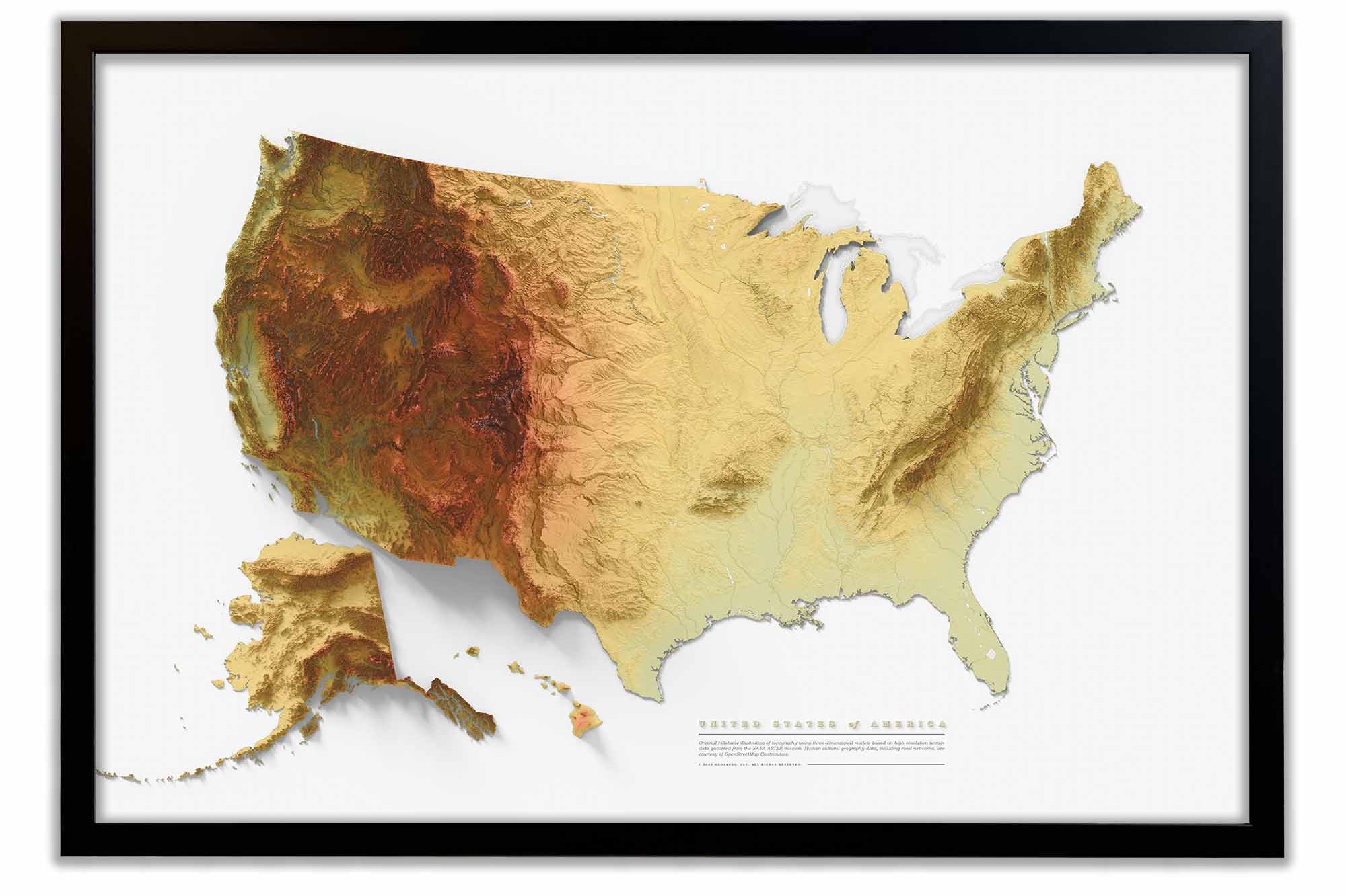
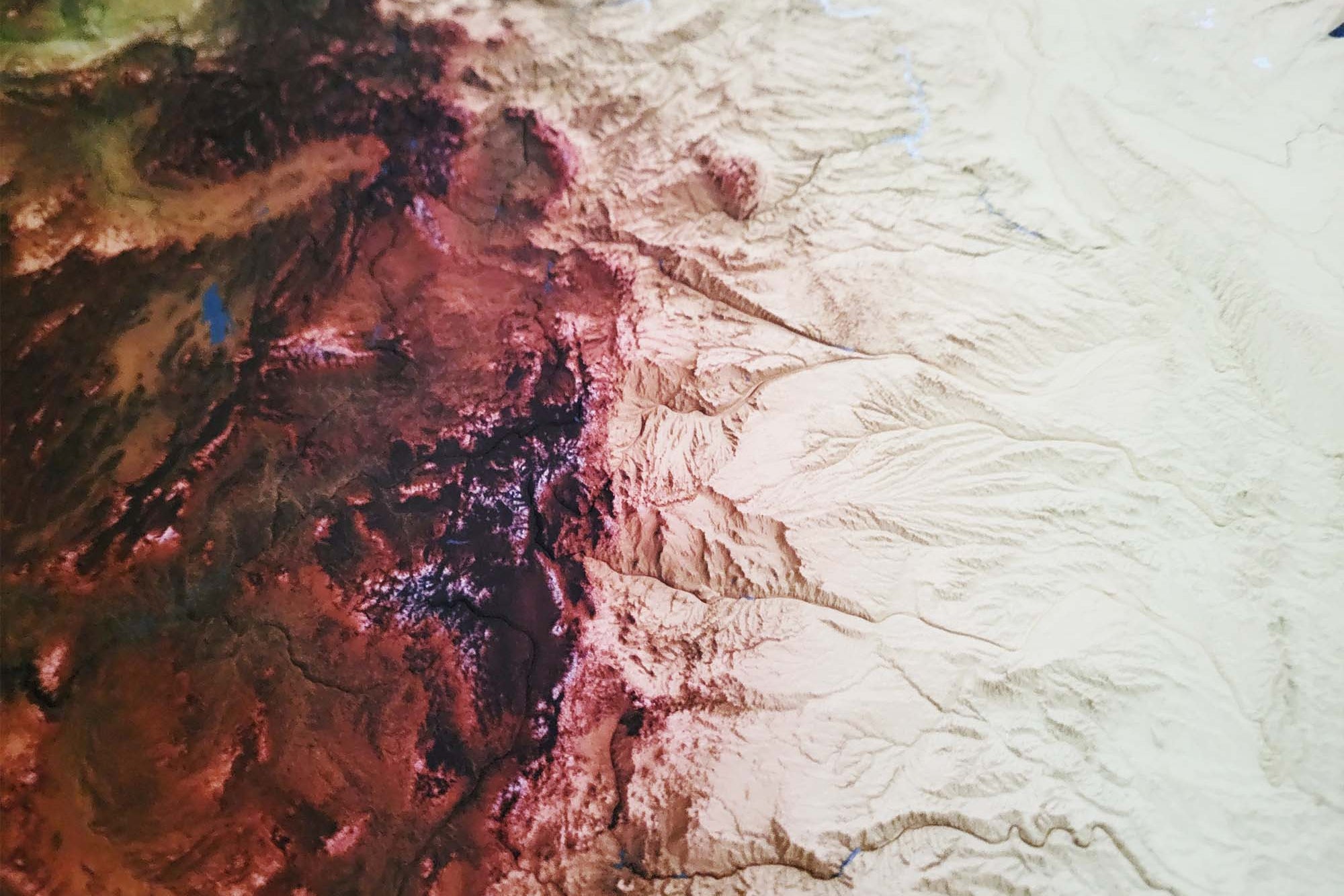
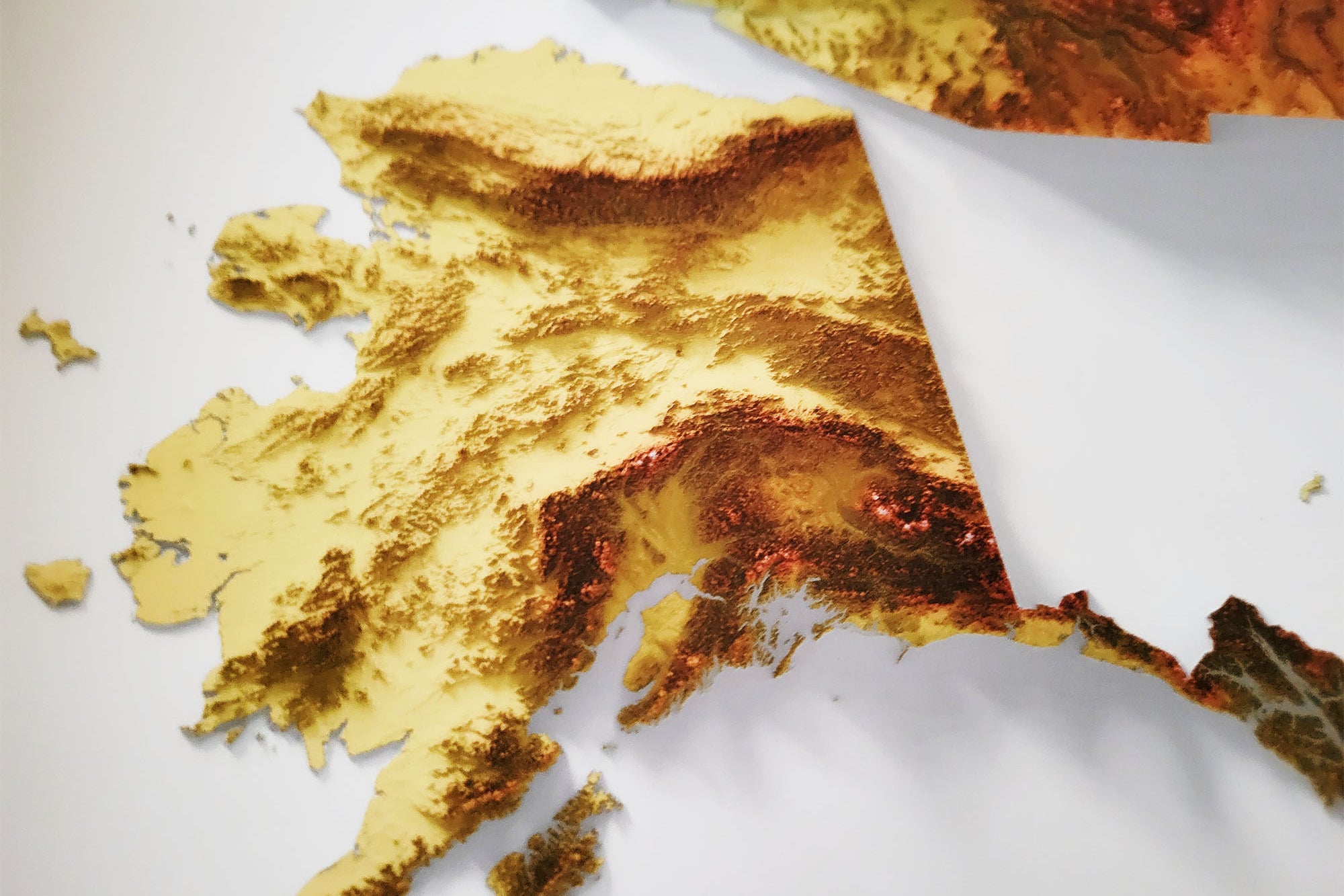
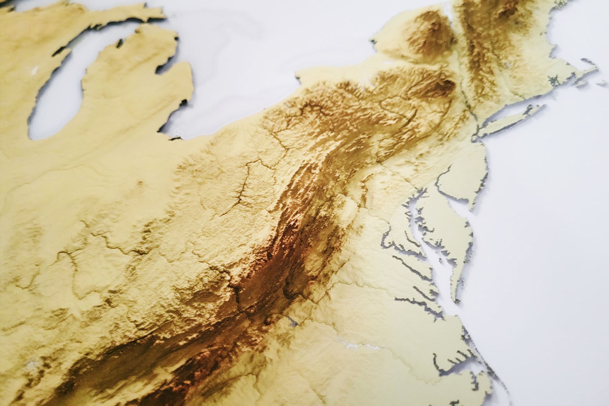
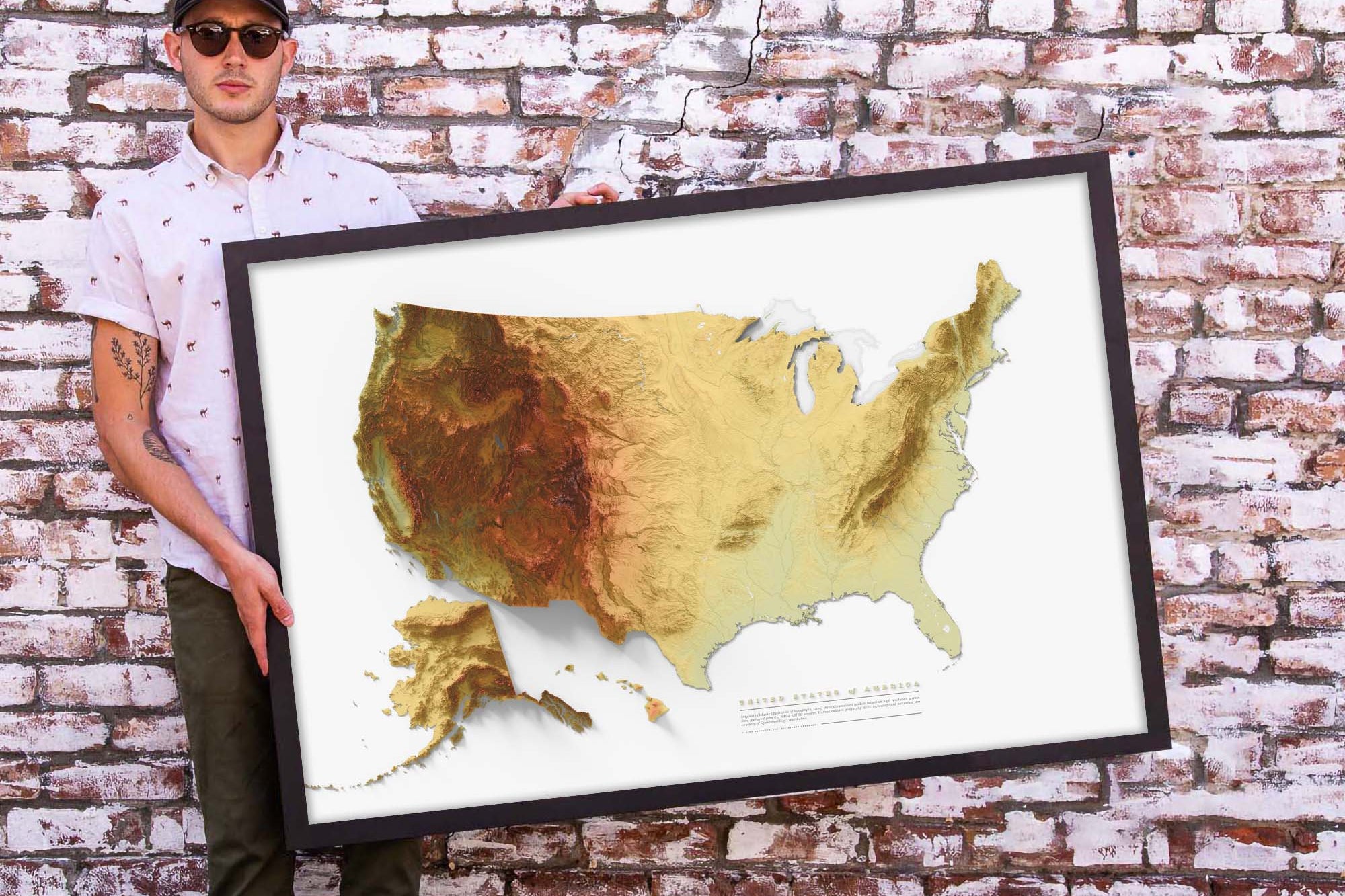
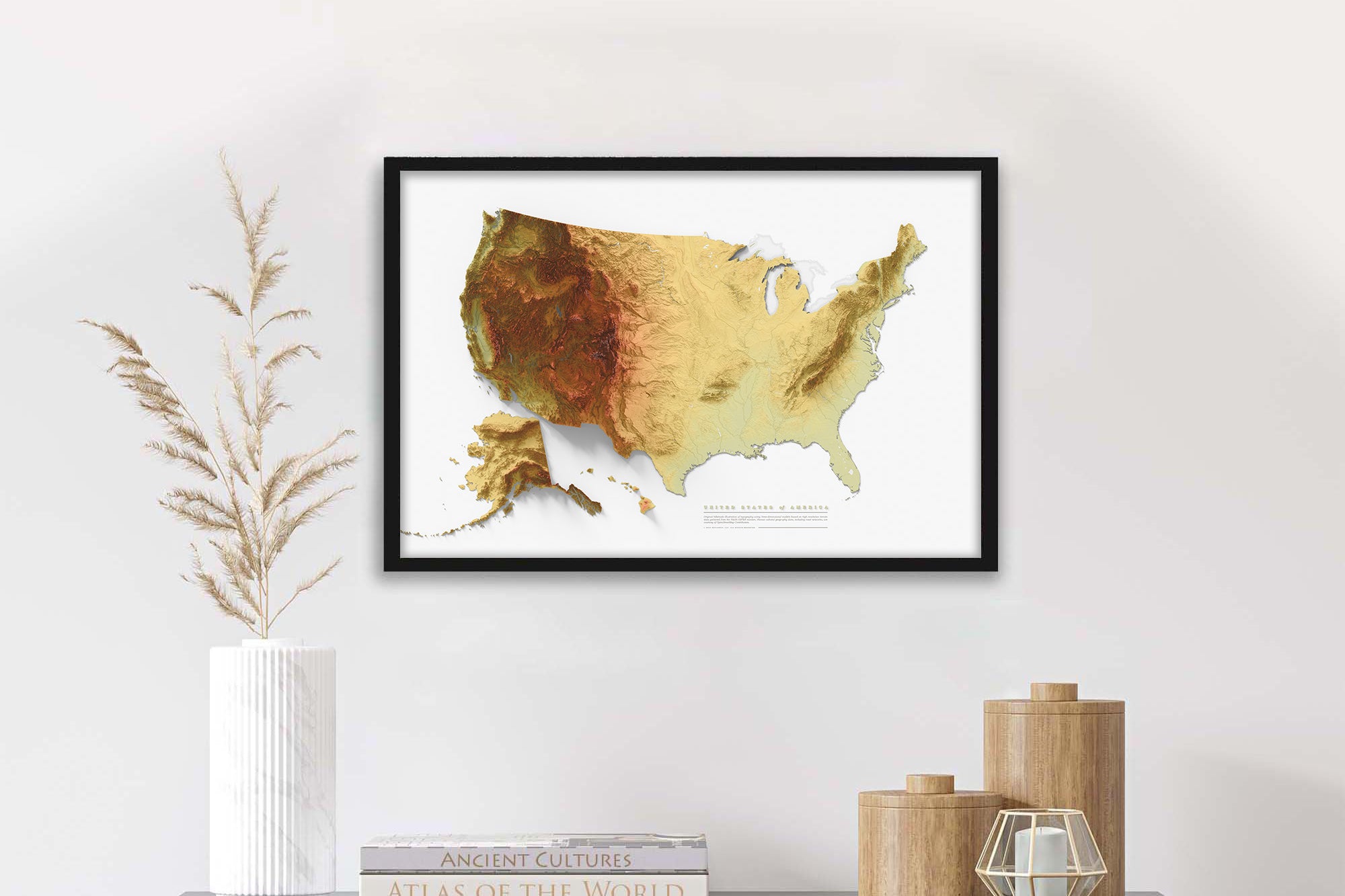
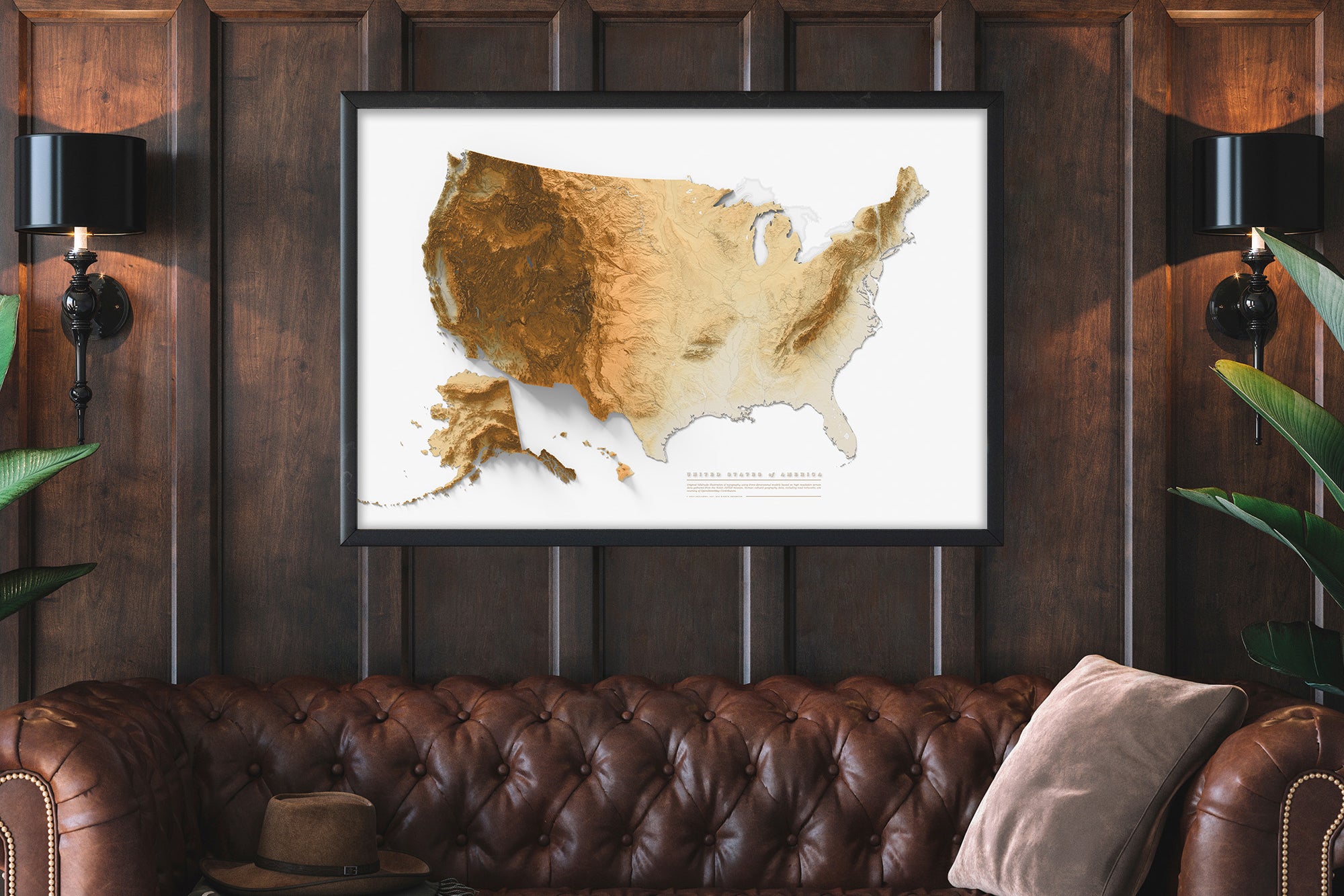
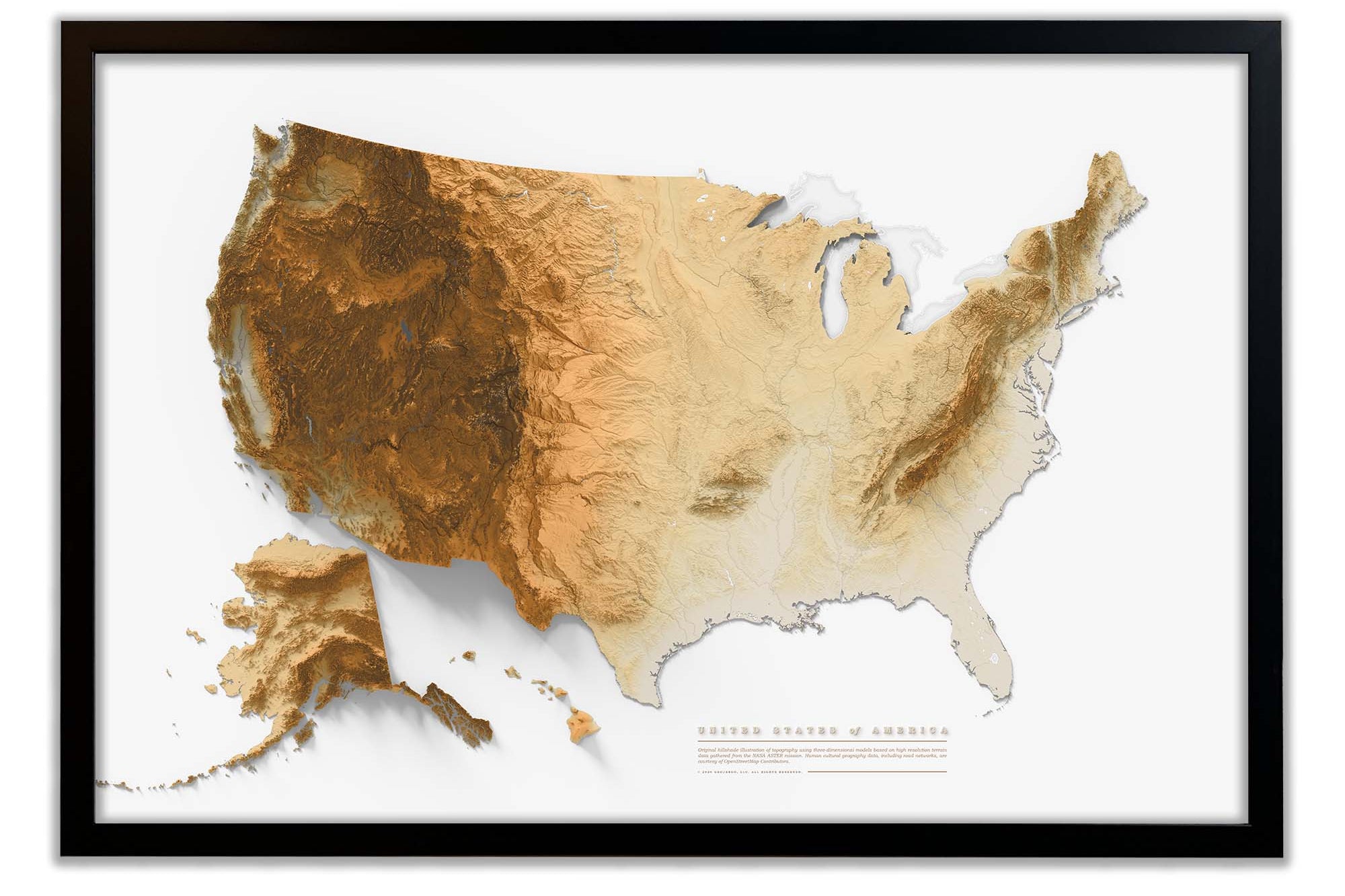
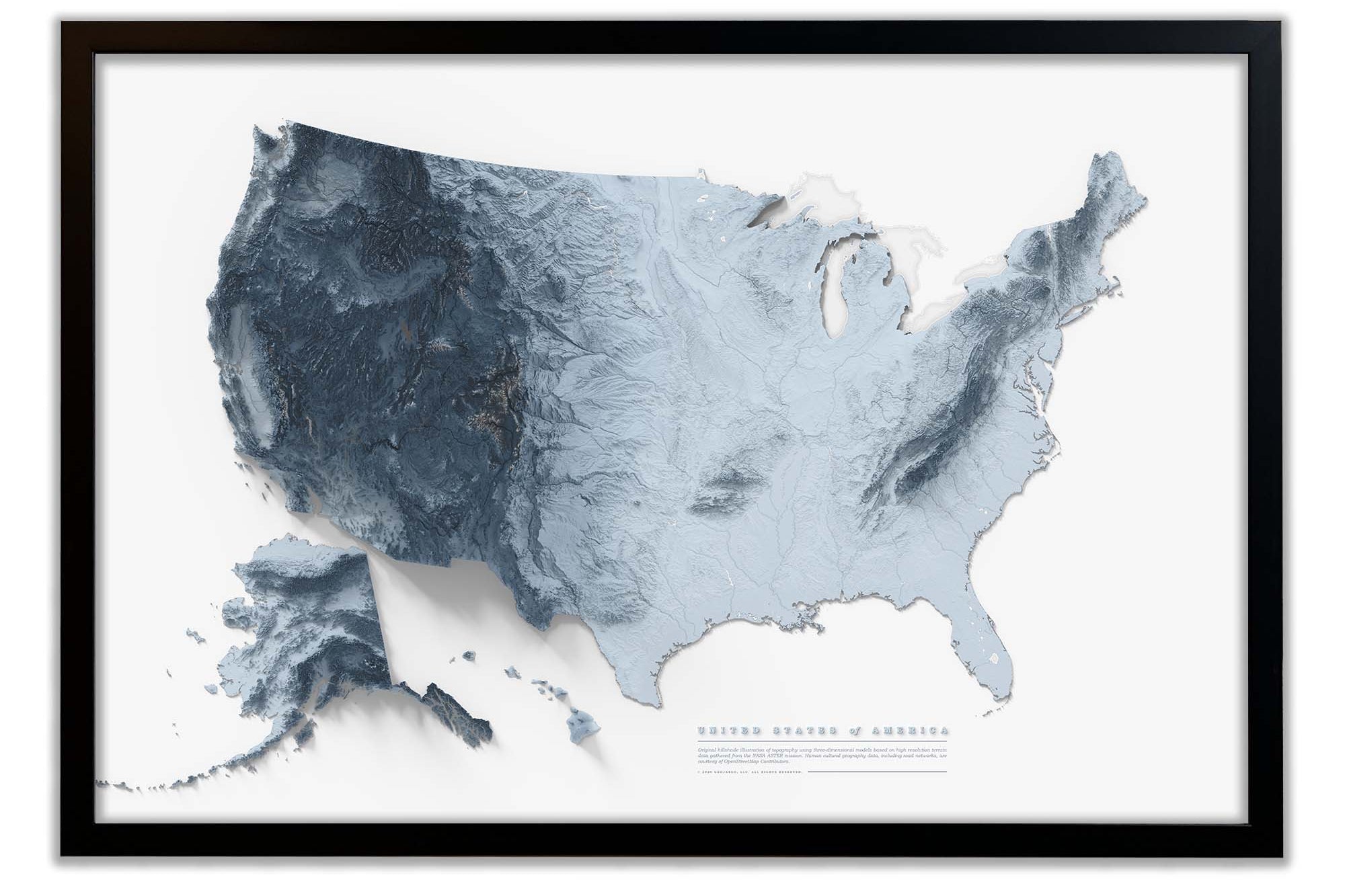
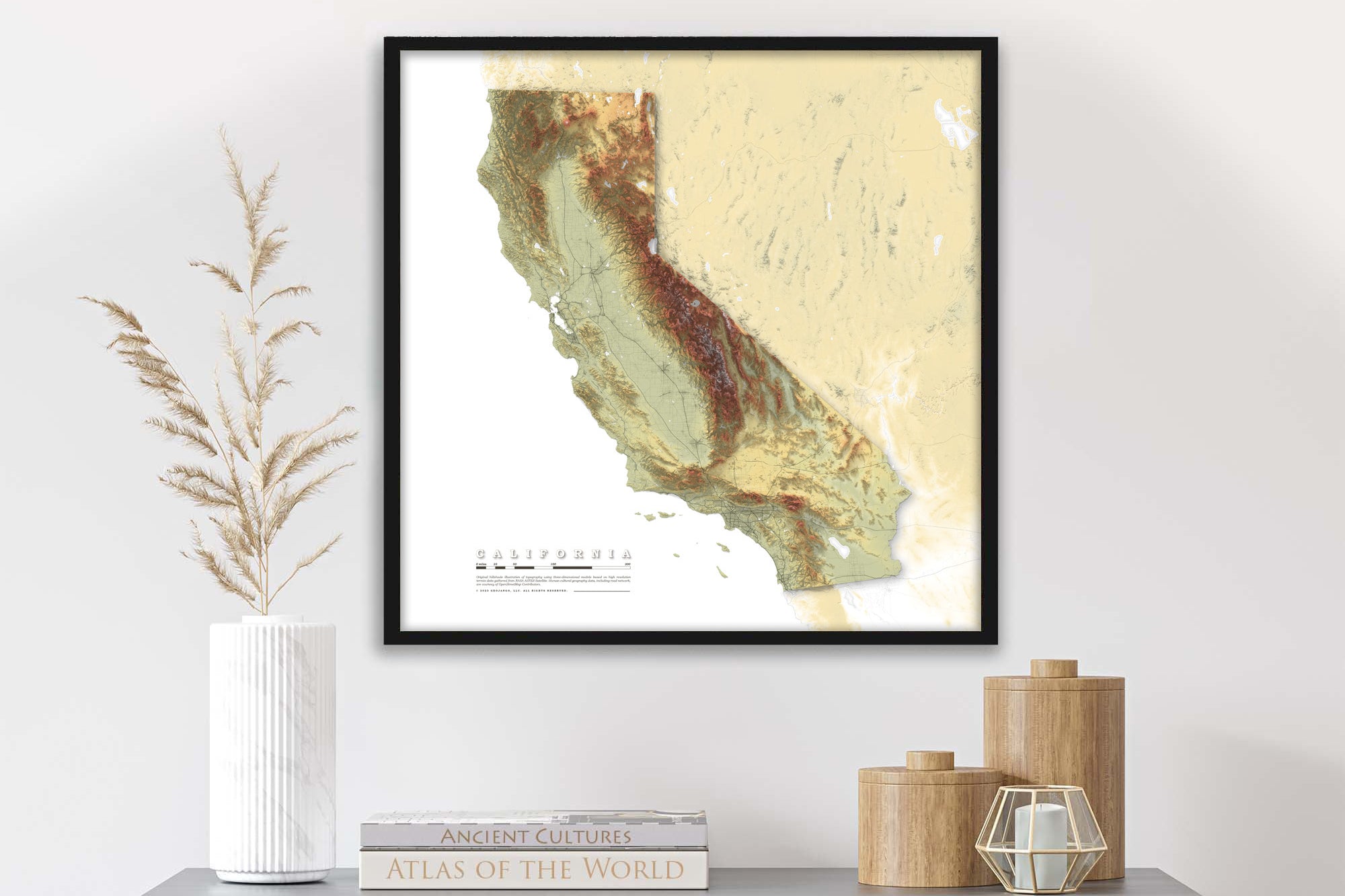
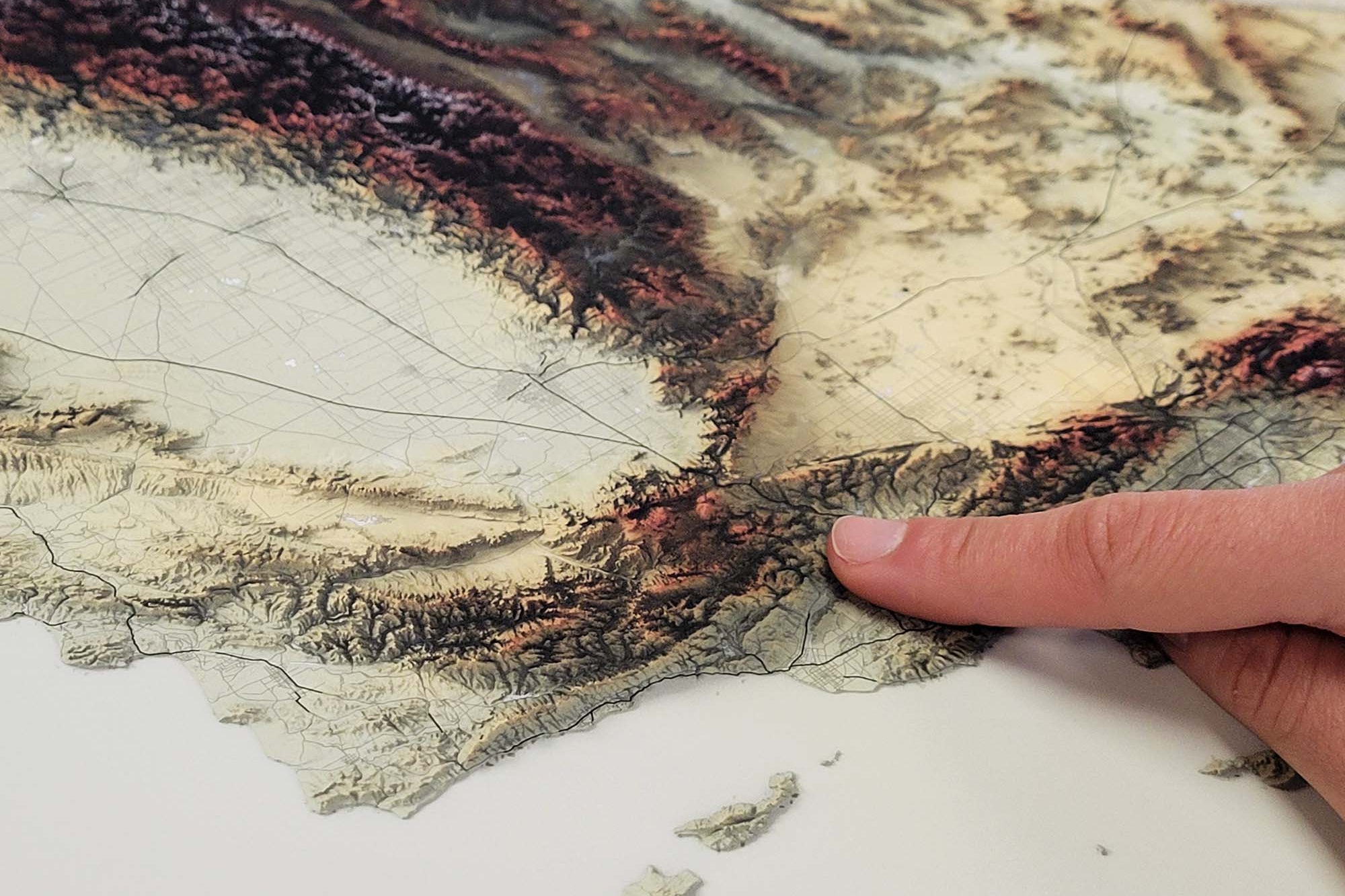
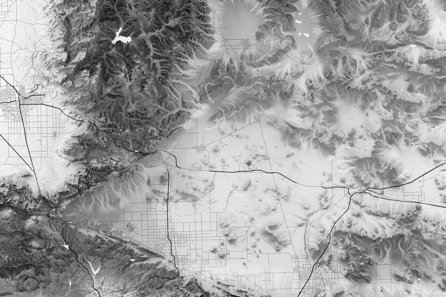
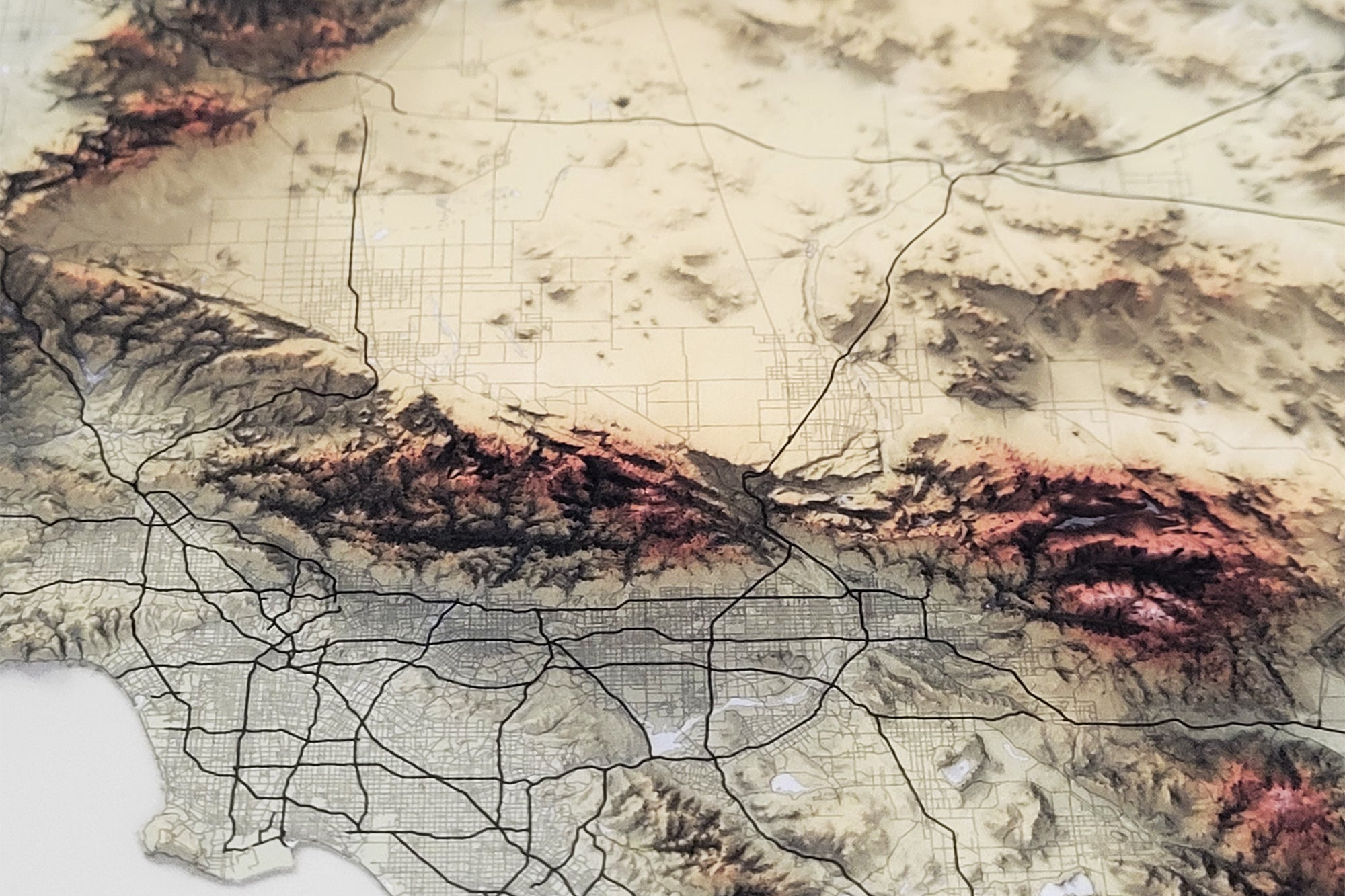
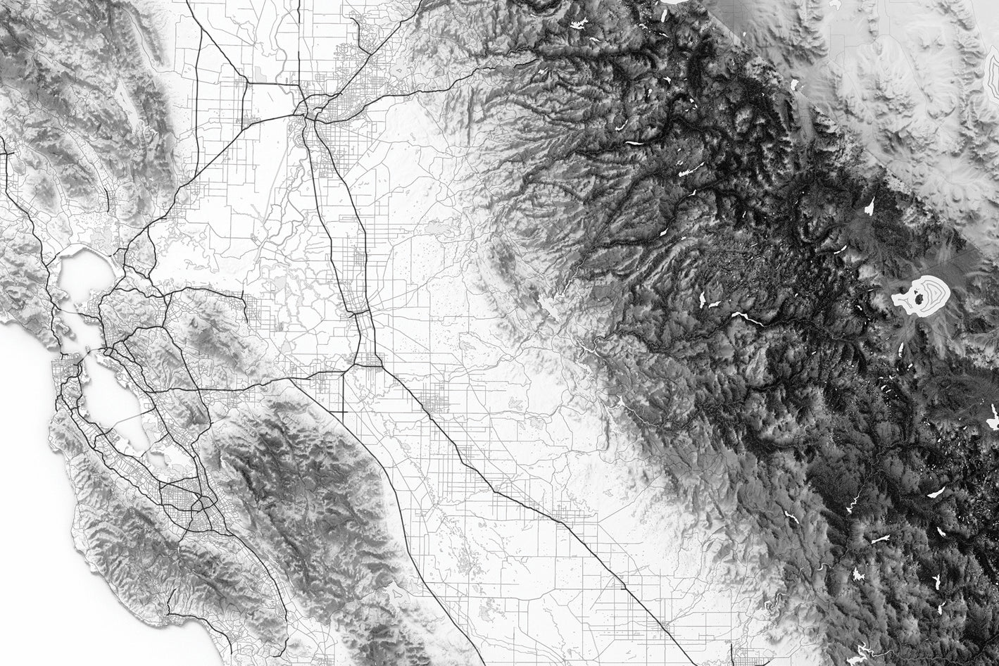
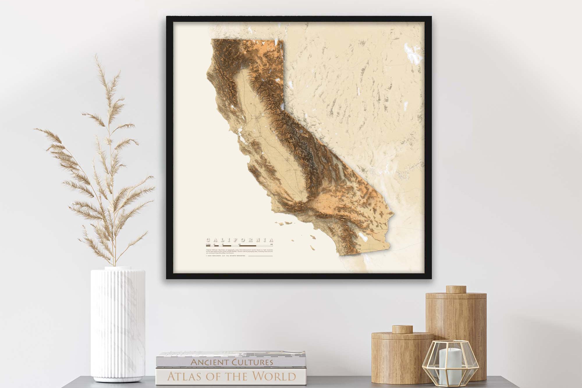
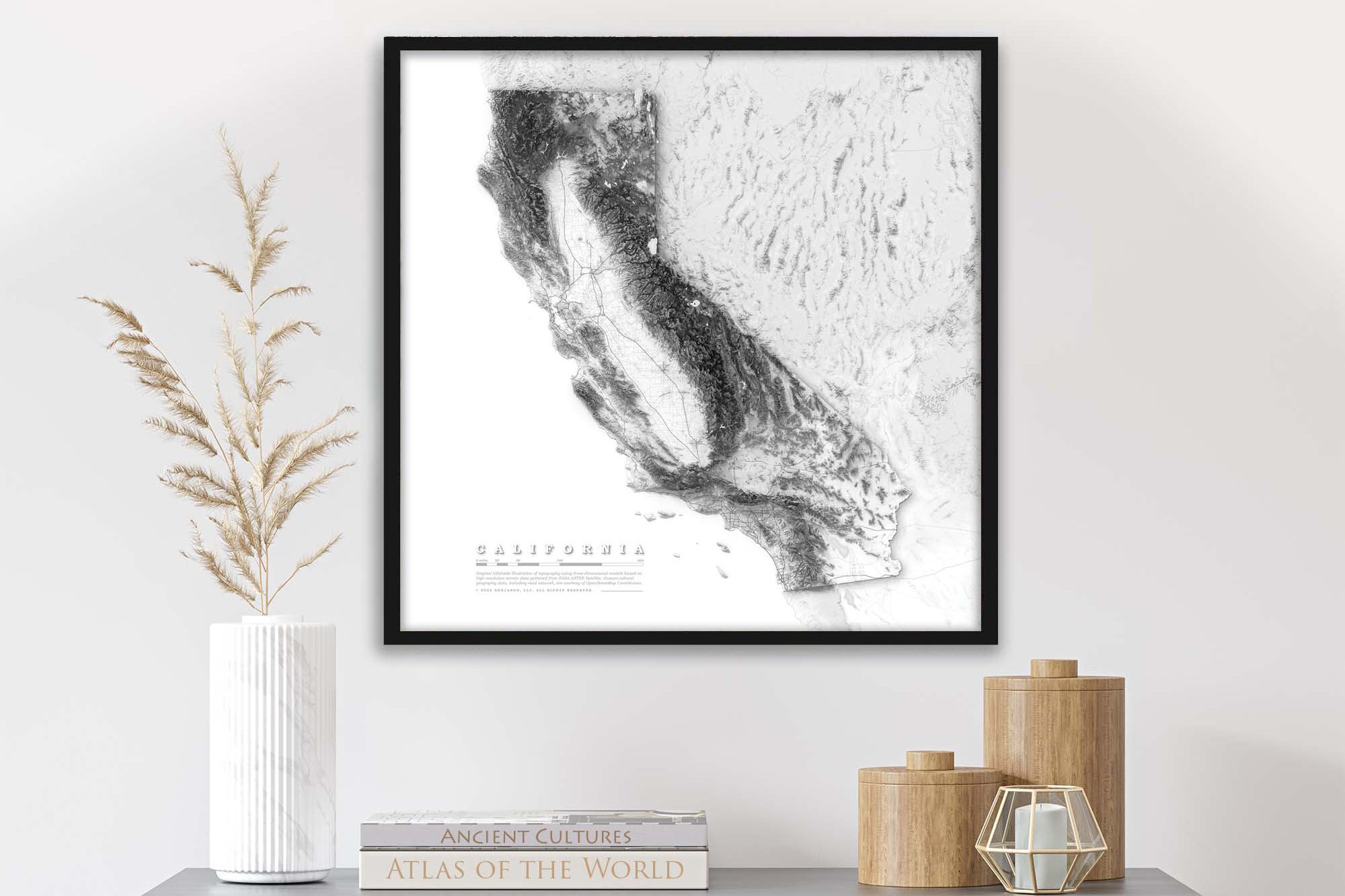
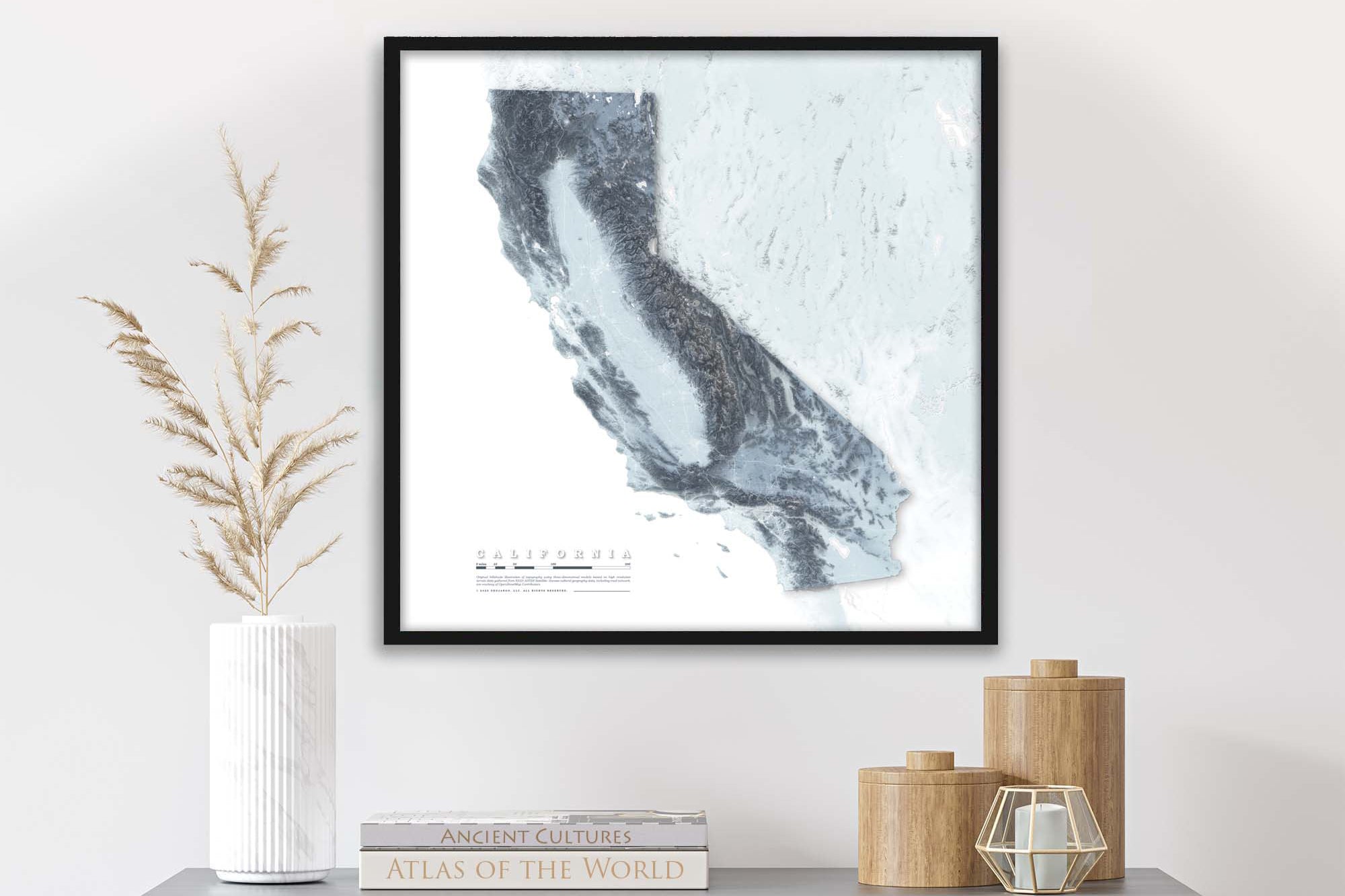
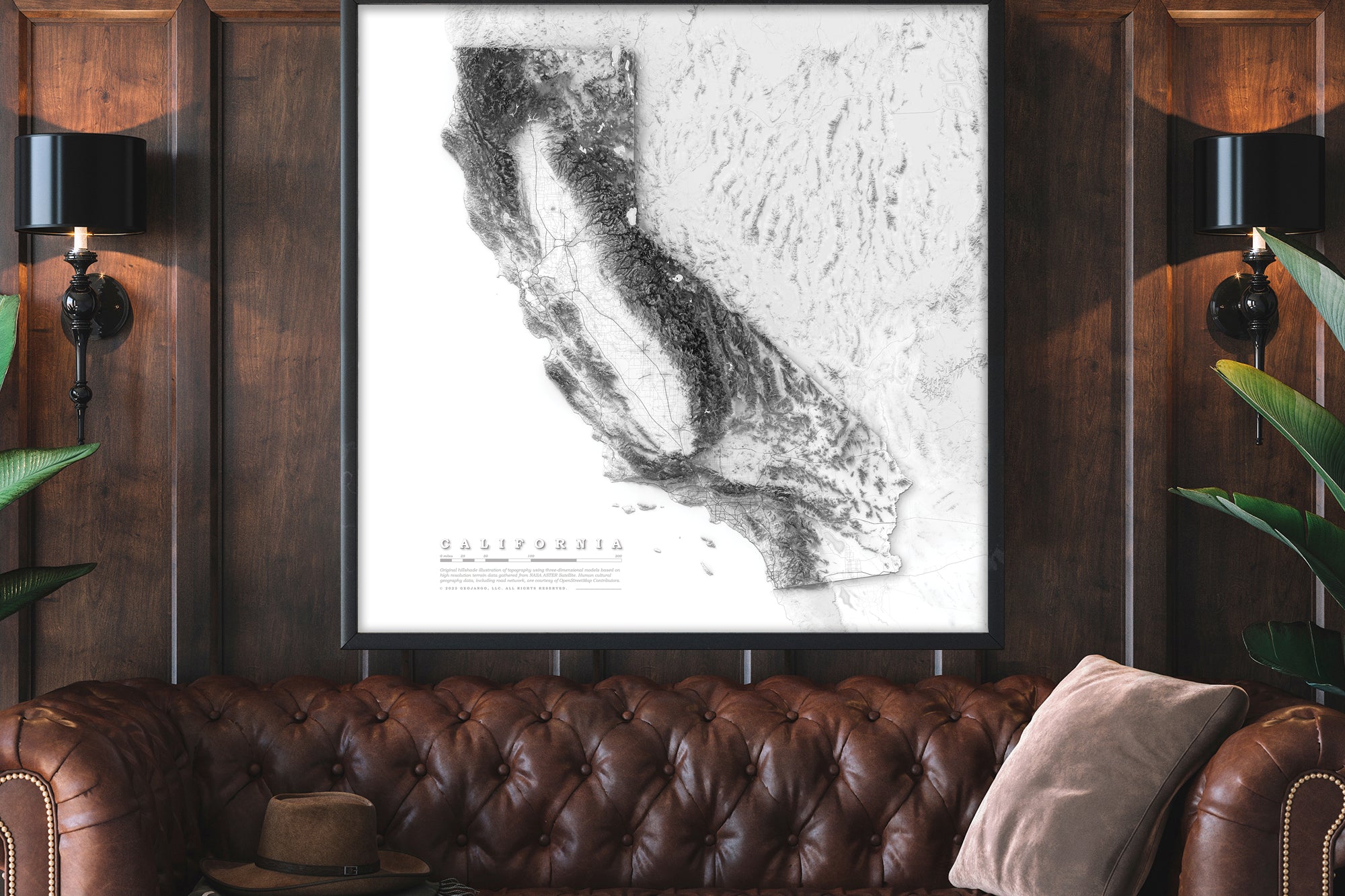
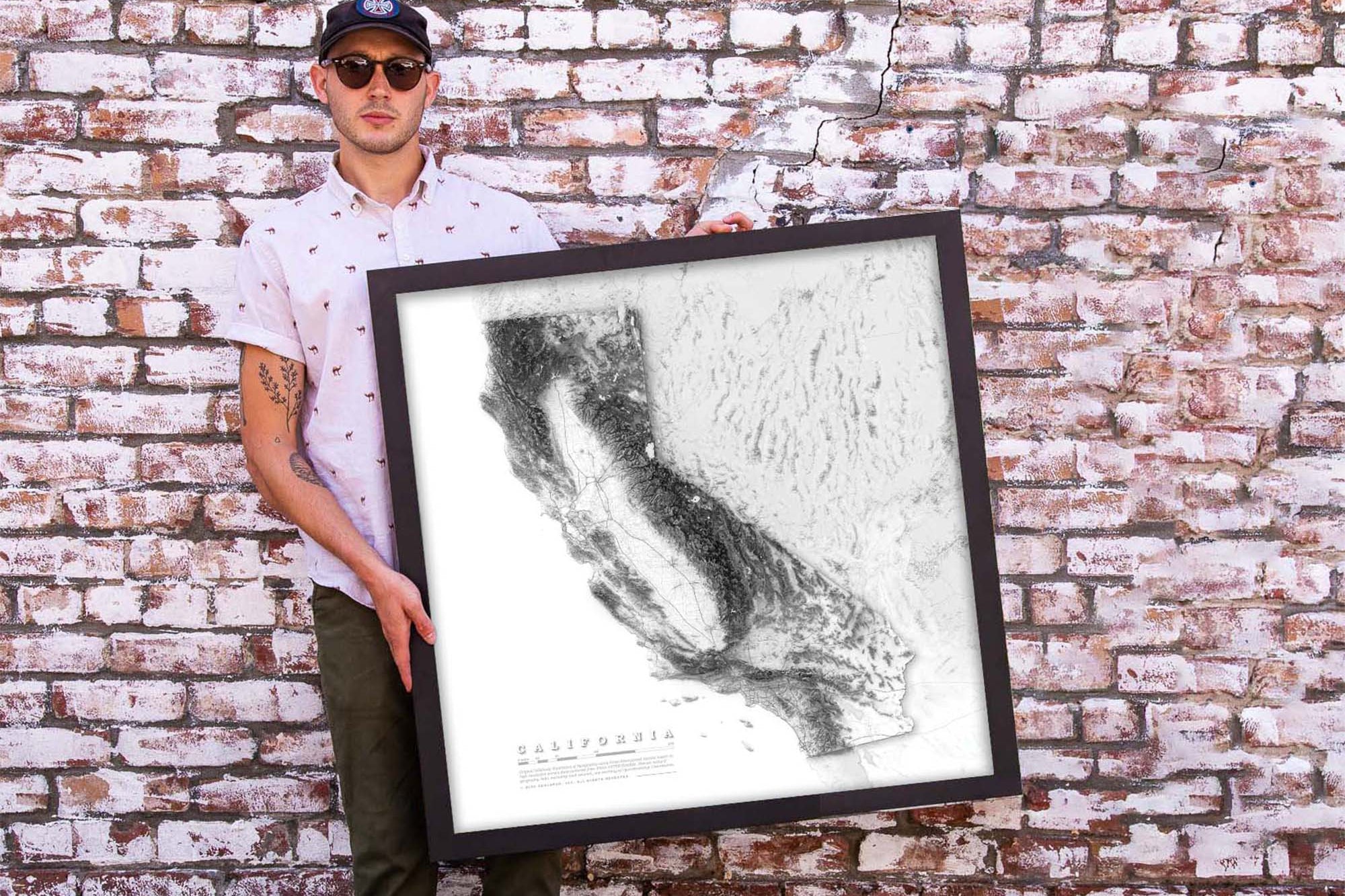
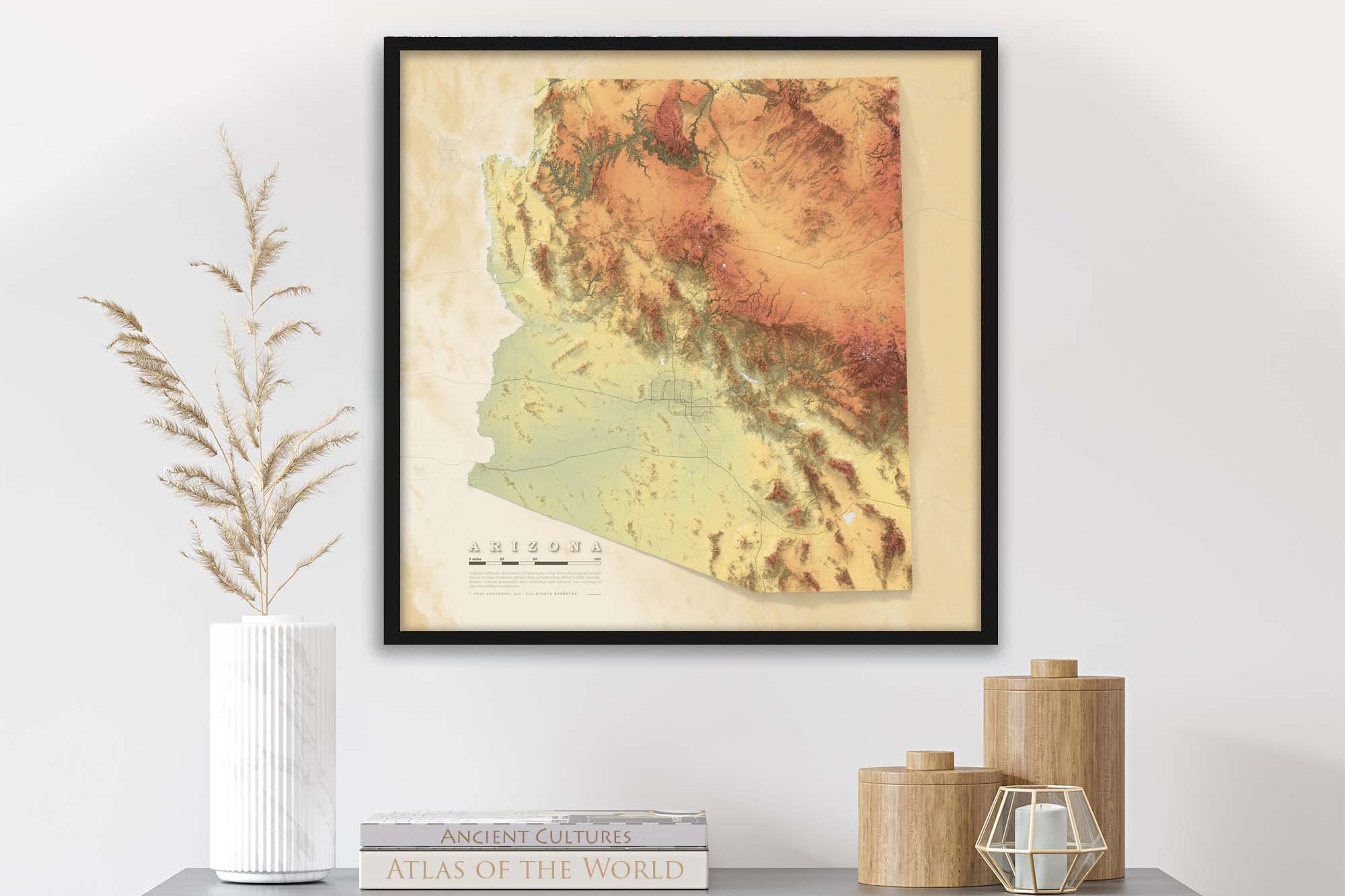
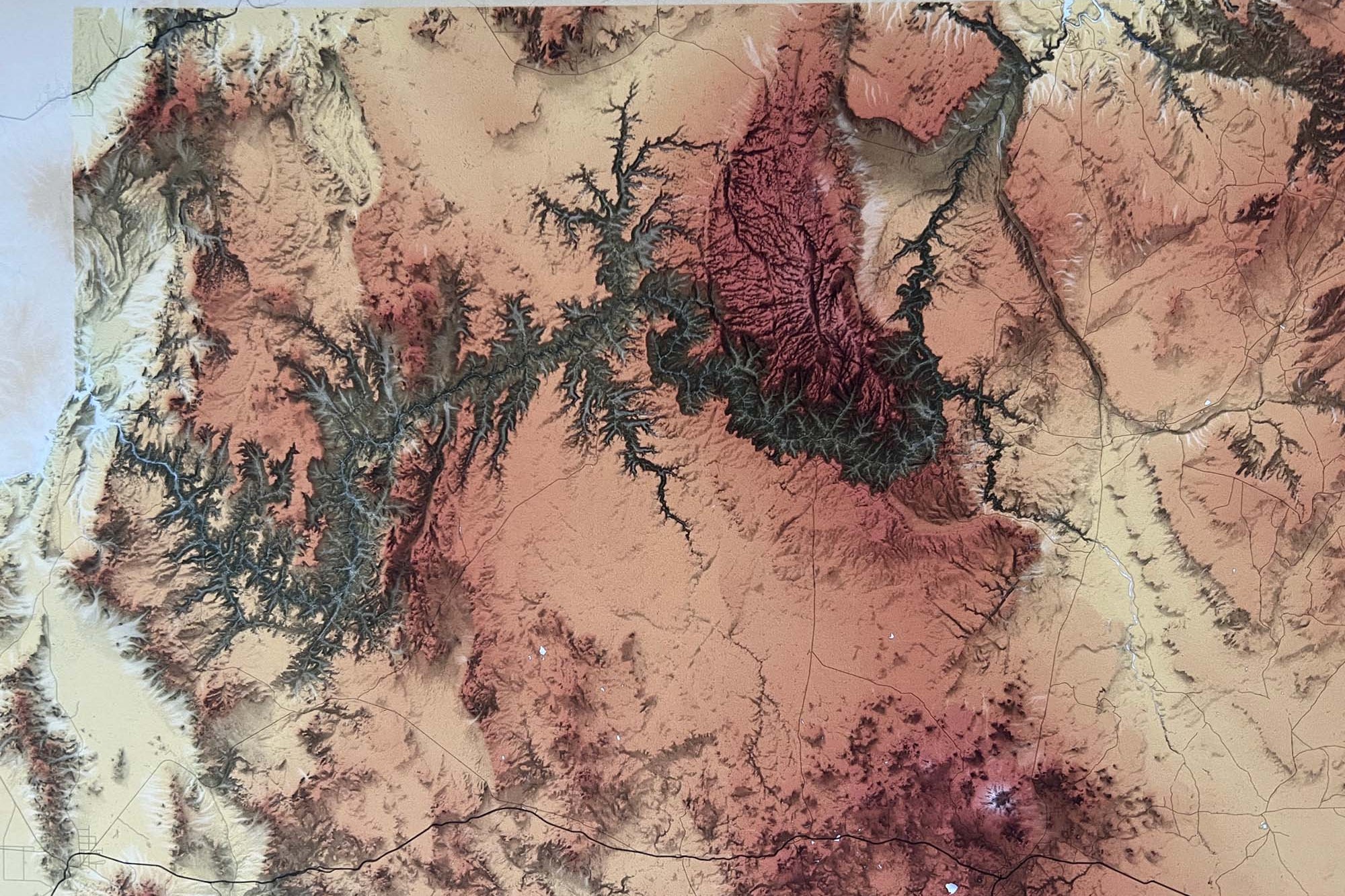
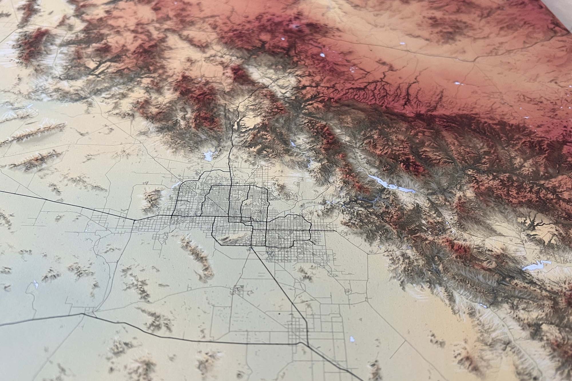
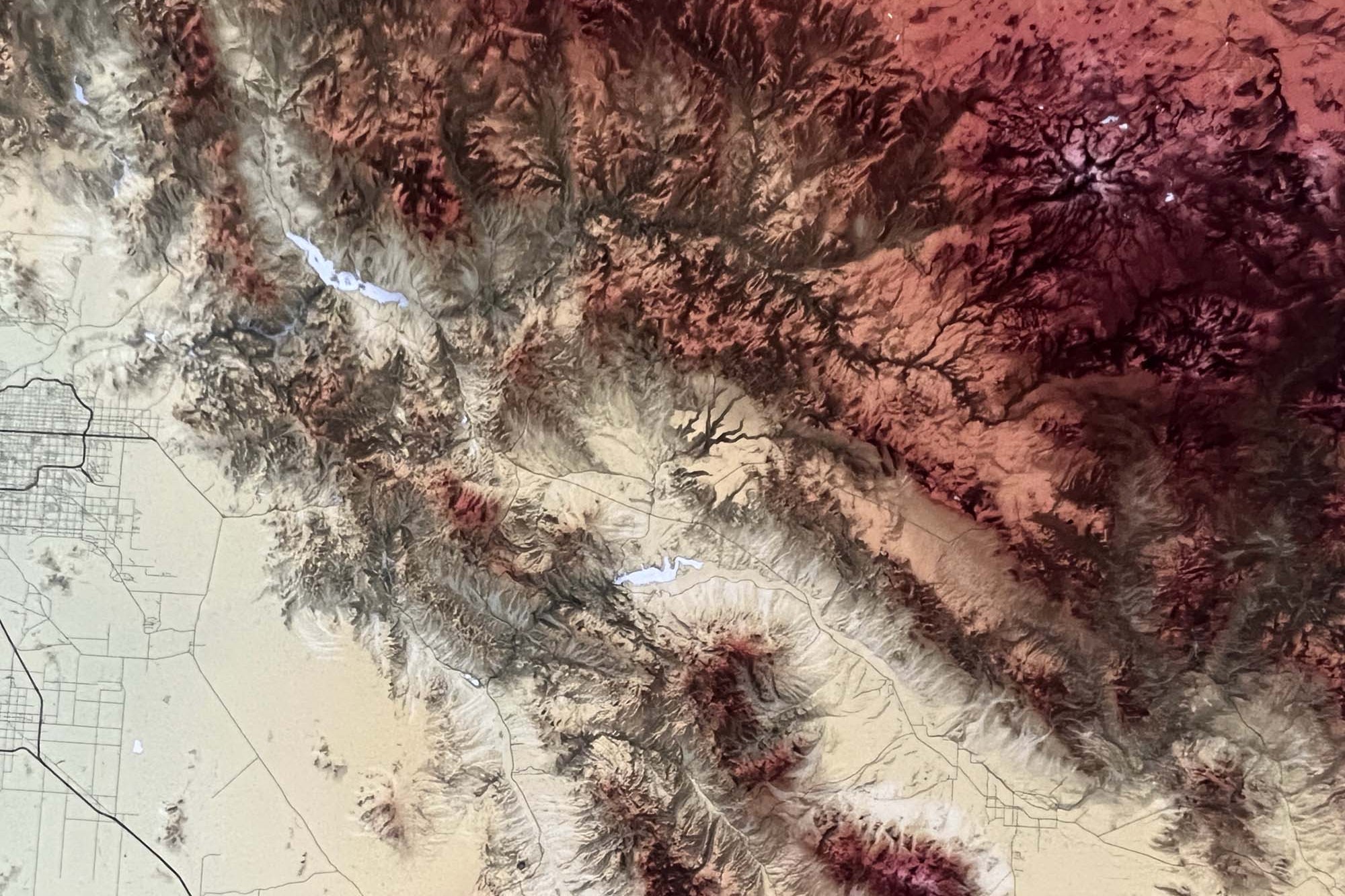
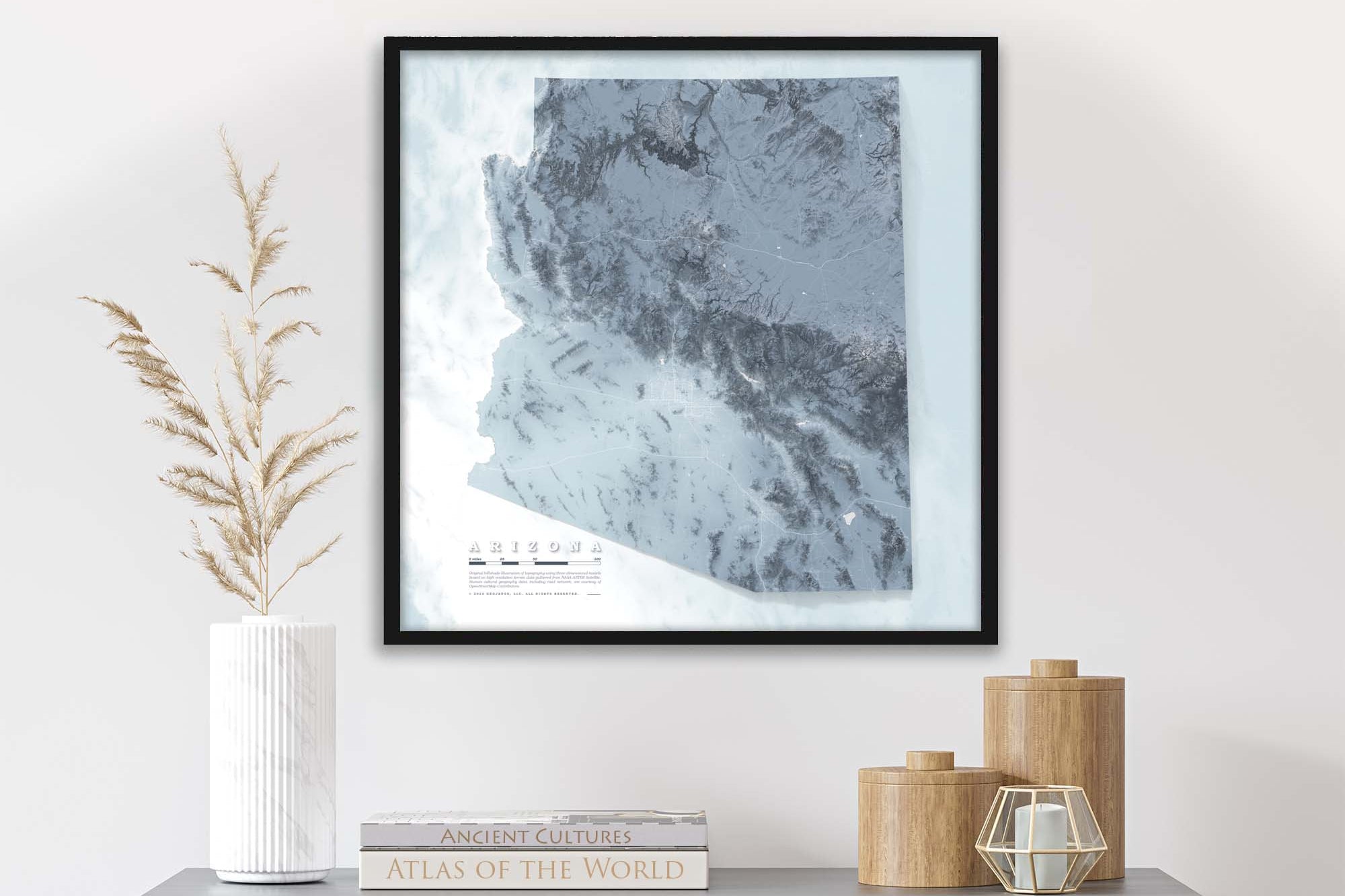
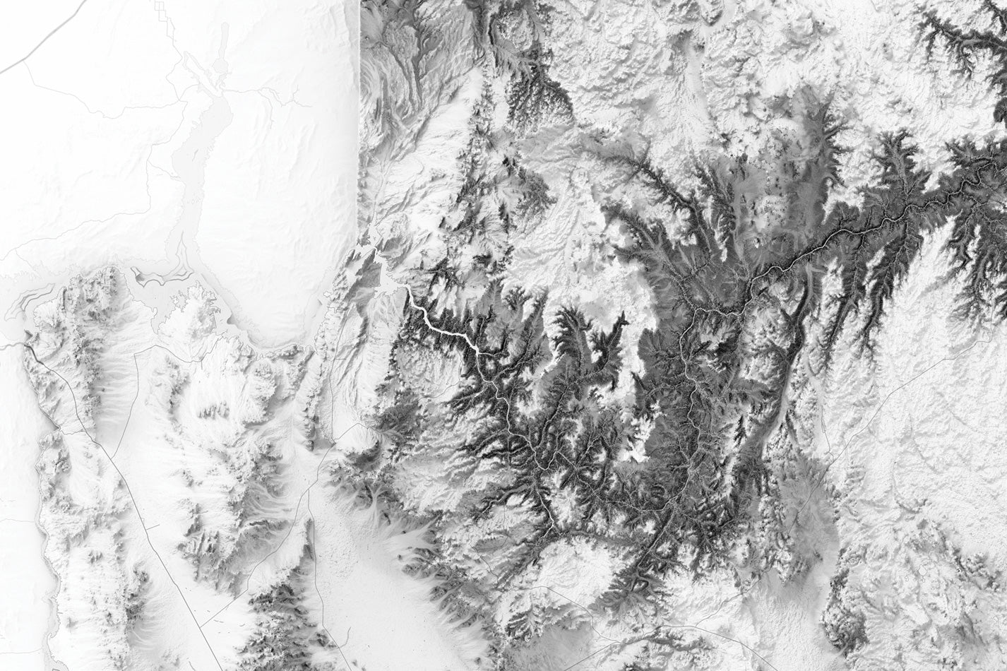
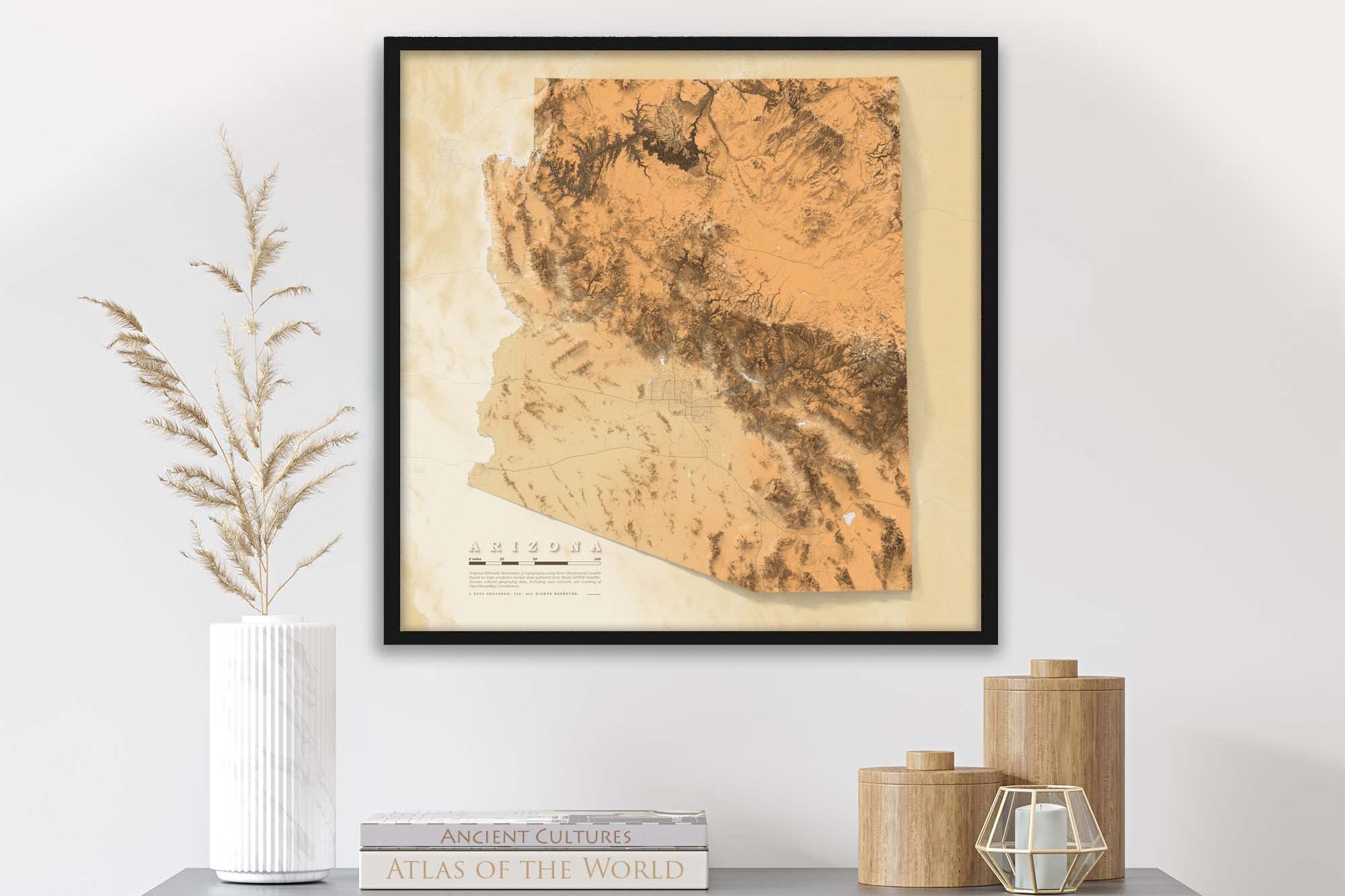
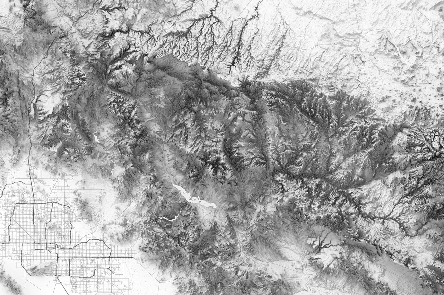
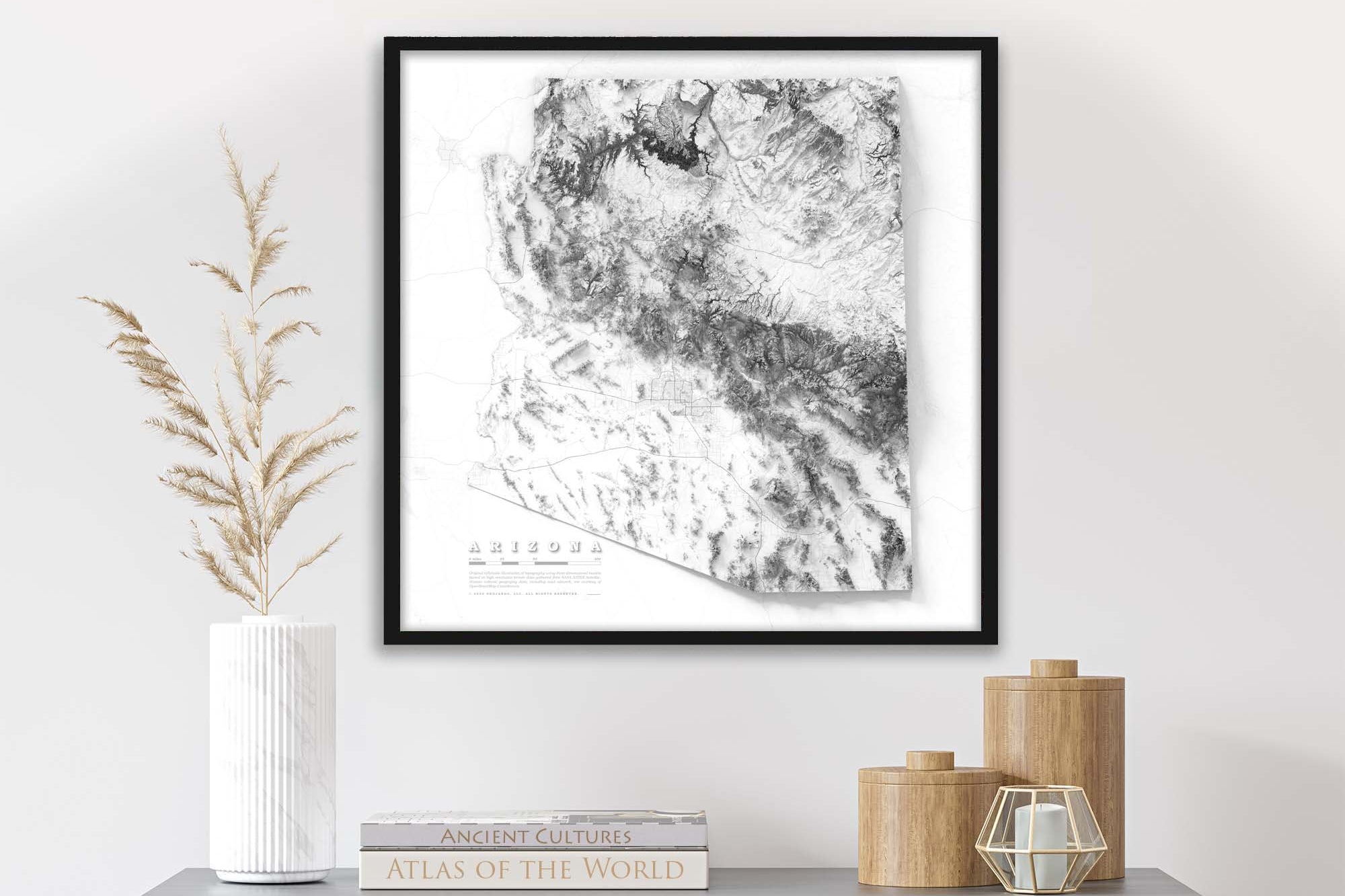
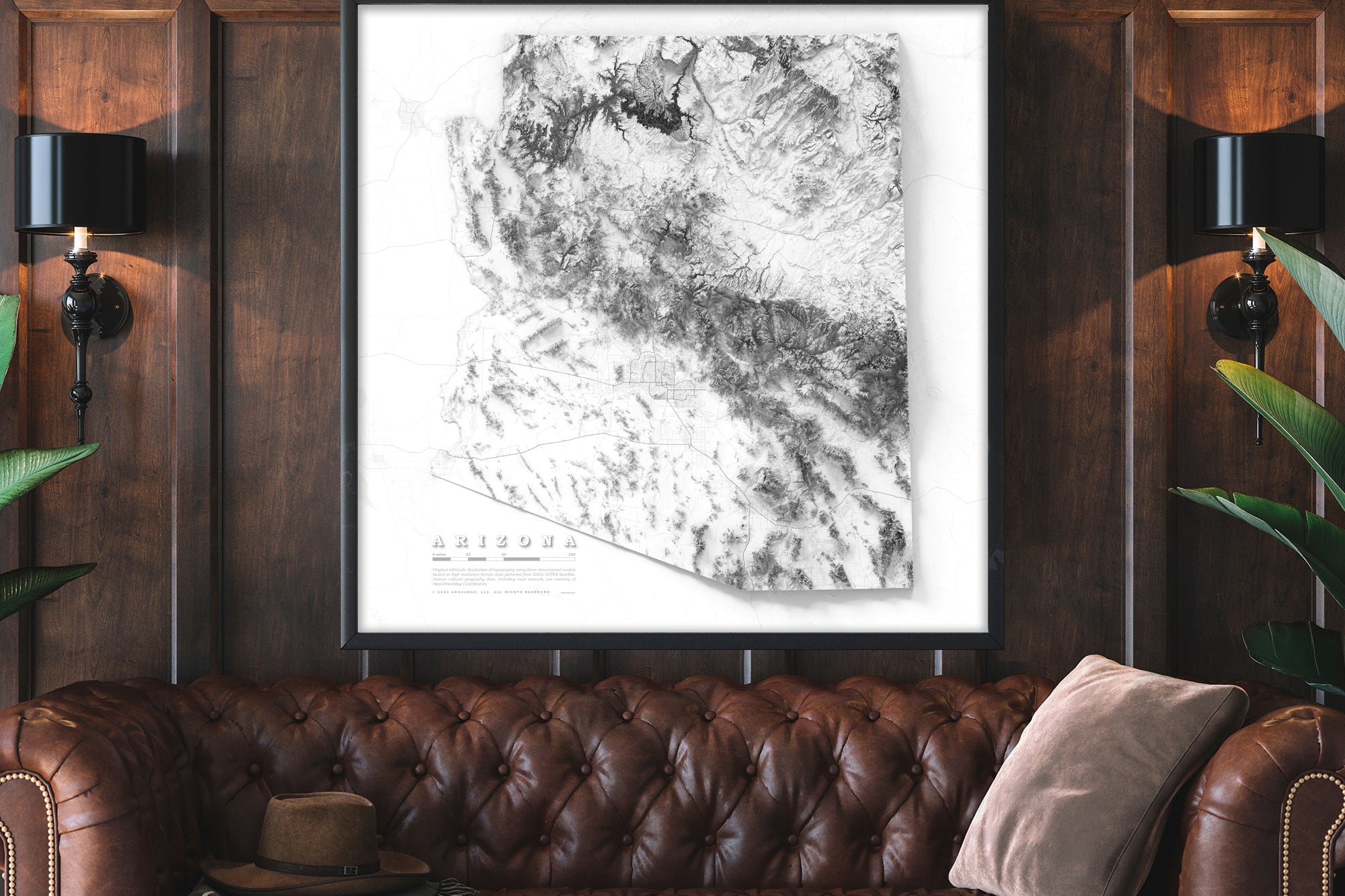
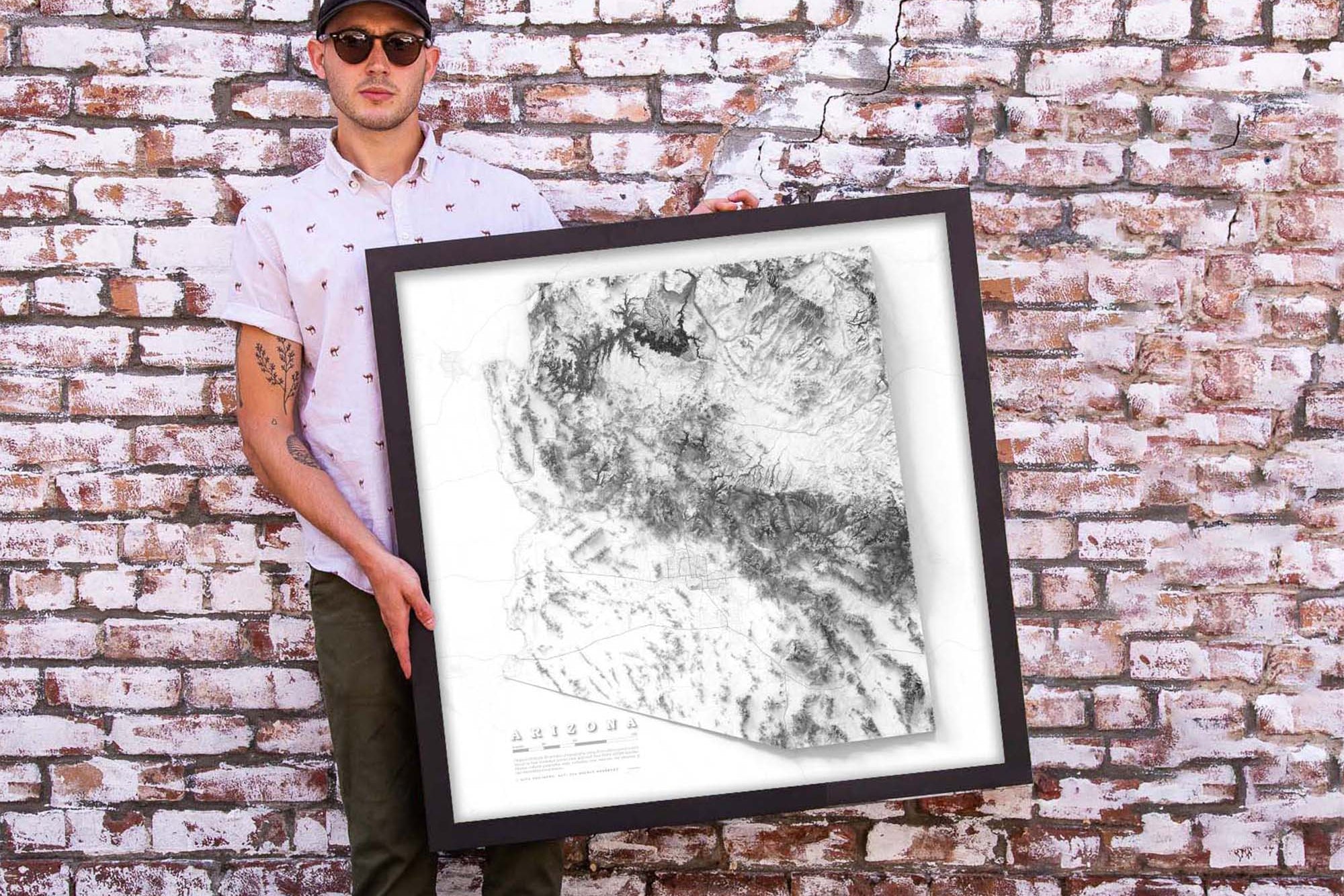
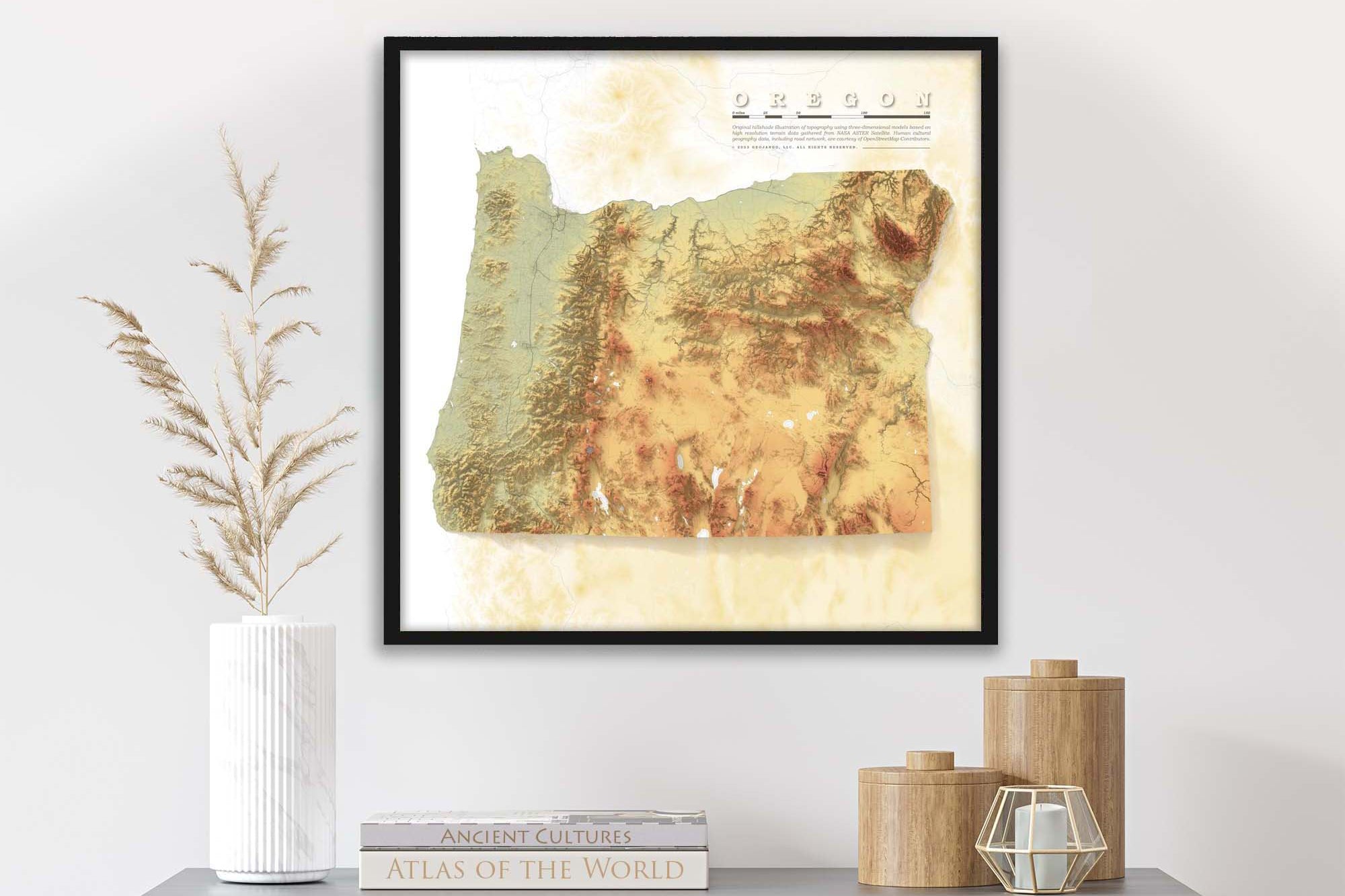
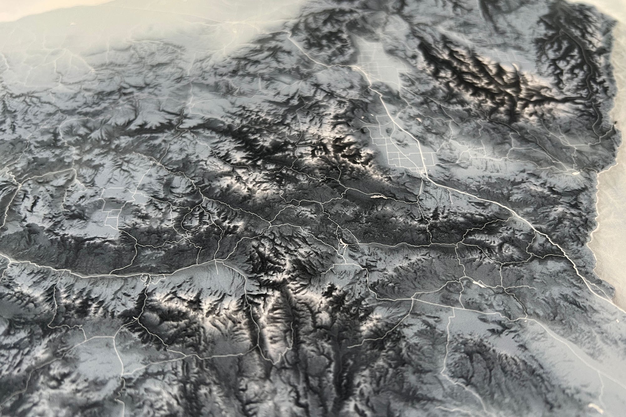
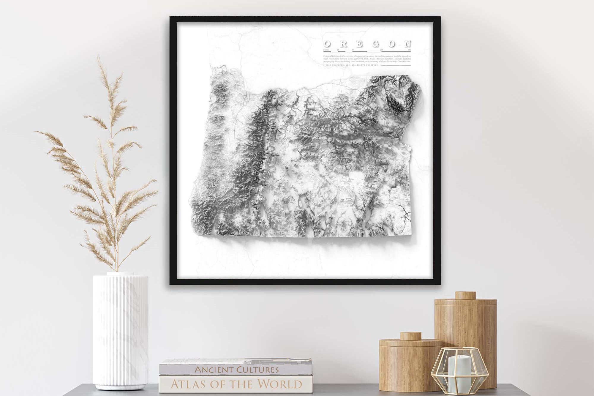
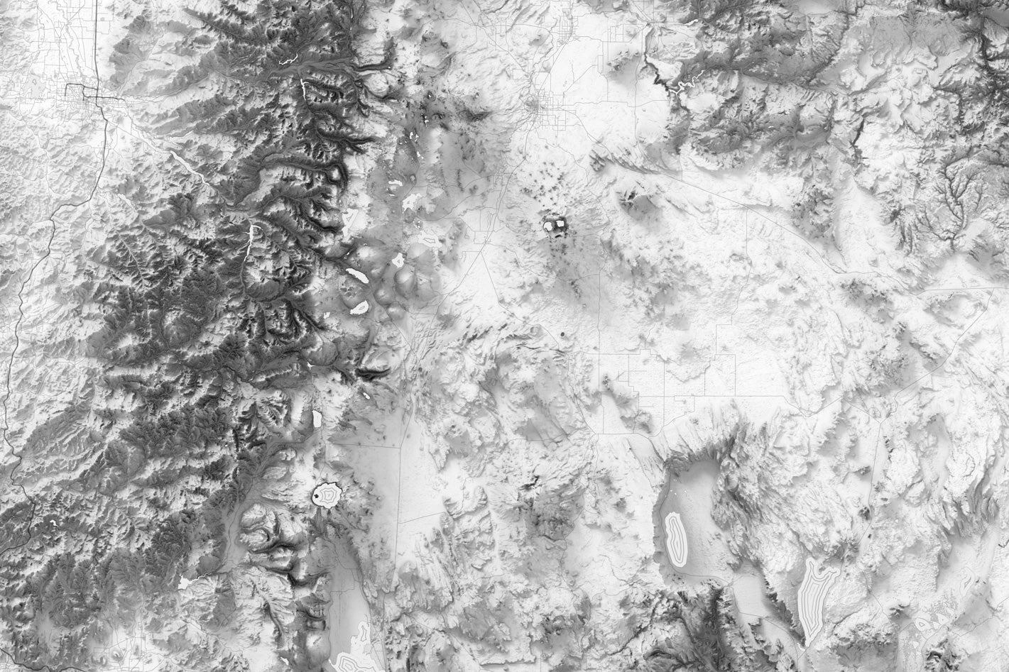
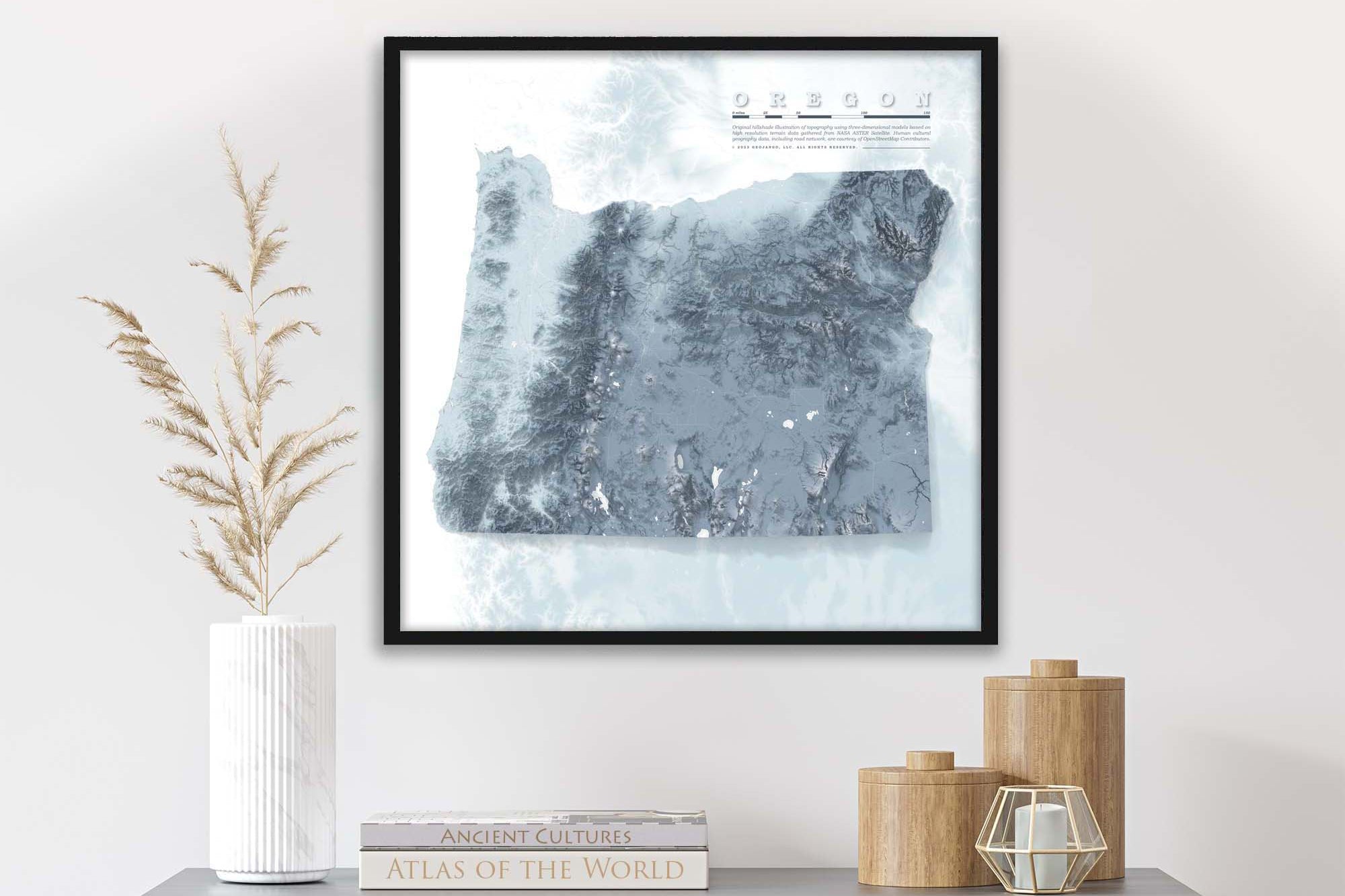
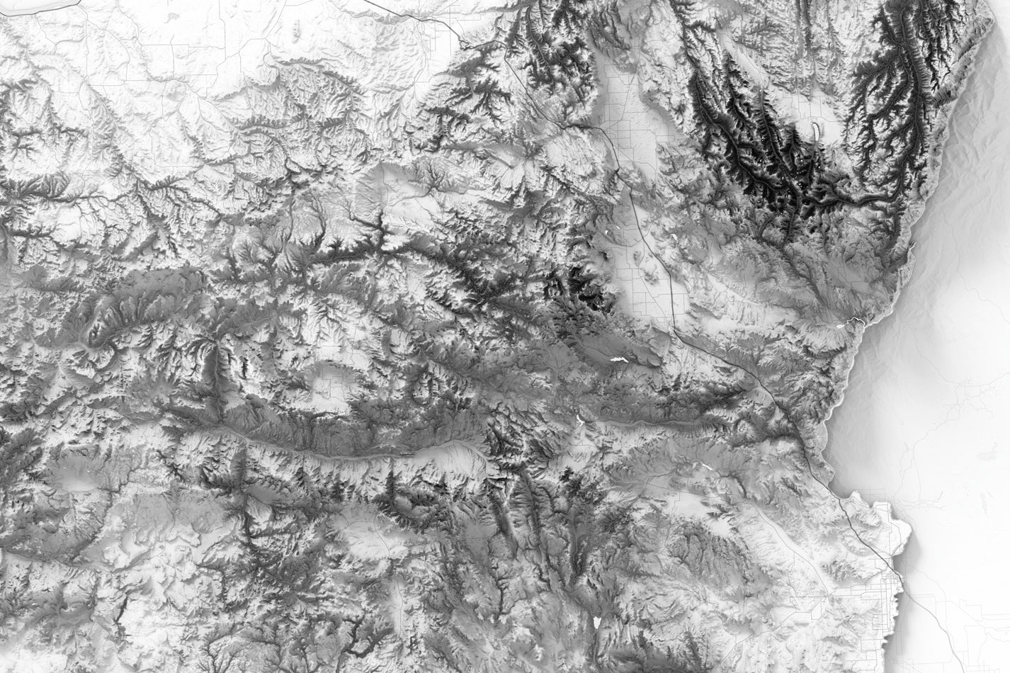
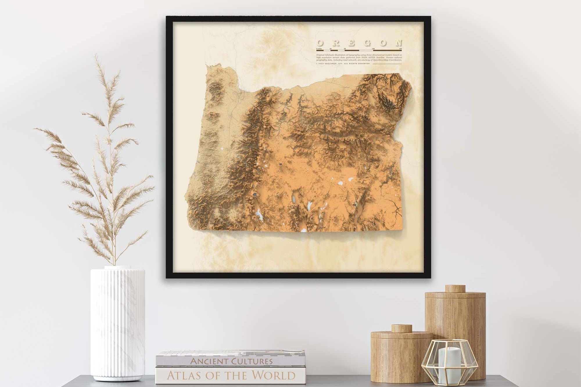
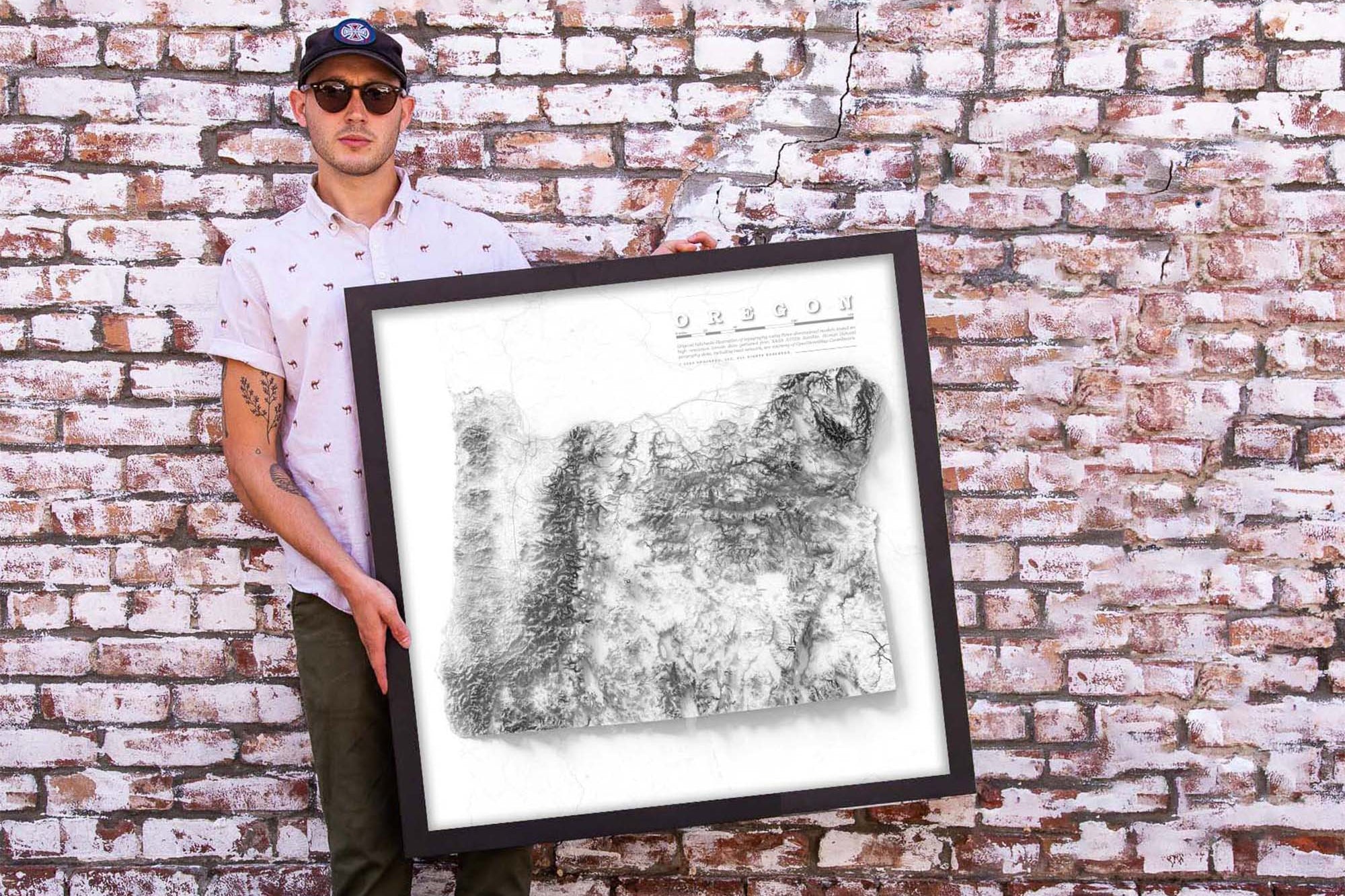
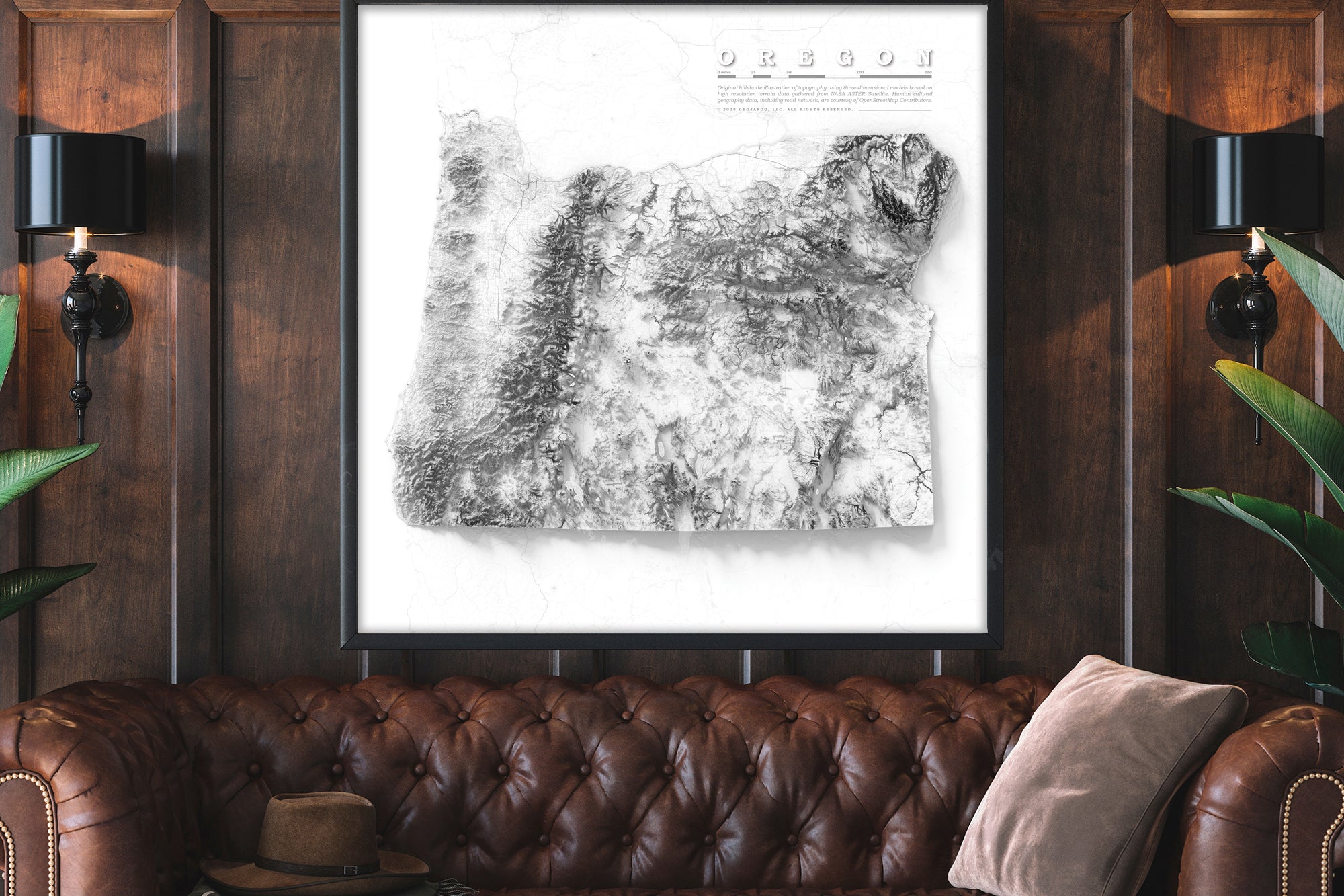
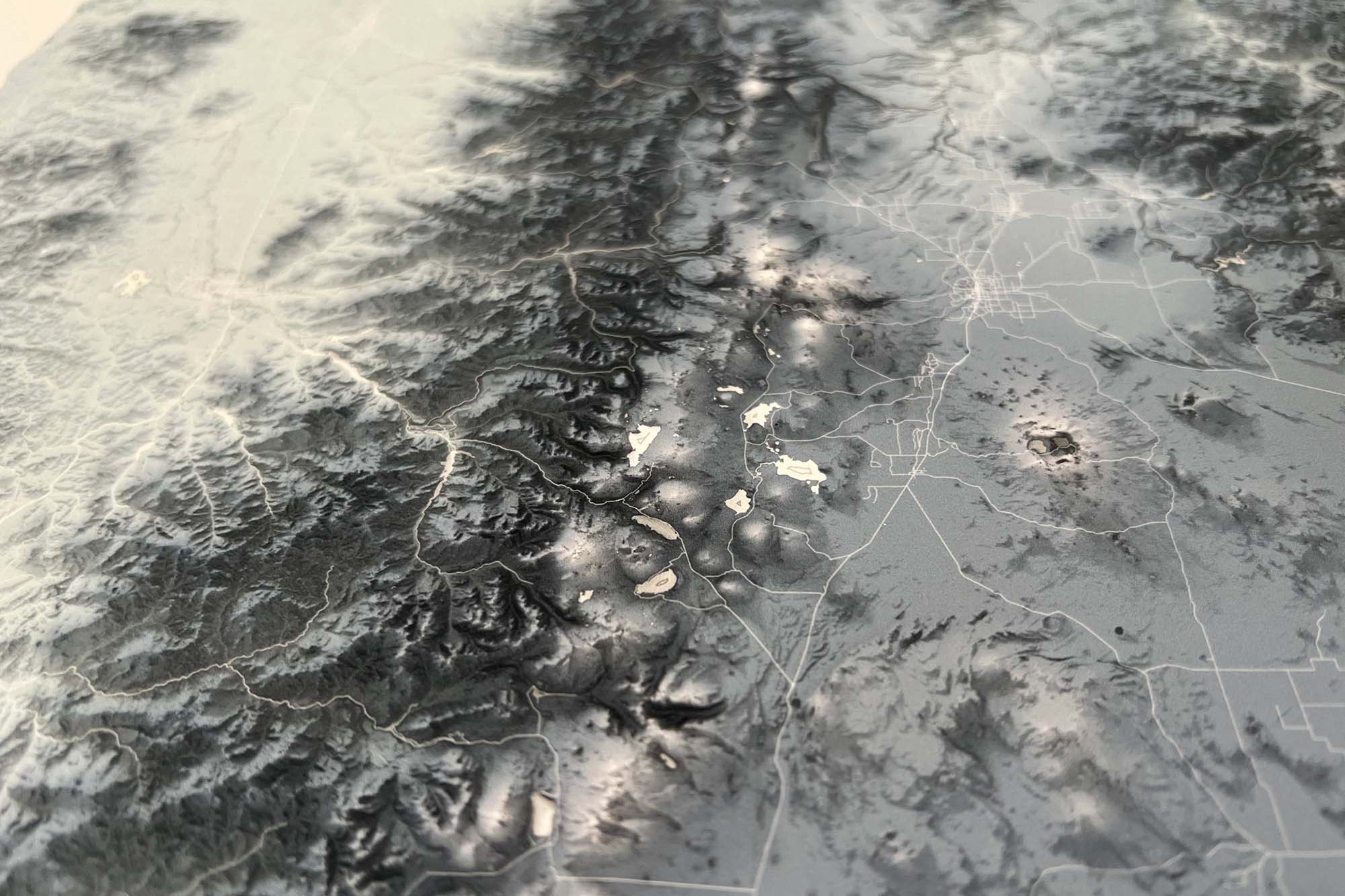
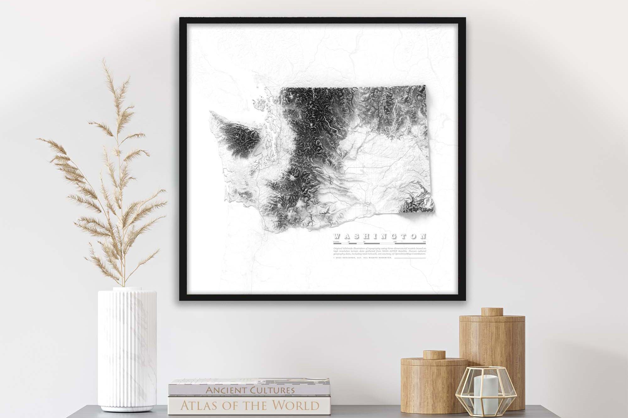
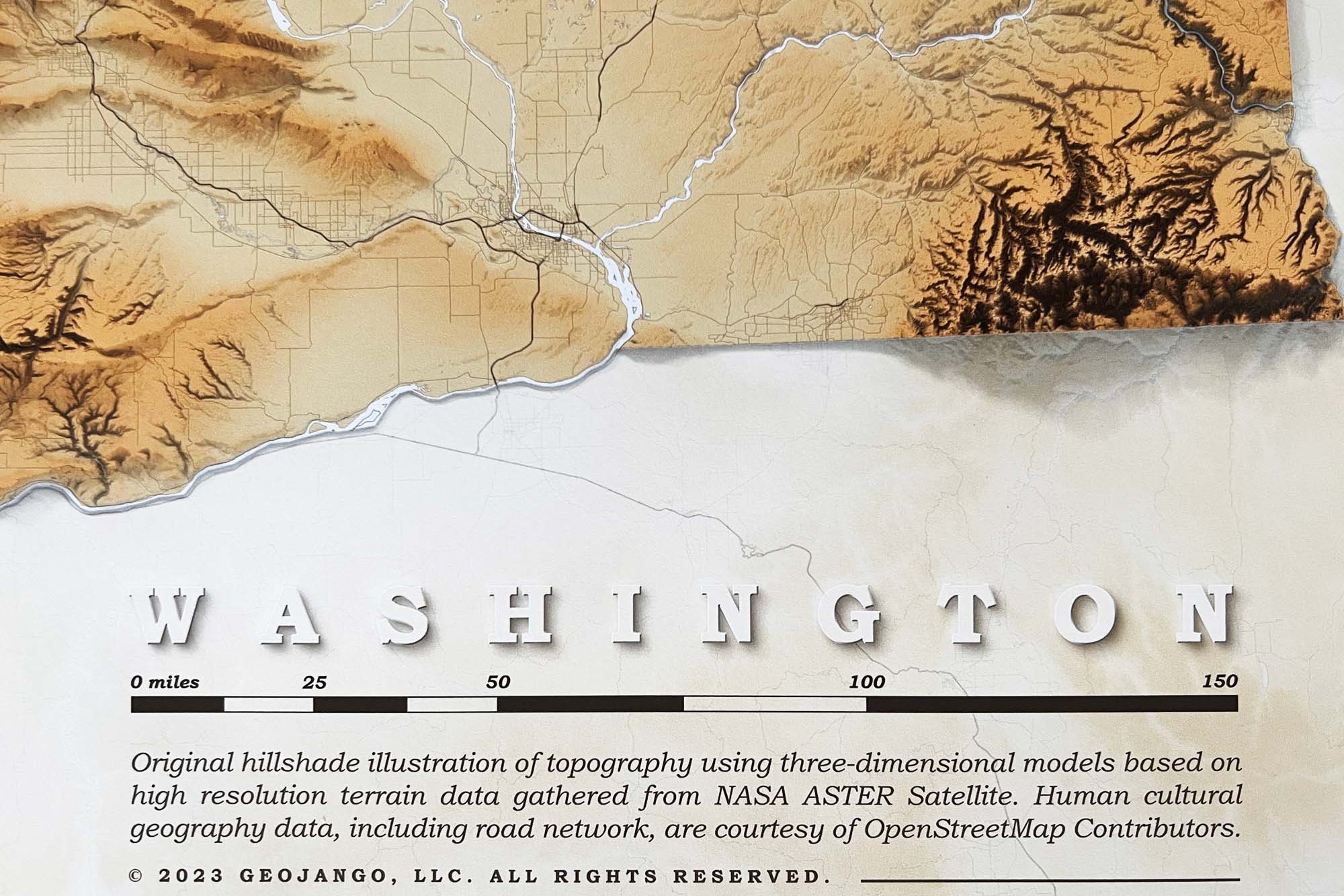
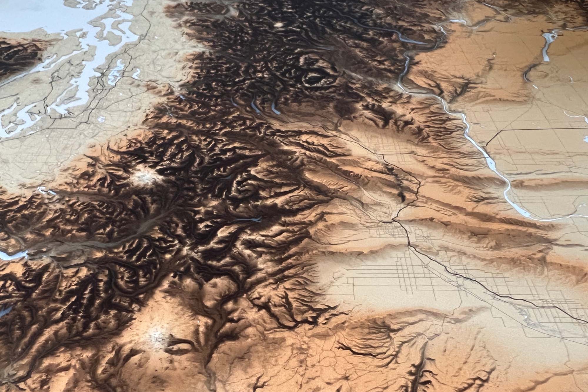
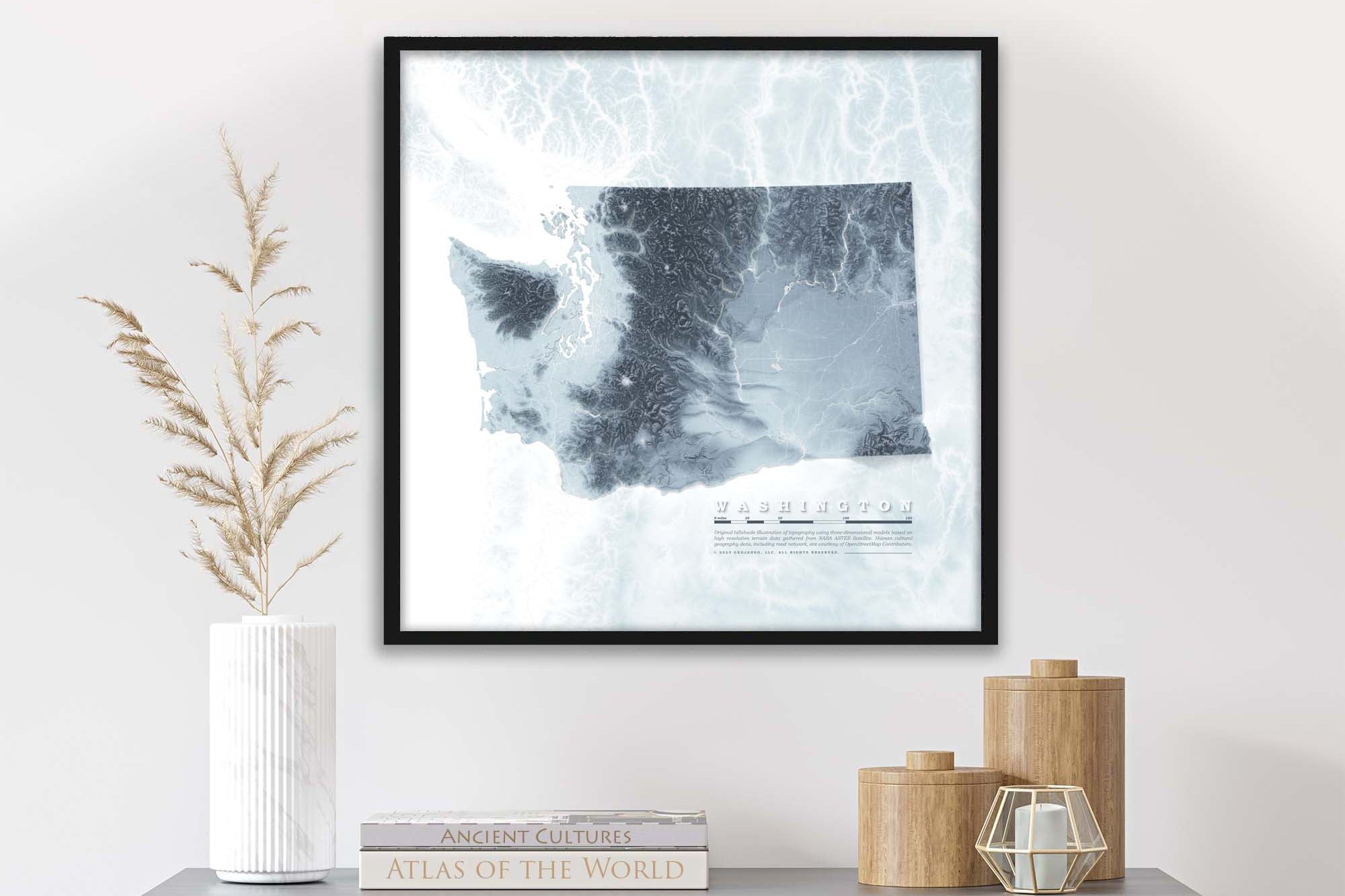
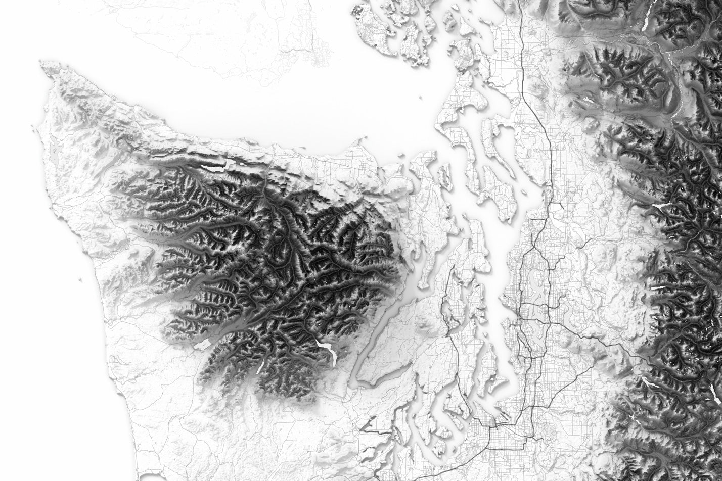
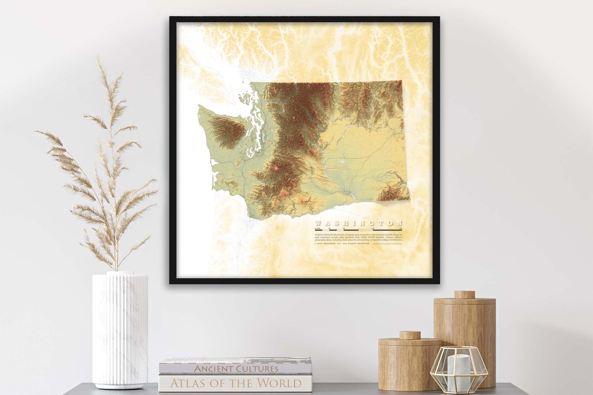
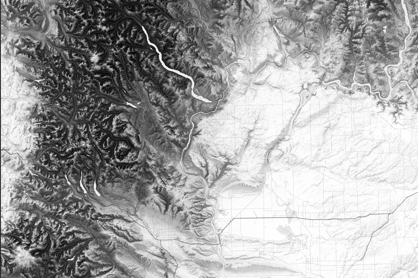
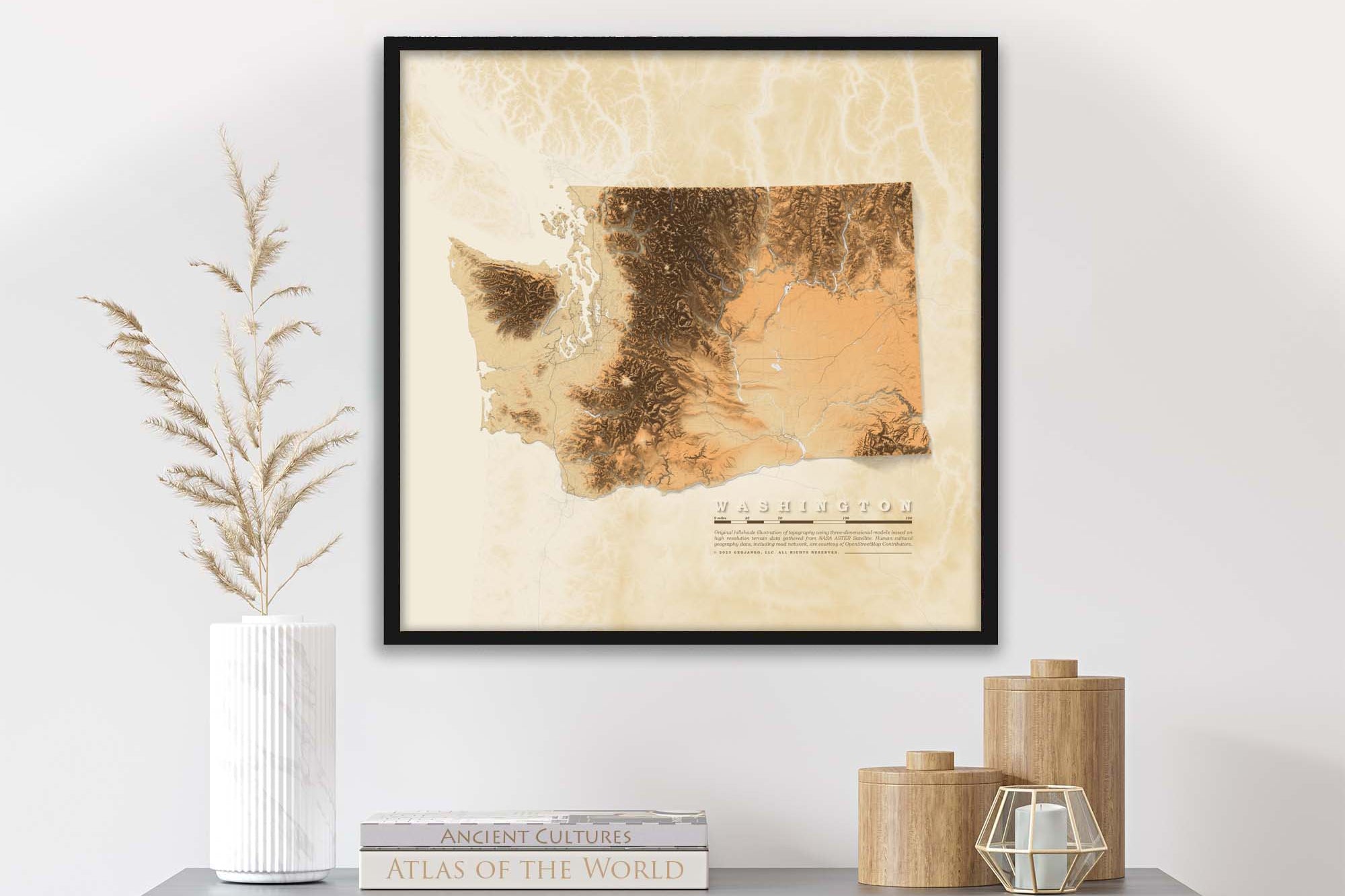
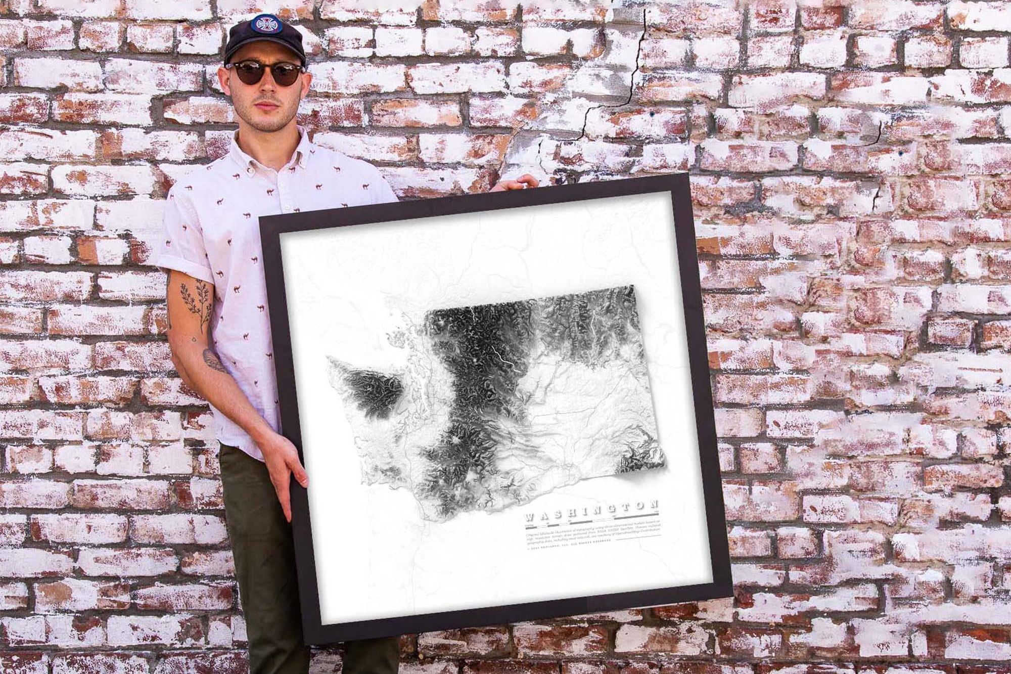
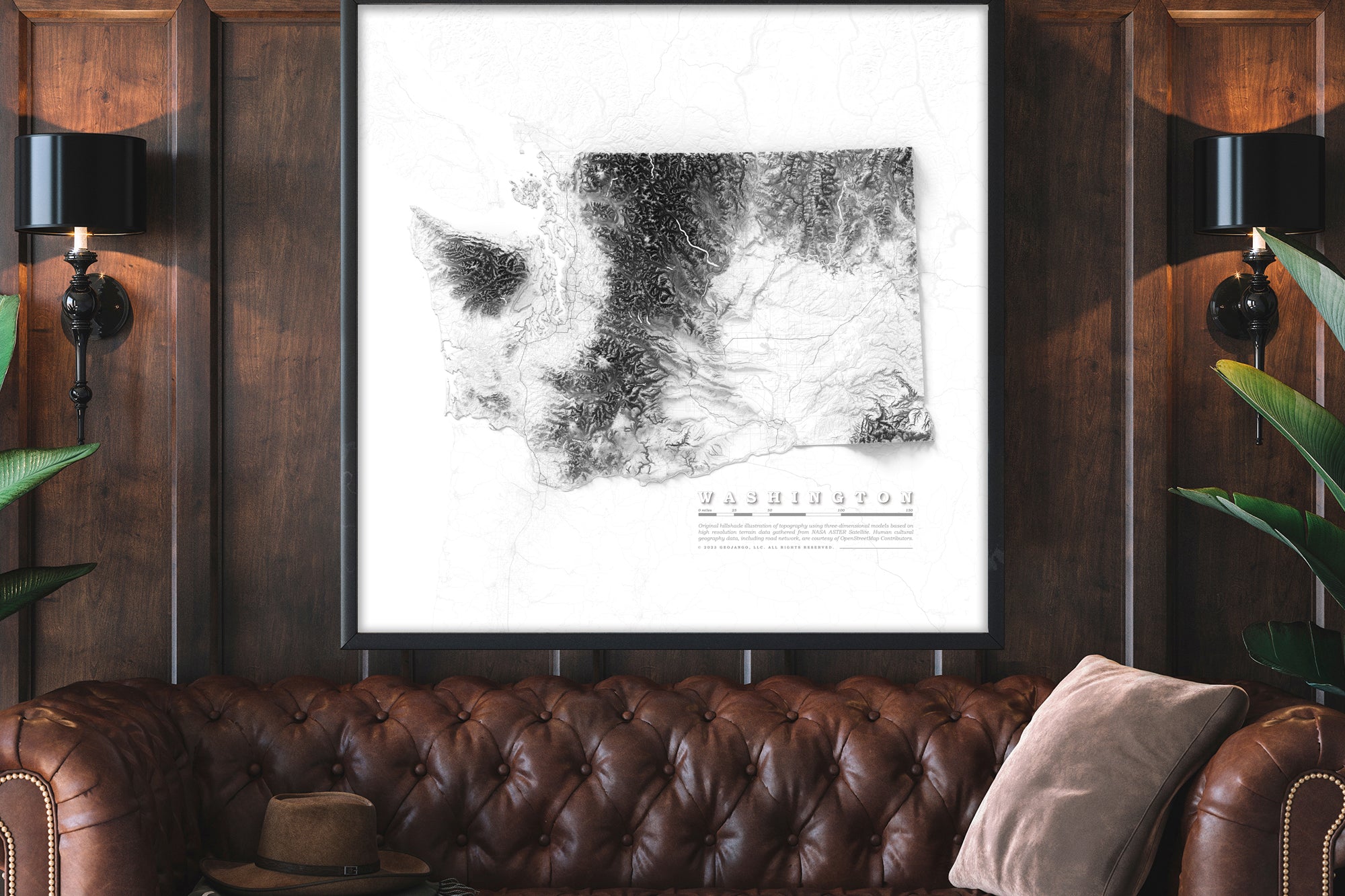
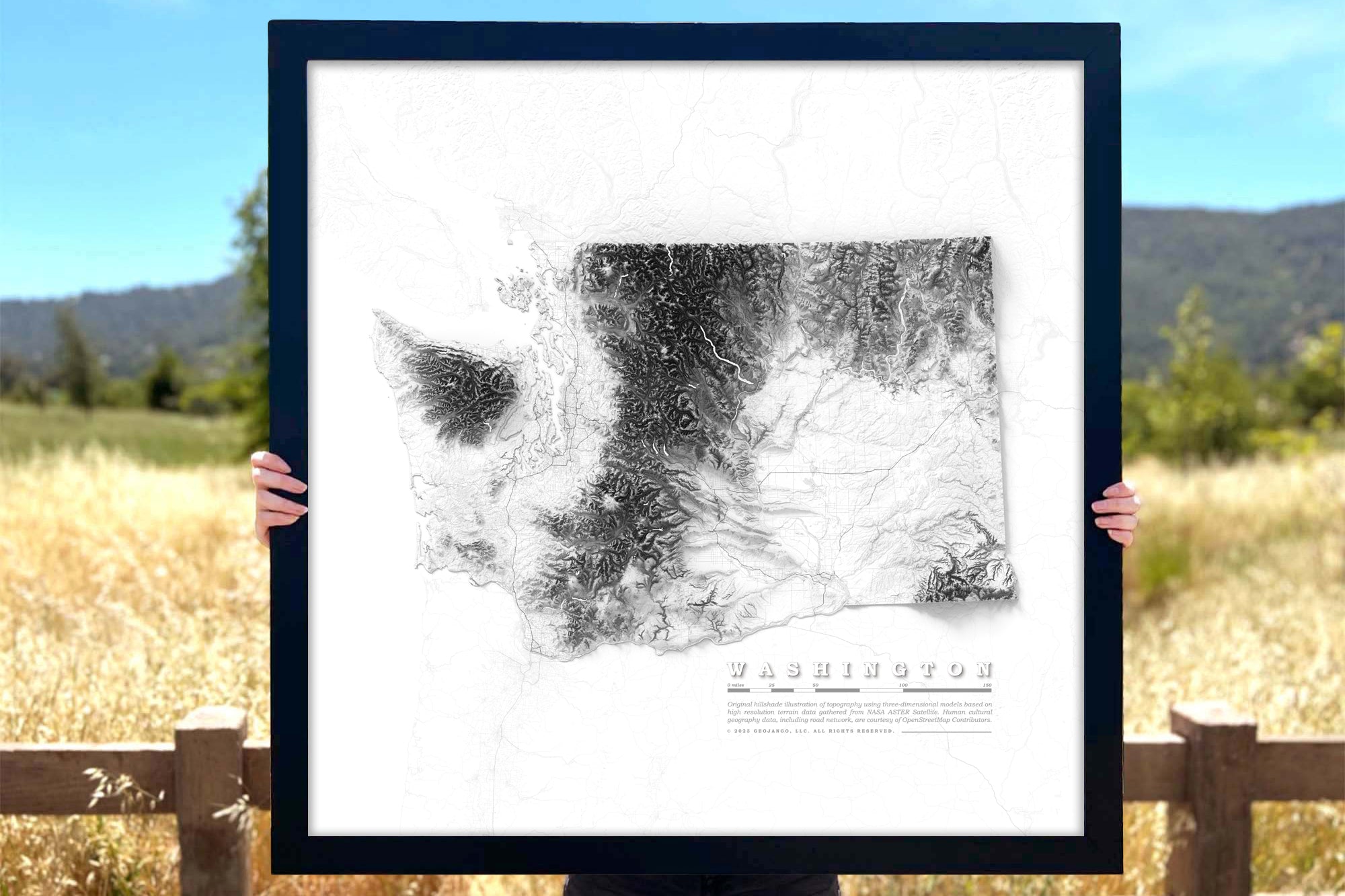
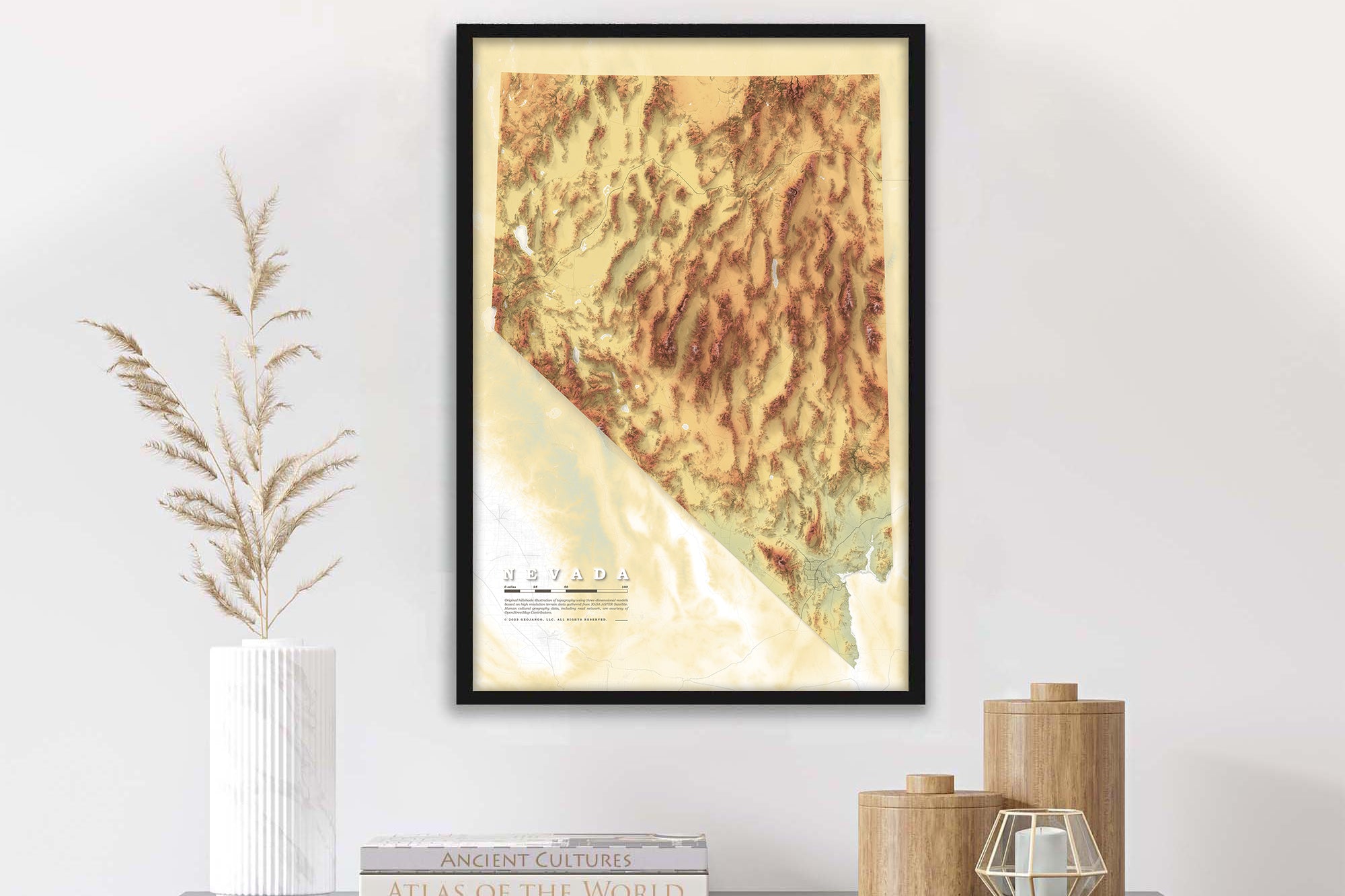
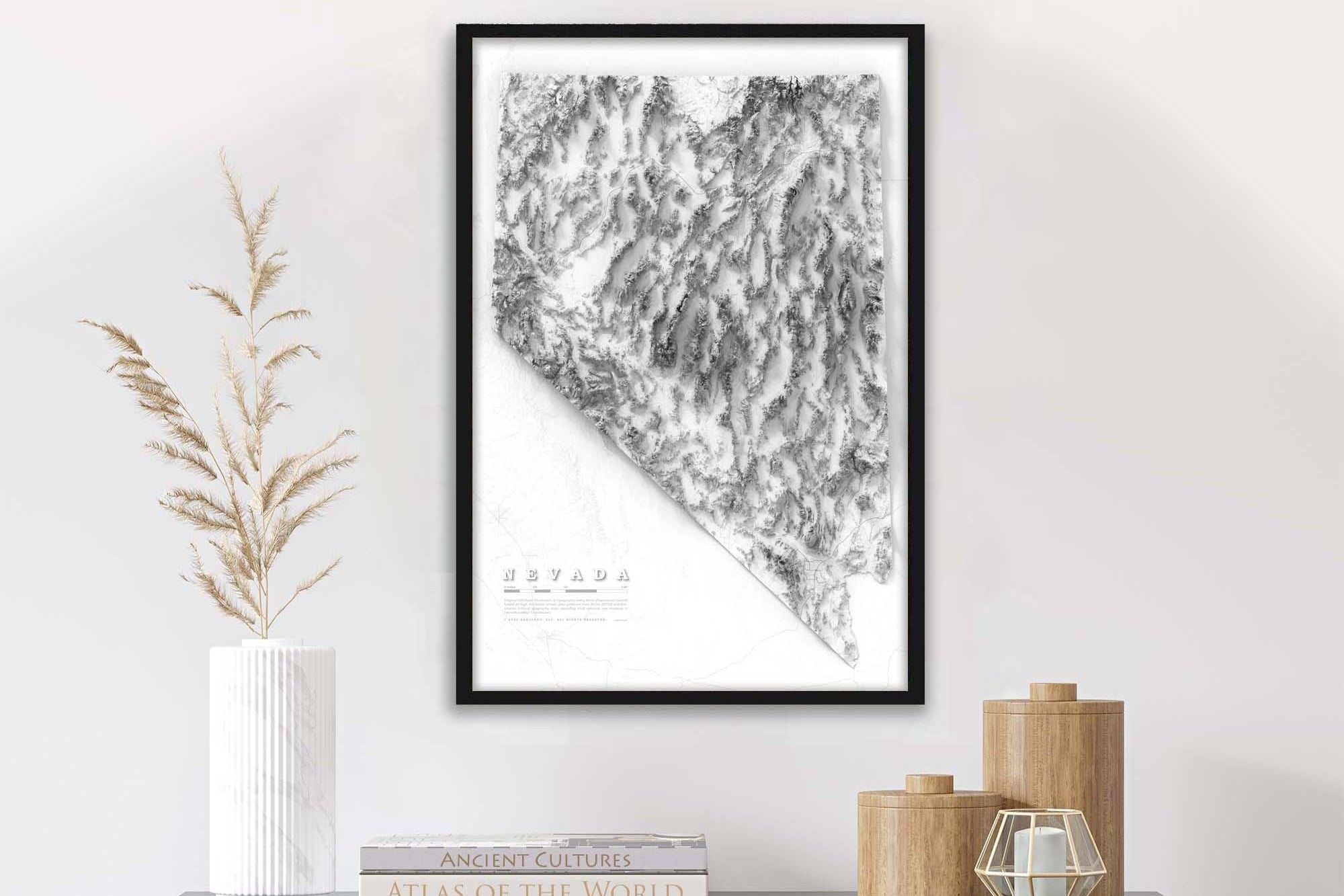
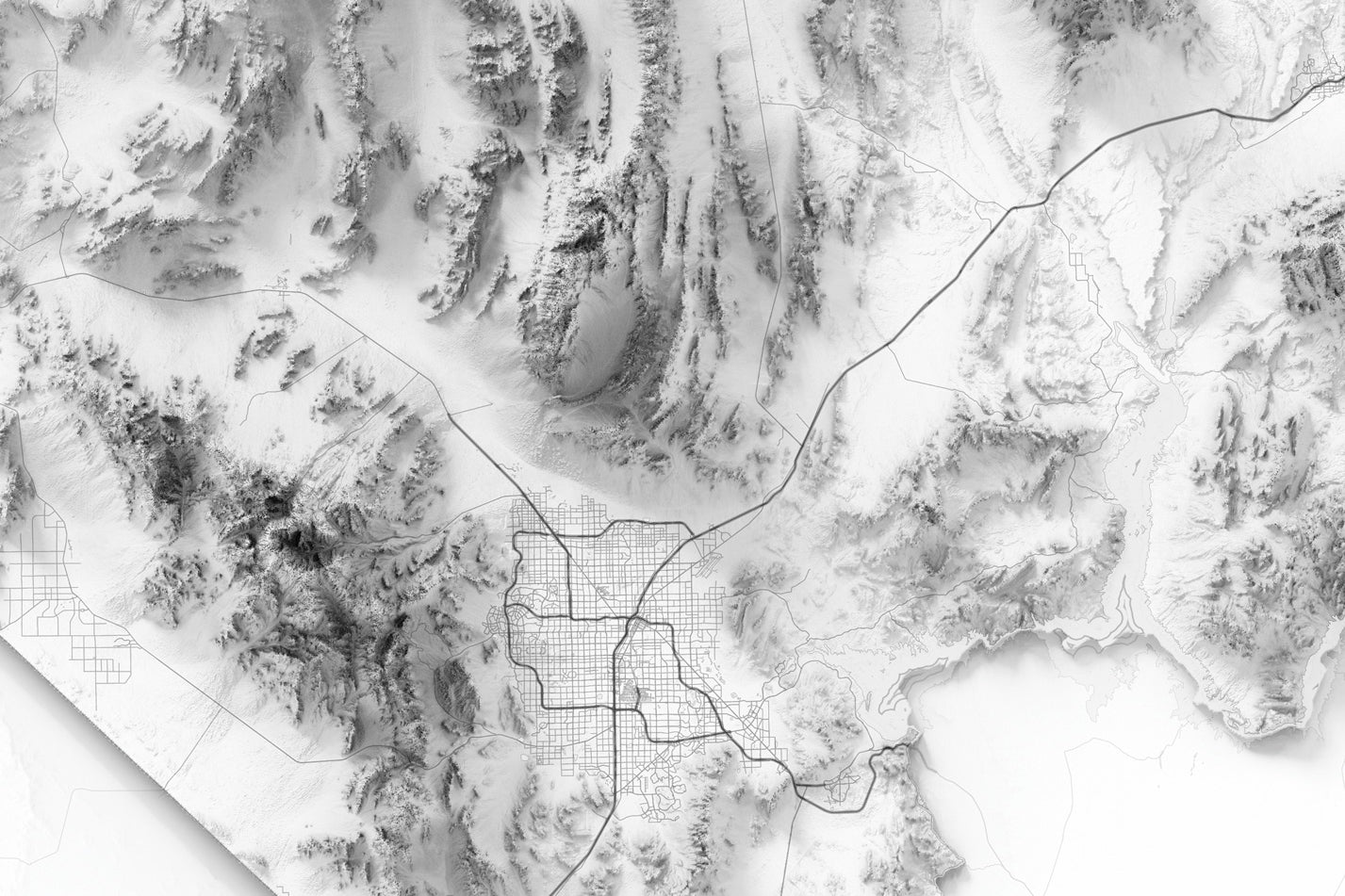
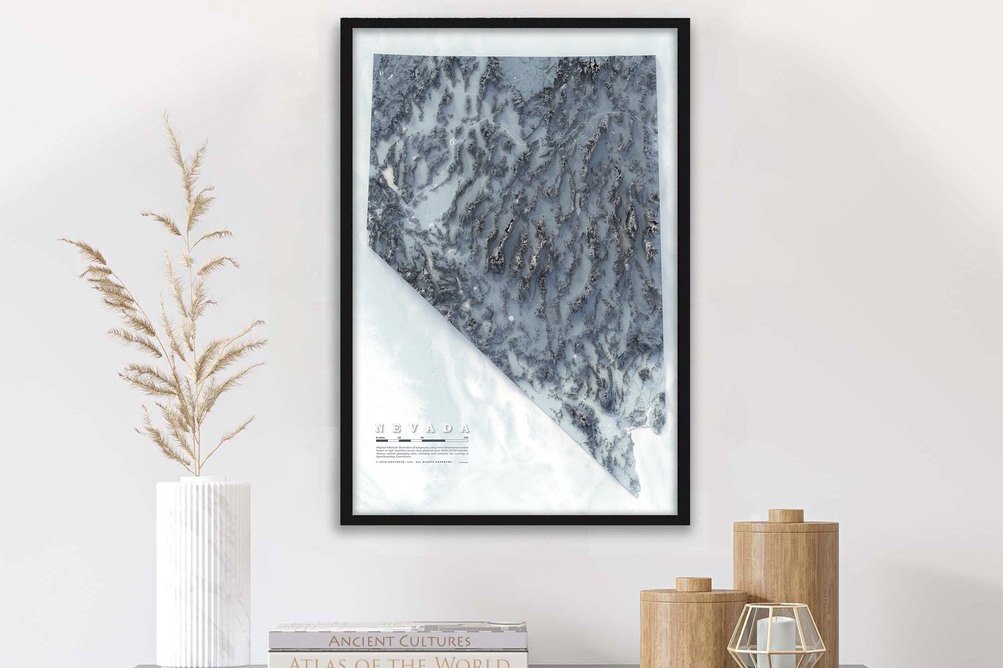
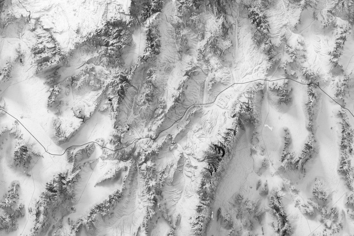
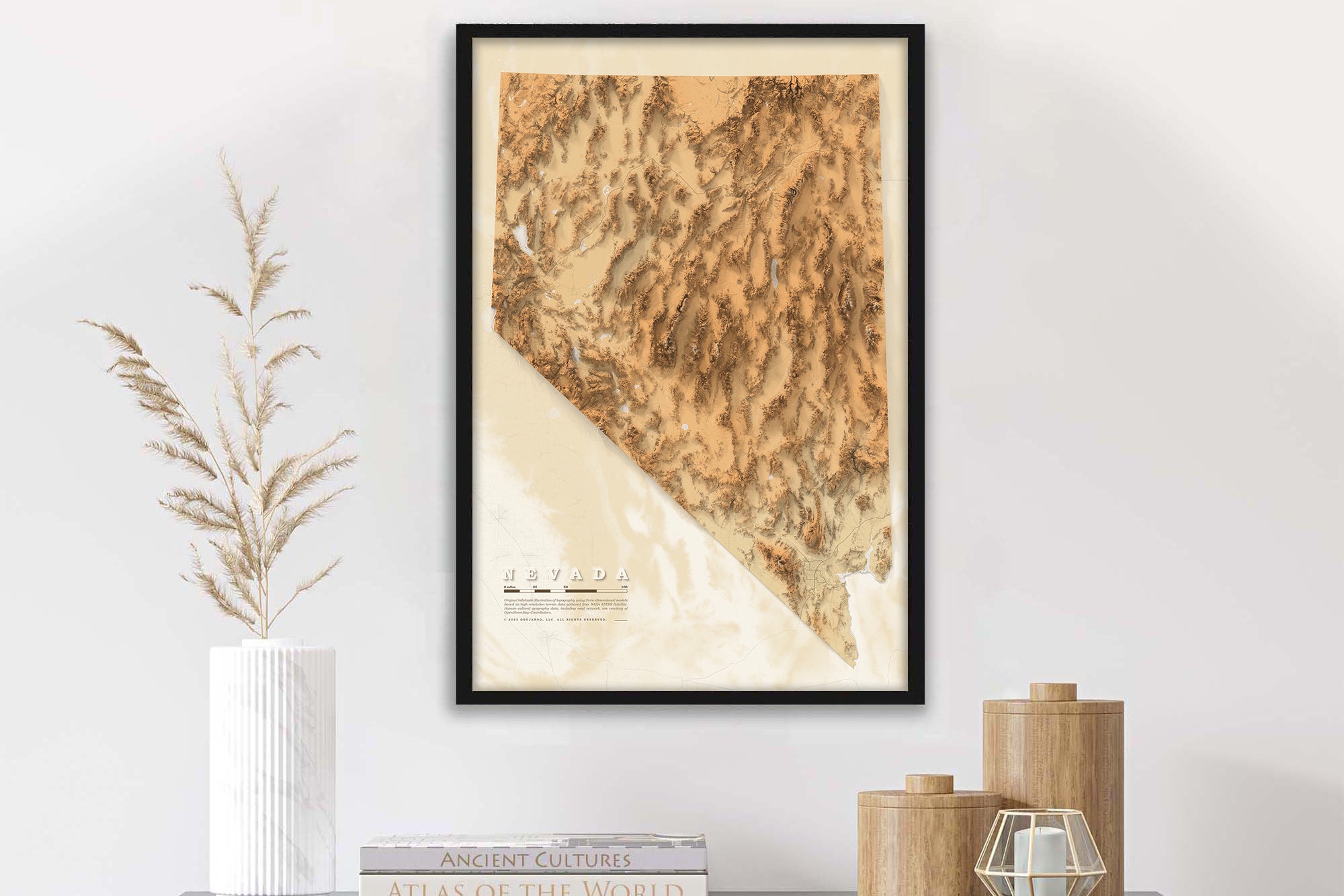
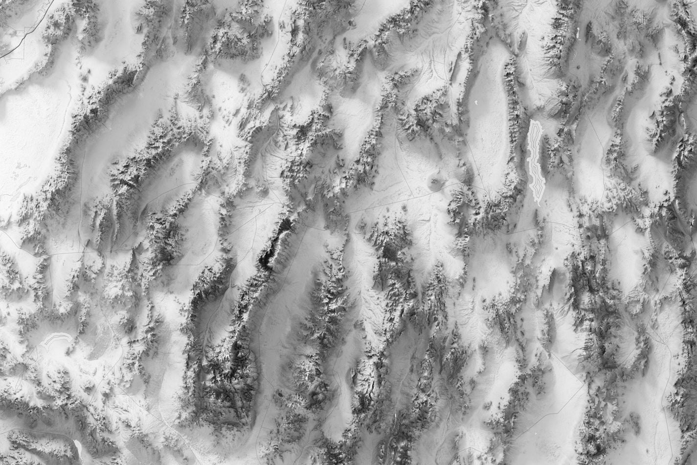
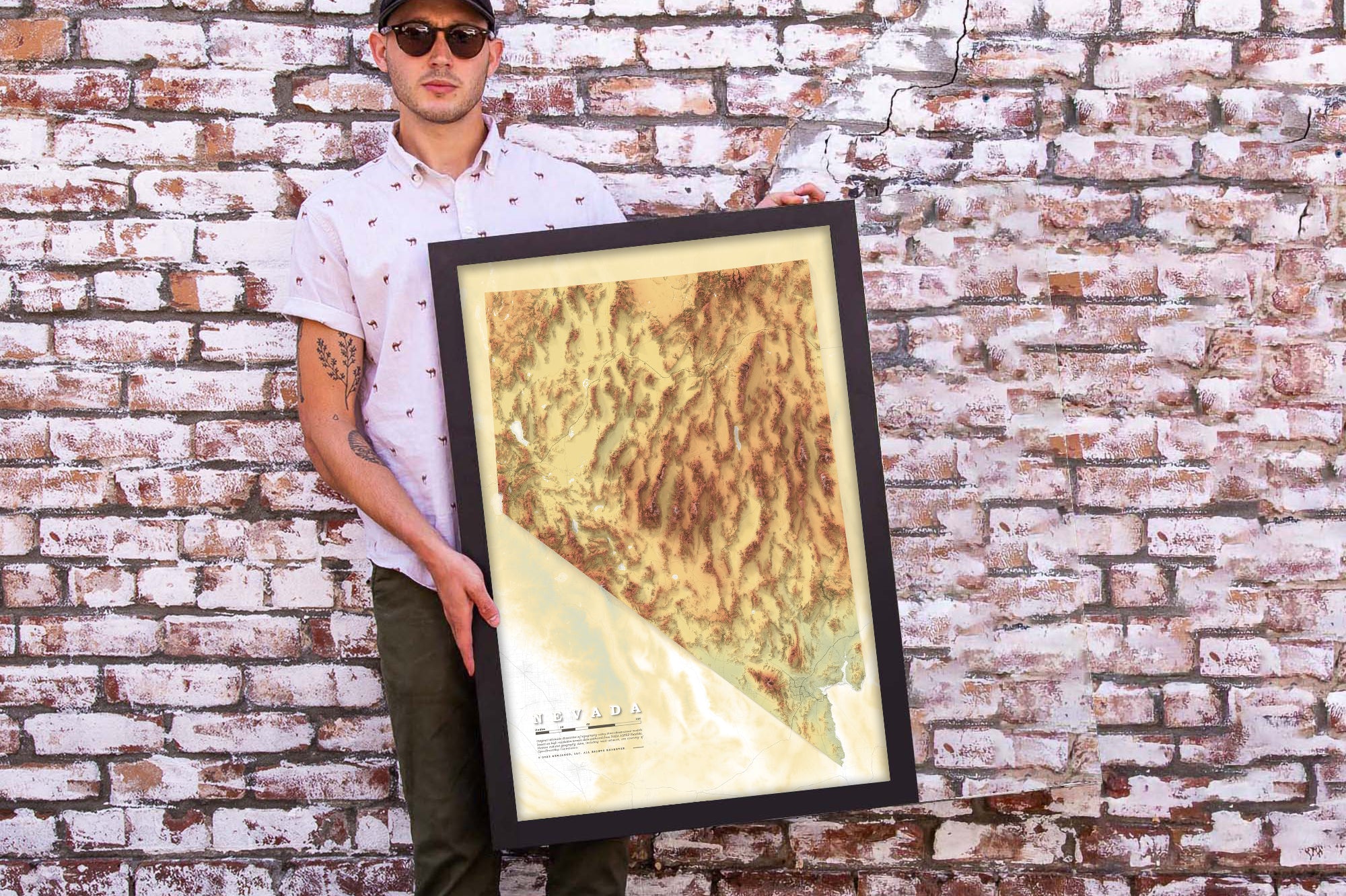
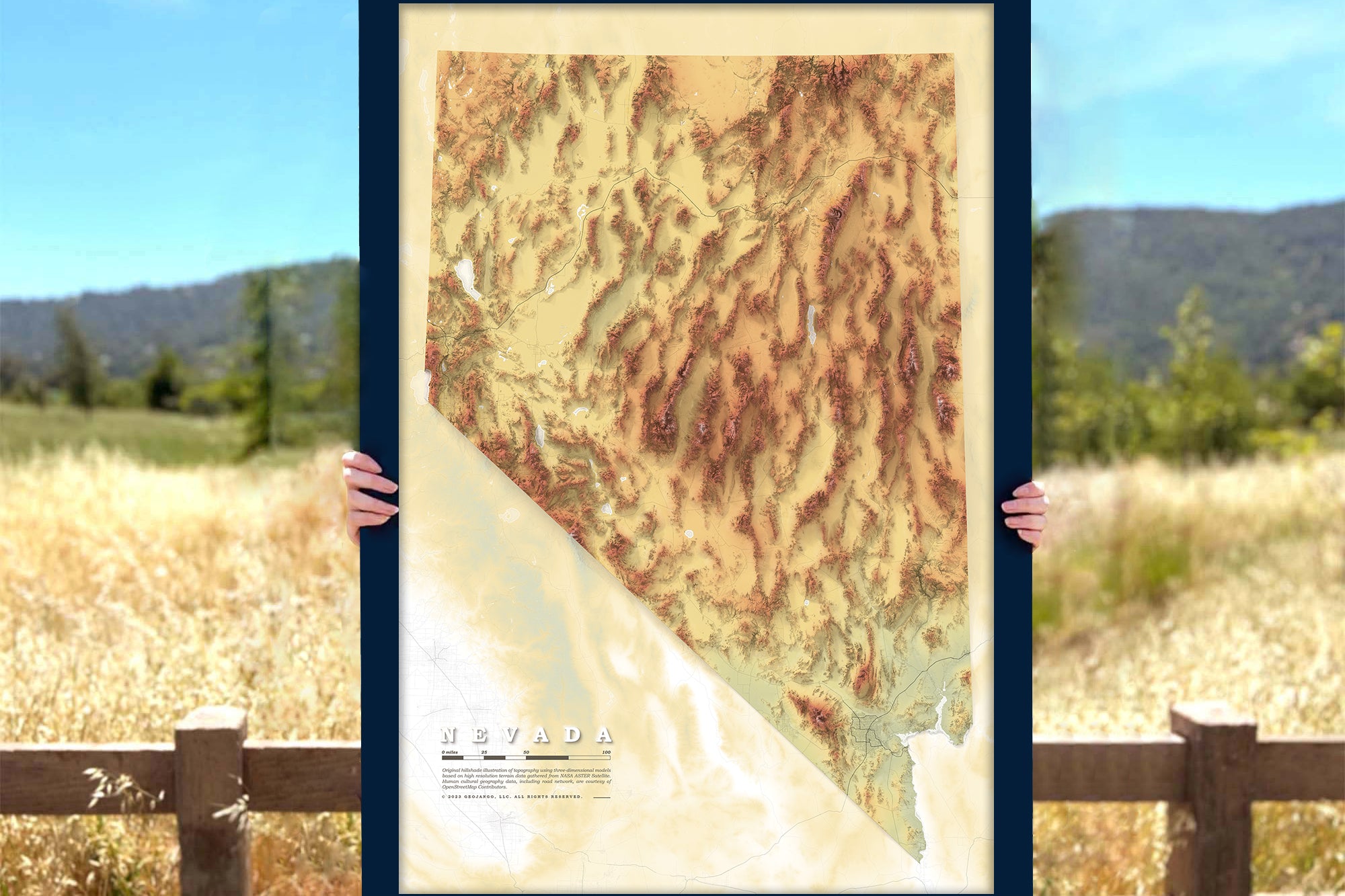
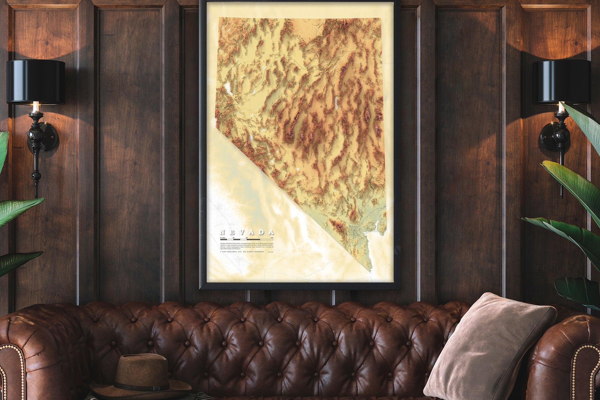
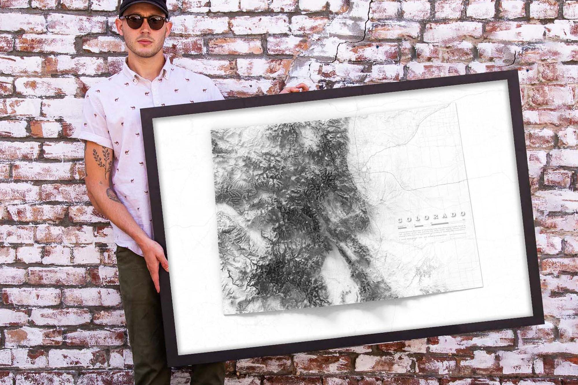
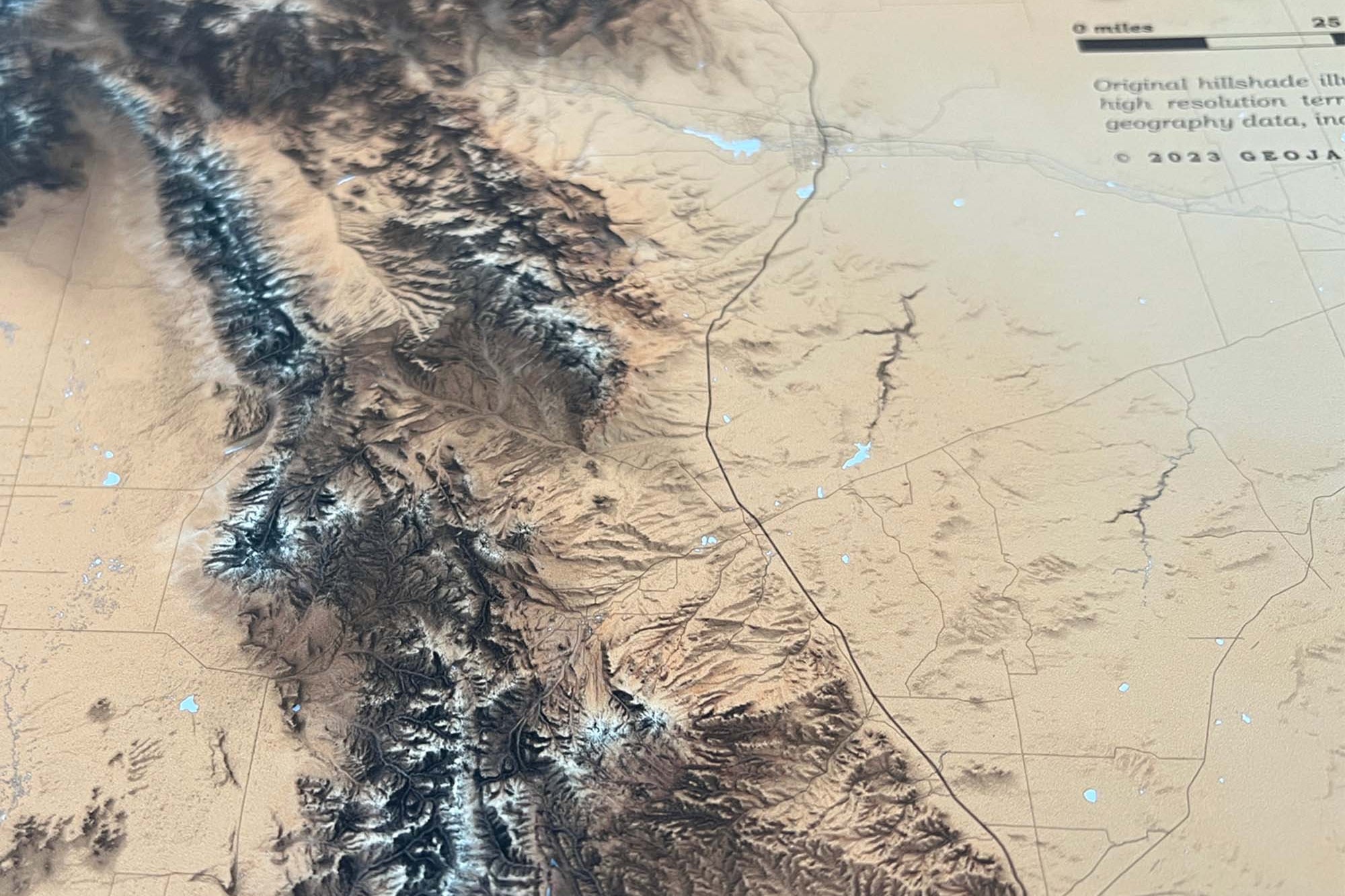
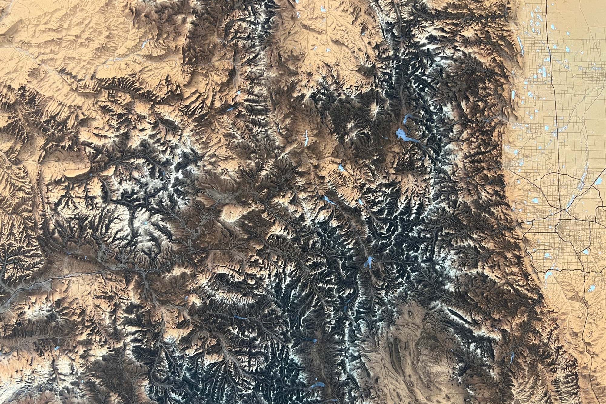
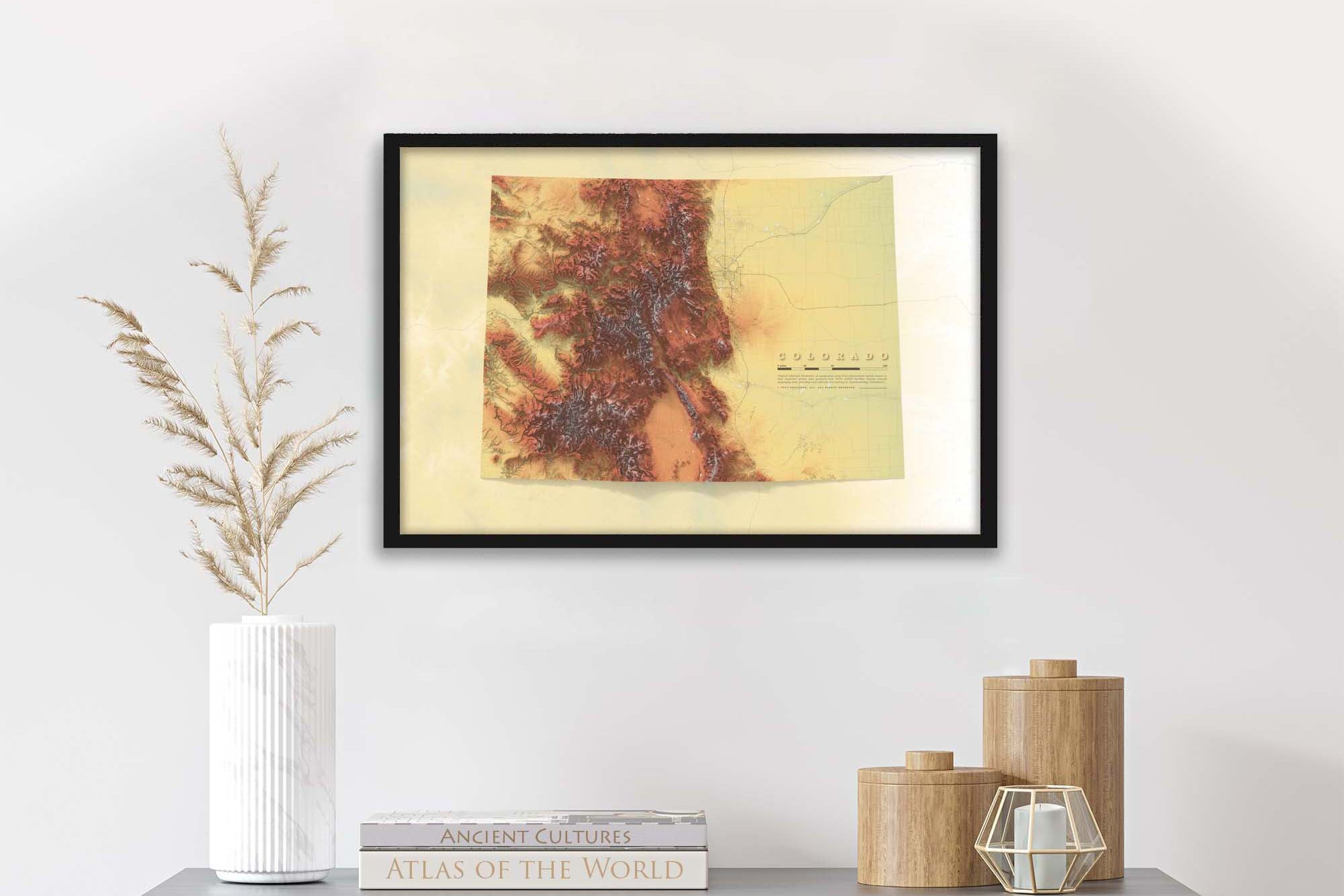
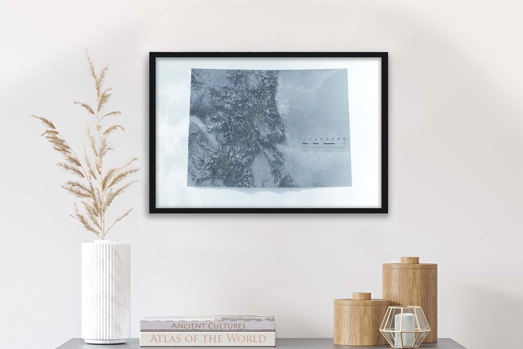
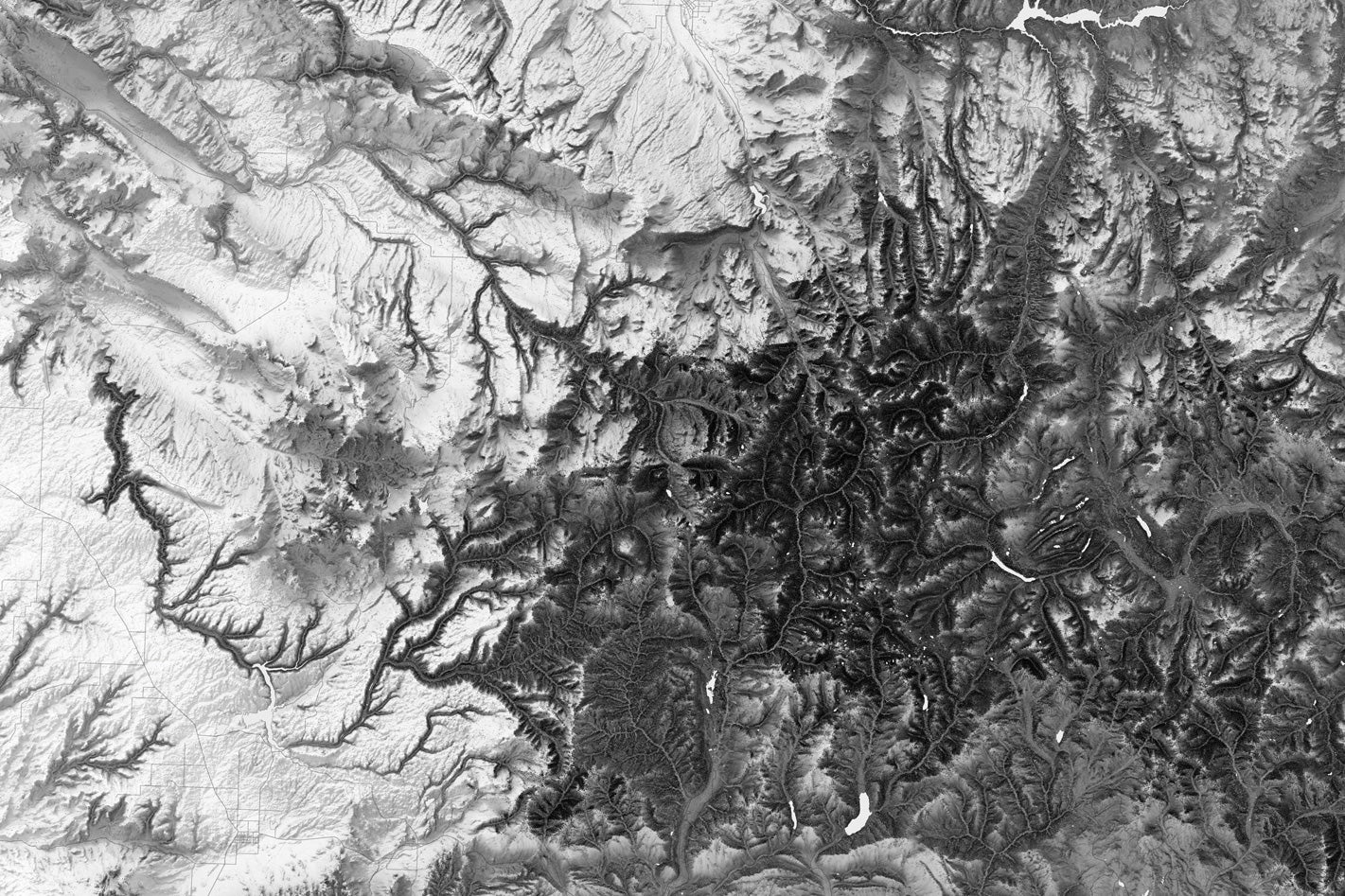
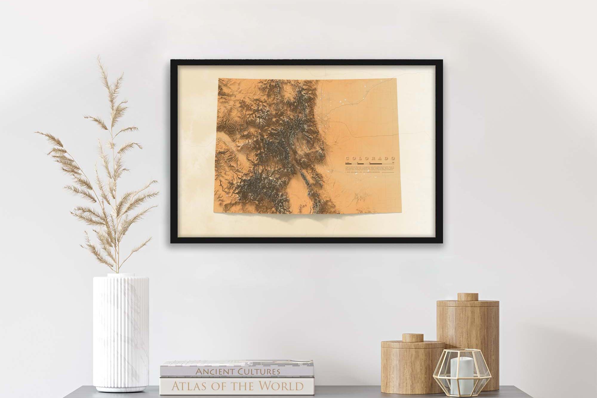
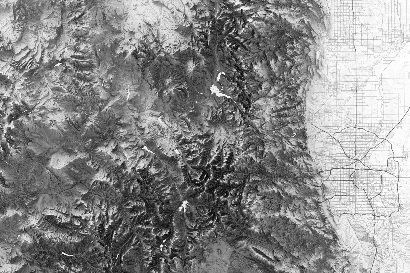
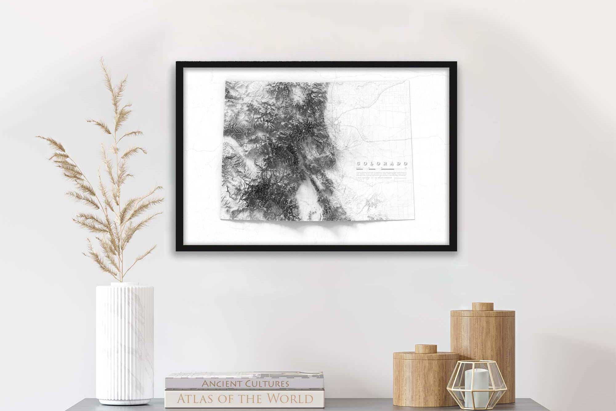
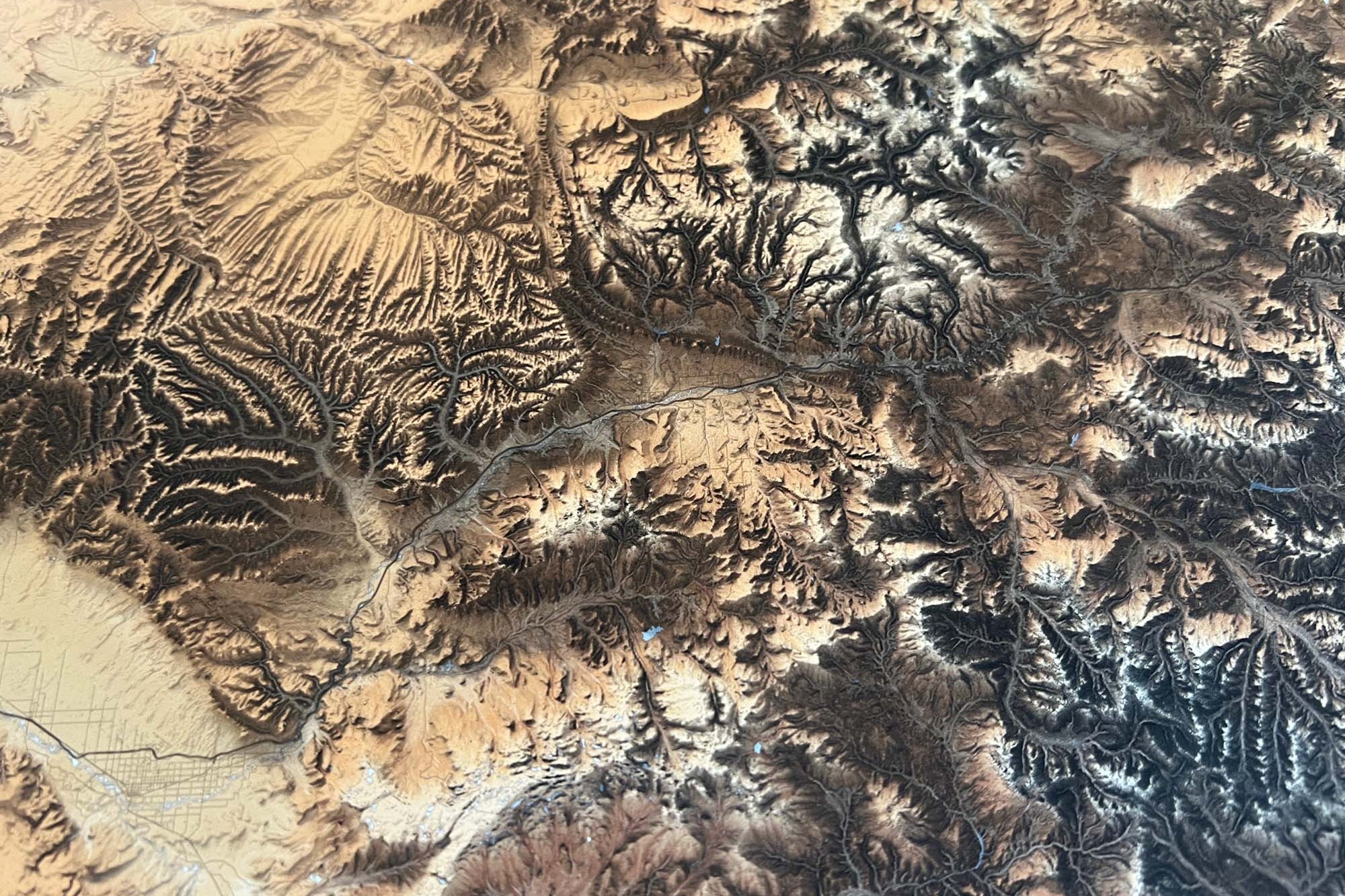
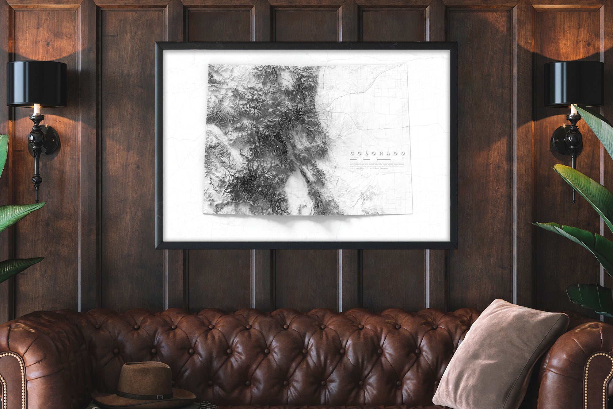
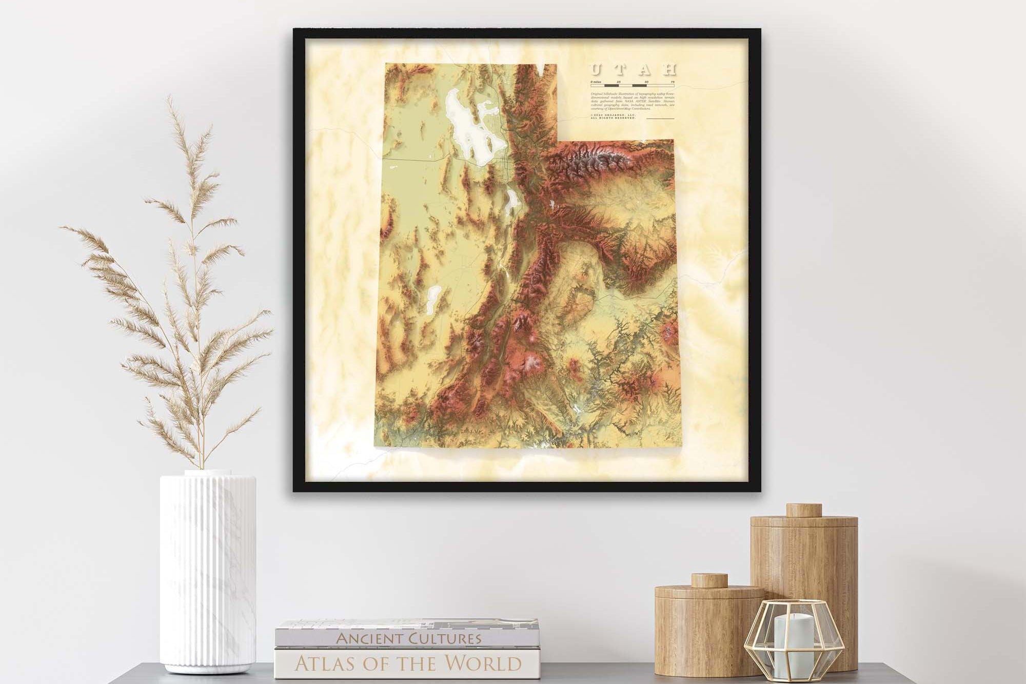
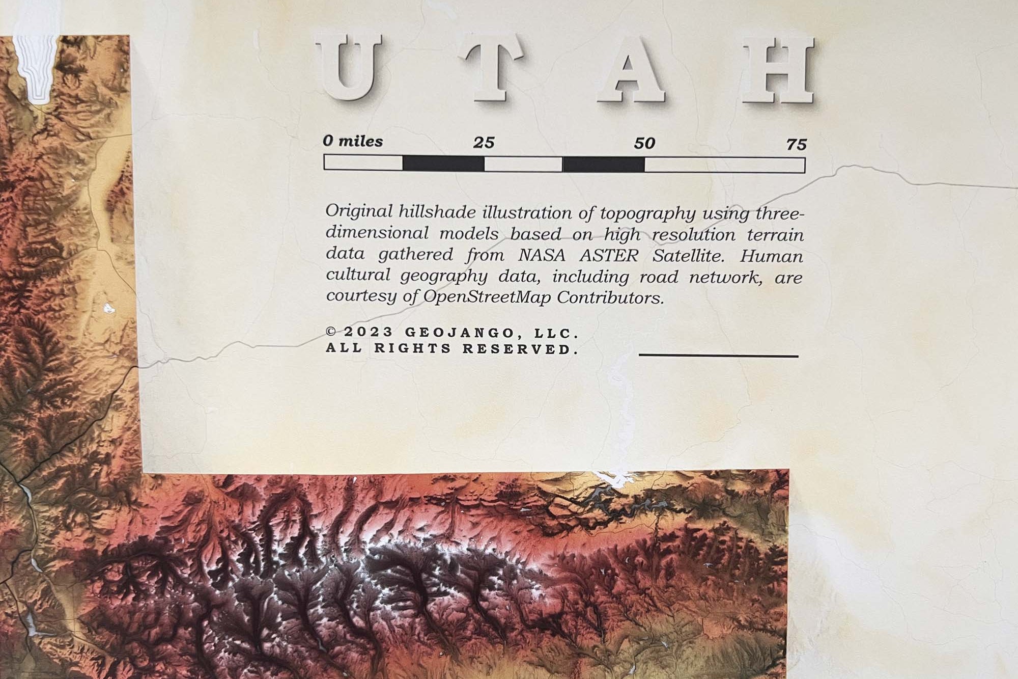
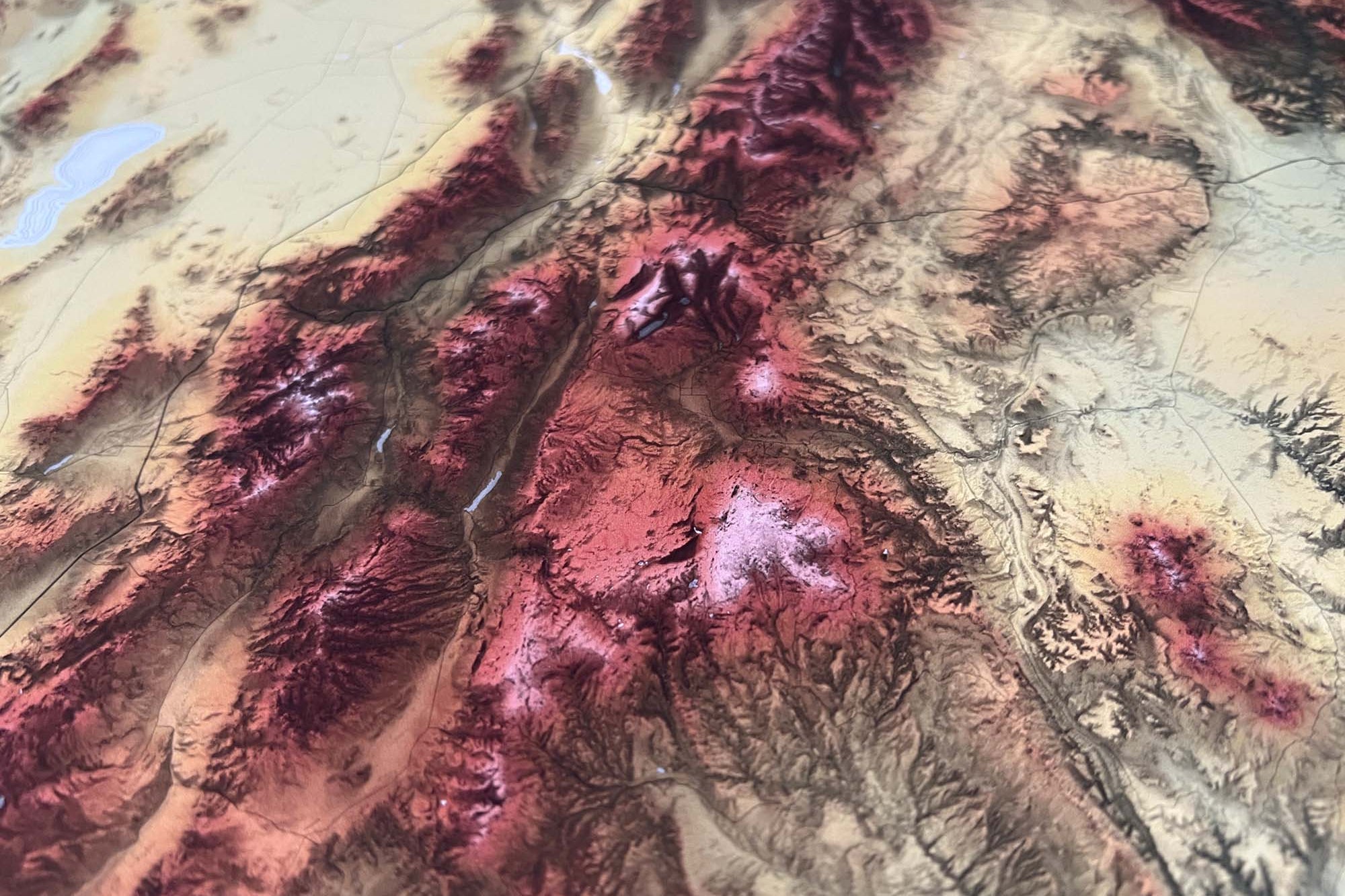
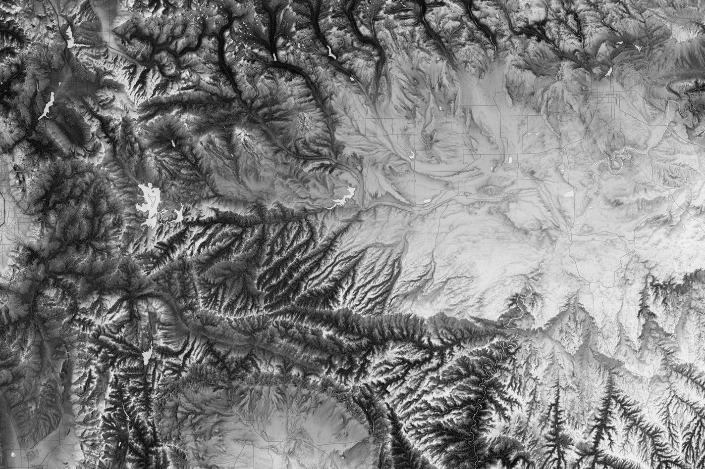
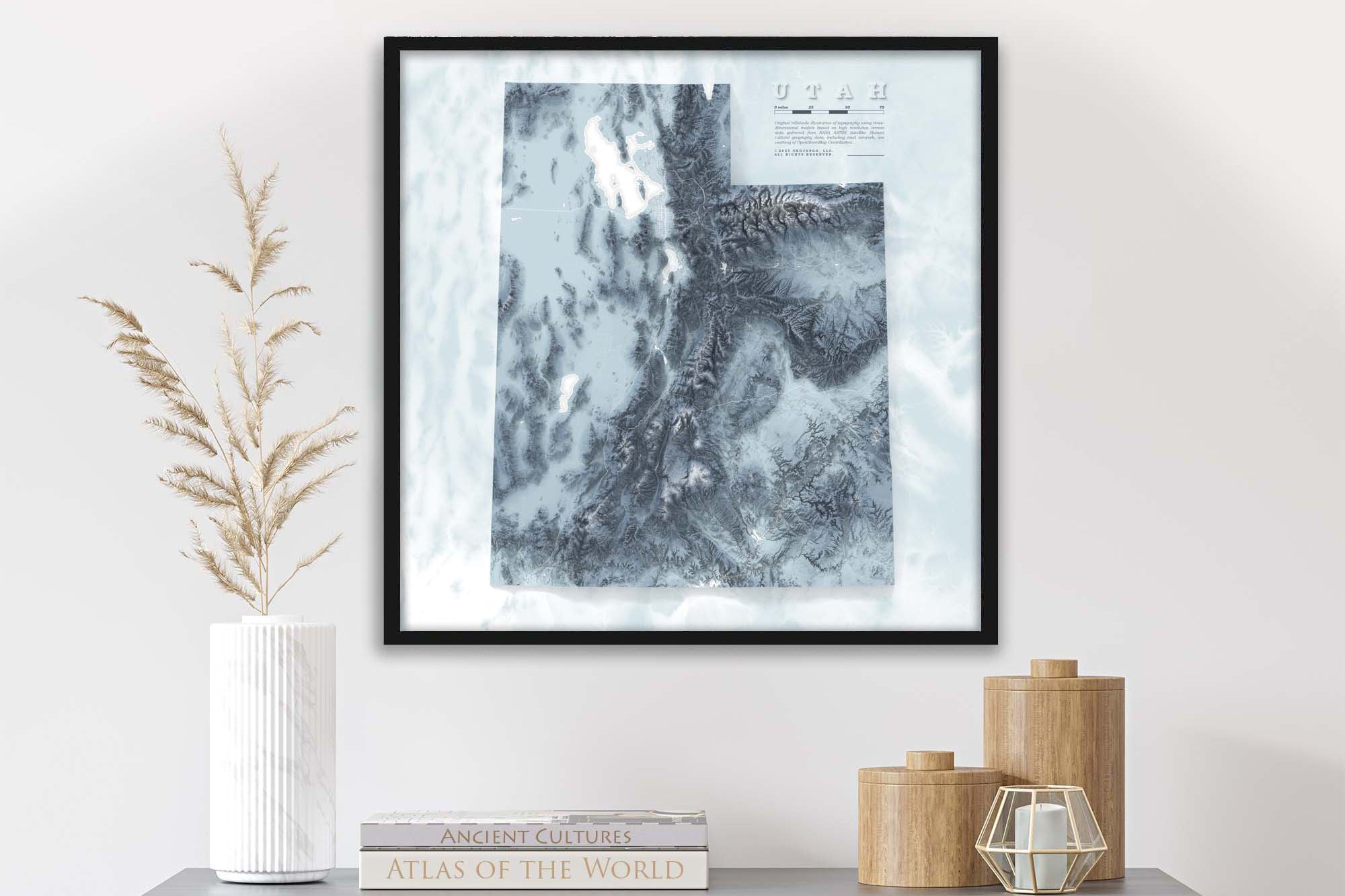
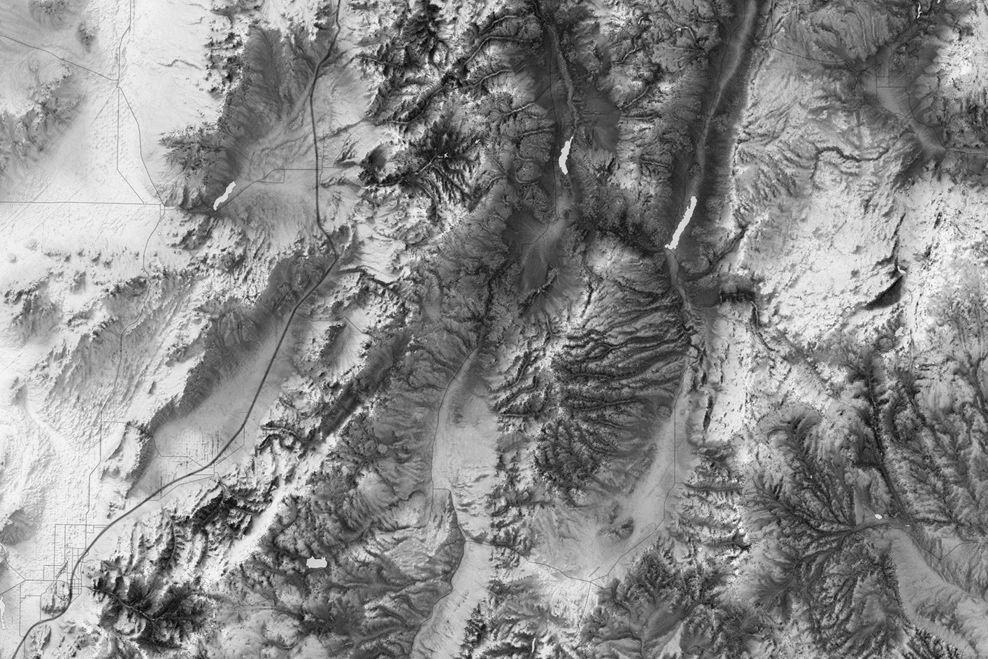
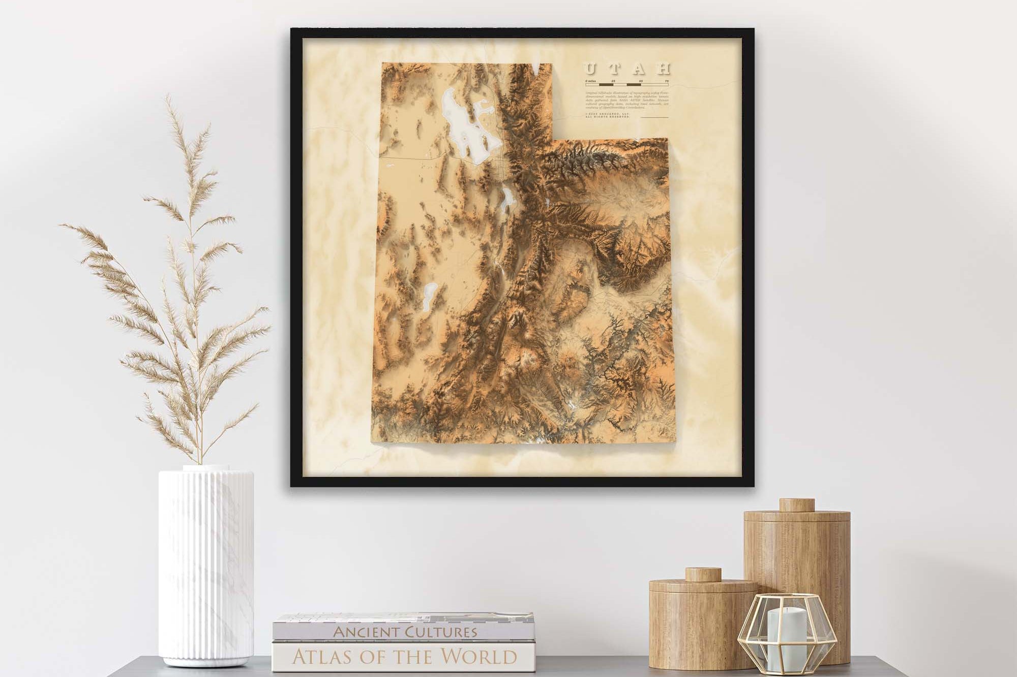
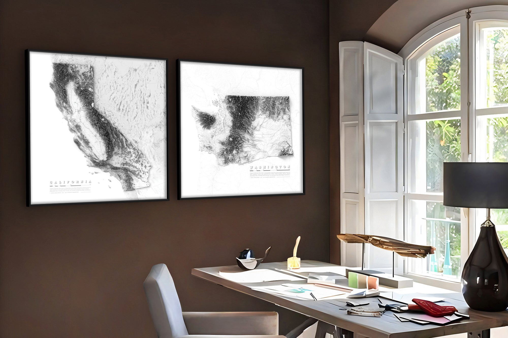
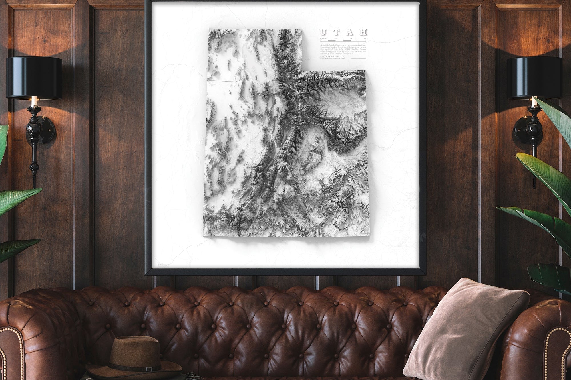
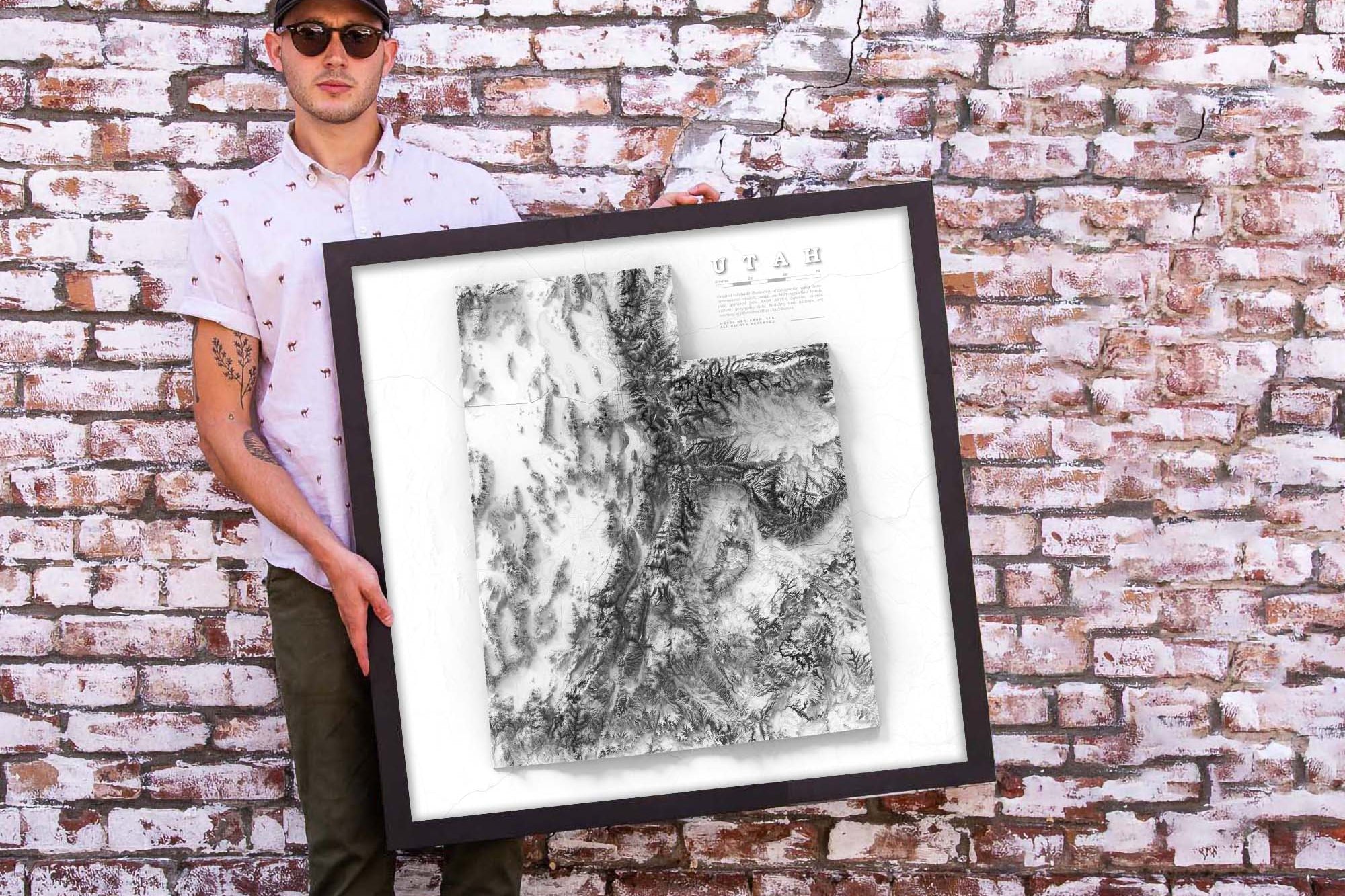
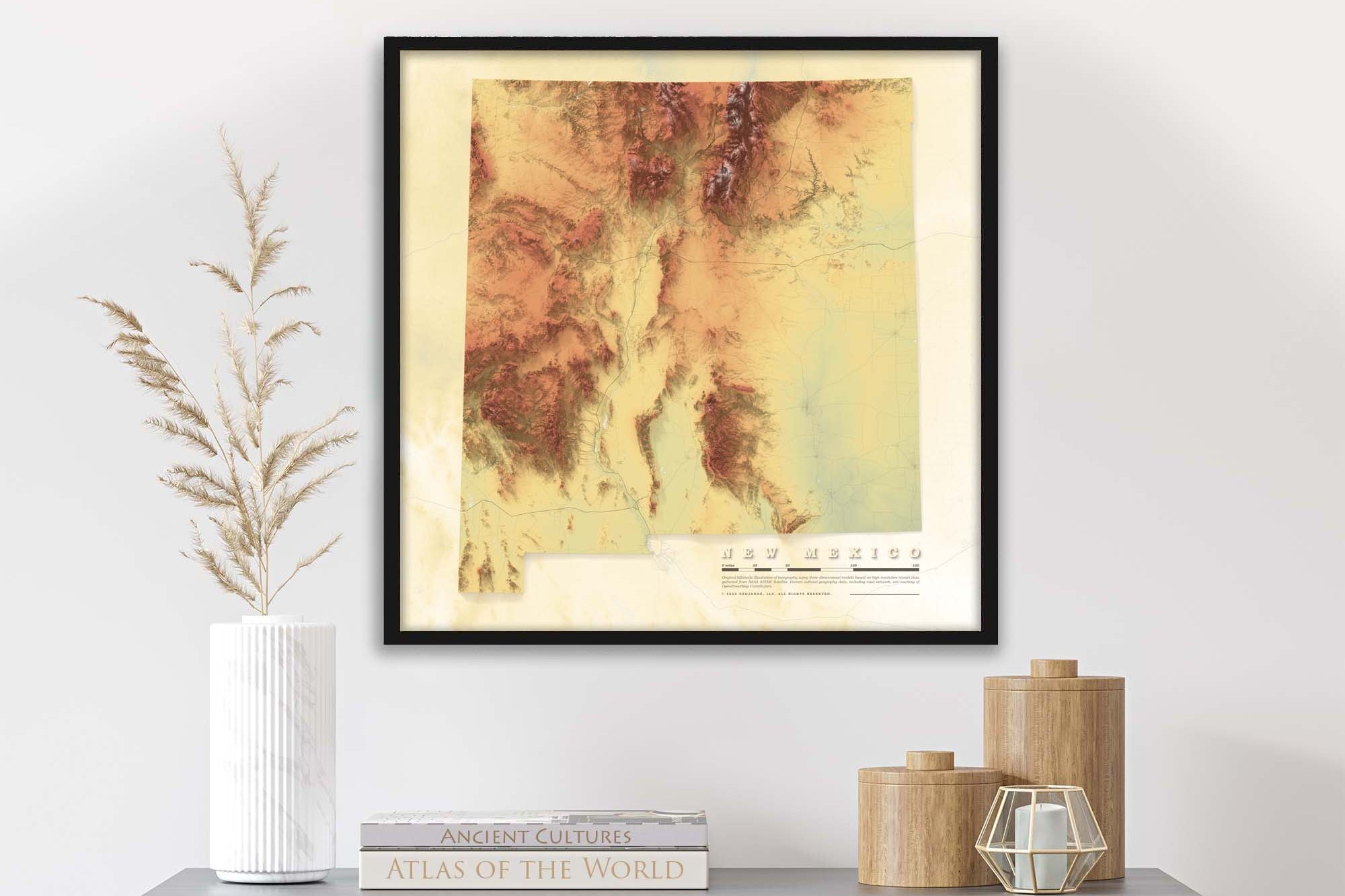
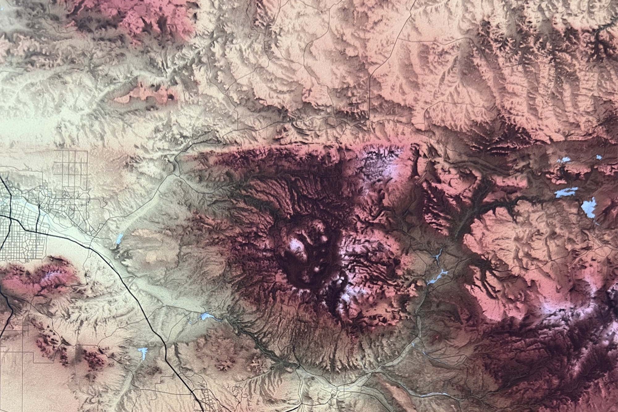
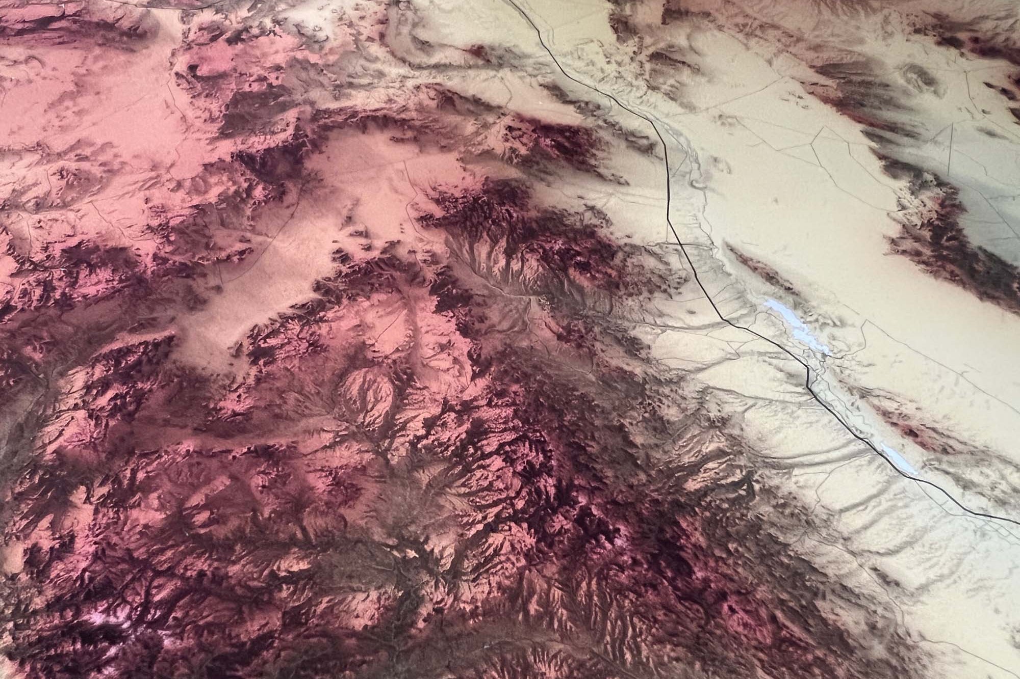
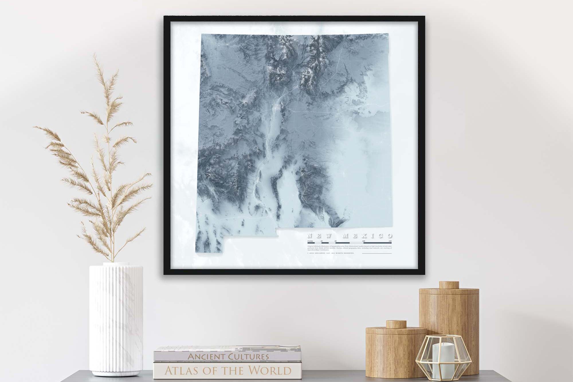
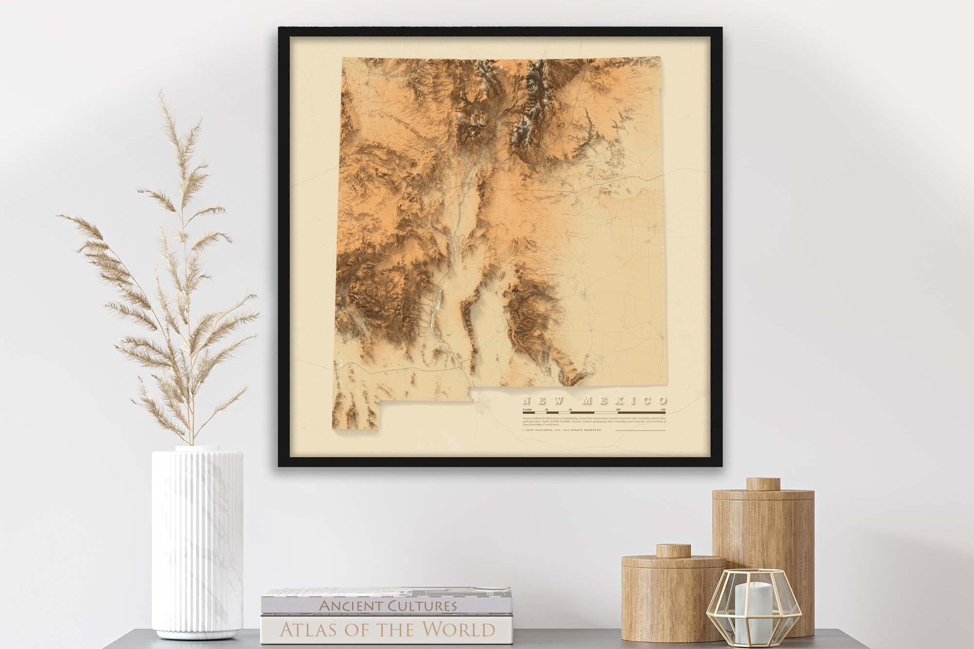
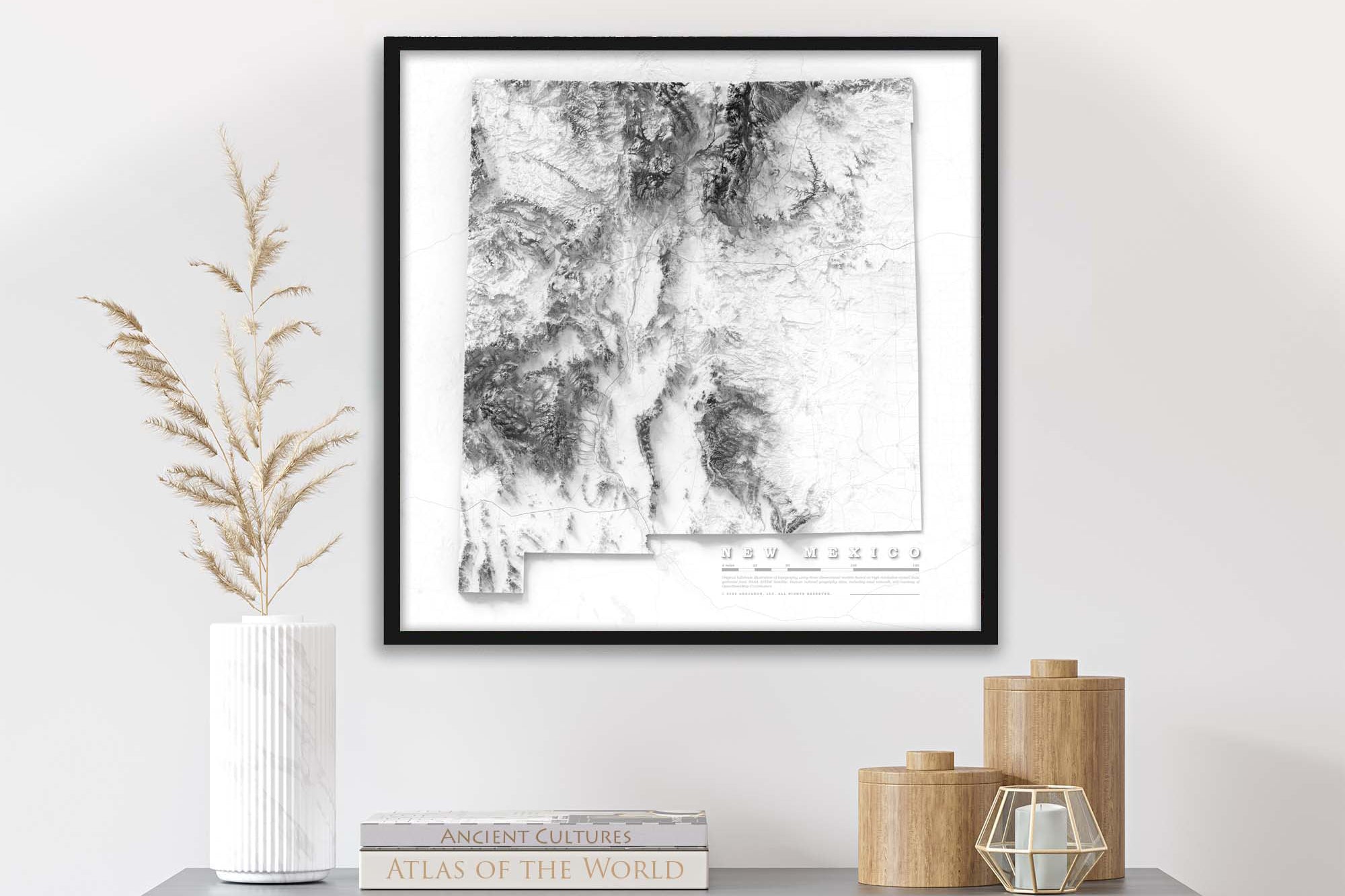
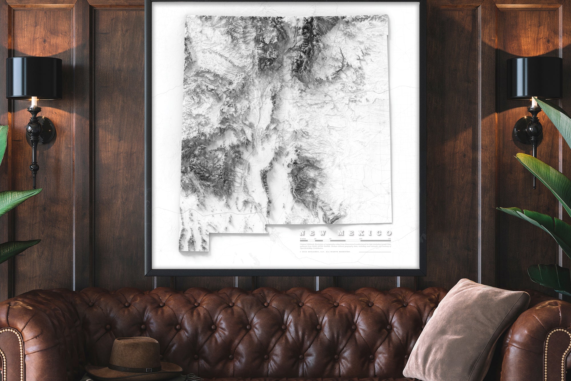
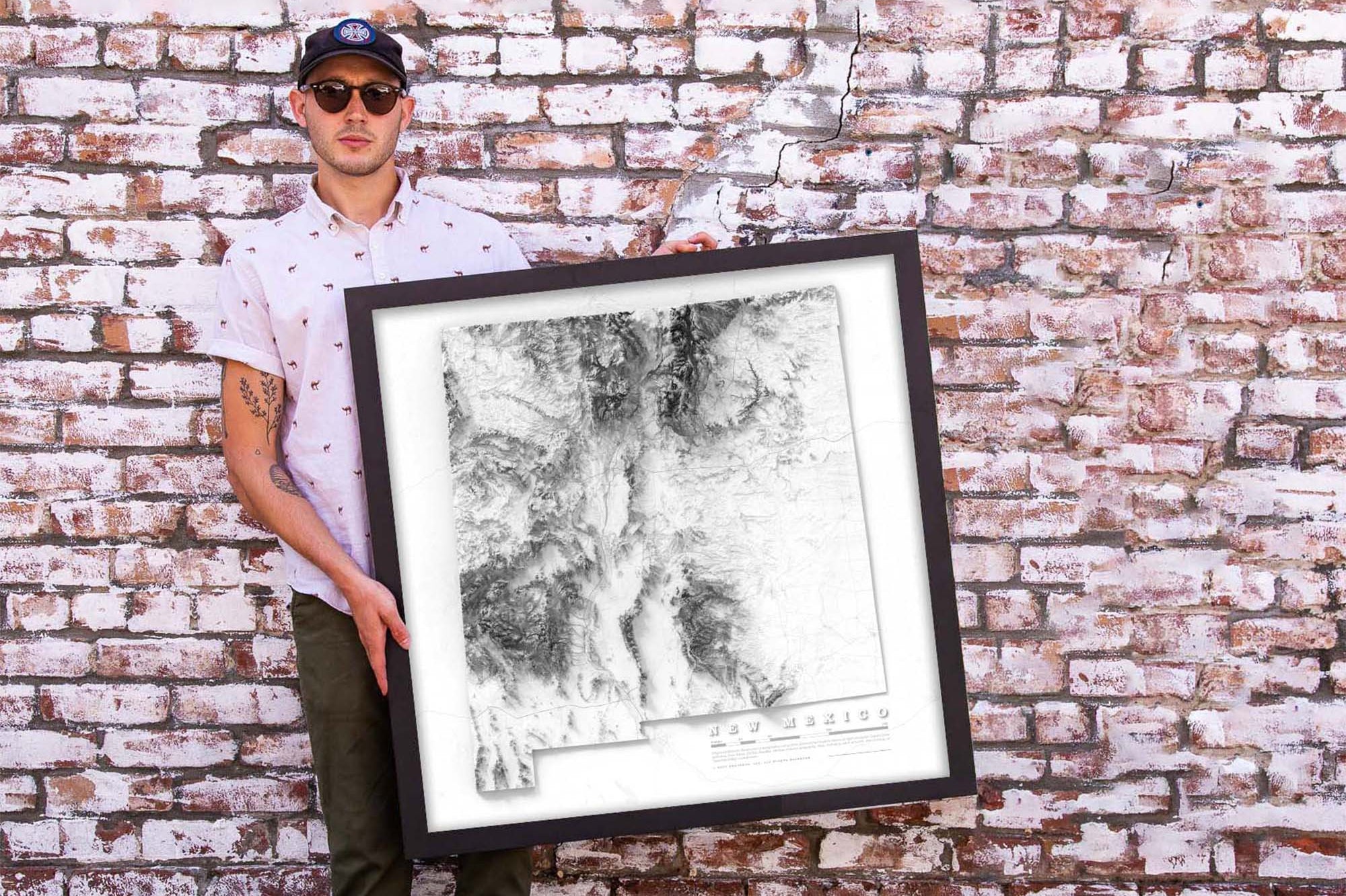
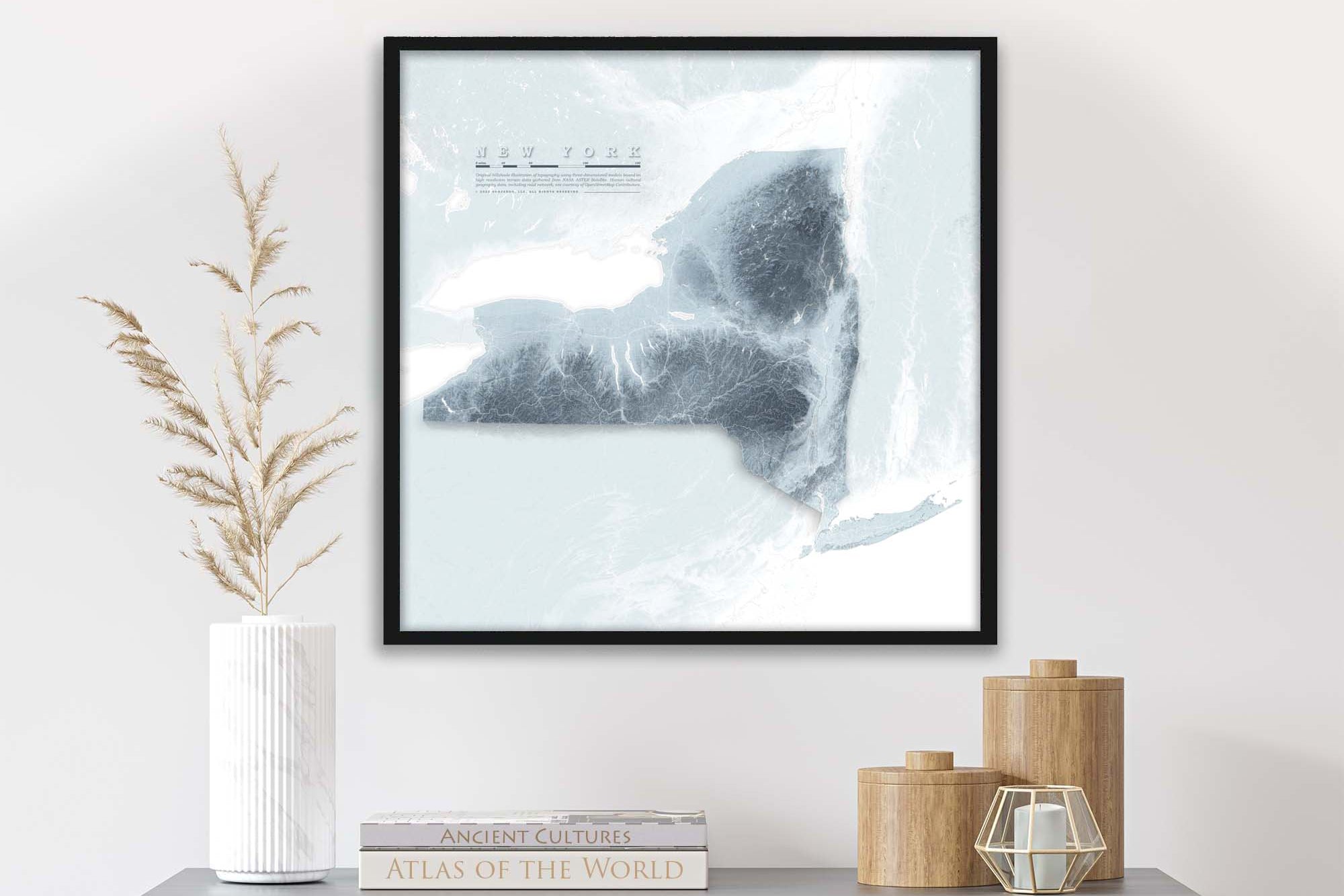
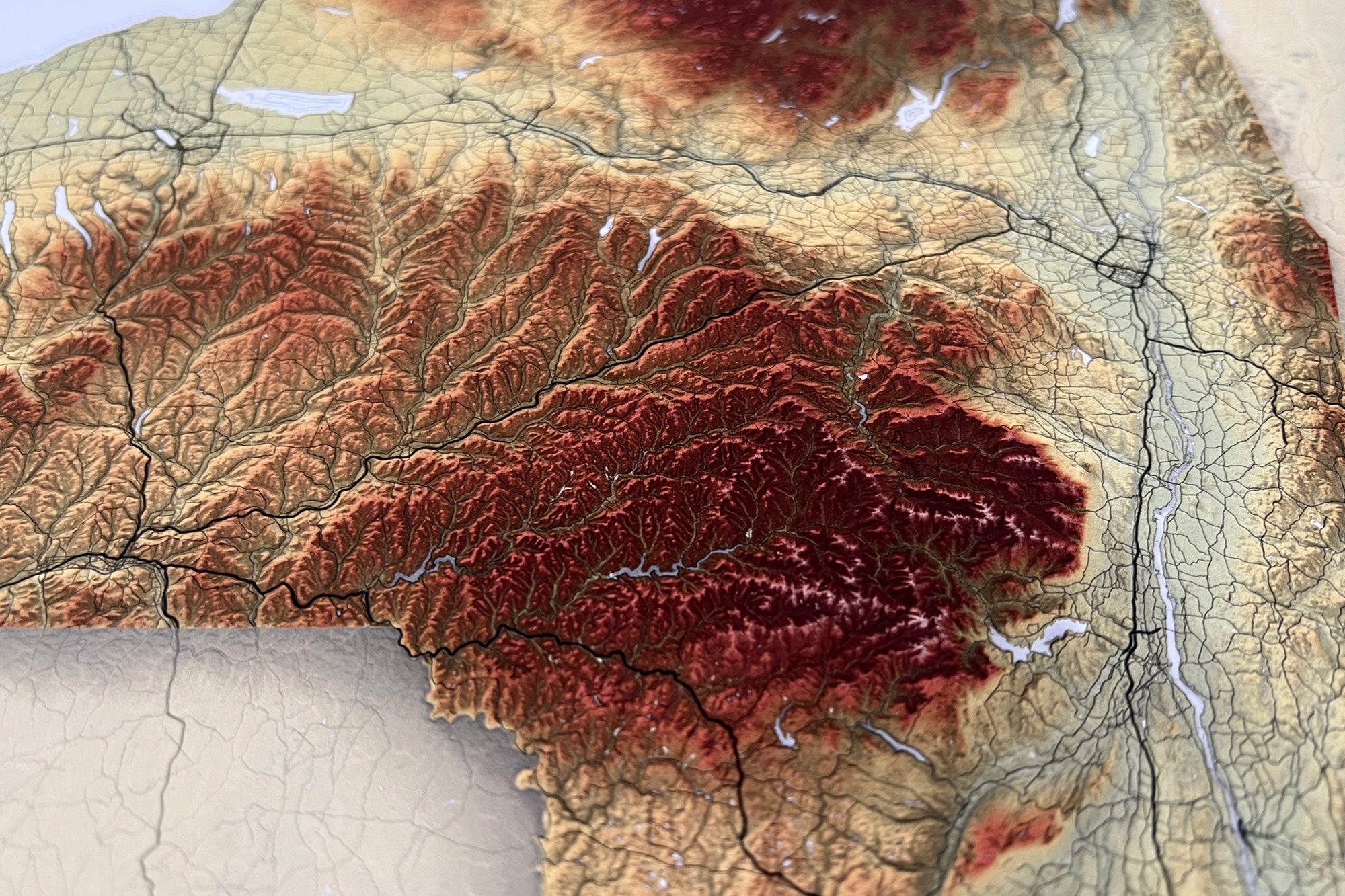
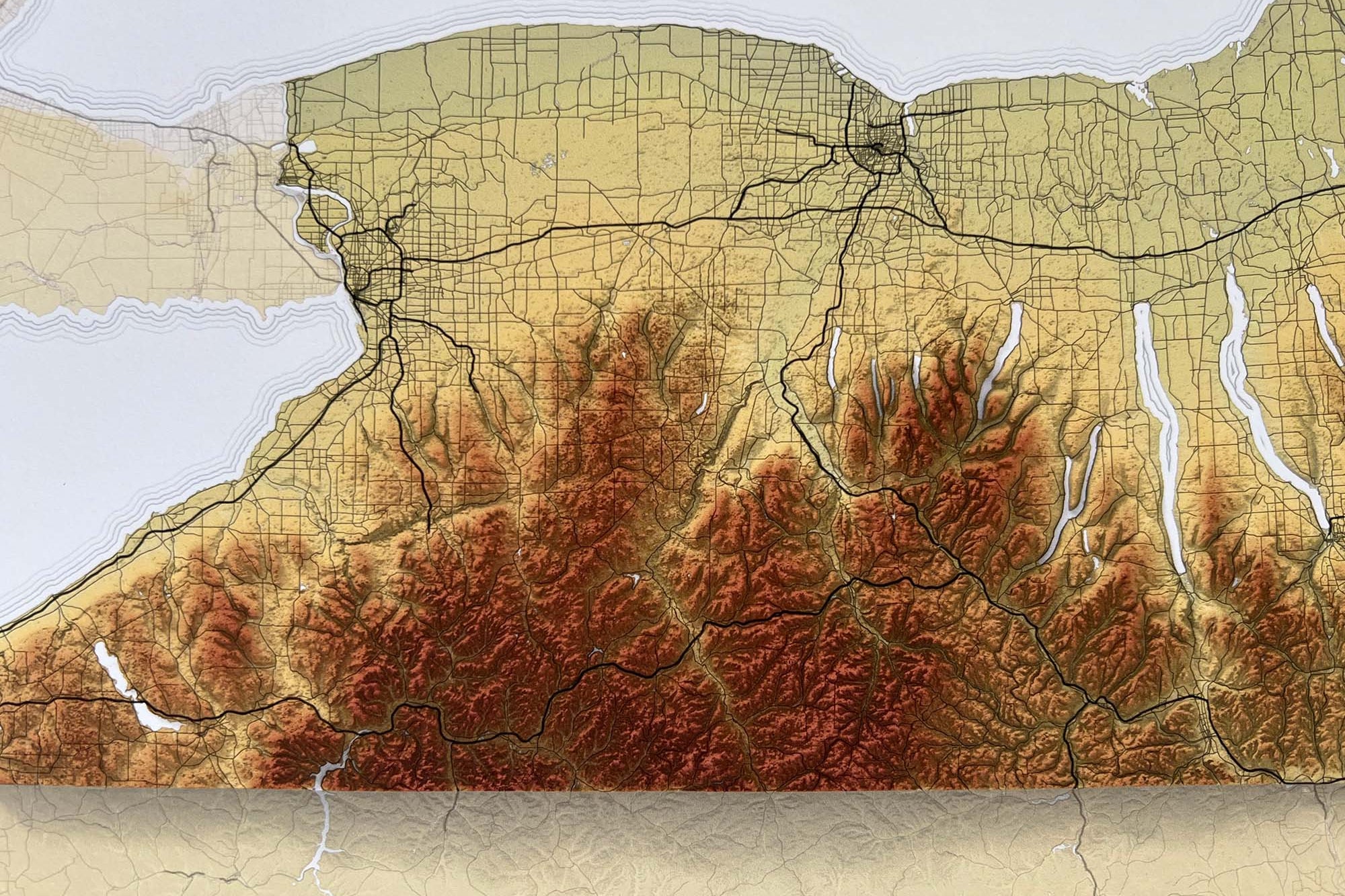
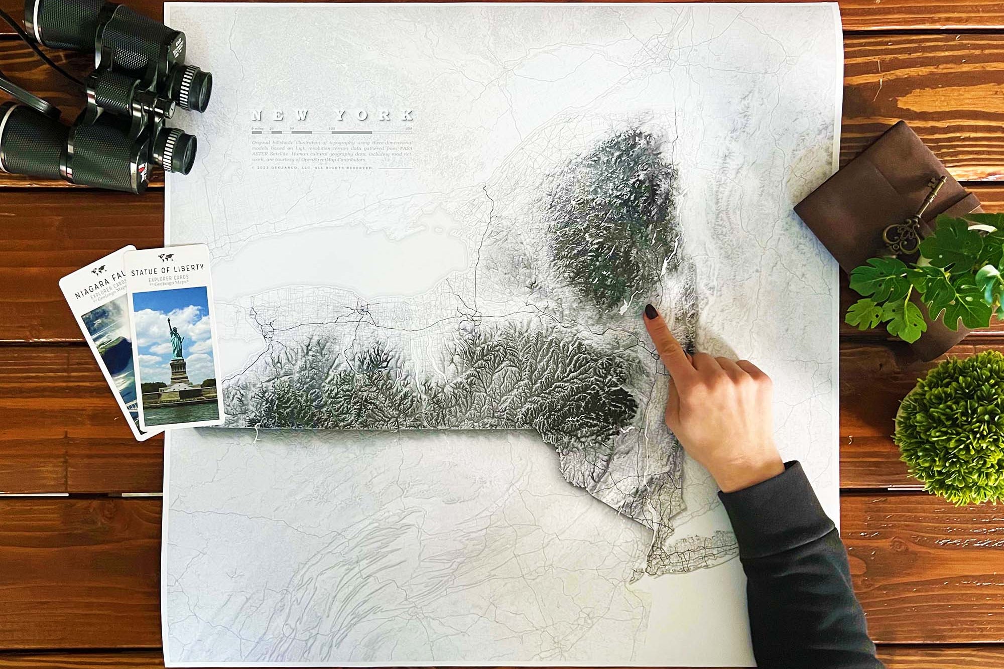
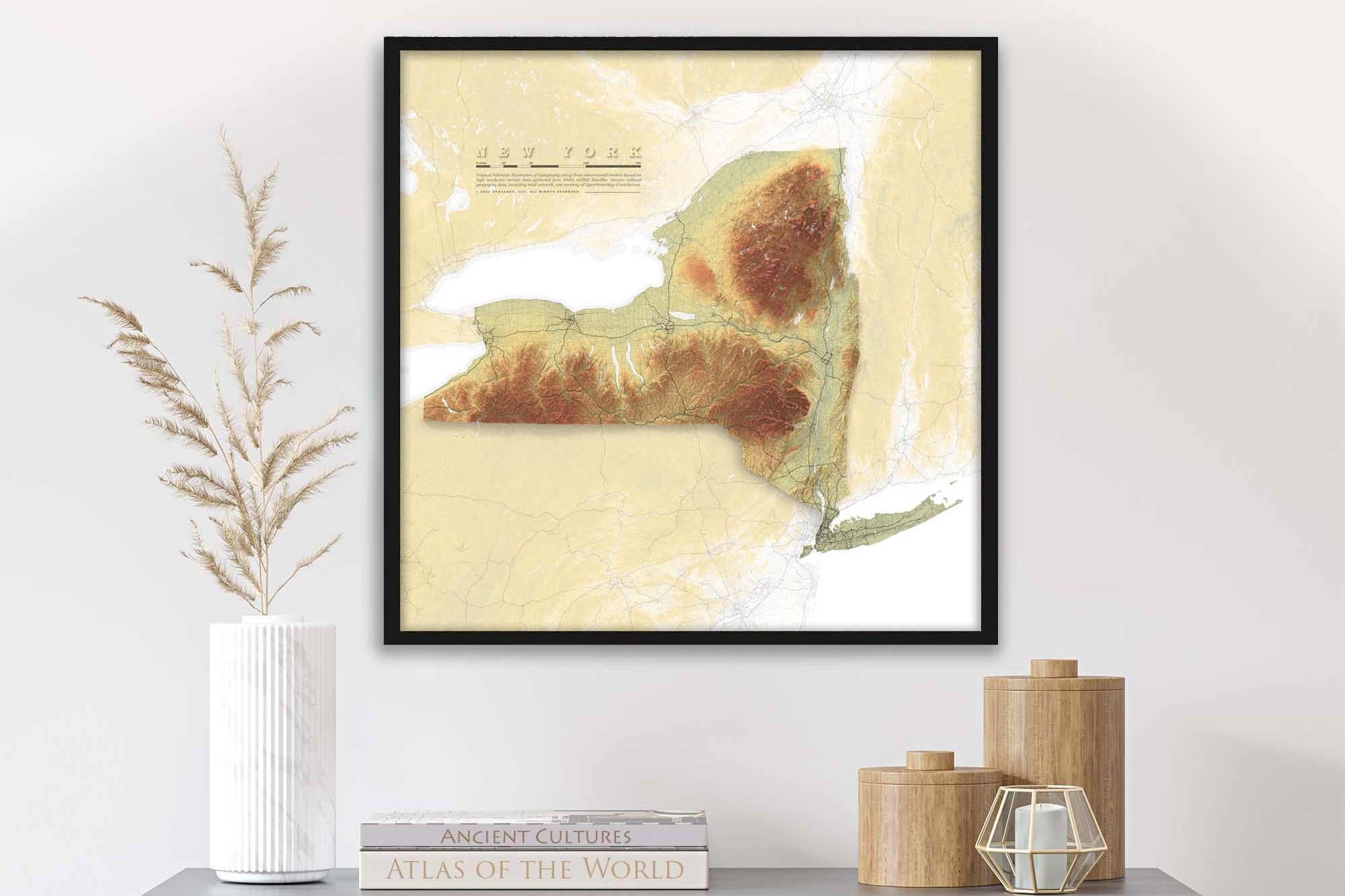
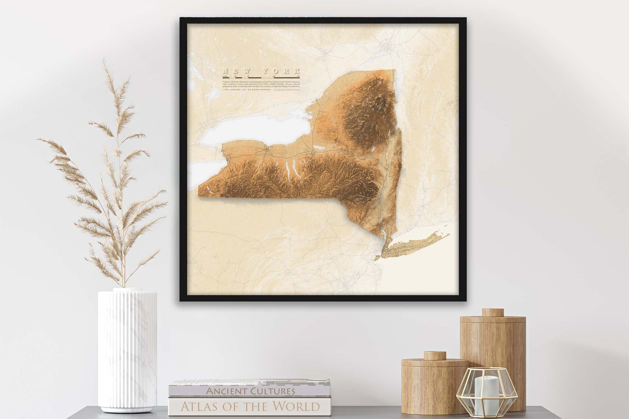
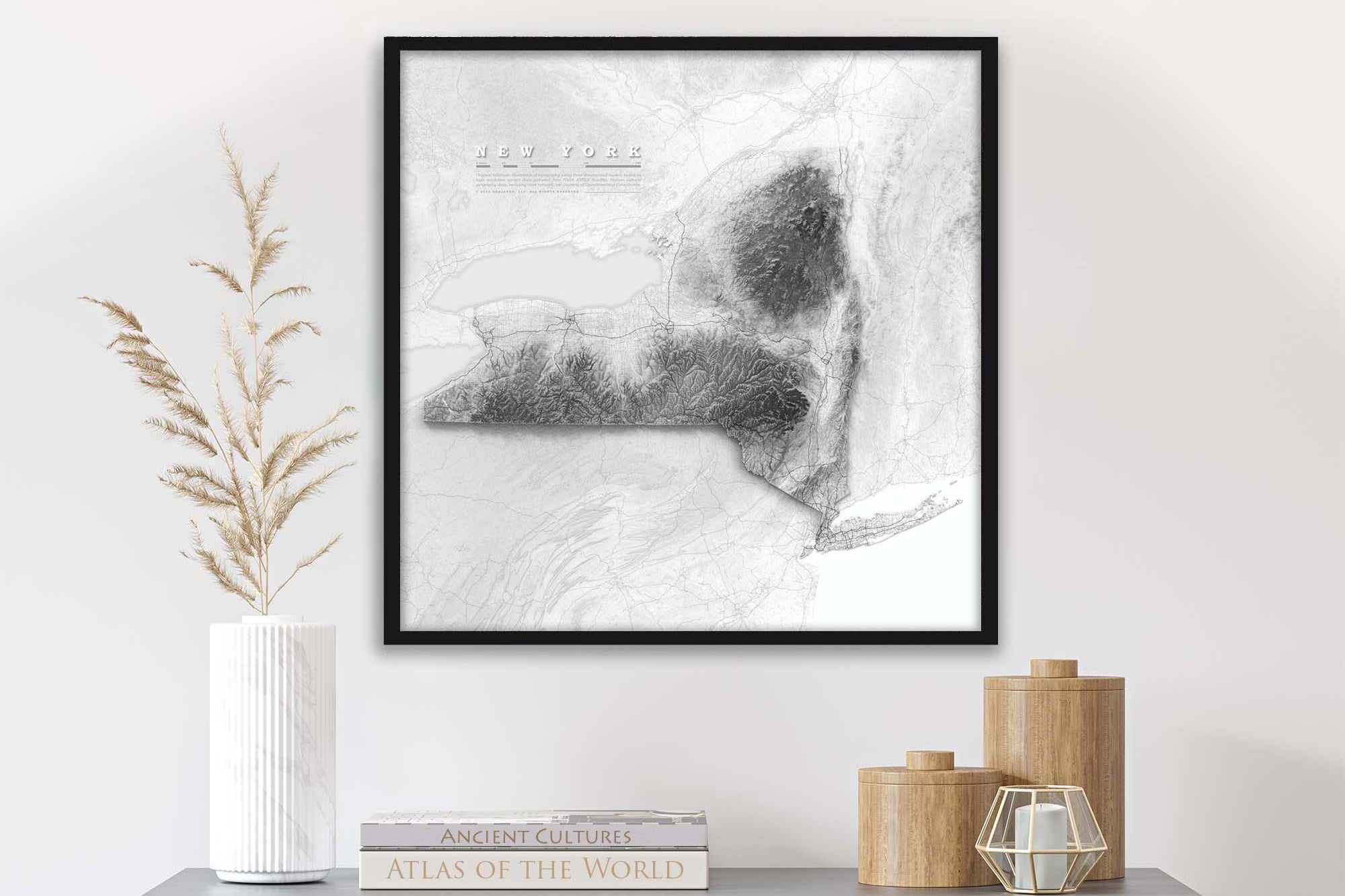
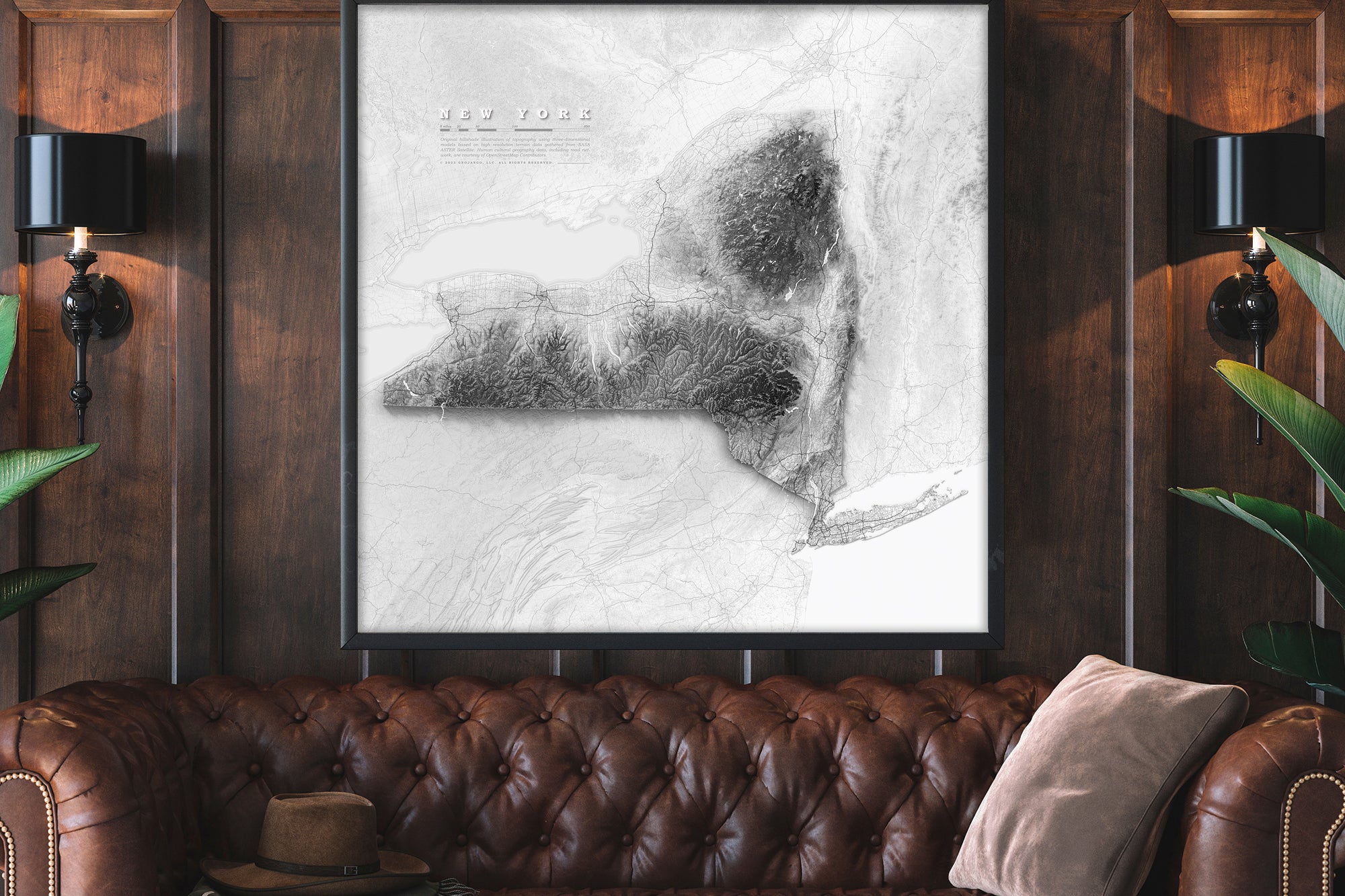
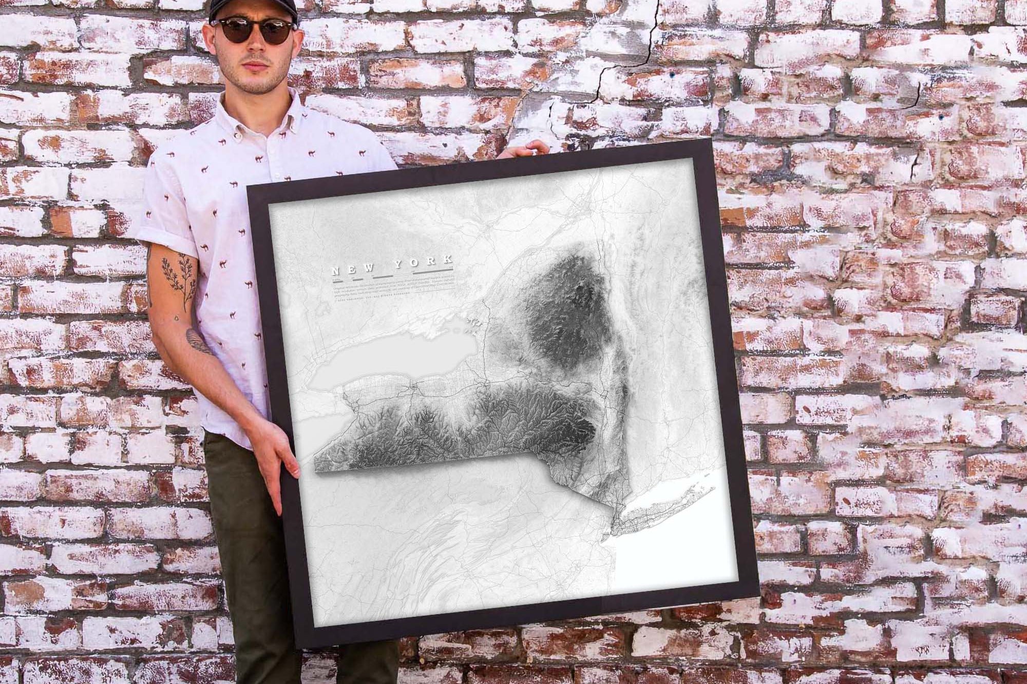
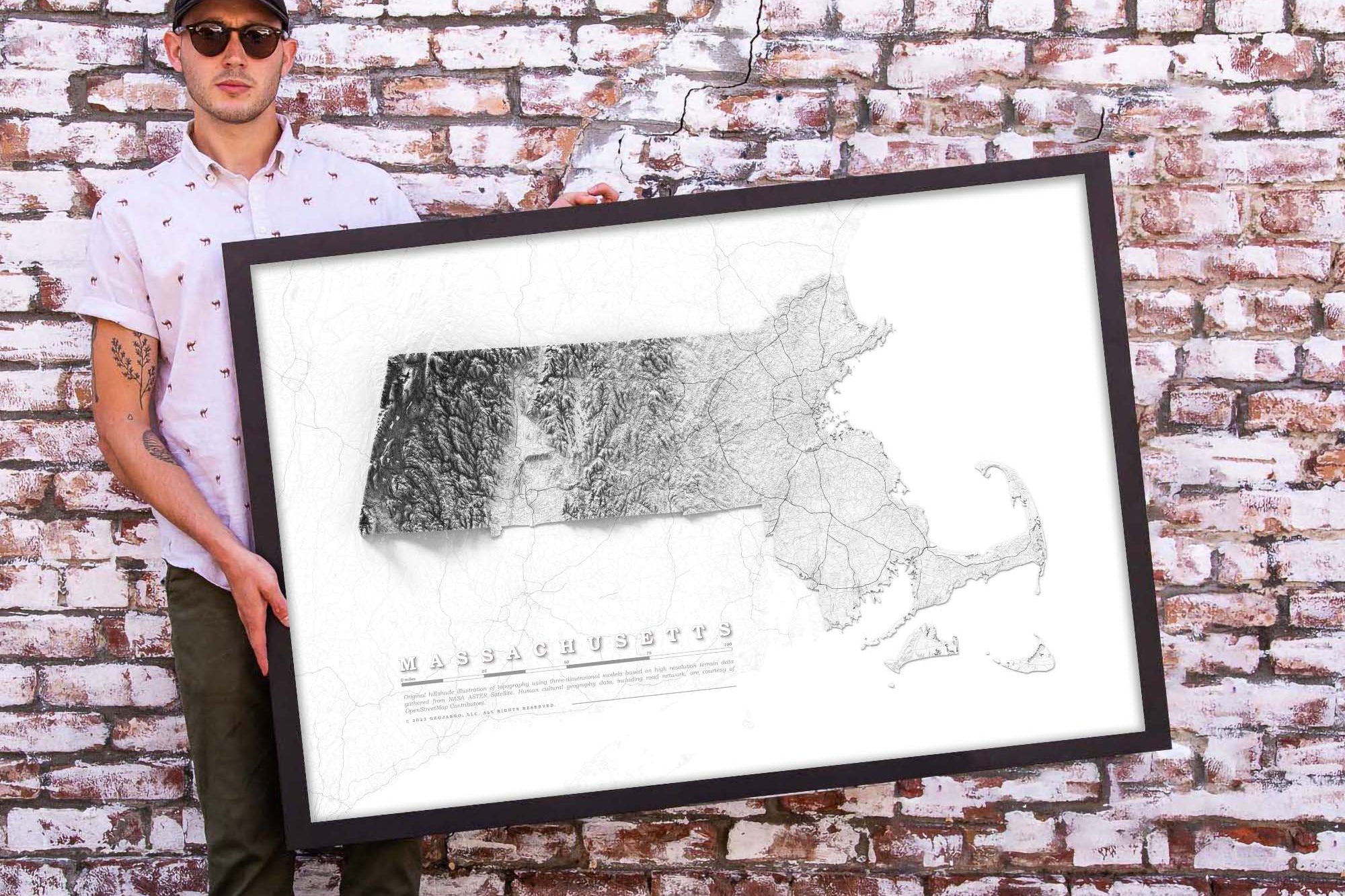
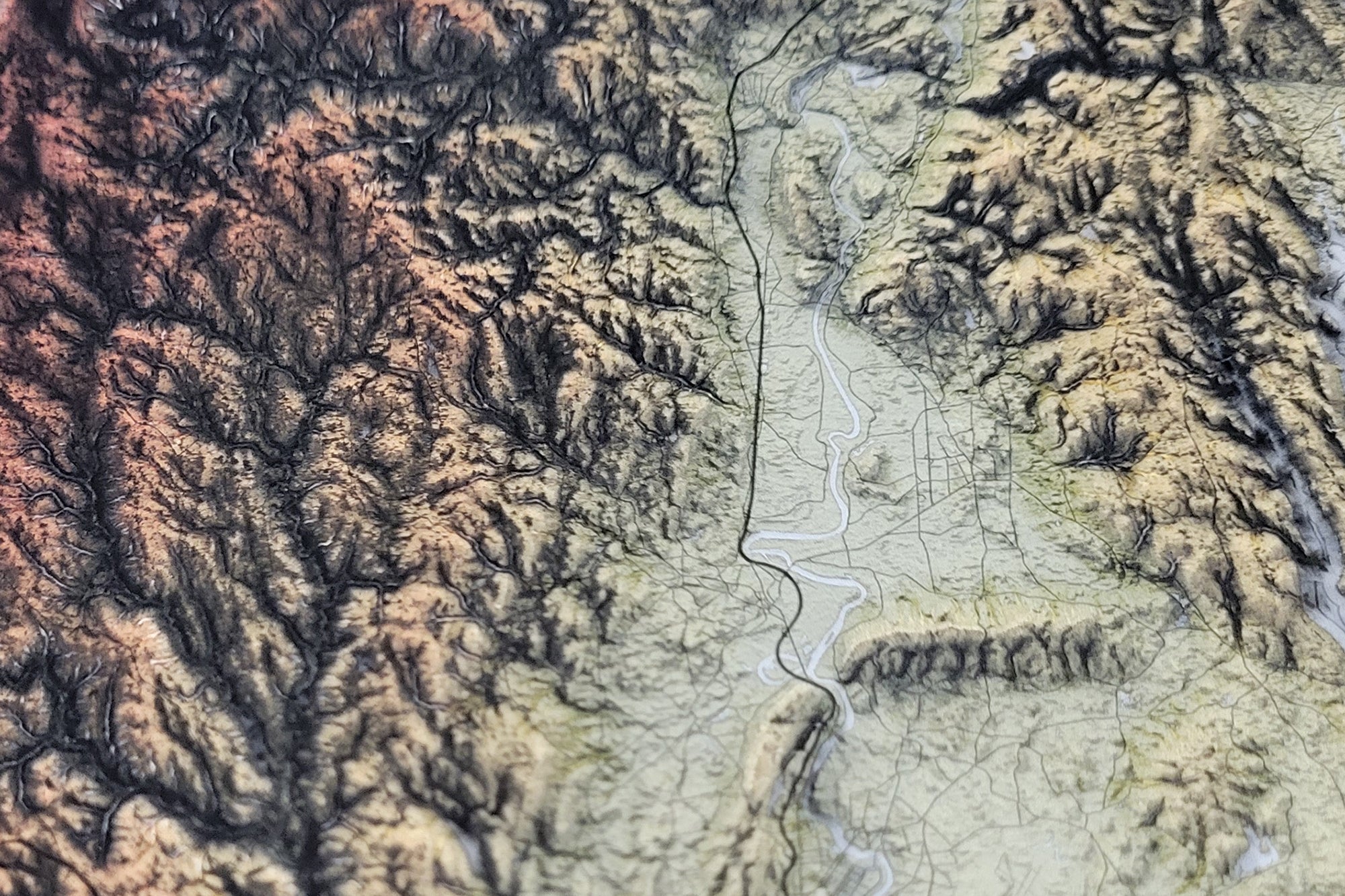
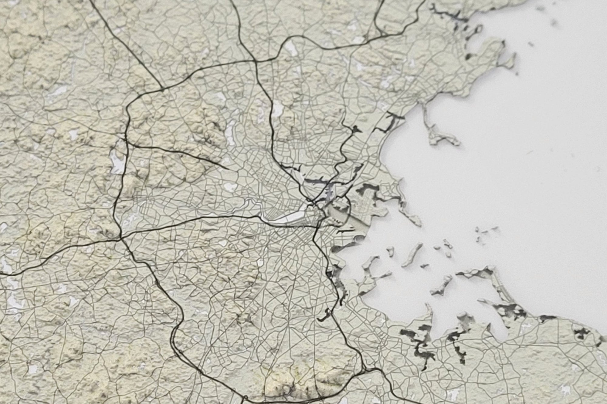
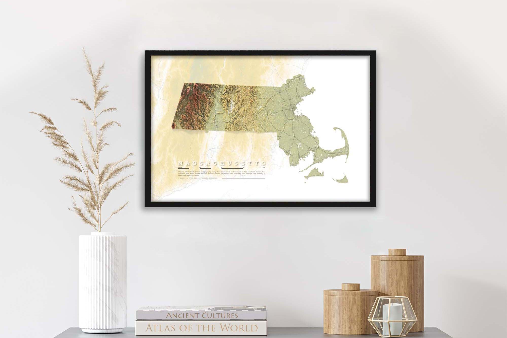
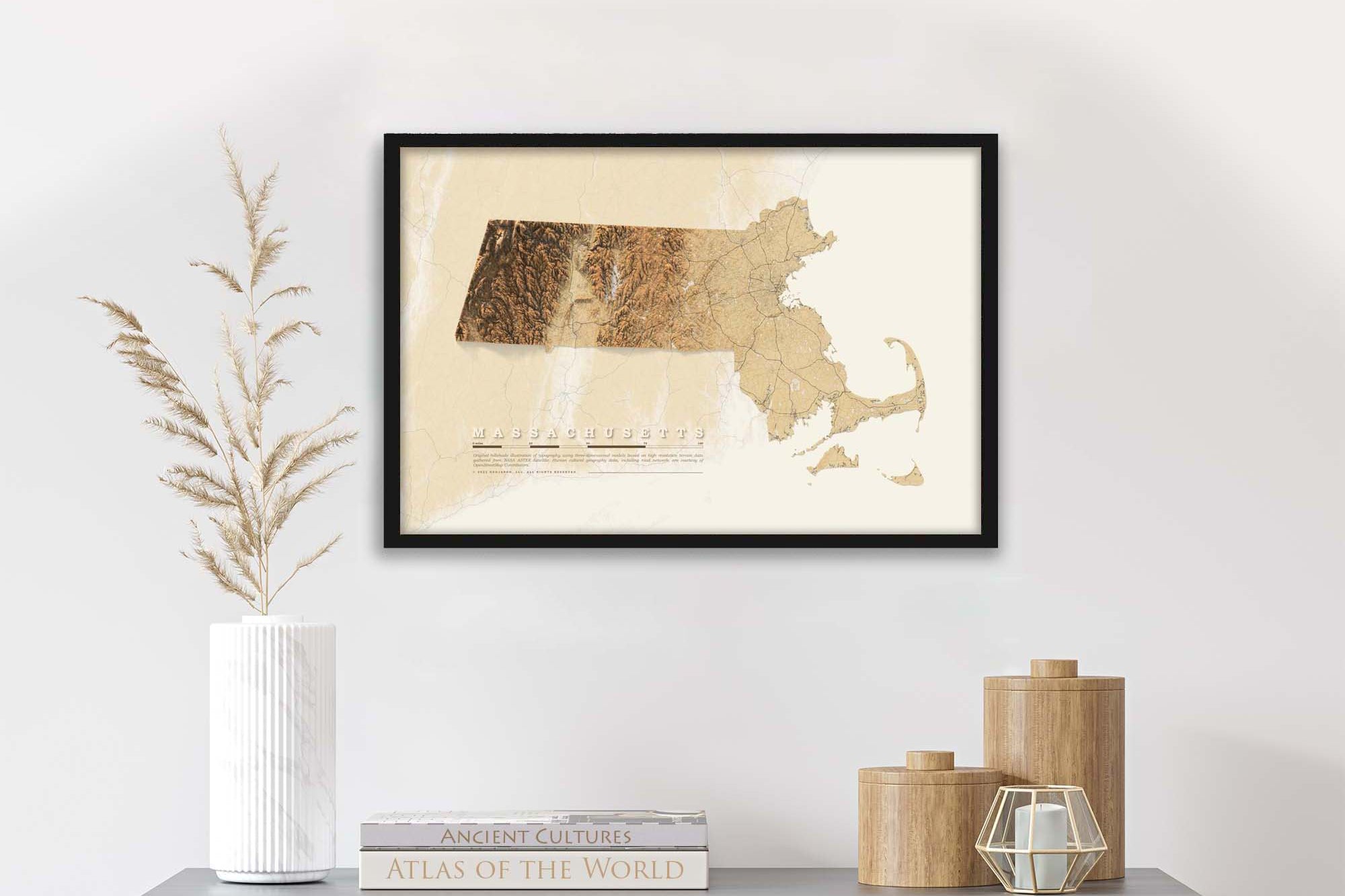
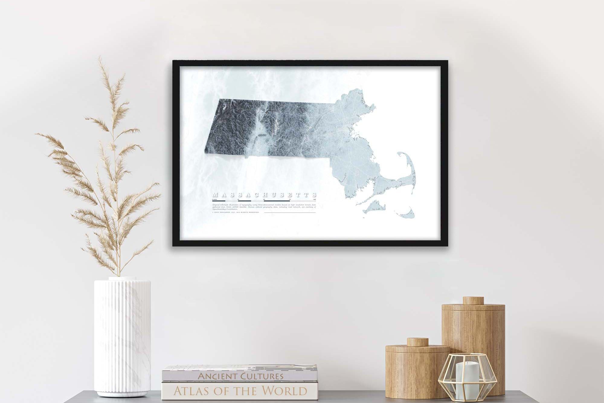
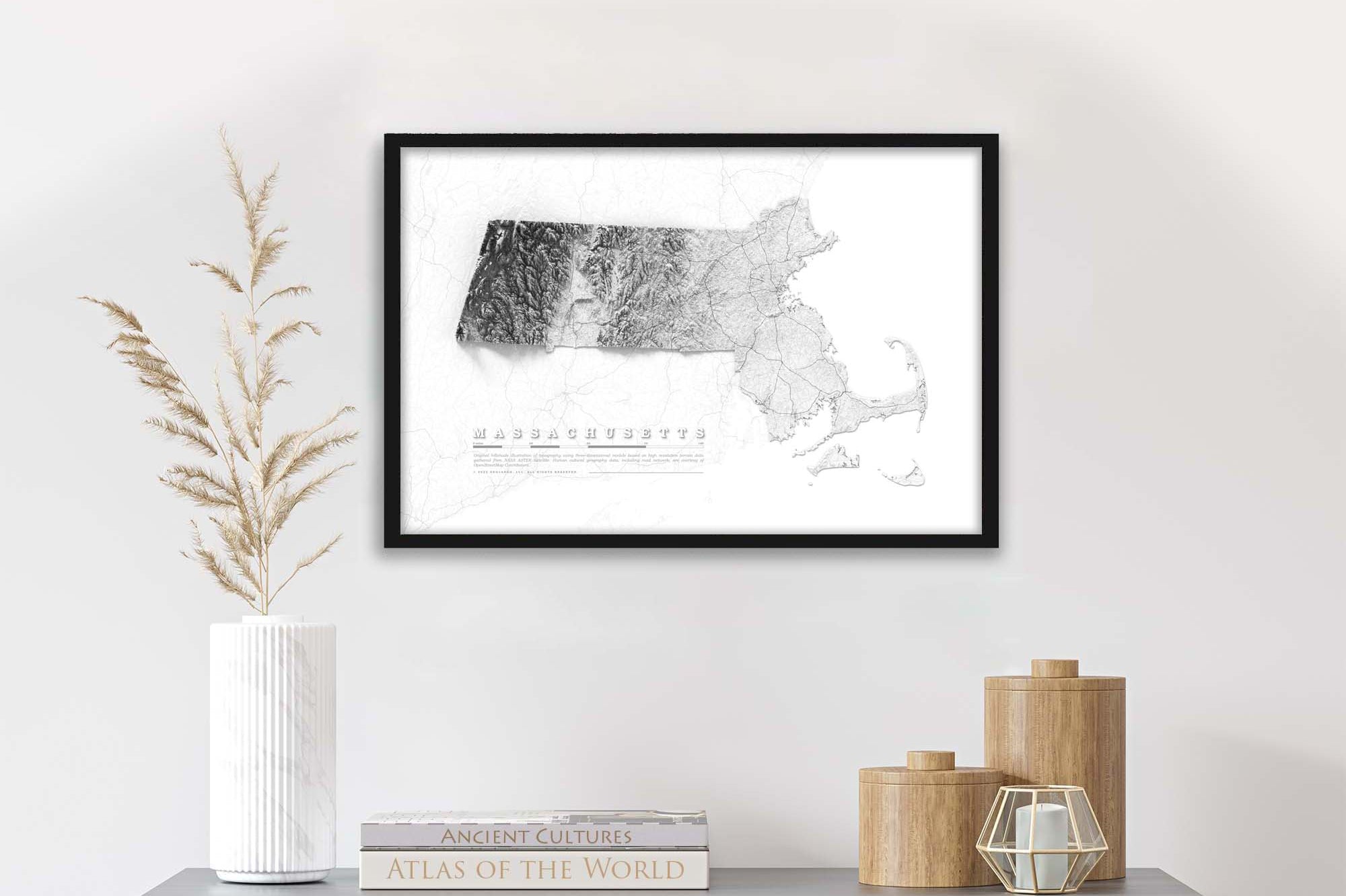
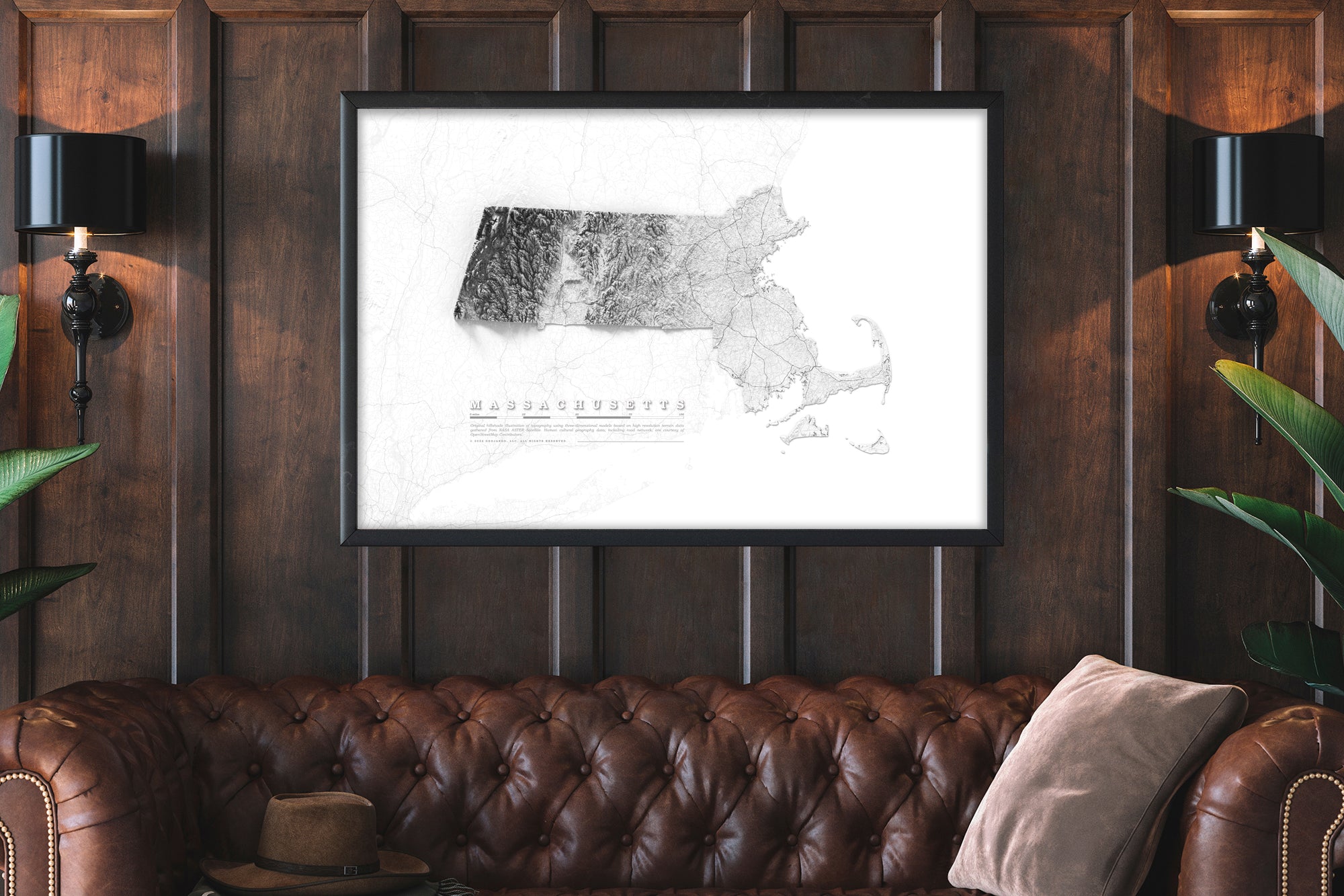
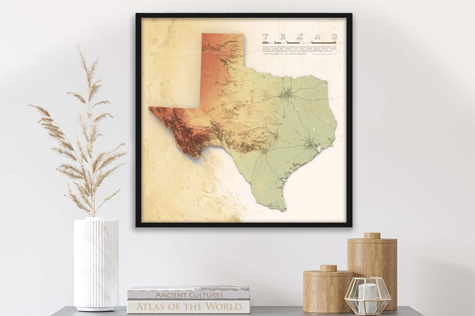
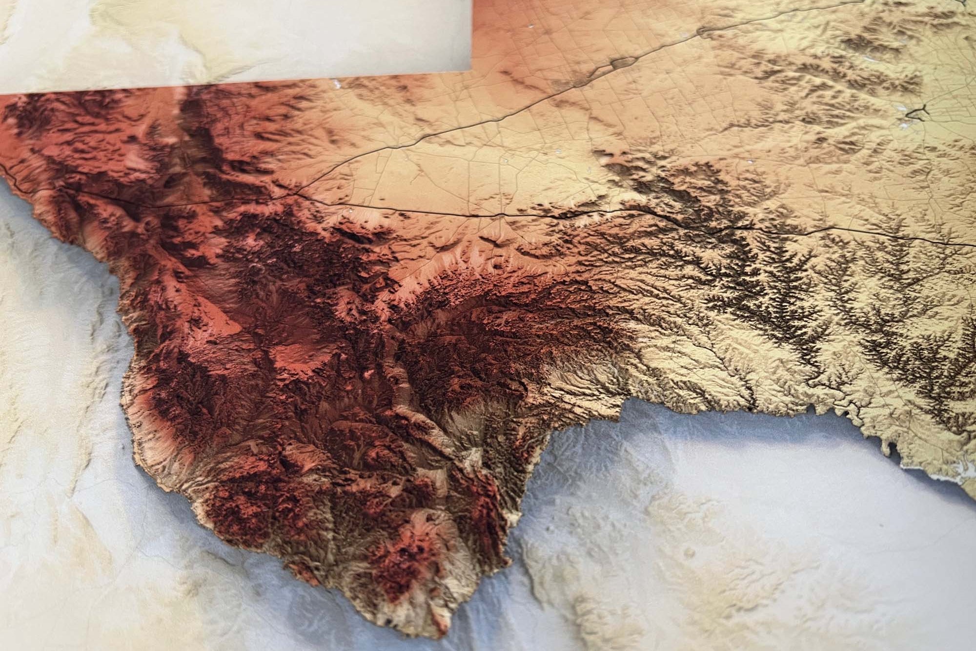
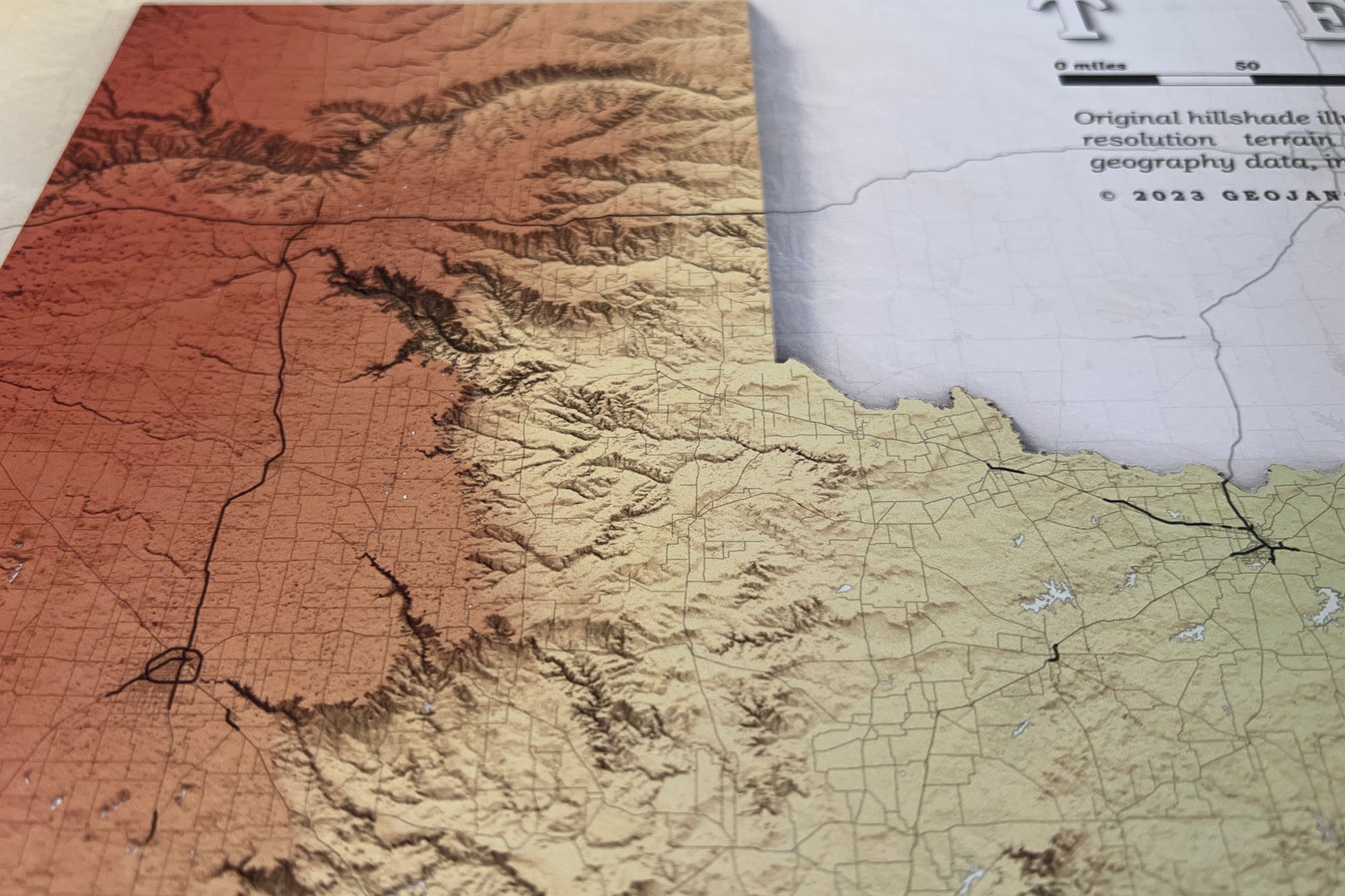
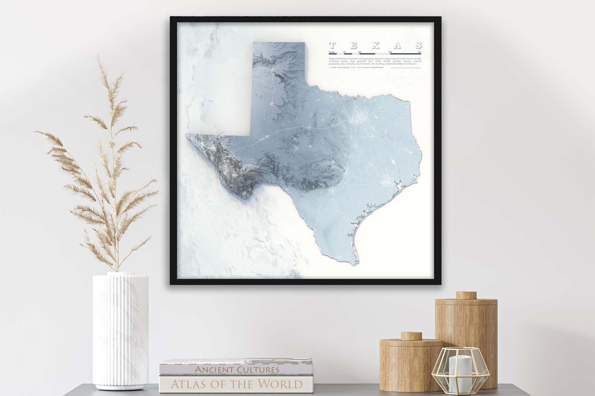
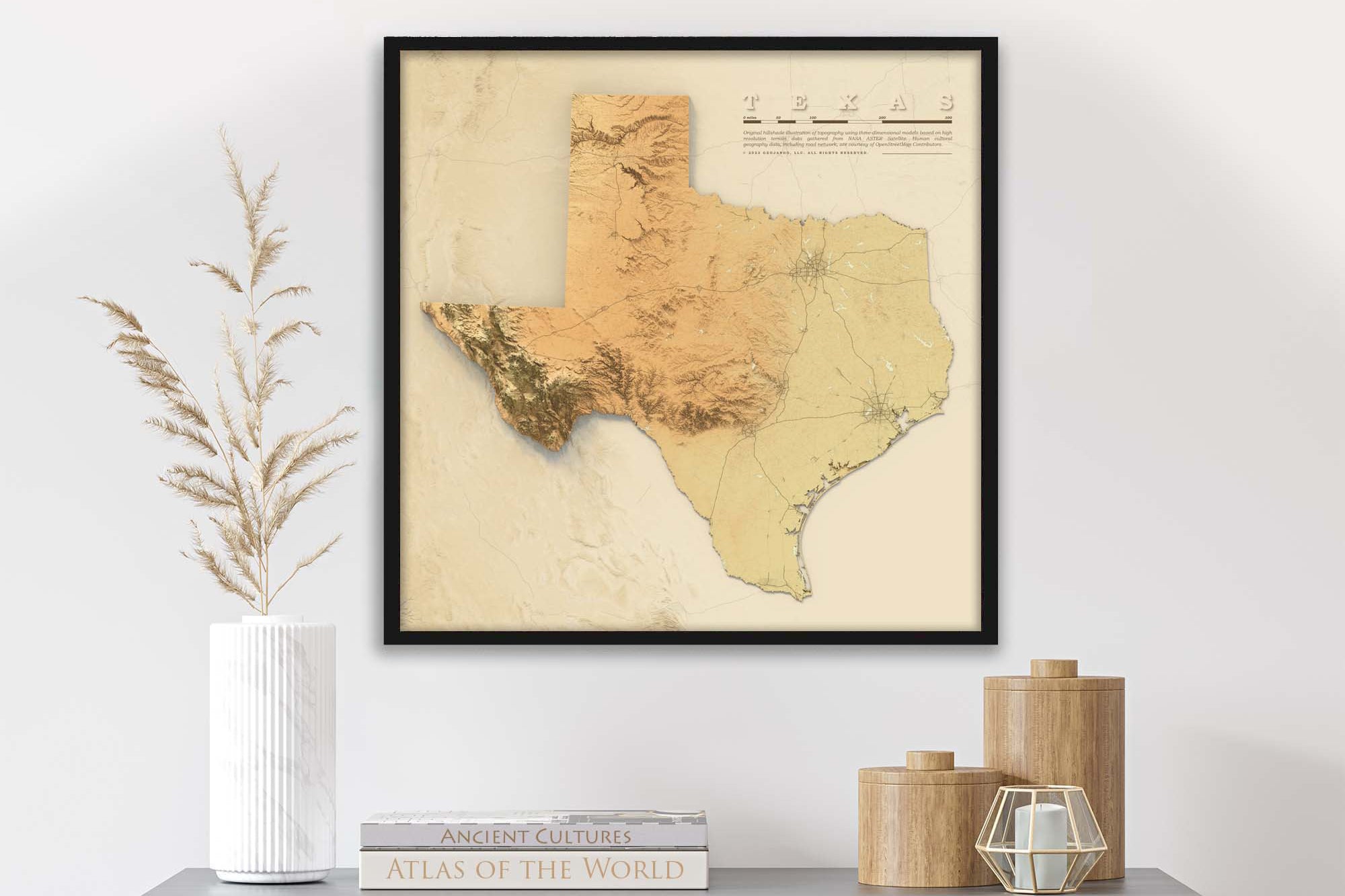
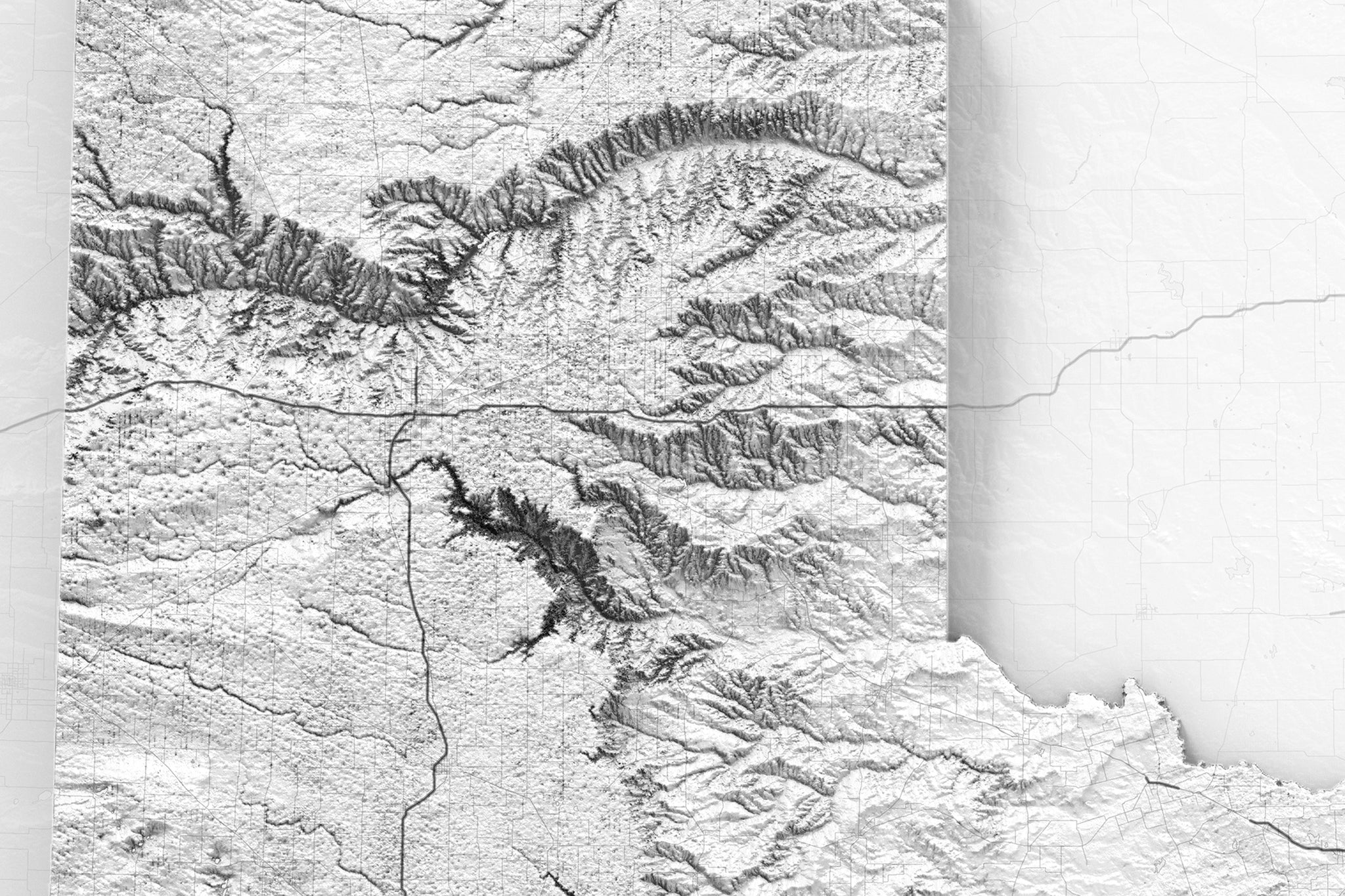
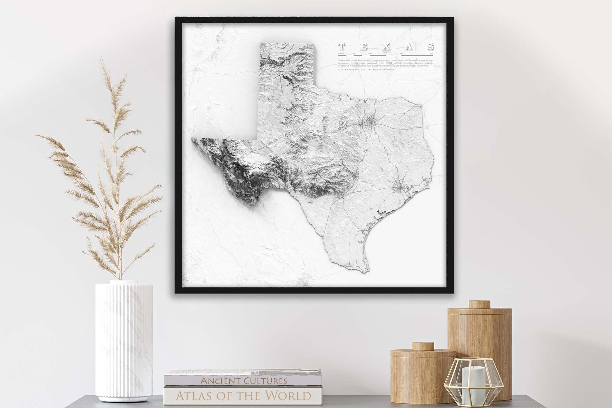
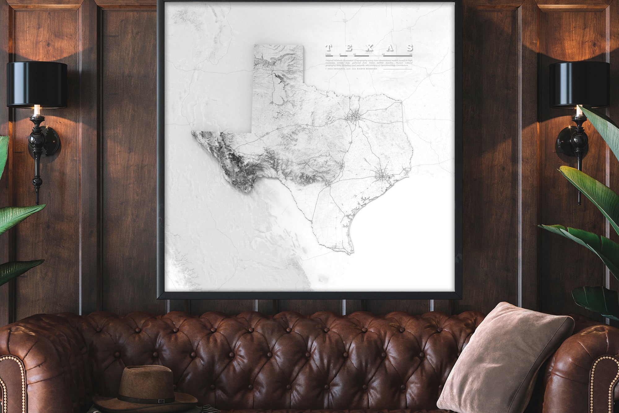
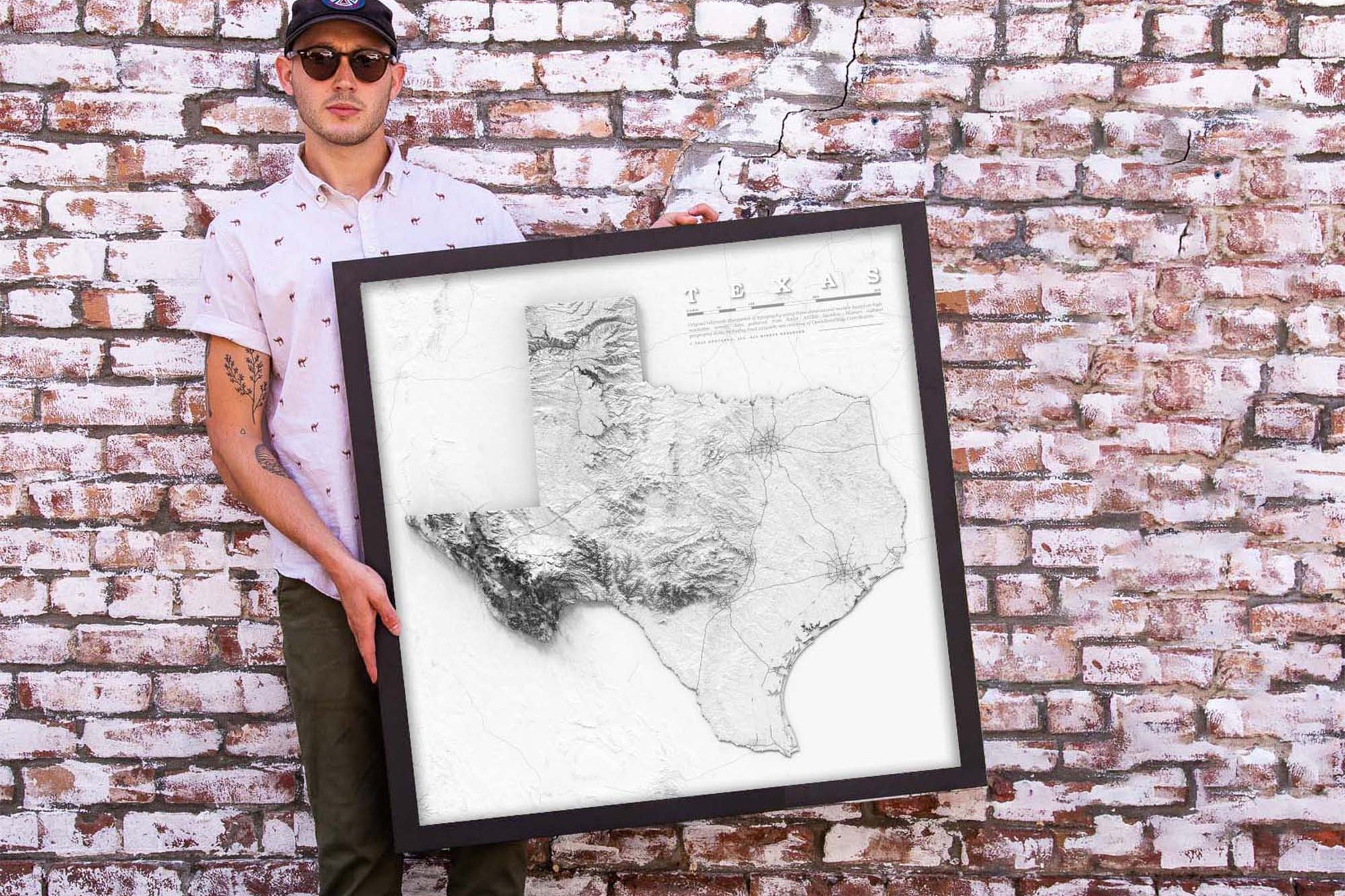
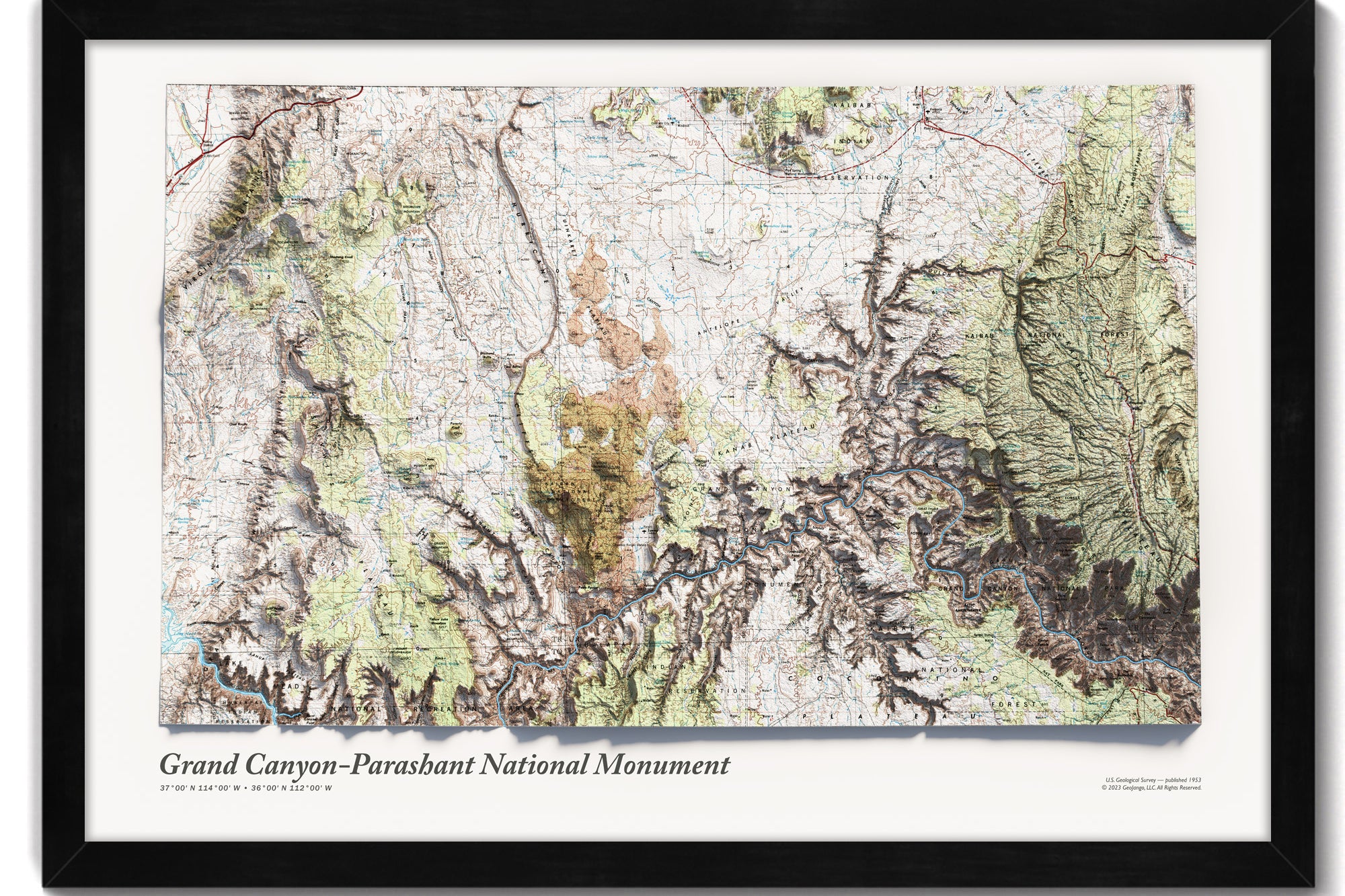
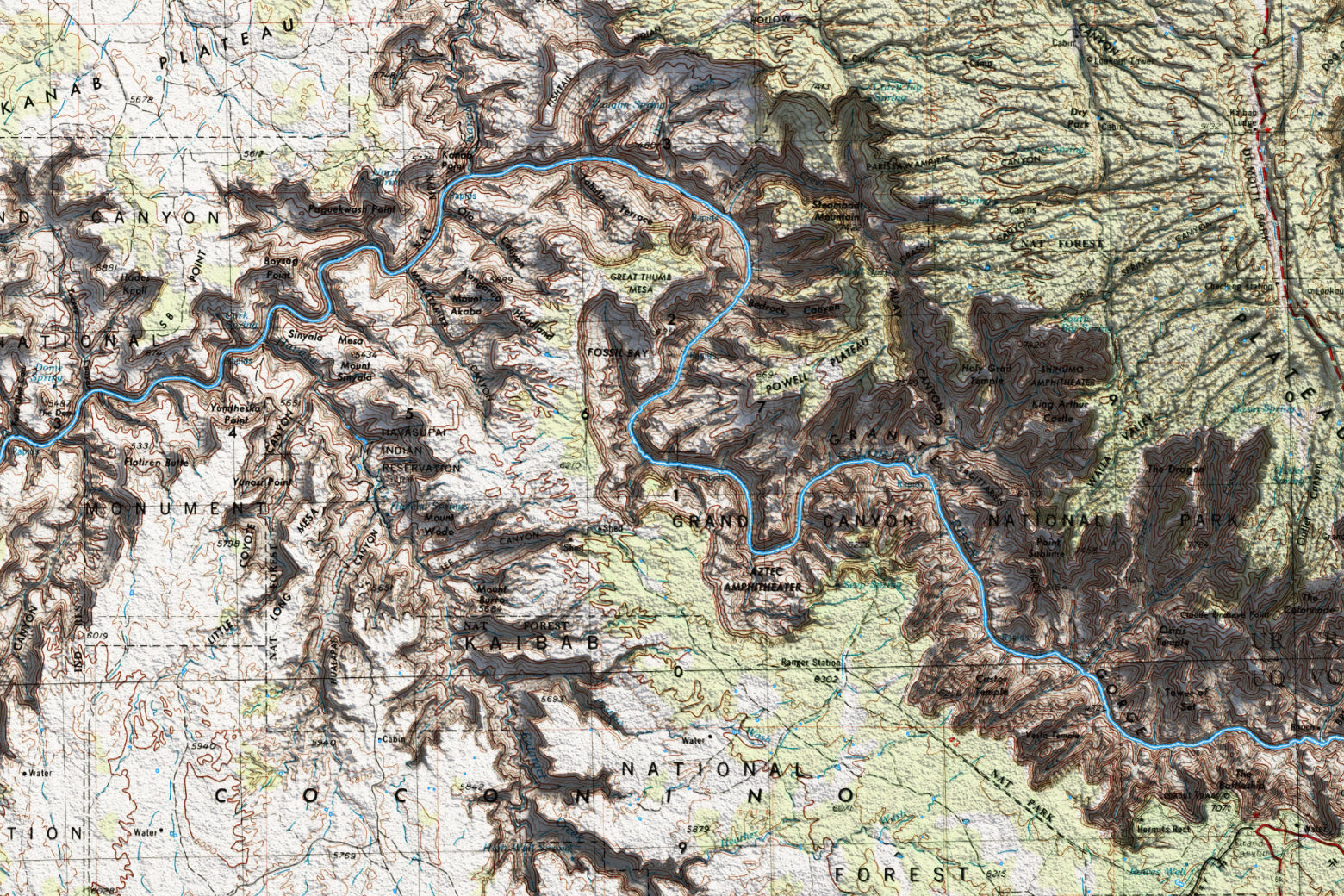
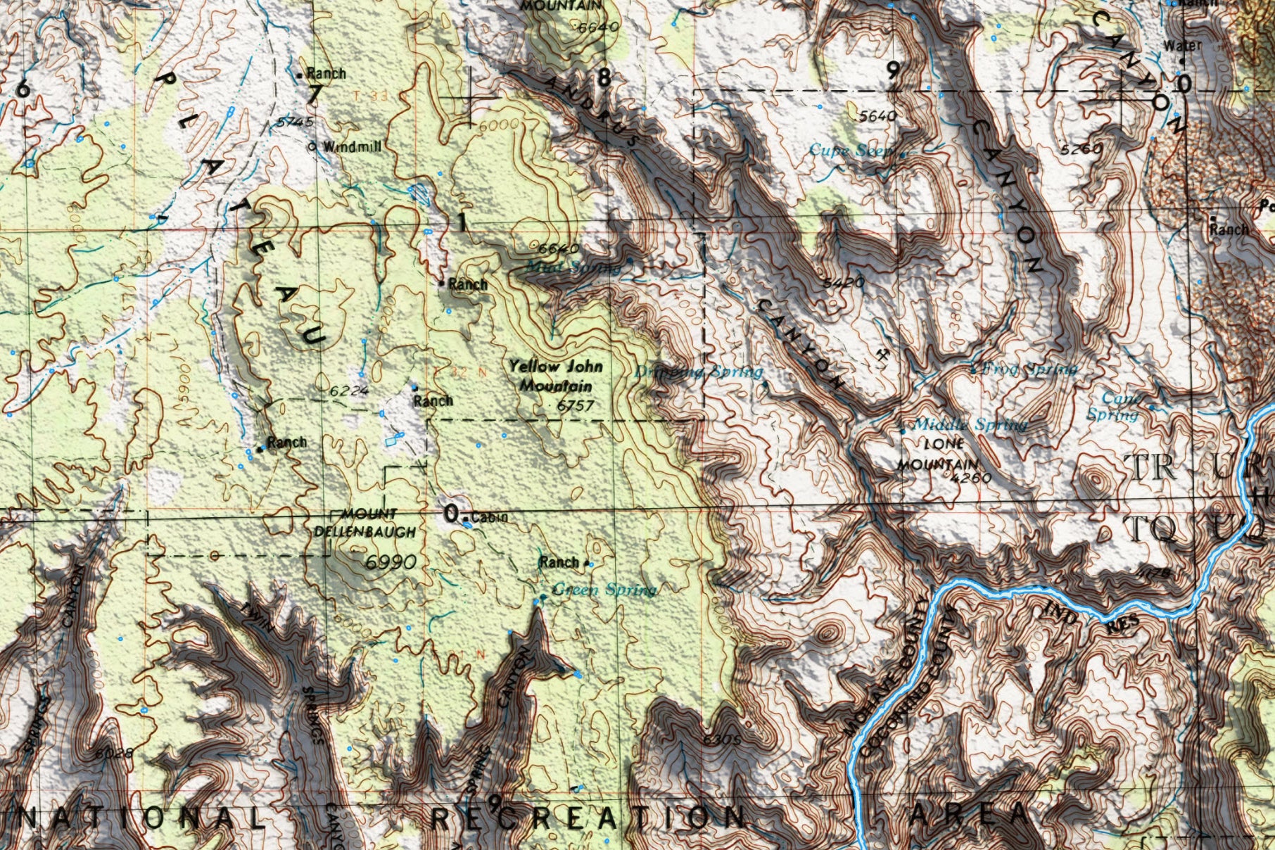
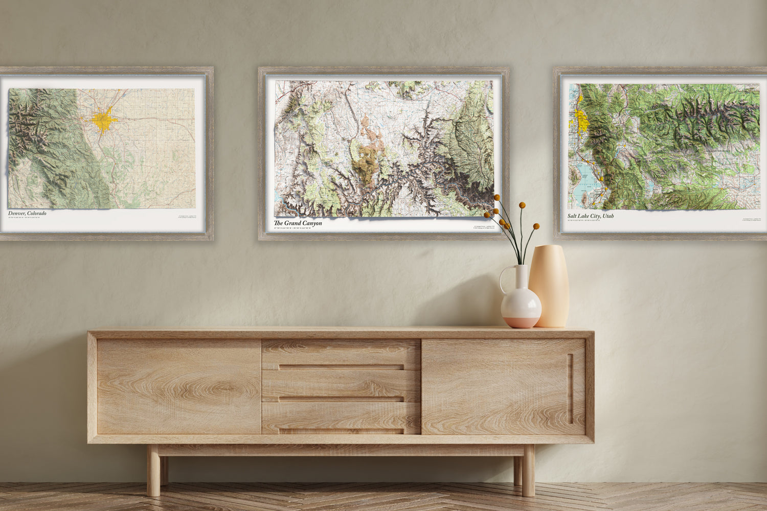
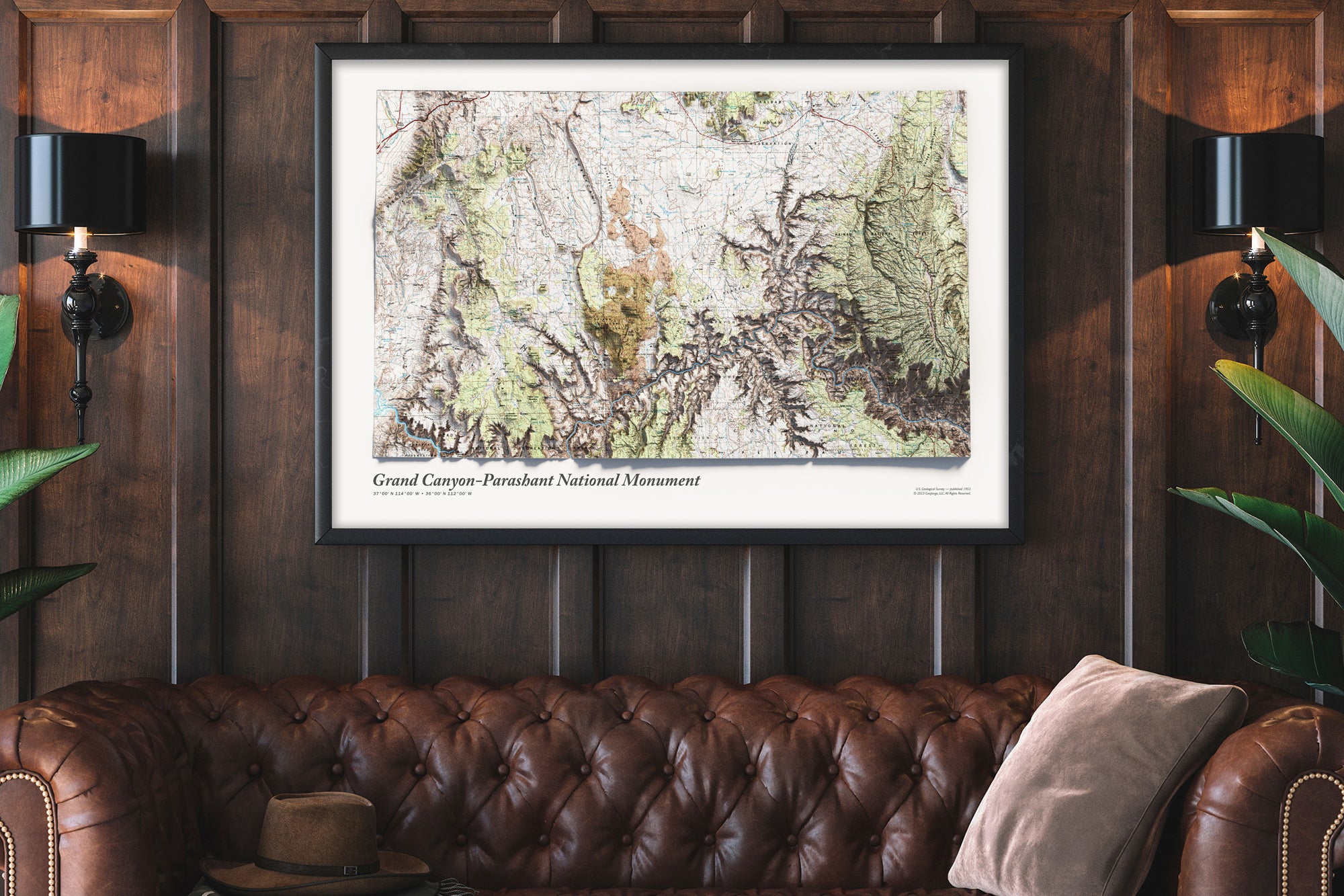
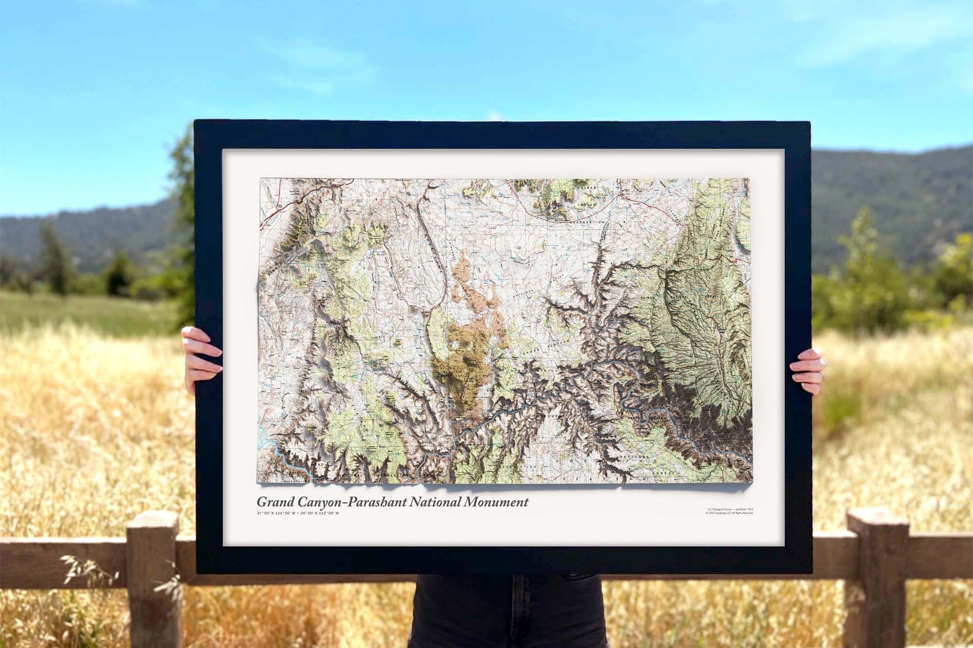
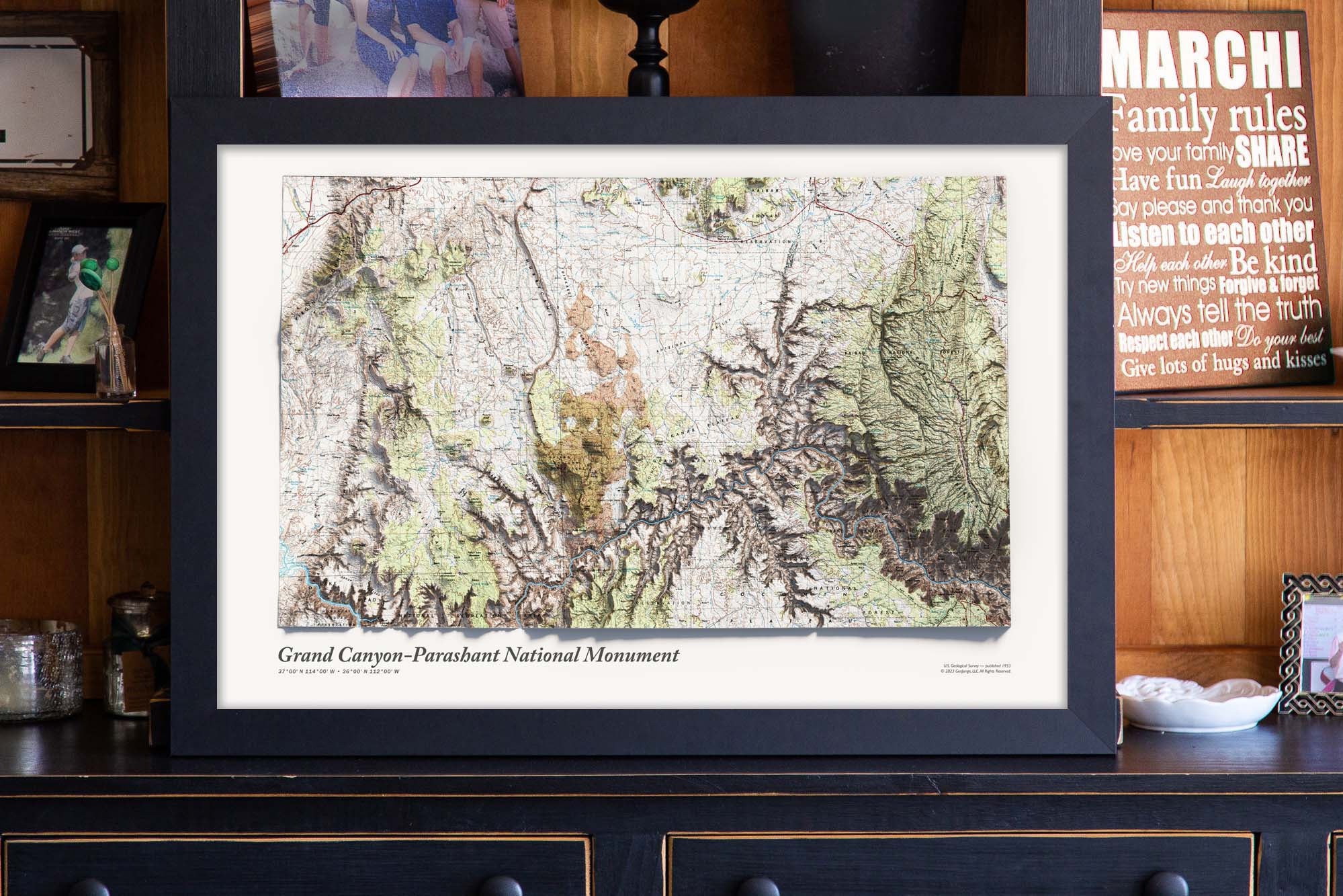
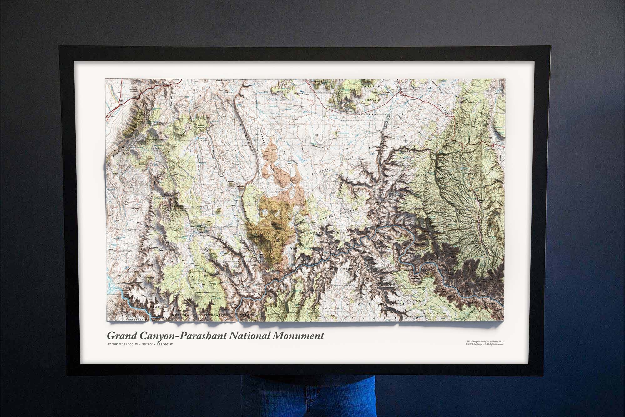
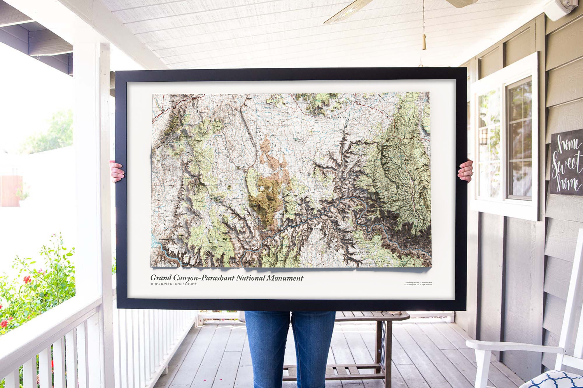
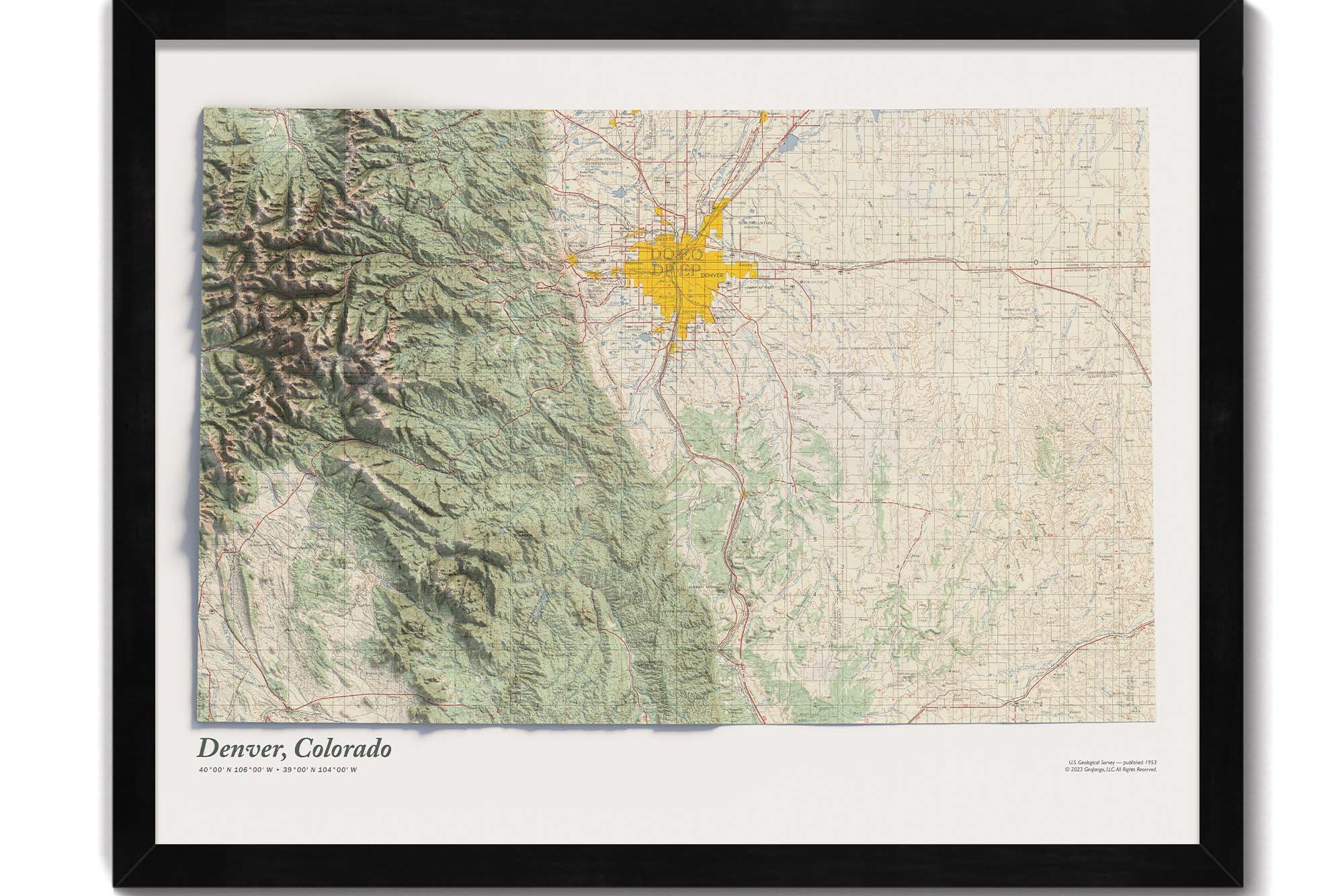
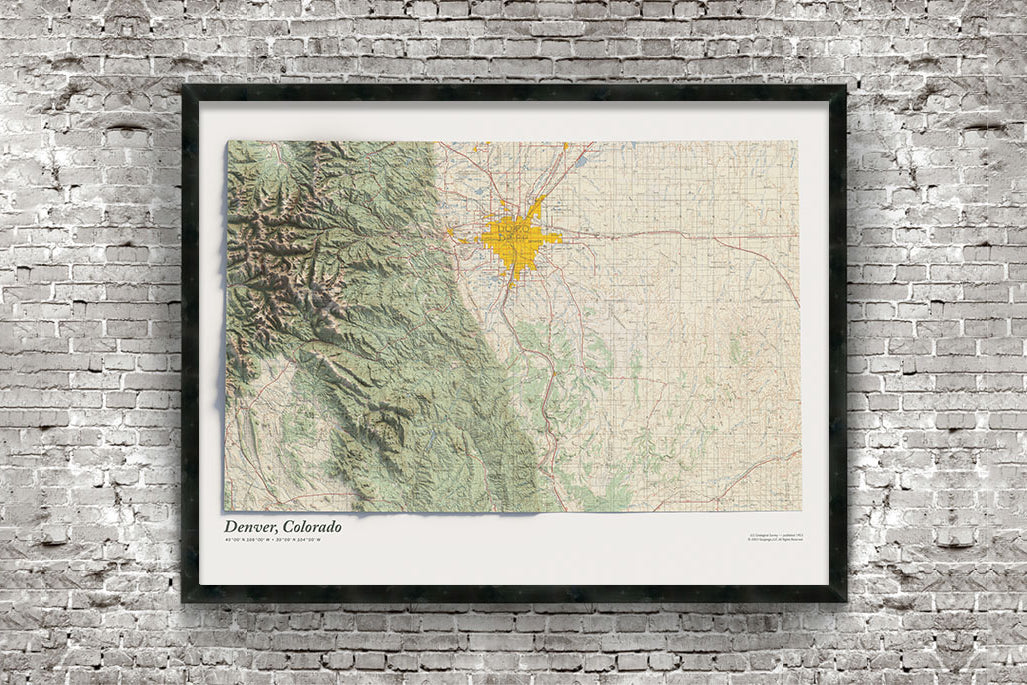
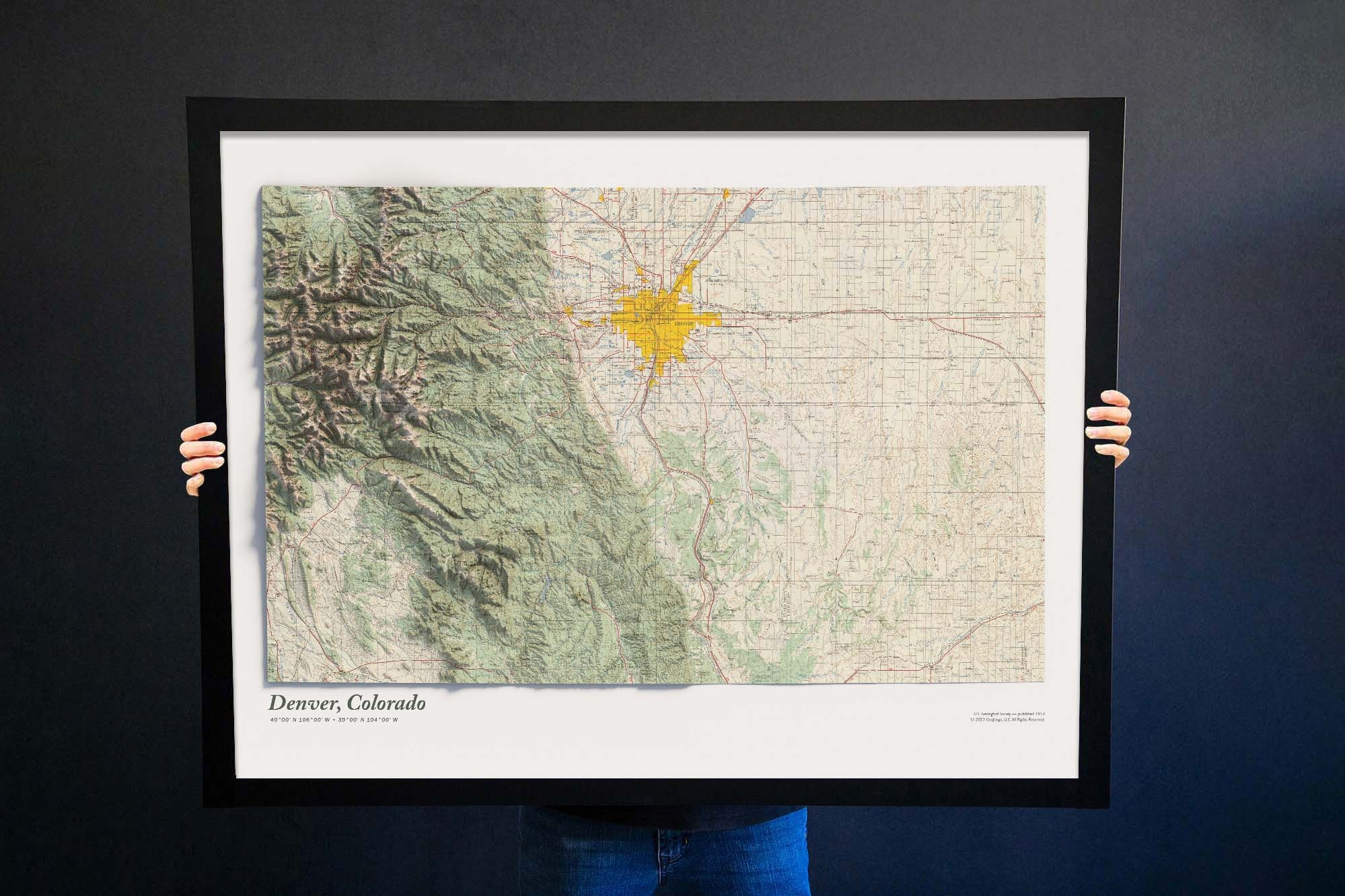
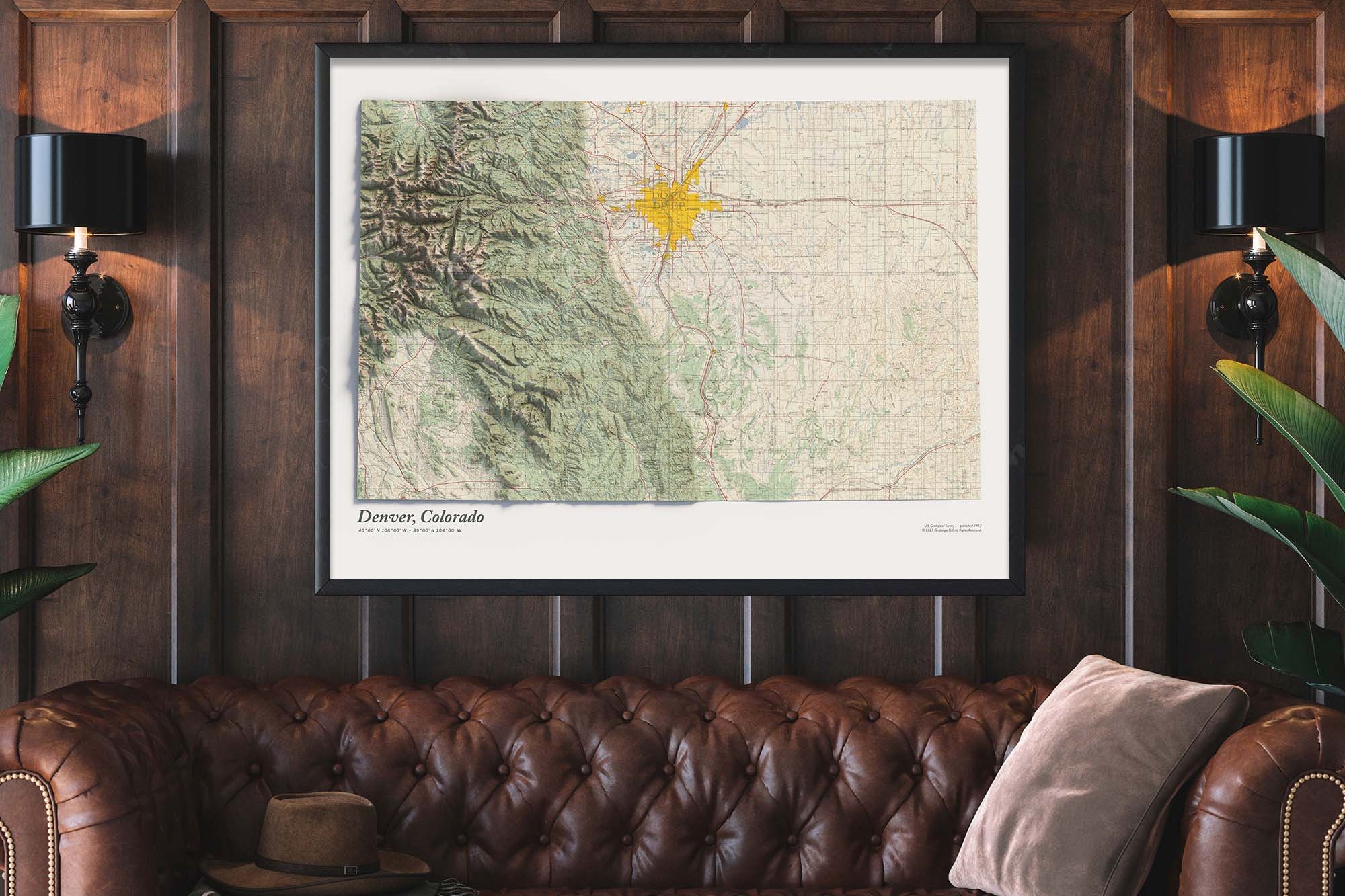
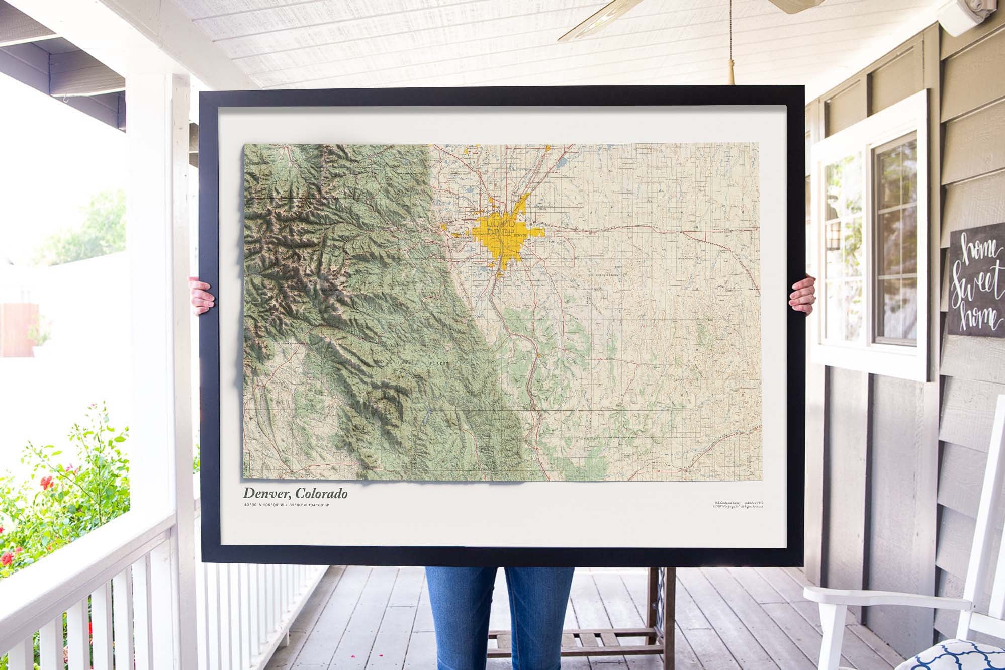
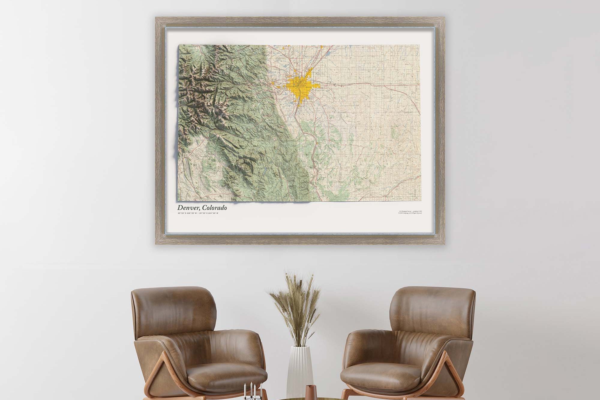
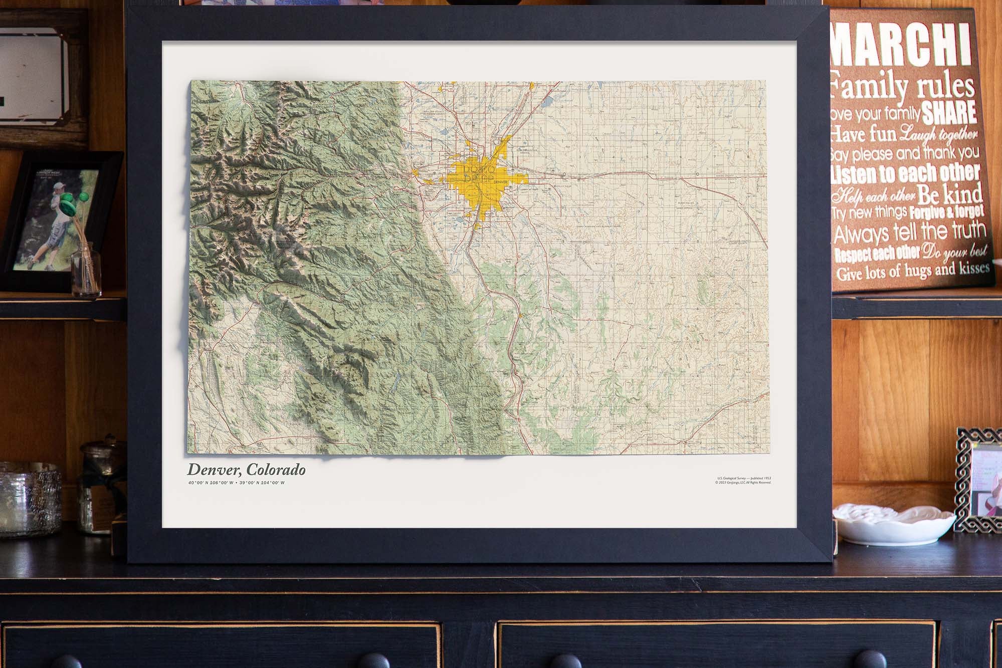
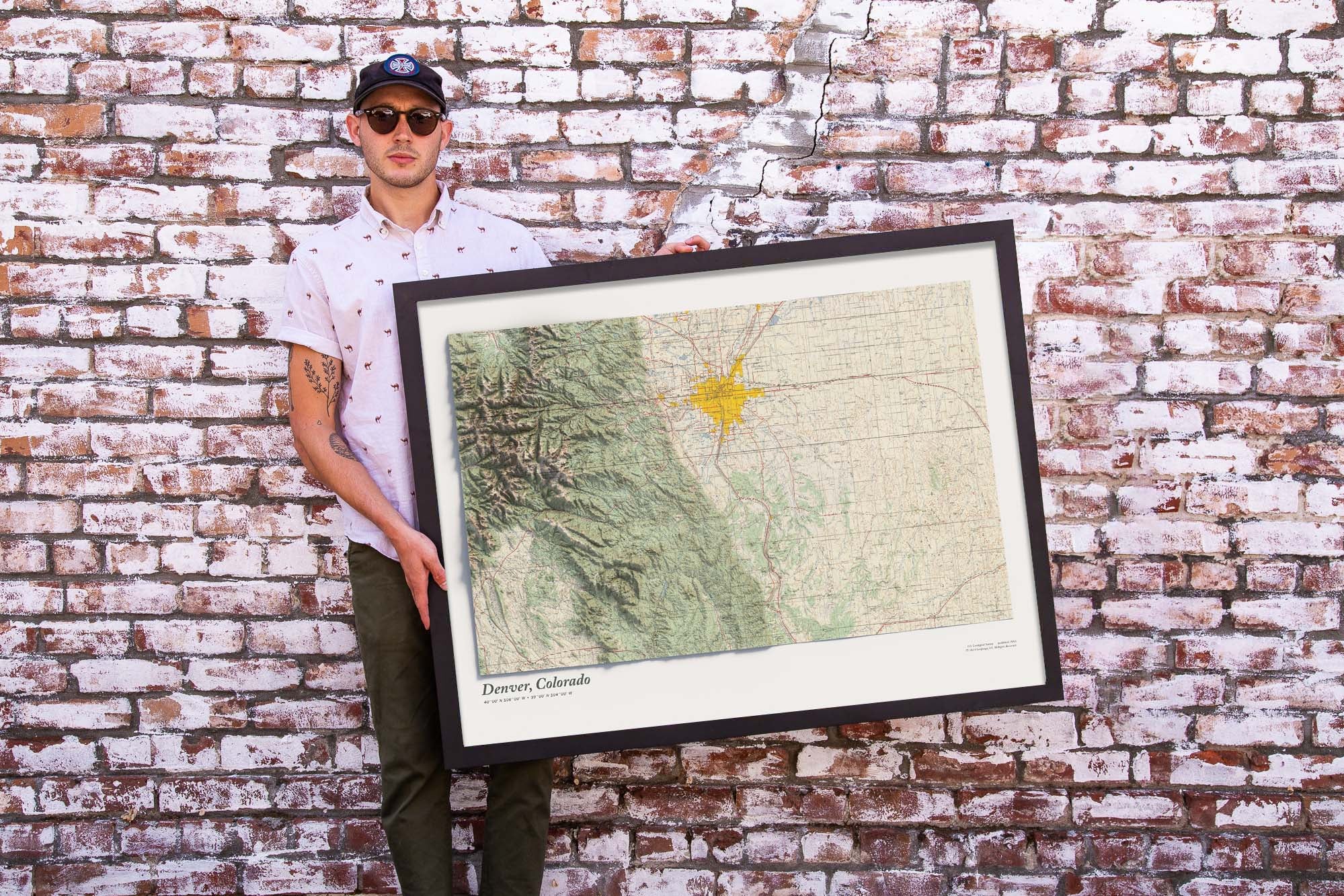
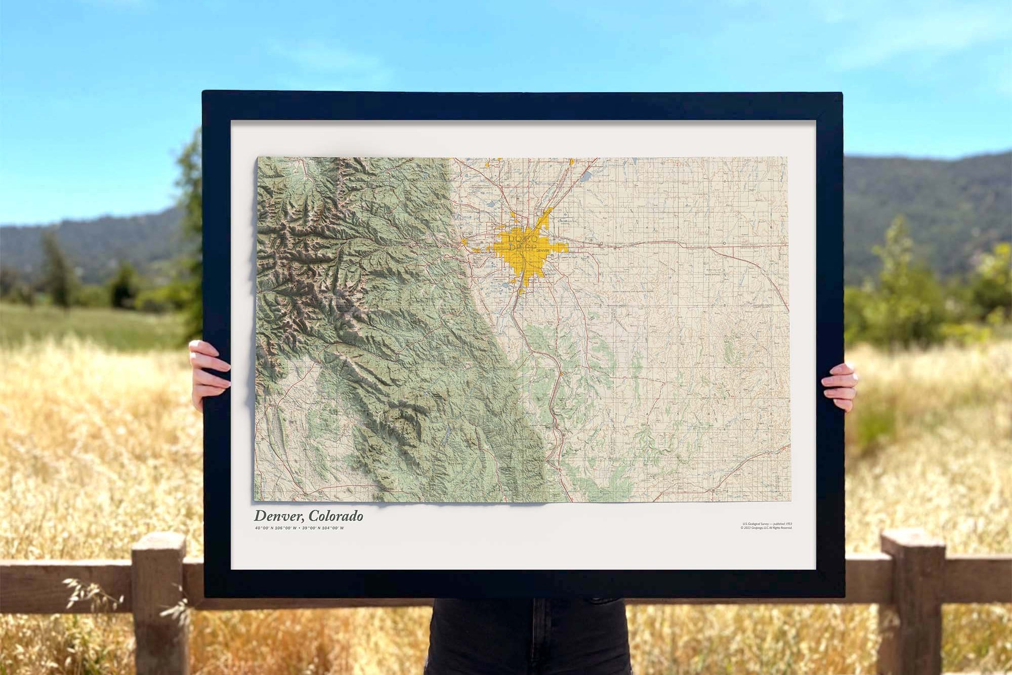
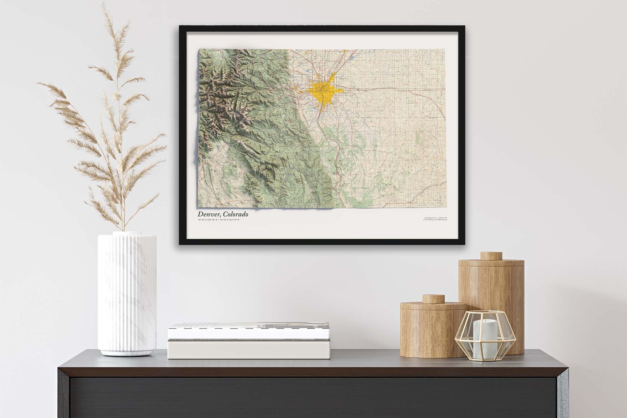
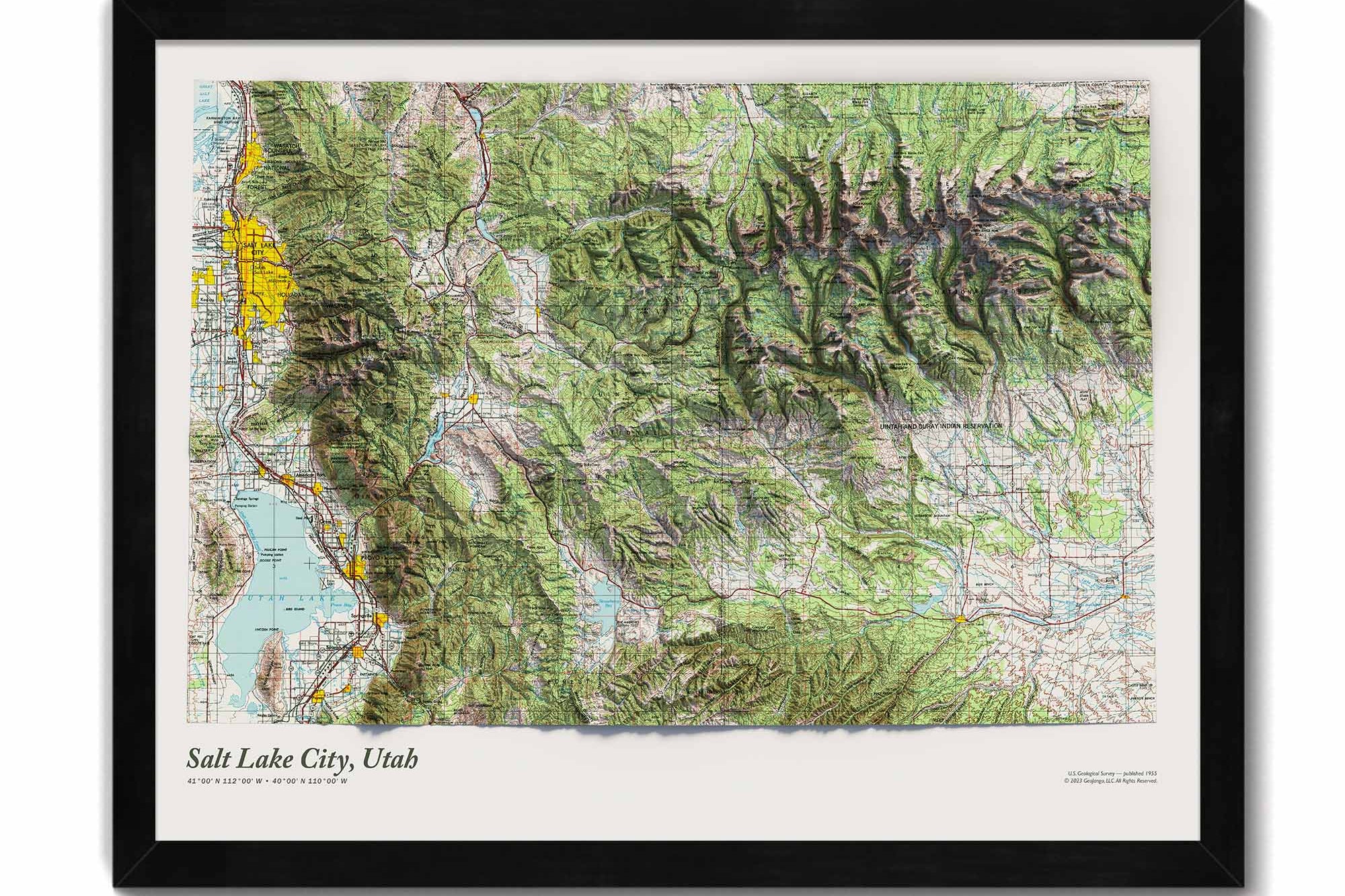
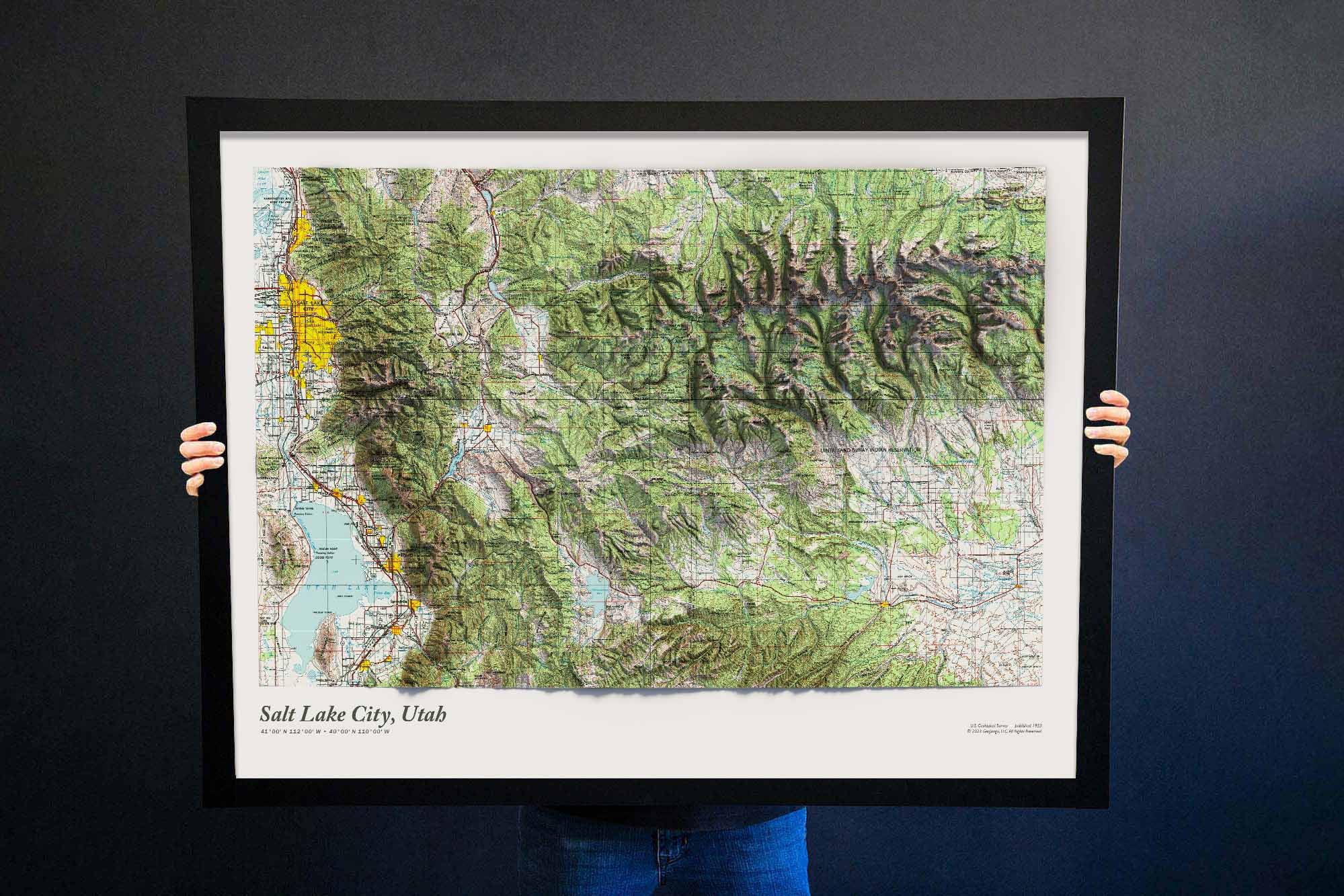
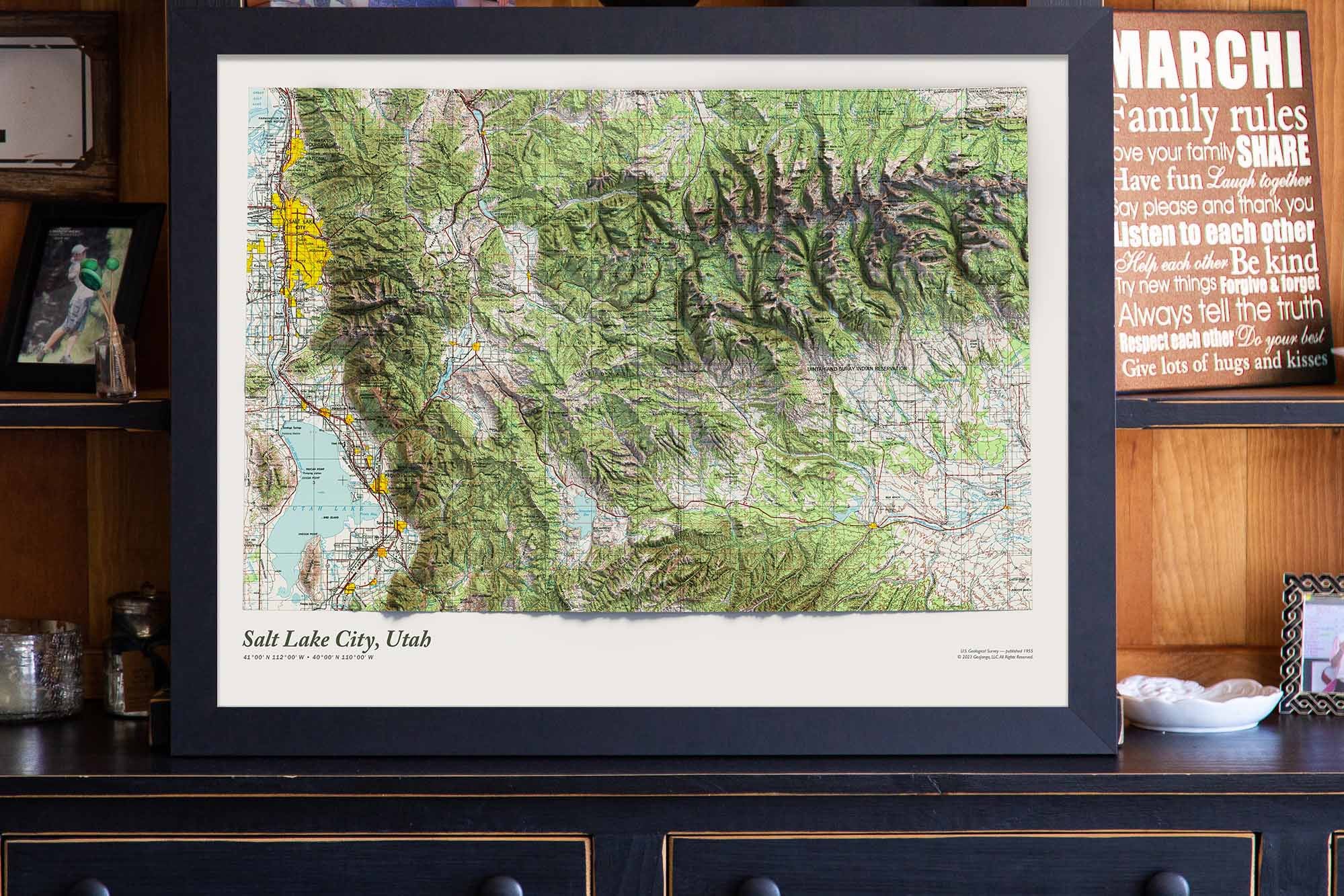
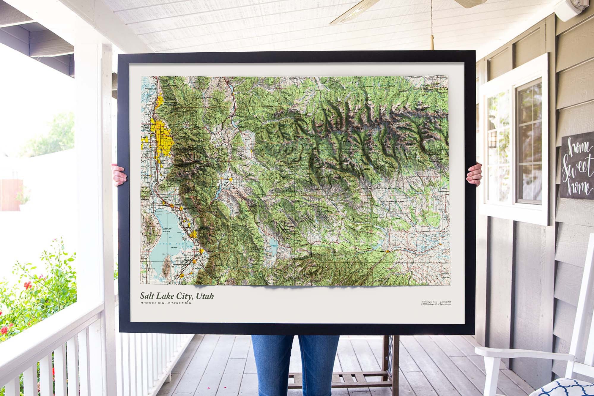
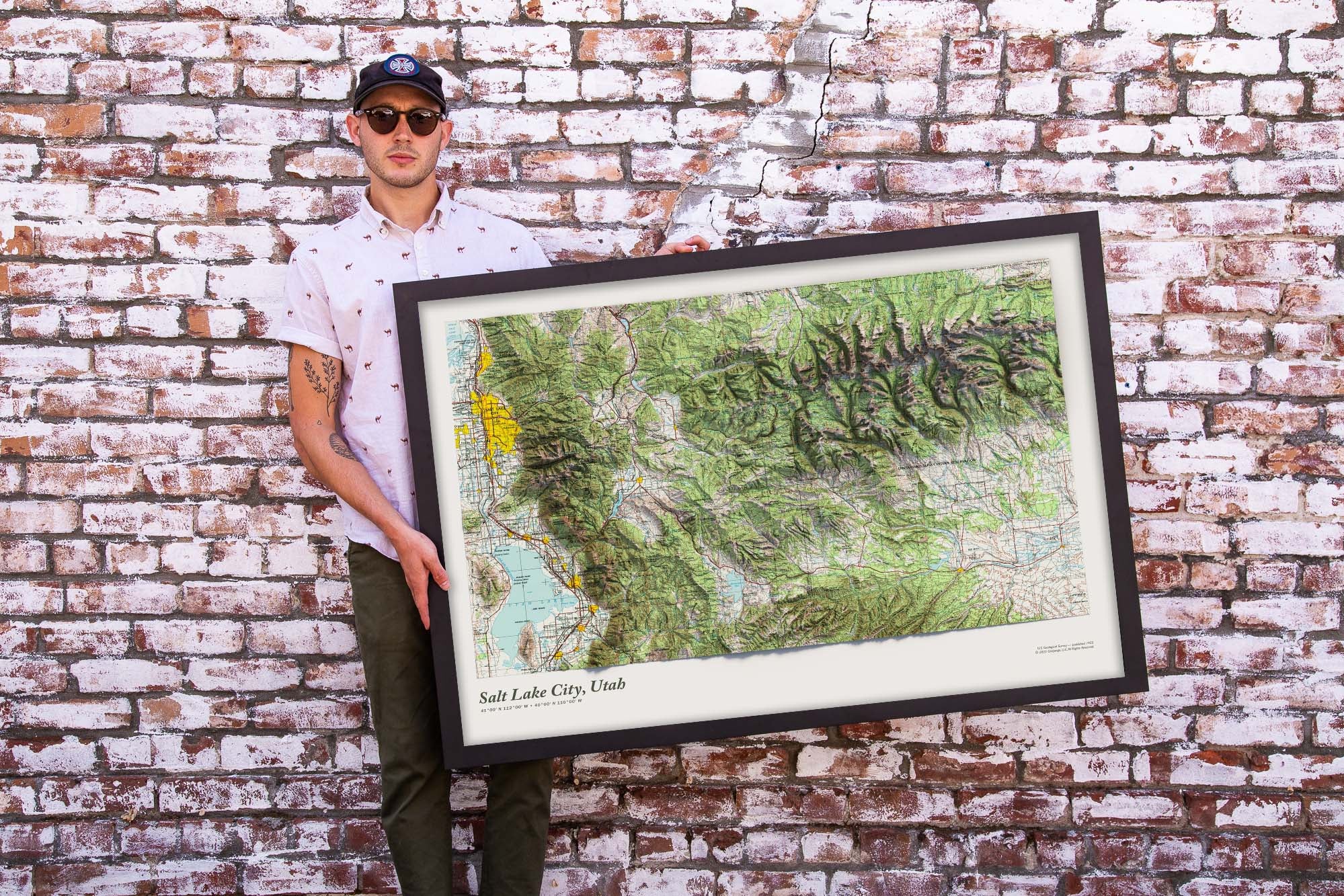
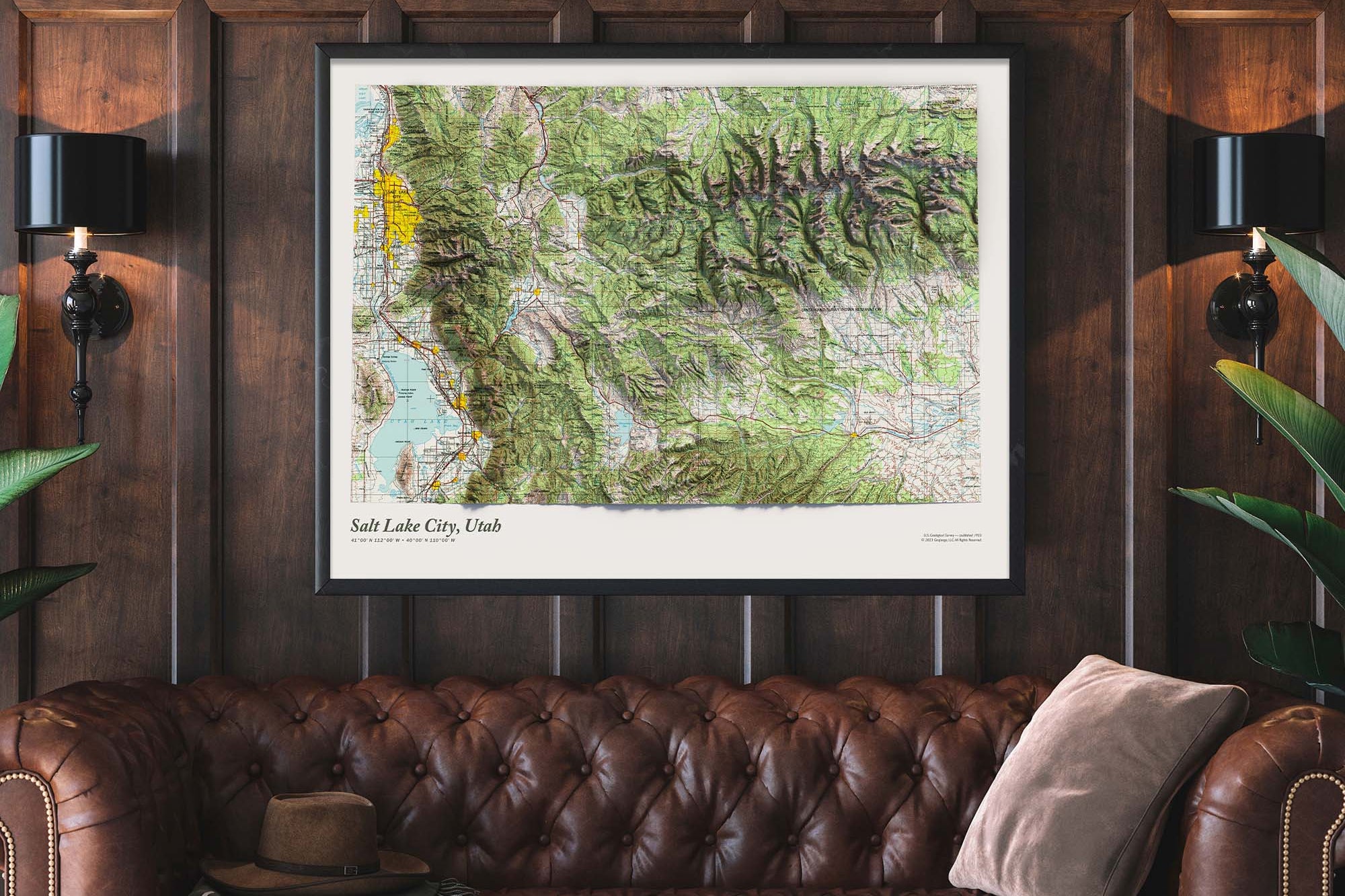
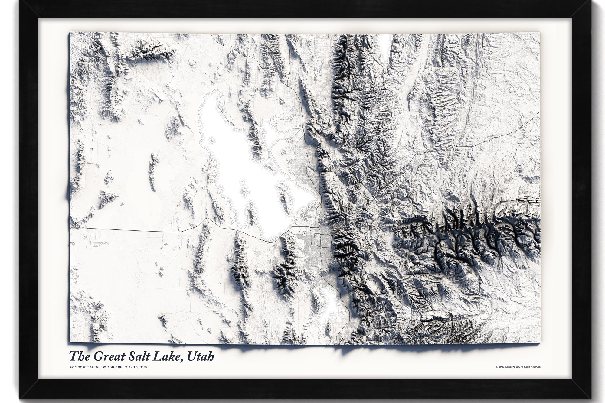
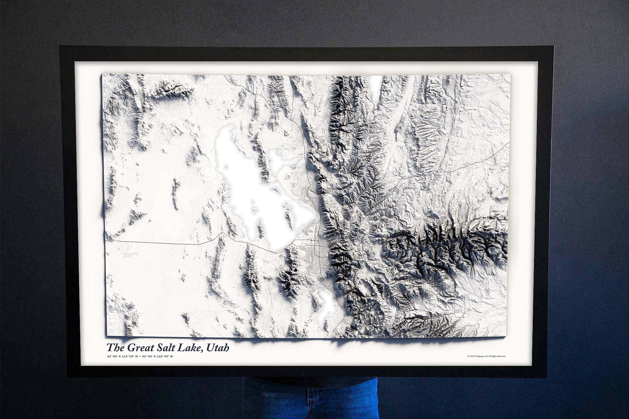
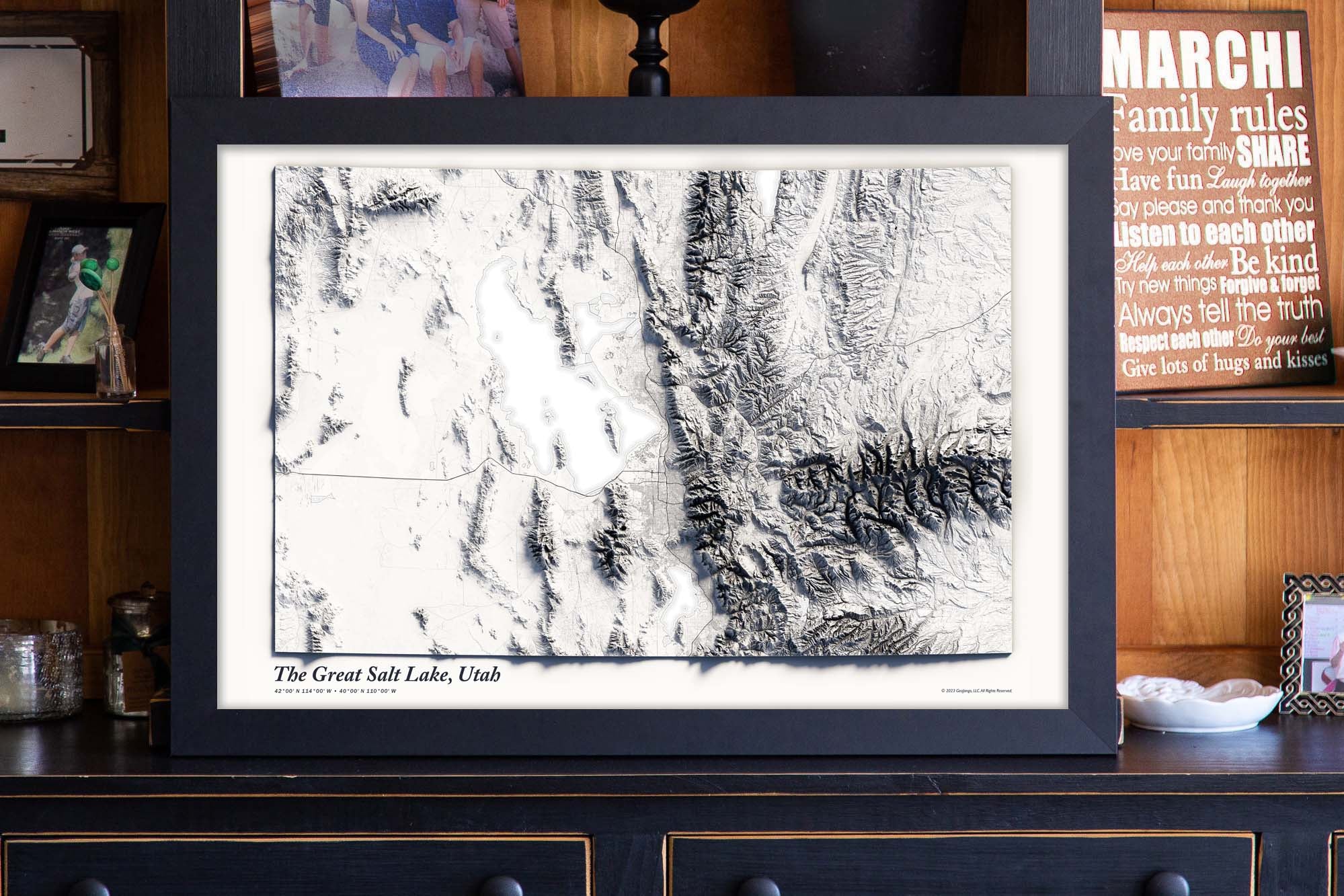
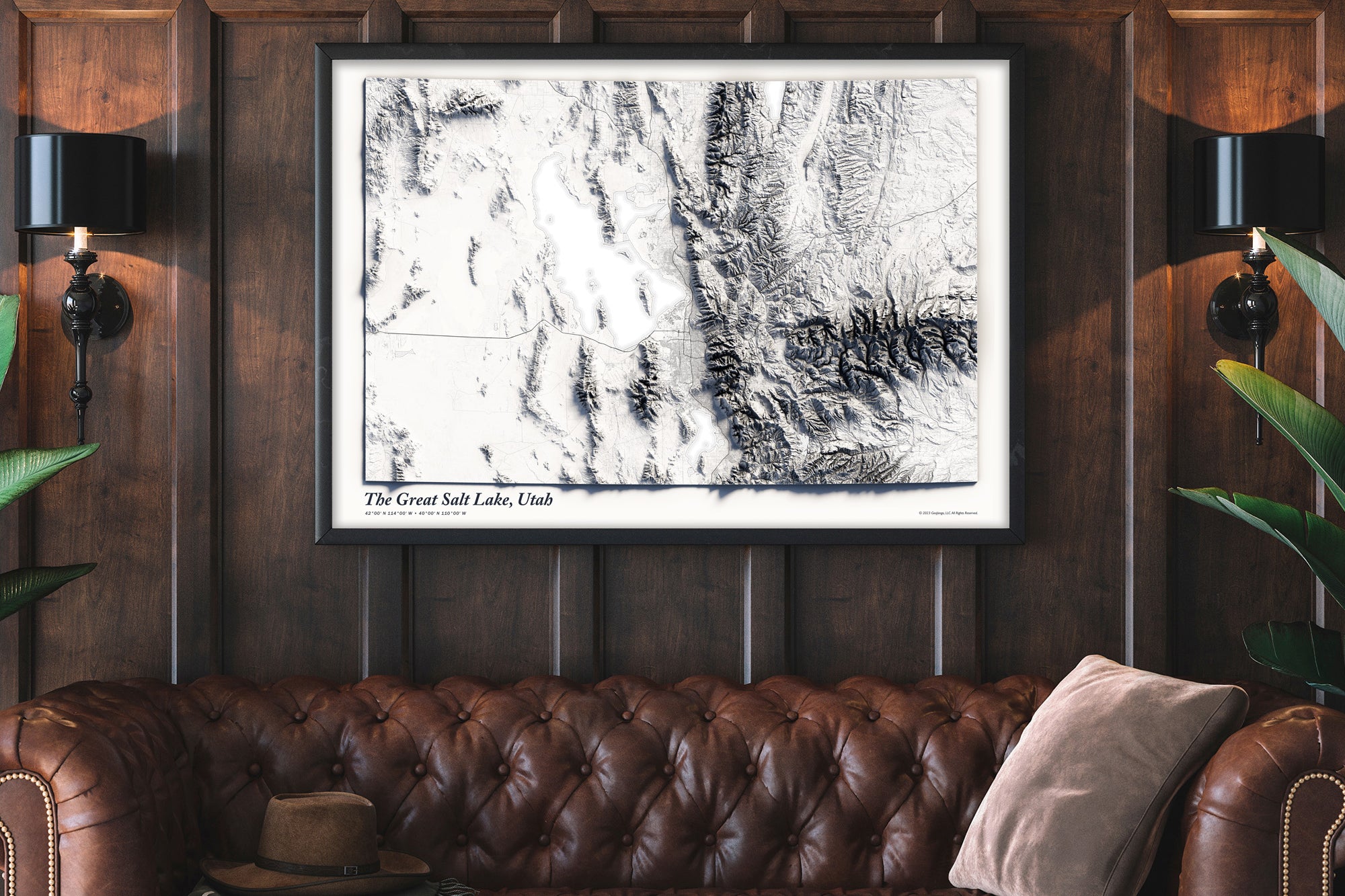
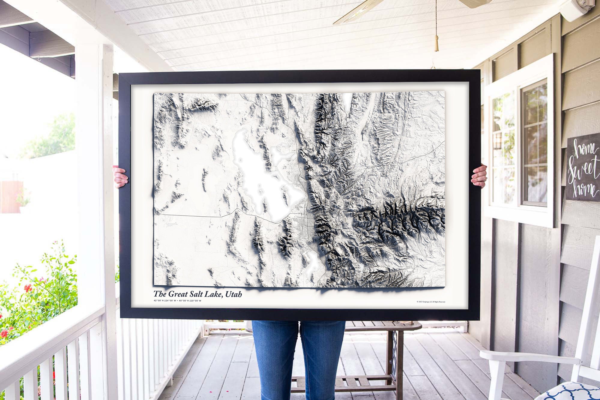
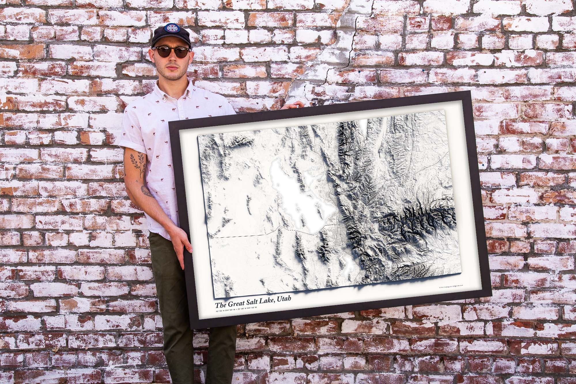
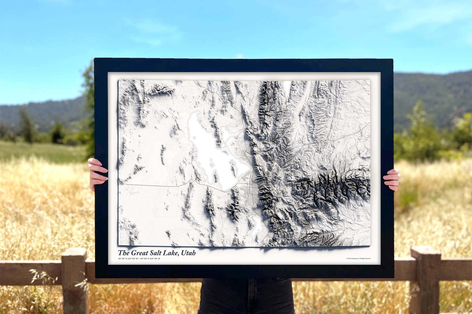
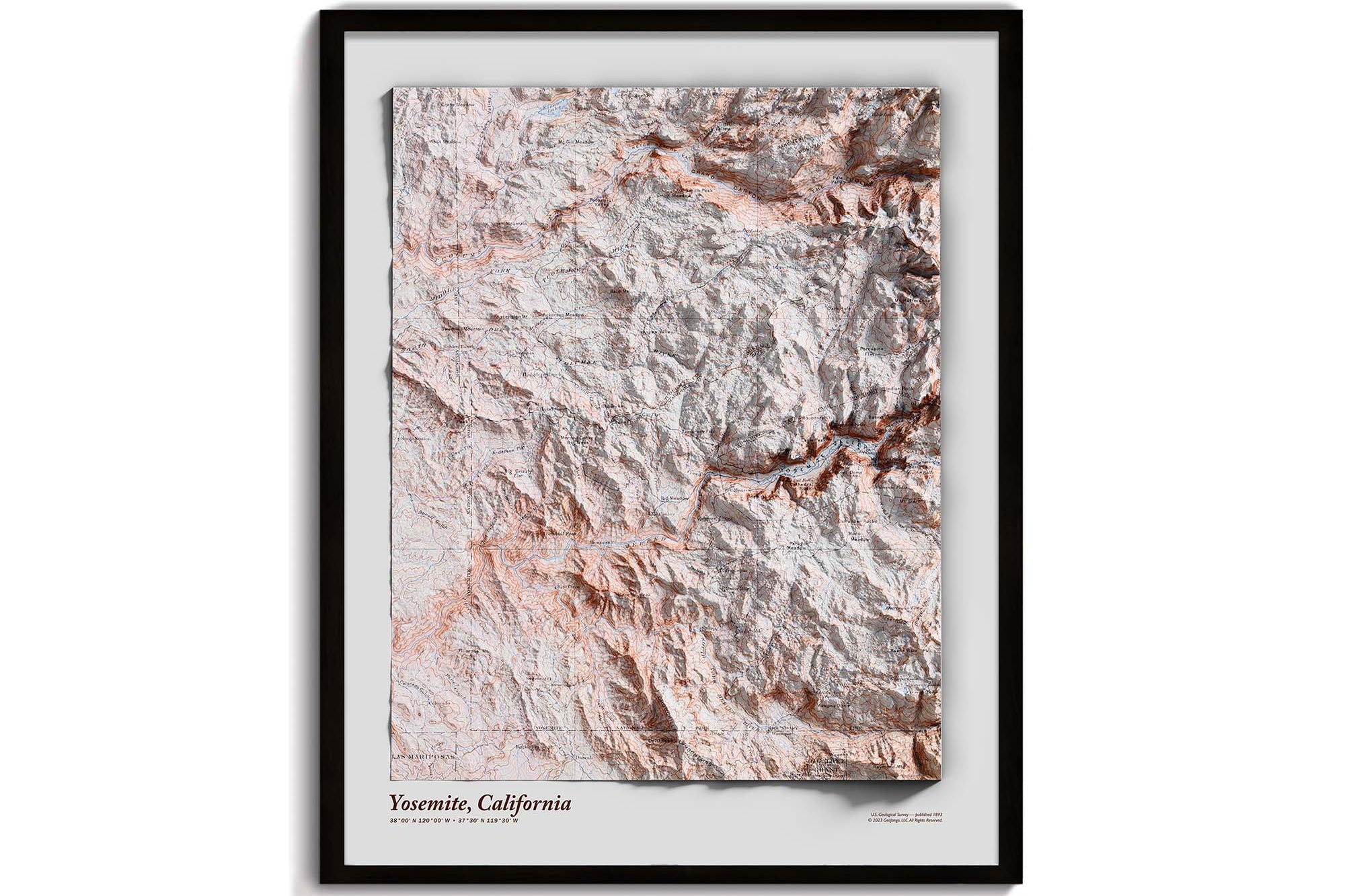
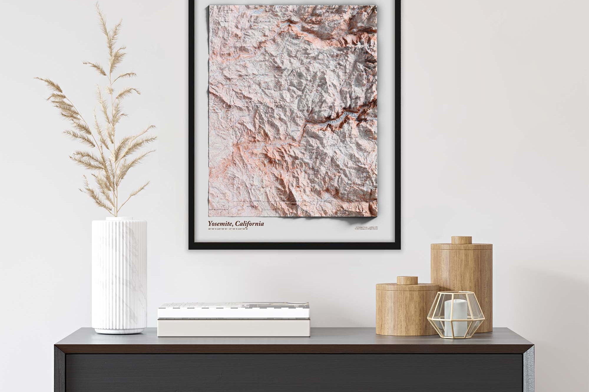
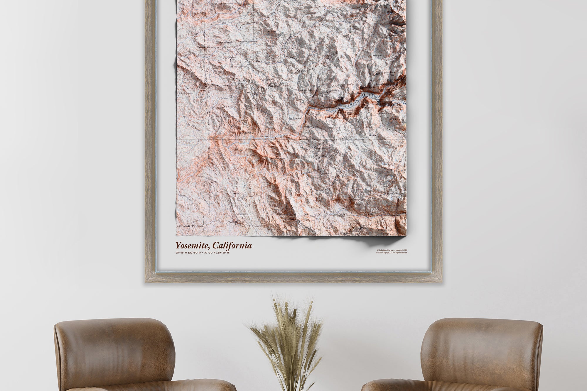
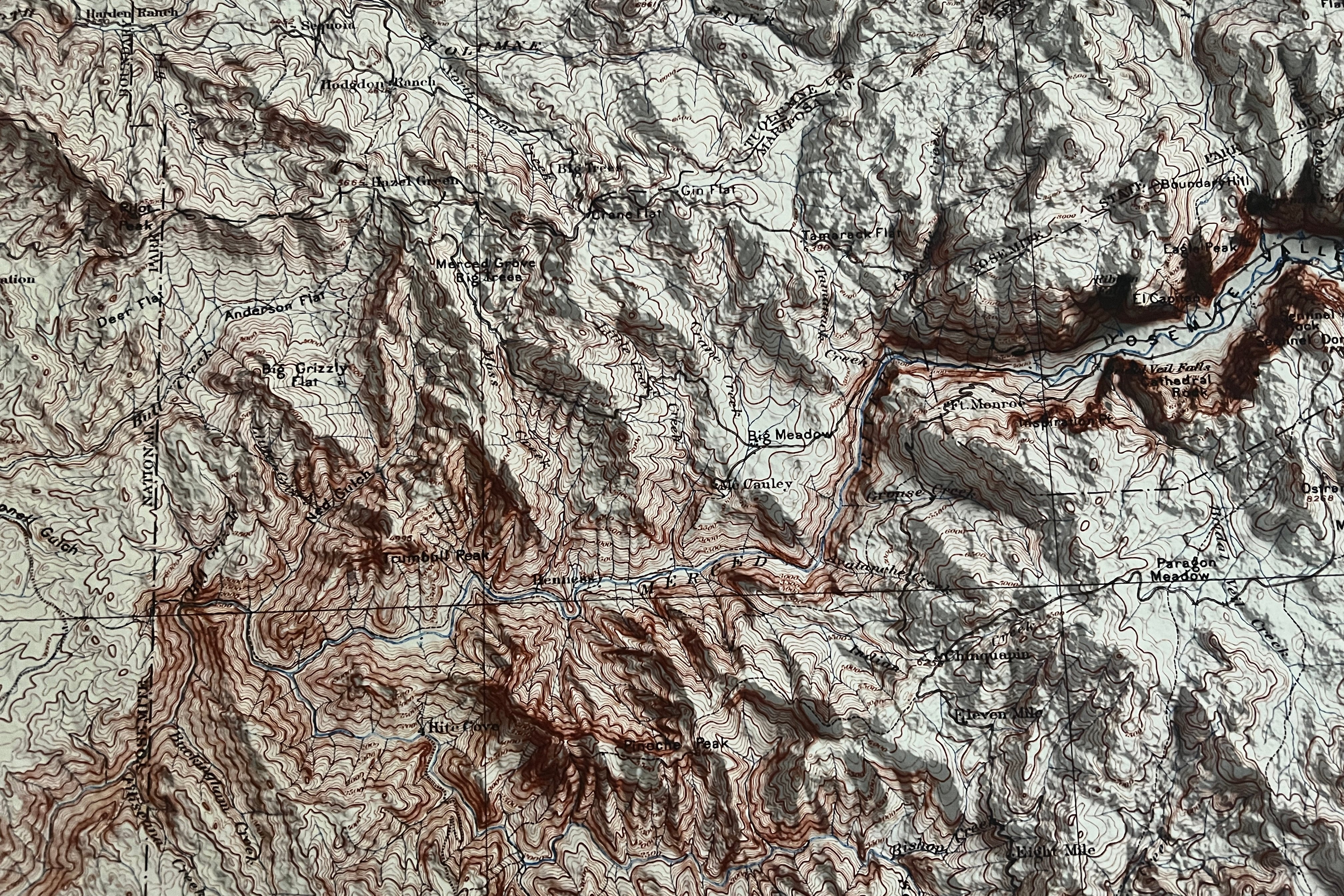
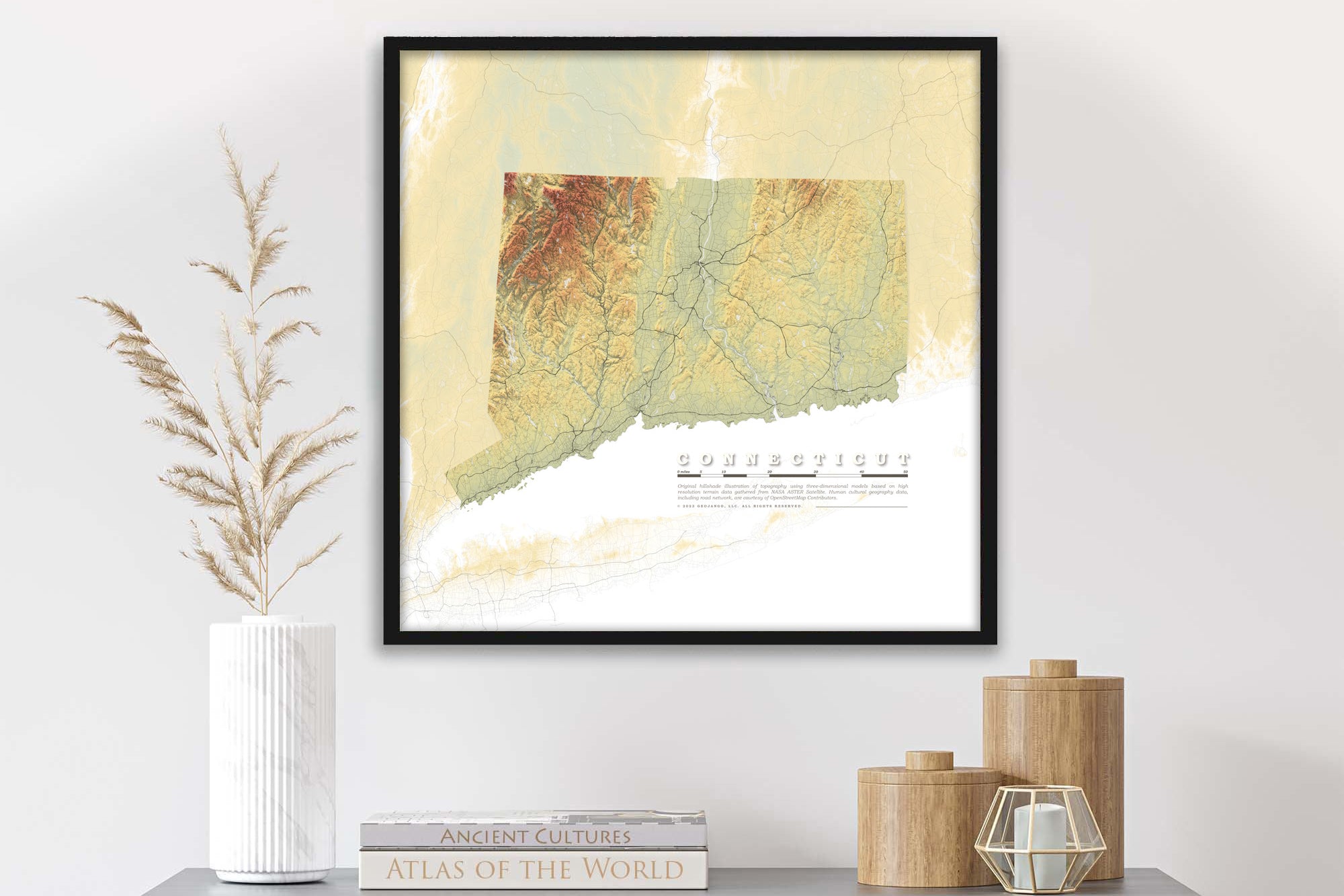
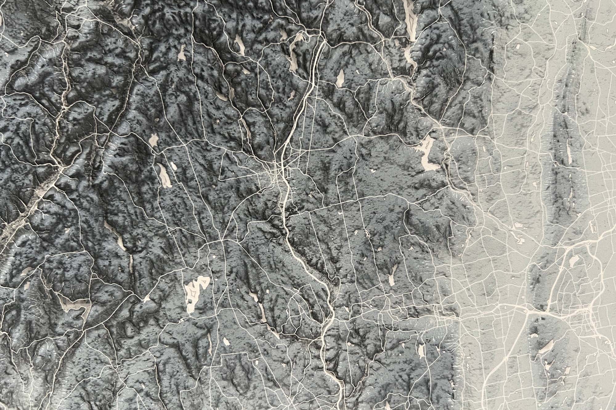
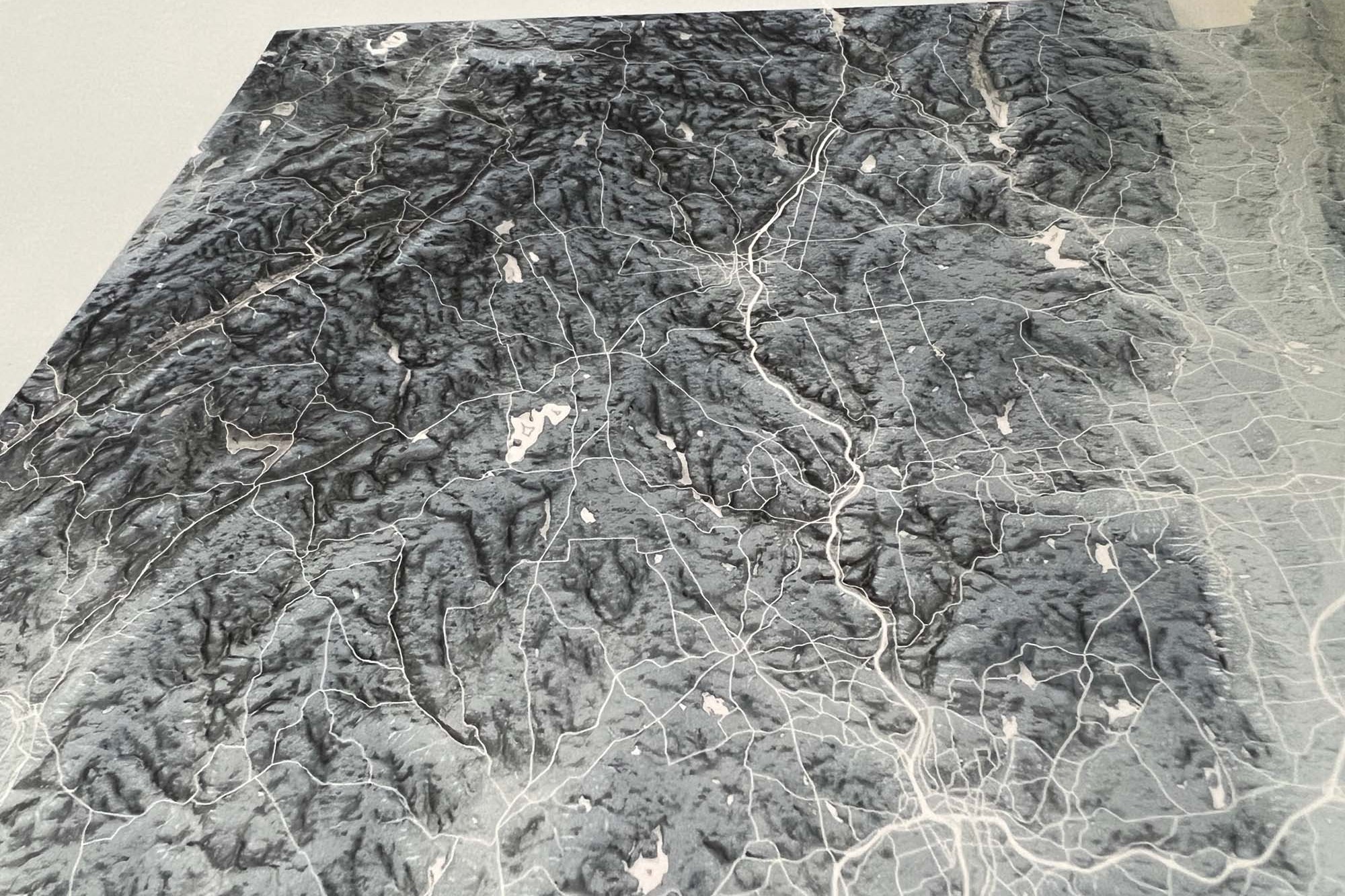
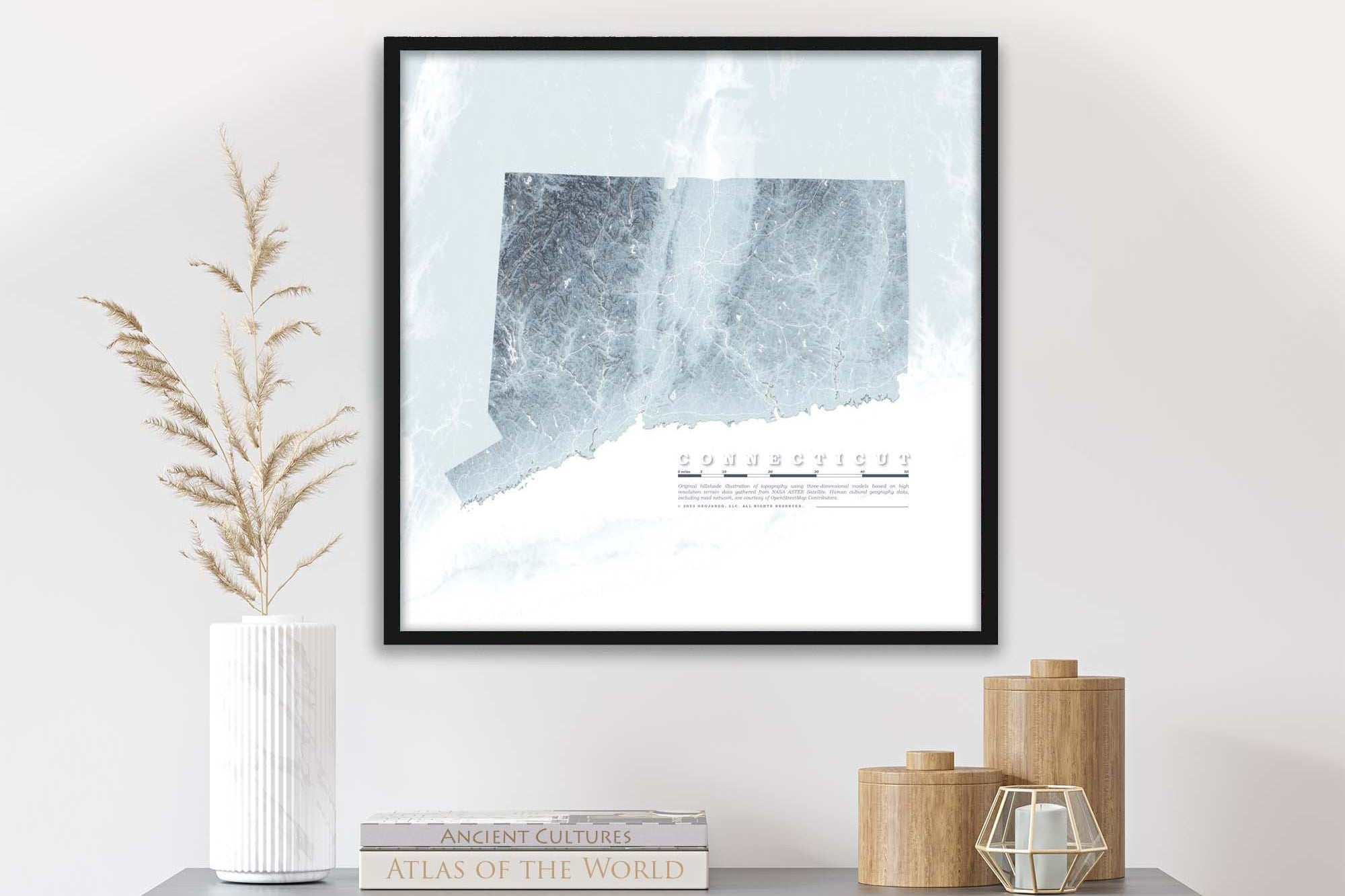
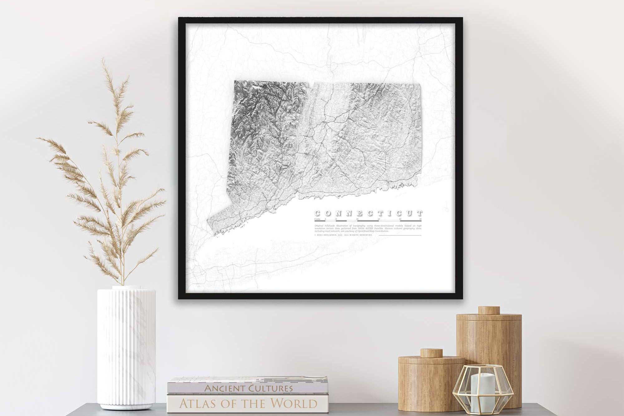
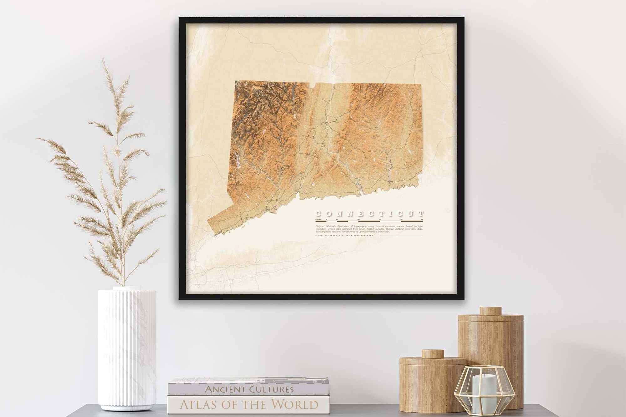
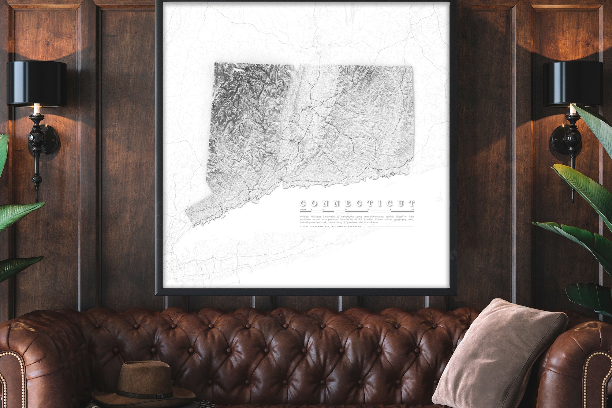
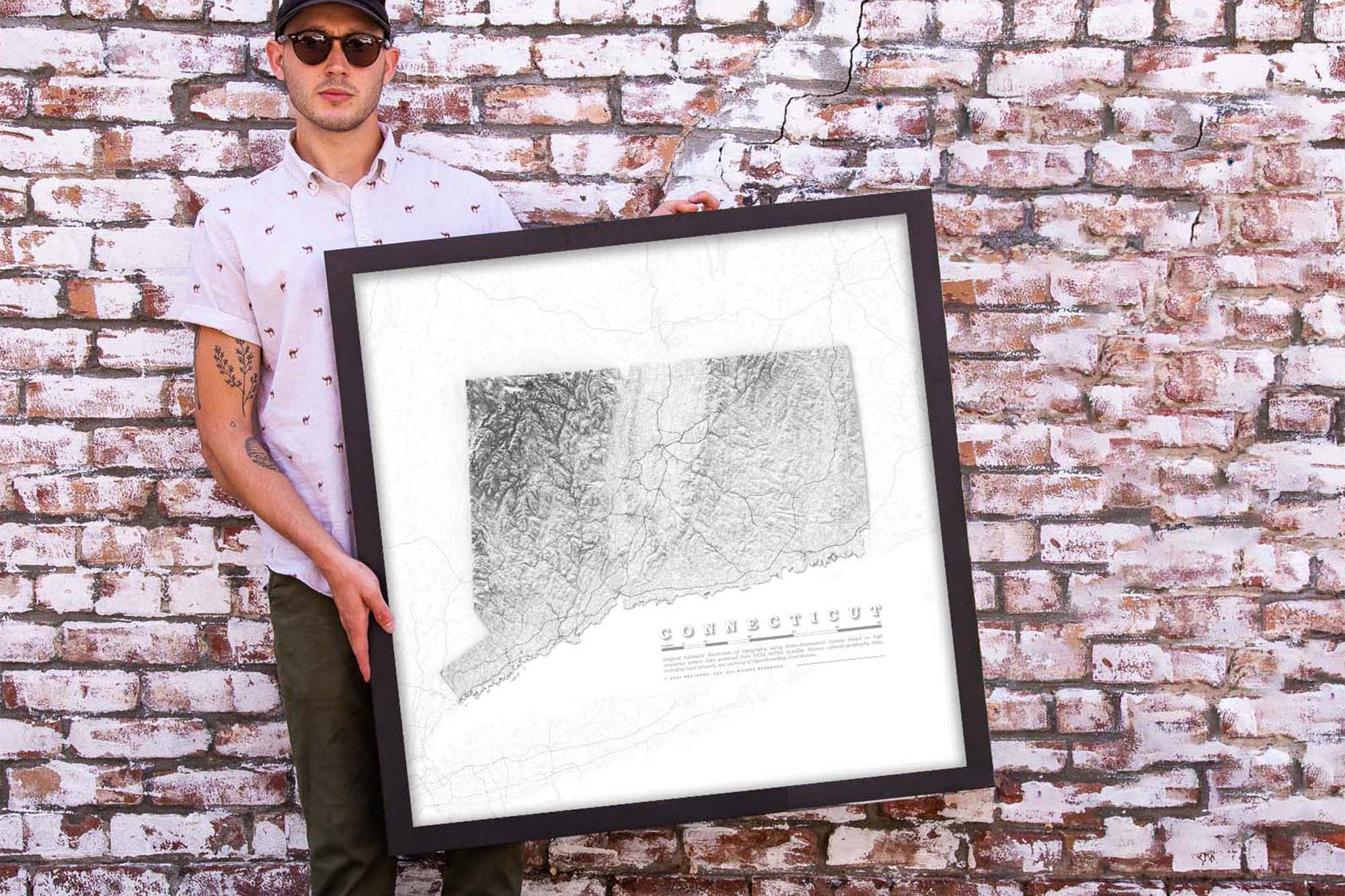
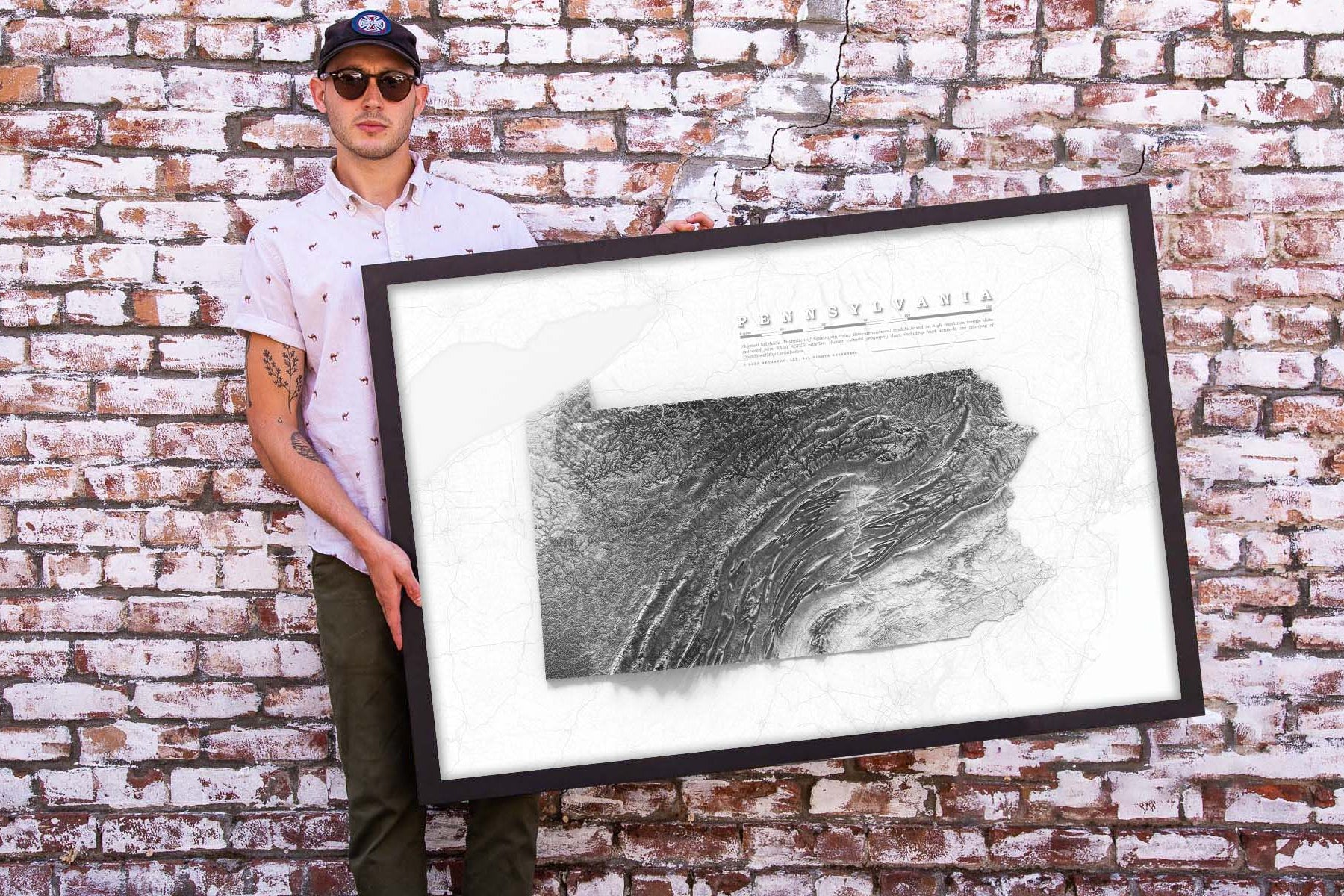
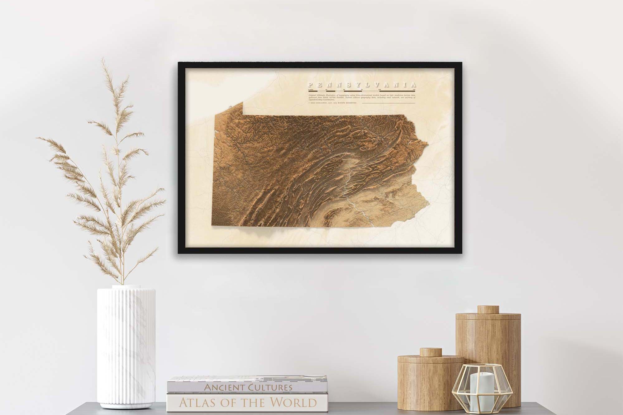
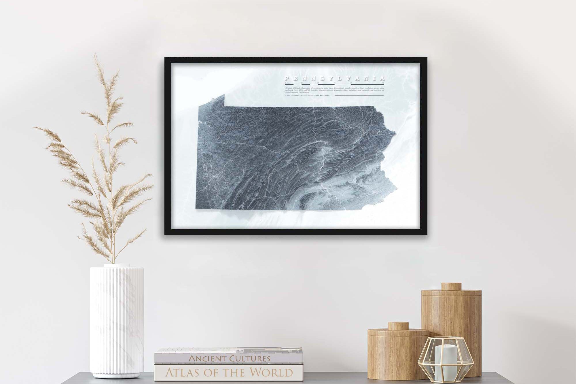
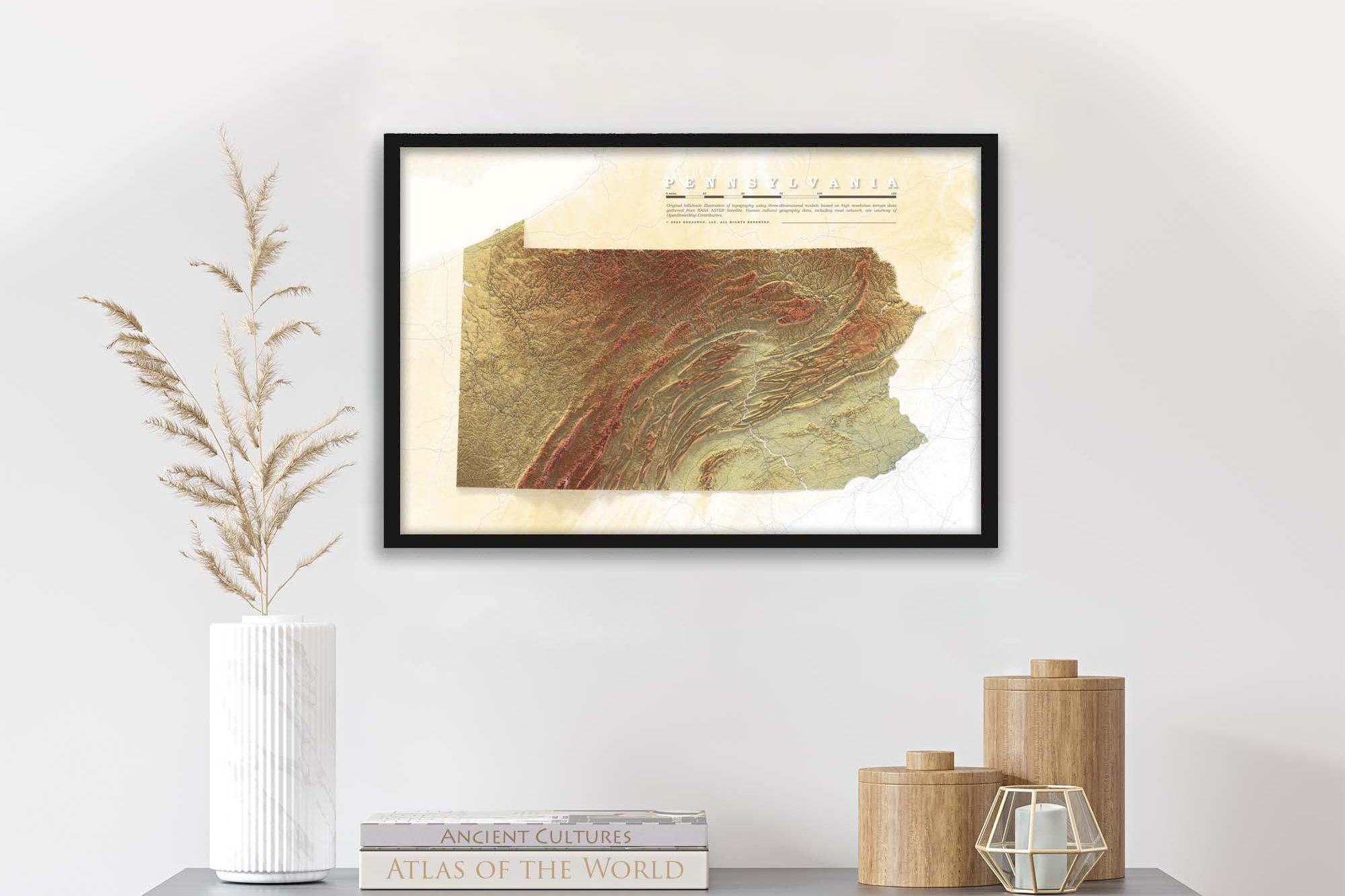
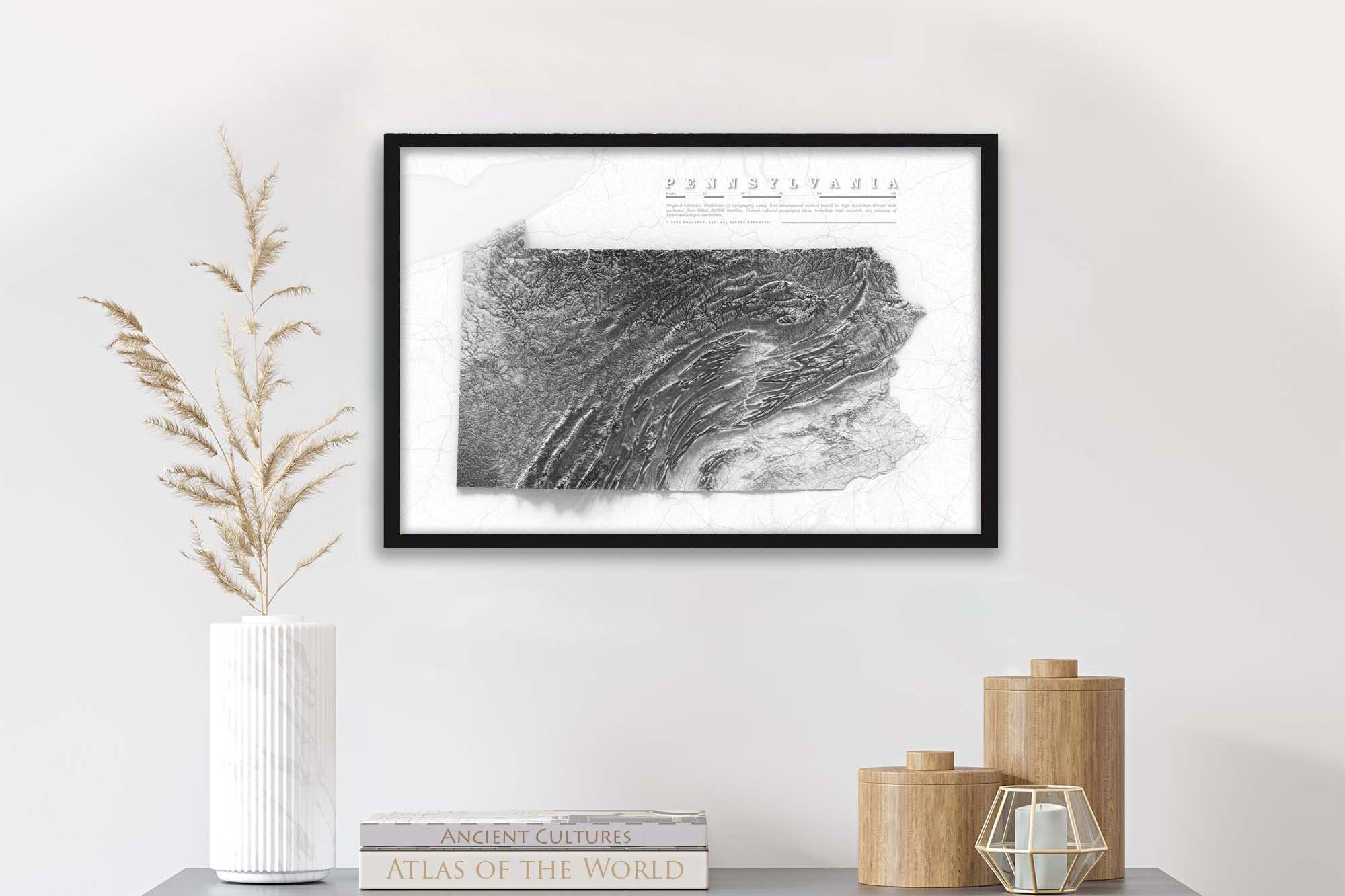
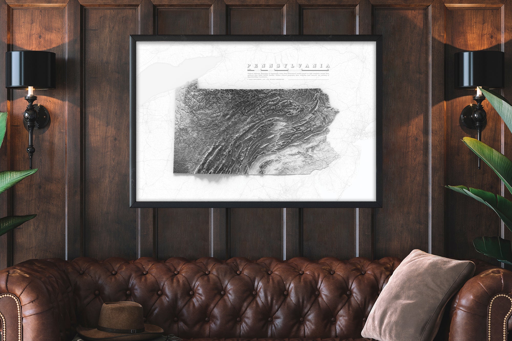
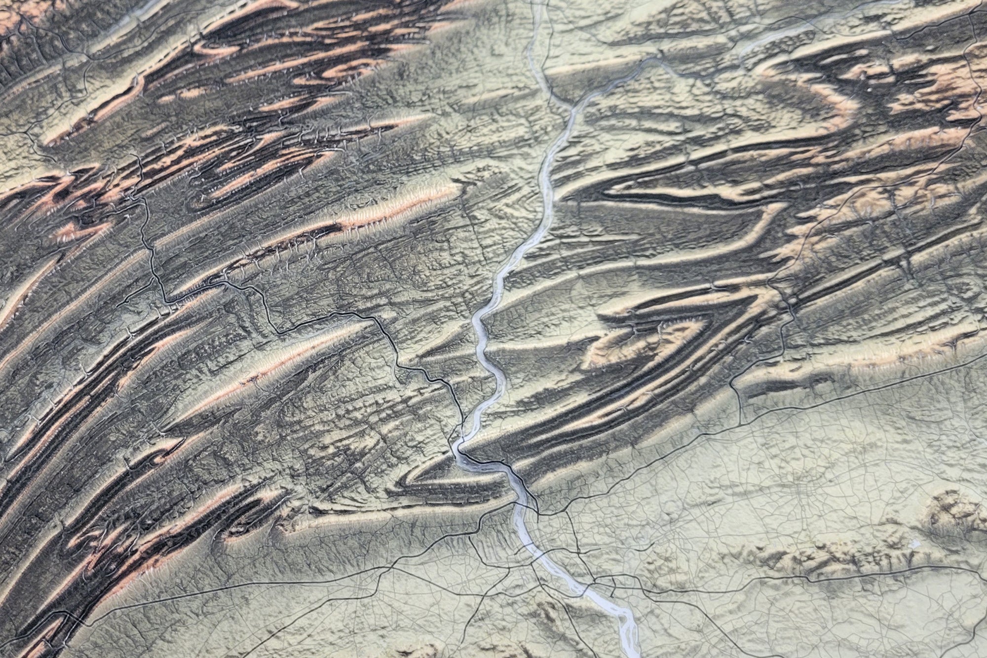
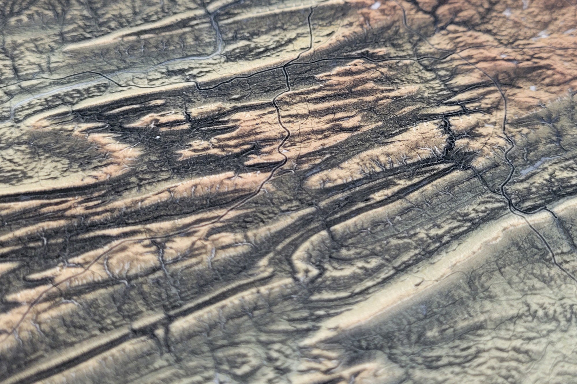
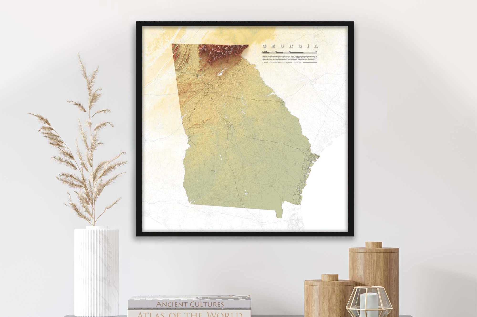
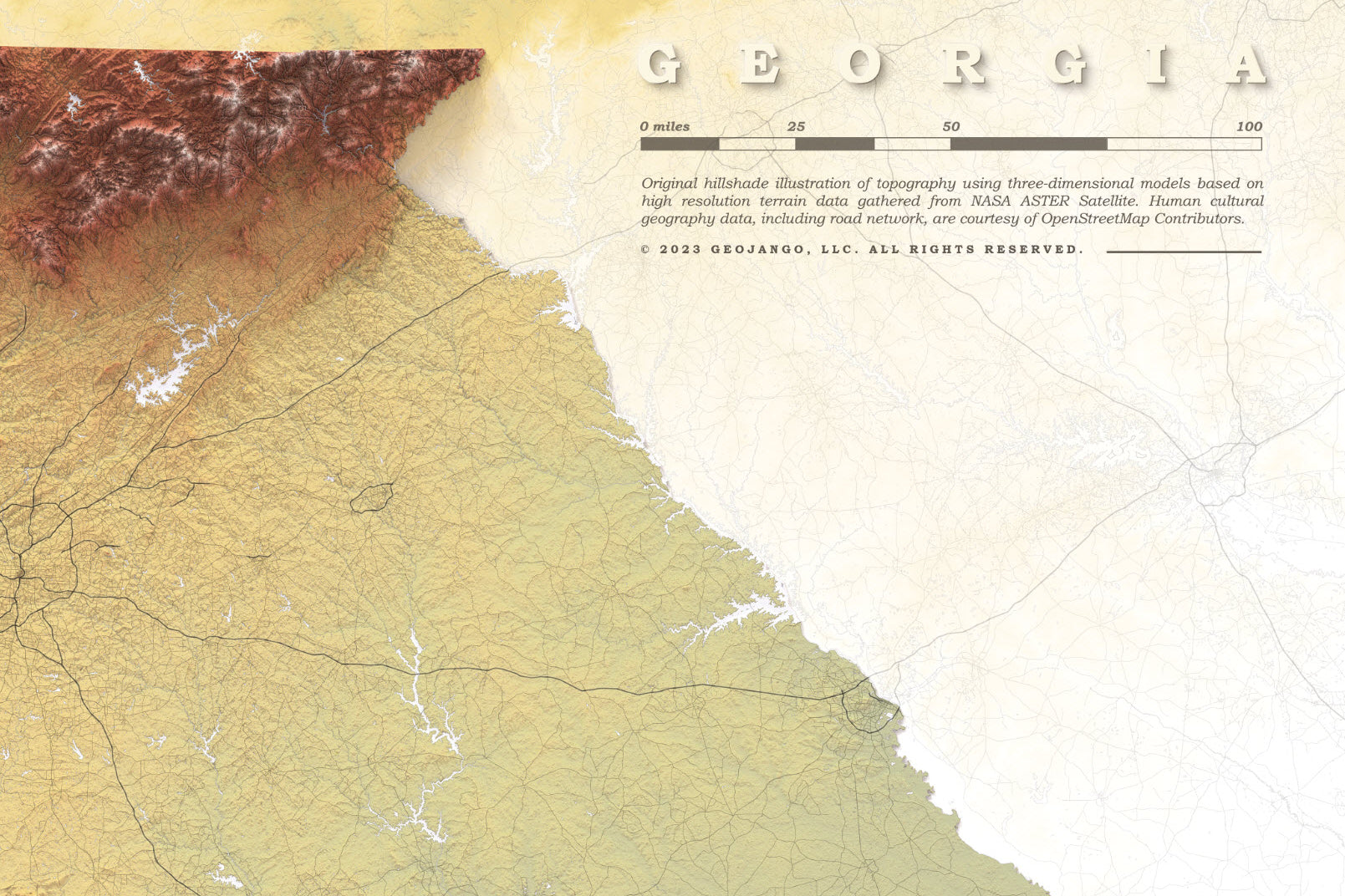
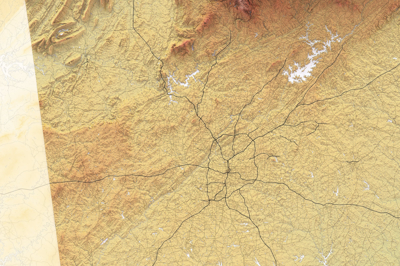
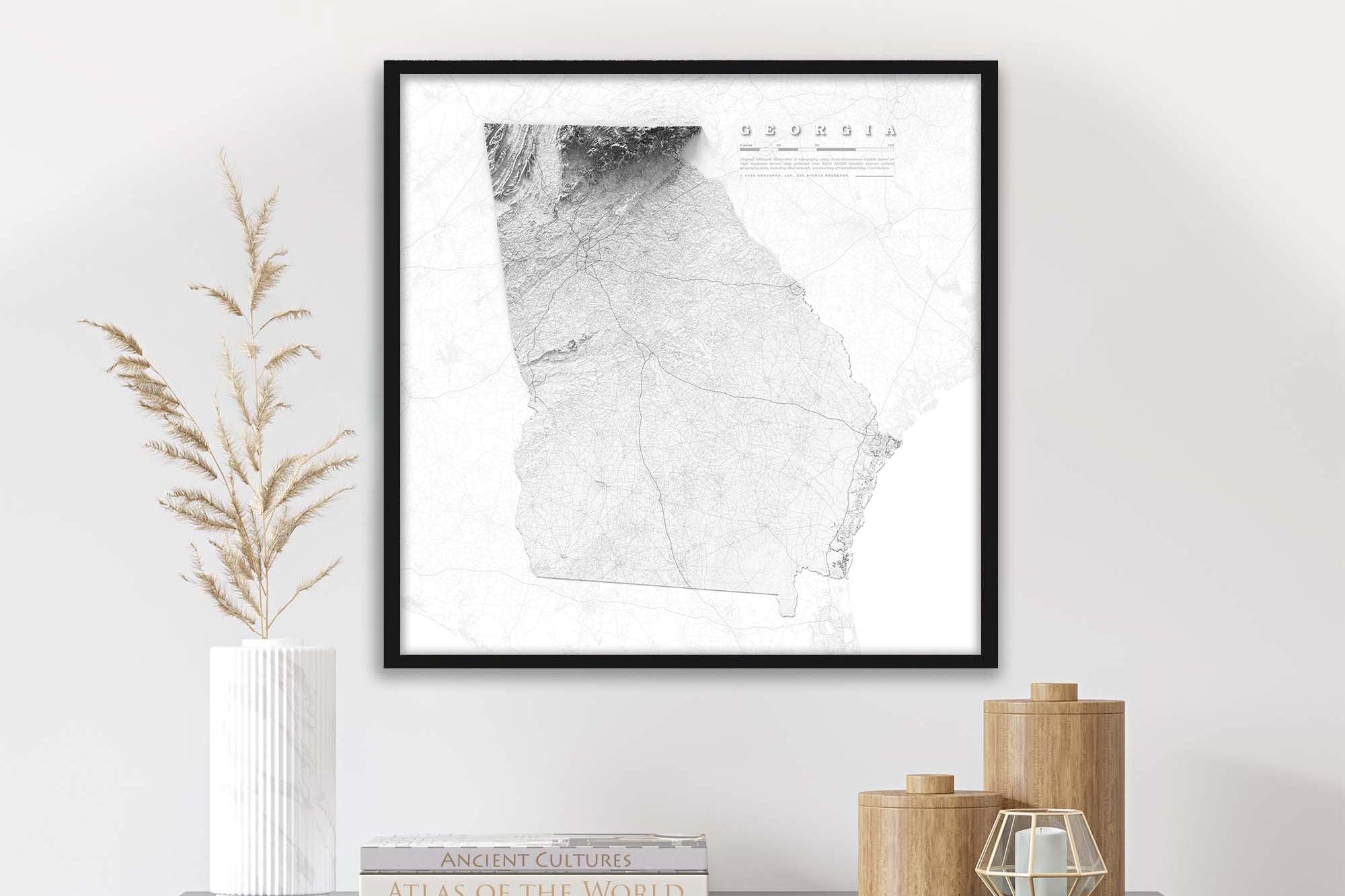
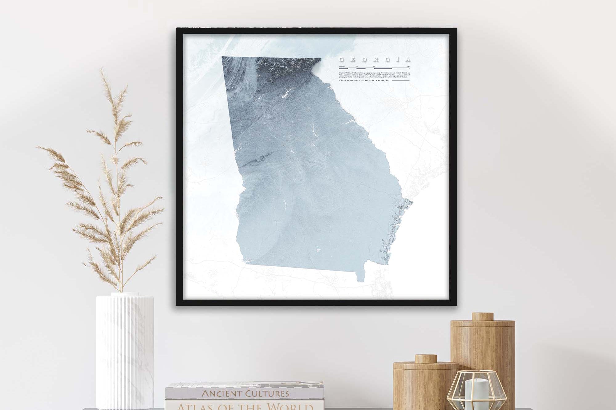
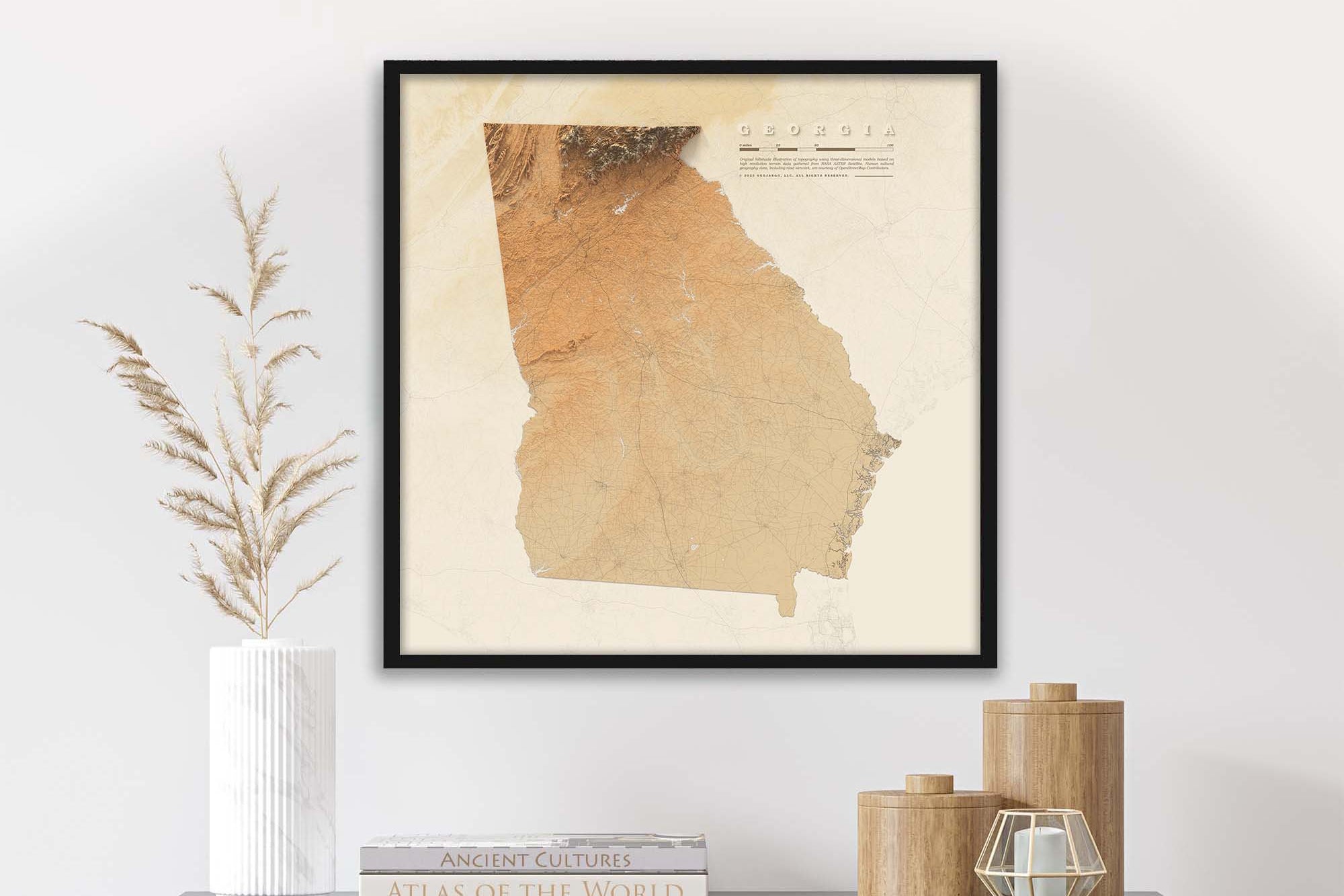
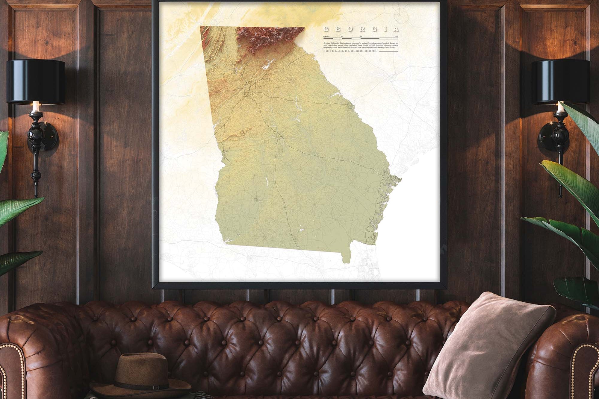
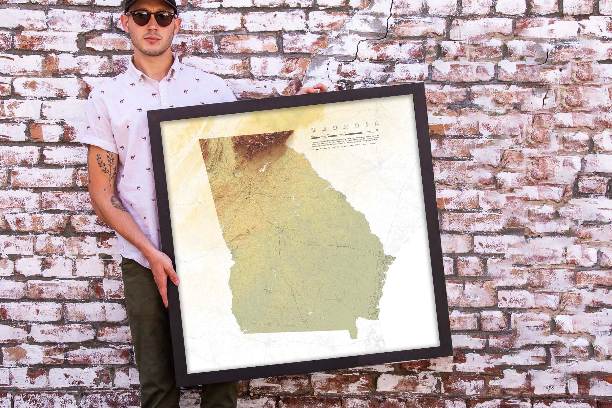
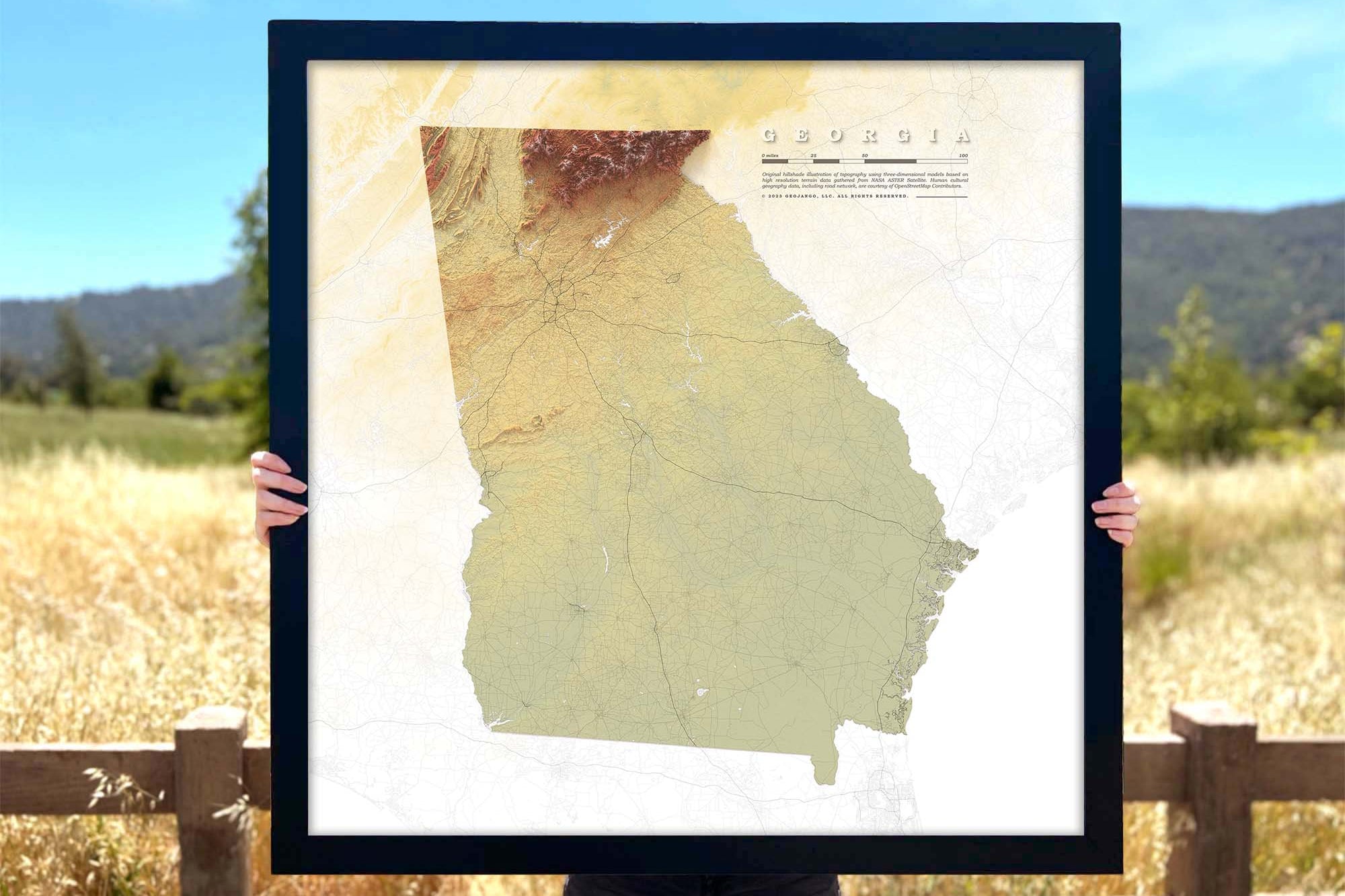
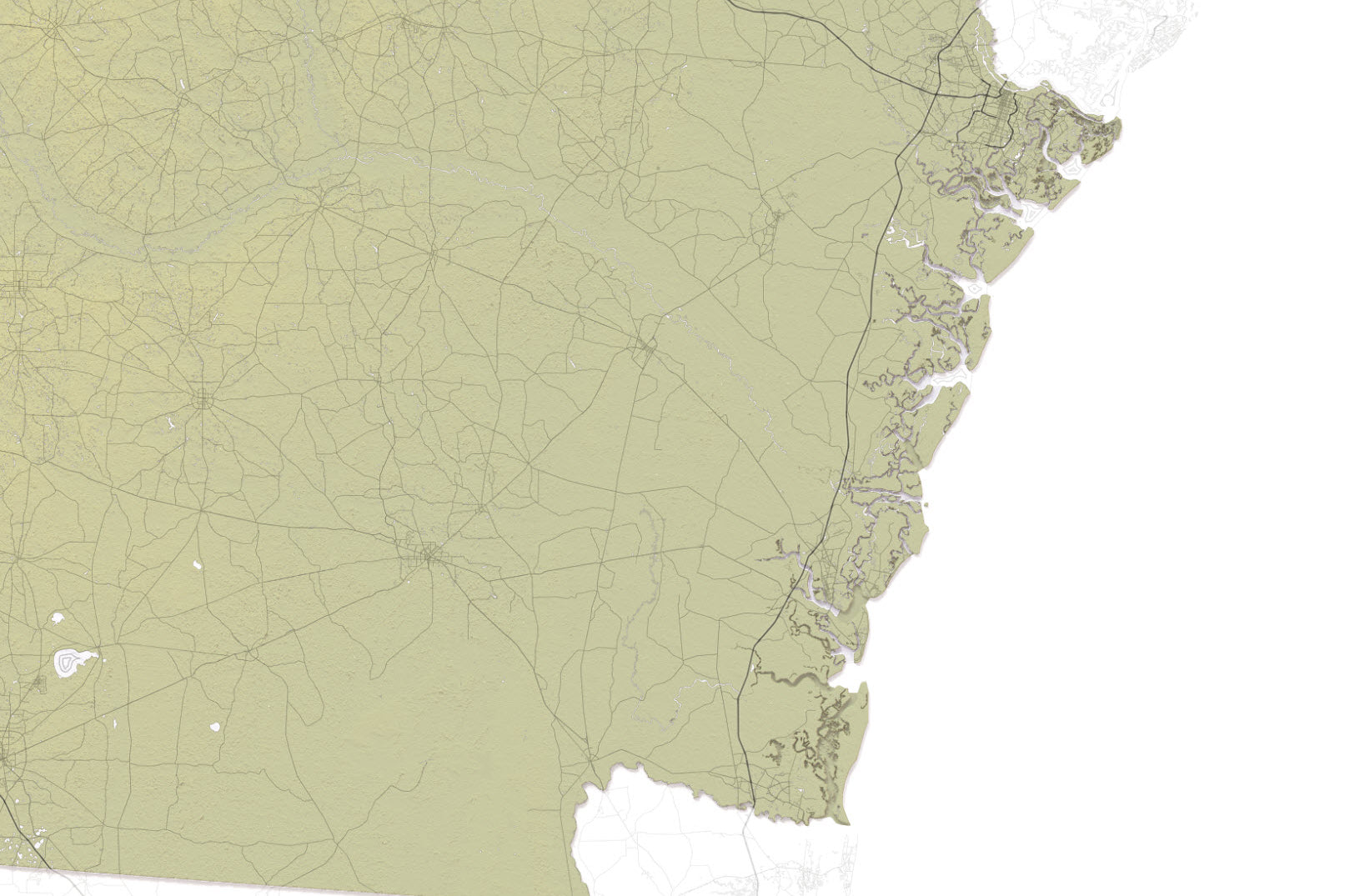
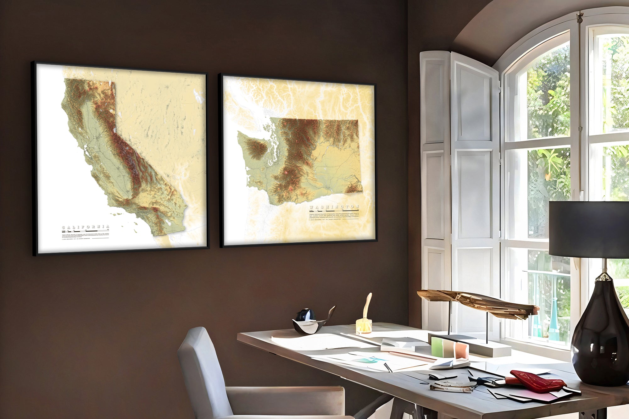
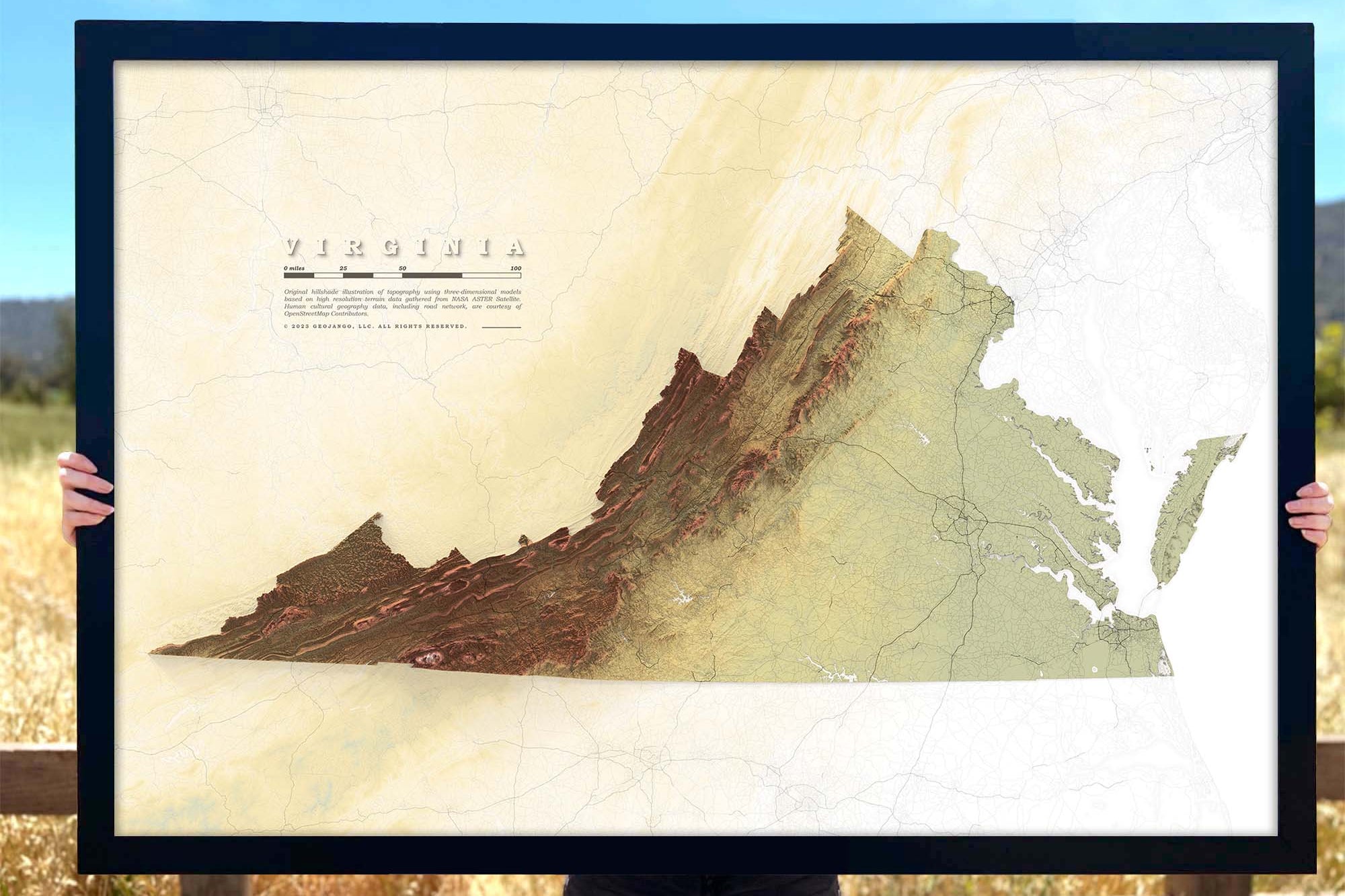
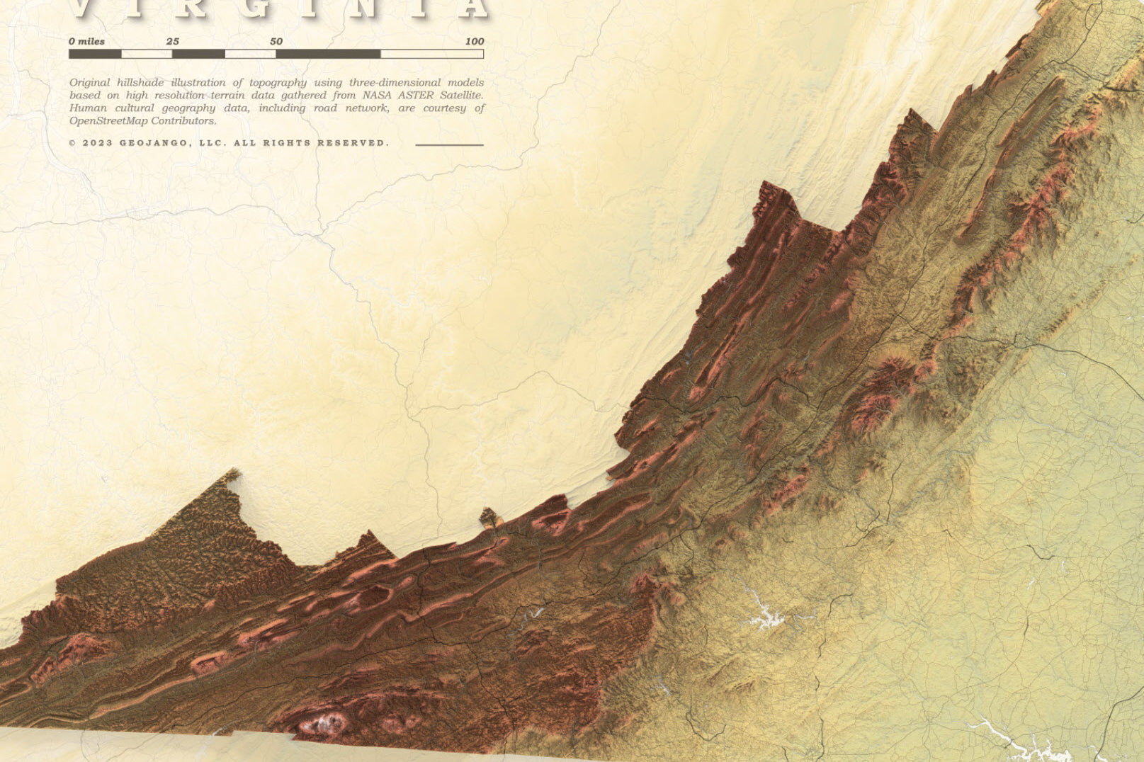
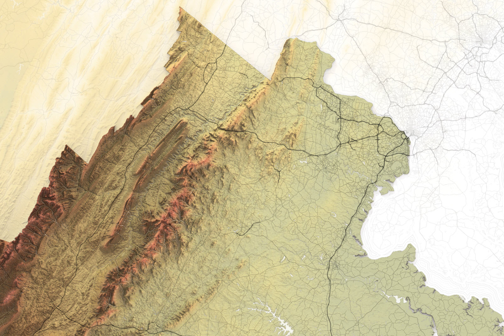
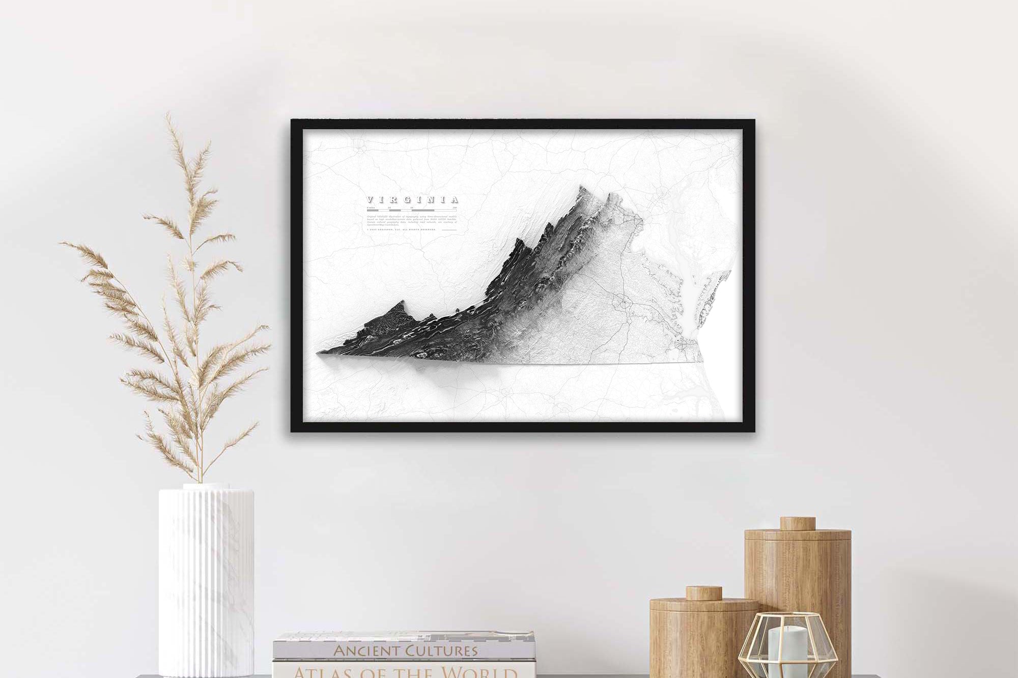
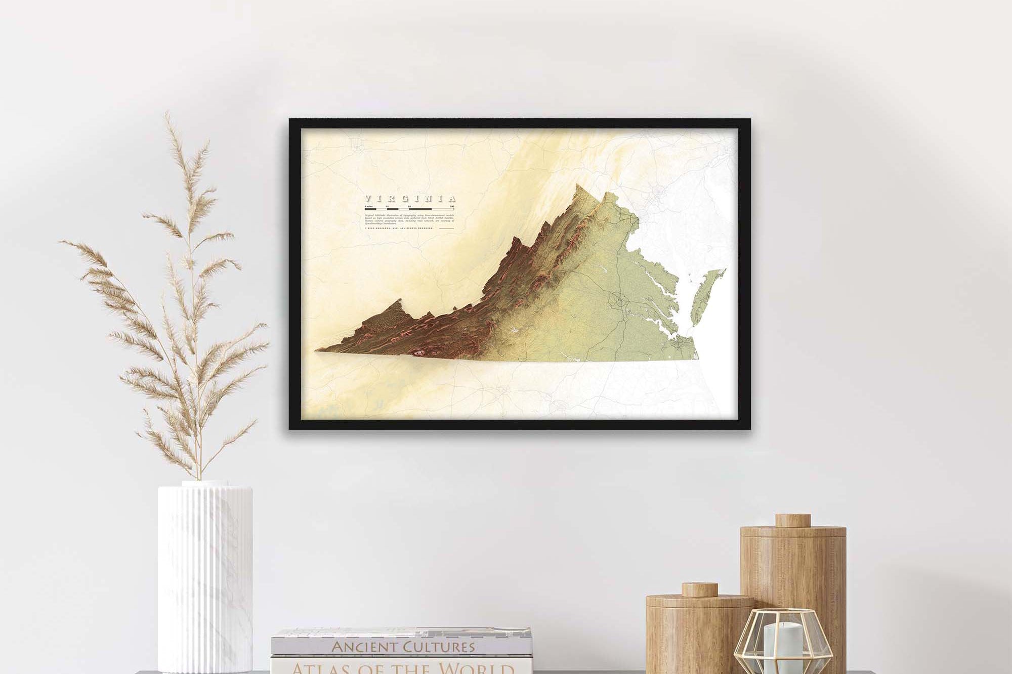
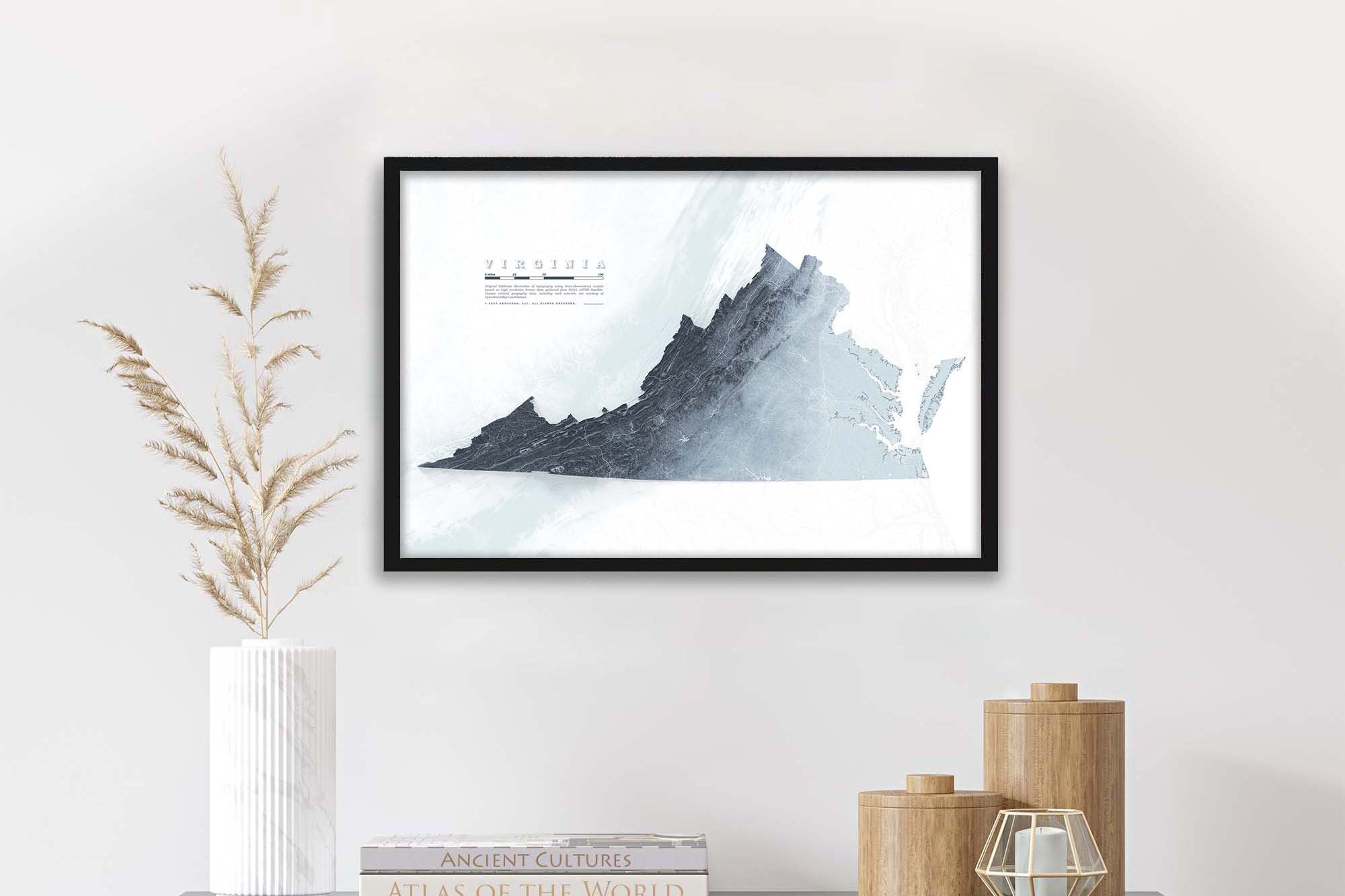
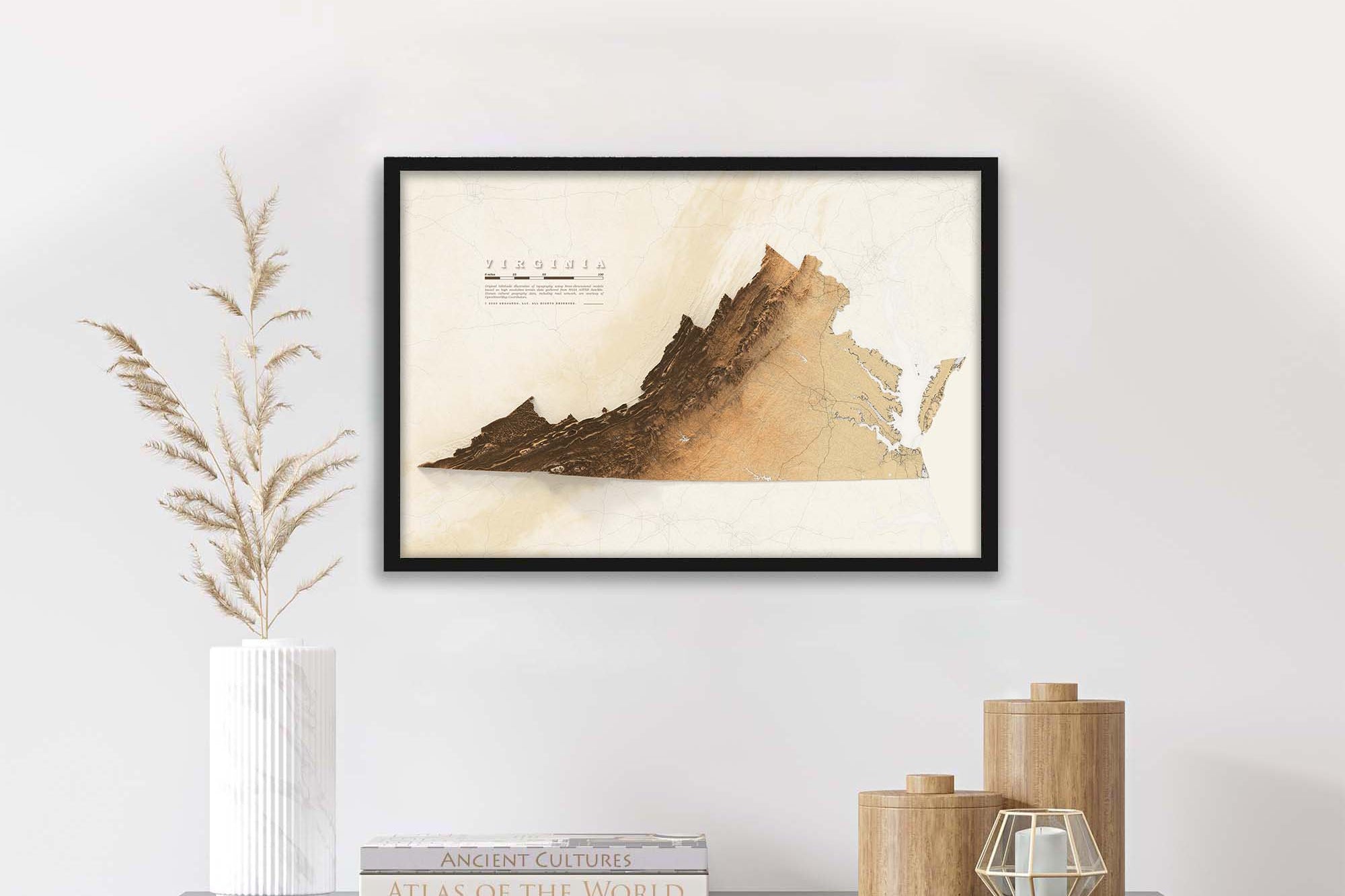
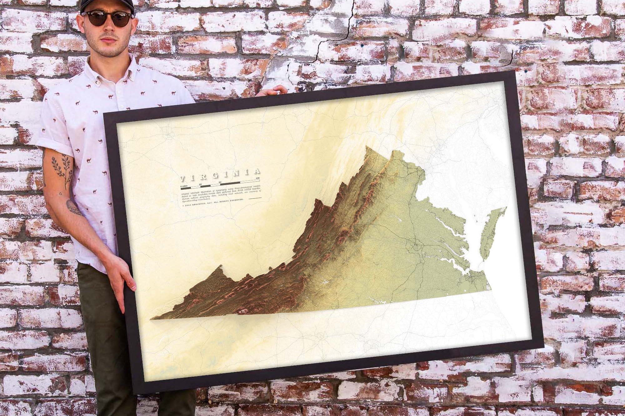
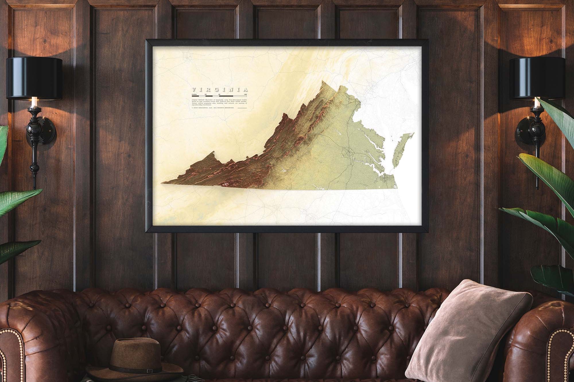
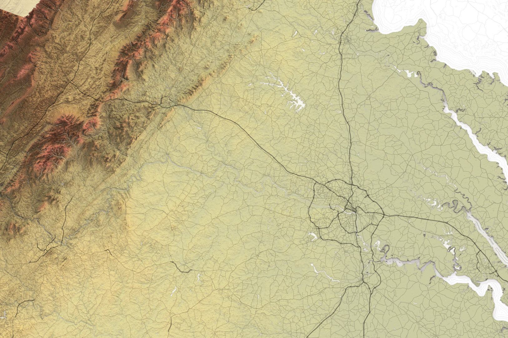
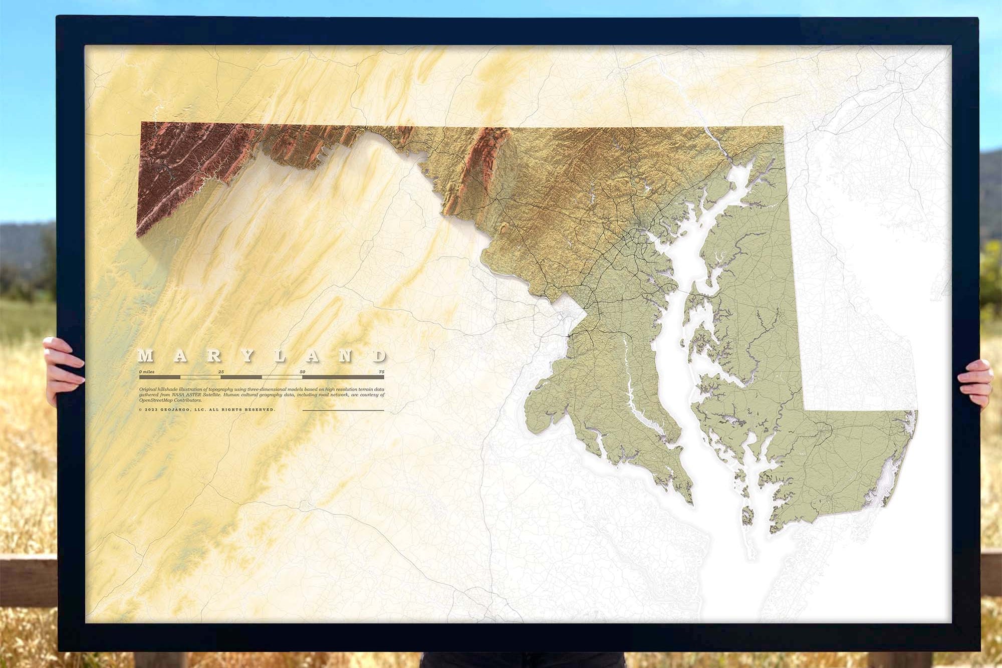
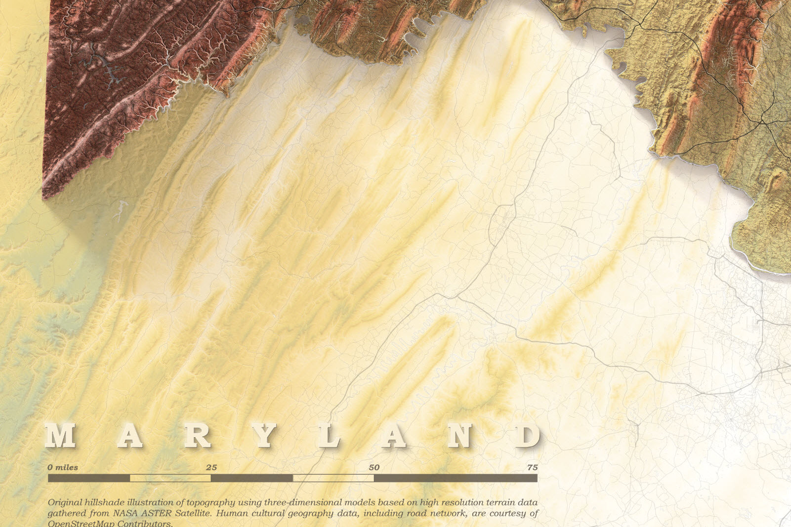
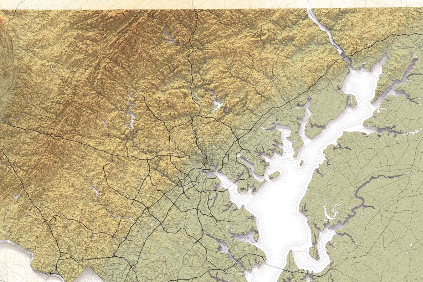
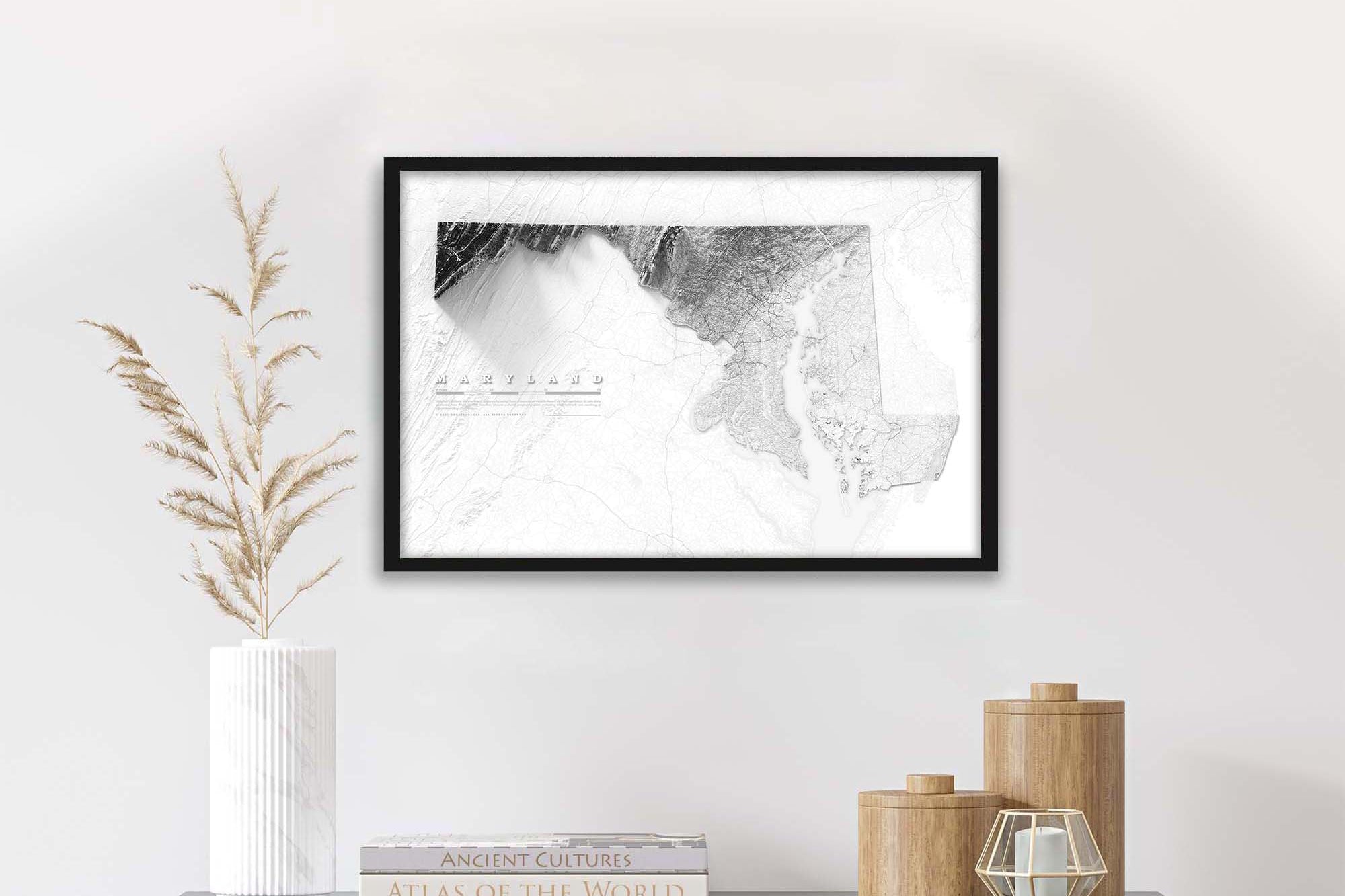
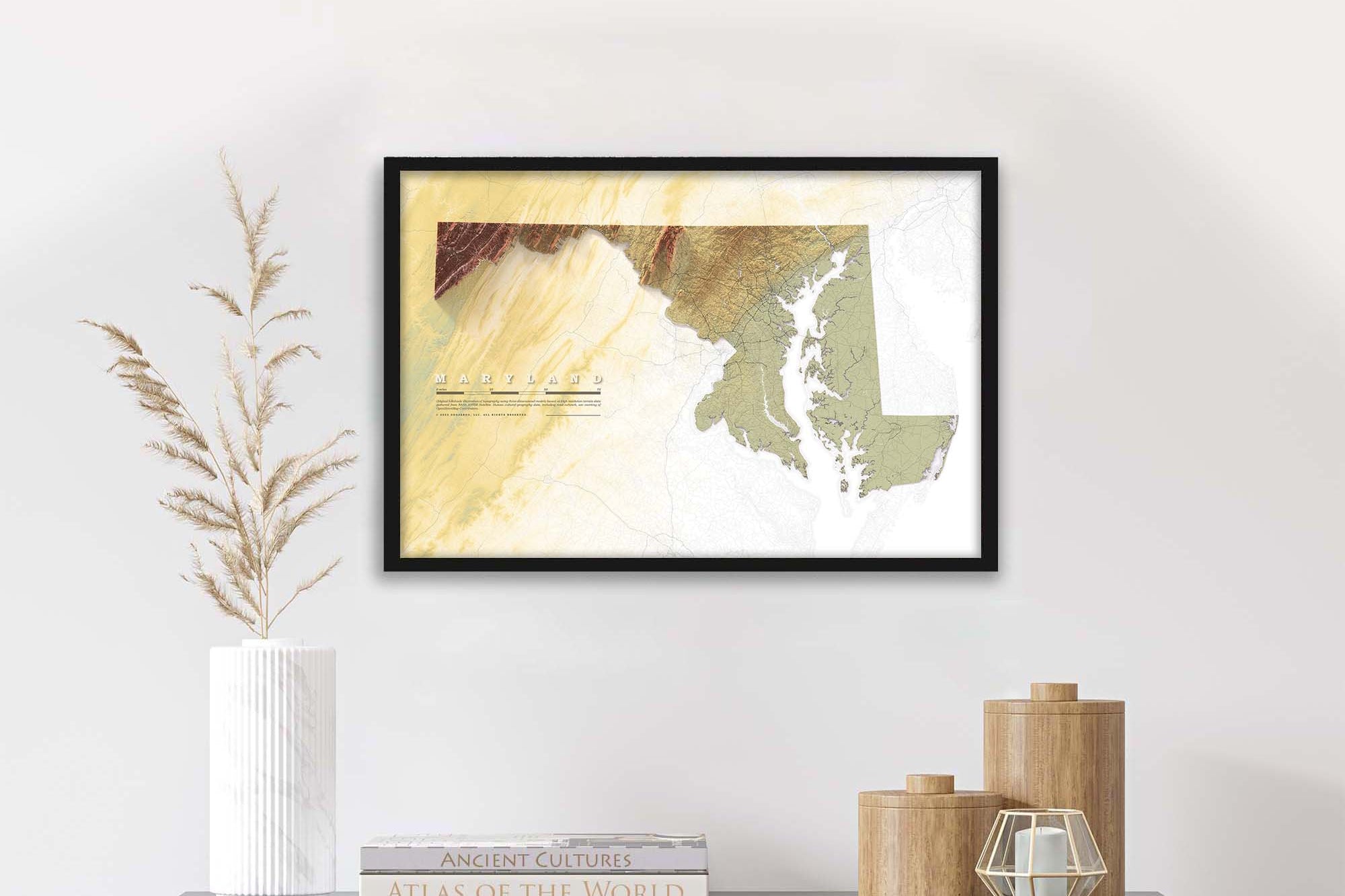
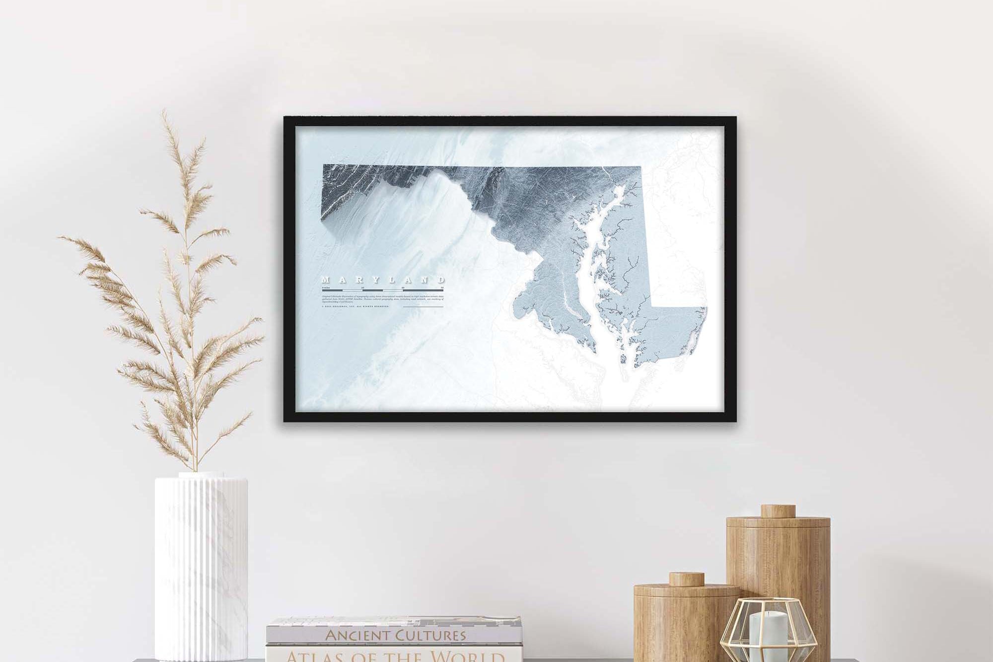
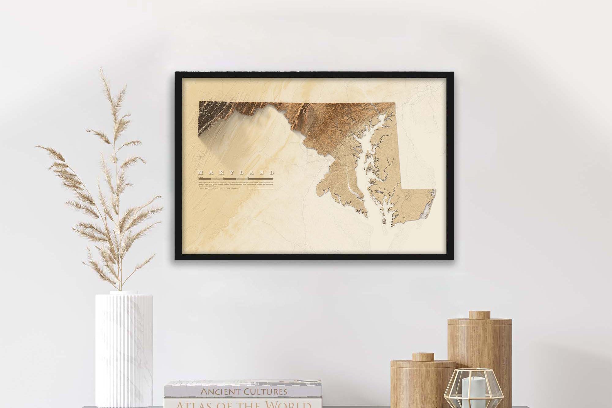
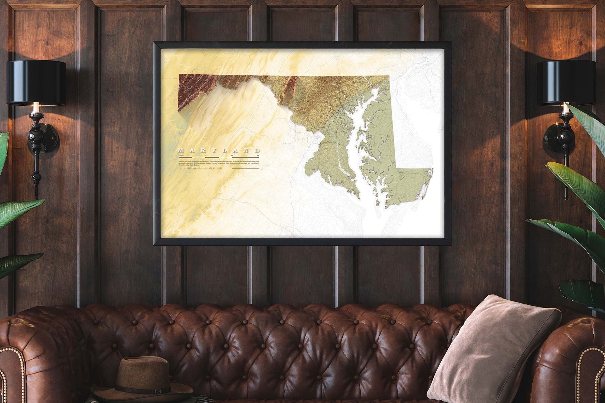
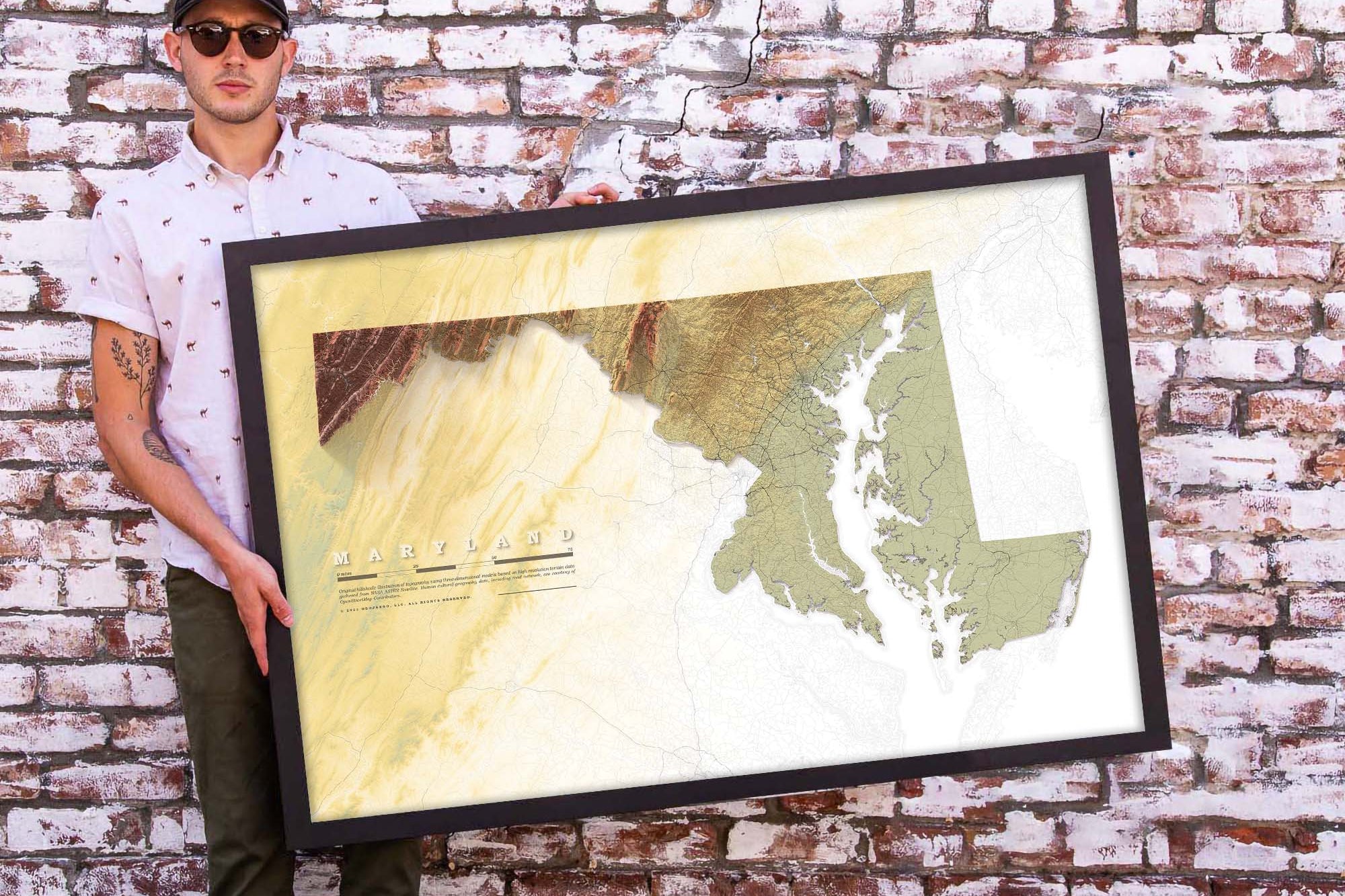
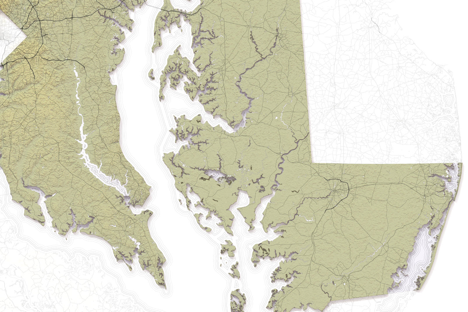
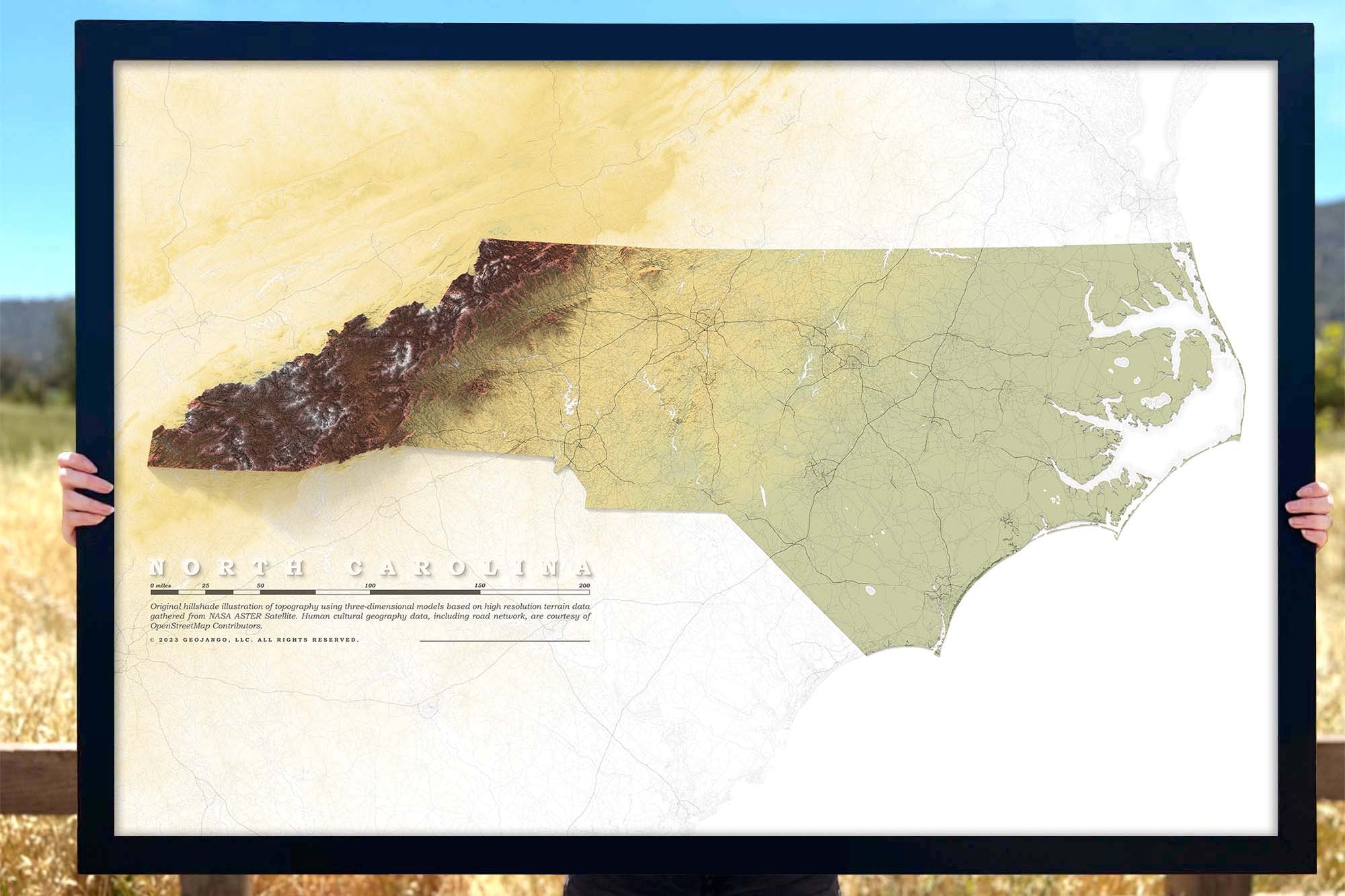
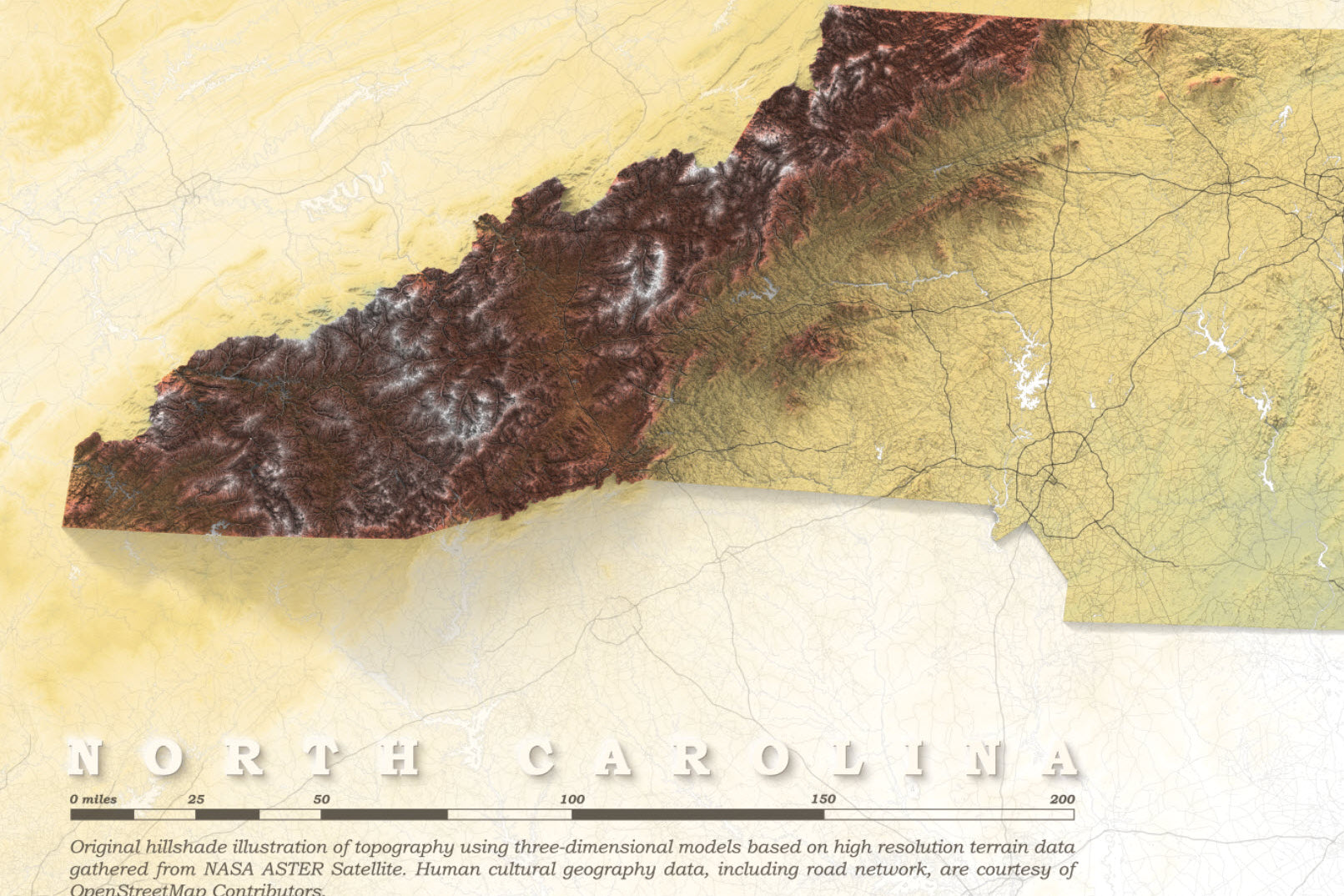
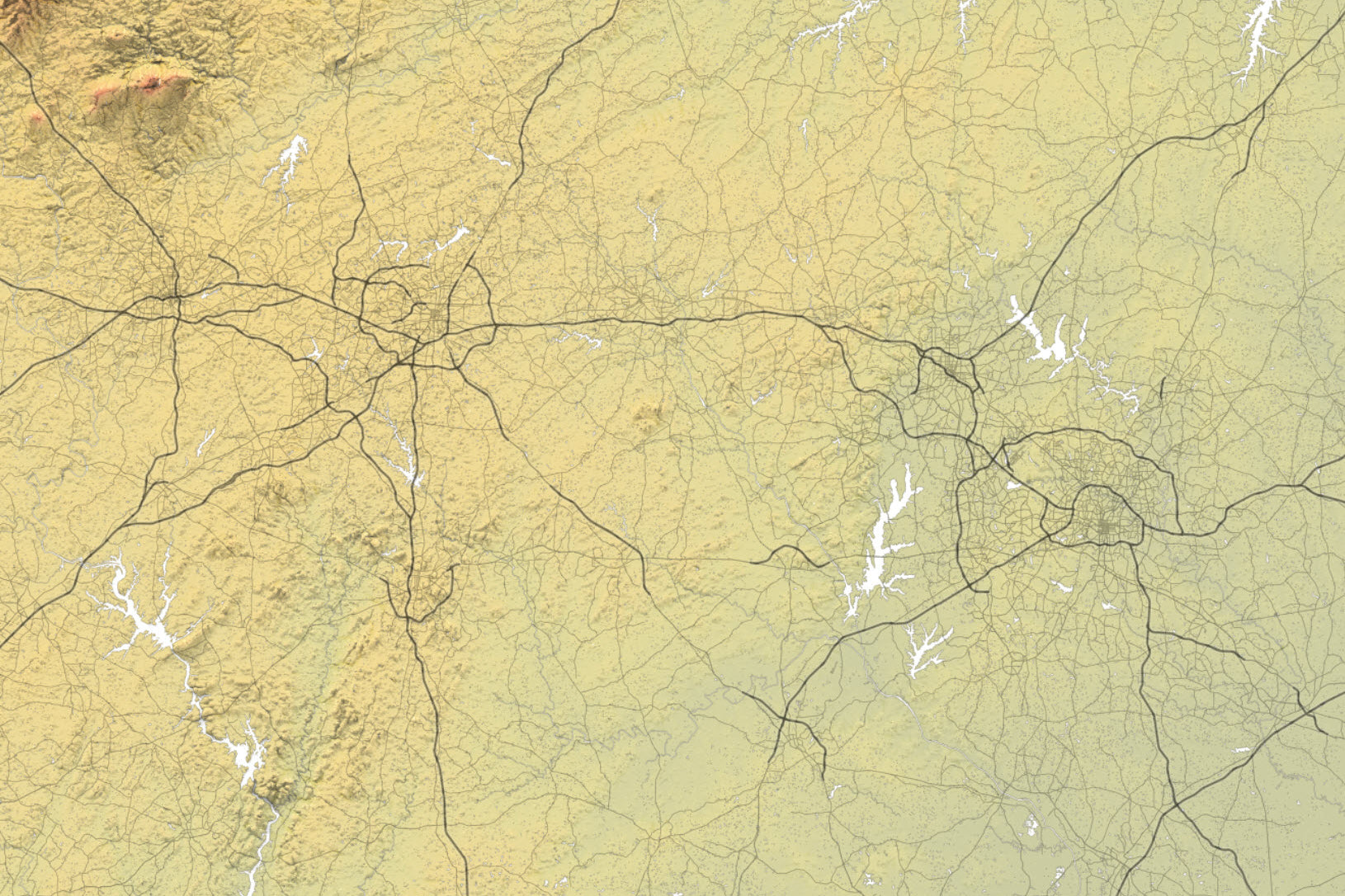
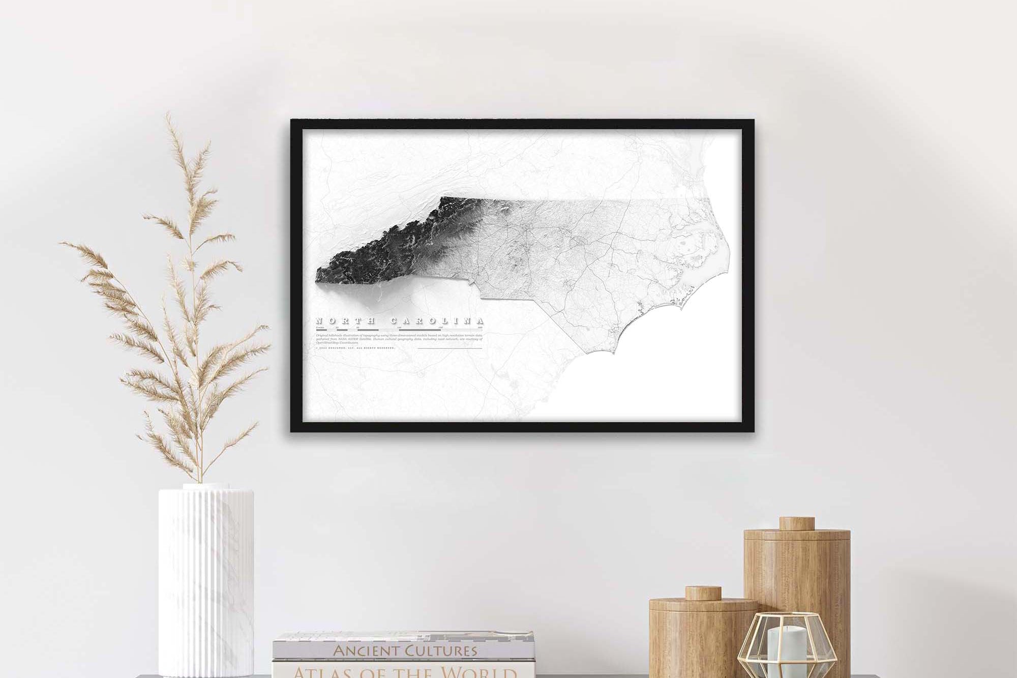
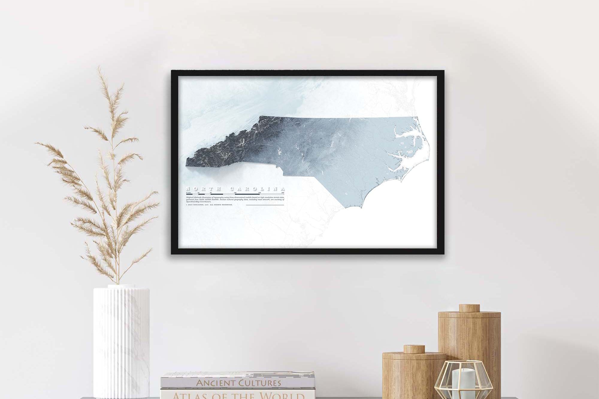
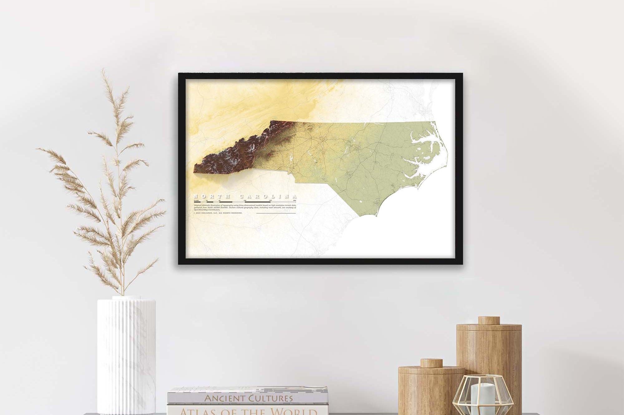
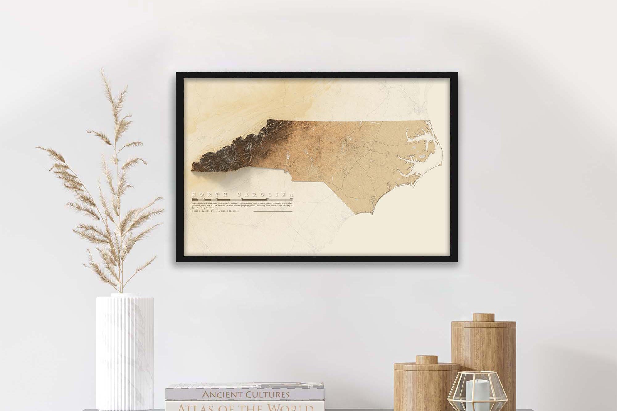
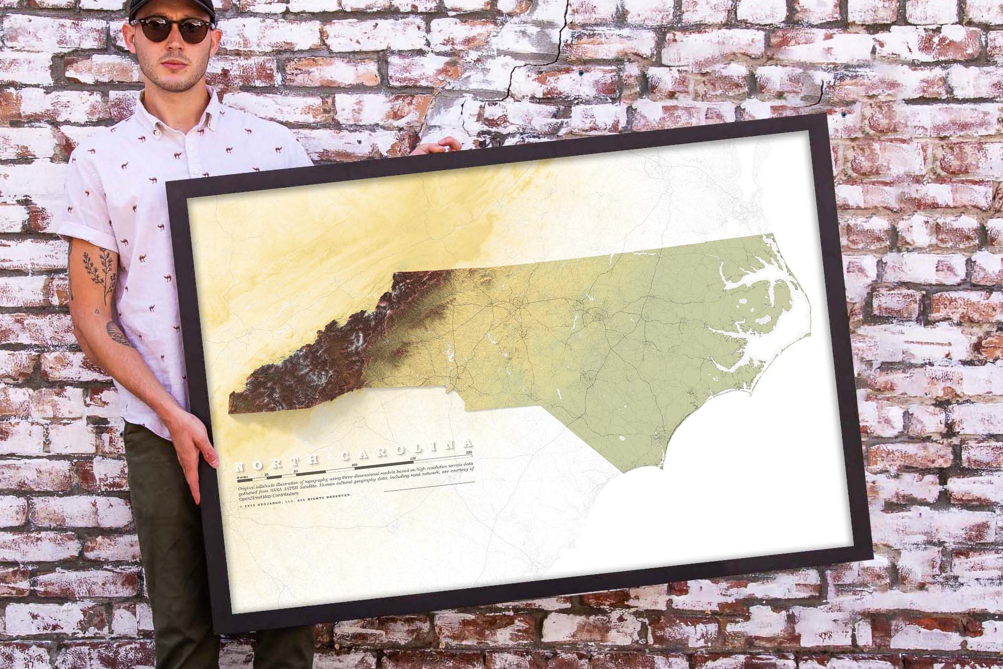
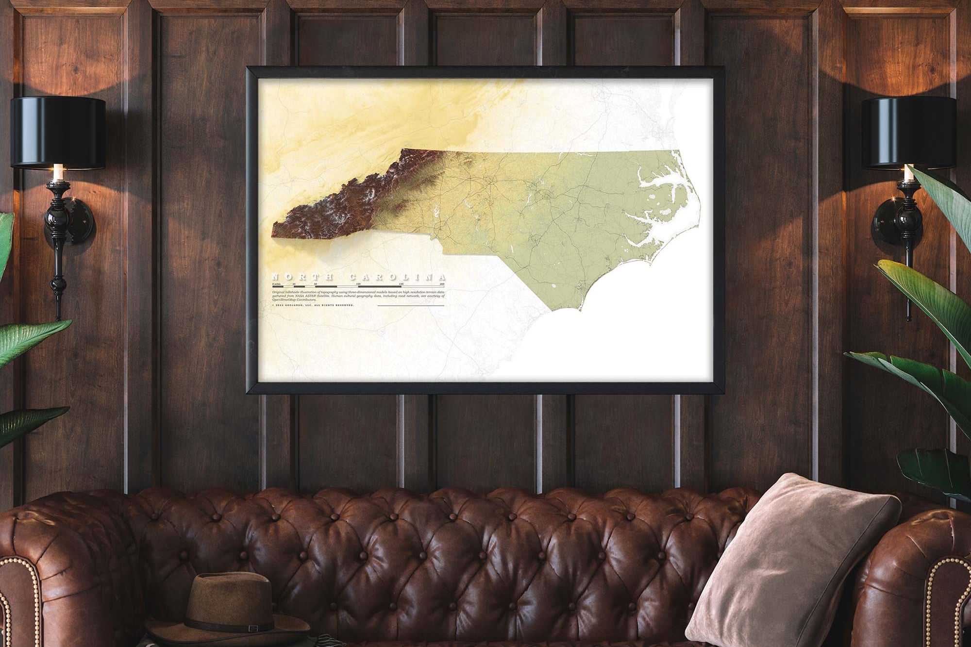
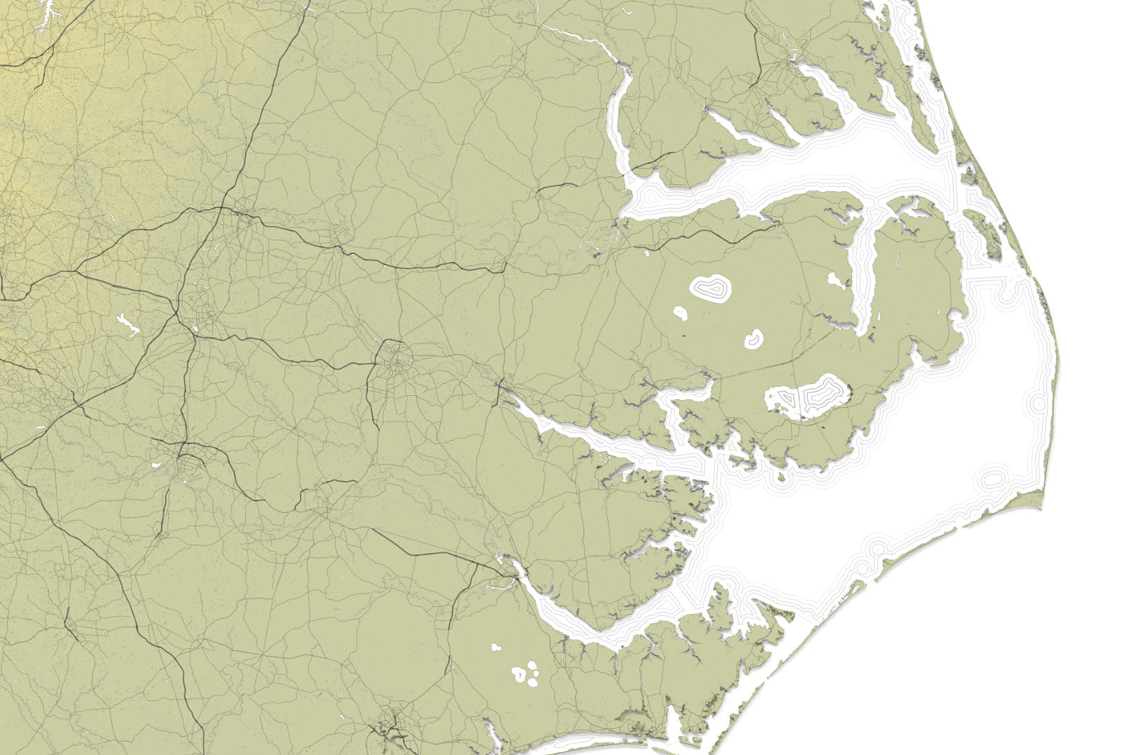
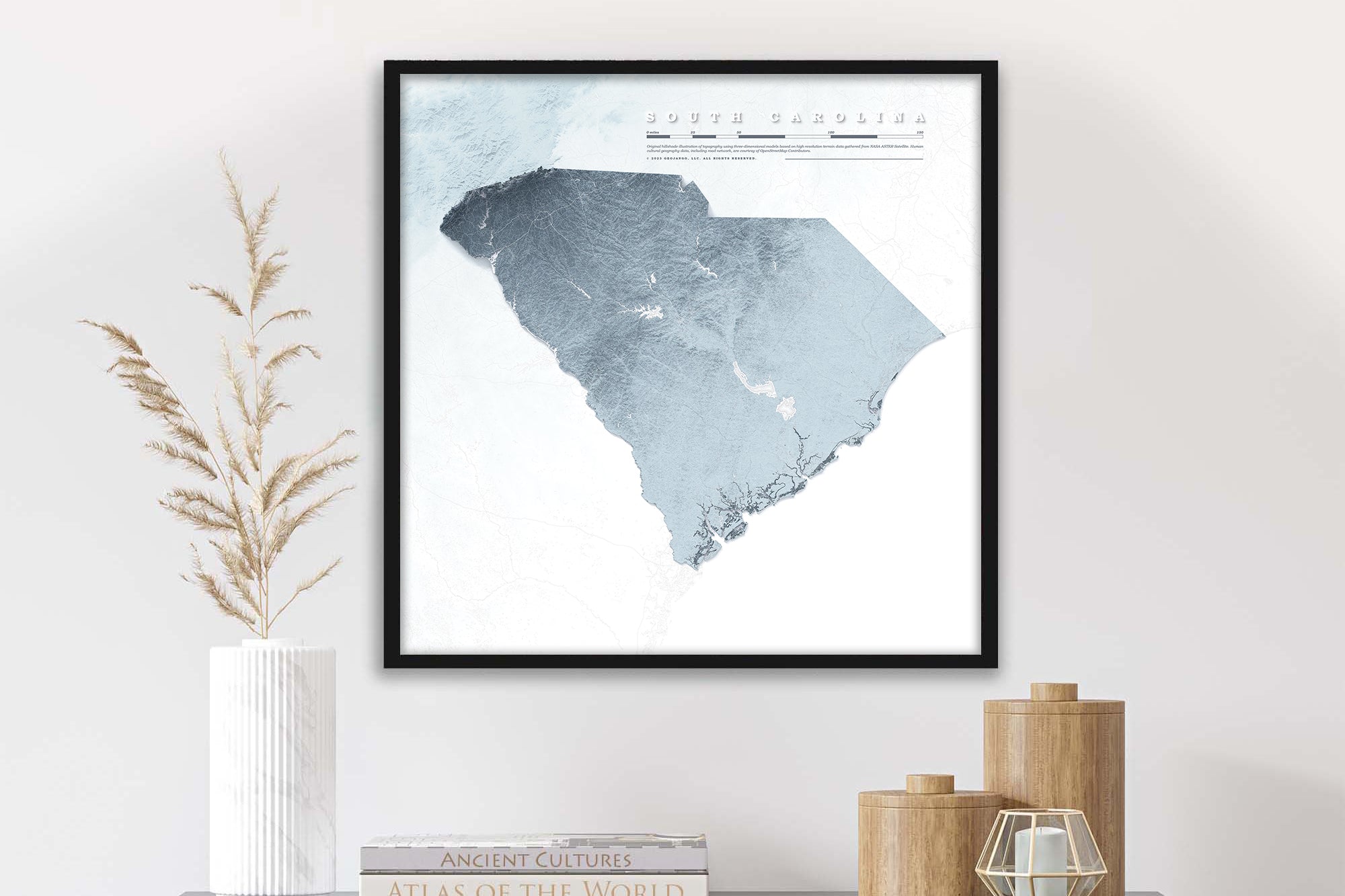
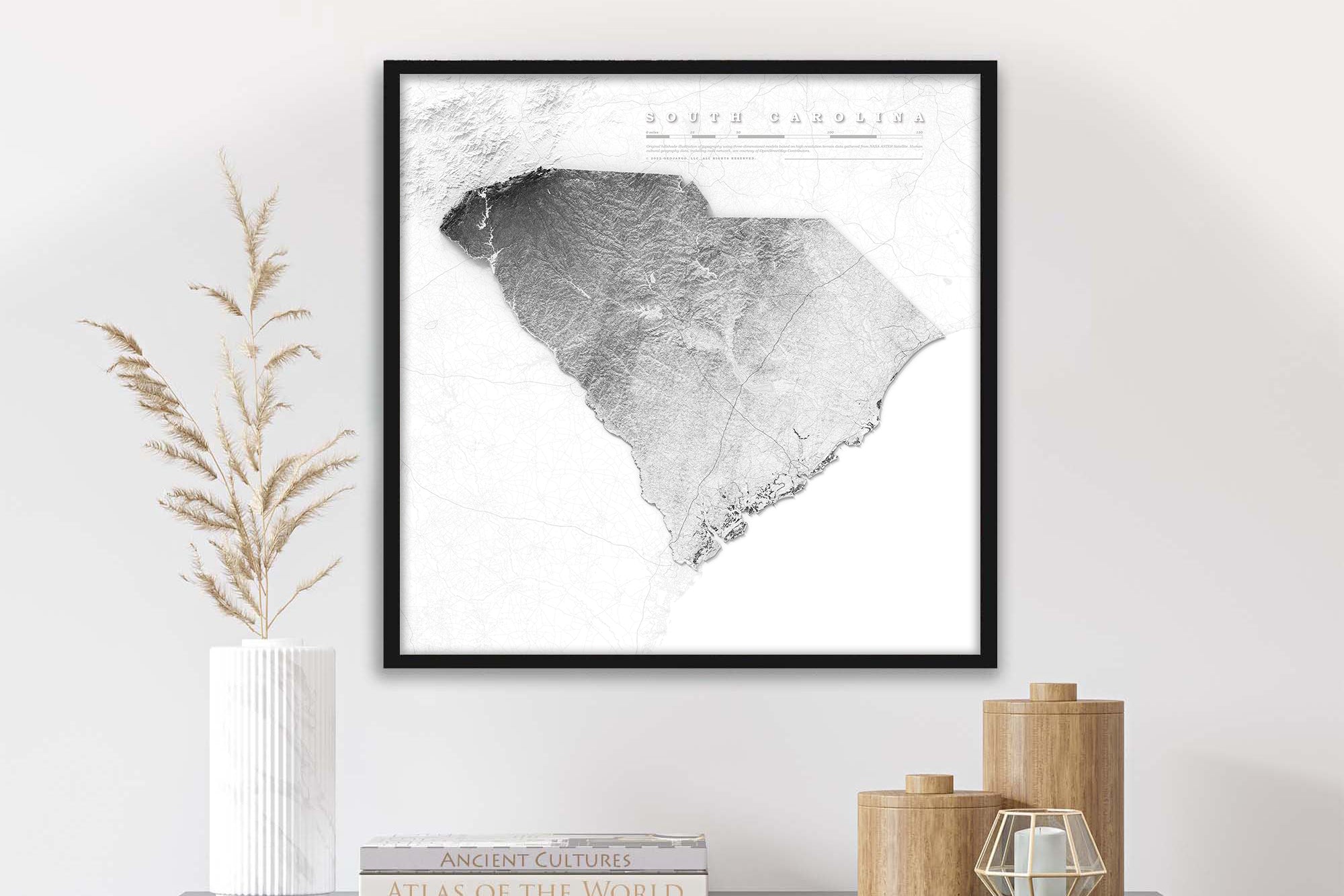
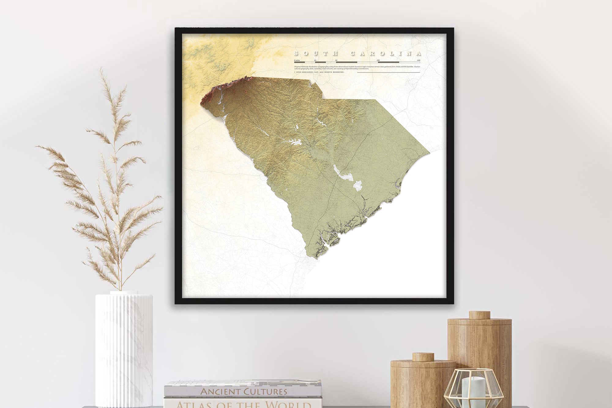
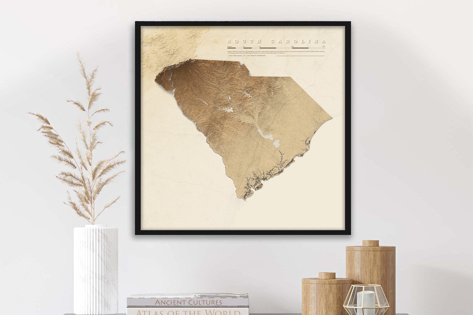
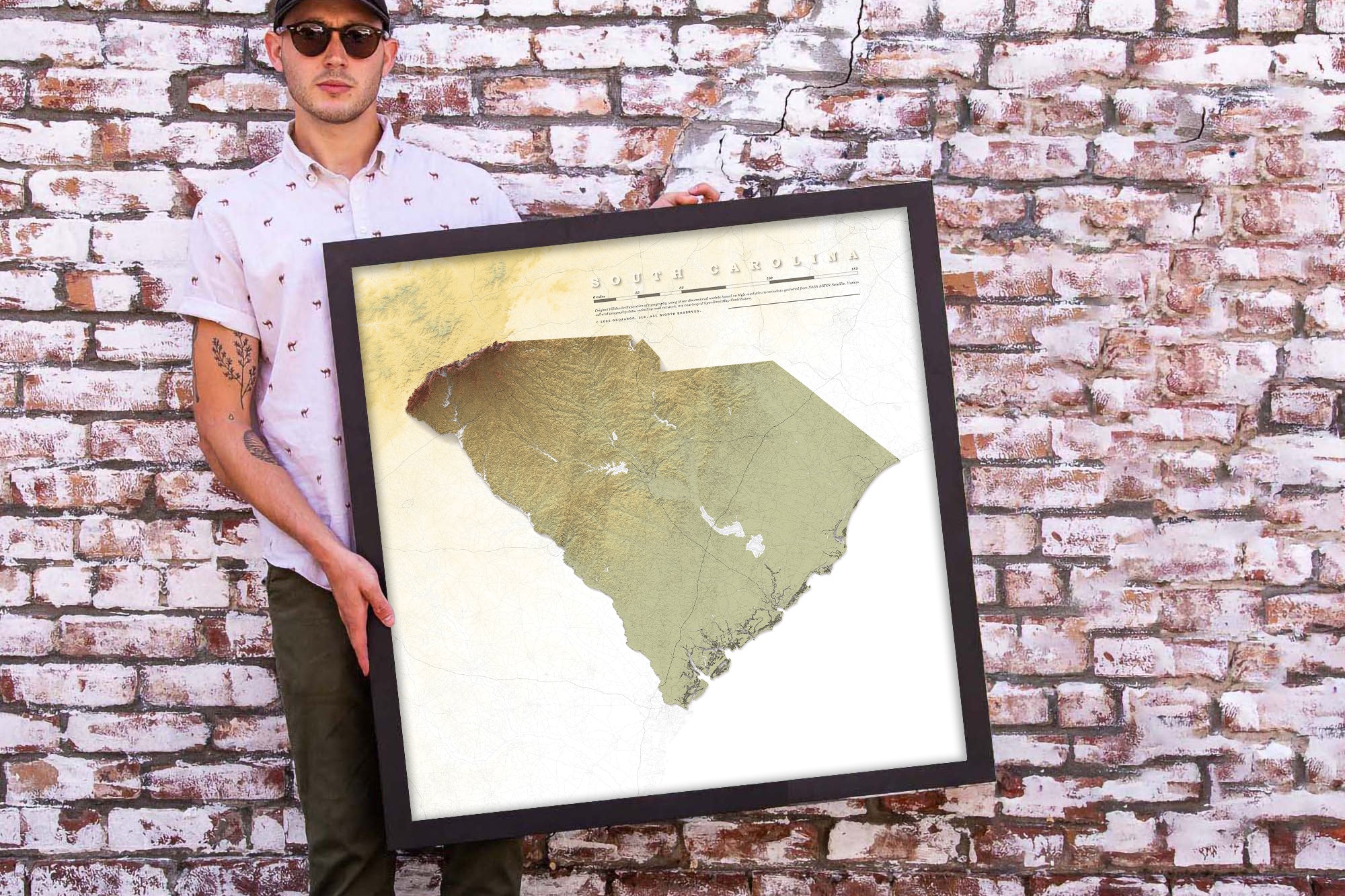
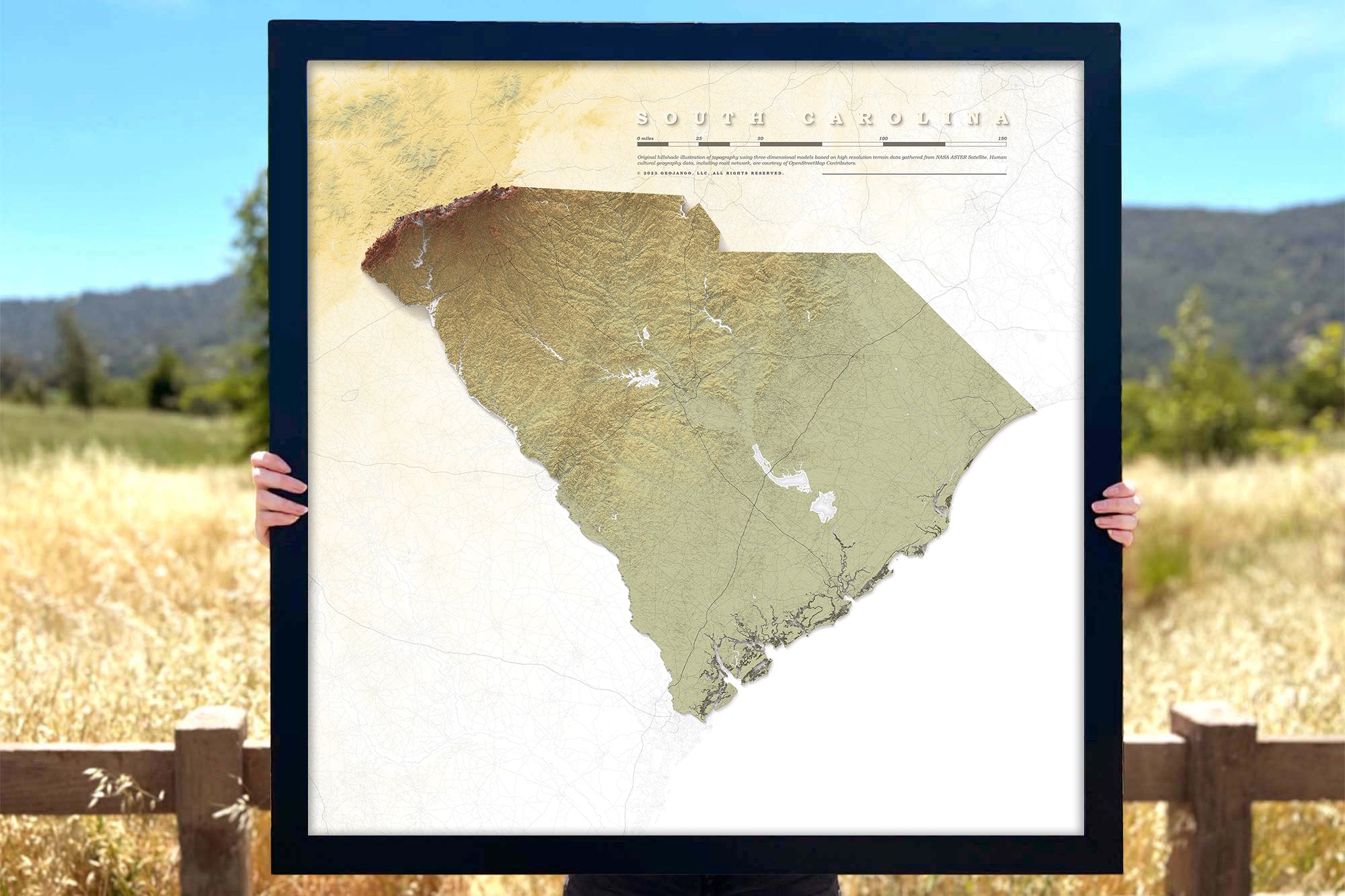
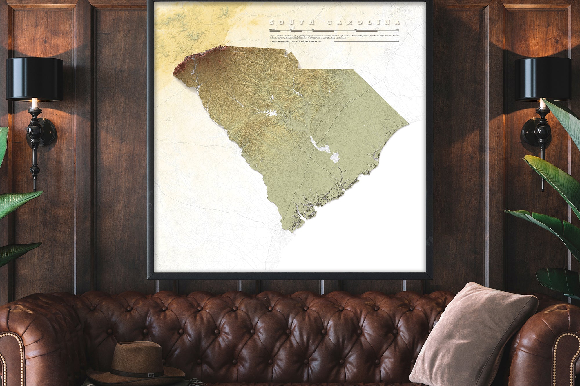
Elevation Maps
See intricate details as only a local could with beautiful relief map art - the subtle light and shadow of every mountain range, valley, hill, and river snaking around the topography of the land. Choose from classic black and white or bold, colorful map prints that describe elevation, and shaded relief topographic details.
Explore more of our Map Art, or our Push Pin Travel Maps collection.


Customer reviews
Customer reviews
I just gave this gift to my best friend tonight for her birthday. She absolutely loved it! The quality is great, the seller was awesome to work with and very friendly!
Customer reviews
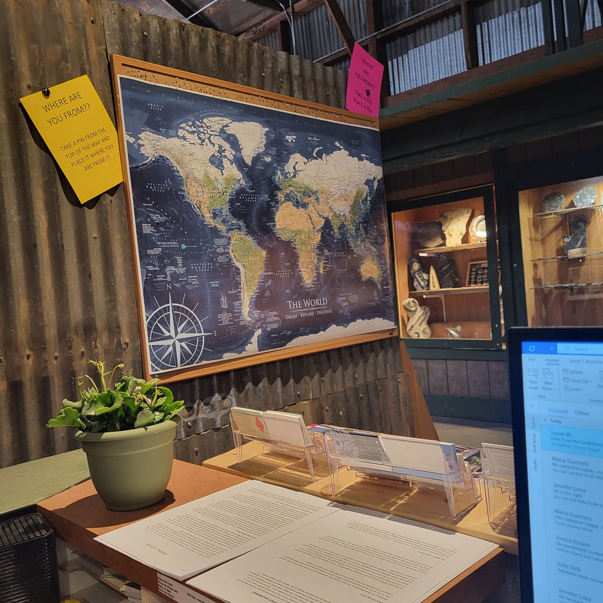
I hung our map up in the Bisbee Visitor Center and it has been a huge asset! People from all over the world are placing their pins in their home towns.
Customer reviews
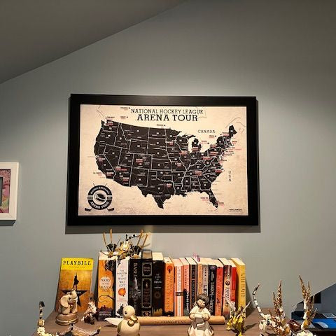
We love the NHL map personalized for me and my daughter as we start our Arena tour. High quality and looks awesome in her bedroom! Go Devils!!
Customer reviews
Such a fun special gift! The process of personalizing the map was fun and very user friendly. The map was packaged beautifully for shipment. Customer service was excellent. And most important, it is a gorgeous, personalized, nice quality map.
Customer reviews
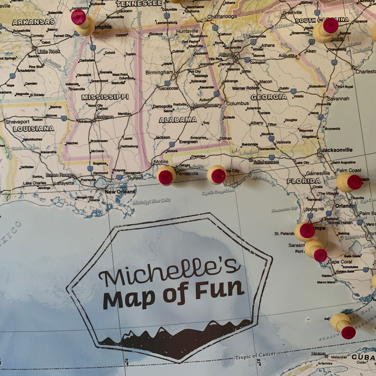
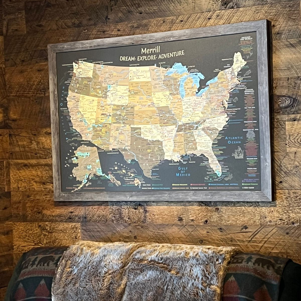
I absolutely love my map. Love that it is detailed with my name and others have noticed it and think it’s super cool.Will definitely order here again for family or friends. And will recommend them to shop here as well. Pining all my trips and Indy Car tracks I’ve been able to go too. So much fun. Can’t wait for future travels!
Customer reviews
Perfect perfect perfect perfect
Customer reviews
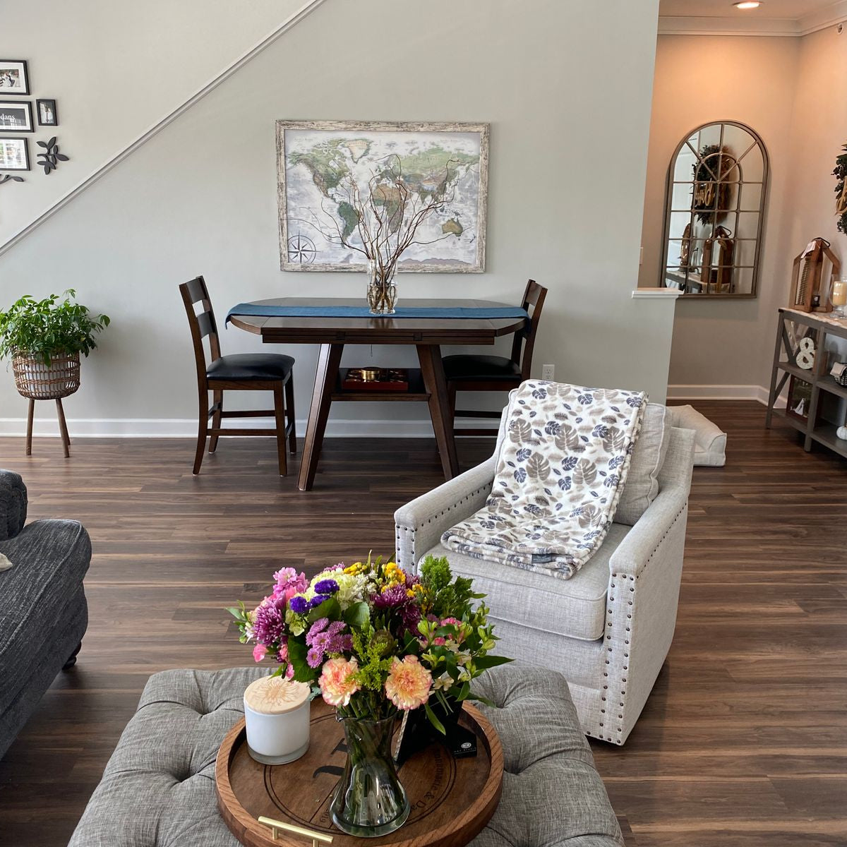
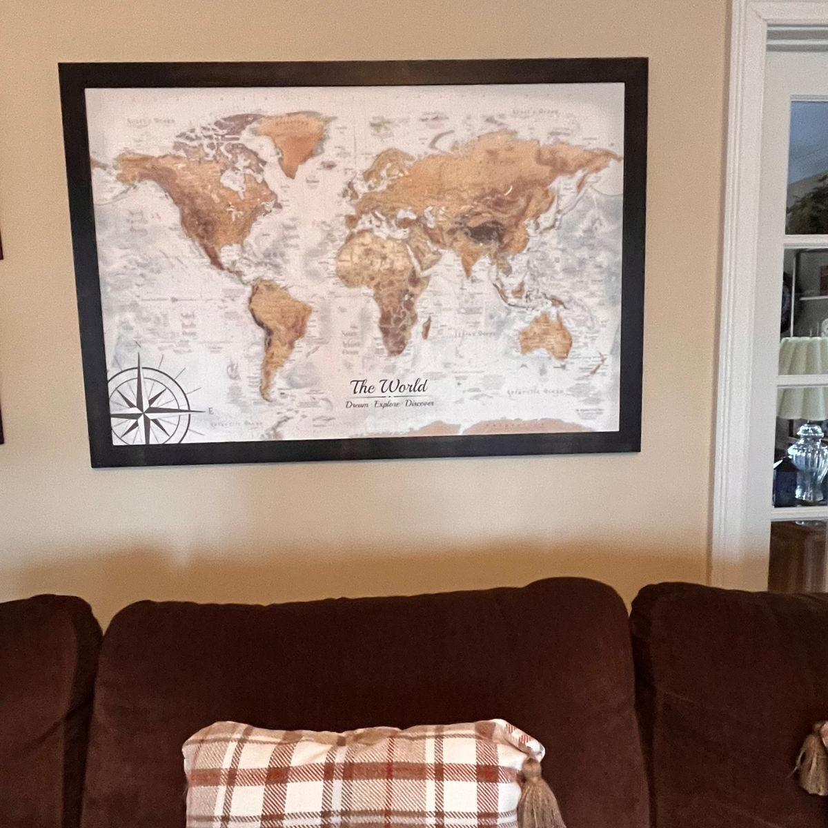
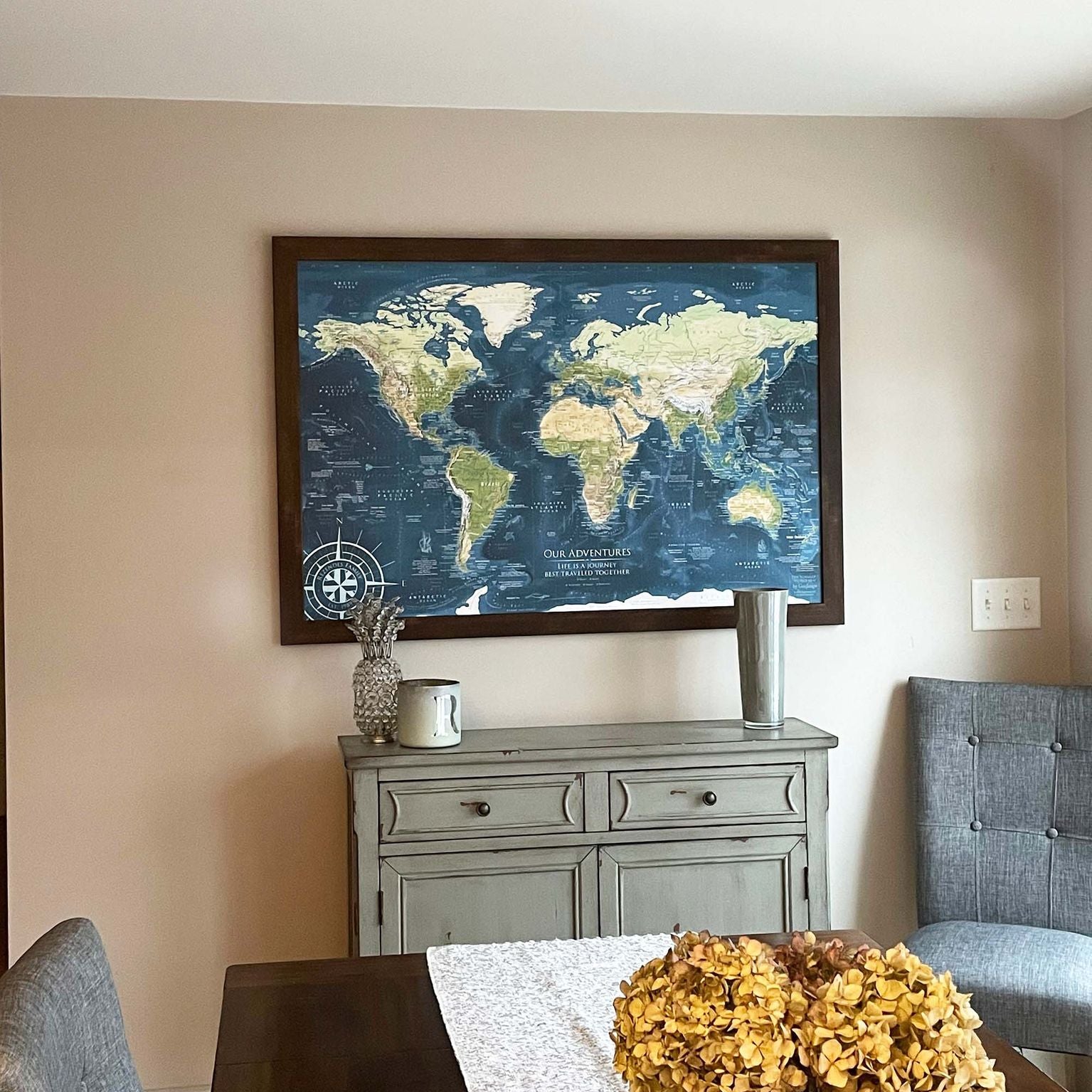
We love our world map! It looks awesome above our couch in the family room. We are very happy with the largest size. What an educational treasure!
Customer reviews
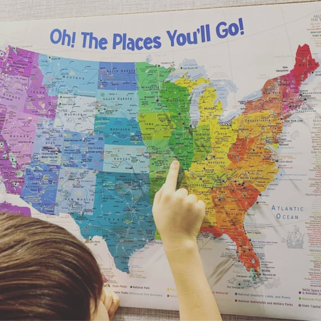
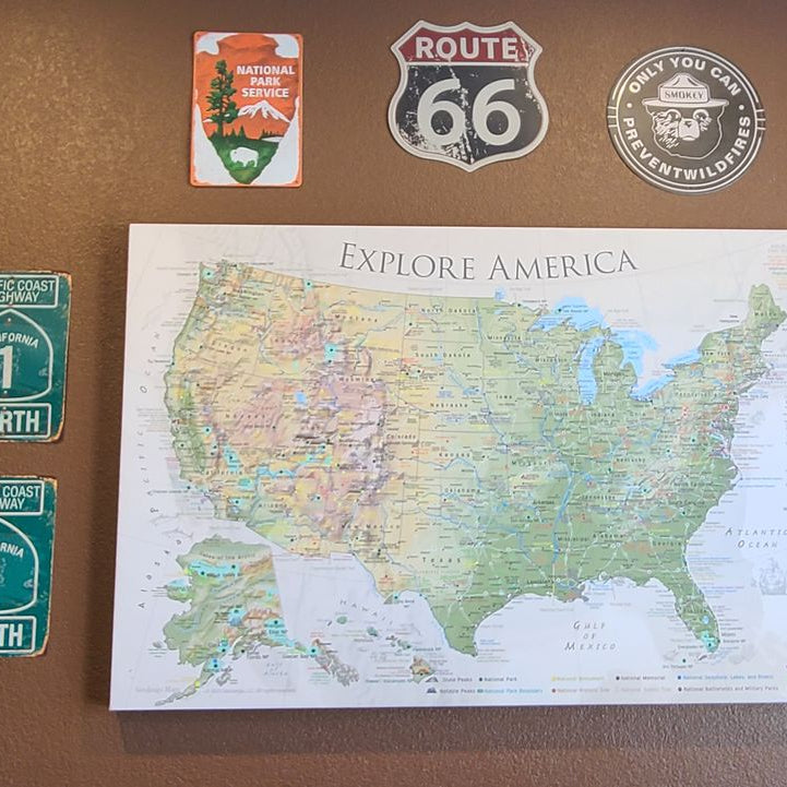
Just hung up our new, beautiful, and very detailed canvas wrapped map in our new game room. Excited to get started adding our colorful pins to display our years of previous travels. And really eager to hit the road to add our new favorites places on our map as we expand our "Explore America" adventures!
Customer reviews
I absolutely love it! It’s better than I thought it would be. Great quality!
Customer reviews
We have been wanting to order this map for quite some time!! We LOVE it! It arrived quickly and was packed EXTREMELY well!! It’s up on our wall and now we can clearly see the parks we still have left to explore!! Thank you so much for a beautiful, quality product!!
Customer reviews
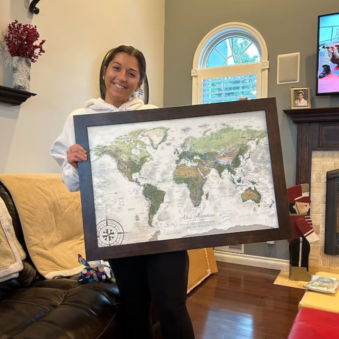
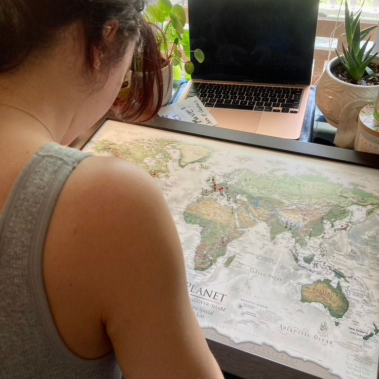
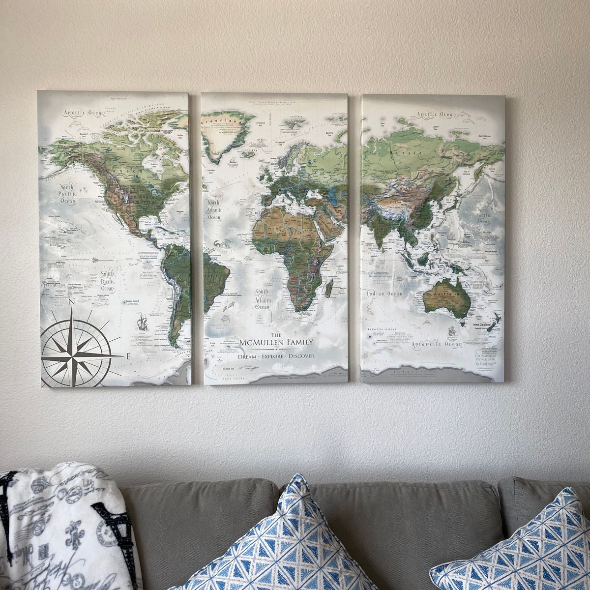
Our customized world map is a perfect addition to our living space! It brings back fond memories of places we visited and inspires us for future travel. I can’t wait to start changing the pin colors from wish list to conquered!
Customer reviews
Absolutely lovely!