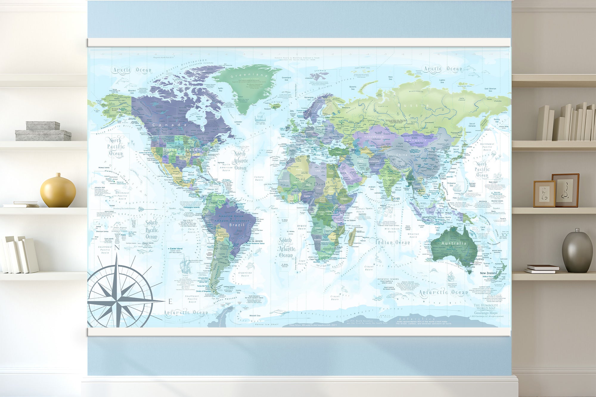
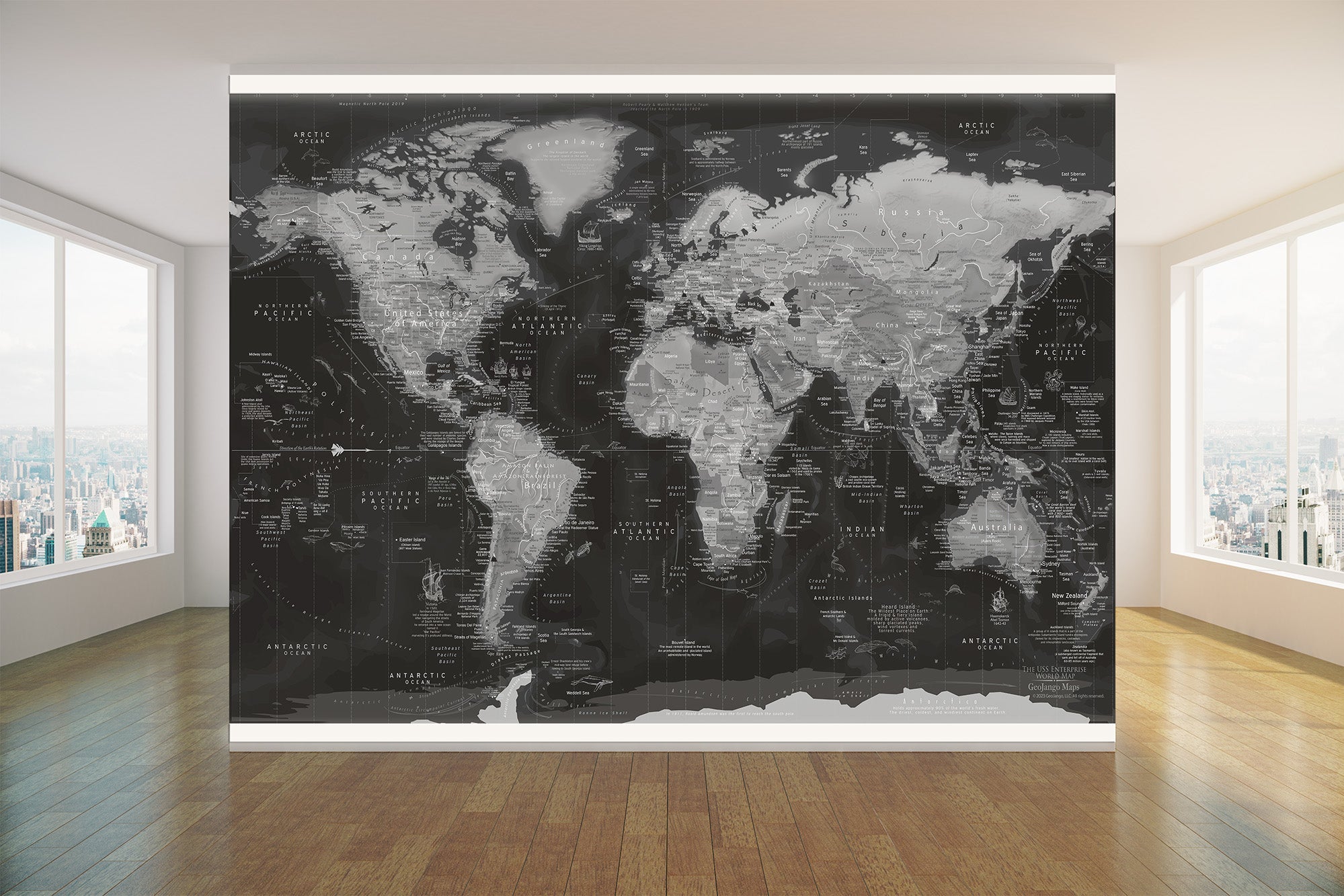
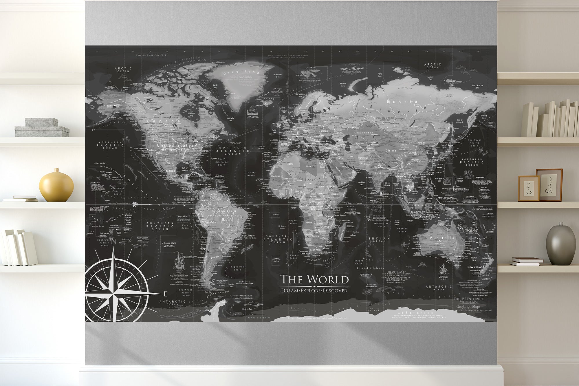
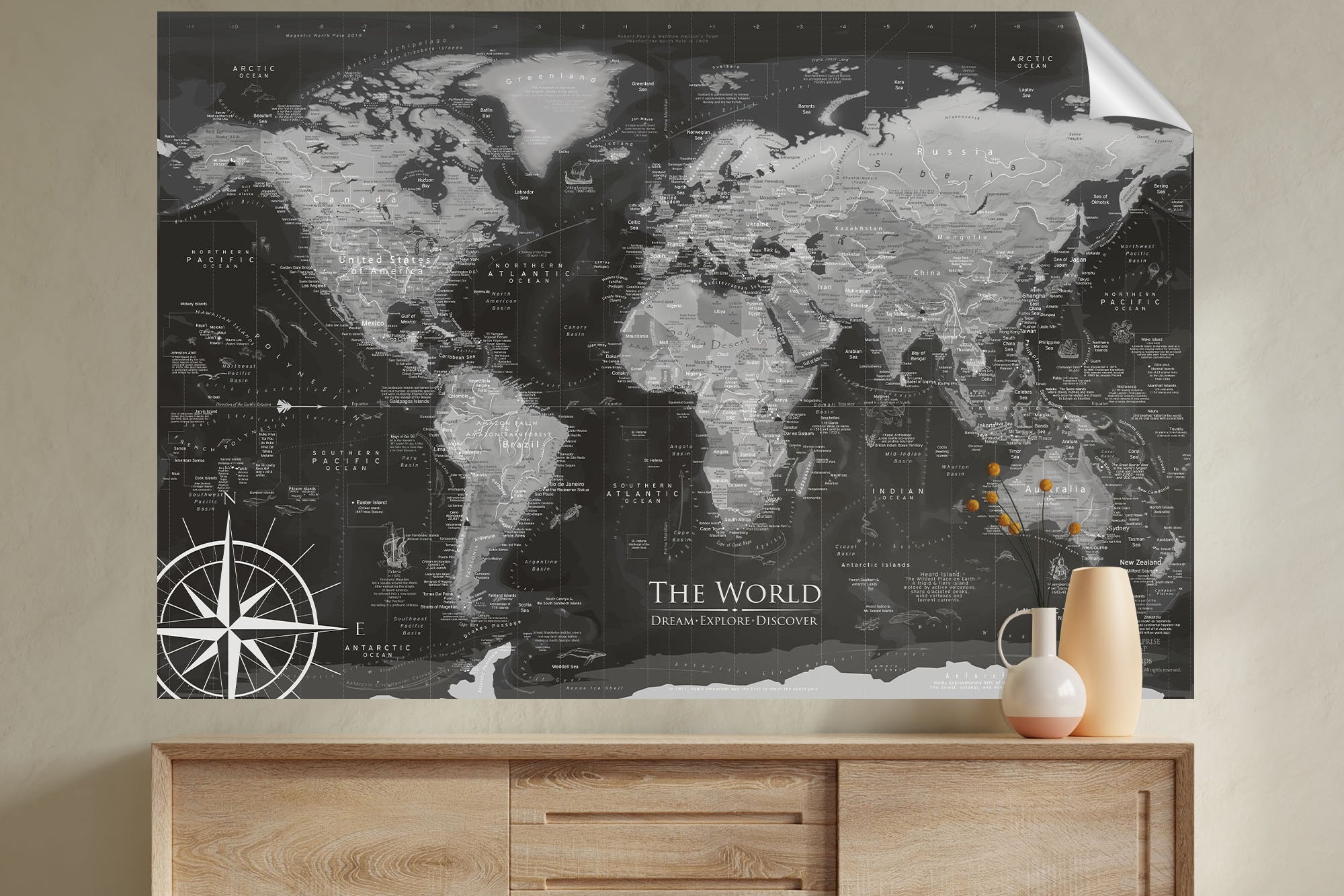
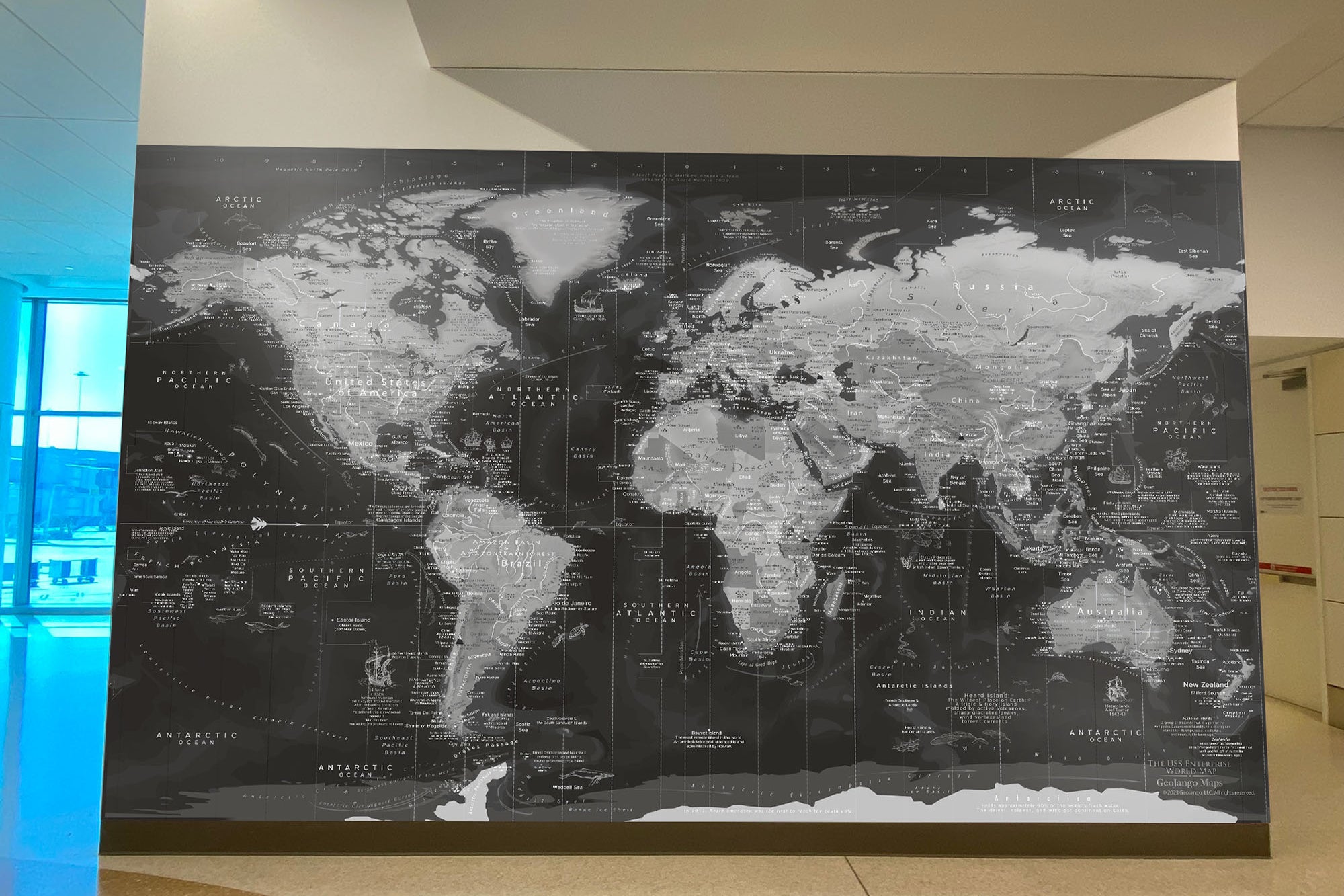
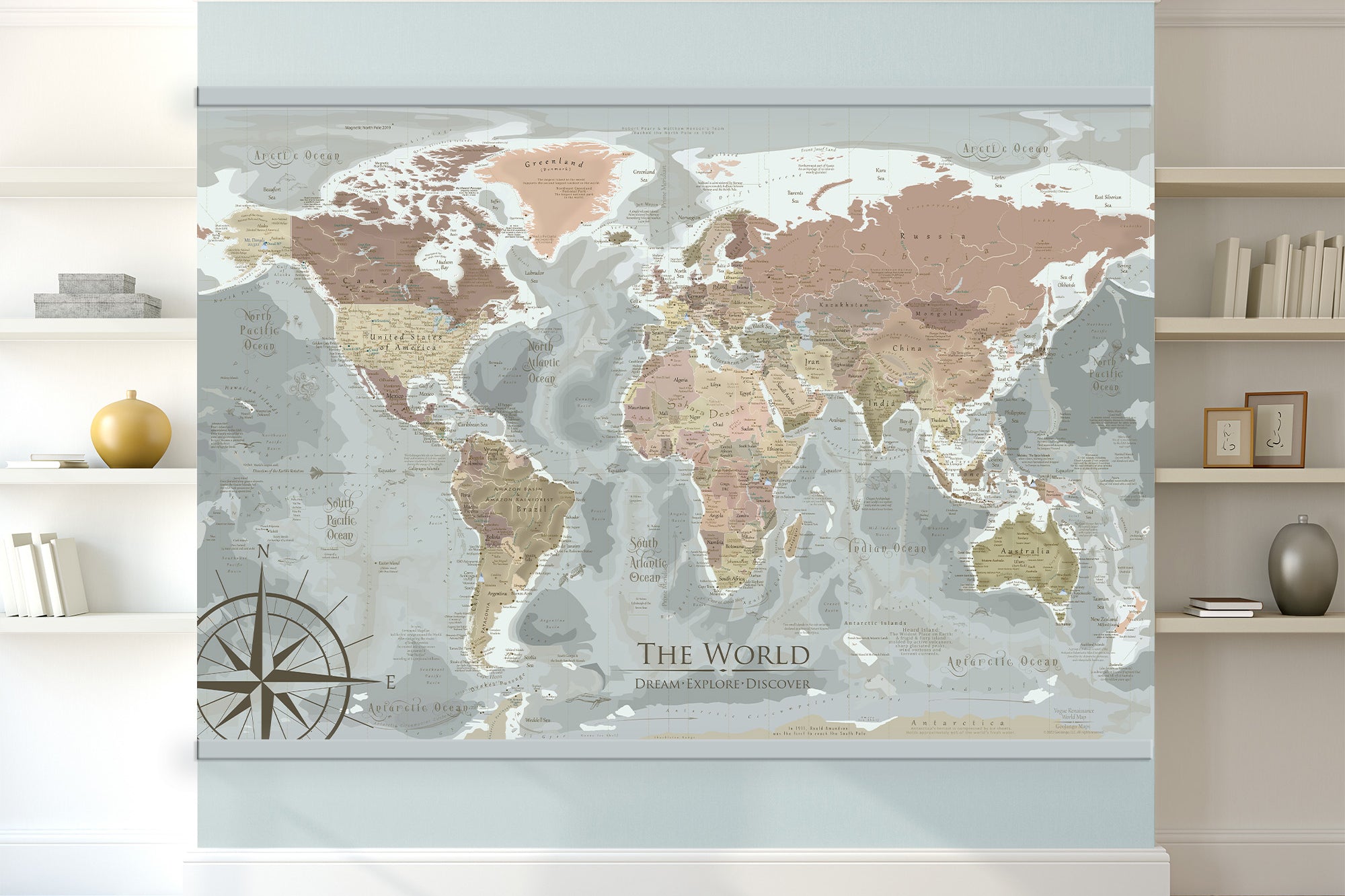
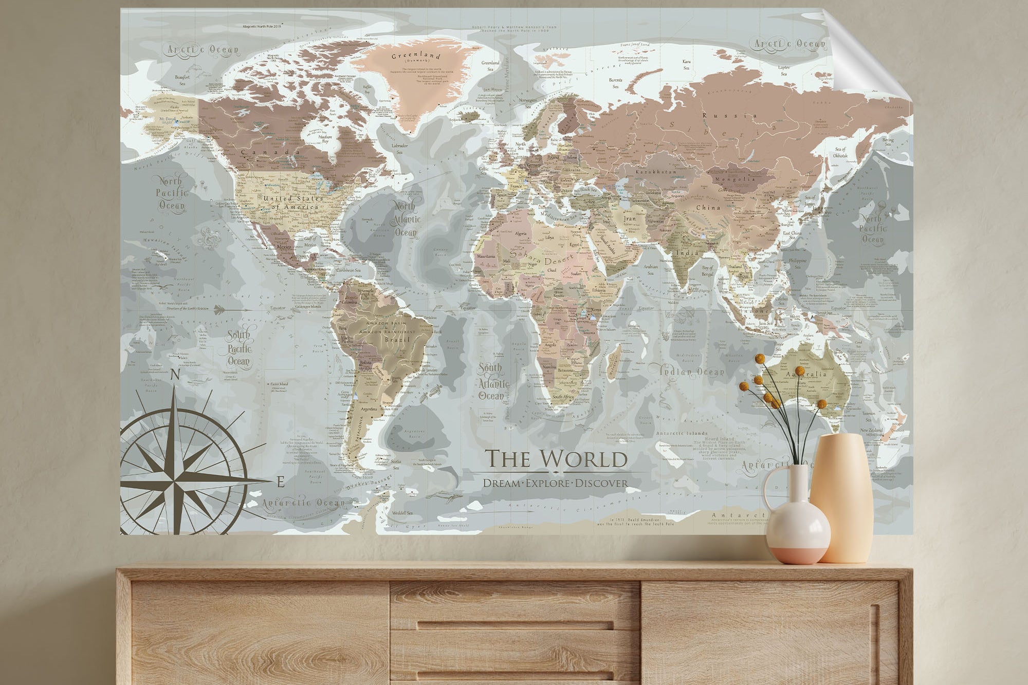
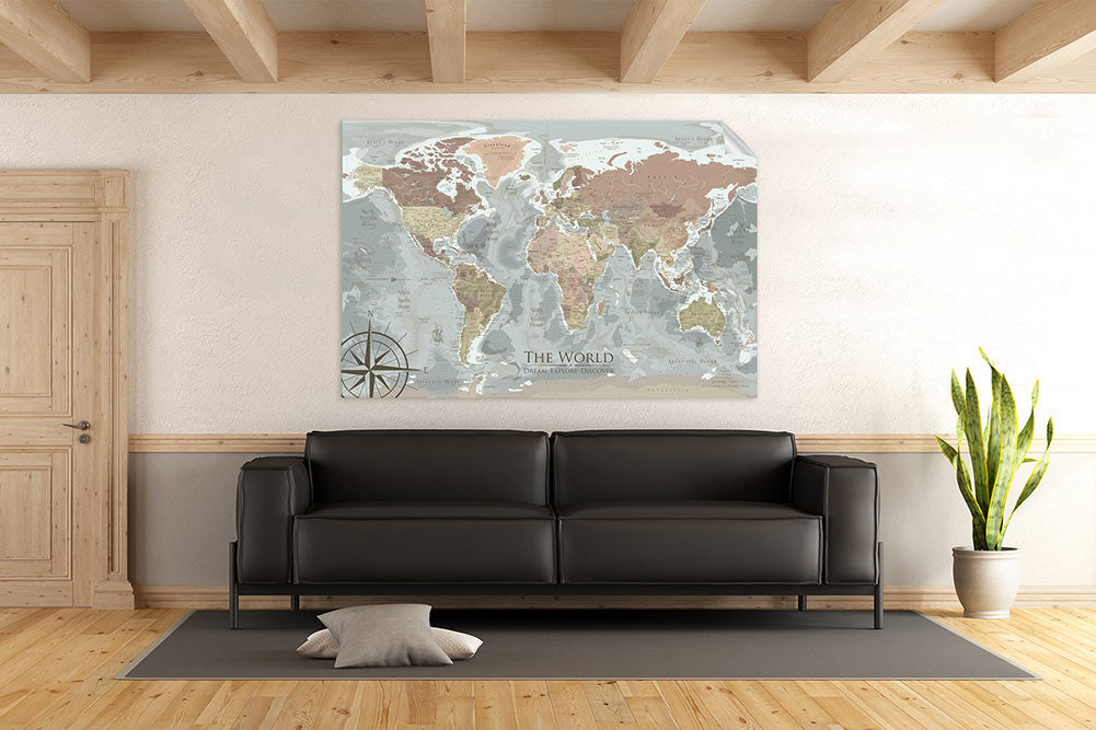
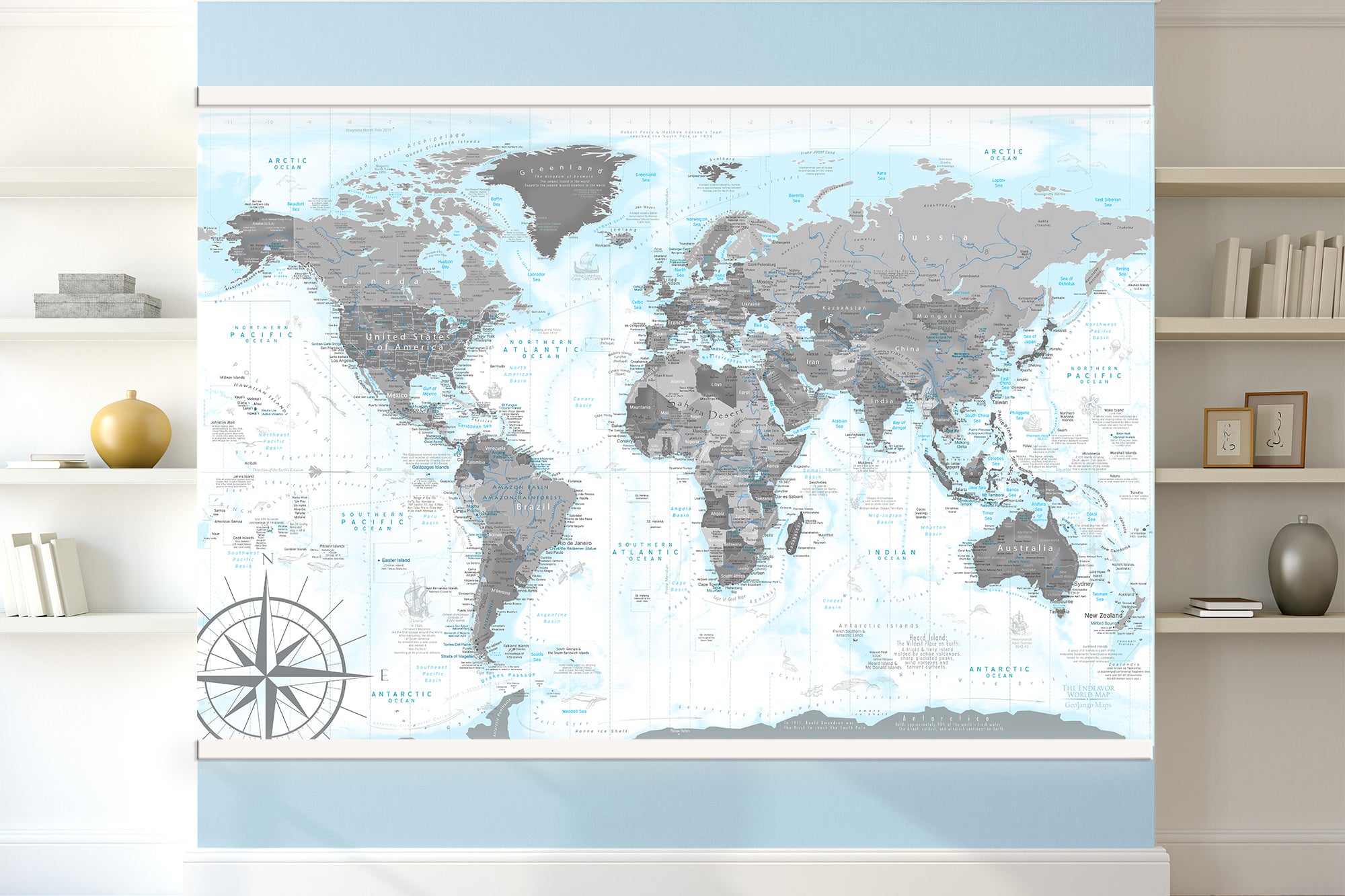
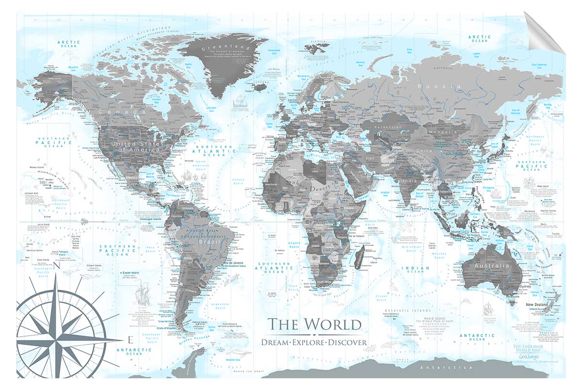
At GeoJango Maps, we don’t create mass-produced decor. We craft true geographic artwork — maps that combine the precision of science with the beauty of design. Every map is made in the USA, in our state-of-the-art cartographic facility in California, by a professional geographer using advanced GIS and Remote Sensing technology.
What Makes GeoJango Maps Different?
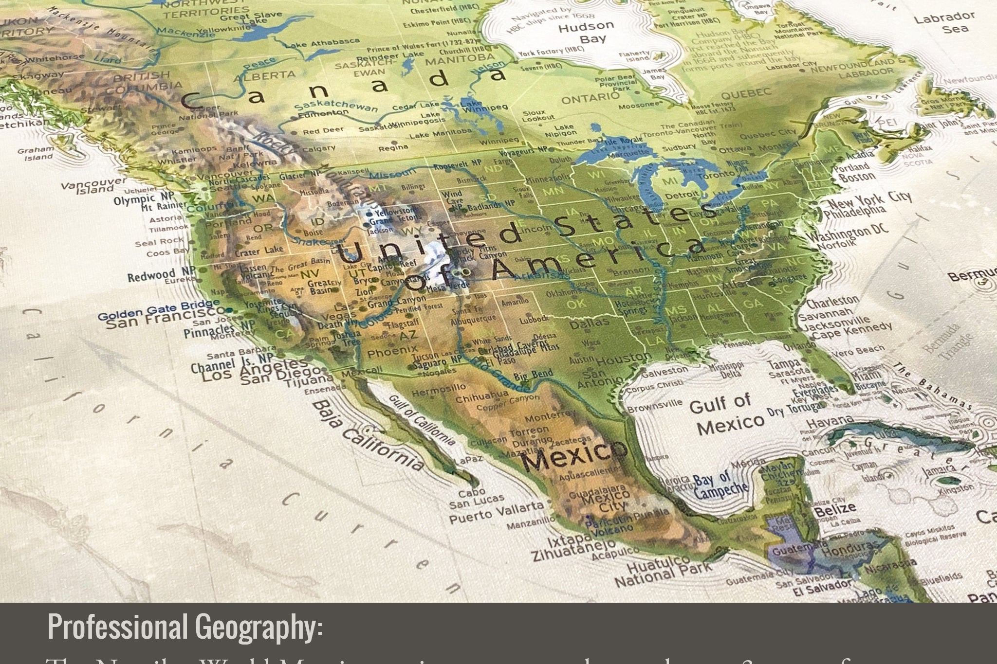
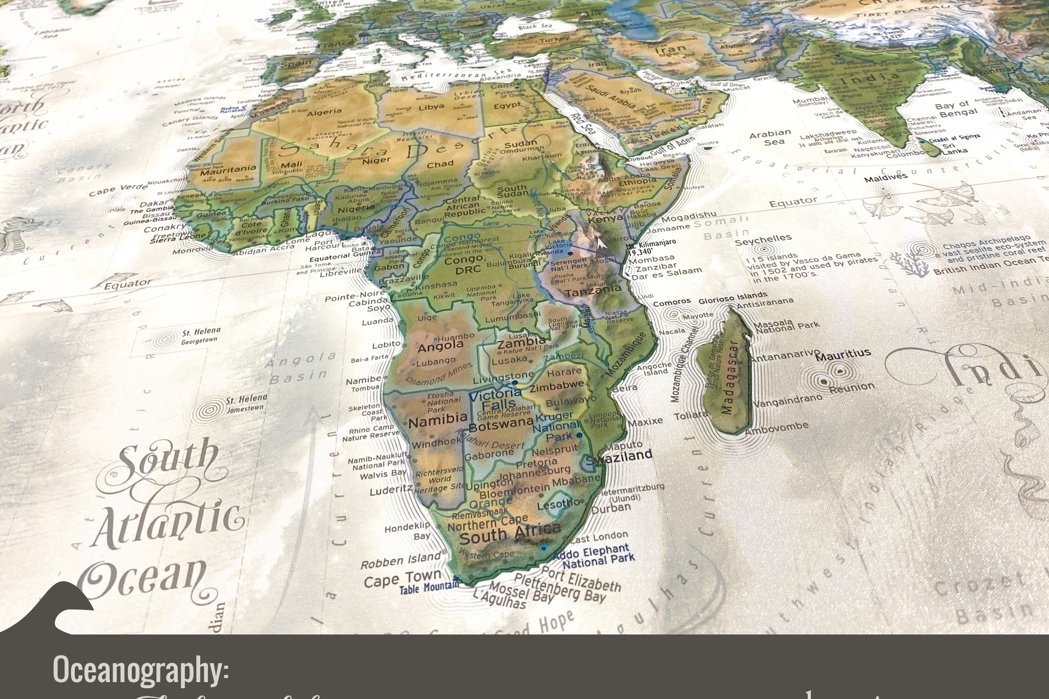
🛰️ Built with Real Data, Not Stock Images
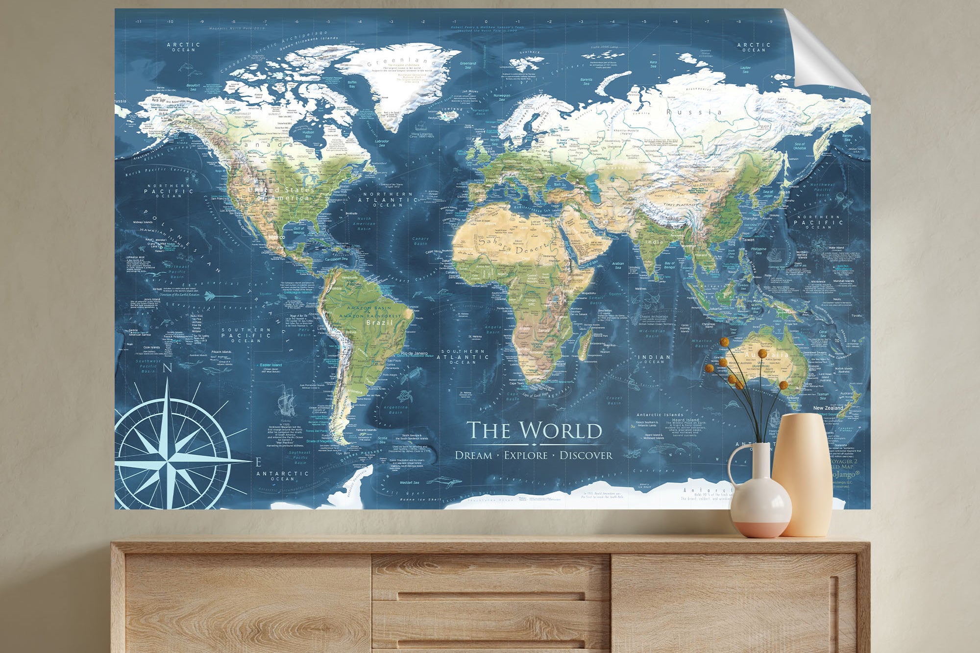
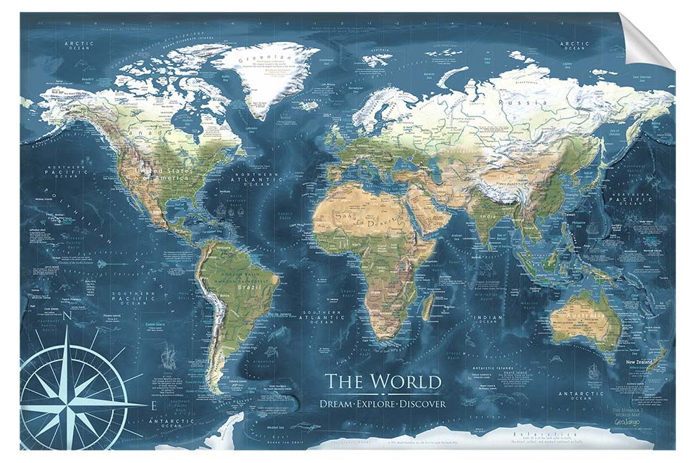
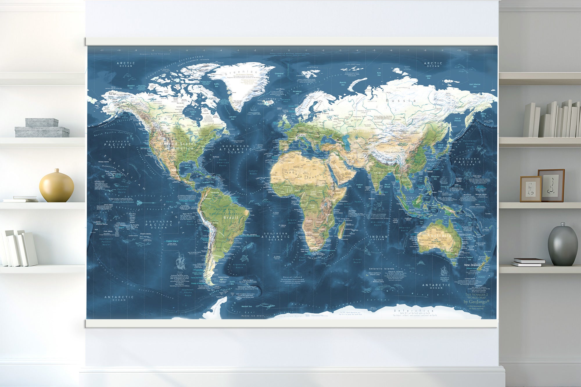
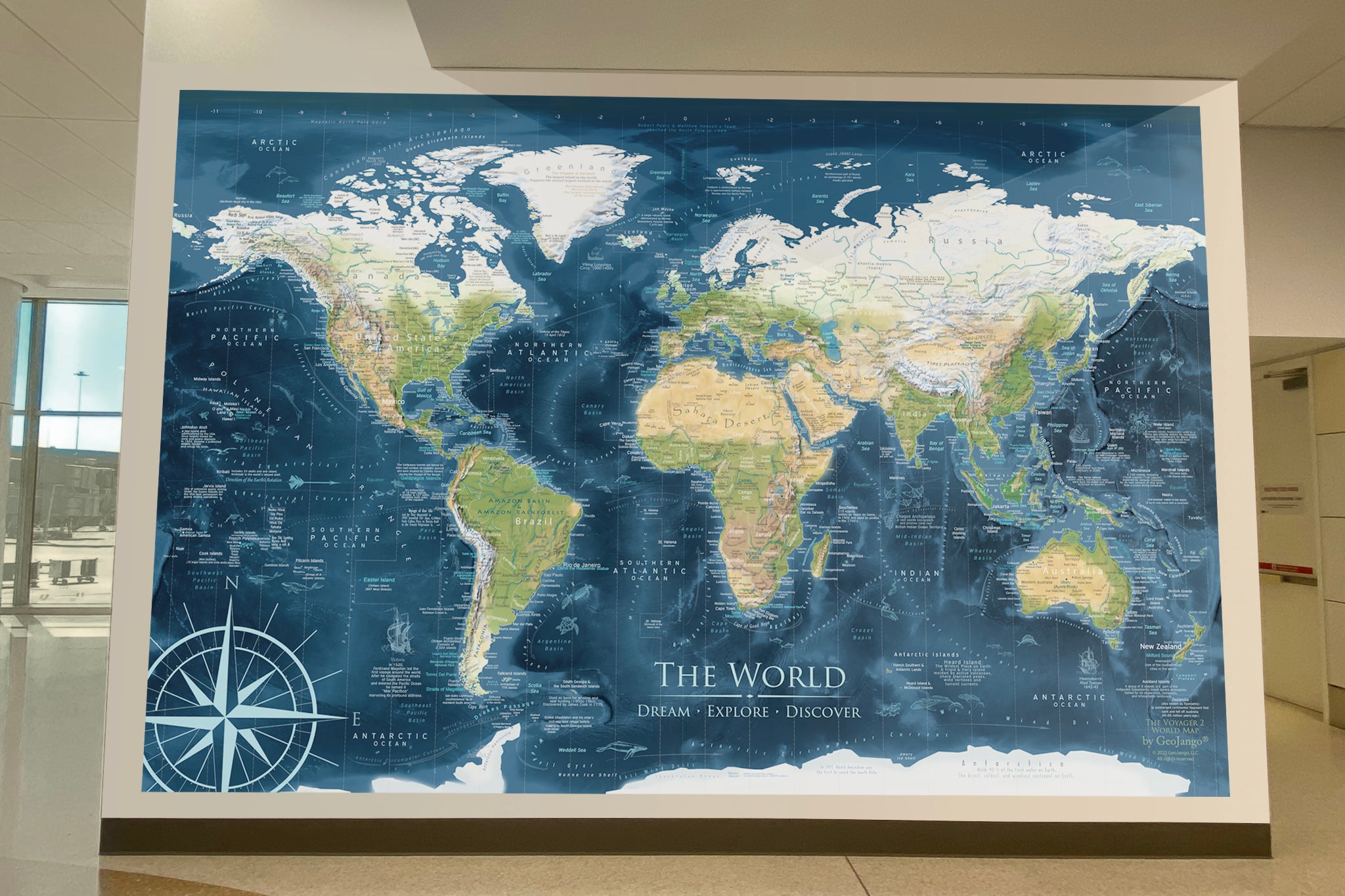
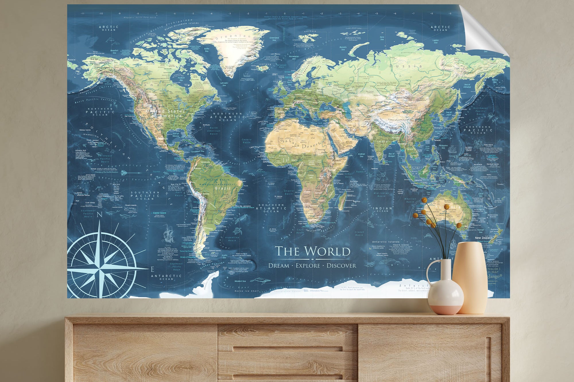
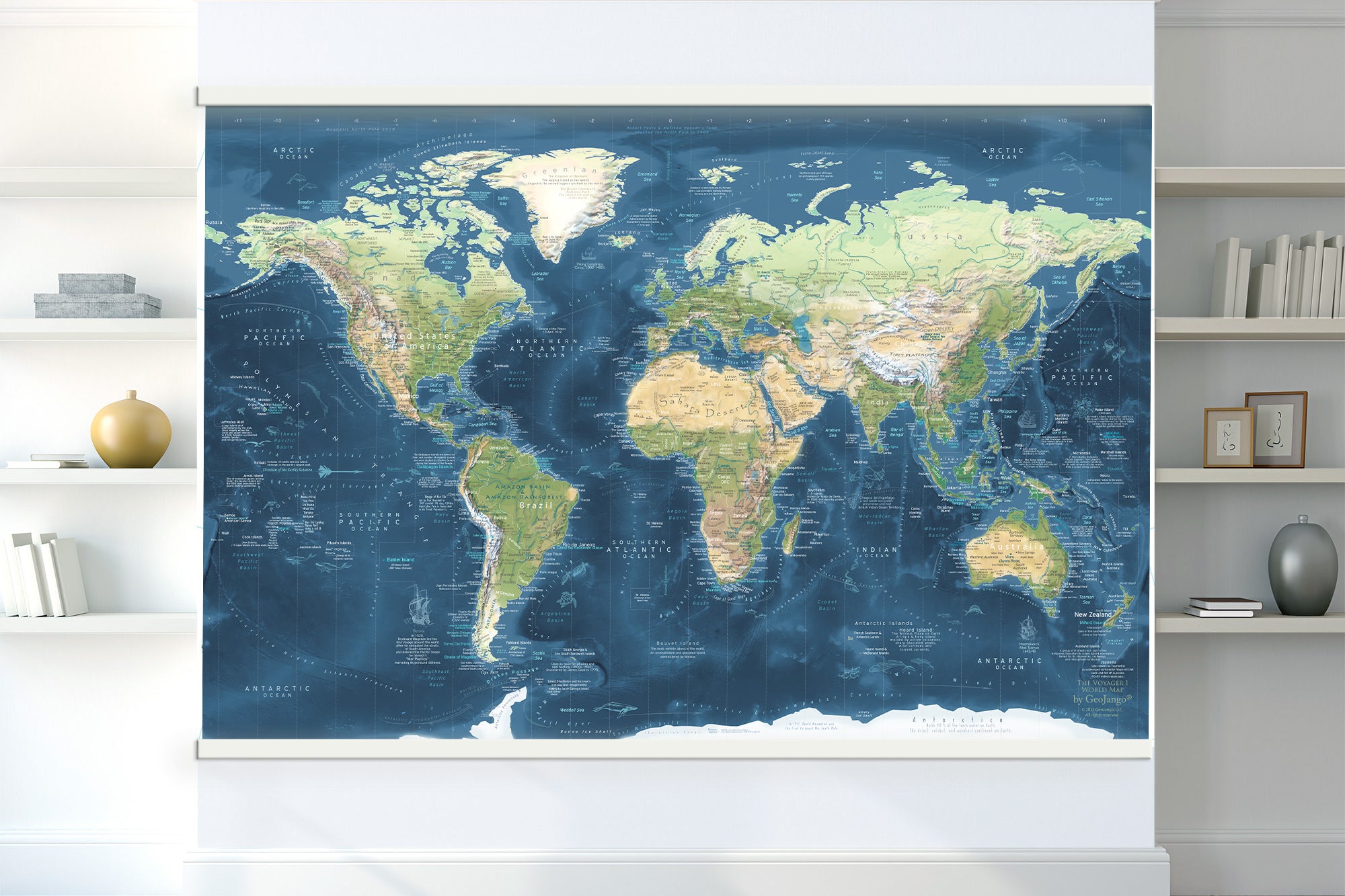
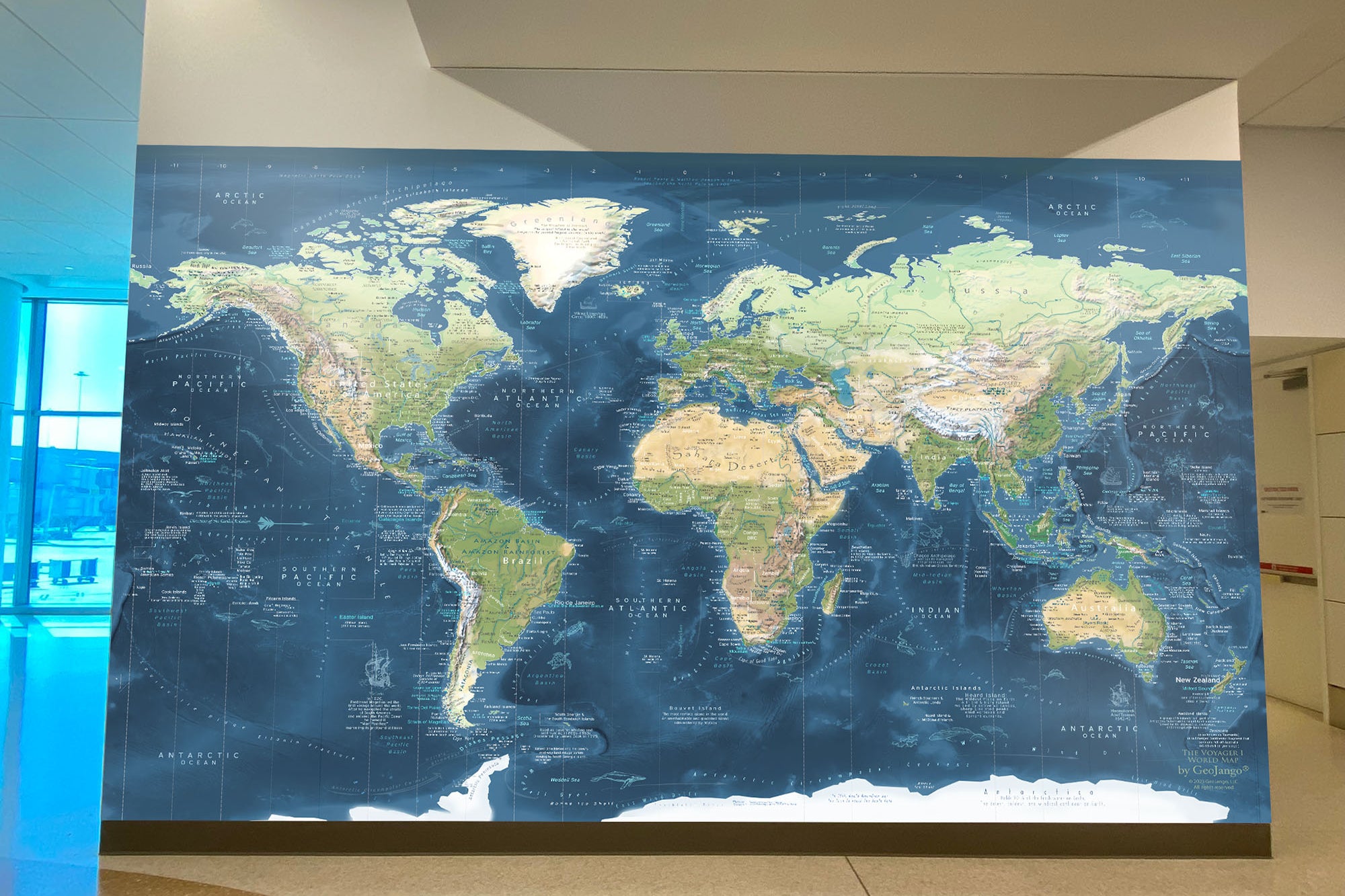
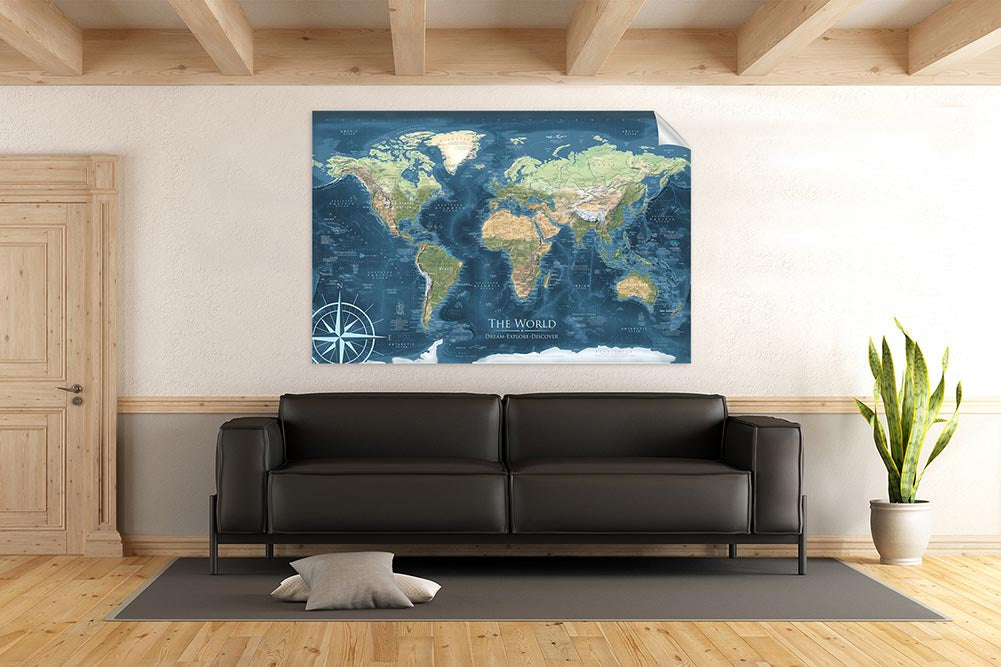
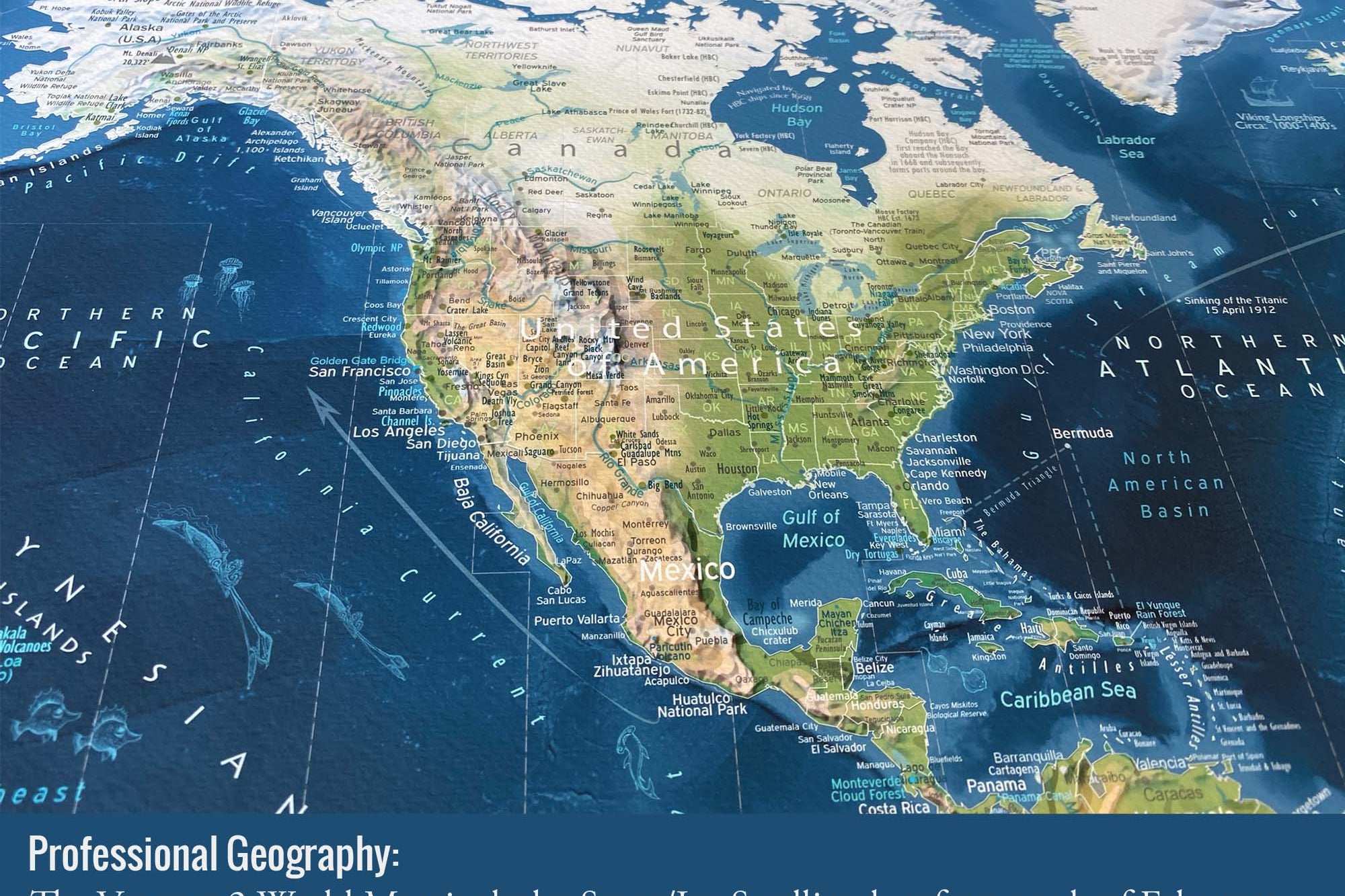
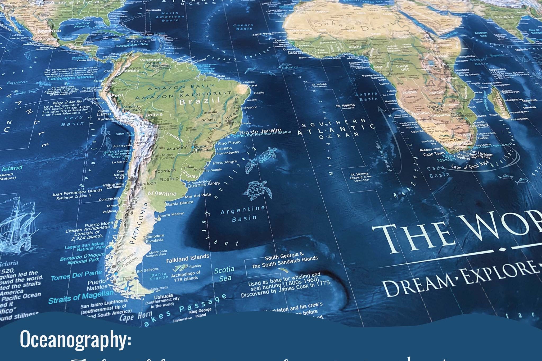
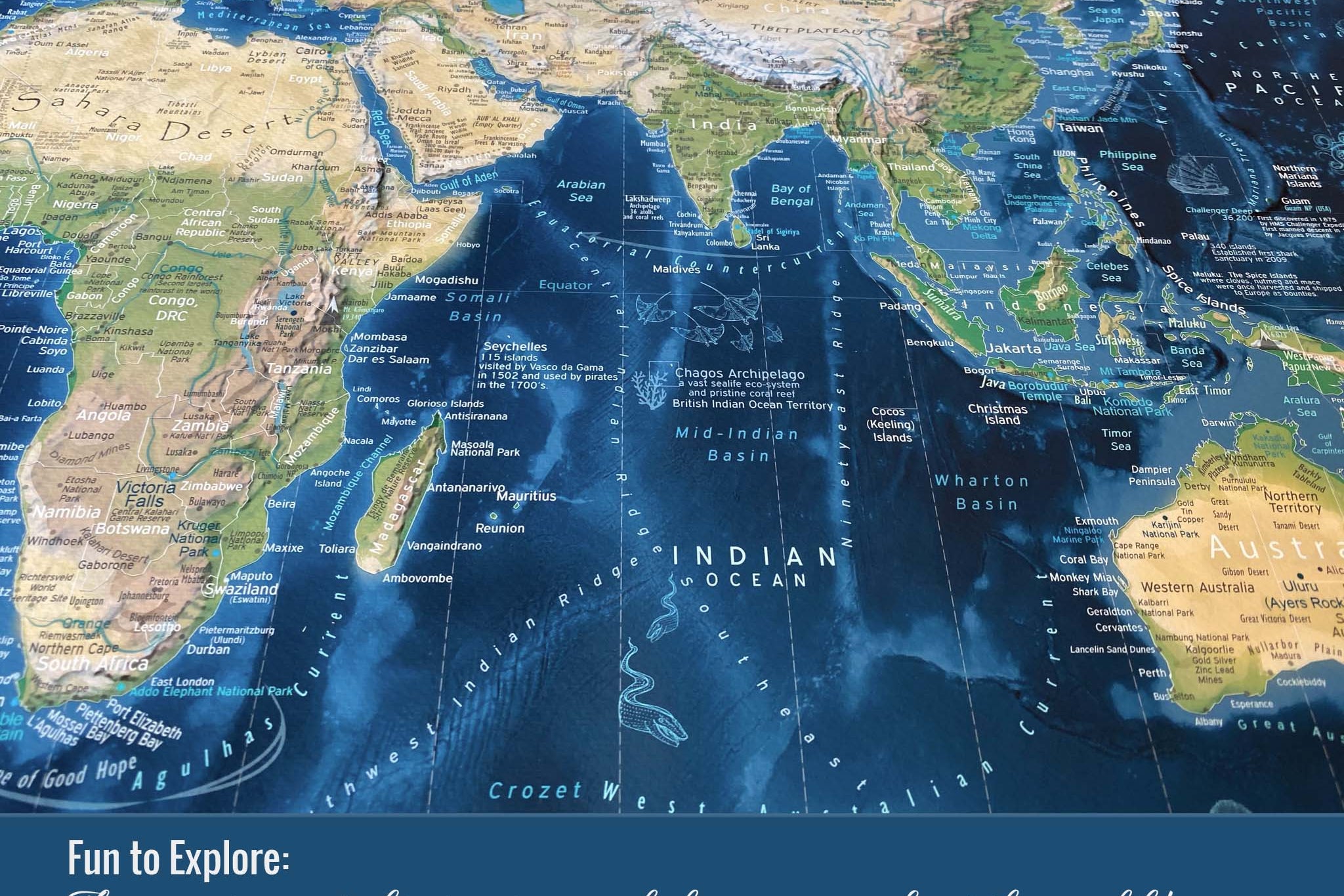
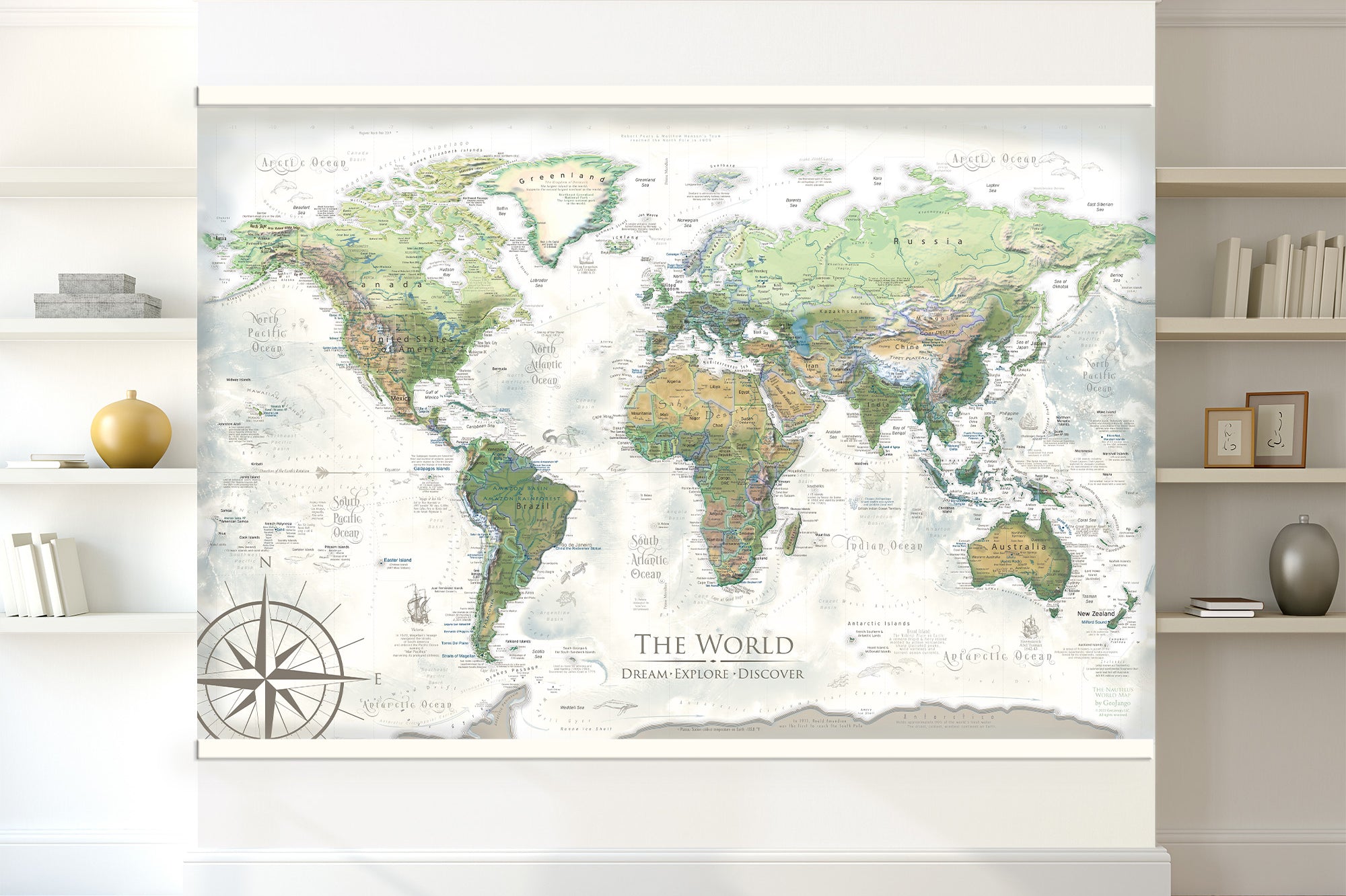
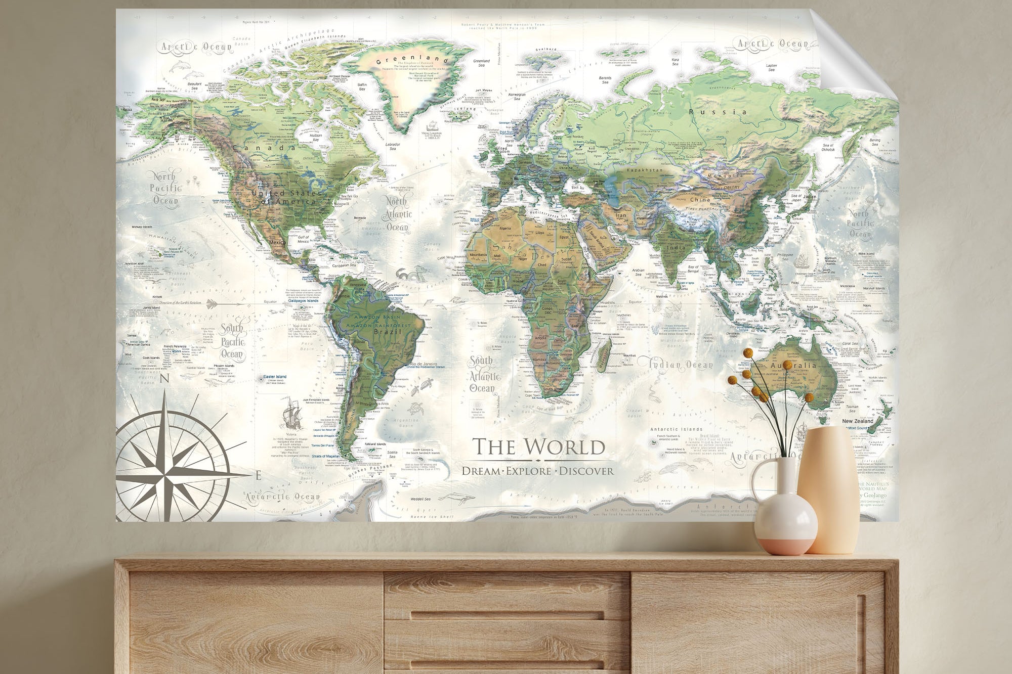
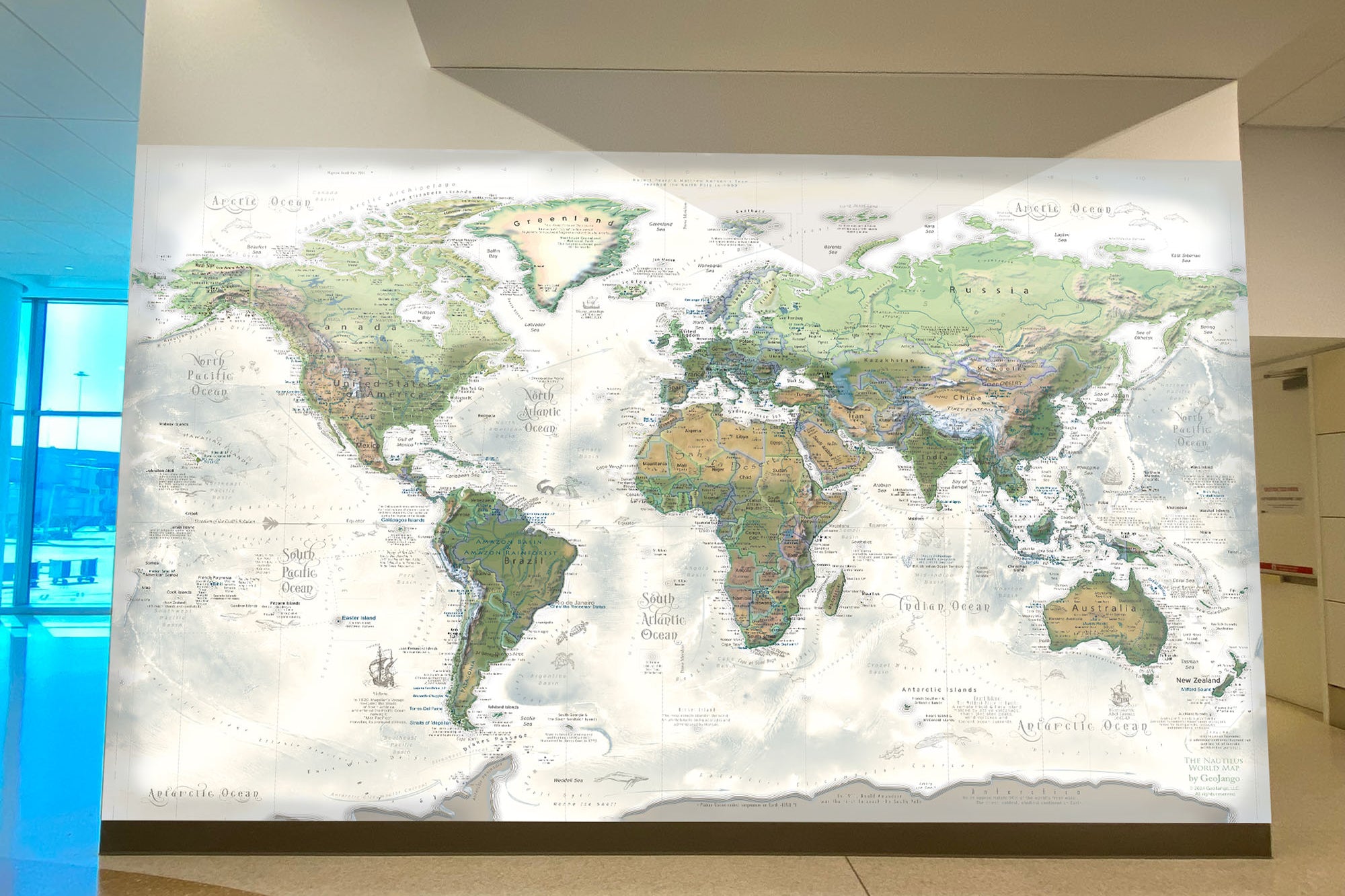
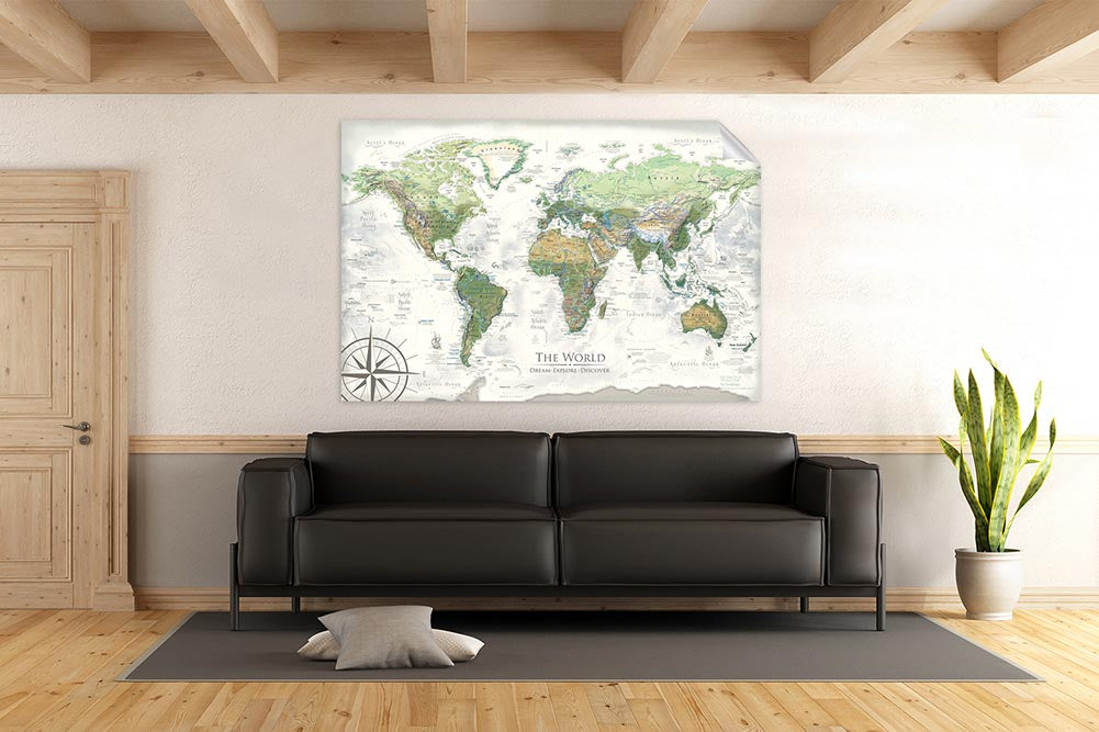
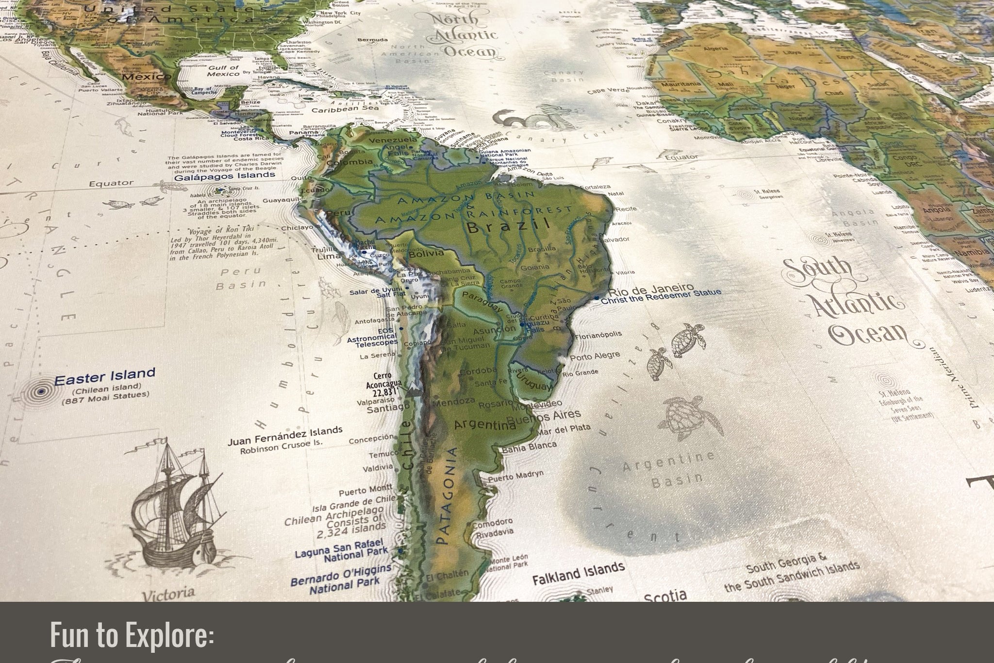
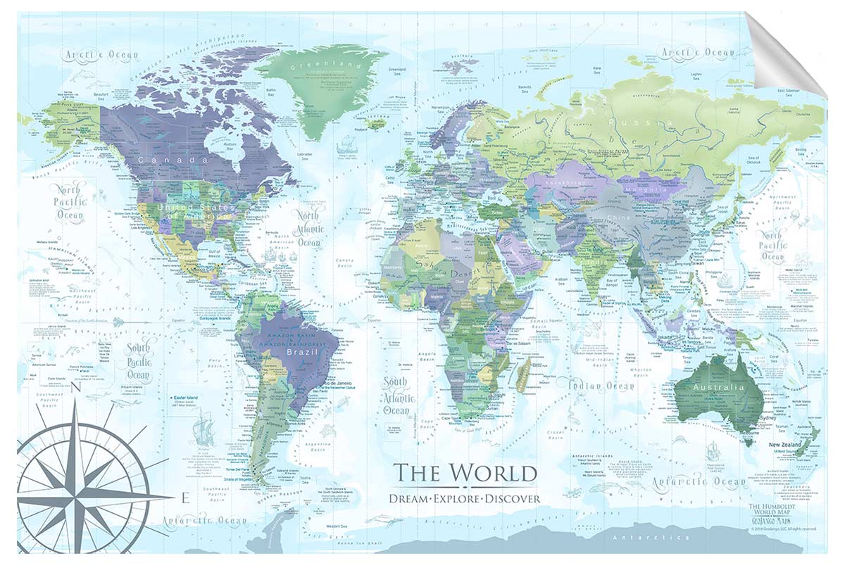
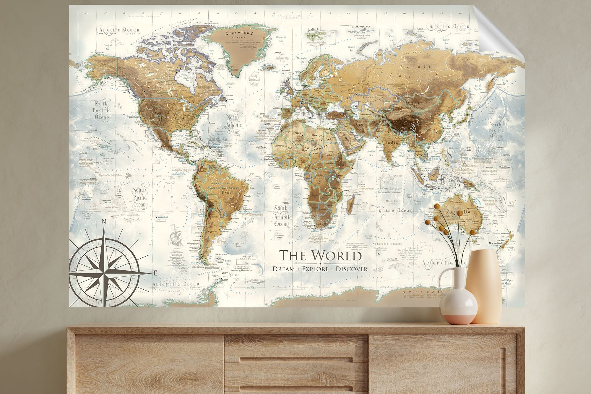
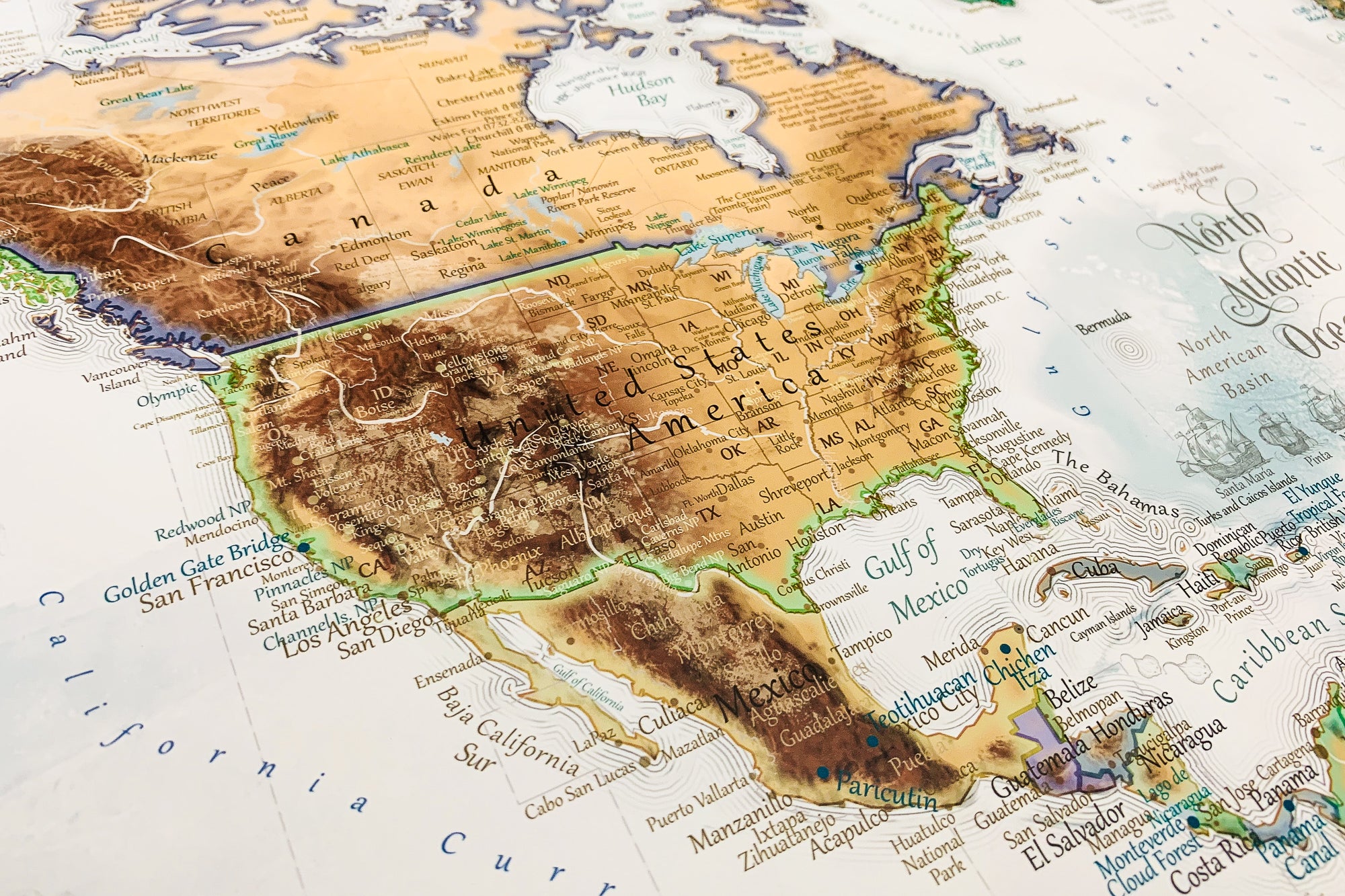
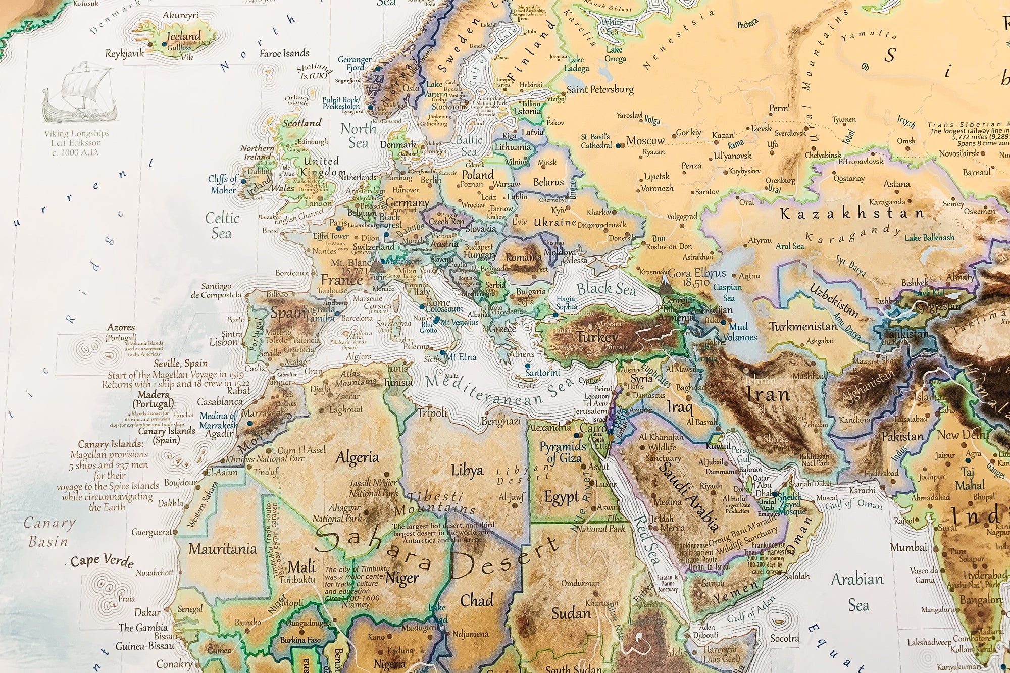
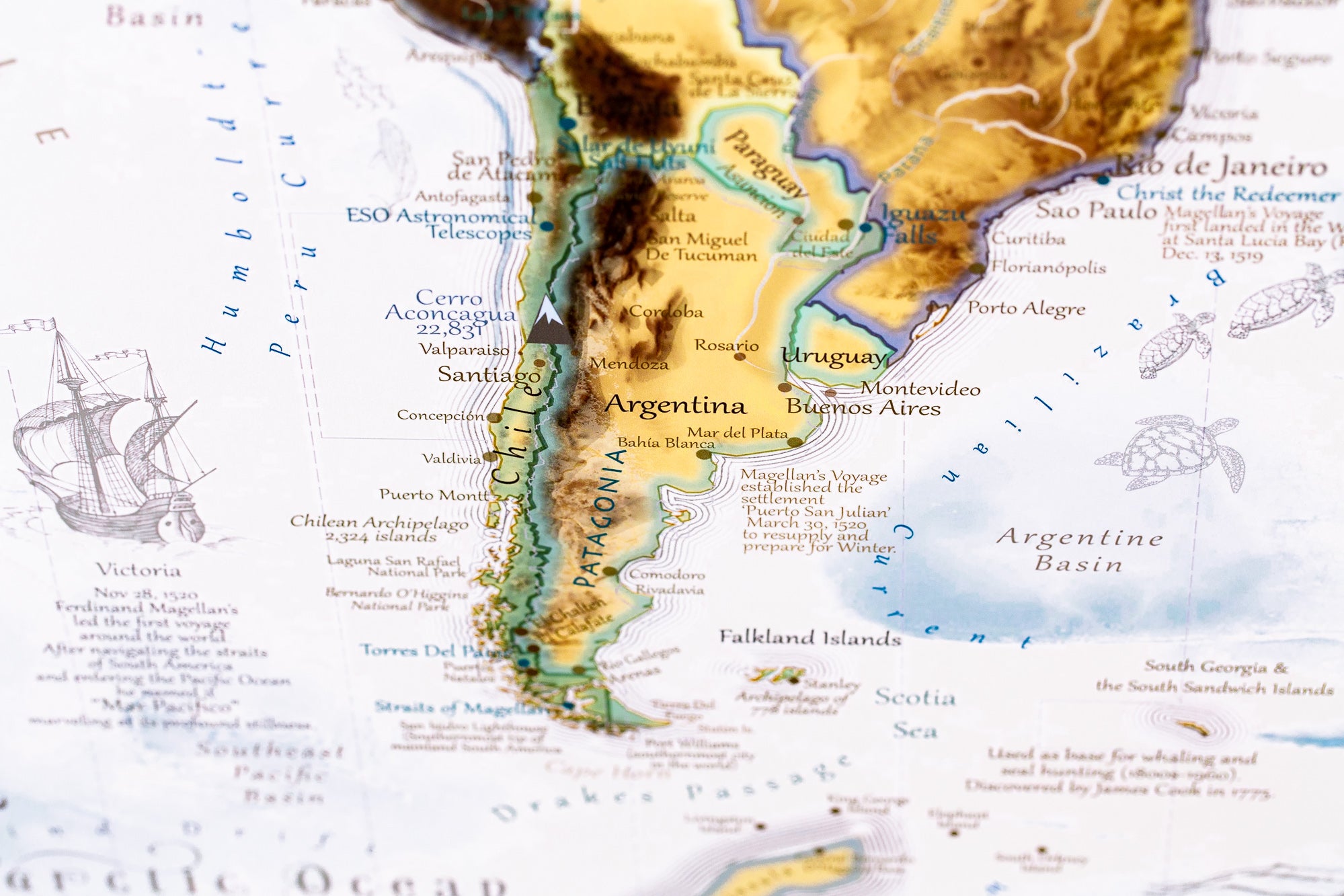
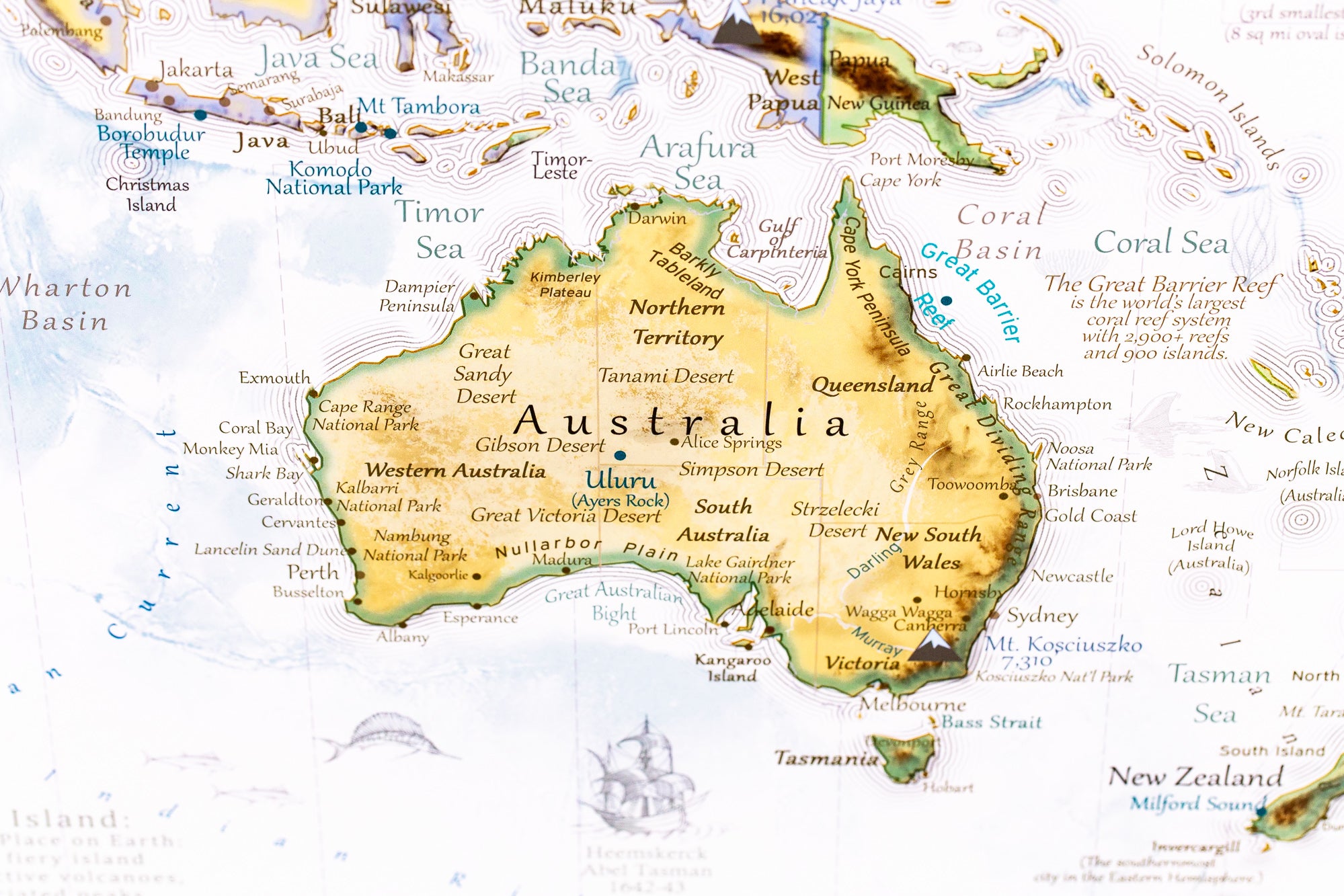
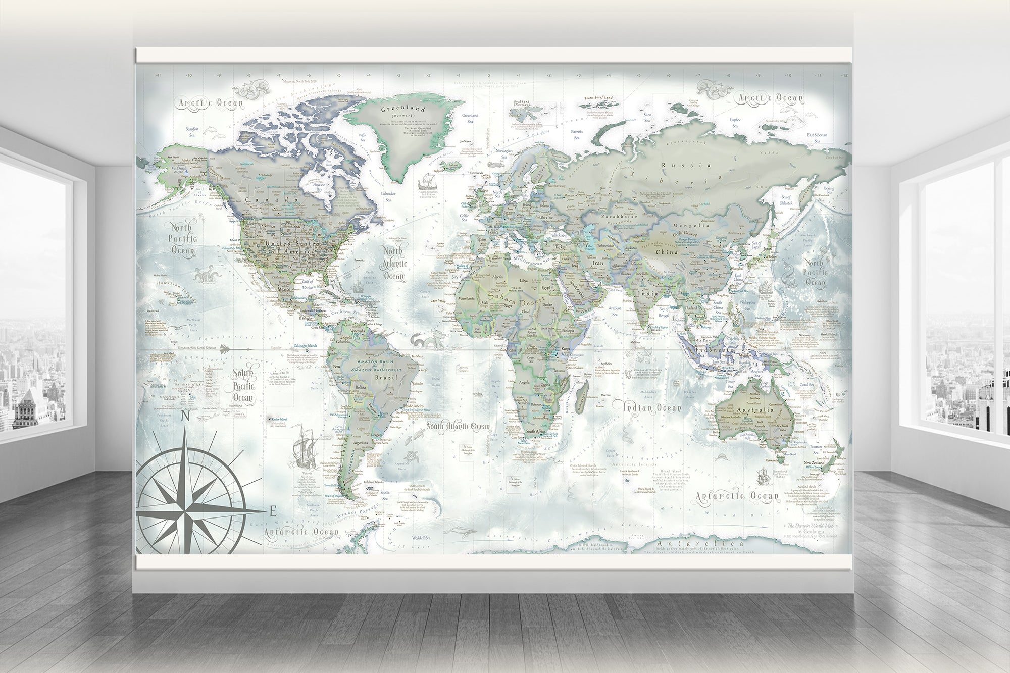
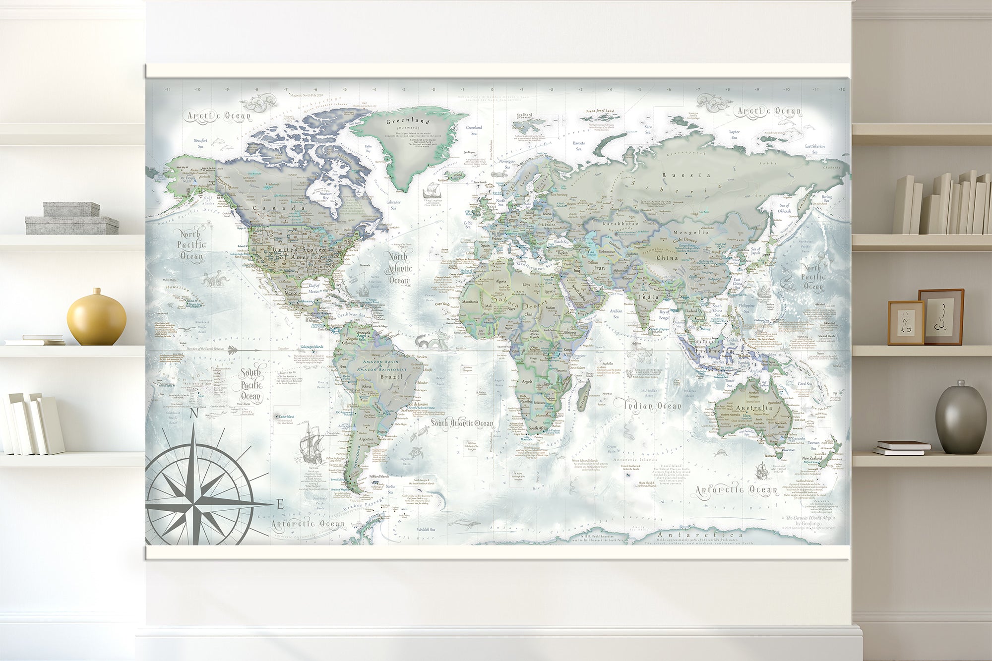
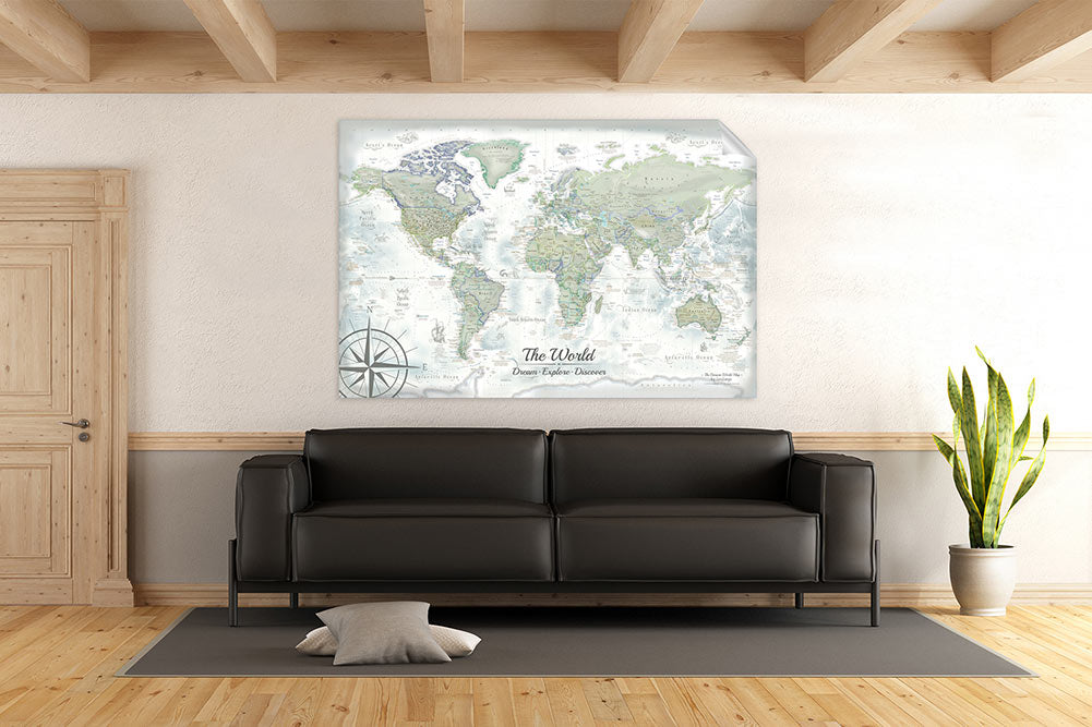
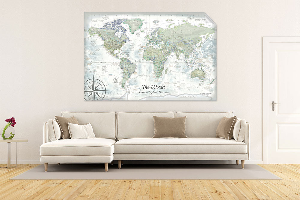
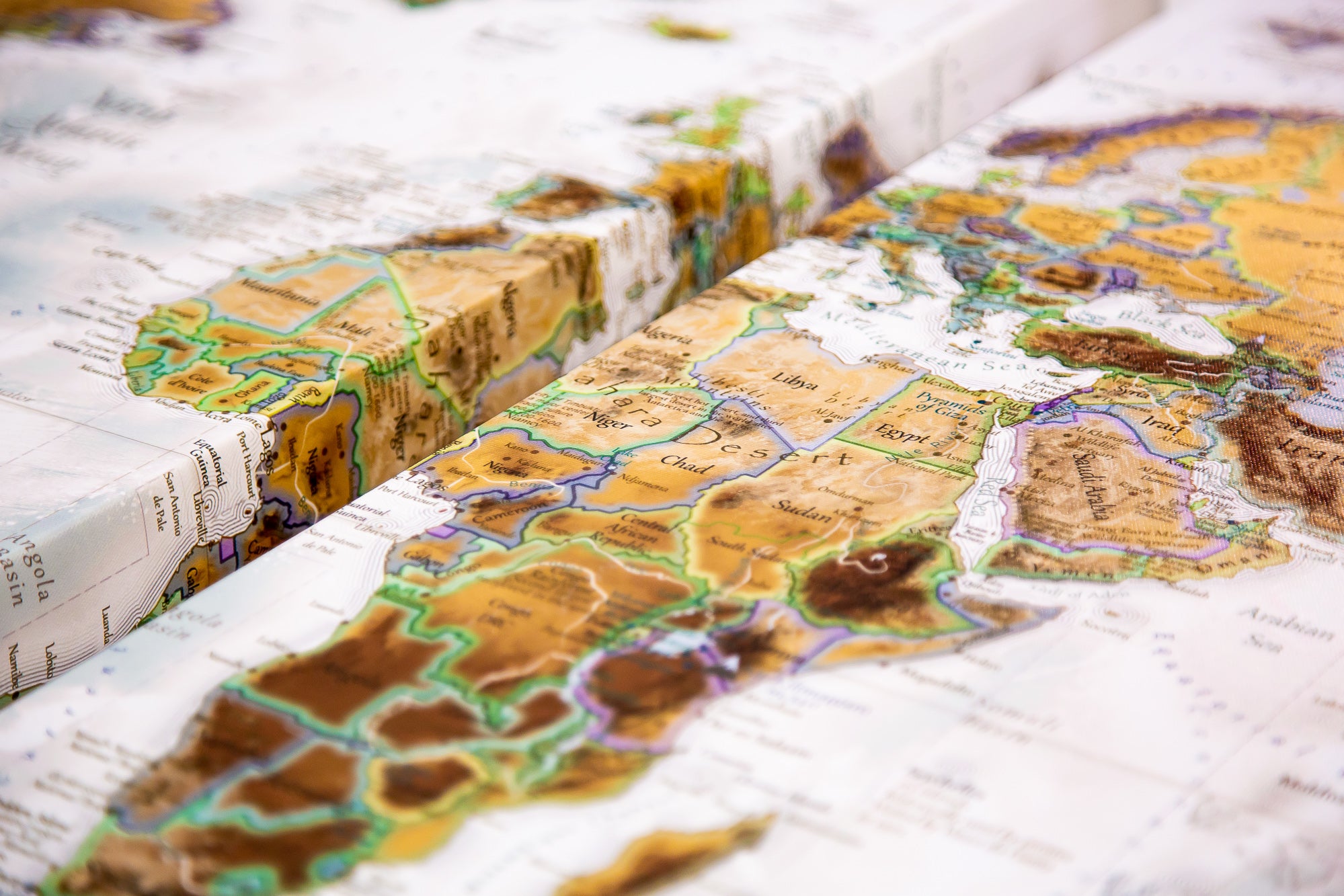
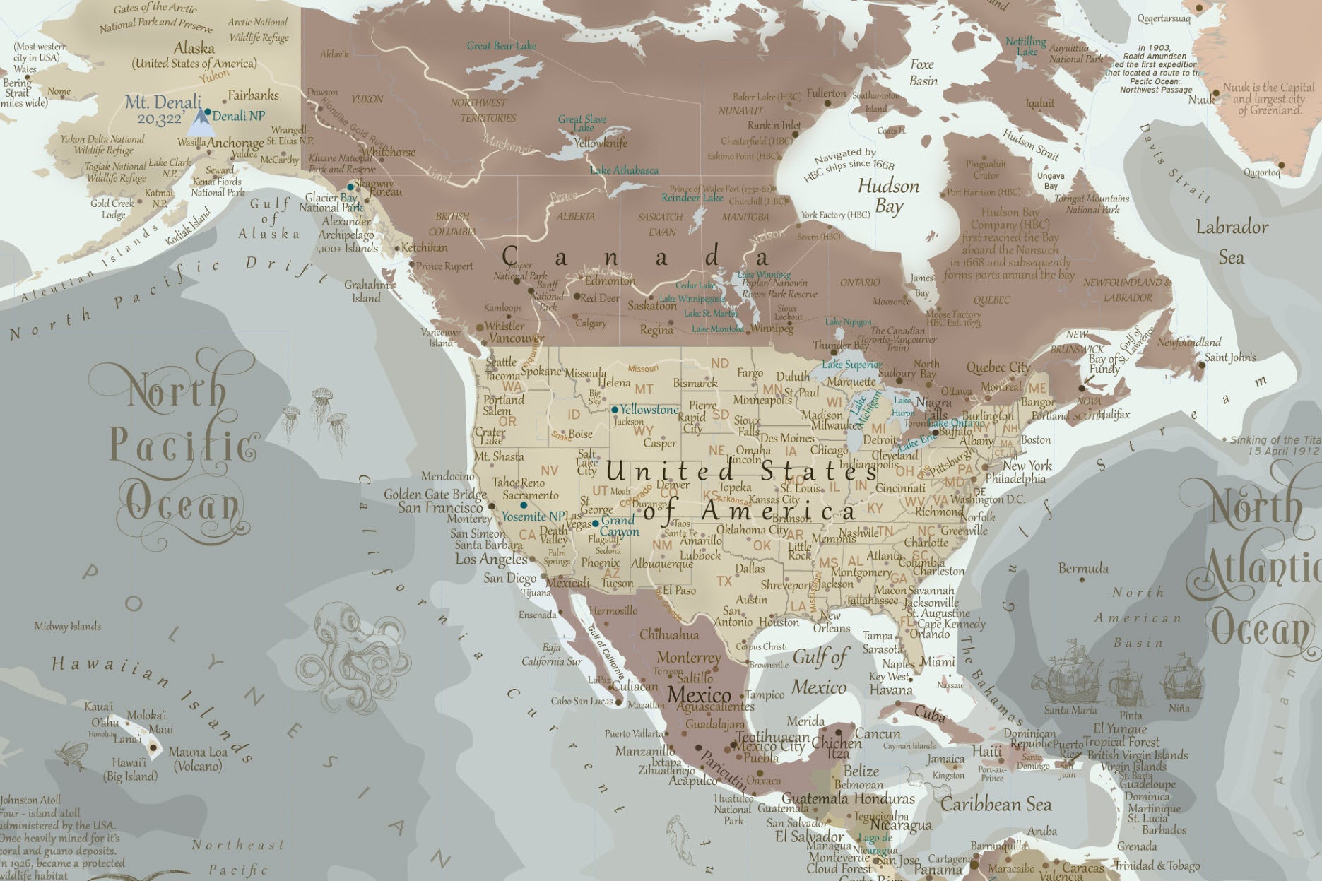
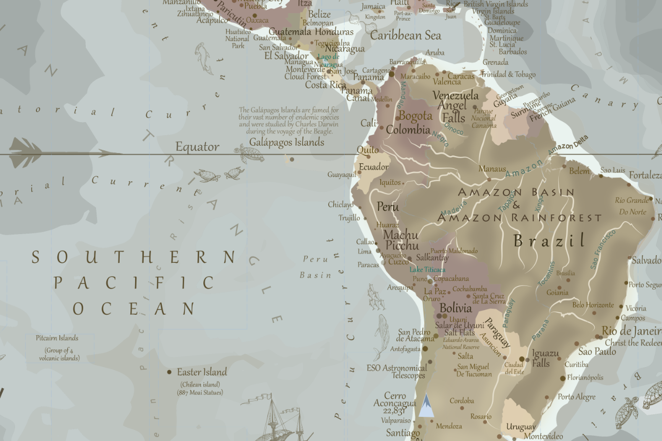
Our maps are developed using authentic satellite imagery, elevation models, and spatial data from trusted sources like NASA, ESA, and Esri GIS. We incorporate hillshading, topography, and terrain realism to help you explore the landscape with confidence and clarity.
Almost all other map producers in the market copy their geography from clipart. Our maps are unique - they are data-driven, scientifically modeled visualizations created by professionals. Our passion gave us the expertise and patience to invest the months to years to create the great works of art.
Learn more about our professional GIS and Remote Sensing expertise here.
🎓 Designed by Experts, Not Copied Maps
Each map is handcrafted by a GIS and Remote Sensing expert with decades of cartographic experience. It often takes weeks to months to create a single design.
This means you’re getting a map that reflects accurate geography, historical relevance, and meticulous attention to detail — the kind you’ll never find in templated or AI-generated map prints.
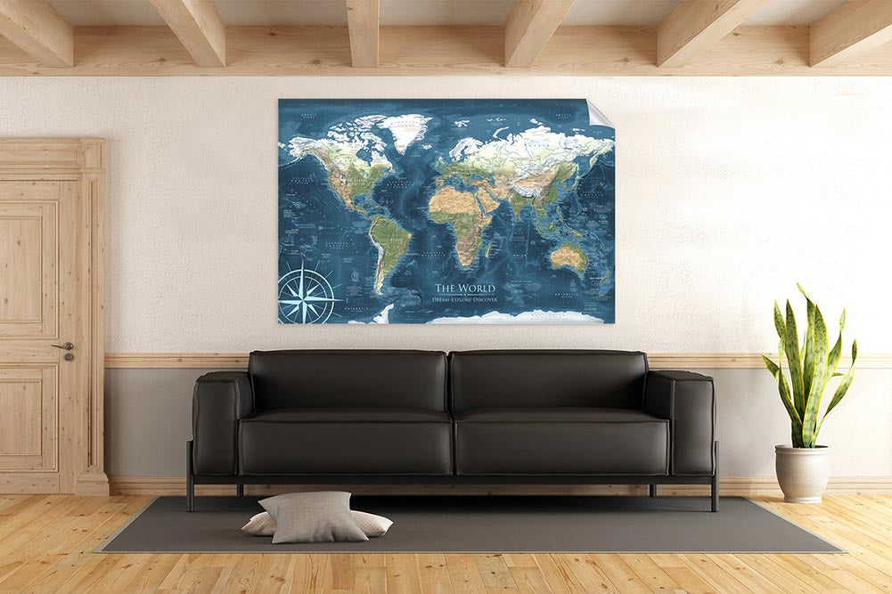
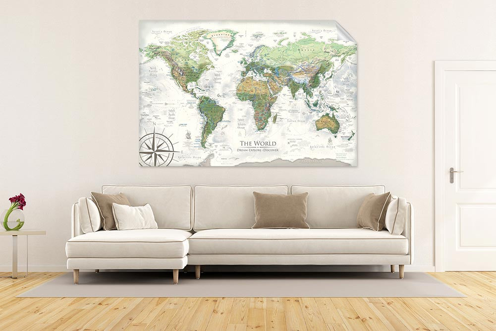
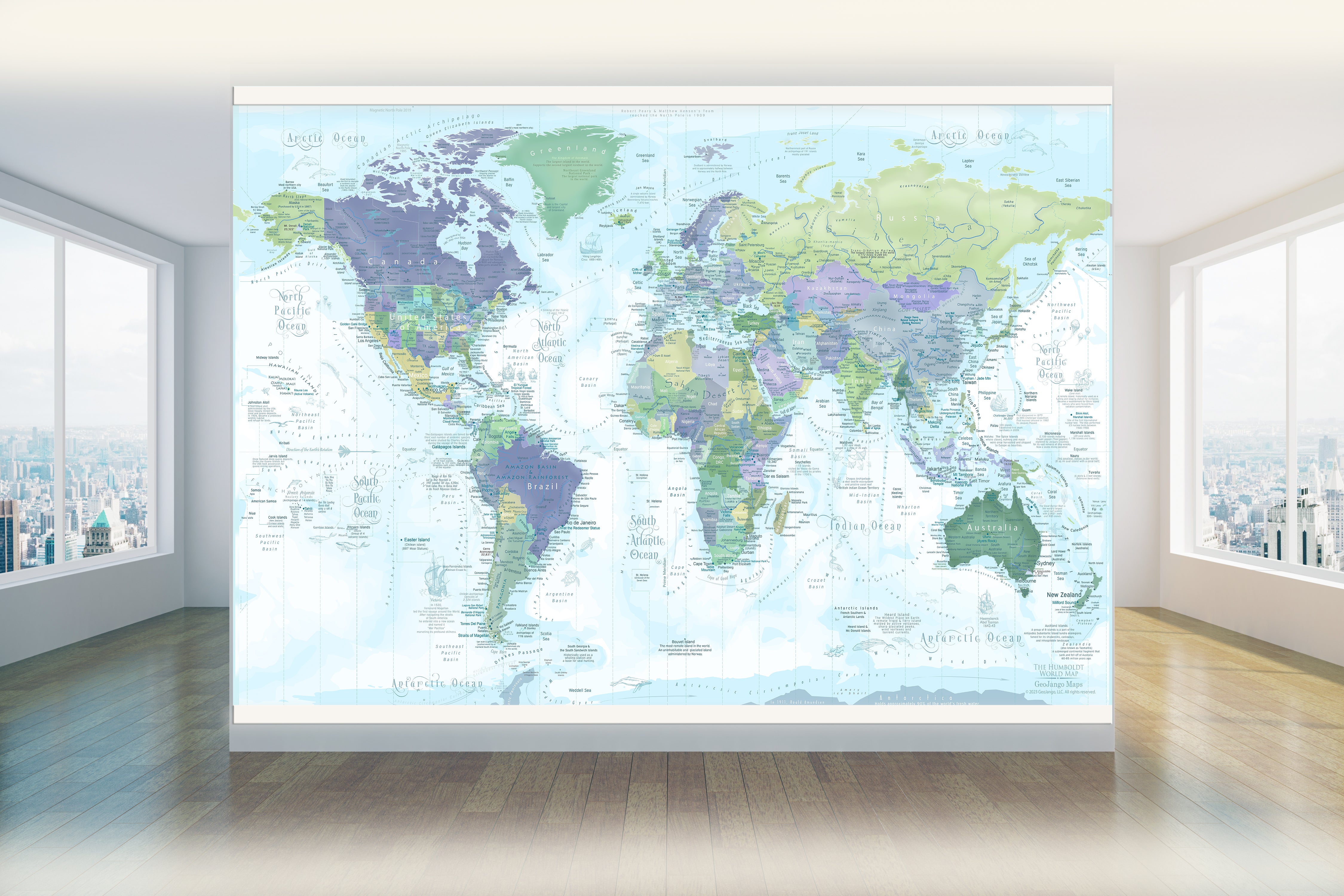
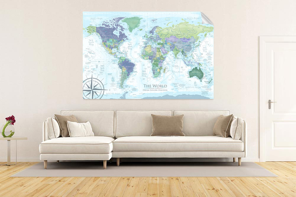
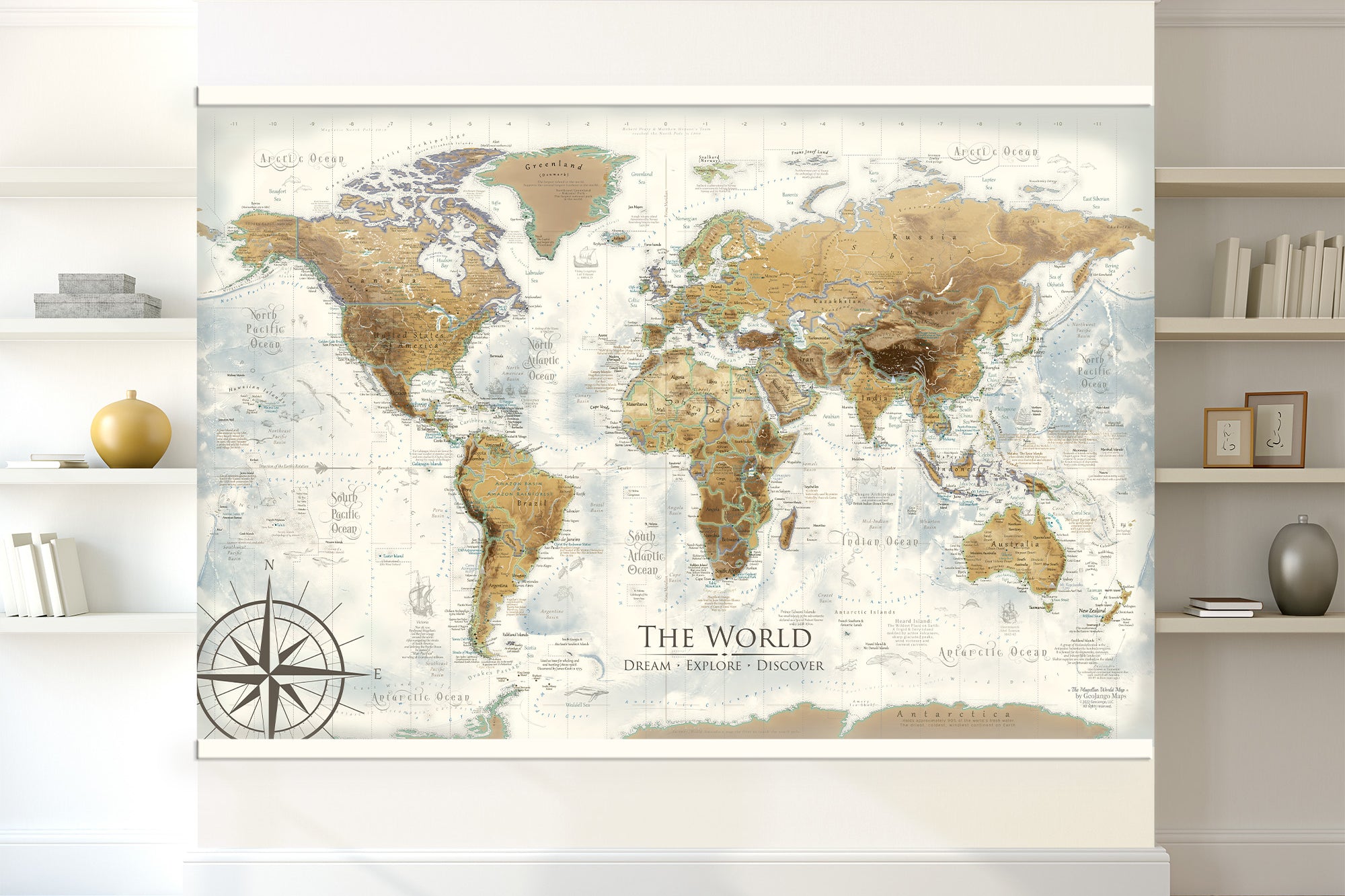
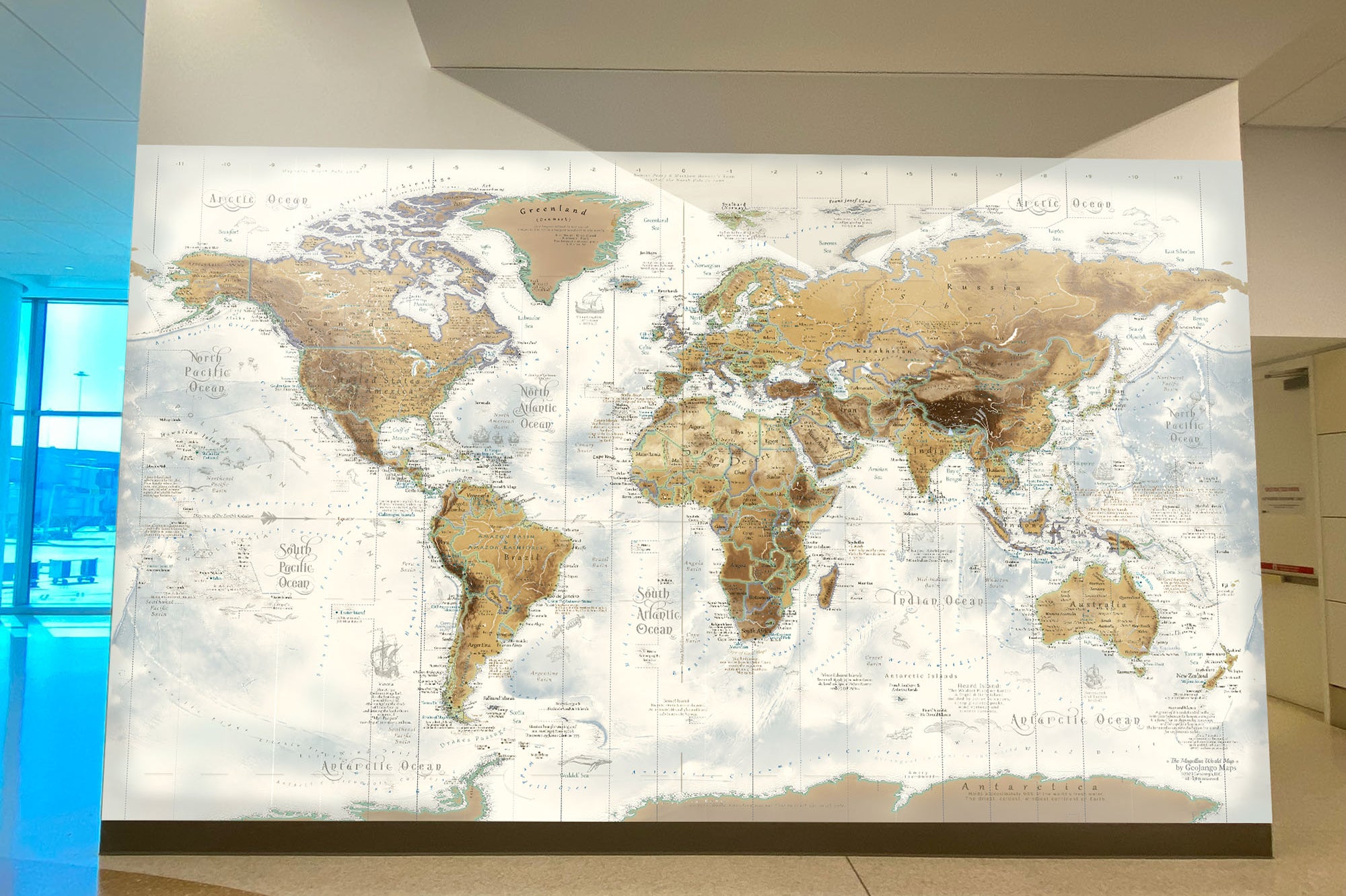
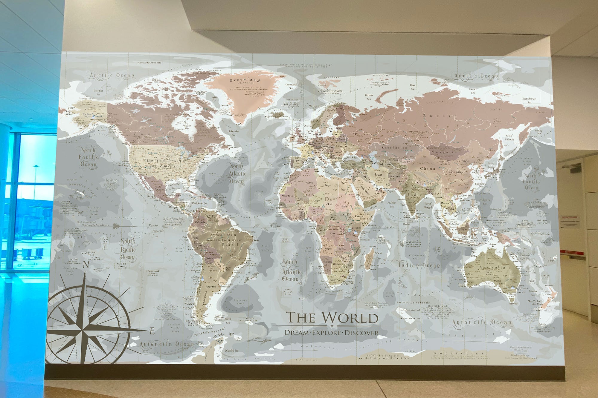
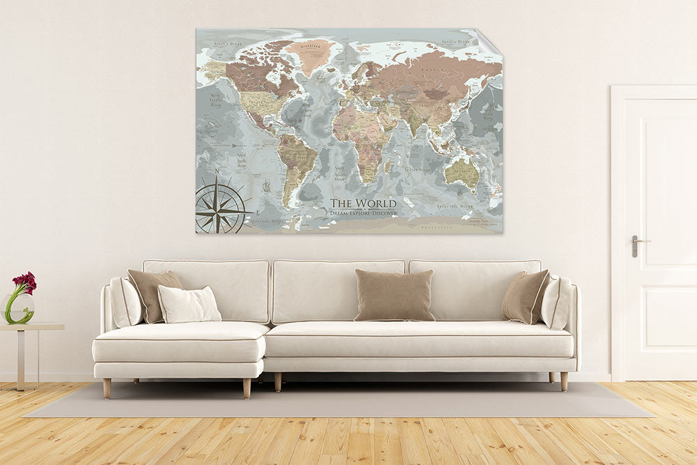
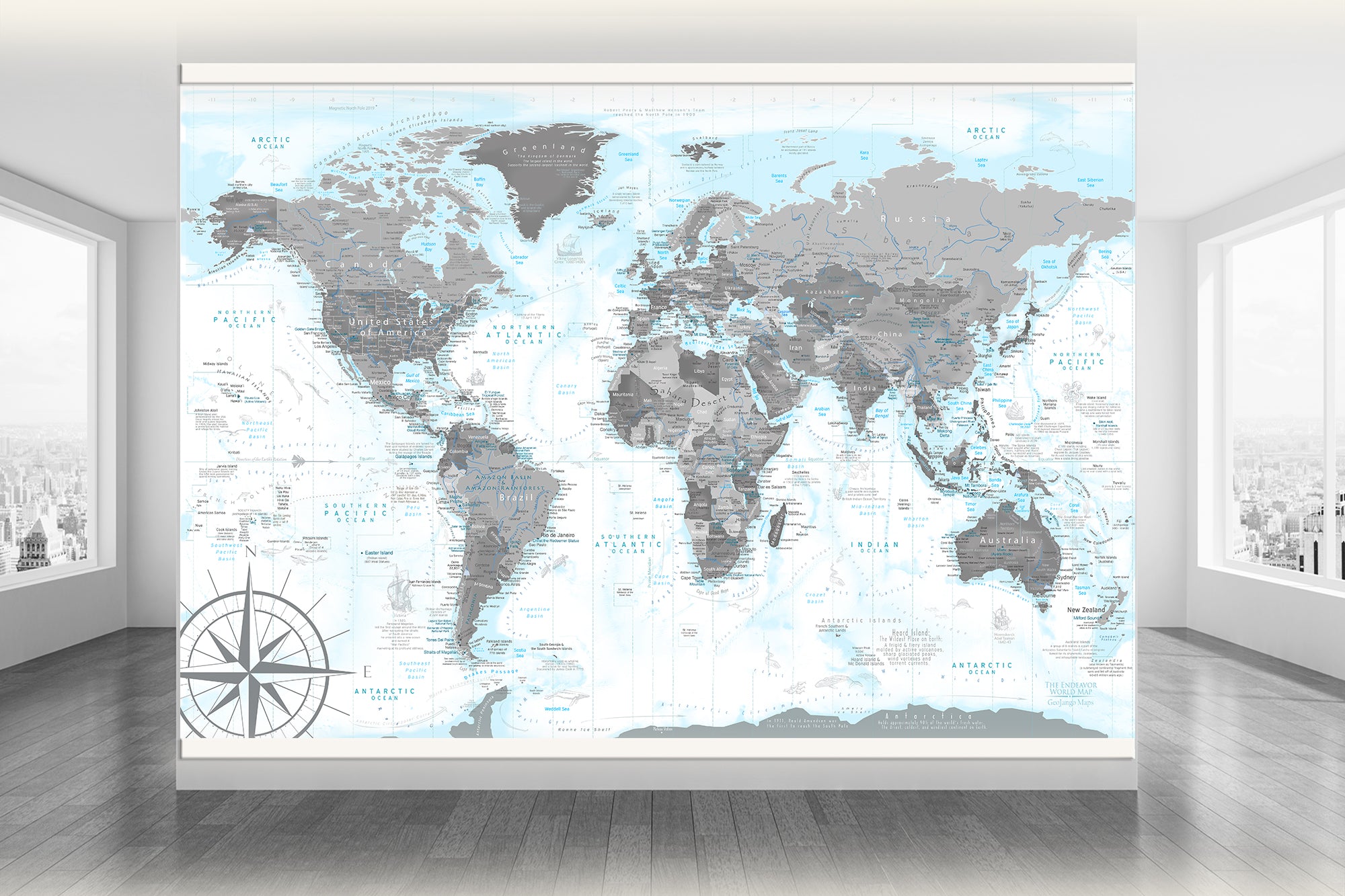
🏗️ Individually Produced as Fire Artwork (not mass-produced)
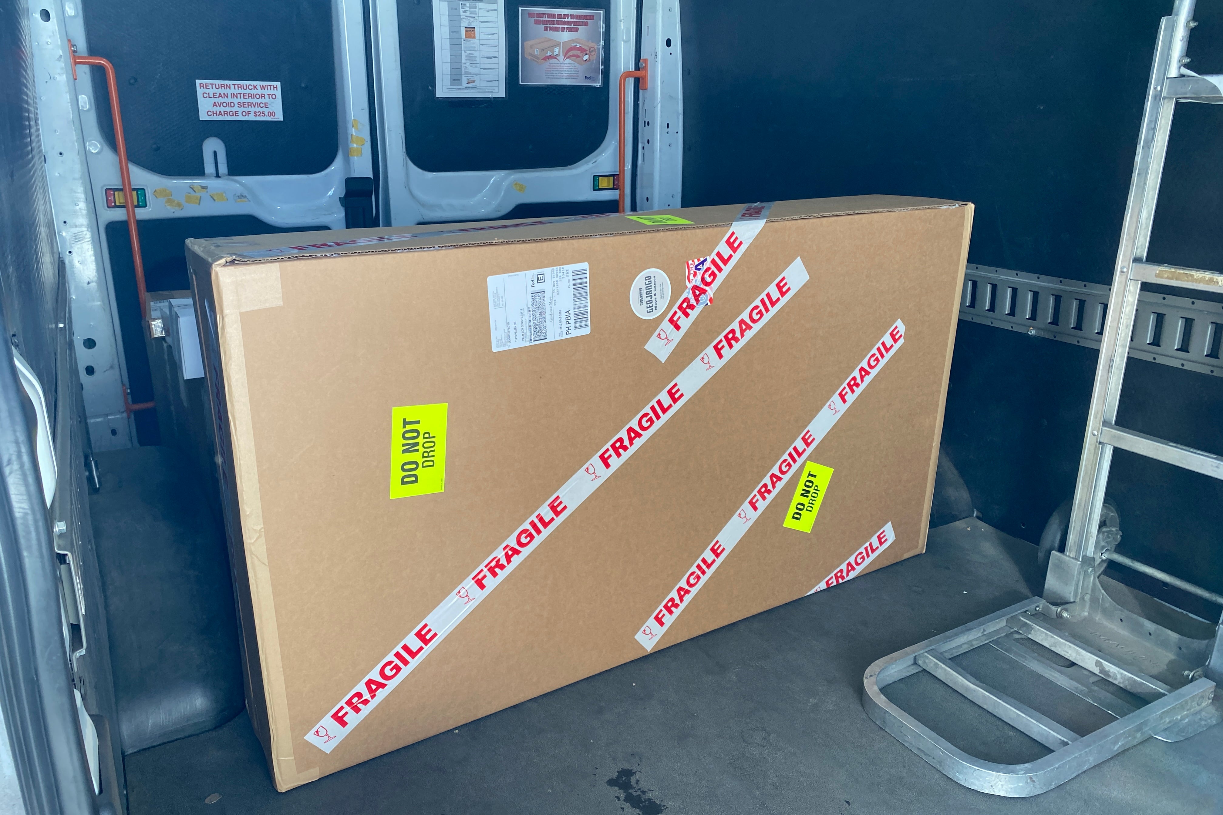
Every map is printed to order in our Pleasanton, California facility using museum-quality materials, high-end printing systems, and custom finishing.
The result? Superior color fidelity, sharpness, and durability that will last for decades. These are heirloom-quality pieces, not disposable décor.
🚚 Shipping Costs Are Included — No Surprises
We include shipping in our pricing — even for large, oversized maps that often trigger 10–15% surcharges from UPS and FedEx. There are no hidden fees at checkout.
You get a transparent, all-inclusive price for a professionally packaged map that arrives ready to impress.
💡 The Extra Value You Get with GeoJango Maps
• Accurate, Research-Grade Data: Our maps reflect the real geography of the world, not generalized or outdated visuals.
• Professional Cartographic Integrity: We follow industry standards and update our work as new data becomes available.
• Informative Art and Science: Whether you're a traveler, educator, planner, or design enthusiast, our maps are both inspiring and useful.
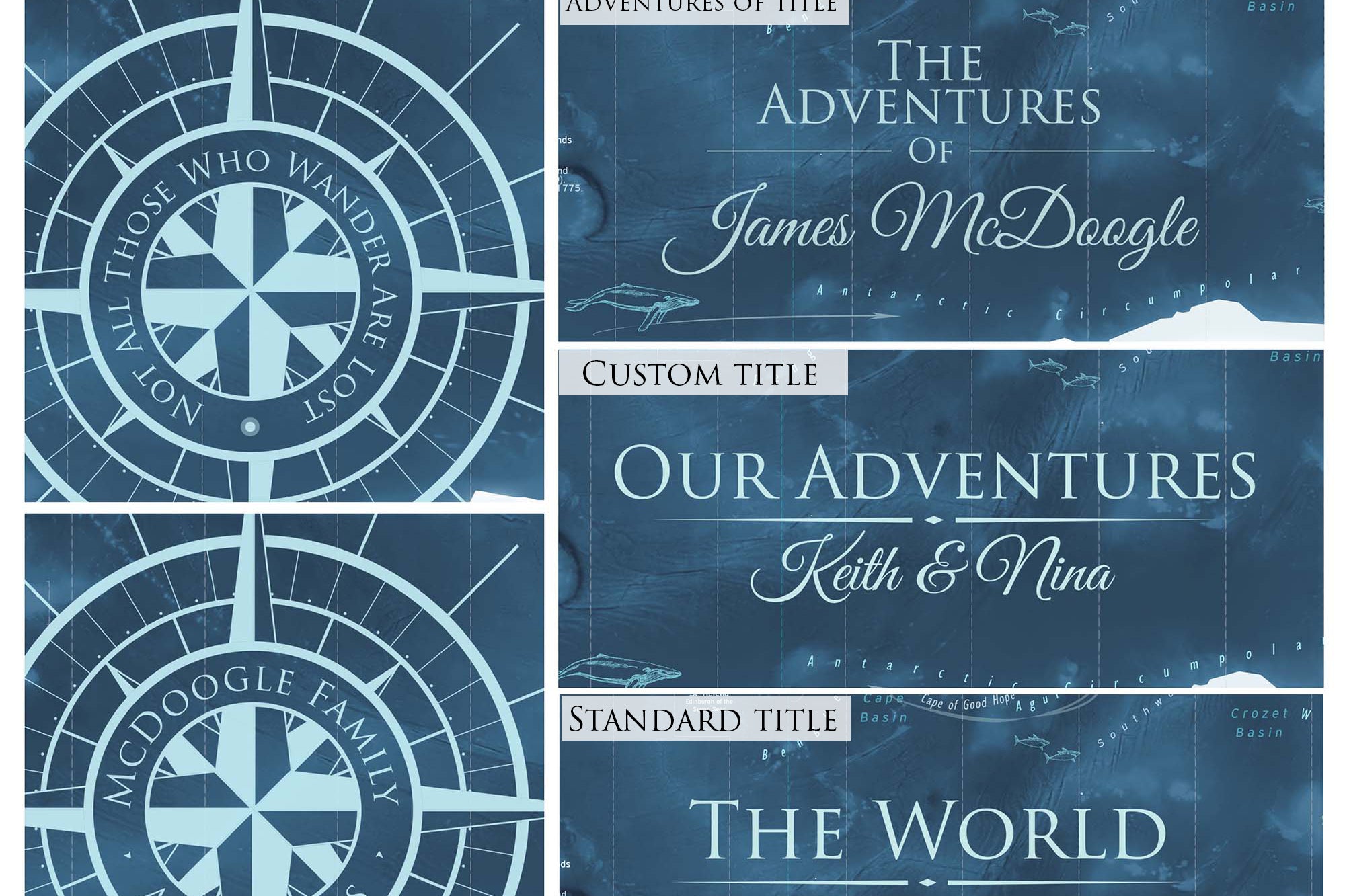
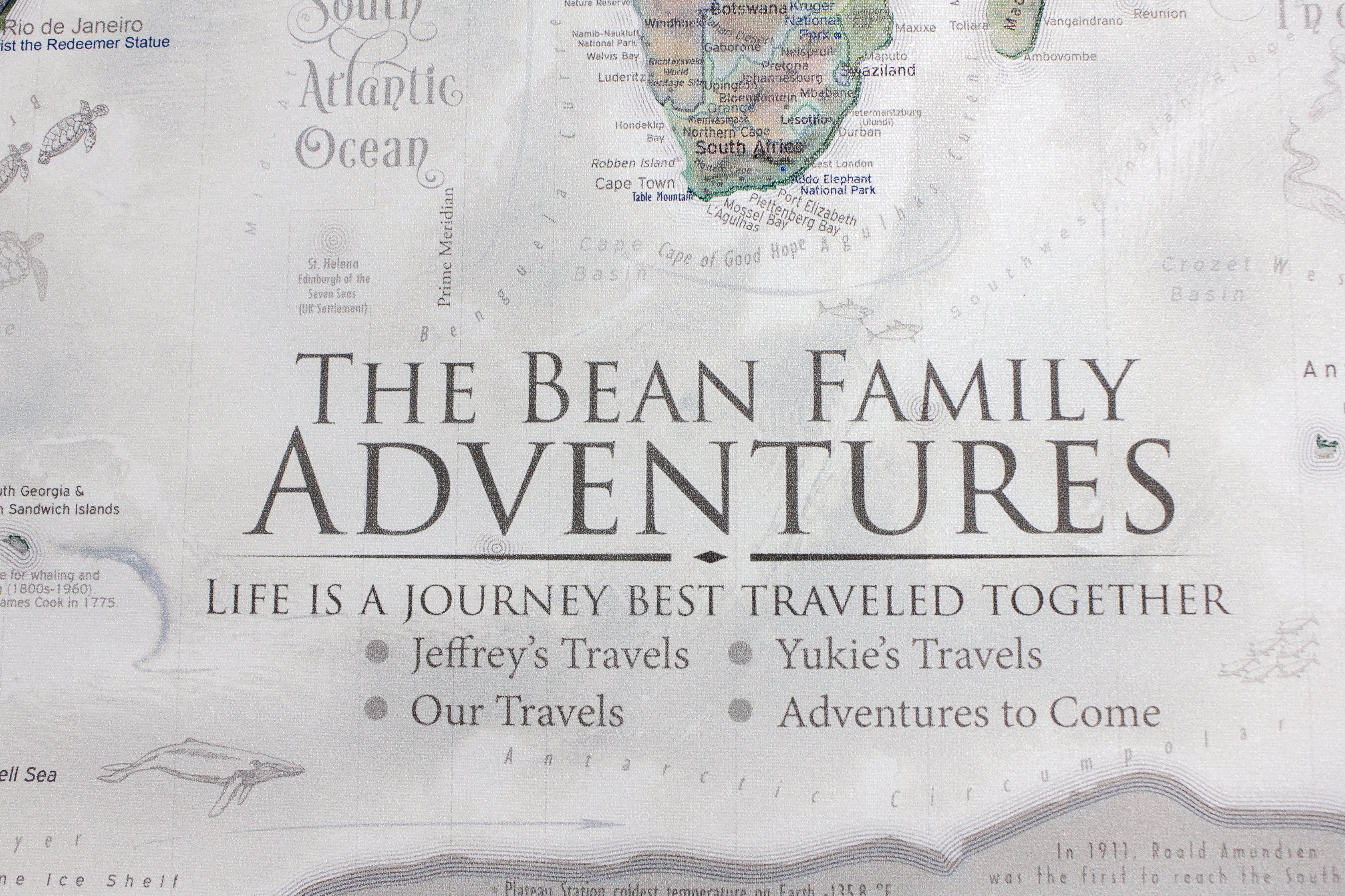
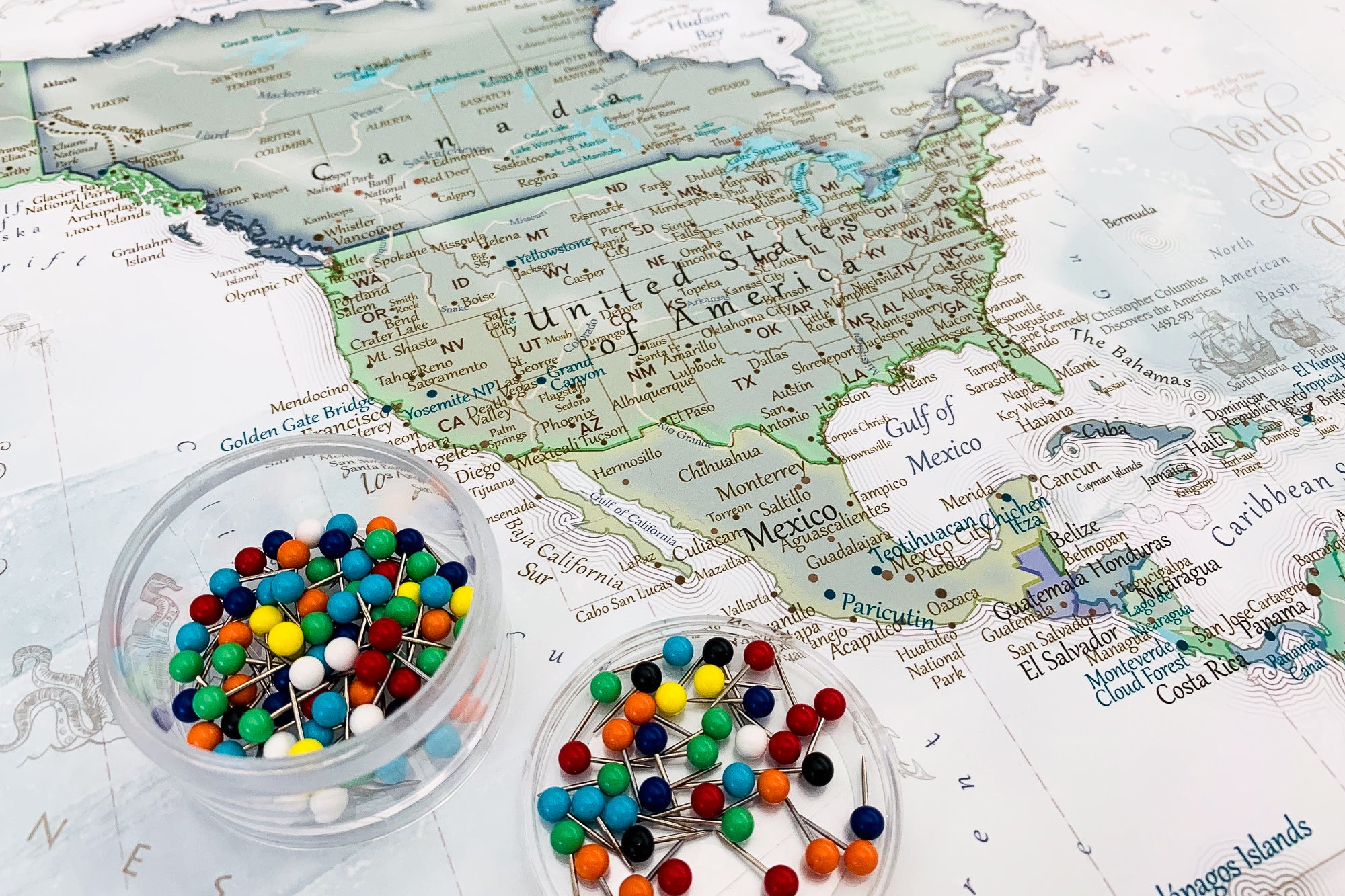
• Customization Options: Add custom labels, business locations, or personalized features to make your map truly unique.
👩💼 Supporting a Small, Woman-Owned U.S. Business
When you order a GeoJango Map, you’re not just buying a product — you're supporting a professional, U.S.-based business that:
• Is a leader in GIS, Remote Sensing, and Cartography
-
• Invests in local production and U.S. manufacturing
-
• Employs skilled professionals — not outsourced labor
-
• Partners with regional suppliers to support the American economy
-
• Operates from a custom-built map production facility in California
🧭 Invest in Quality, Not Compromise
Our pricing reflects the true cost of quality — not just materials, but the expertise, technology, and craftsmanship that go into every map. When you invest in a GeoJango Map, you're choosing lasting value, geographic accuracy, and a product that you’ll be proud to display for years to come.