


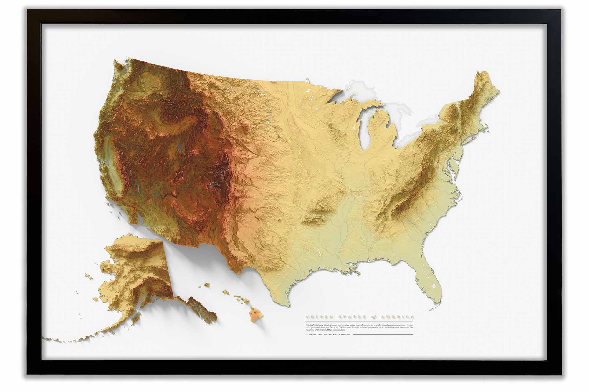
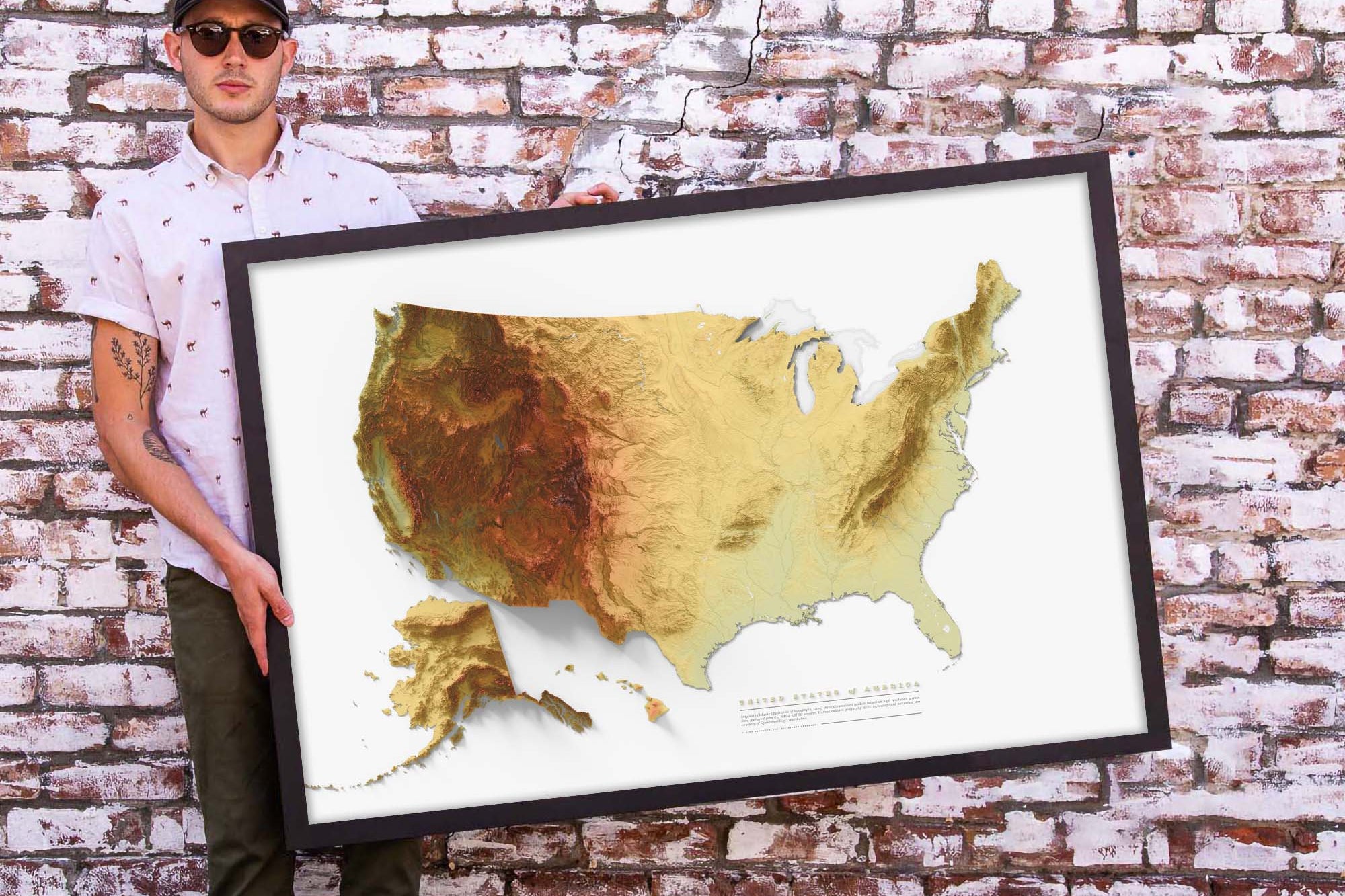
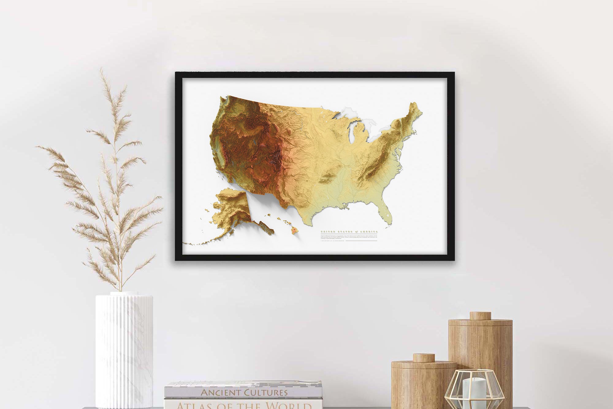
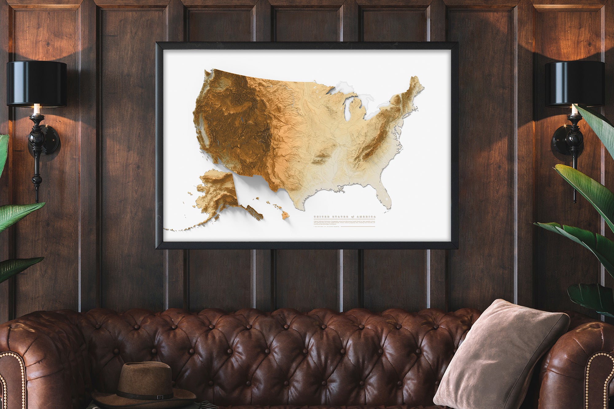
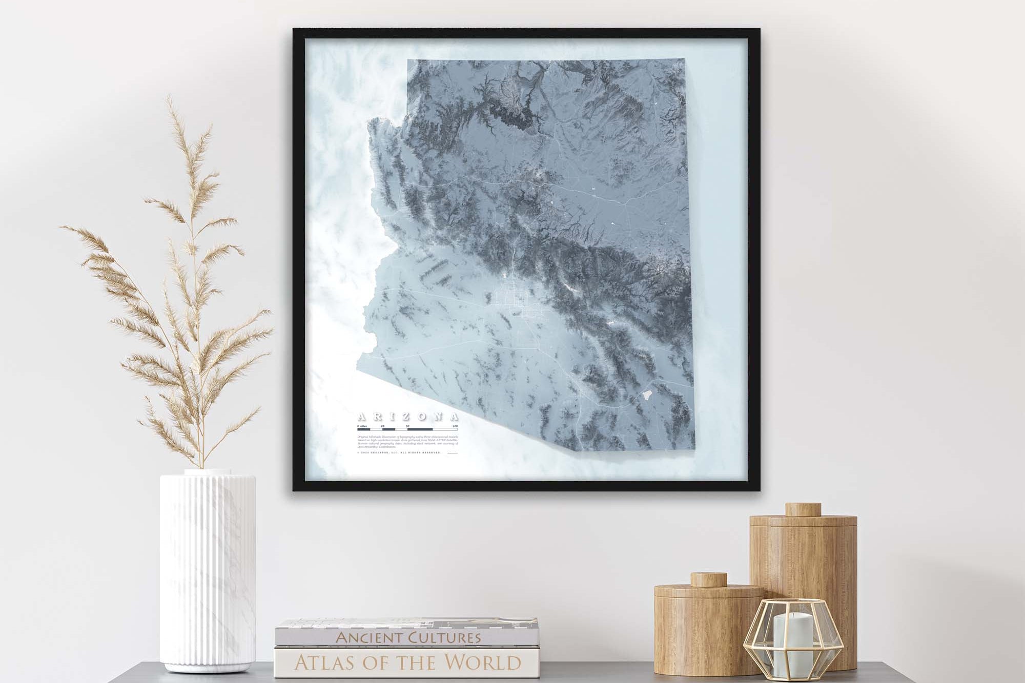
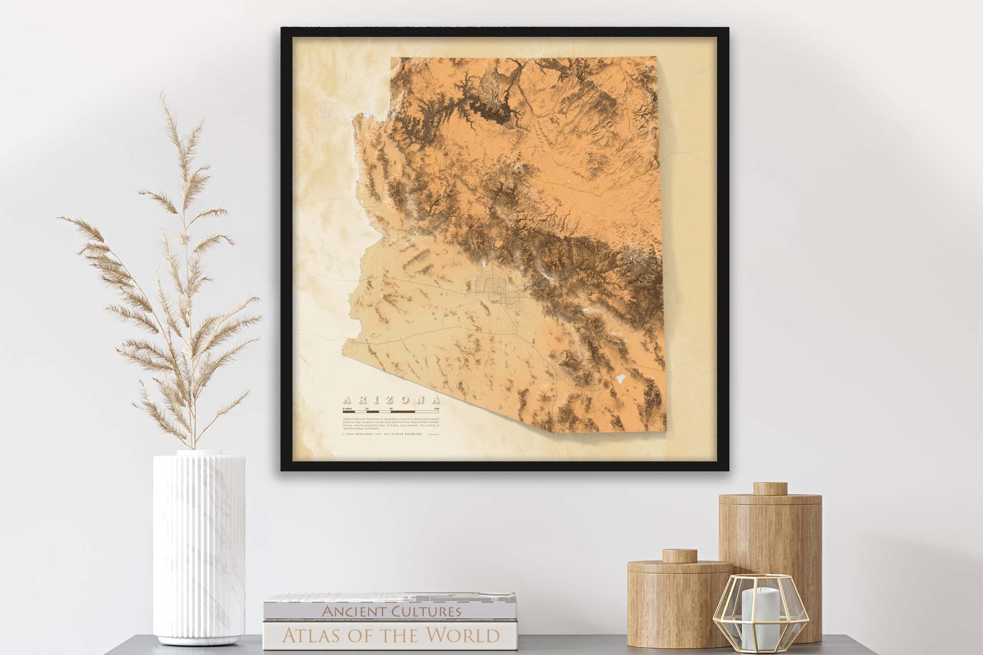
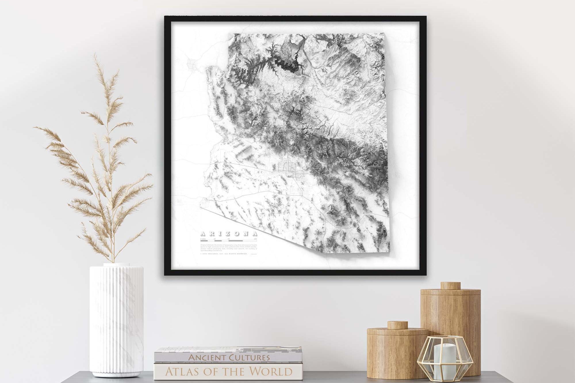
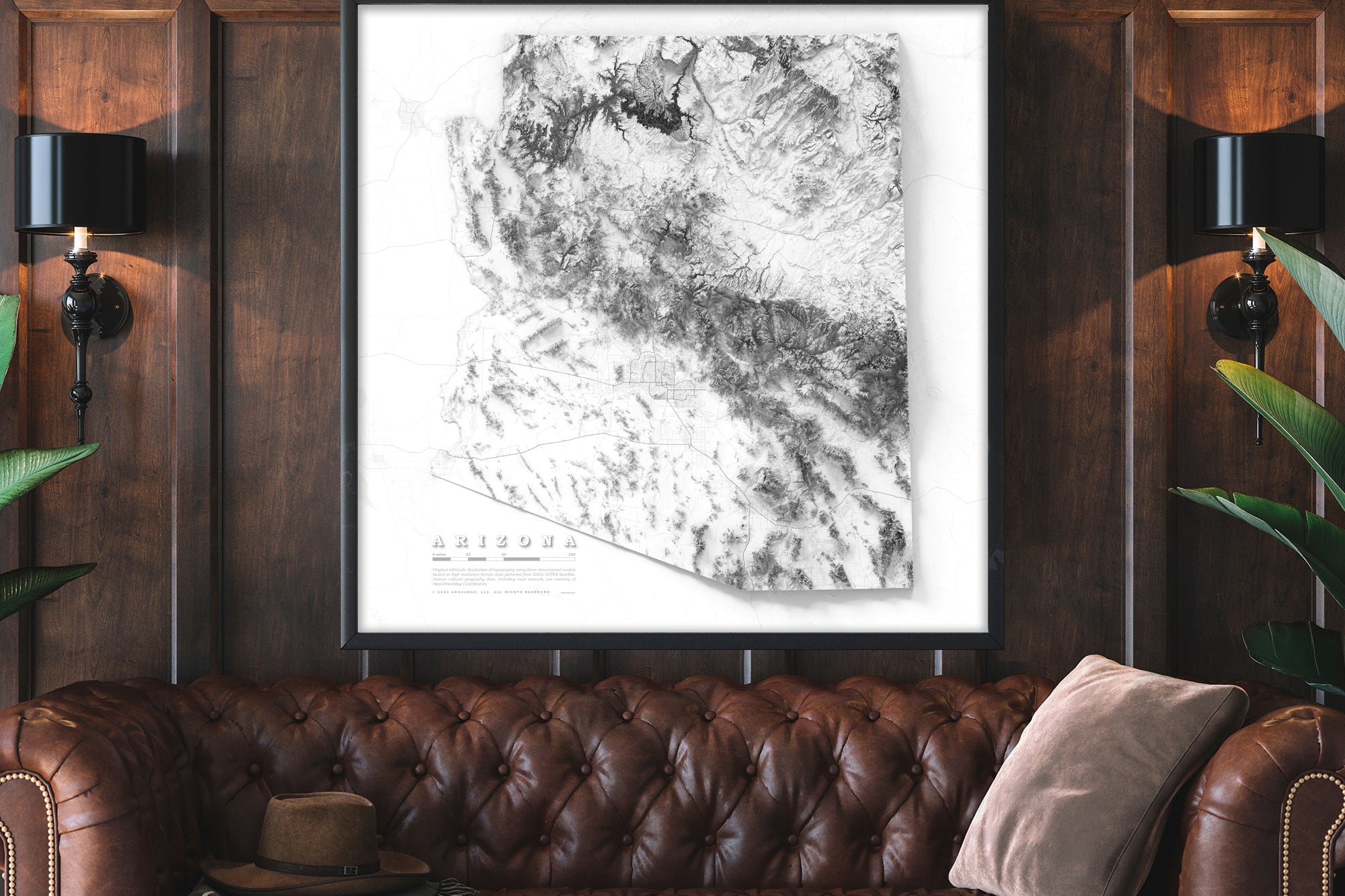
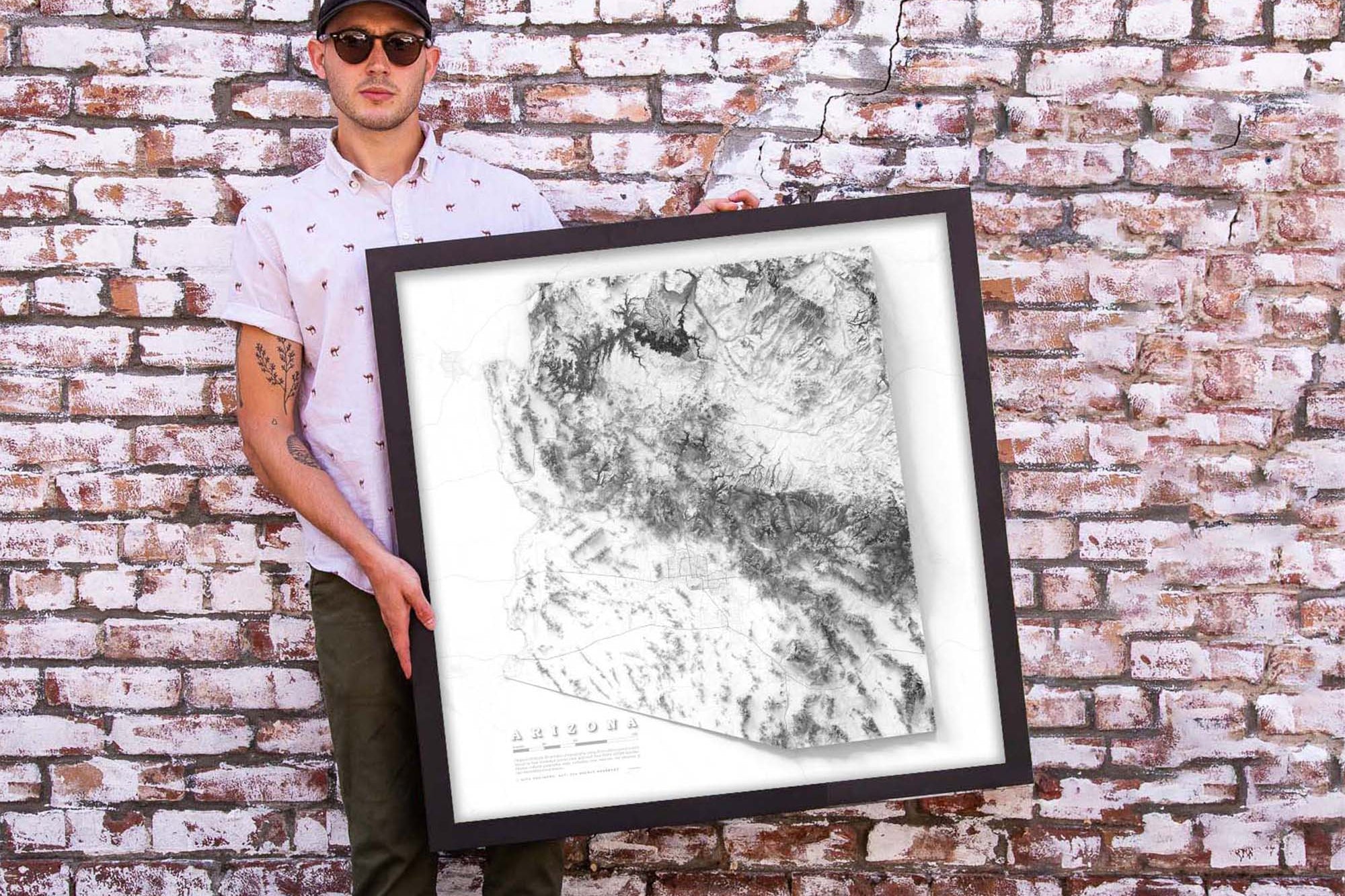
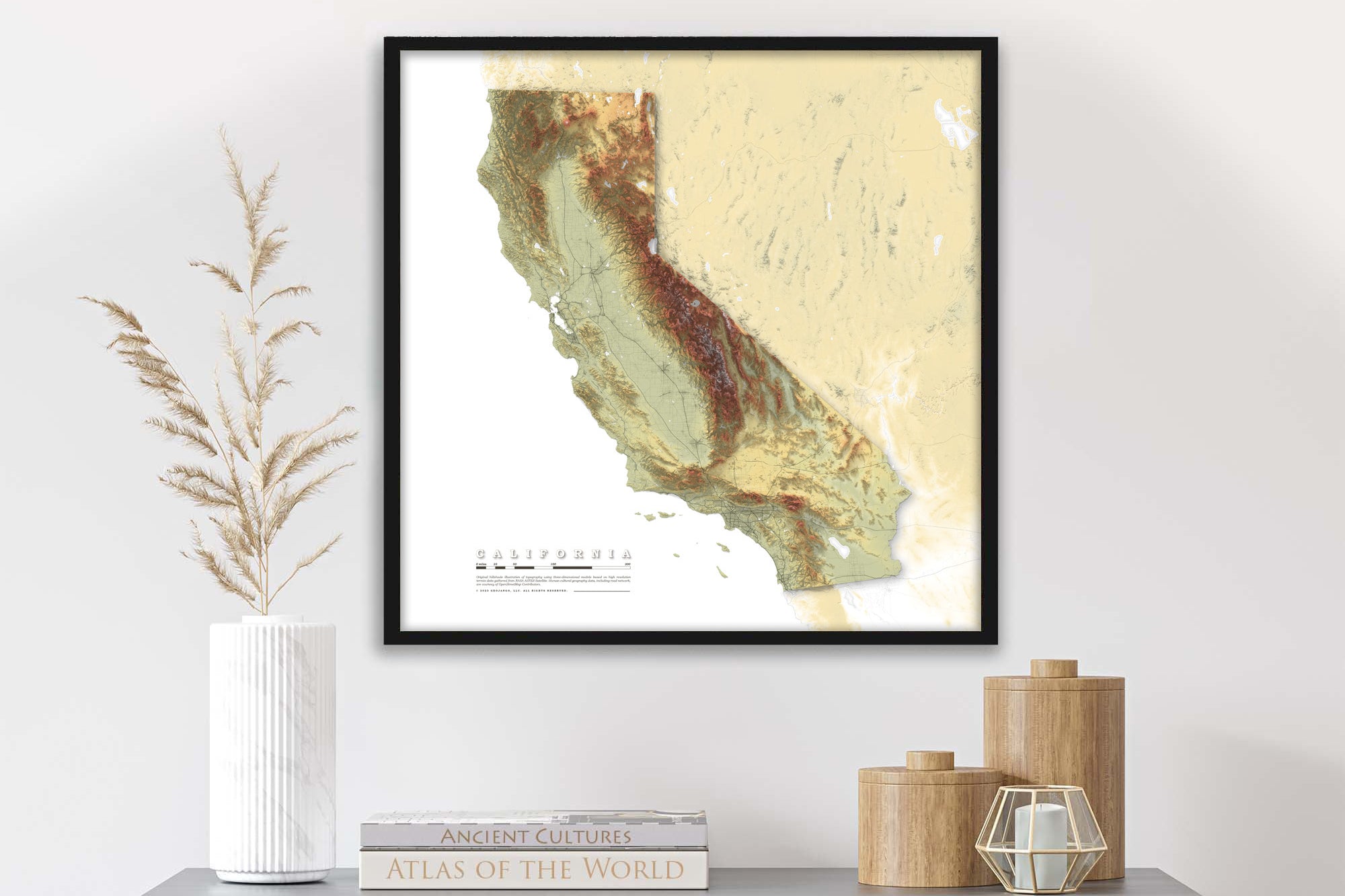
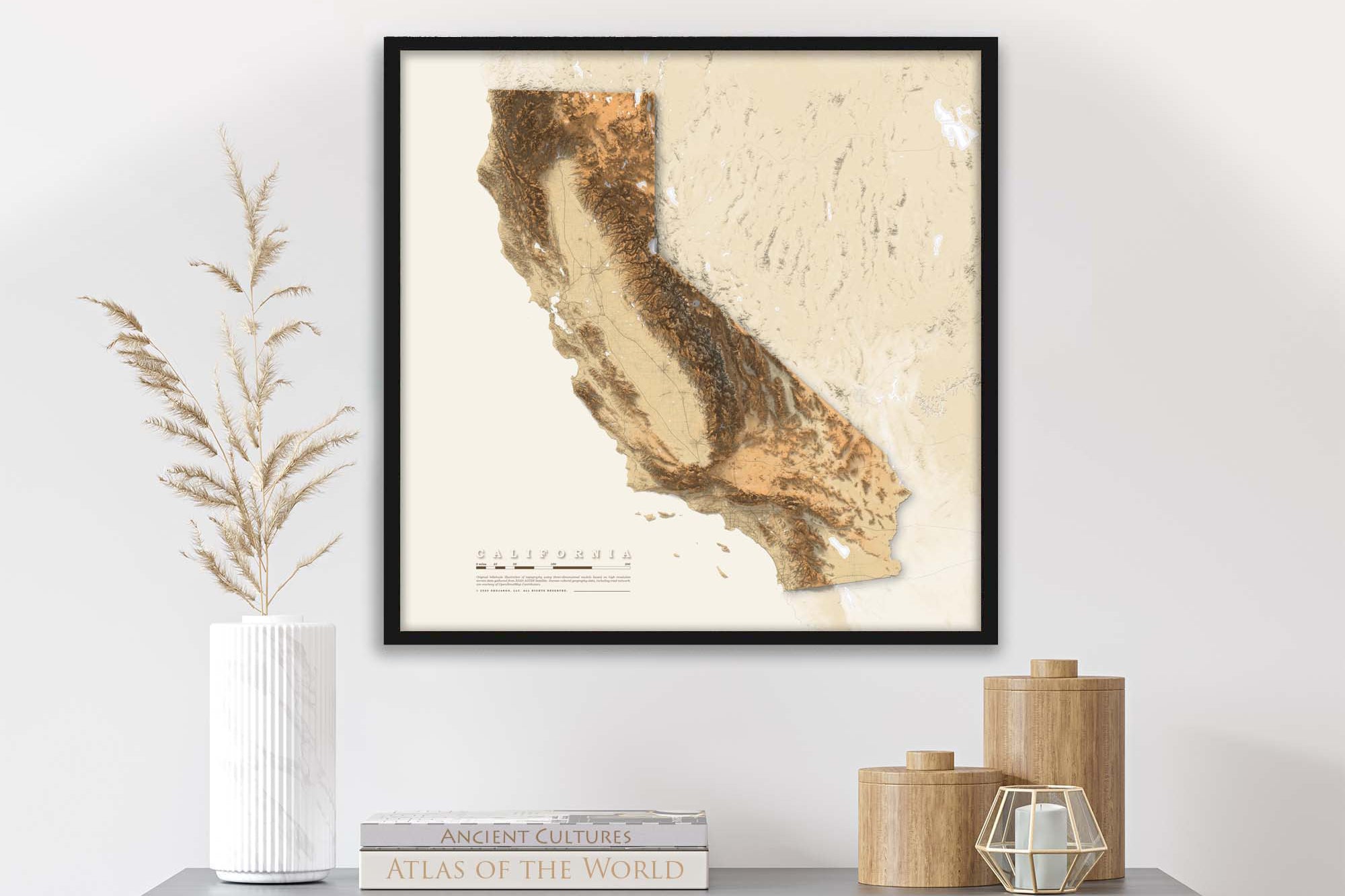
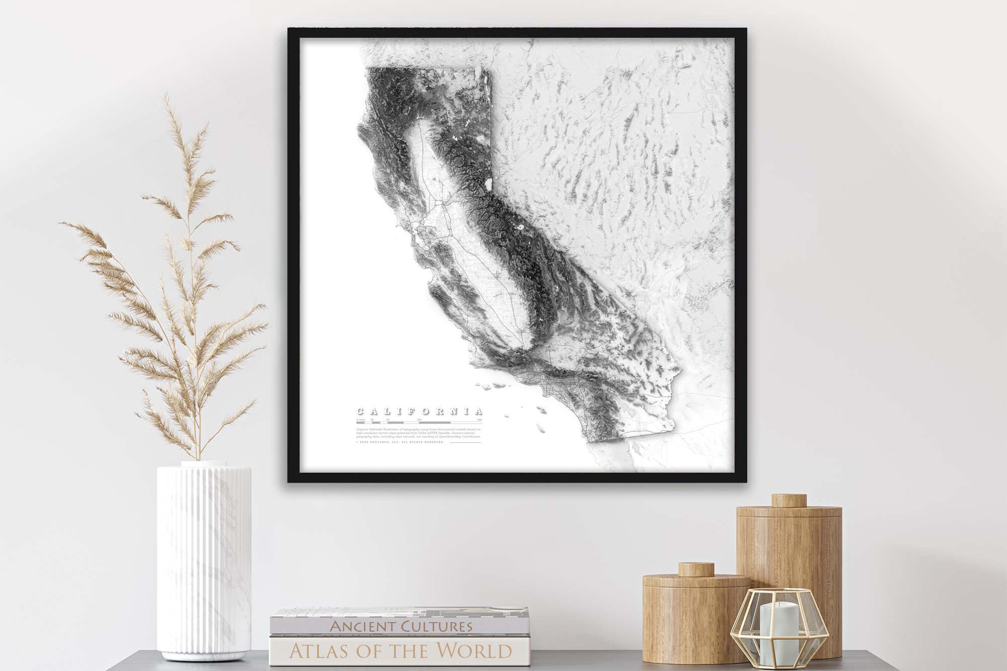
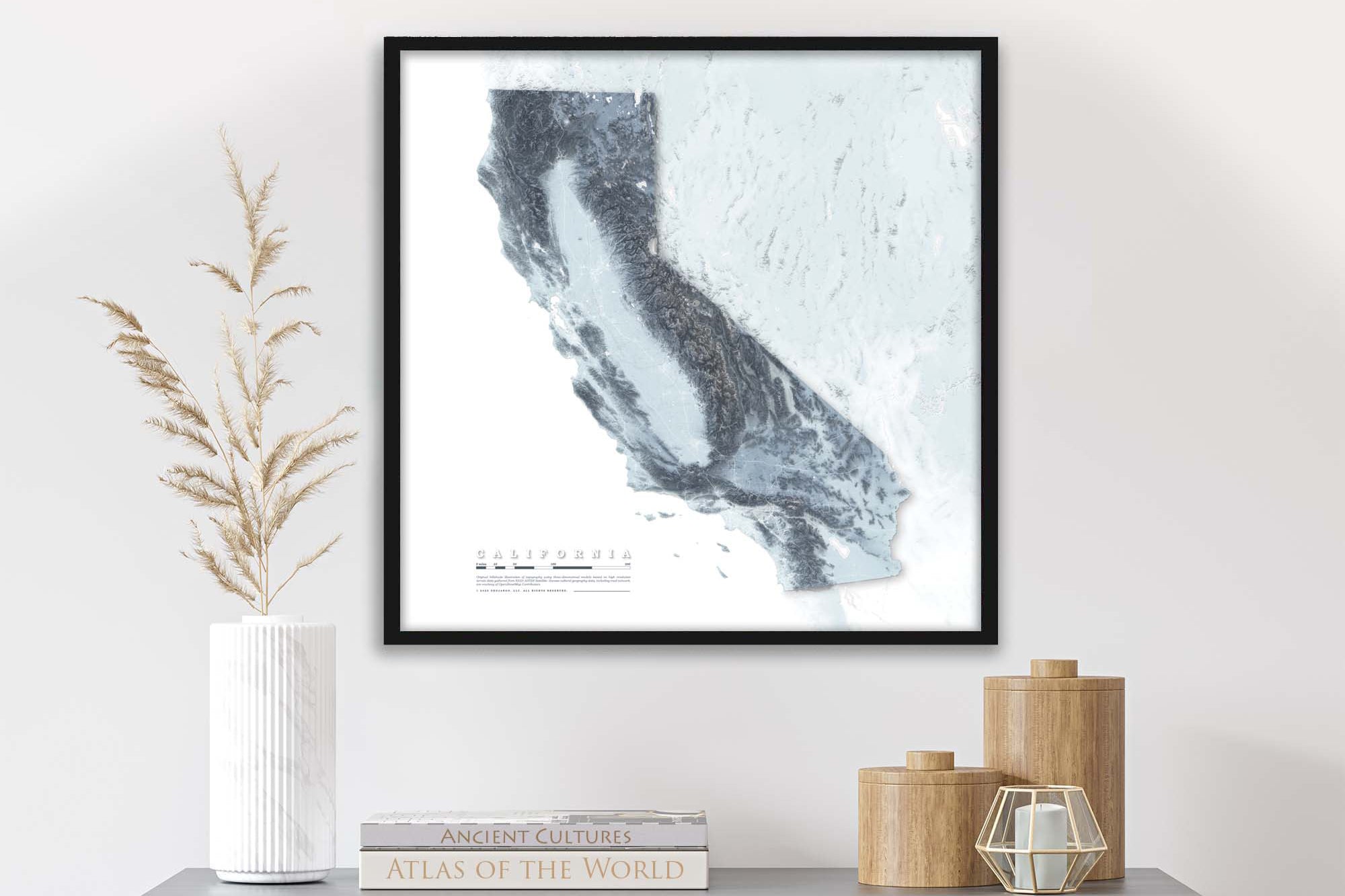
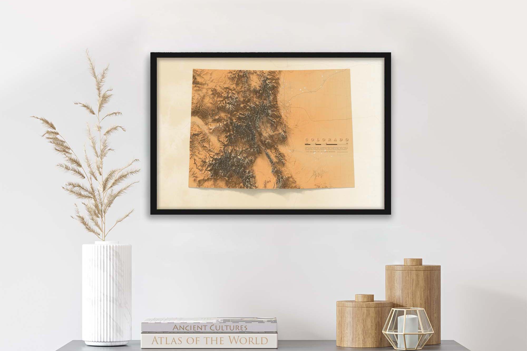
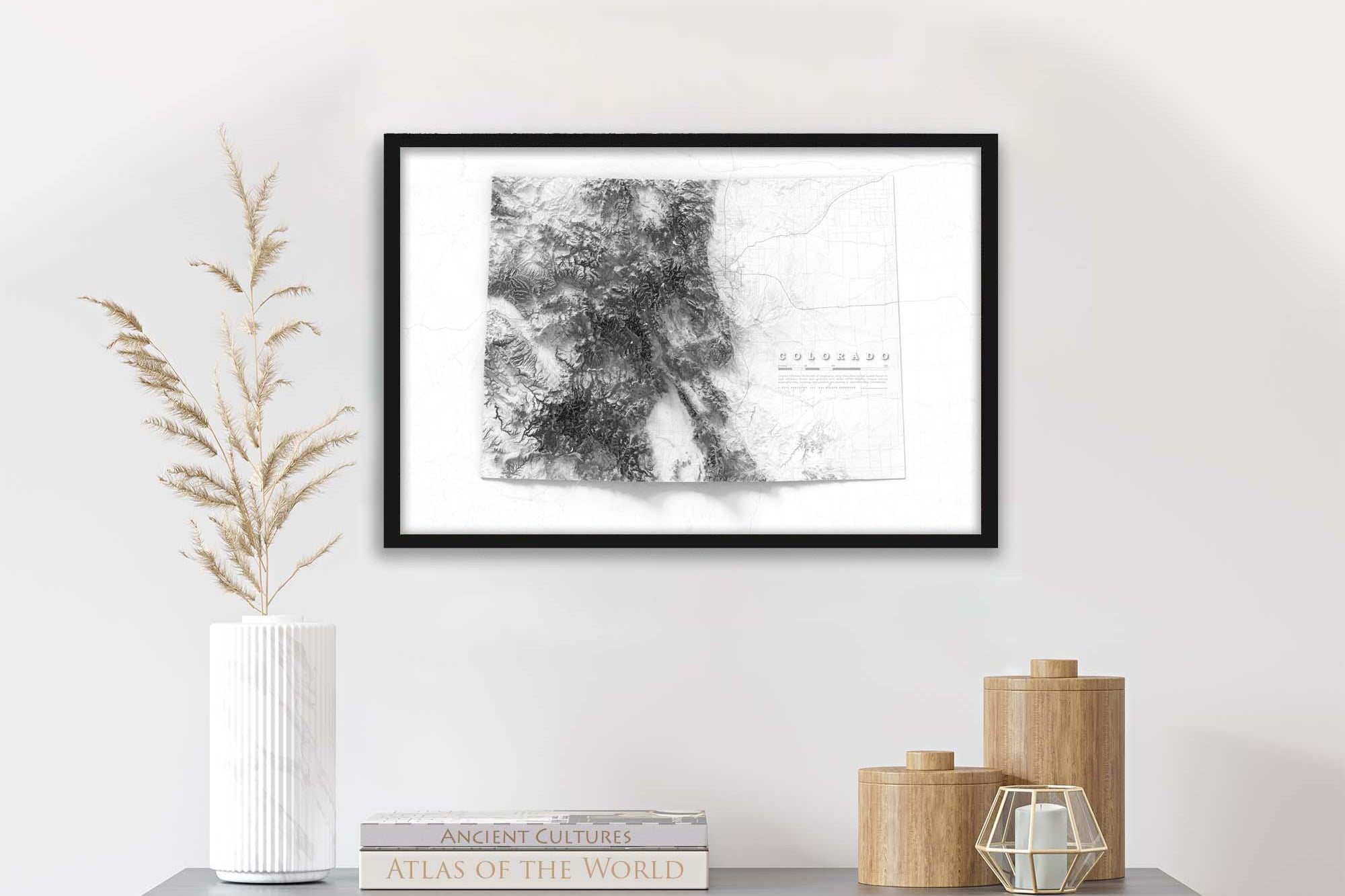
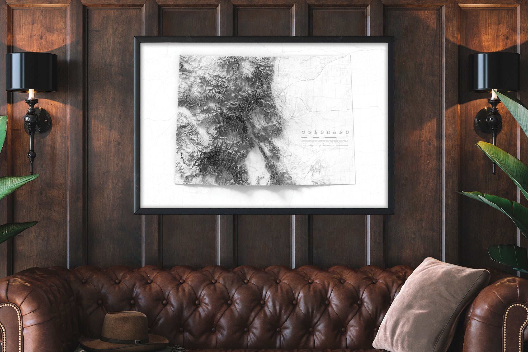
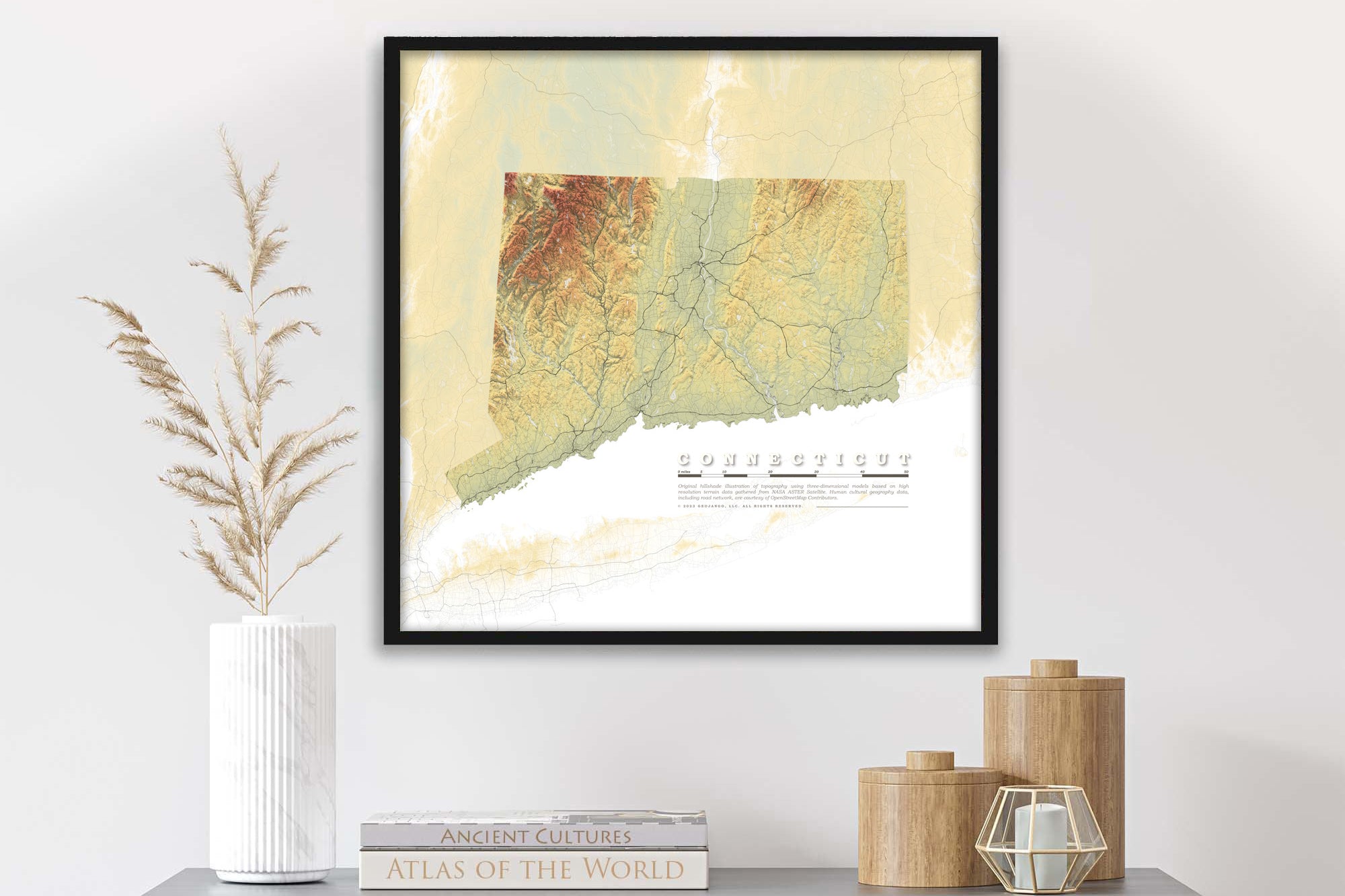
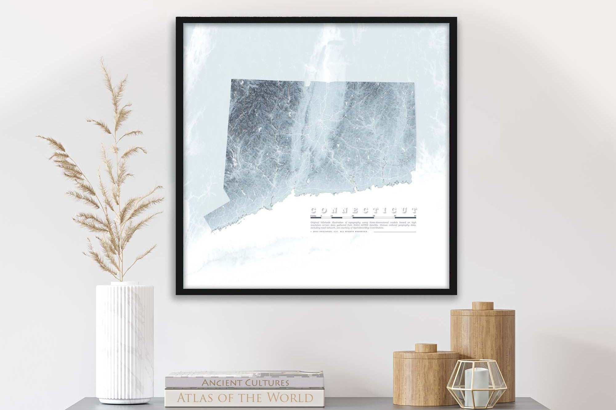
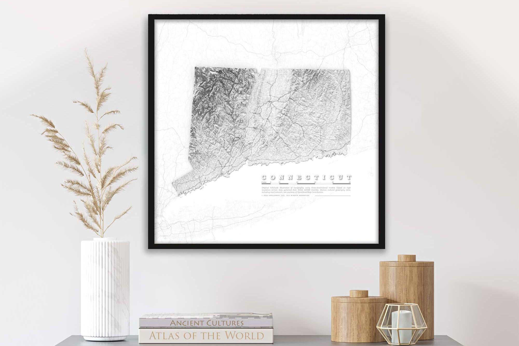
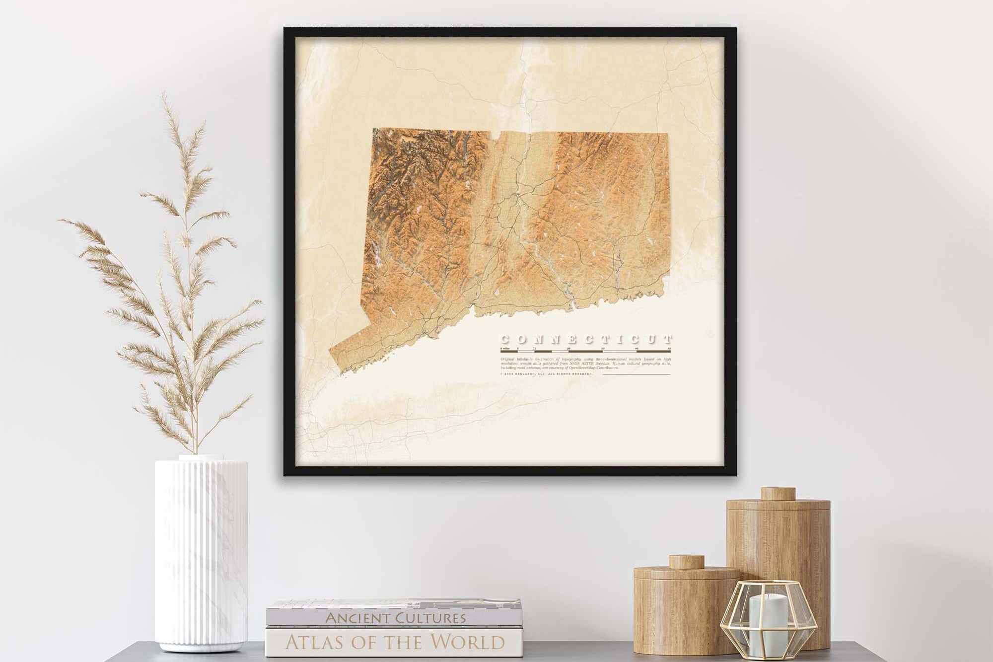
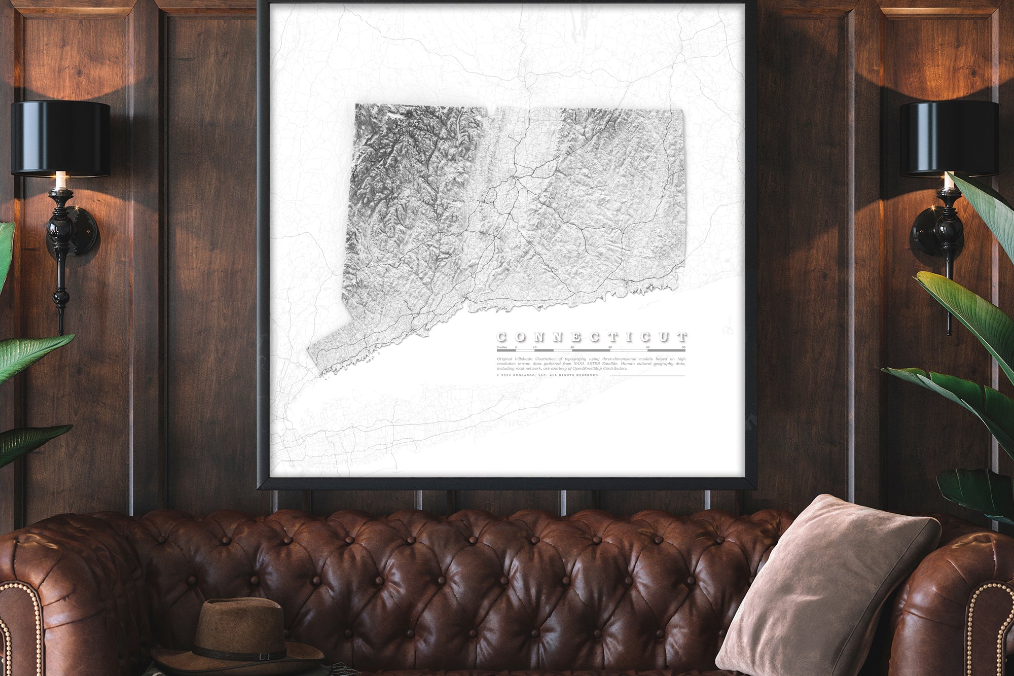
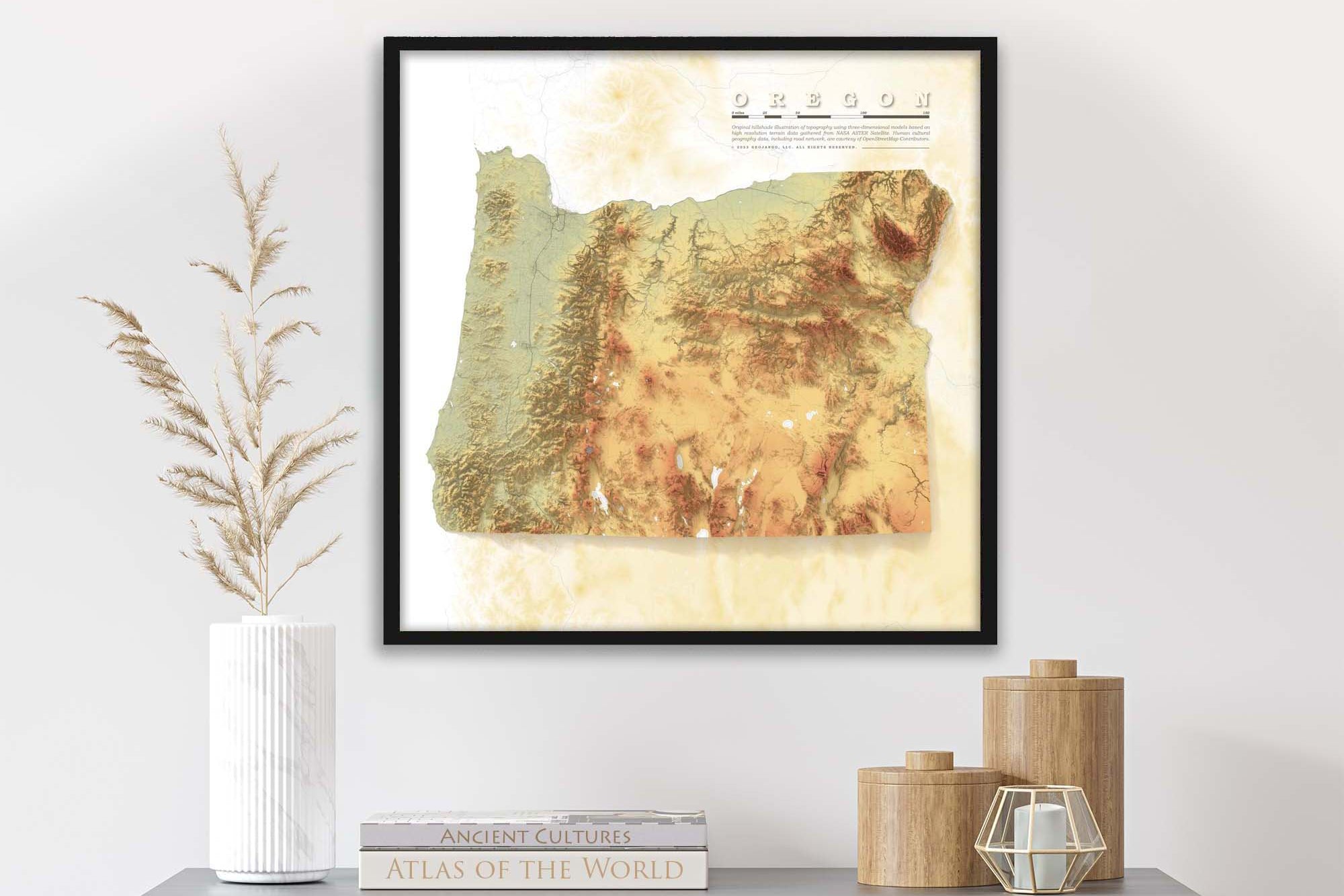
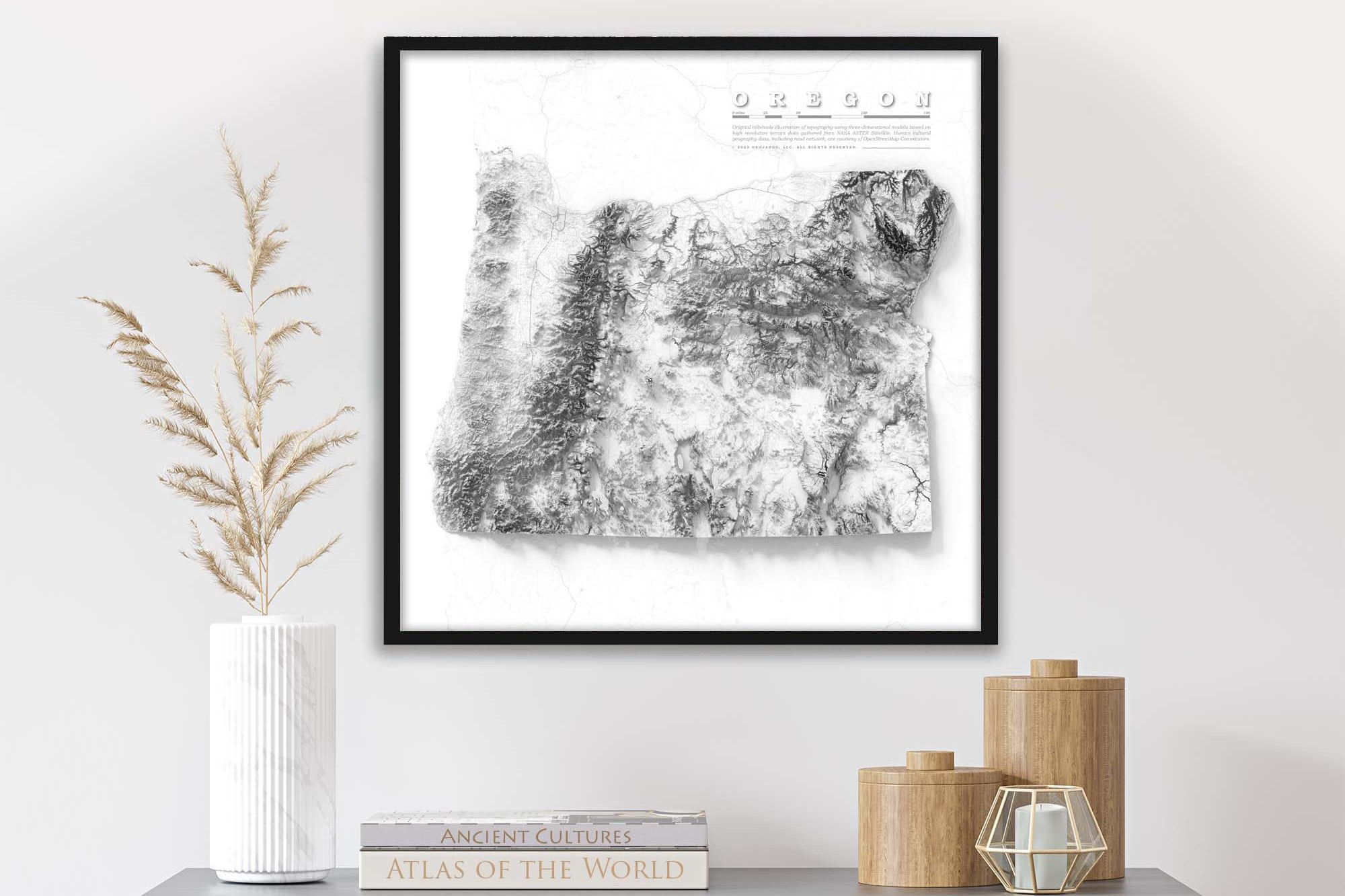
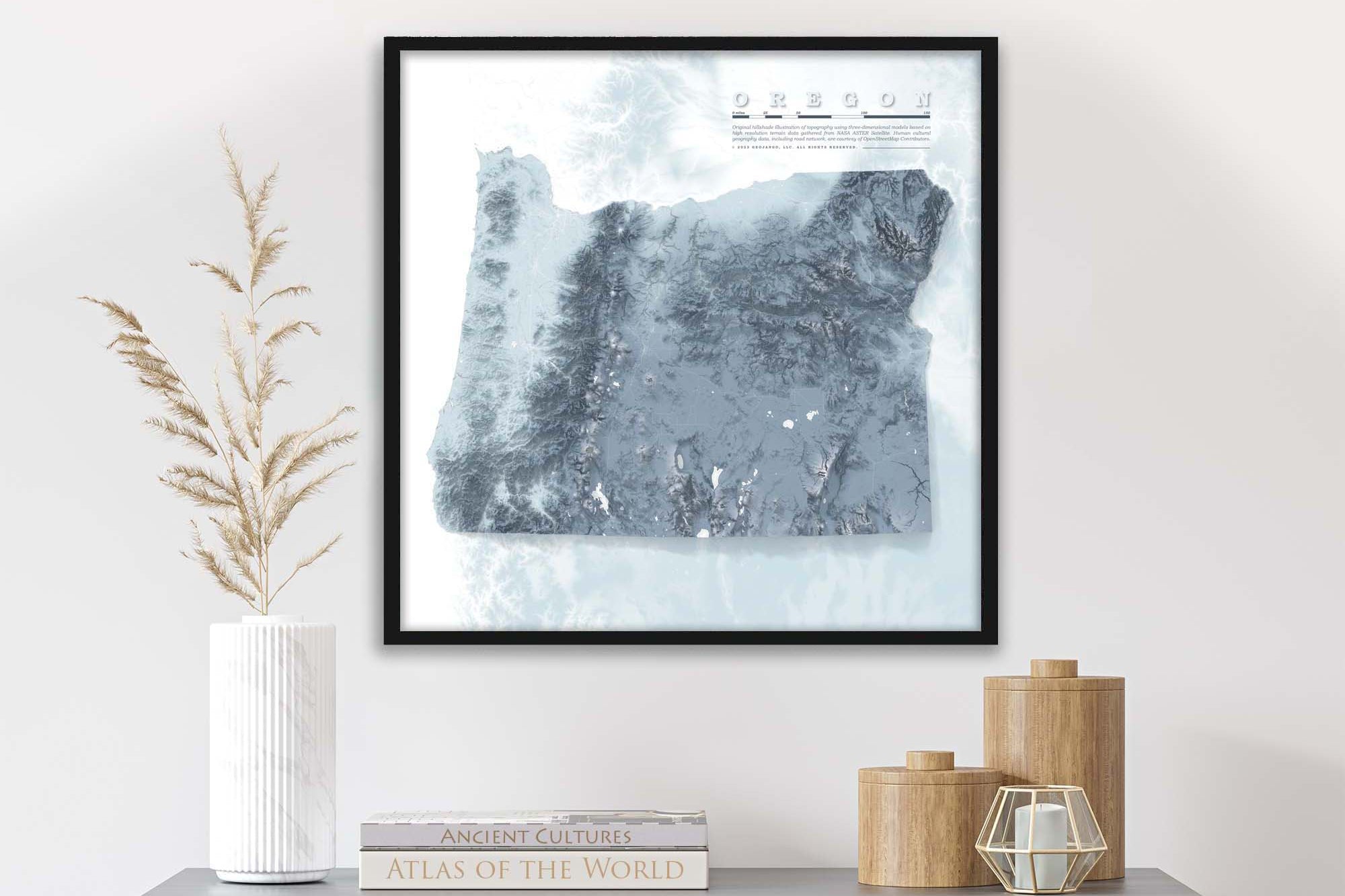
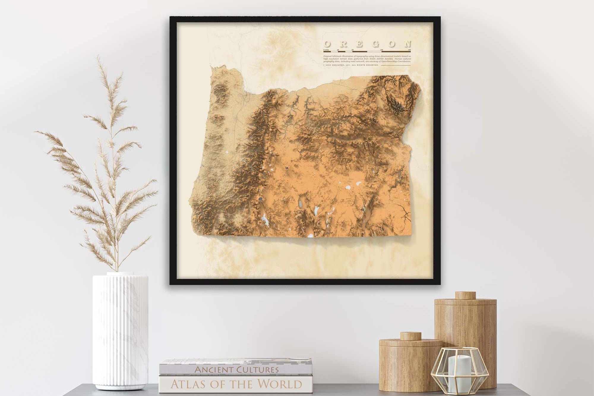
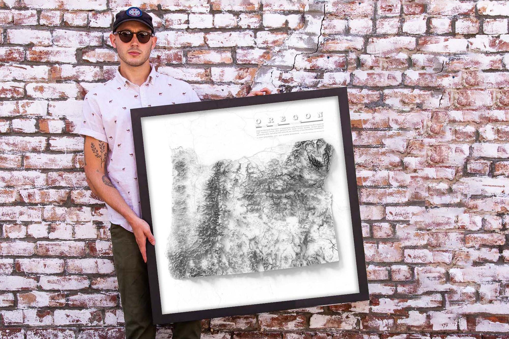
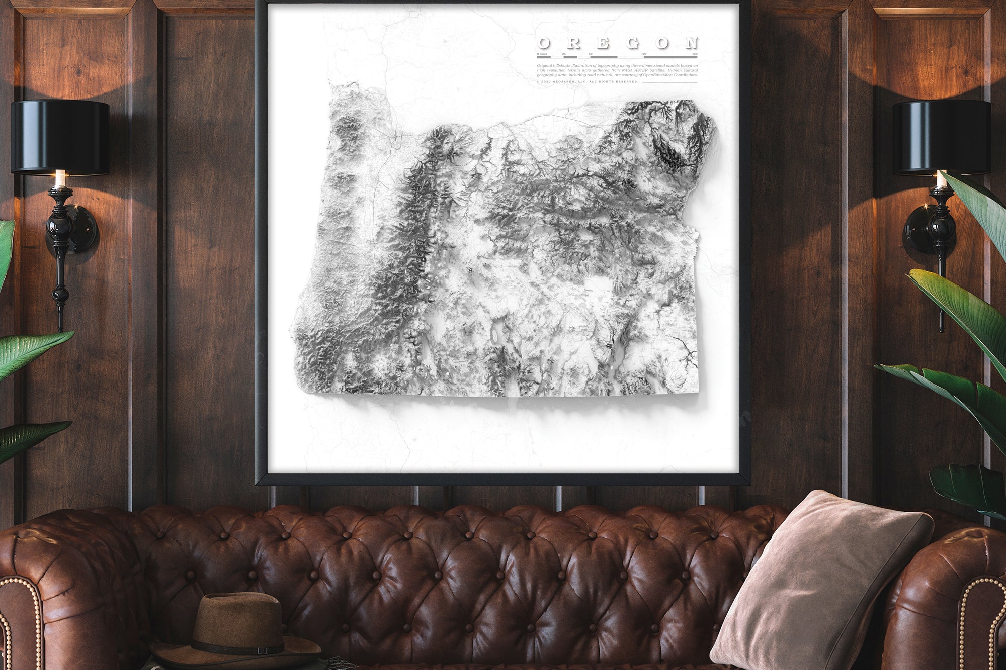
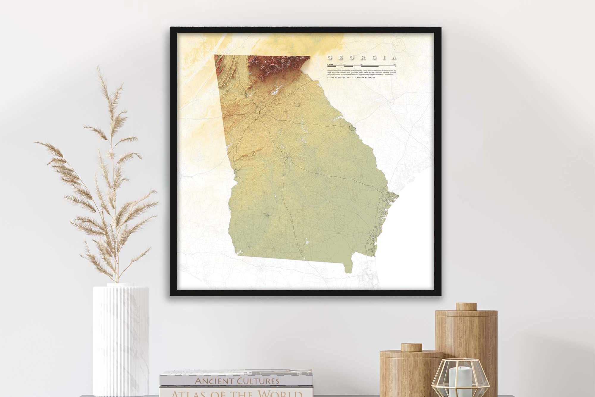
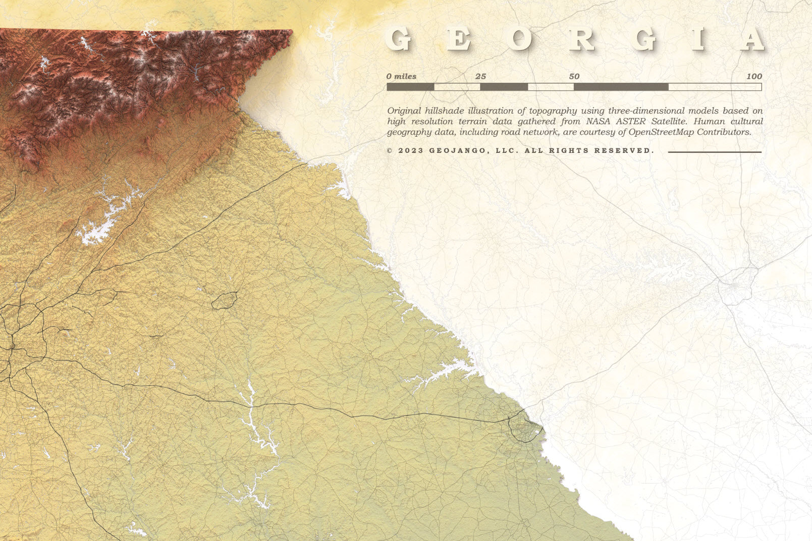
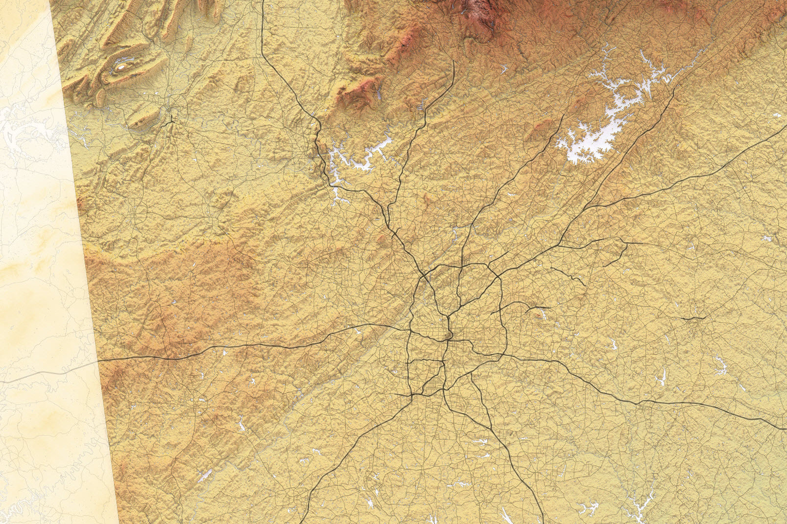
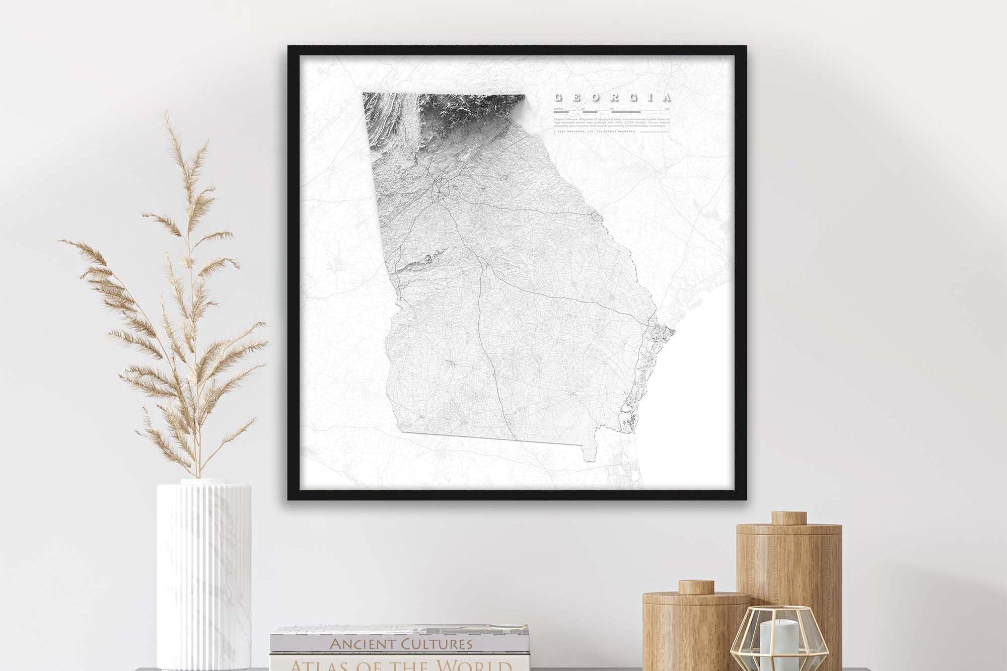
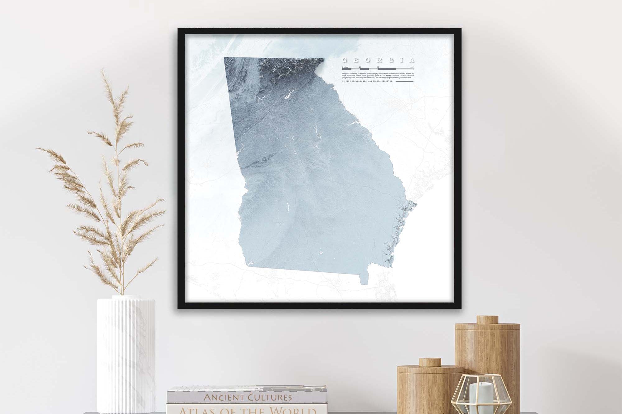
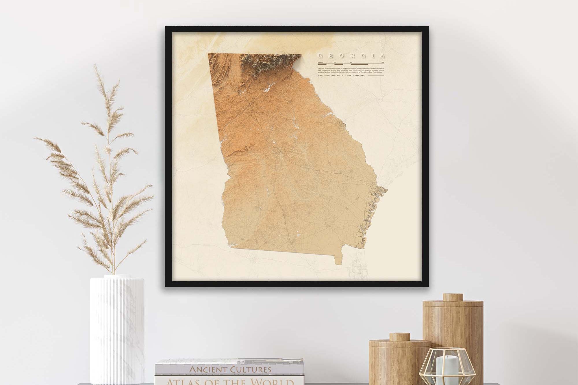
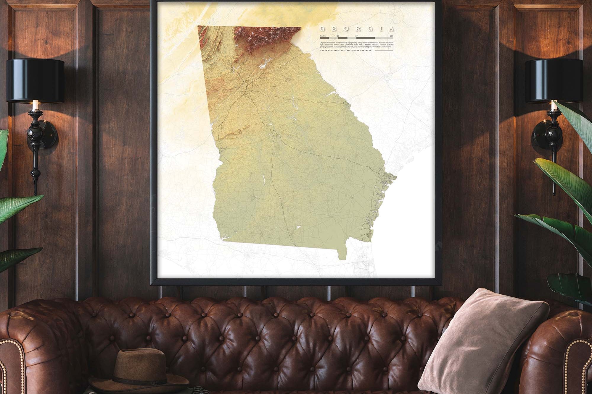
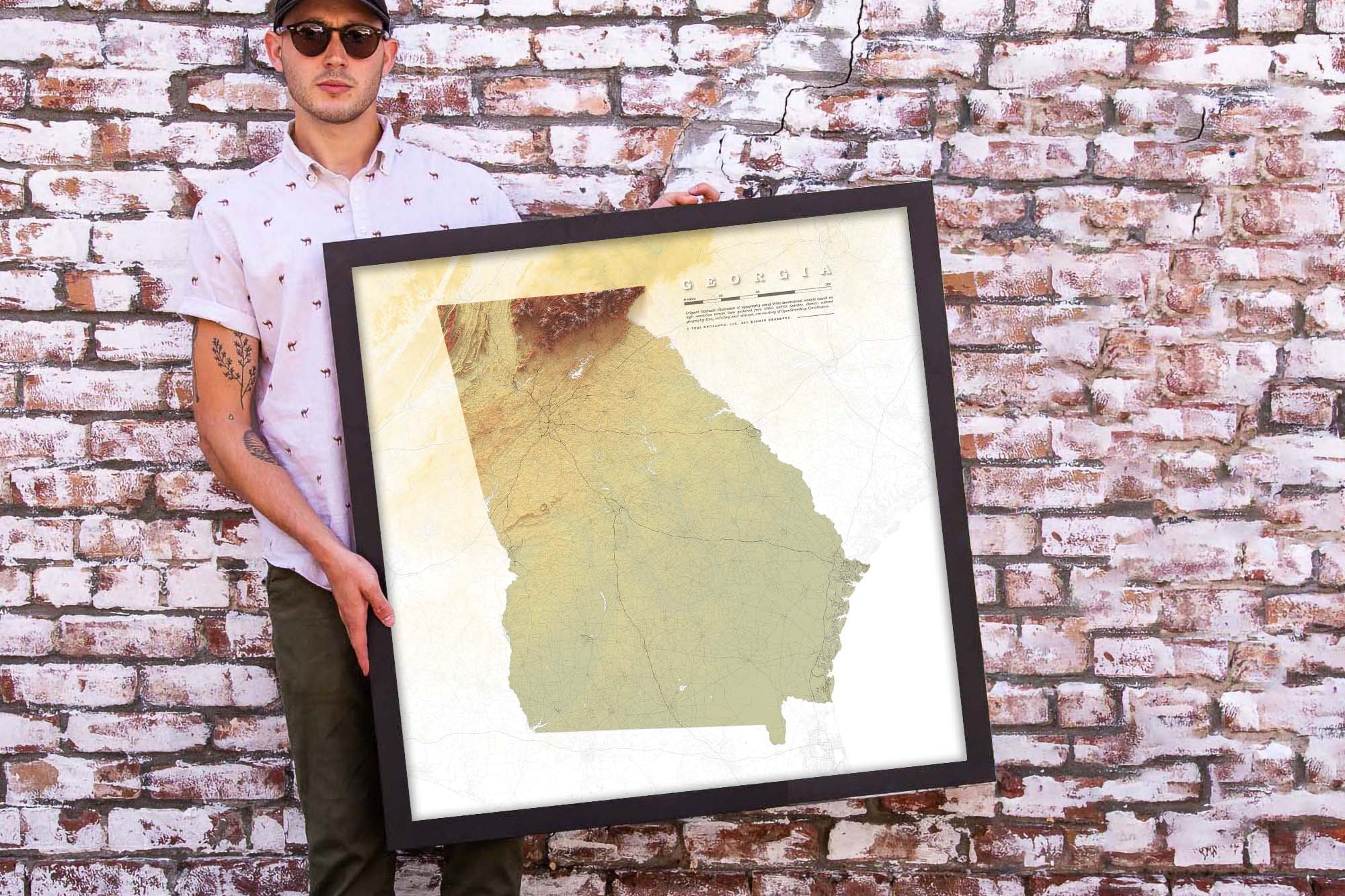
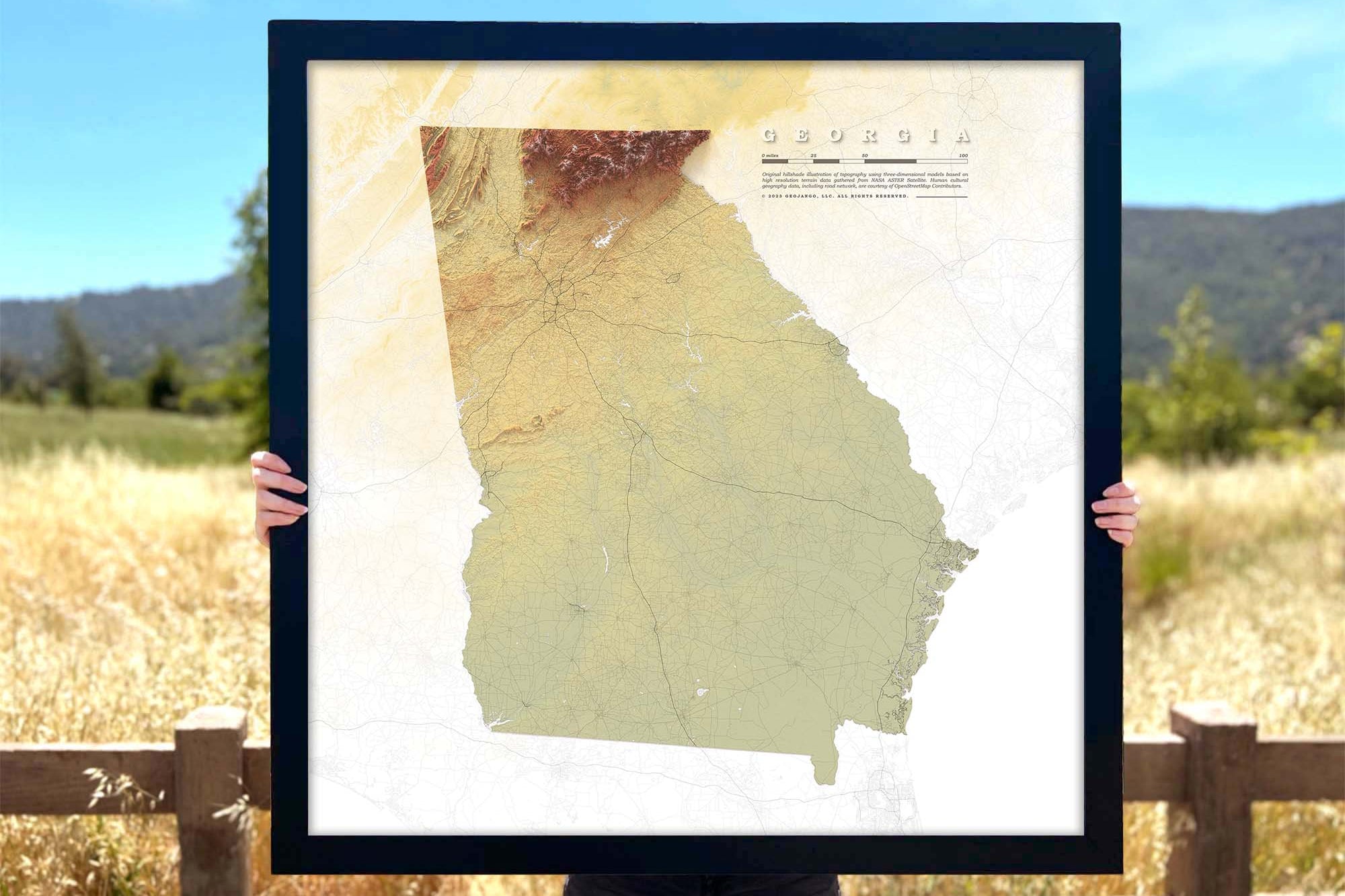
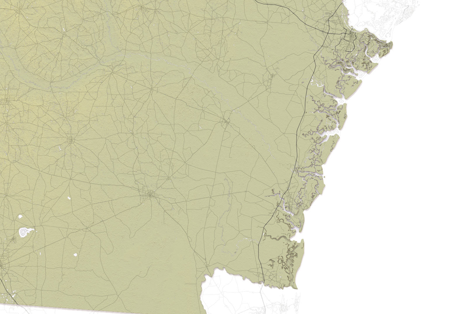
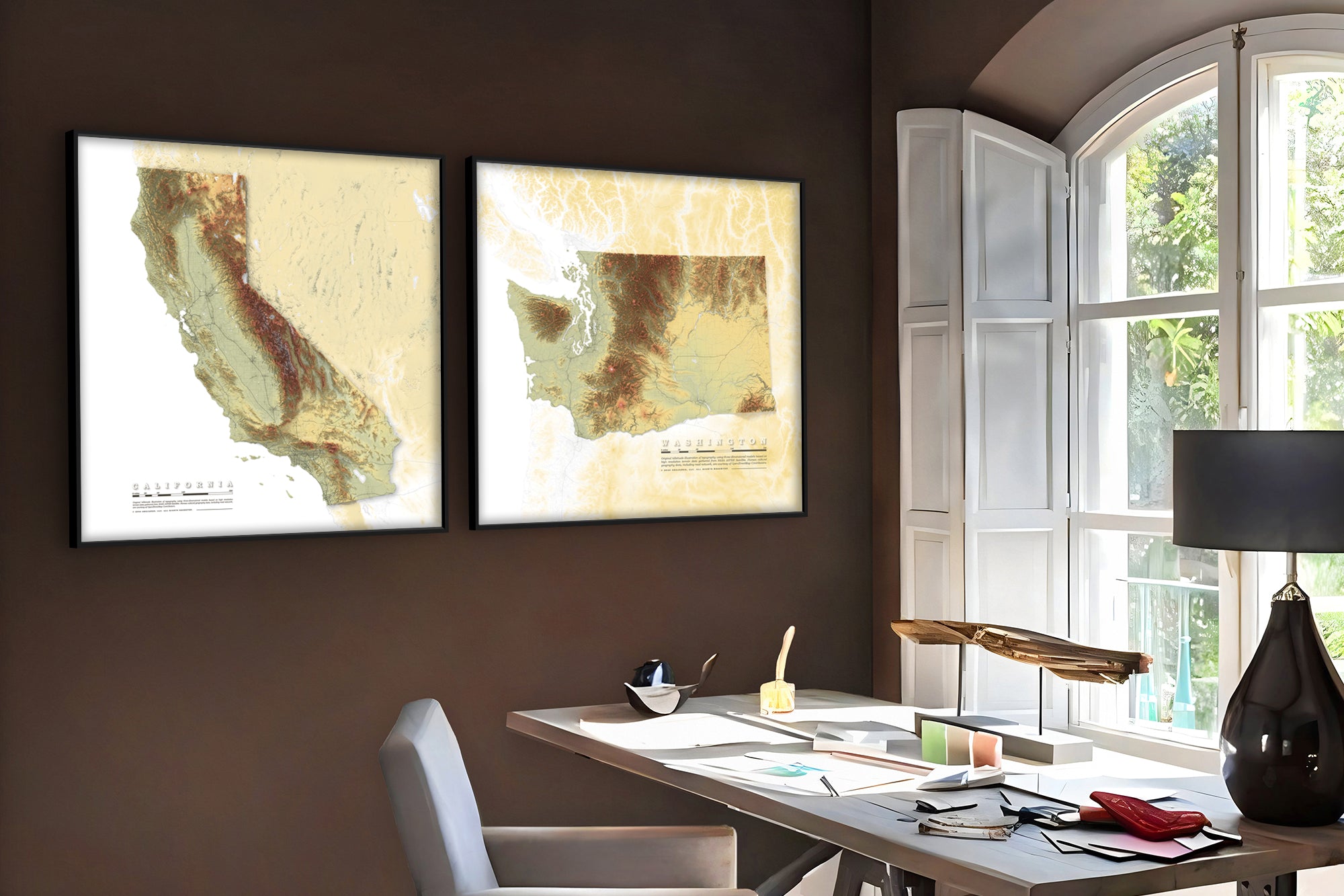
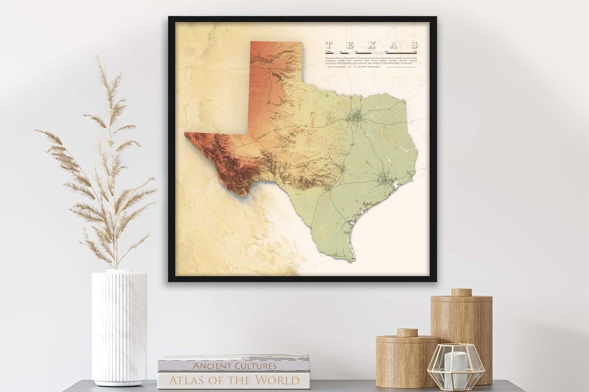
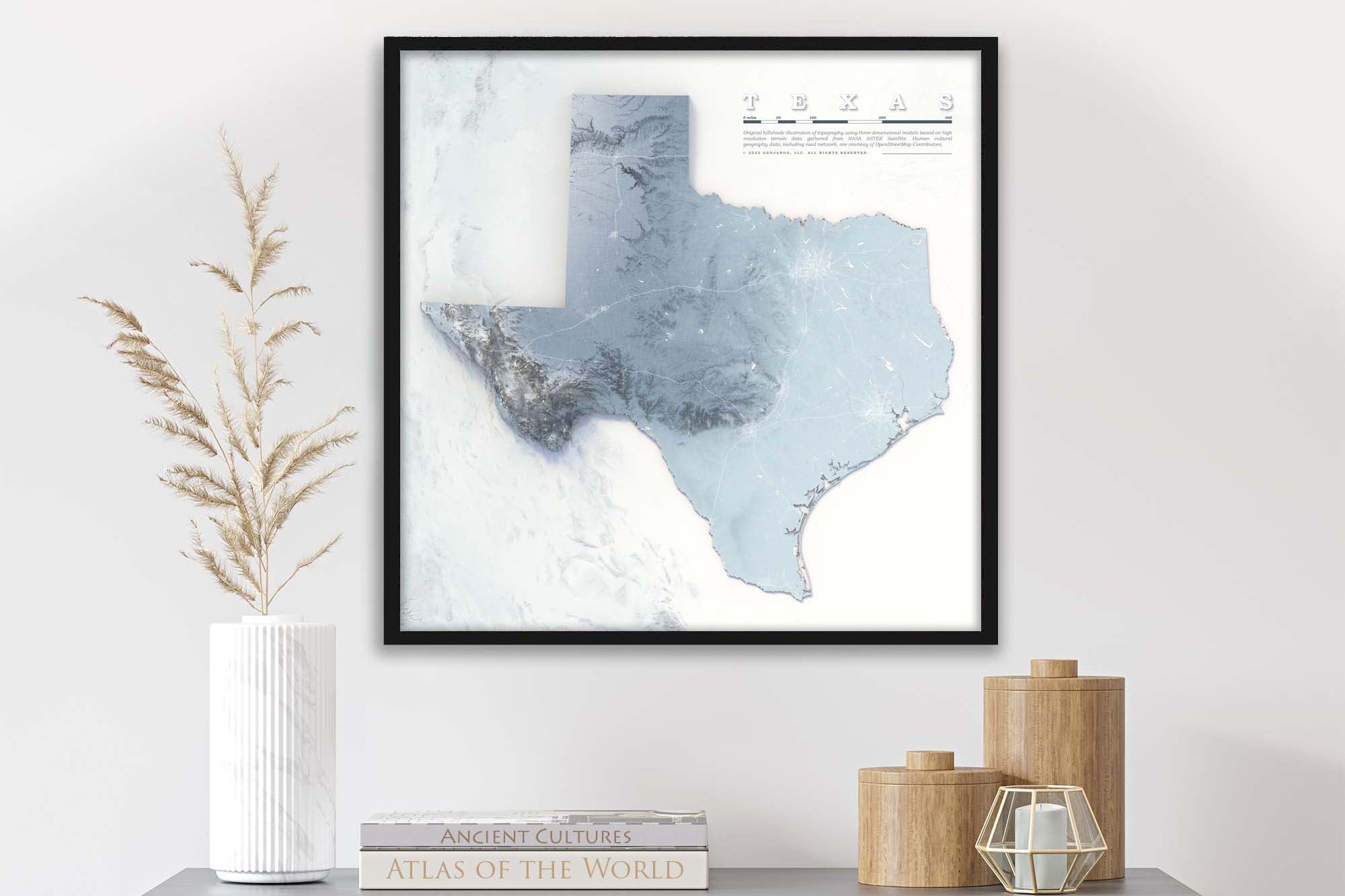
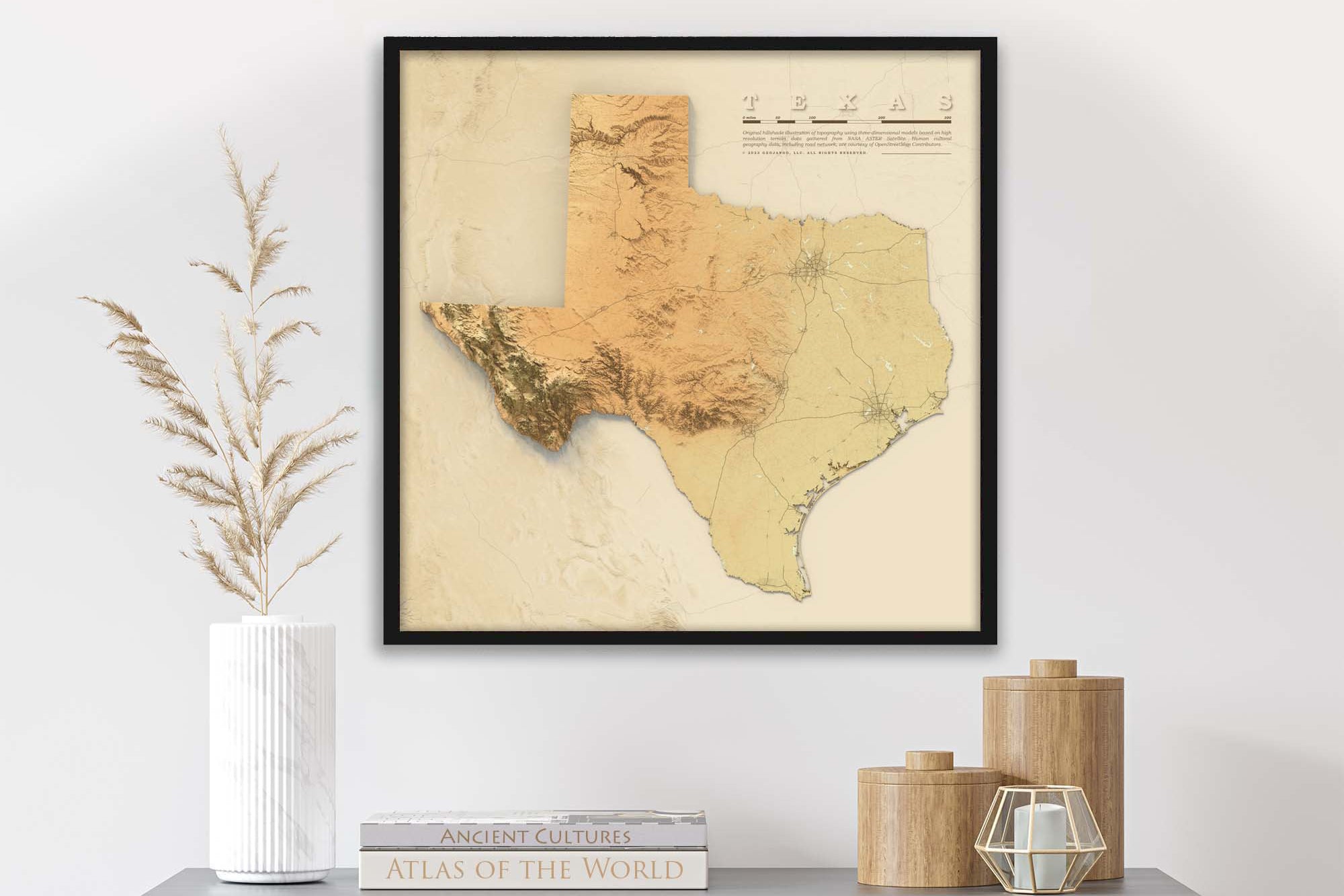
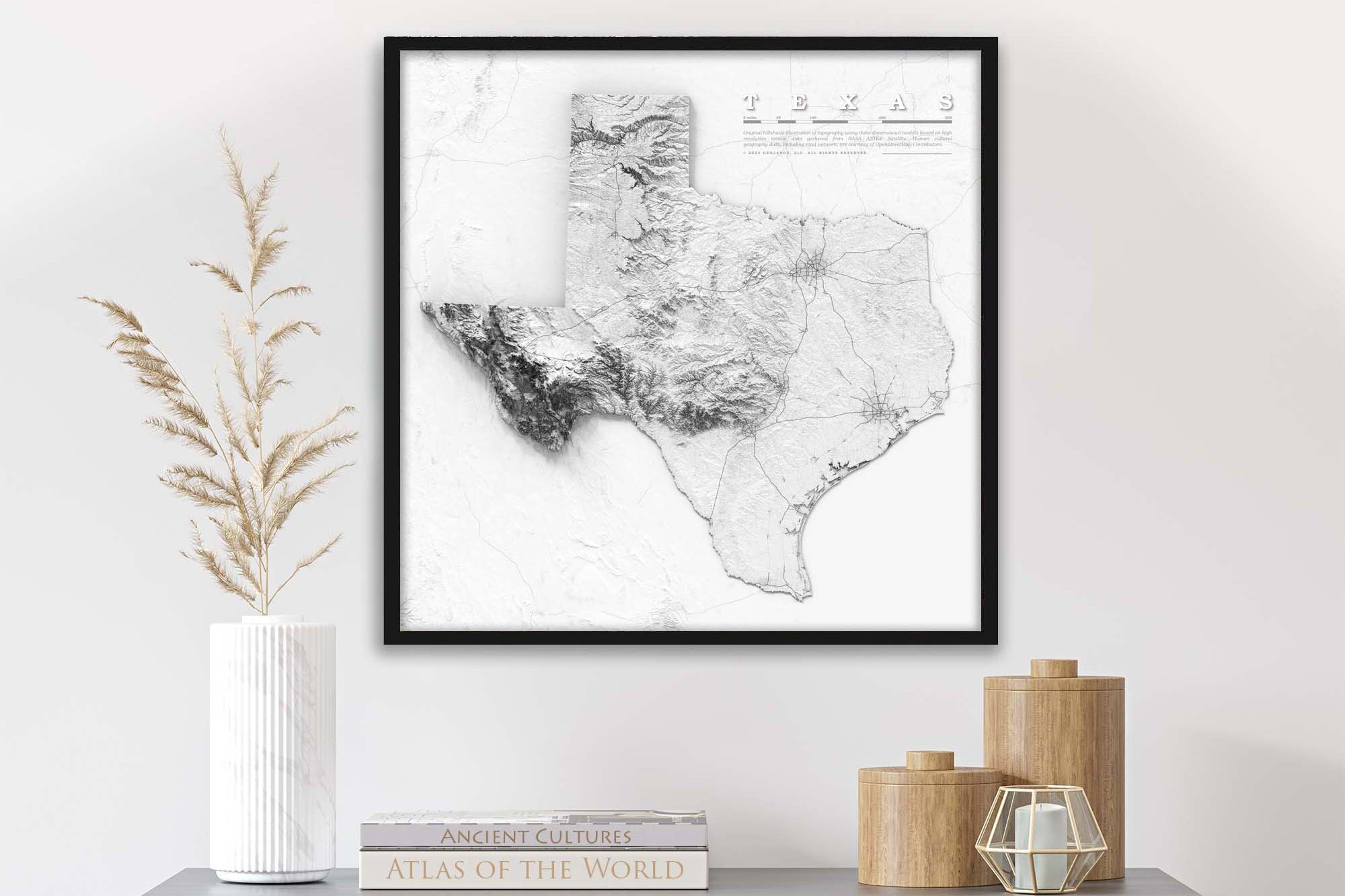
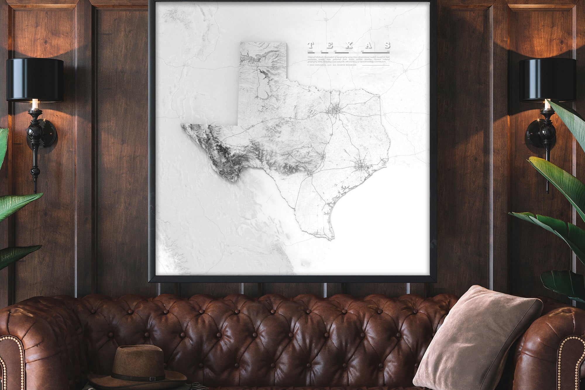
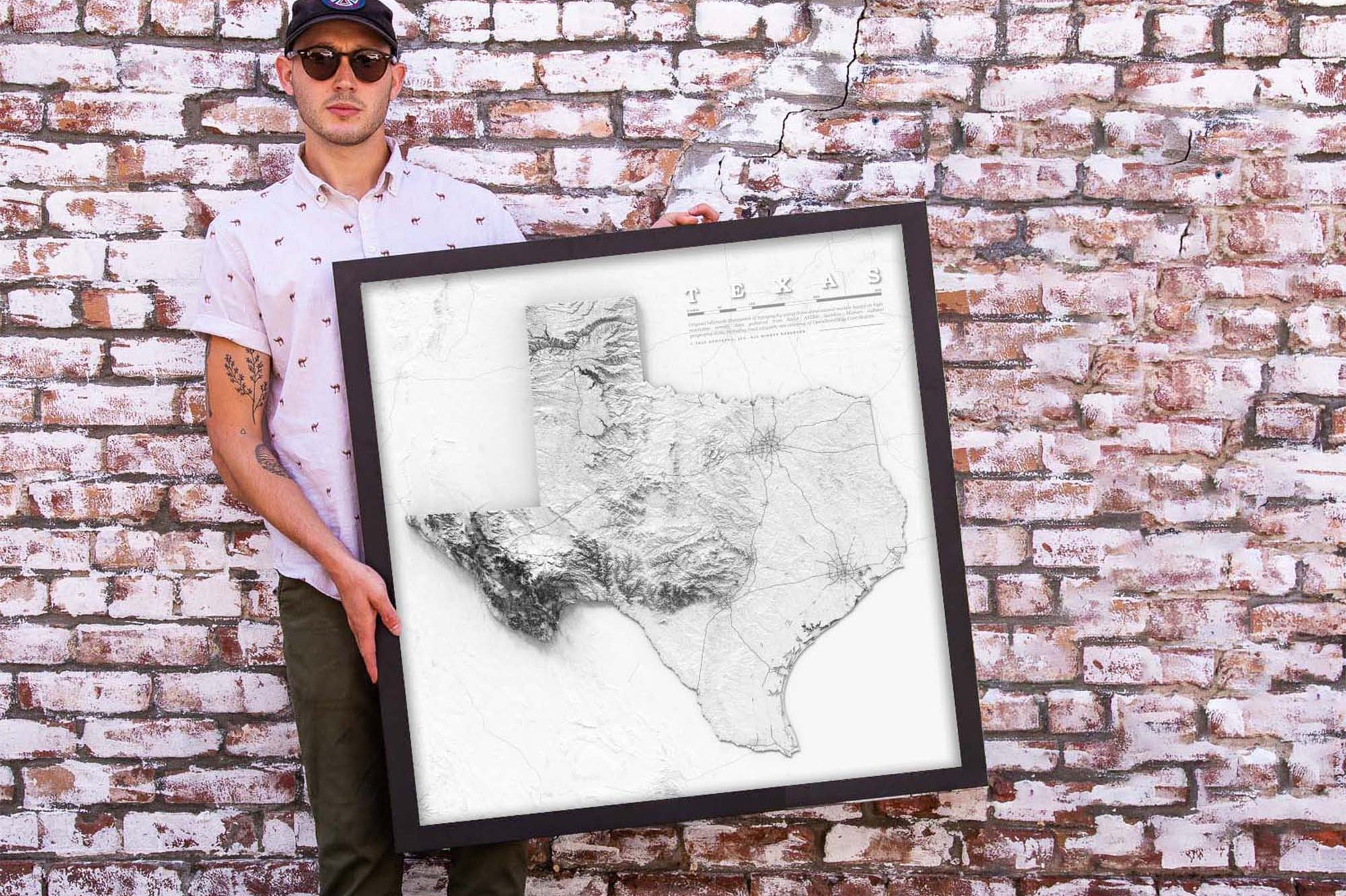
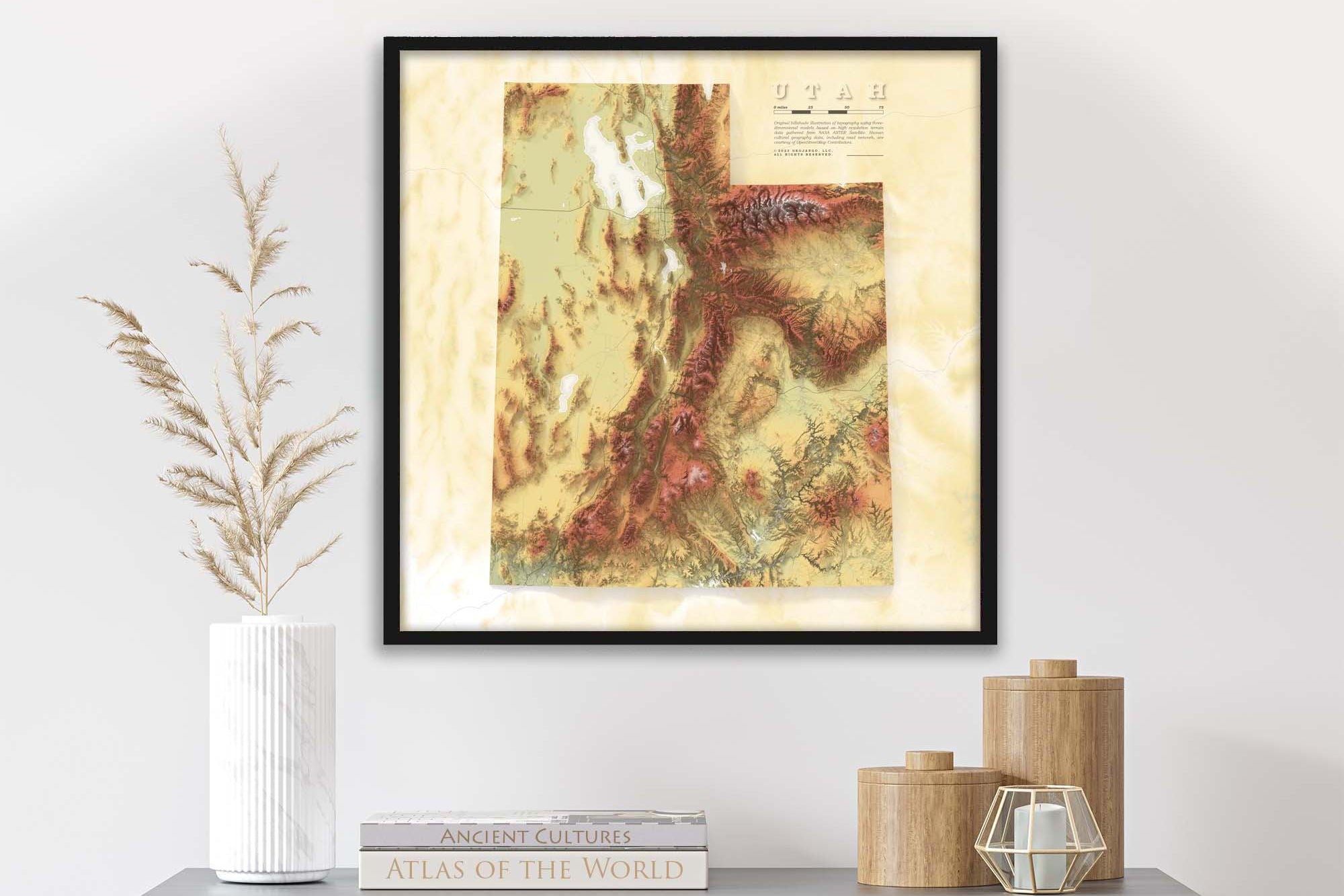
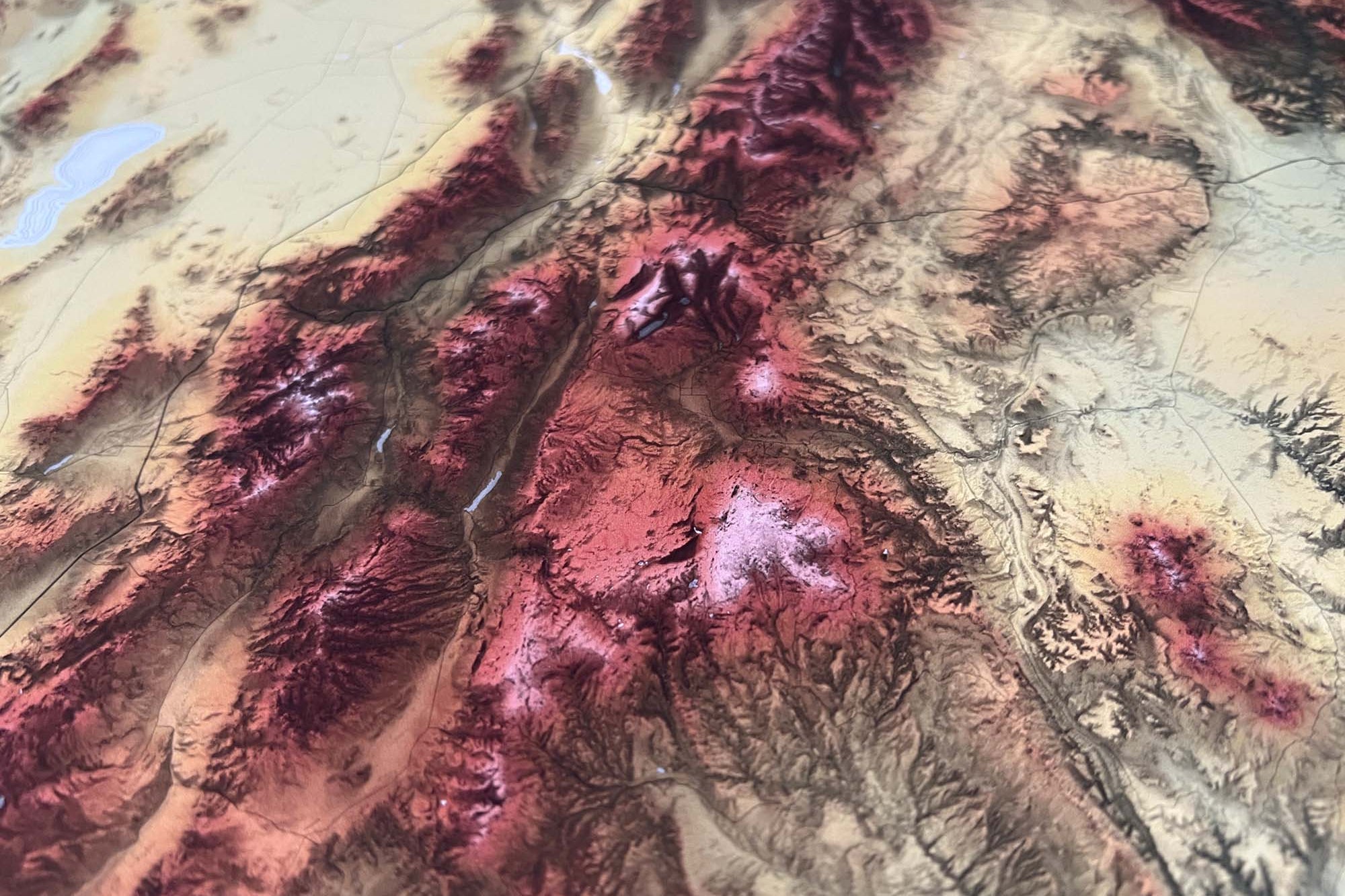
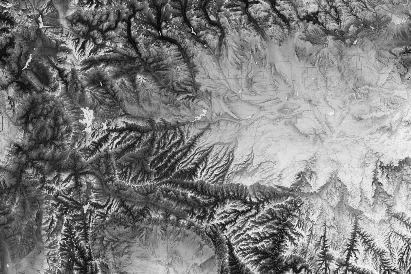
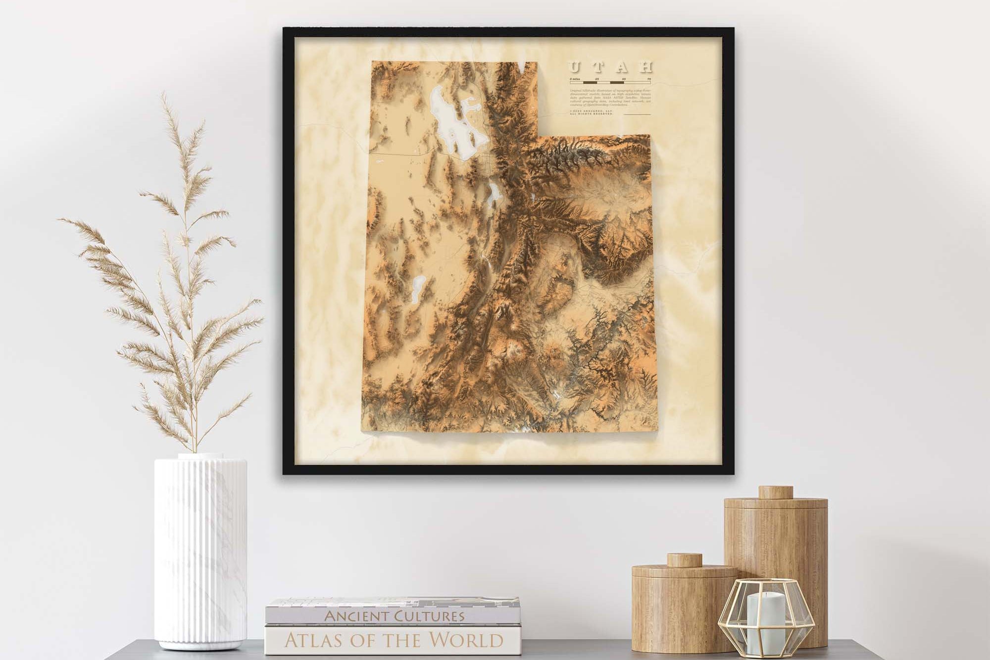
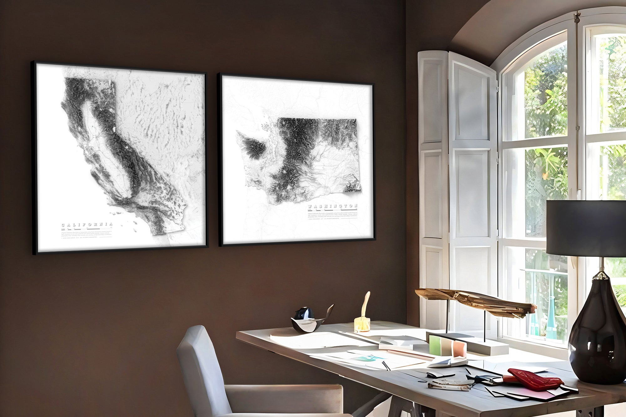
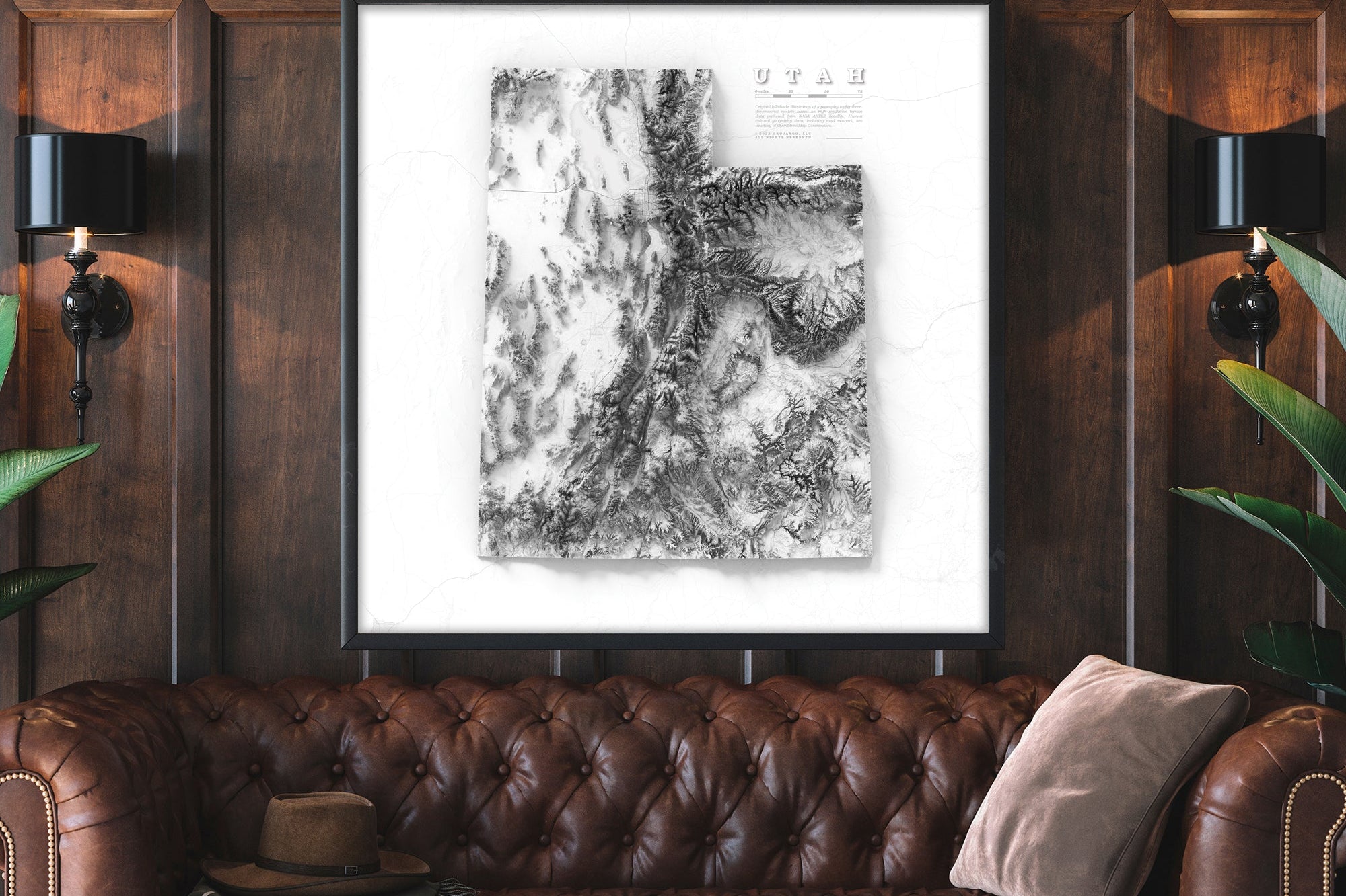
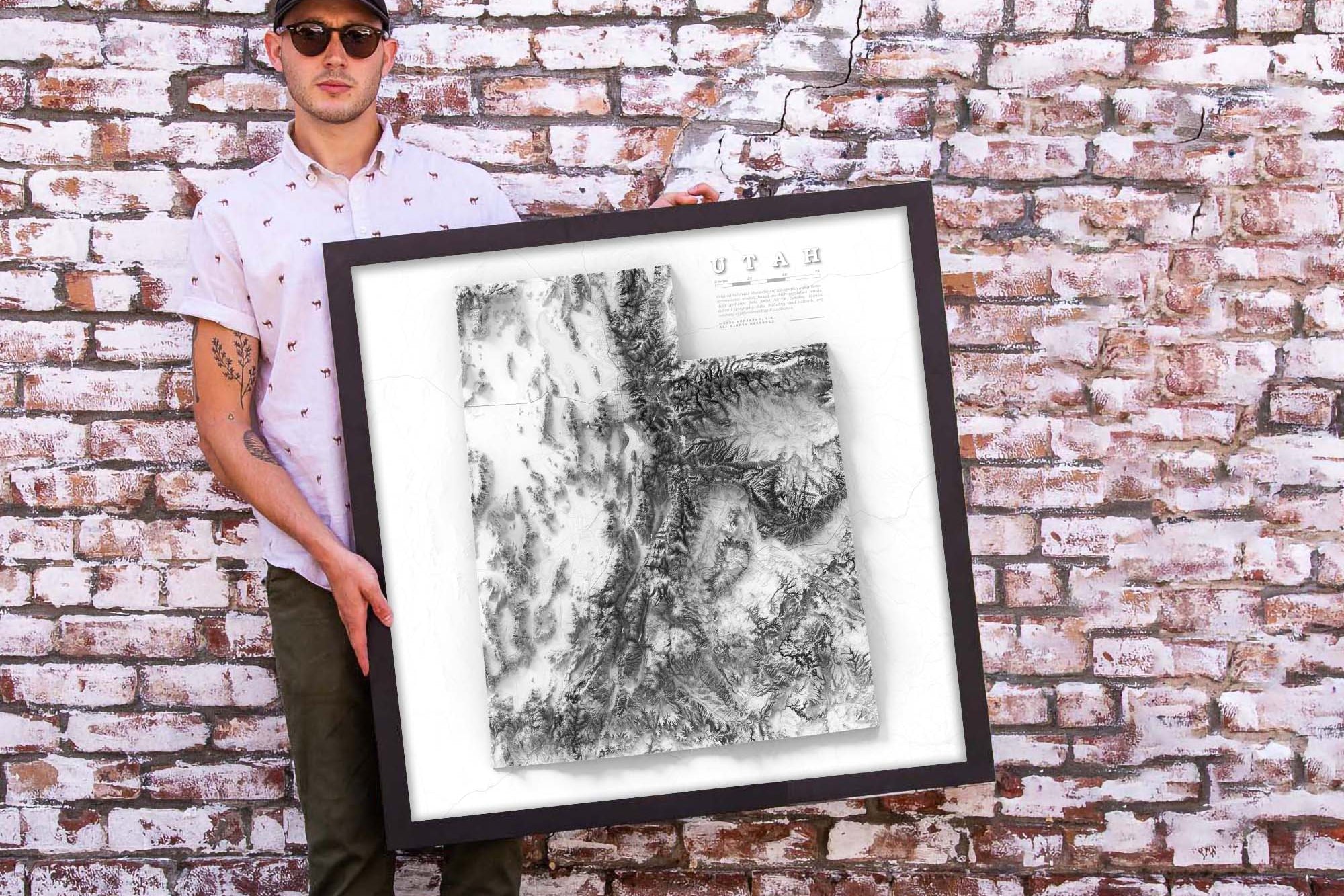
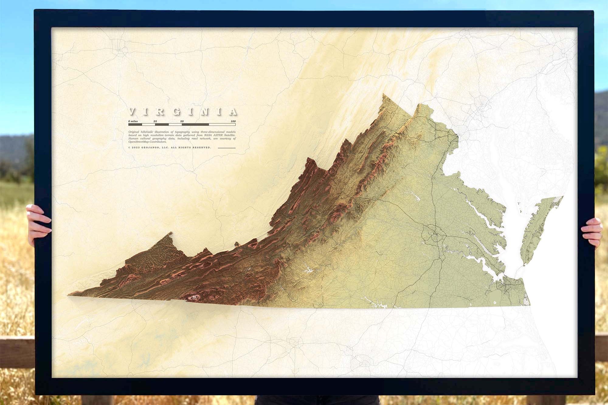
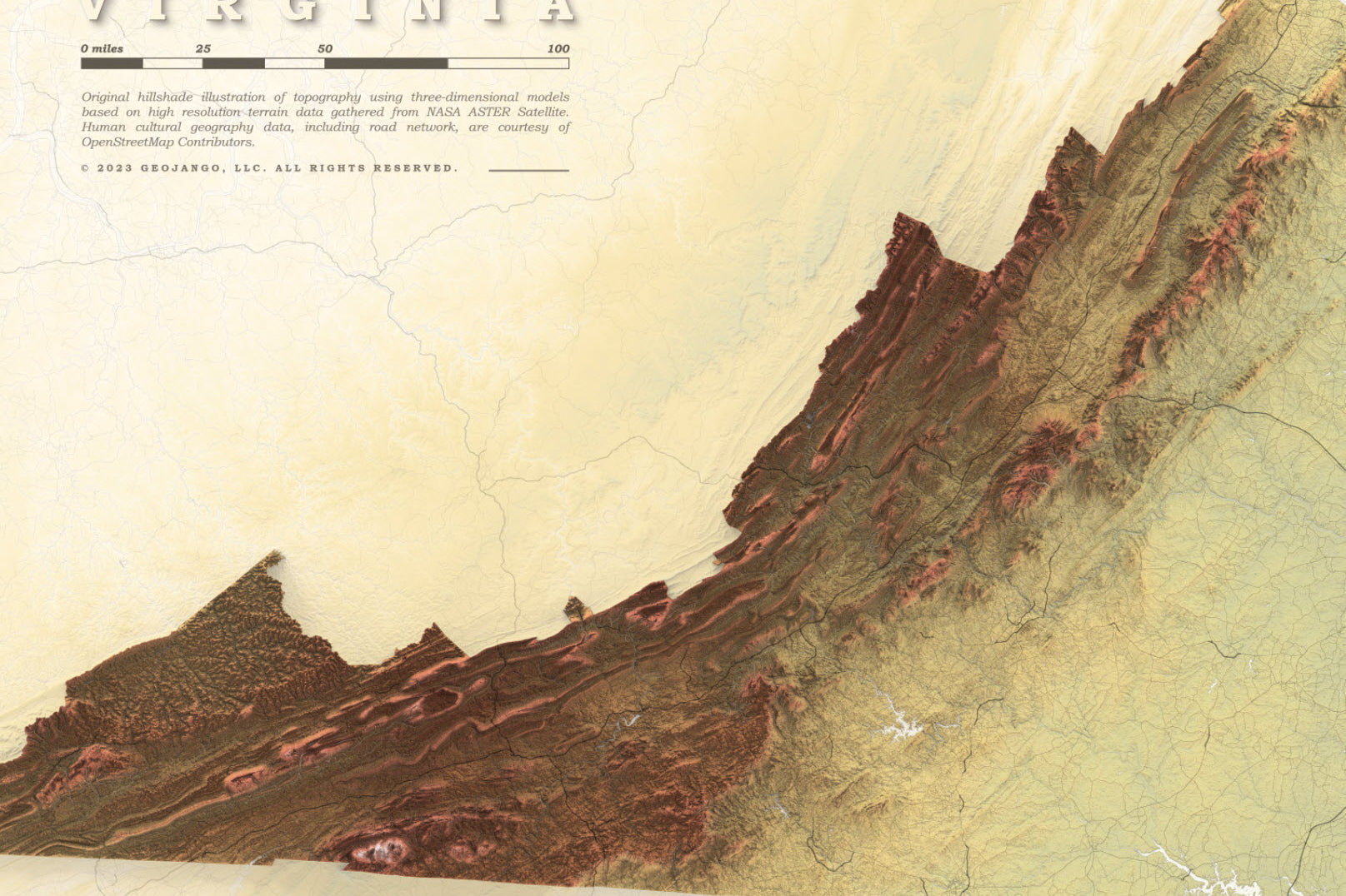
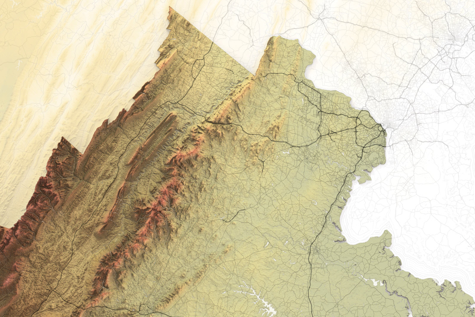
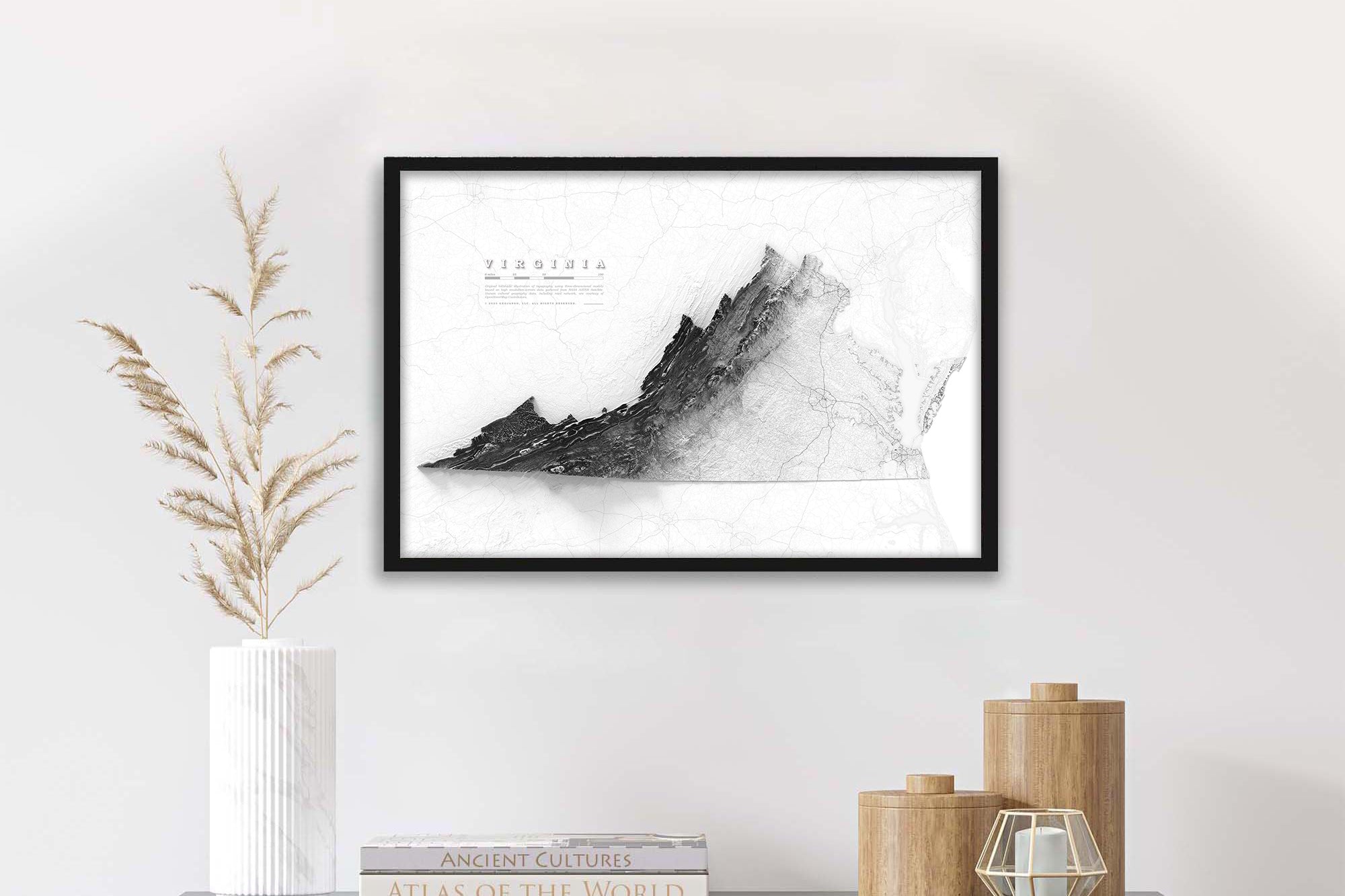
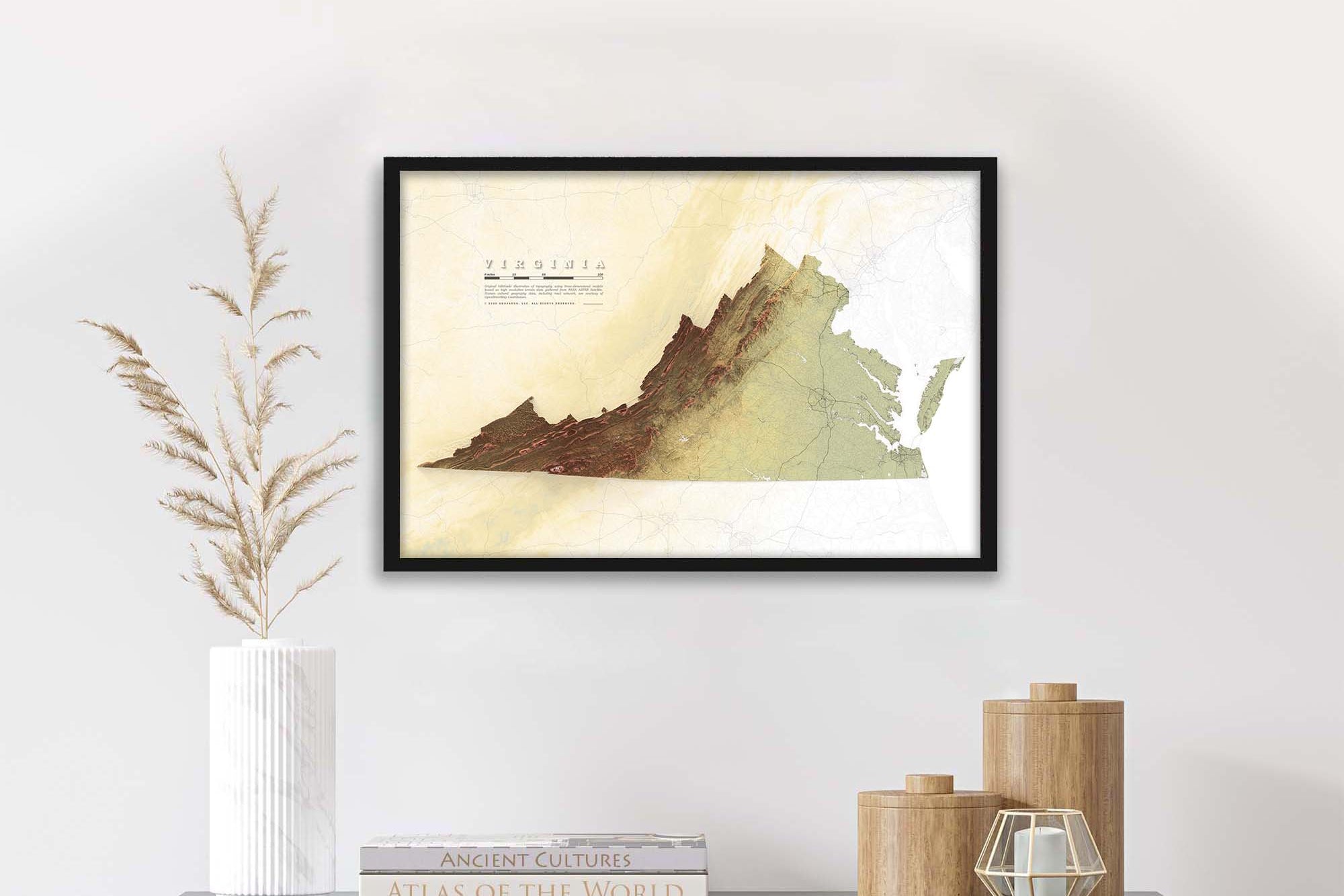
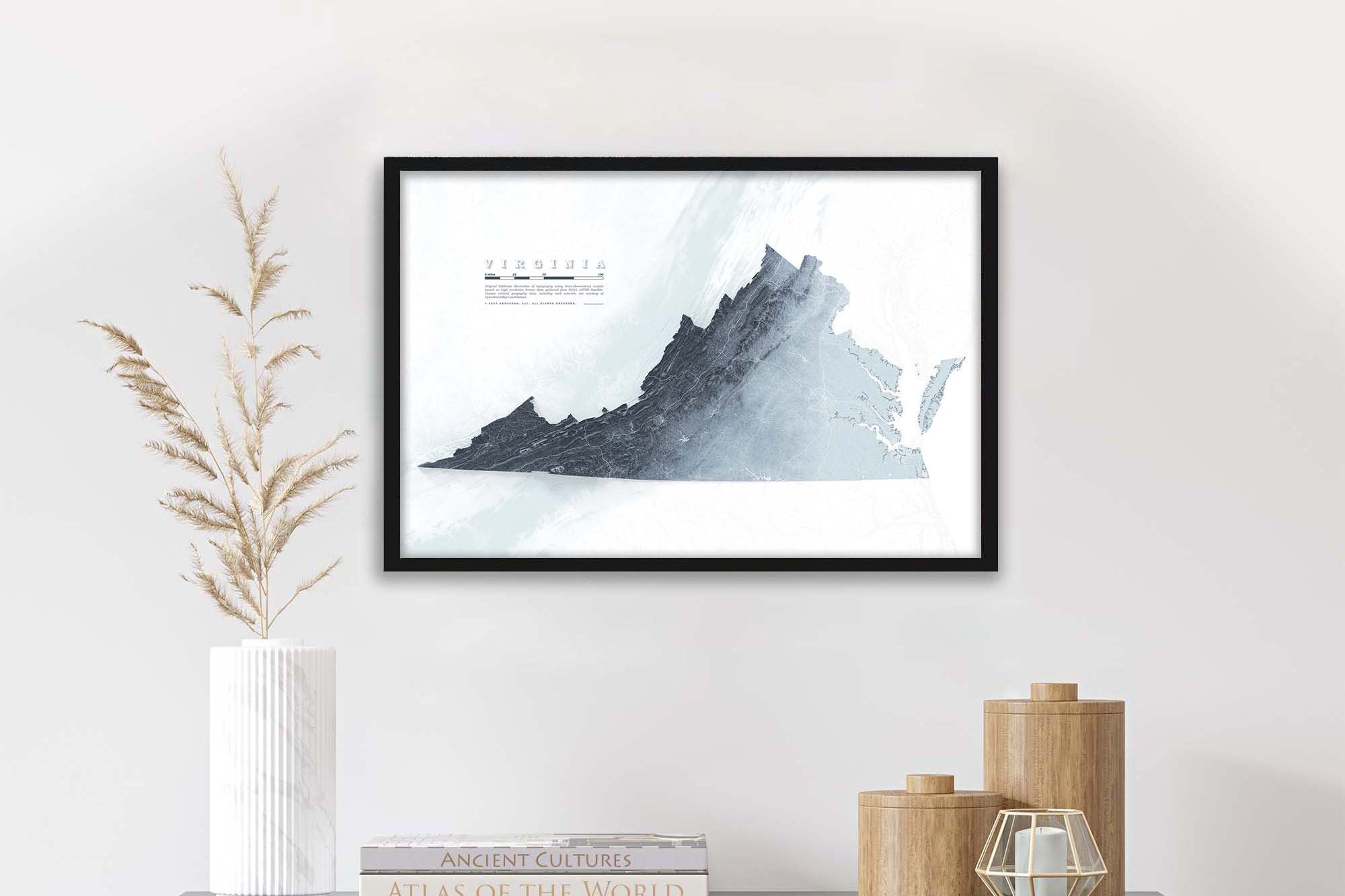
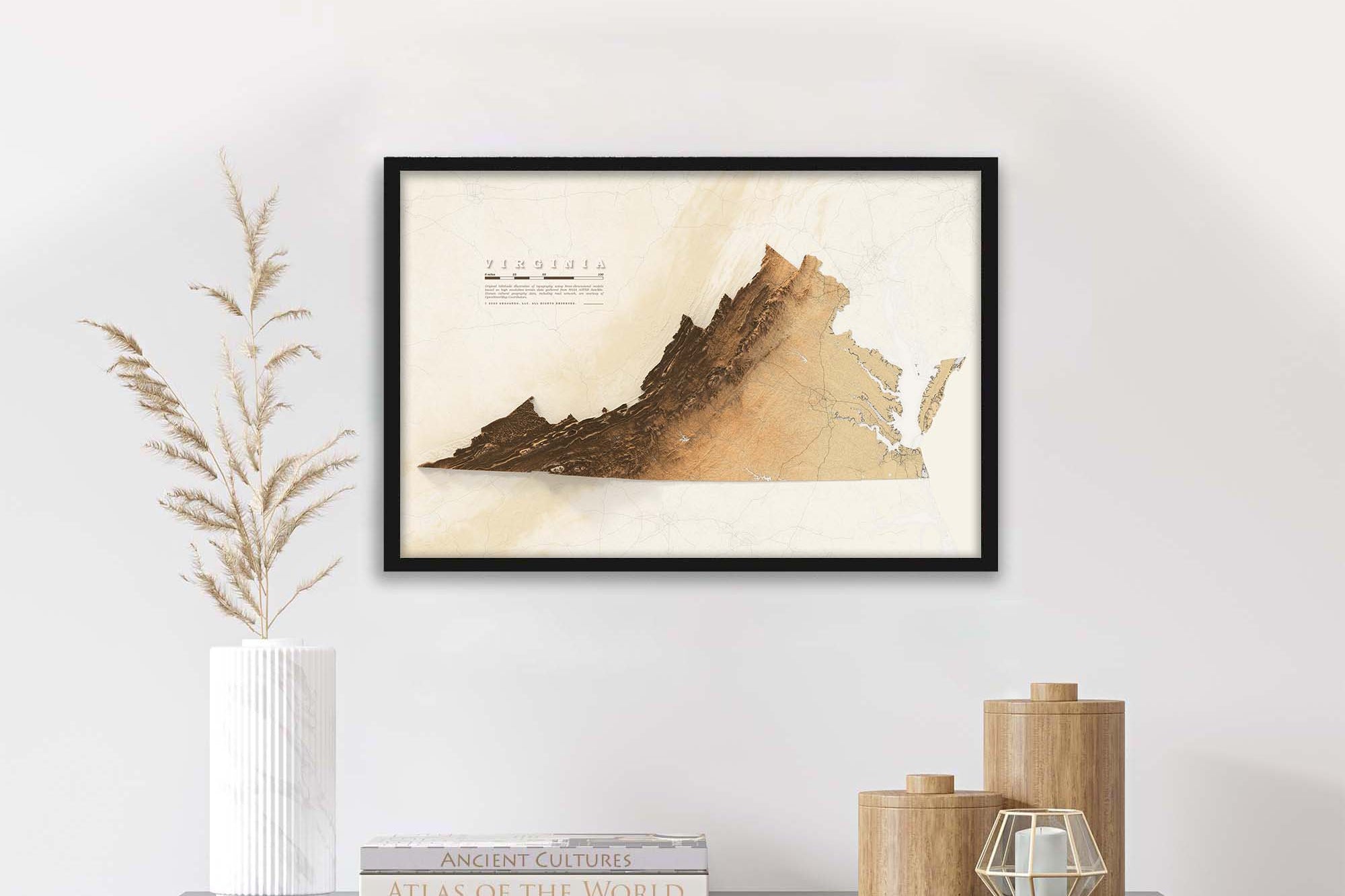
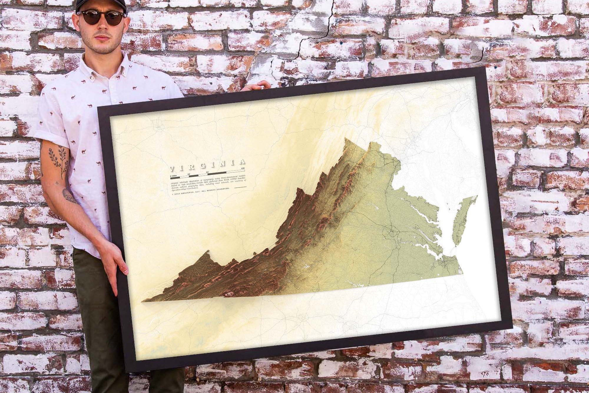
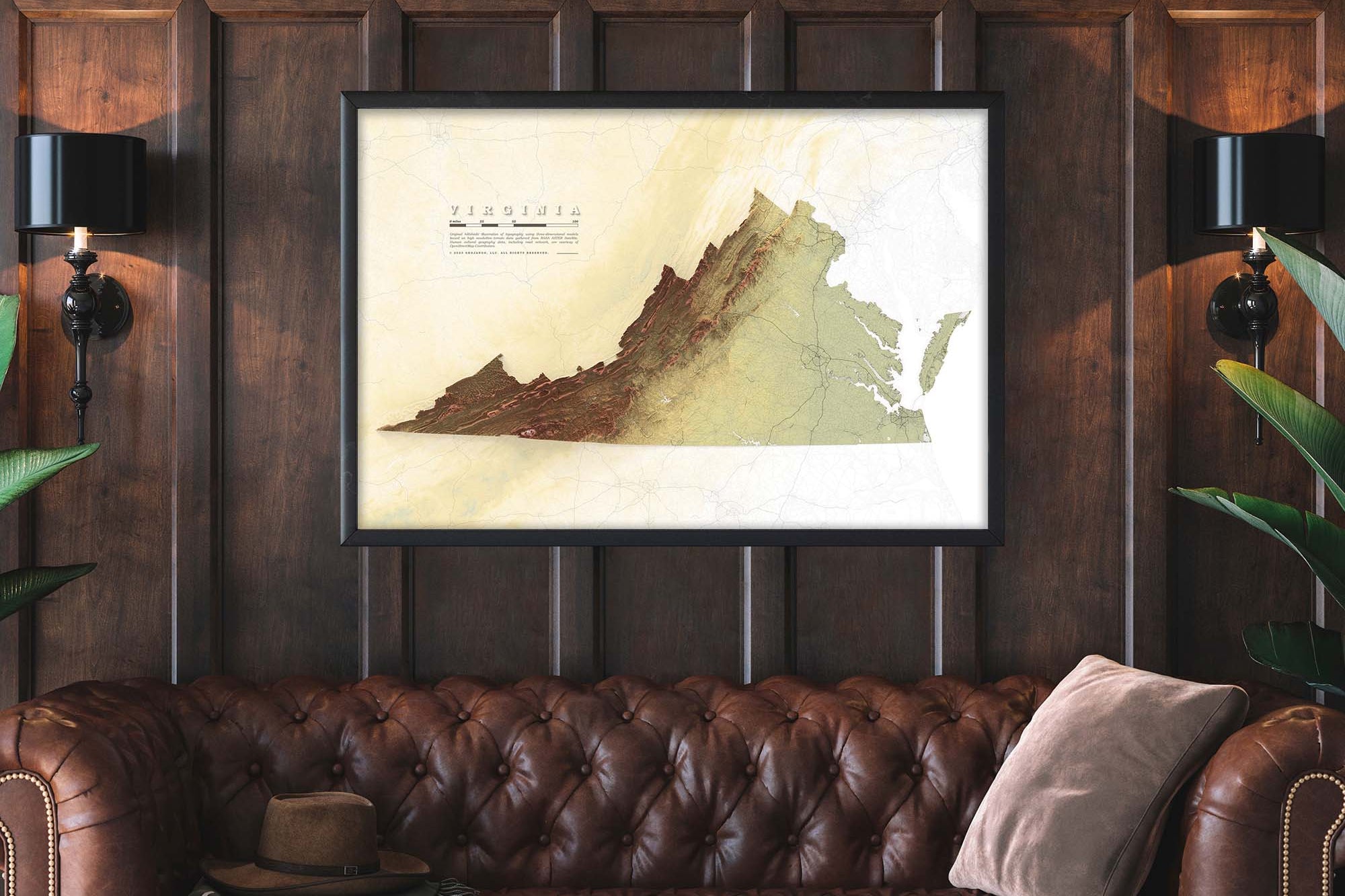
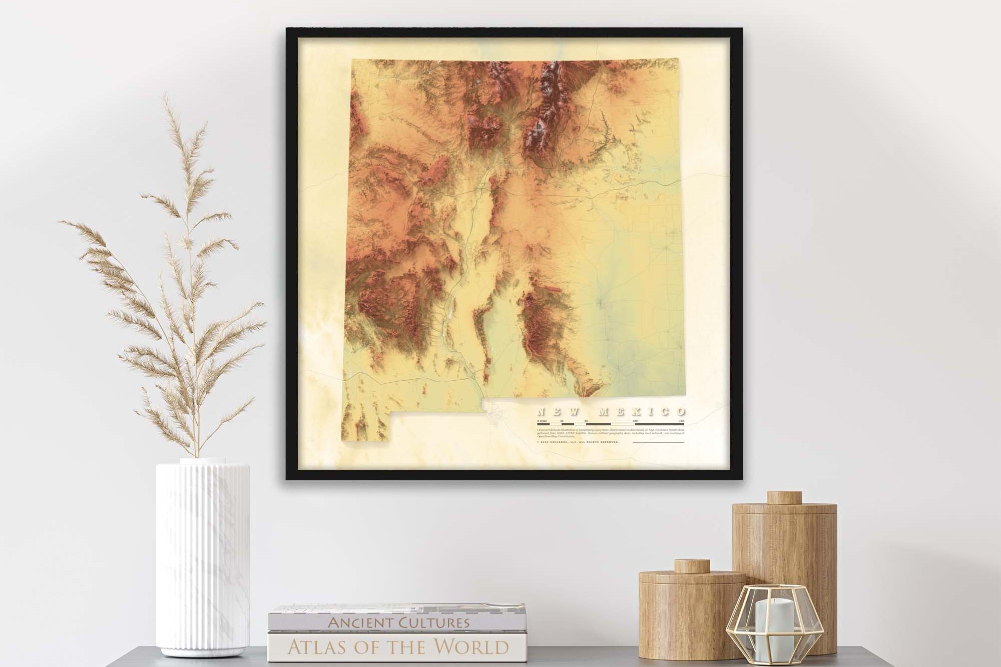
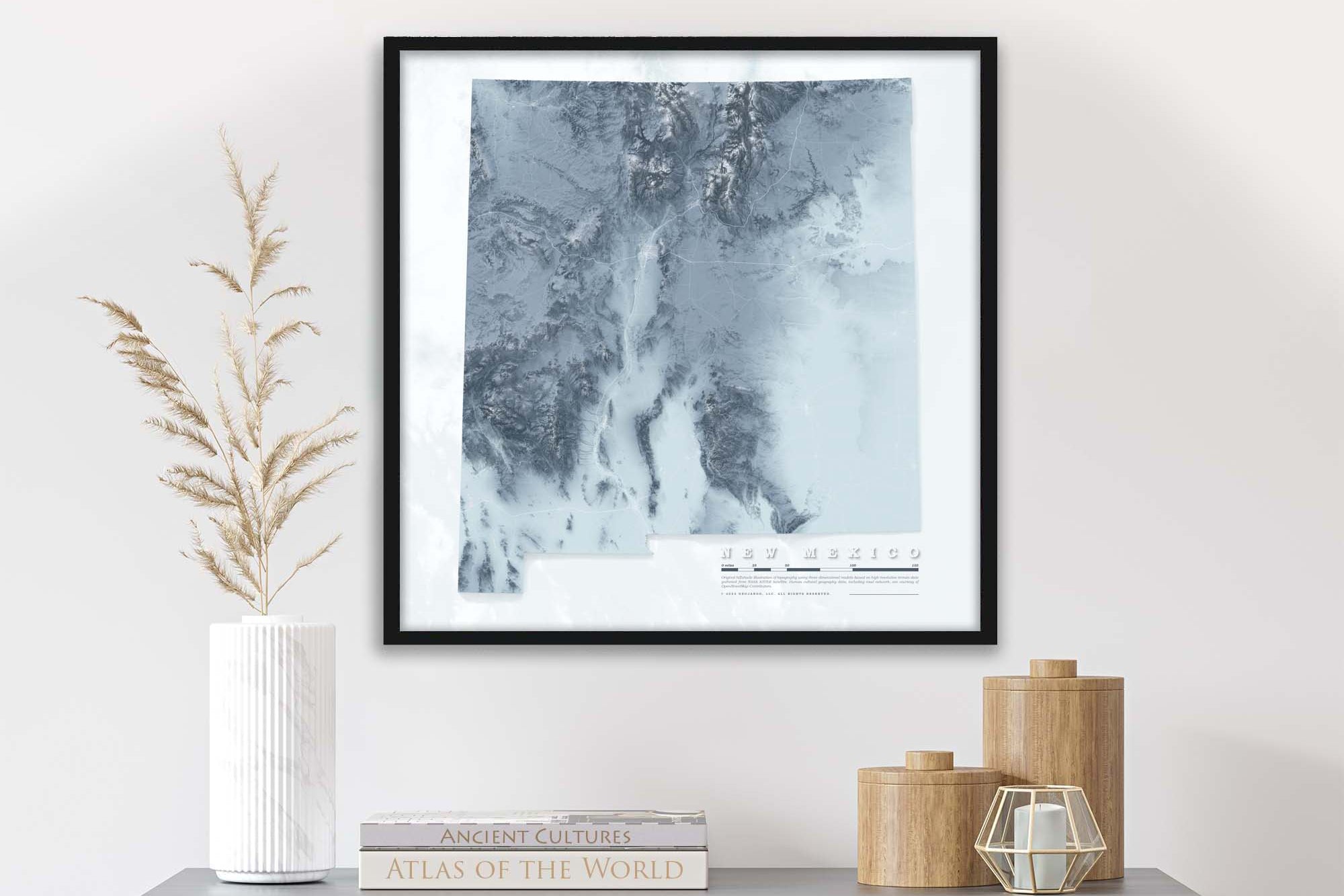
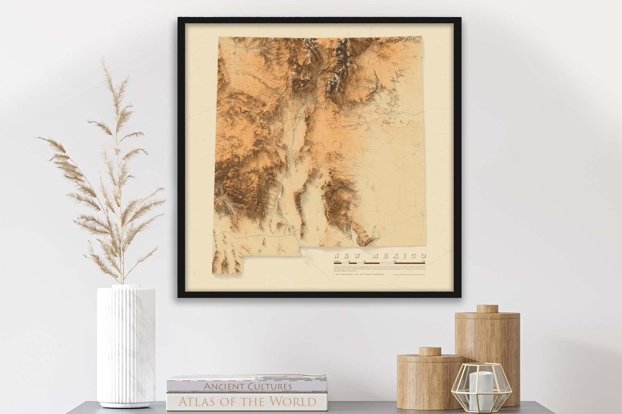
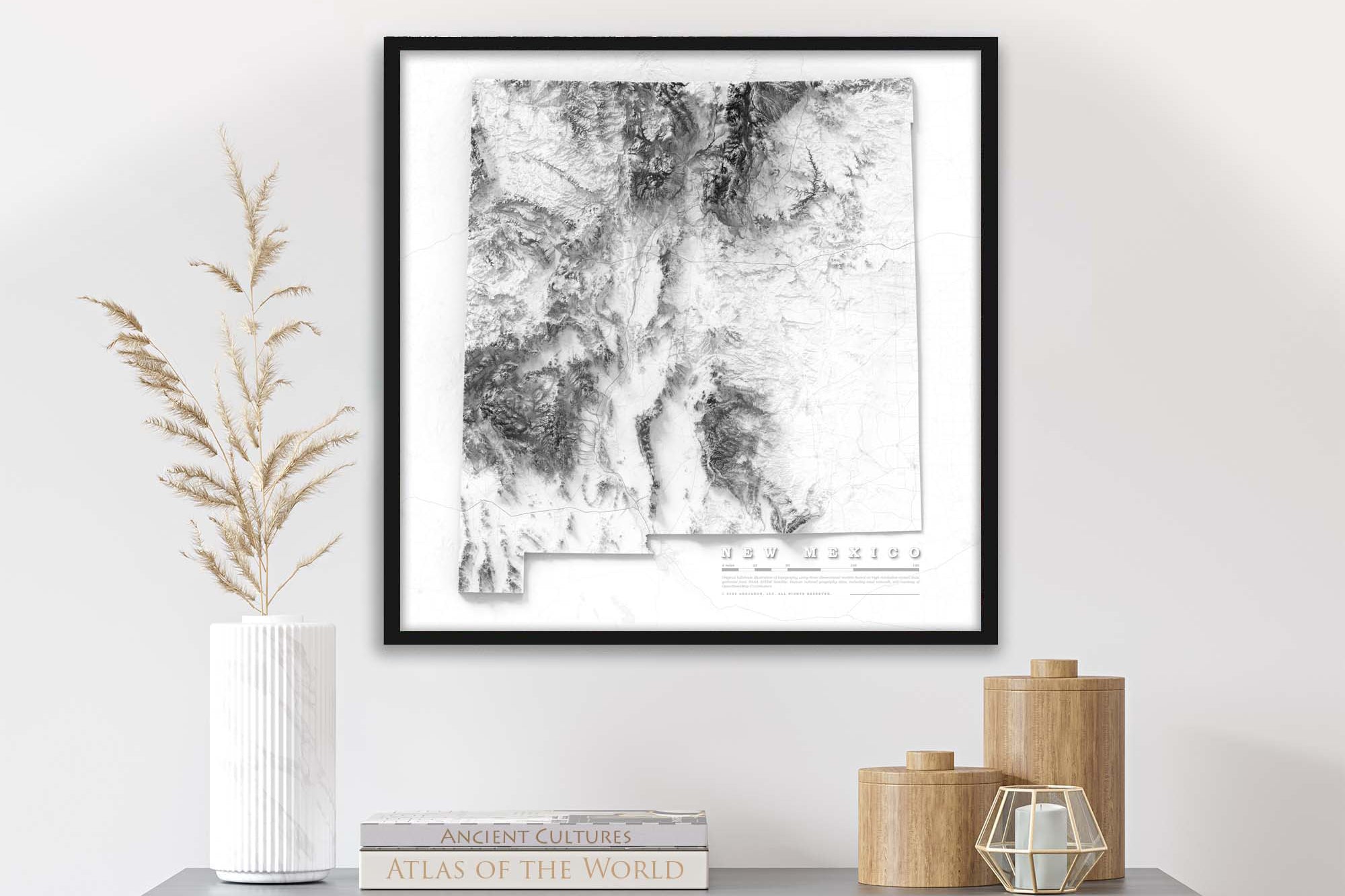
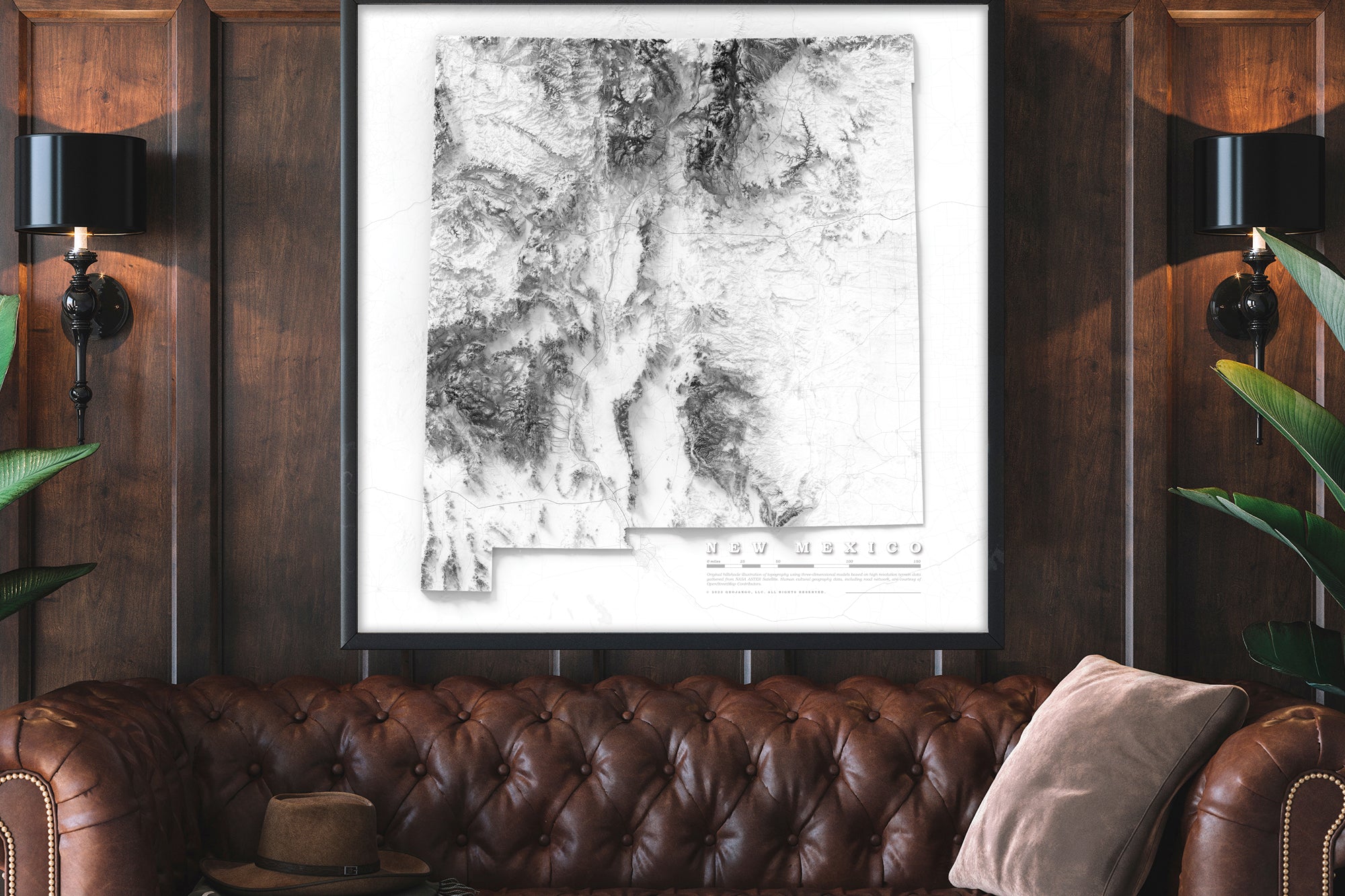
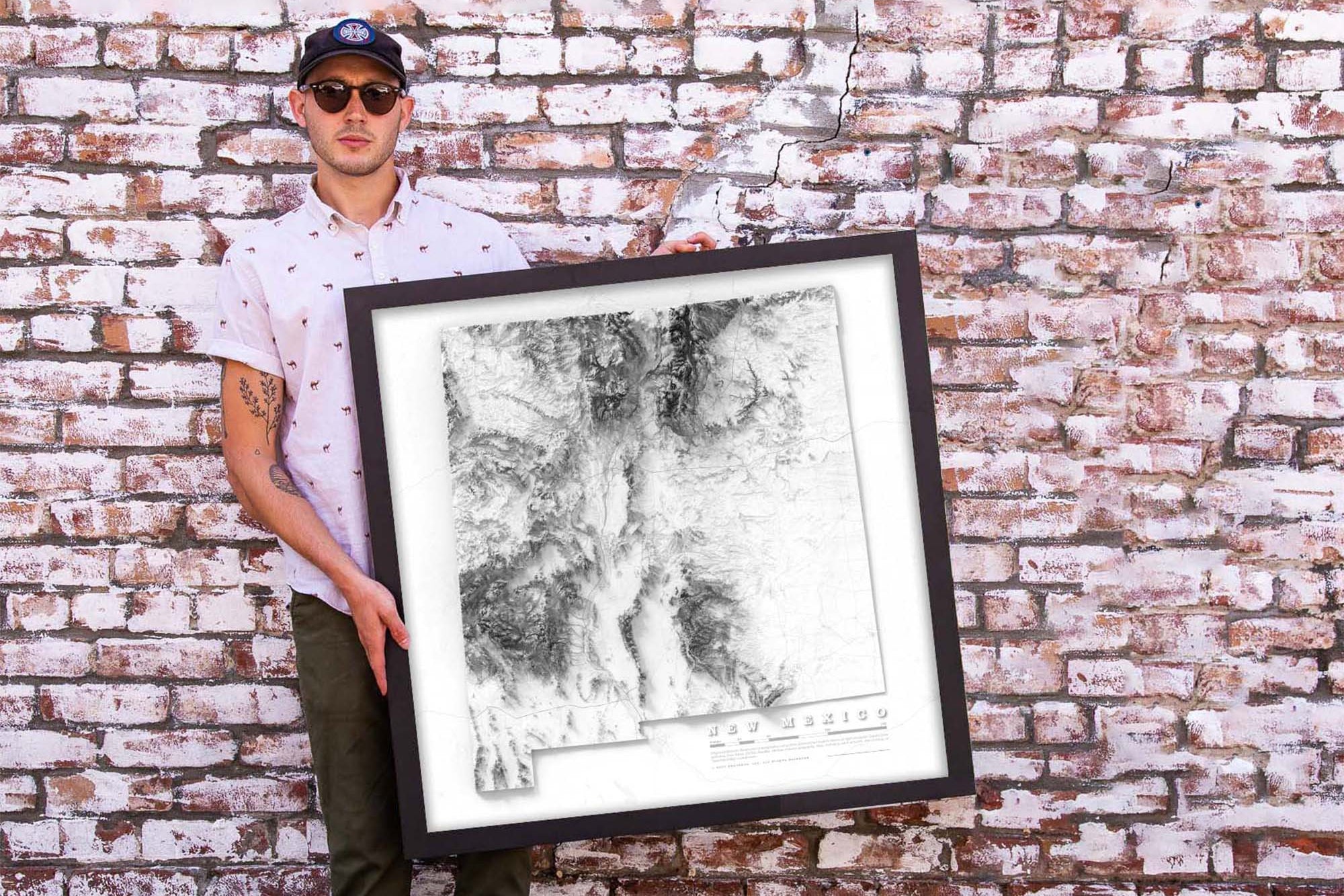
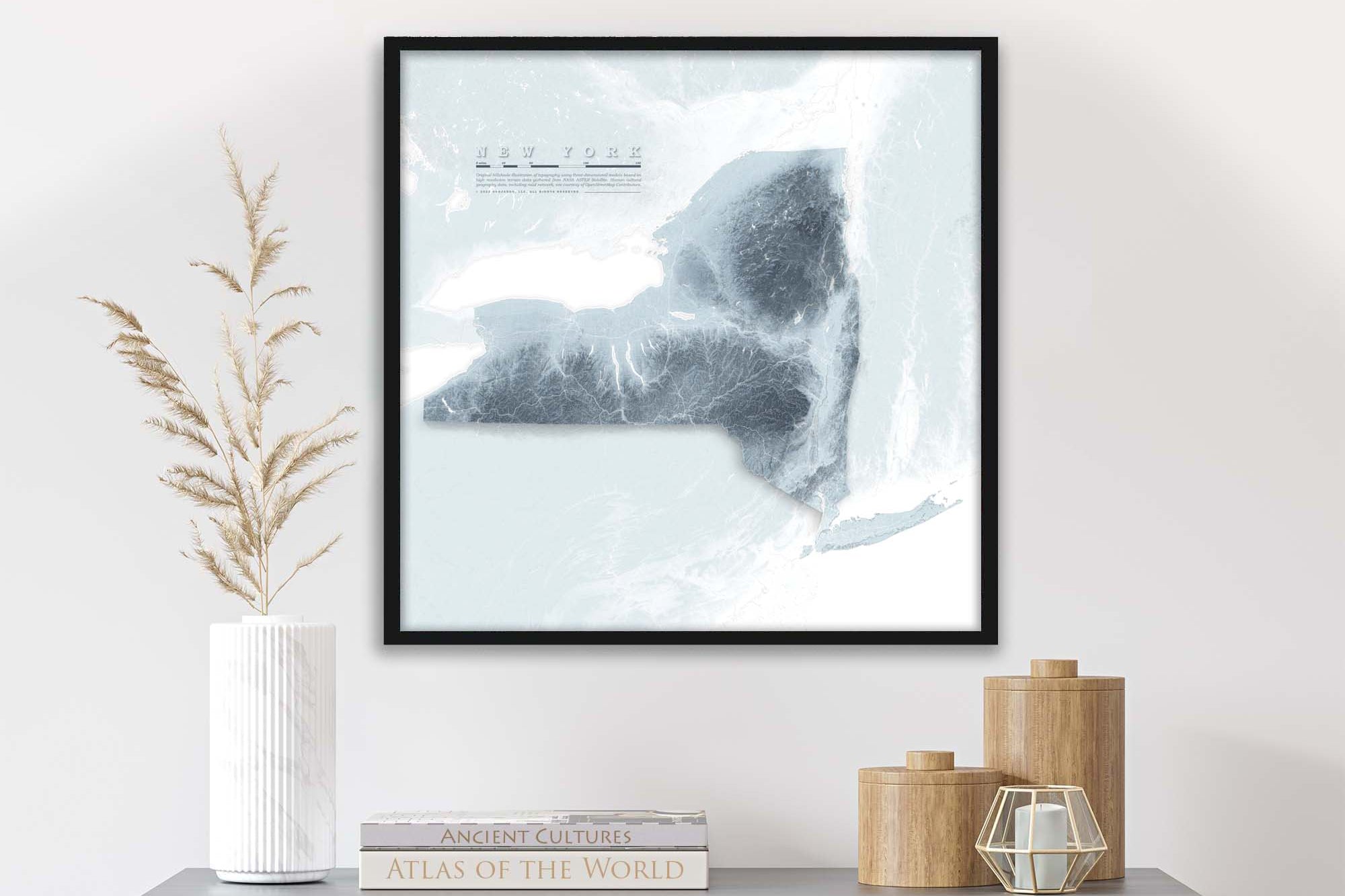
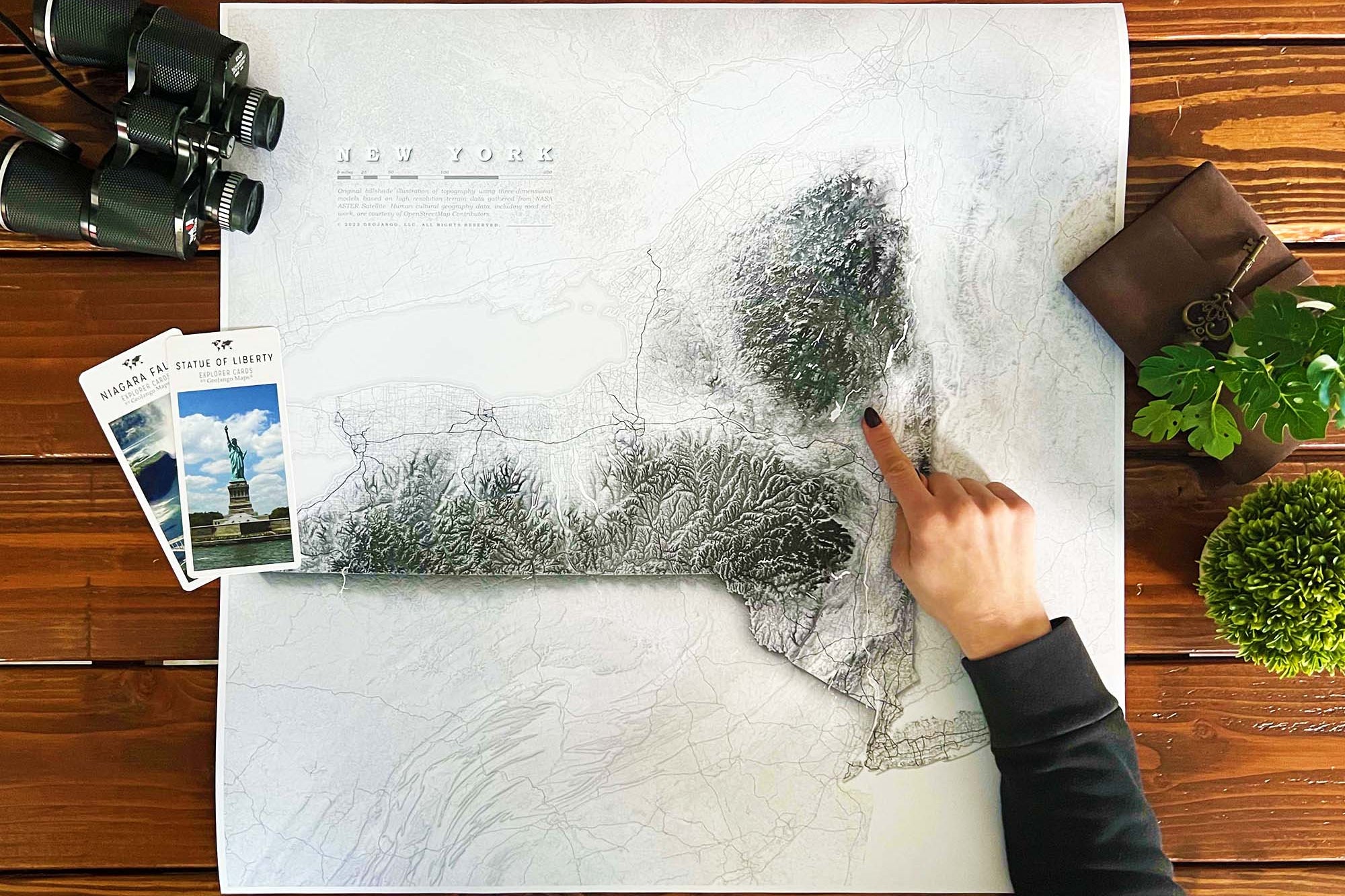
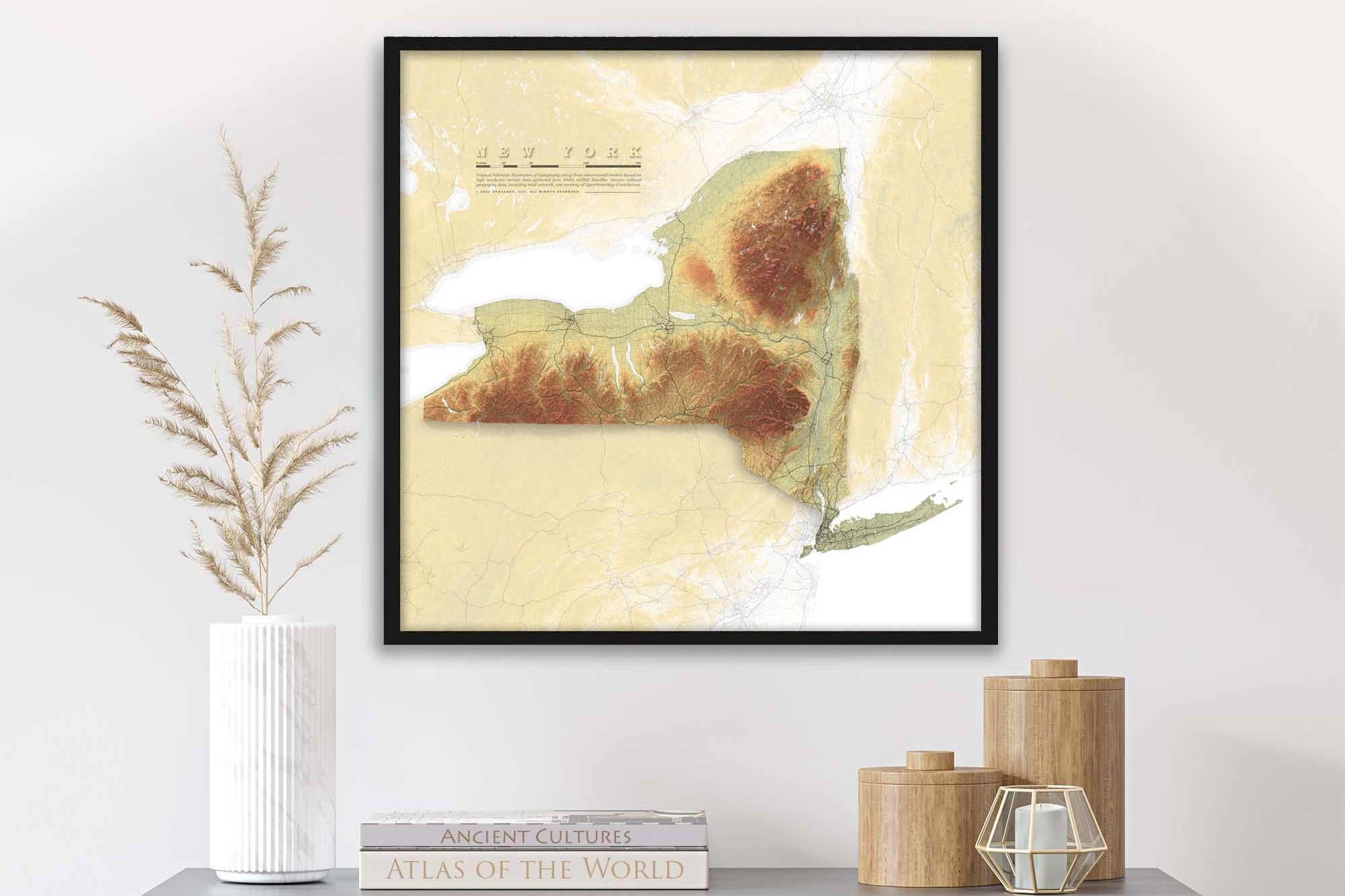
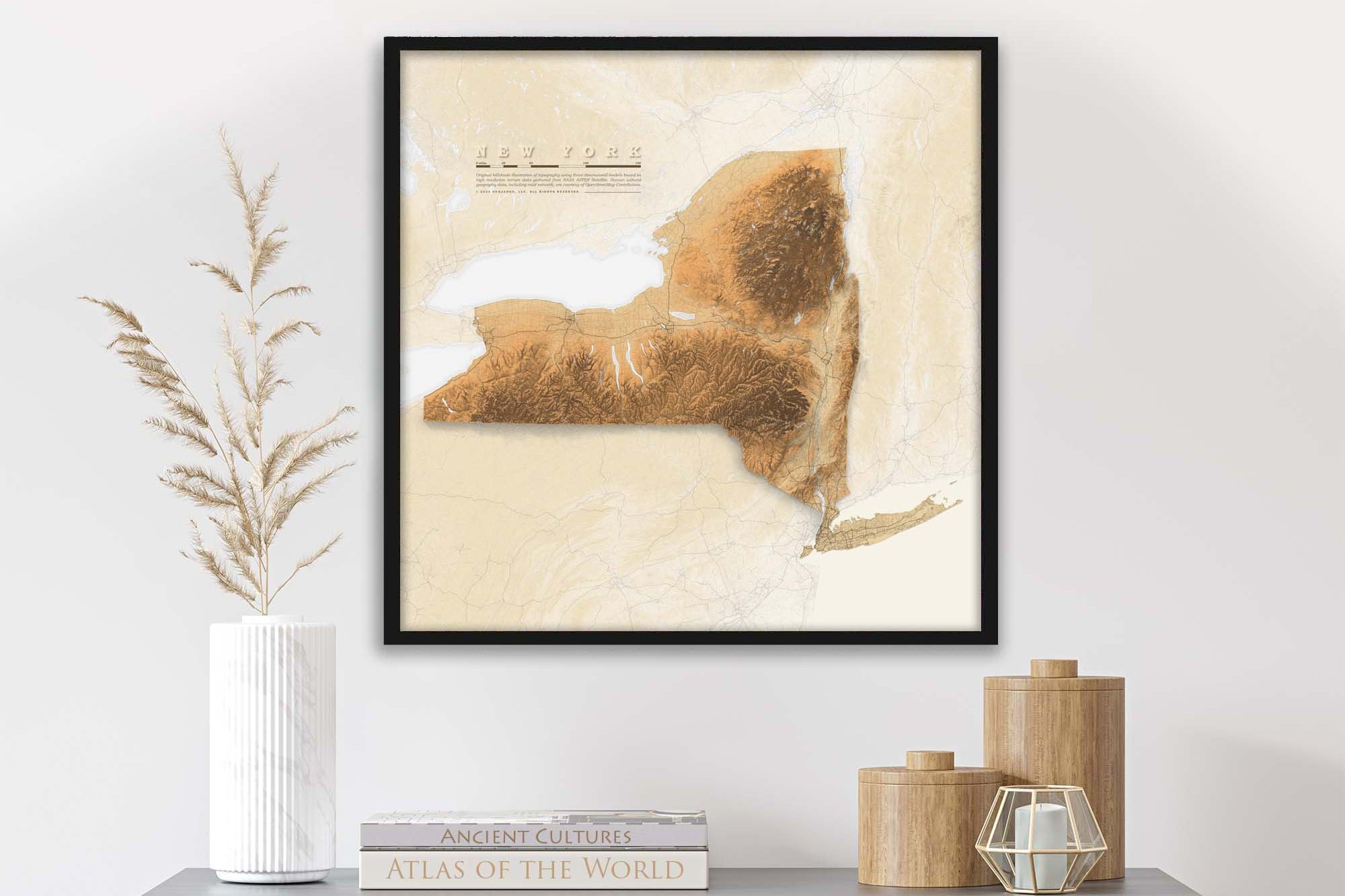
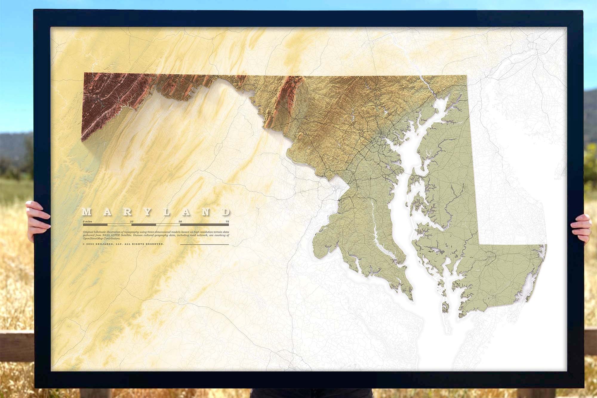
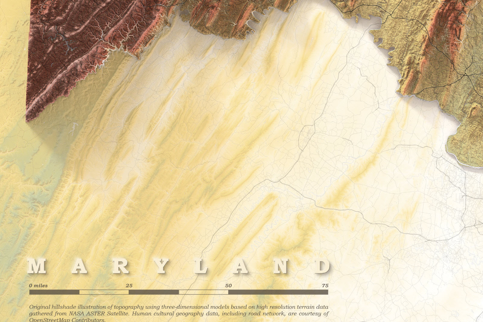
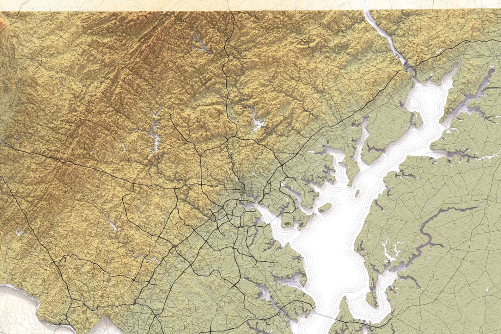
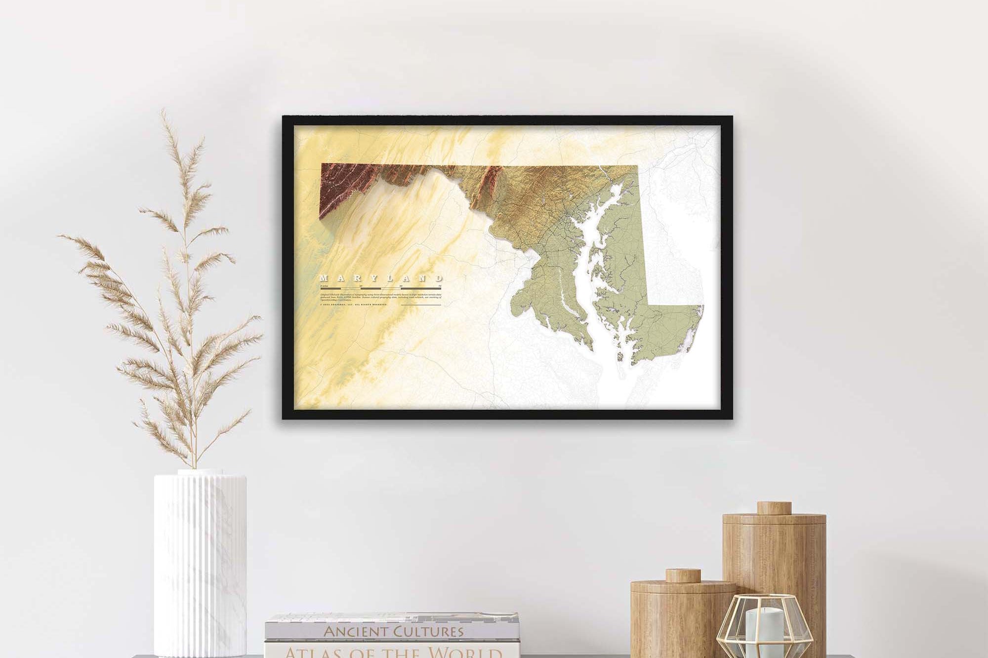
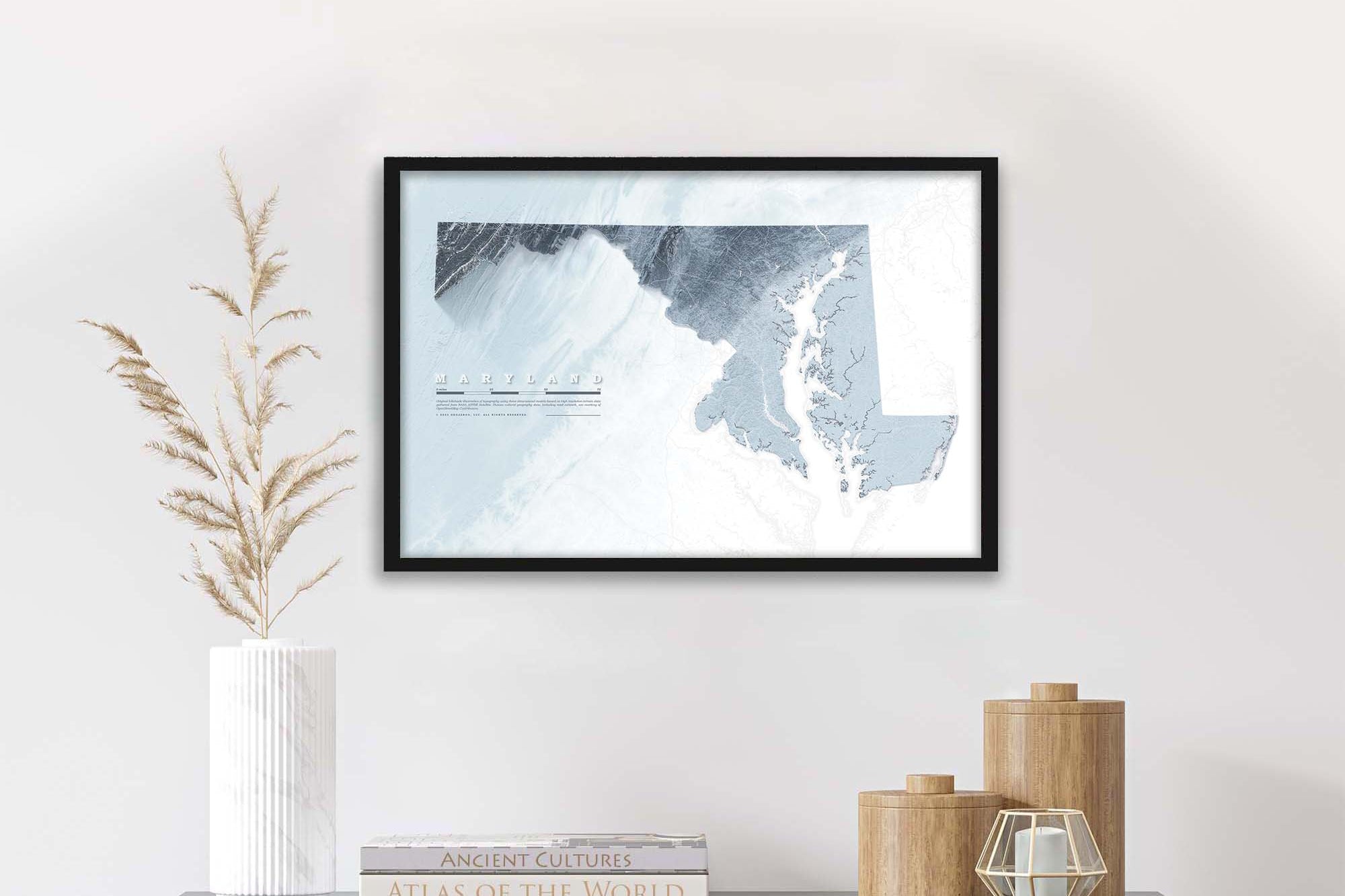
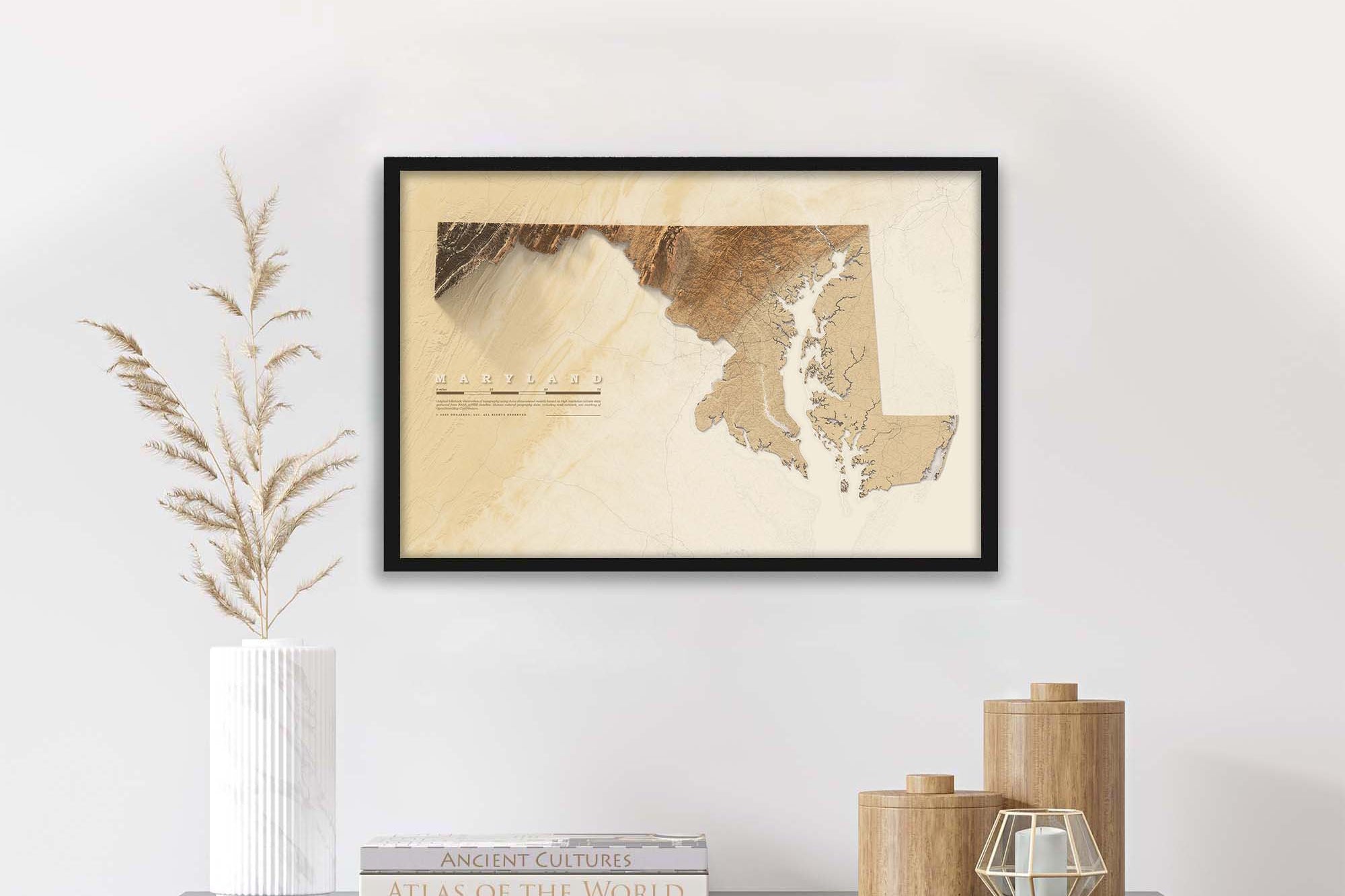
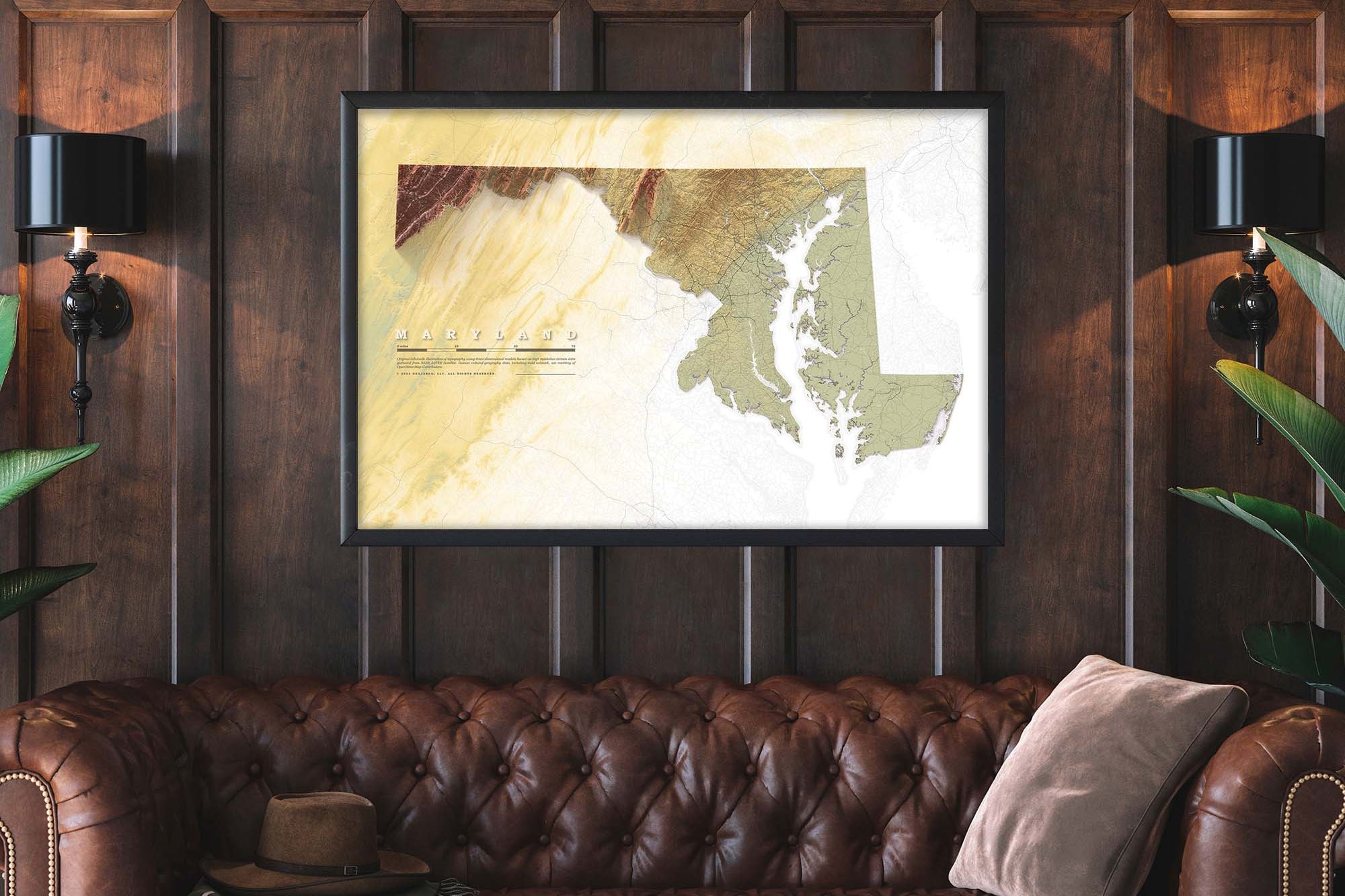
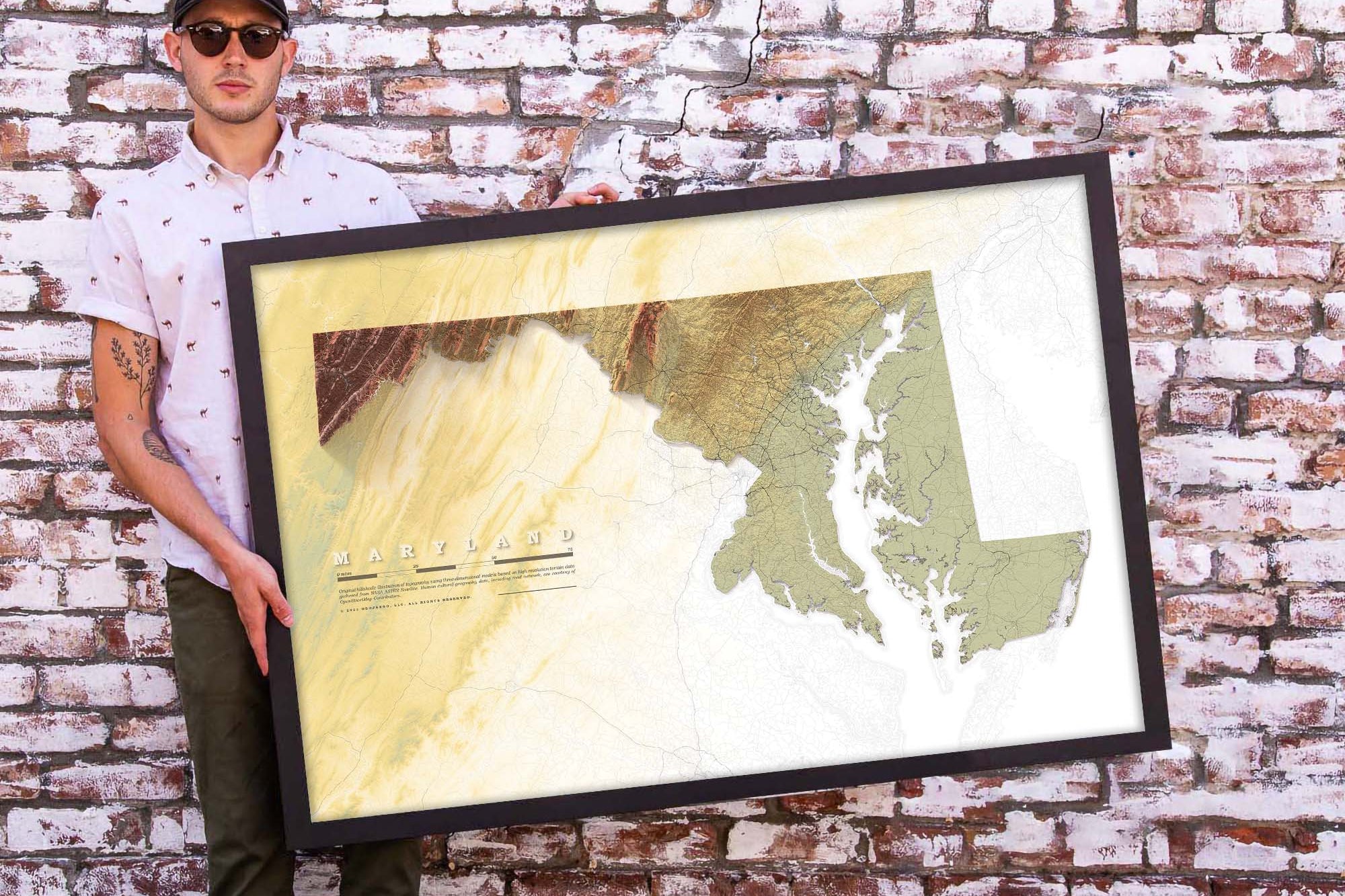
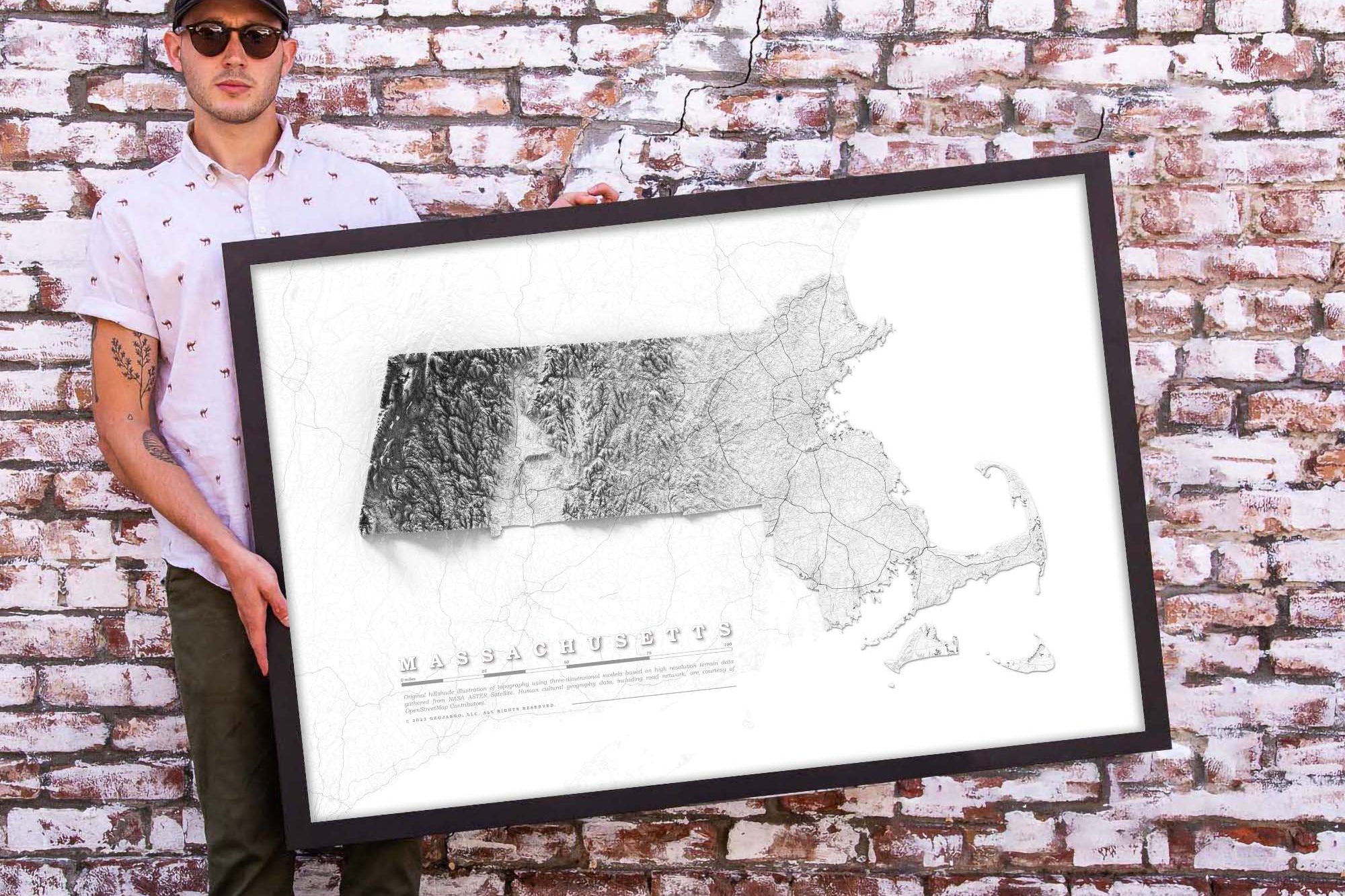
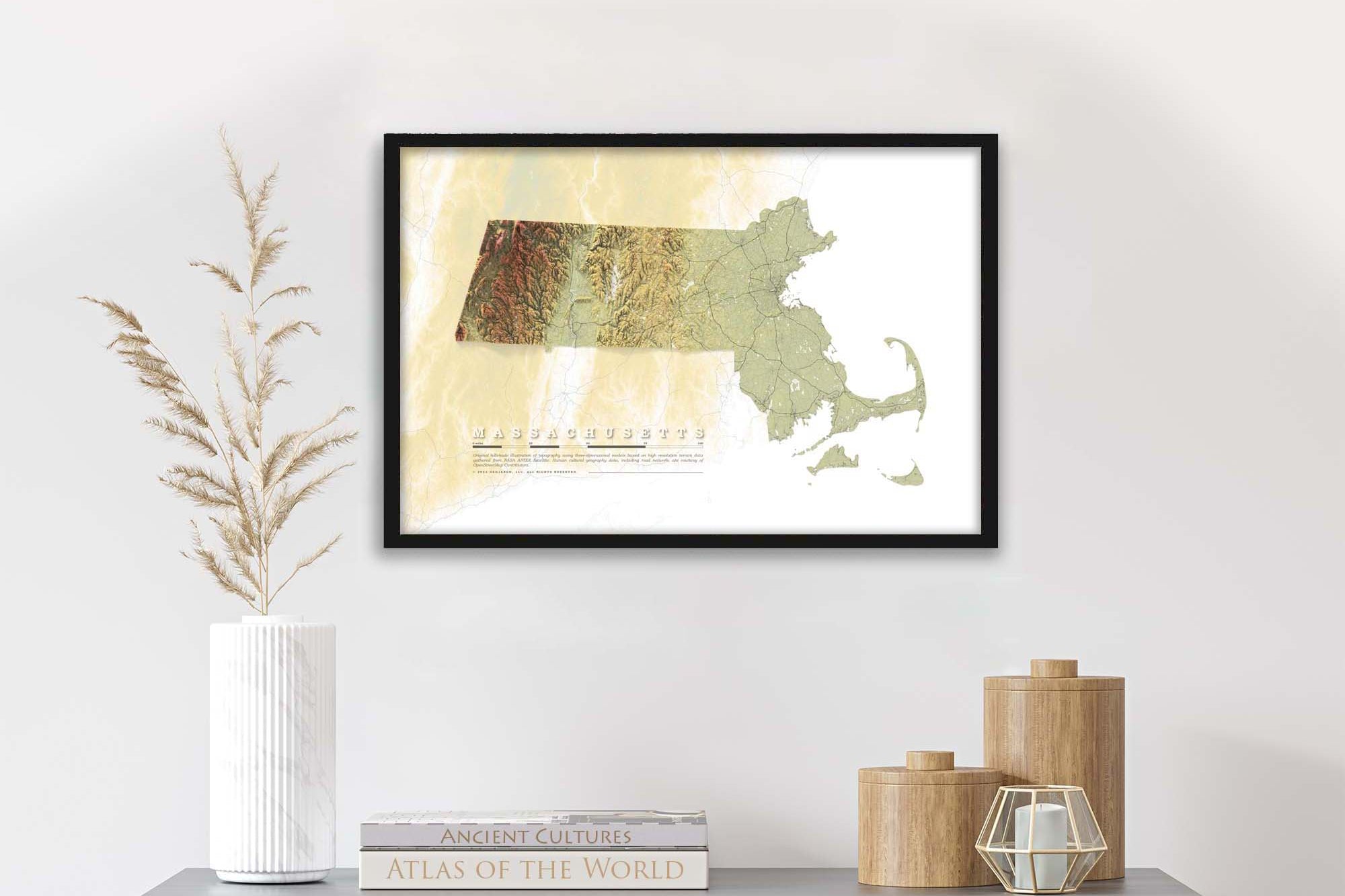
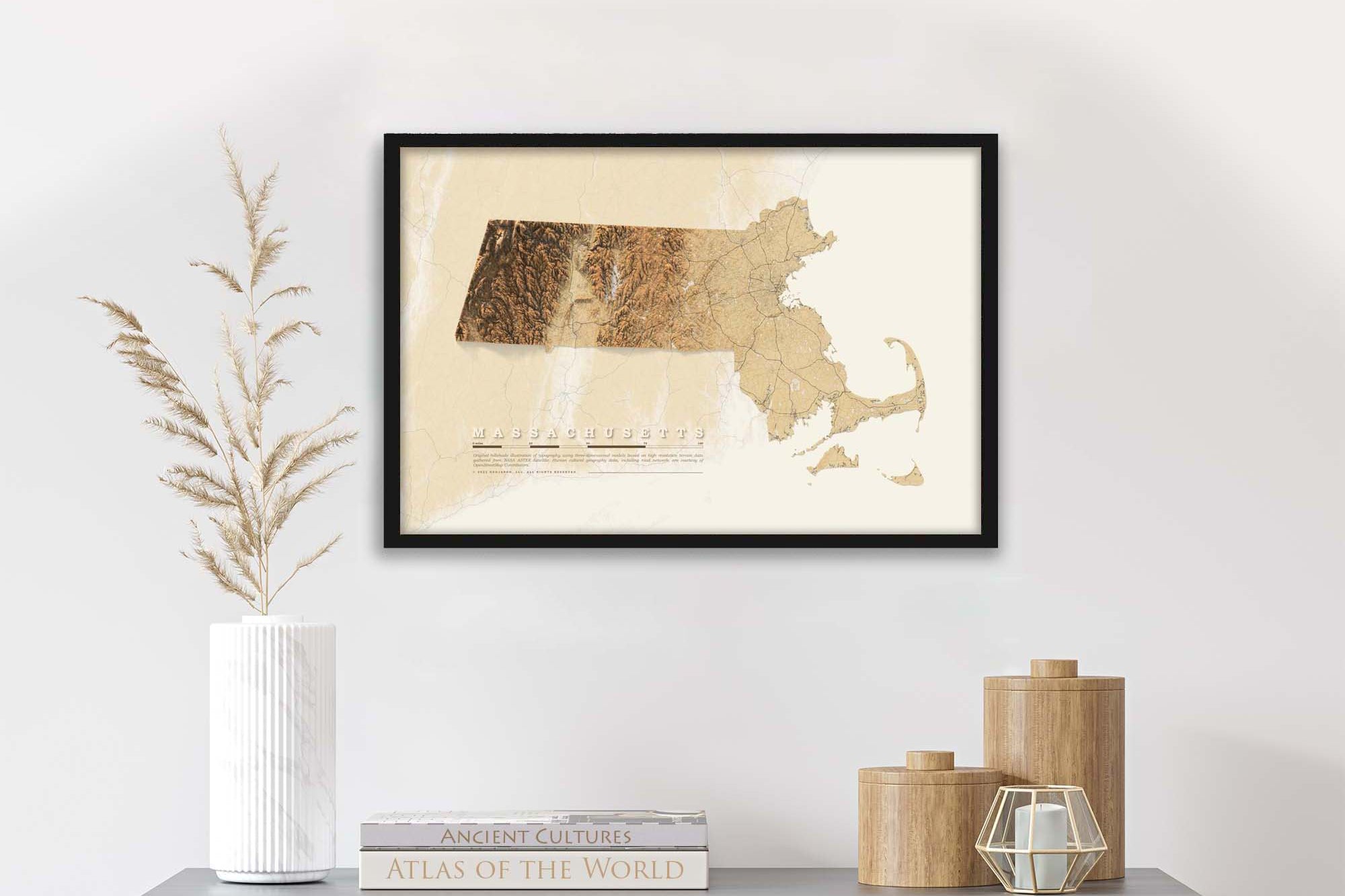
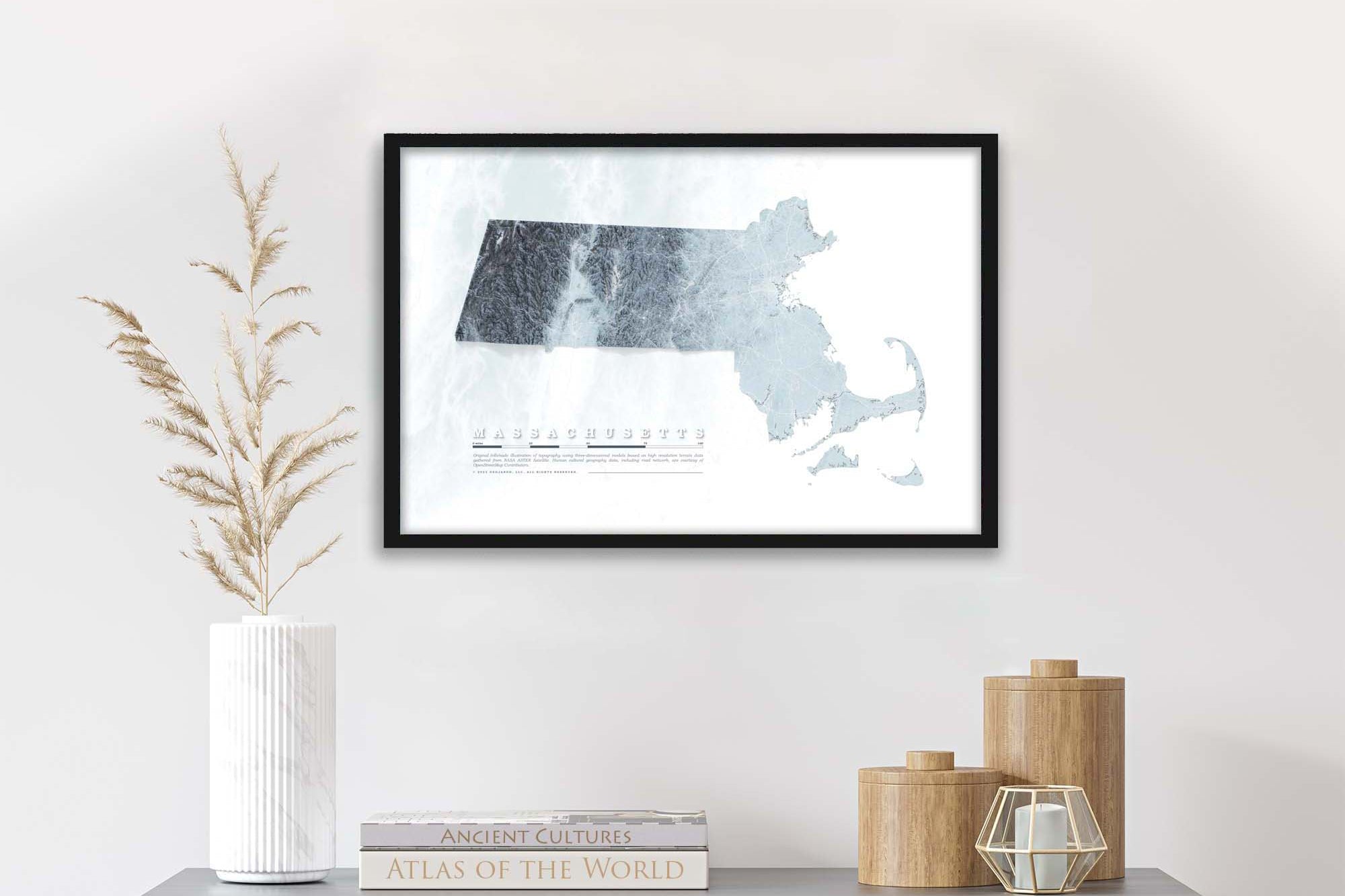
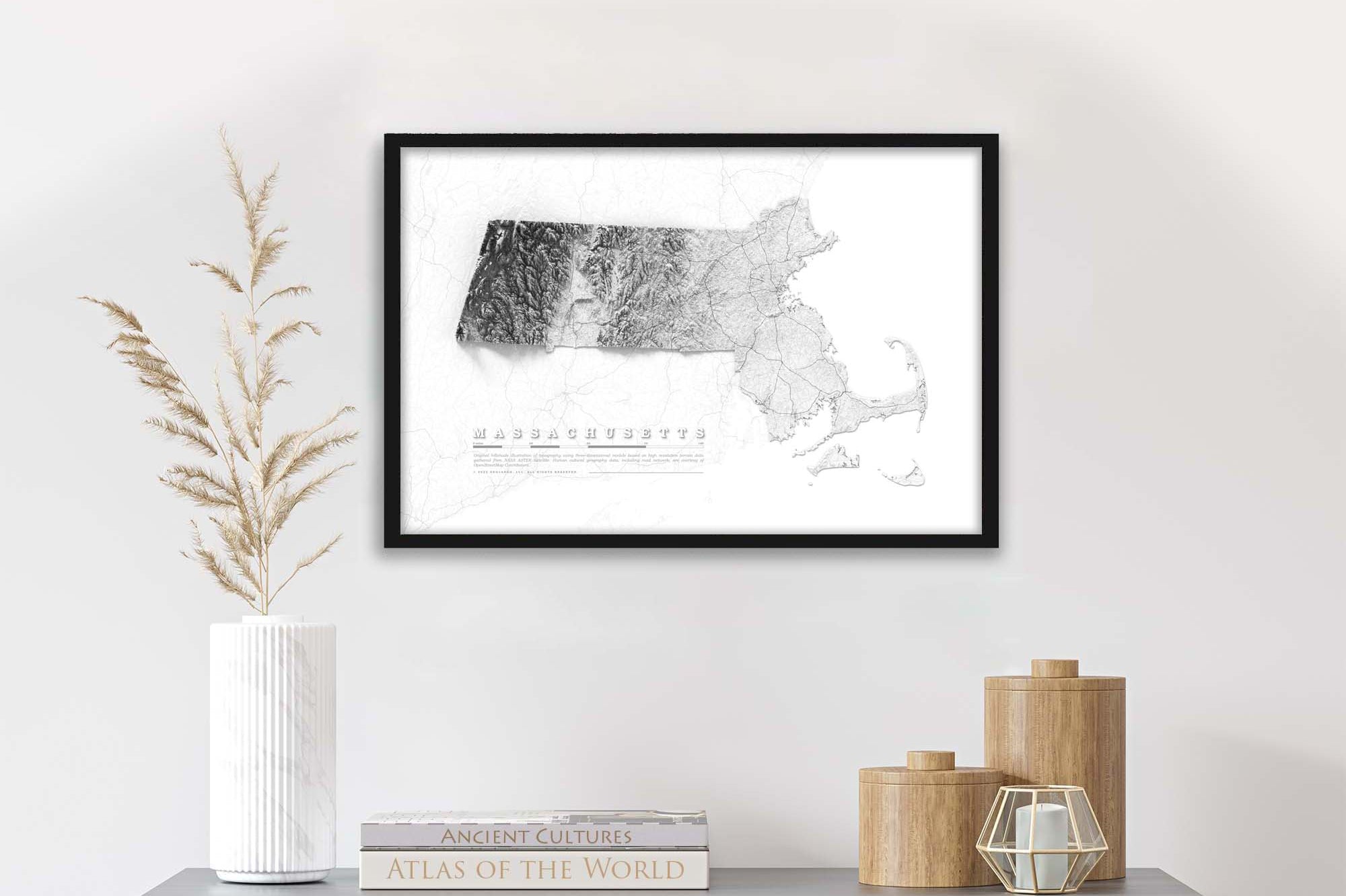
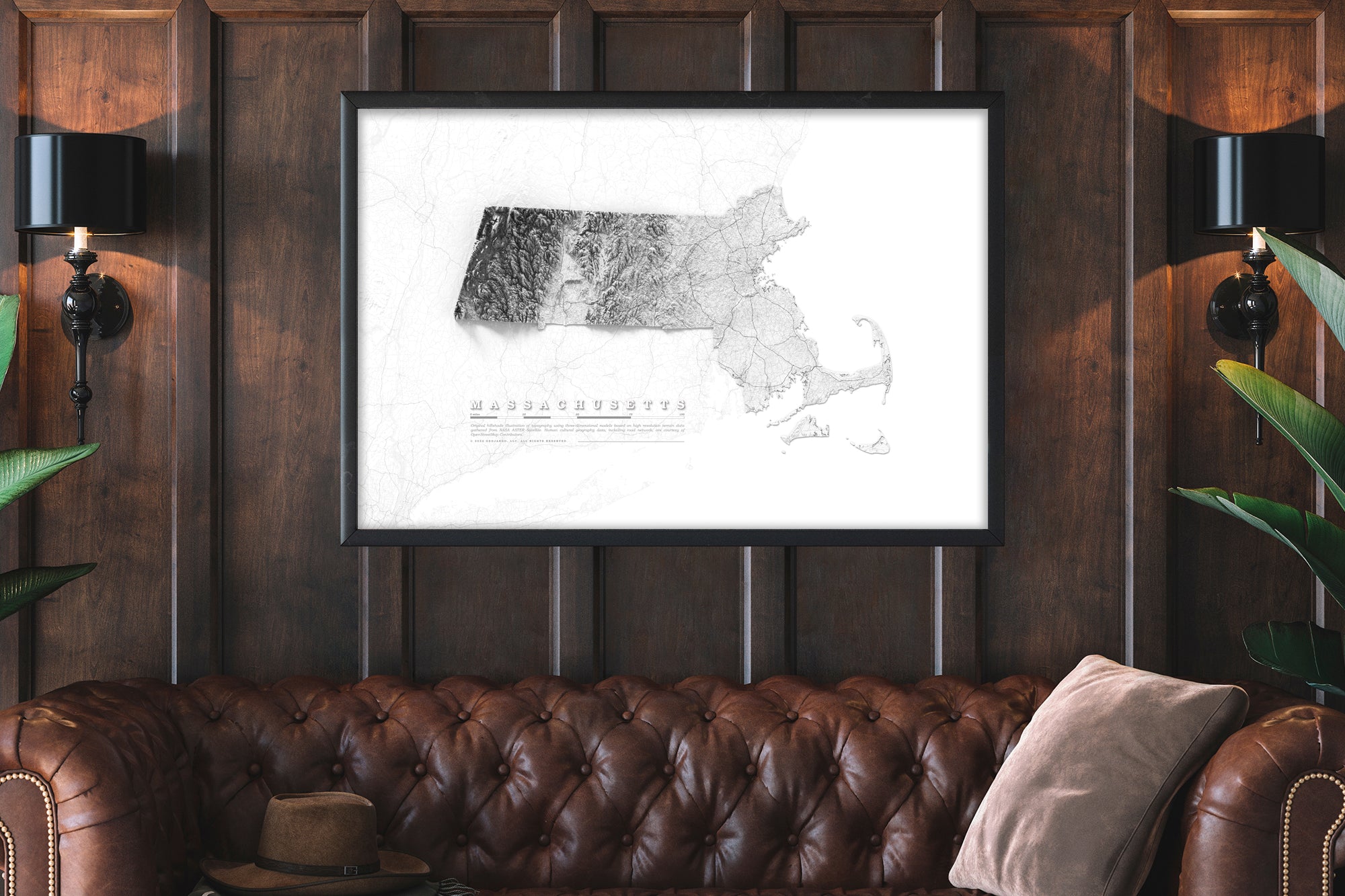
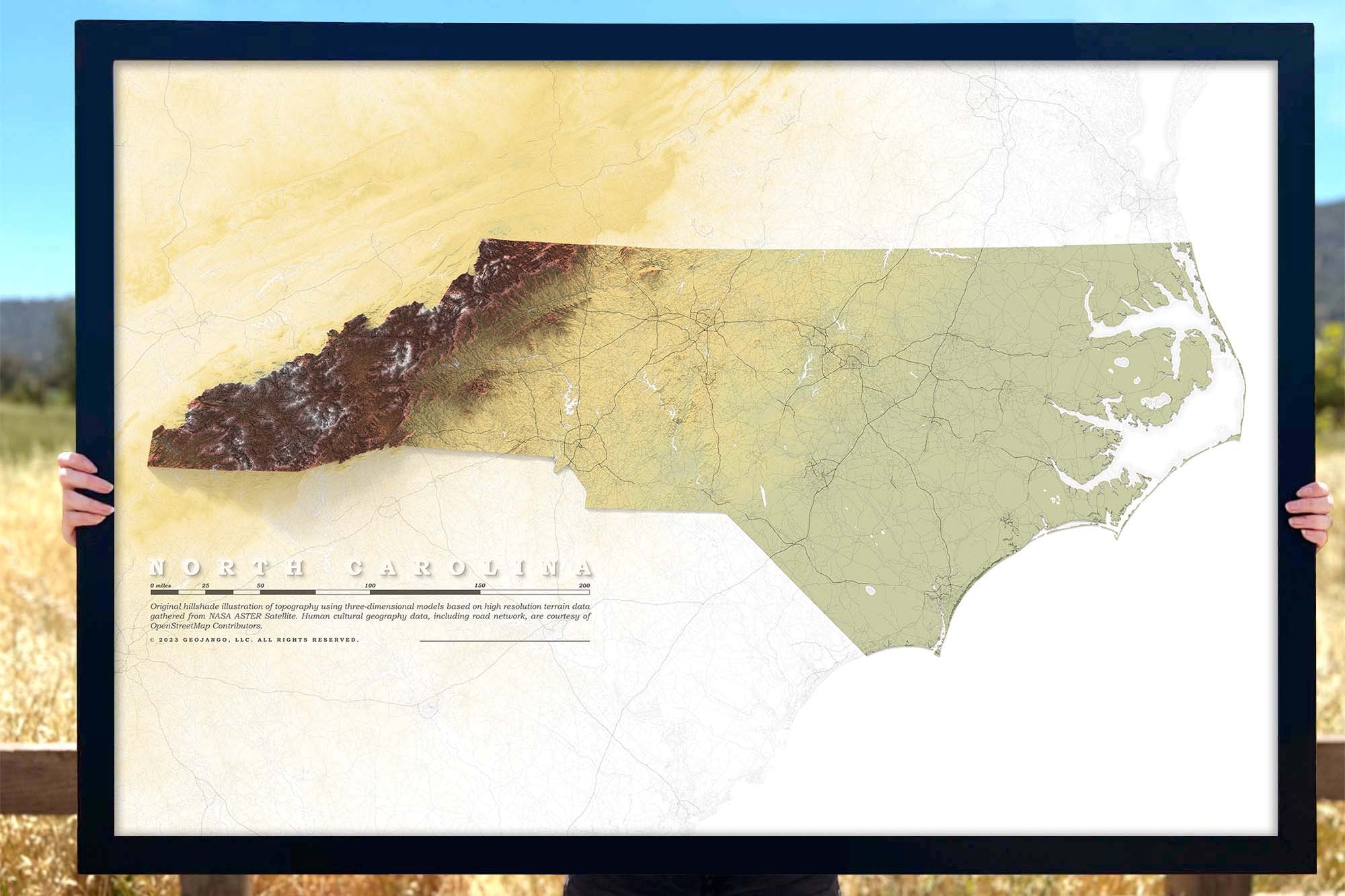
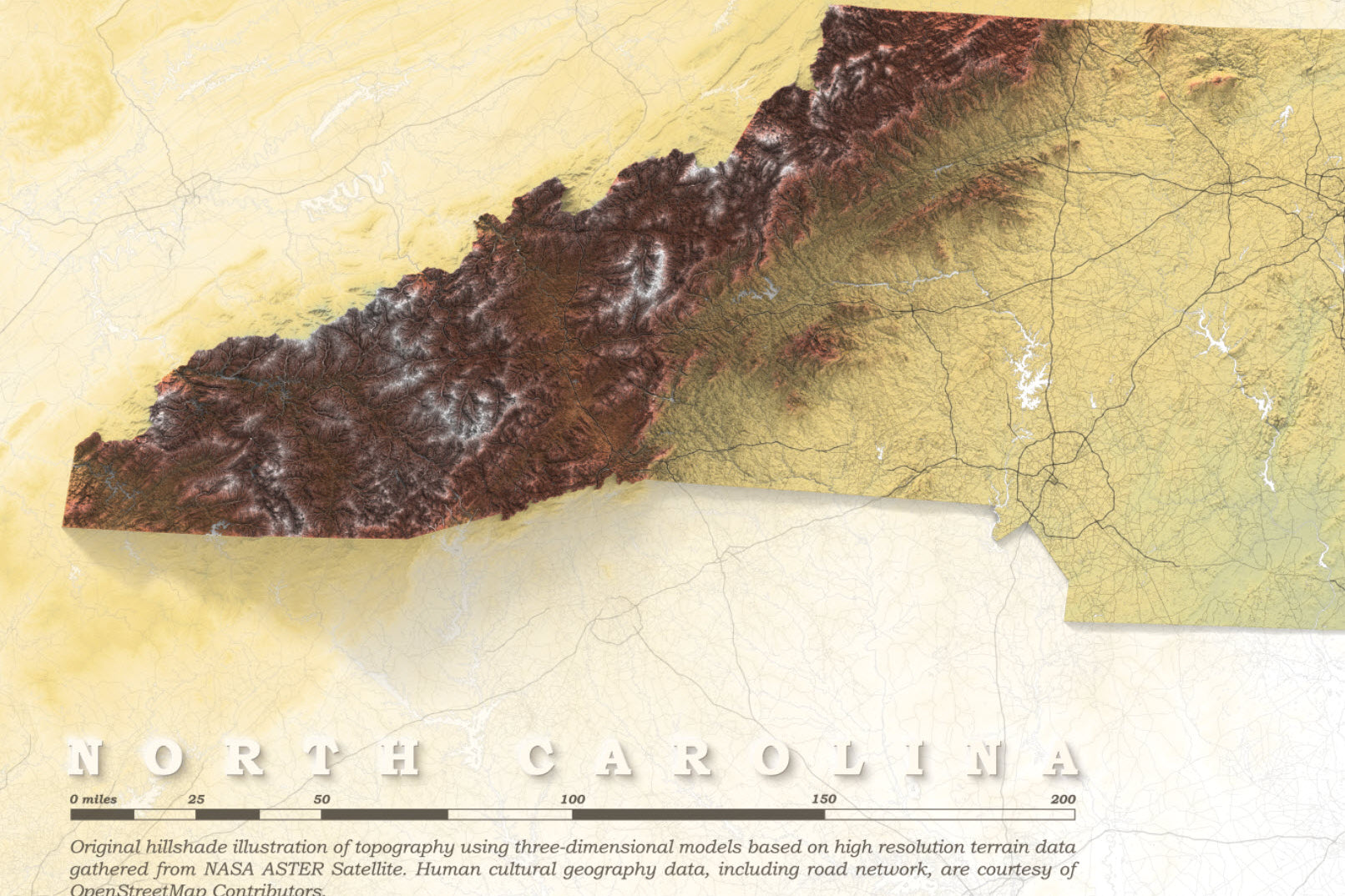
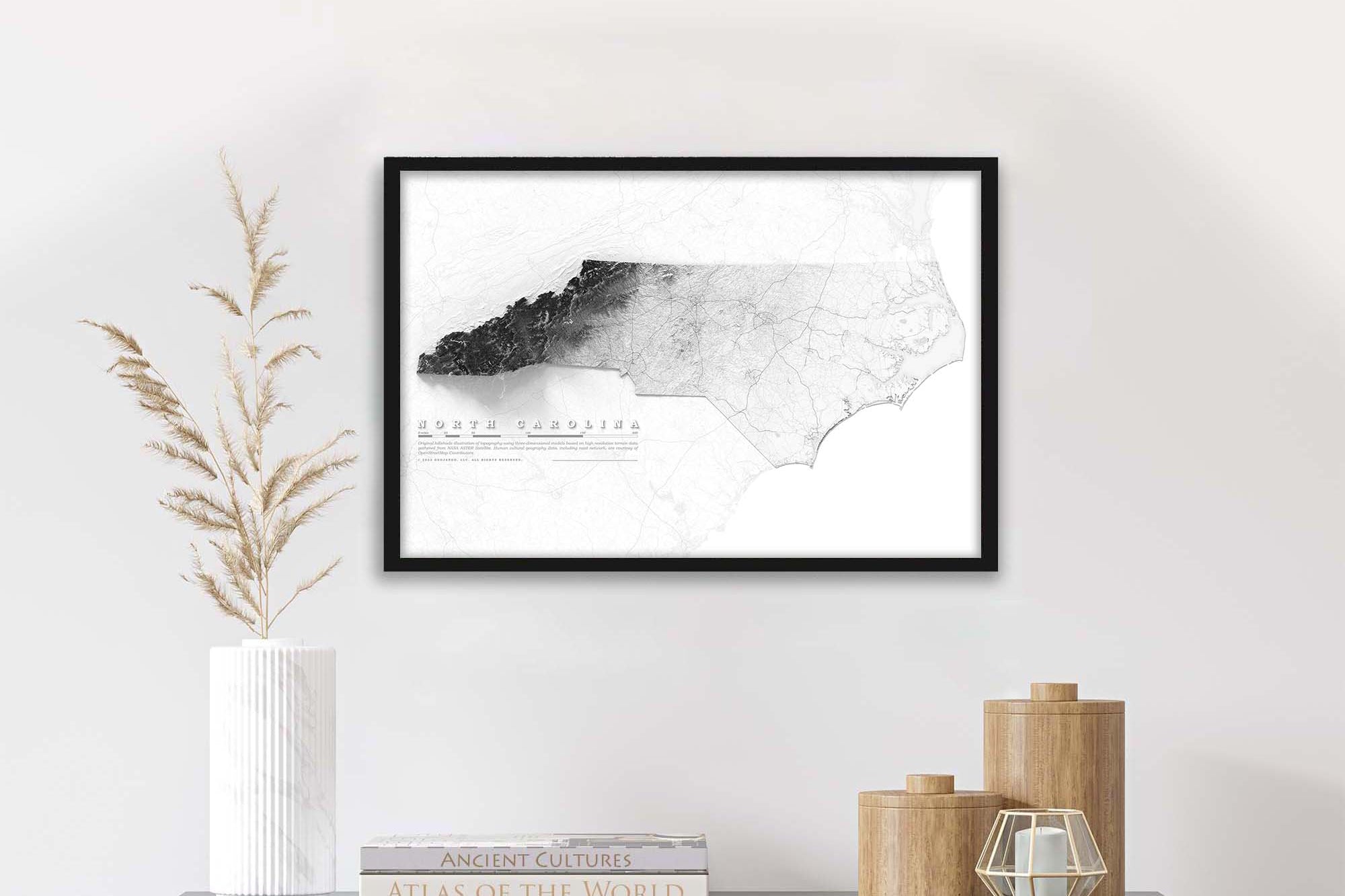
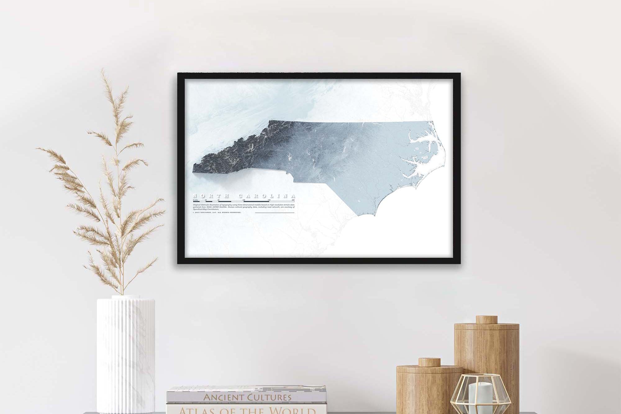
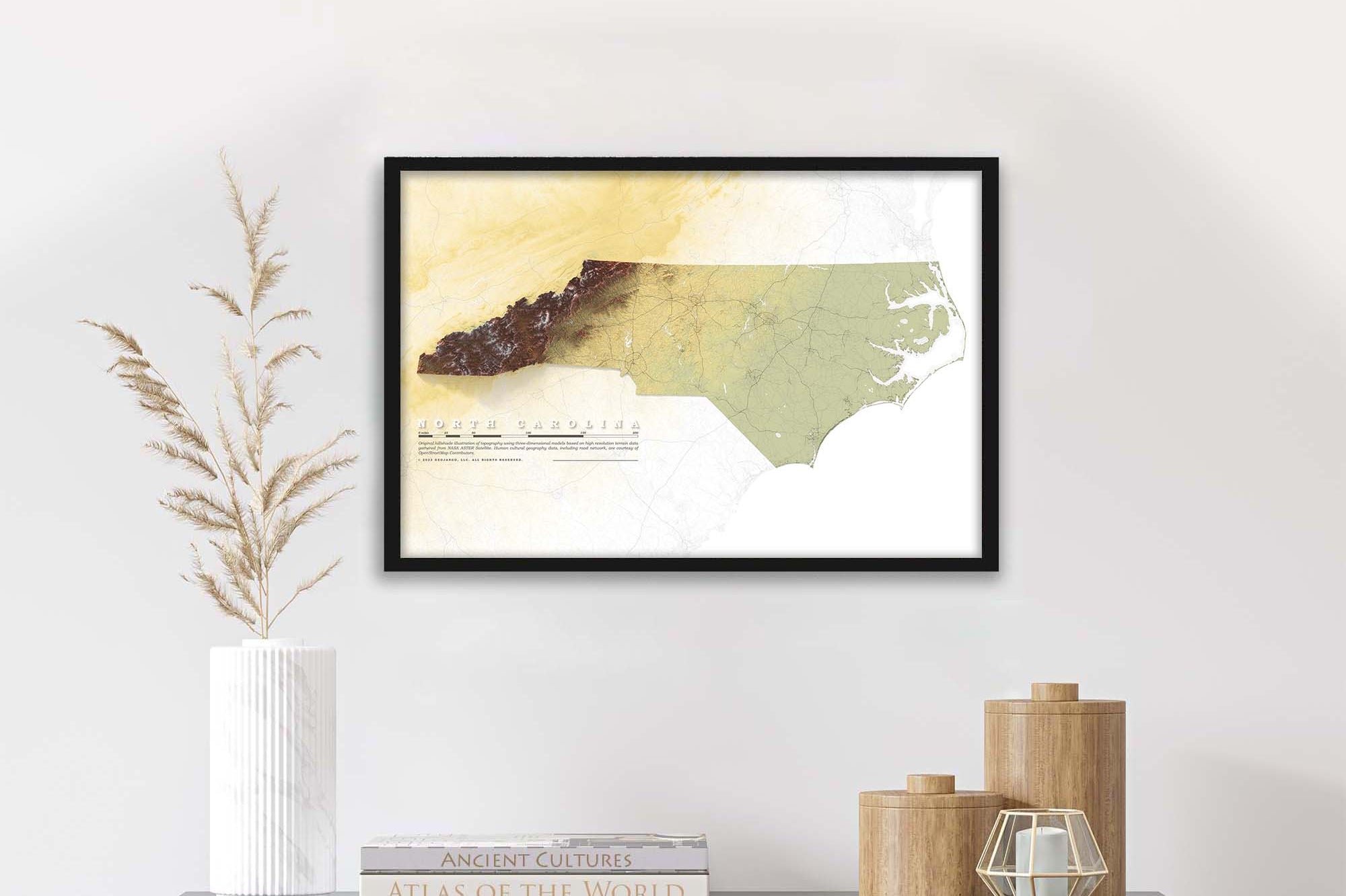
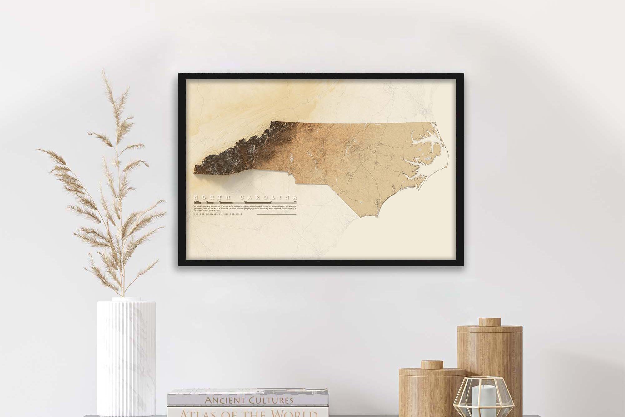
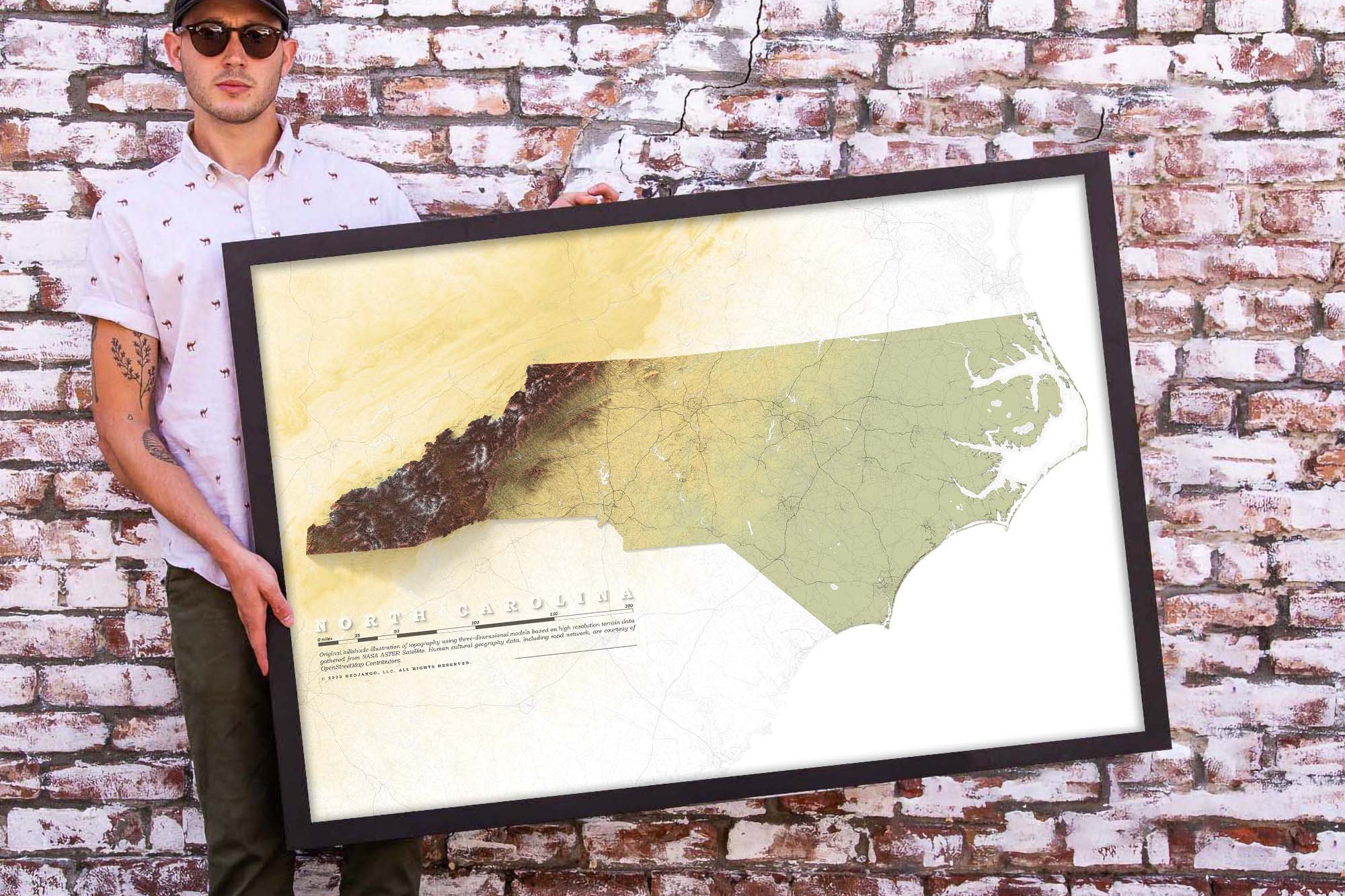
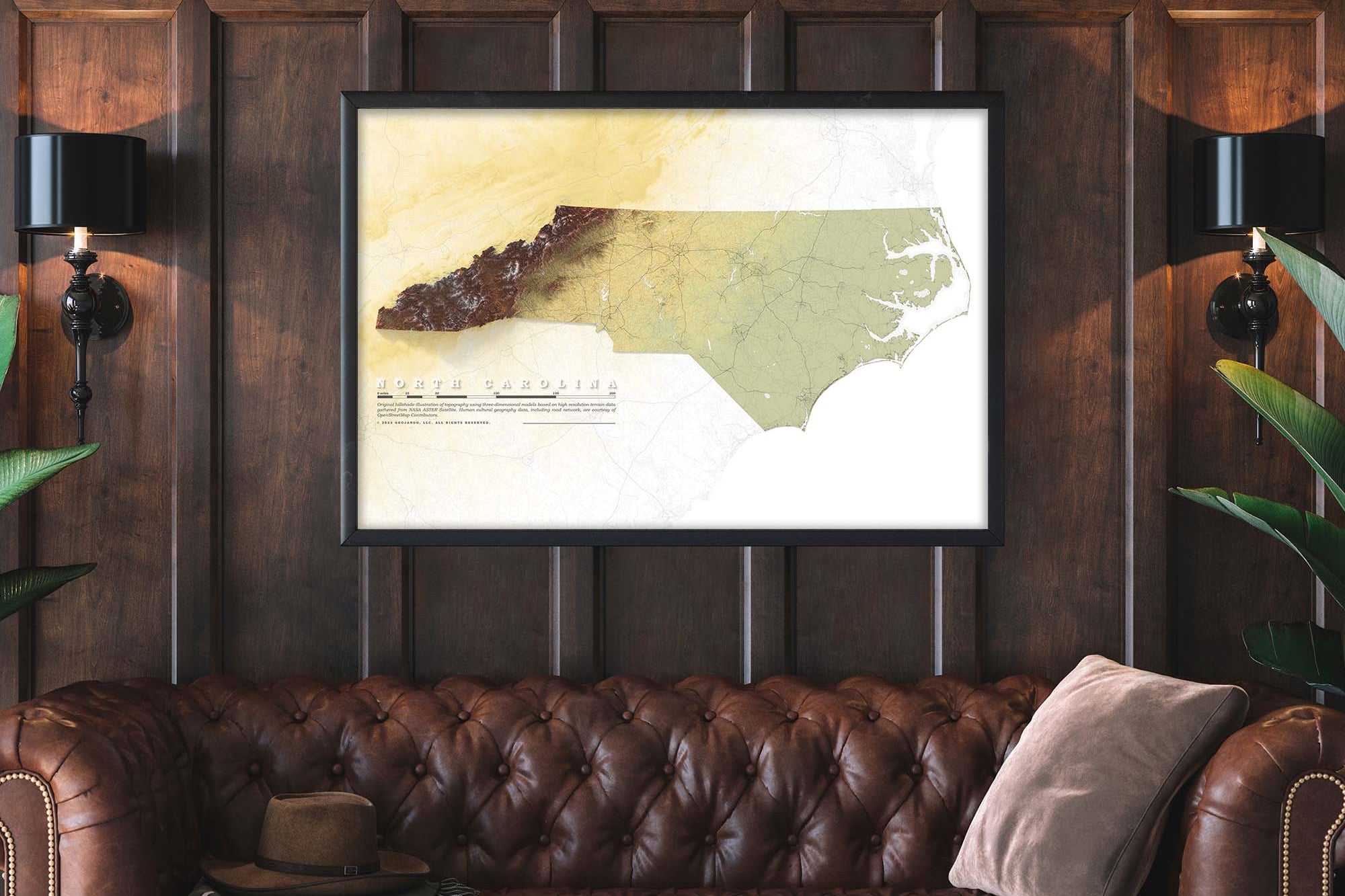
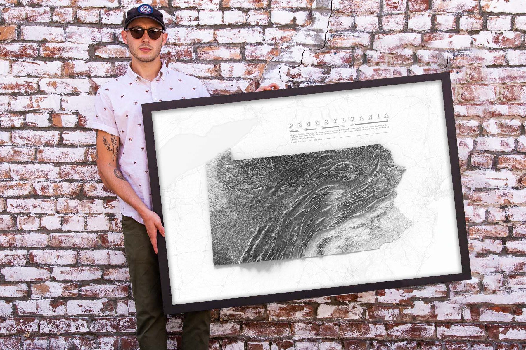
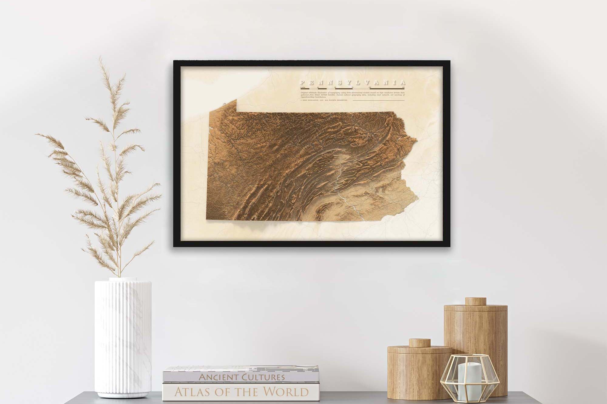
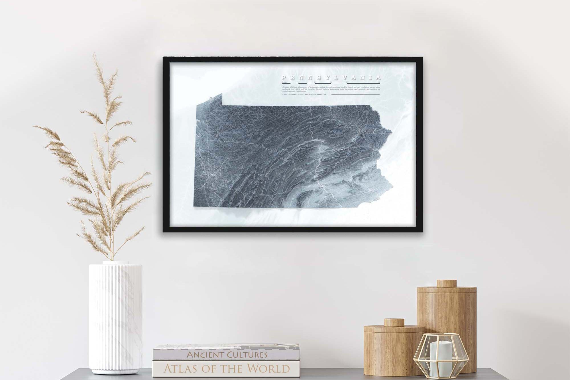
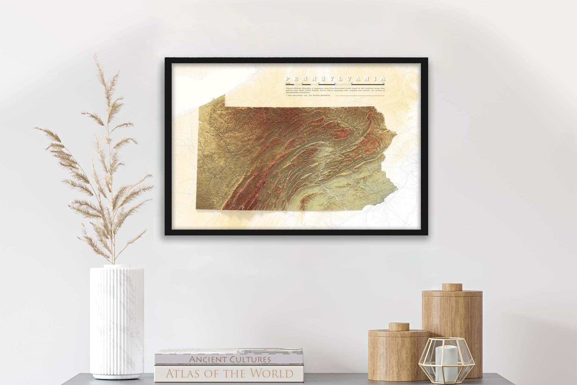
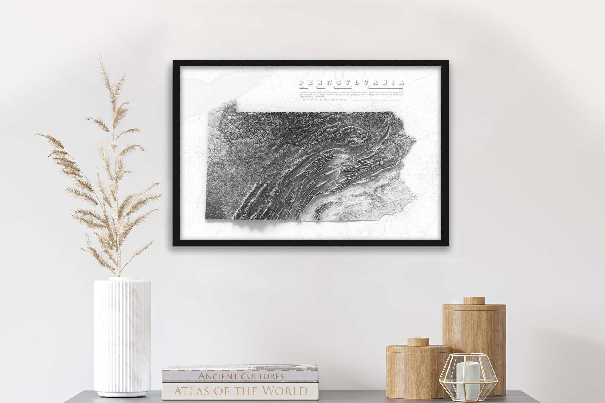
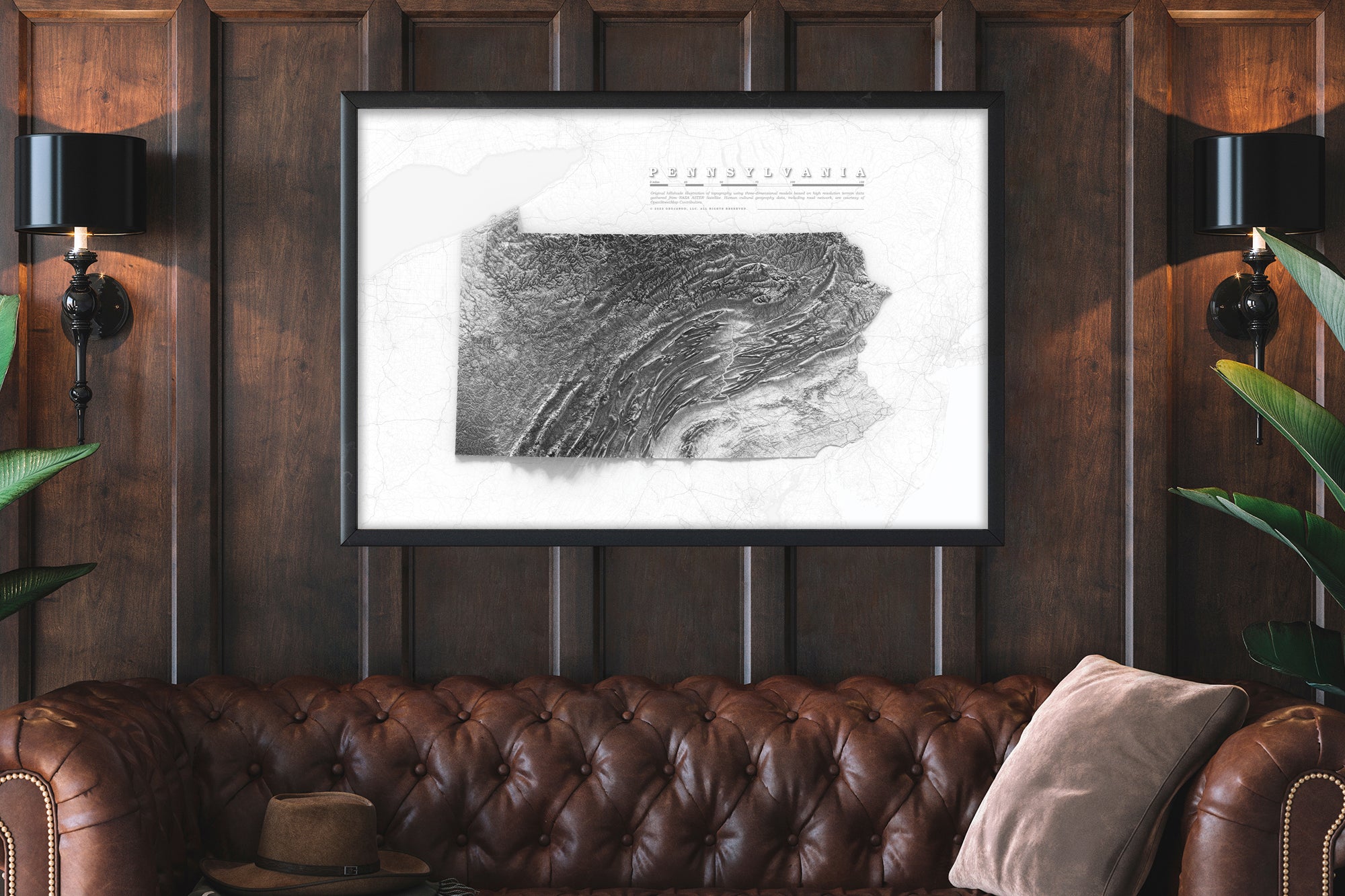
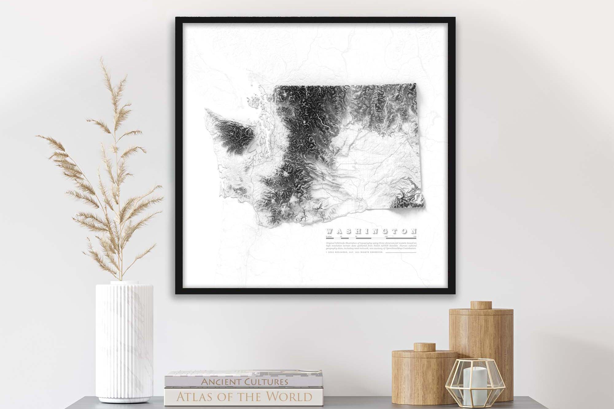
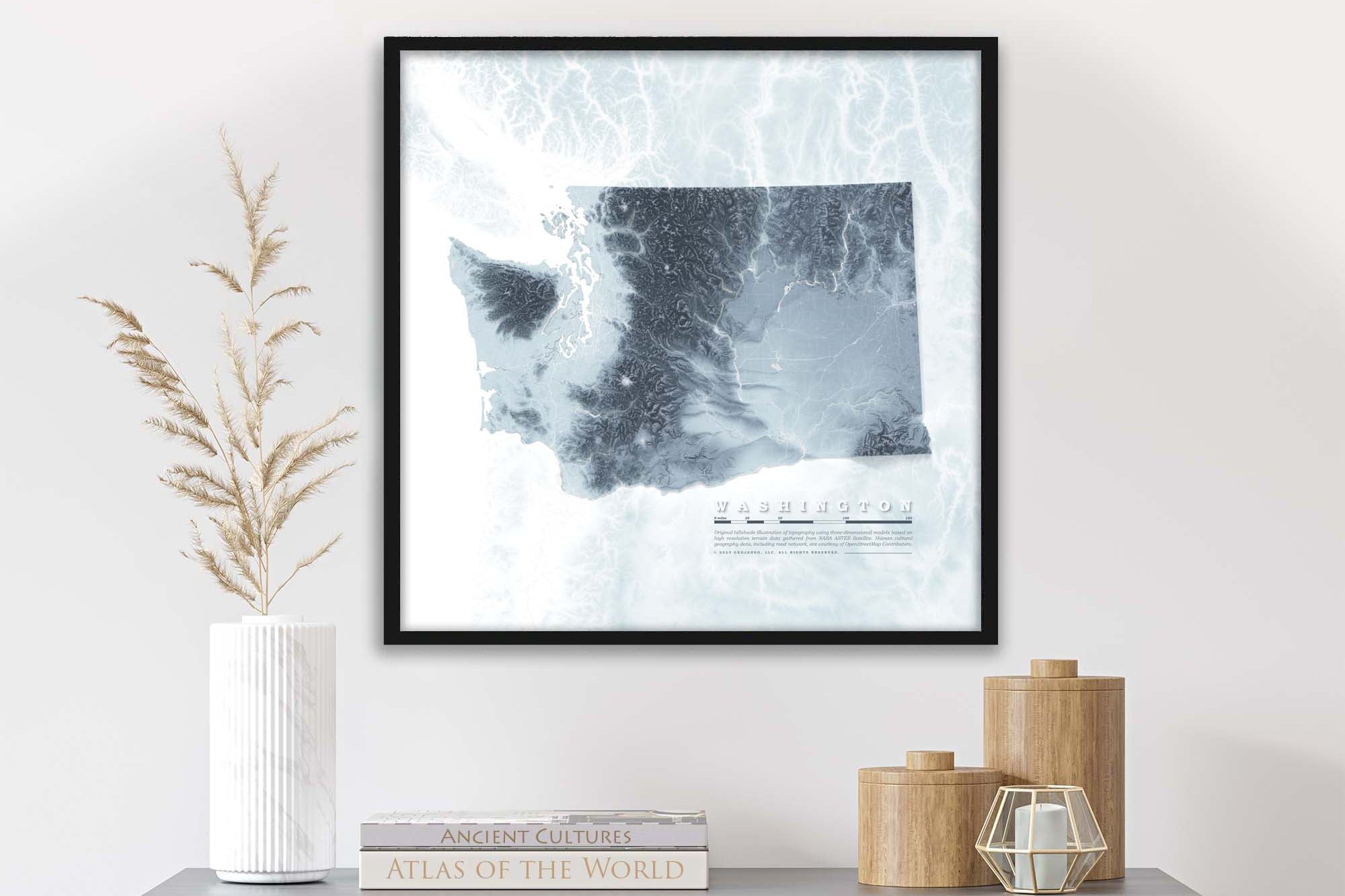
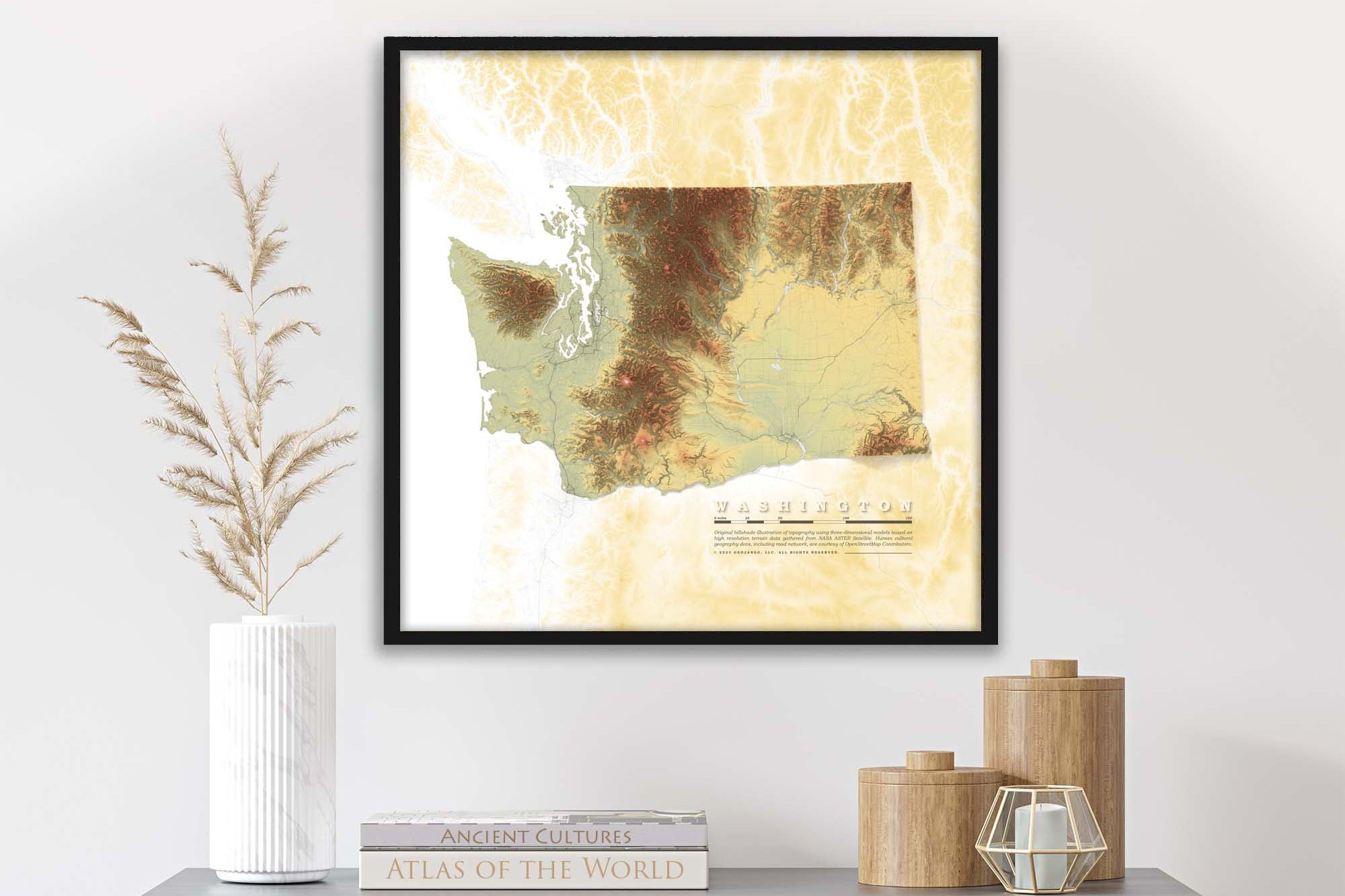
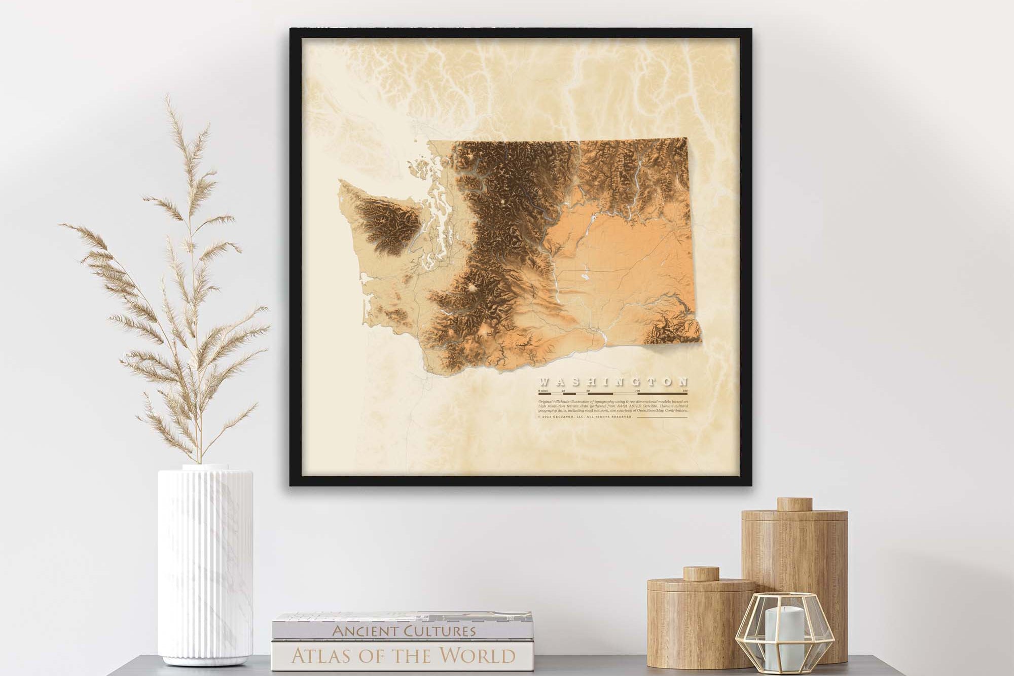
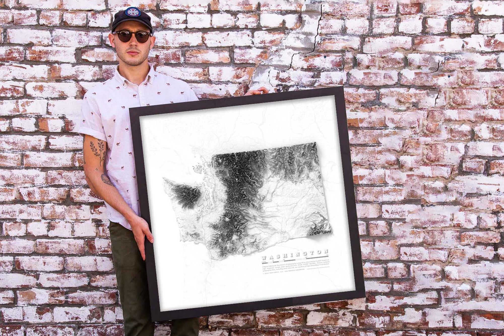
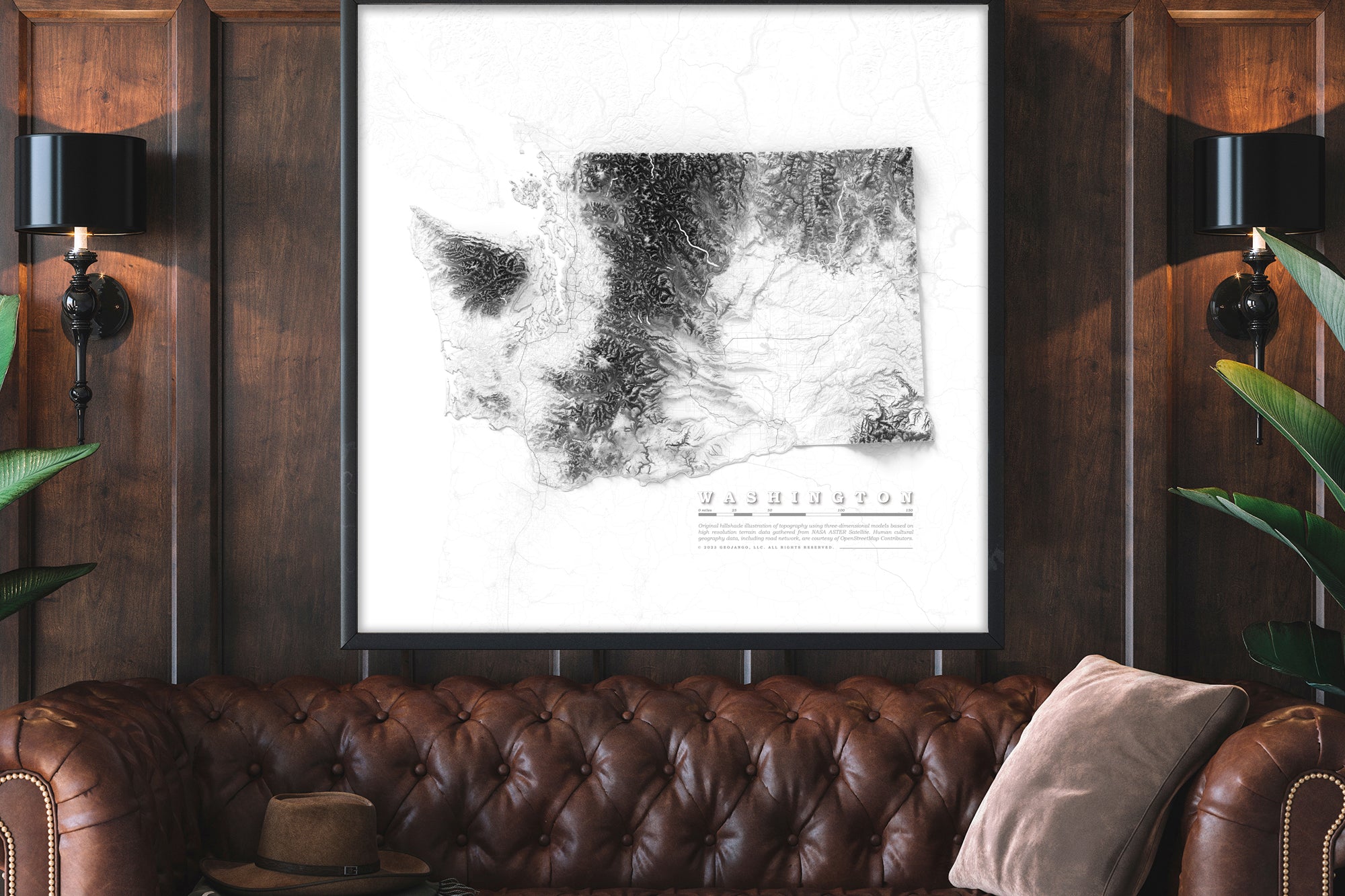
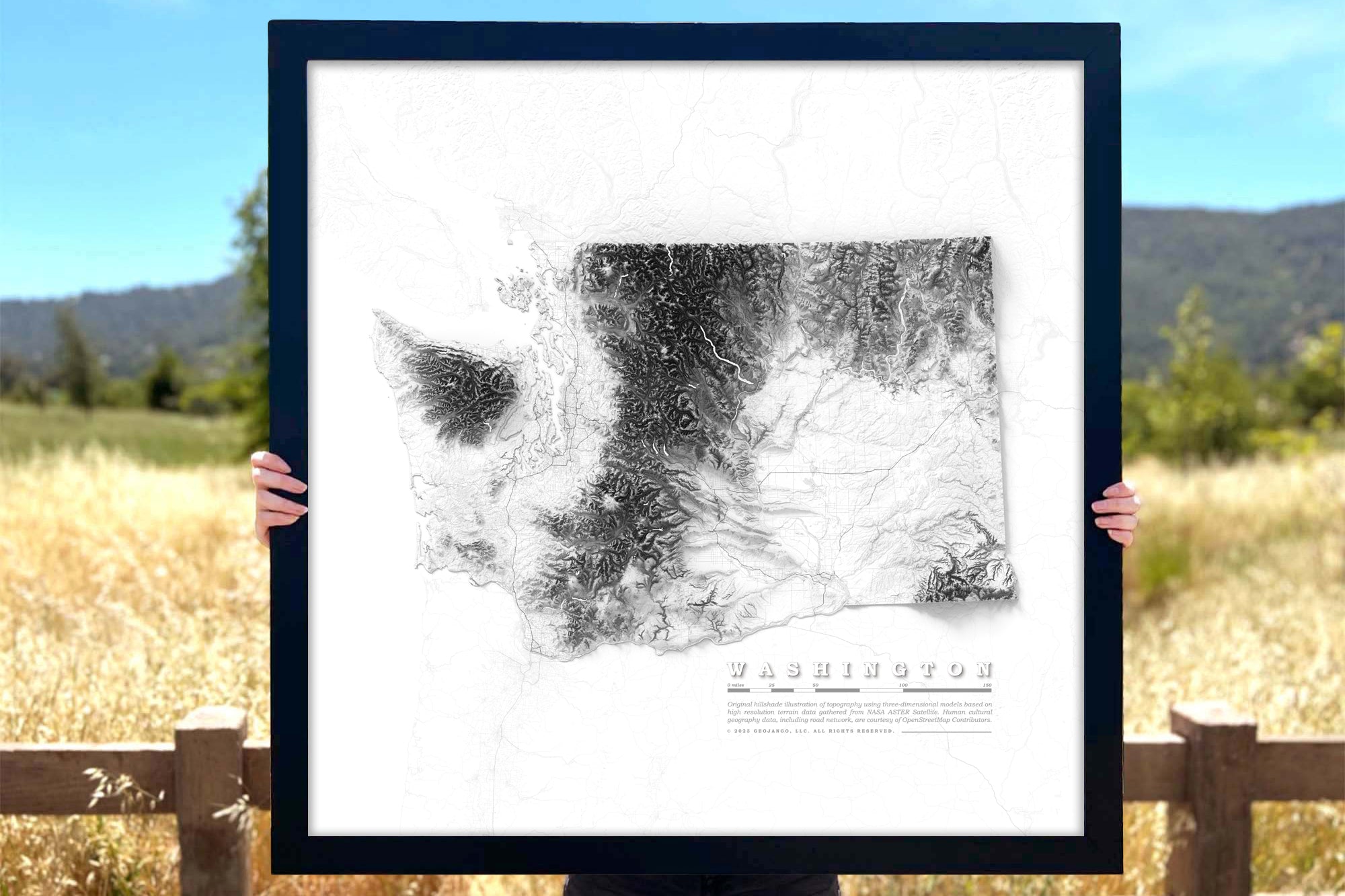
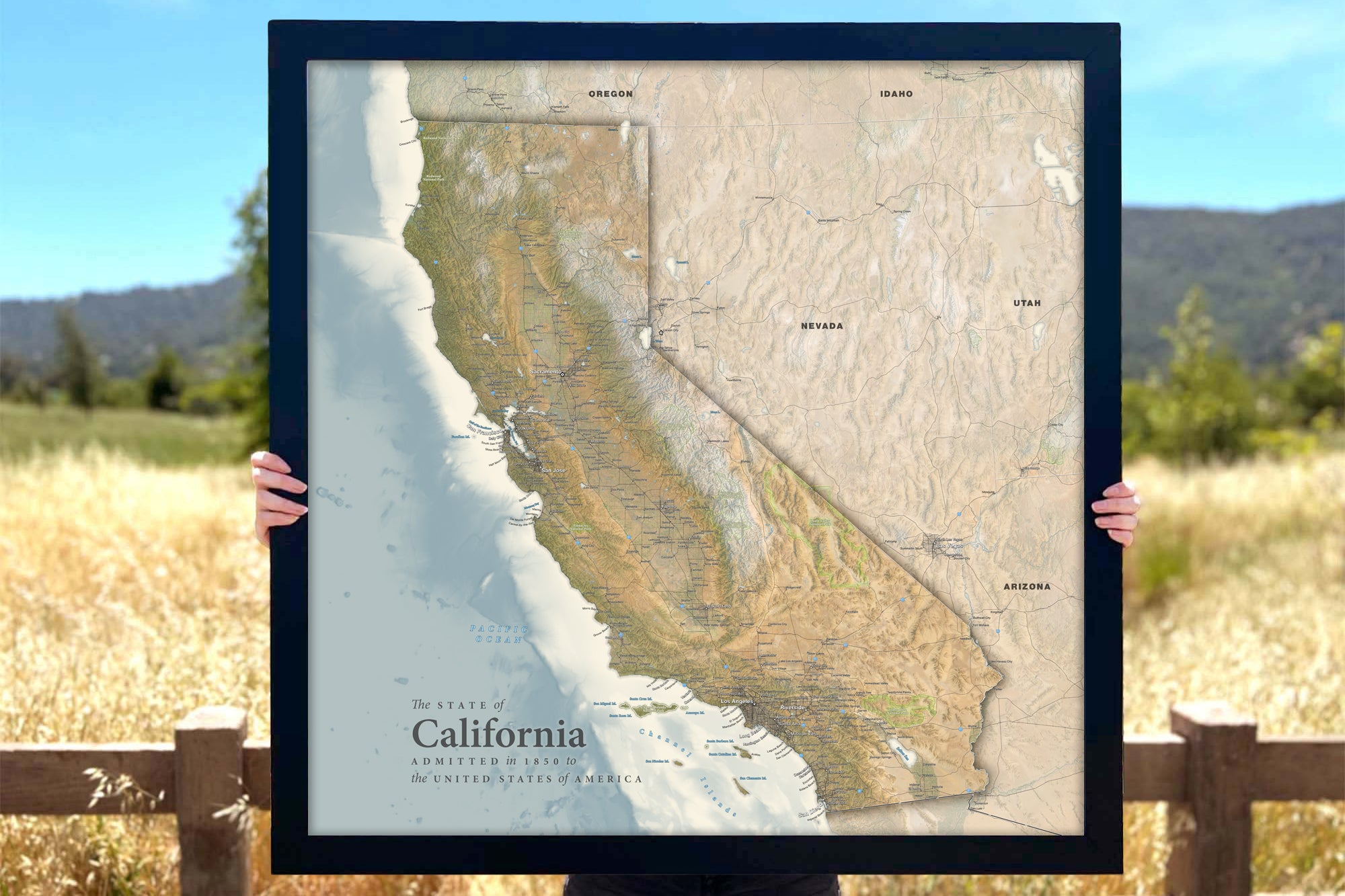
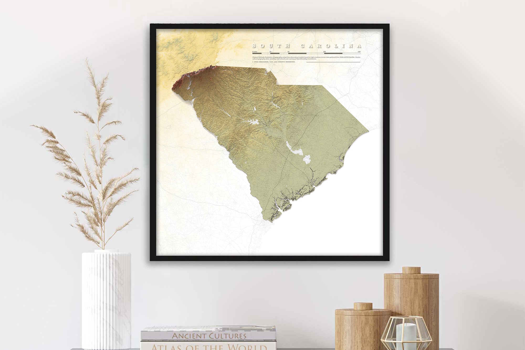
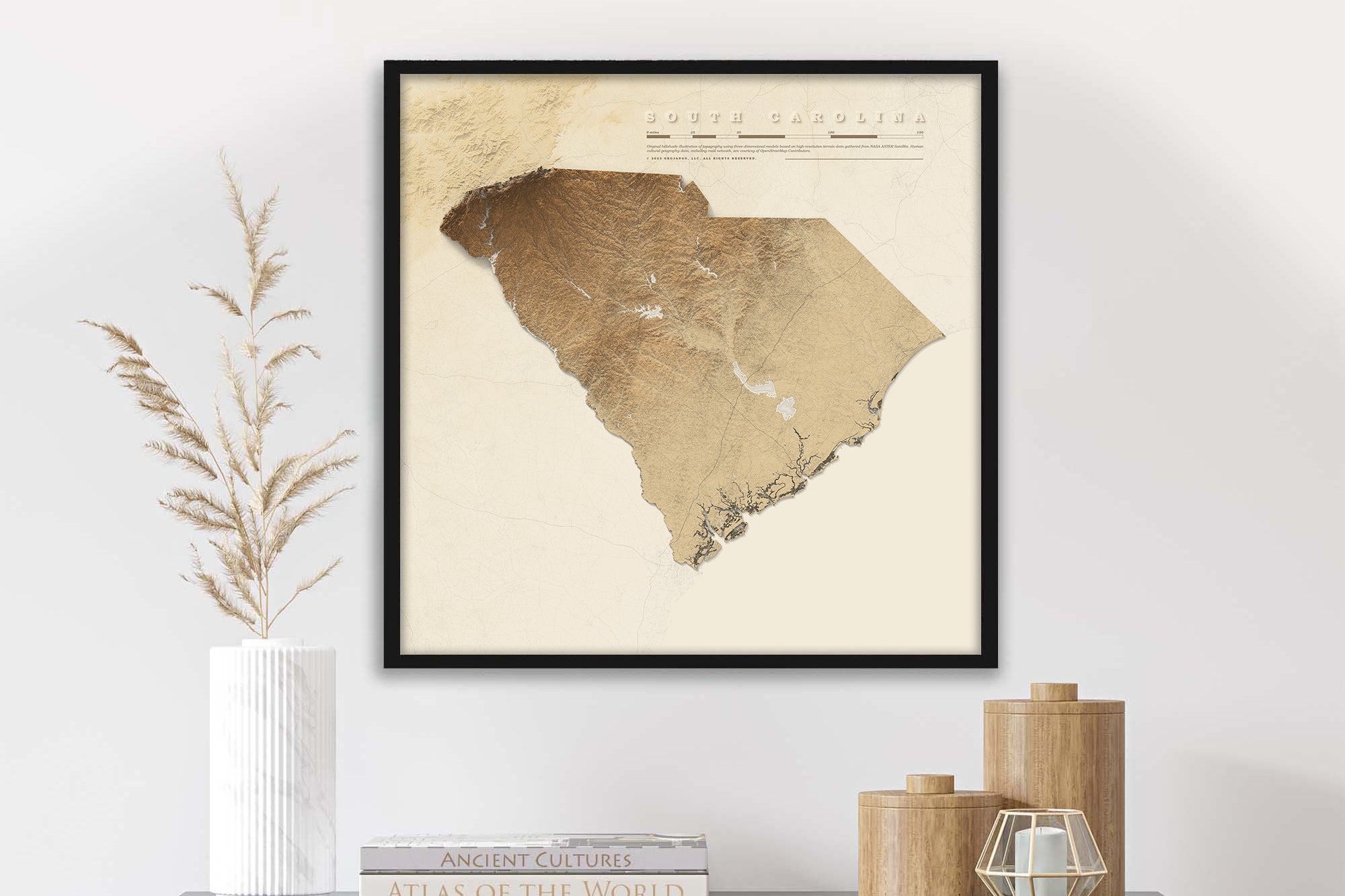
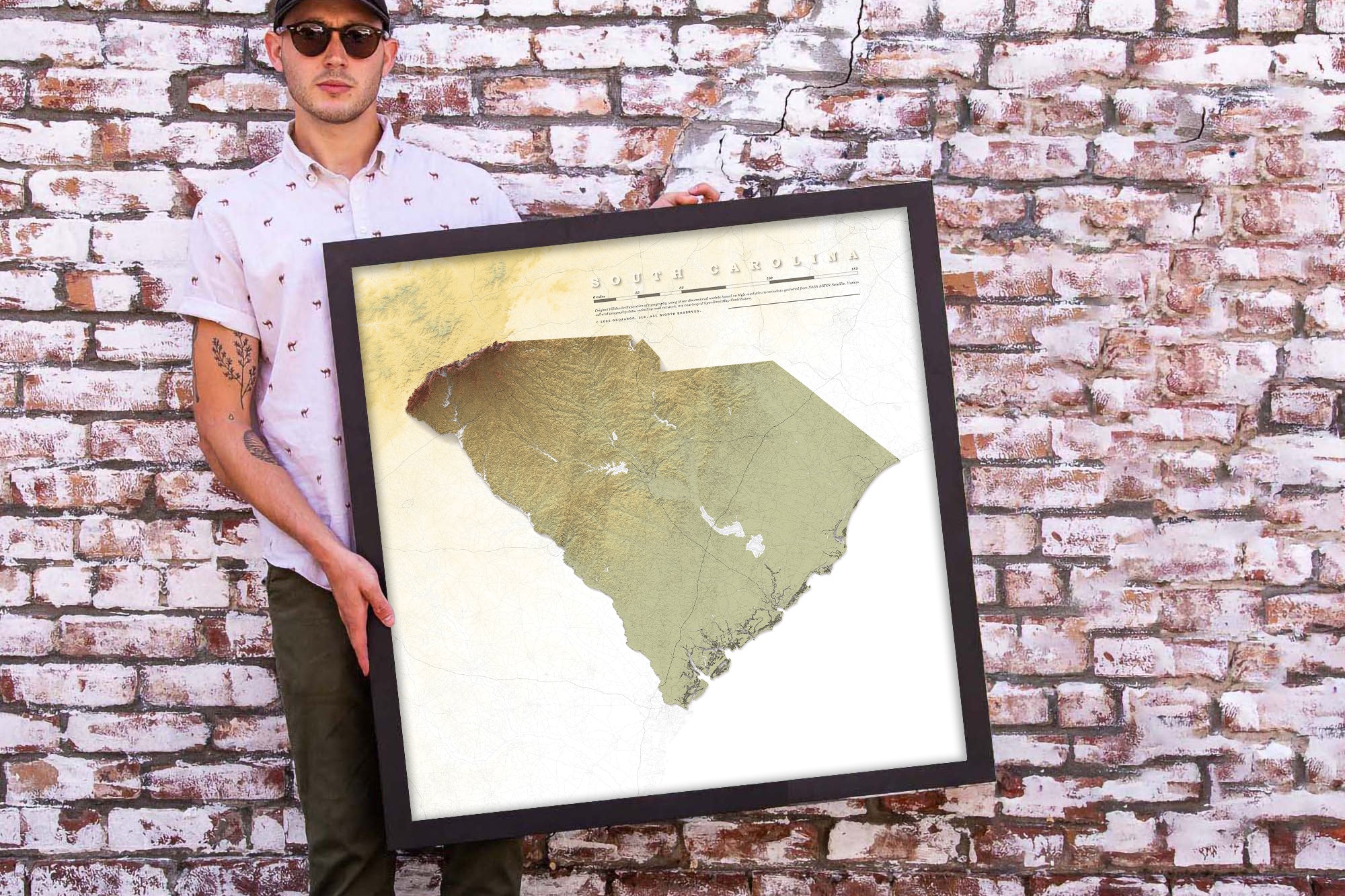
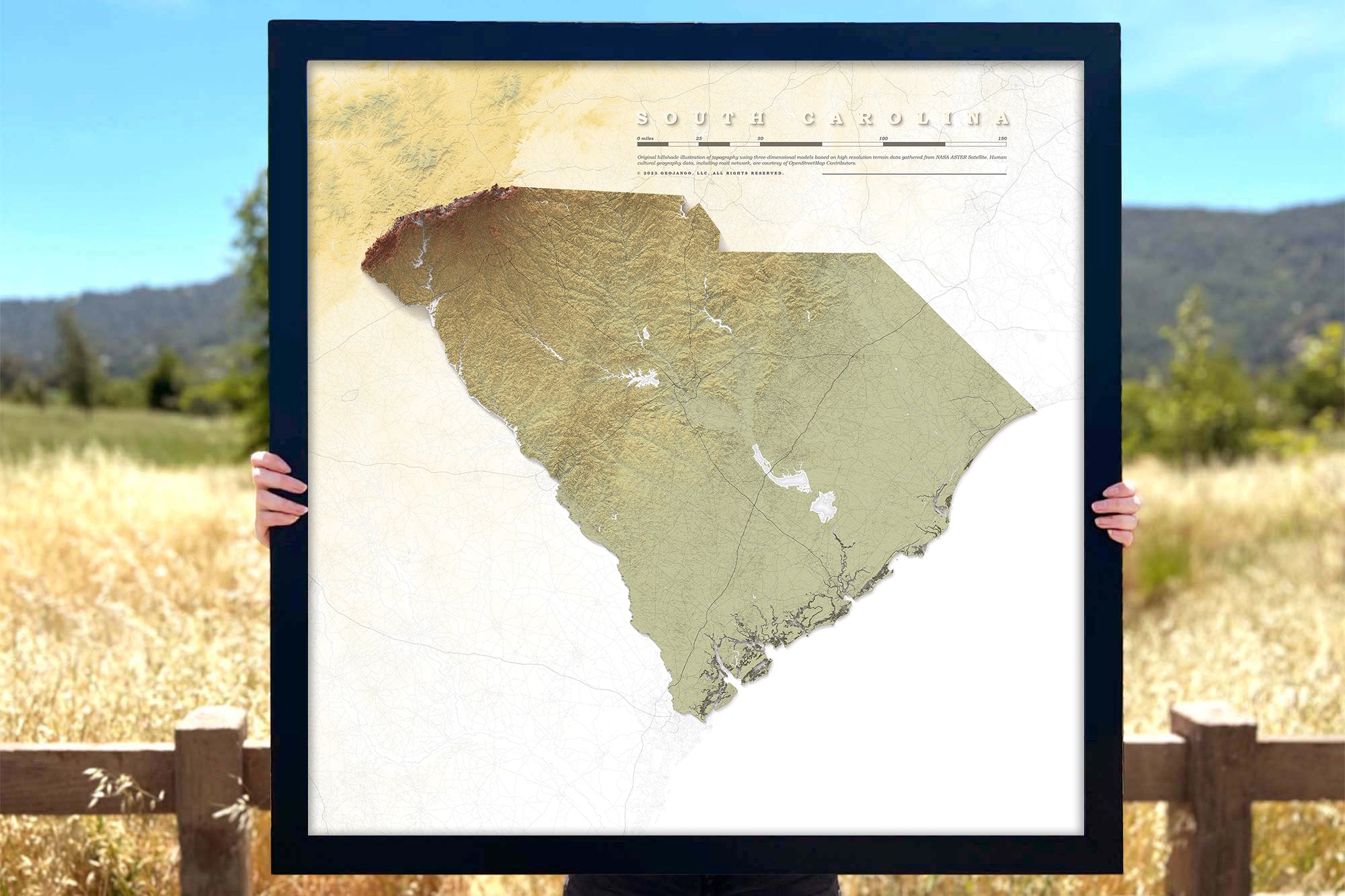
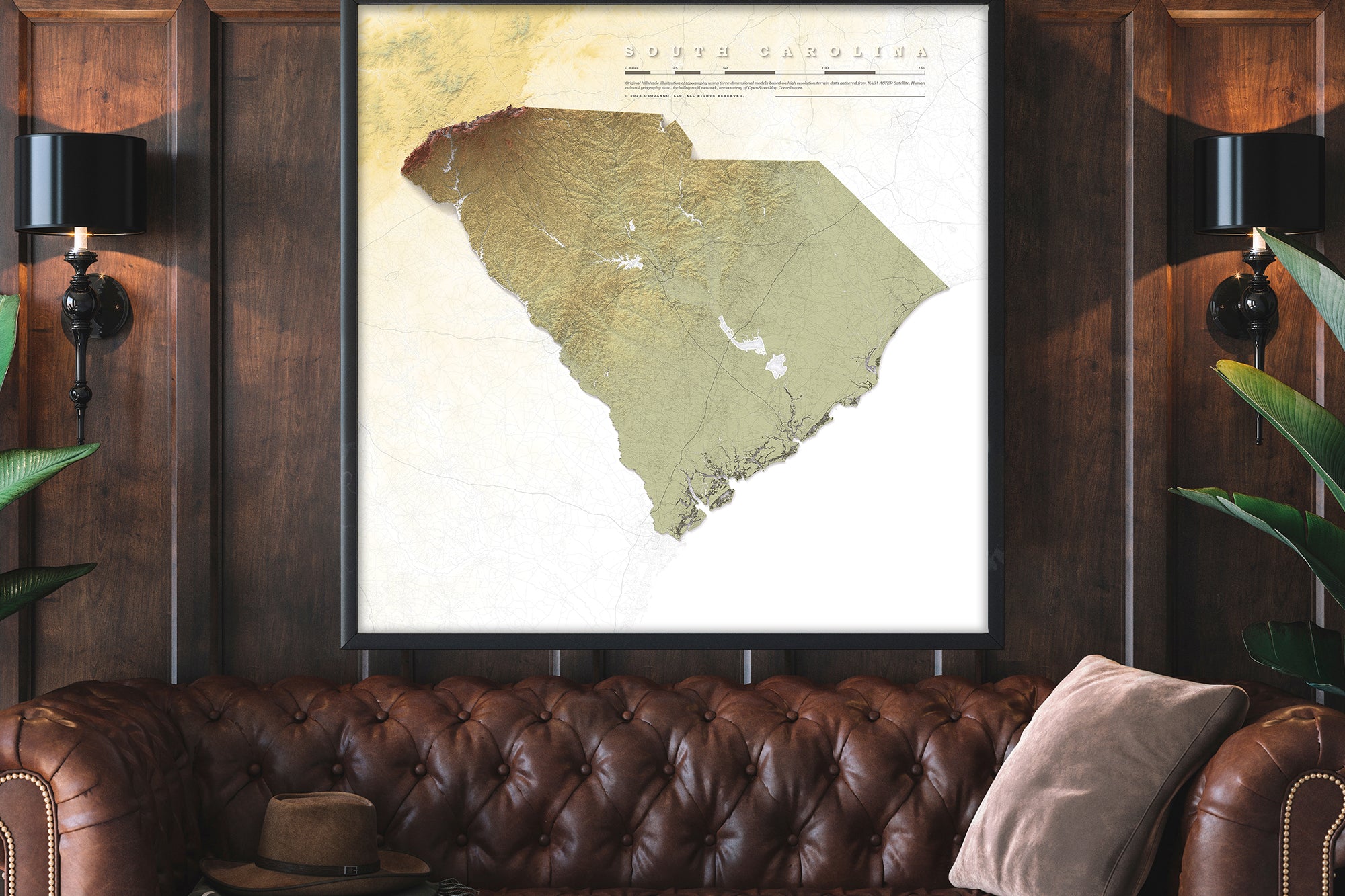
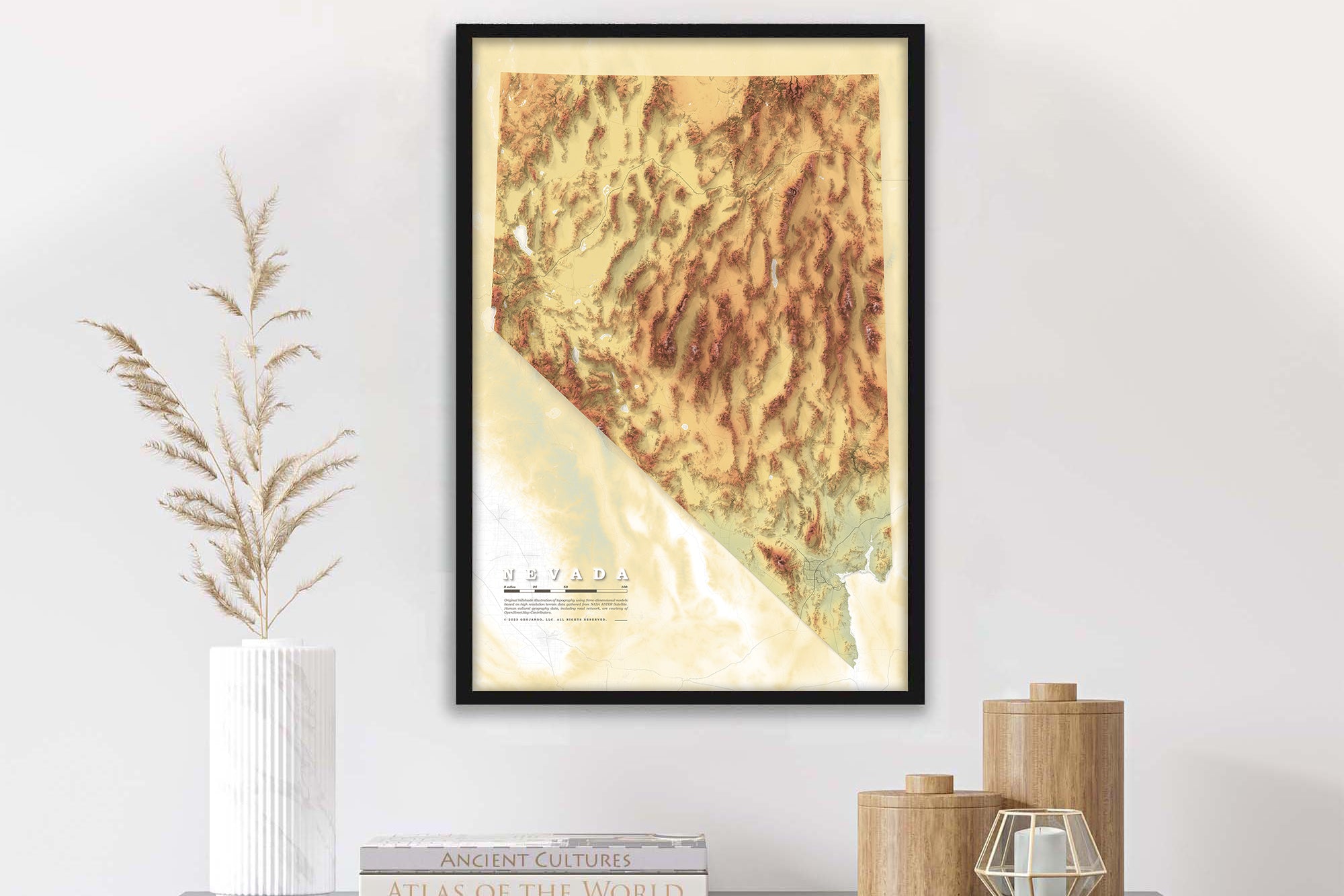
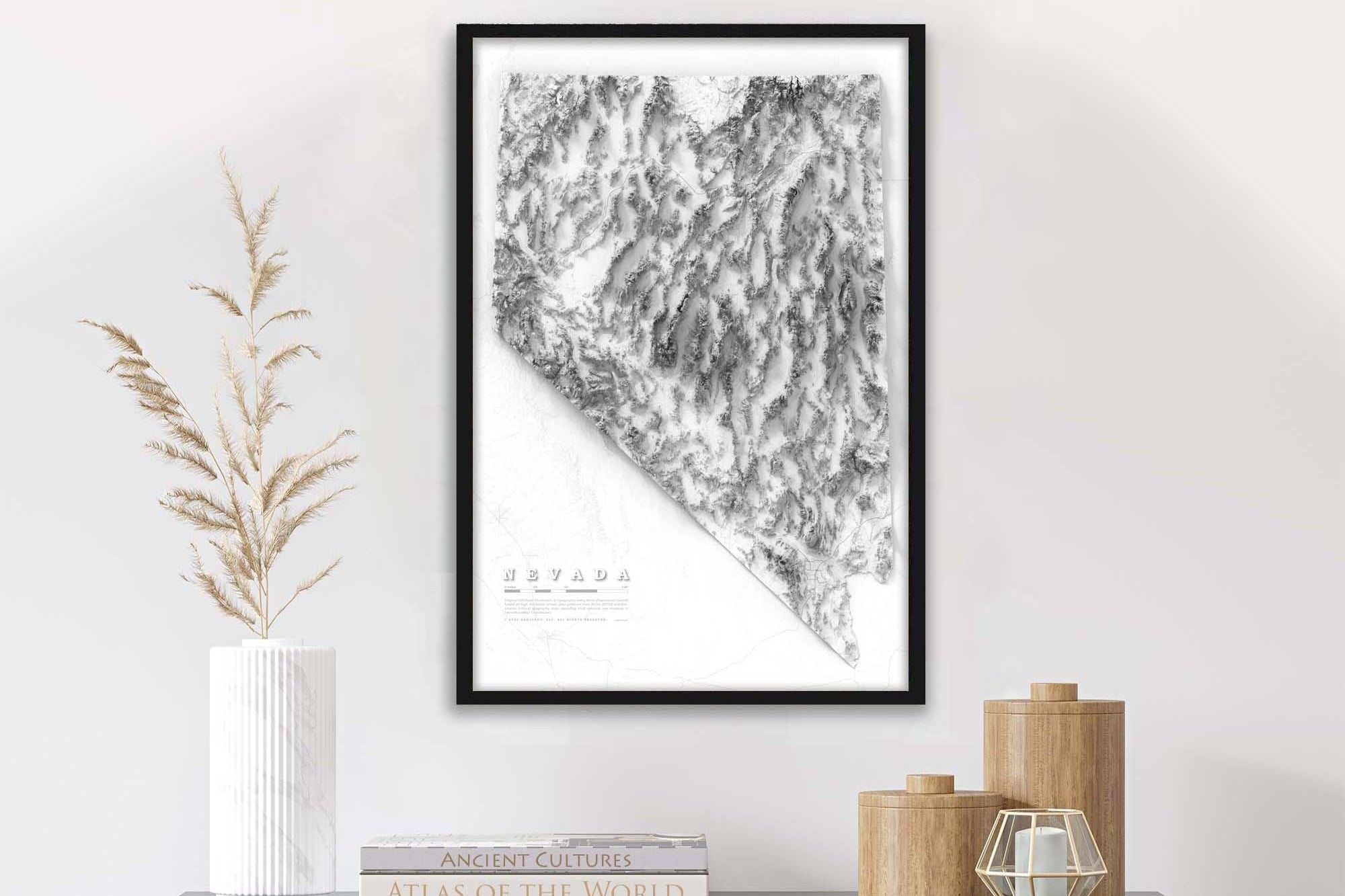
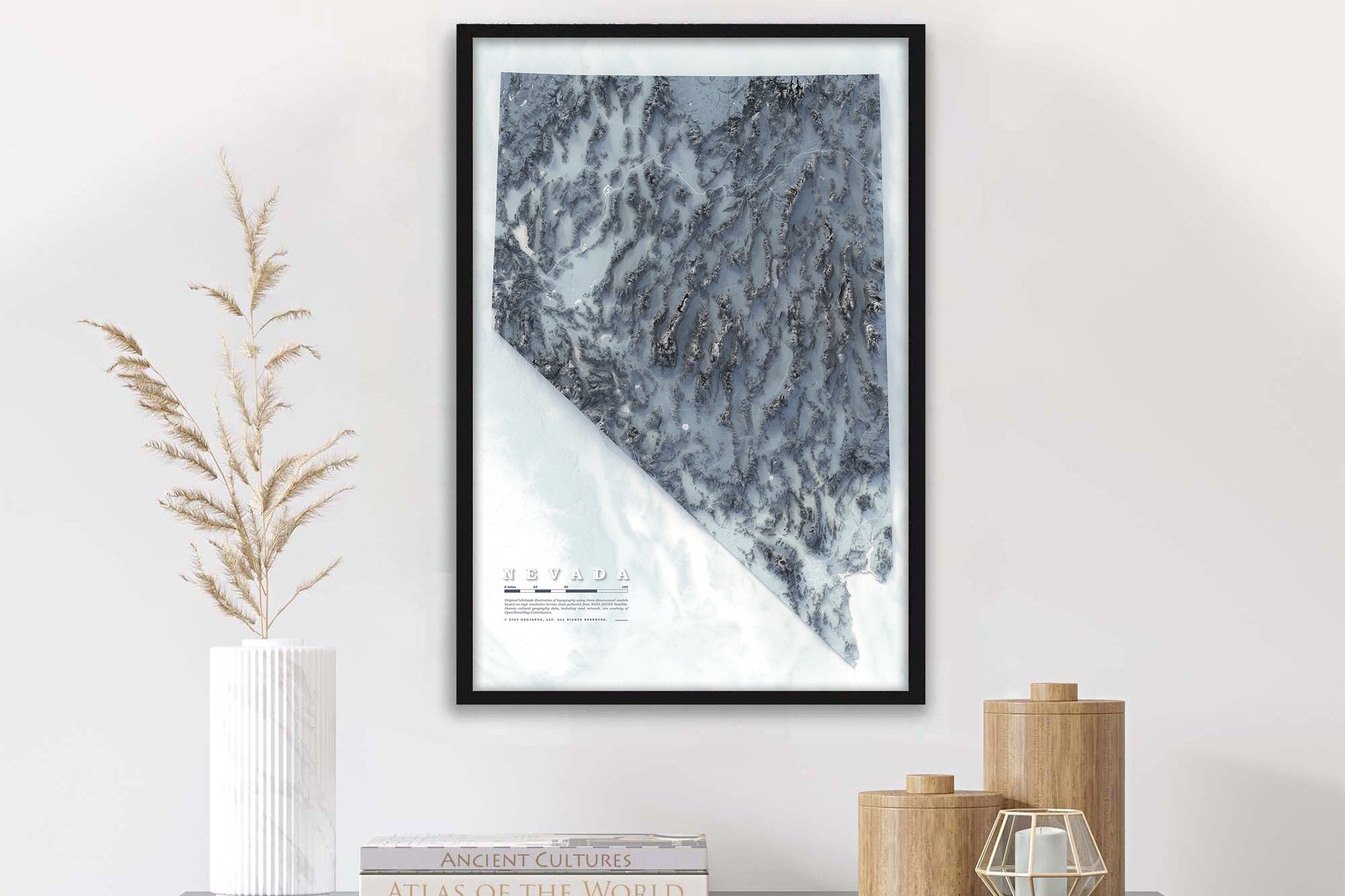
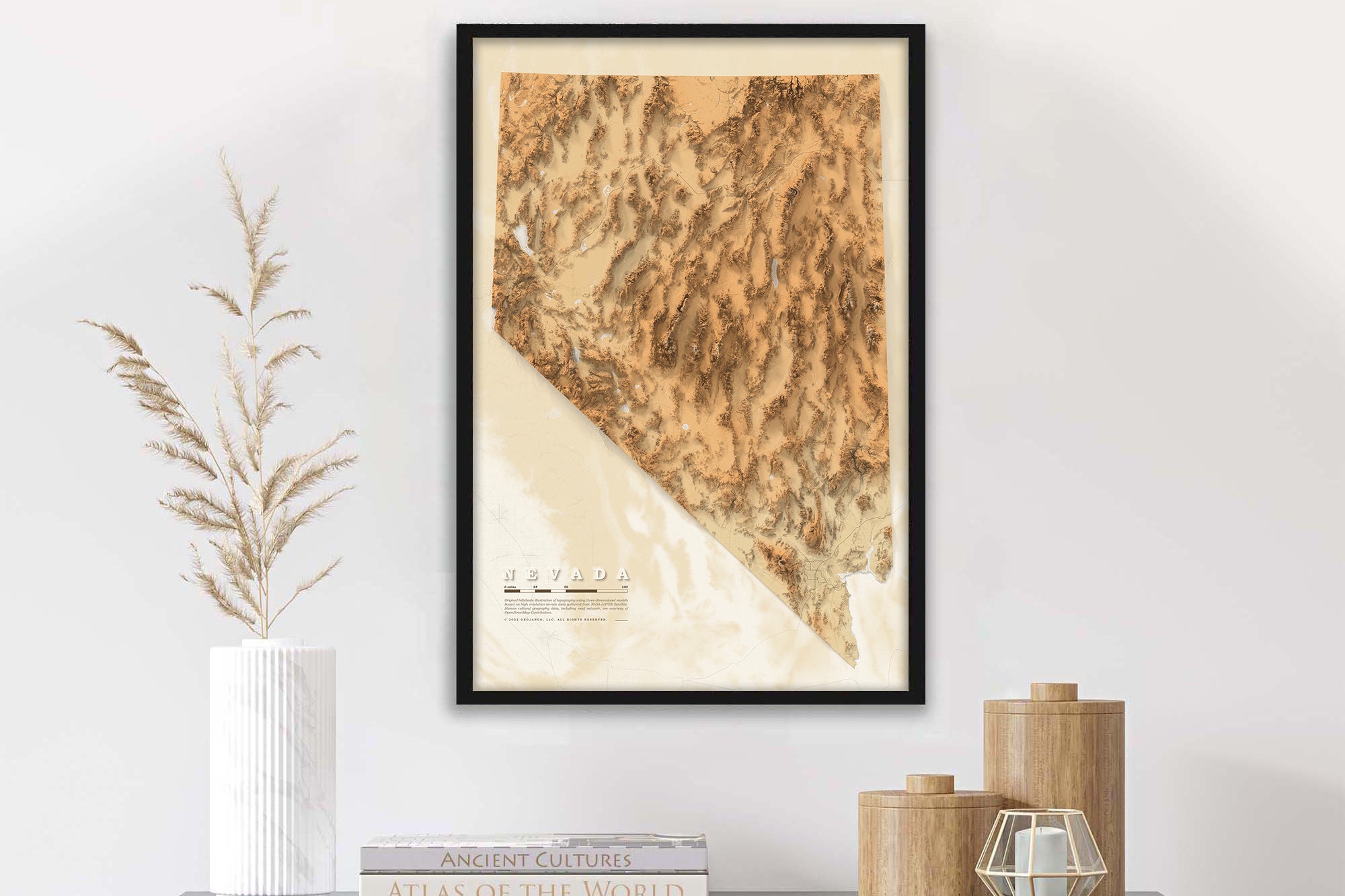
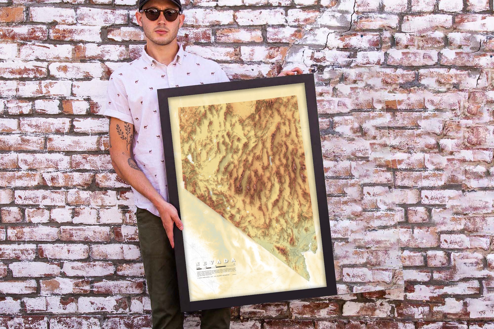
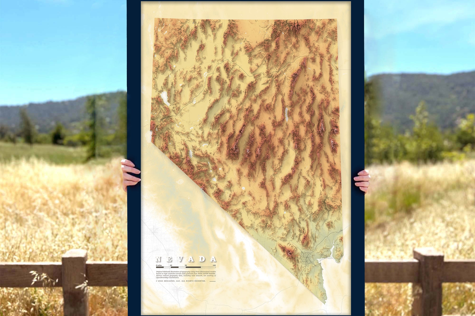
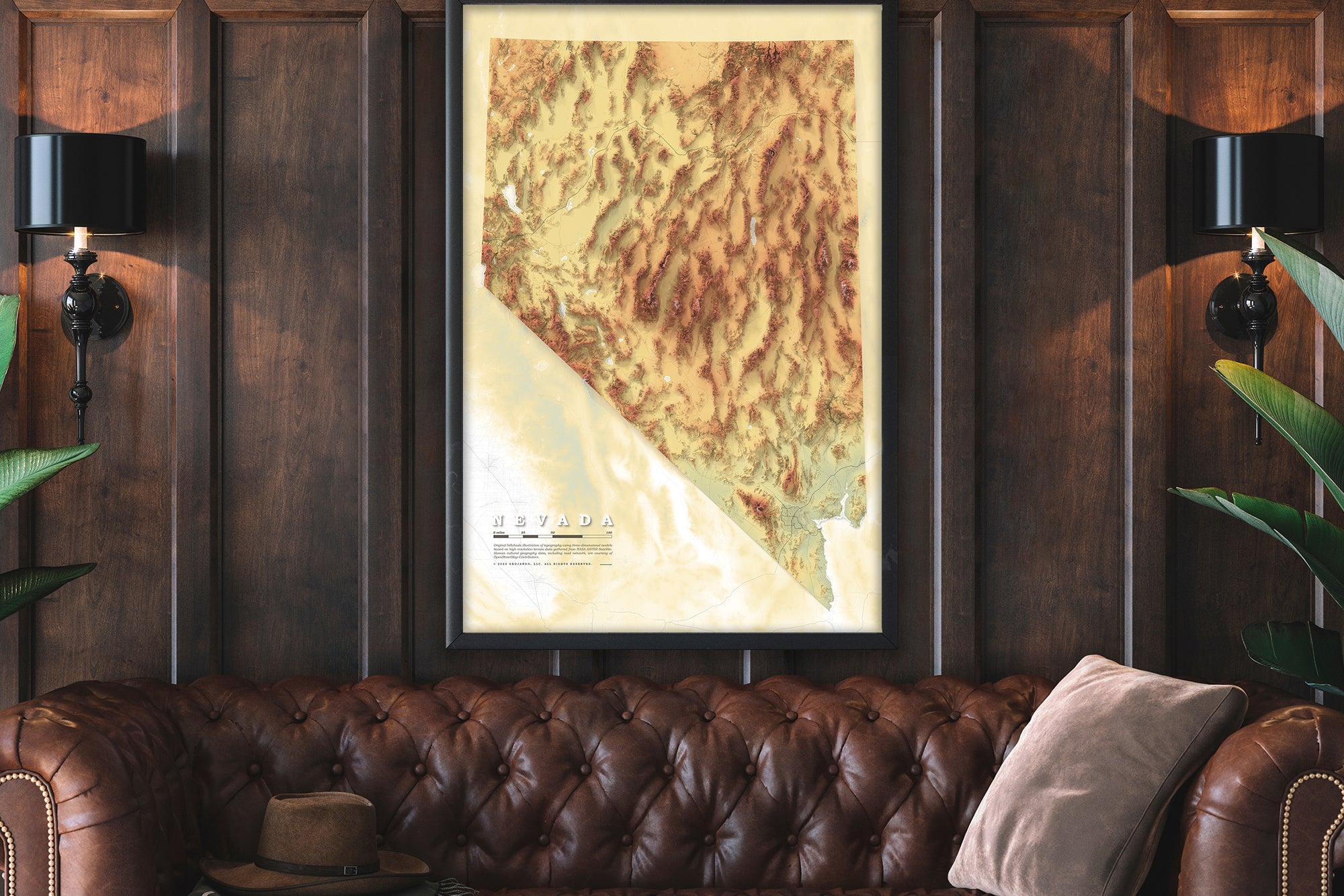
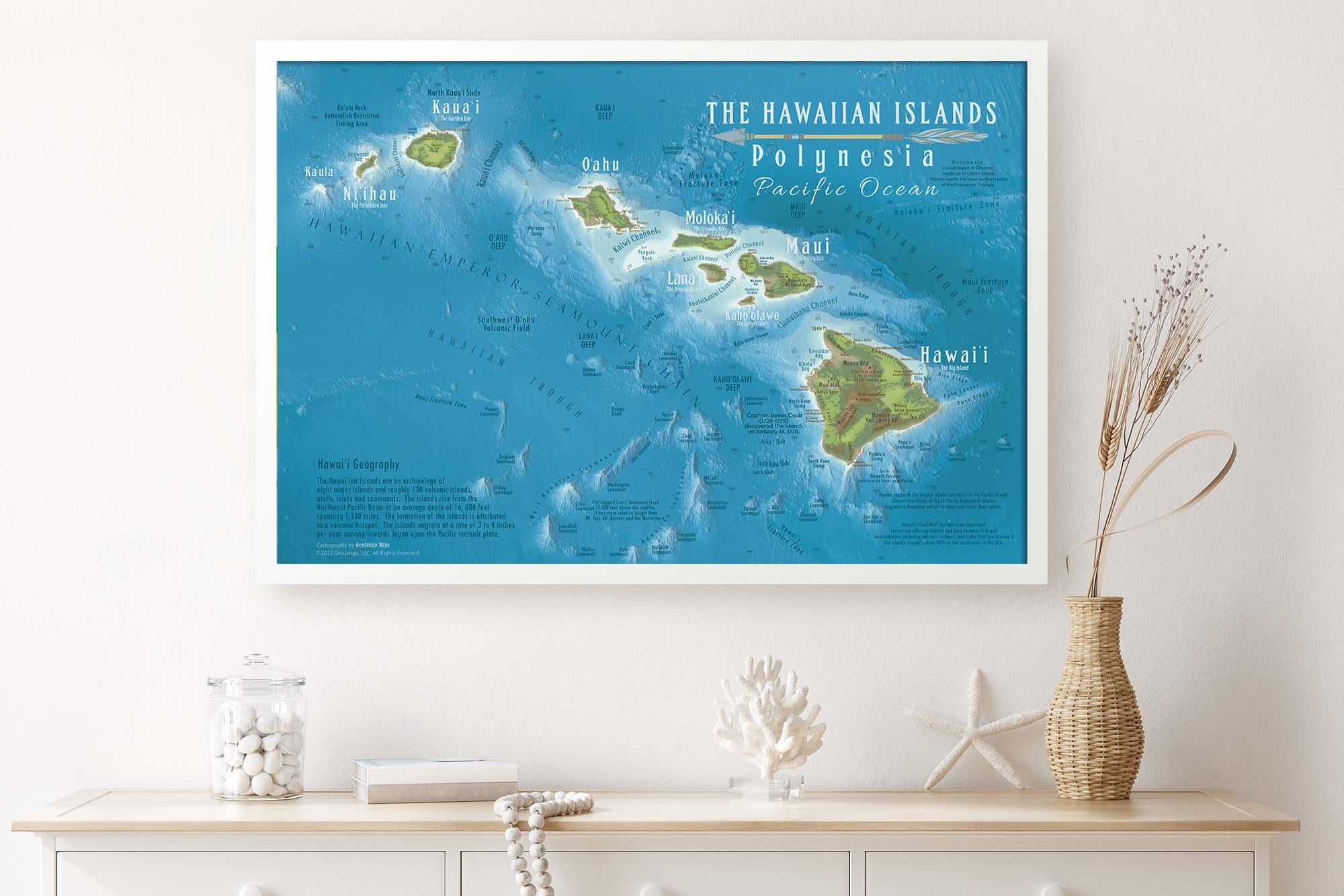
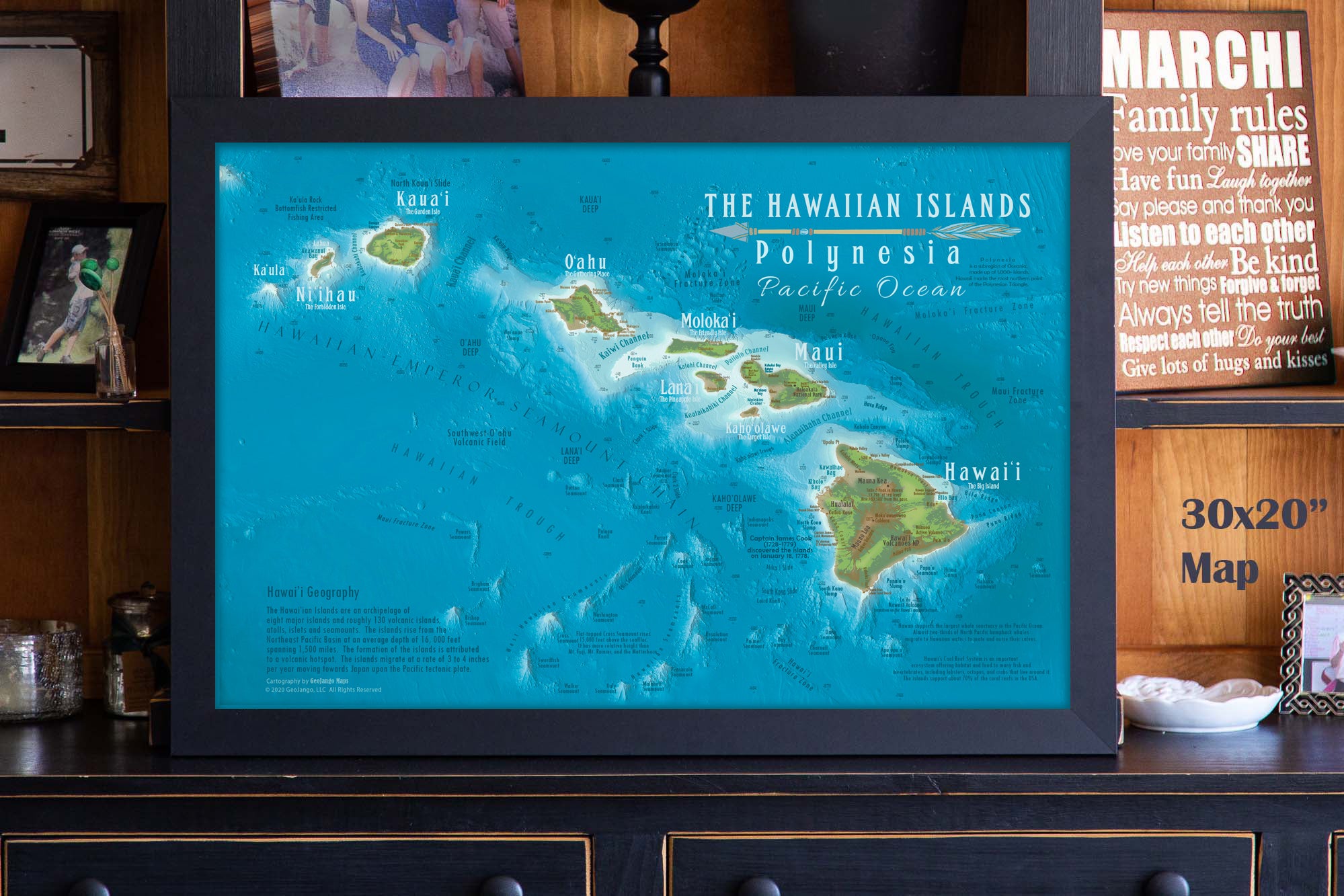
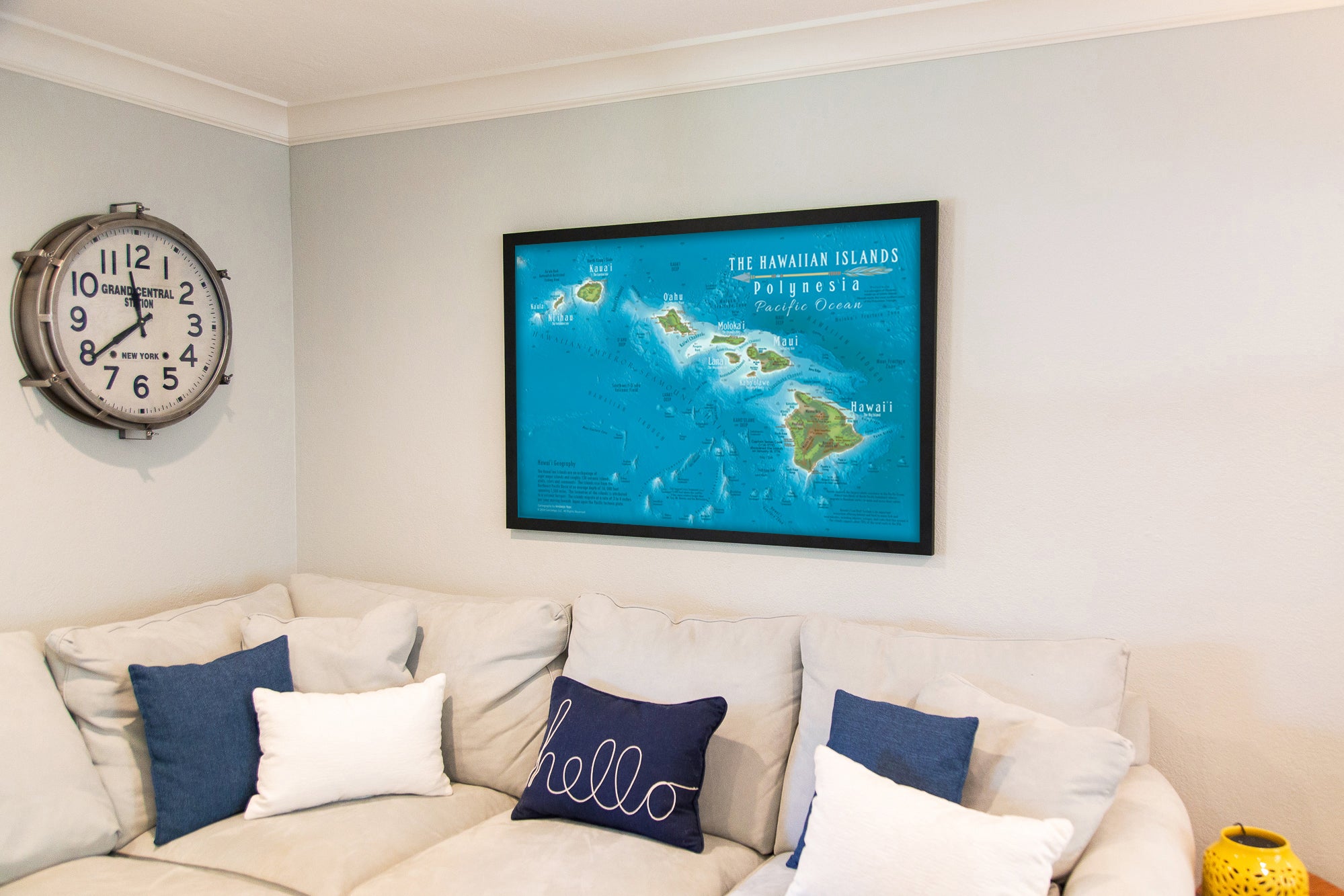
Our State Map Collection highlights the unique landscape and geography of each state. We moldeled the intricate coastlines and elevation of each state. We applied a shaded relief technique to view each state's unique form. Perfect for Wall Art!
Beautiful State Wall Maps
USA State Maps
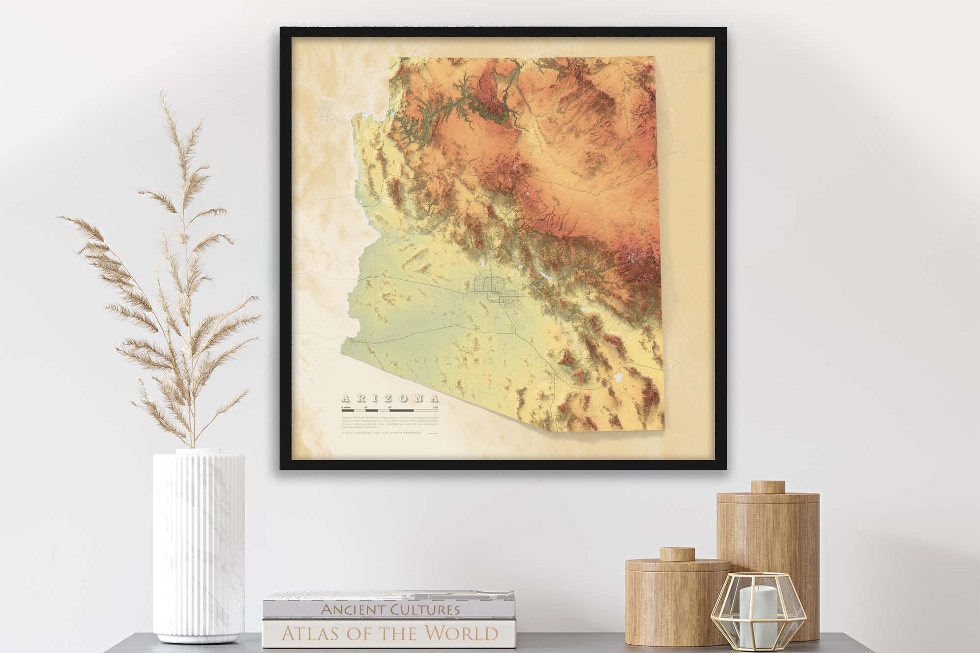
Our State Map Collection includes Elevation Maps fine art prints of each state as well as topographical detailed maps of certain USA States. Let our maps help decorate your home!
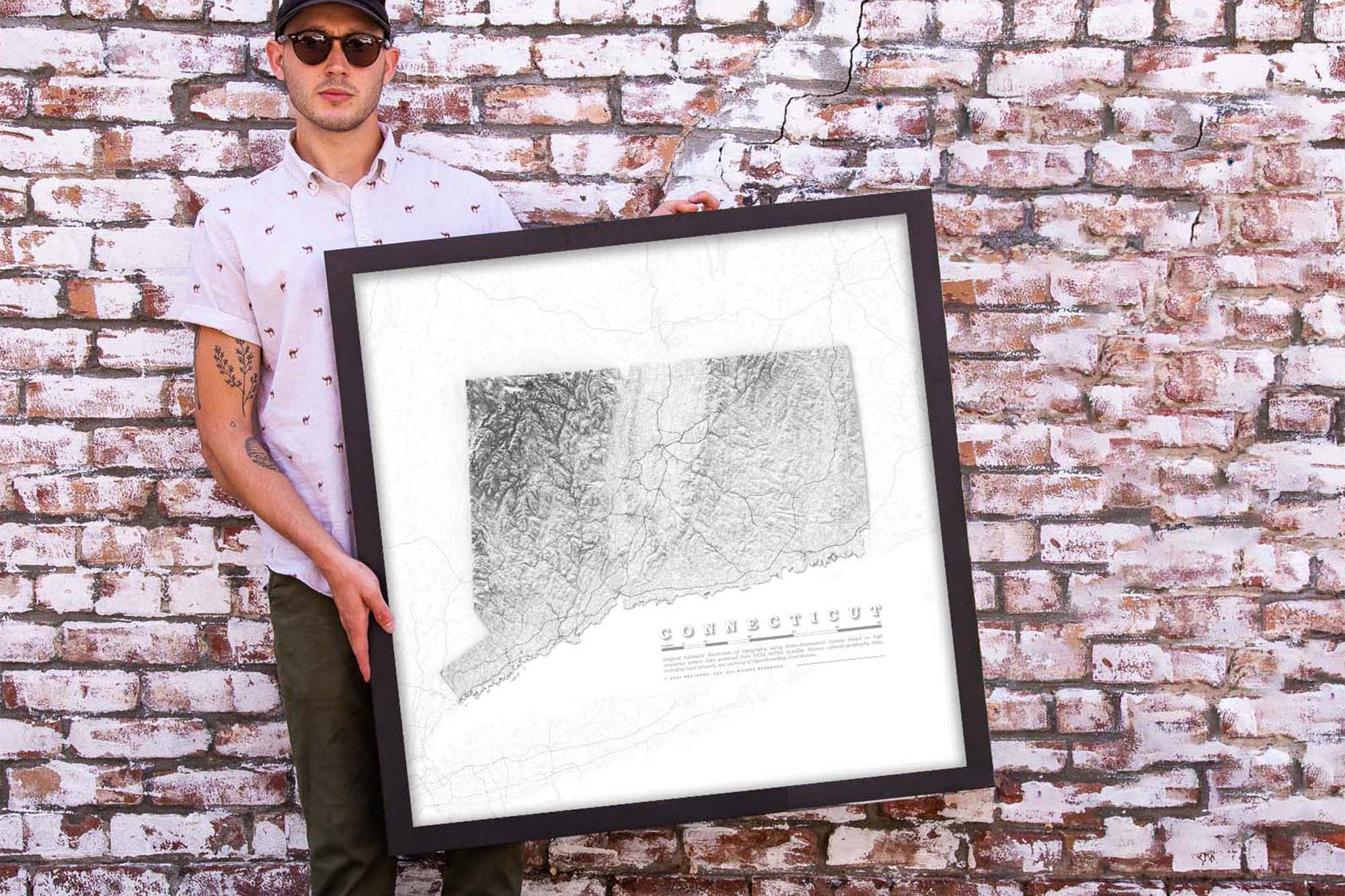
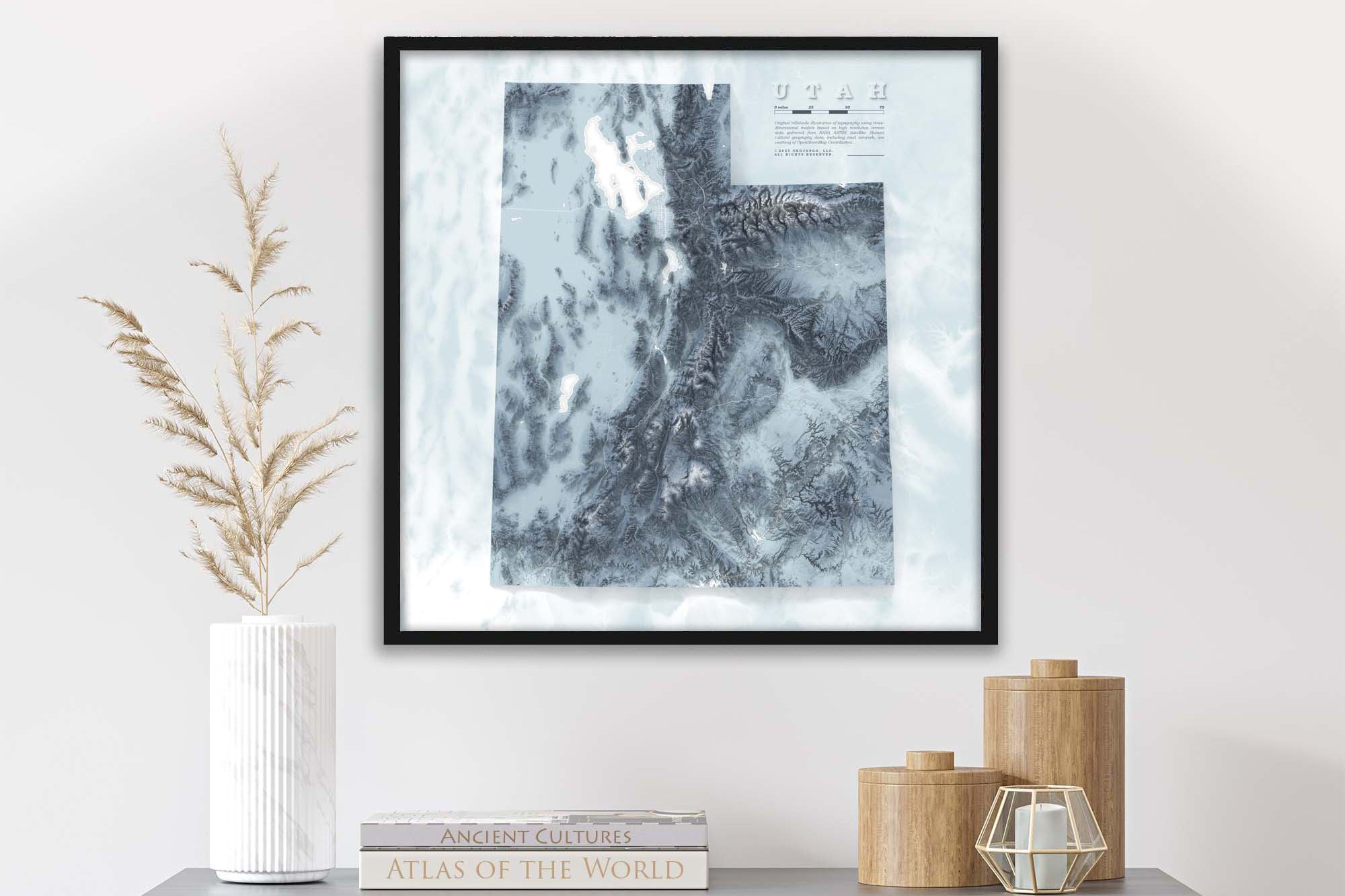
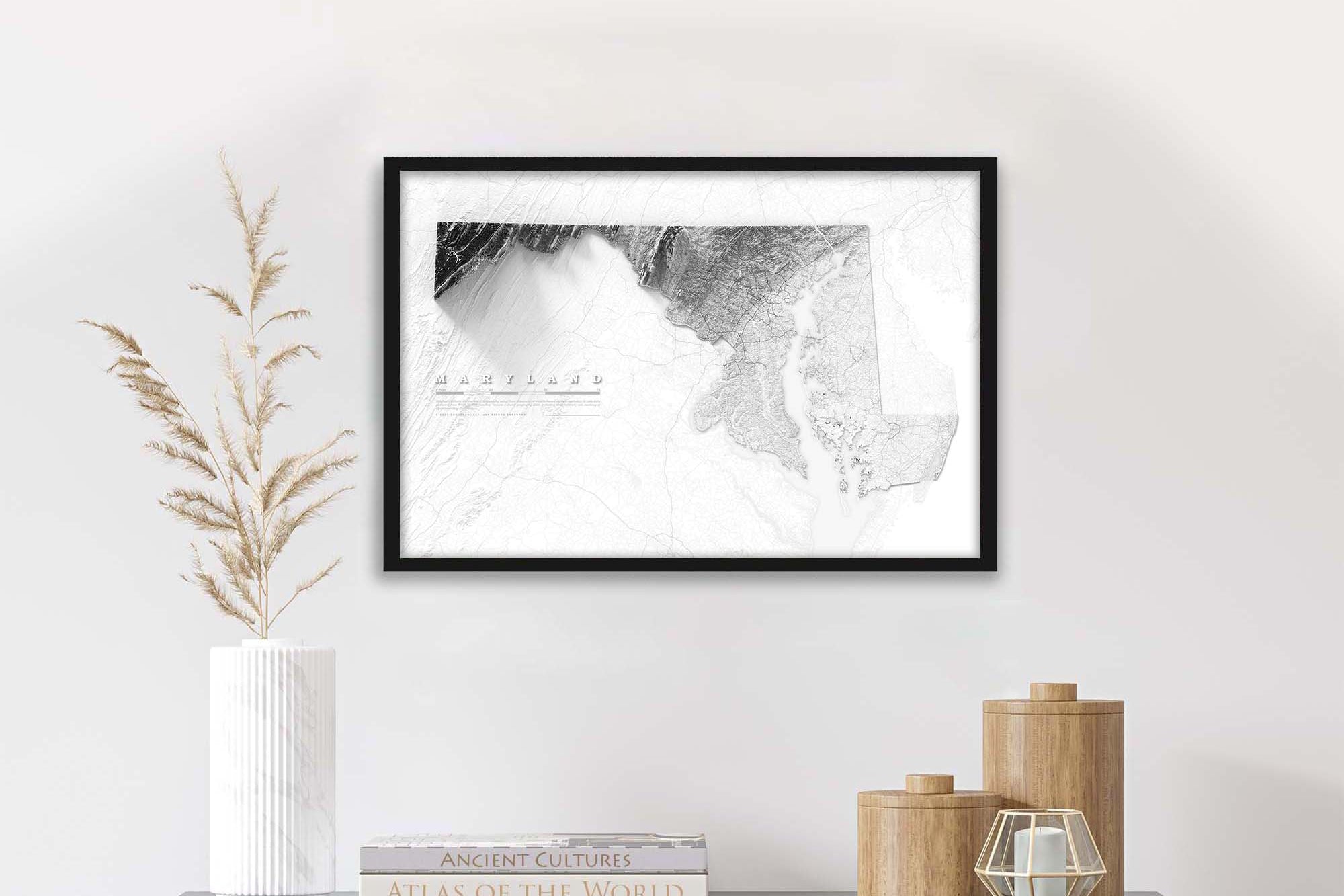
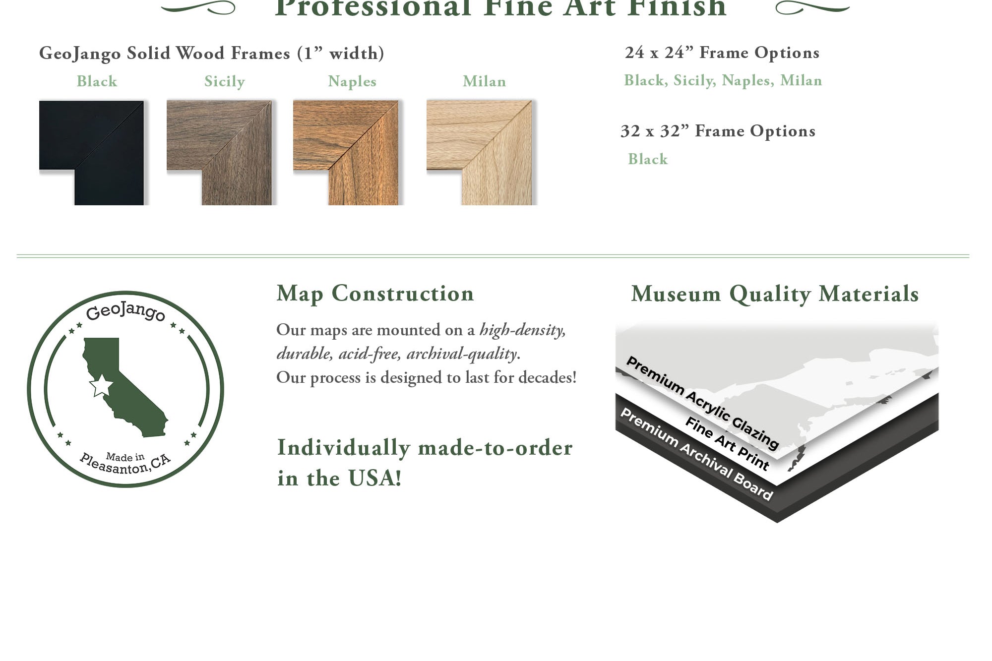
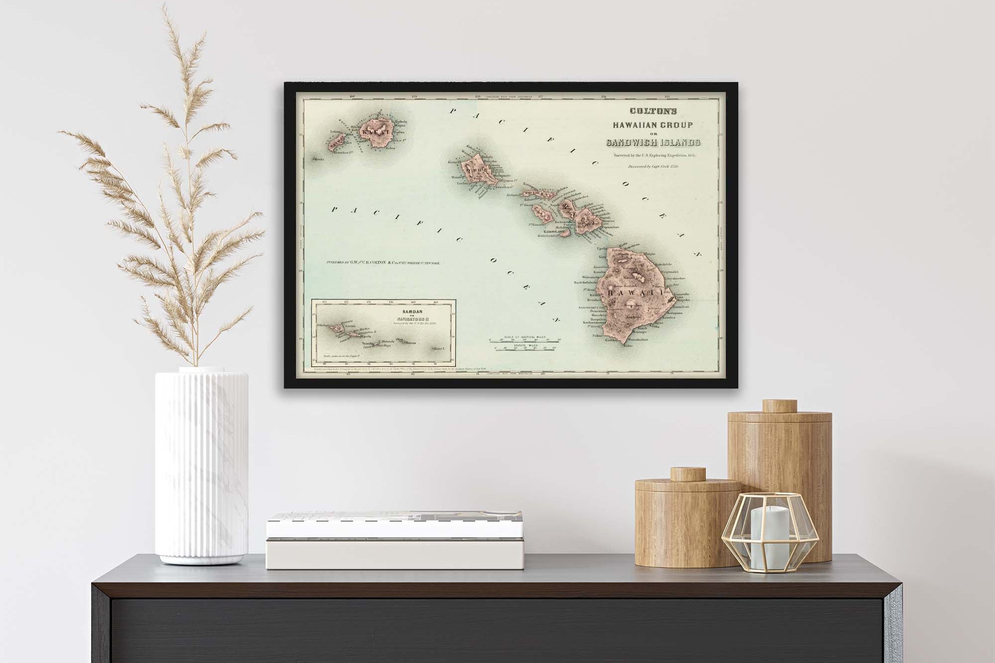
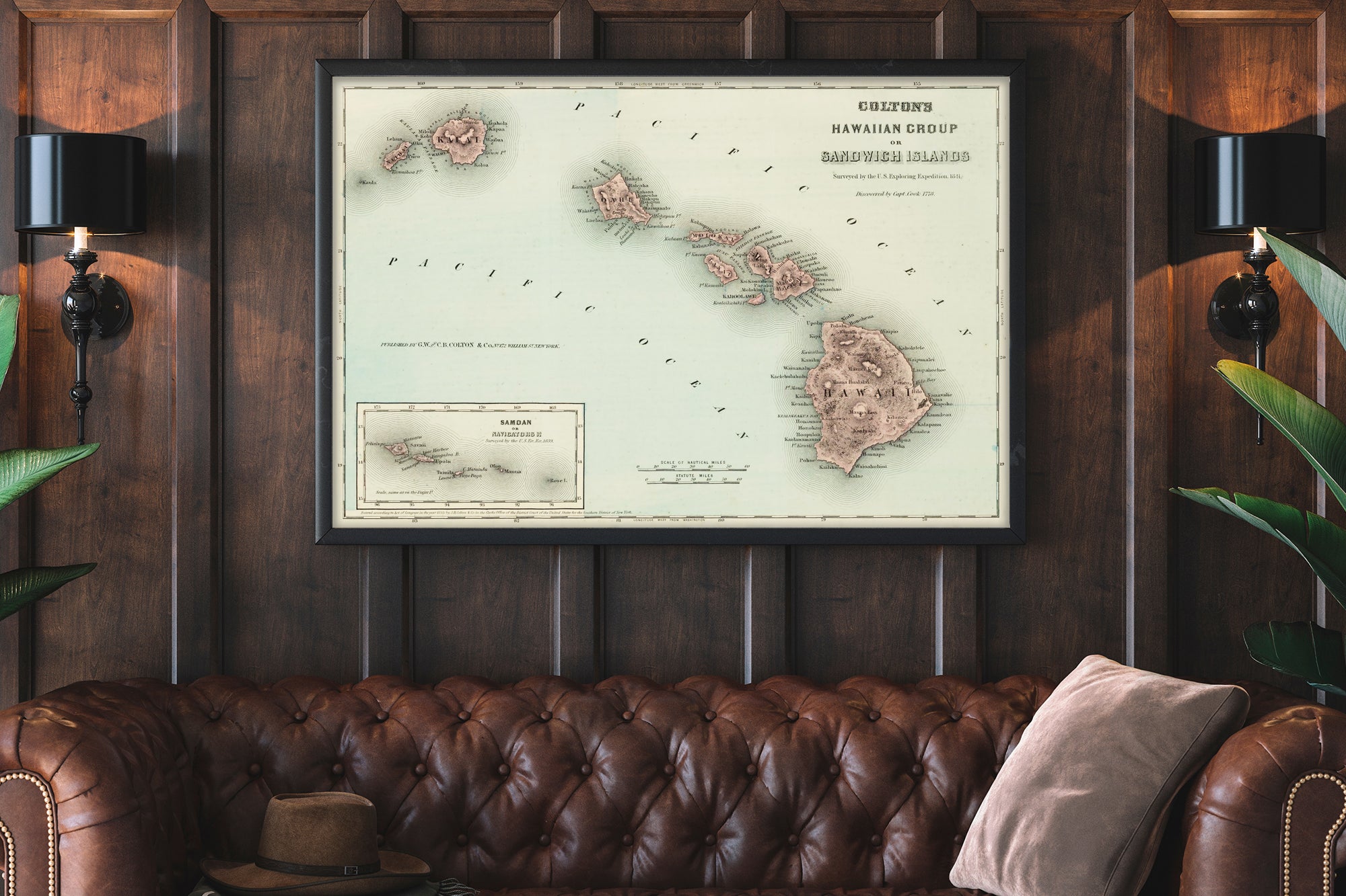
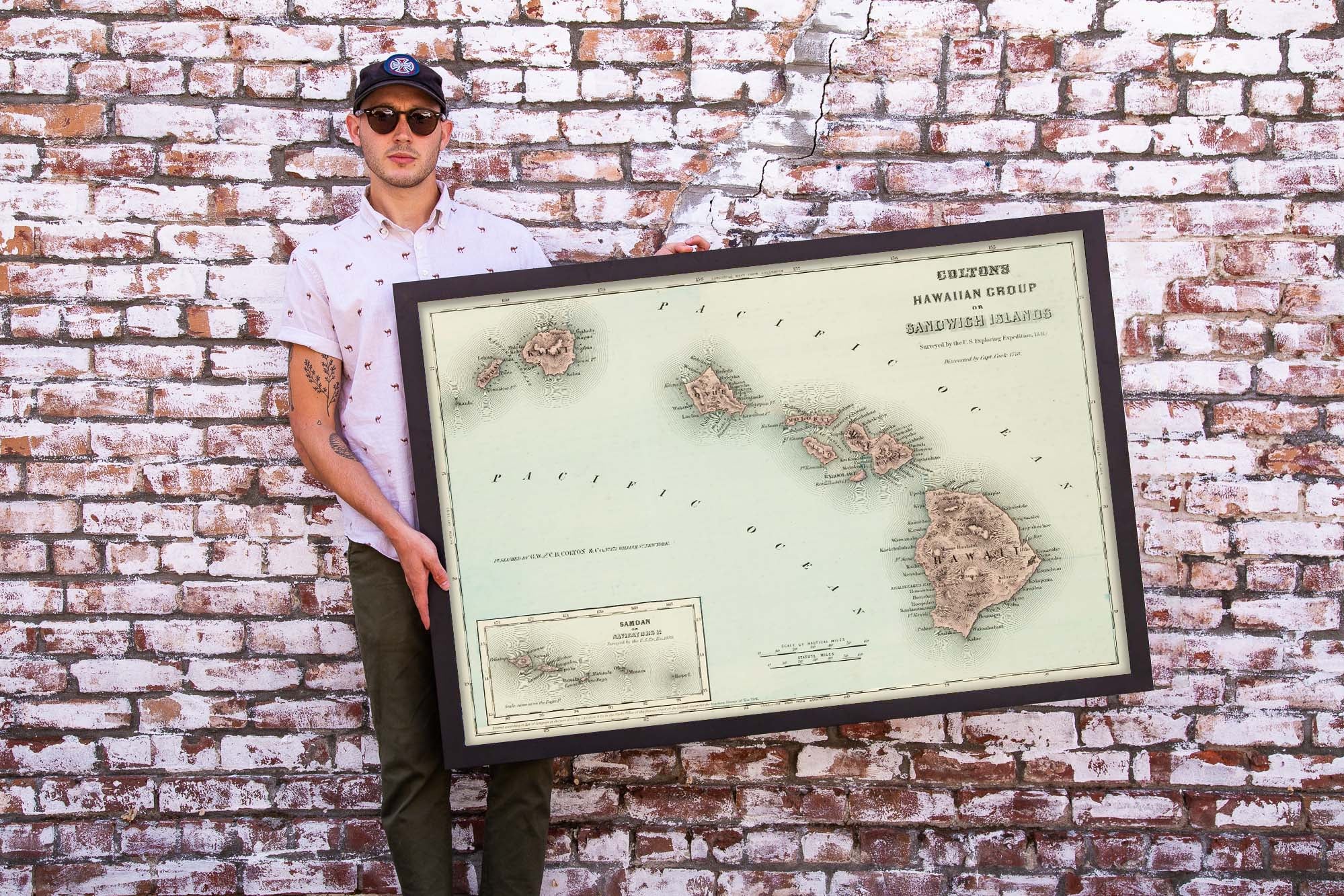
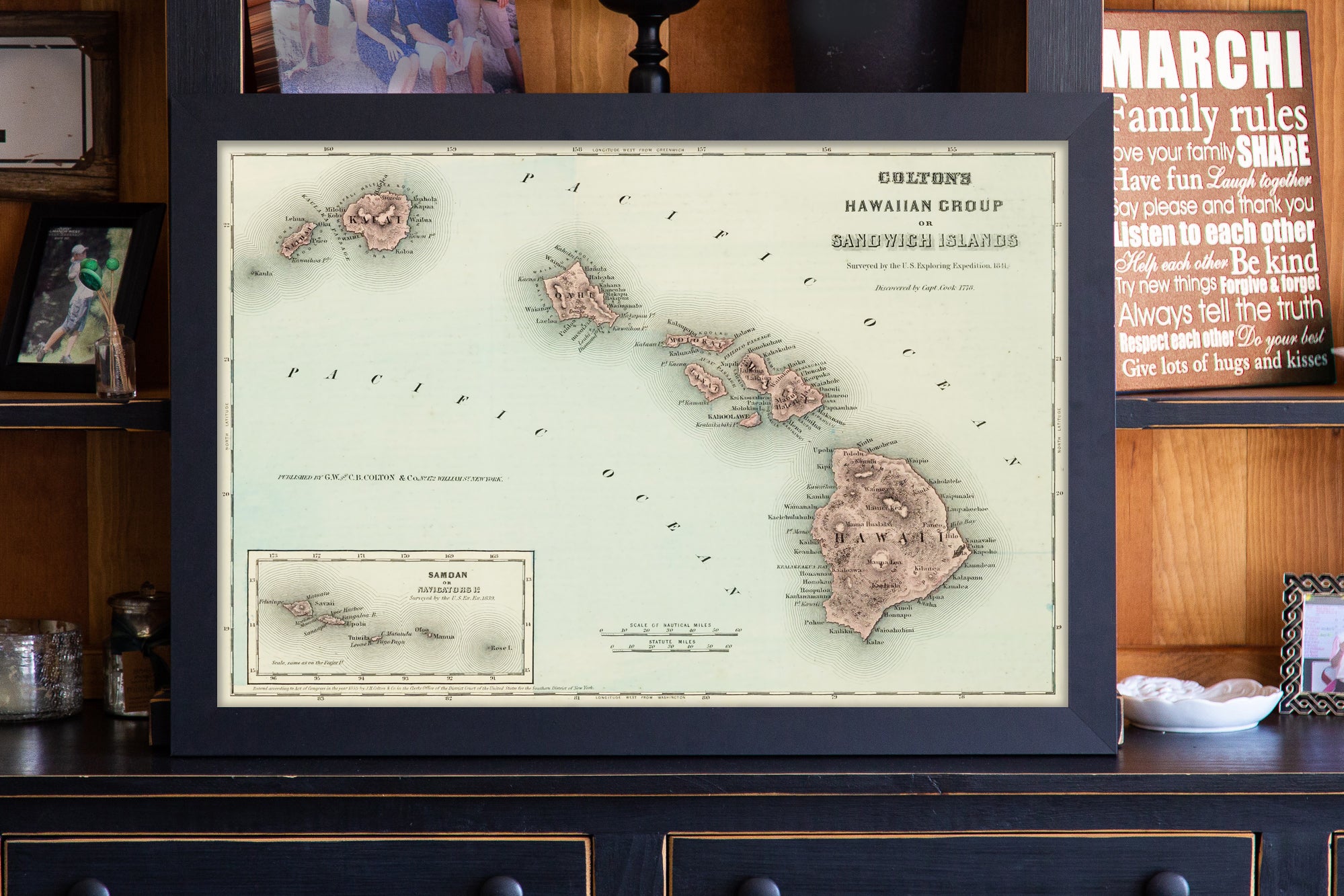
Framed State Maps and Prints
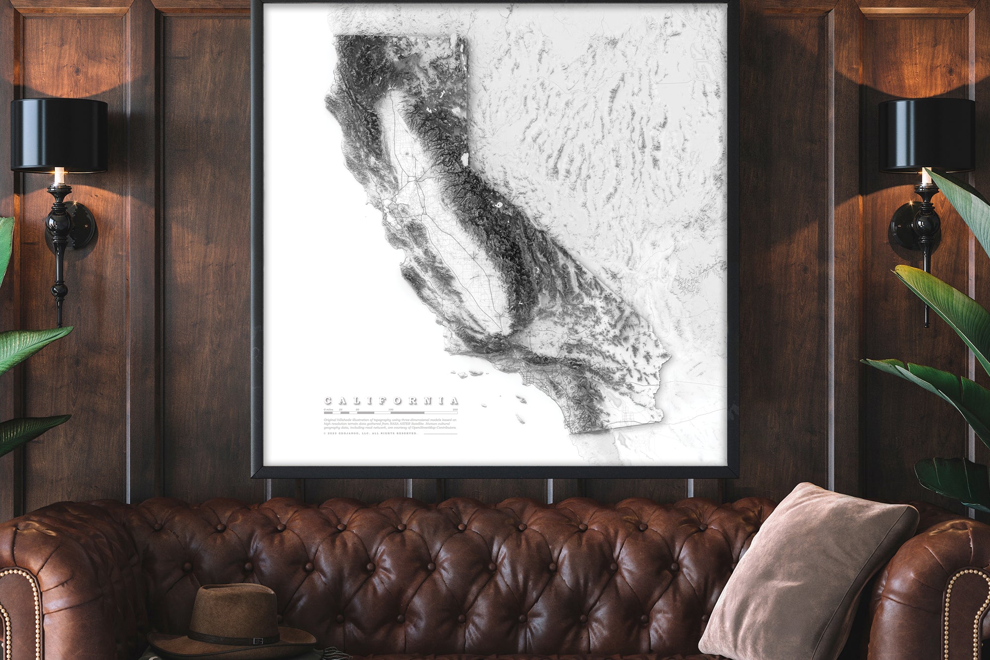
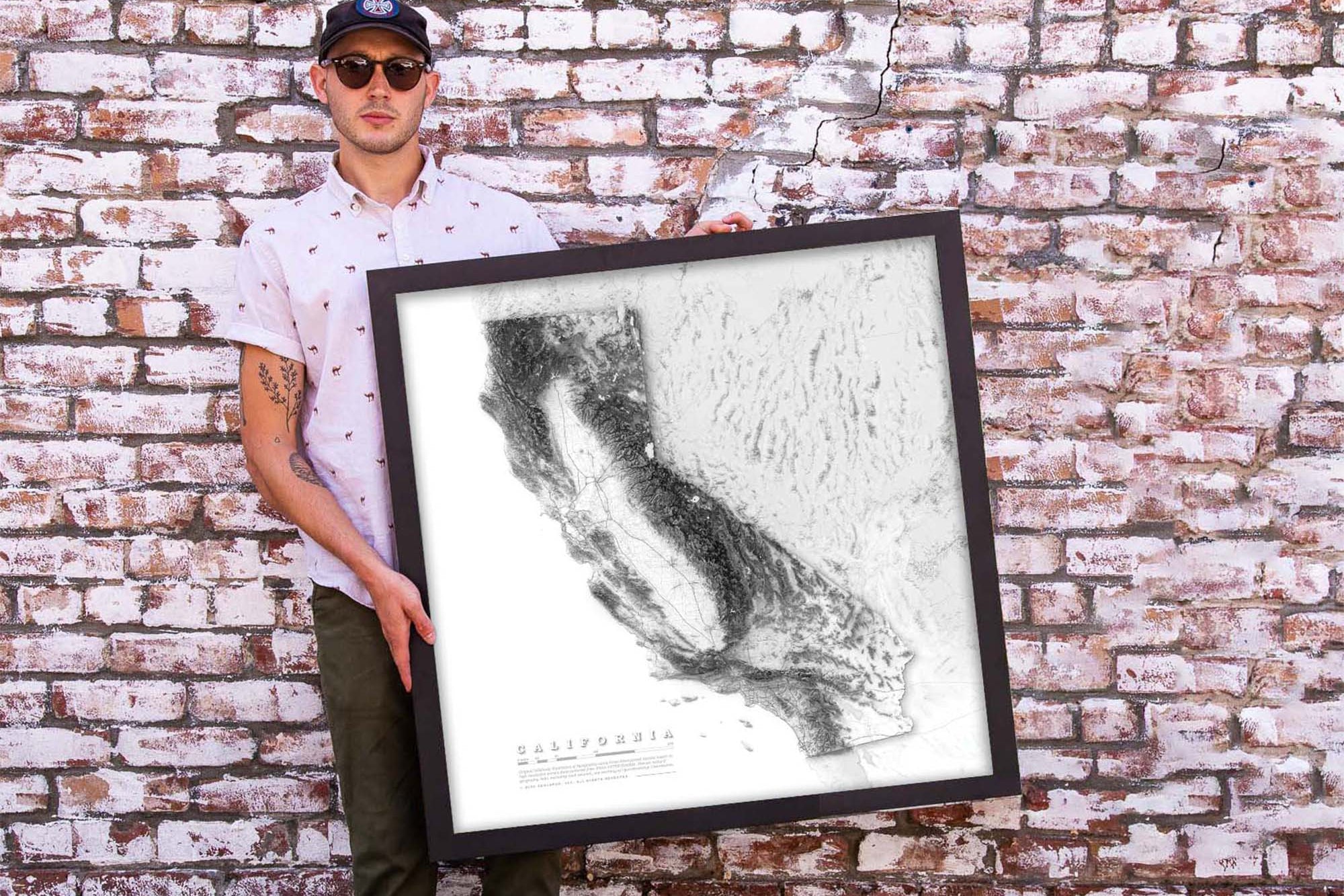
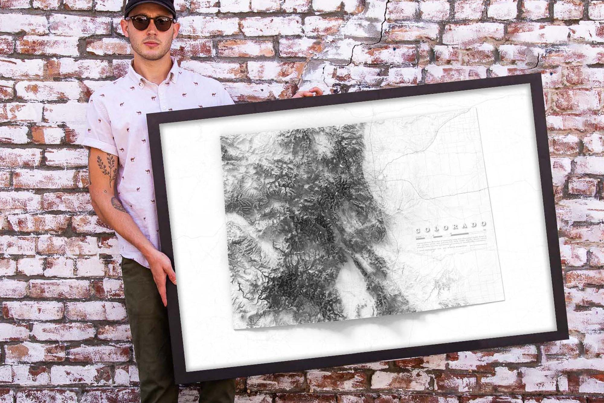
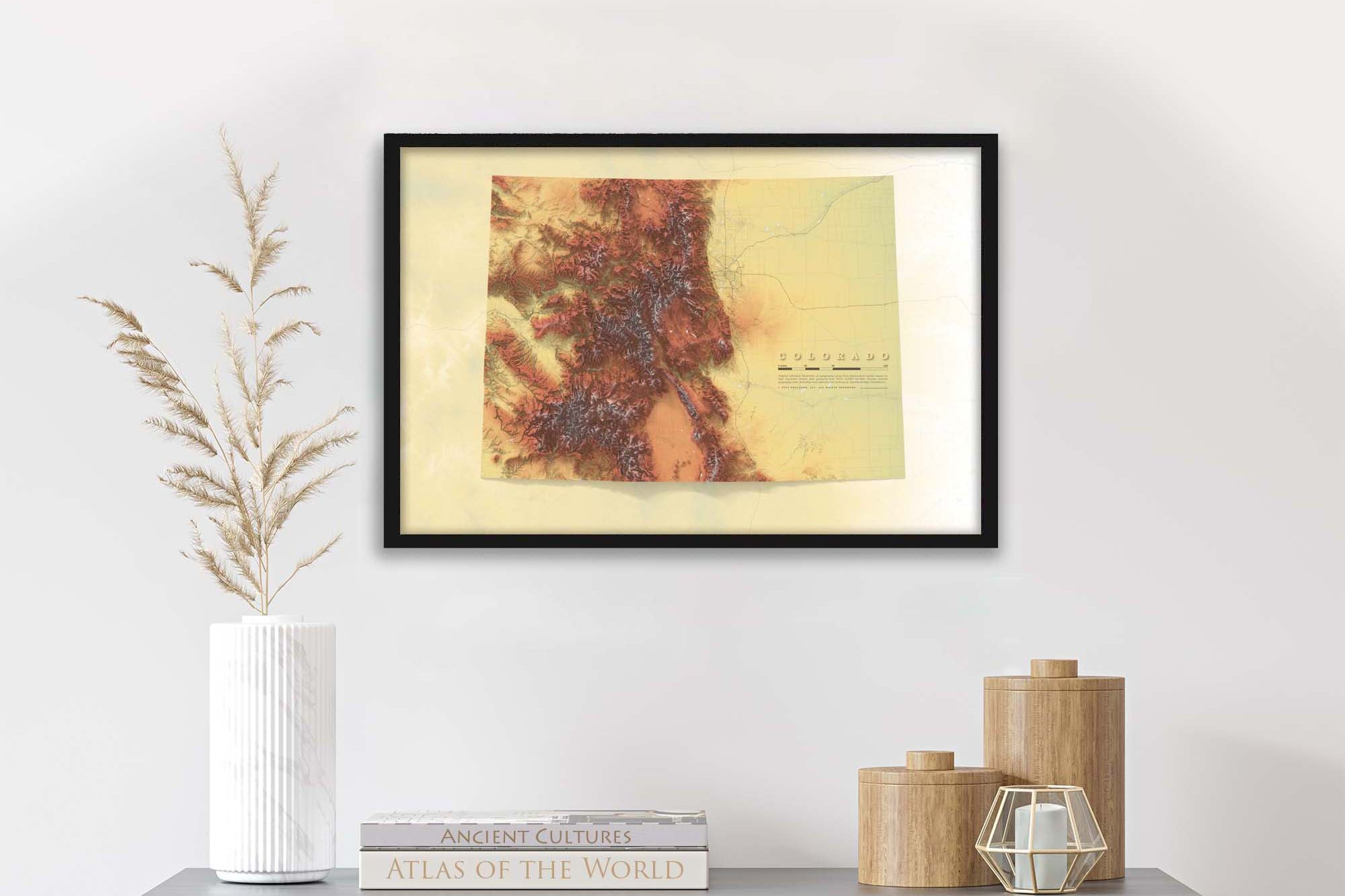
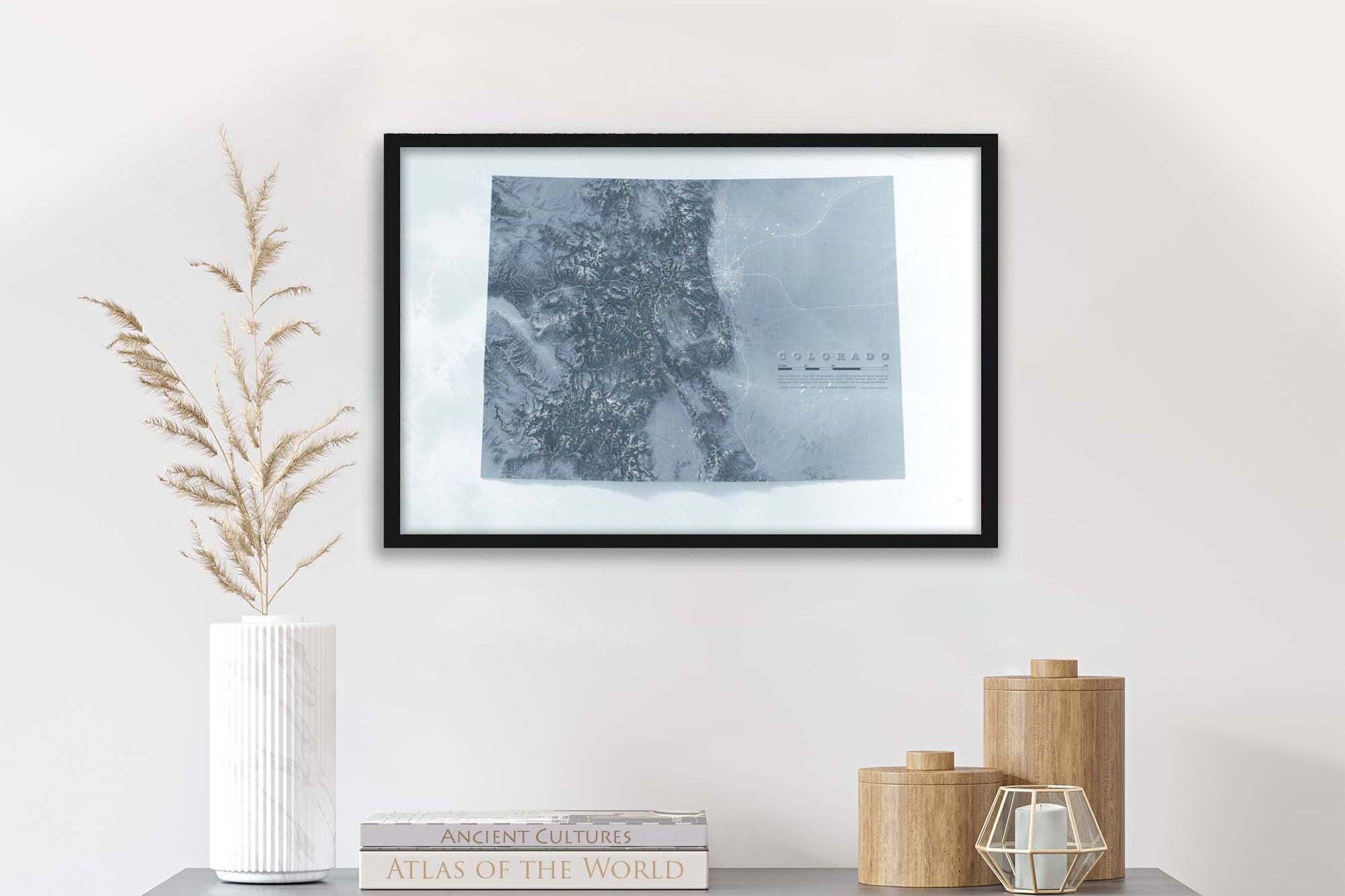
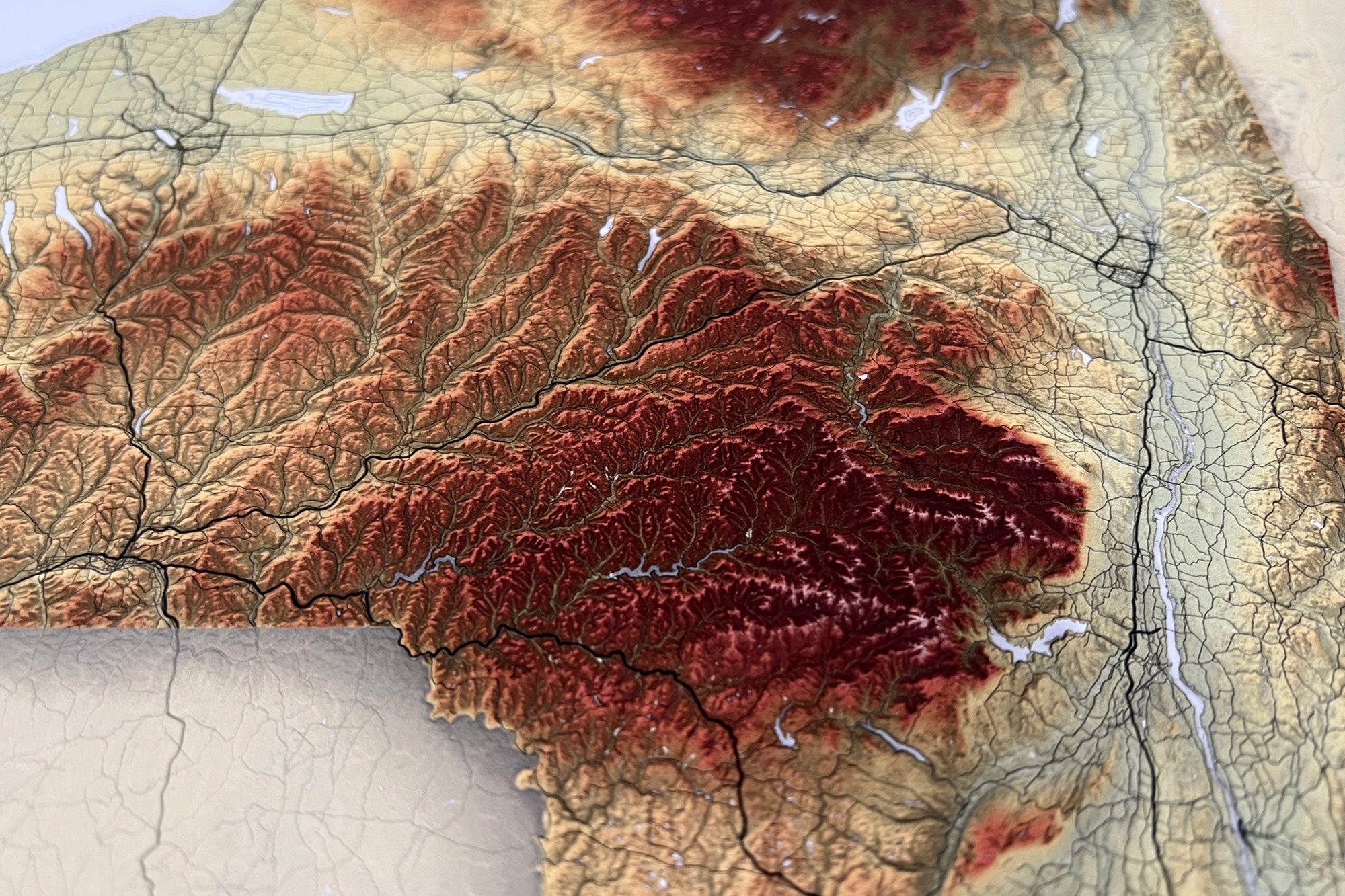
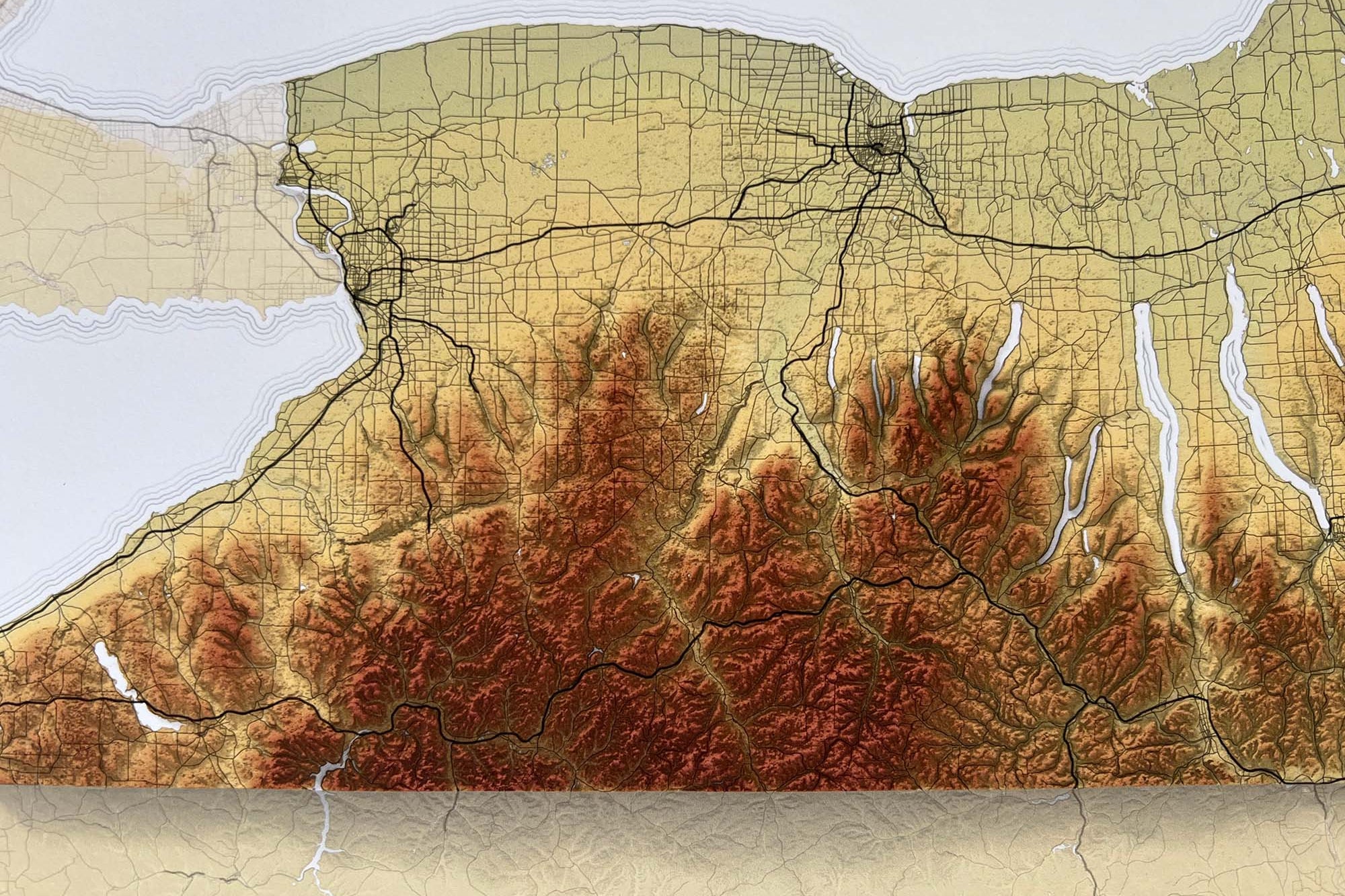
Discover the intricate beauty and geographical diversity of the United States with our collection of state maps. Each map is meticulously crafted, showcasing detailed elevations and shaded relief designs that bring the unique topography of each state to life. Ideal for both educational and decorative purposes, our maps serve as a functional piece of art, offering a stunning visual representation of the natural landscape.
Whether you're a geography enthusiast, a student, or simply someone who appreciates the beauty of the American terrain, our maps are designed to meet your needs, providing both aesthetic appeal and valuable information. Explore the contours of every state, from the rolling hills and mountains to the vast plains and coastlines, all beautifully rendered to enhance your understanding and appreciation of the country's diverse geography.
If you do not see a state that you would like, please reach out to us at support @ geojango.com and let us know what you are interested in!

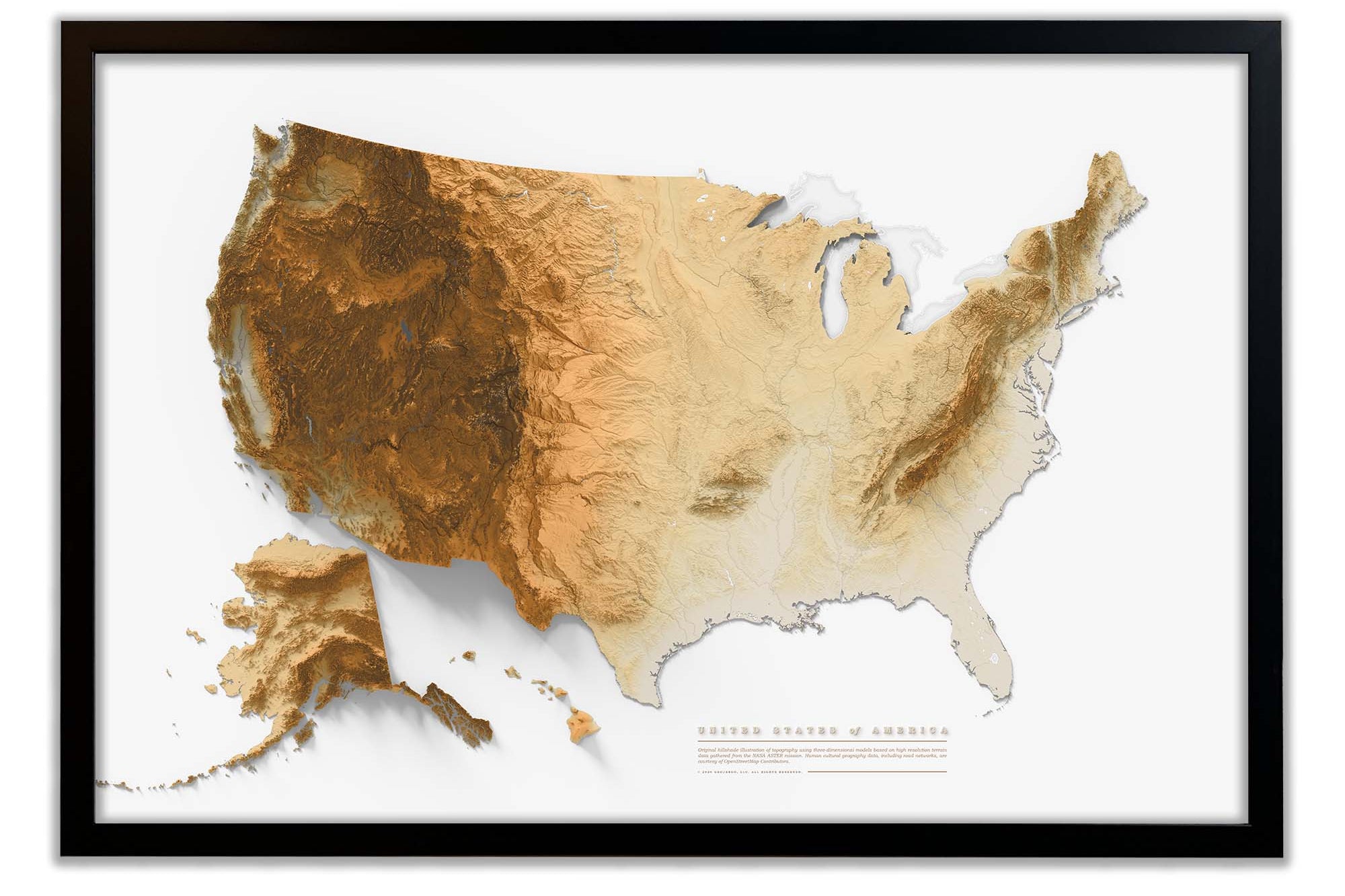
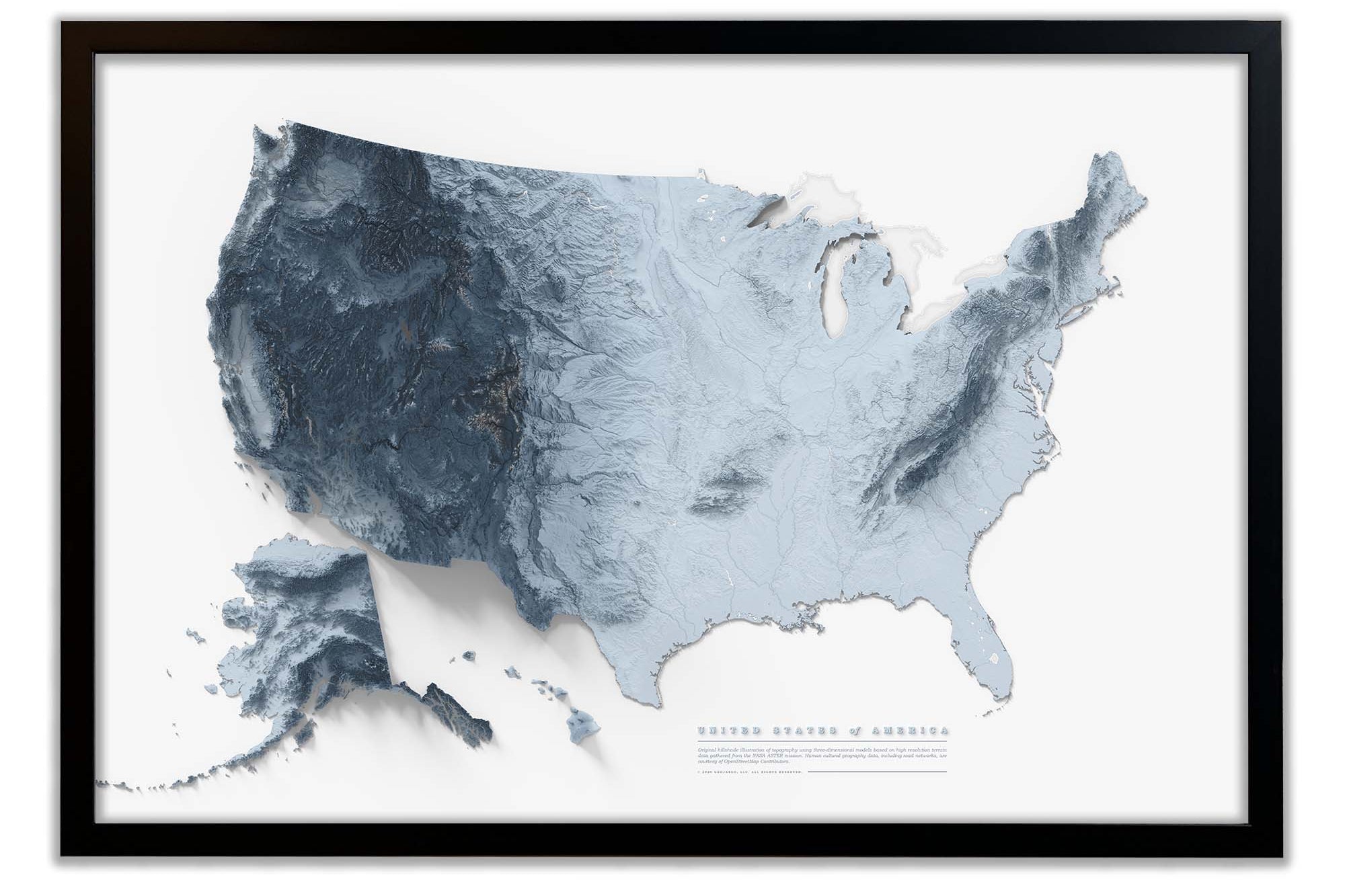


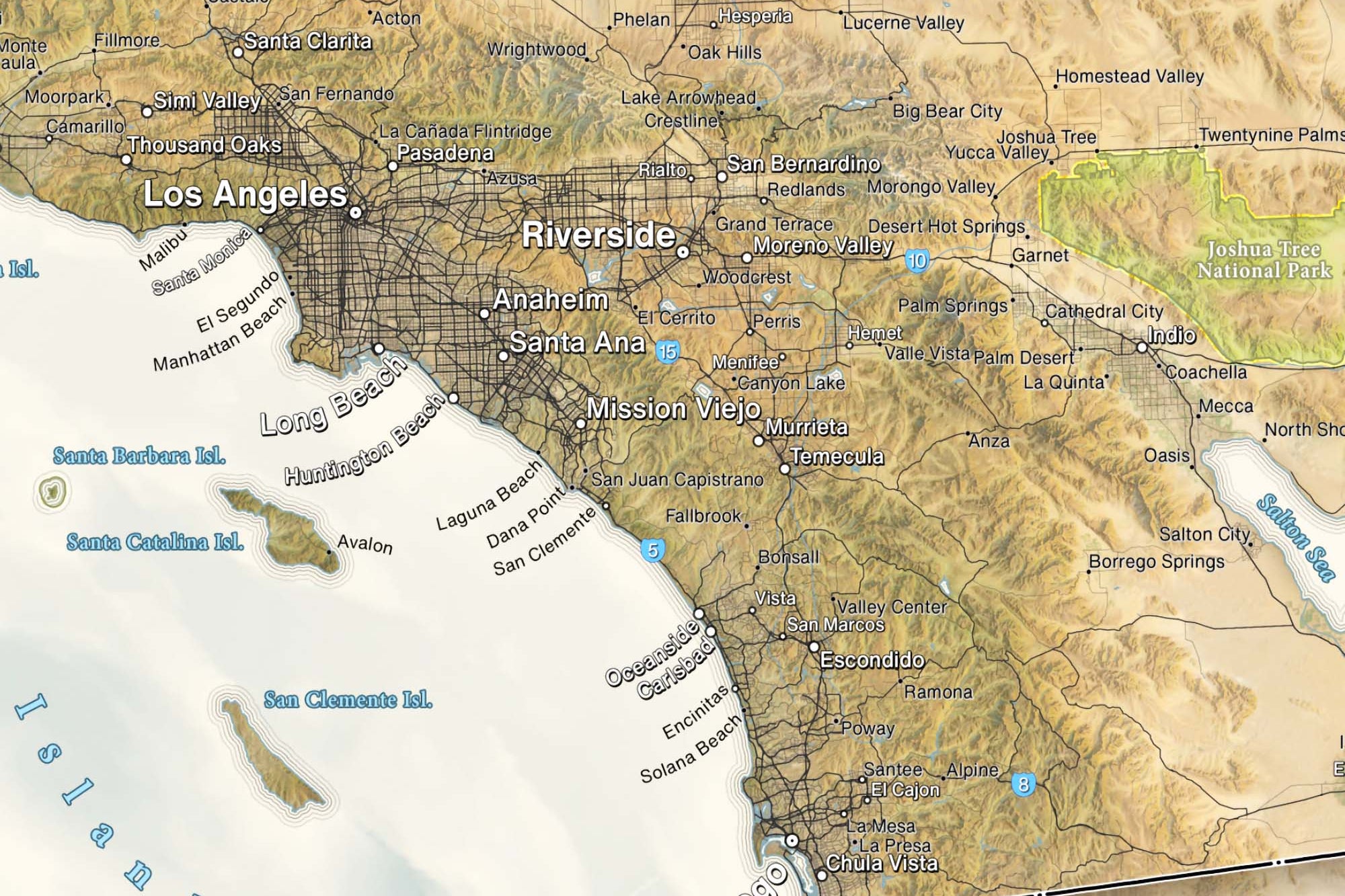


Topological Map of USA
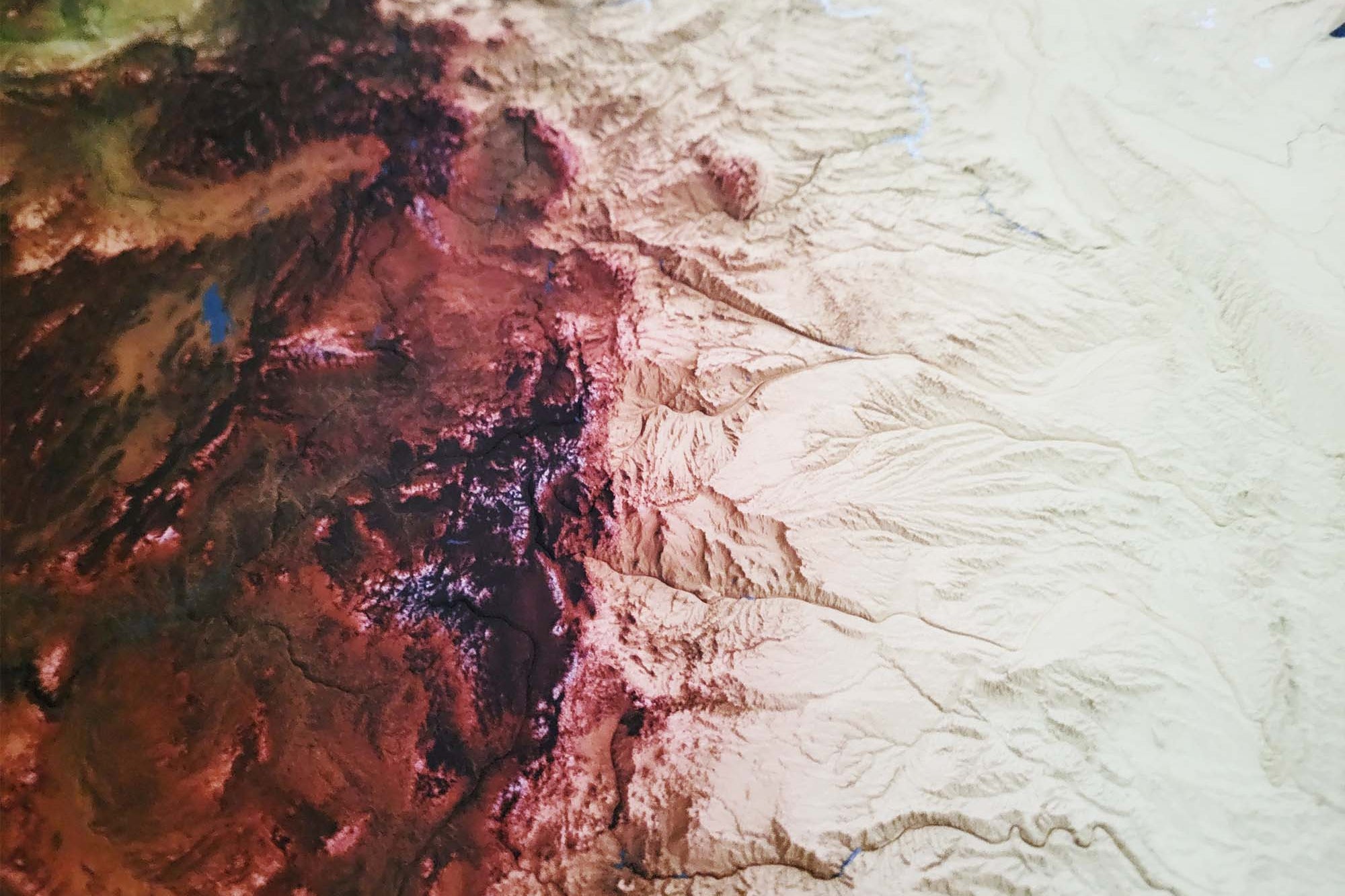
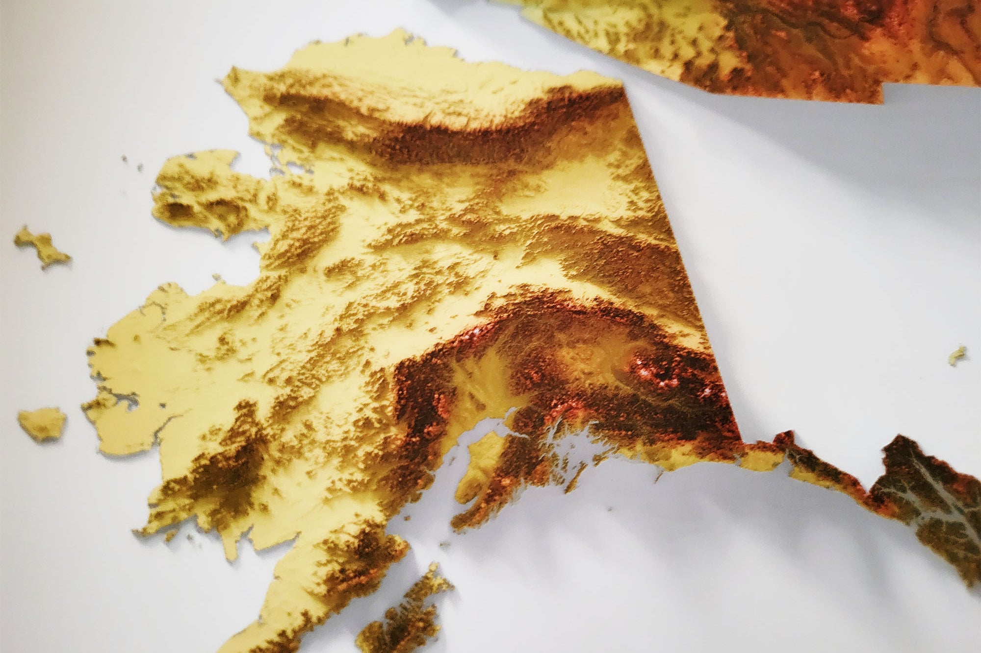
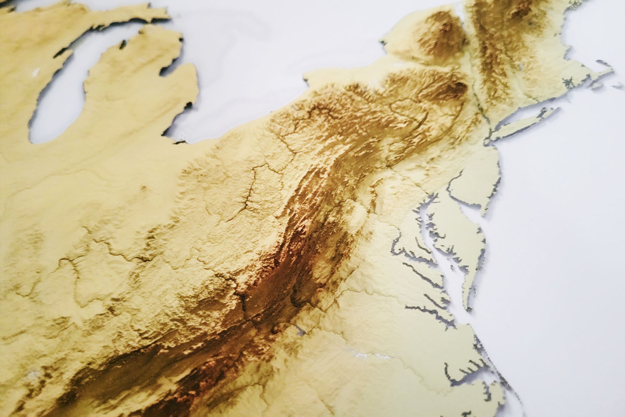
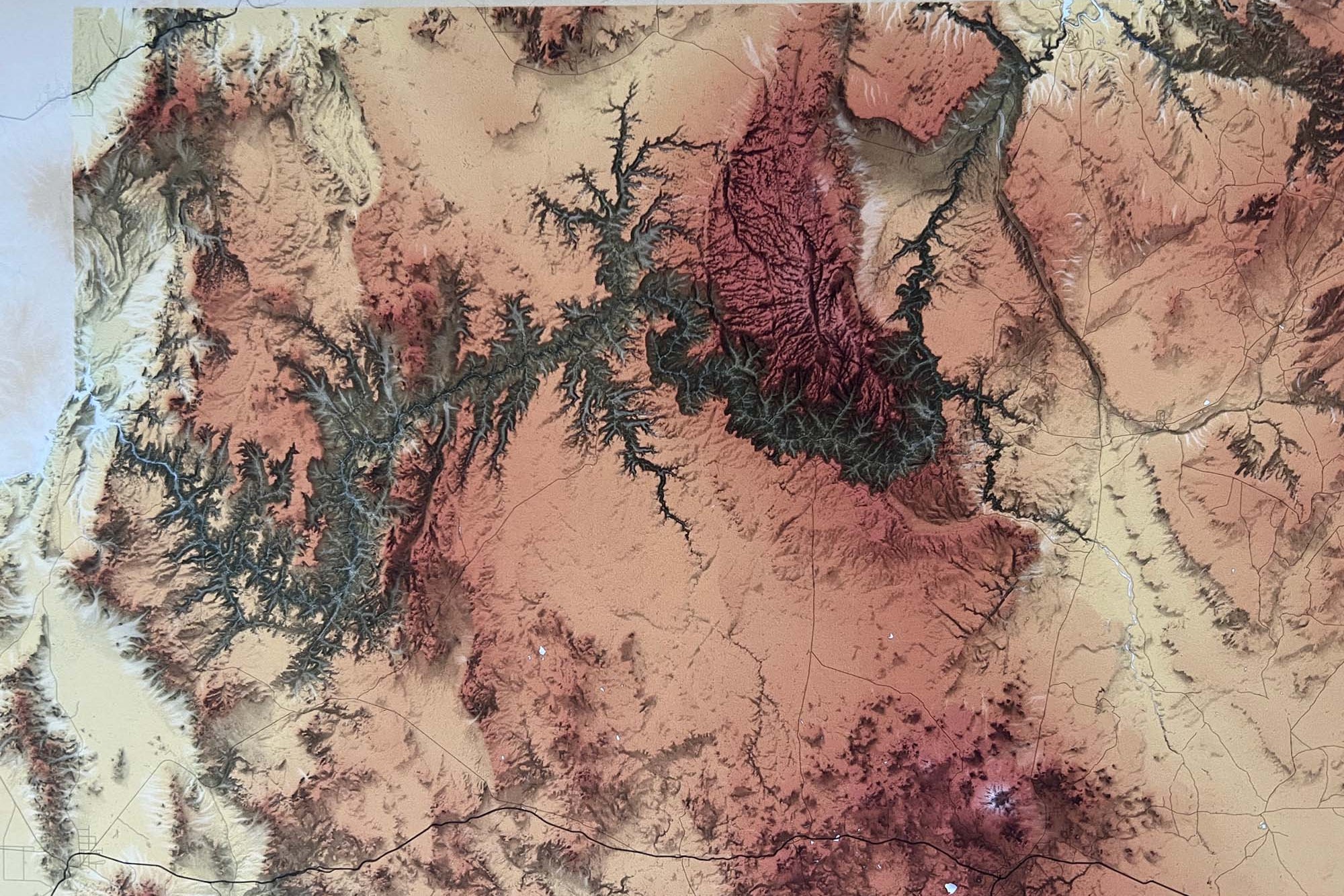
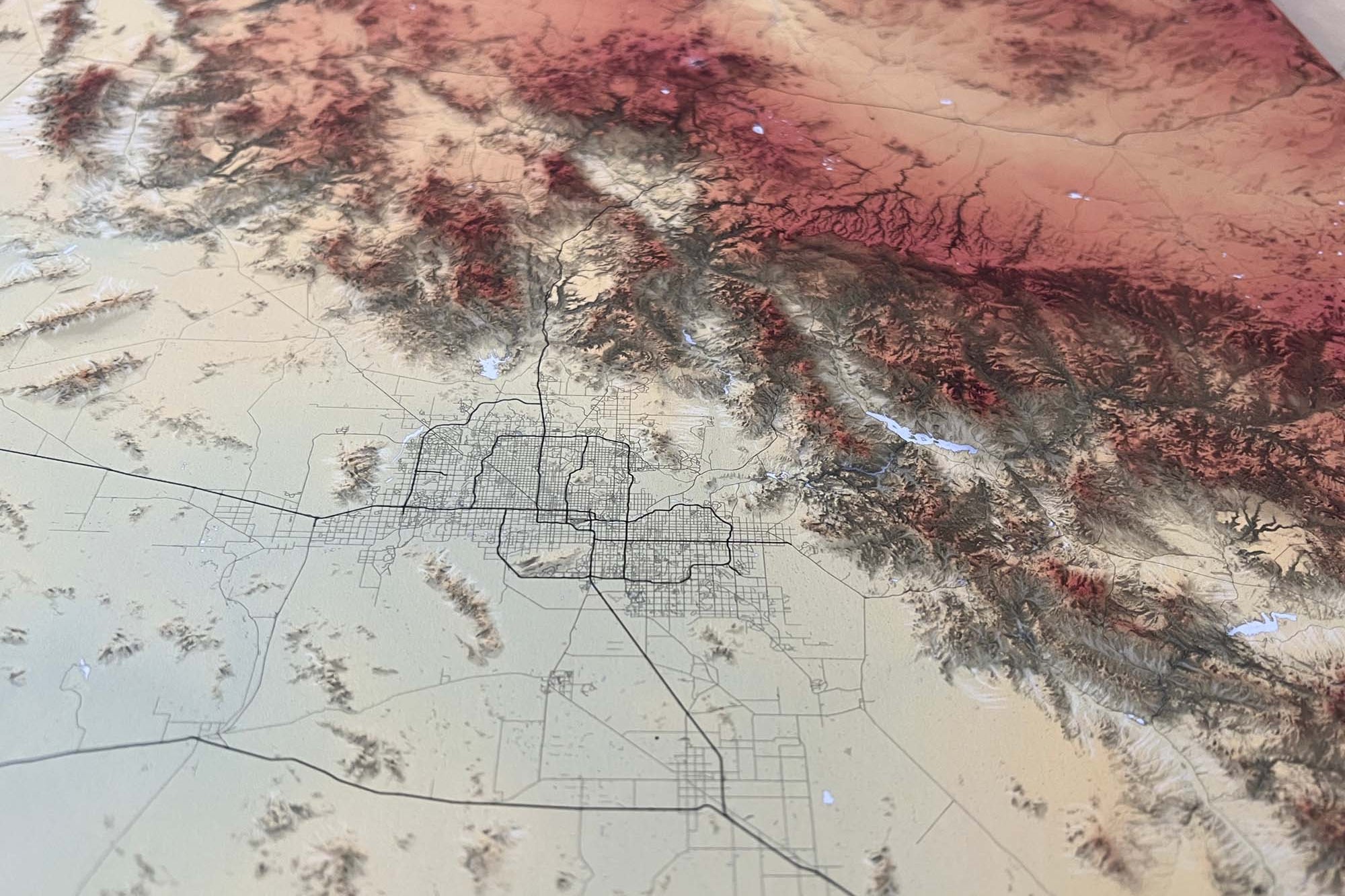
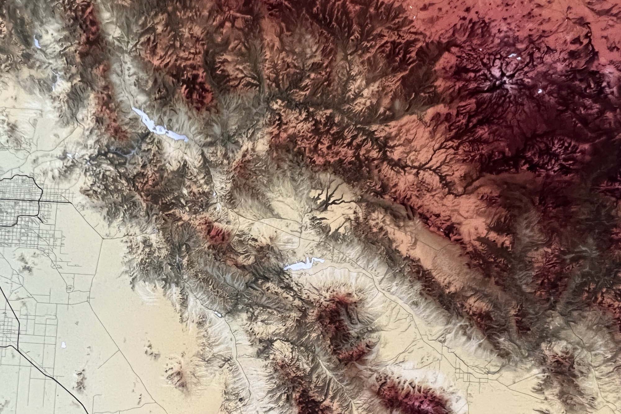
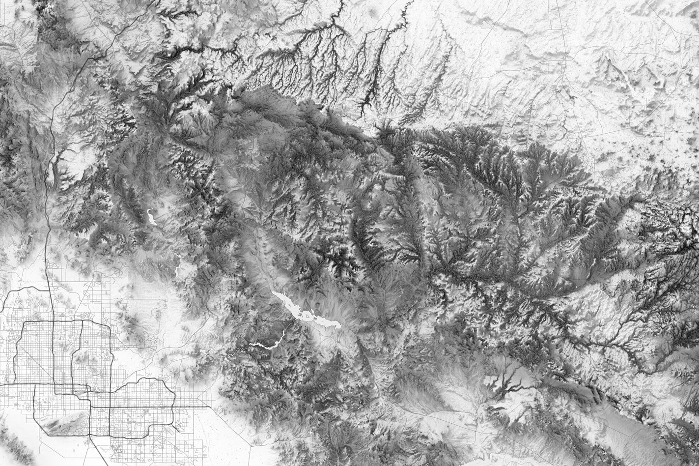
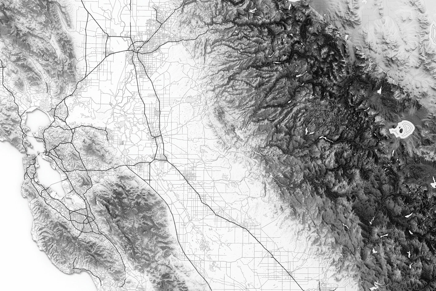
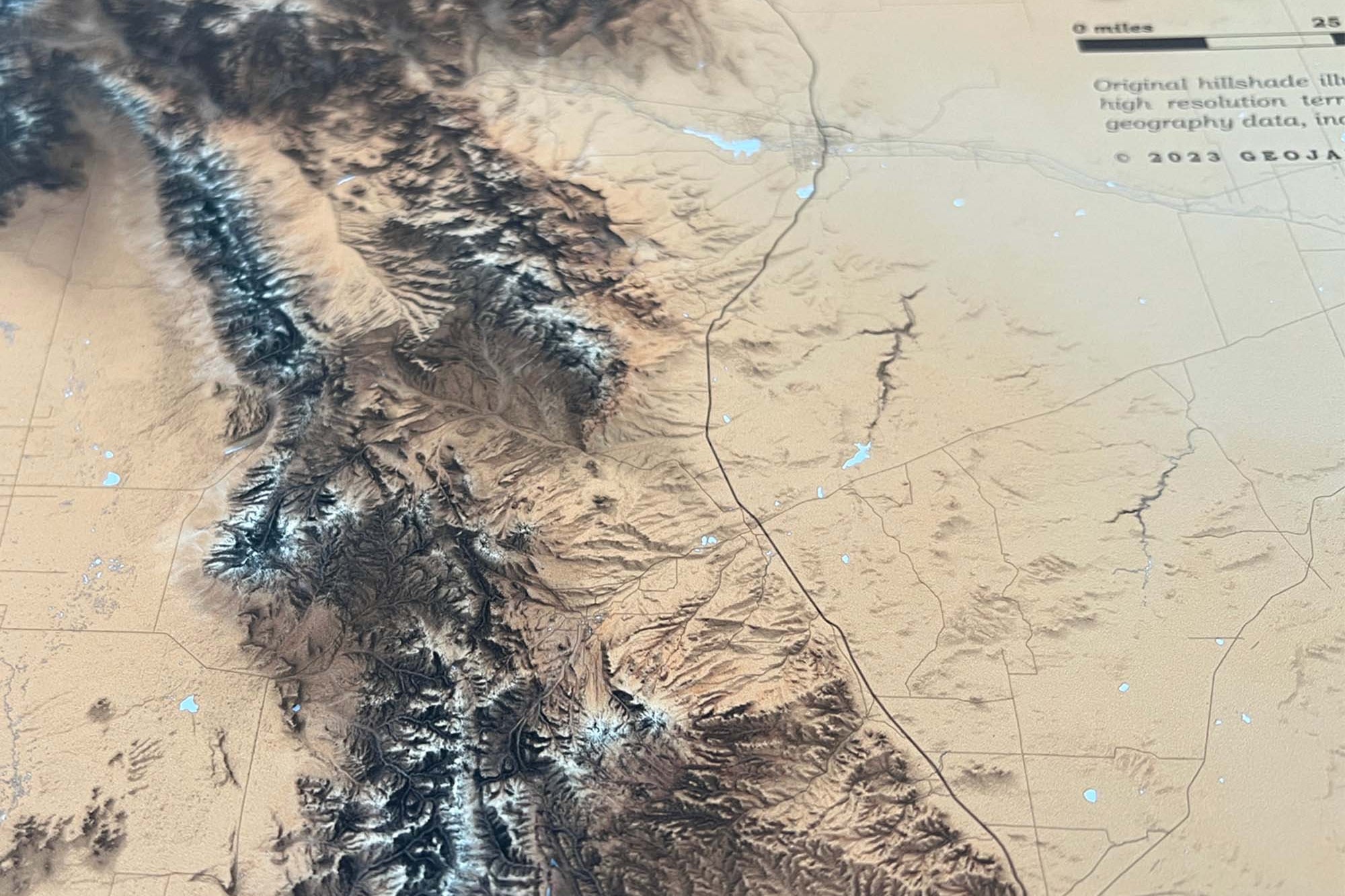
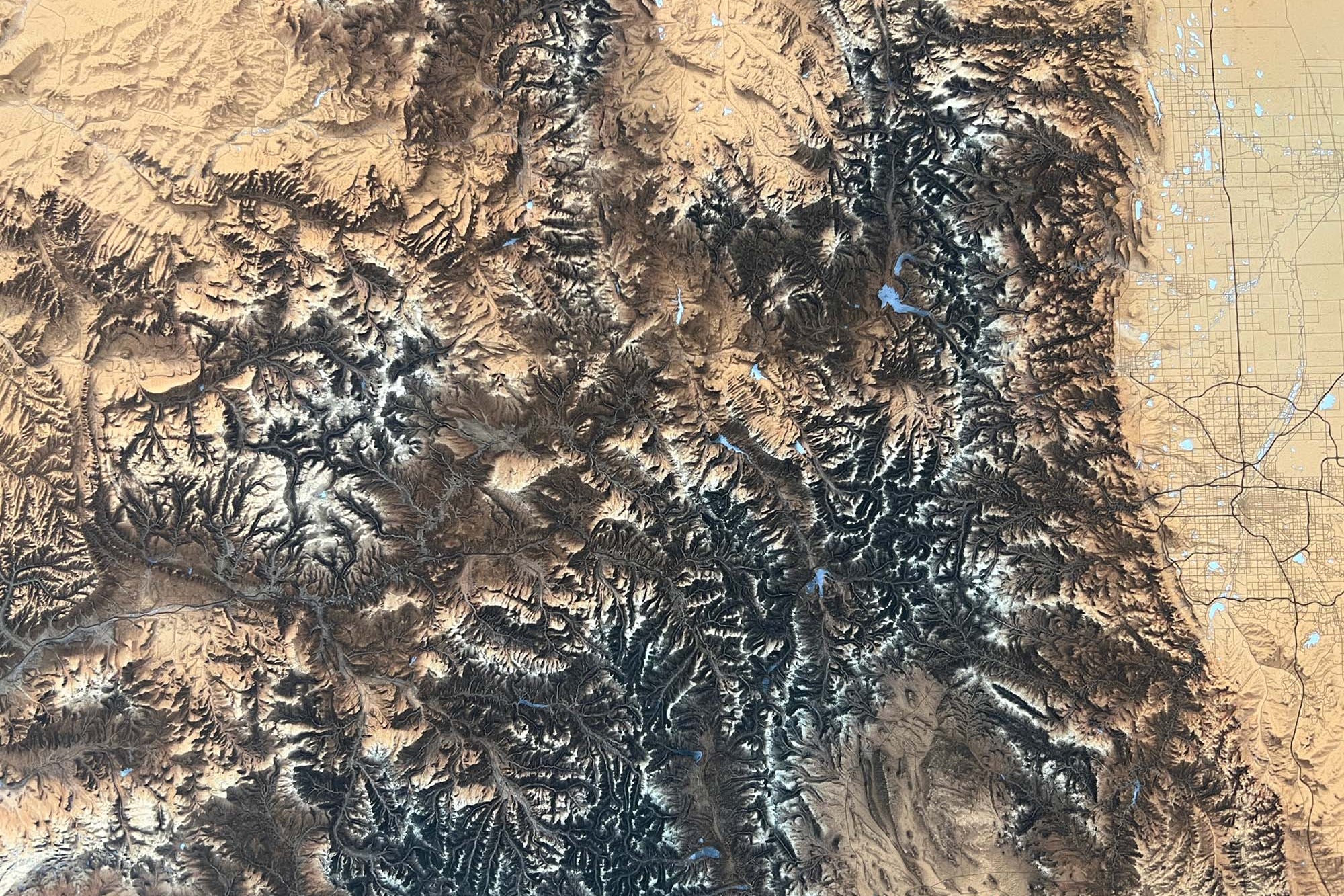
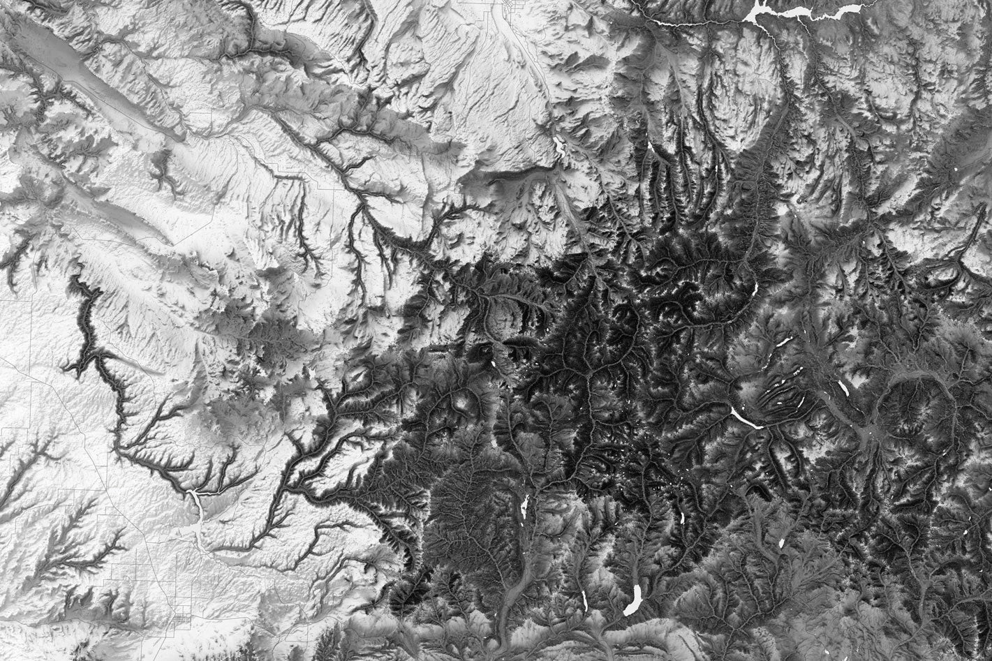
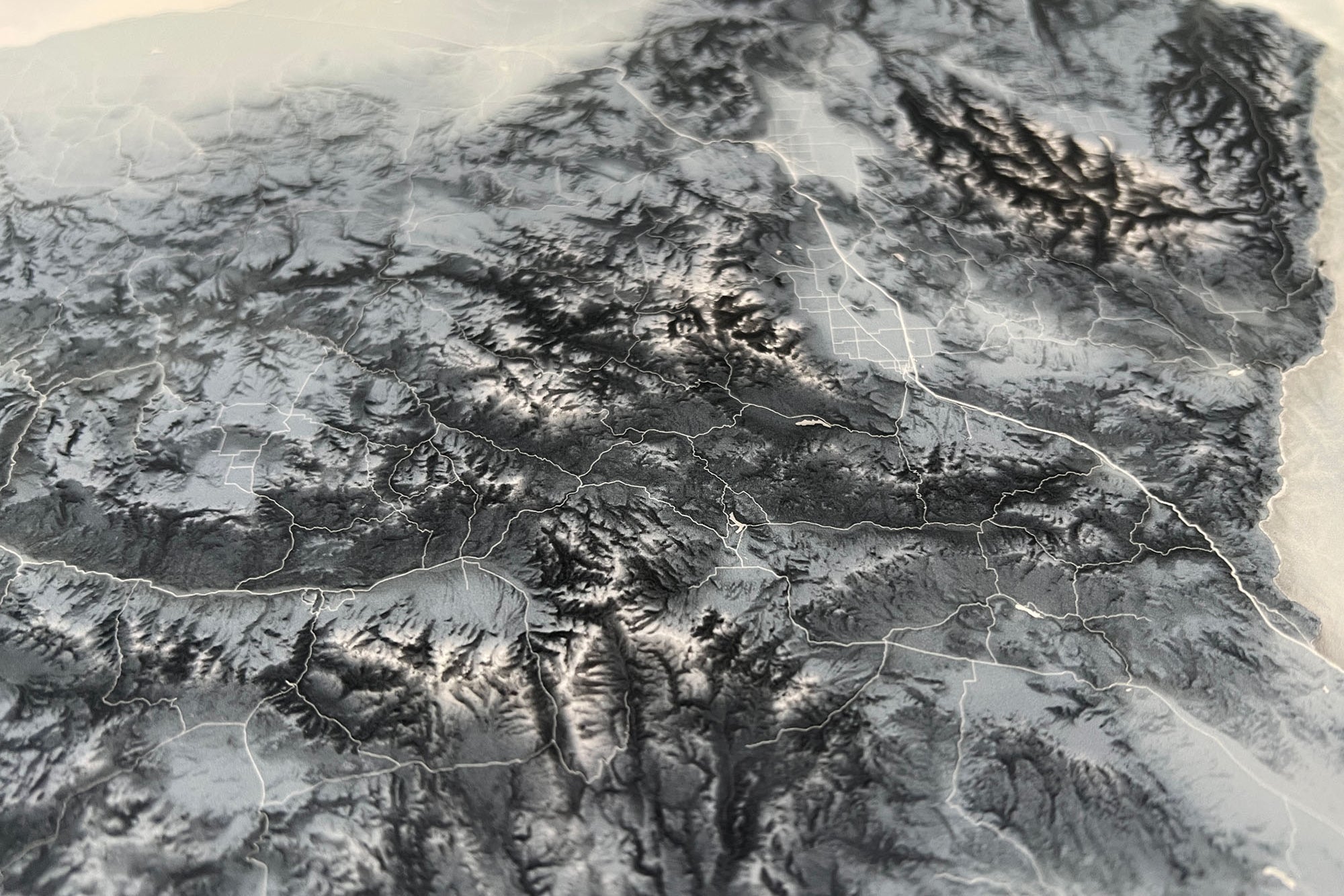
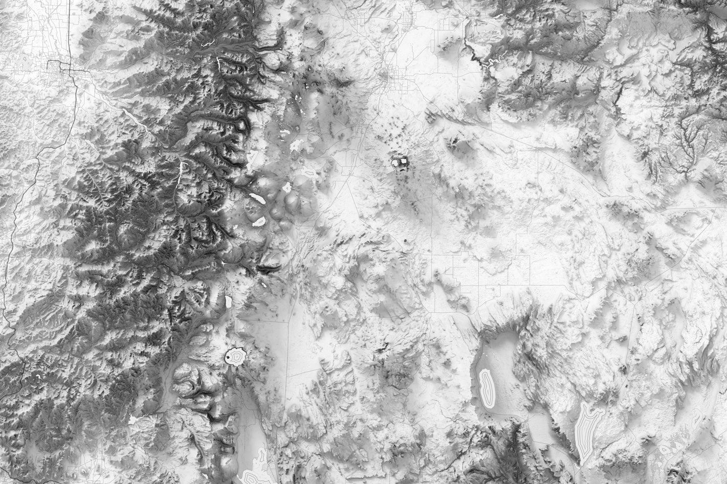
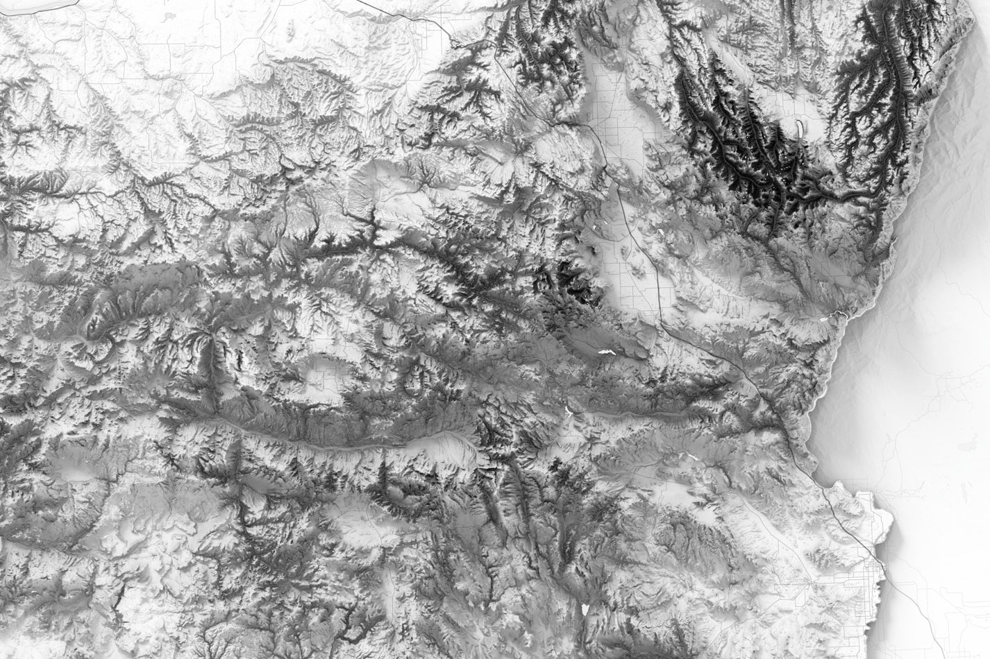
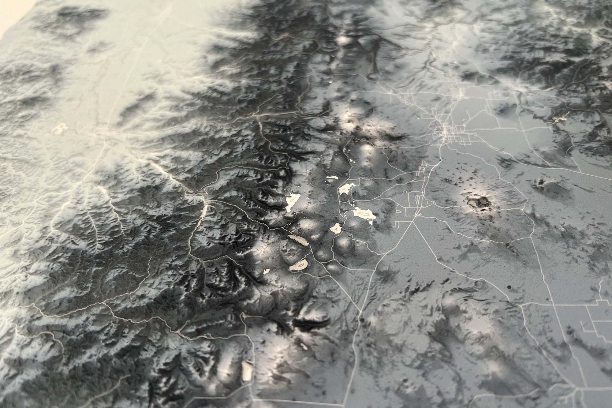
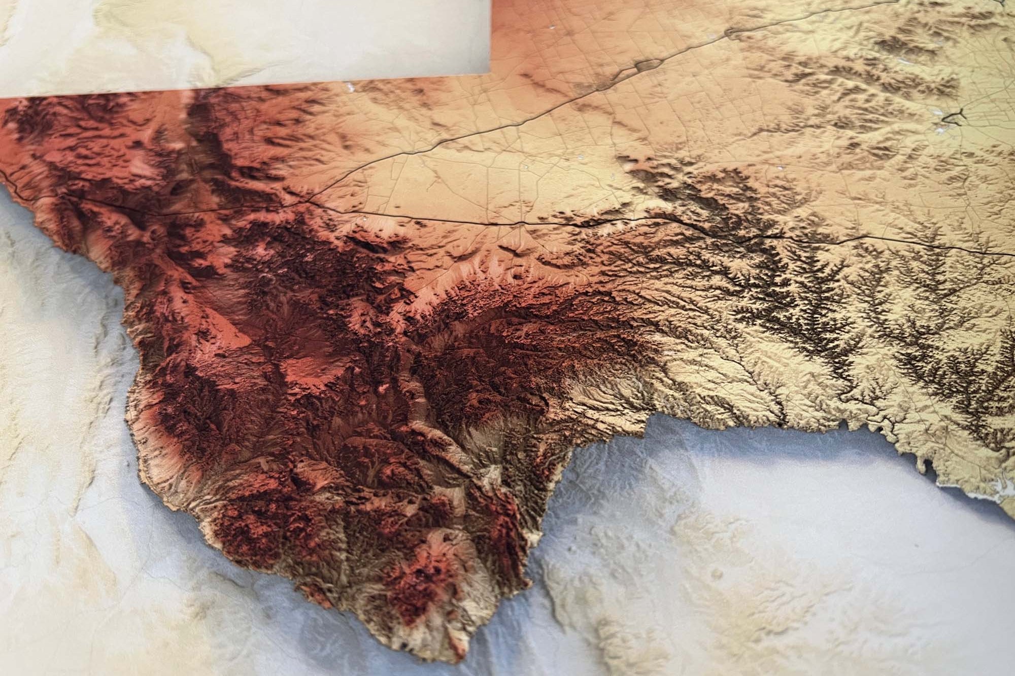
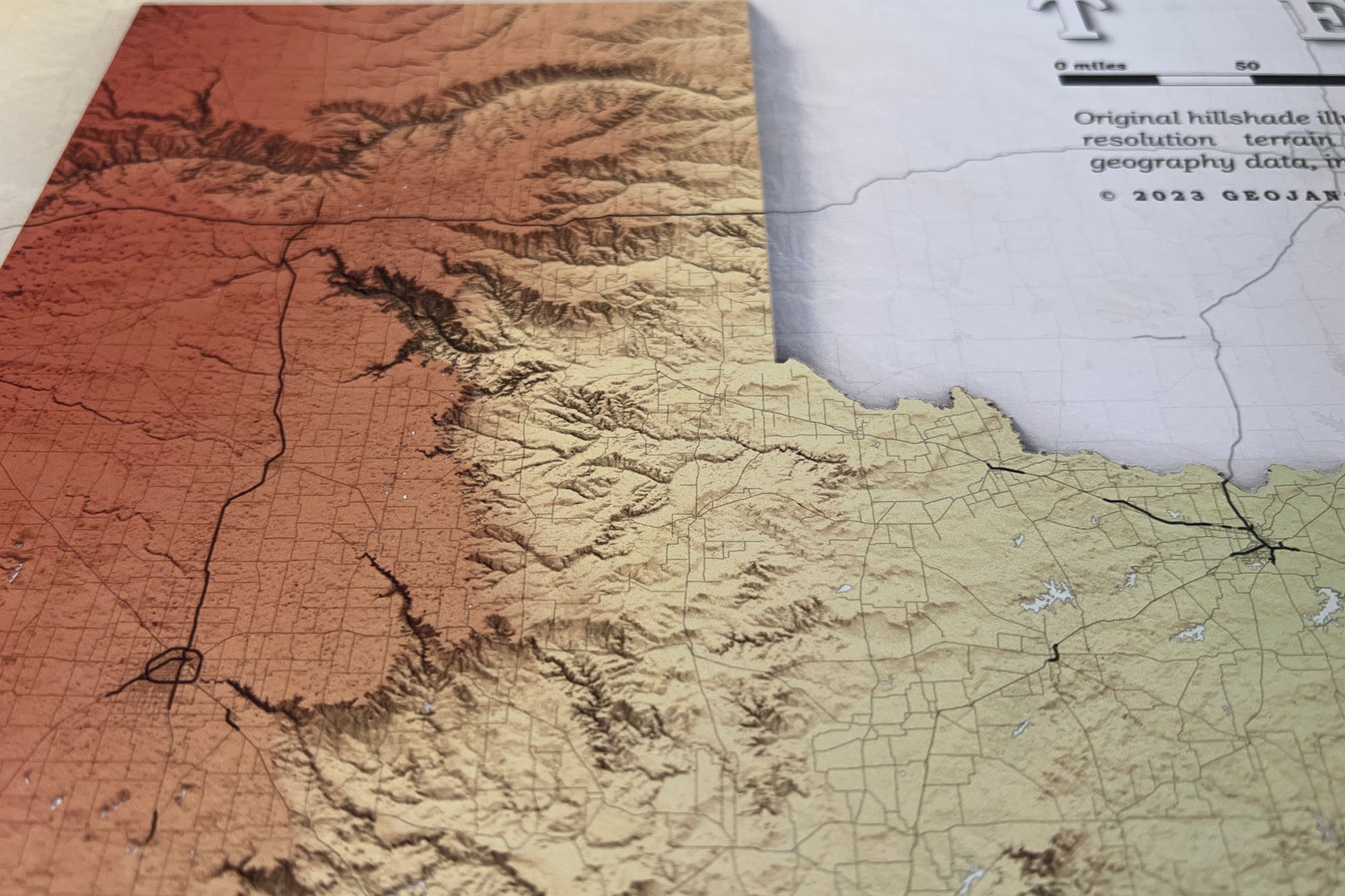
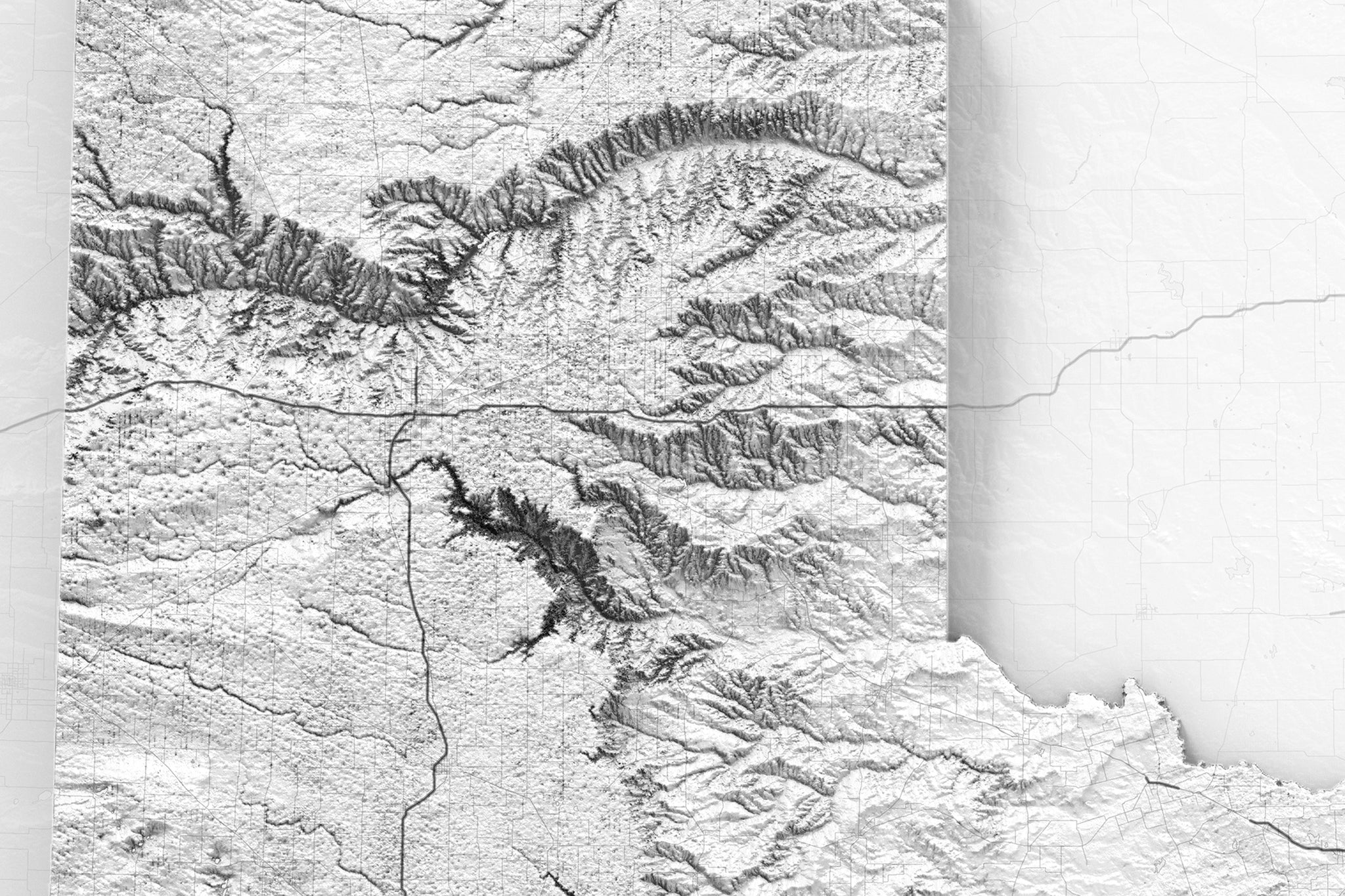
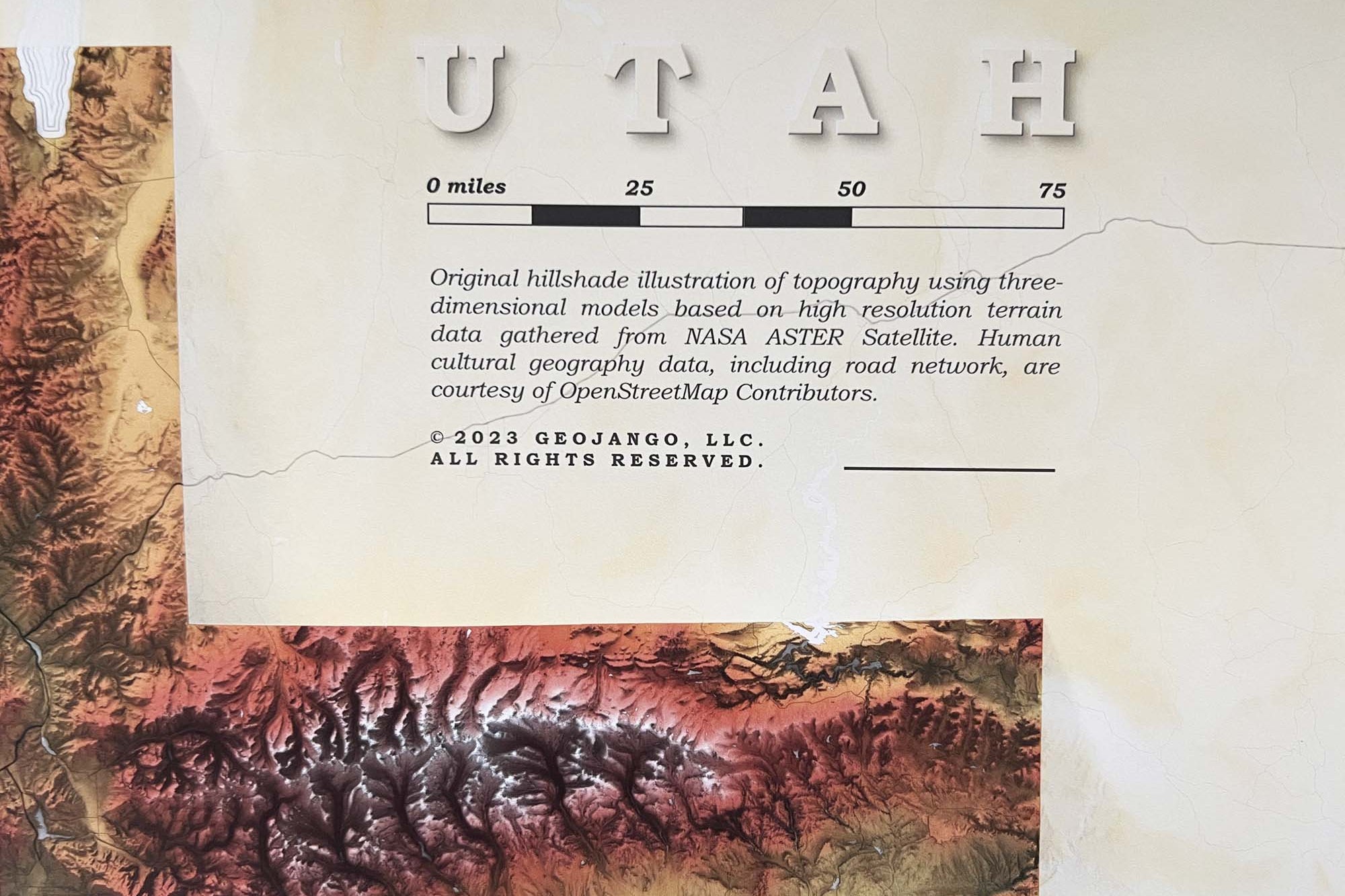
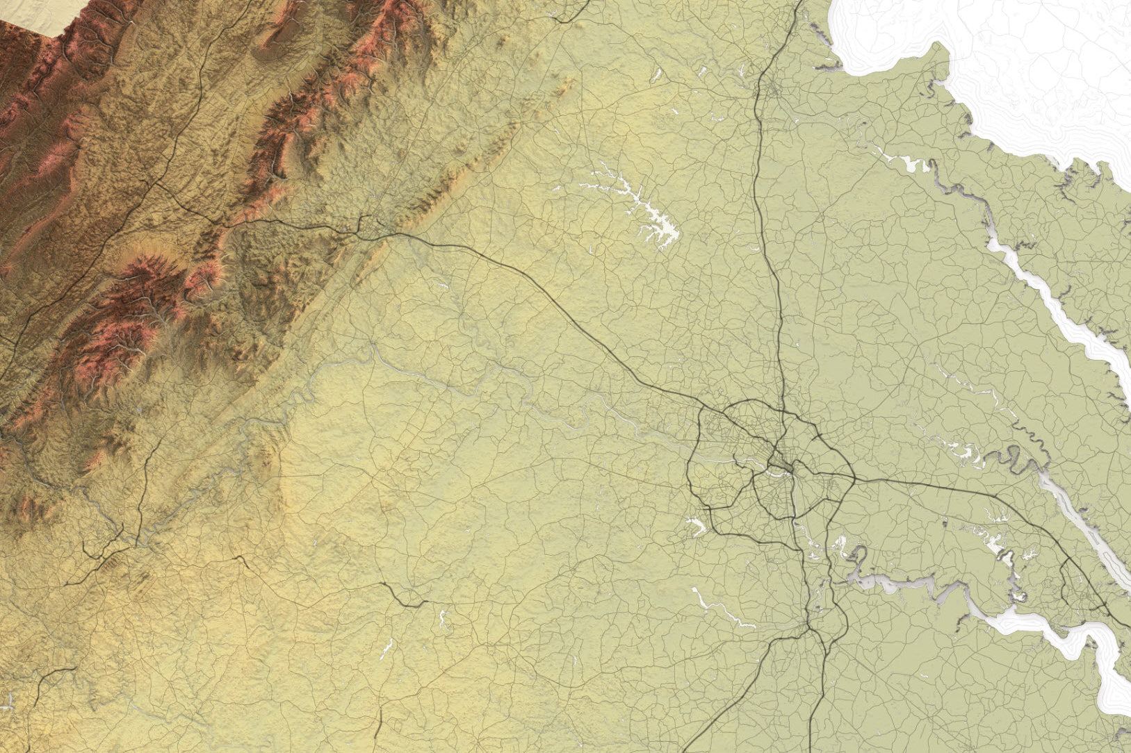
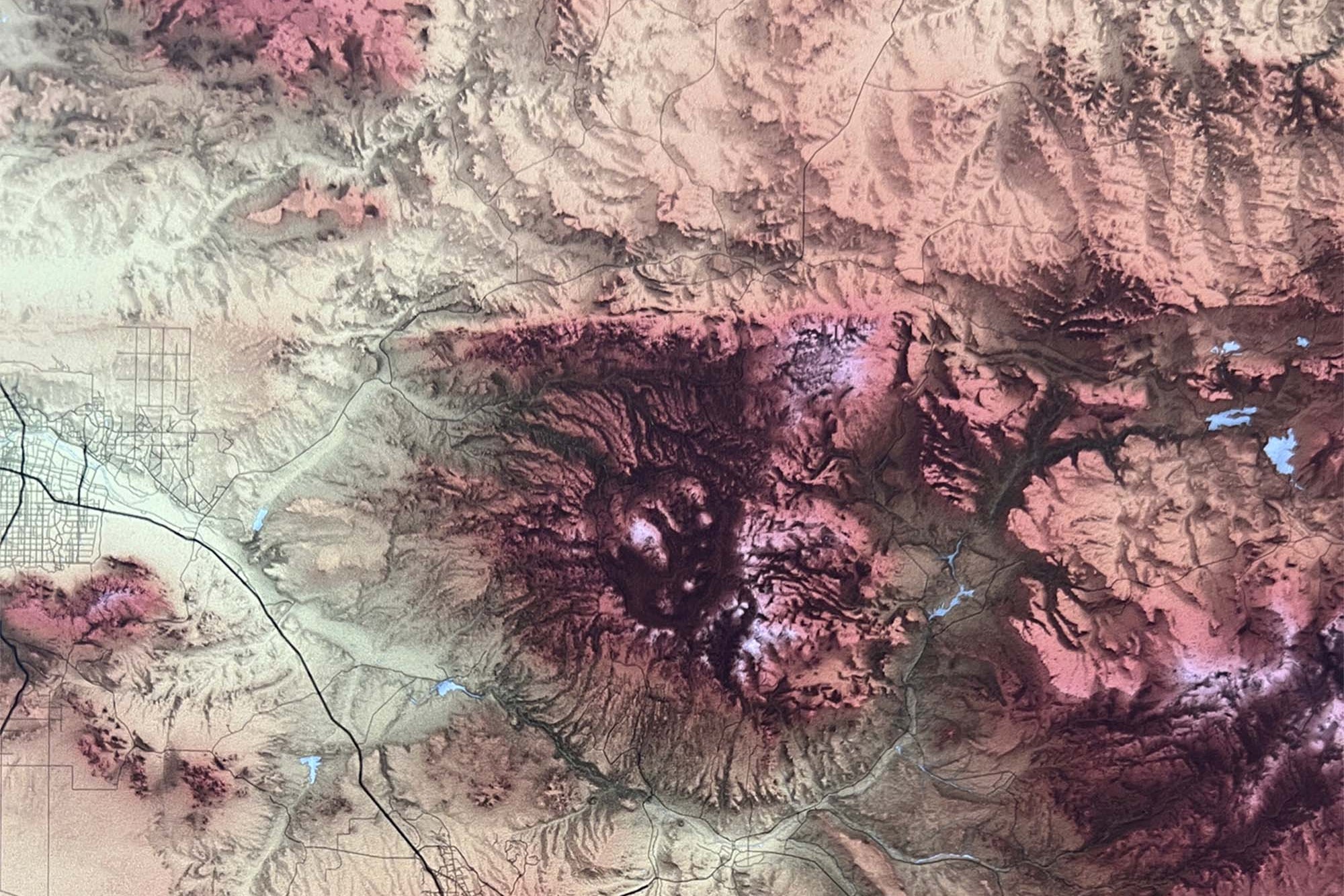
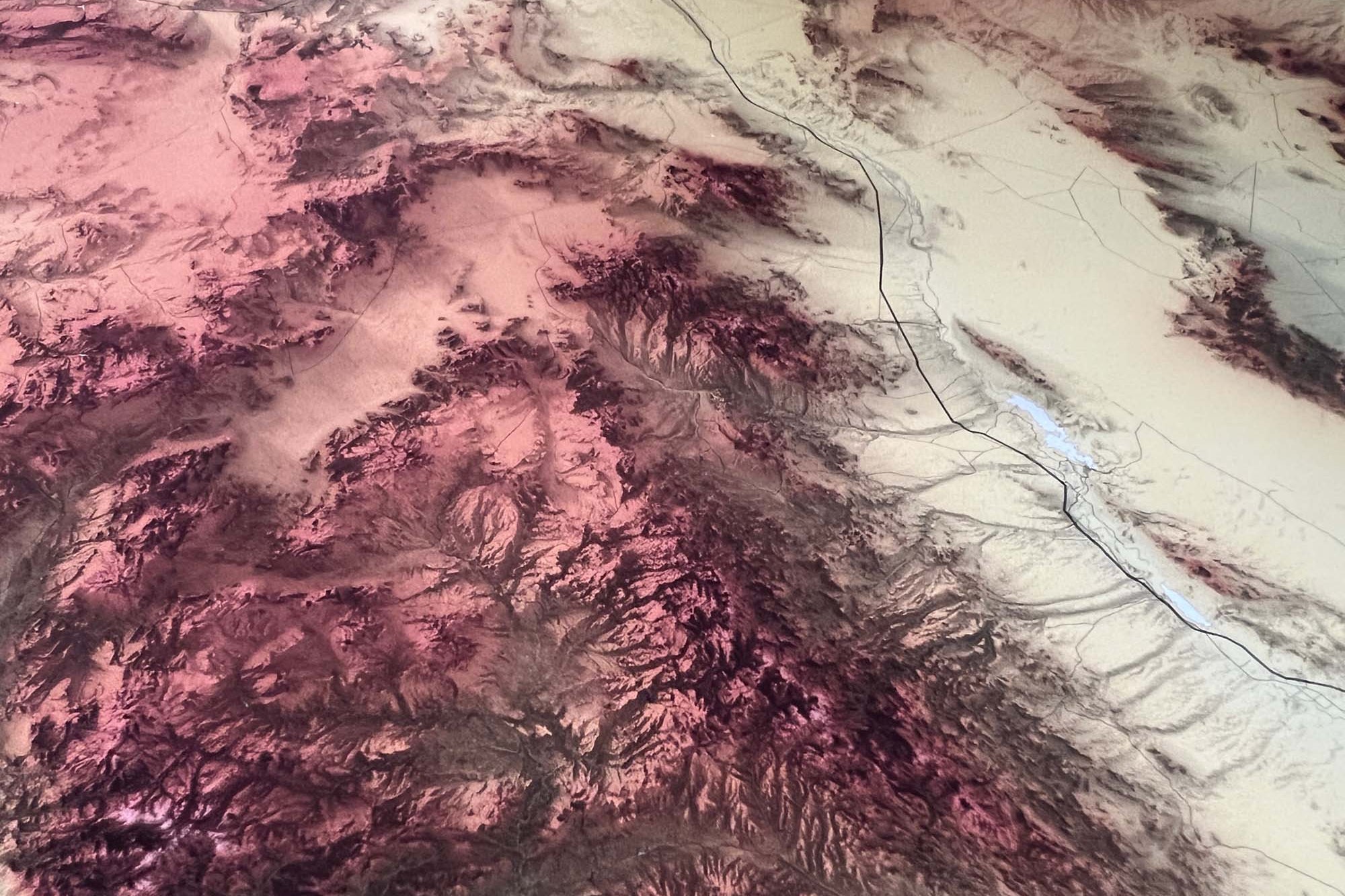
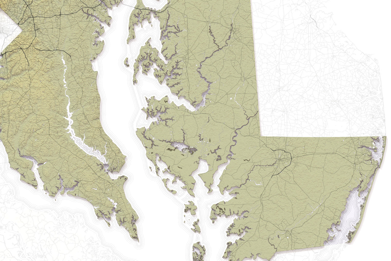
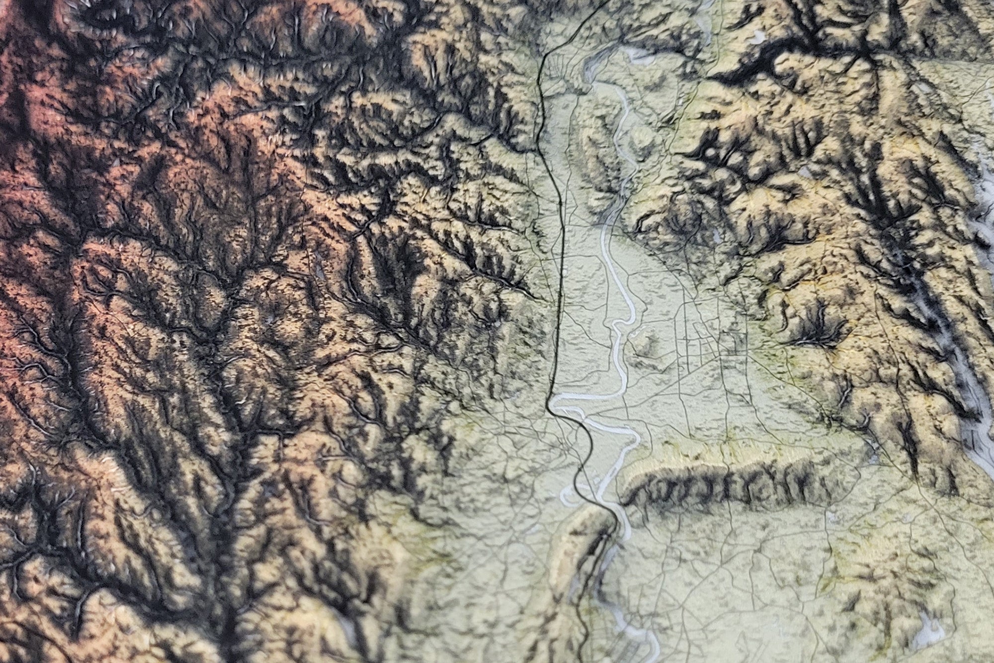
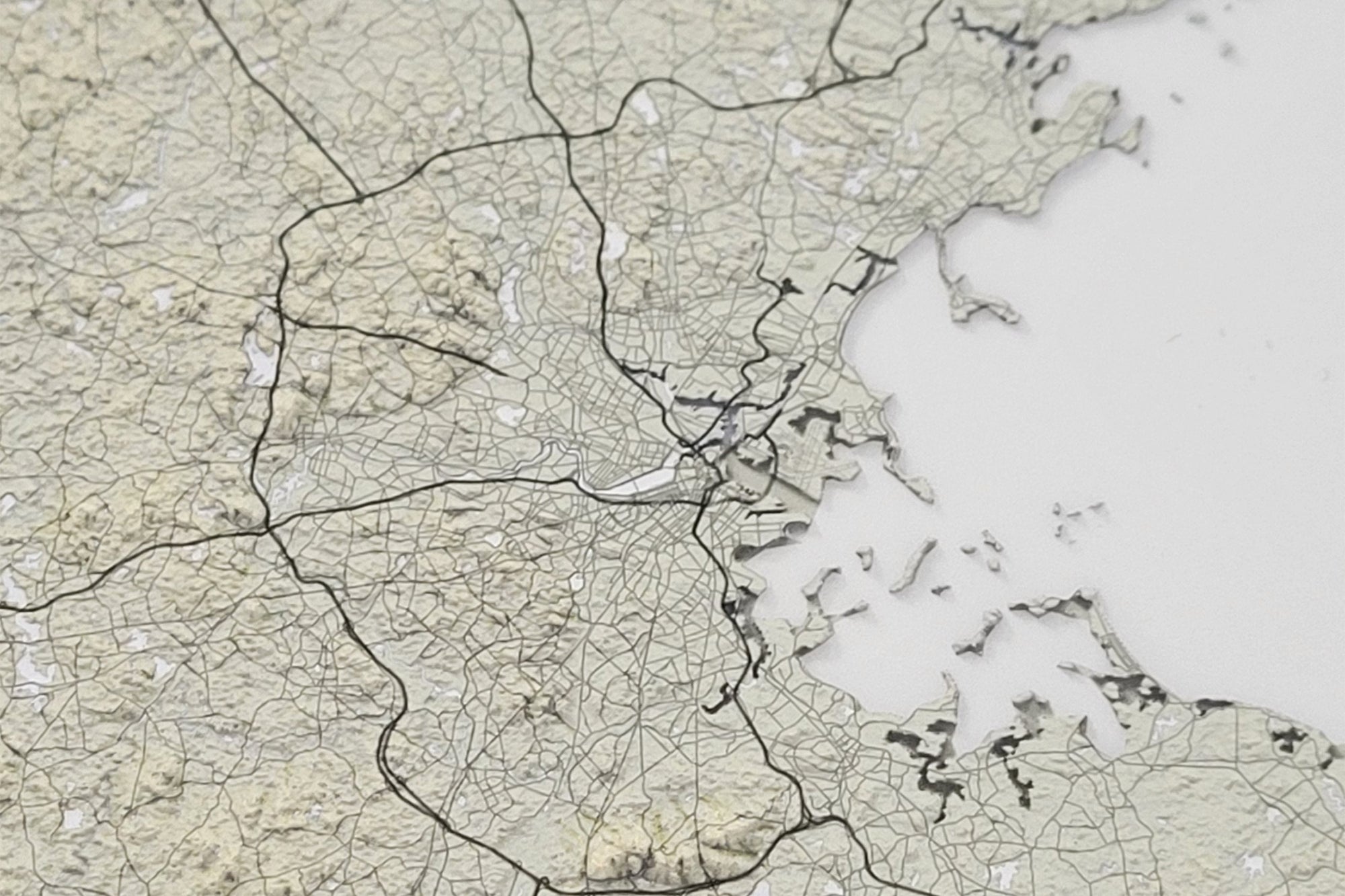
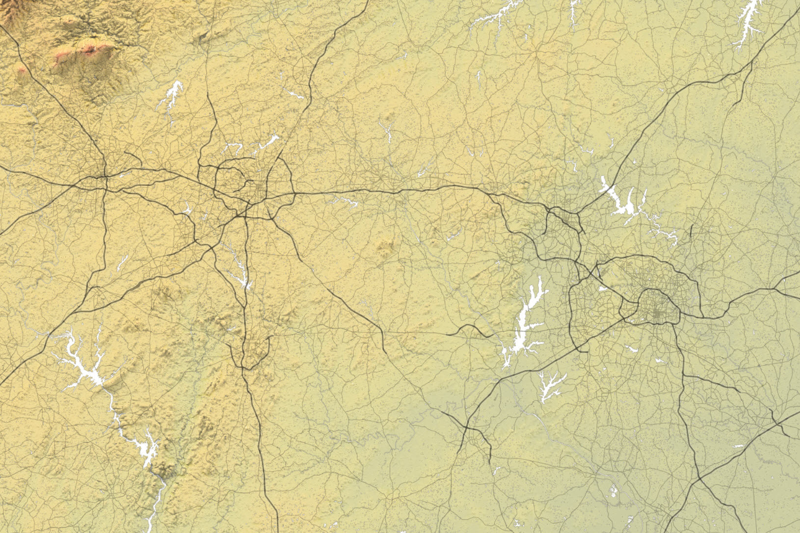
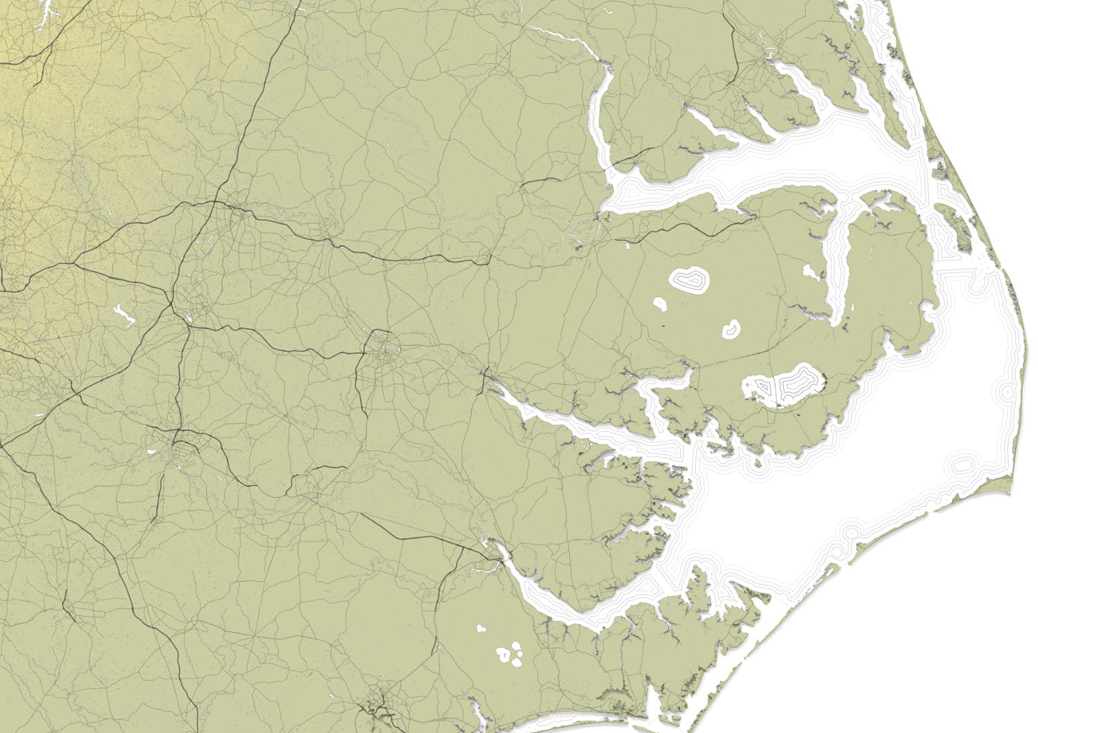
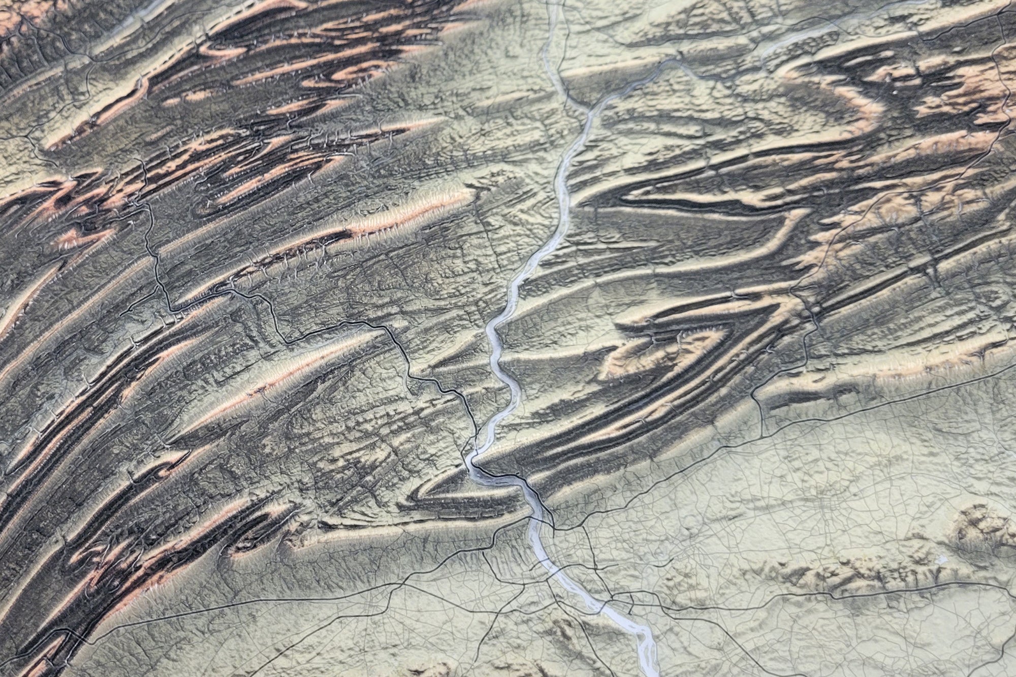
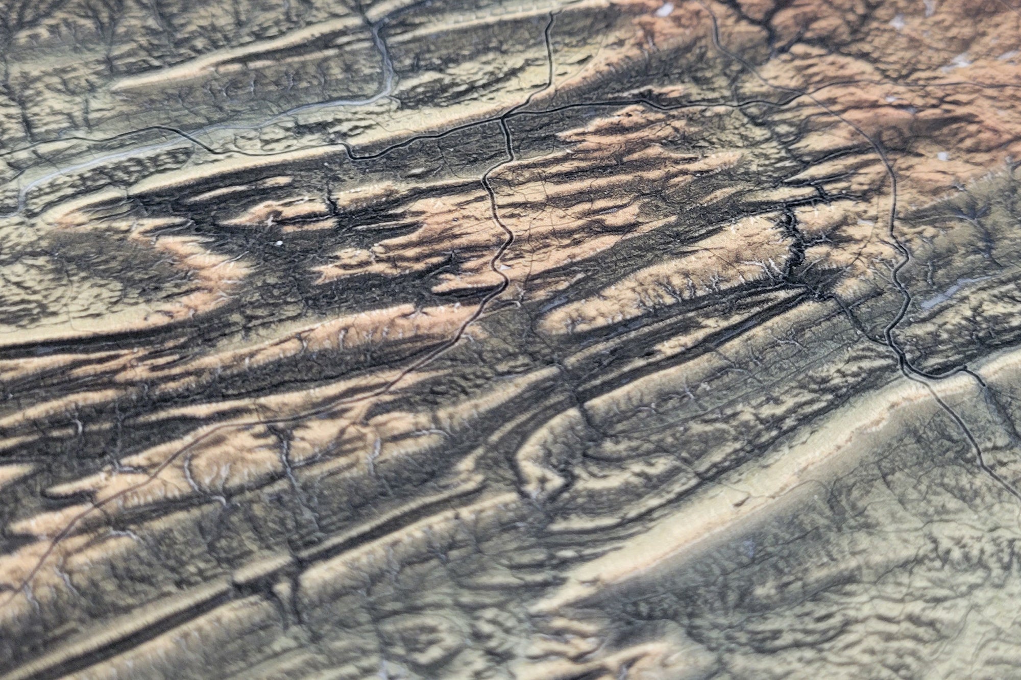
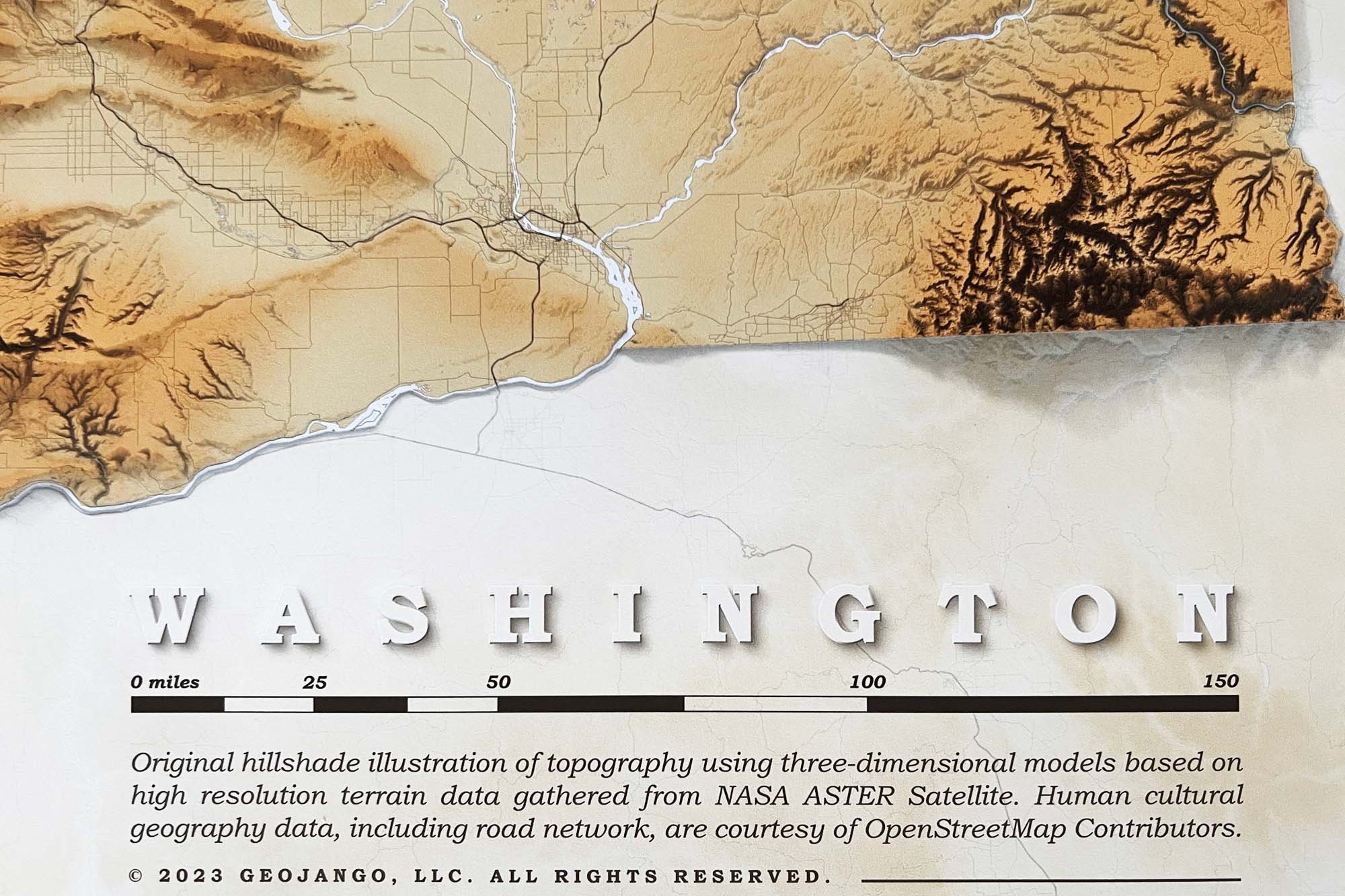
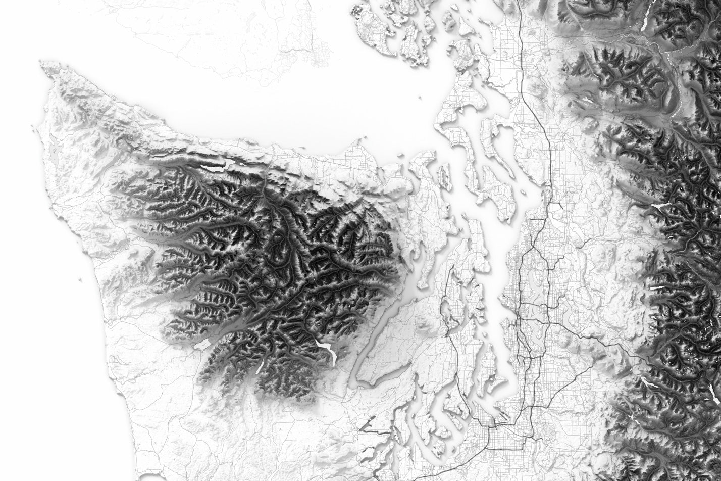
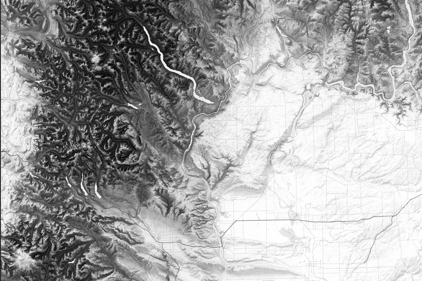
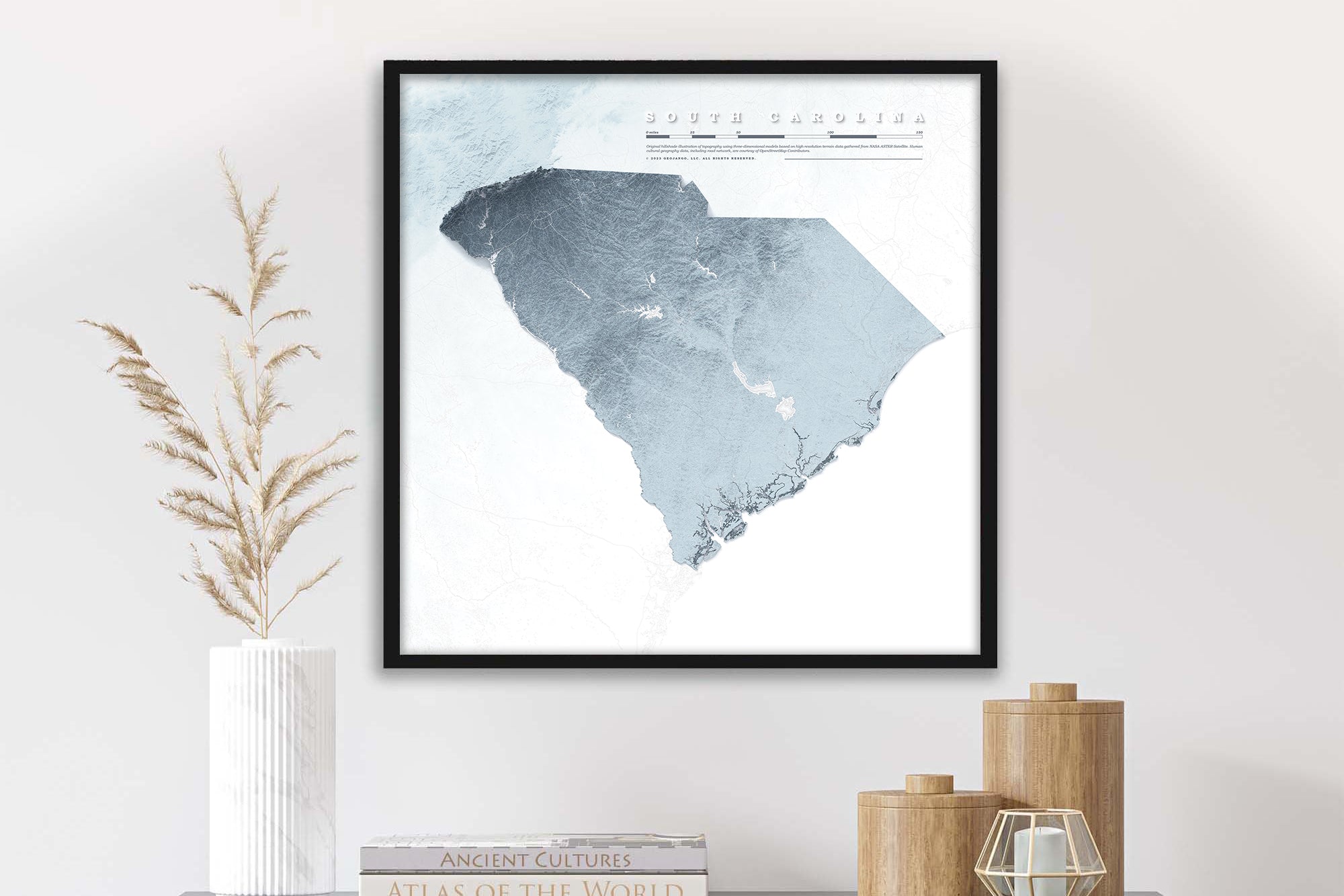
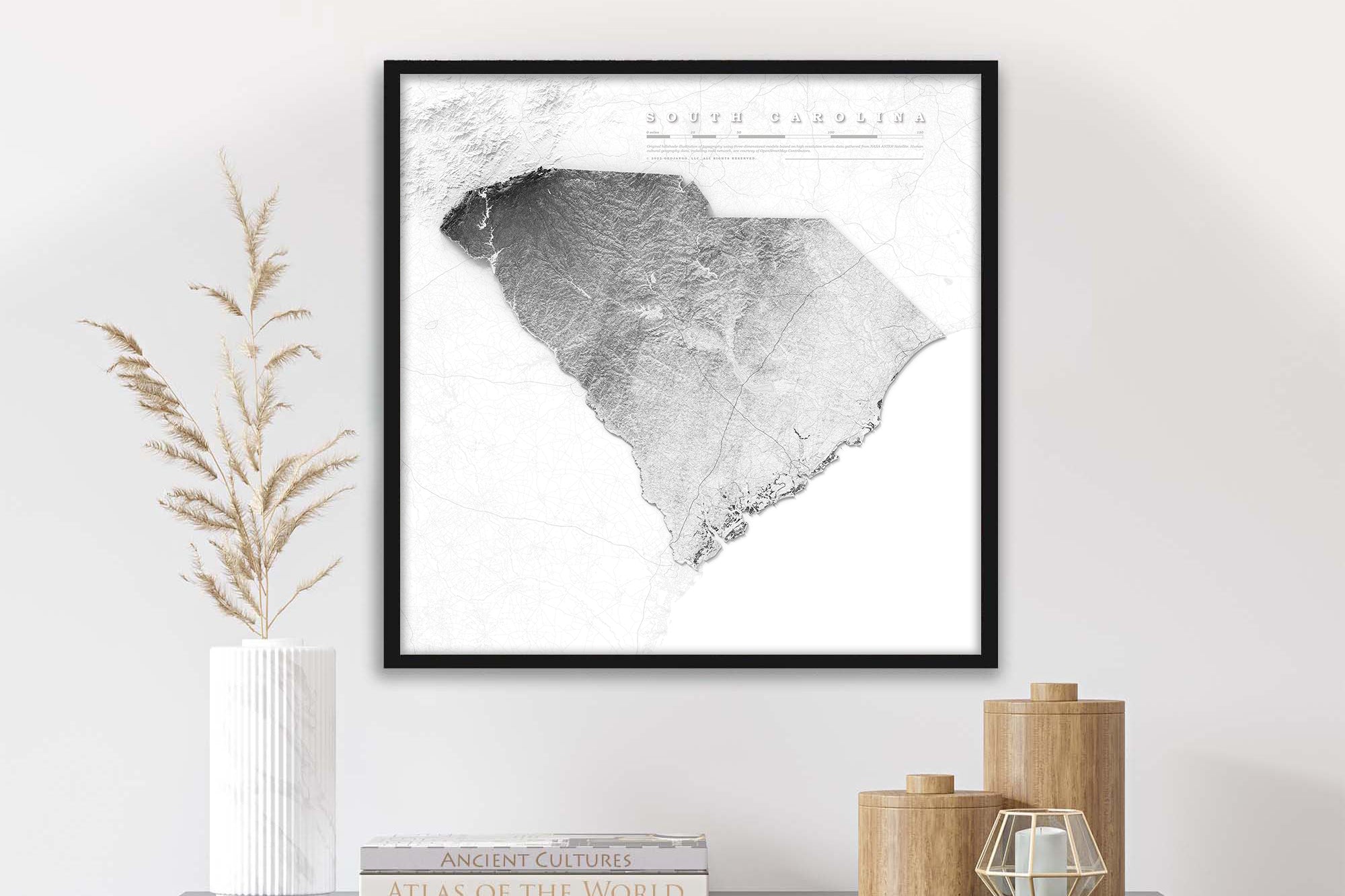
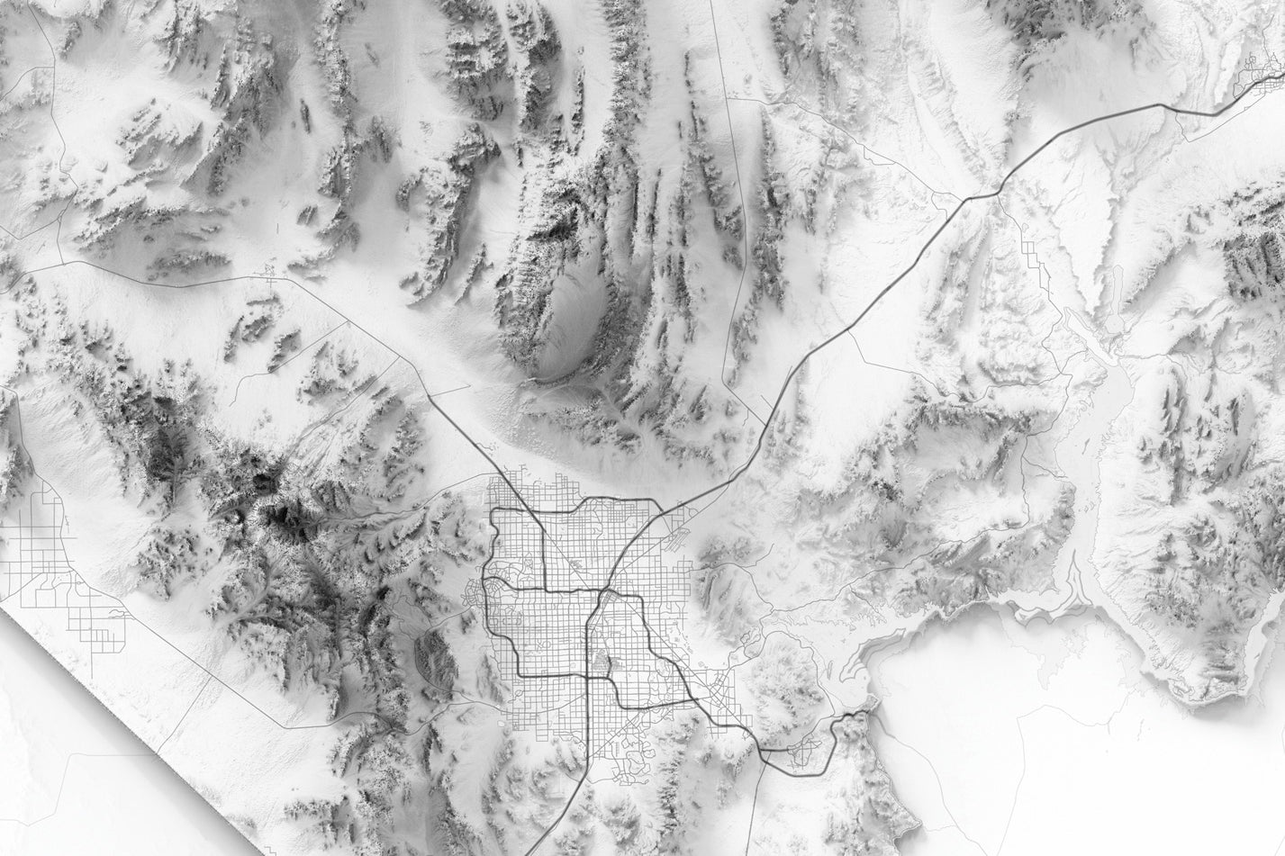
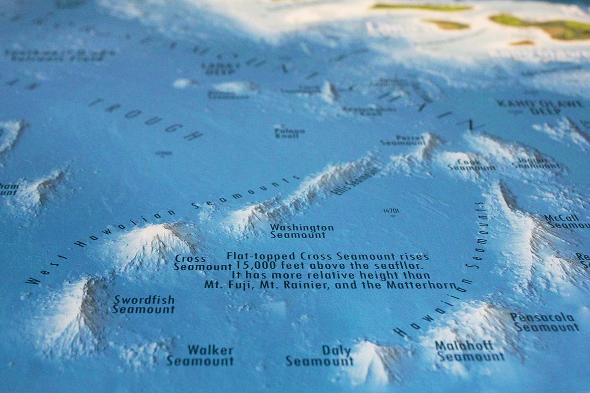
Geographical Information In Our State Relief Maps
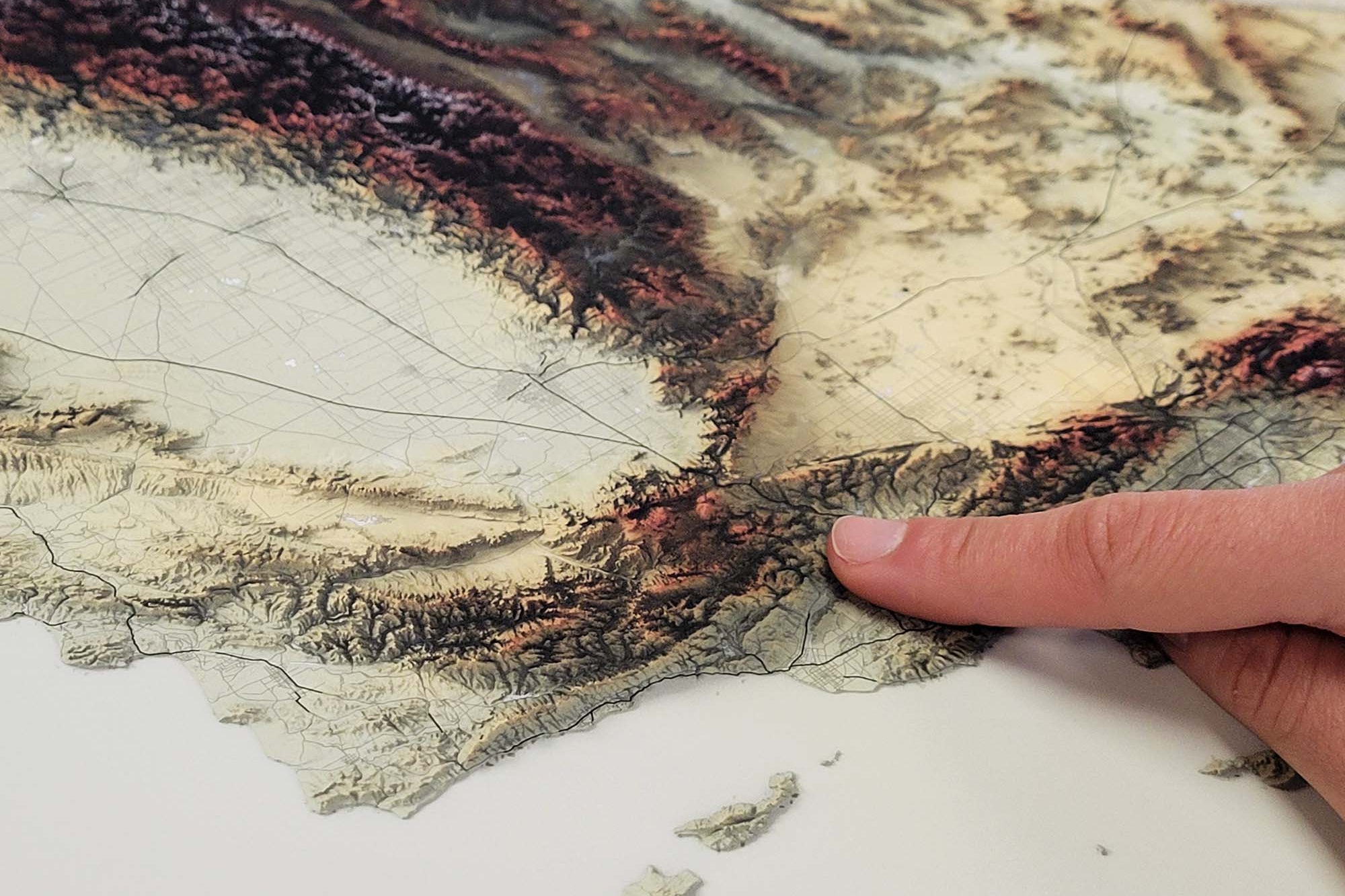
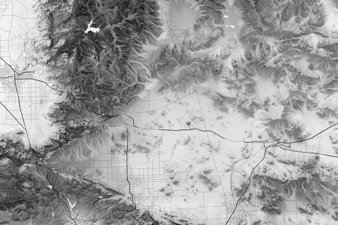
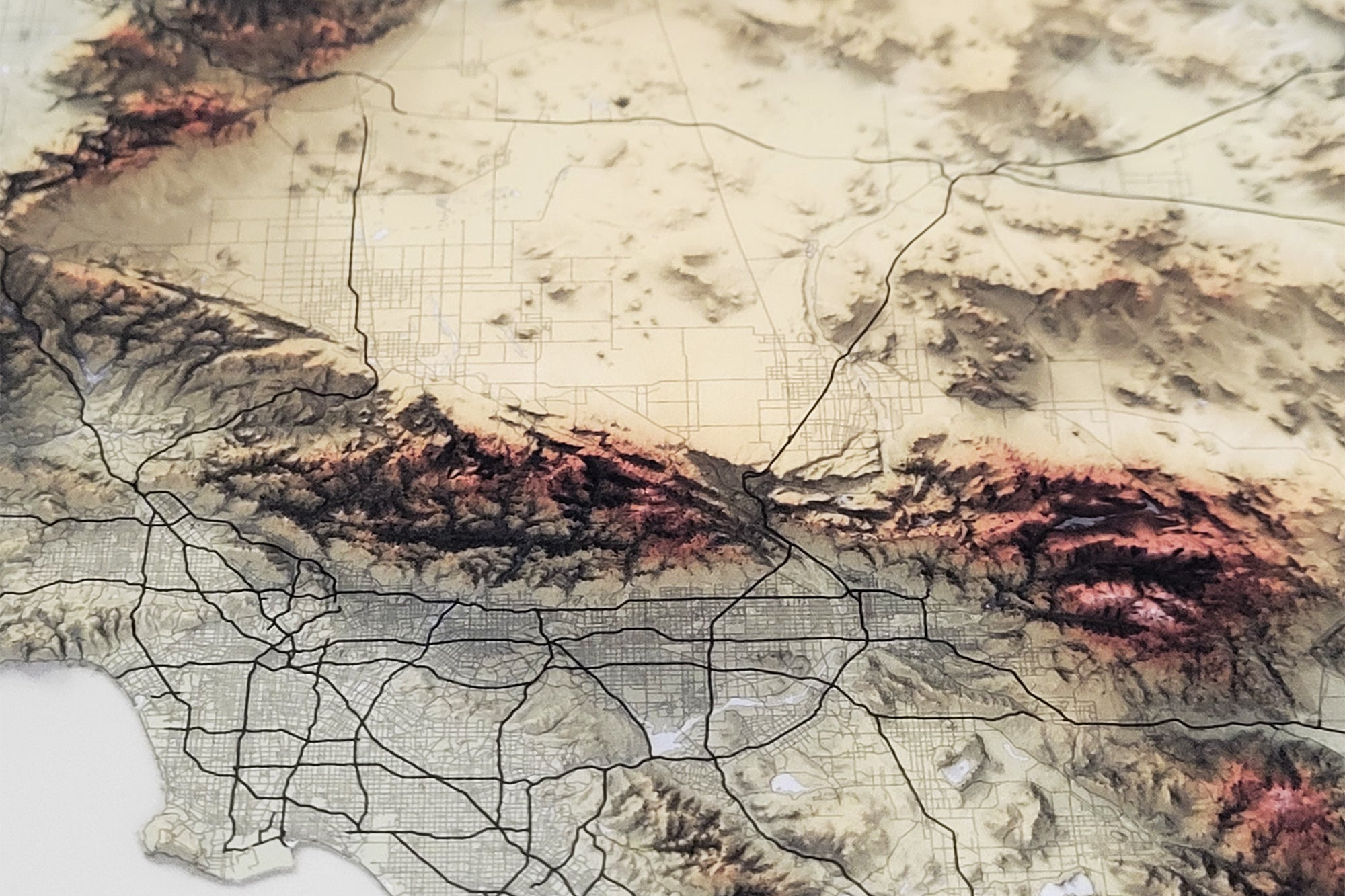
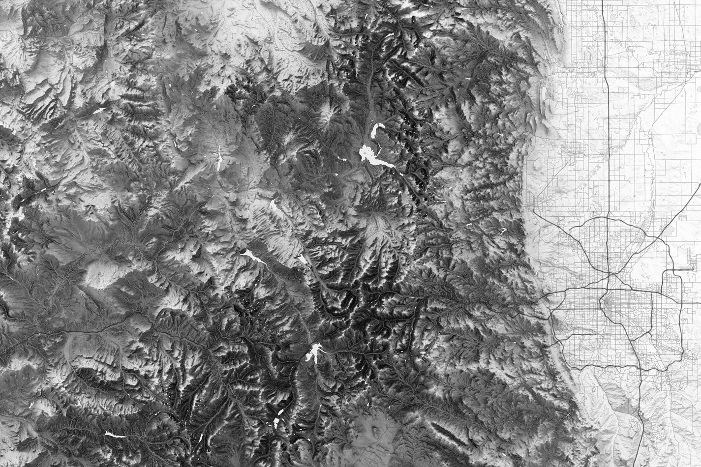
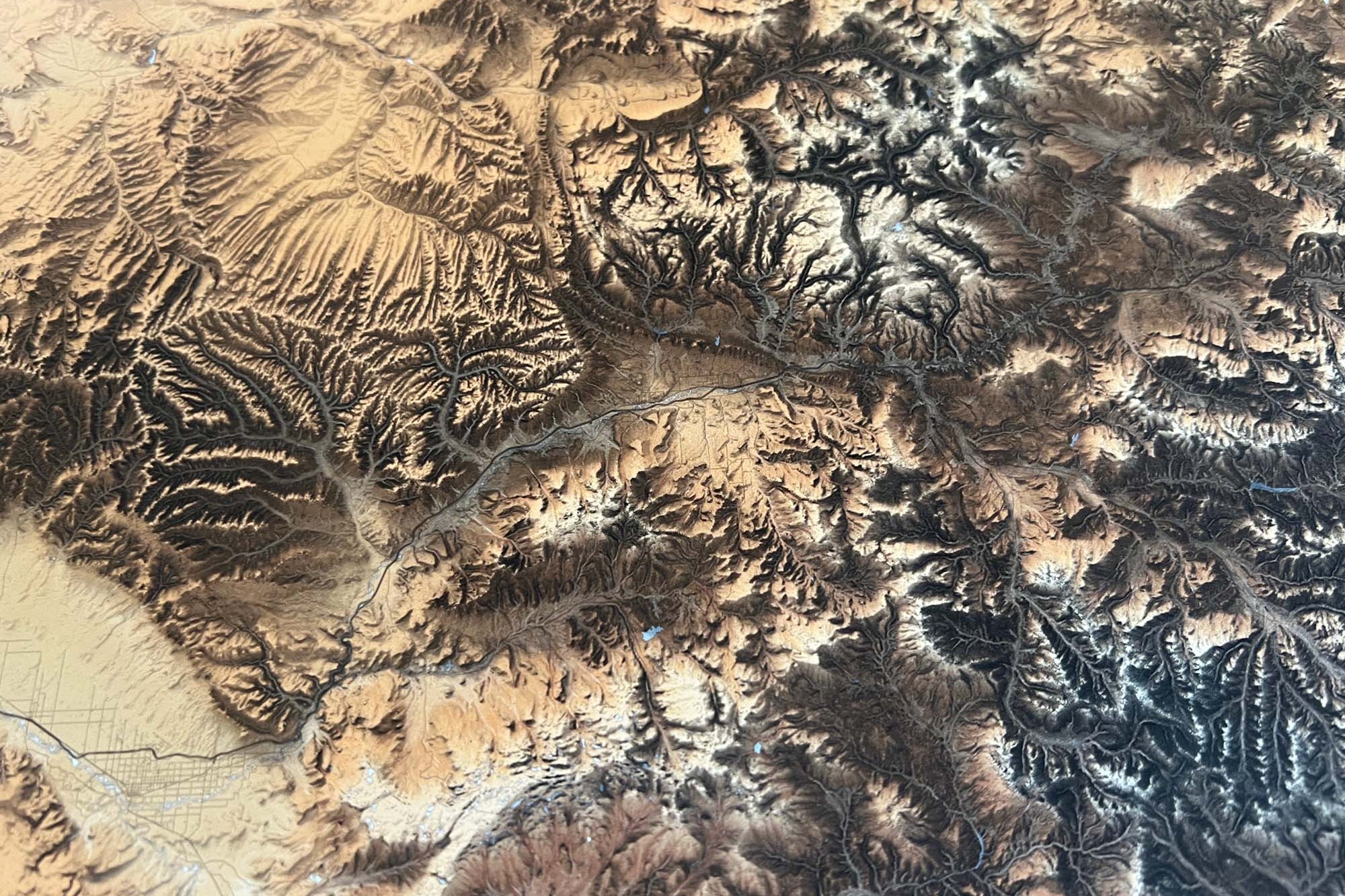
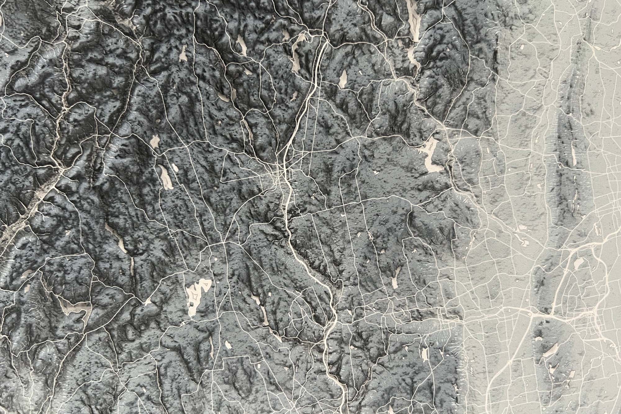
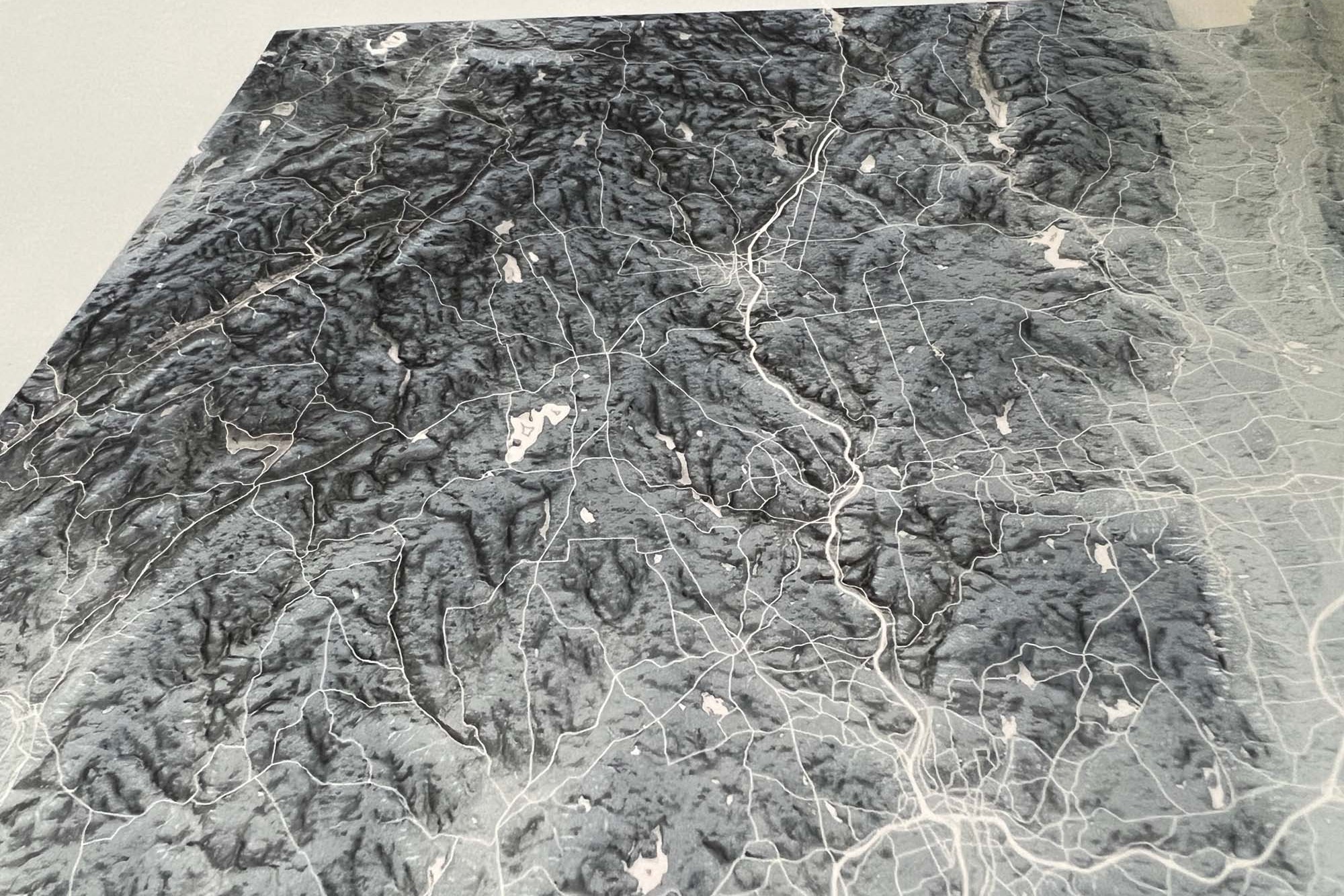
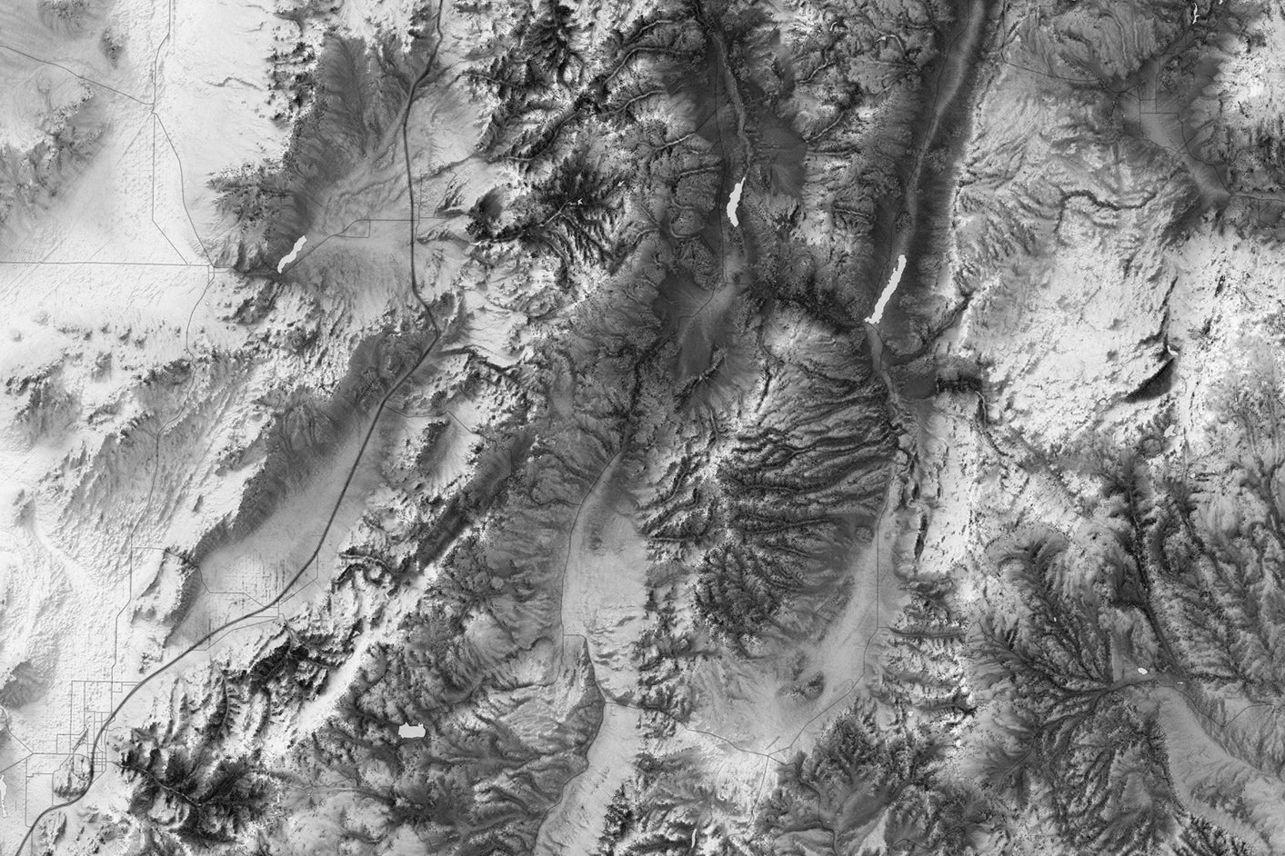
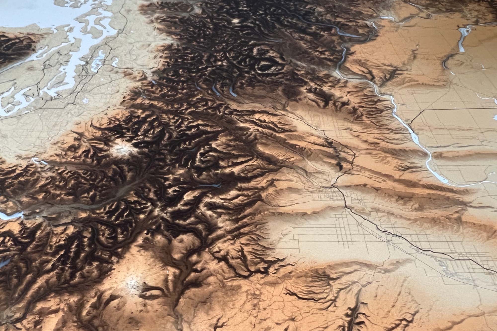
We use the USGS LandSat satellite to visualize the landscape on land to visualize the elevation and topography of the sea floor. The famous Space Shuttle Radiometric Topographic Mission, SRTM Data, is used to gather the elevation height for the land. With the data, we applied a hill shade to visualize the shading effects (at 3 p.m. every where on Earth). This is most visible in the largest mountain regions.
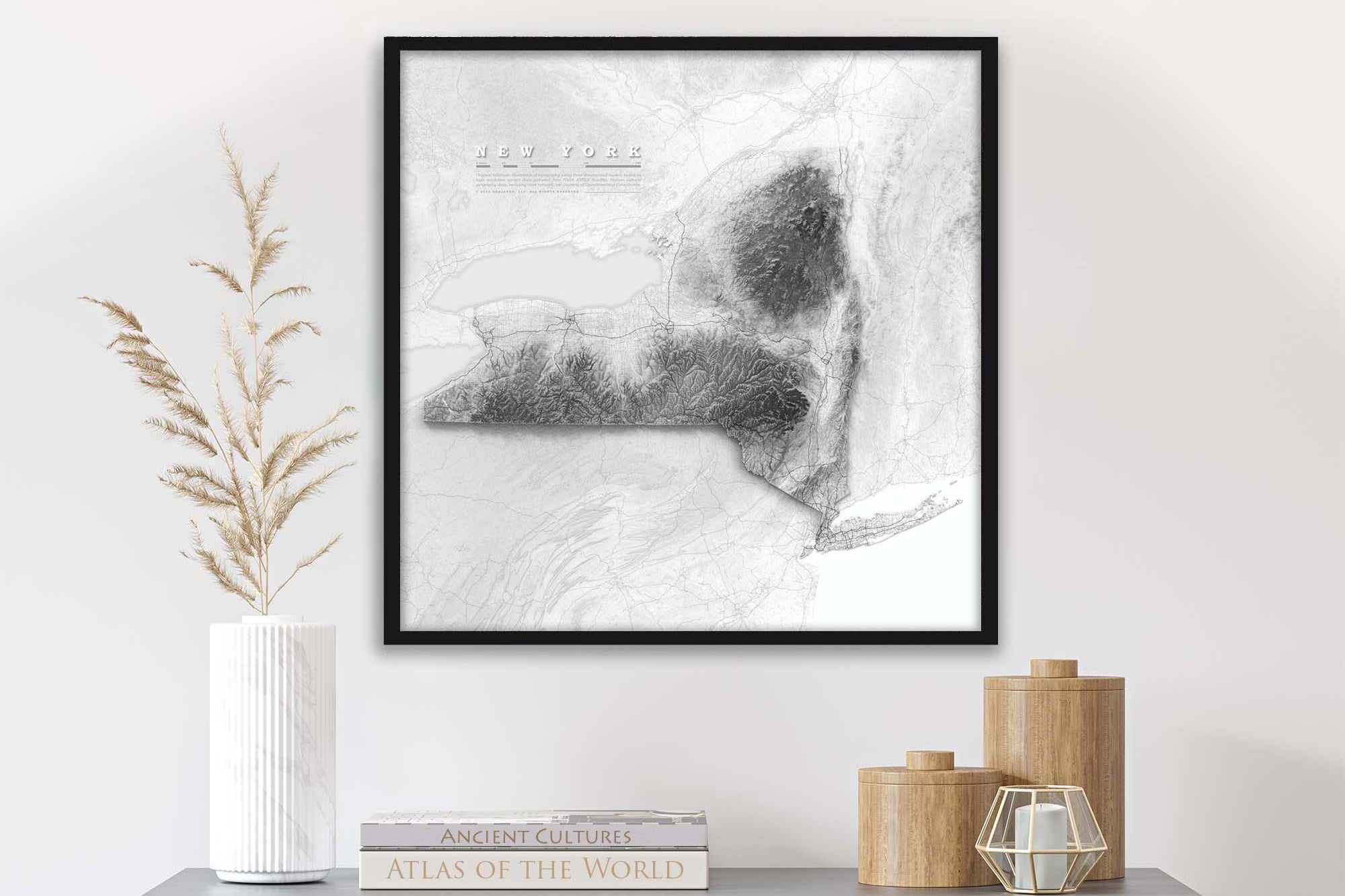
Shaded Relief National Park Maps
Also Checkout our Shaded Relief Maps
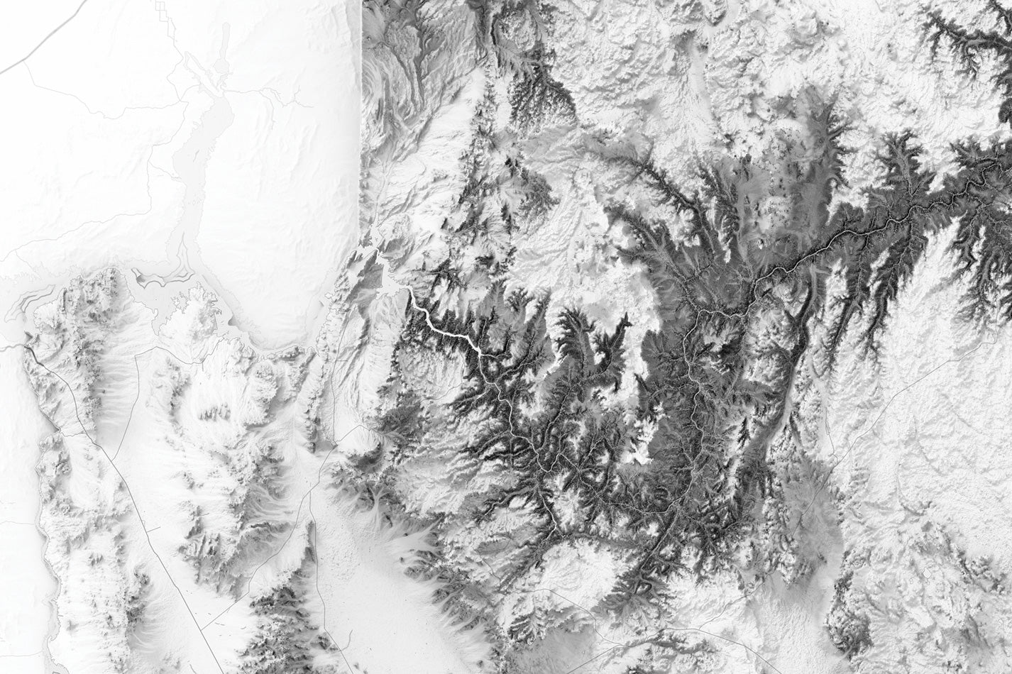
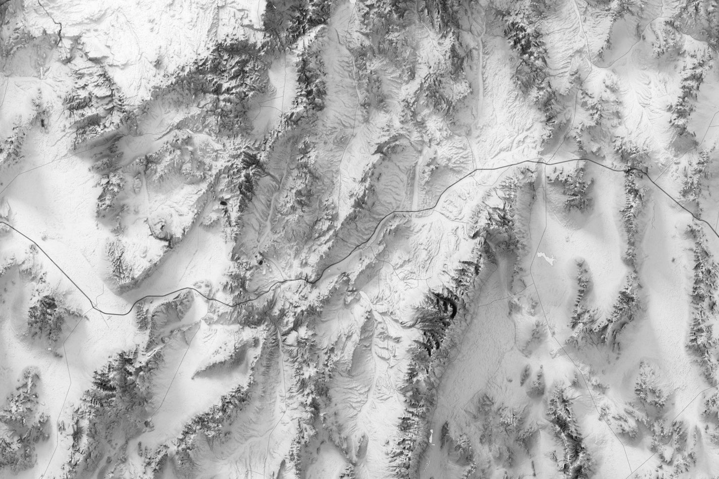
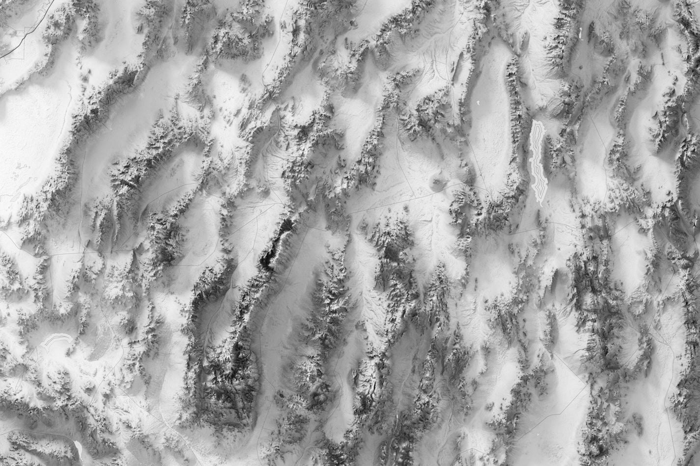
Shaded relief maps are a type of topographic map that uses different shades of color and light to represent the shape and elevation of the Earth's surface. These map are designed to give a realistic representation of the land surface by simulating the effect of light and shadow on the terrain.
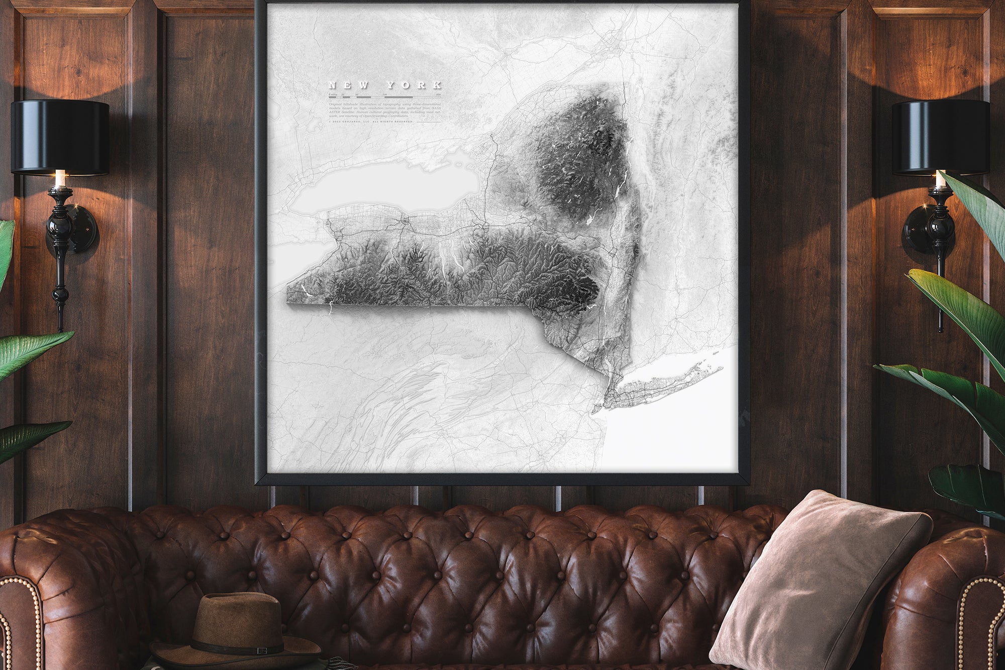
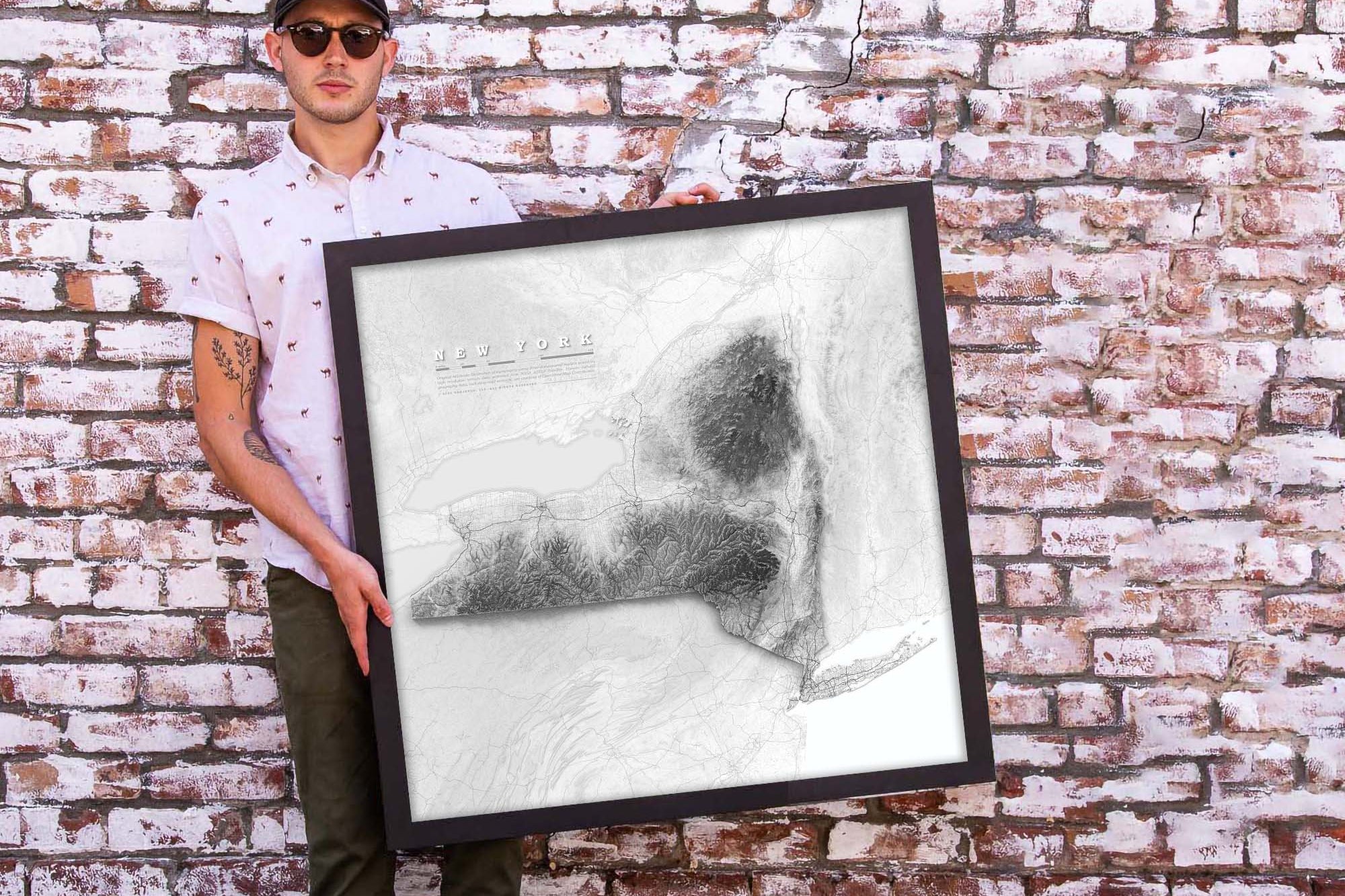
Shaded Relief States Maps
Also Checkout our Shaded Relief Maps
Shaded relief maps are a type of topographic map that uses different shades of color and light to represent the shape and elevation of the Earth's surface. These map are designed to give a realistic representation of the land surface by simulating the effect of light and shadow on the terrain.
Traveler Testimonials