


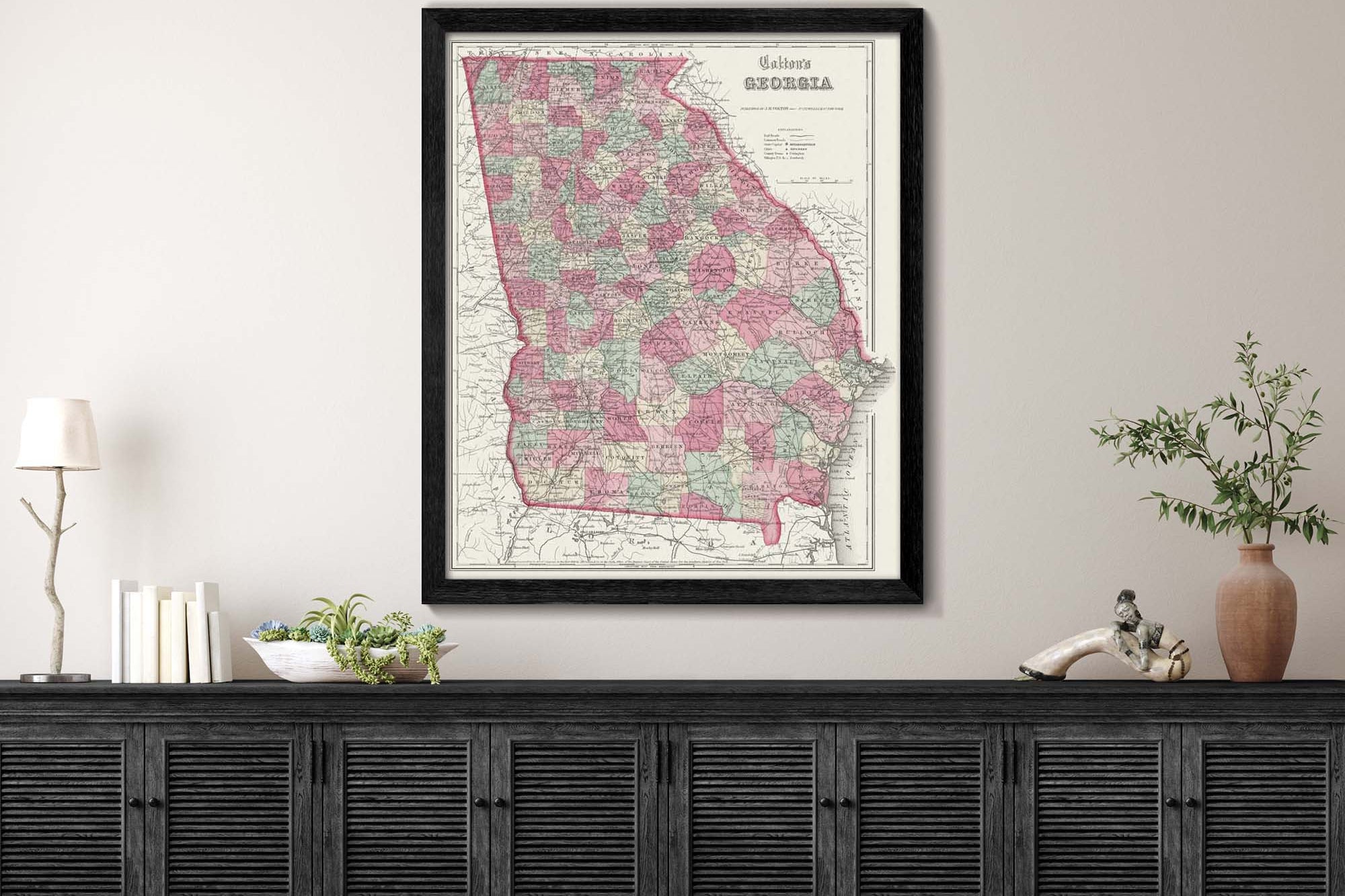
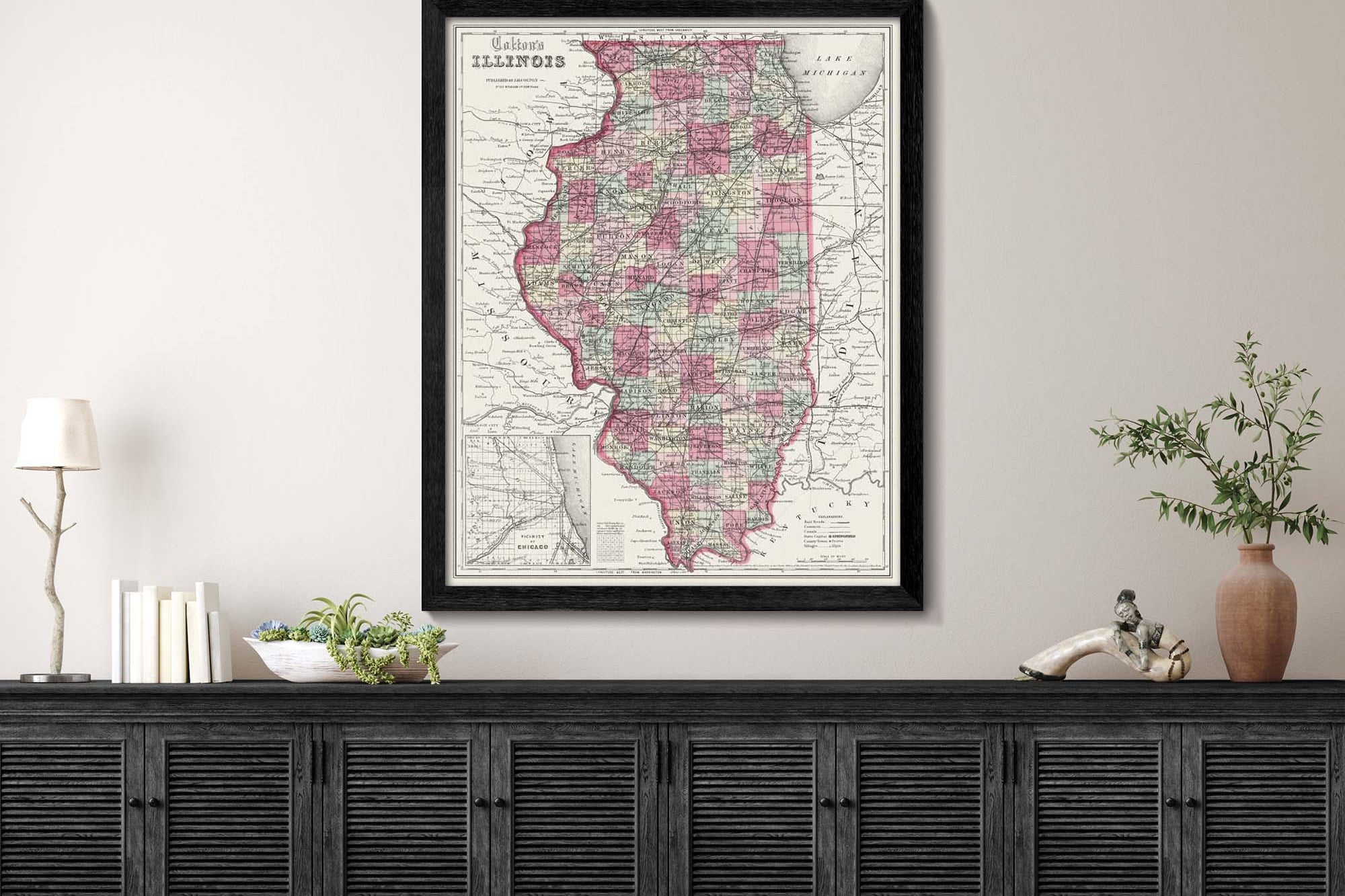
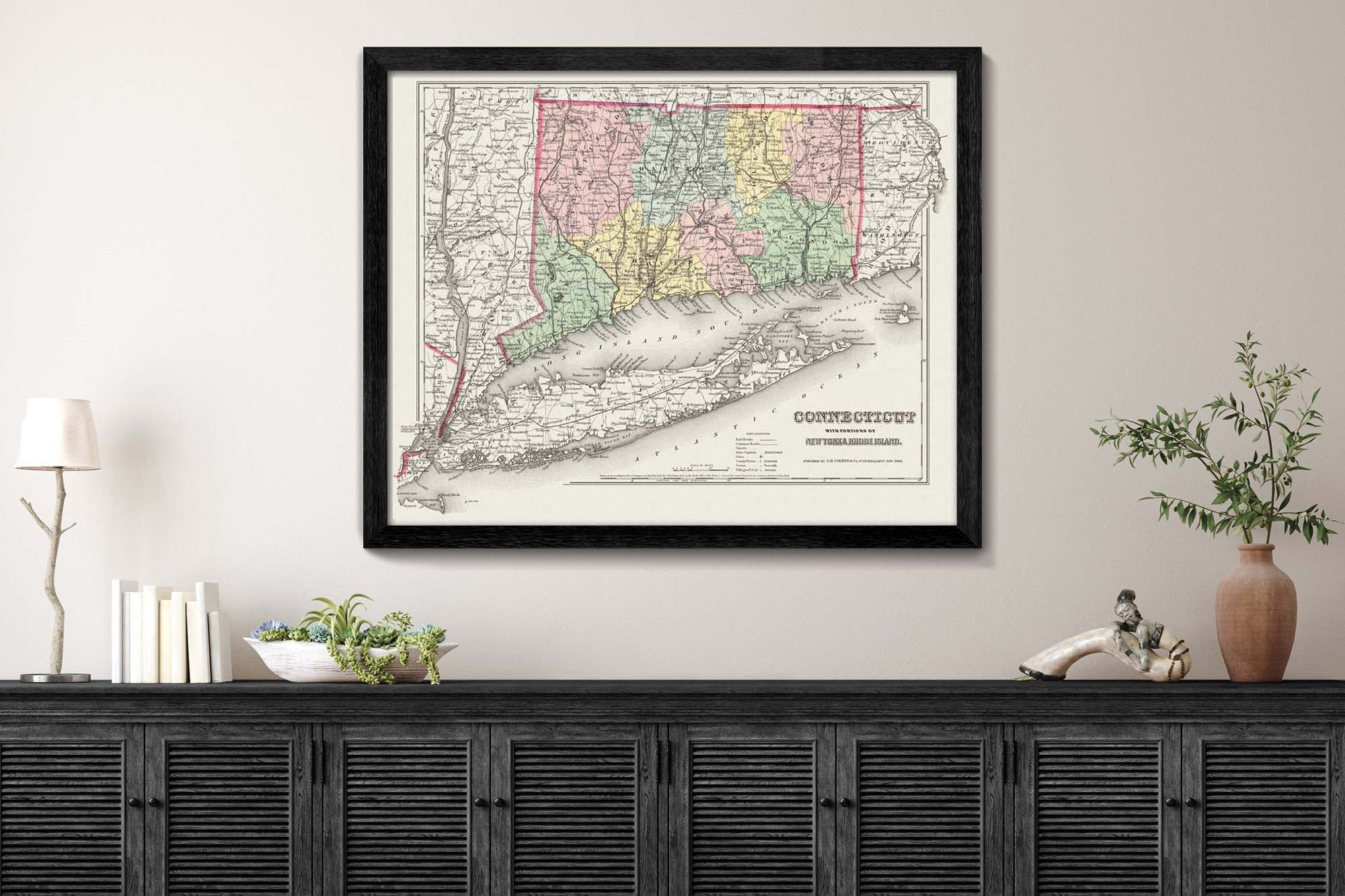
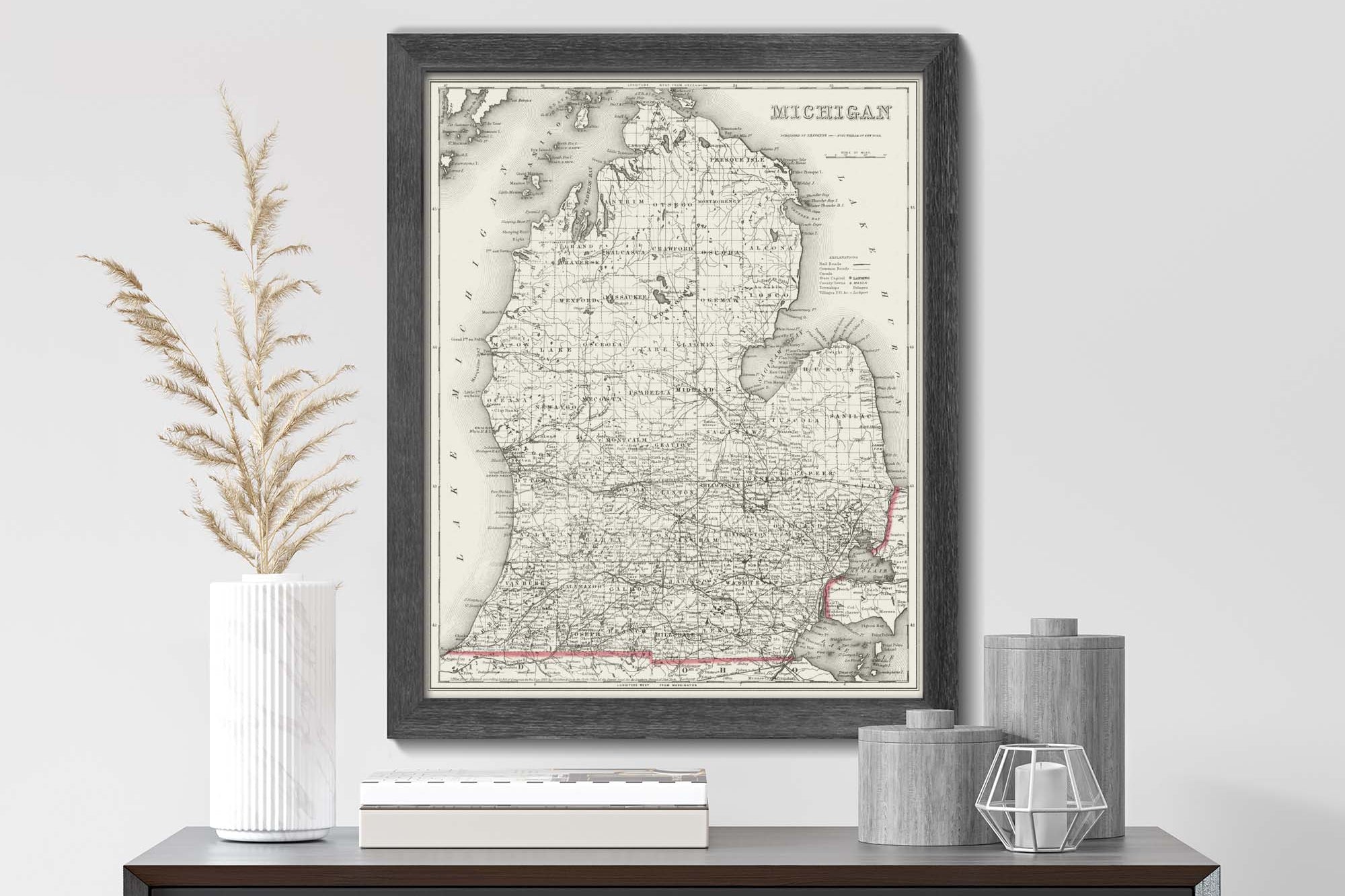
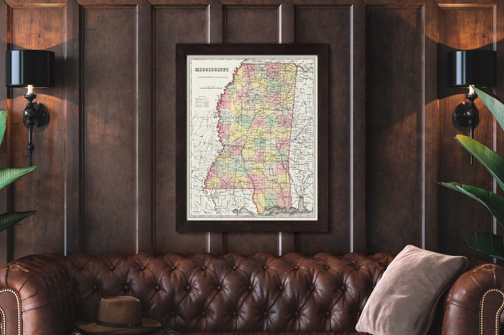
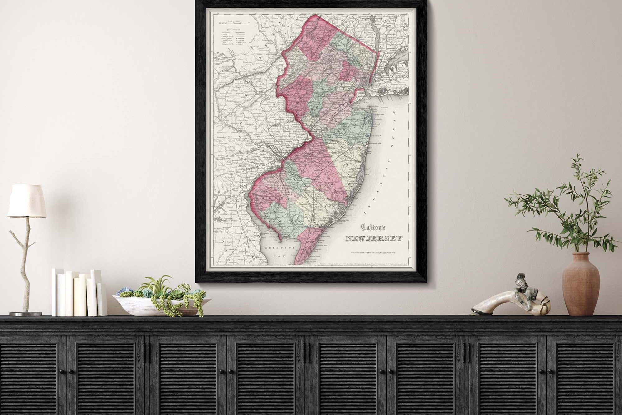
Our USA State Series is a collection of vintage US State Maps that have been restored just for you! These antique maps will make the perfect decor piece for your home or office.
Restored Historical Maps
Historical State Maps
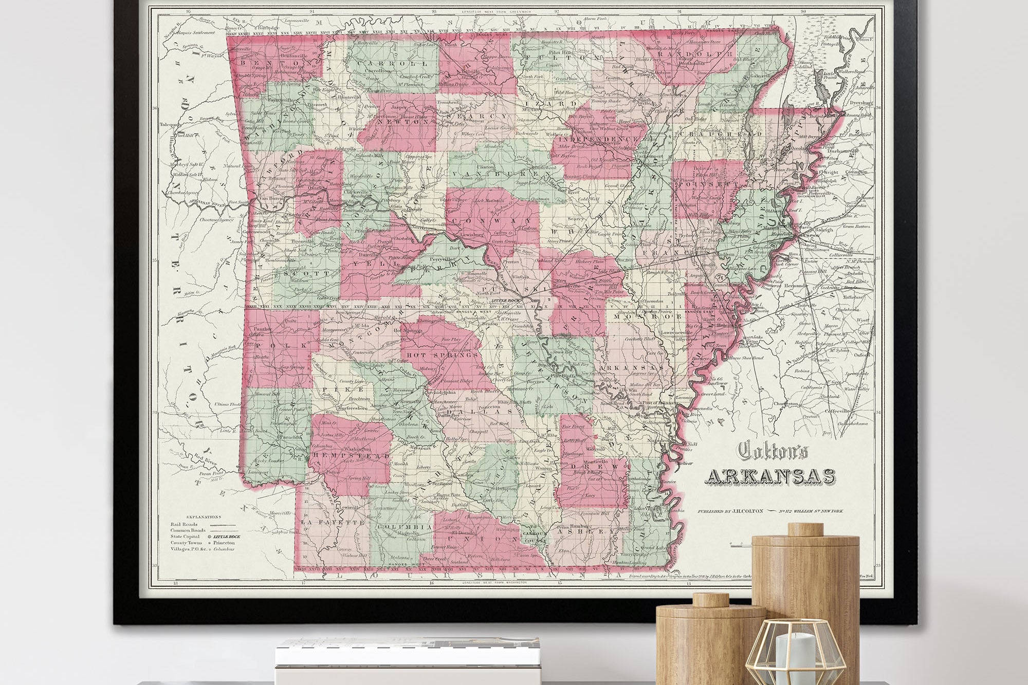
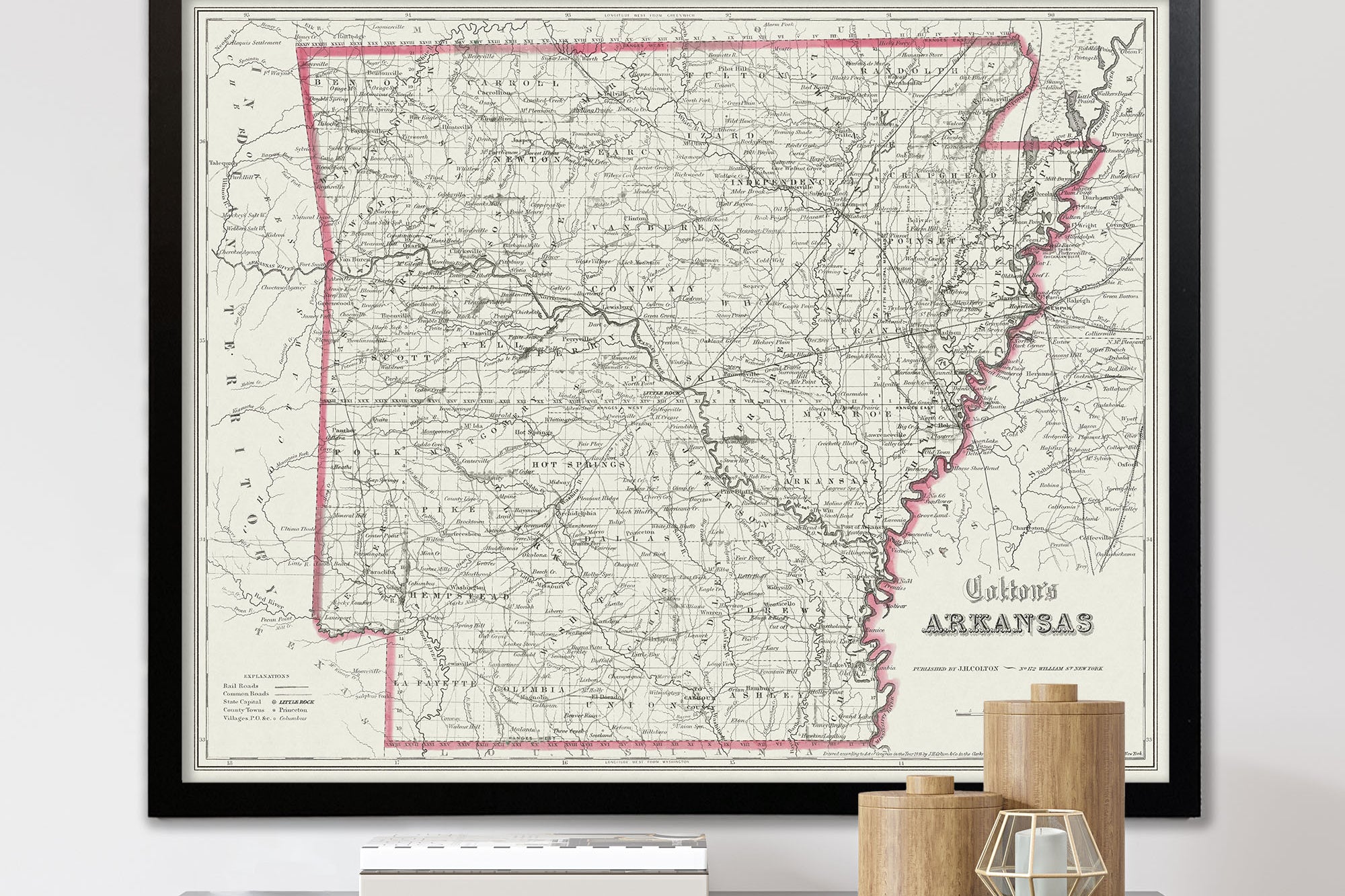
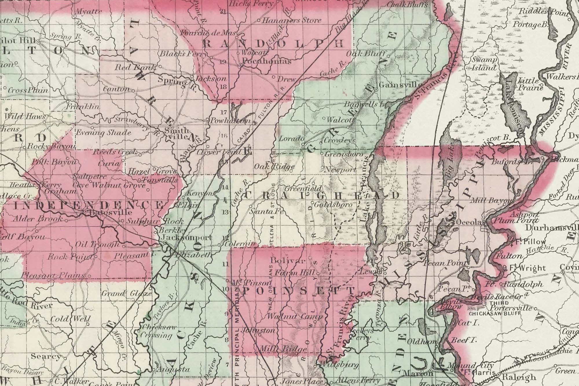
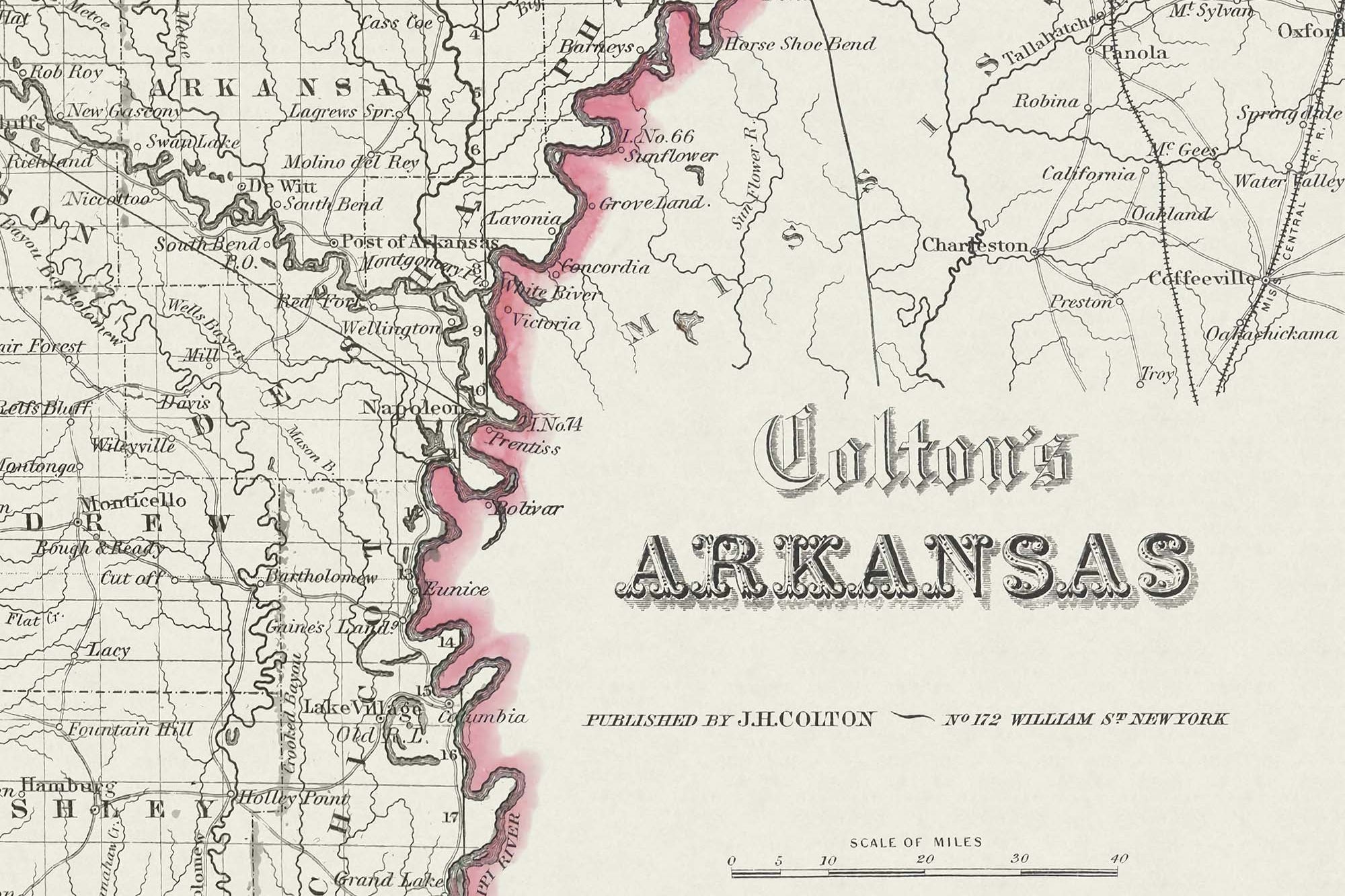
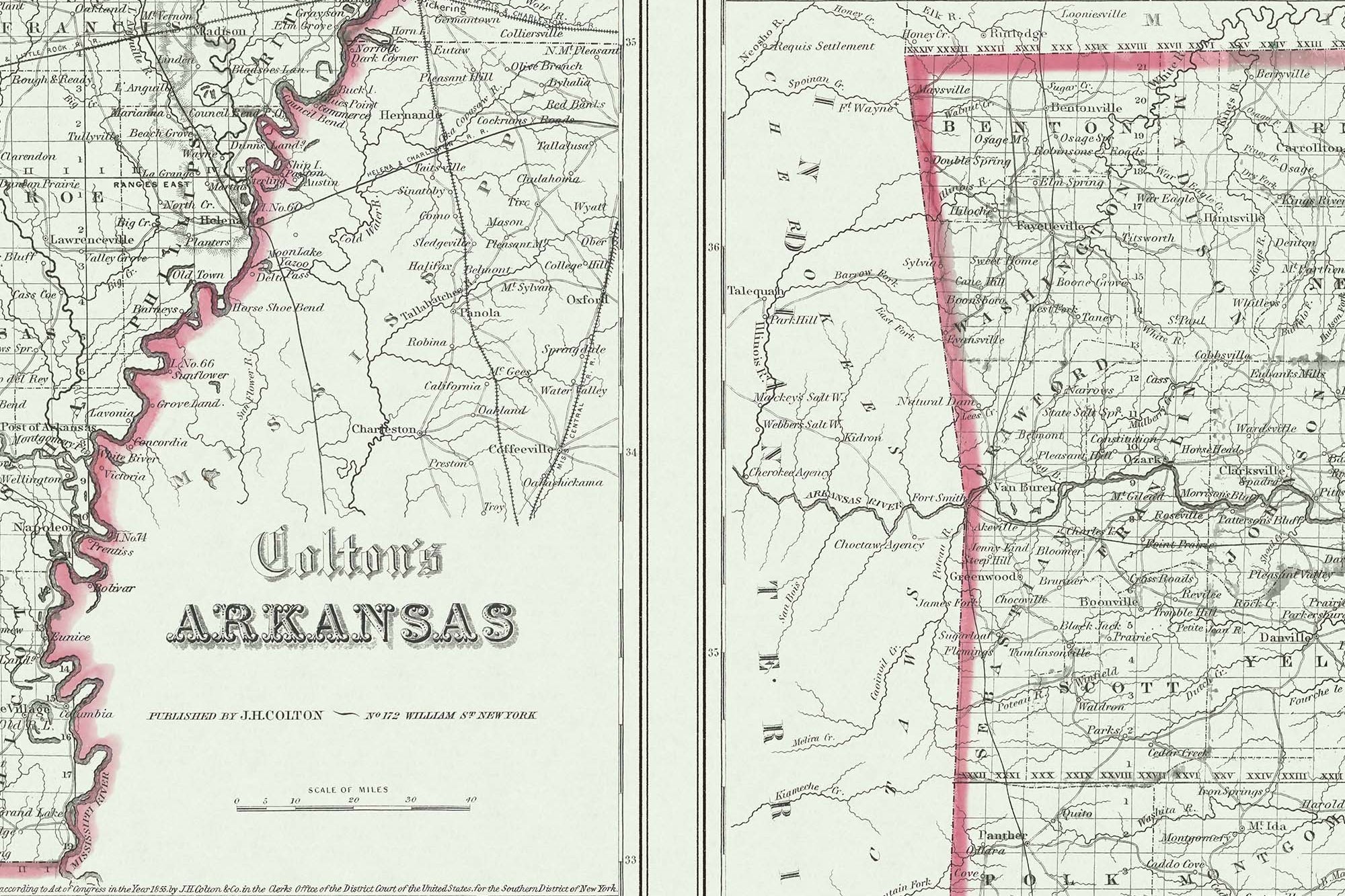
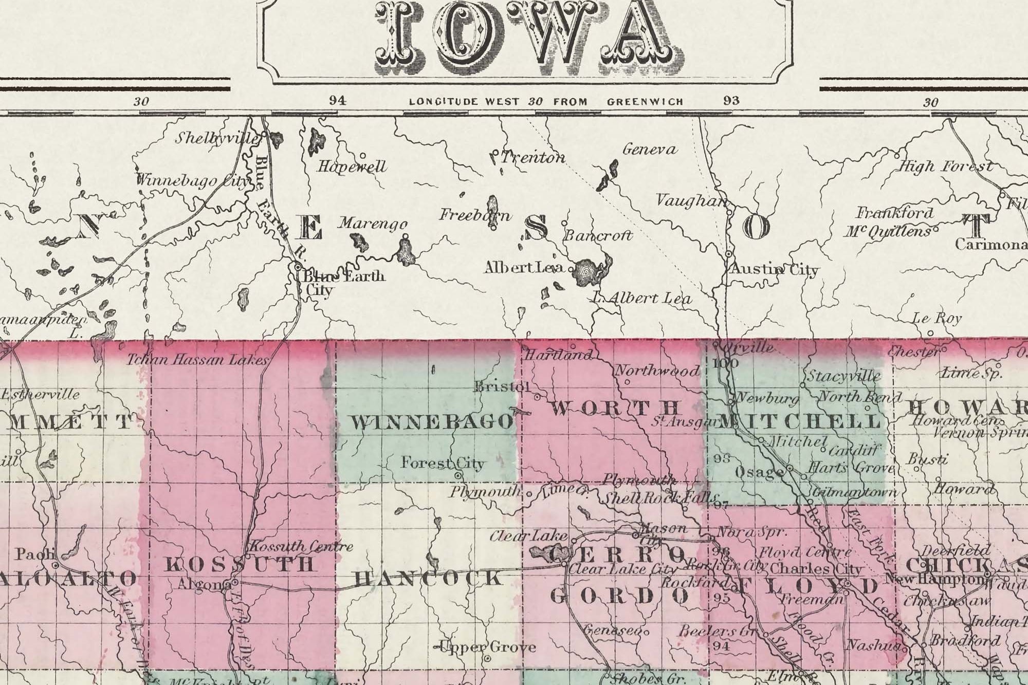
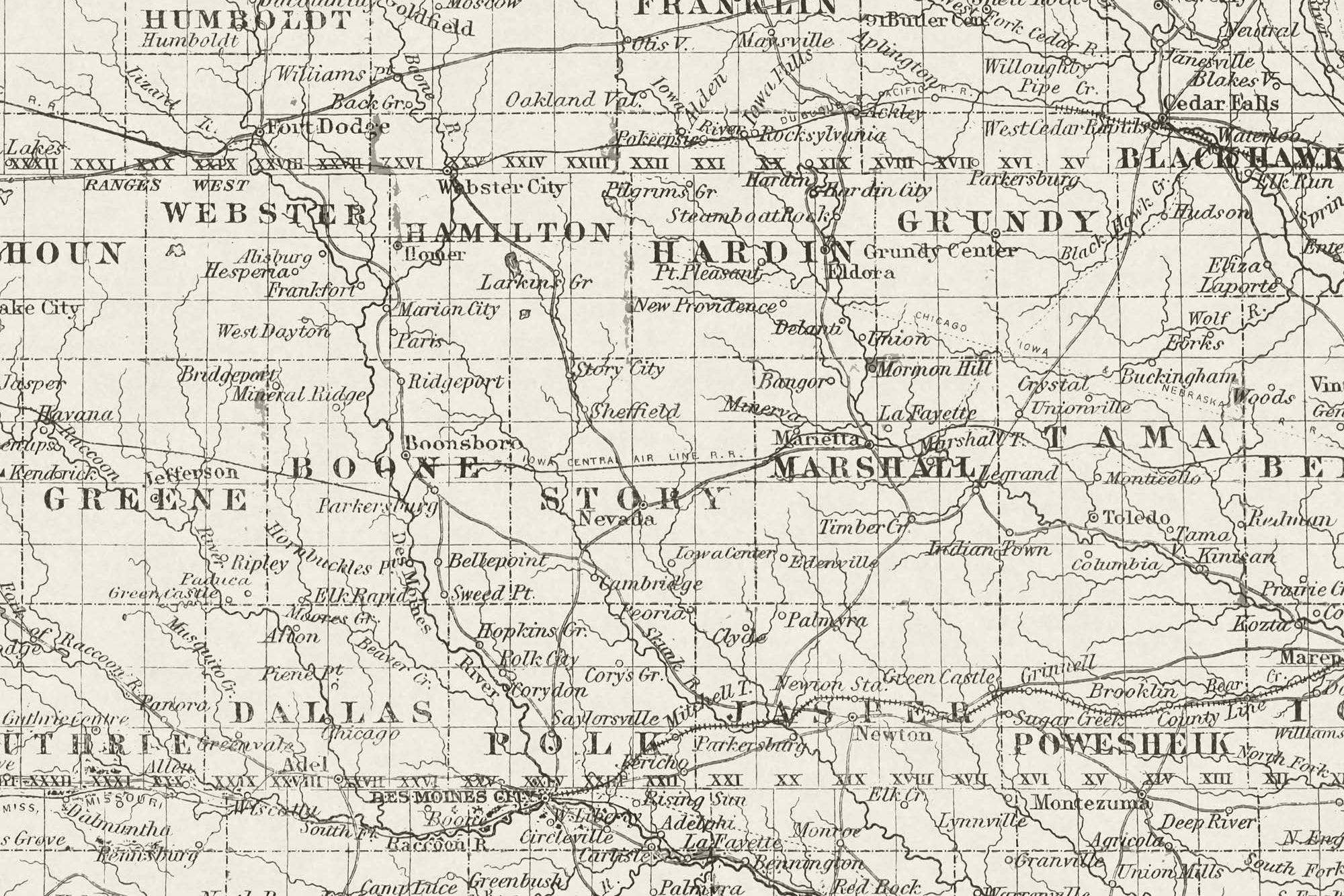
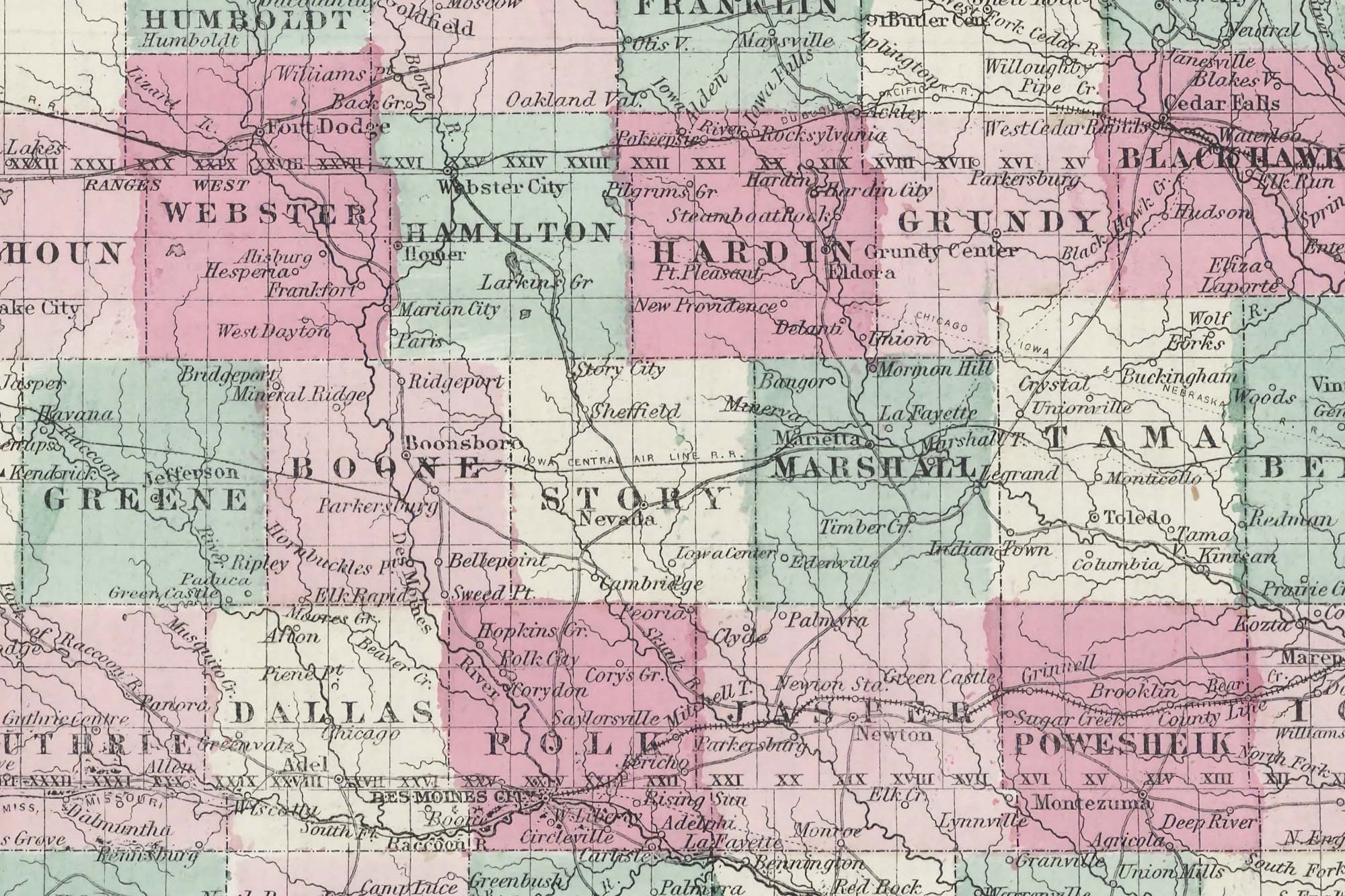
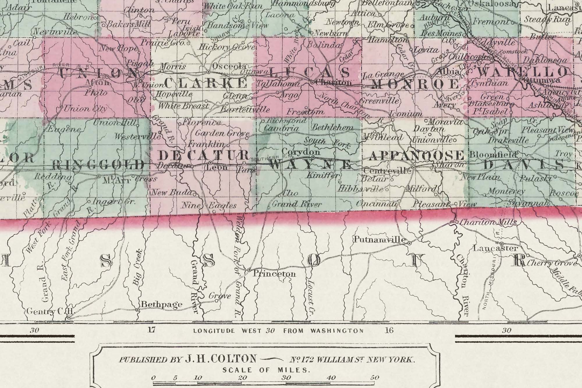
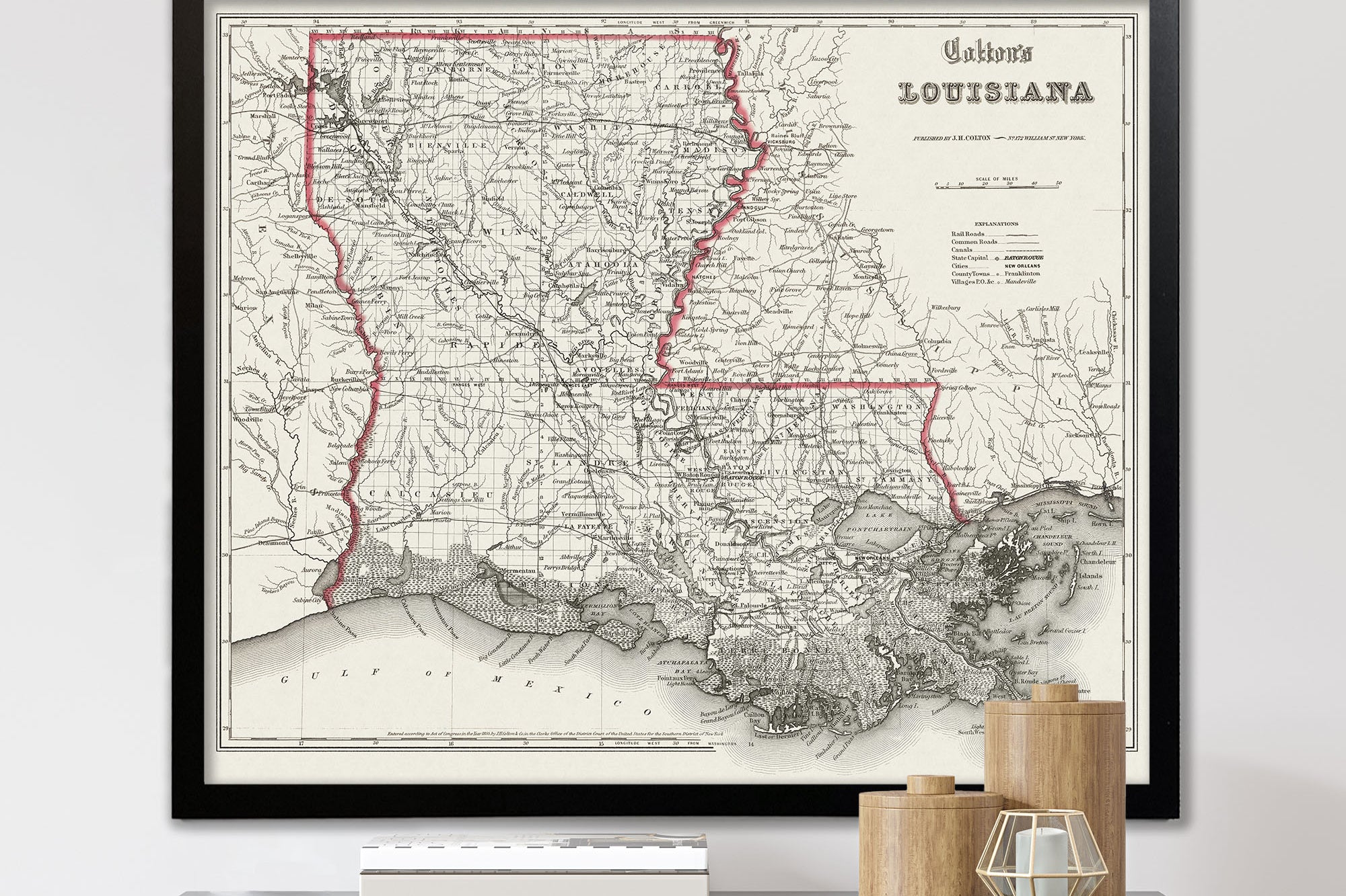
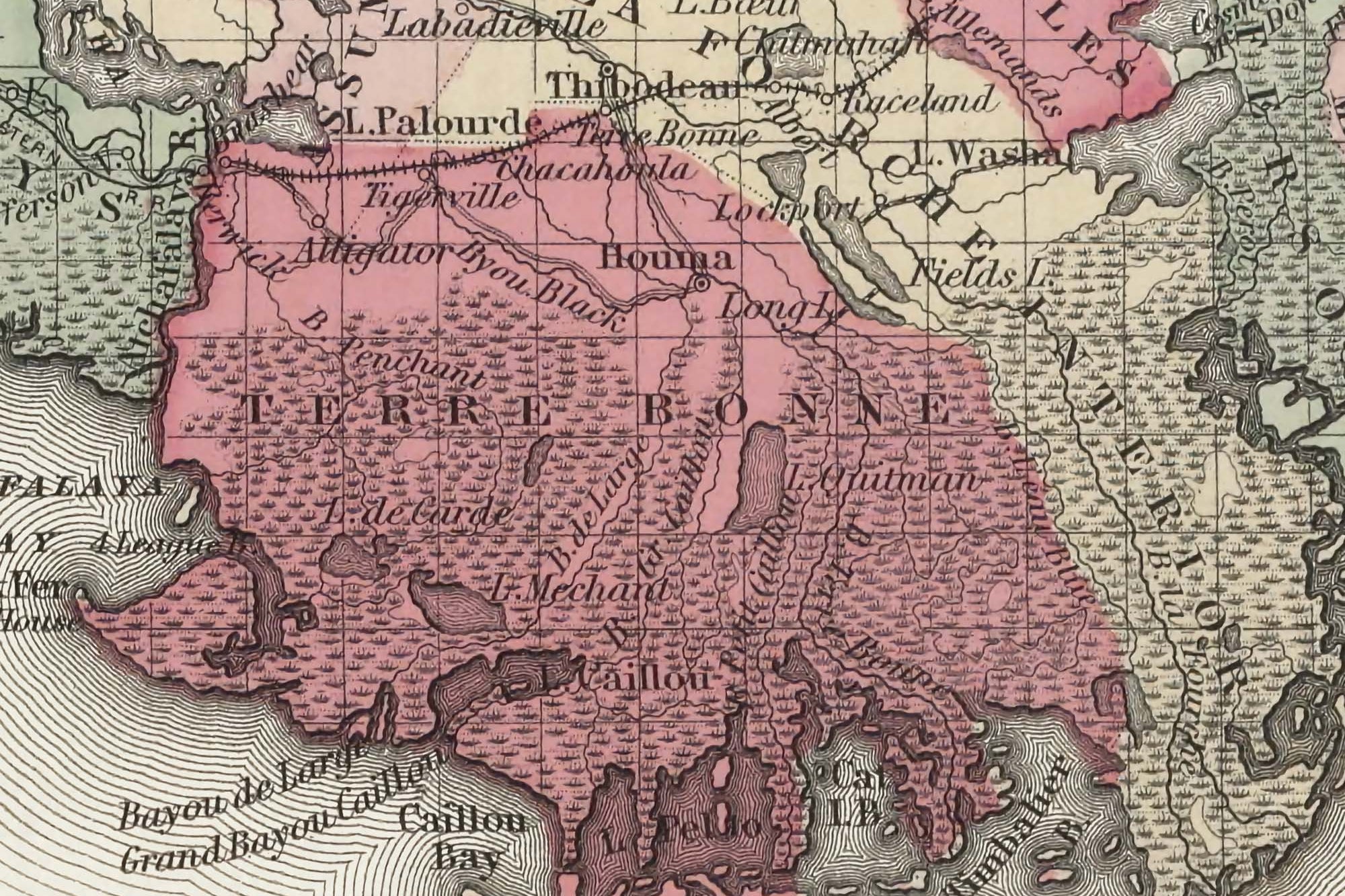
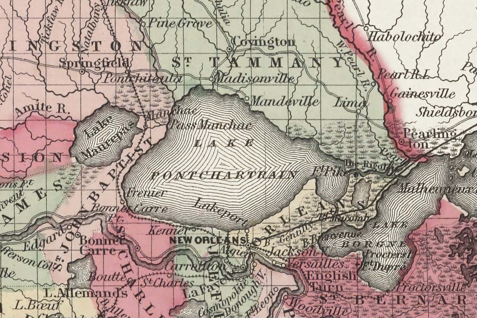
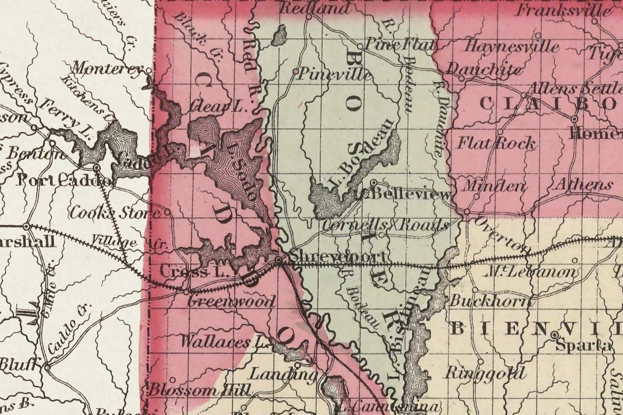
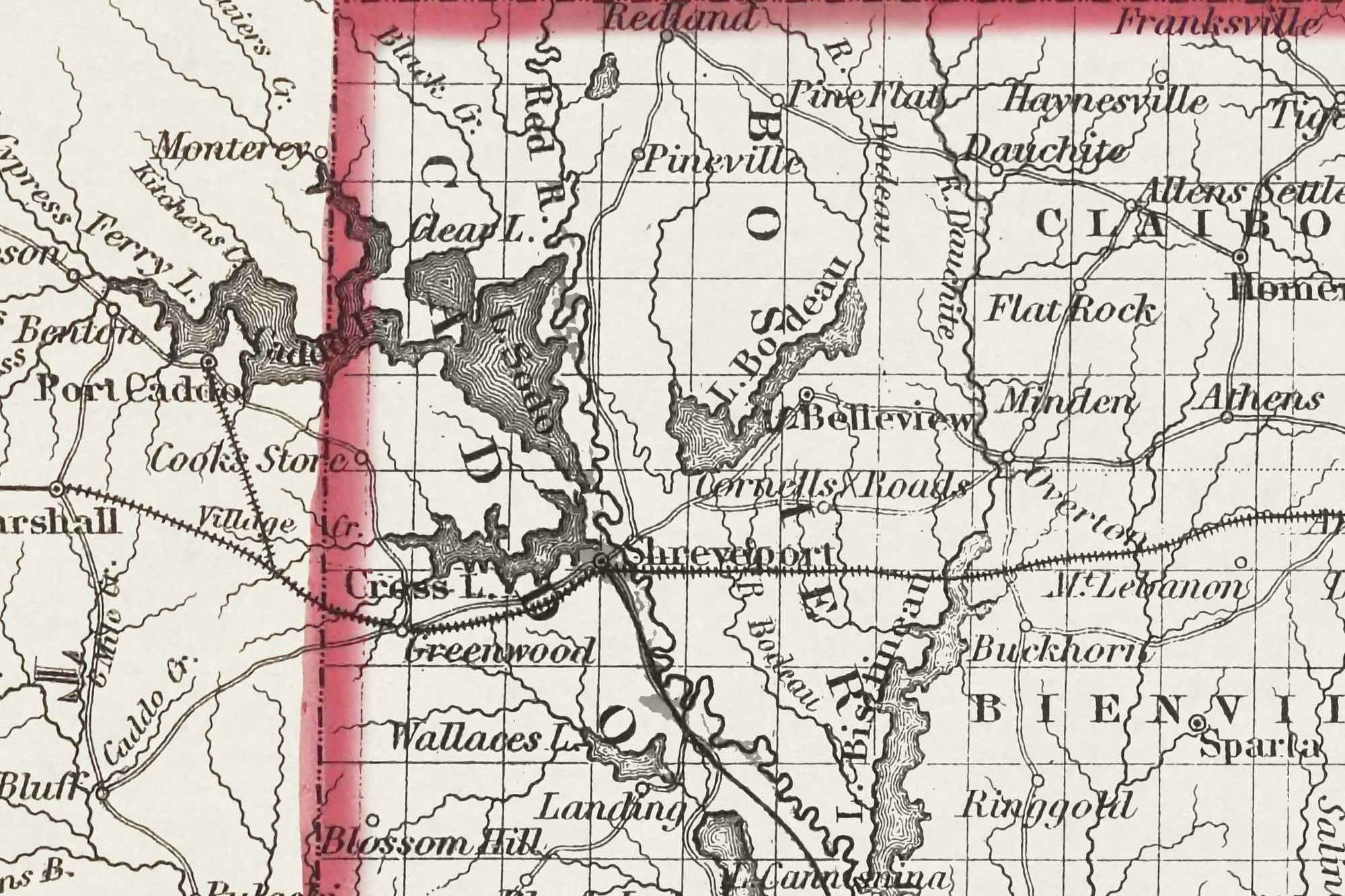
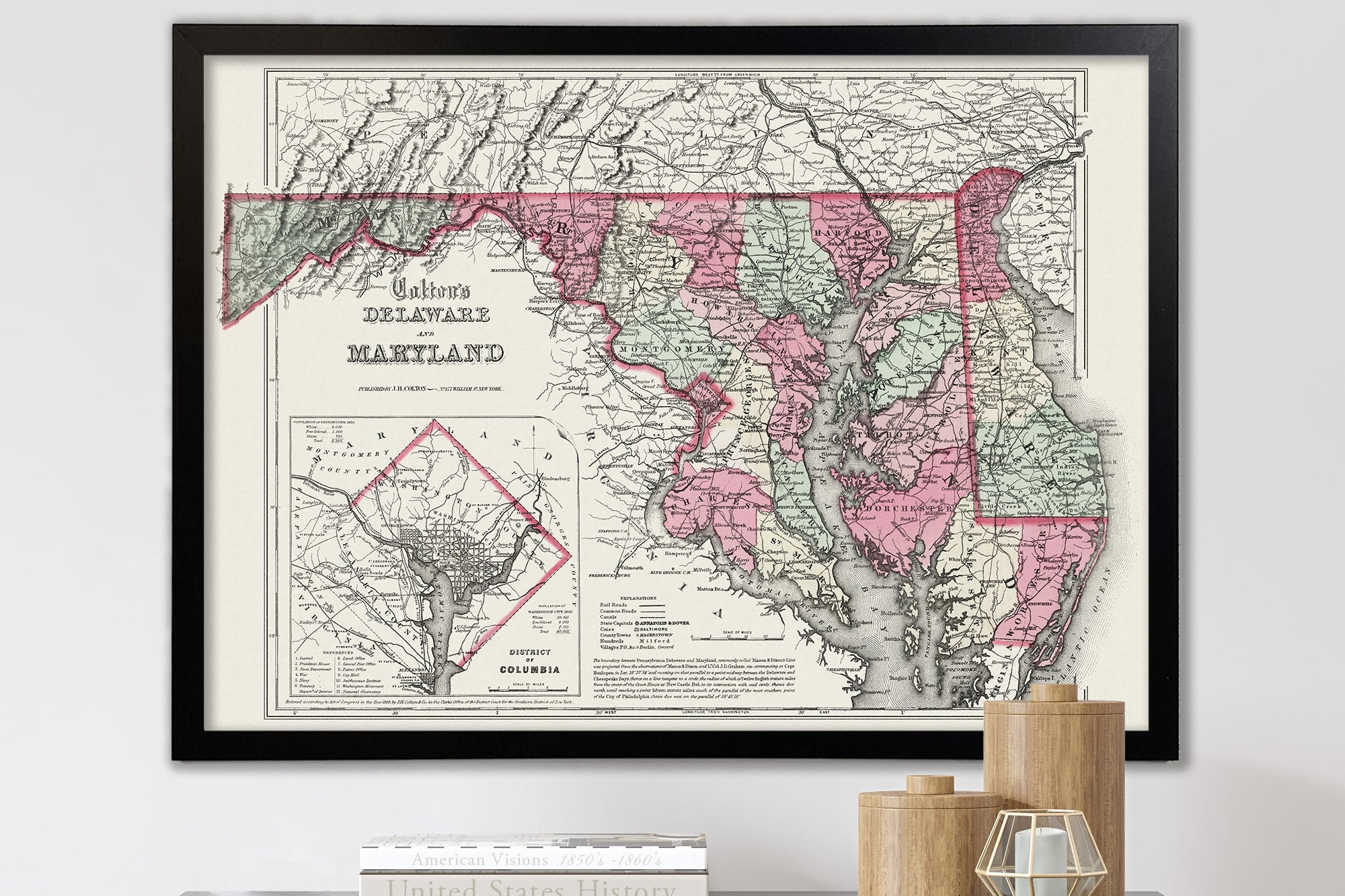
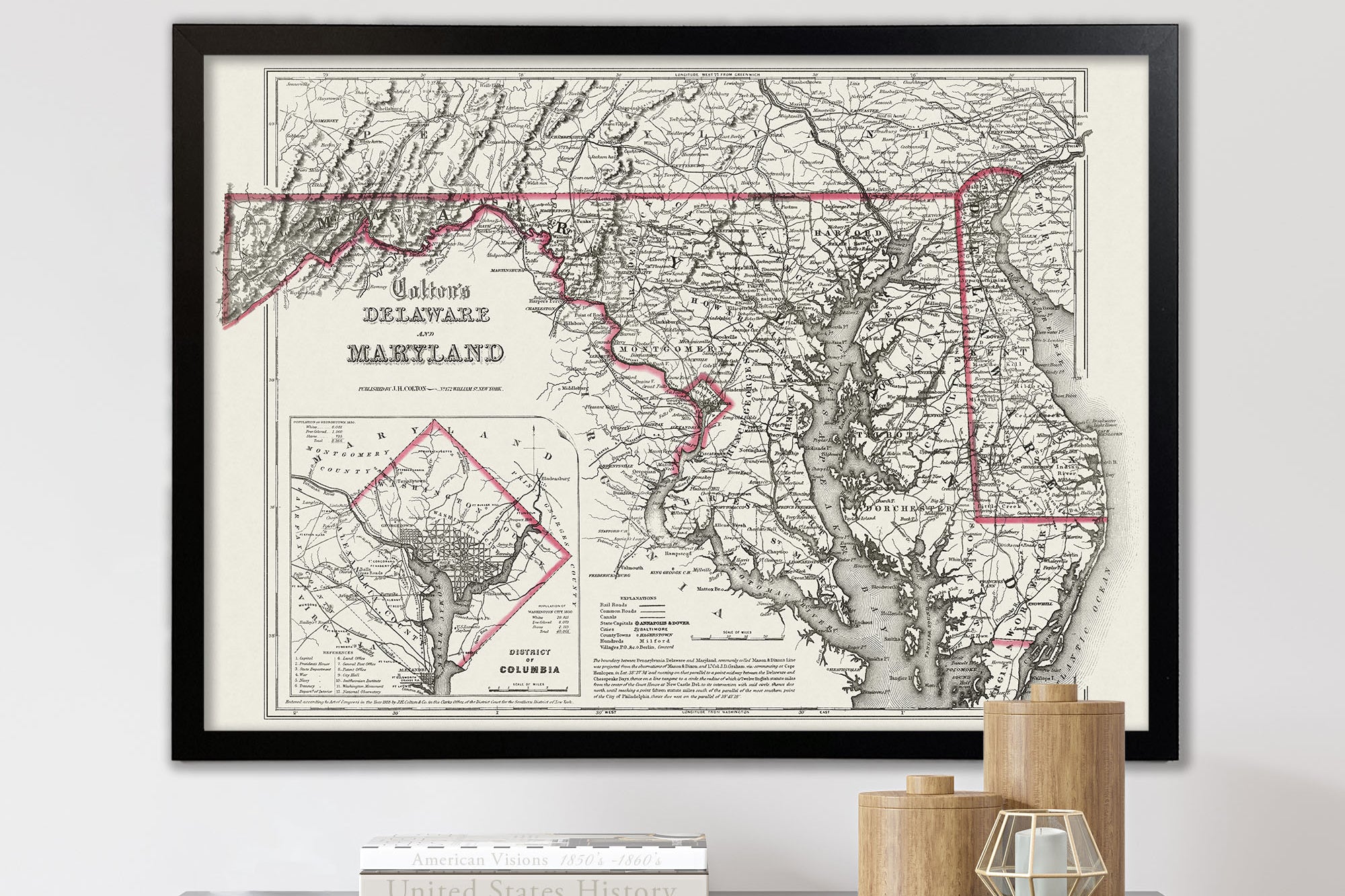
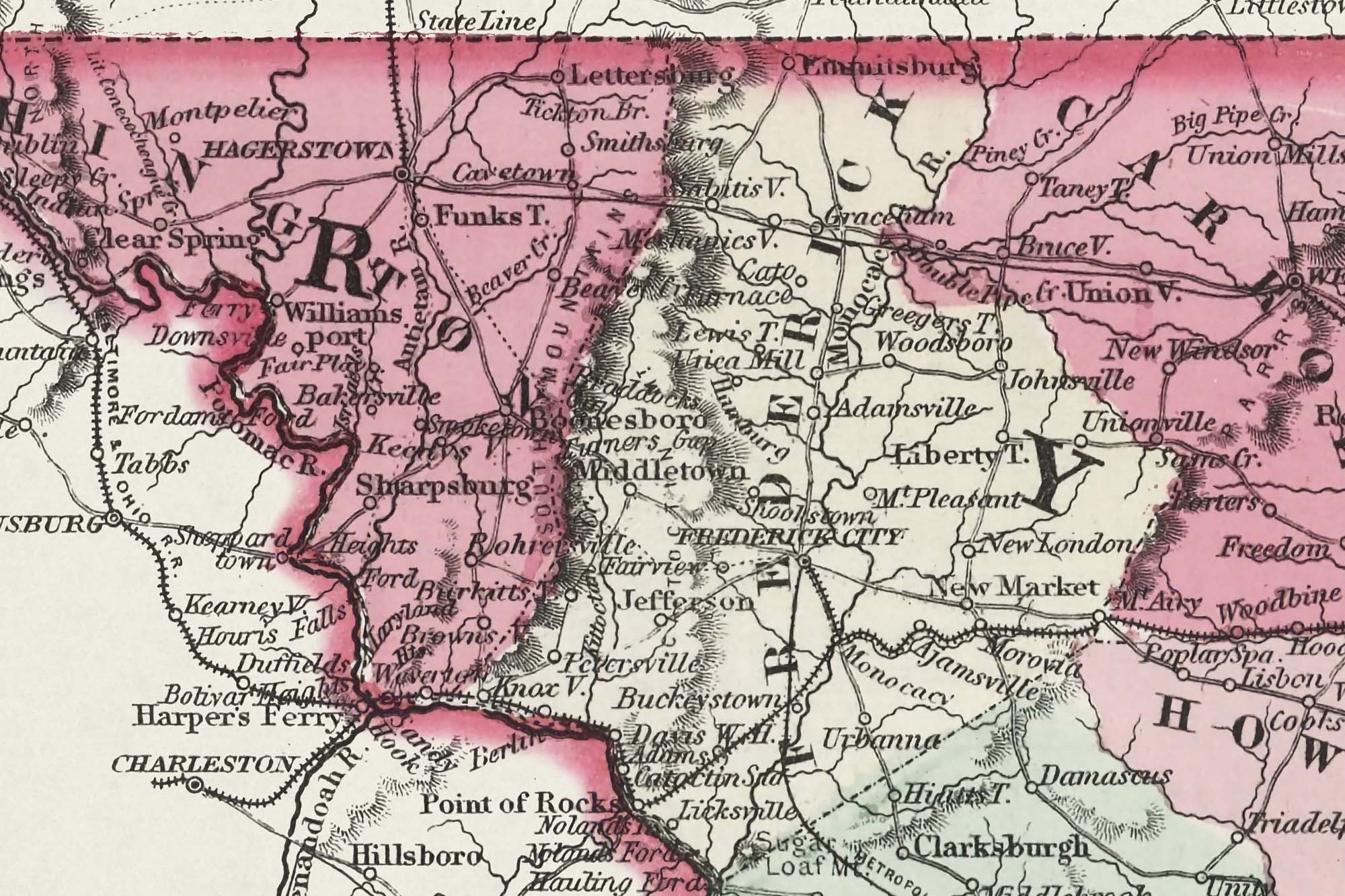
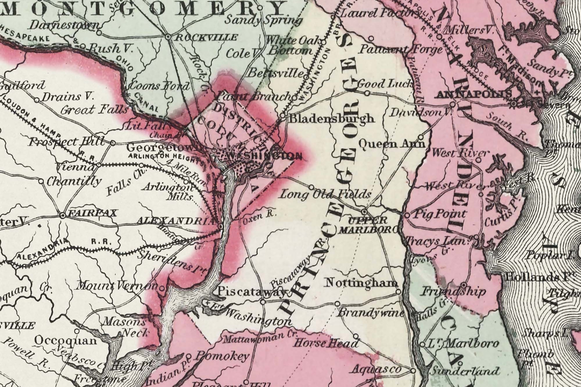
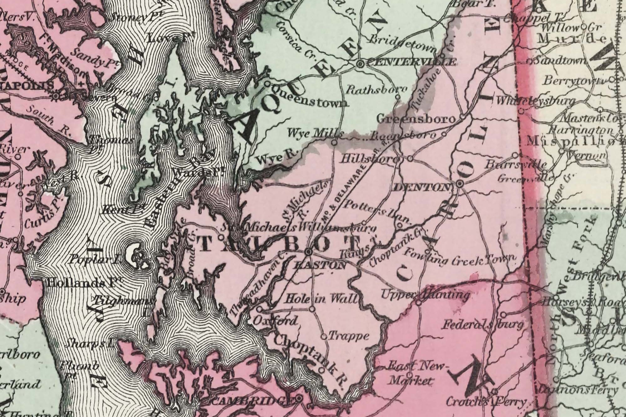
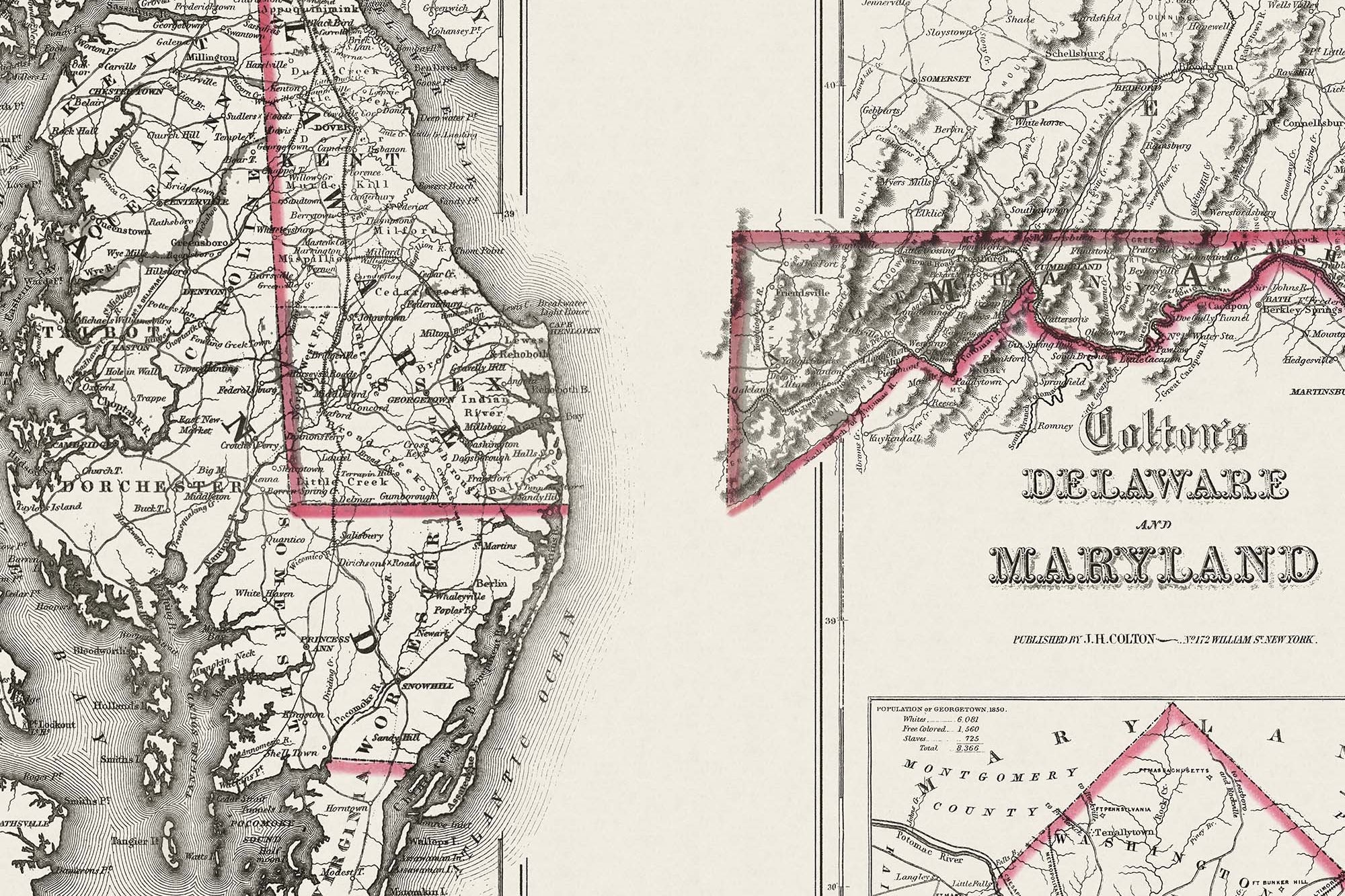
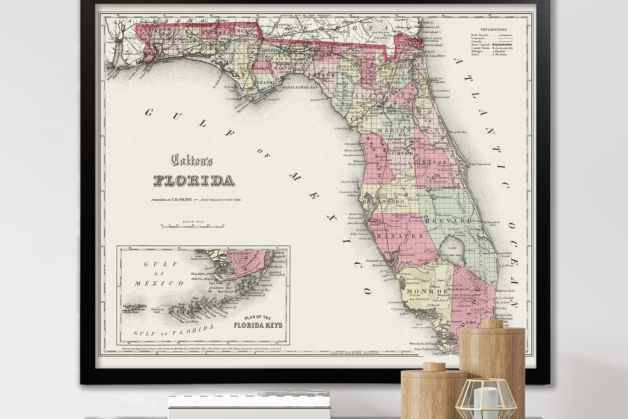
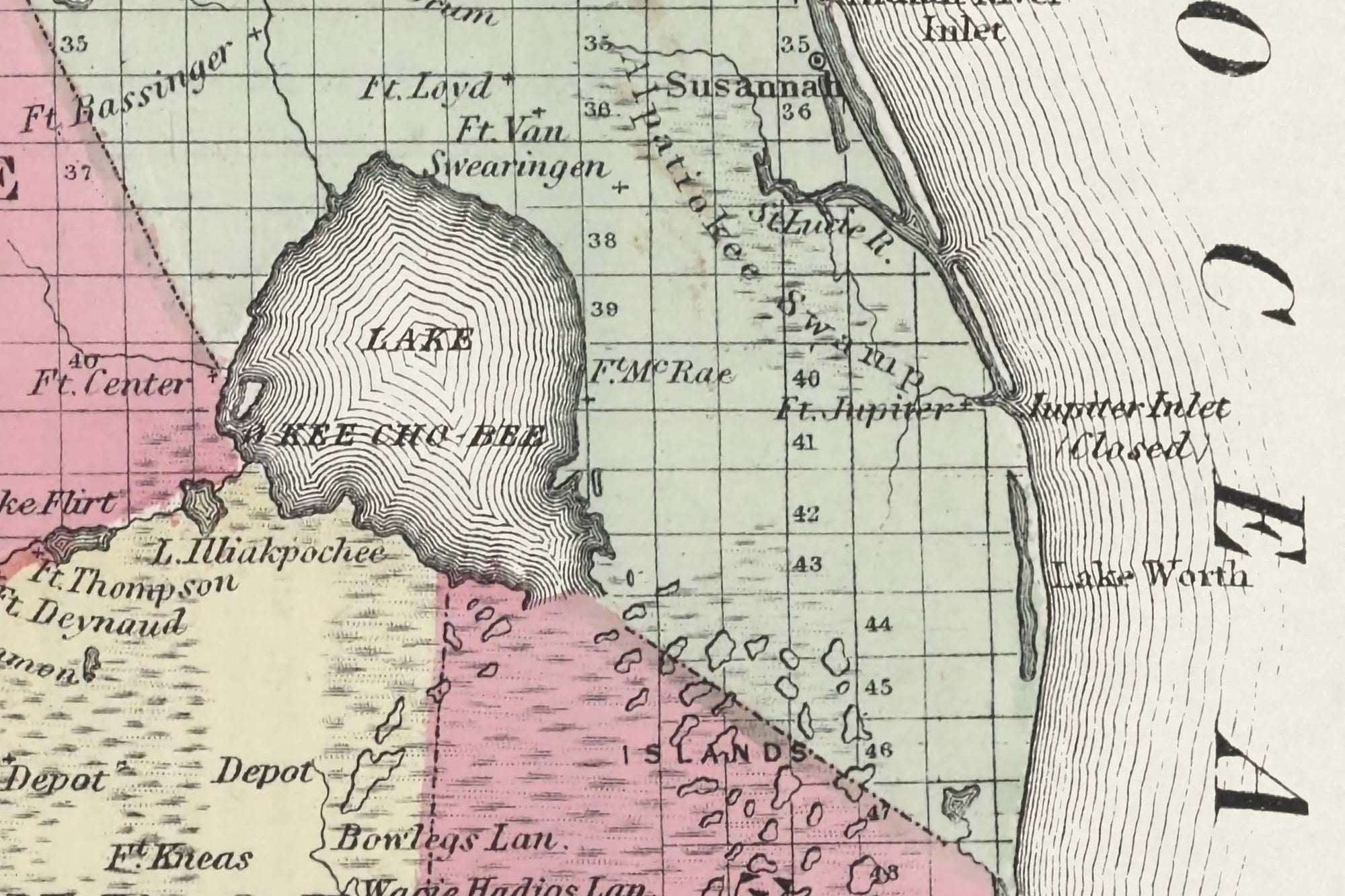
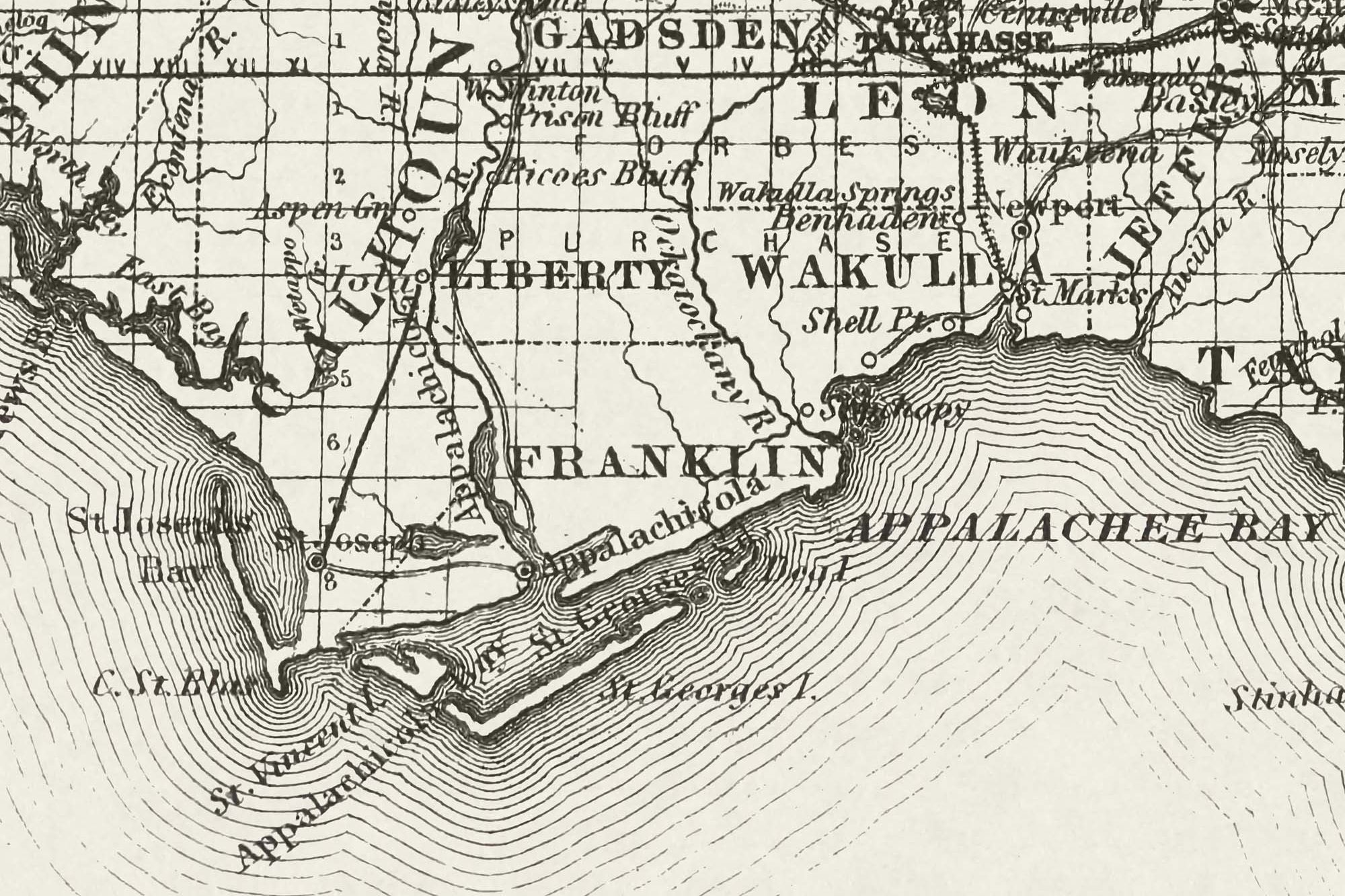
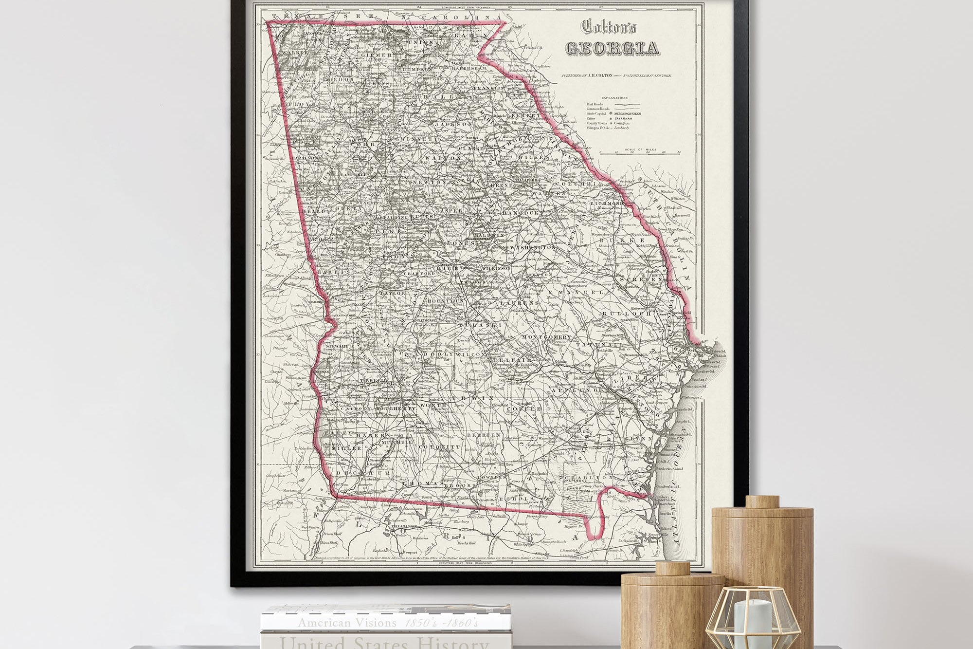
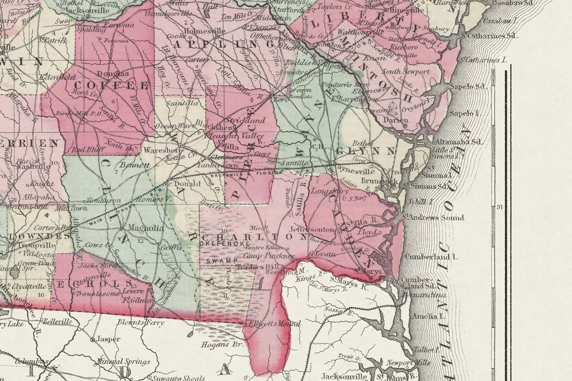
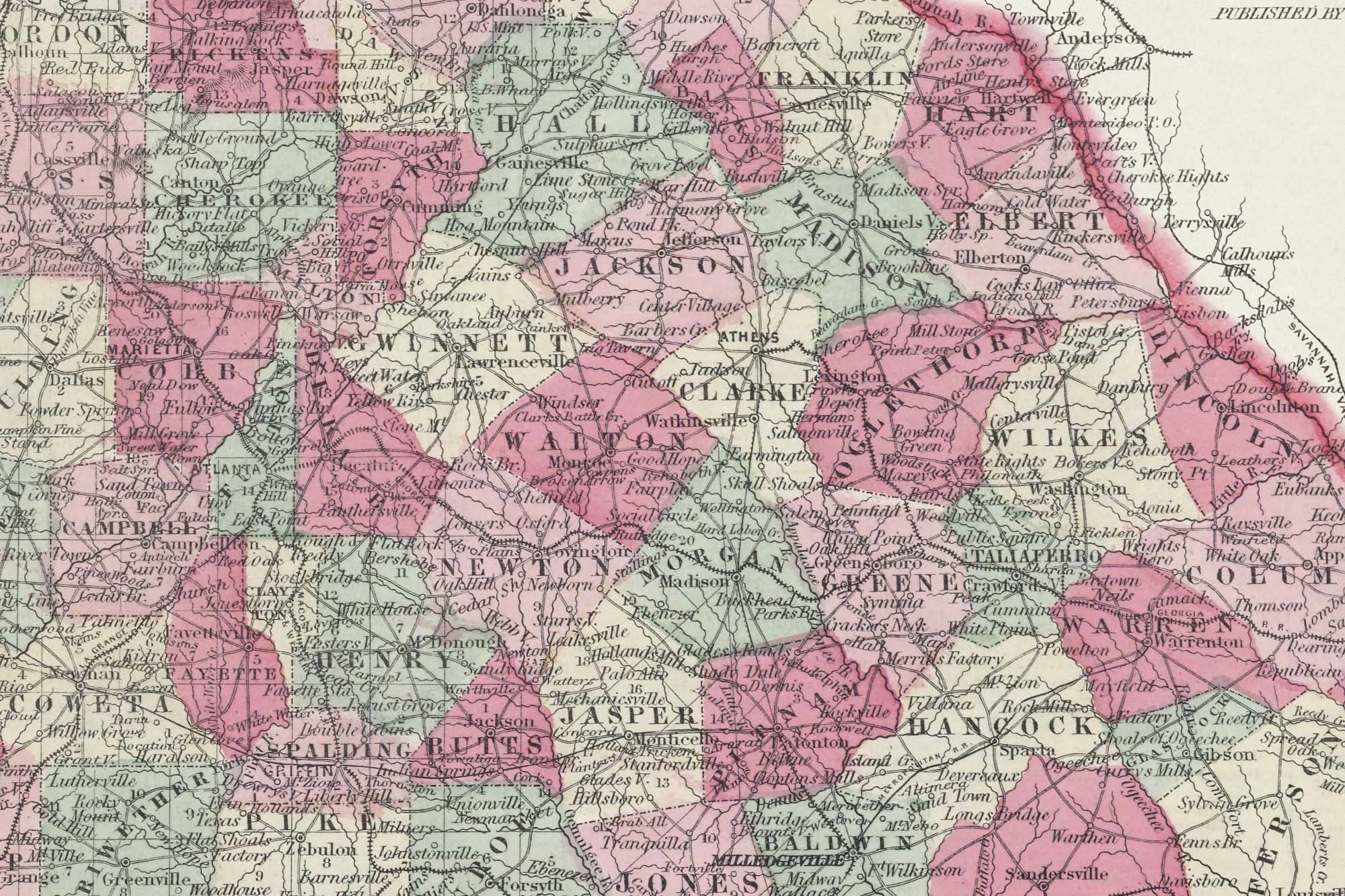
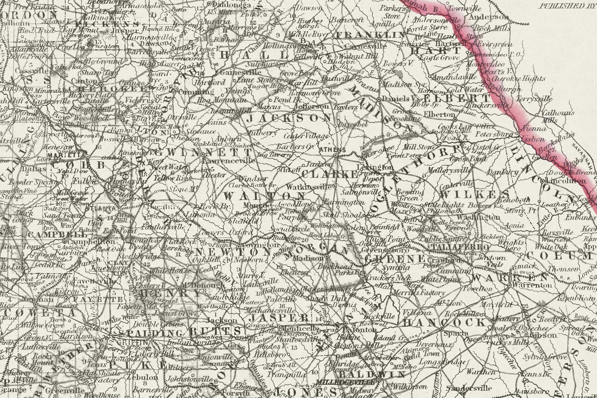
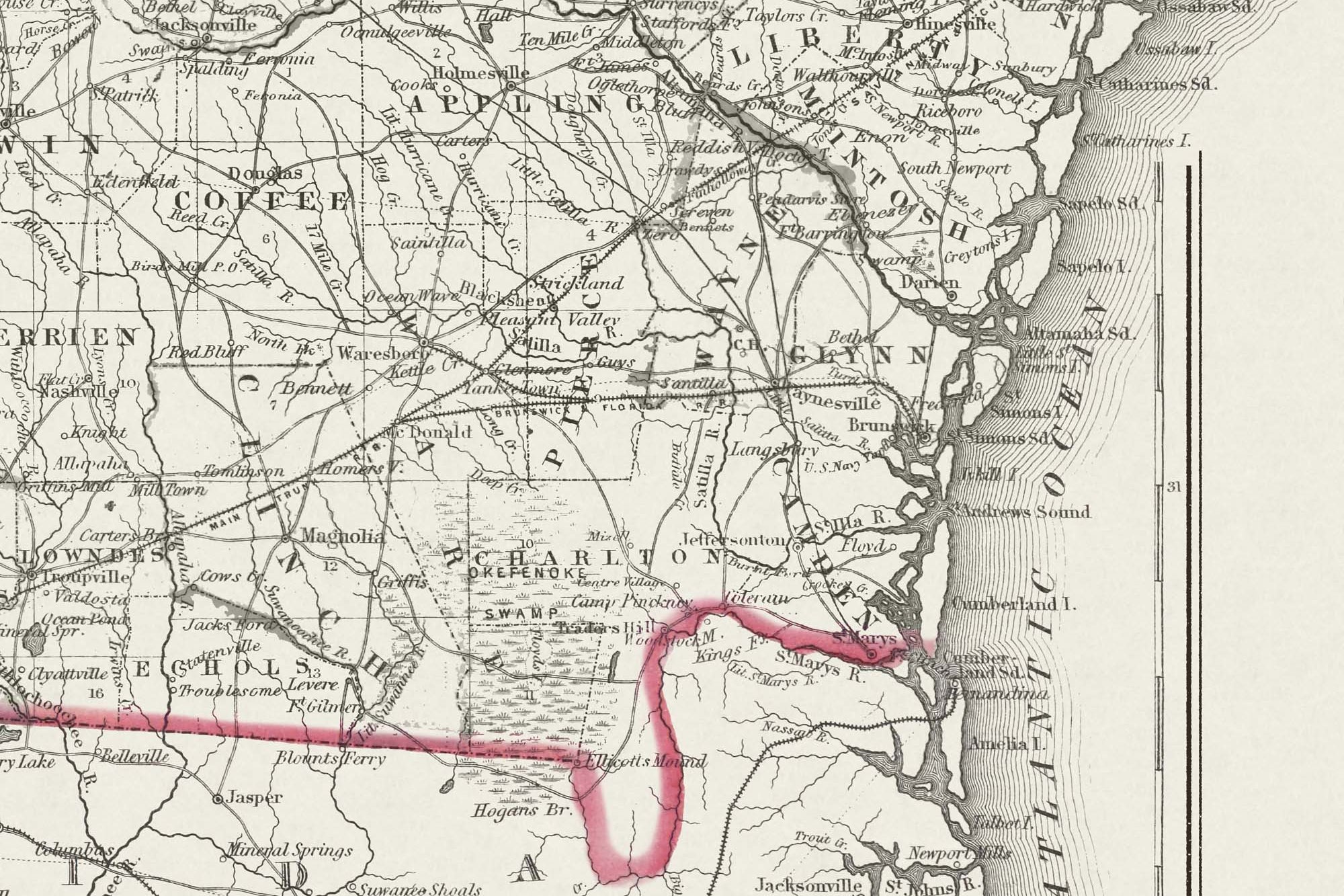
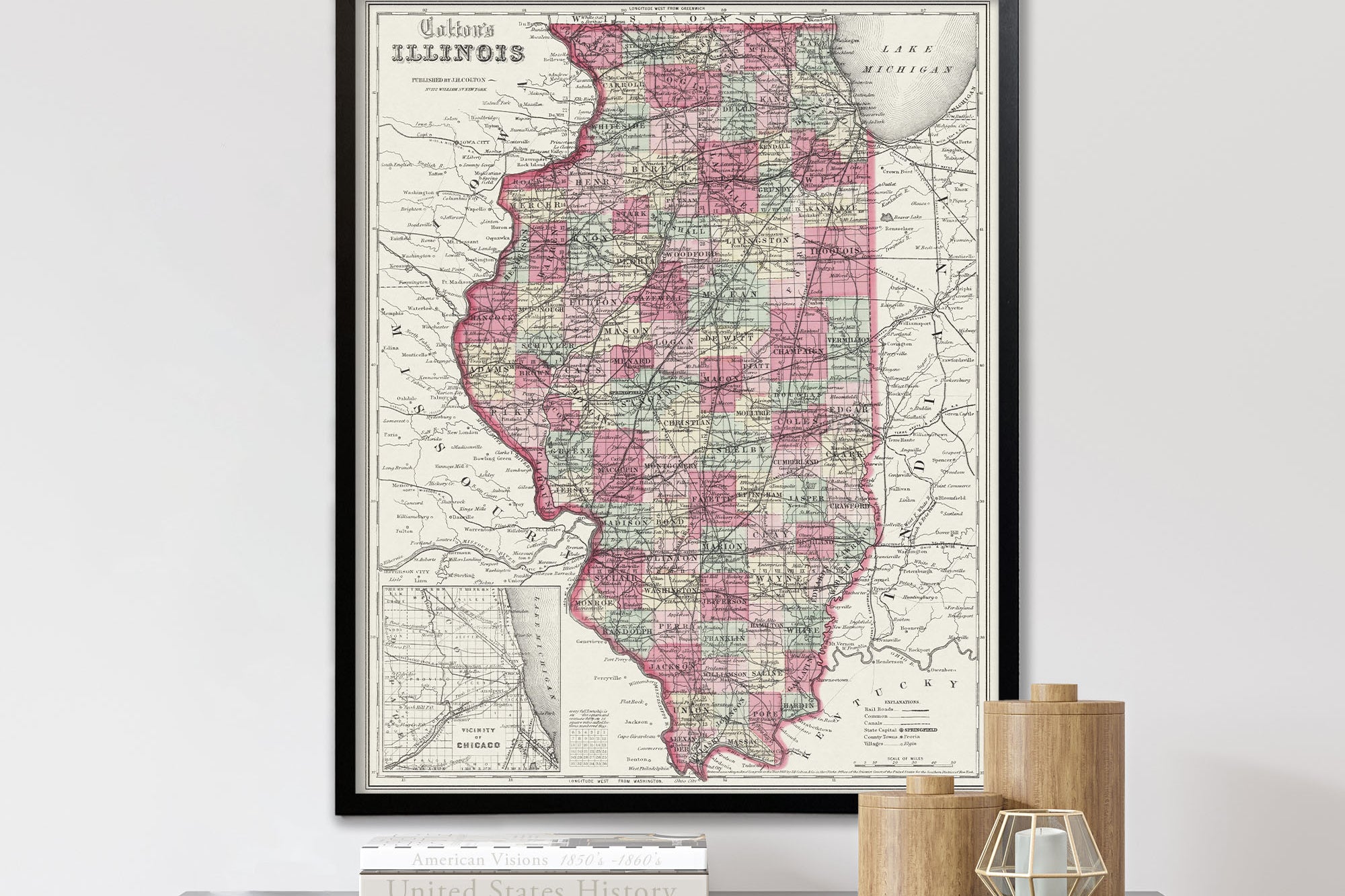
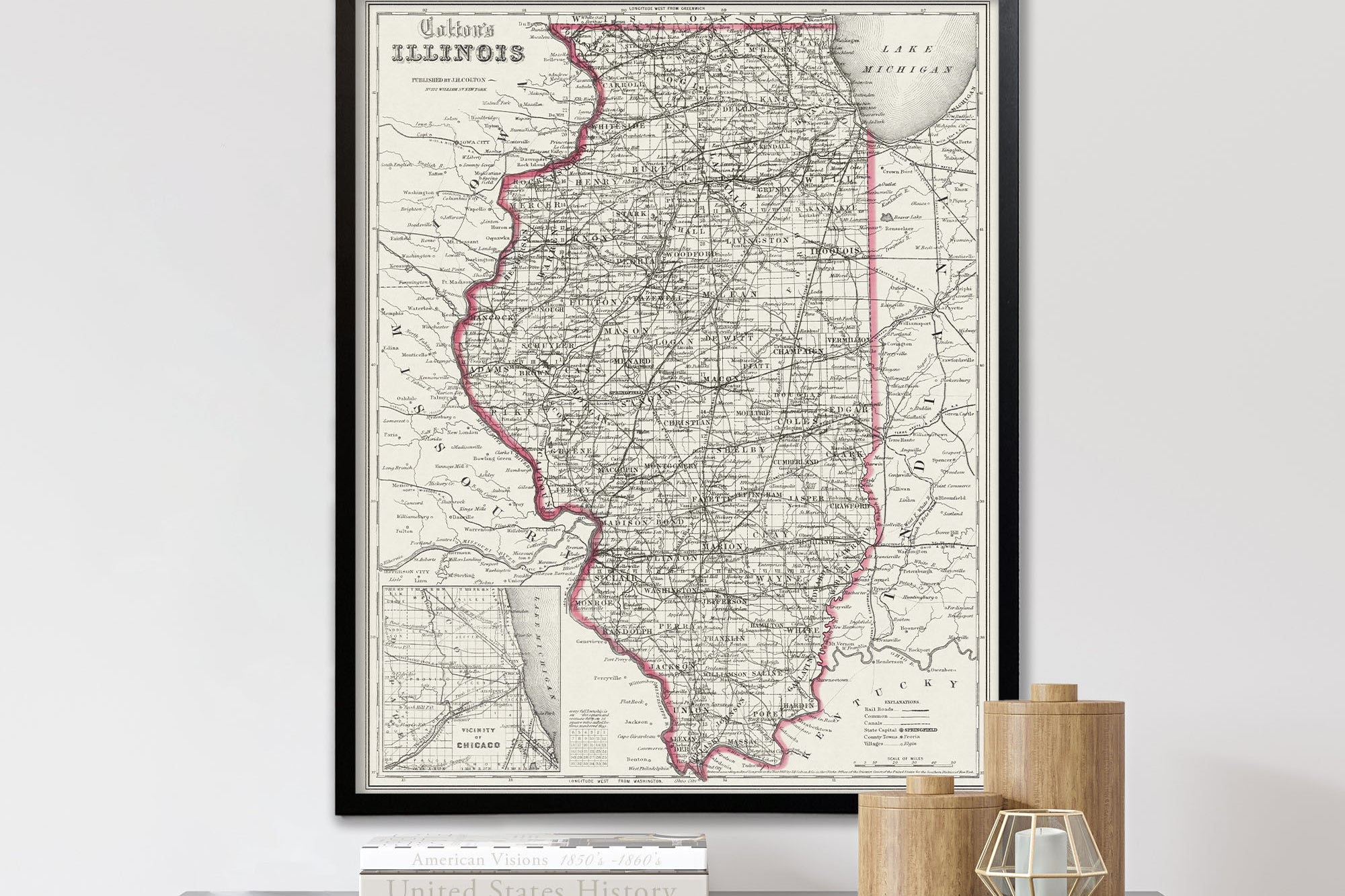
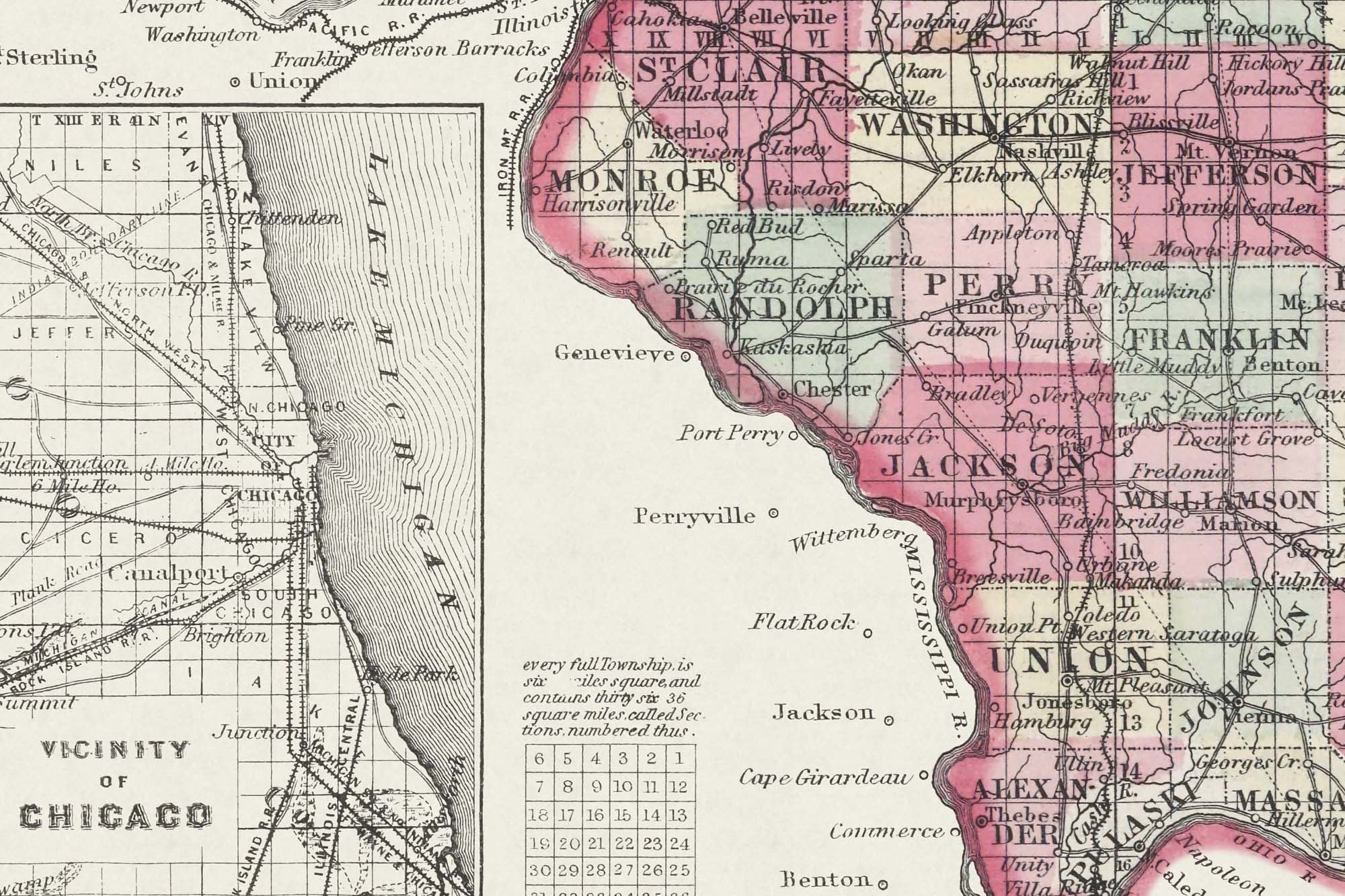
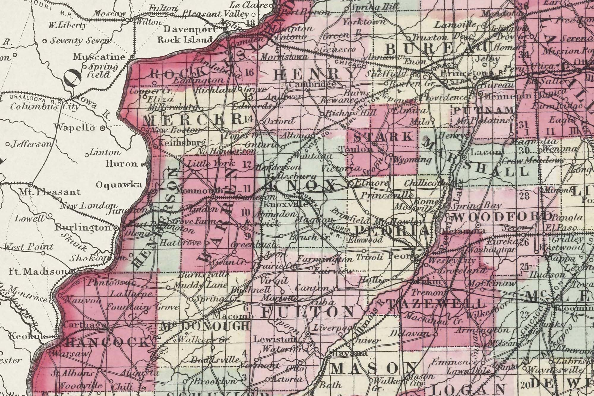
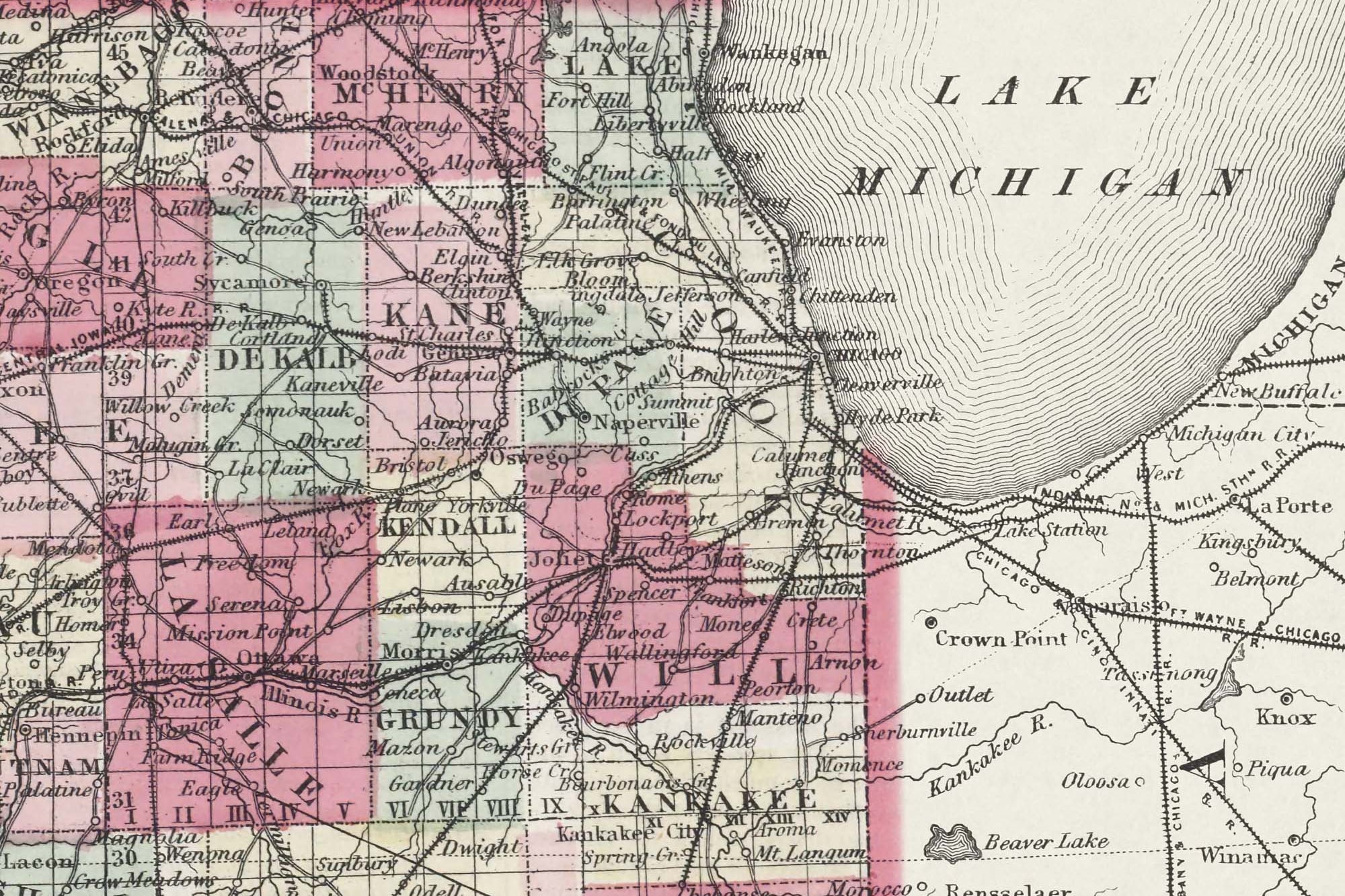
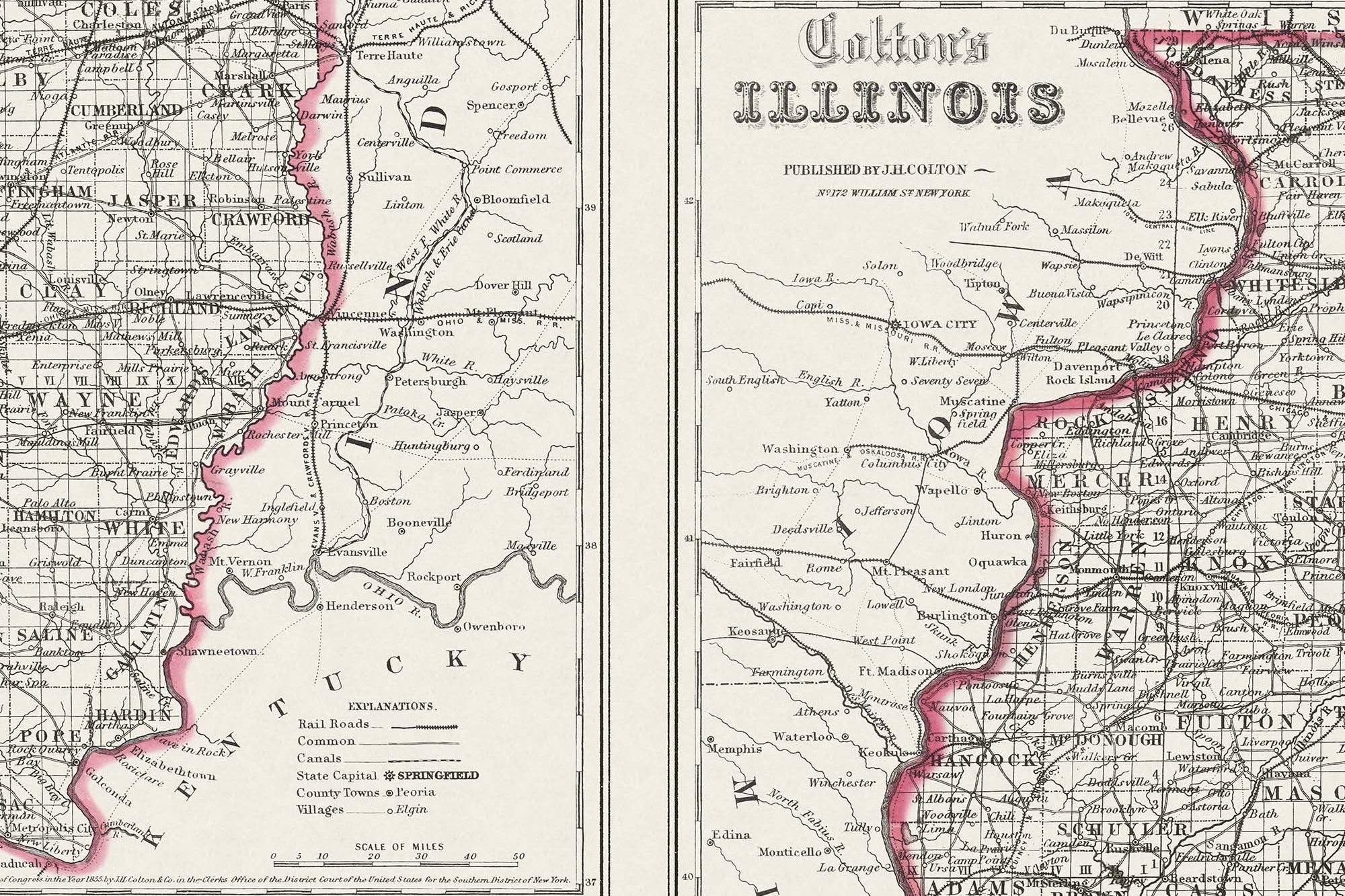
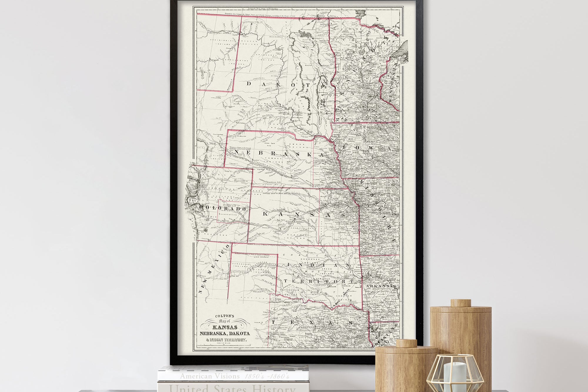
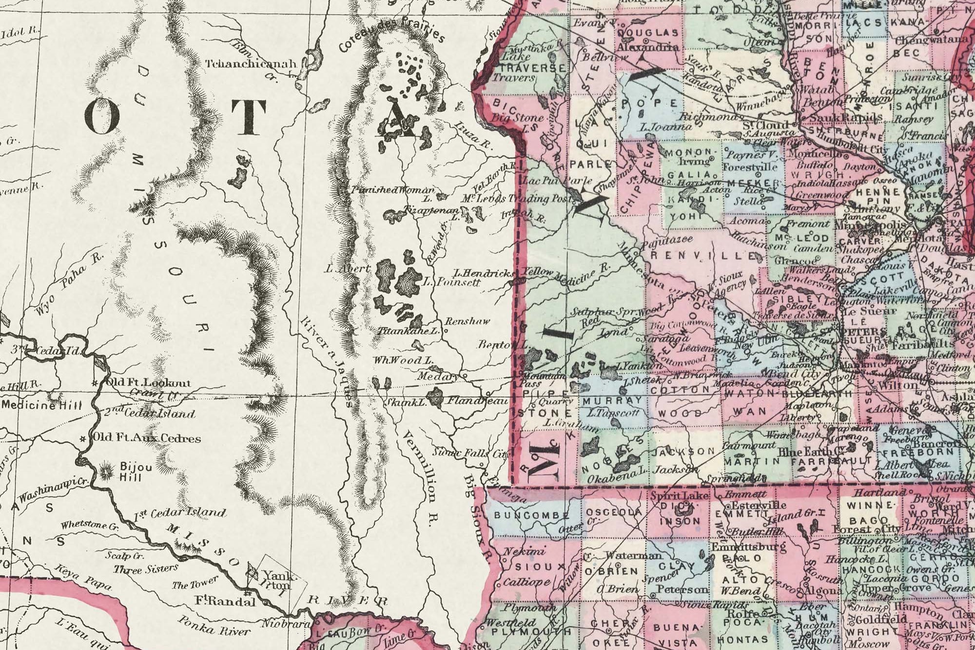
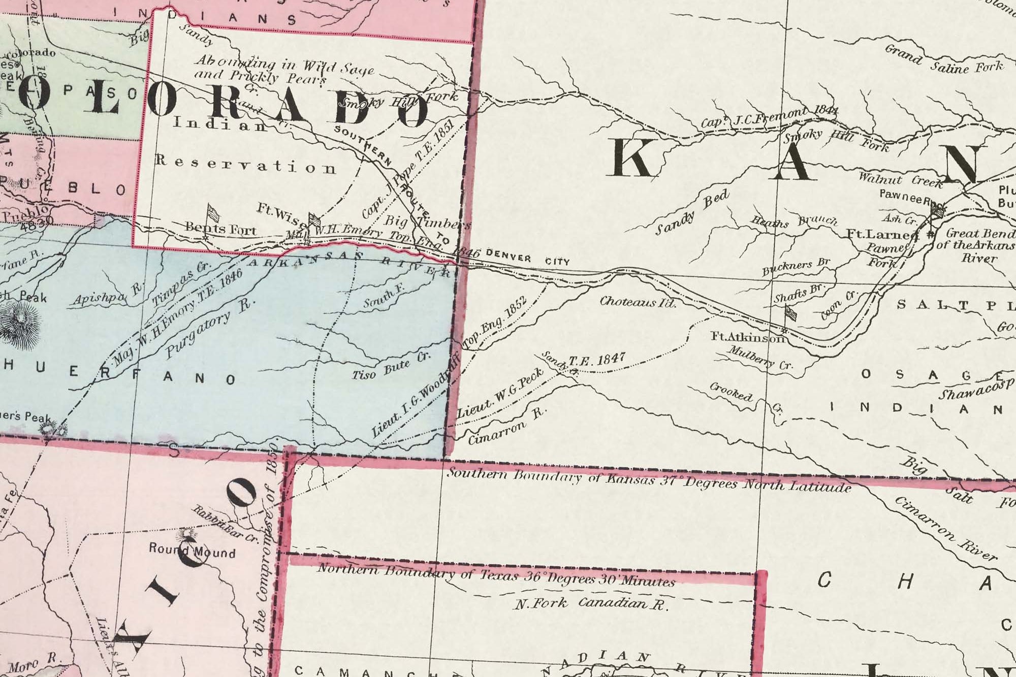
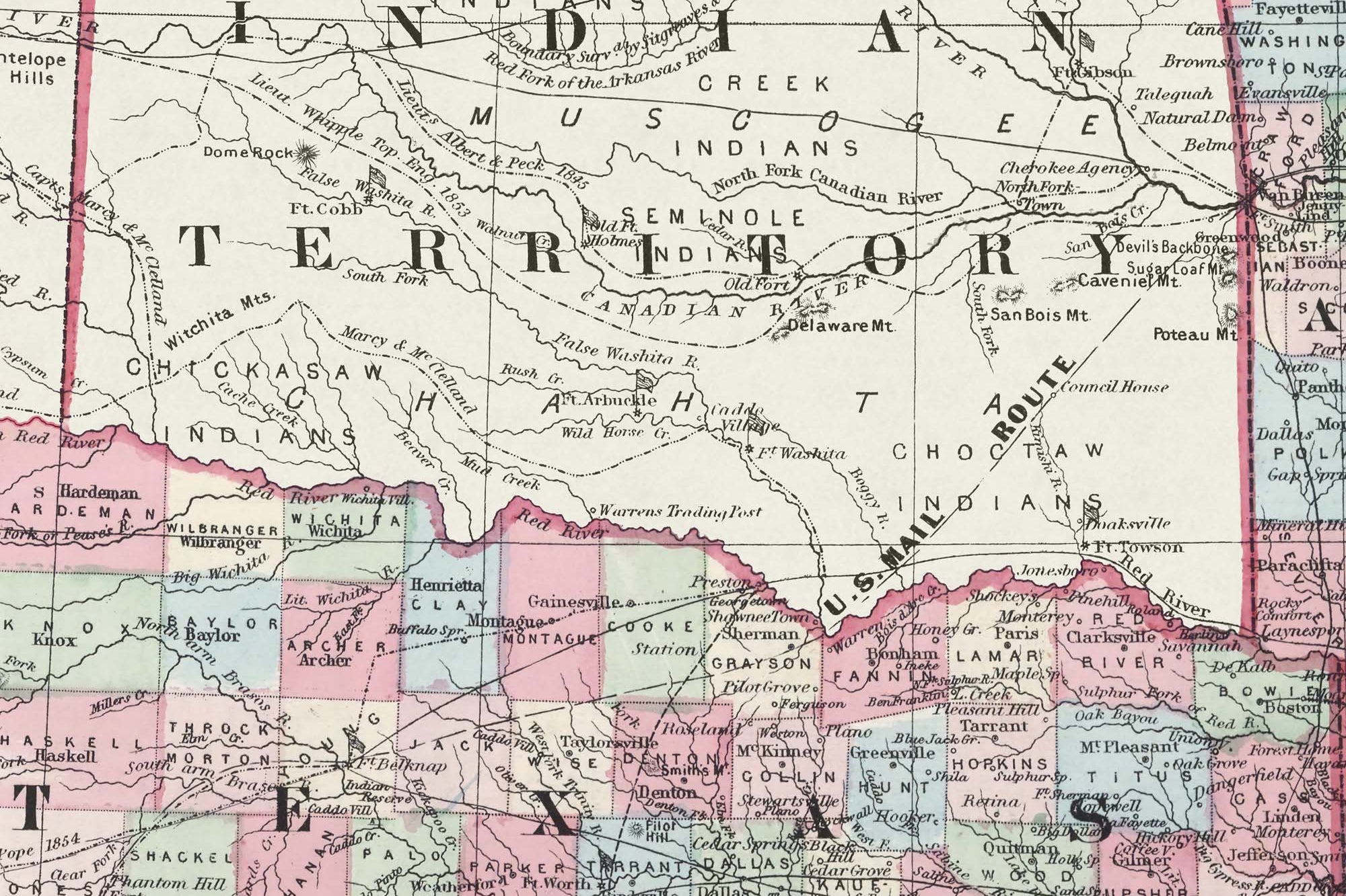
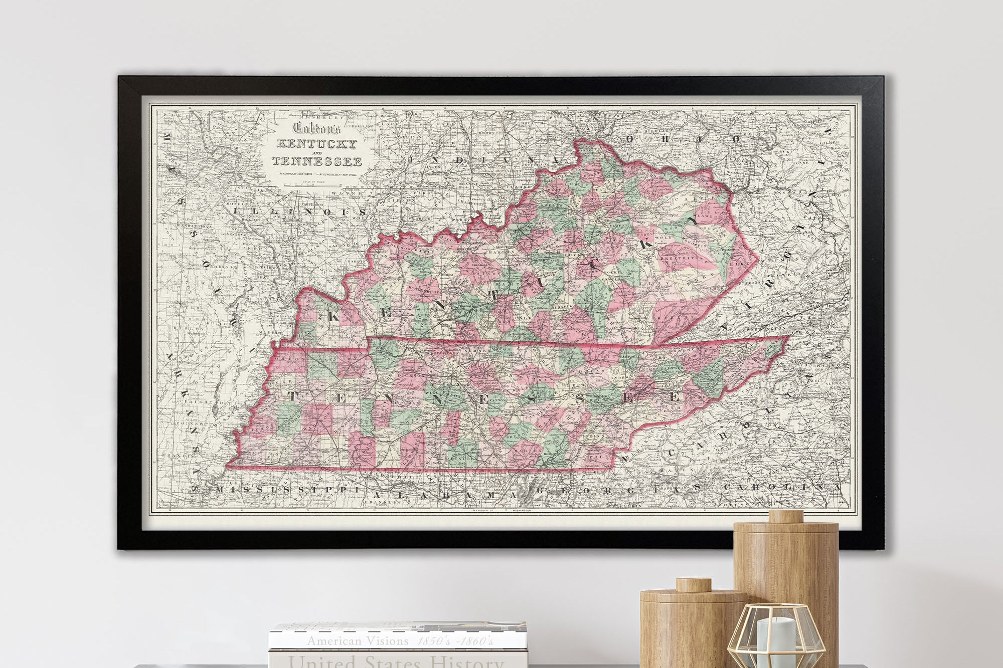
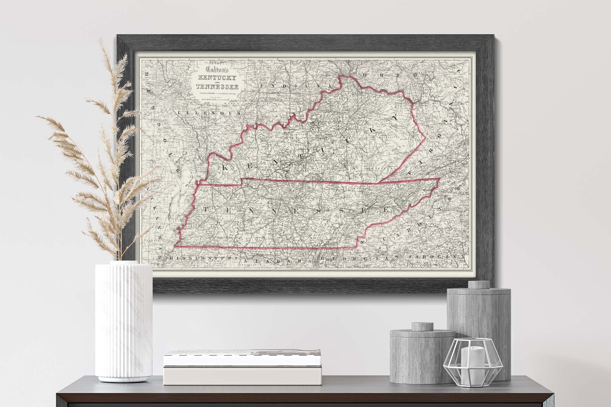
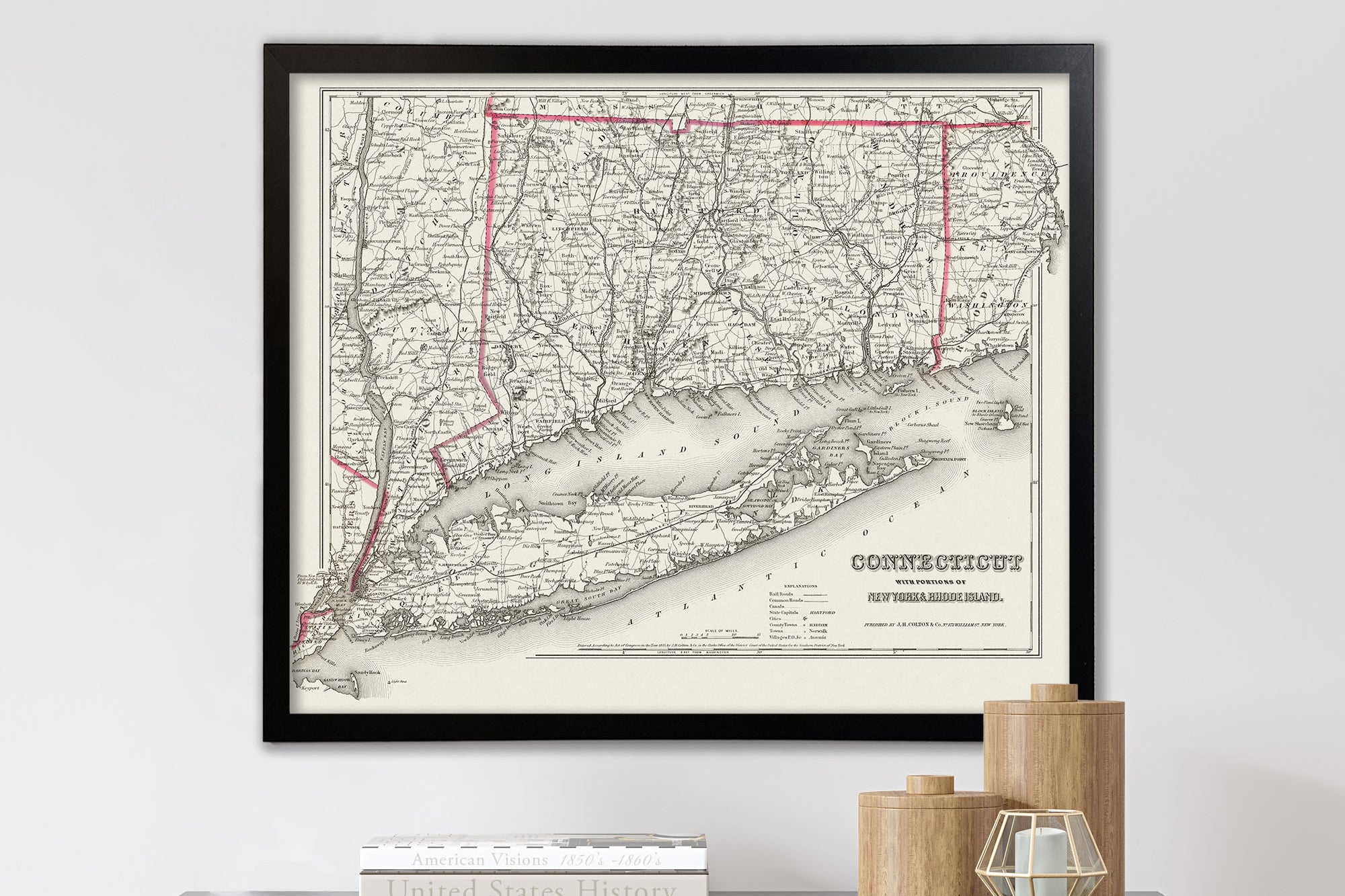
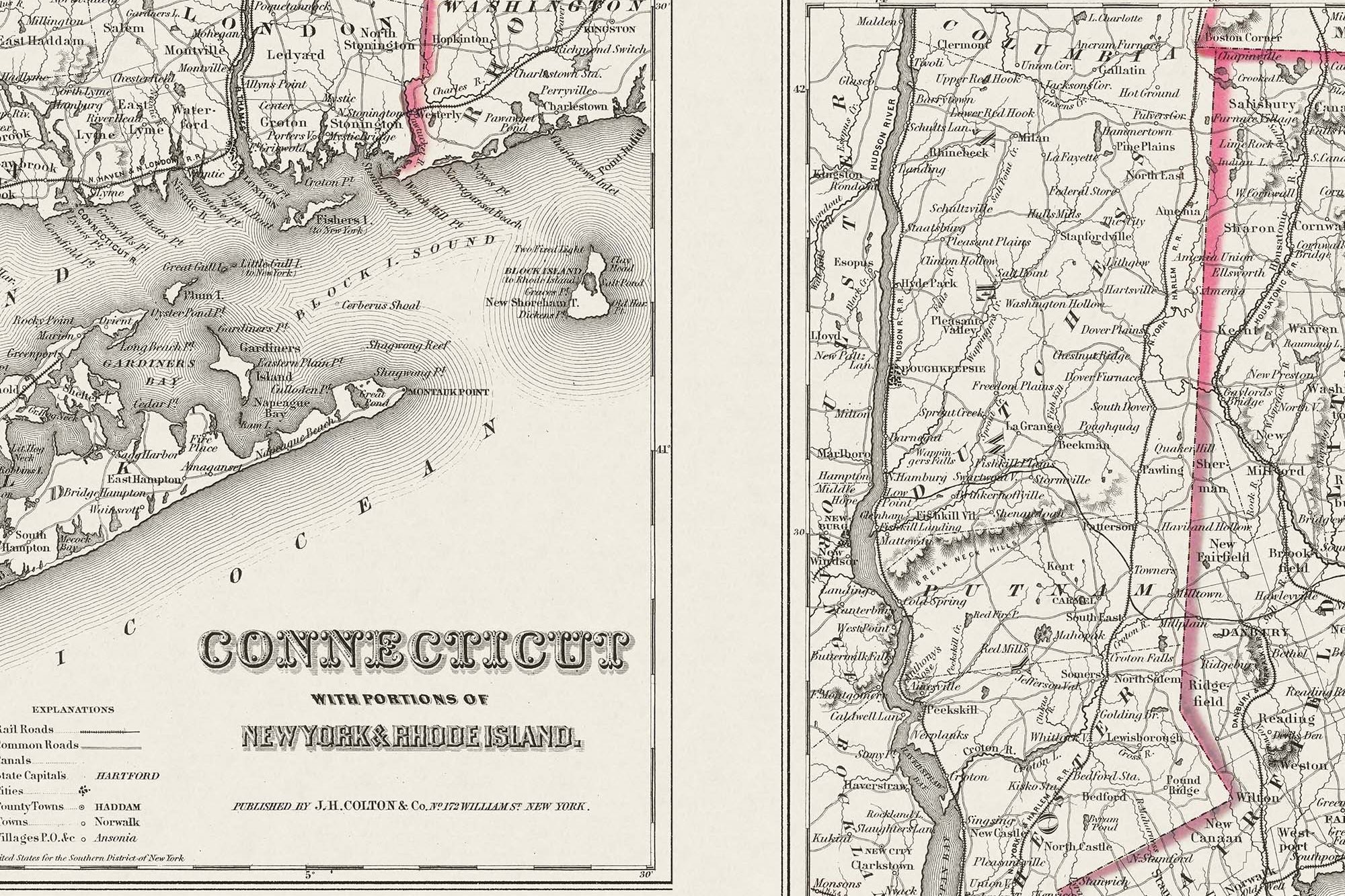
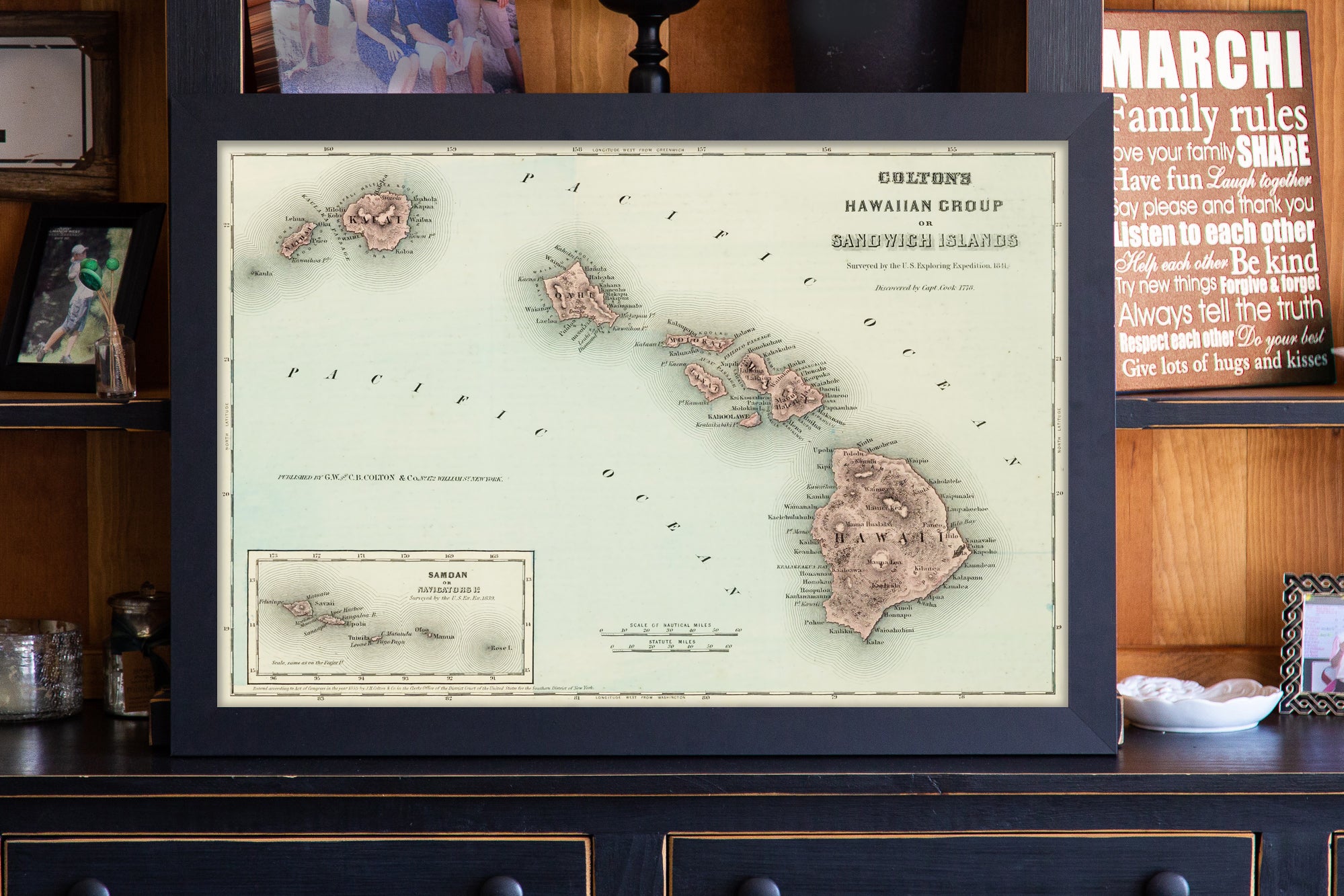
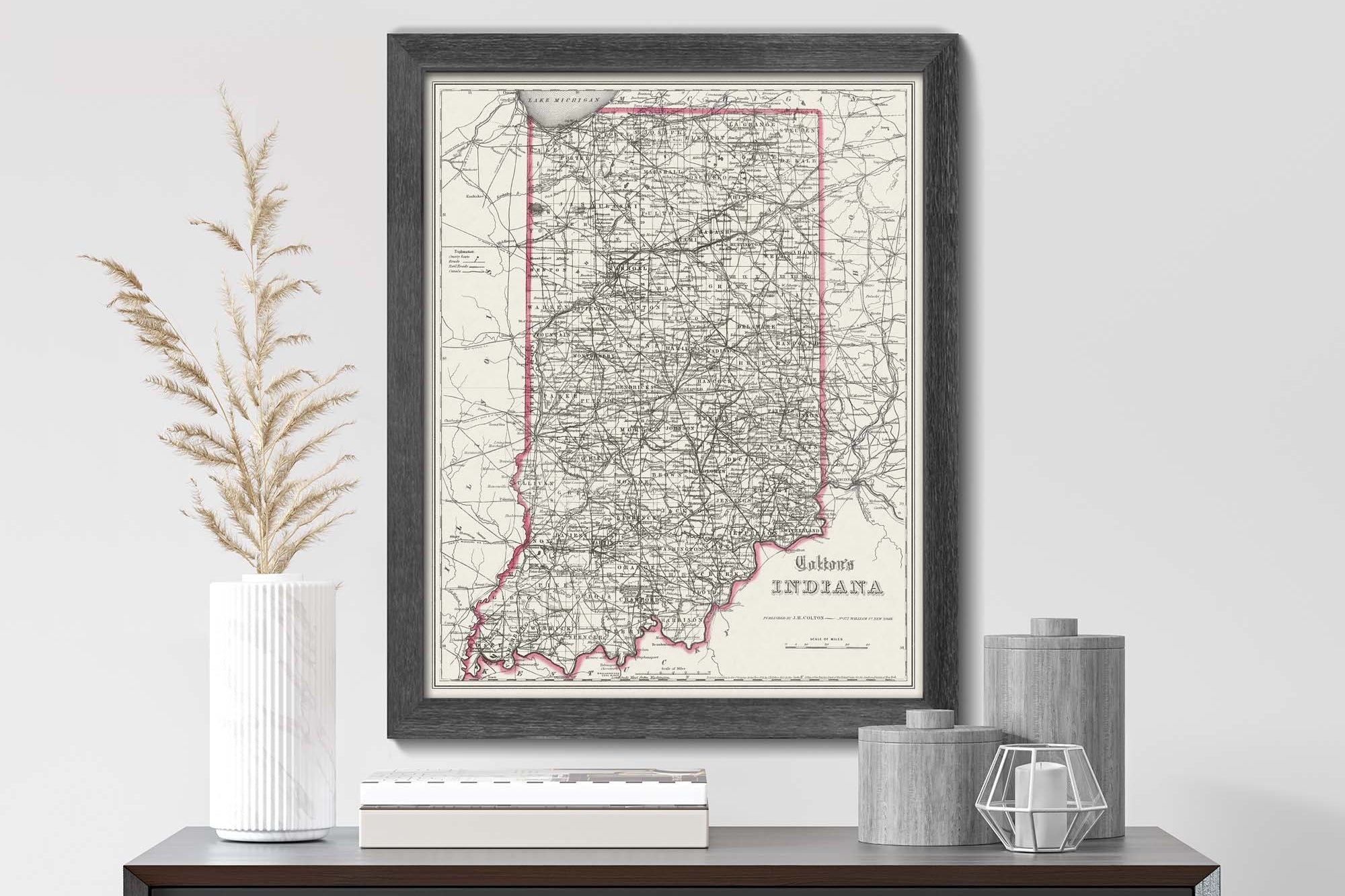
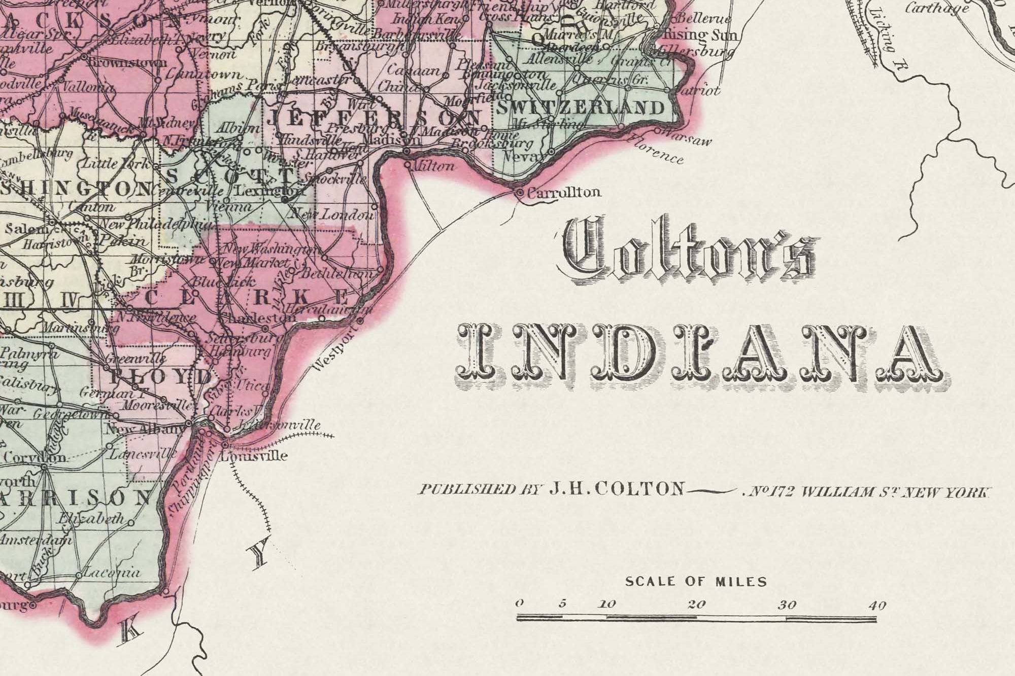
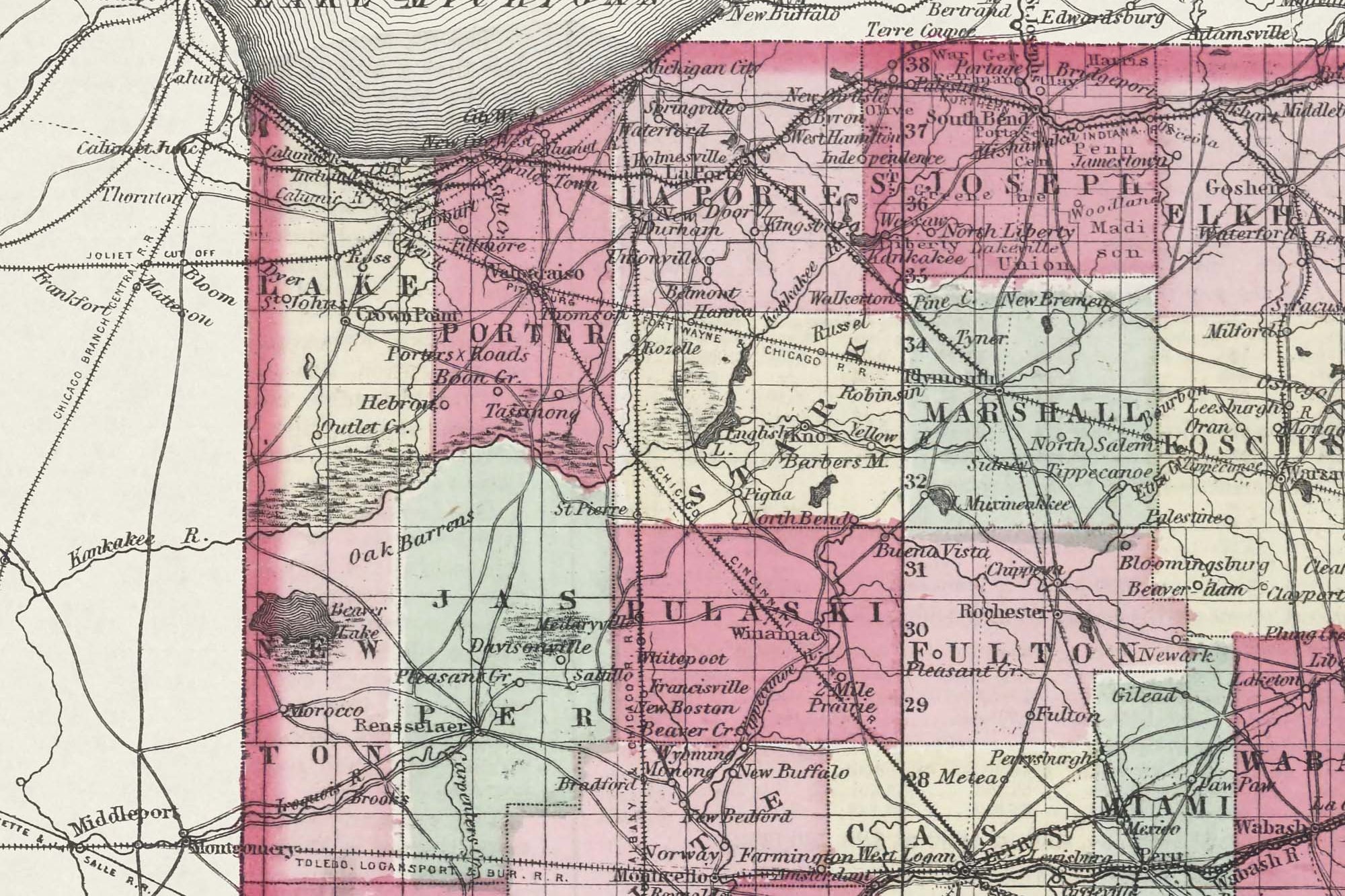
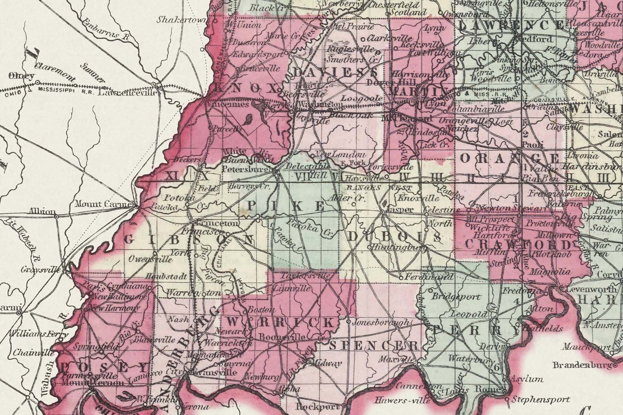
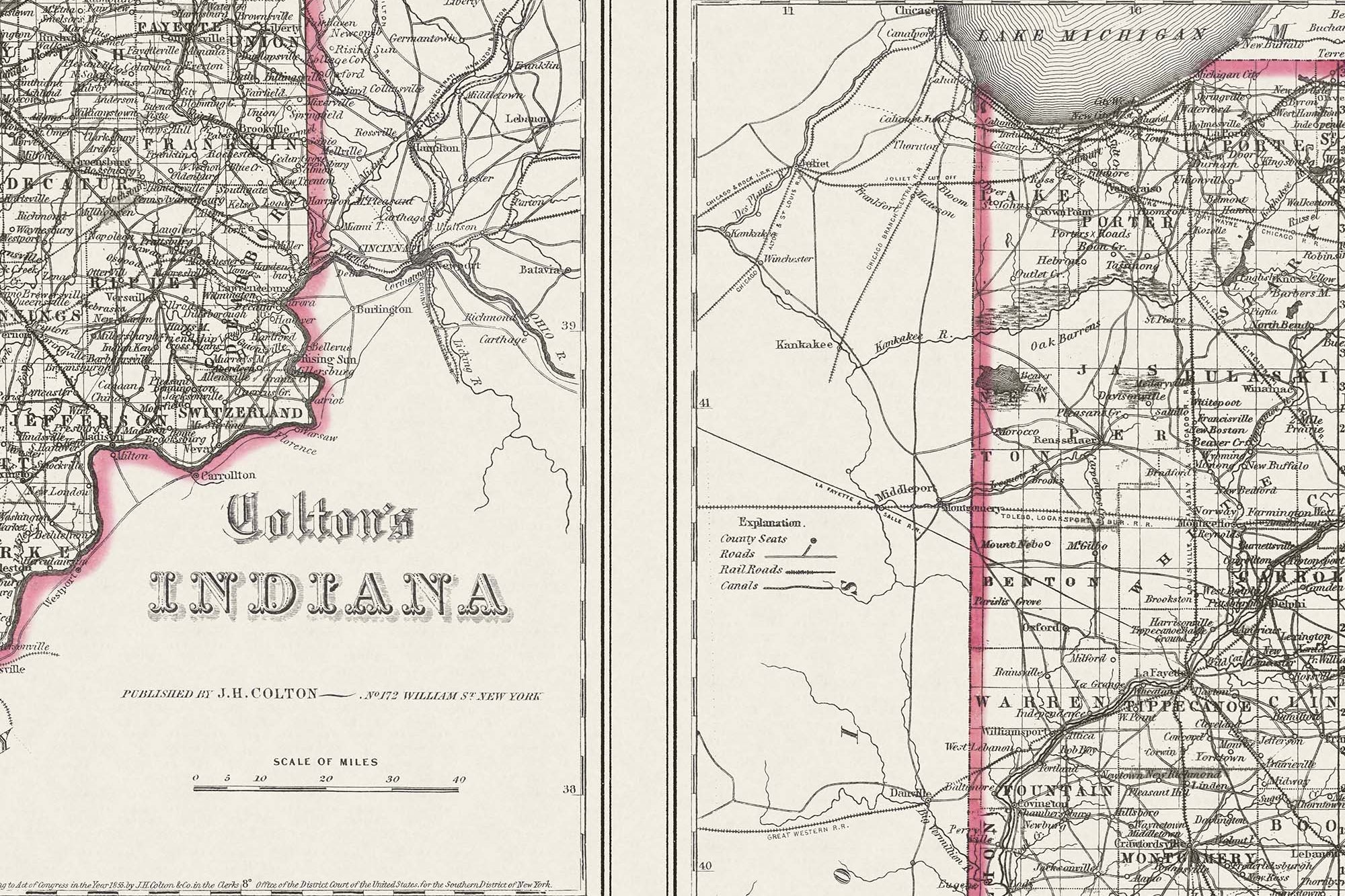
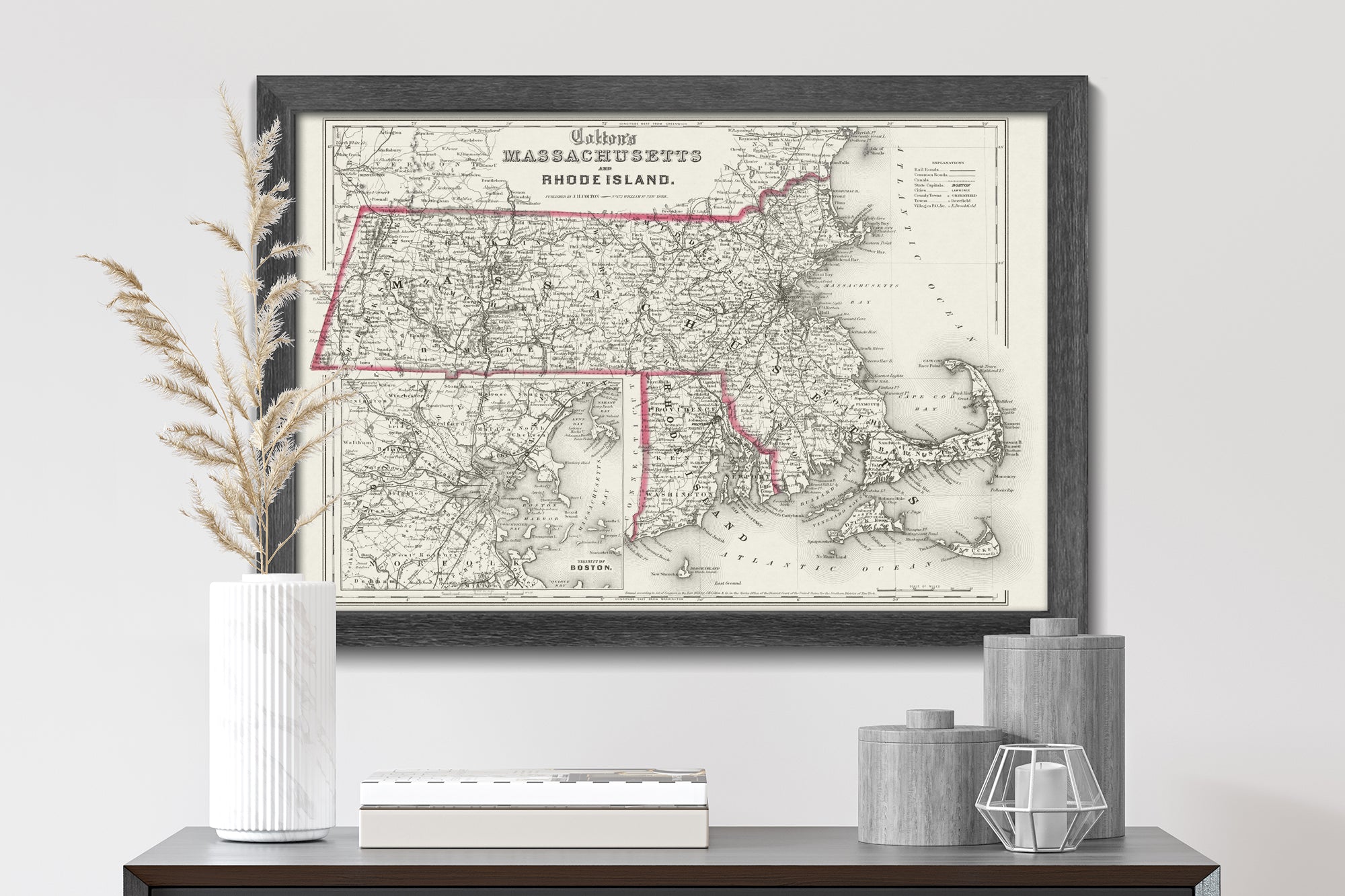
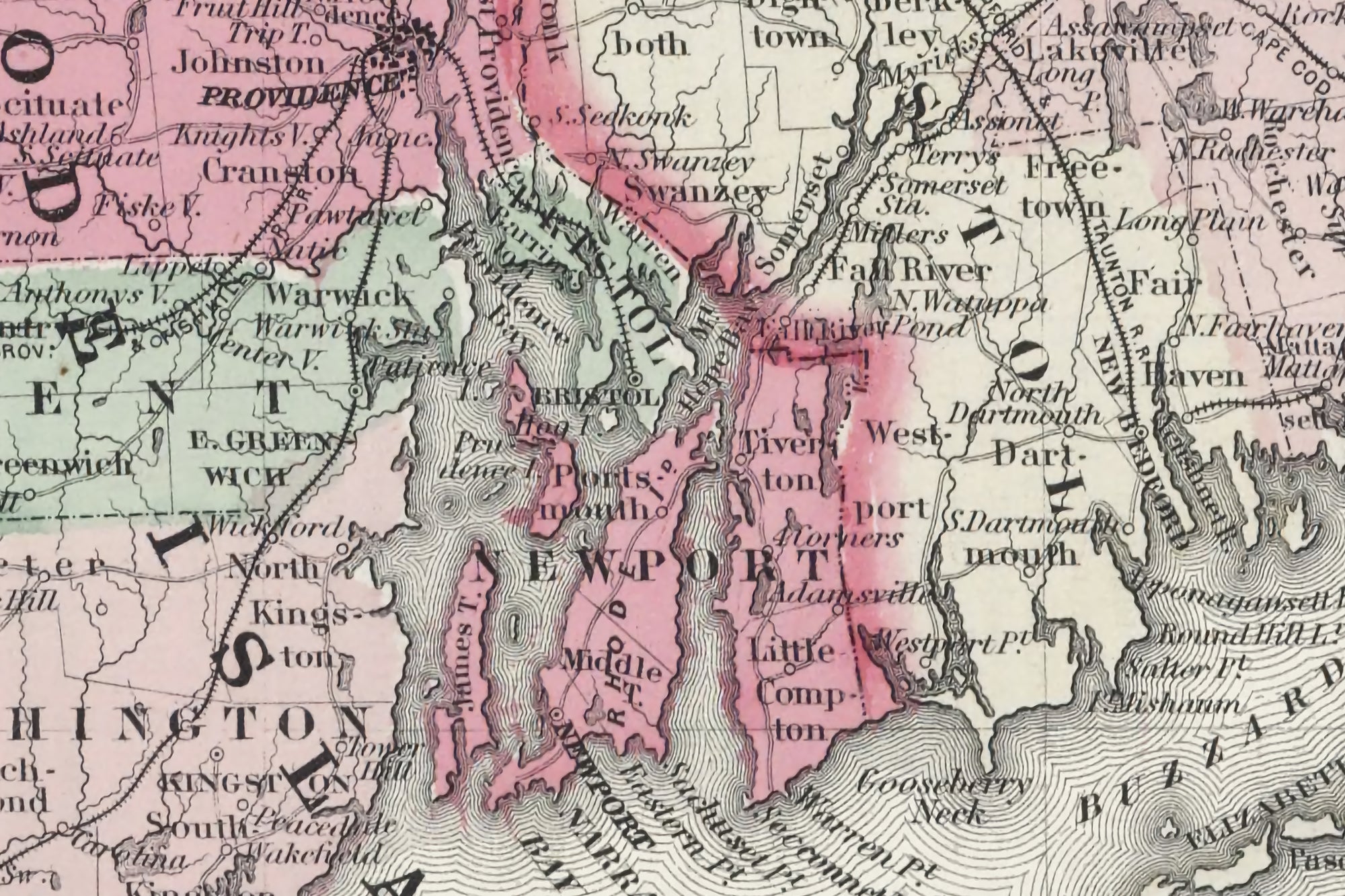
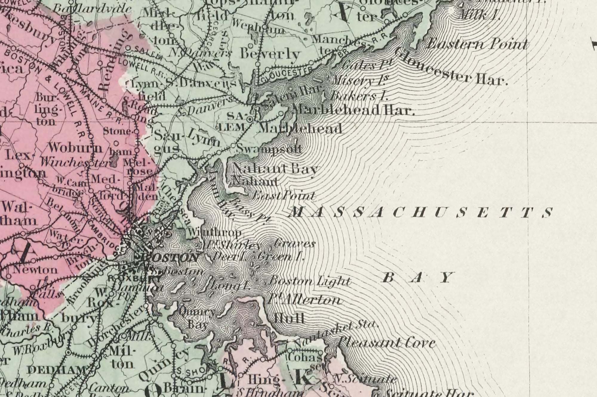
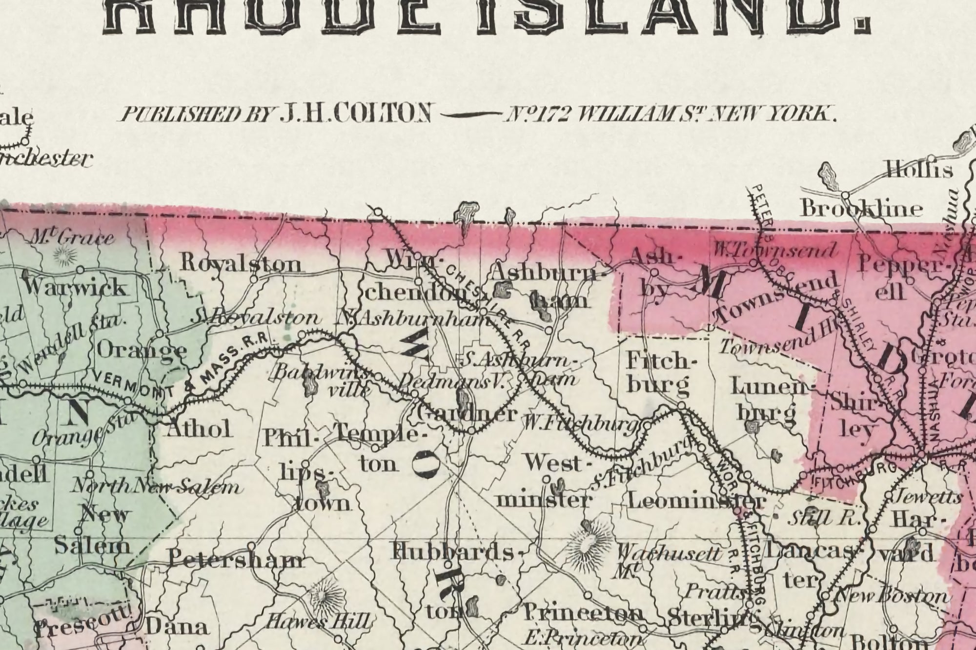
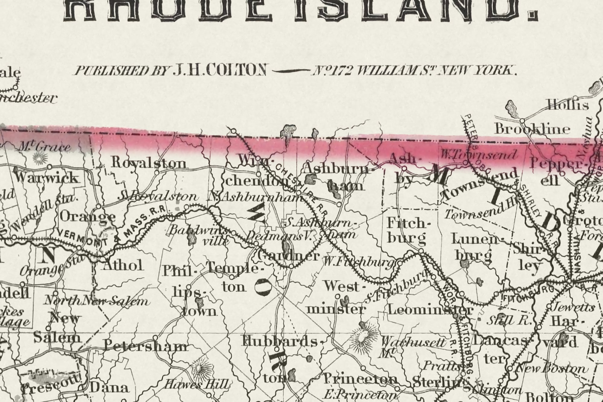
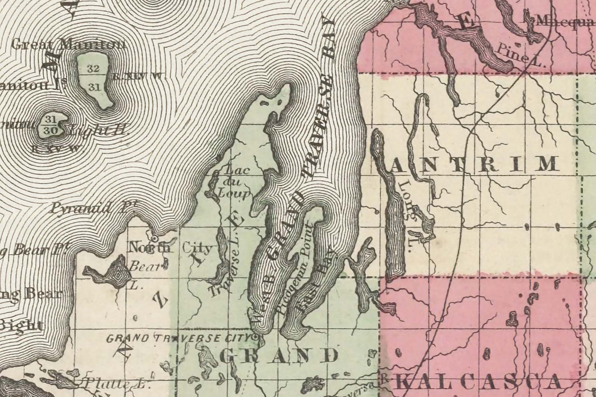
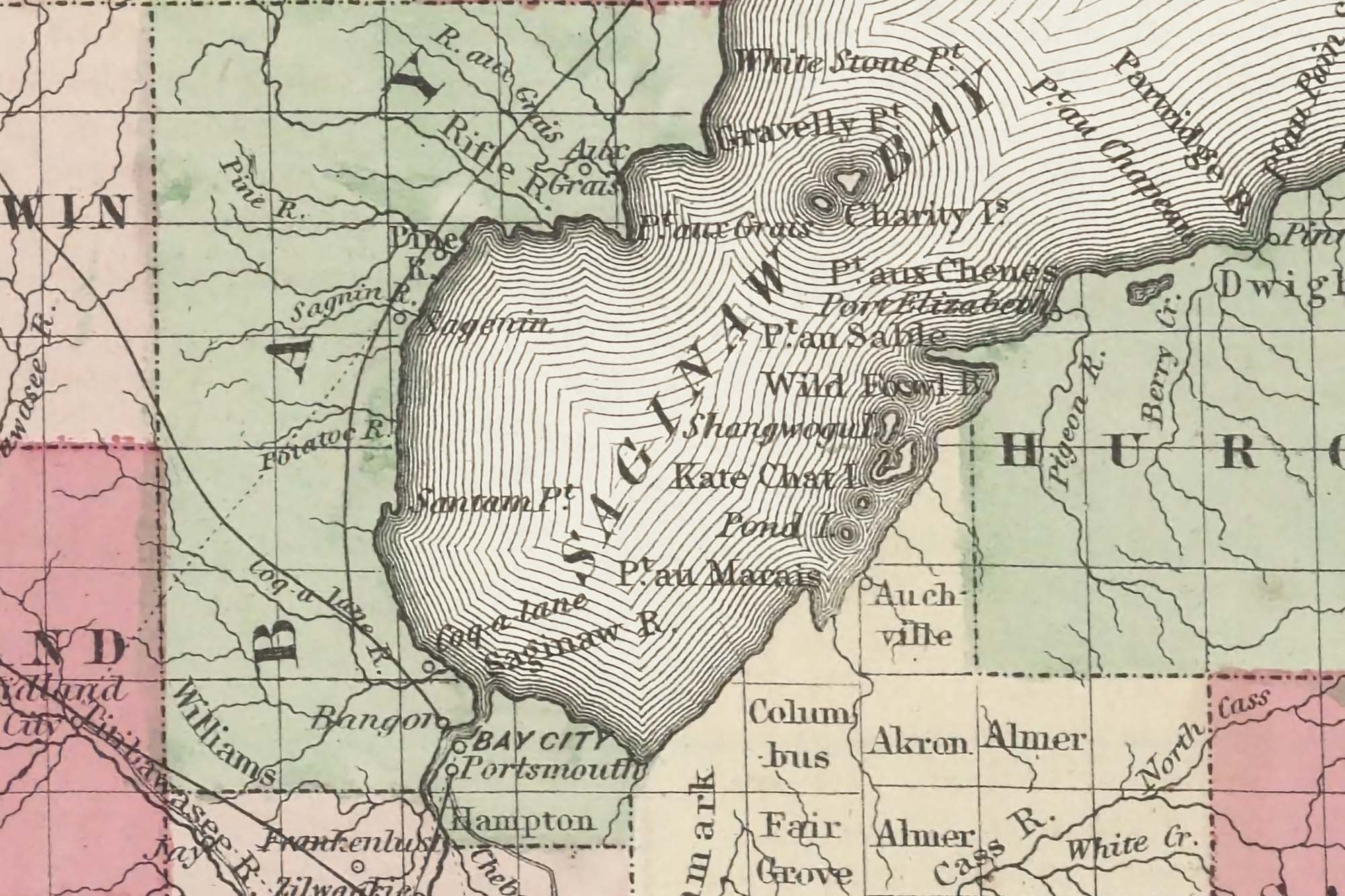
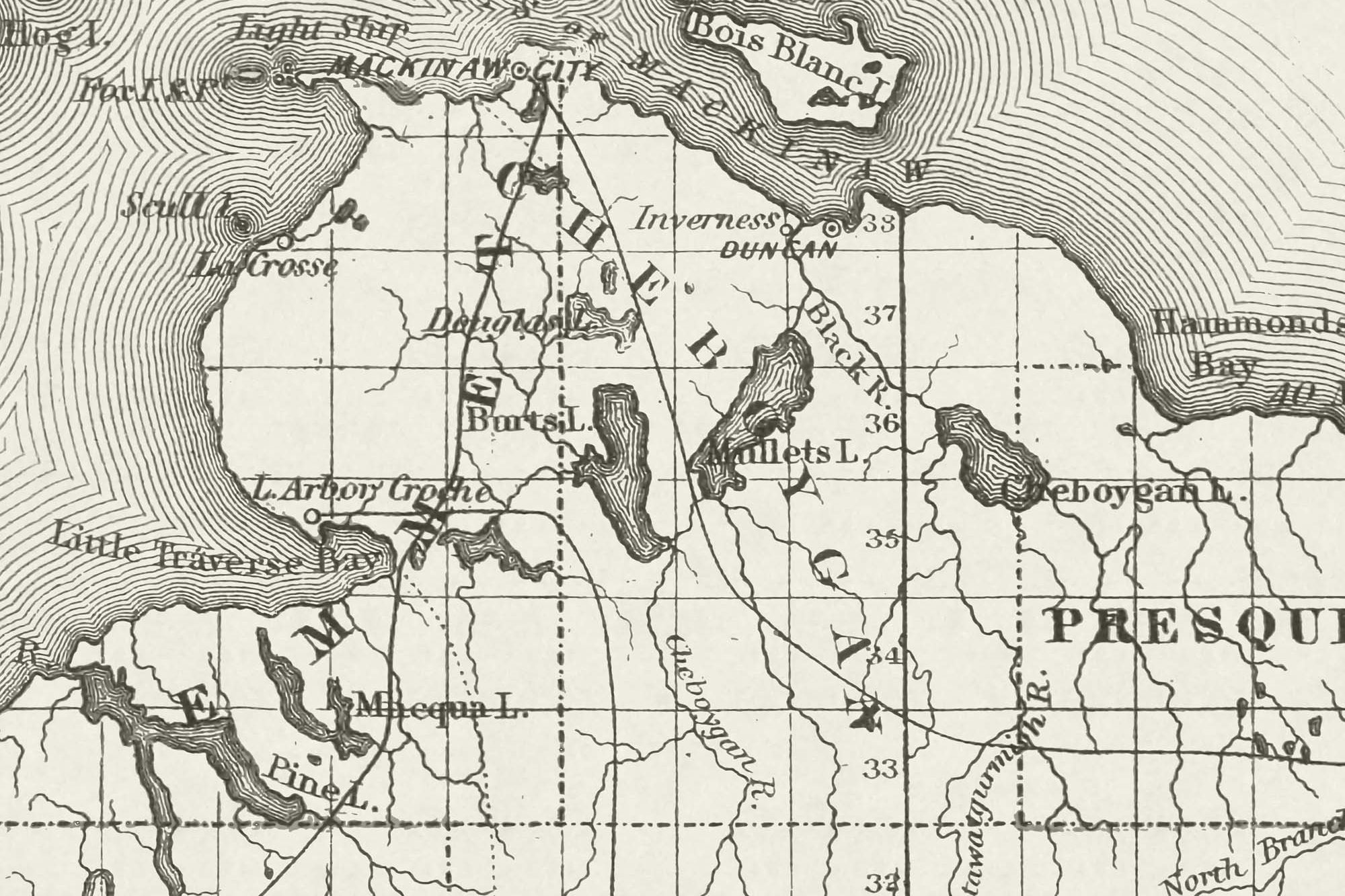
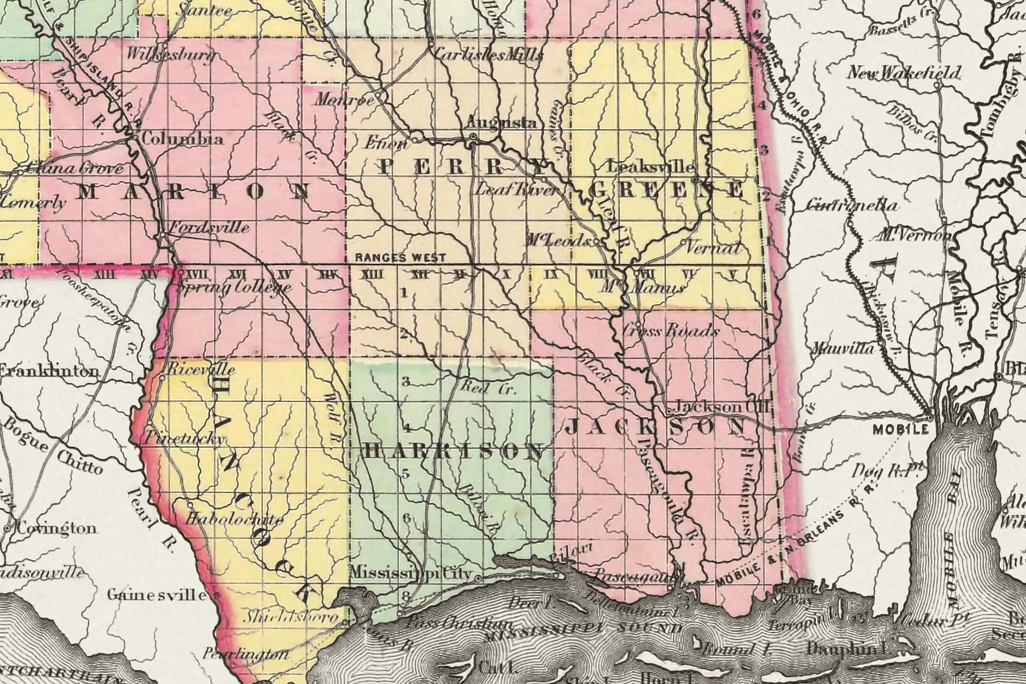
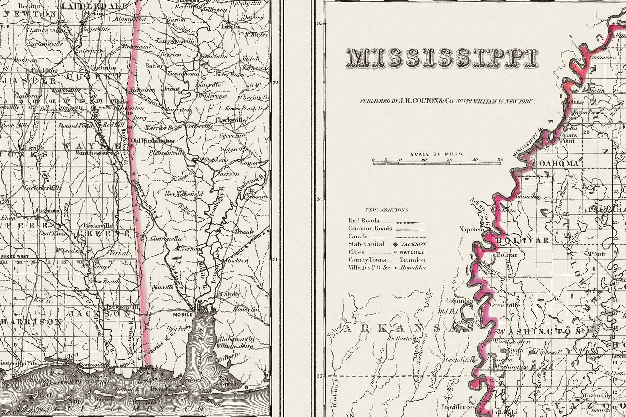
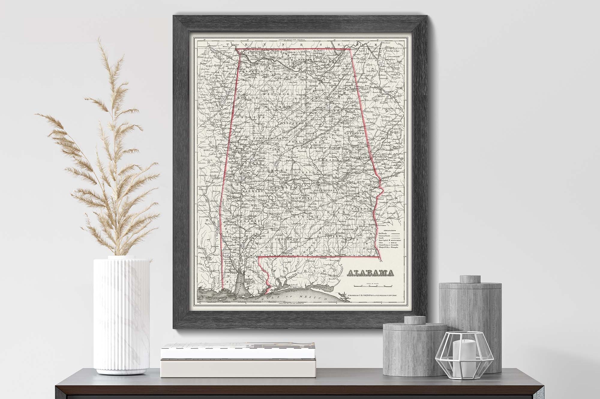
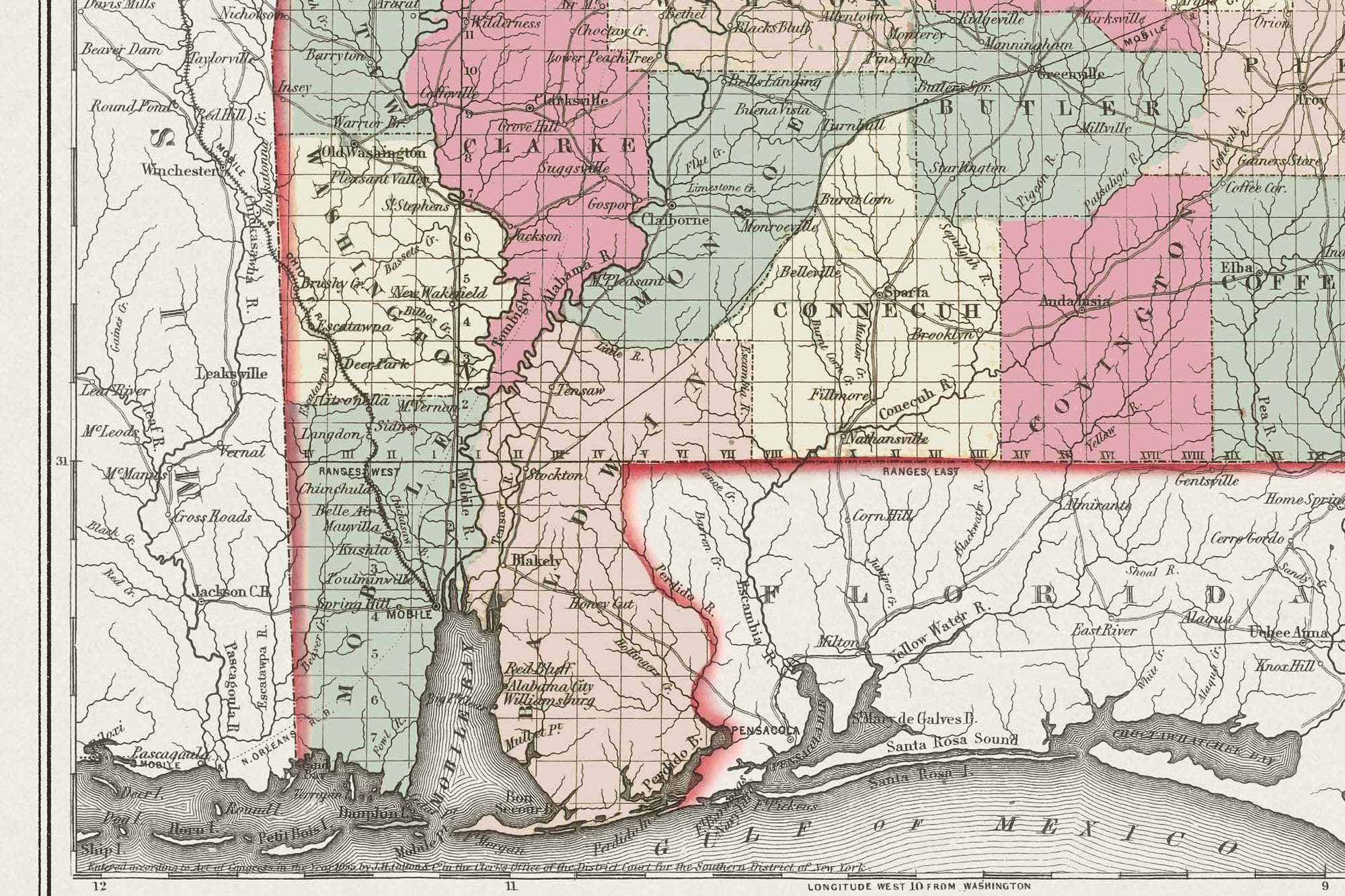
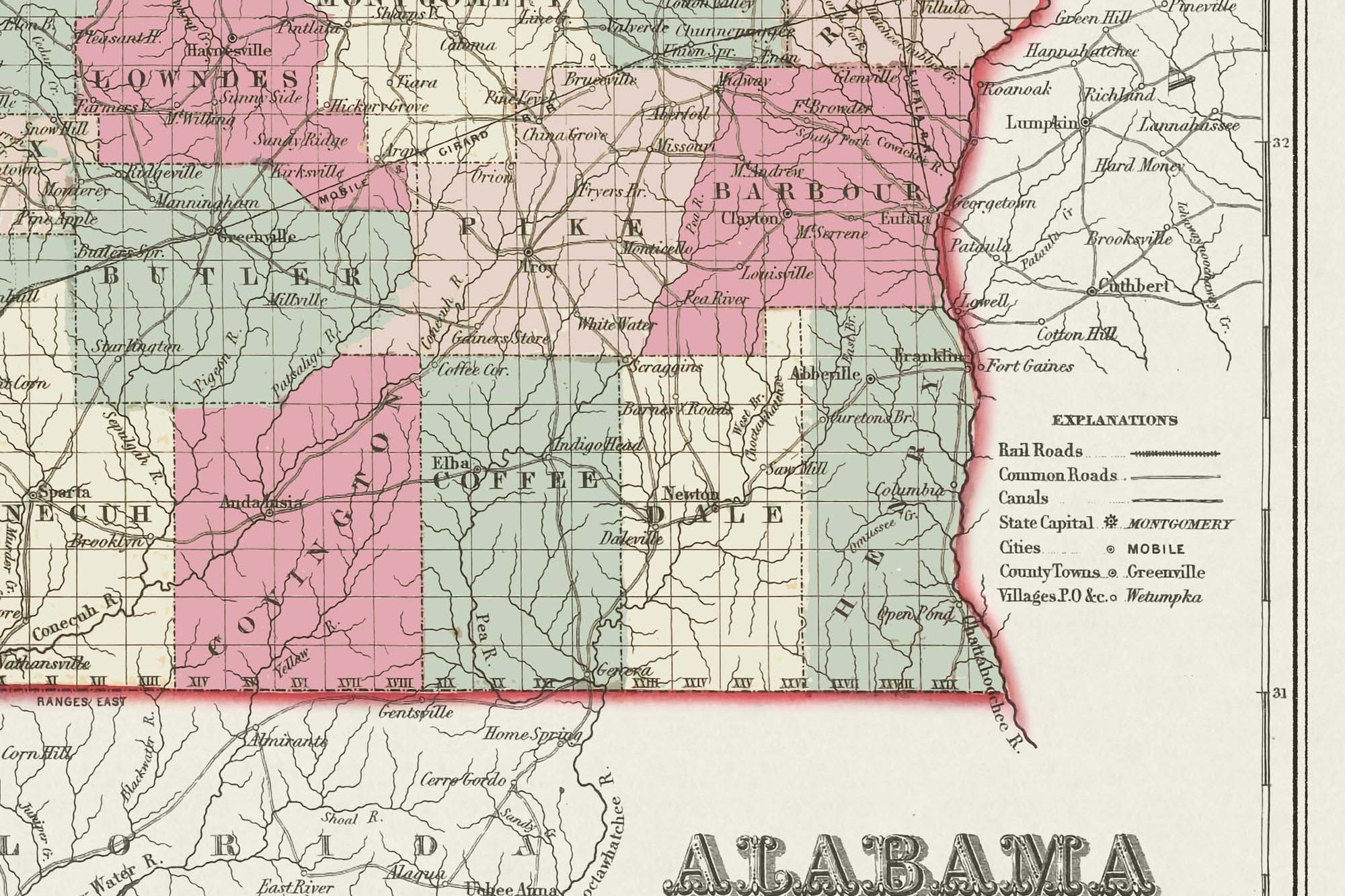
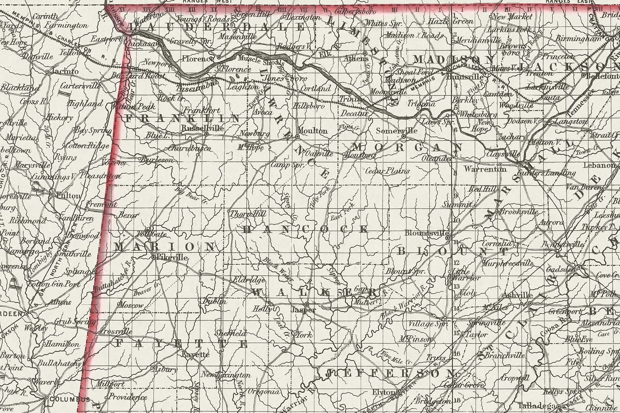
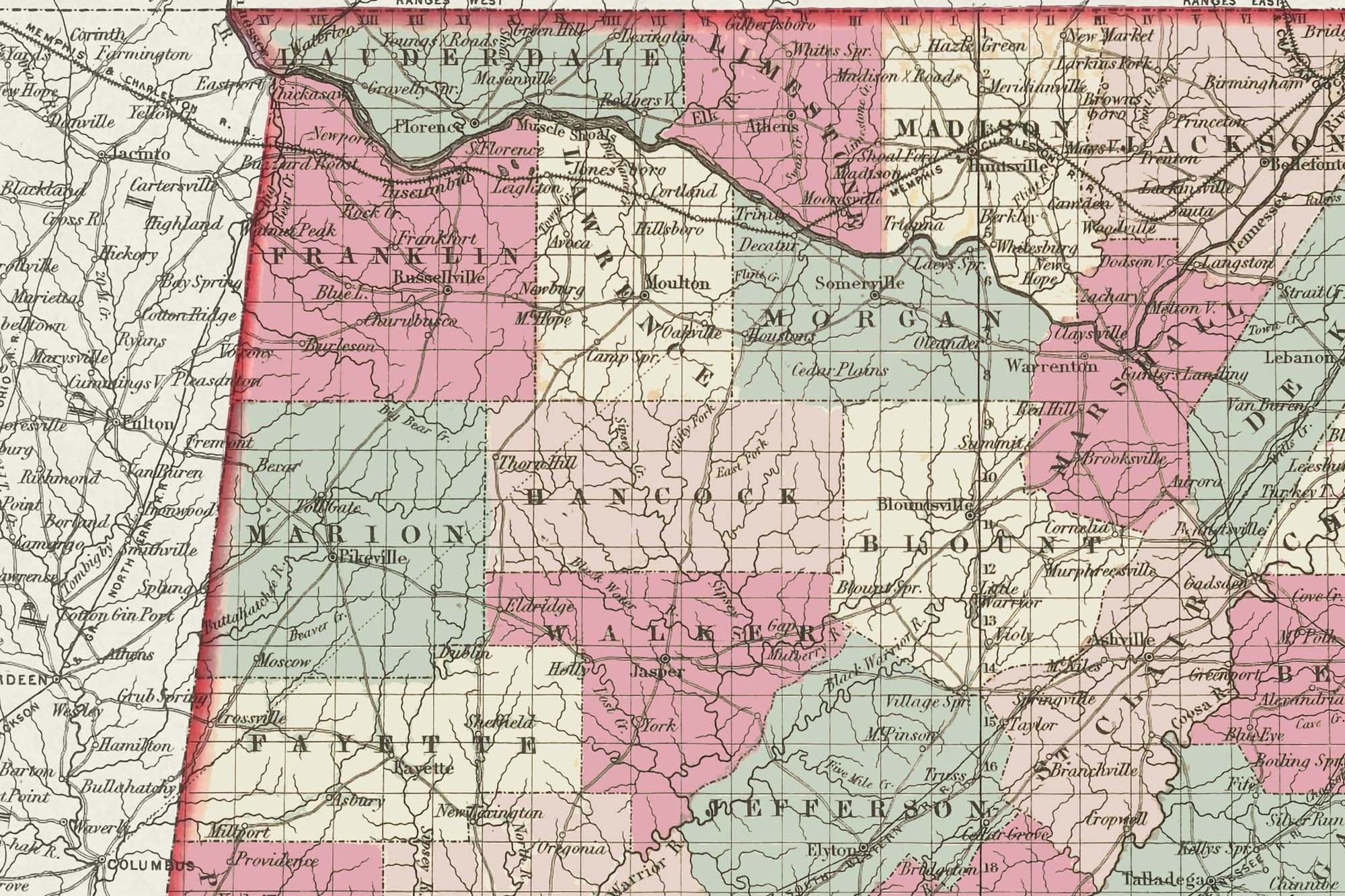
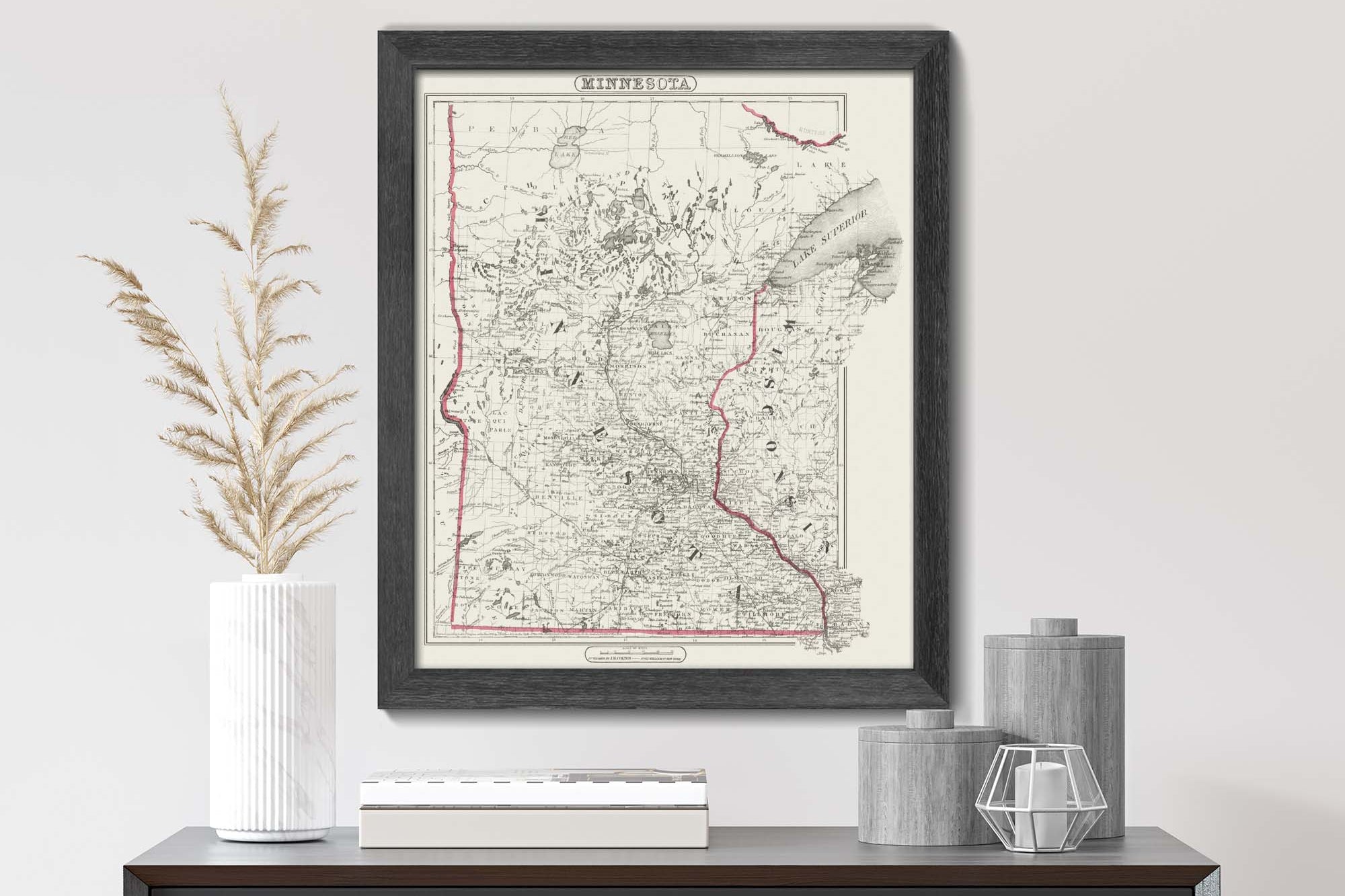
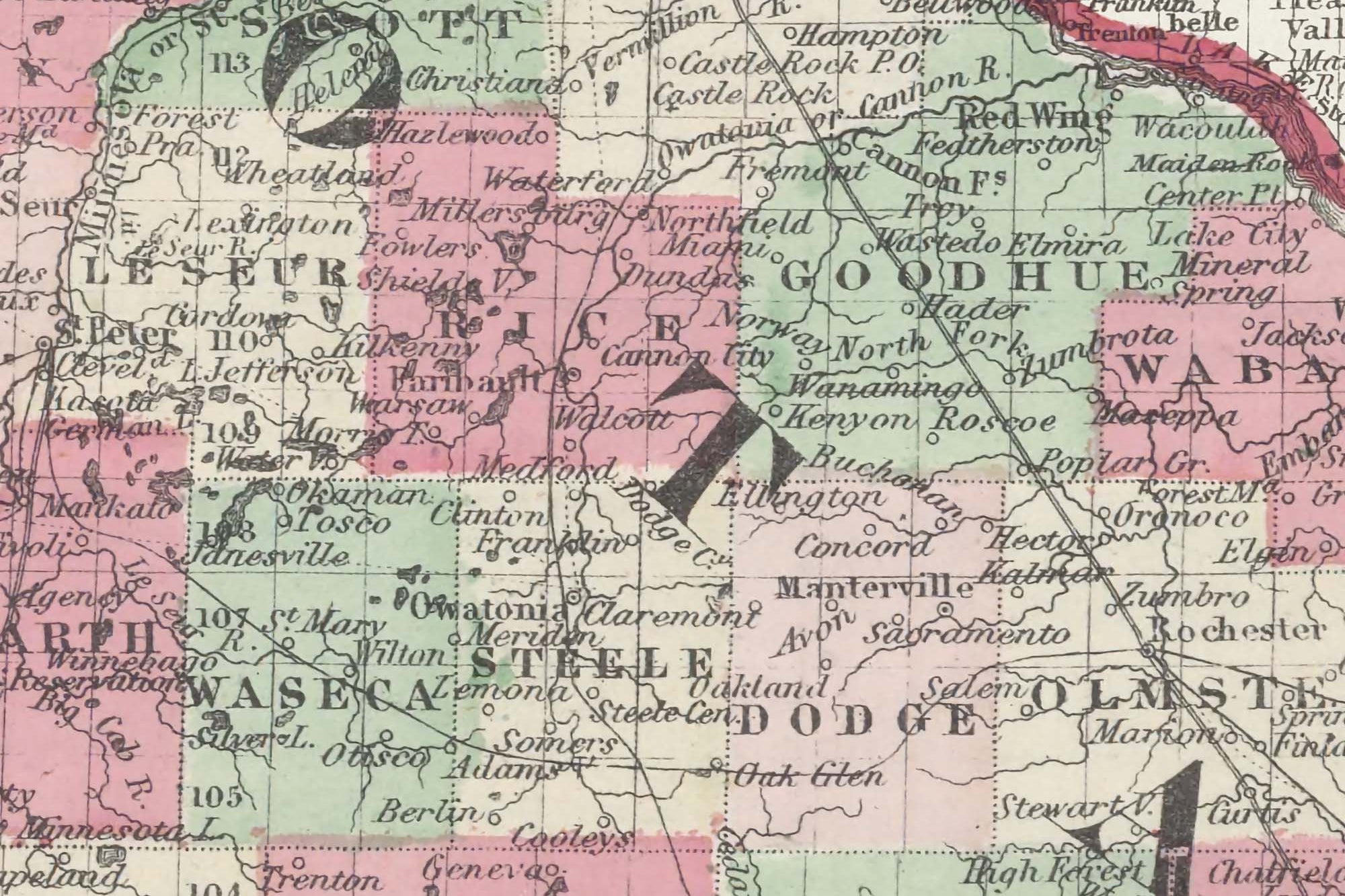
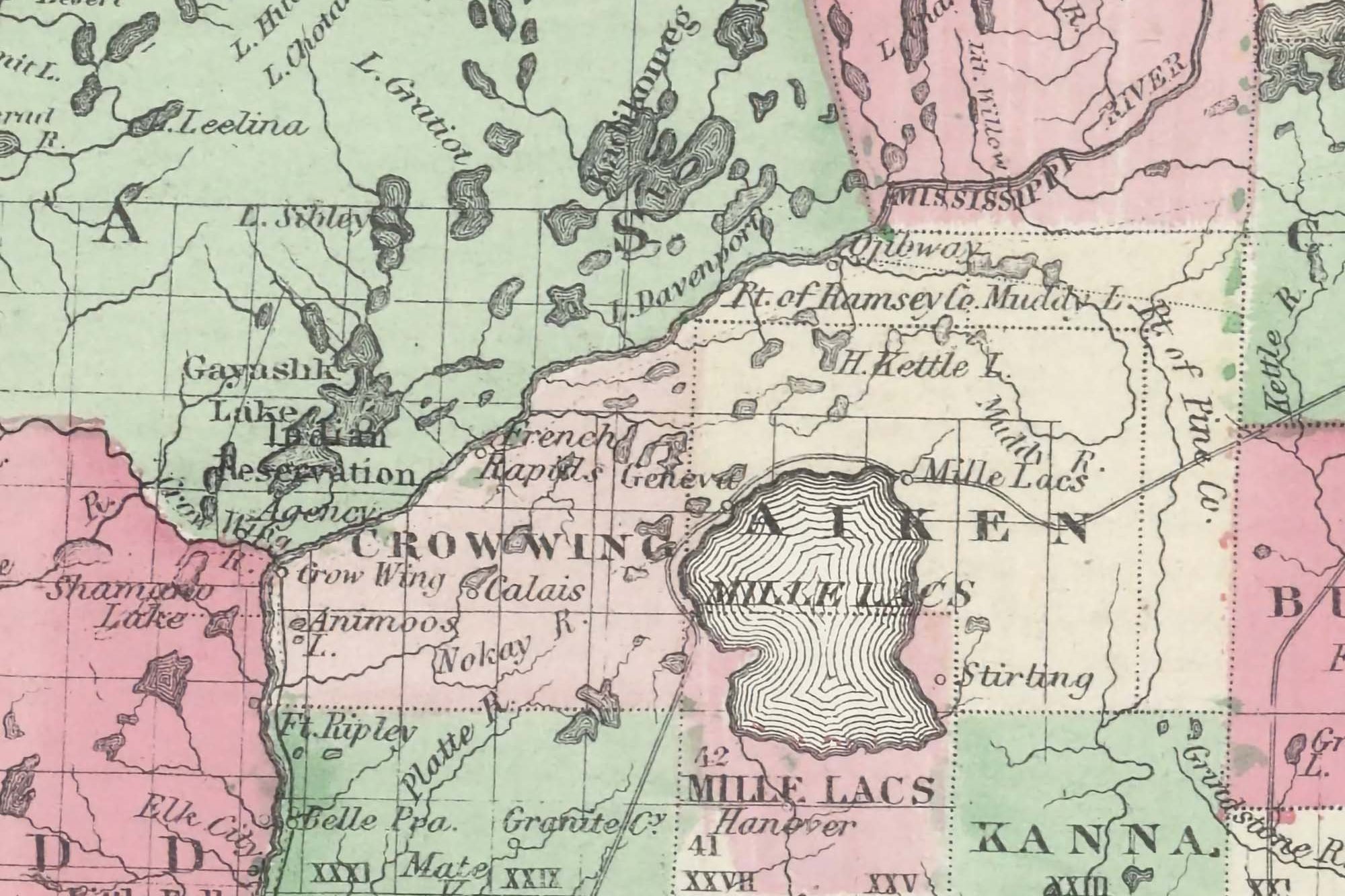
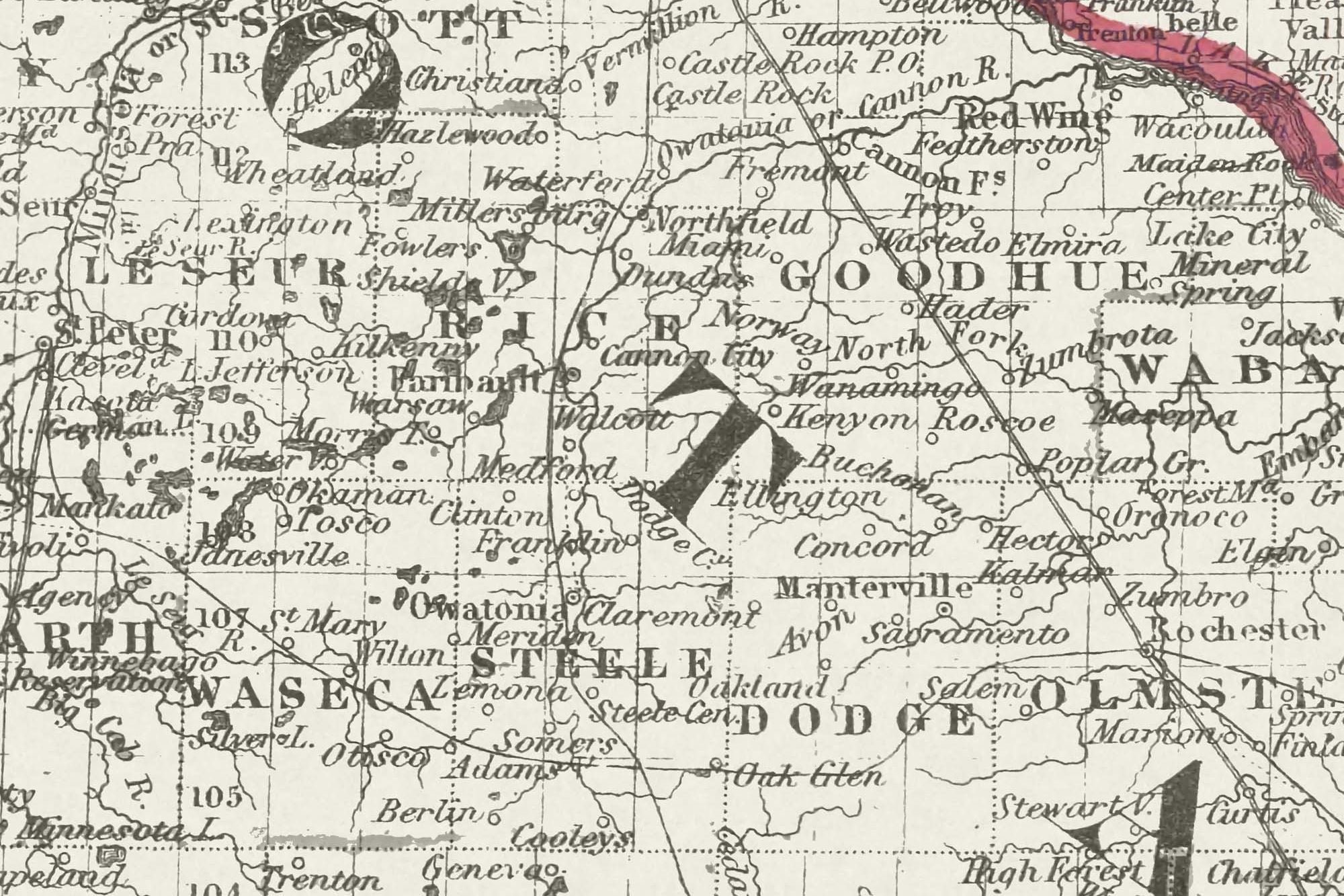
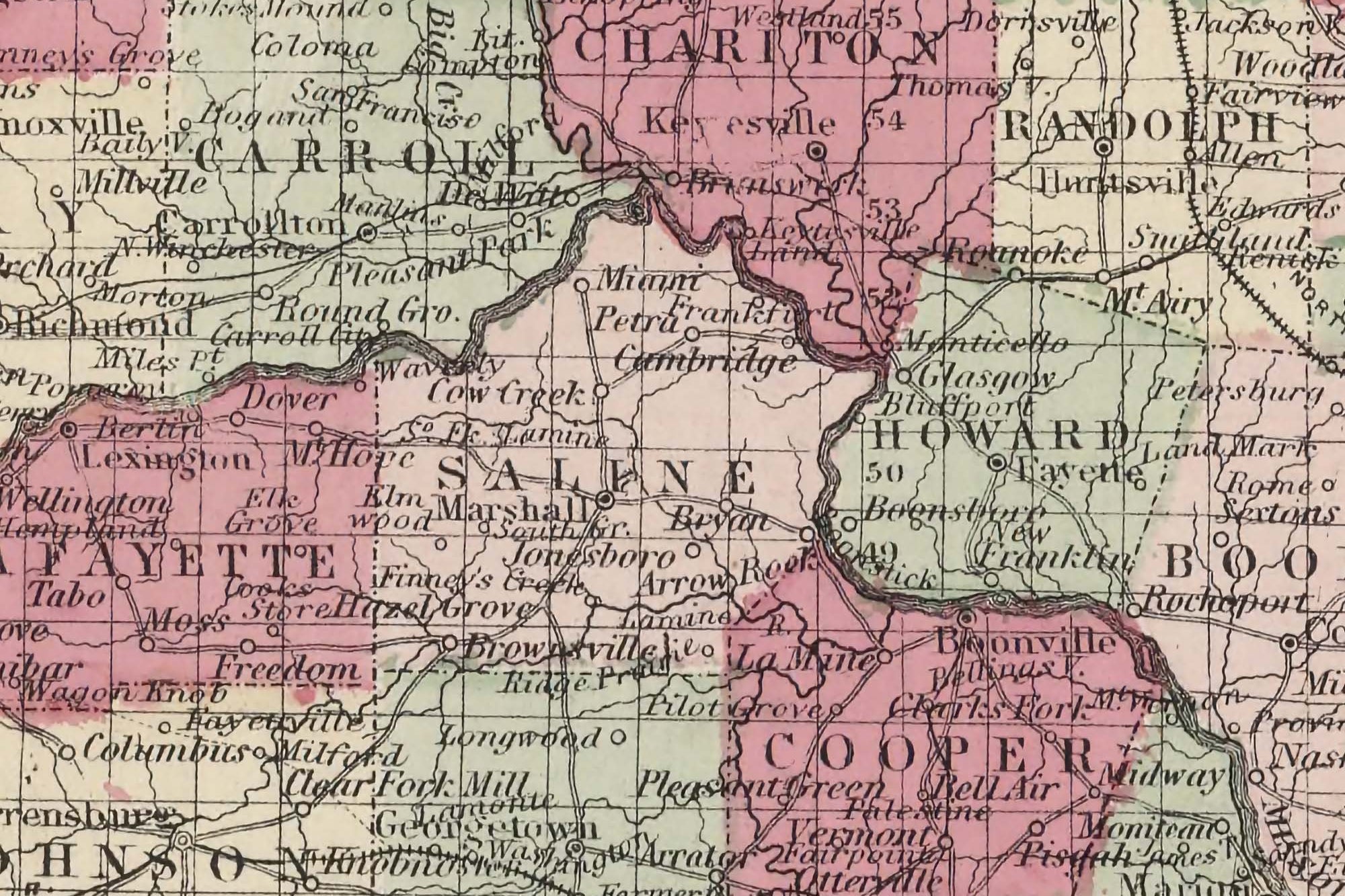
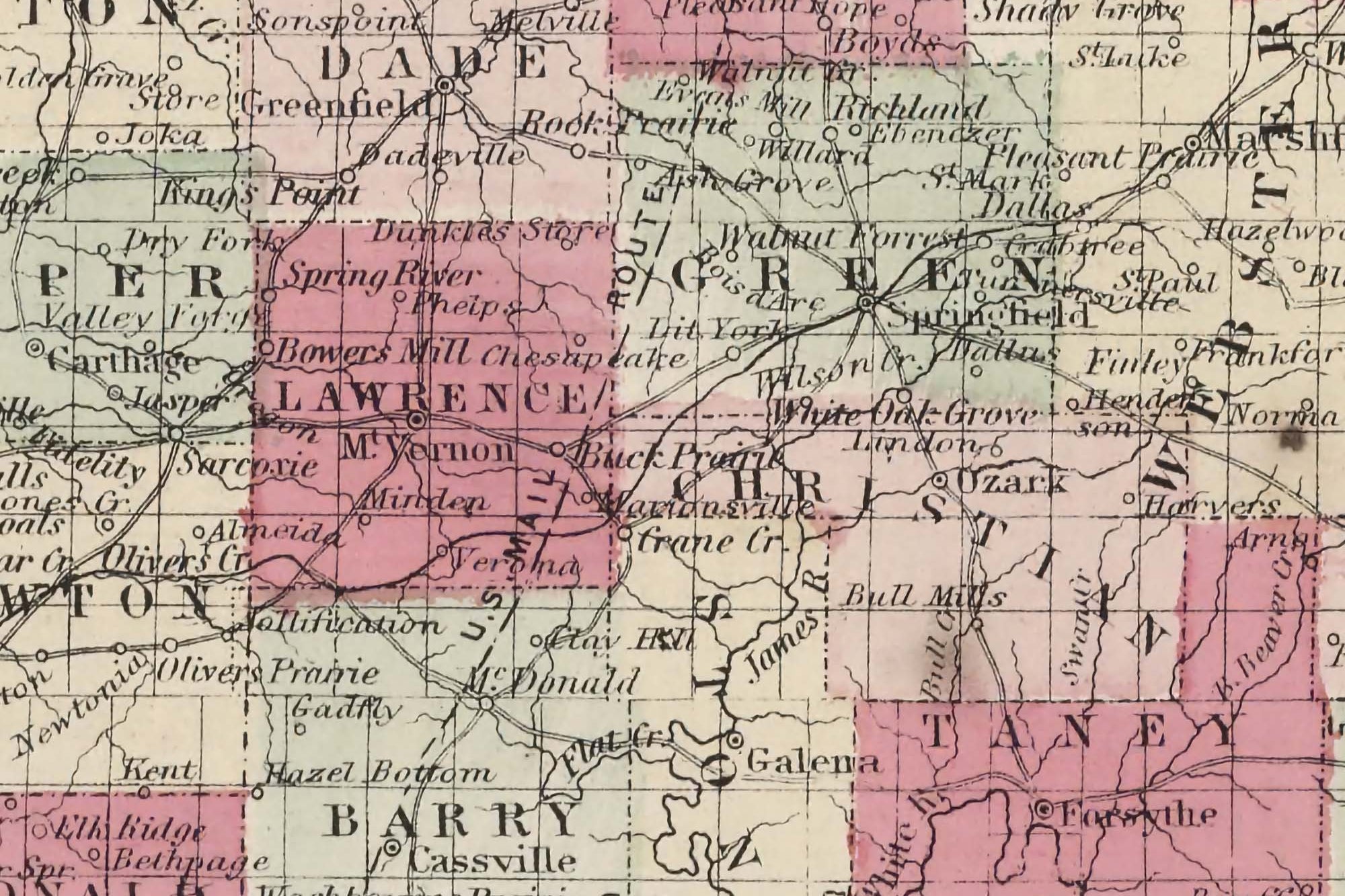
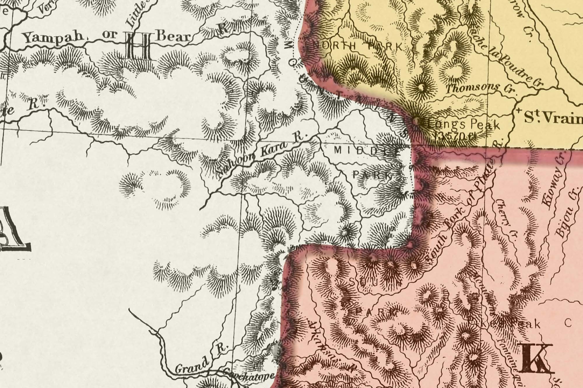
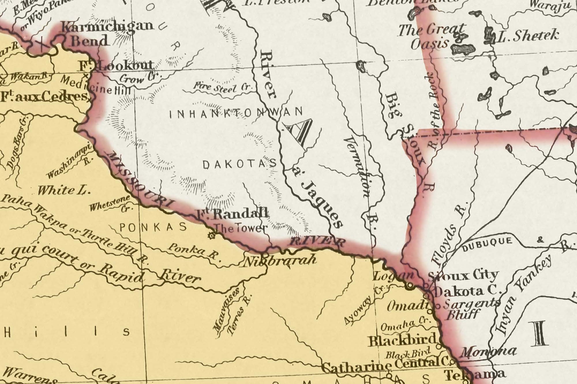
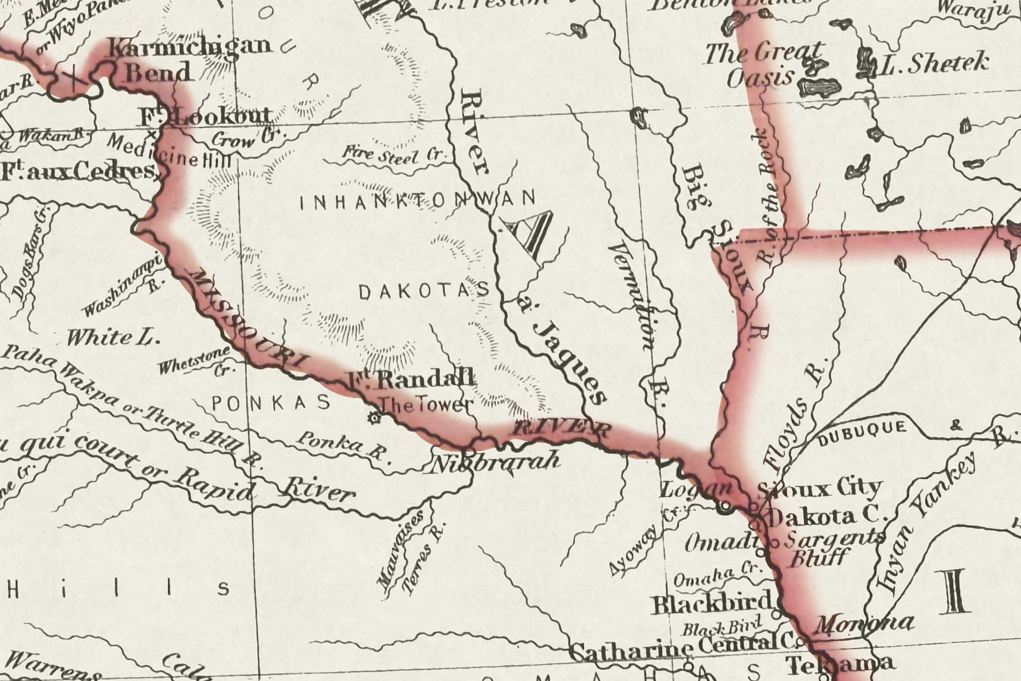
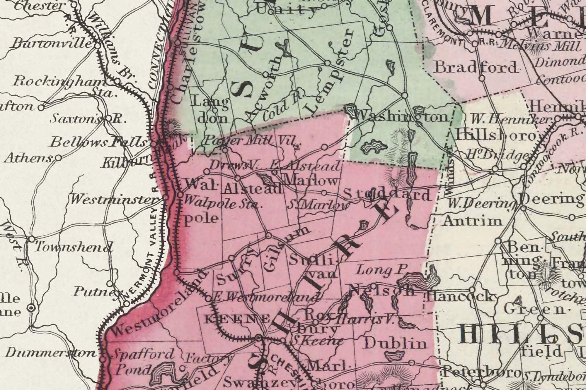
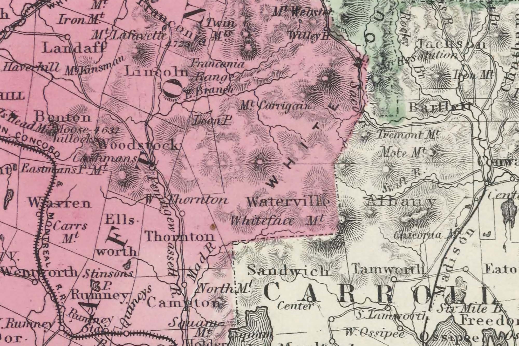
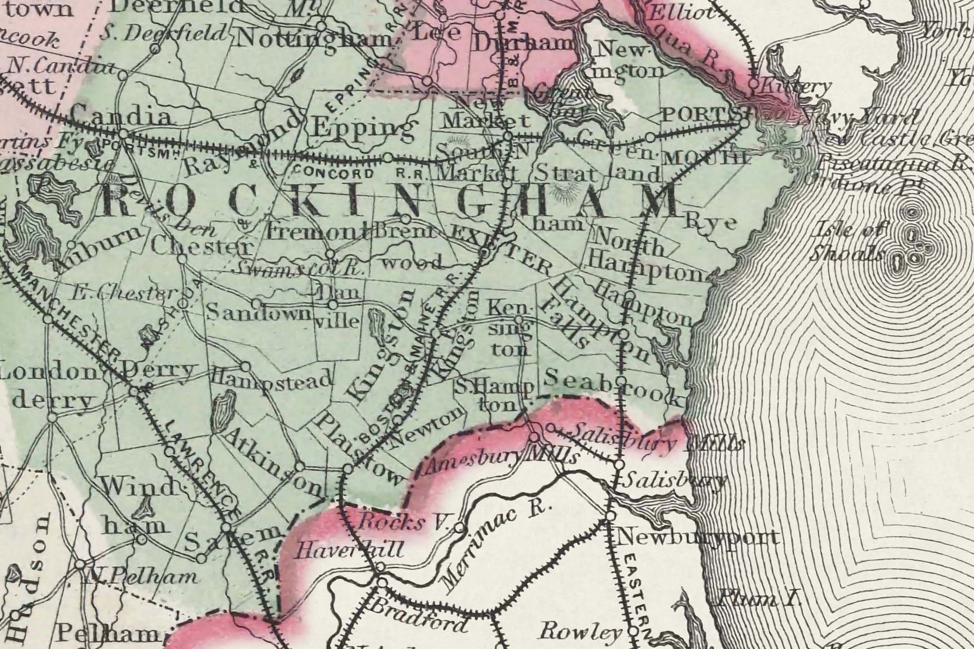
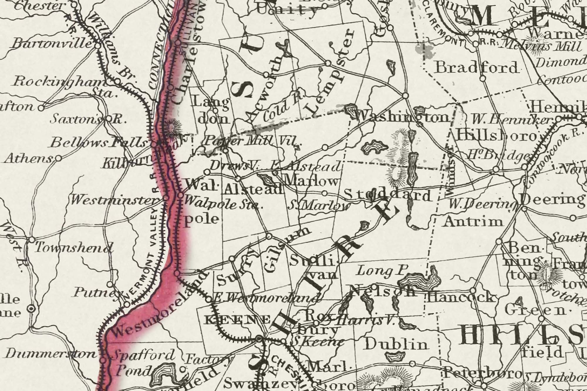
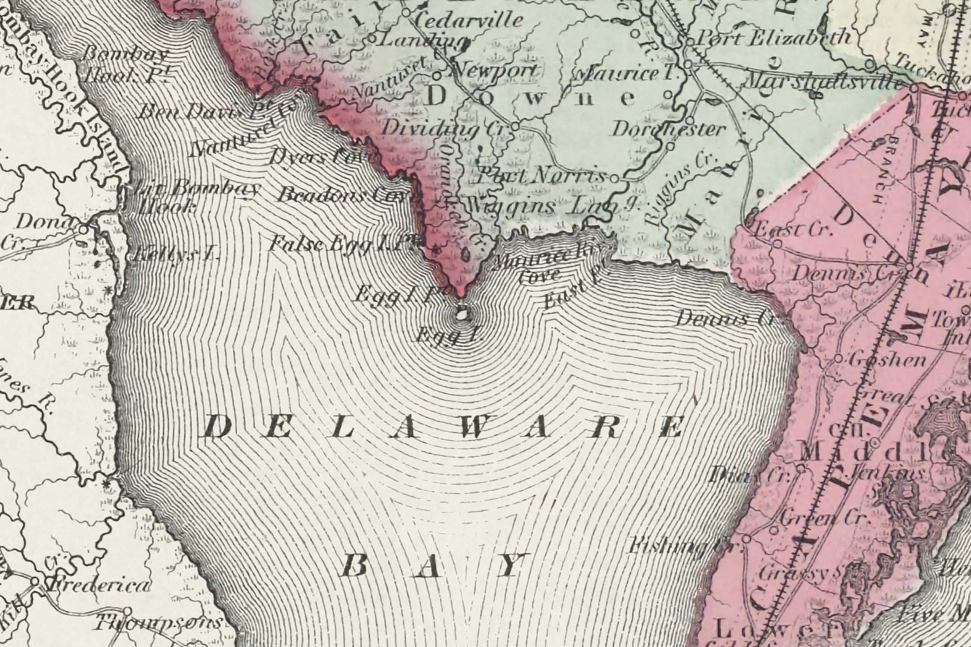
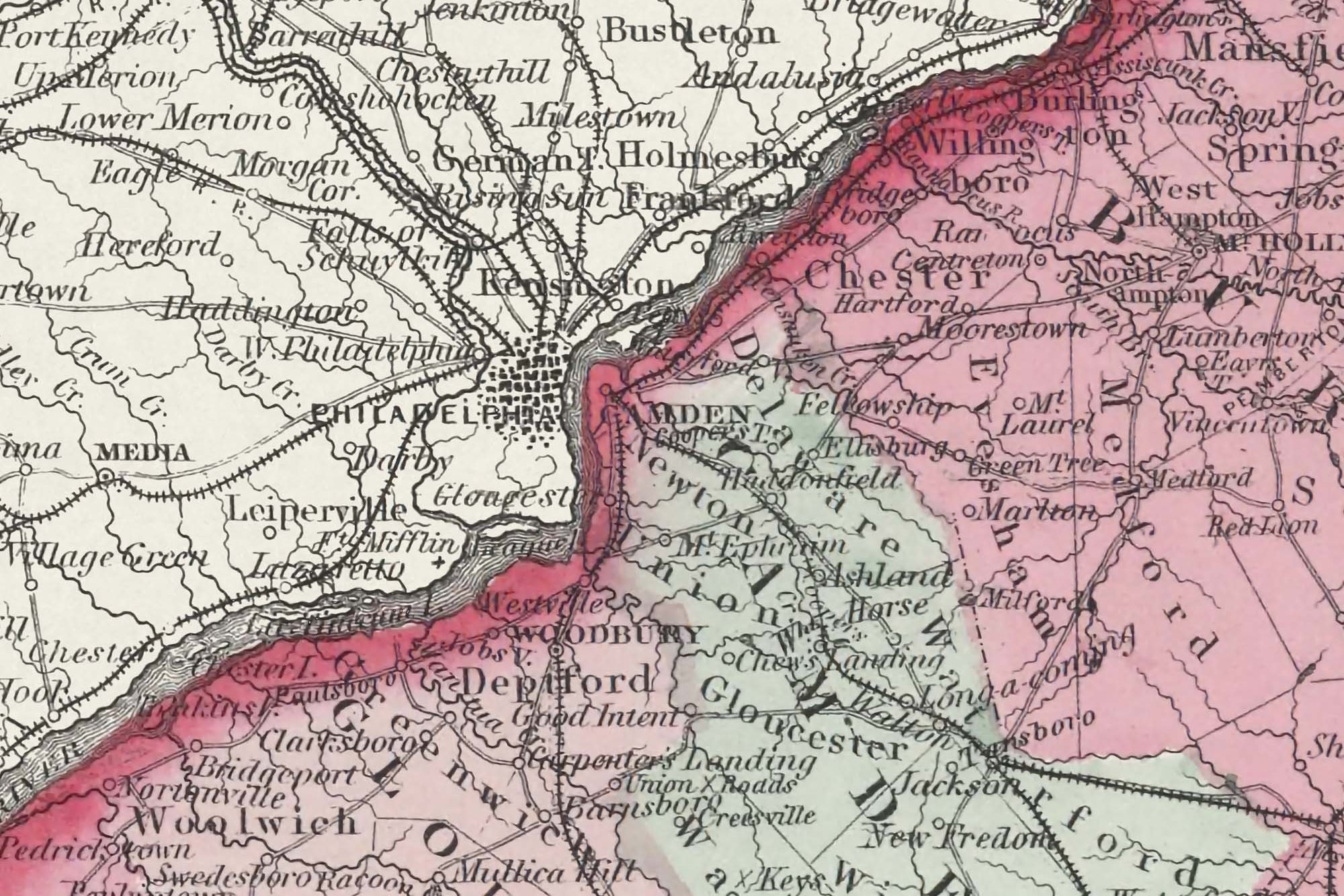
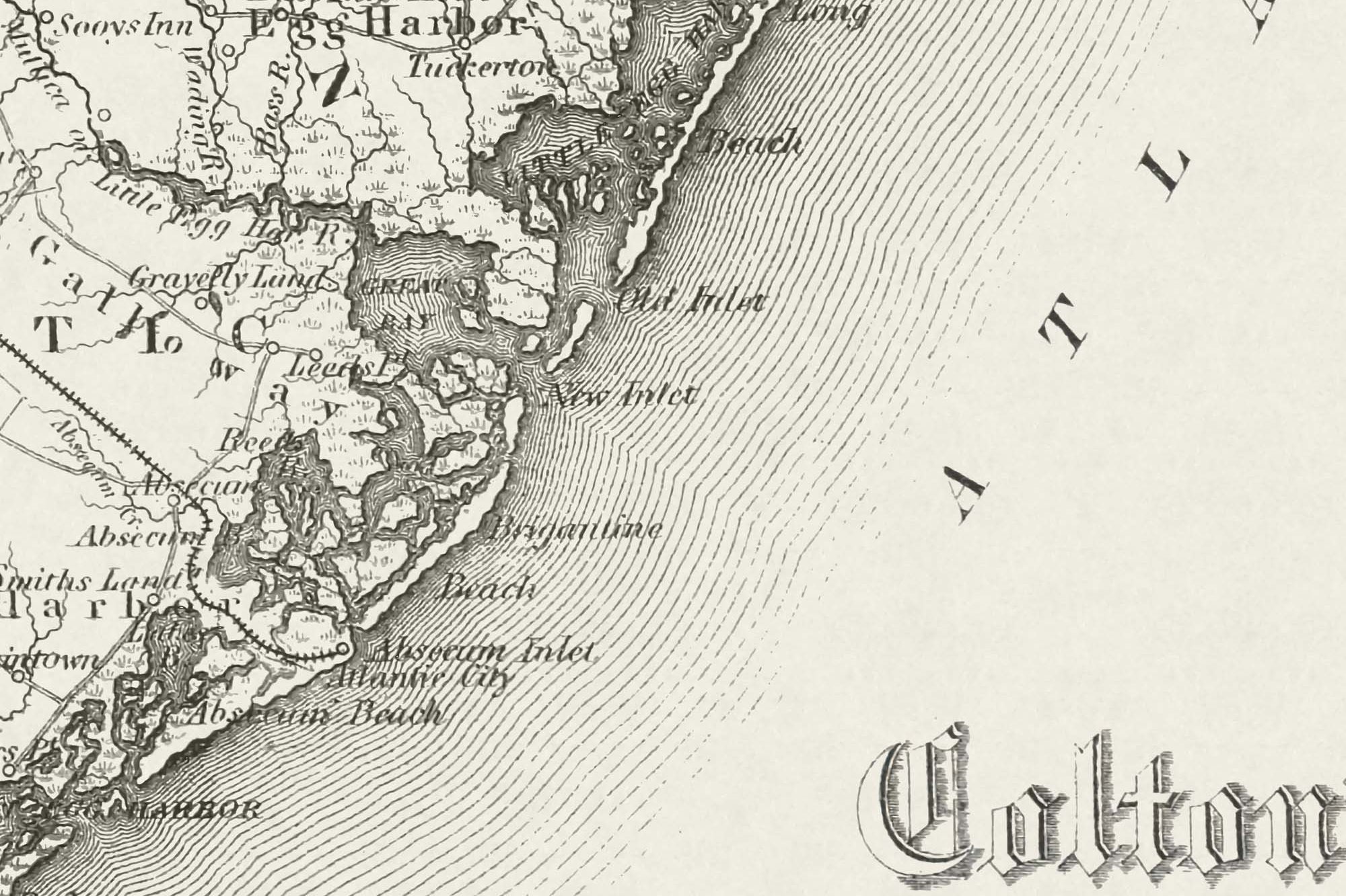
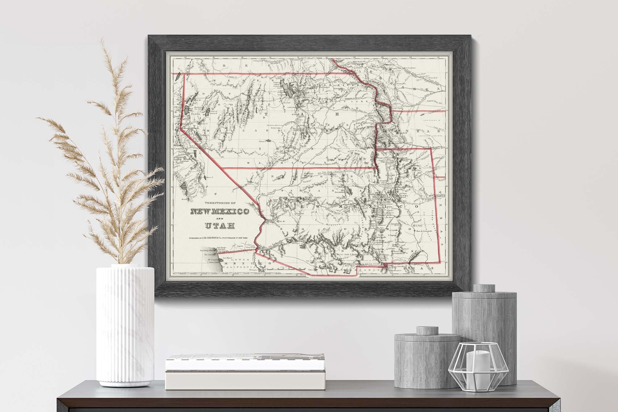
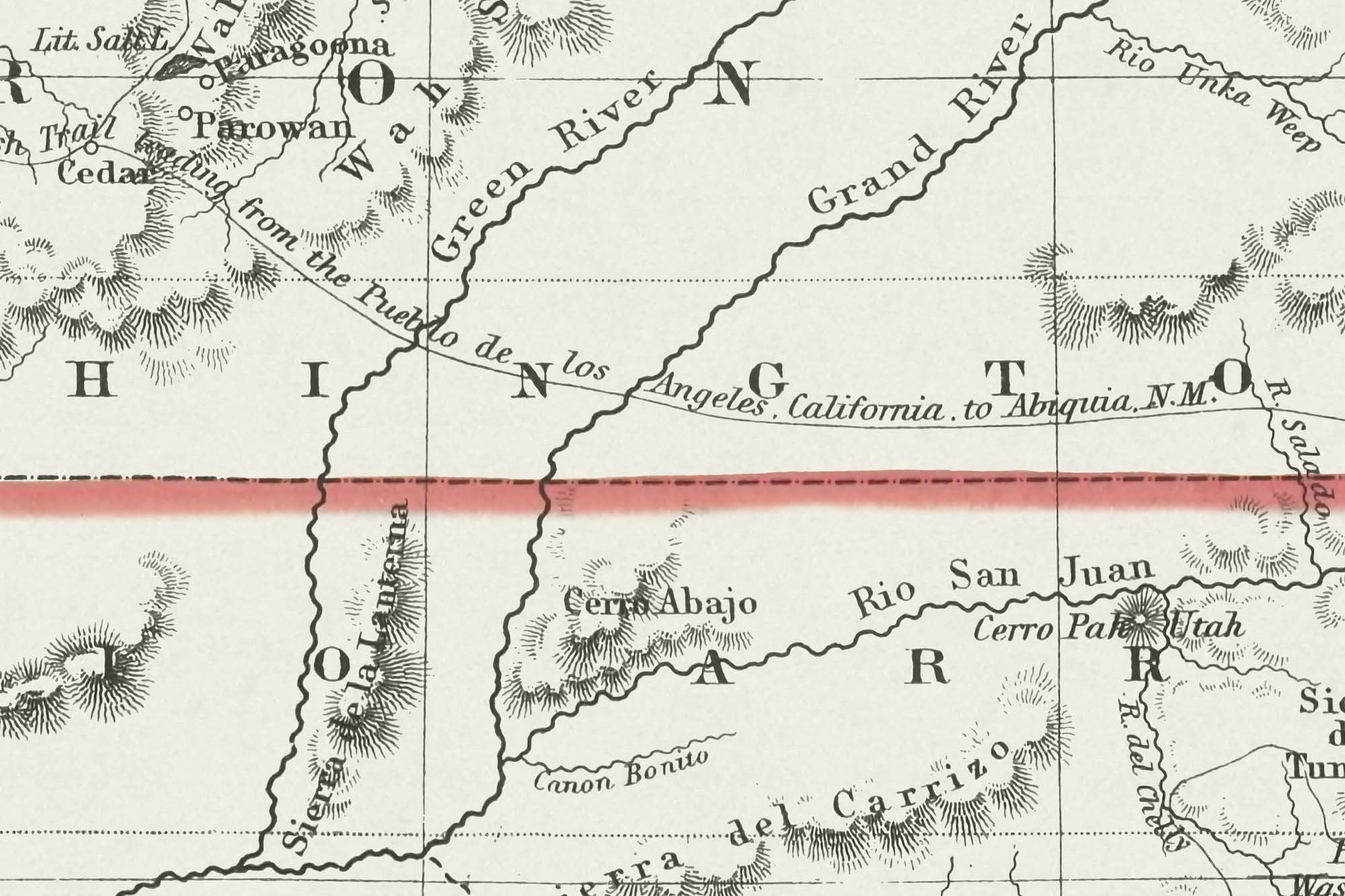
Explore our antique state maps of the USA. Our Historic State Map collection has been meticulously restored to show the original design of the cartography and printed as a beautiful reproduction. Our team of Graphic Designers dedicated months of work to each map to restore the visibility of the details in each map. This includes eliminating smudges and dark areas that obscure the view of features and labels in the maps. You won't find a better source than our maps!
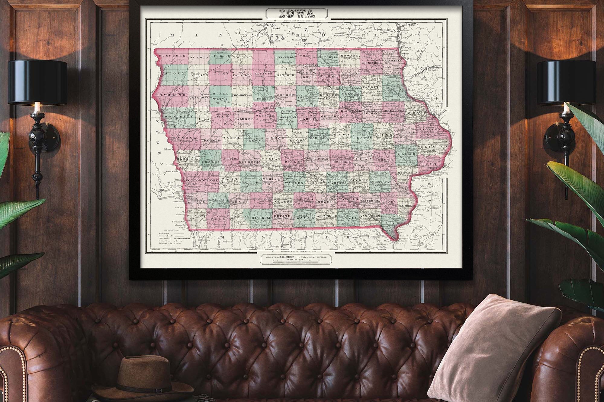
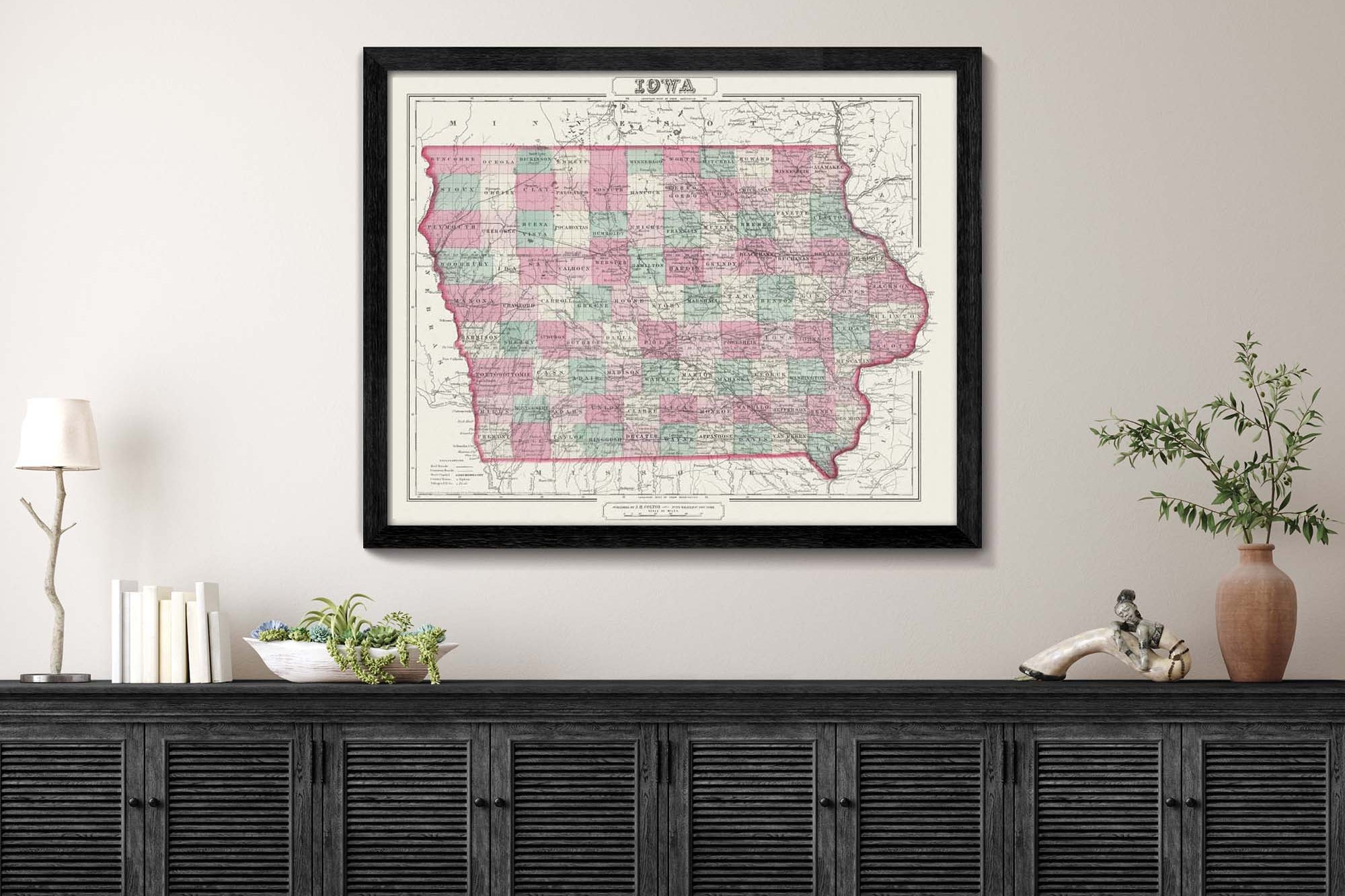
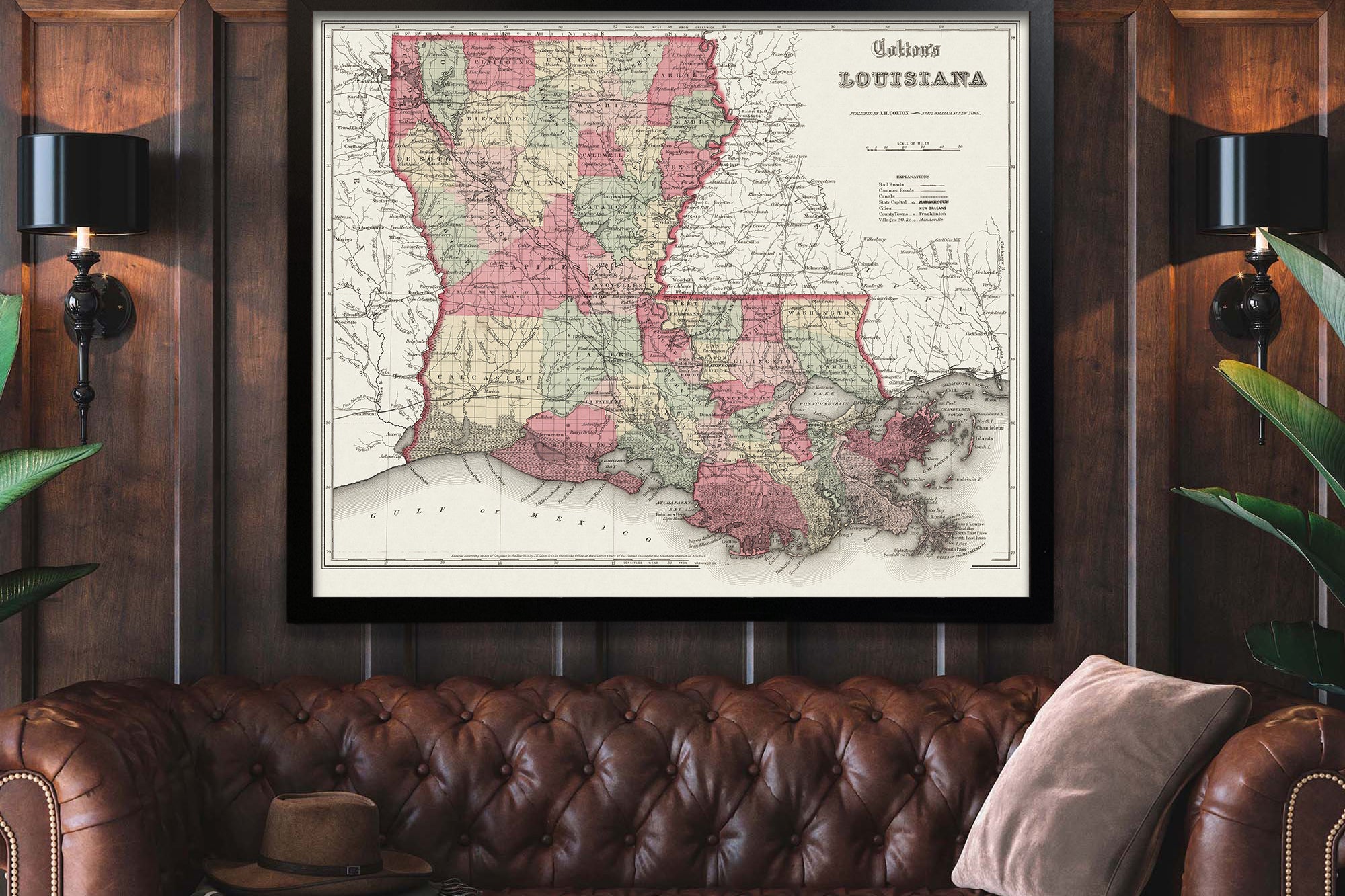
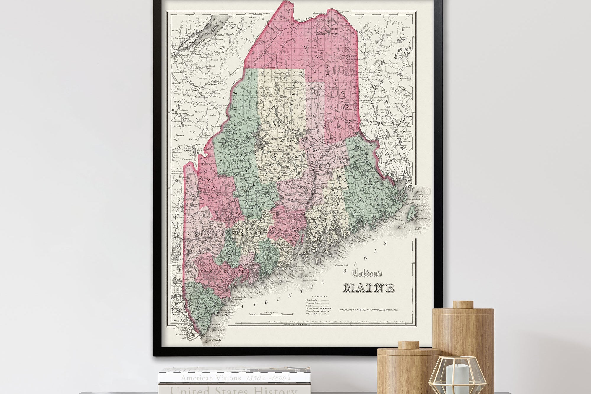
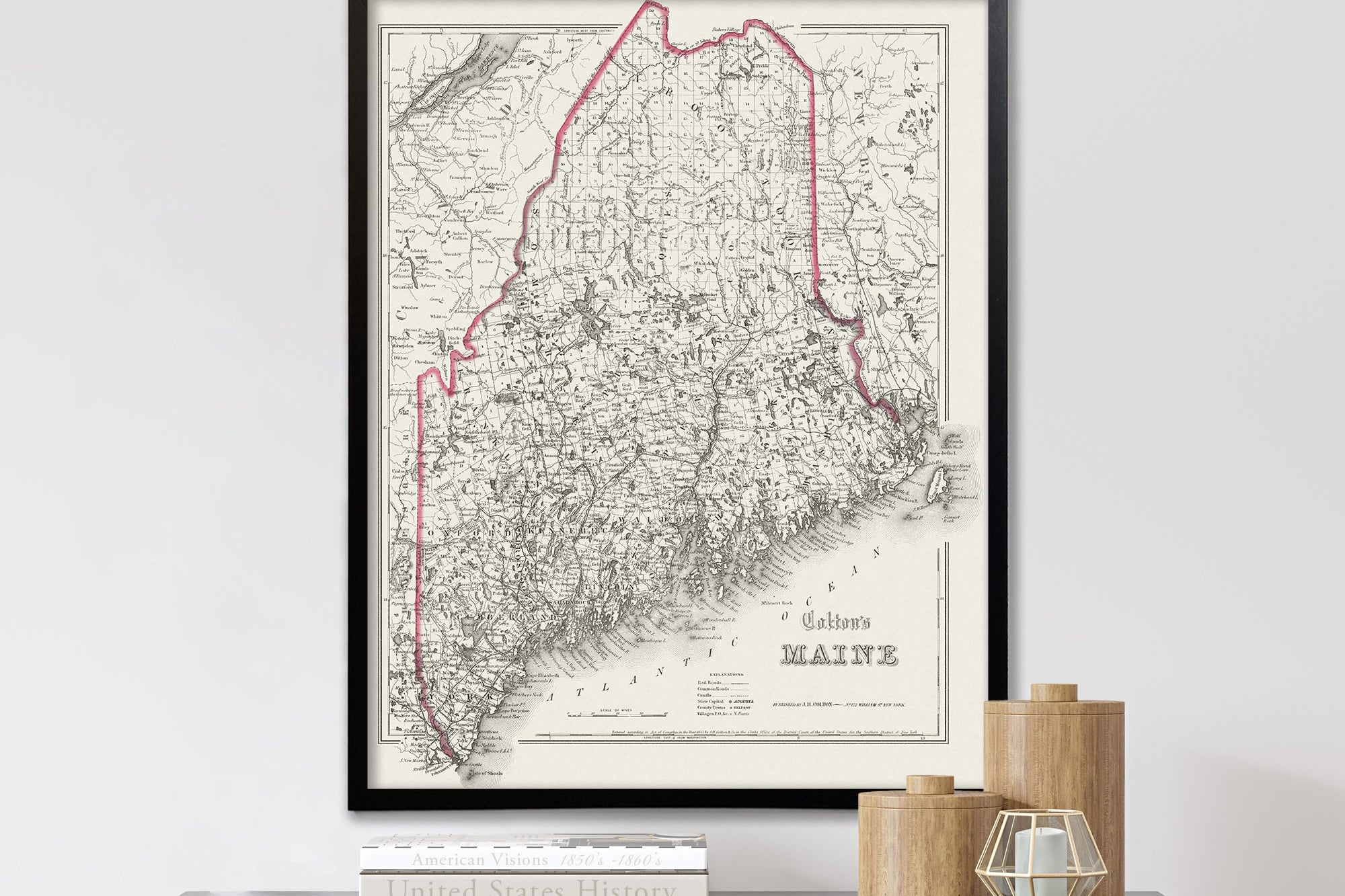
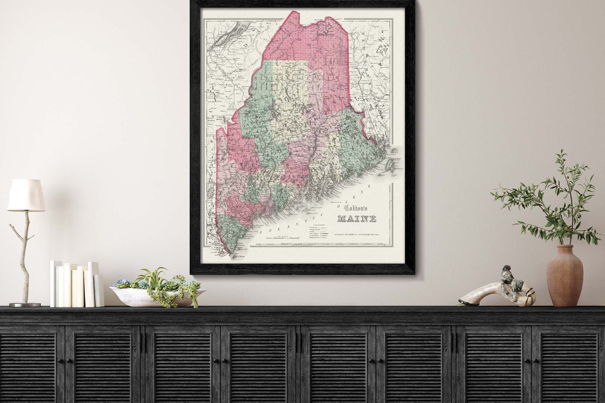
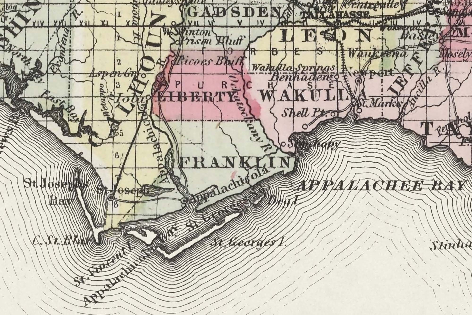
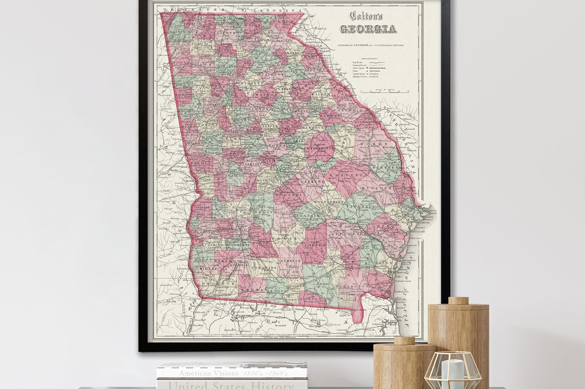
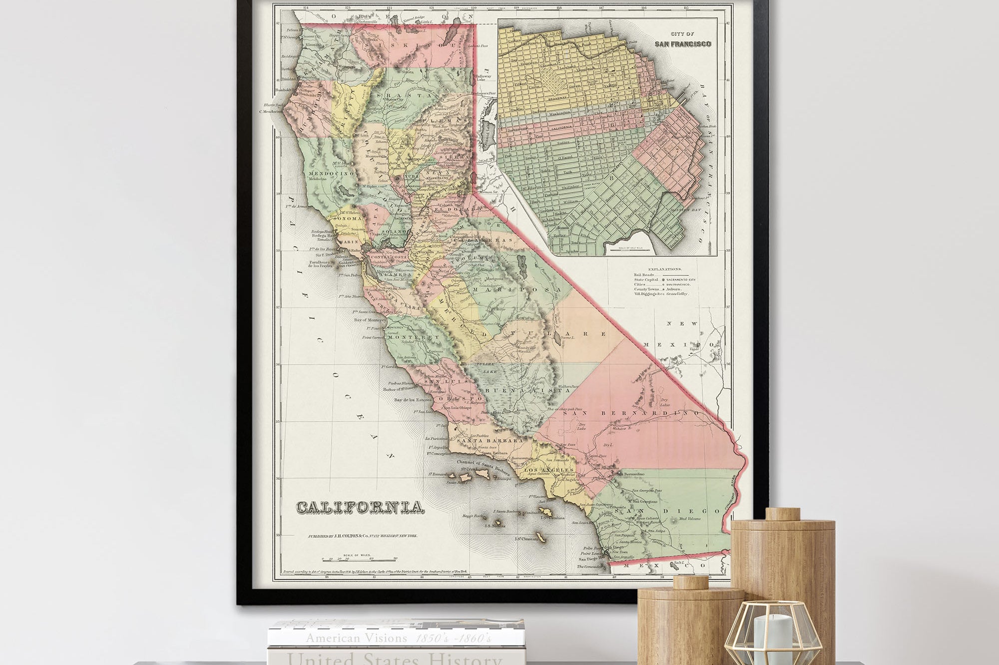
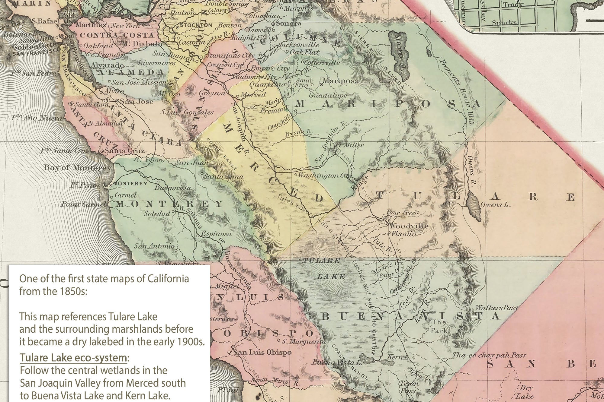
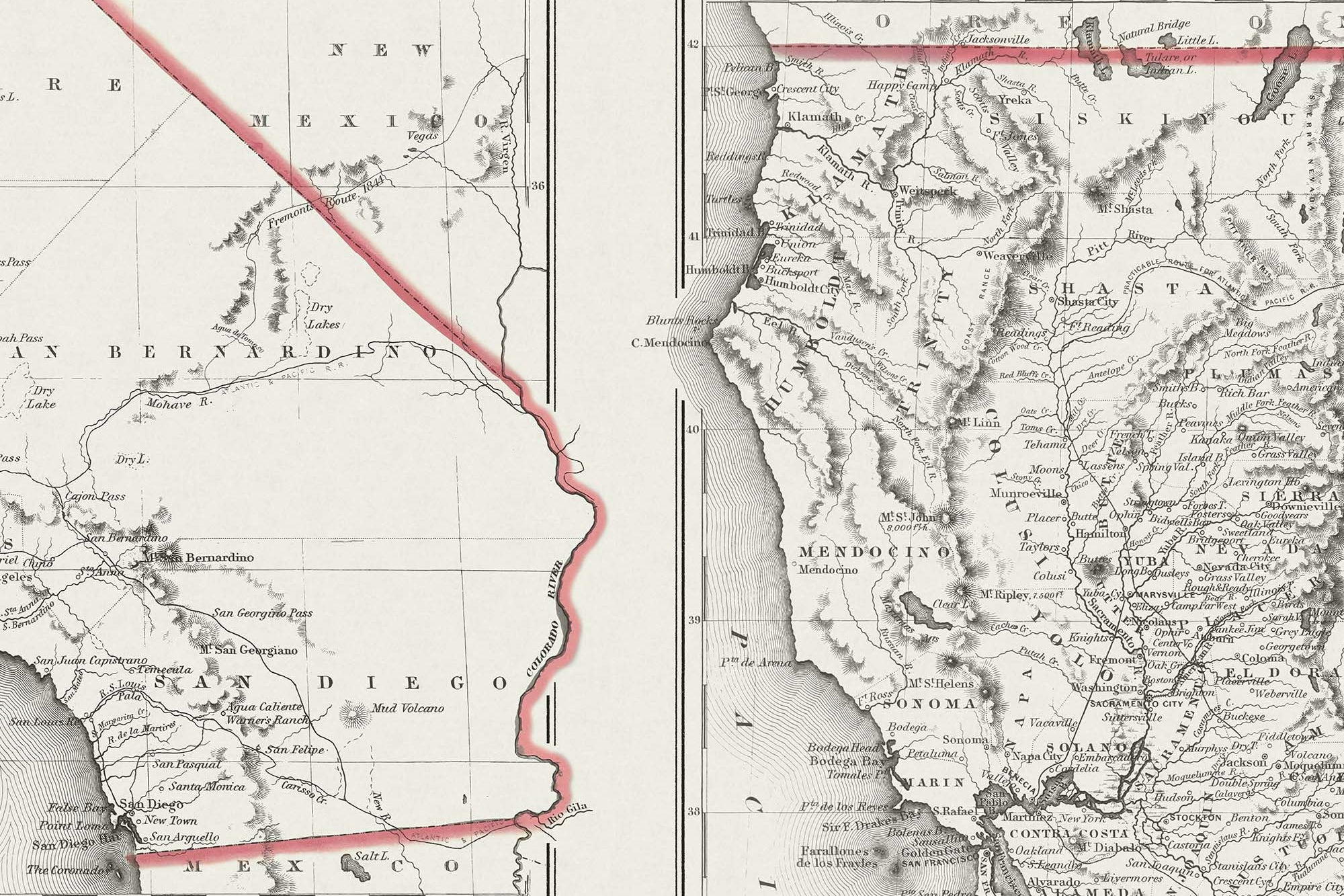
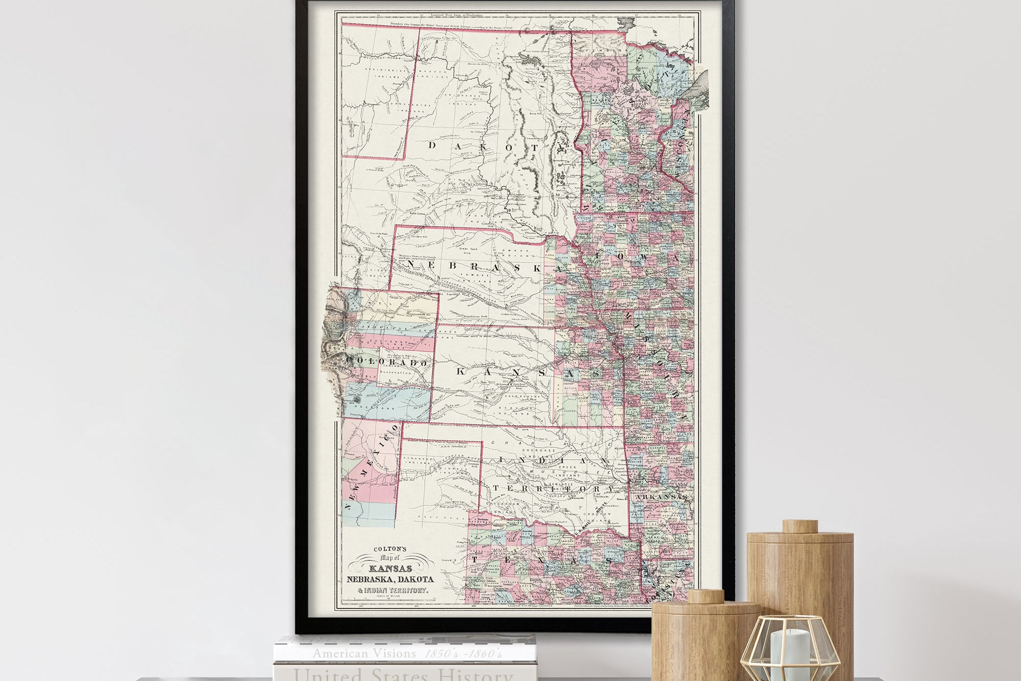
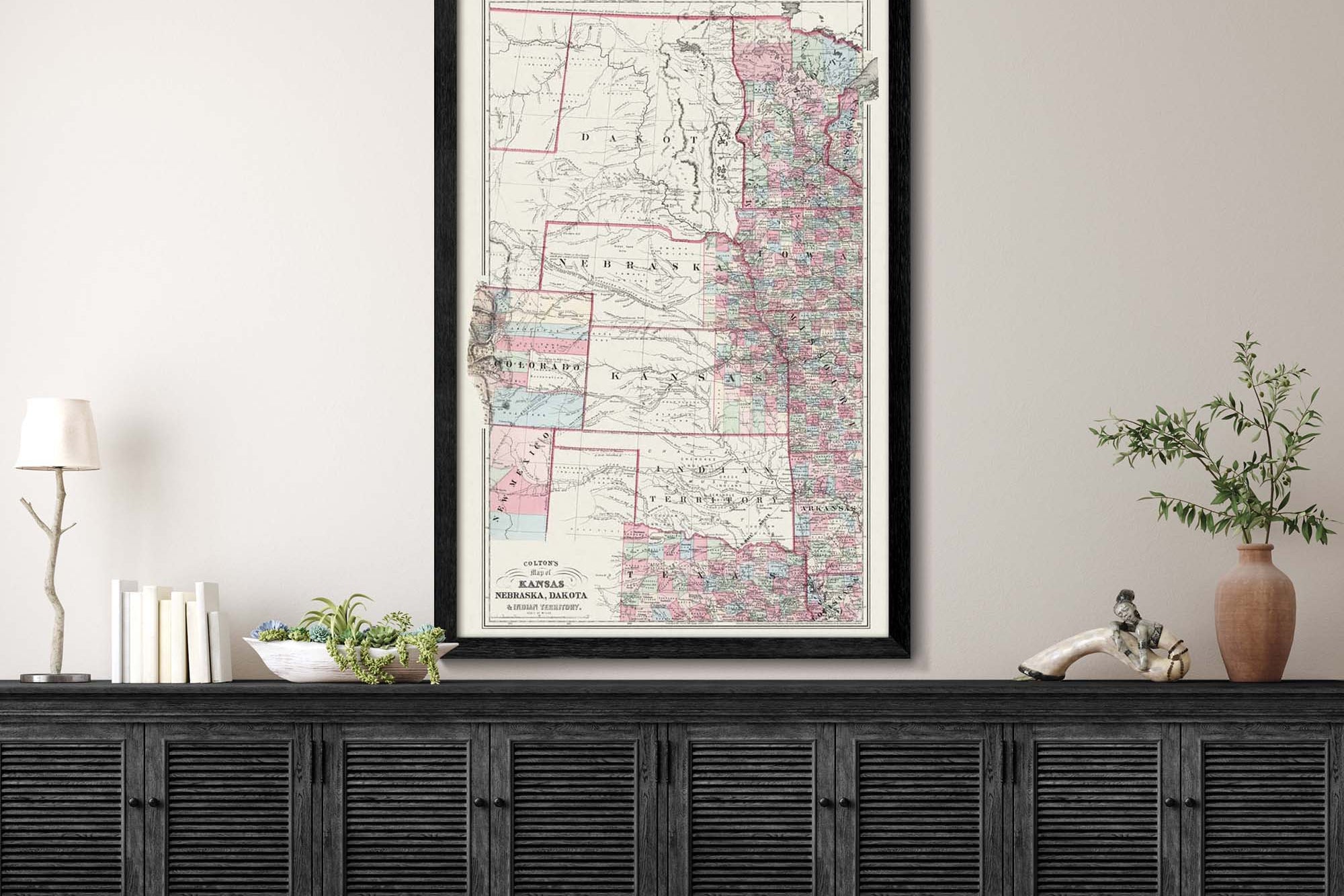
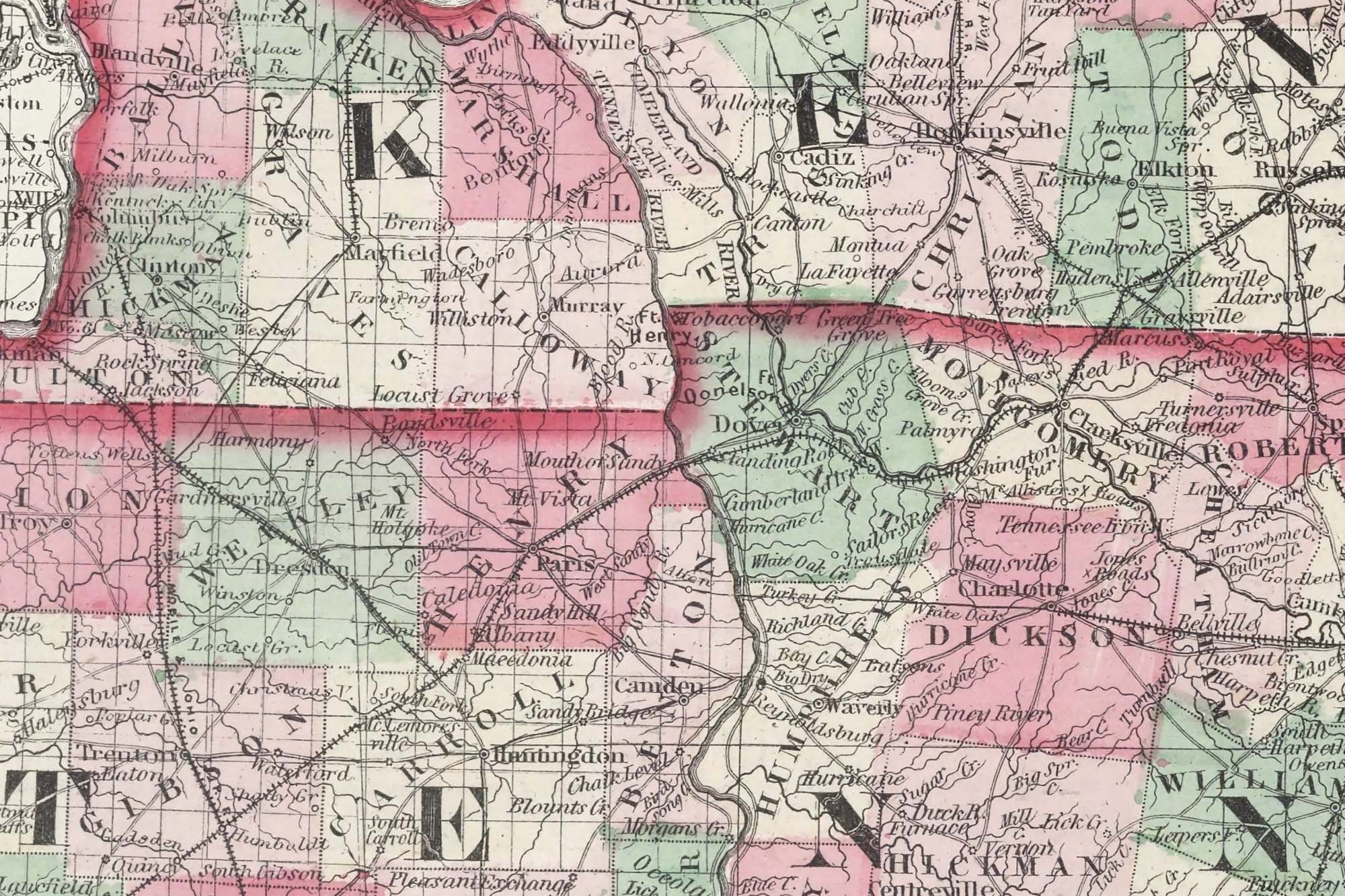
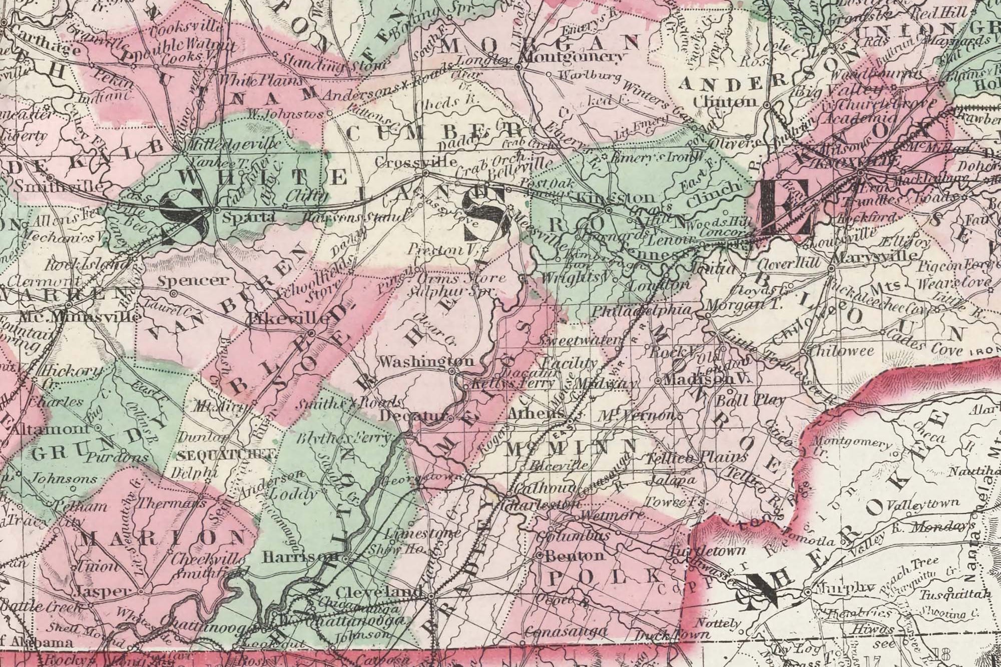
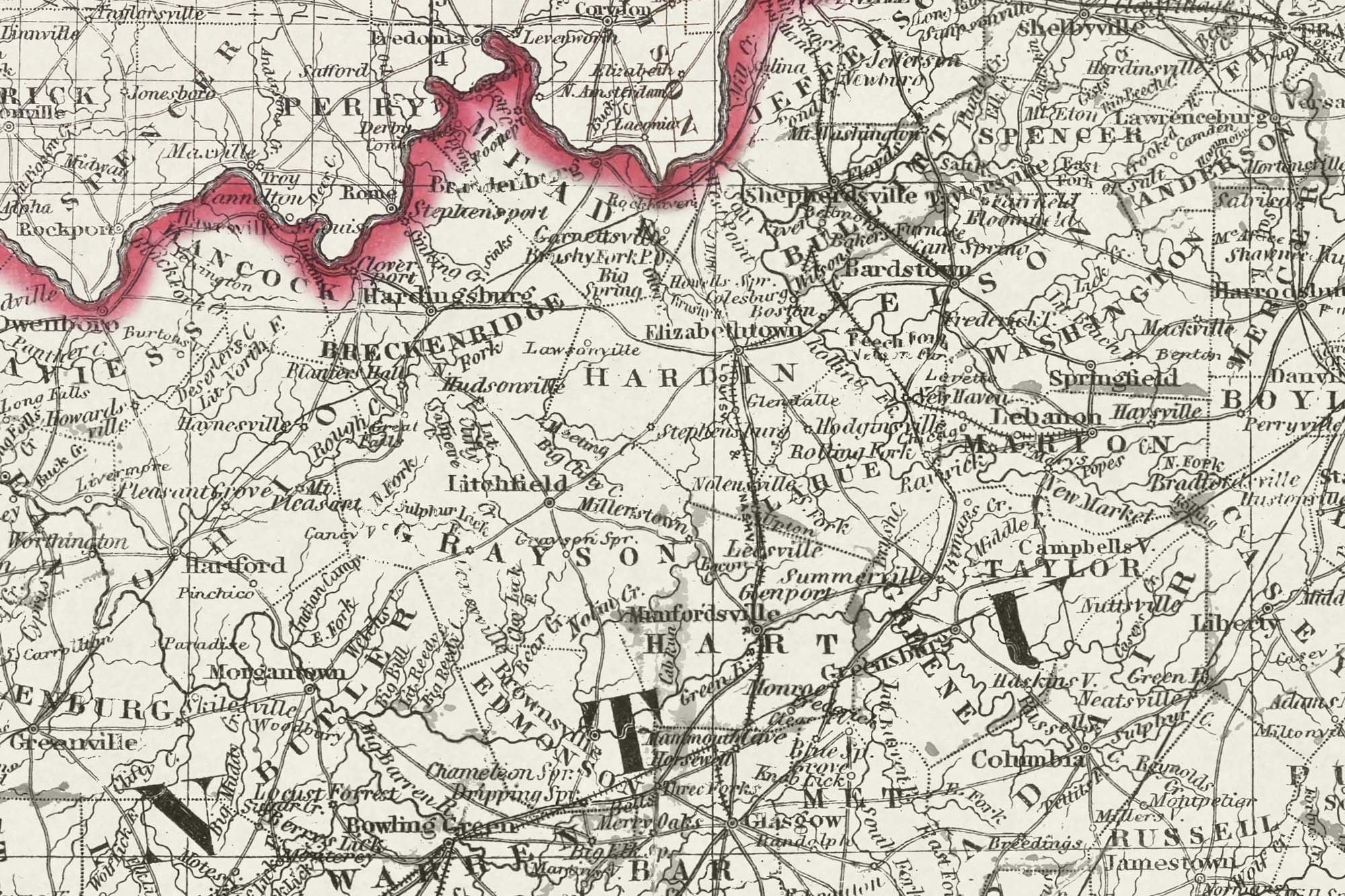
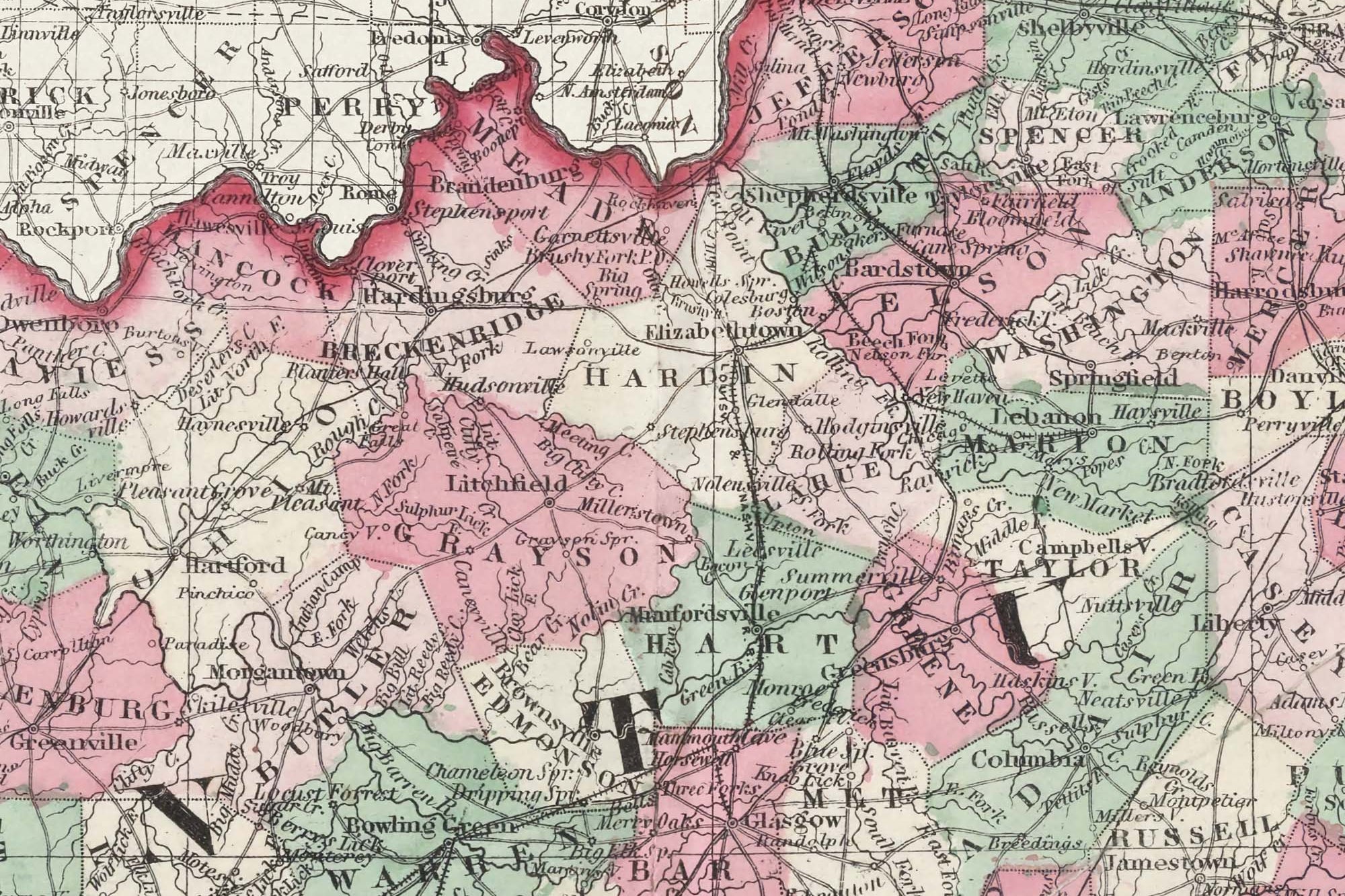
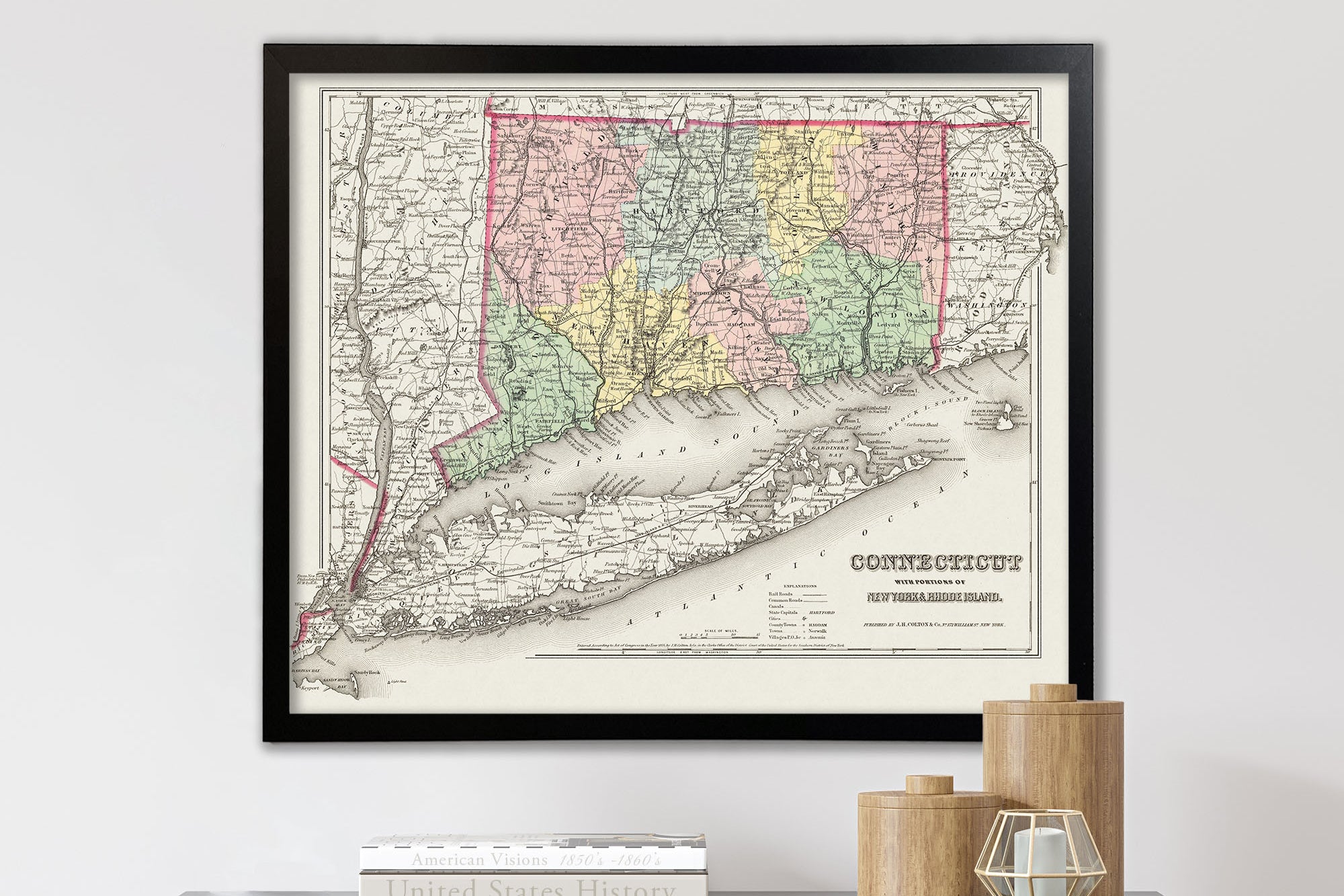
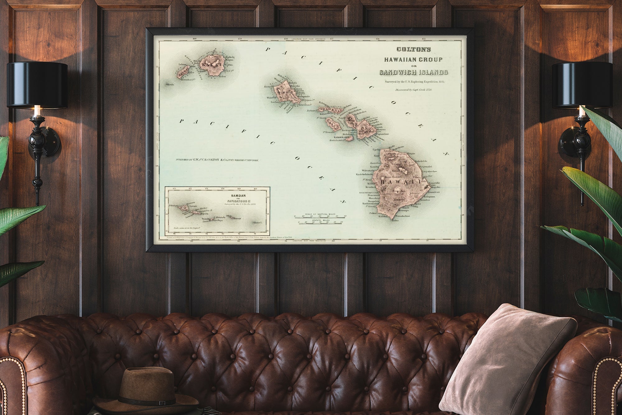
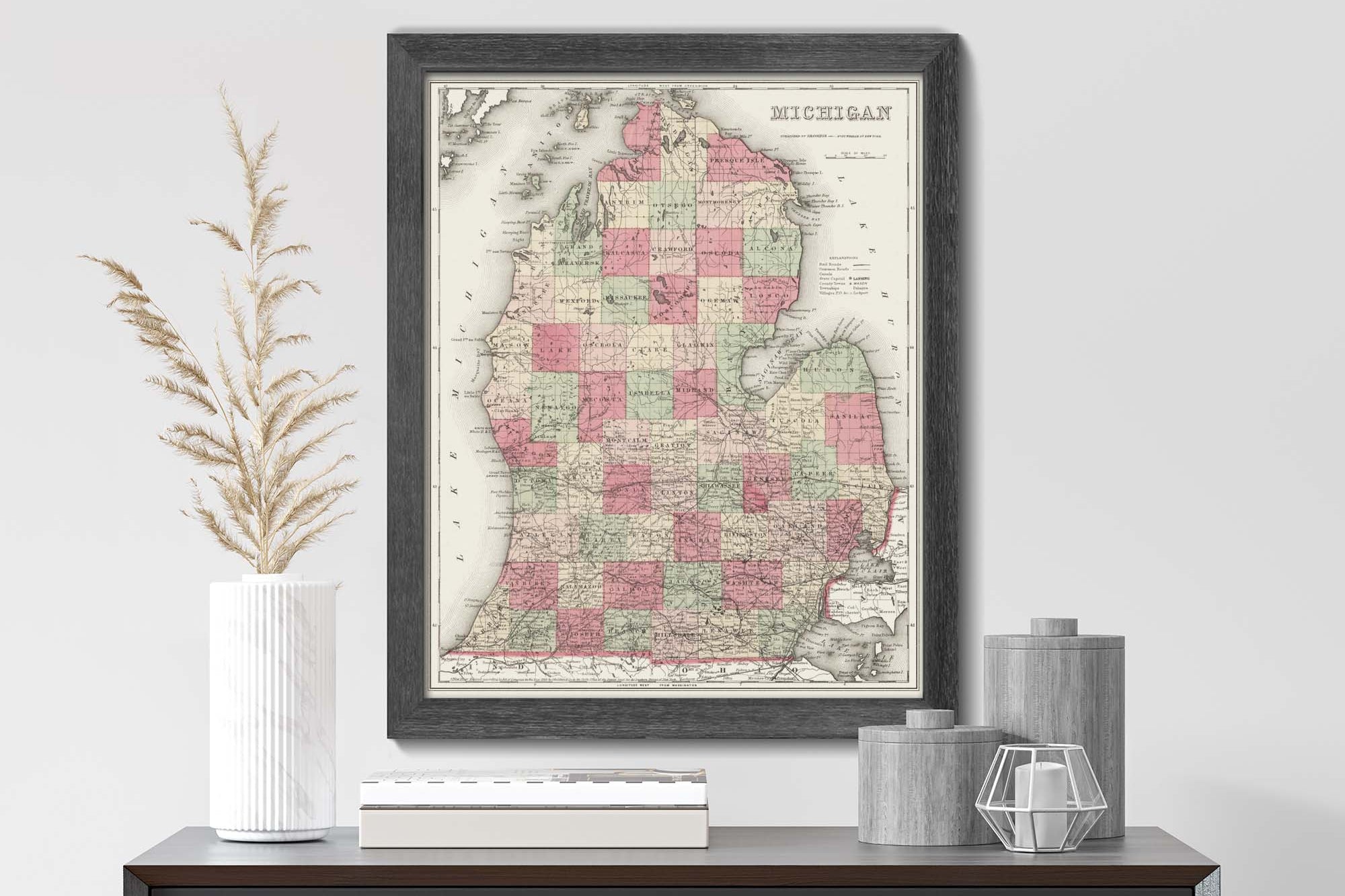
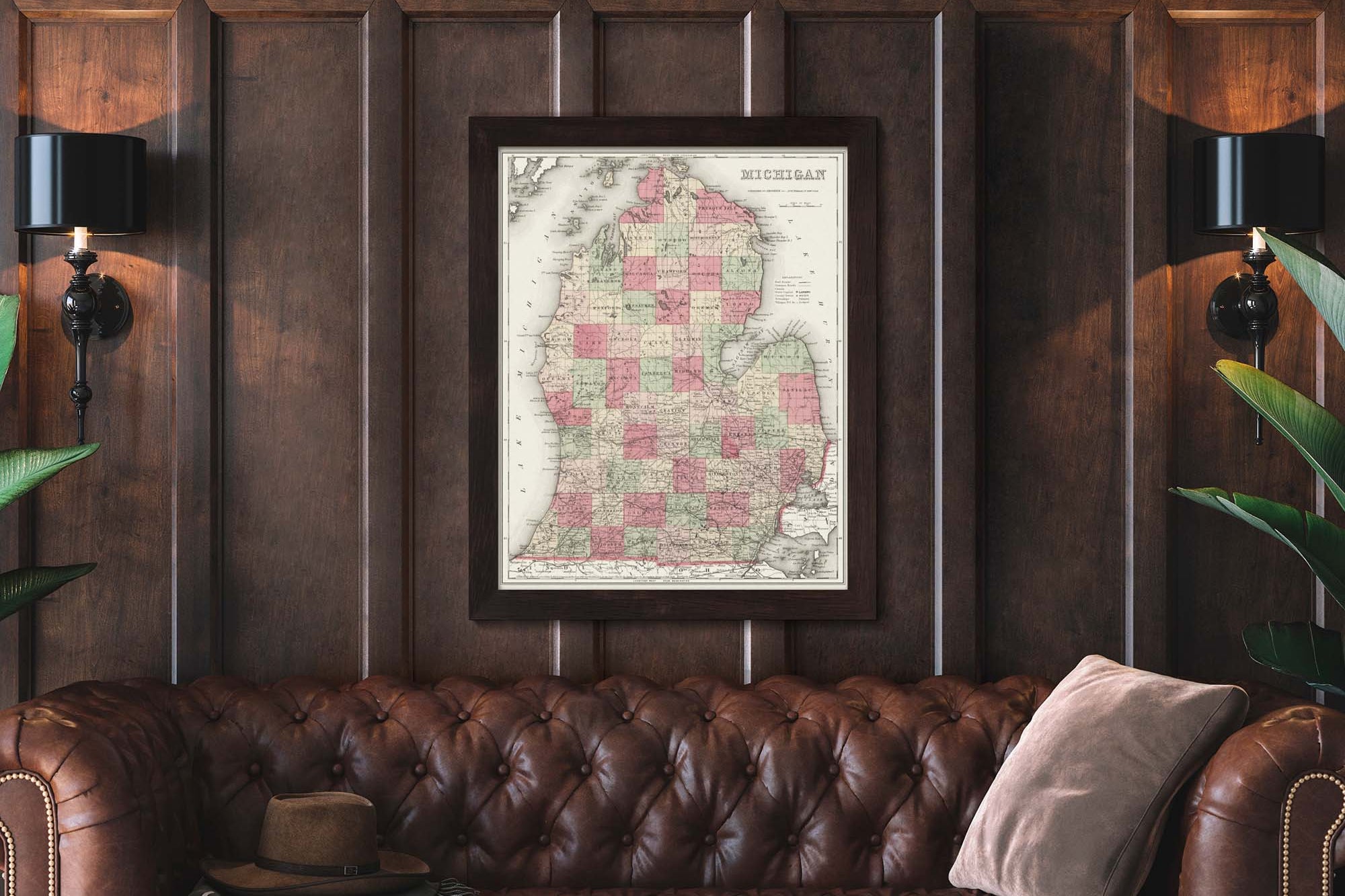
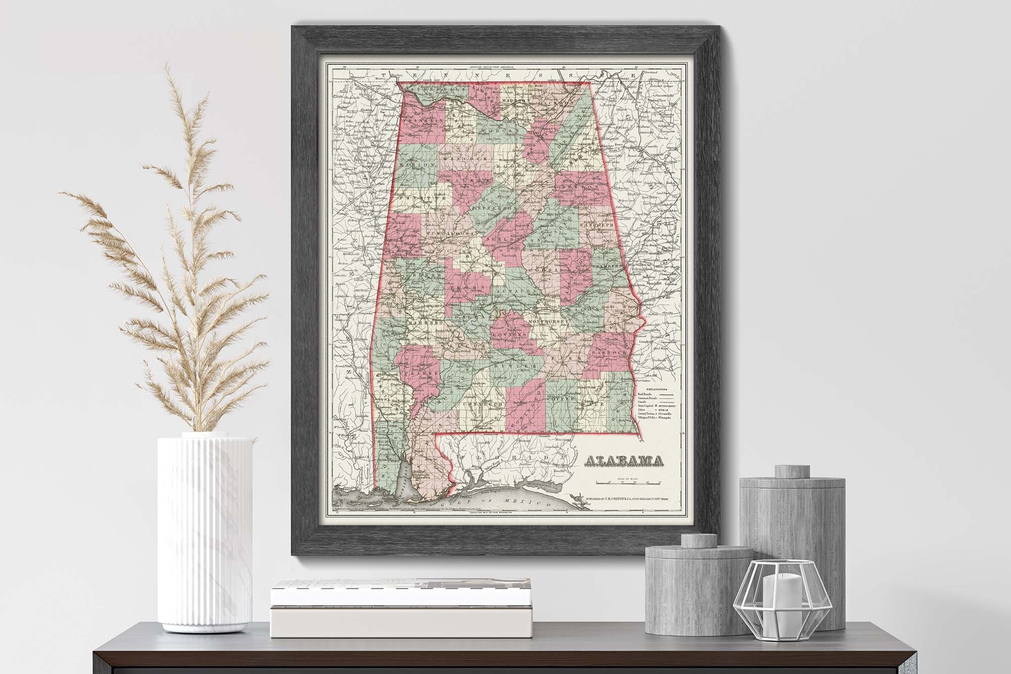
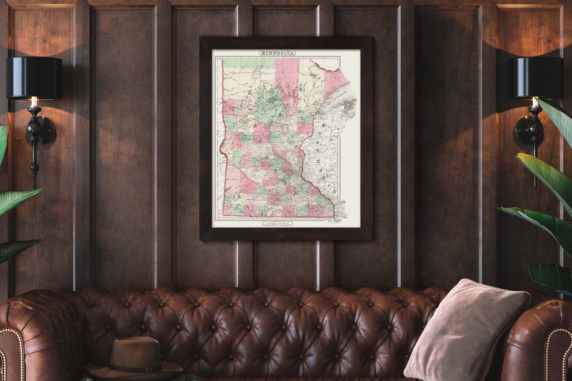
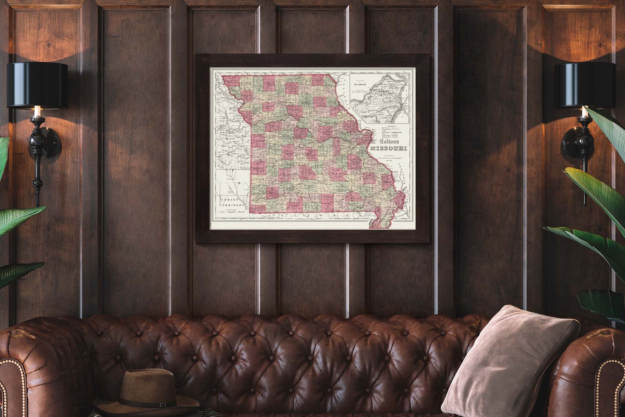
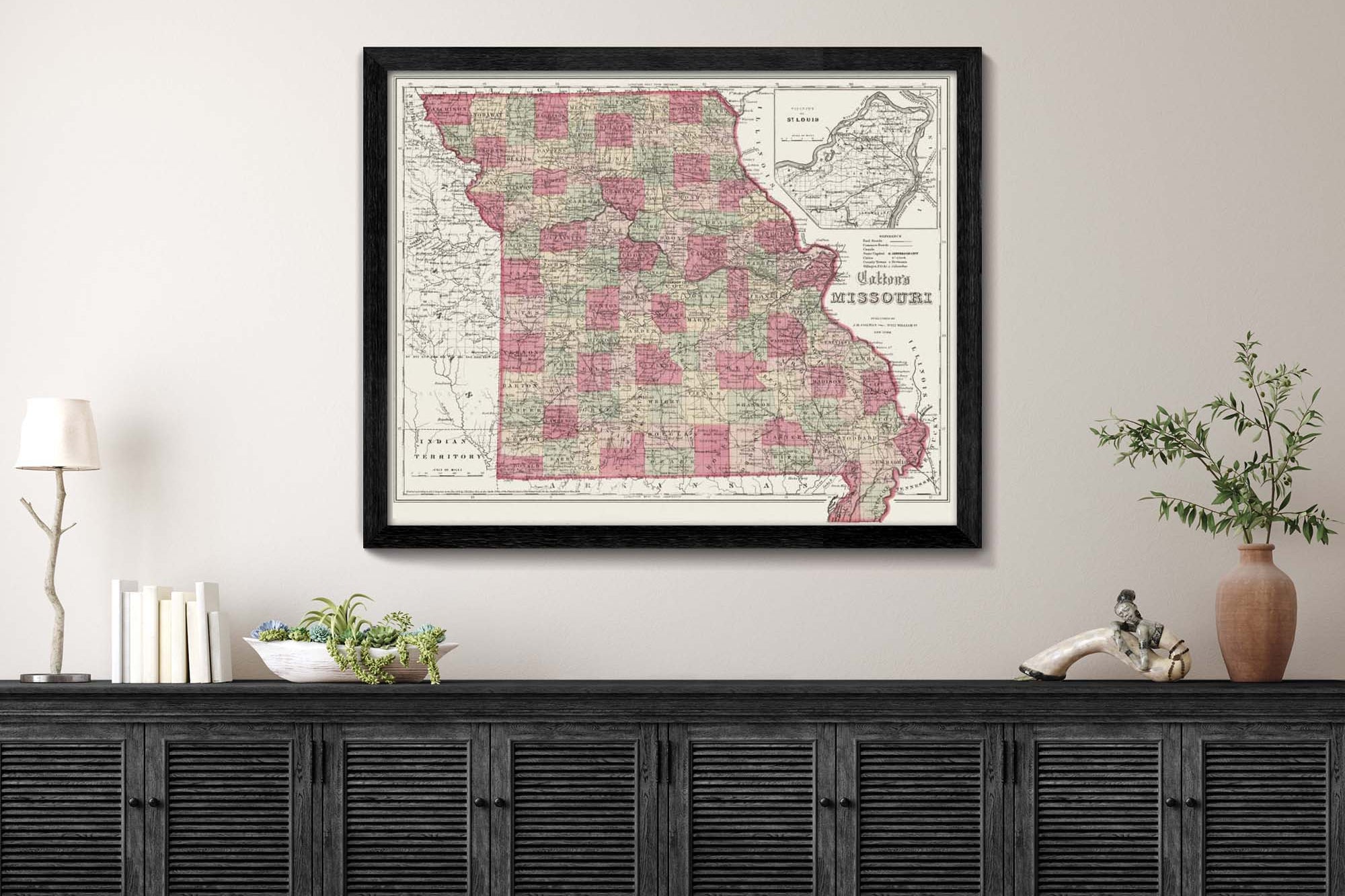
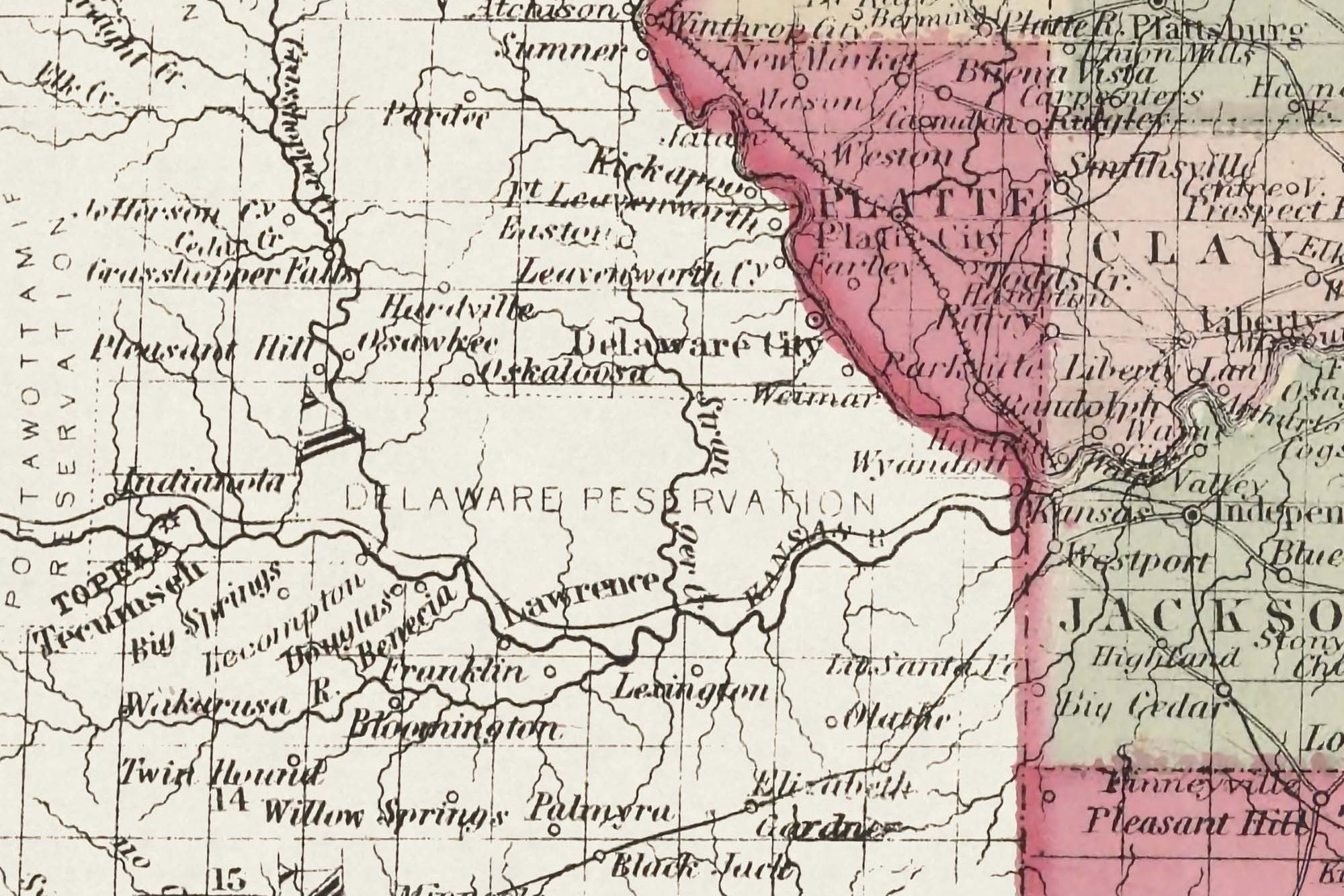
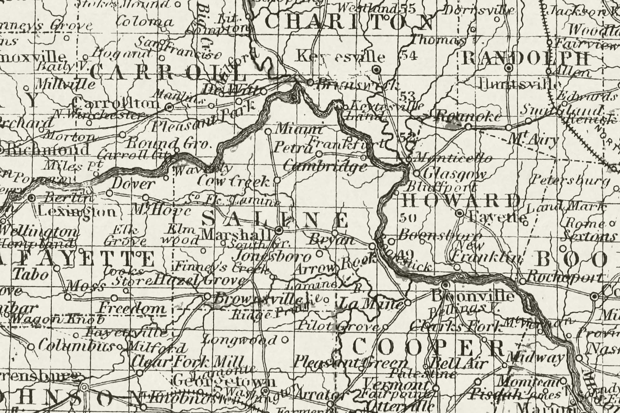
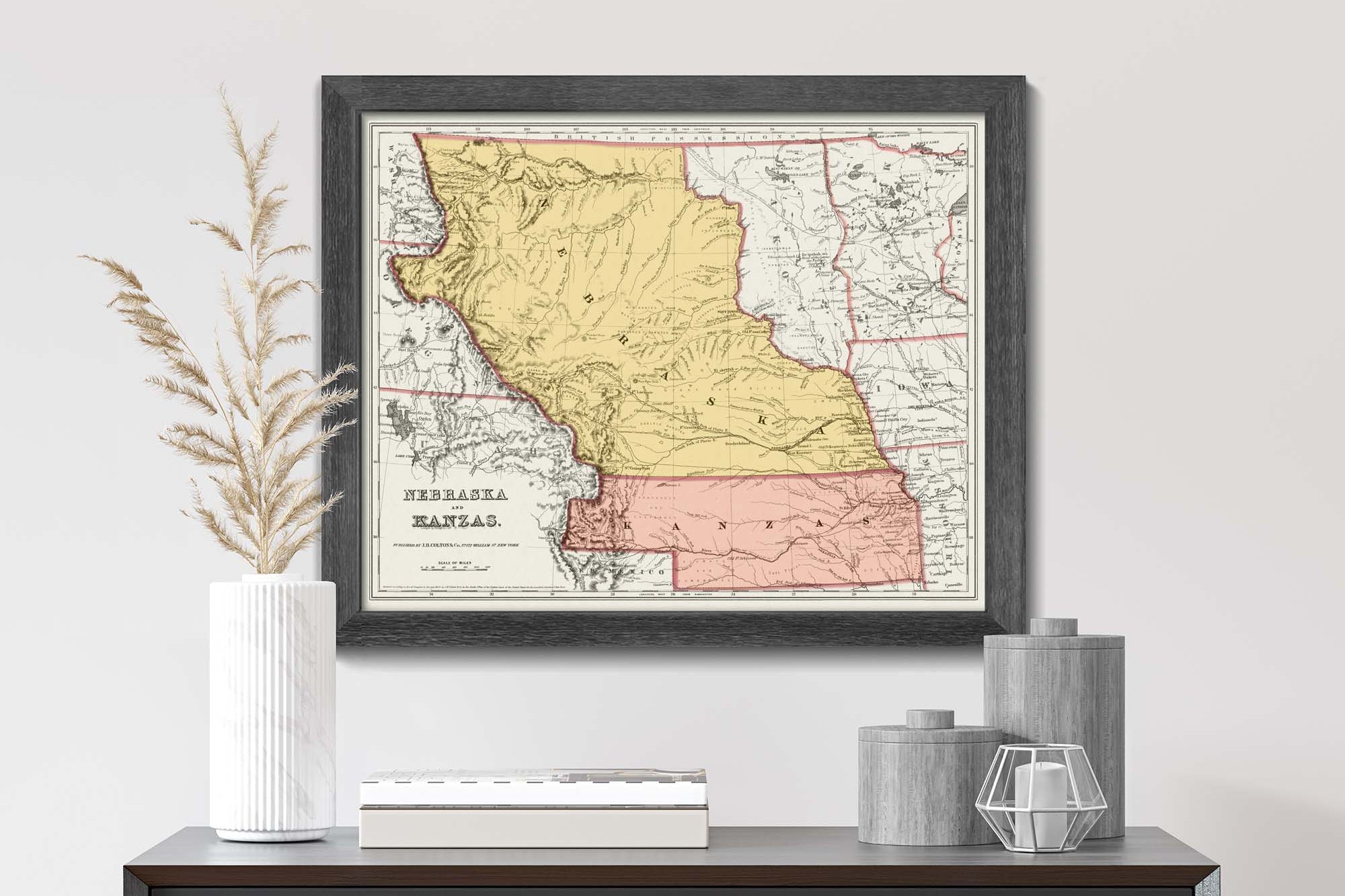
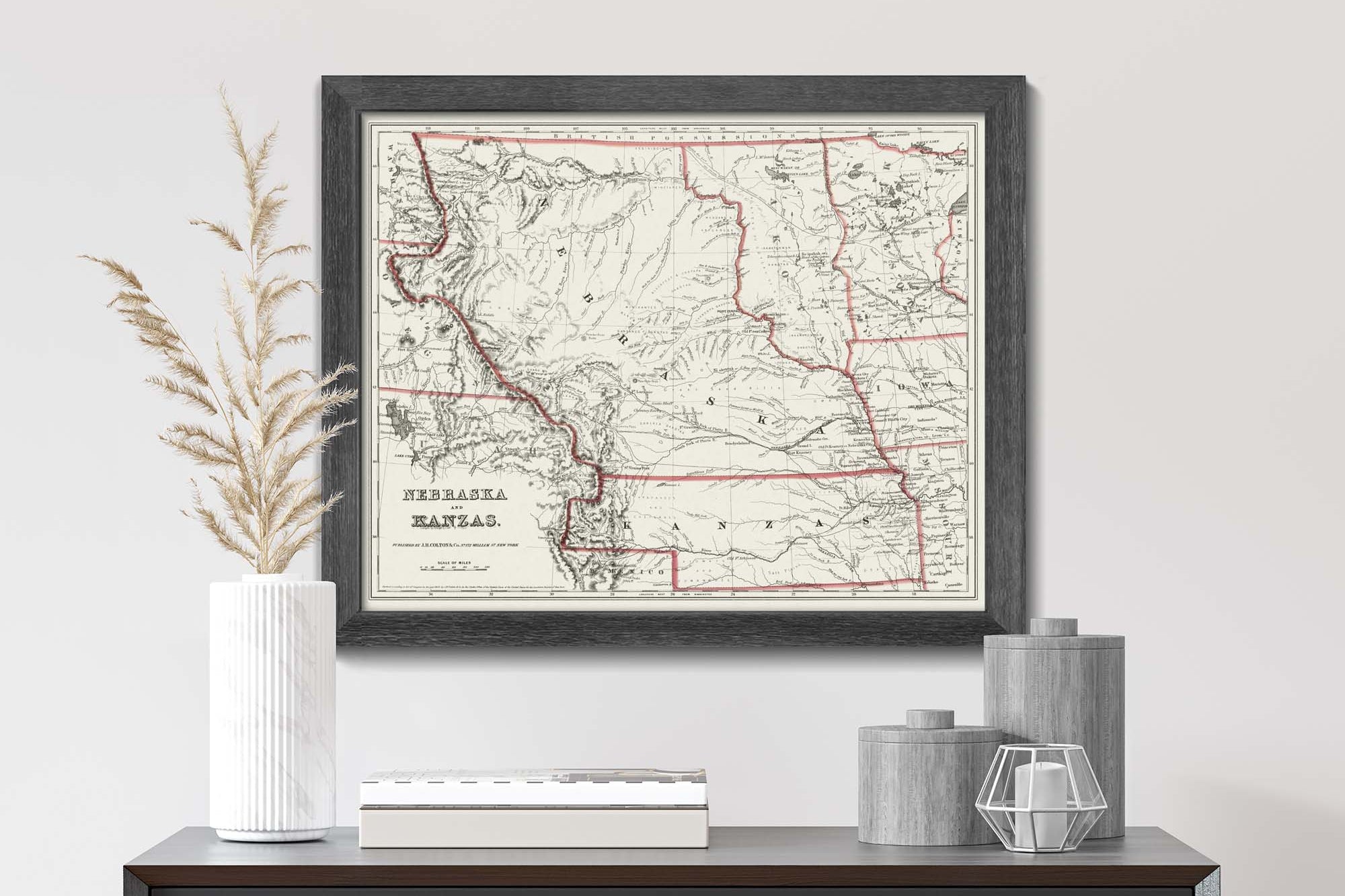
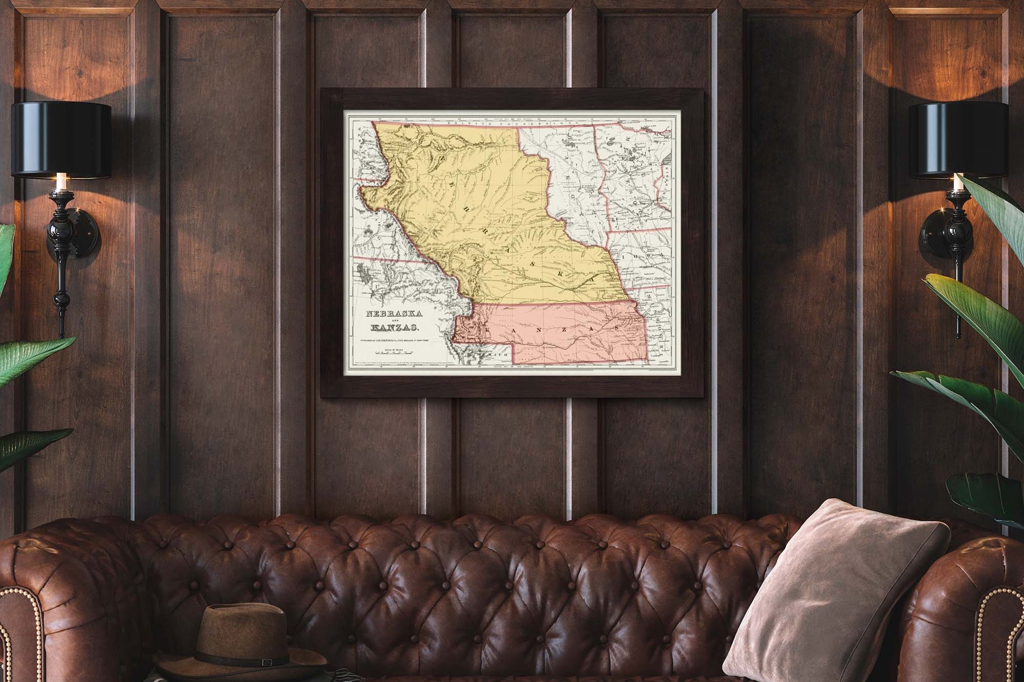
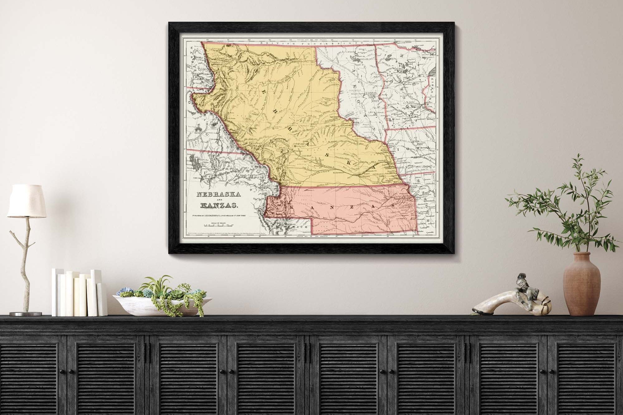
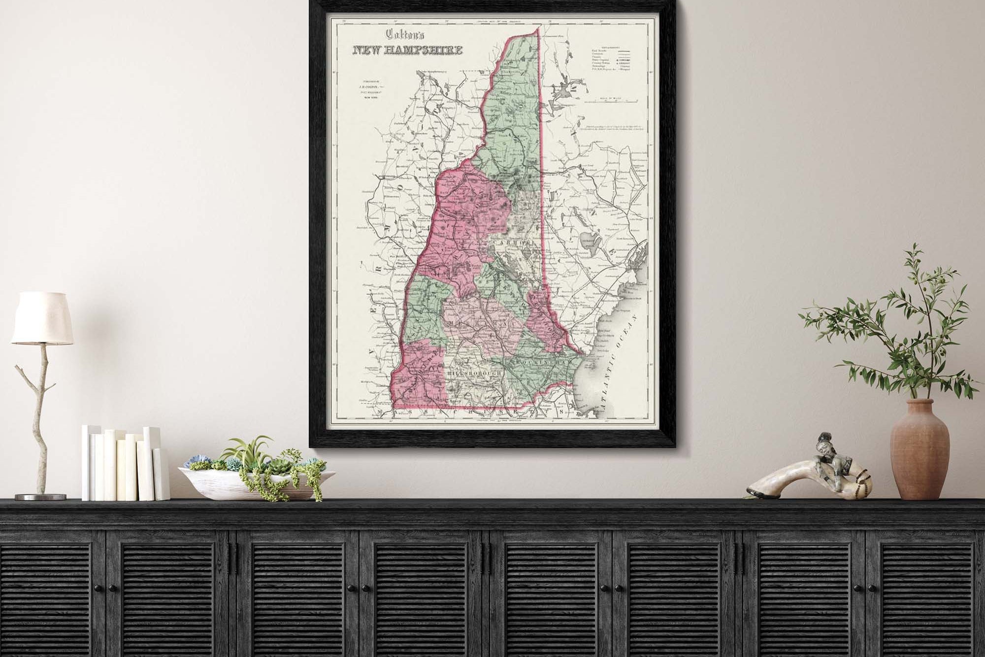
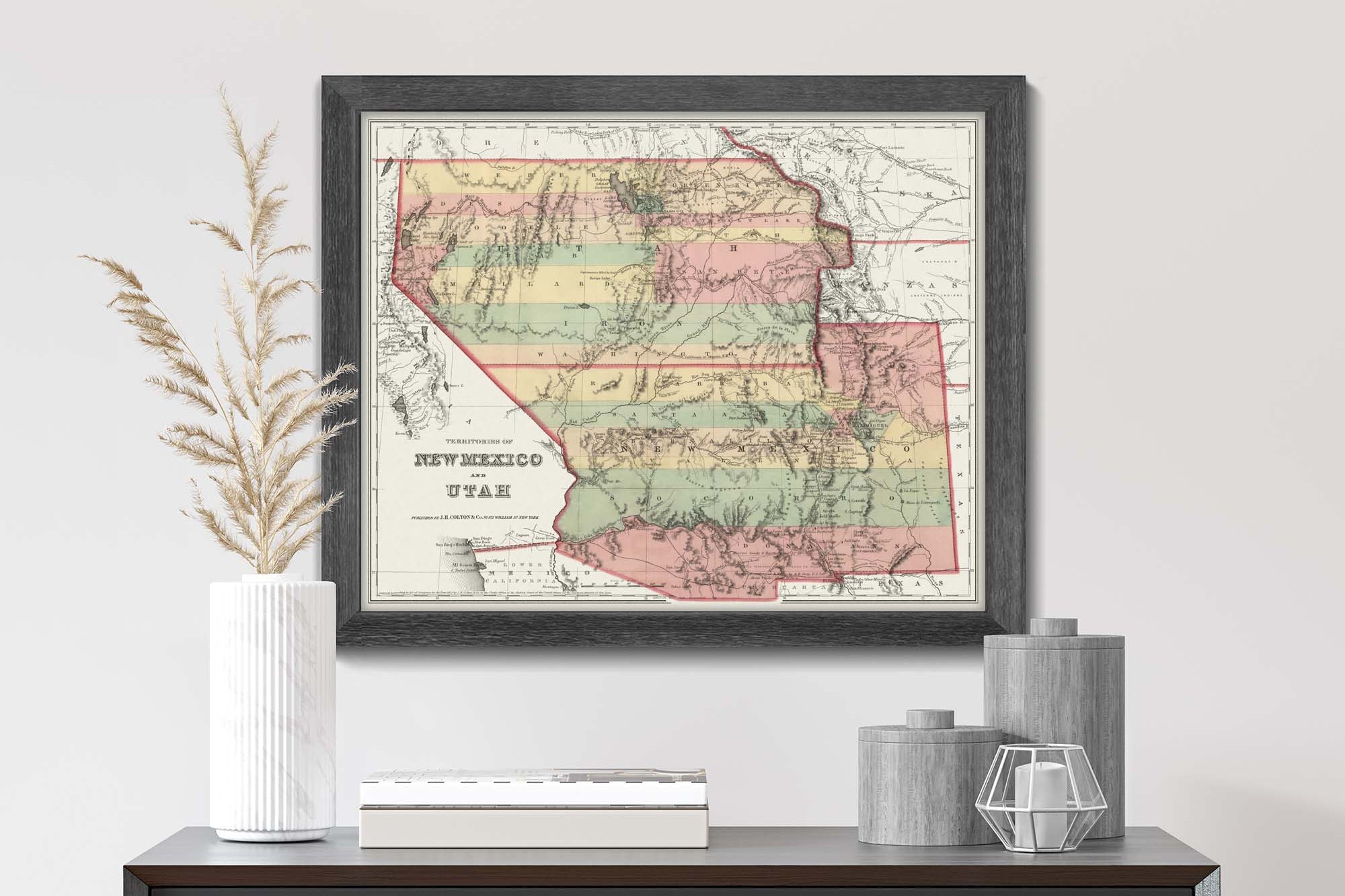
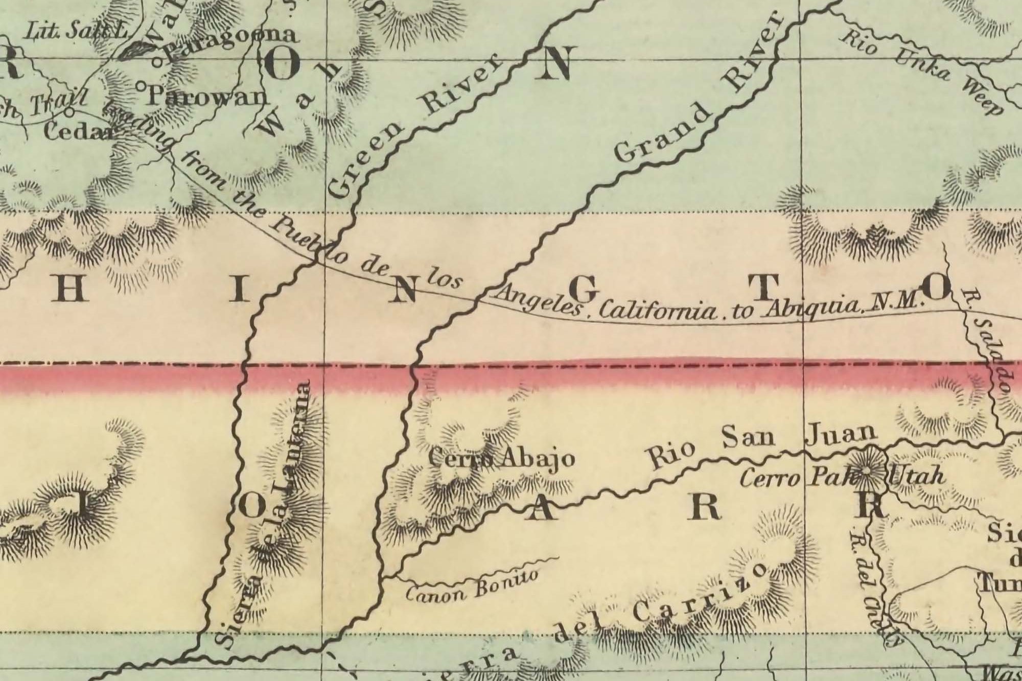
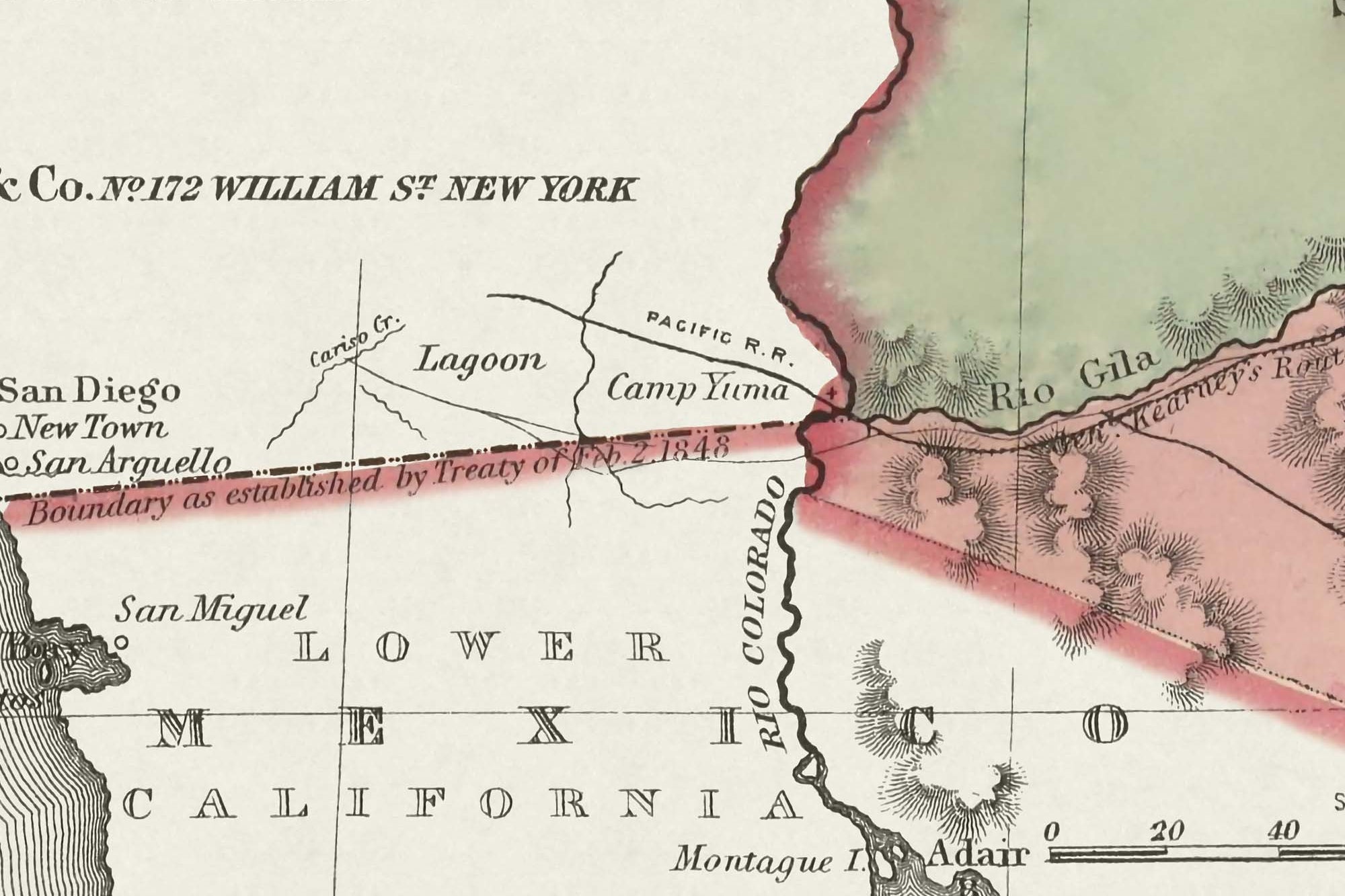
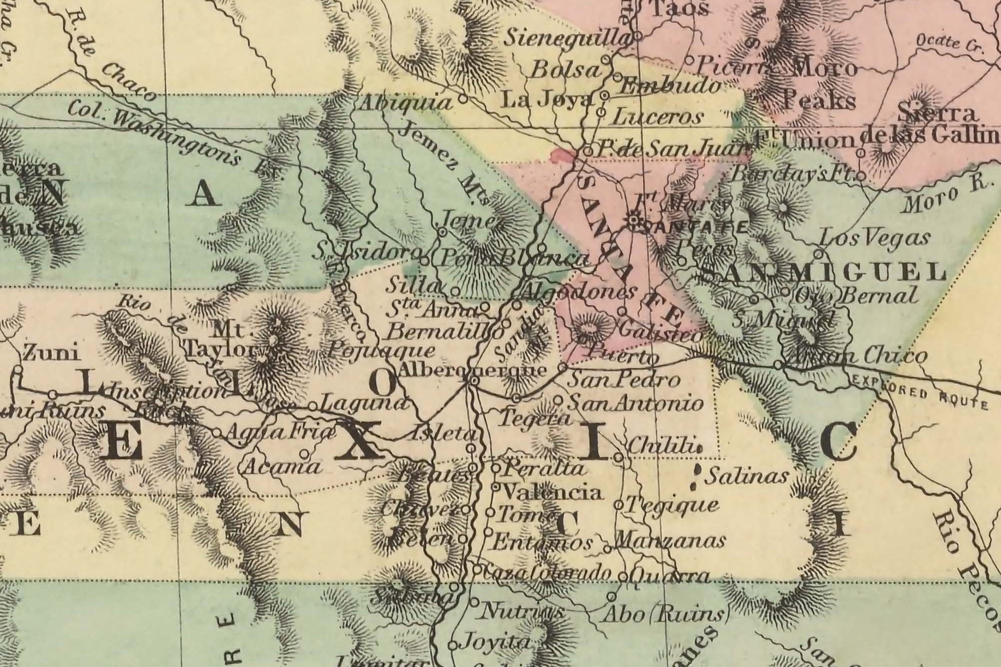
Explore the History of the USA: Dive into the past with our exquisite collection of History USA State Wall Maps from the captivating 1850s era. These maps serve as a window into a pivotal time in American history, capturing the geographical shifts and significant historical events of the period. Witness the landscape before the Civil War, the Gold Rush's impact on migration and settlement patterns, and the evolving state boundaries prior to the significant changes brought about by the westward expansion. Our maps offer a unique historical view, illustrating how the geography of the United States has transformed over the years. They are an invaluable resource for educators, historians, and anyone fascinated by America's past. Available as high-quality prints and framed artwork, these maps are meticulously crafted to preserve the intricate details and authenticity of the original 1850s designs. Made in the USA, they provide a distinctive blend of educational content and aesthetic appeal, perfect for any setting looking to showcase a piece of American heritage.
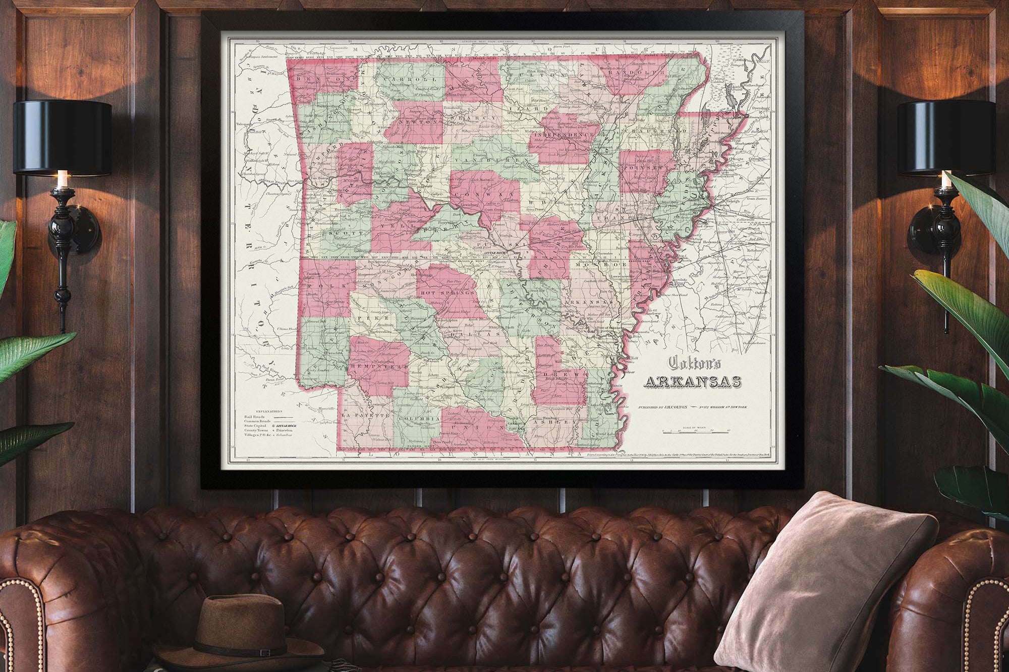
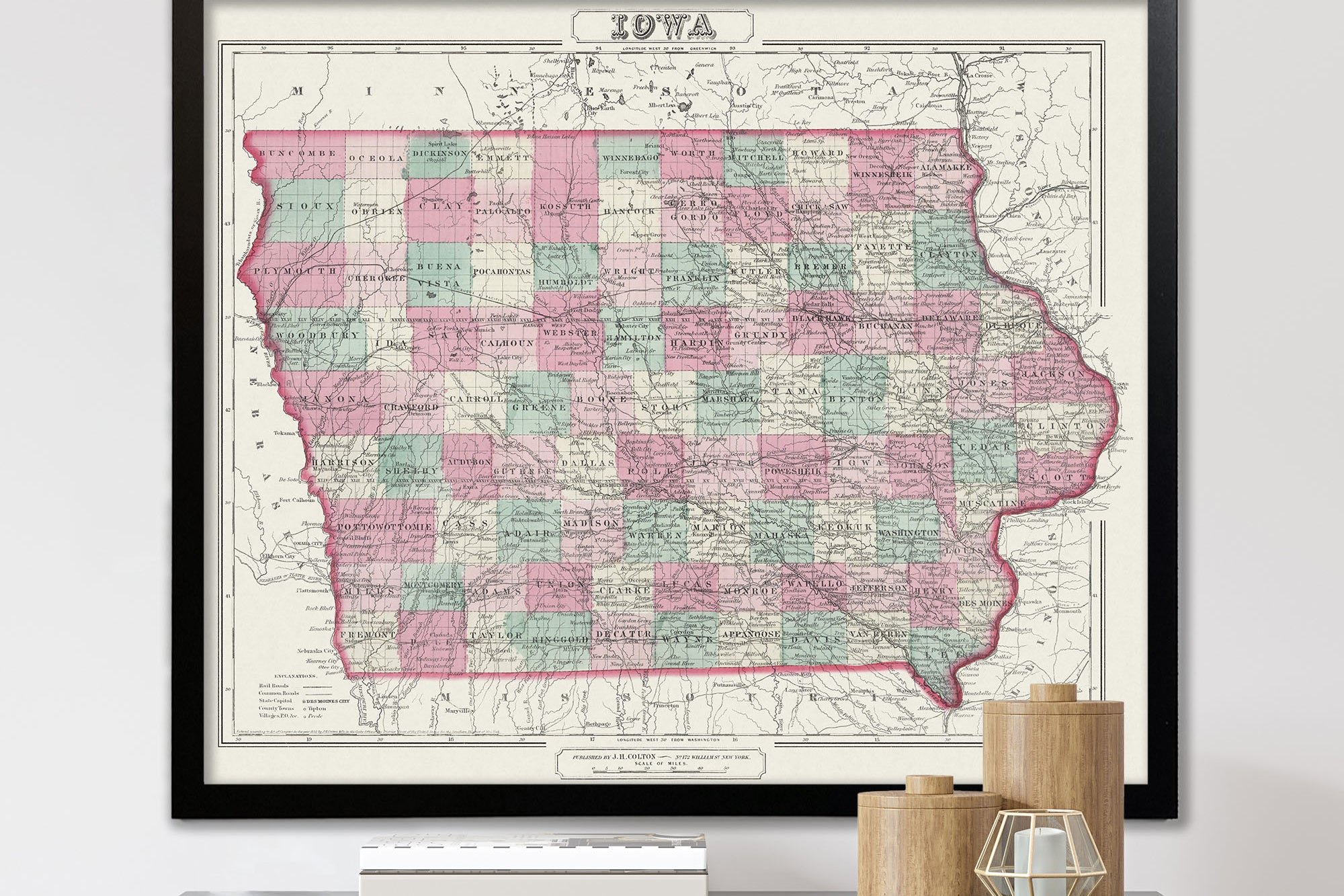
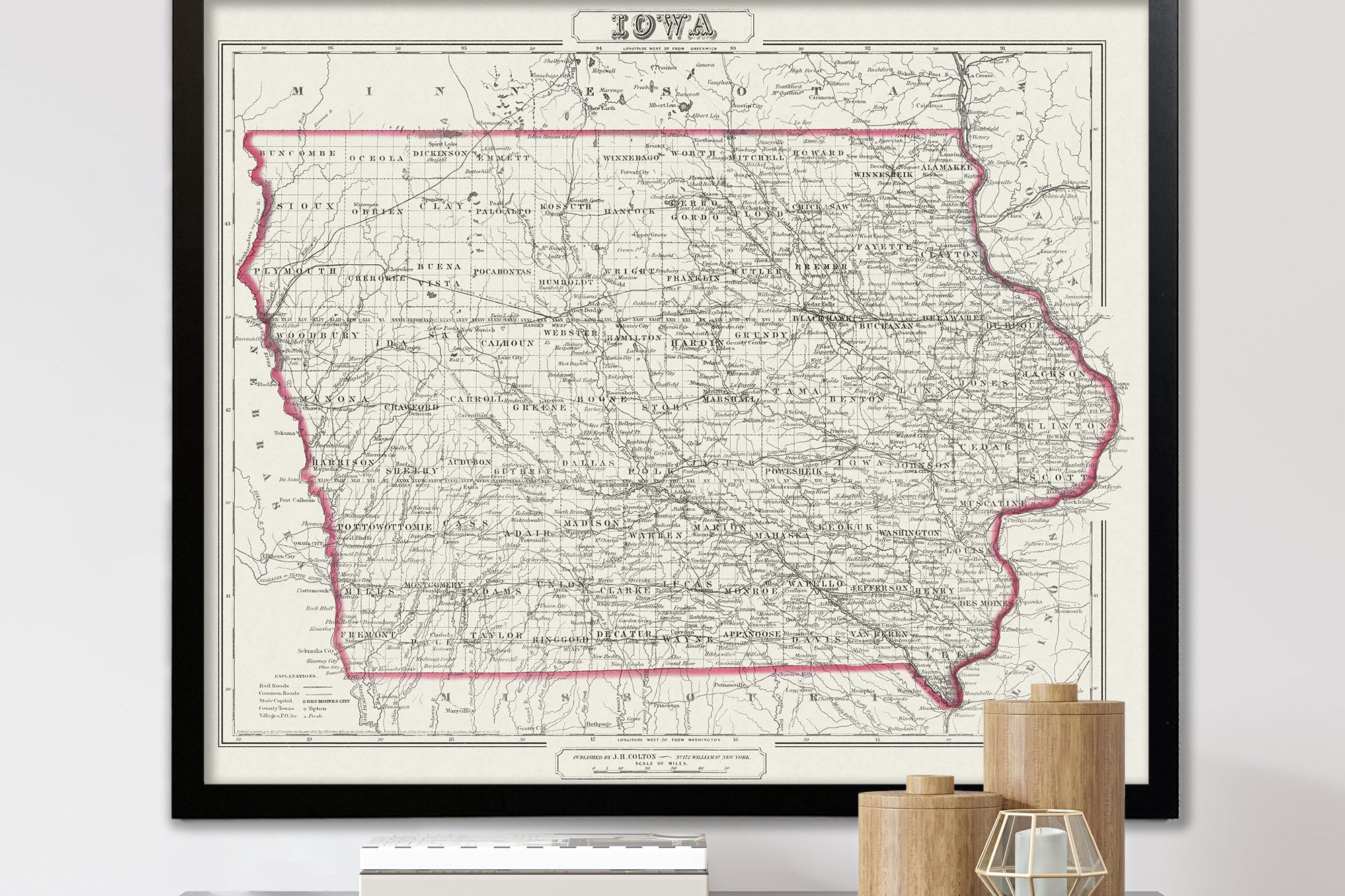
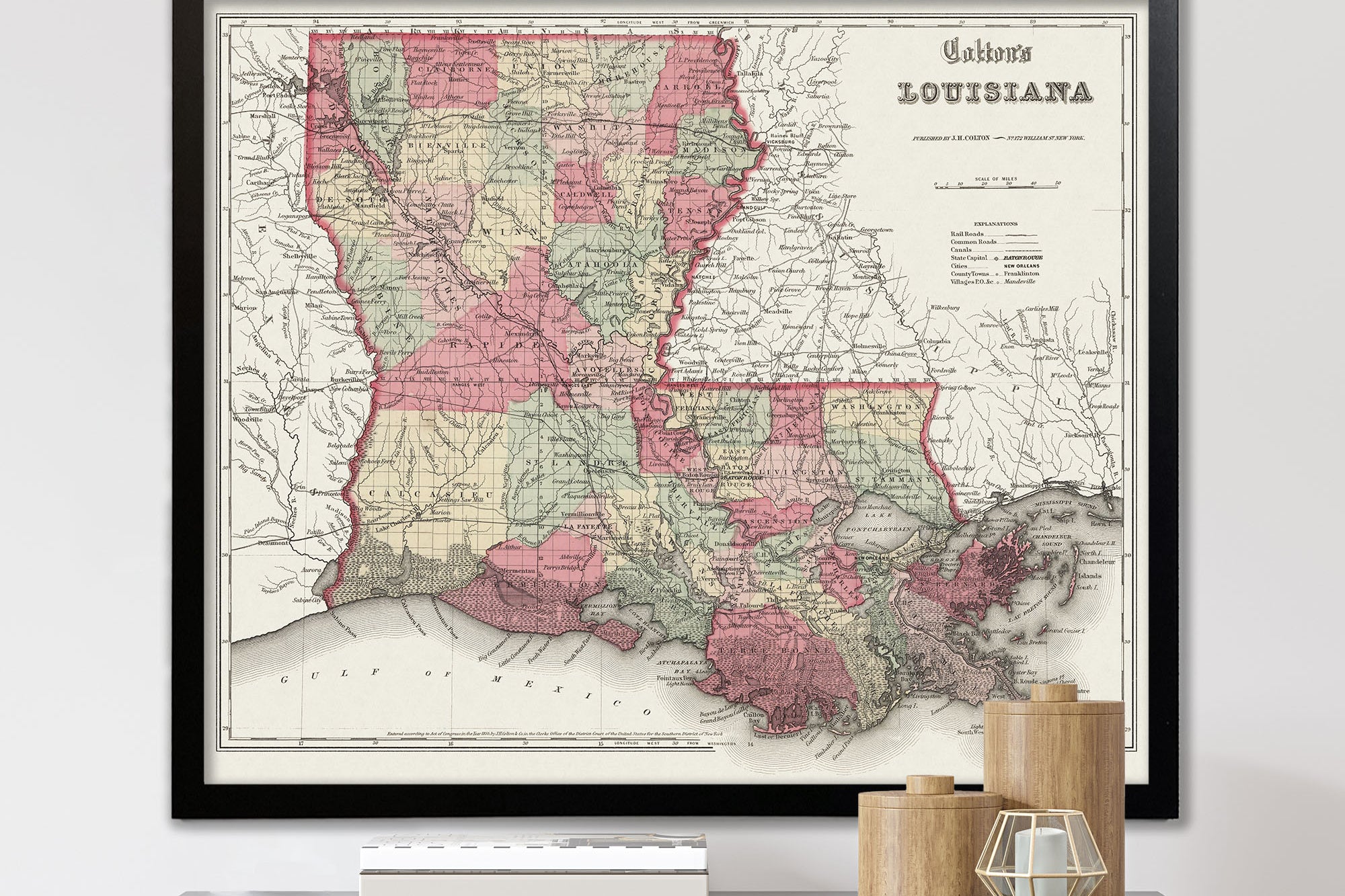
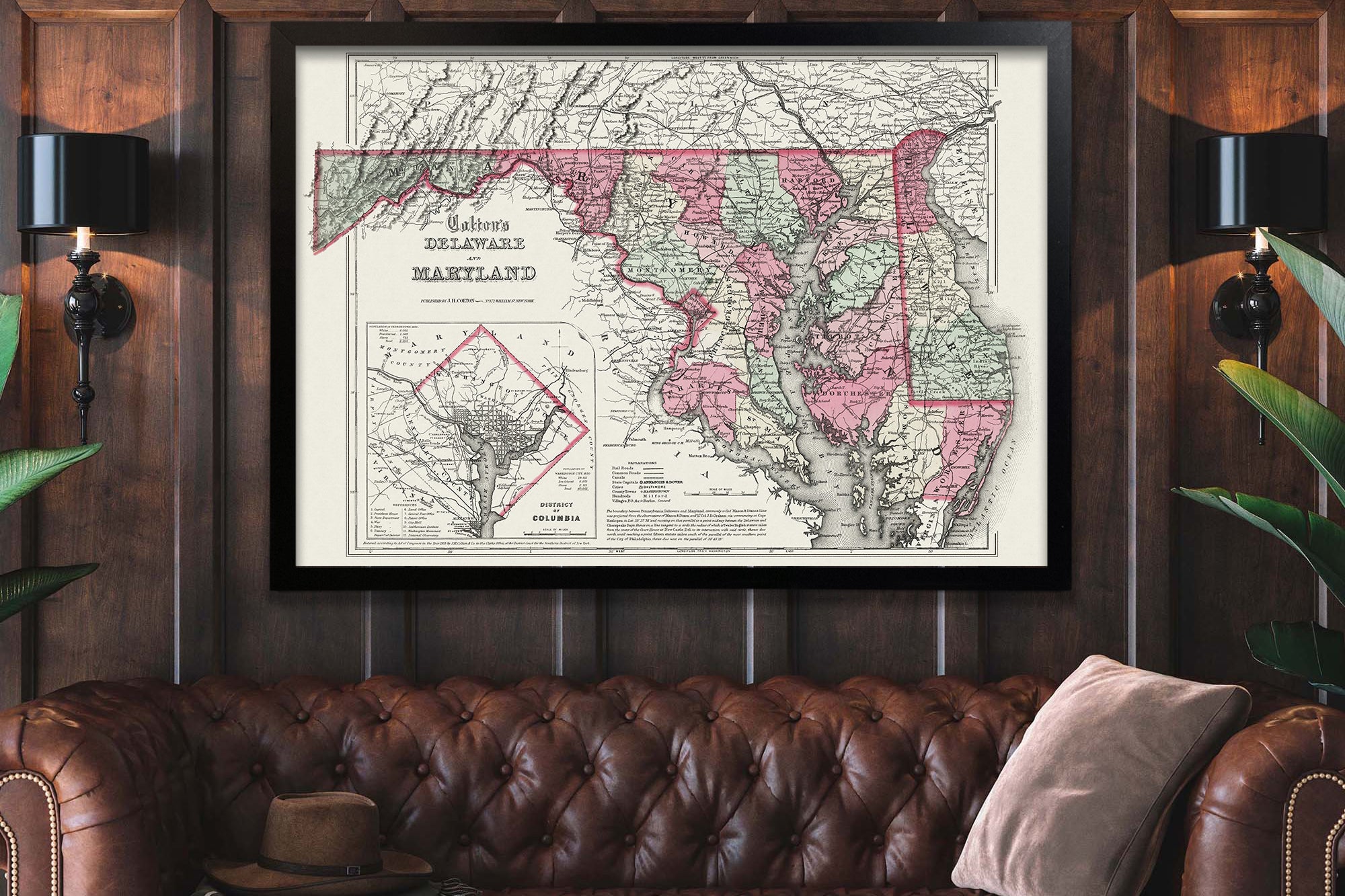
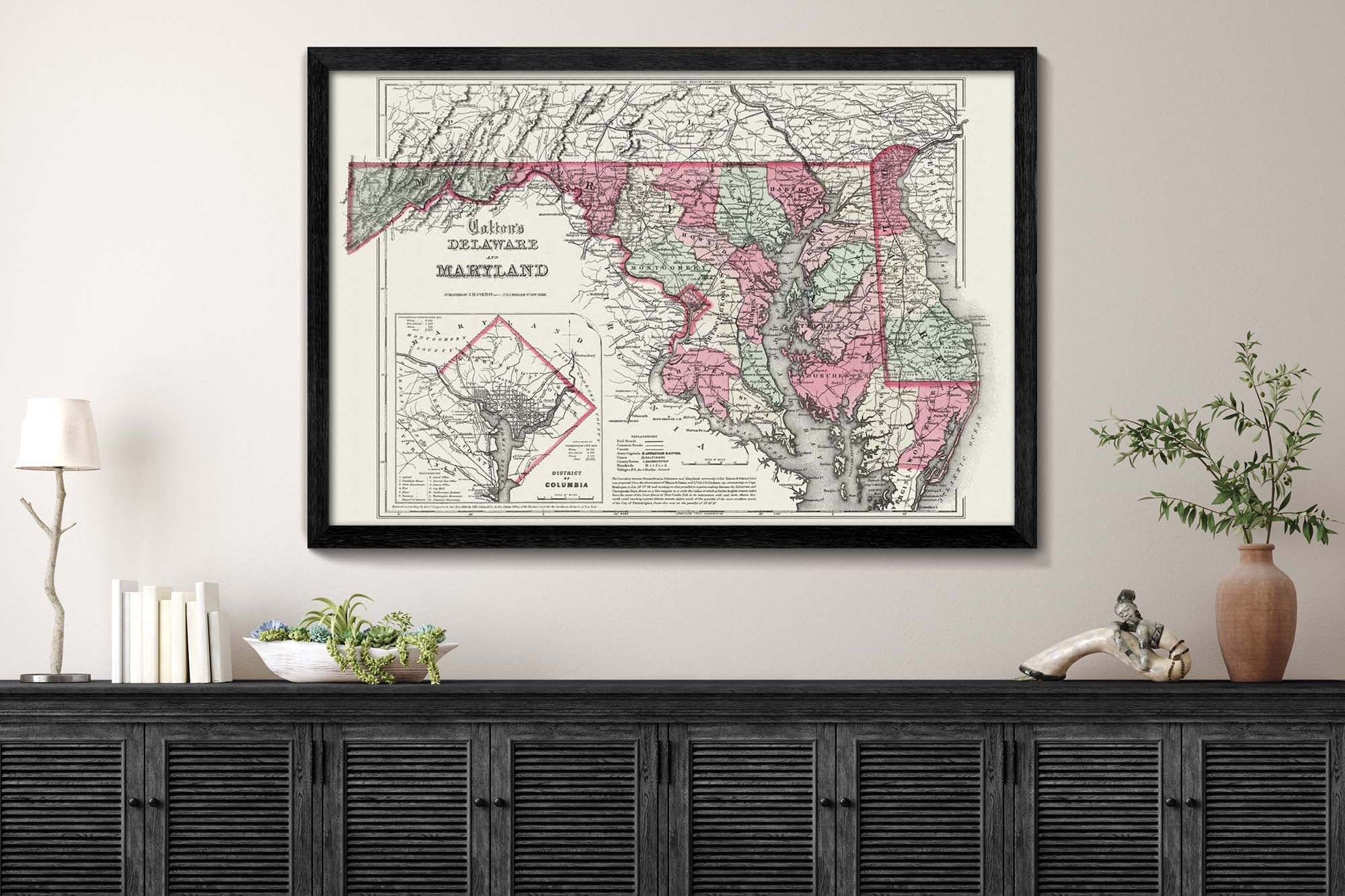
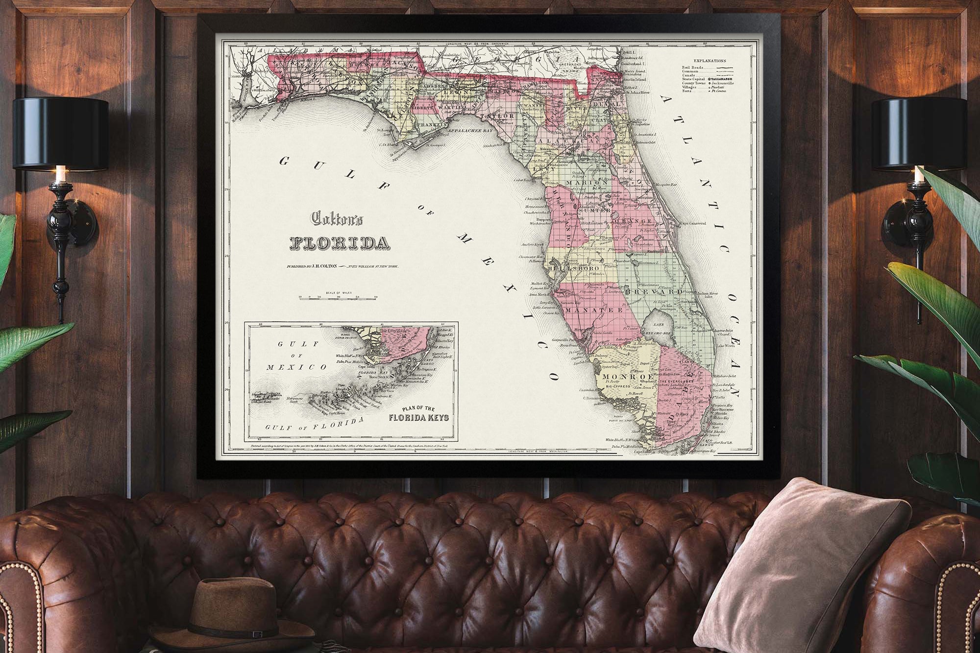
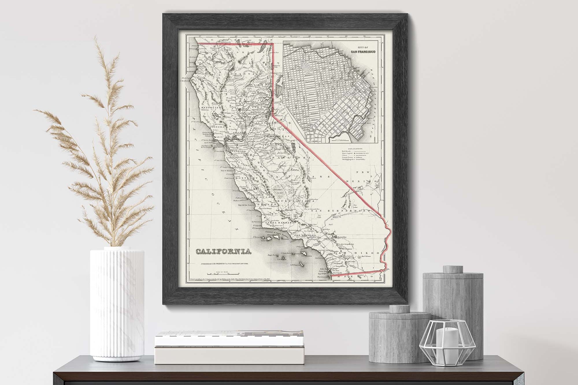
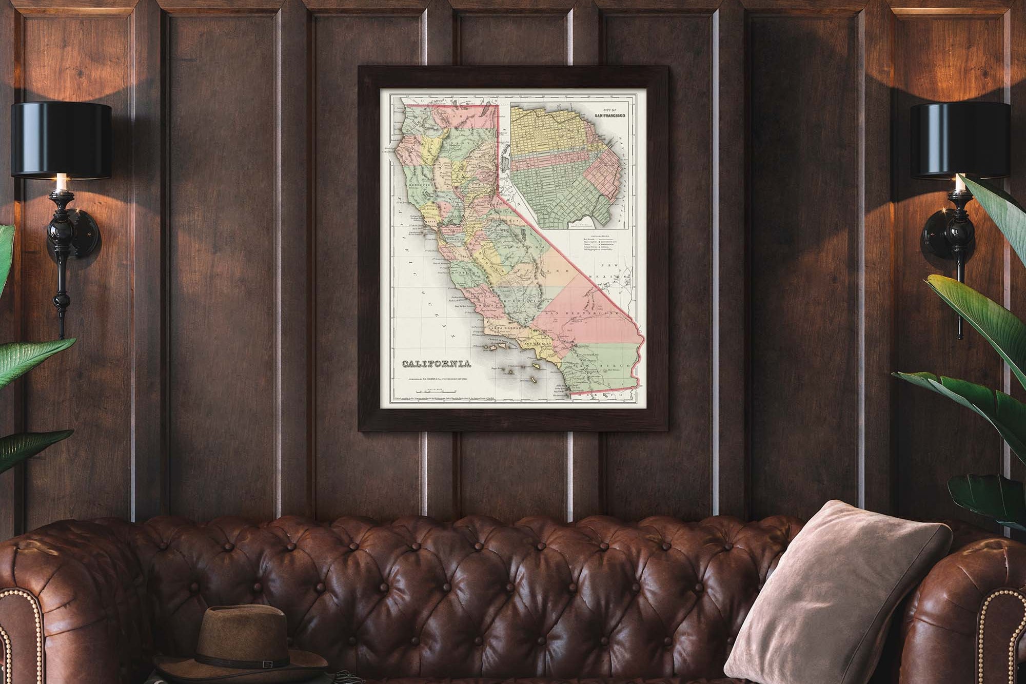
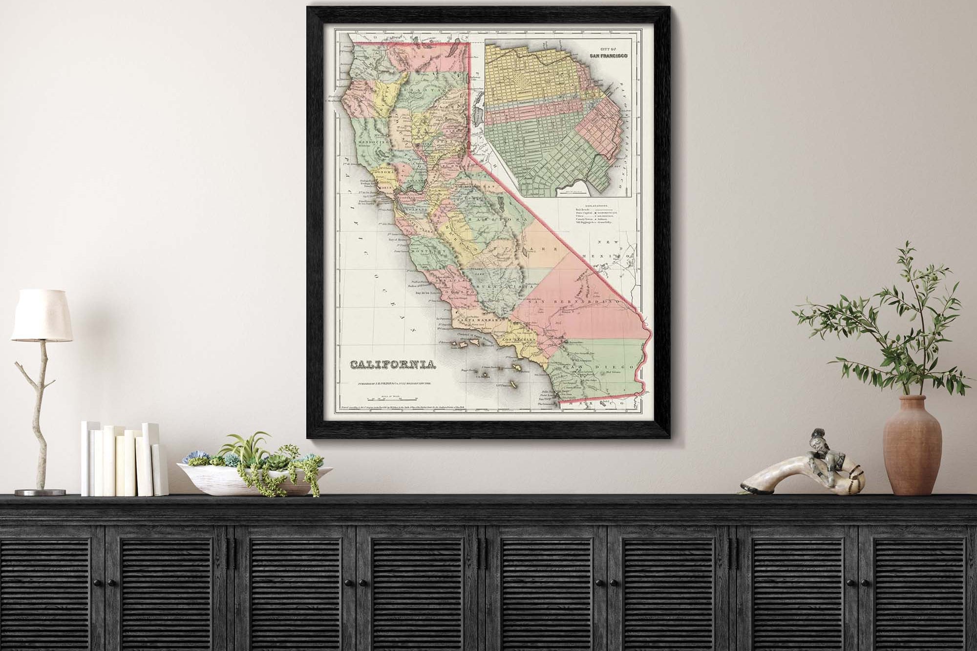
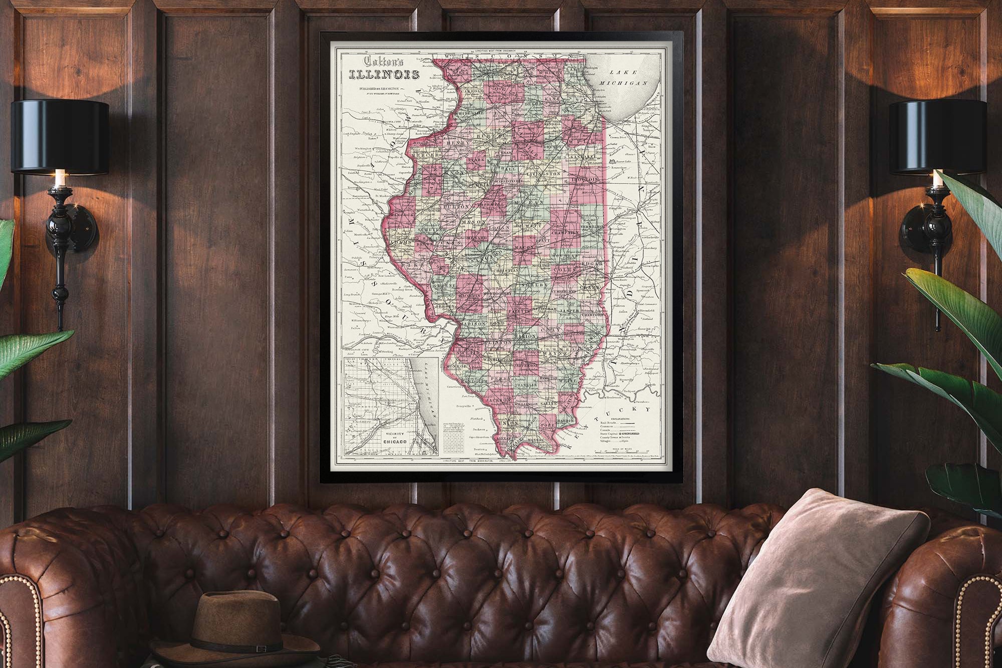
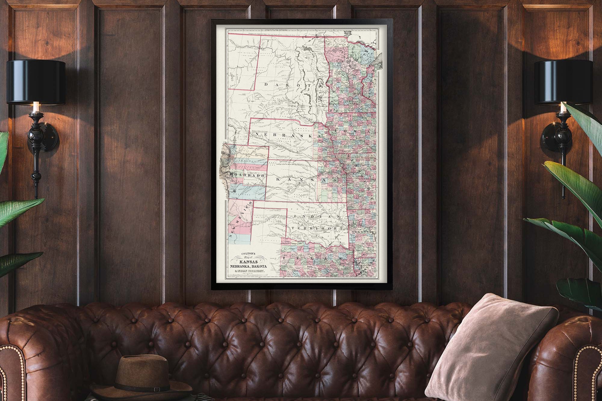
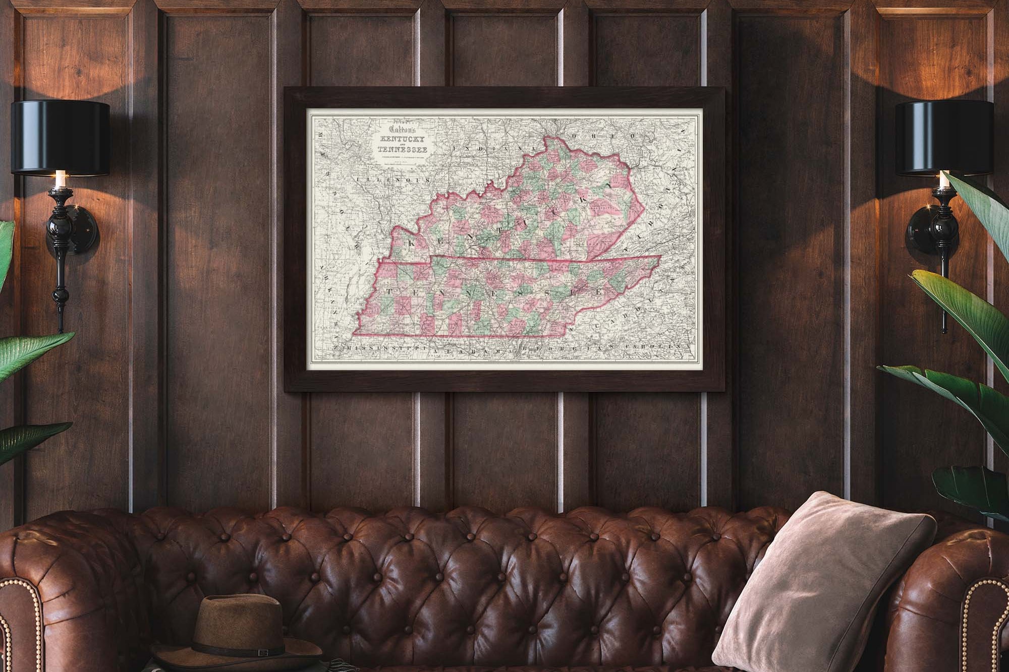
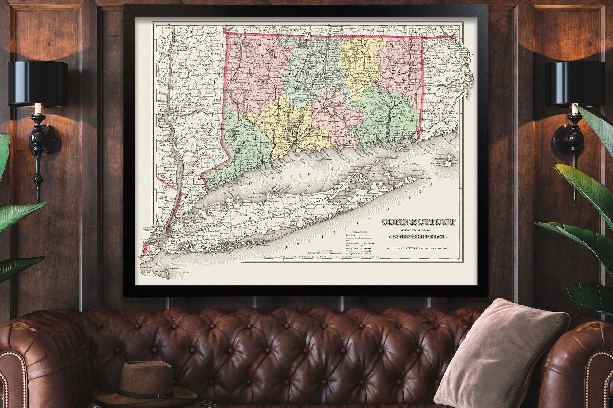
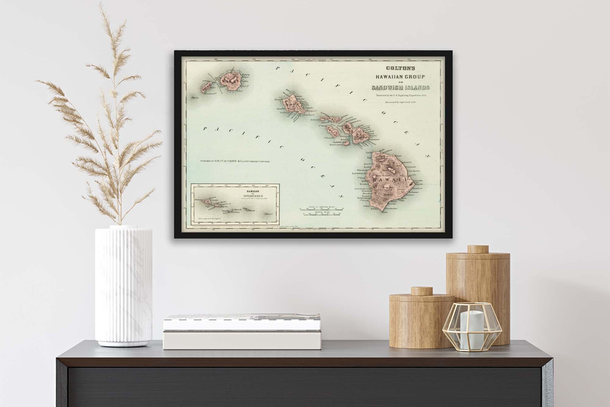
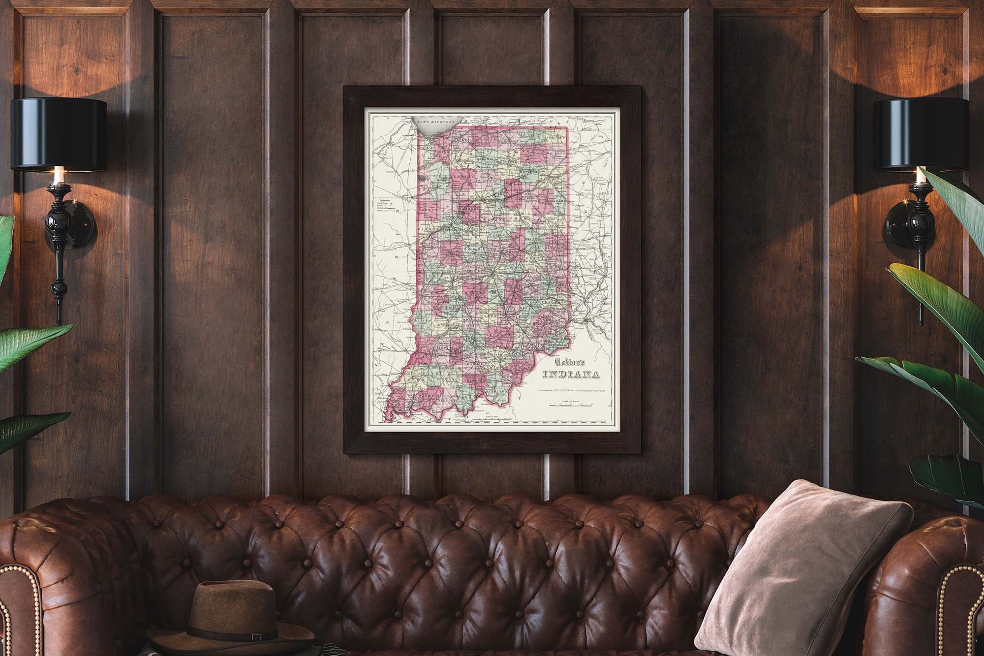
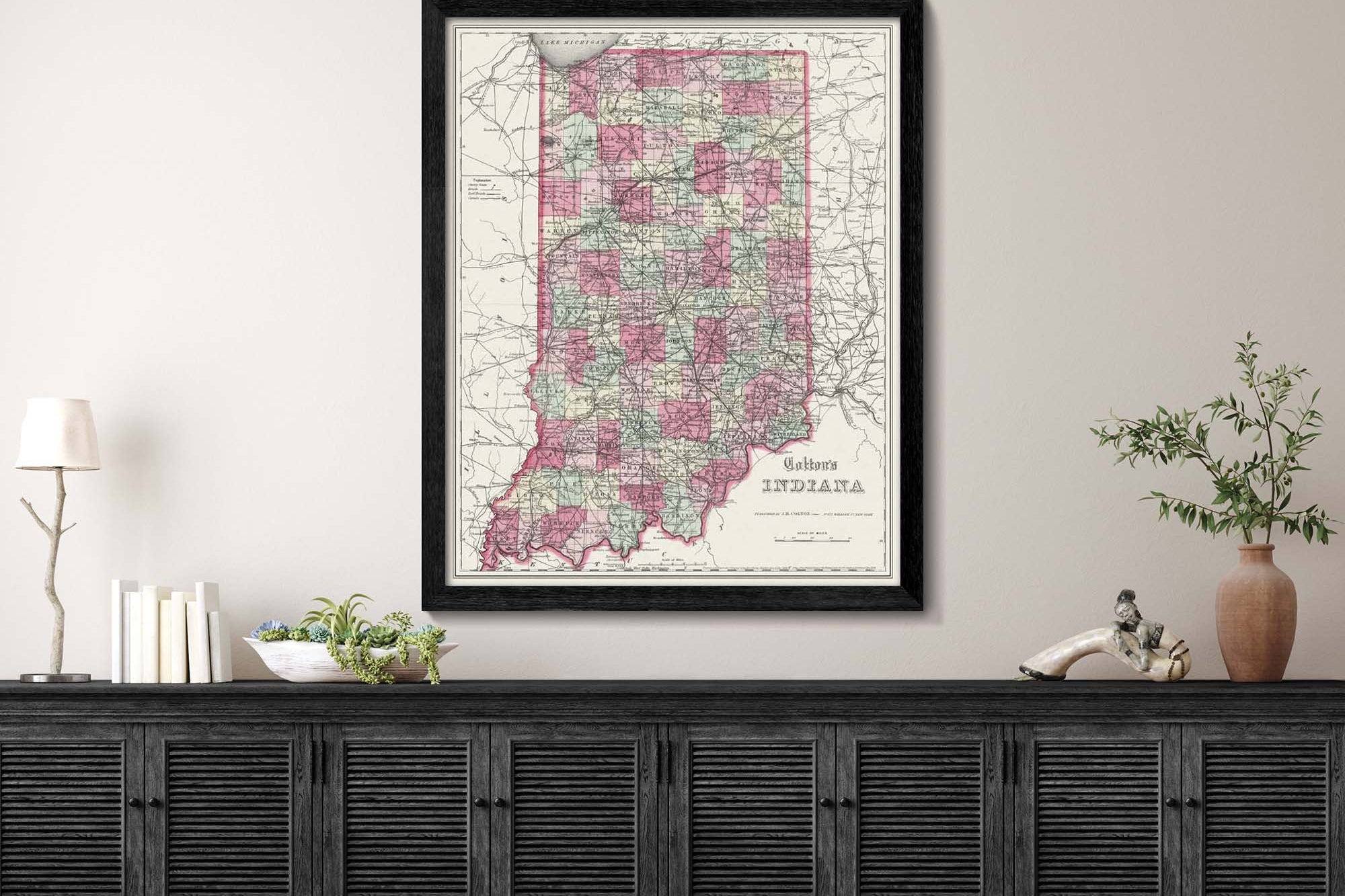
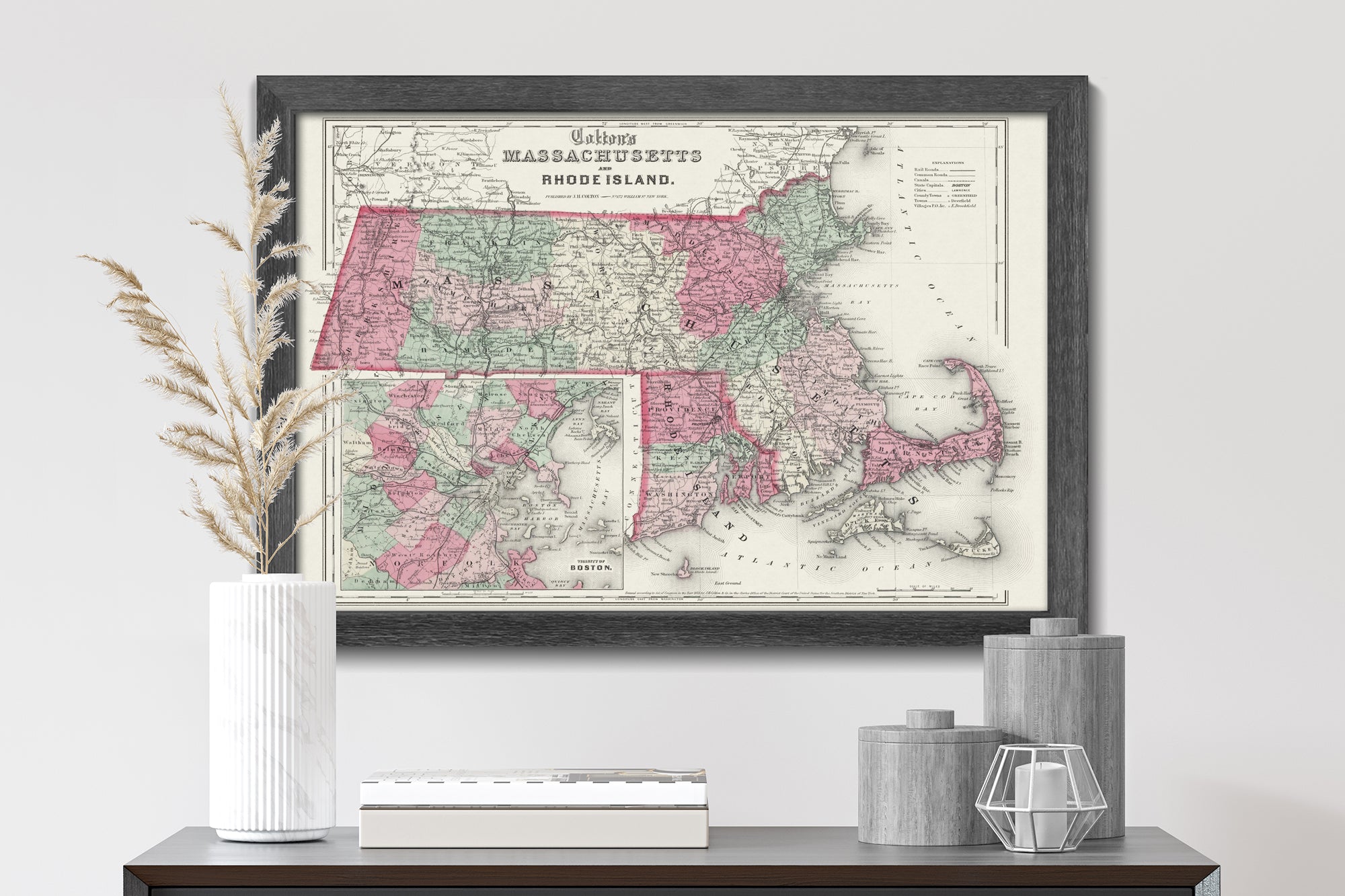
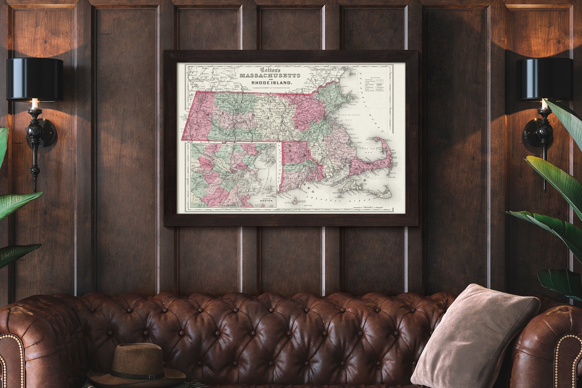
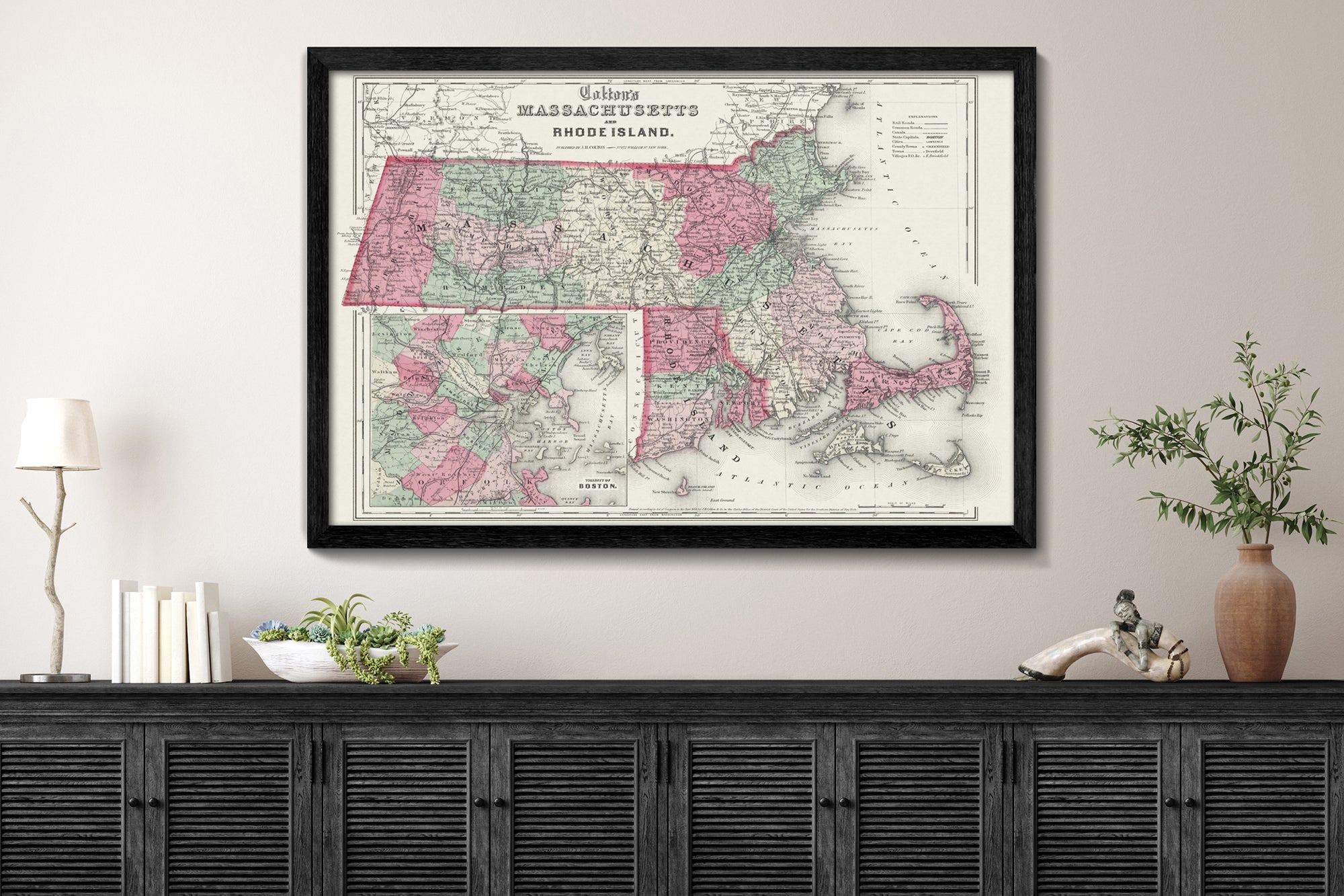
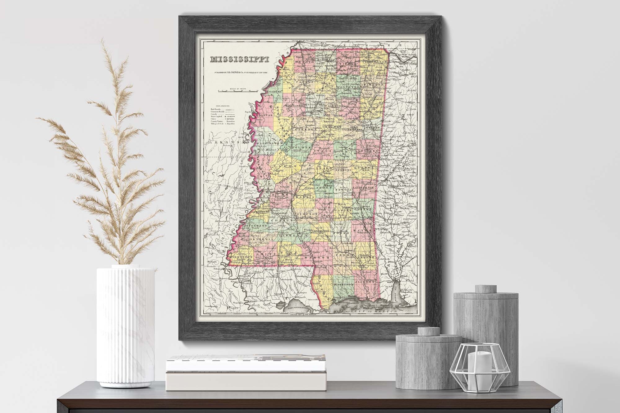
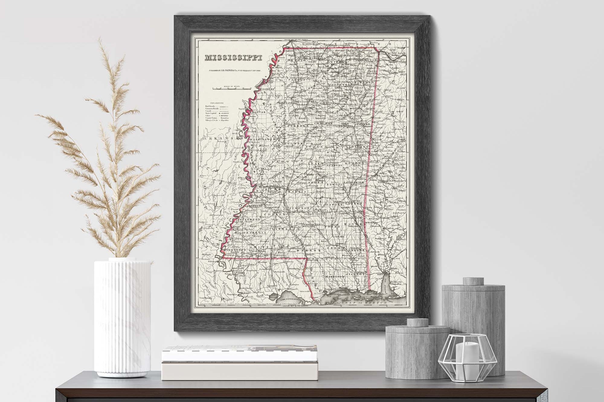
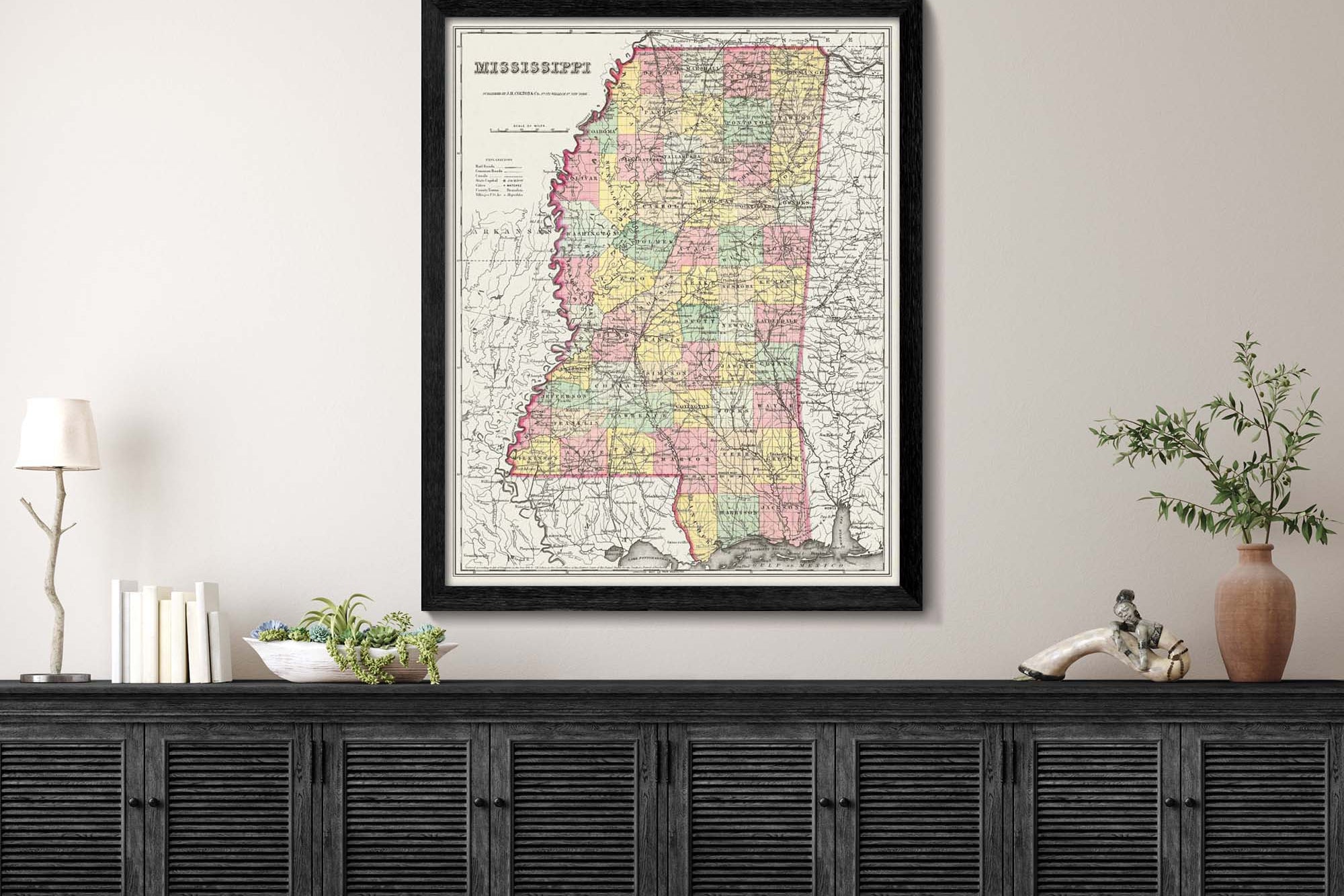
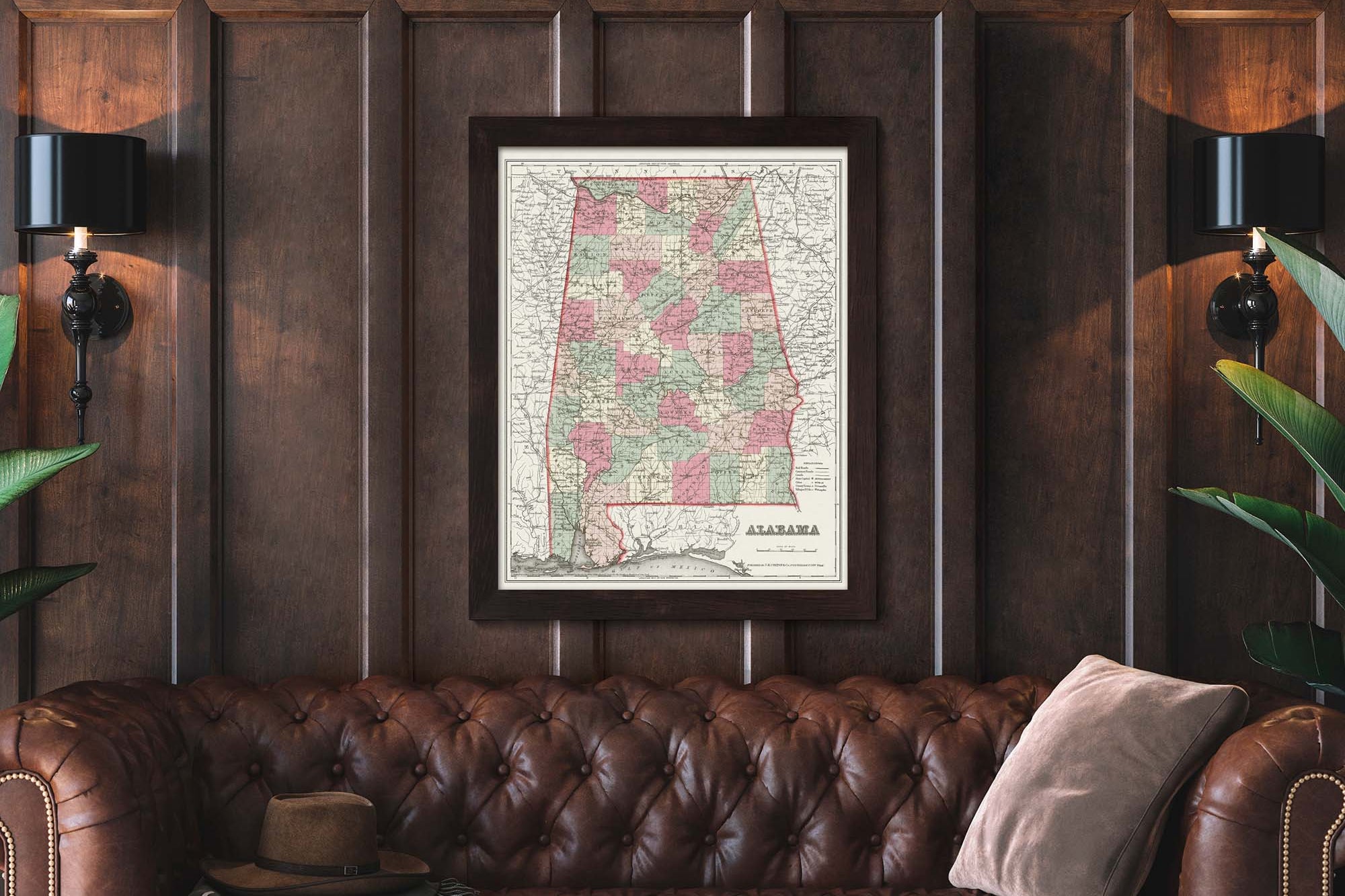
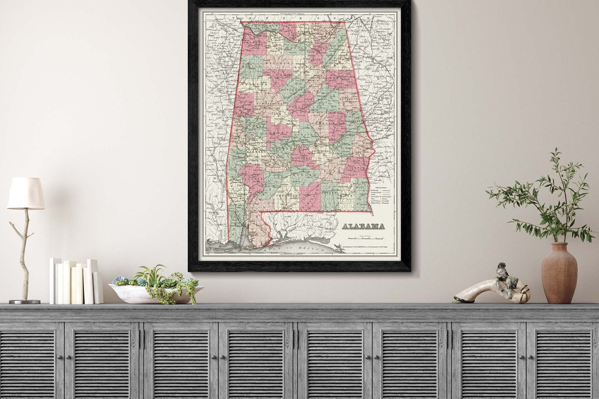
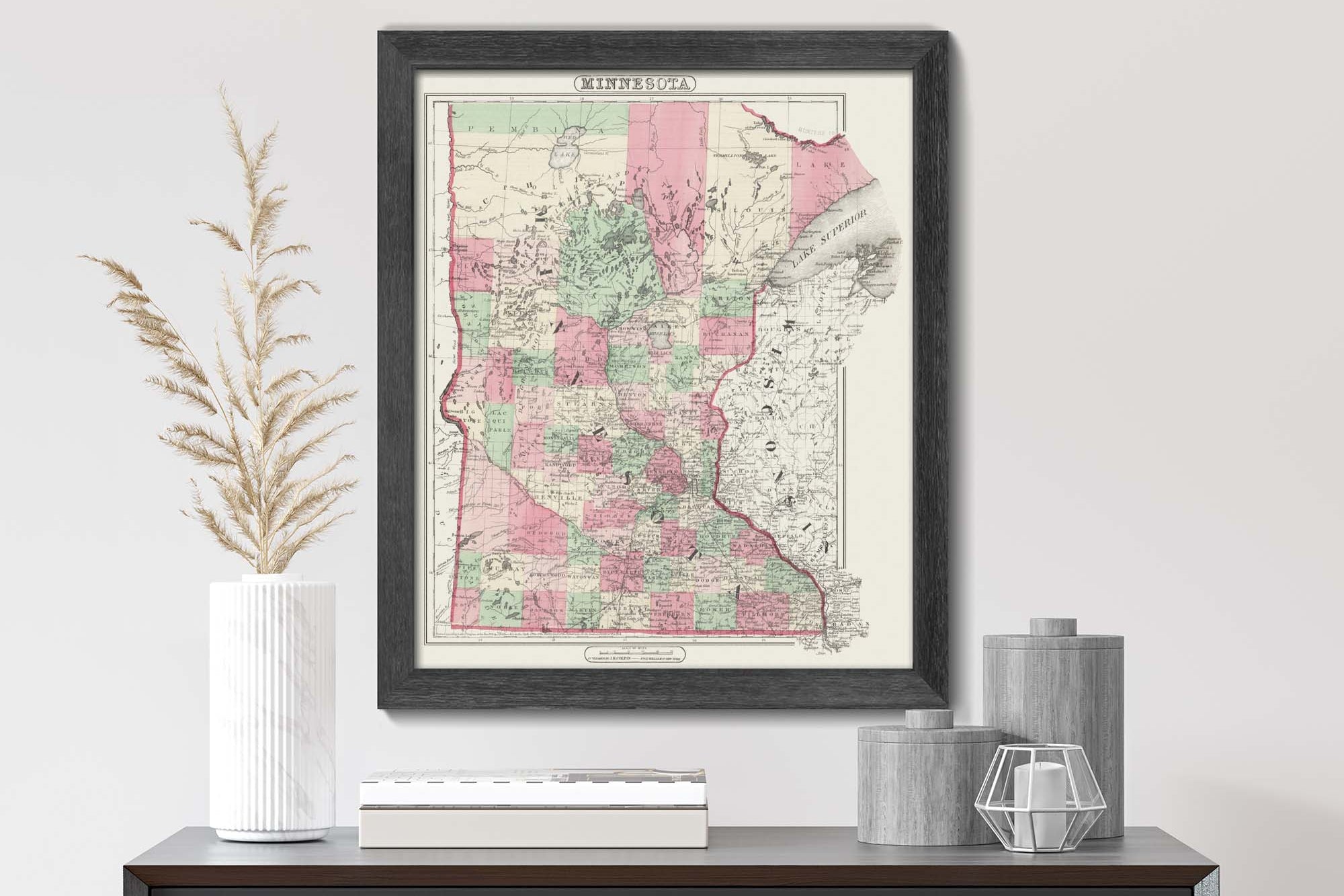
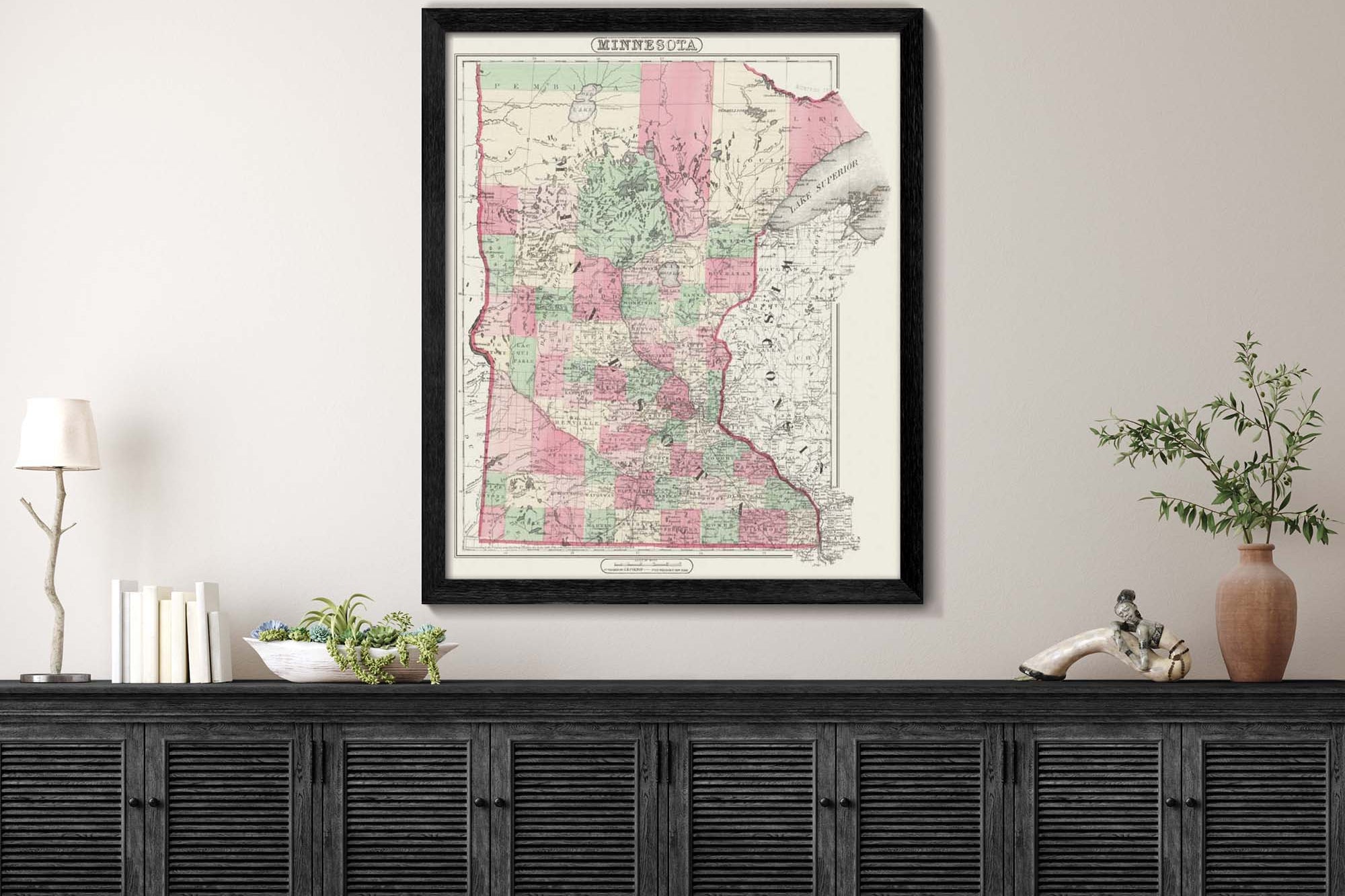
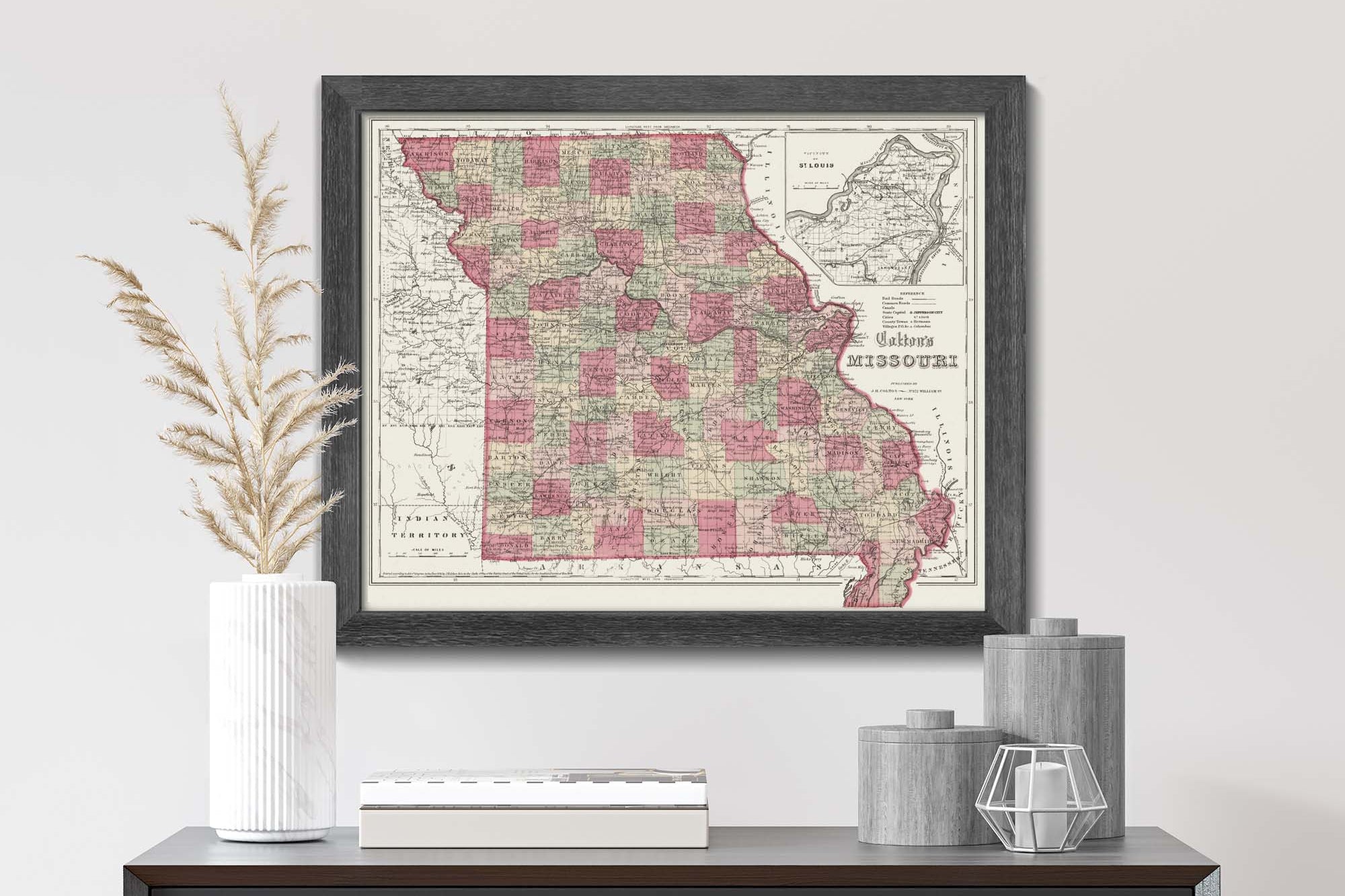
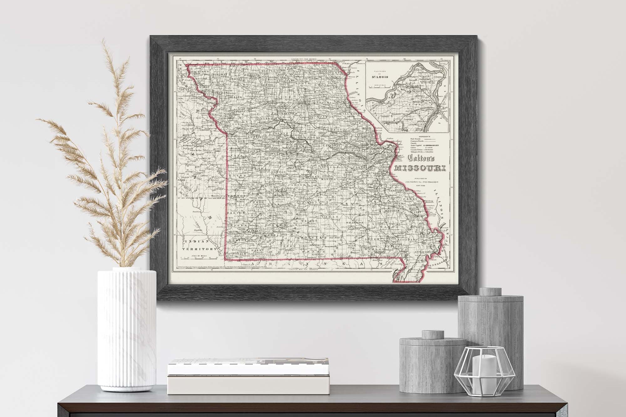
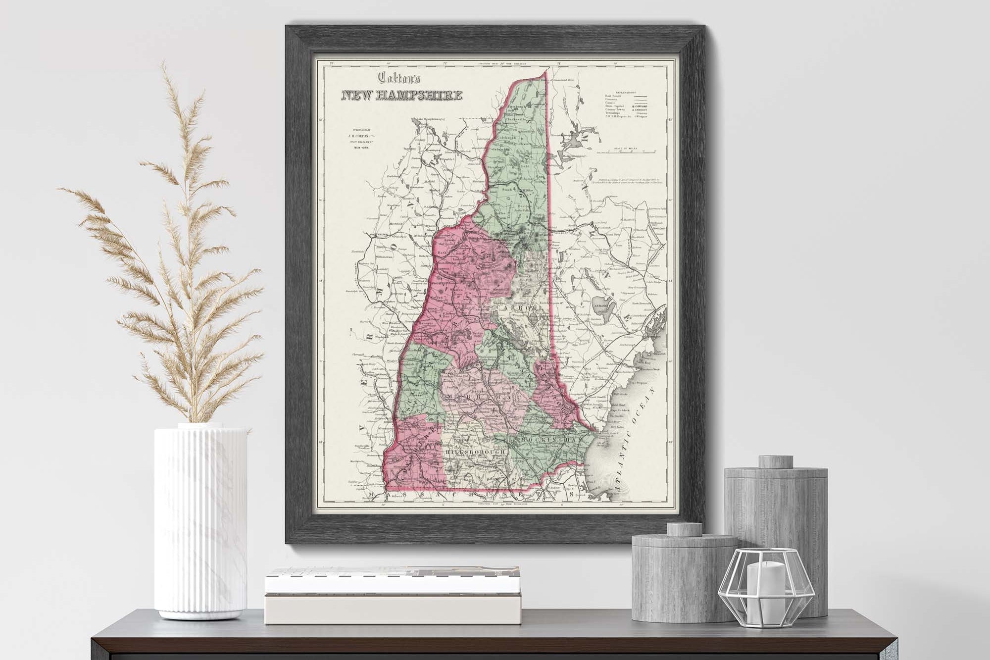
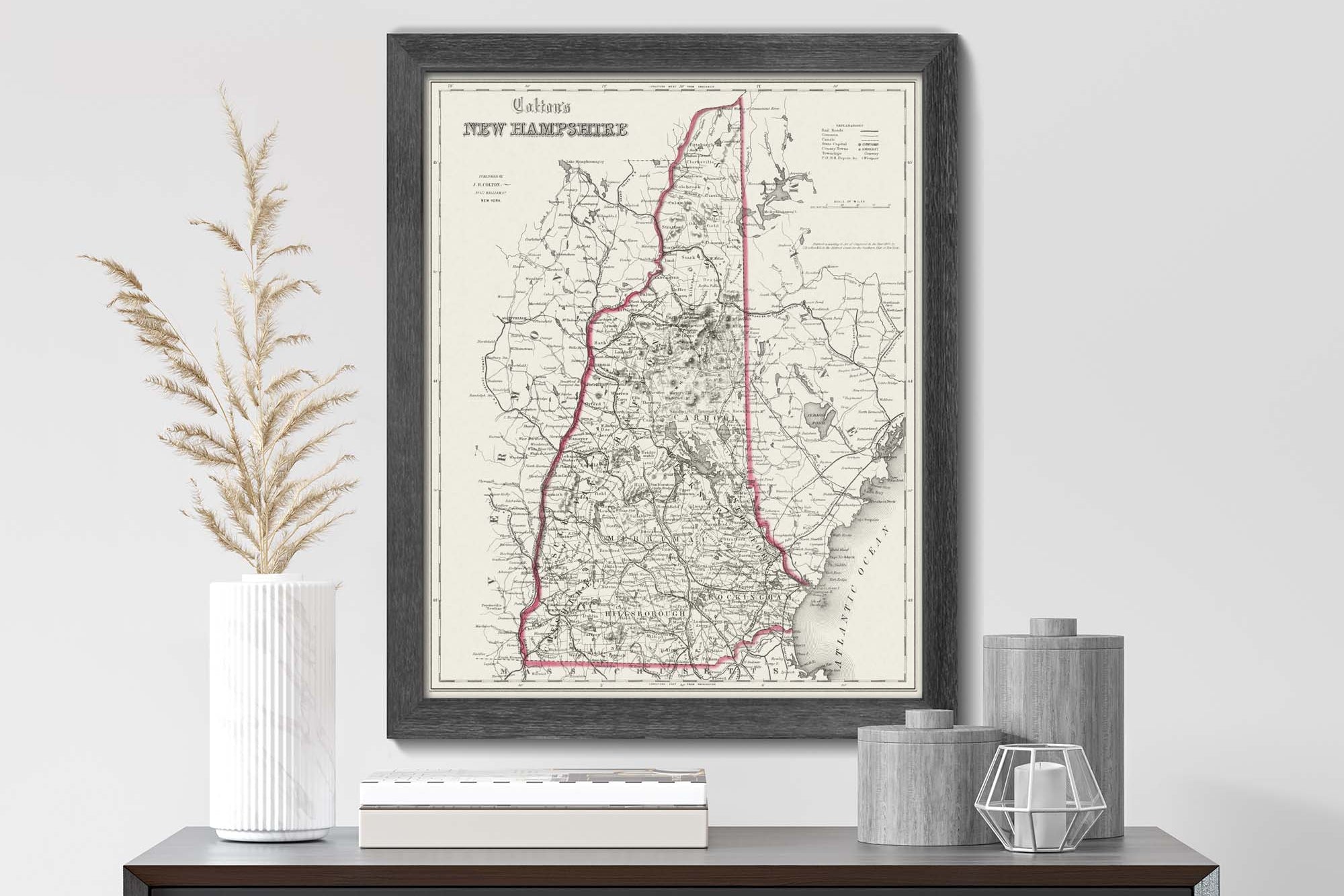
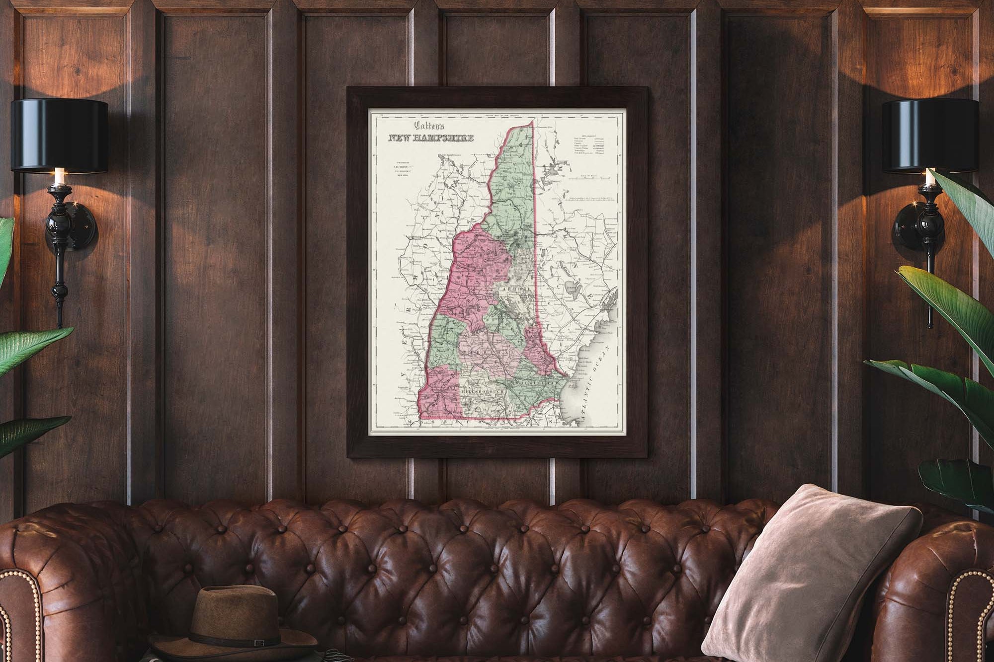
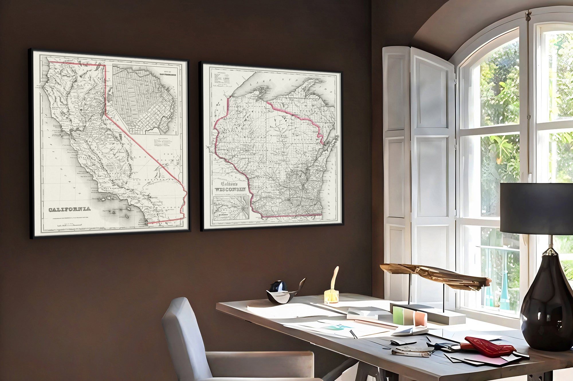
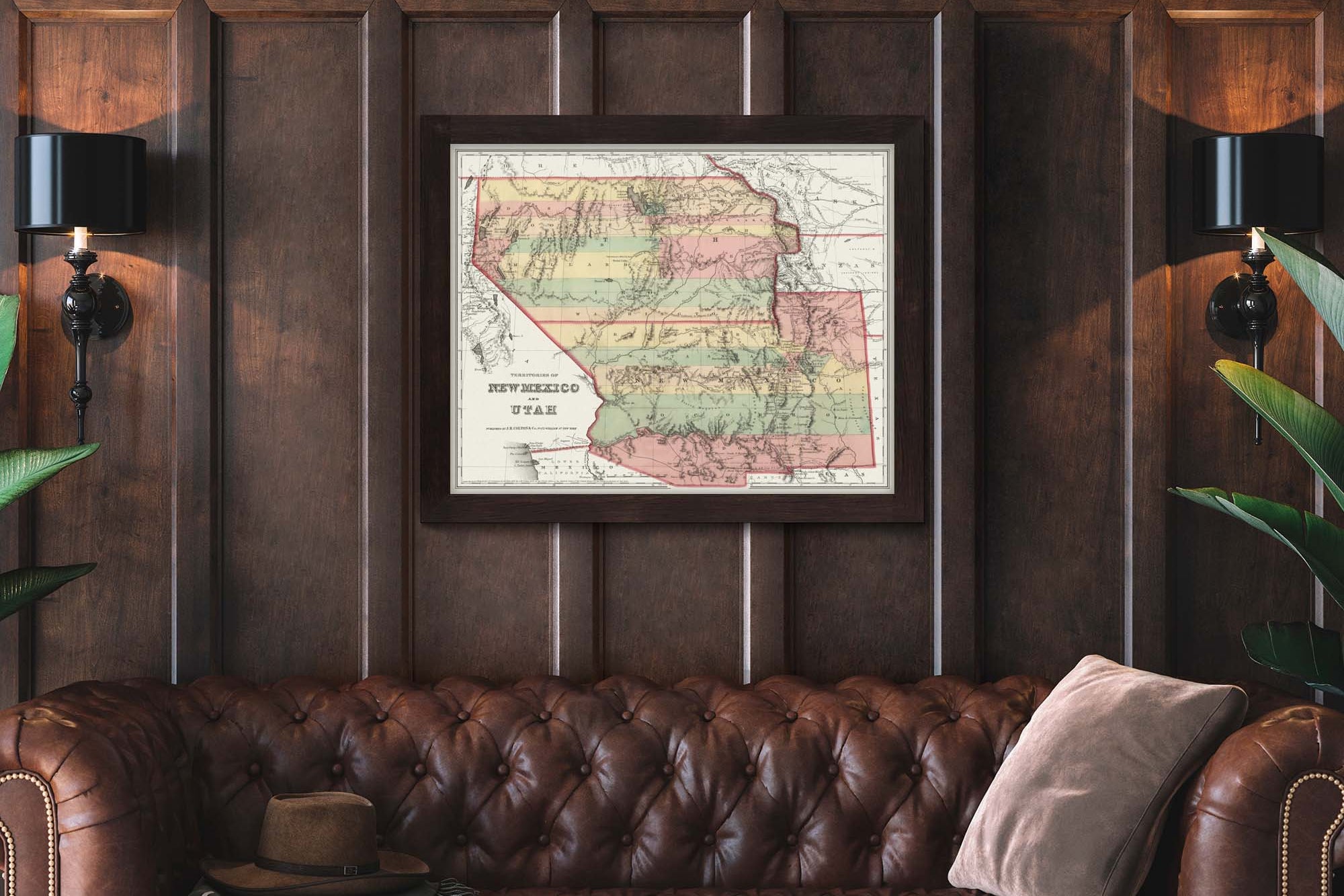
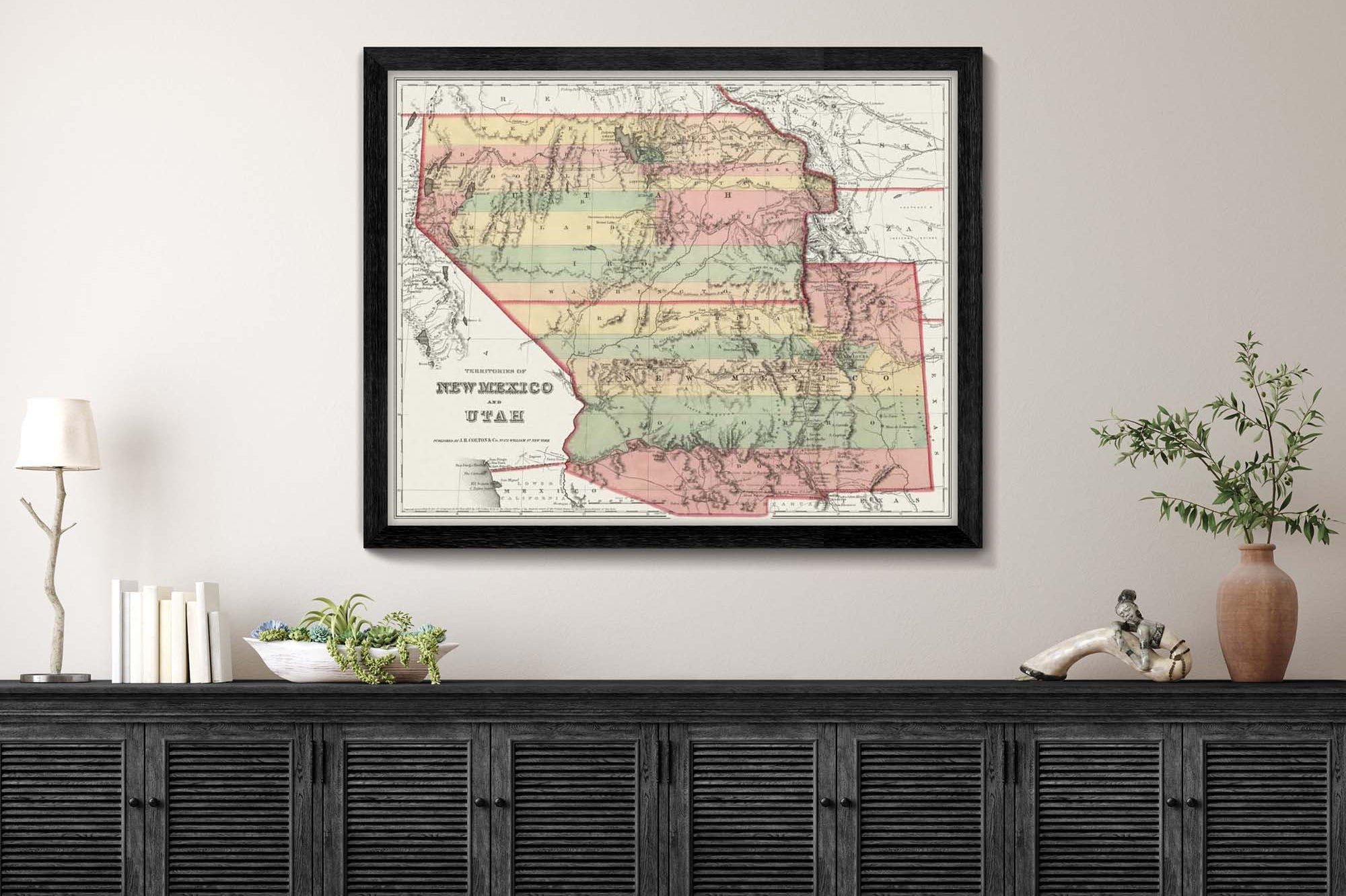
Display Ideas: The maps are designed to be displayed as beautiful and informative wall art for businesses and home decor. Customer's, clients, friends, and family will love the opportunity to explore this impressive artwork.
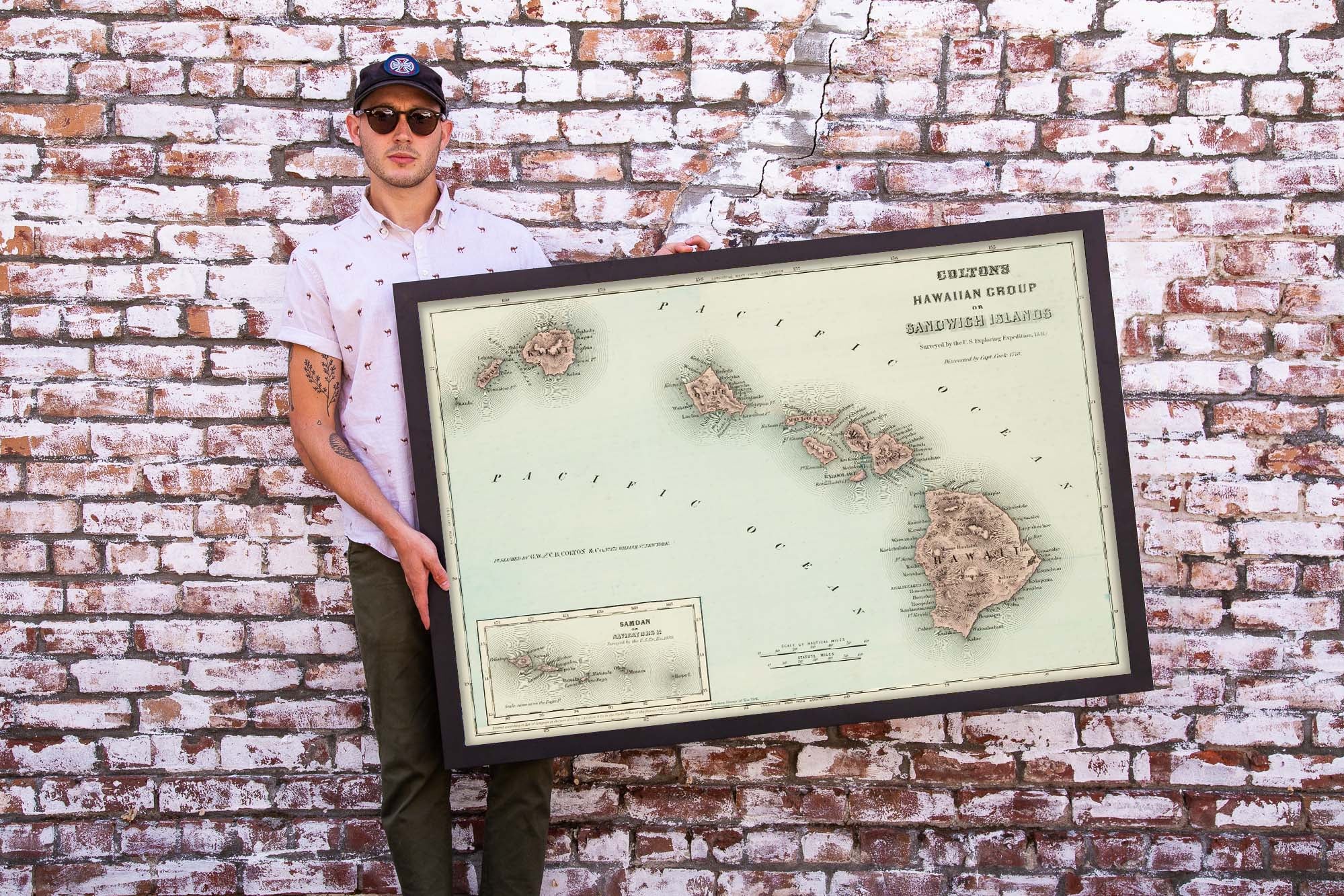
Larger Sizes and Custom Sizes: We can enlarge any of the maps using special graphic technology. Contact us if you would like to order a special size. Please remember that there will be a nominal charge to work on any special requests so we can support our staff's work.
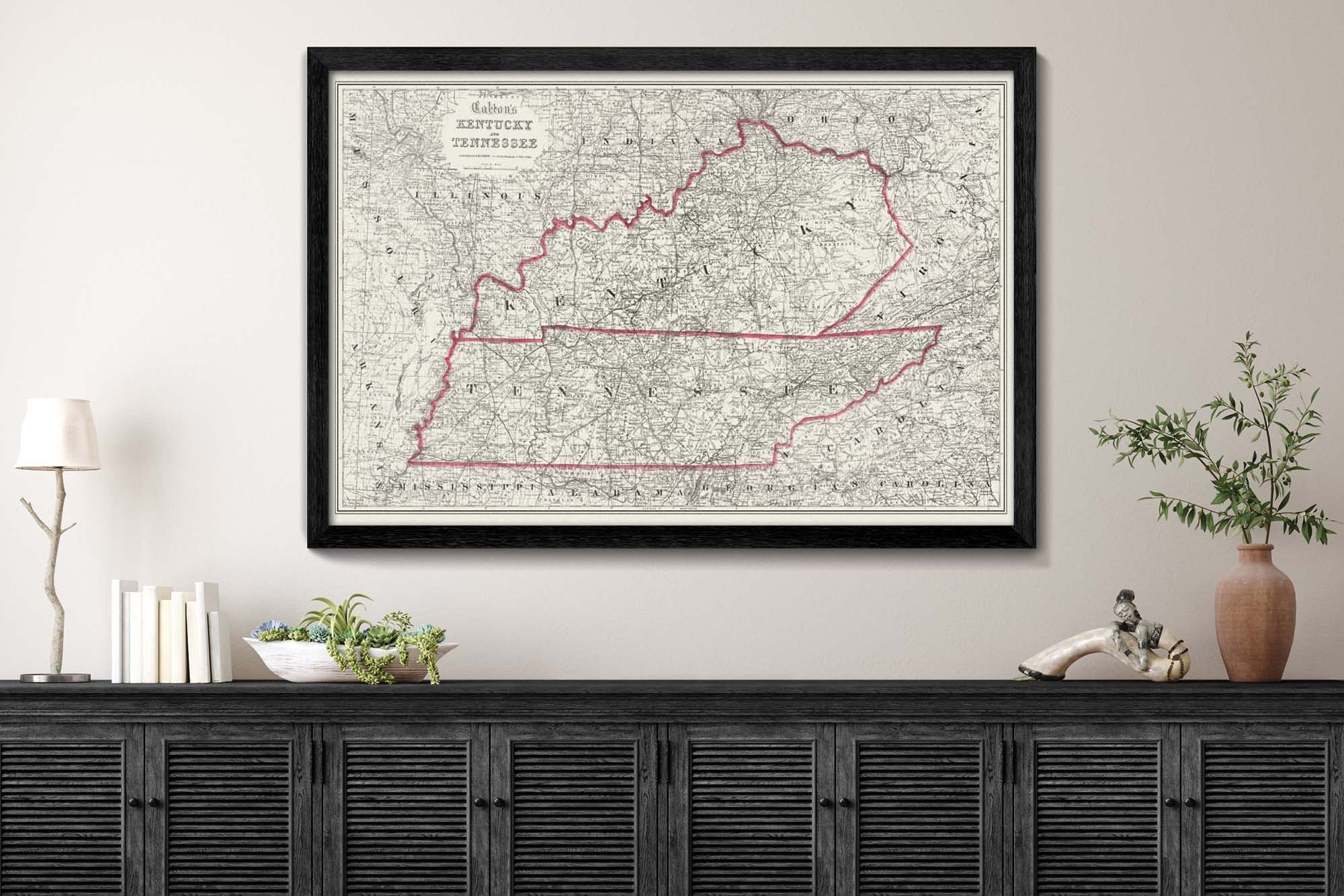
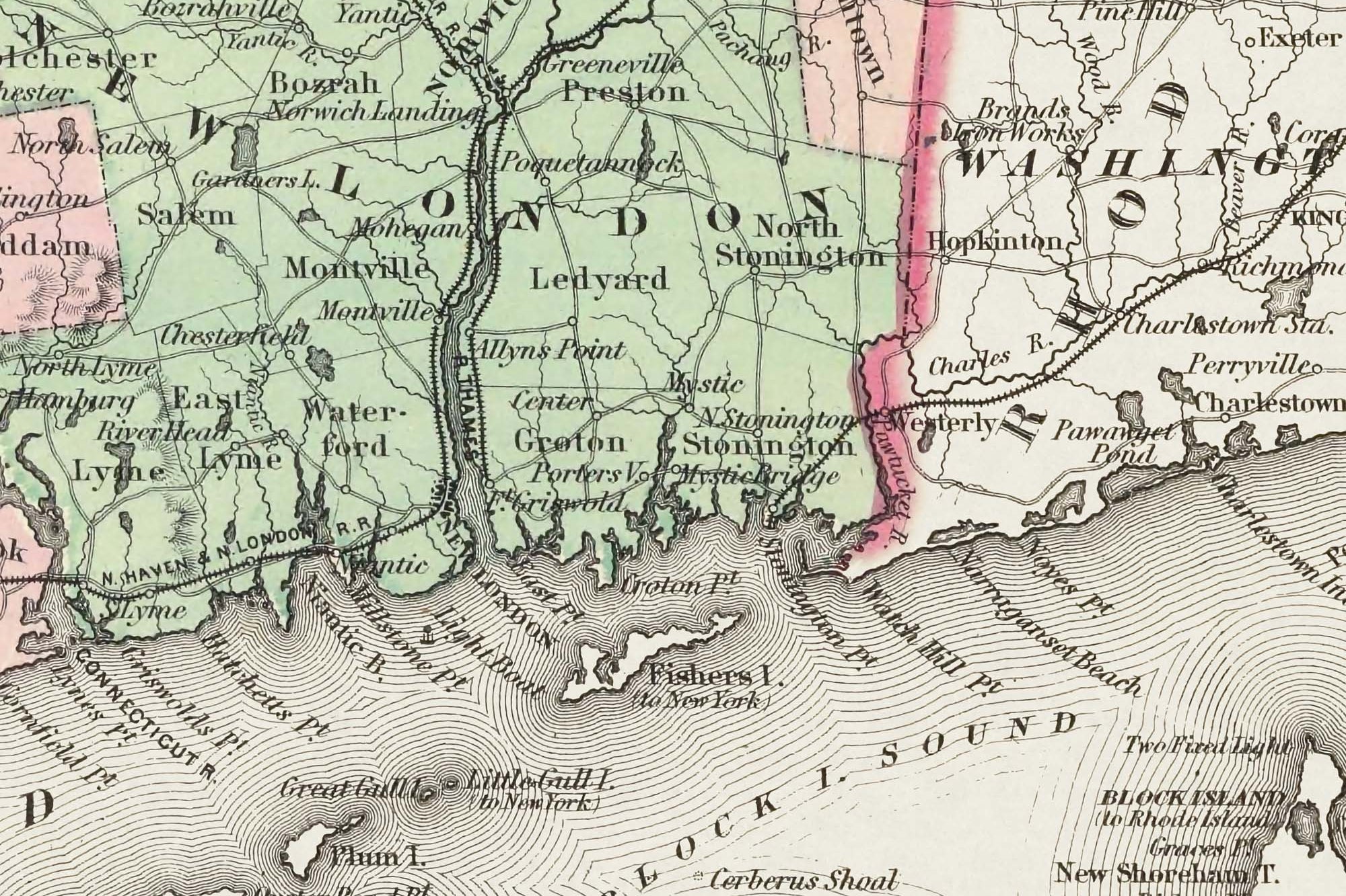
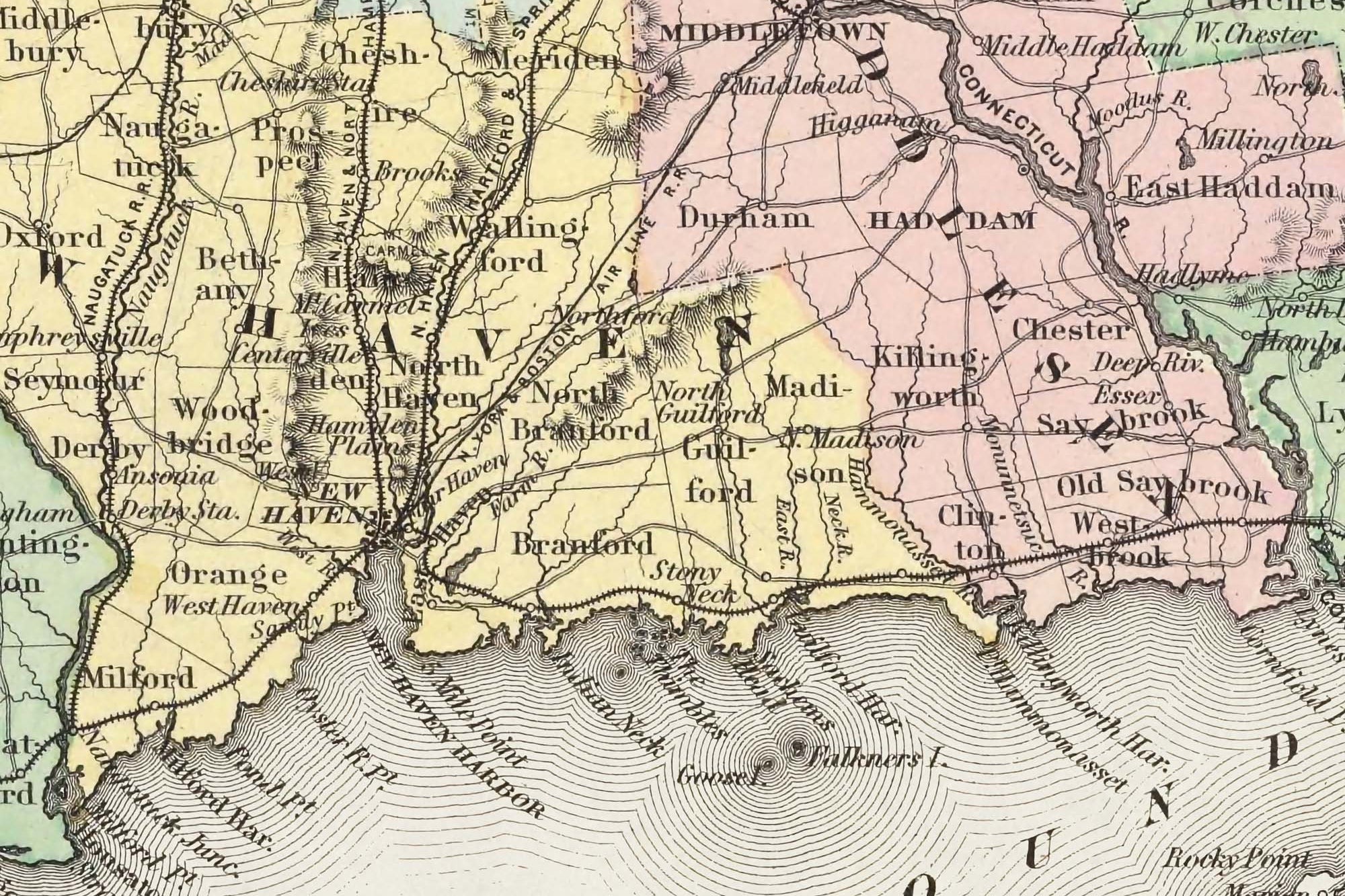
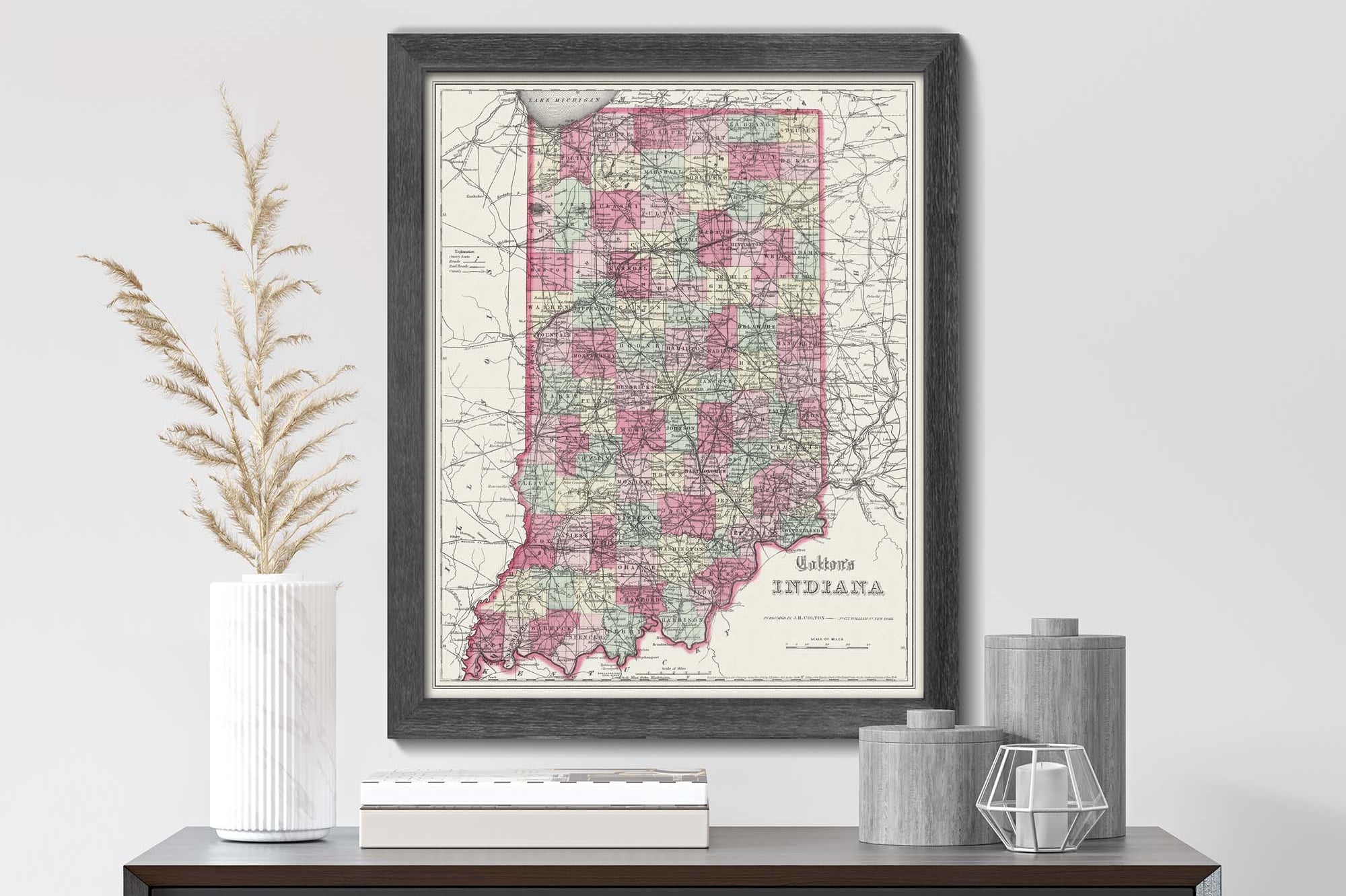
History Buffs and Map Lovers will love our maps: Our vintage or antique style USA State Maps feature historical information from the 1850s America during the height of the Industrial Revolution, Gold Rush, Civil War, and USA expansion to the West. The maps are especially helpful for visualizing the railroads in the east and as they were building the routes to the Western states.
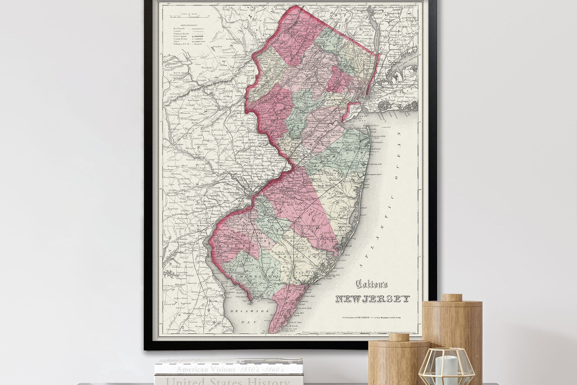
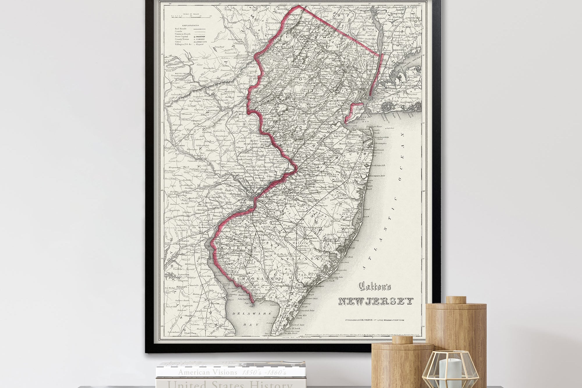
Fine Art Production: Our maps are produced as Fine Artwork. Every map is made to they are as clear as originally intended by the original Cartographer in the 1850s. We use archival printing technology and heavy weight paper. Our framed versions are made with all USA materials that are hand crafted in our shop. If you prefer the Print (unframed) version, we will roll the map in a sturdy tube to eliminate any creases.


Traveler Testimonials