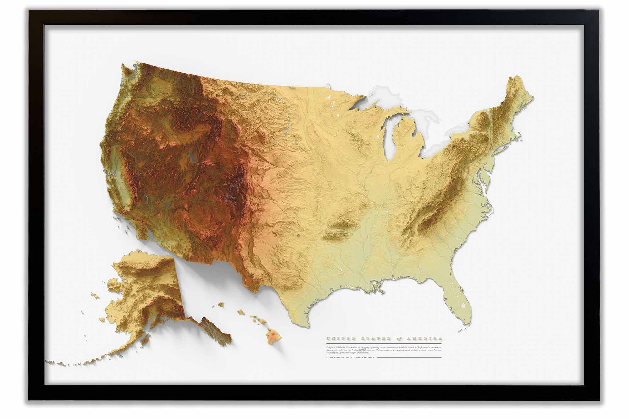
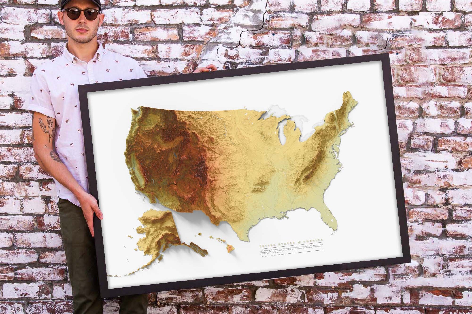
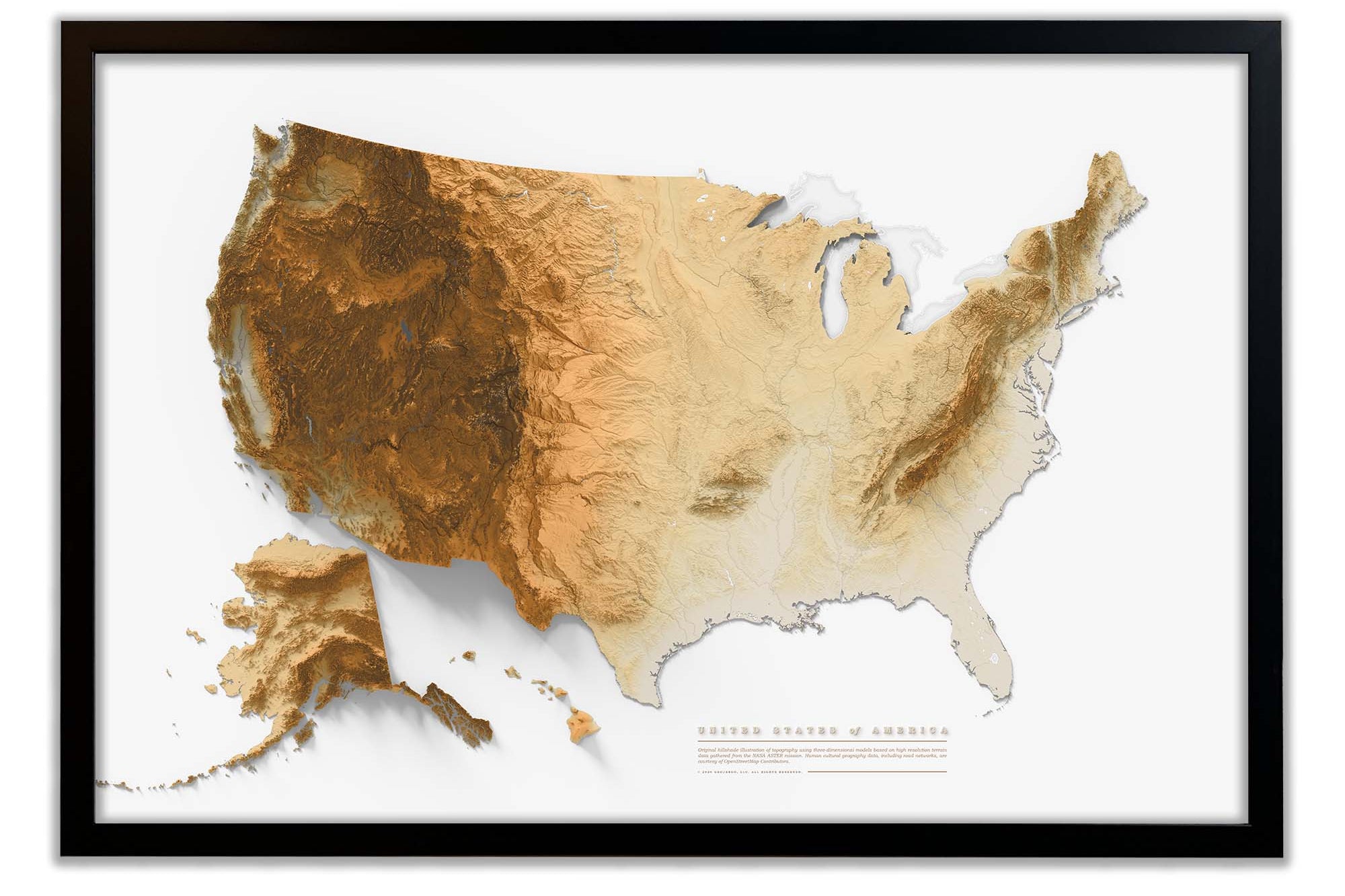
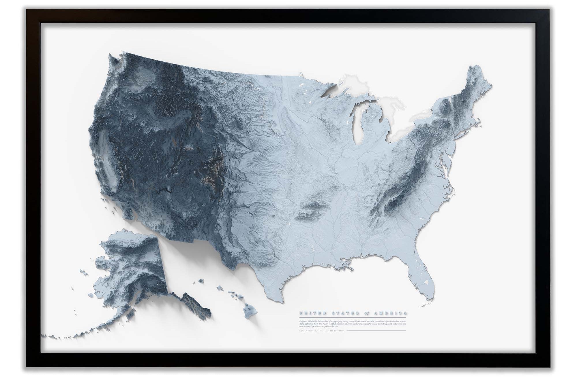
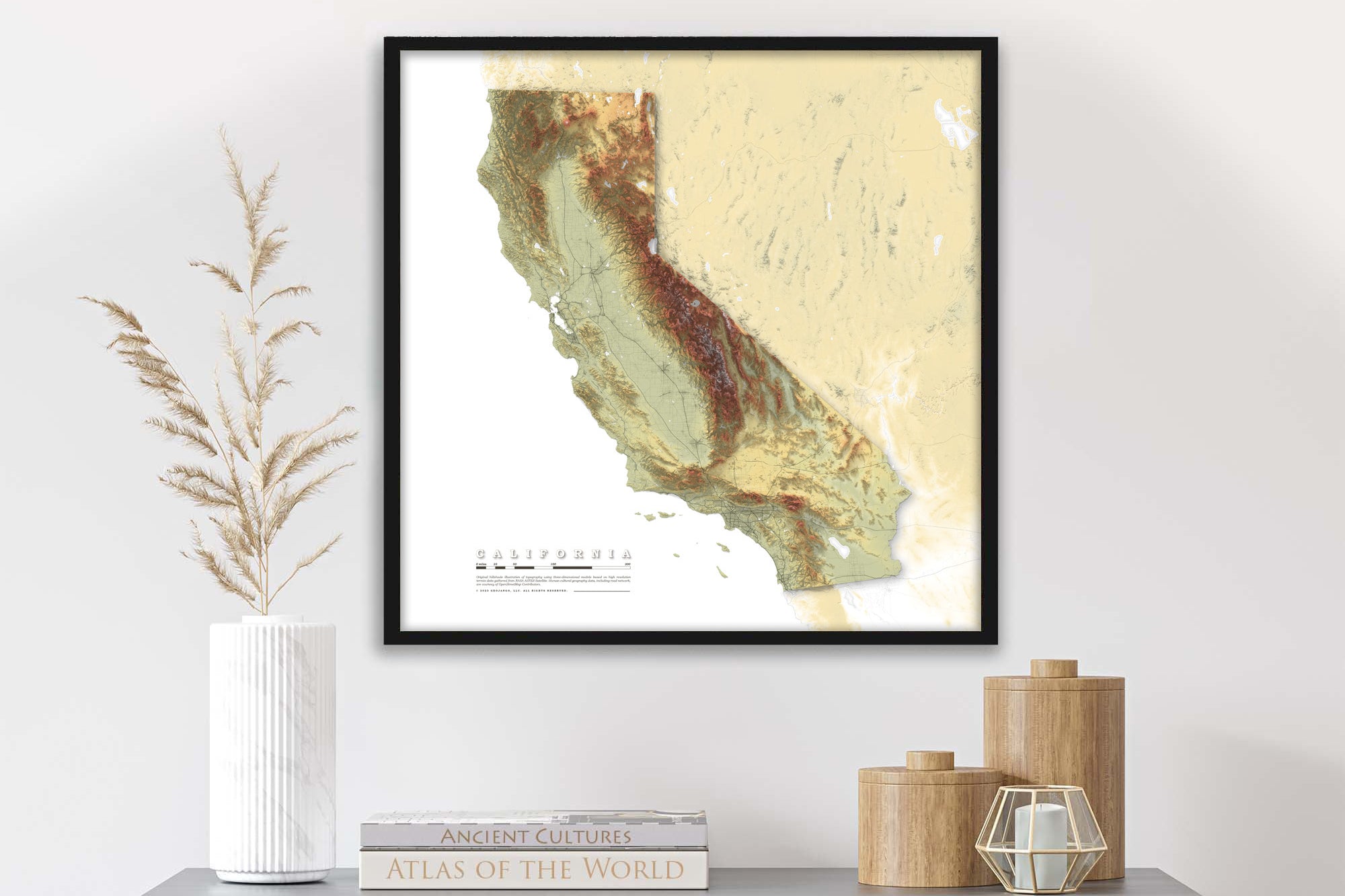
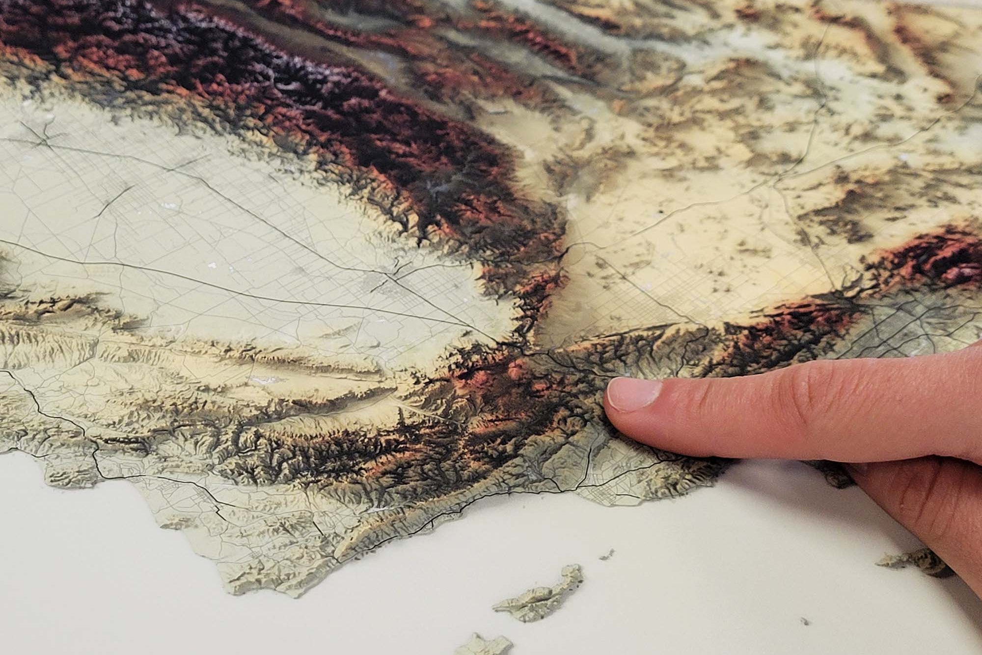
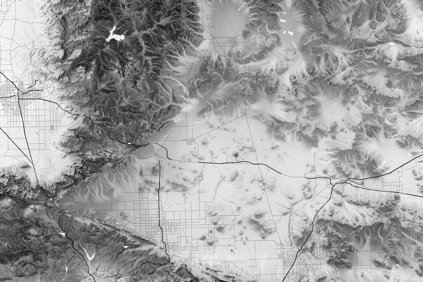
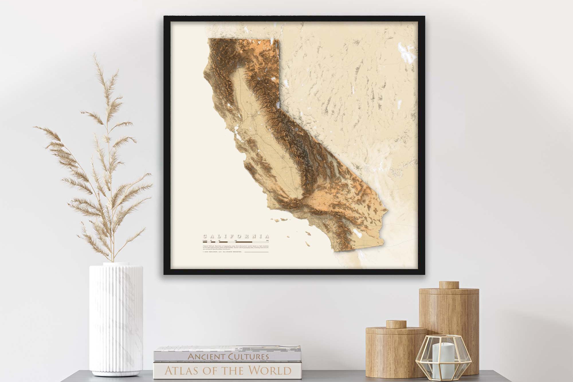
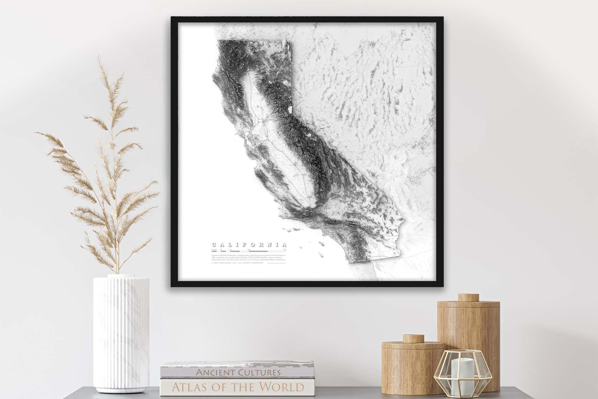
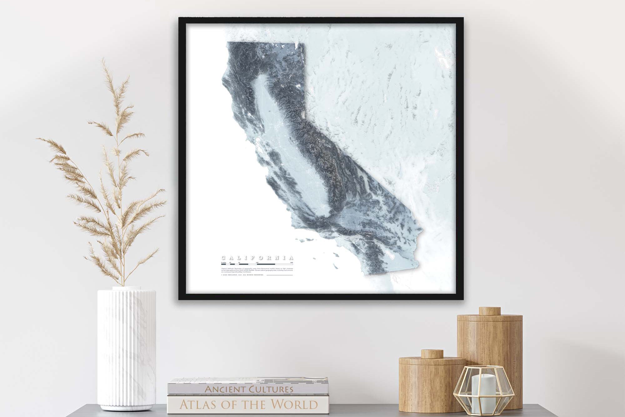
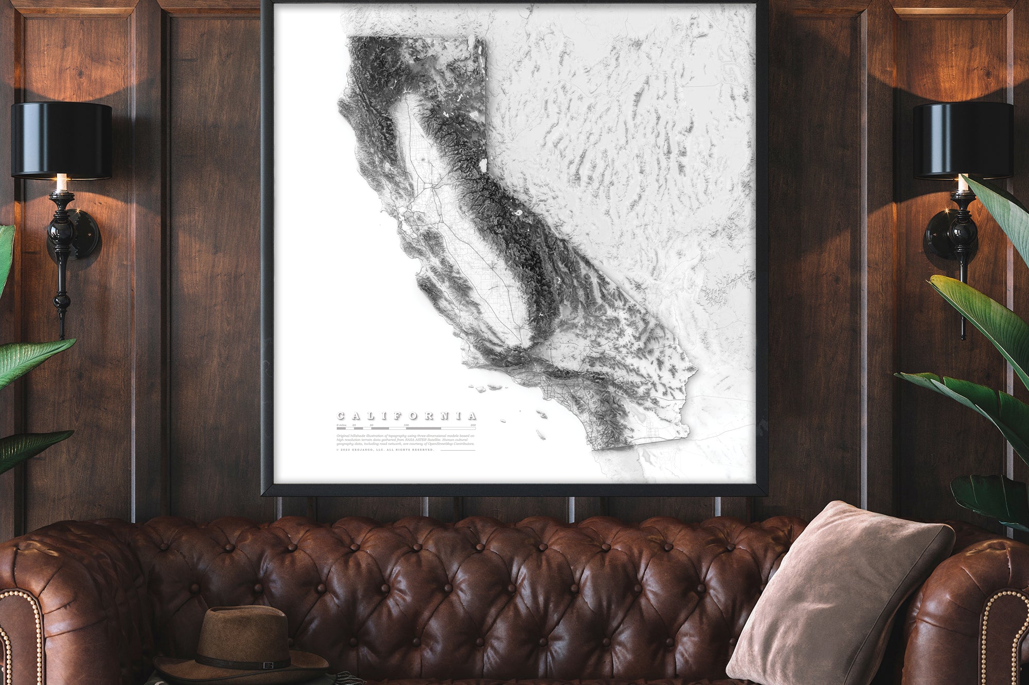
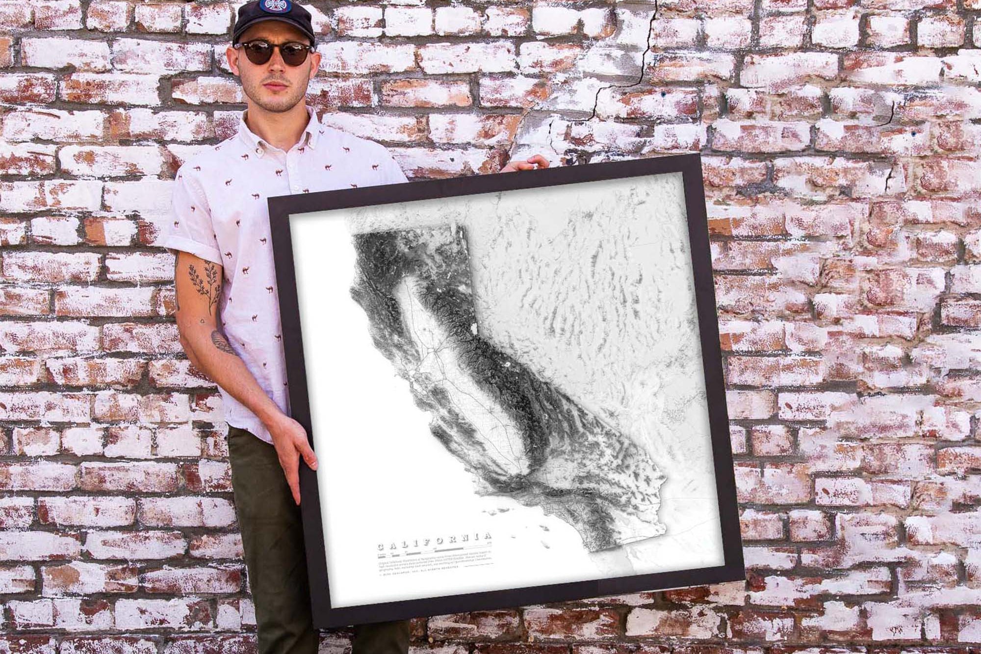
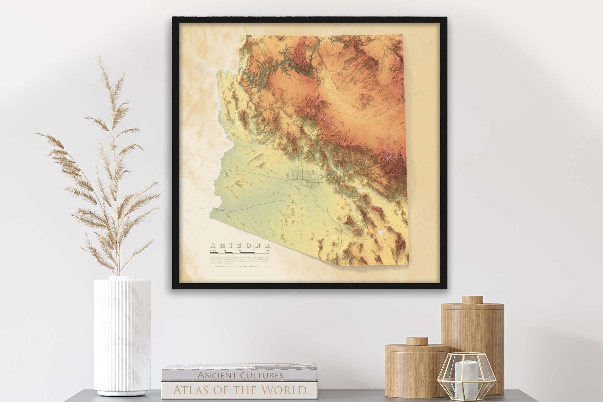
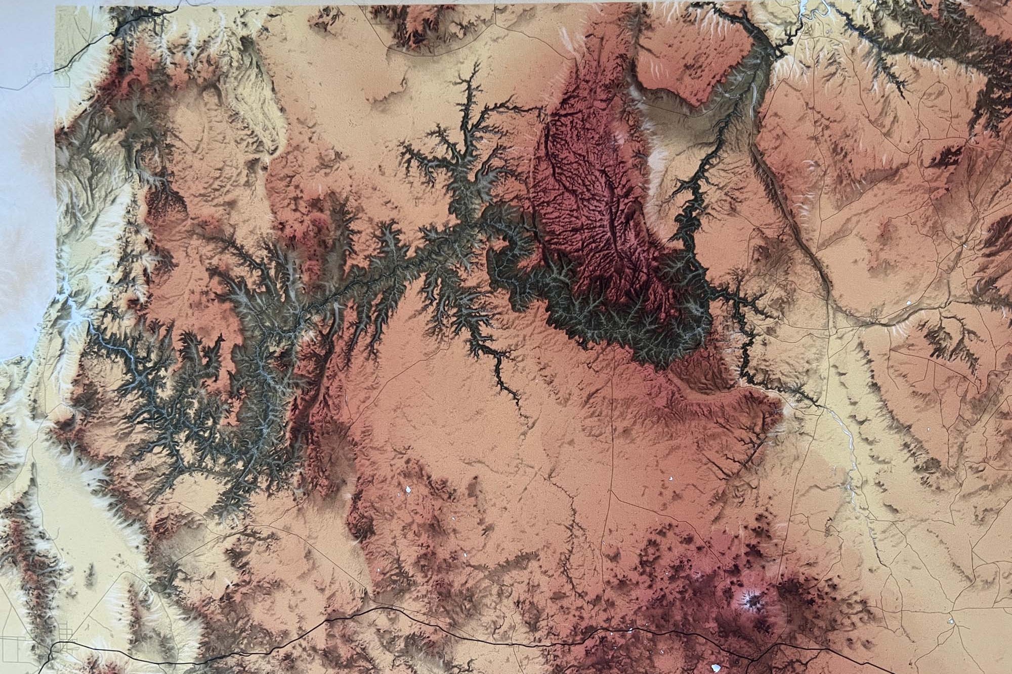
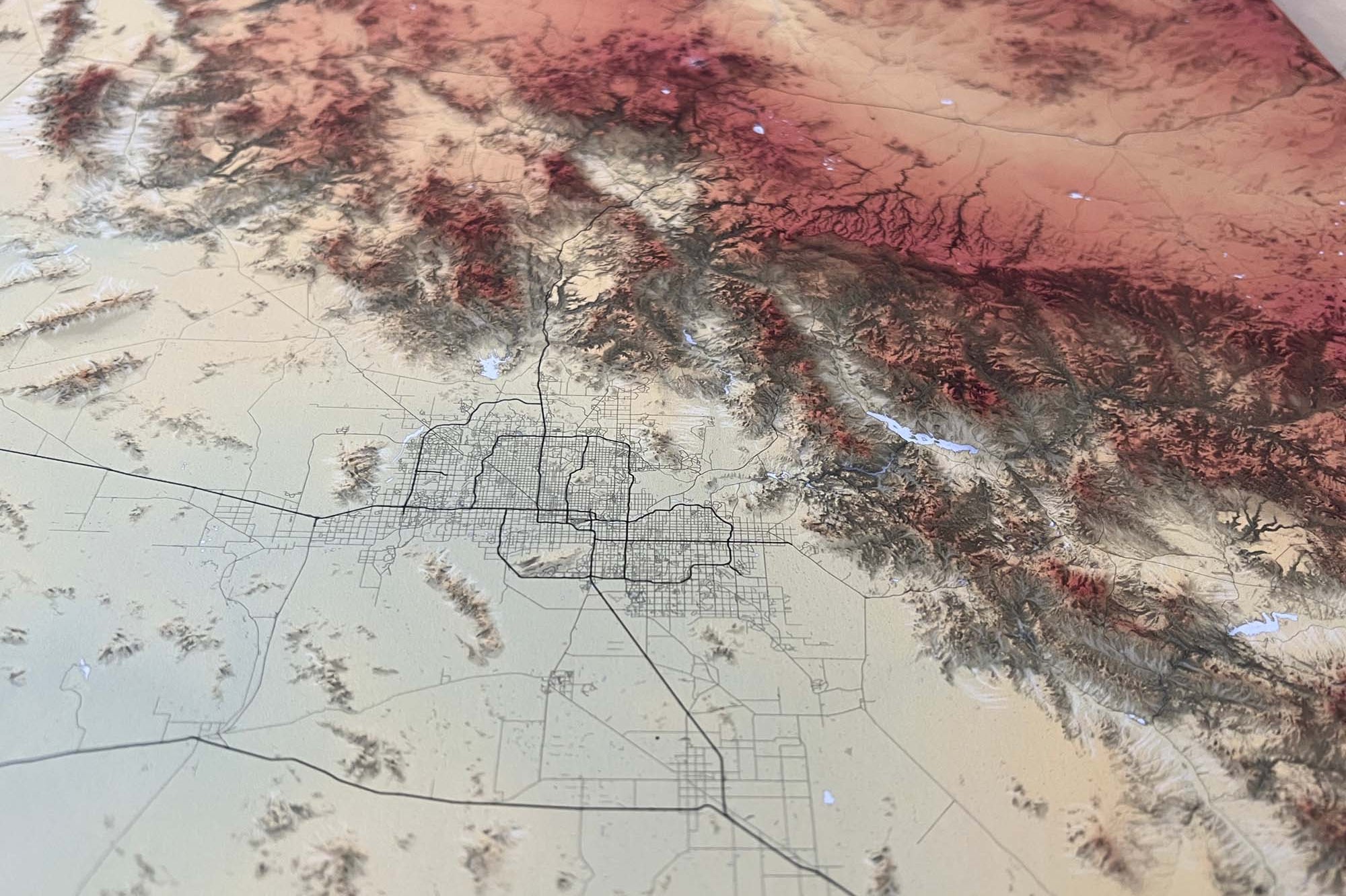
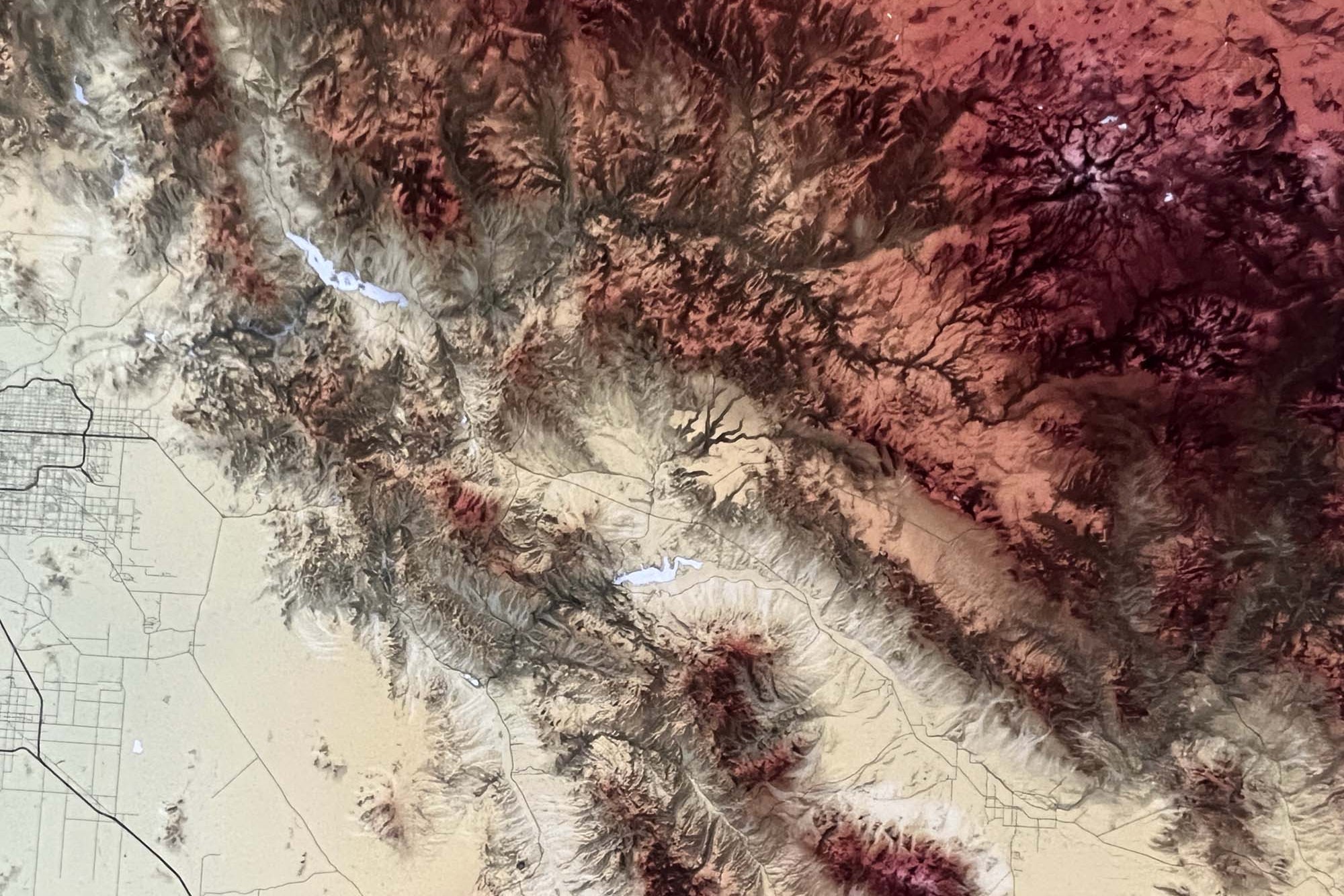
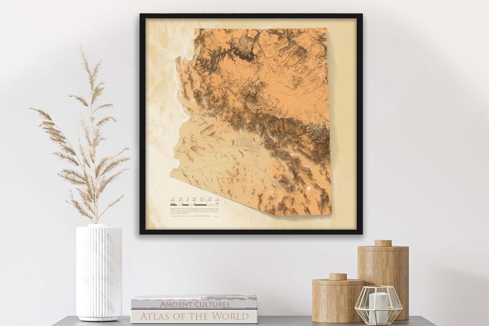
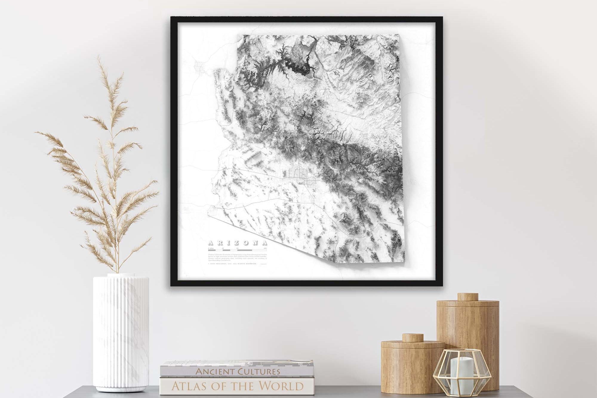
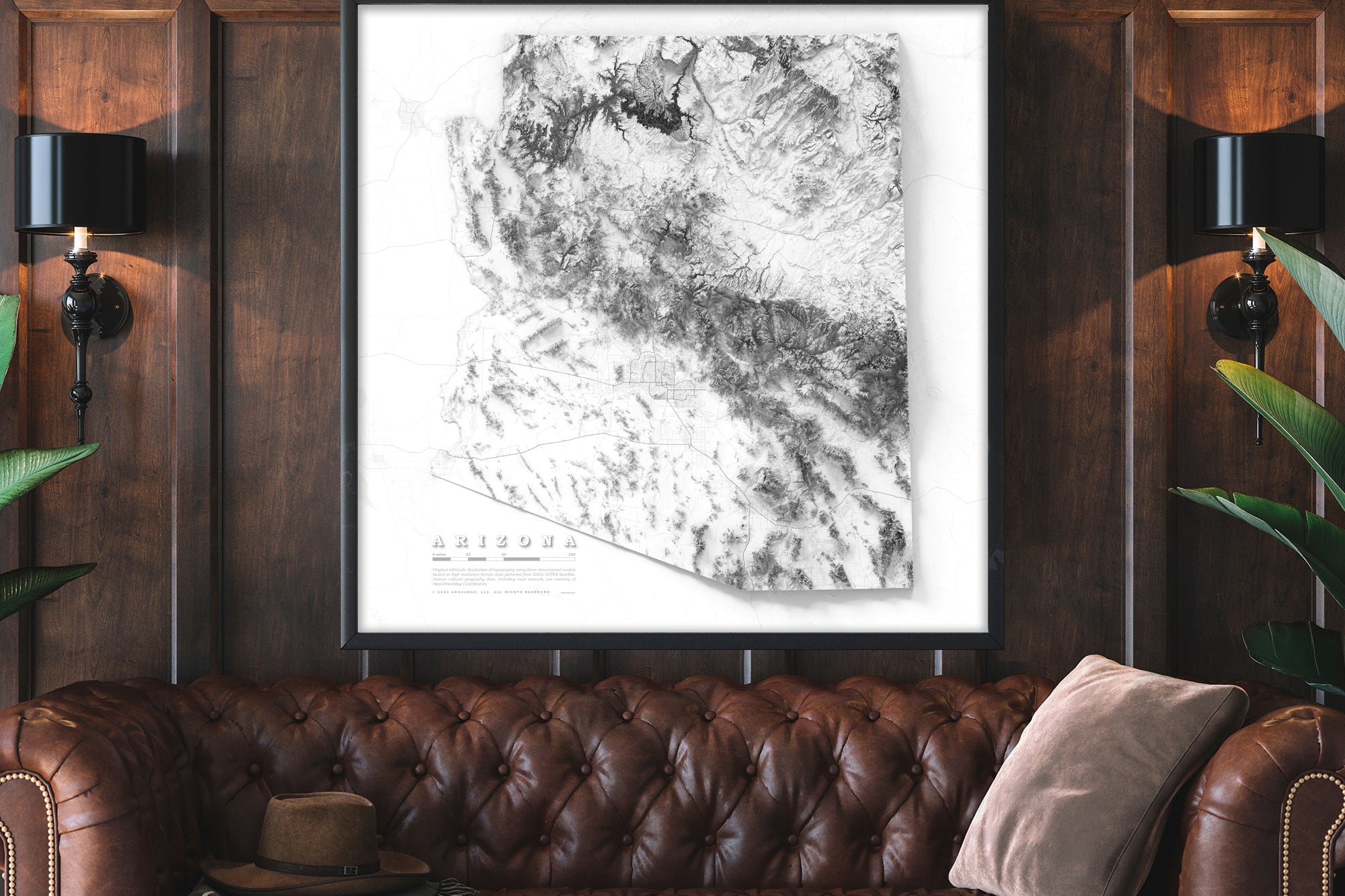
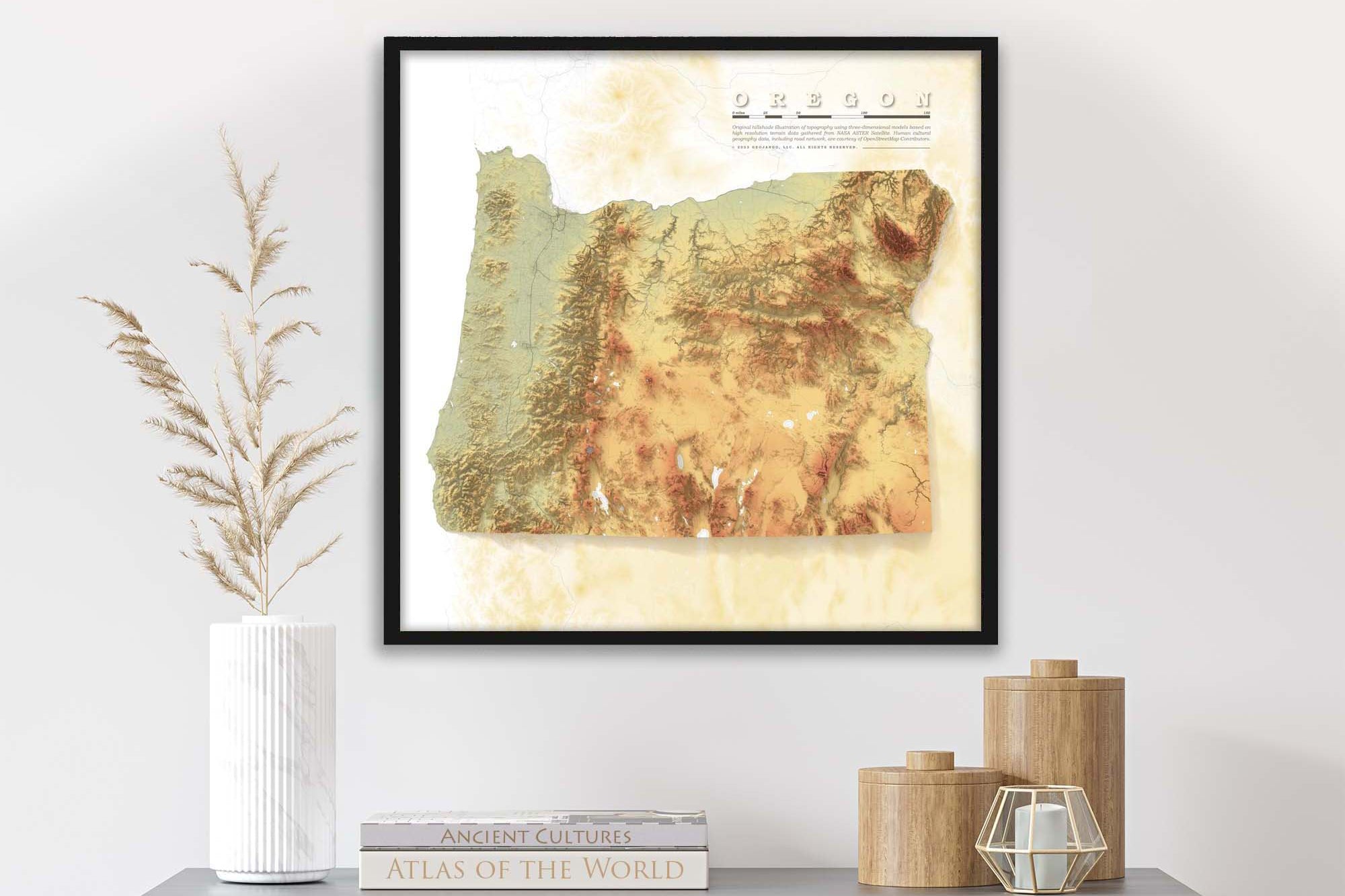
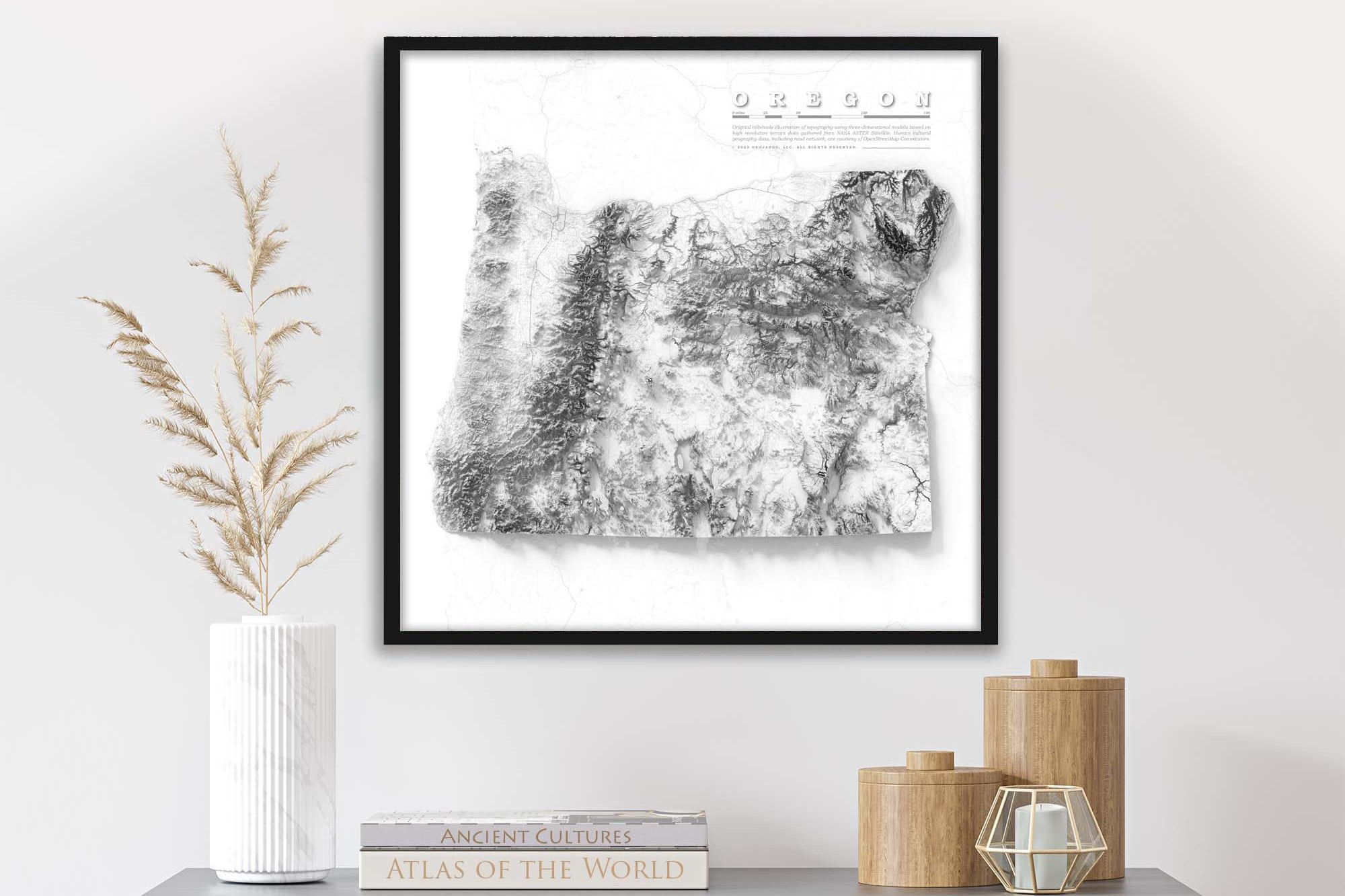
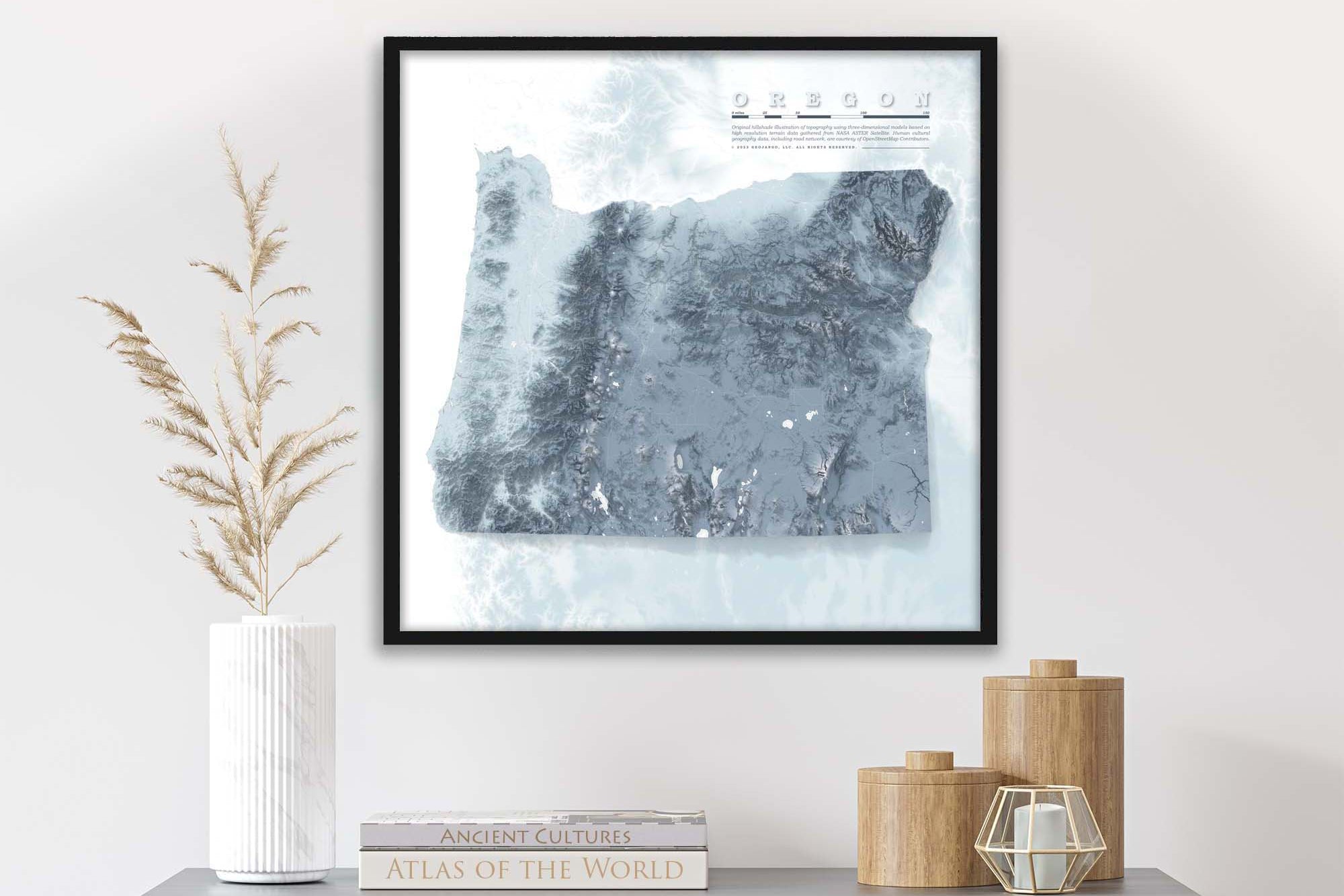
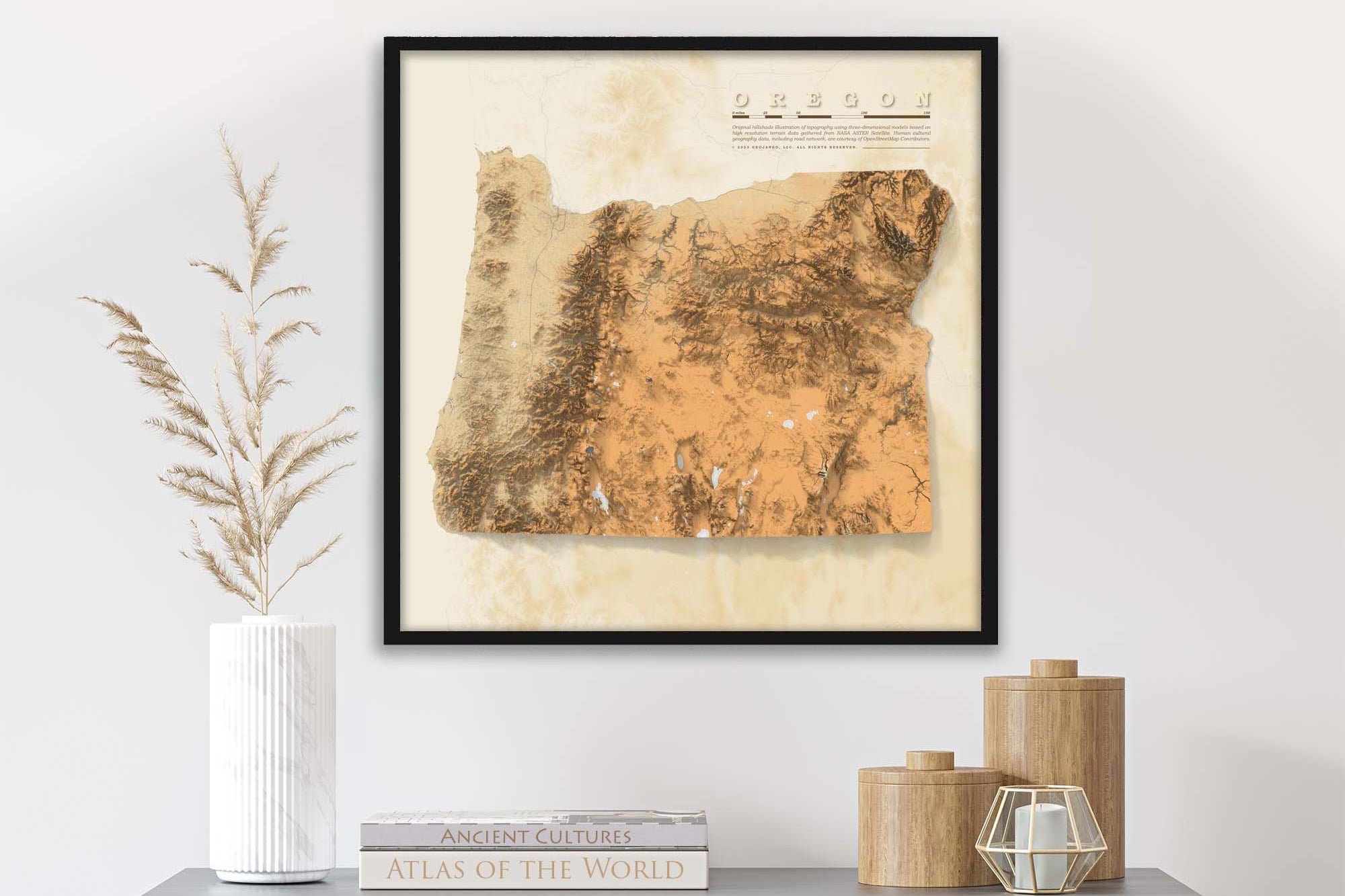
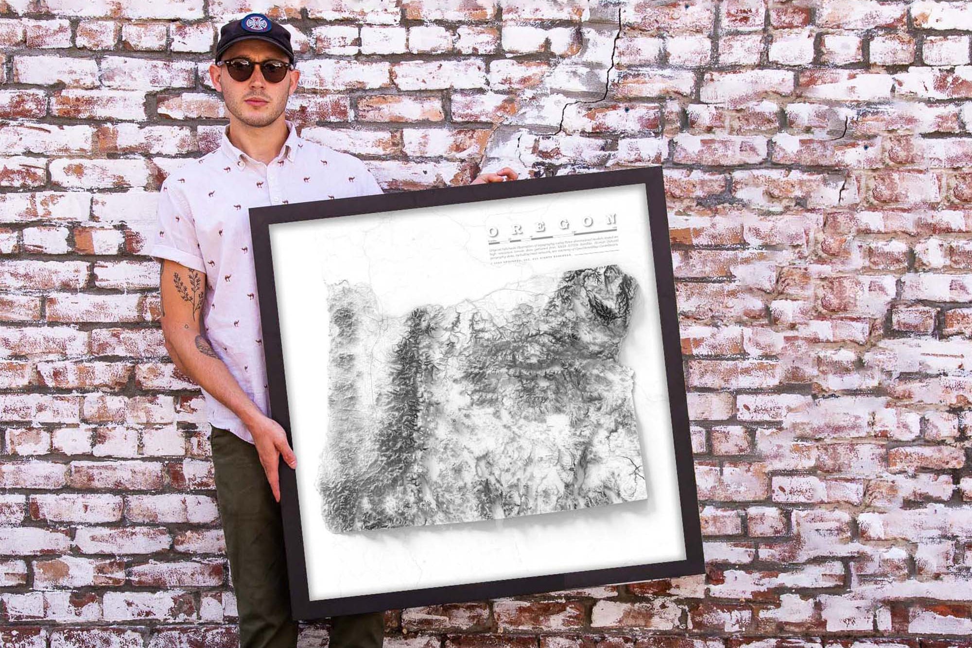
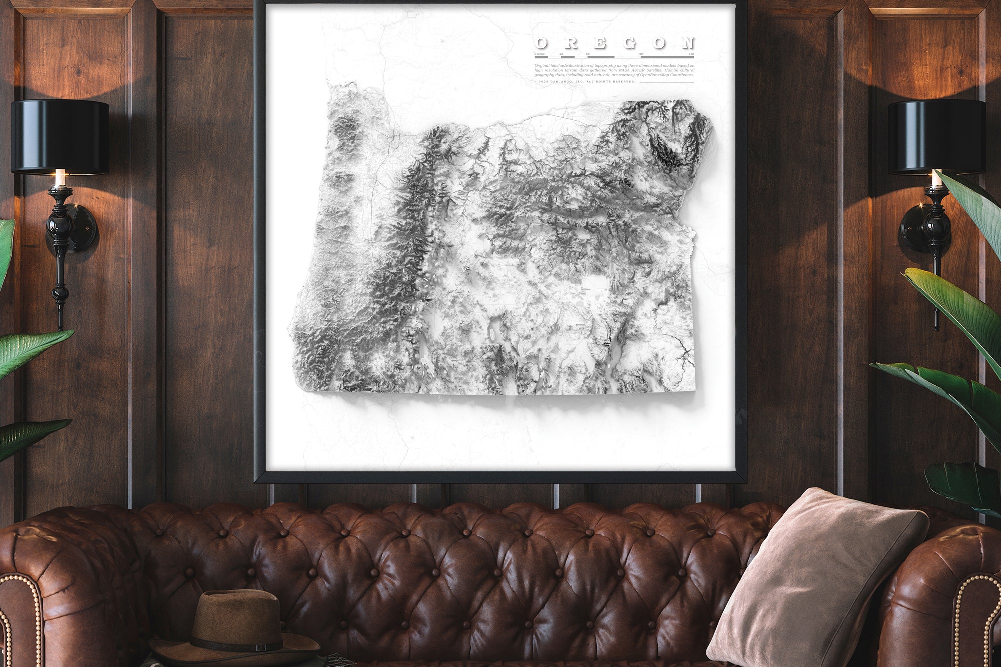
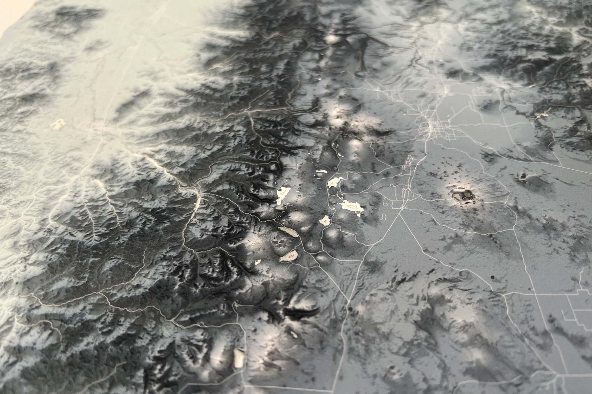
About the Map: This Oregon map uses detailed terrain and landscape modeling design. The detailed information throughout this map is the result of years of geographic research and created by a professional Cartographer/Geographer.
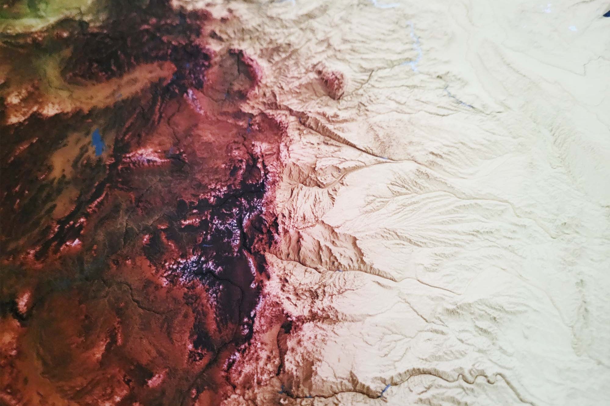
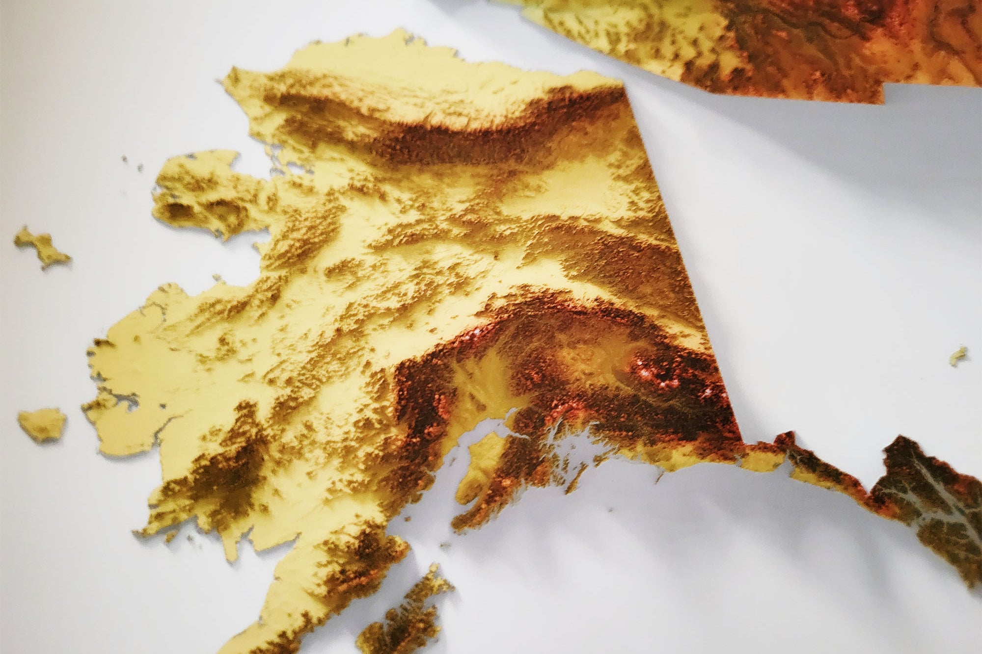
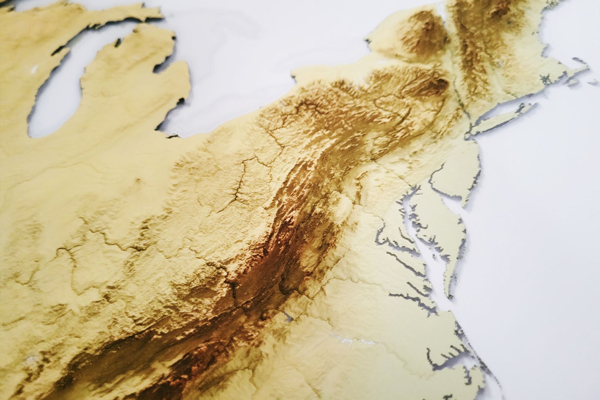
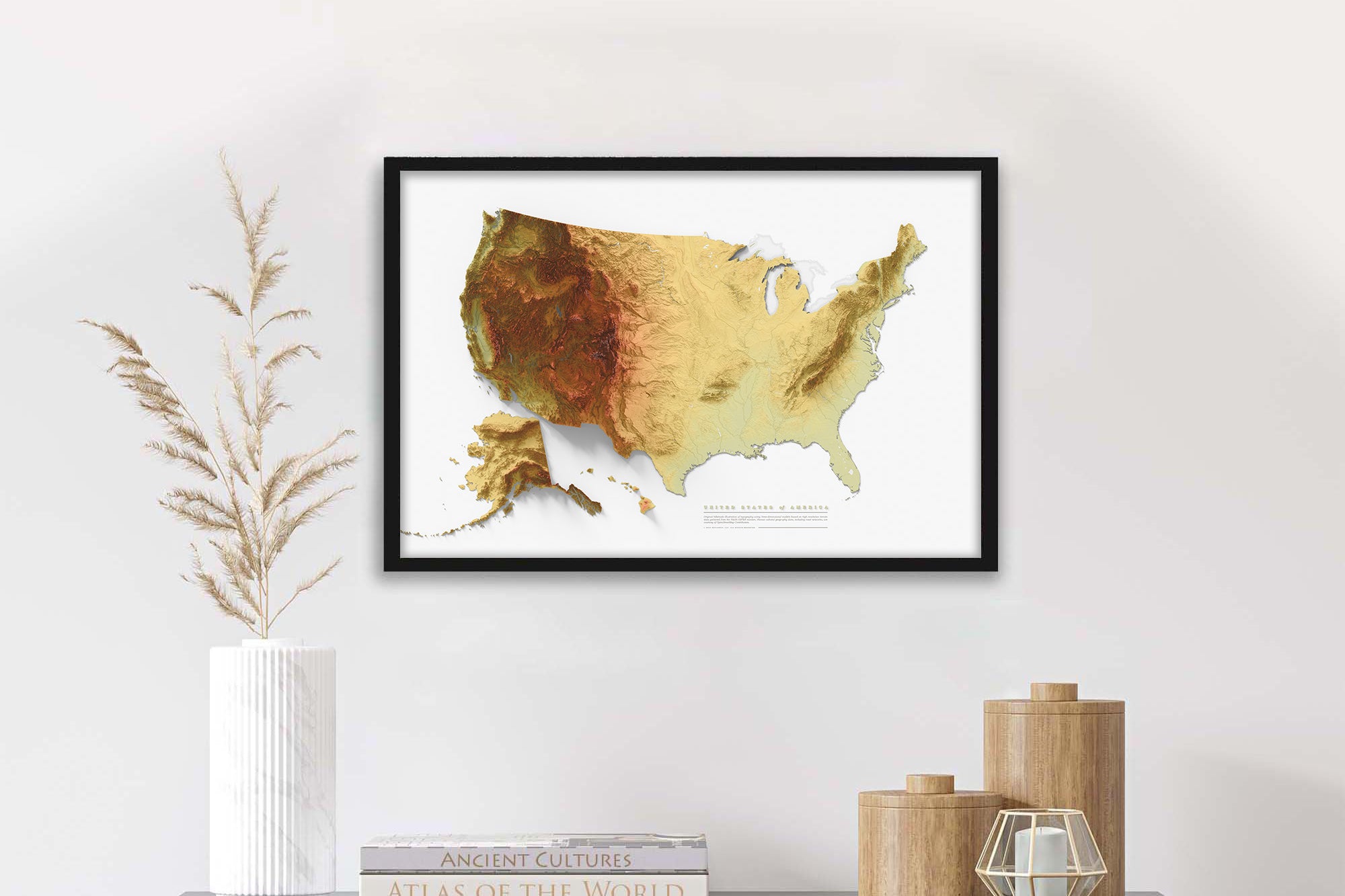
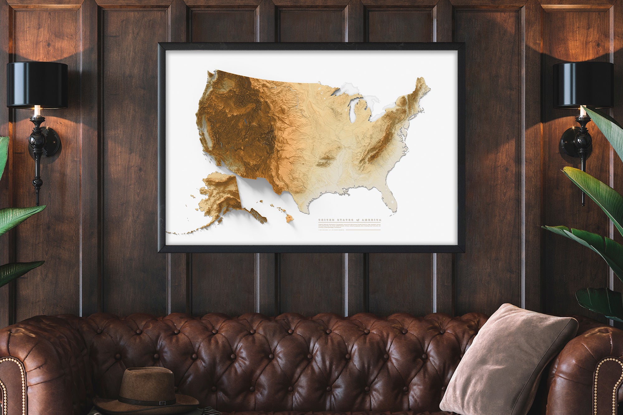
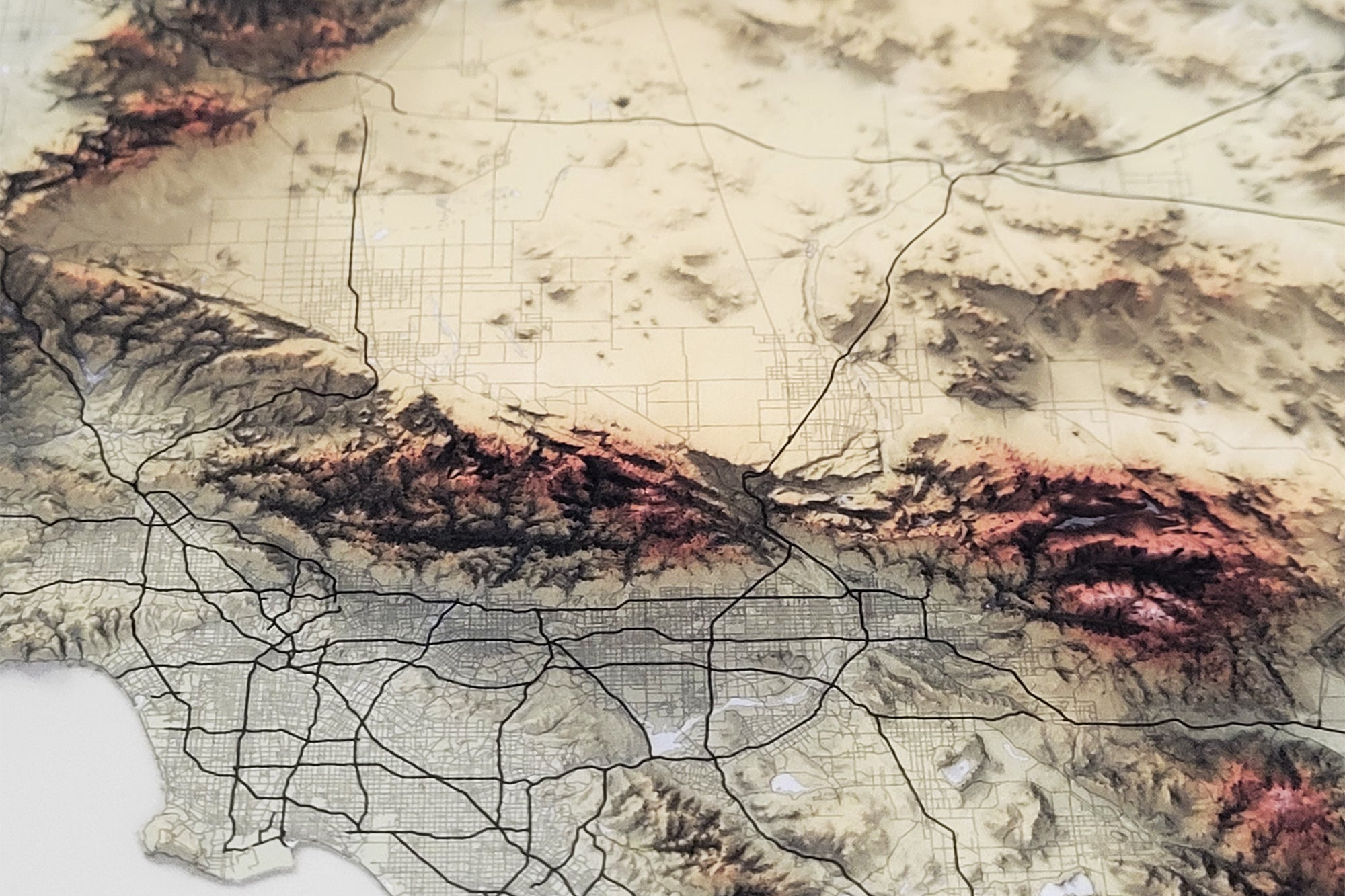
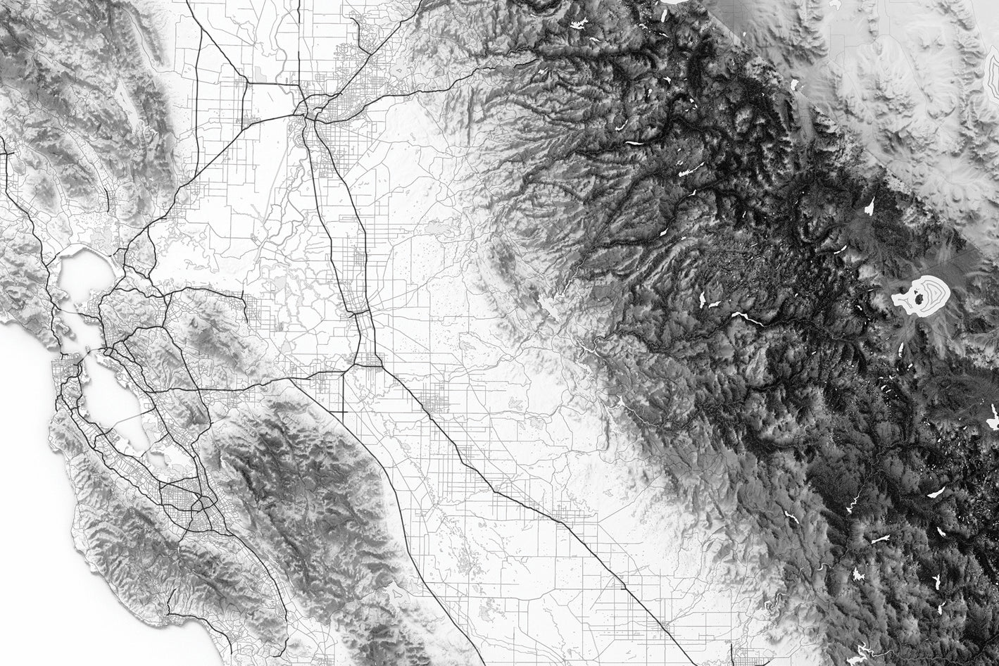
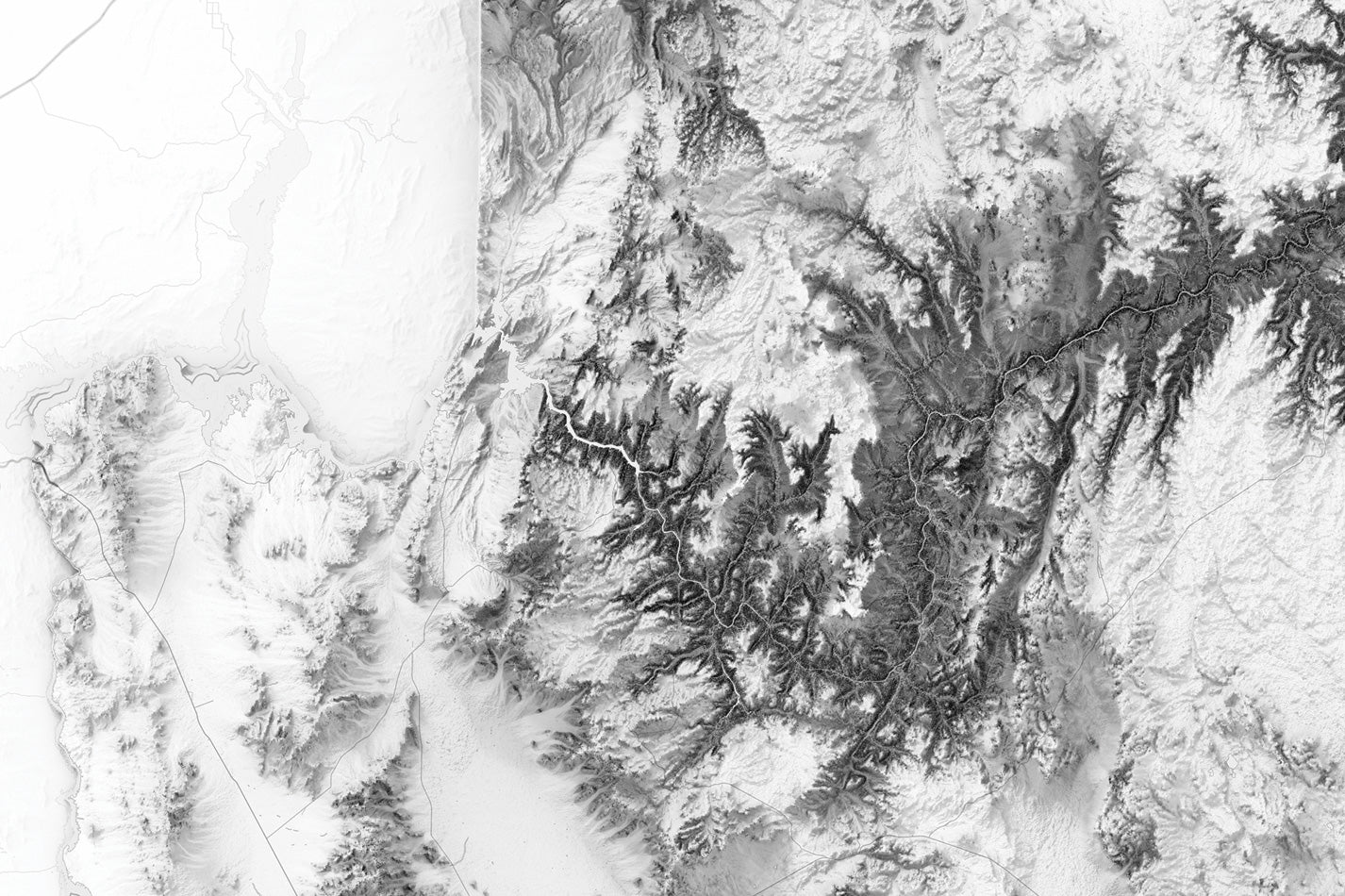
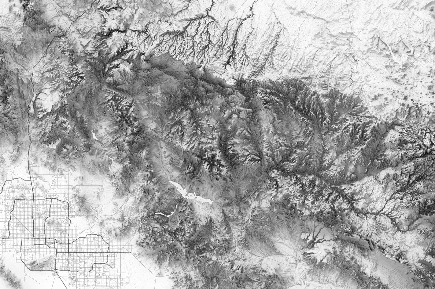
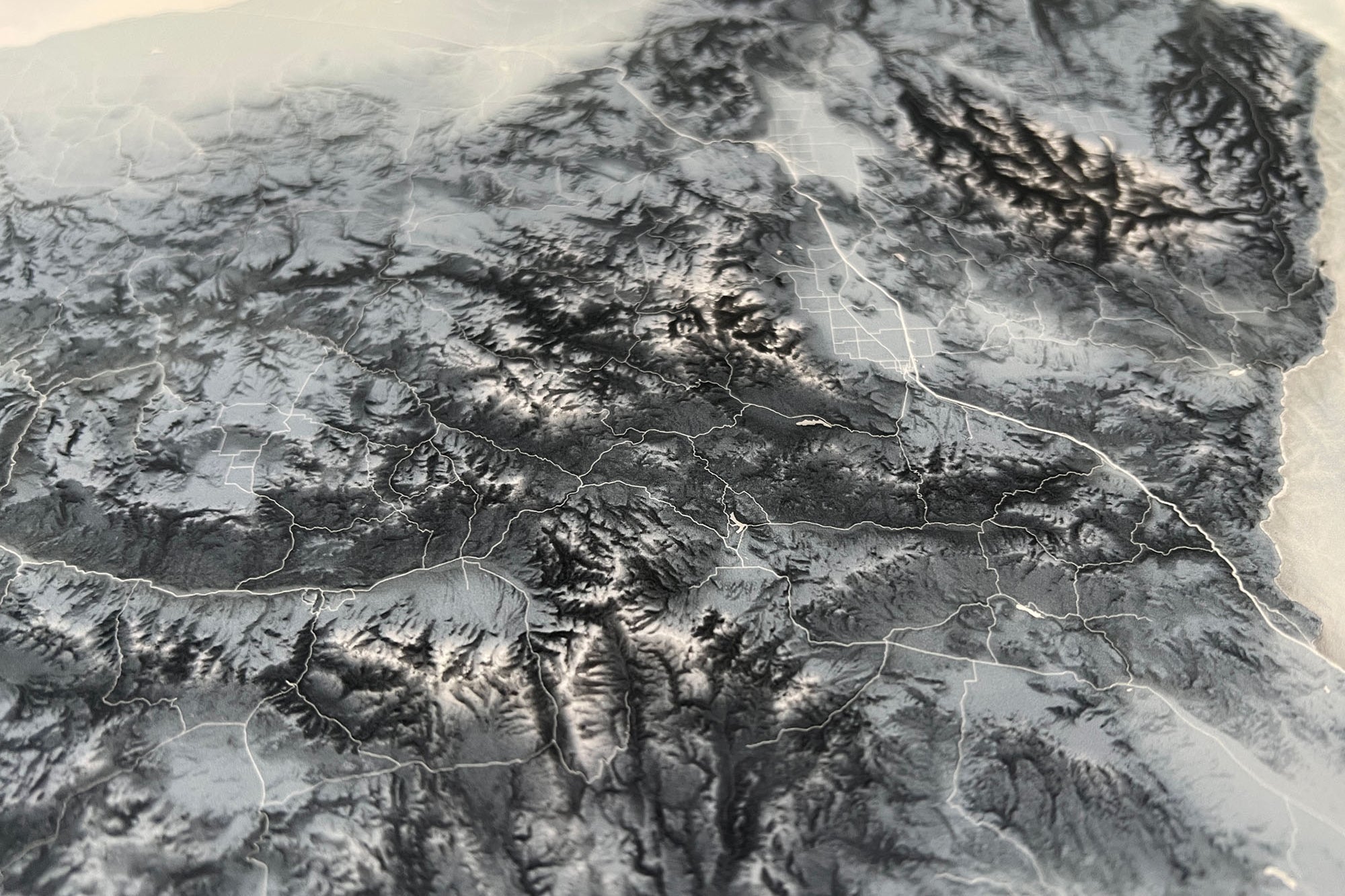
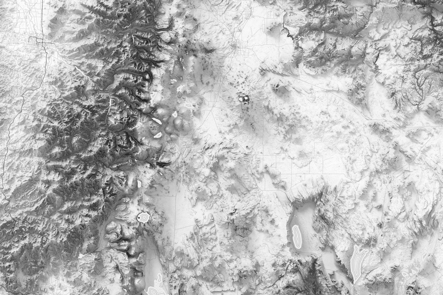
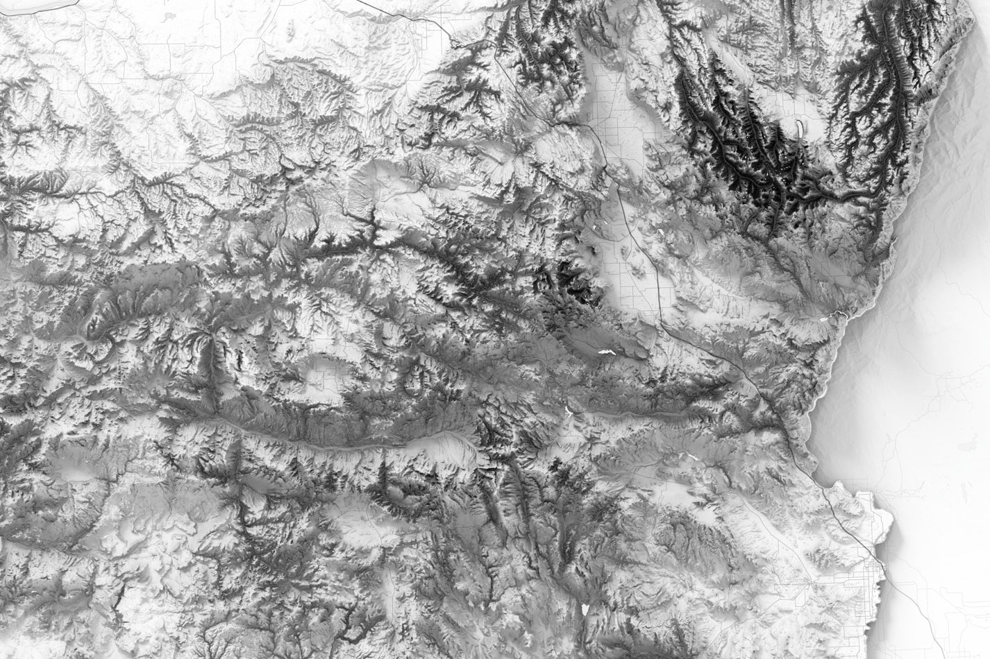
The Oregon Elevation Map is crafted using the latest GIS data and technology, providing a comprehensive and precise representation of the state's varied terrain. From the rugged peaks of the Cascade Range to the high desert plateaus of Eastern Oregon, this map displays the full breadth of Oregon's diverse landscape.
Overall, the Oregon Elevation Map is the perfect gift for anyone who loves the great outdoors, cartography, or geography. It's great for planning your next adventure or simply admiring the natural beauty of this incredible state.
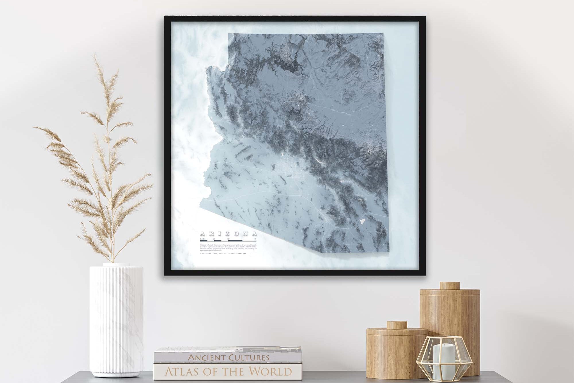
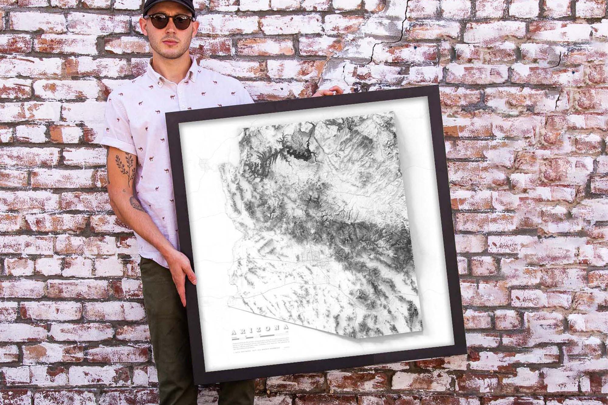
Product Format: This a flat map with rich terrain depth to visualize the landscape. Although it looks 3-Dimensional it is produced as a flat map.
Beautiful & Informative Map Wall Art: Group your favorite states together to create a beautiful display in your office or home.
Frame Selection: Black Frame