Elevation Map of North Carolina Topo Wall Art

$69.00

Elevation Map of North Carolina Topo Wall Art

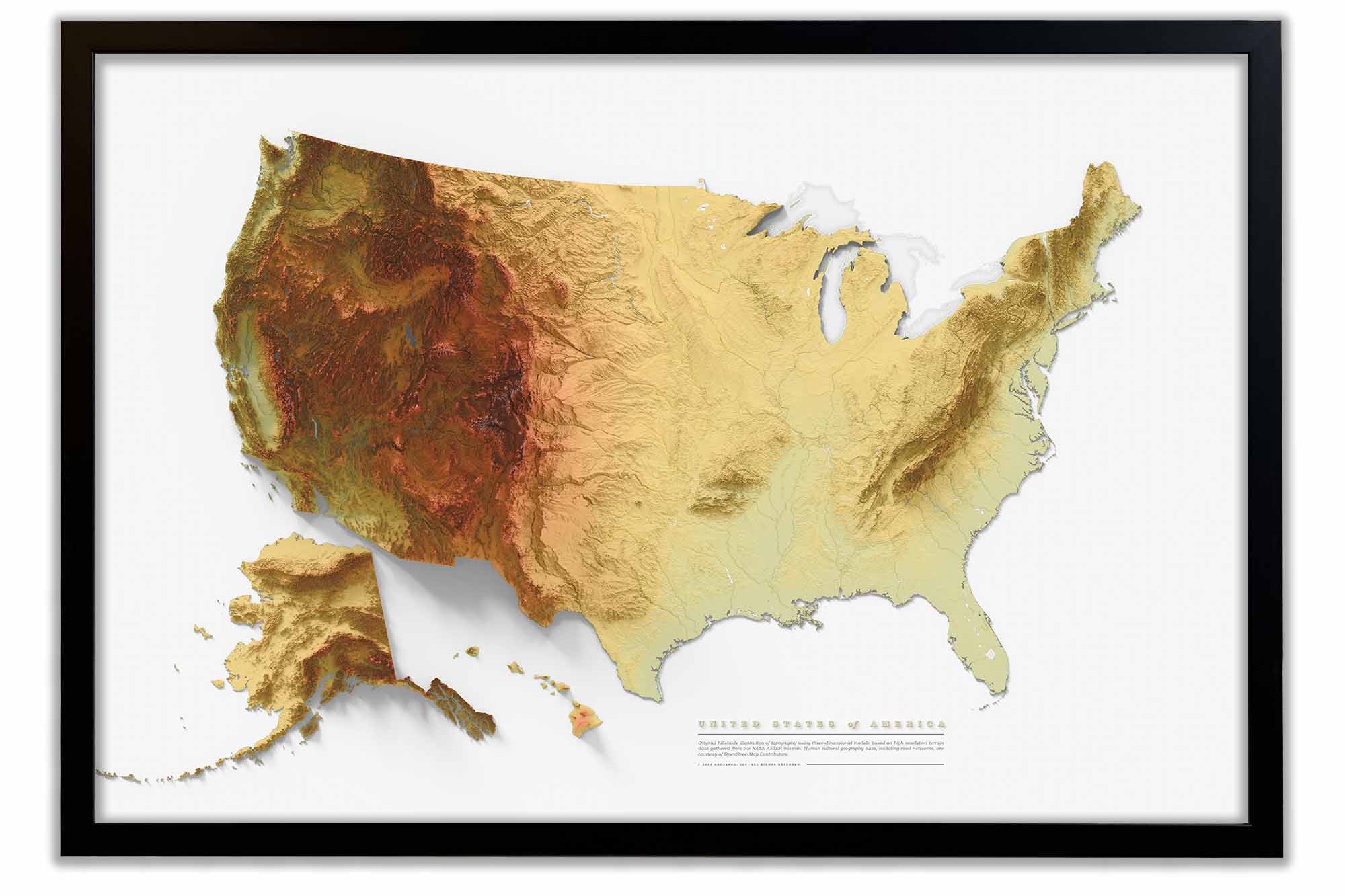
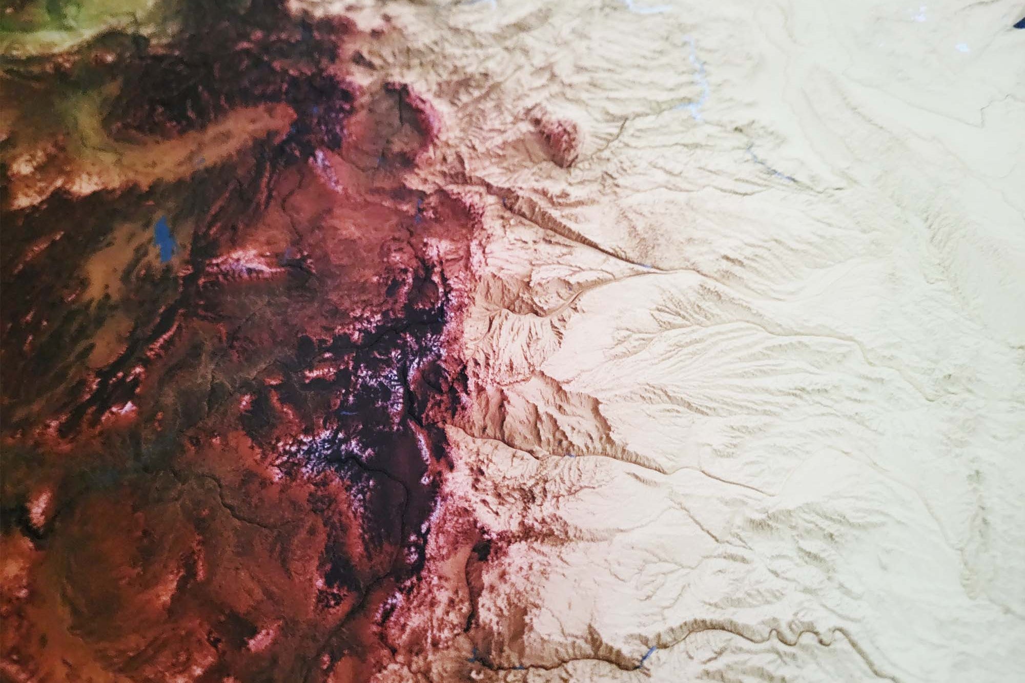
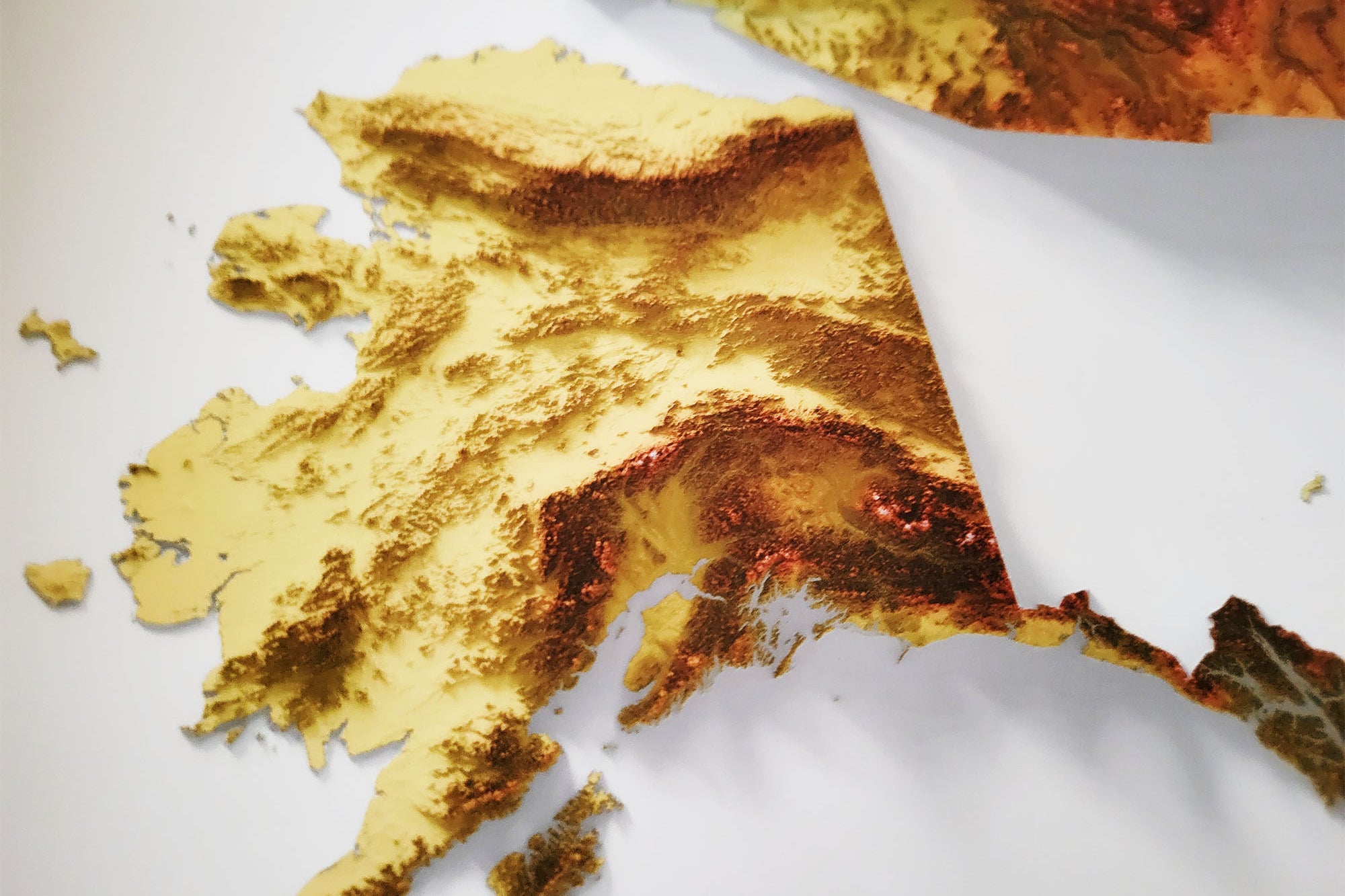
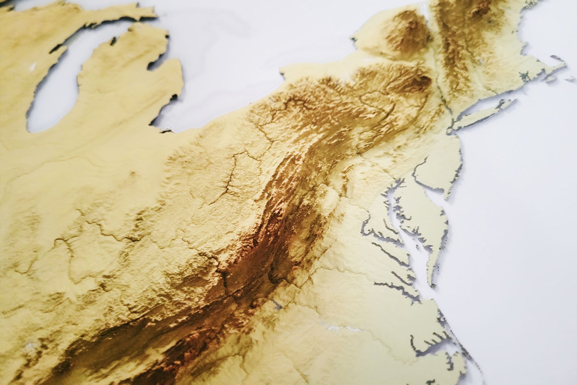
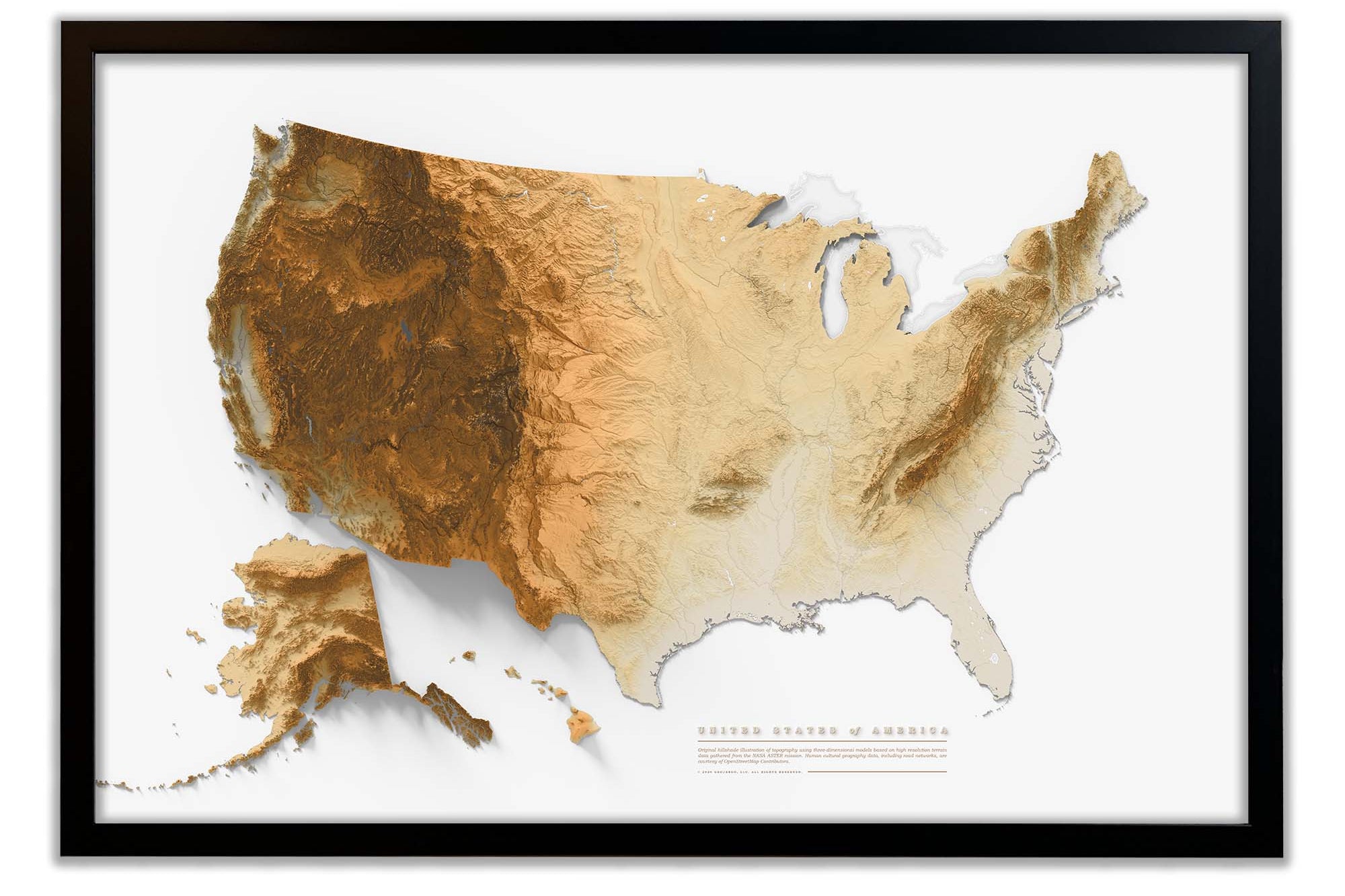
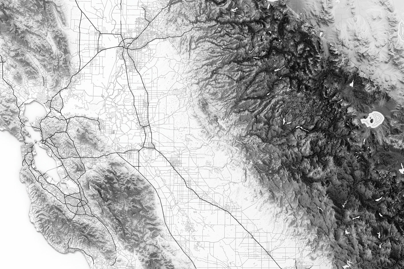
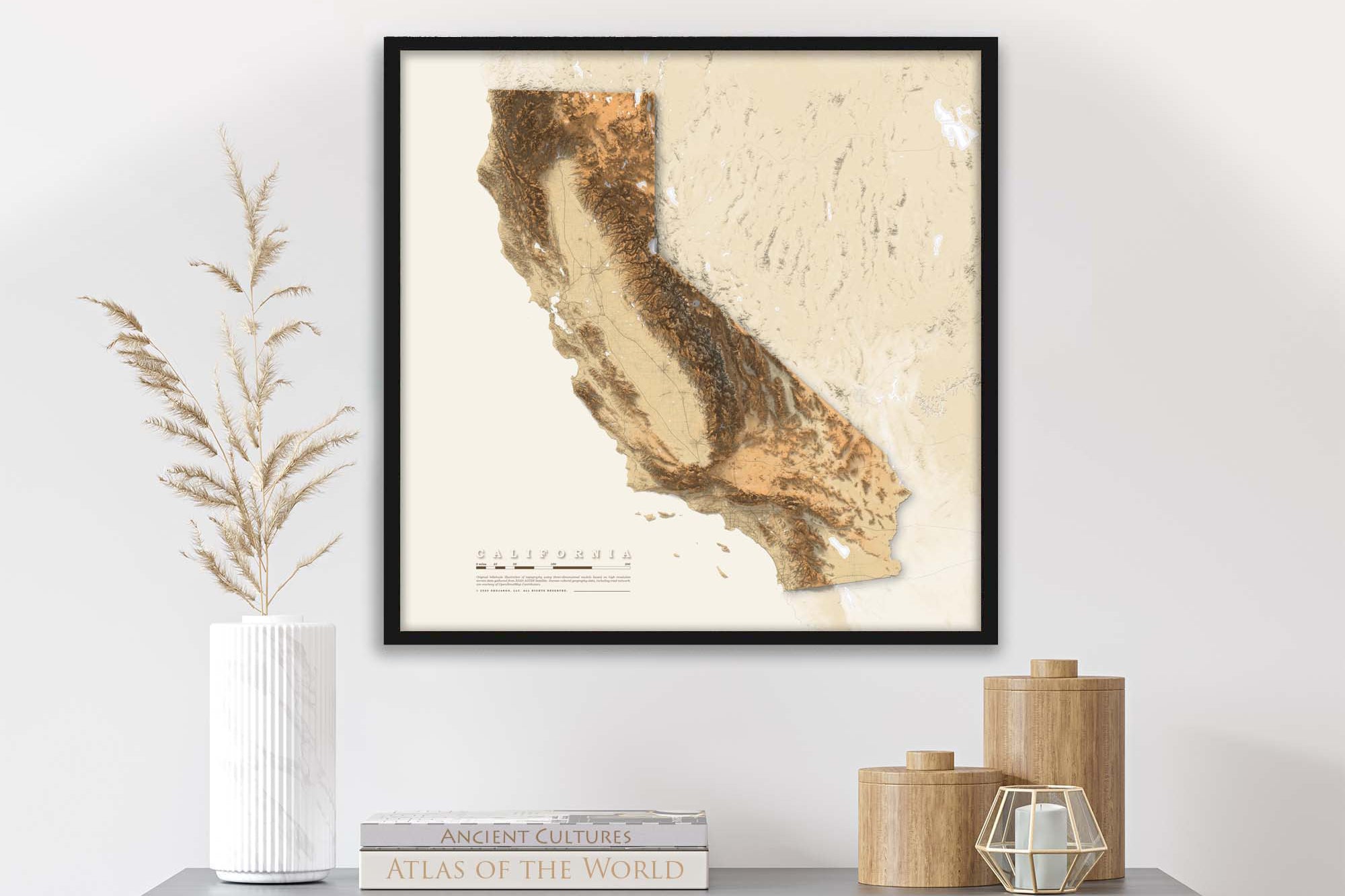
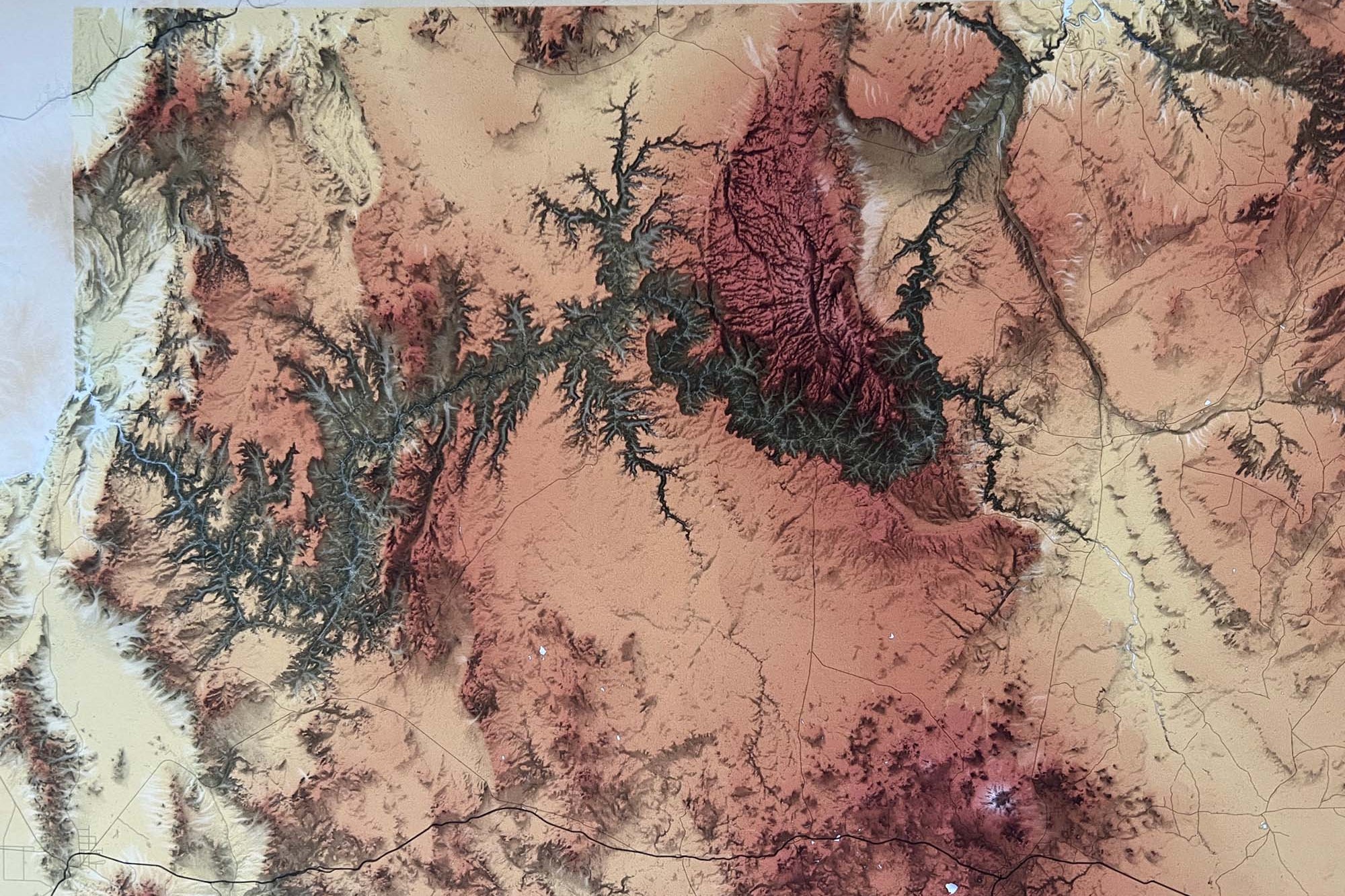
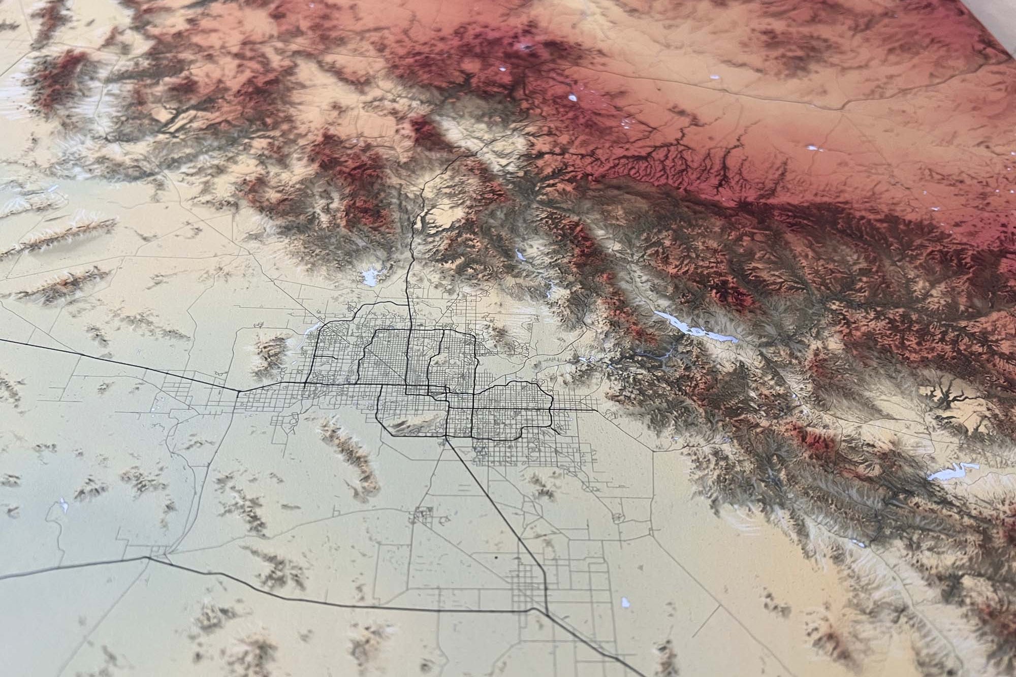
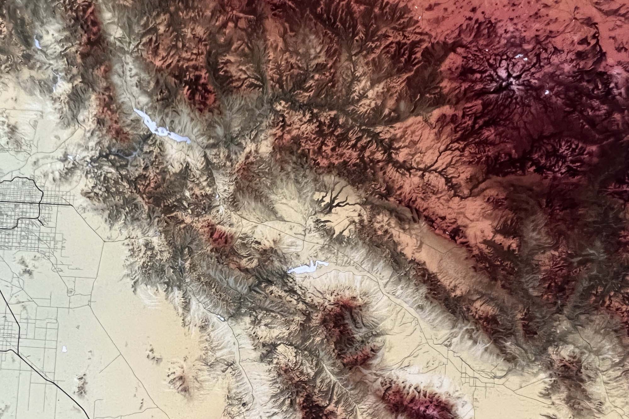
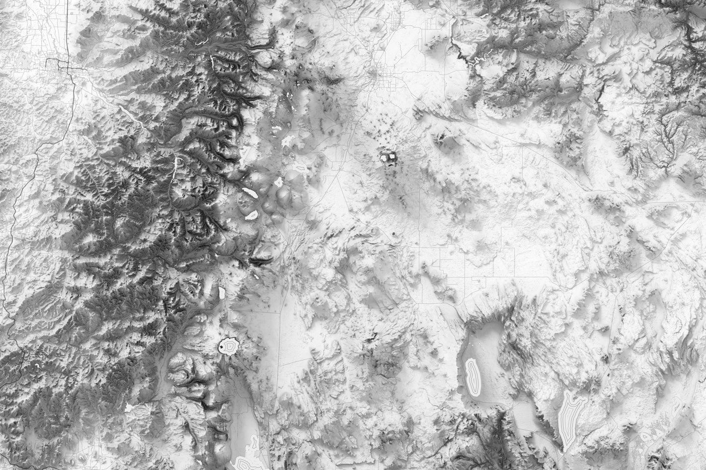
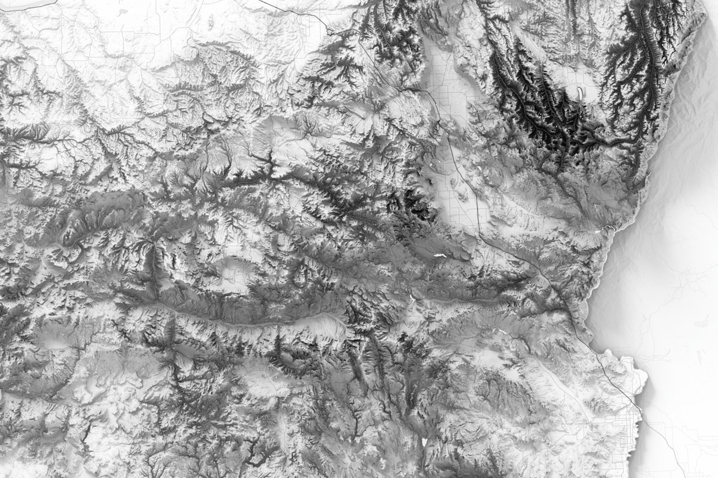
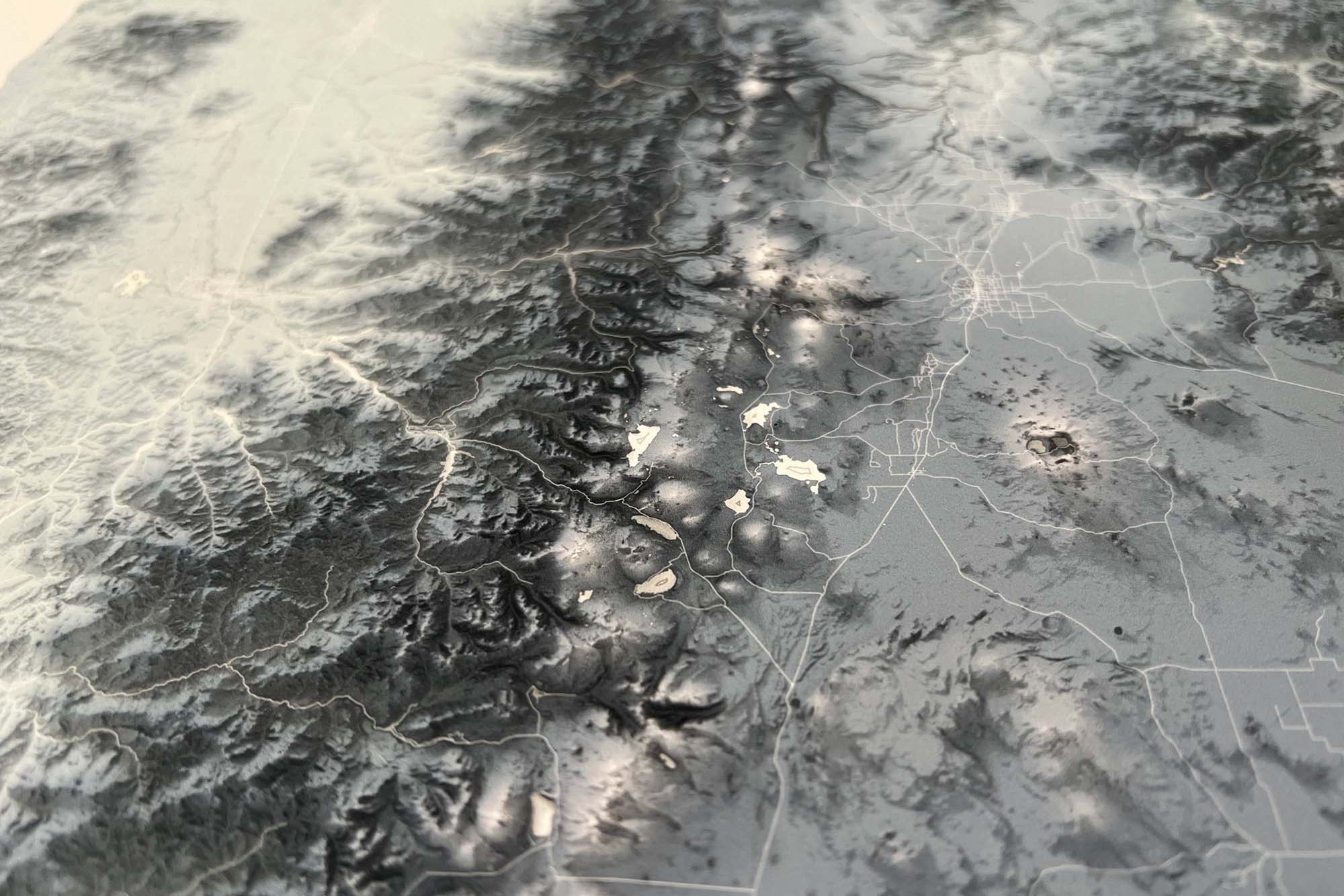
This comprehensive elevation map of North Carolina is your ultimate guide to uncovering the diverse and awe-inspiring landscapes of the Tar Heel State! This meticulously crafted map showcases intricate topographic details, accurately representing the varying elevations throughout North Carolina. From the majestic peaks of the Blue Ridge Mountains to the pristine coastal plains and everything in between, this map provides a comprehensive overview of North Carolina's remarkable terrain.

Whether you're a resident of North Carolina looking to deepen your connection with the state or a visitor eager to experience its natural splendors, this elevation map is an indispensable companion. Embark on unforgettable journeys across North Carolina's scenic wonders and discover the hidden treasures that make this state so unique. Get your hands on this essential map today and let your adventures in North Carolina begin!

Product Format: This is a flat map with rich terrain depth to visualize the landscape. Although it looks 3-Dimensional it is produced as a flat map.

About the Map: This Georgia map uses detailed terrain and landscape modeling design. The detailed information throughout this map is the result of years of geographic research and was created by a professional Cartographer/Geographer.

Geographical Data:  Our Georgia wall art map was created using a combination of satellites and developed entirely using numbers, measurements, and GIS software.

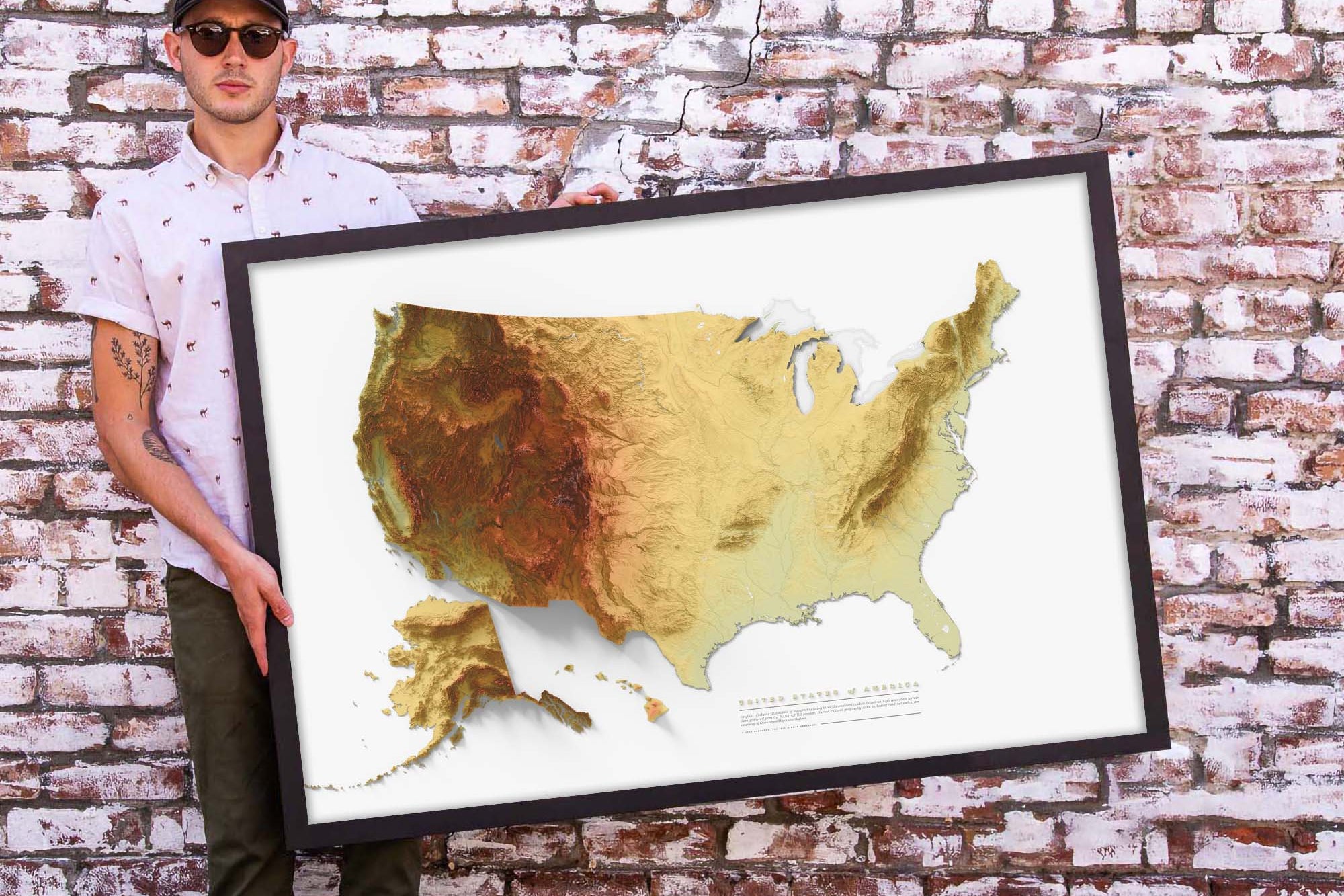
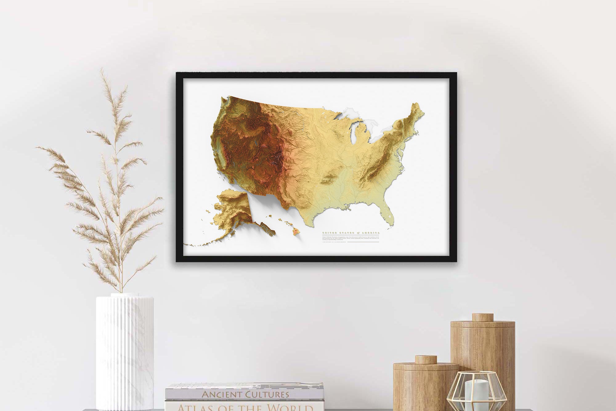
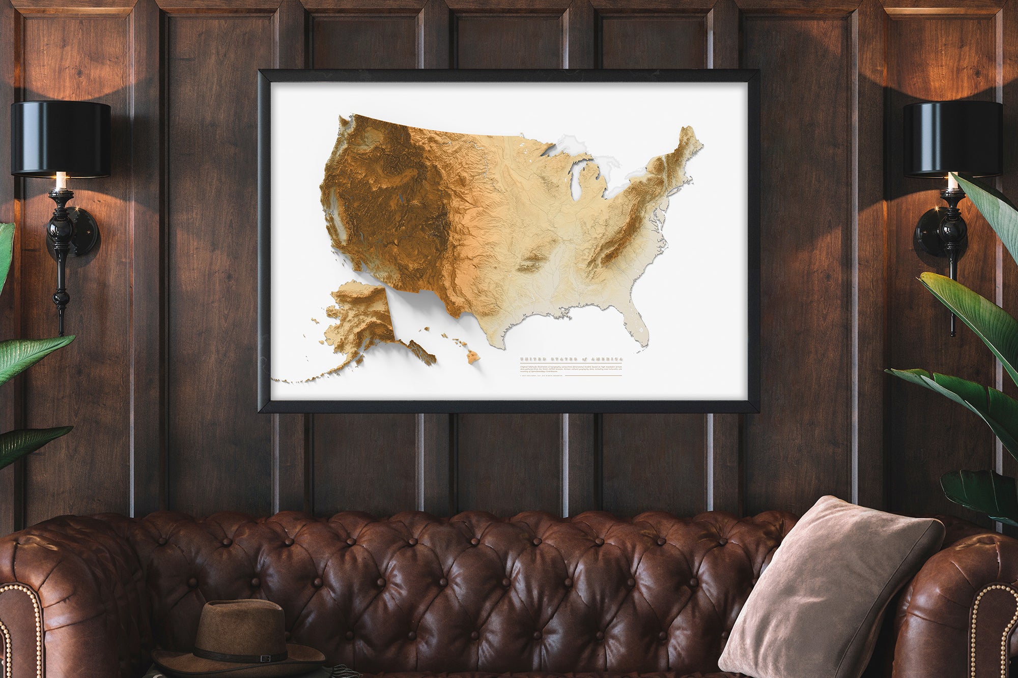
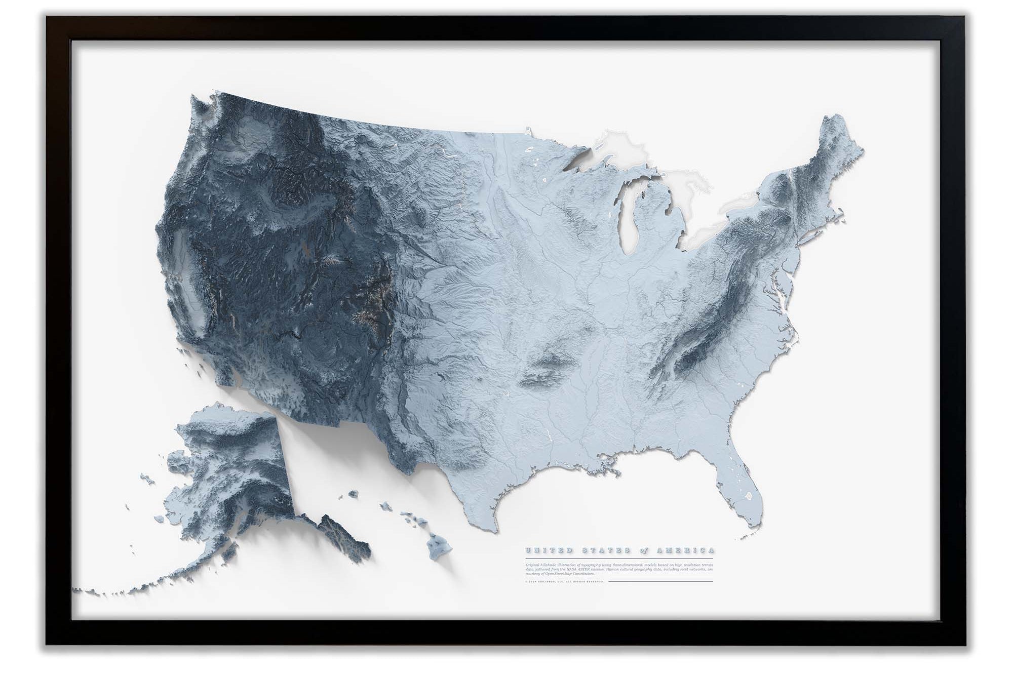
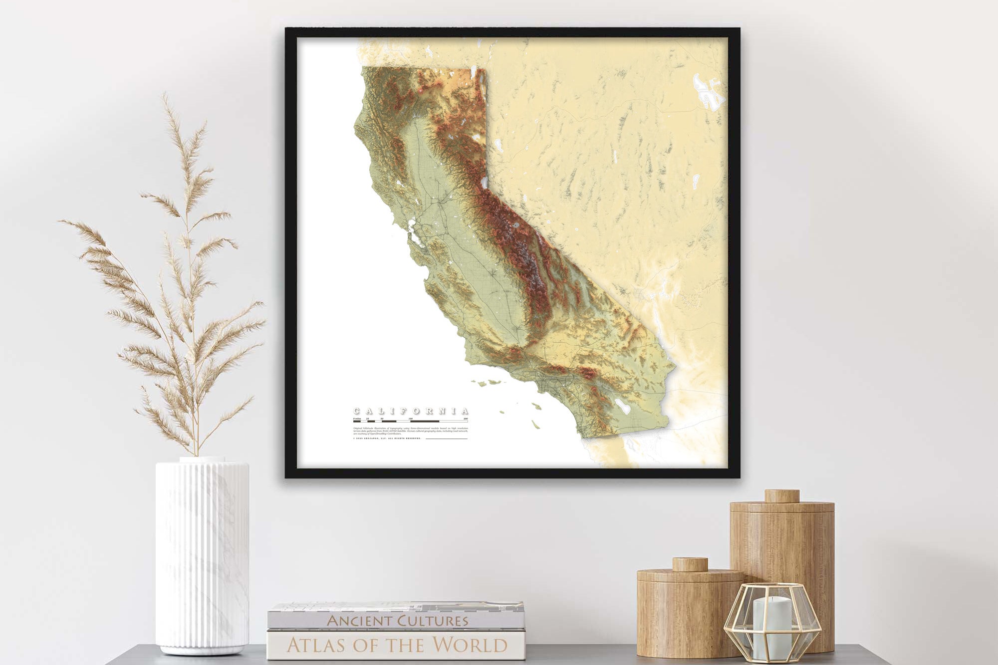
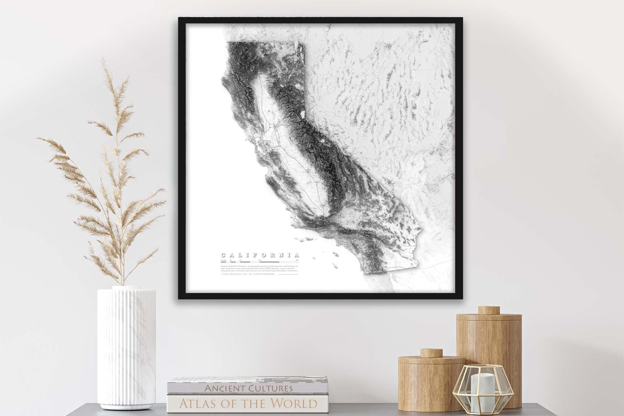
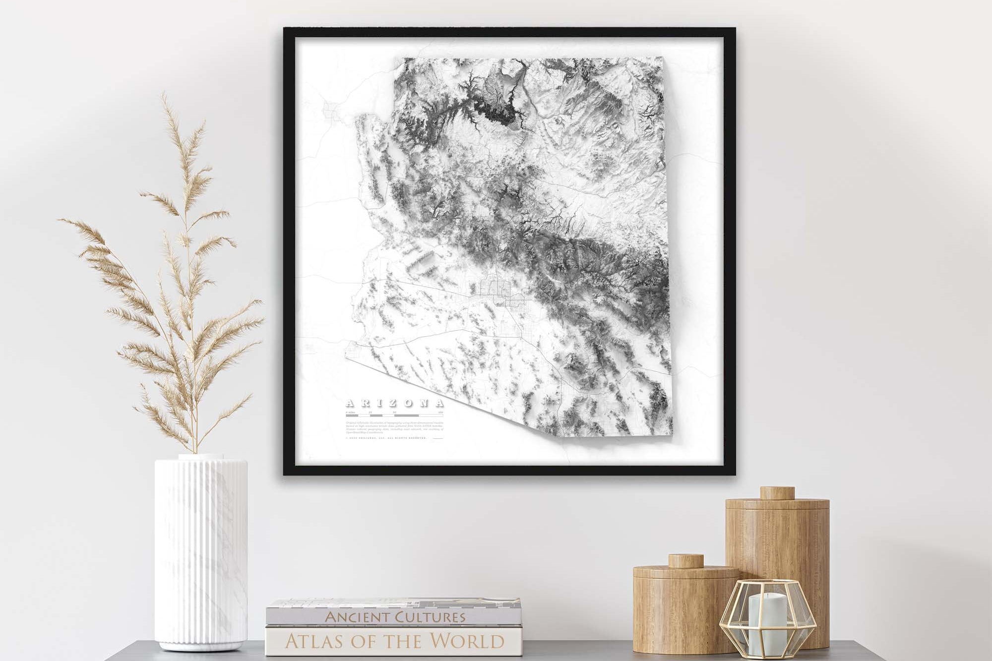
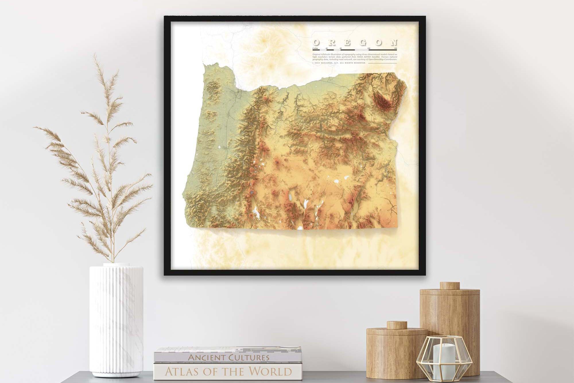
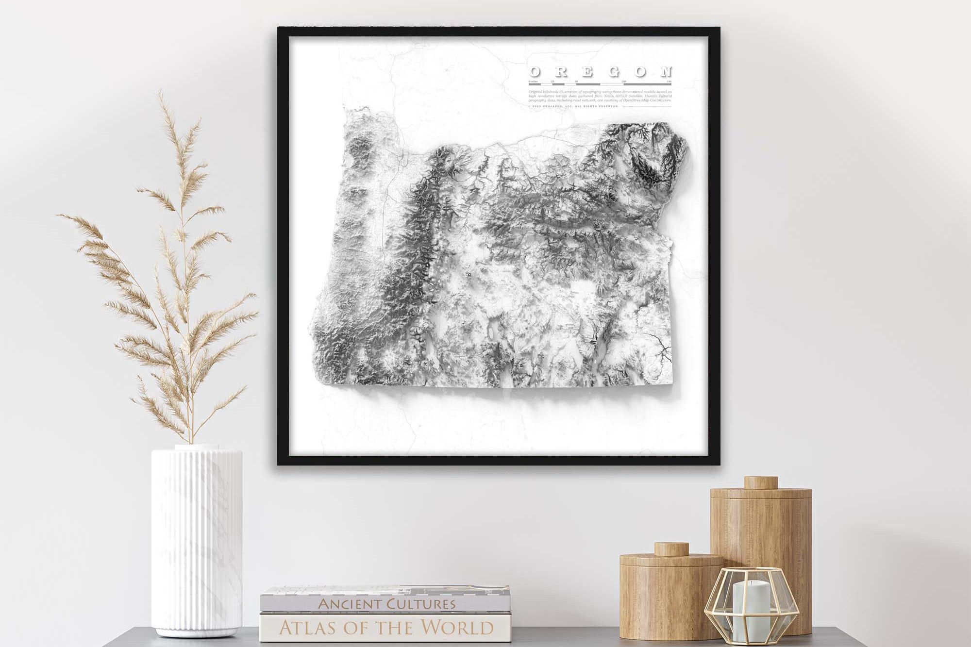
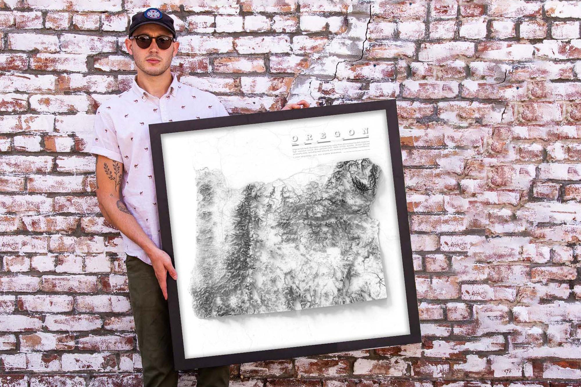
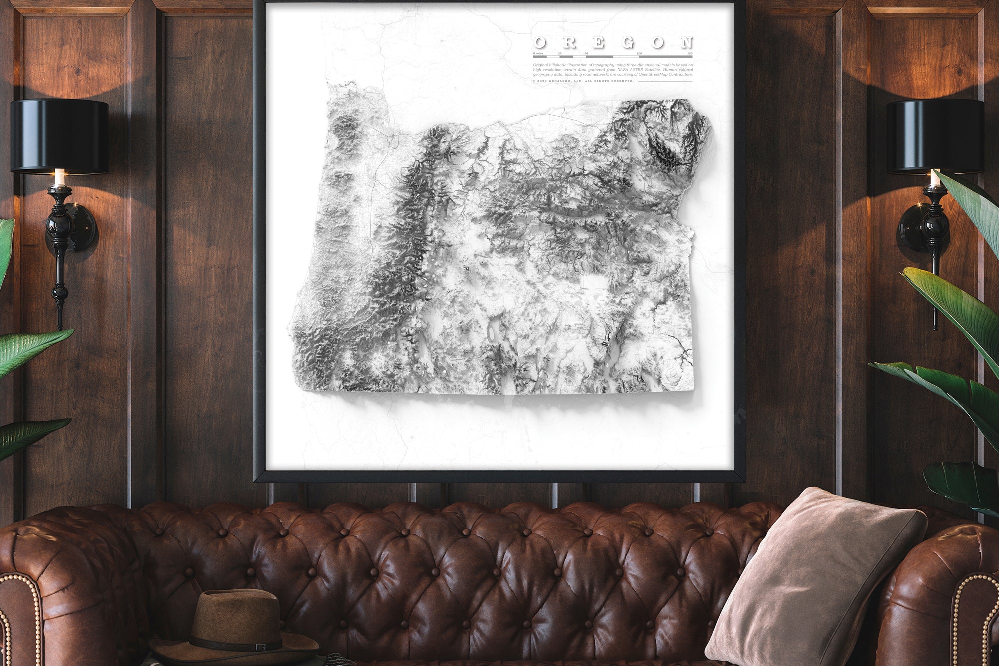
Beautiful & Informative Map Wall Art:   Group your favorite states together to create a beautiful display in your office or home.

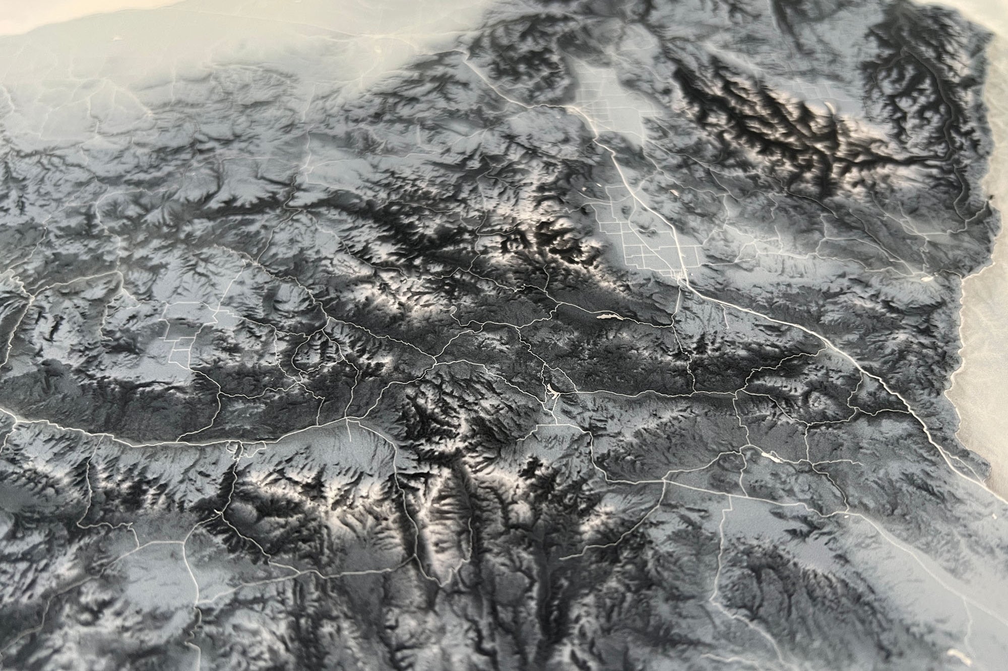
Learn More: Check out our blog on Shaded Relief Maps to learn more about the art and science that goes into creating these beautiful maps.

A Great Gift for: Travelers, Adventures, and Geography enthusiasts. An impressive wedding or anniversary gift for Arizona travel lovers. The content is recommended for adults and youth who would like to learn more about Arizona.

Environmental Wall Art:   Group your favorite states together to create a beautiful display in your lobby, office, or home.


Production and Shipping Times: The amount of time it takes for your map to arrive depends on where you live and how fast you approve the proof if you’ve ordered a custom map. See Production & Shipping.

Quality and Guarantee: We stand behind our work and guarantee the construction and quality. Contact us if you have any problems with your map and we will coordinate to ensure you are happy with your purchase.

Map Size vs. Outside Dimensions: Our sizing choices specify the size of the map itself. Our frame options will increase the overall size of your final product depending on your selection.

Maps sized 36 x 24 inches will total 37.75 x25.75 inches with the frame.

Maps sized 48 x 32 inches will total 49.75 x 33.75 inches with the frame.

Unframed maps are made exactly to size and fit a 36x24" or 48x32" inch frame. We ship the unframed maps in a rolled sturdy tube to protect the map.  

Ready to Hang: The map is available as a canvas wrap or Framed Map with hanging hardware attached and ready to hang and enjoy right away.
We prepare the map using Fine Art Giclee production techniques. The map is printed with archival inks on Fine Art Matte Finish paper for a museum-quality finish.

Our Special Finishing: We worked out every detail of our materials, craftsmanship and quality of our framed maps. Our frames are made nearby in Stockton, CA, by a craftsman using high-quality solid wood moldings. The finish of the framed map, from front to back, is created using archival materials. Our premium acrylic glazing is custom fit and protects the map.  The result: the map is impressively made at every level.

Unframed Rolled Print Option: We prepare the map using Fine Art Giclee production techniques. The map is printed with archival inks on Fine Art Matte Finish paper for a museum-quality finish. We roll the map in a sturdy tube for shipping to provide a crease-less piece of art.  

What Puts Our Maps Over the Top

  • We include cultural data including urban areas, major roads, lakes, rivers, and intensive geographic modeling of the state's terrain - not found elsewhere.
  • We add special cartographic and artistic effects to visualize important features in the landscape that are fun to explore.
  • These extraordinary details in the geography provide important context for learning about the physical geography of the state.

Group Maps Together for an Impressive Display!

  • Perfect for creating an impressive wall display and interior design for law offices, architects, engineering offices and more!
  • Impress your clients and staff with this beautiful and accurate environmental art.

Group Maps Together for an Impressive Display!

  • Perfect for creating an impressive wall display and interior design for law offices, architects, engineering offices and more!
  • Impress your clients and staff with this beautiful and accurate environmental art.
Made in the usa

Support USA Small Business

  • All of our products are made entirely in the USA! The maps are printed in our production studio in Pleasanton, California and then shipped directly to the customer.
  • GeoJango is a woman-owned small business with expertise in GIS, Geography, Remote Sensing, Cartography, and Graphic Design. We blend science with art to visualize our beautiful planet. Our maps are designed to inspire people to learn more about the world.