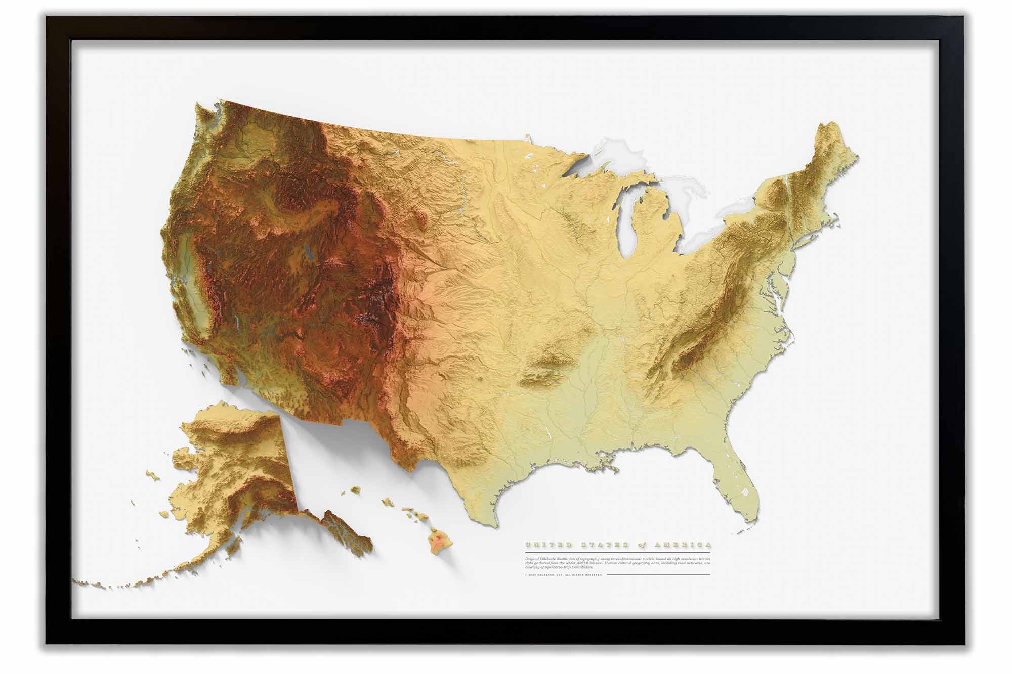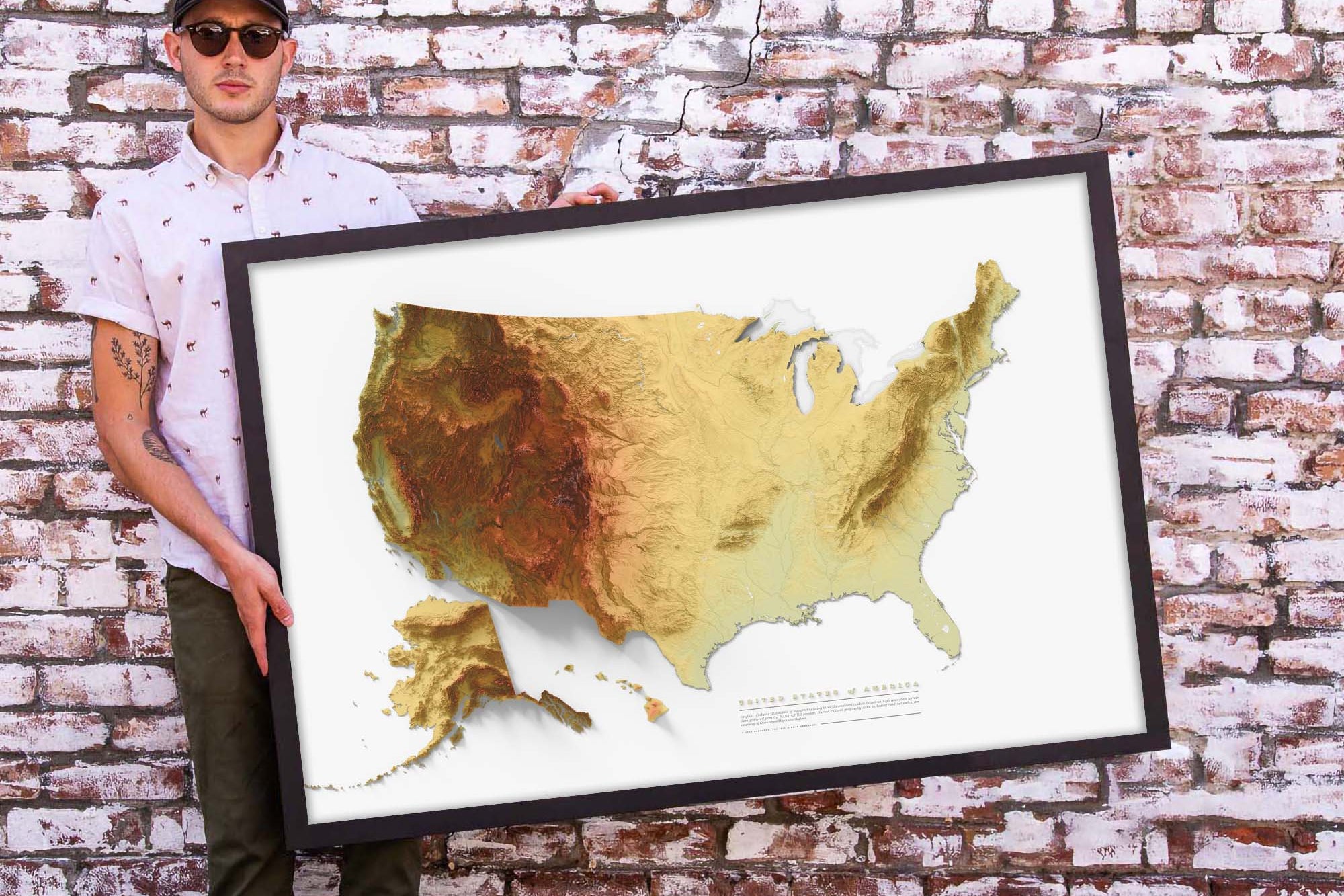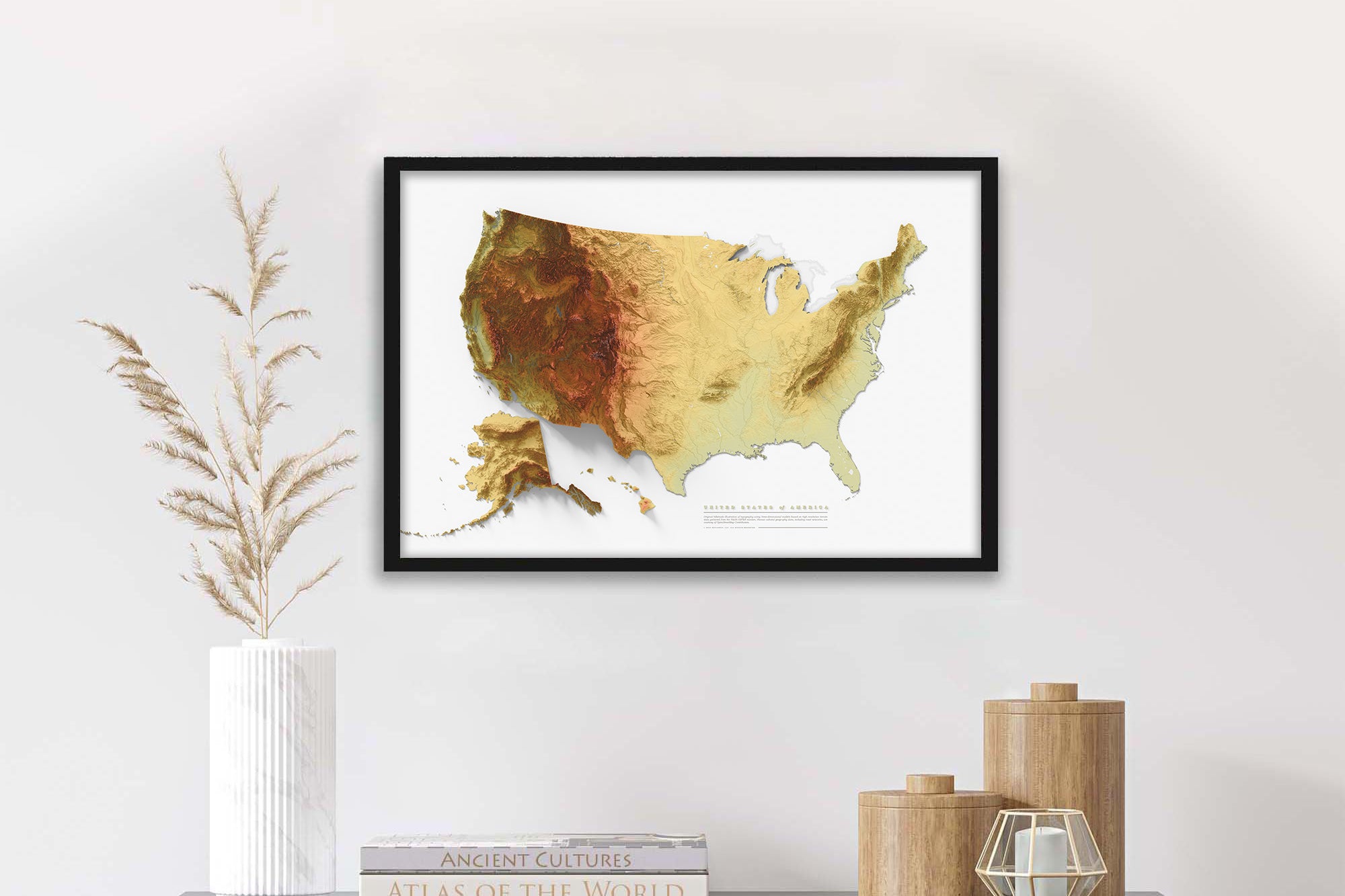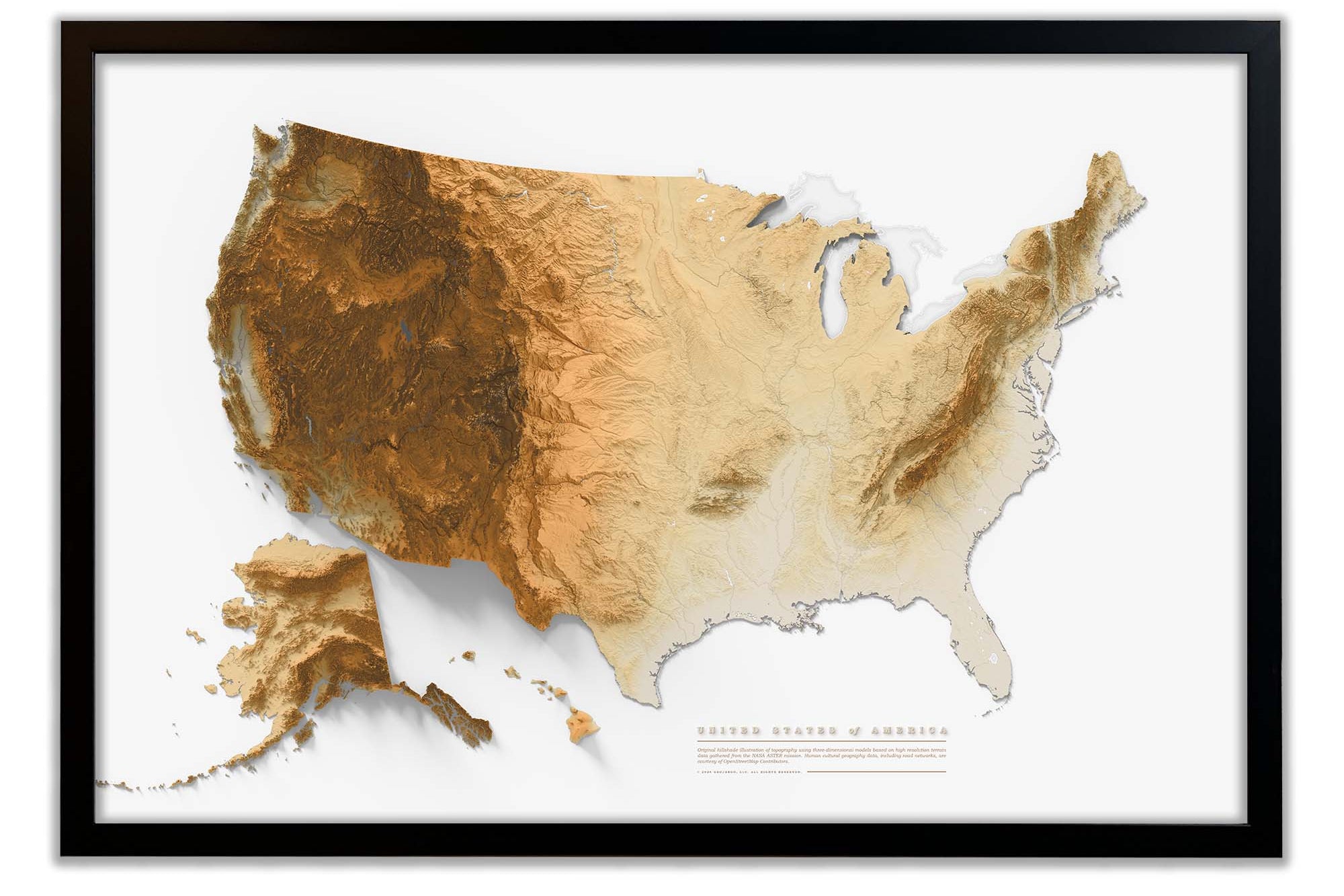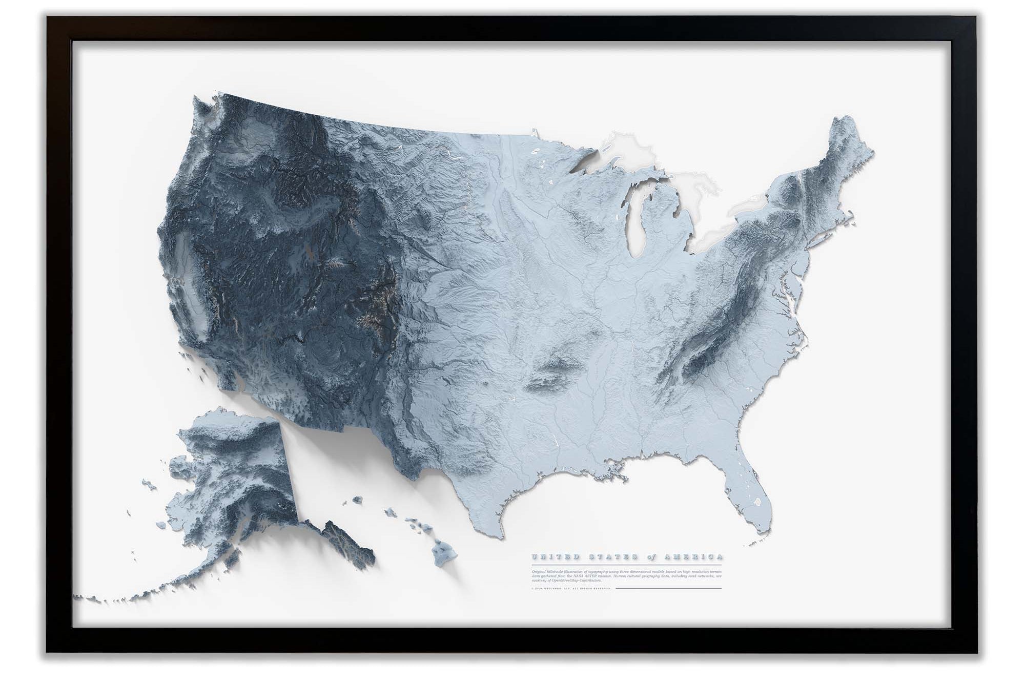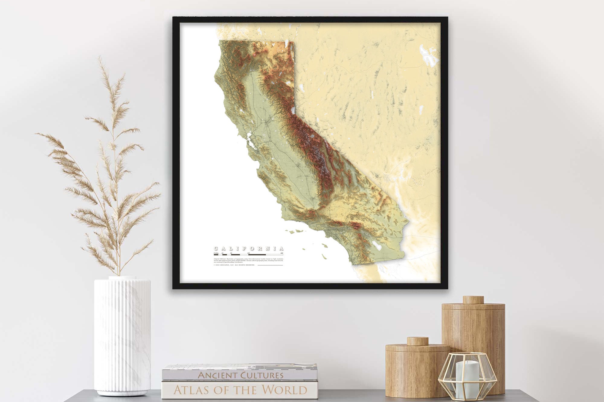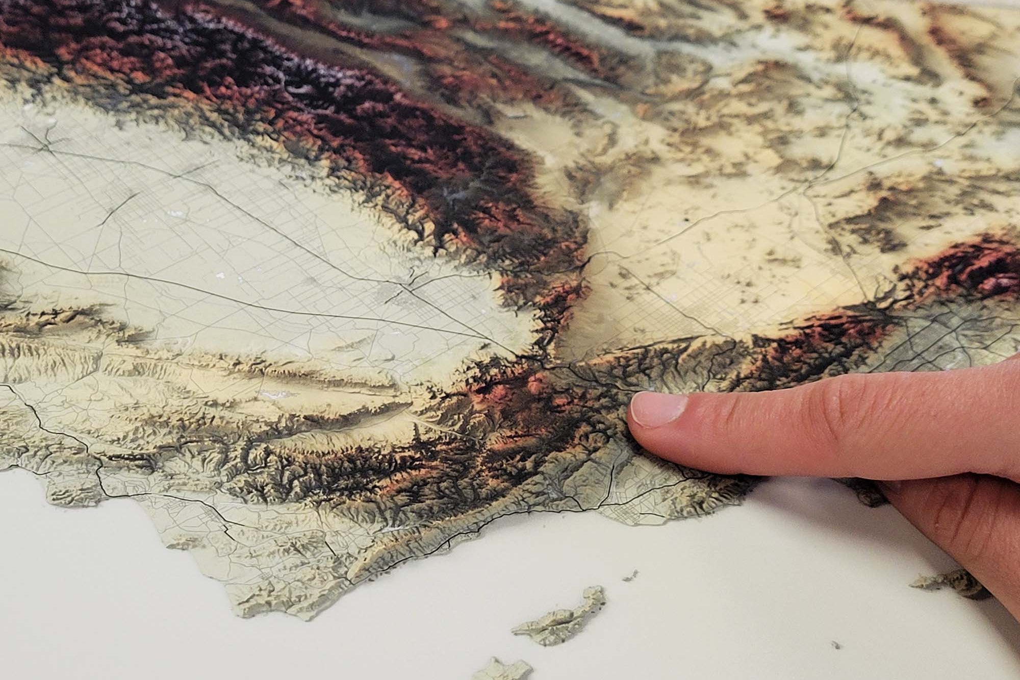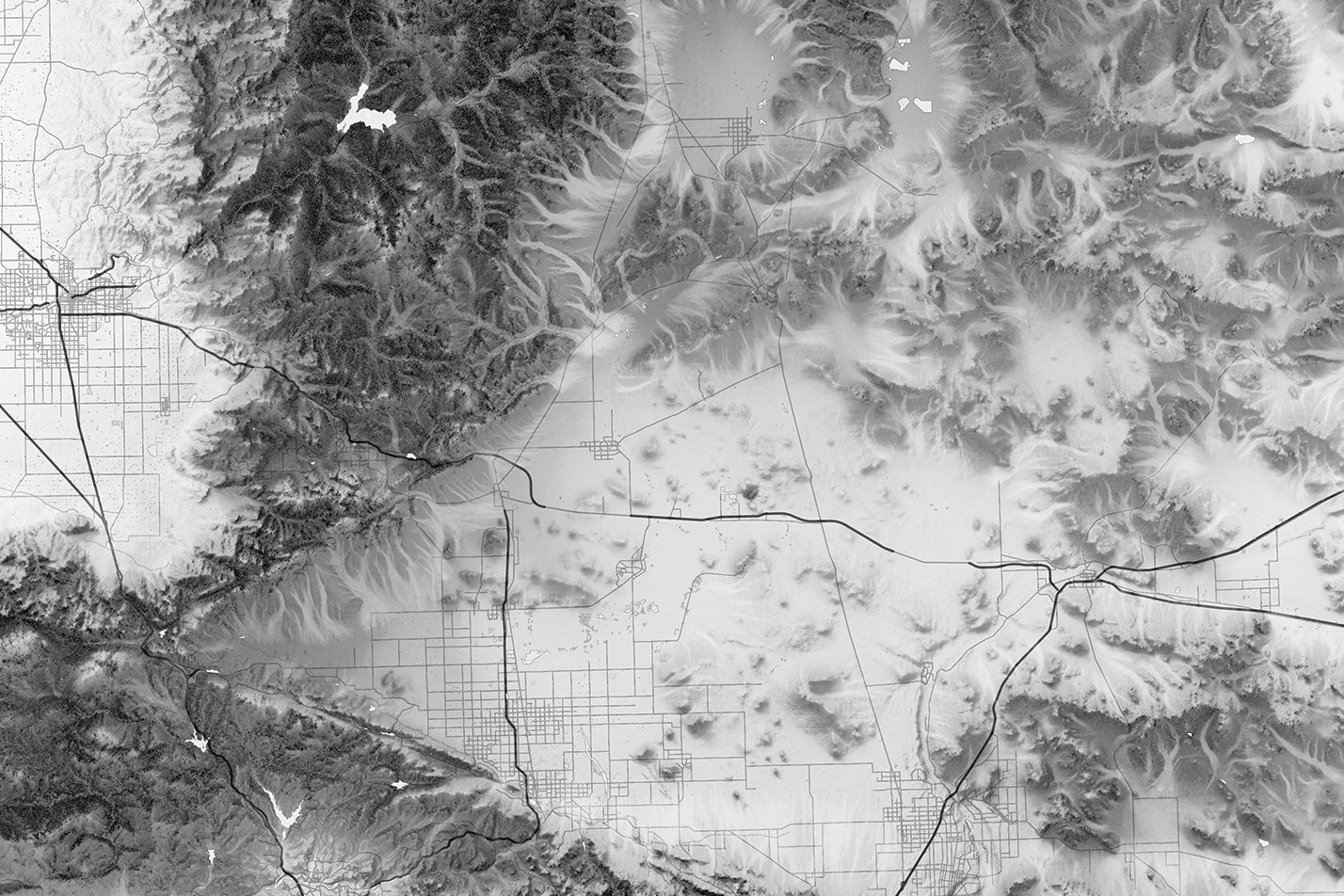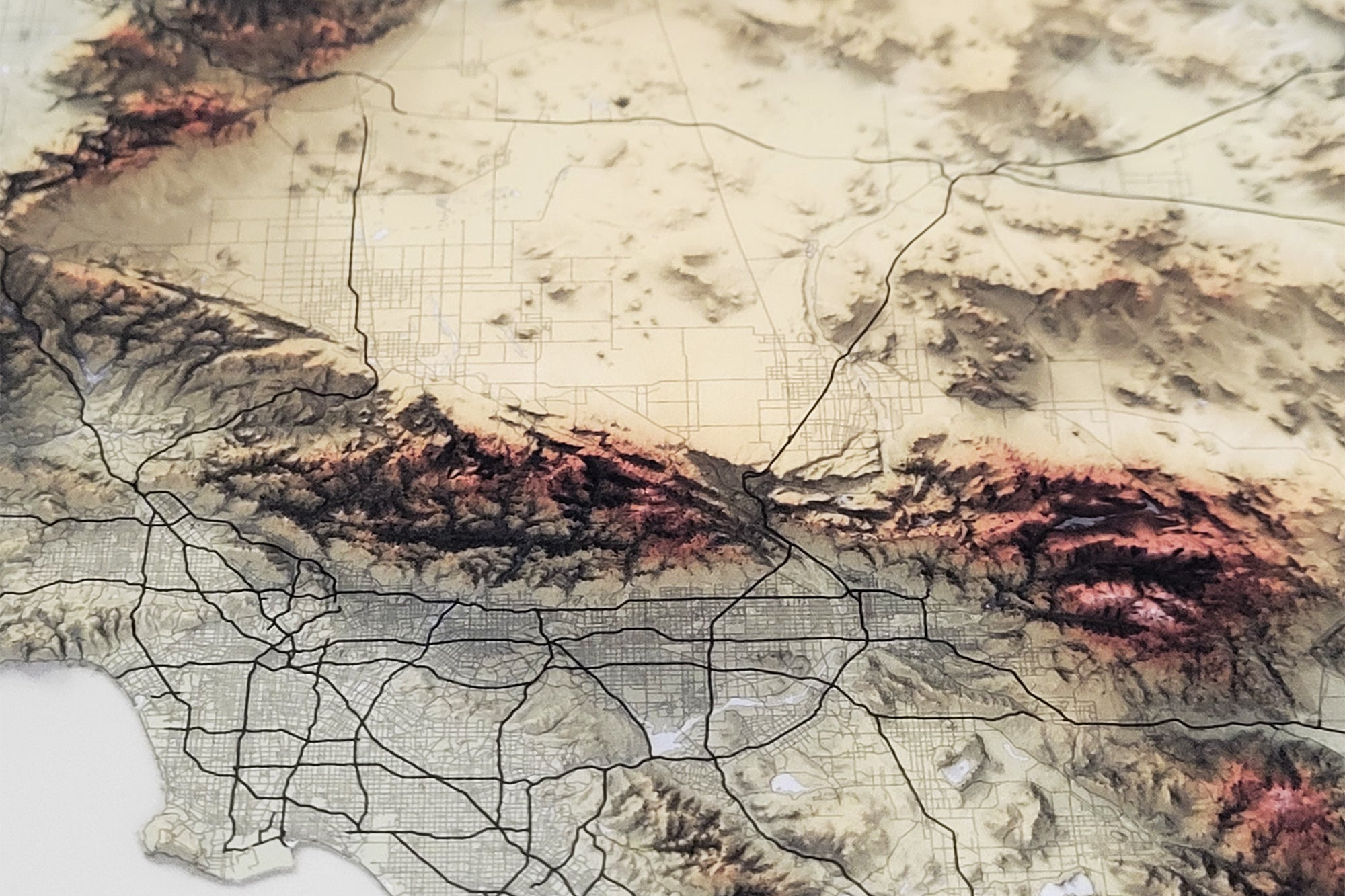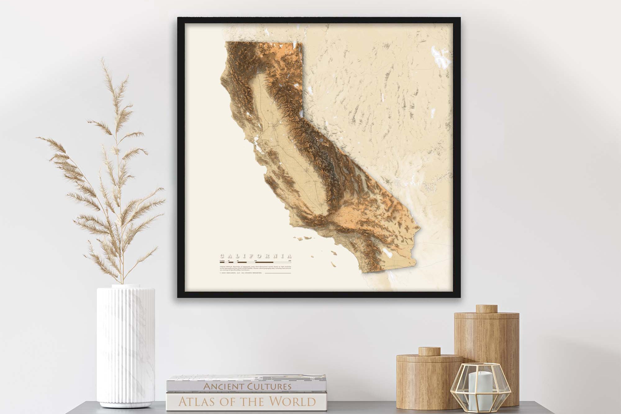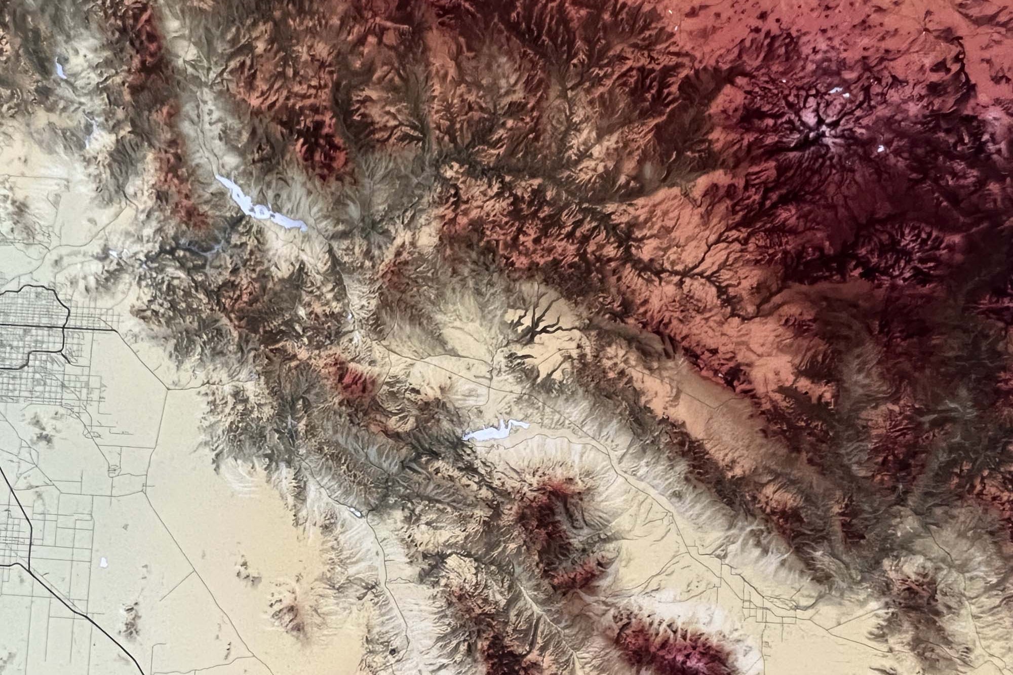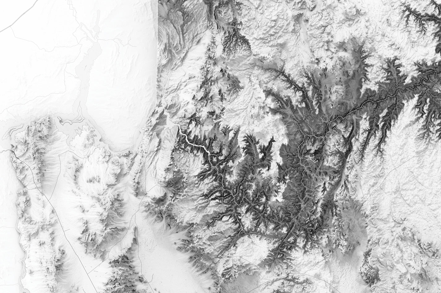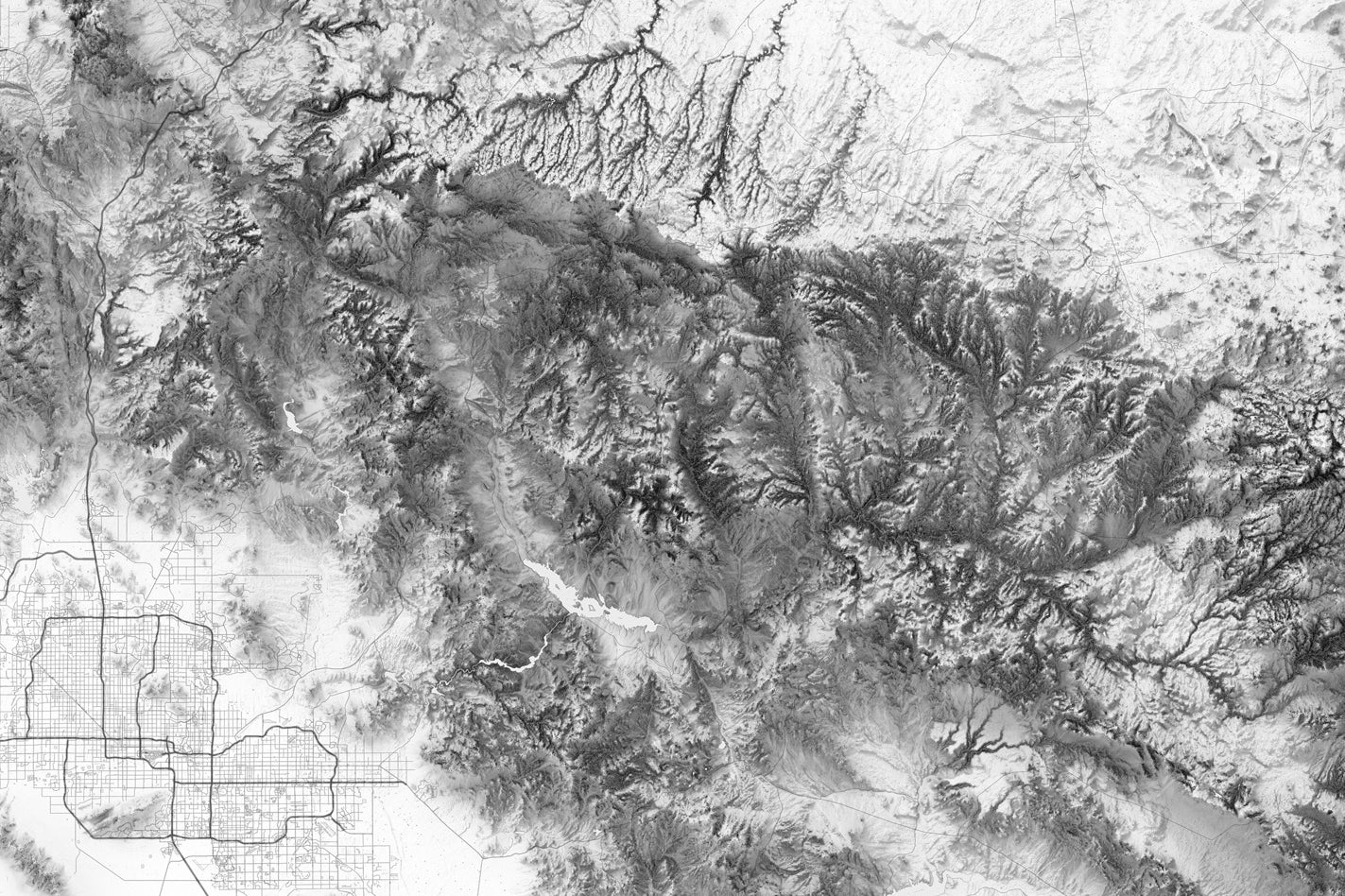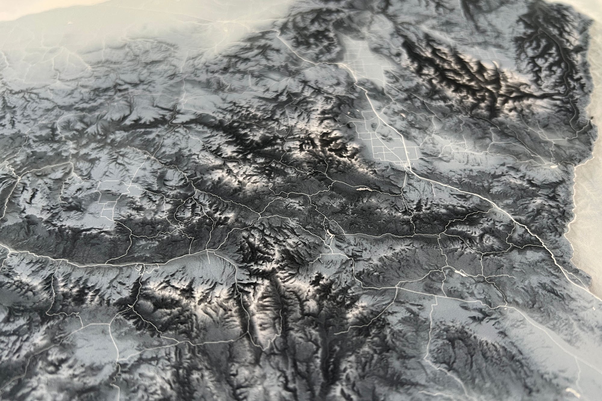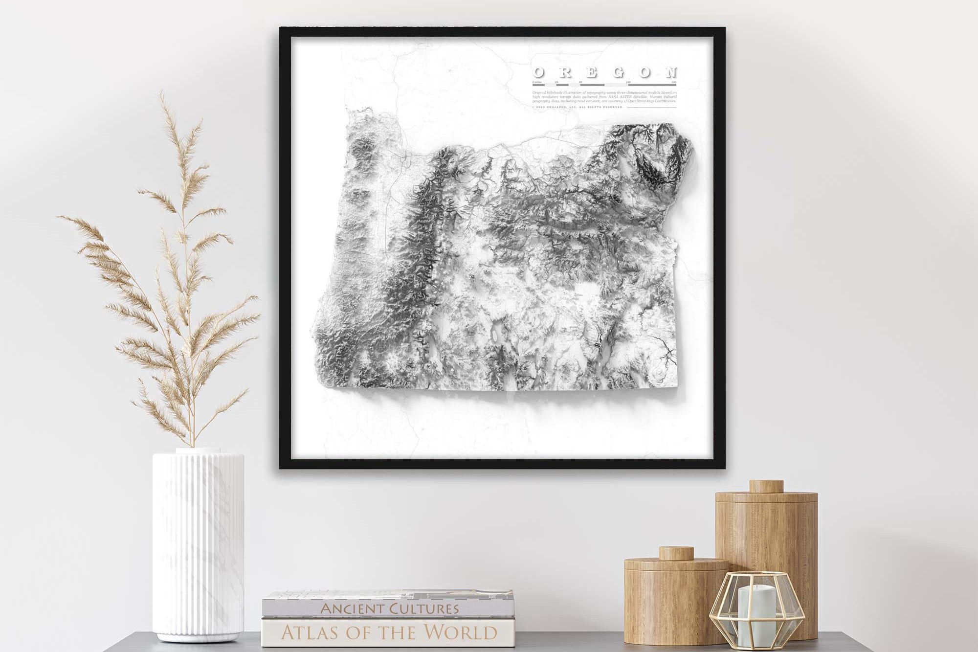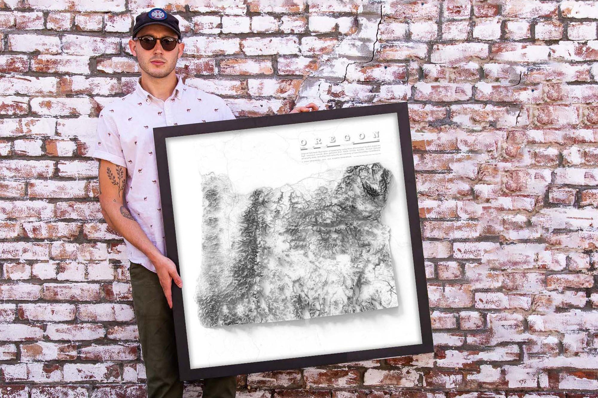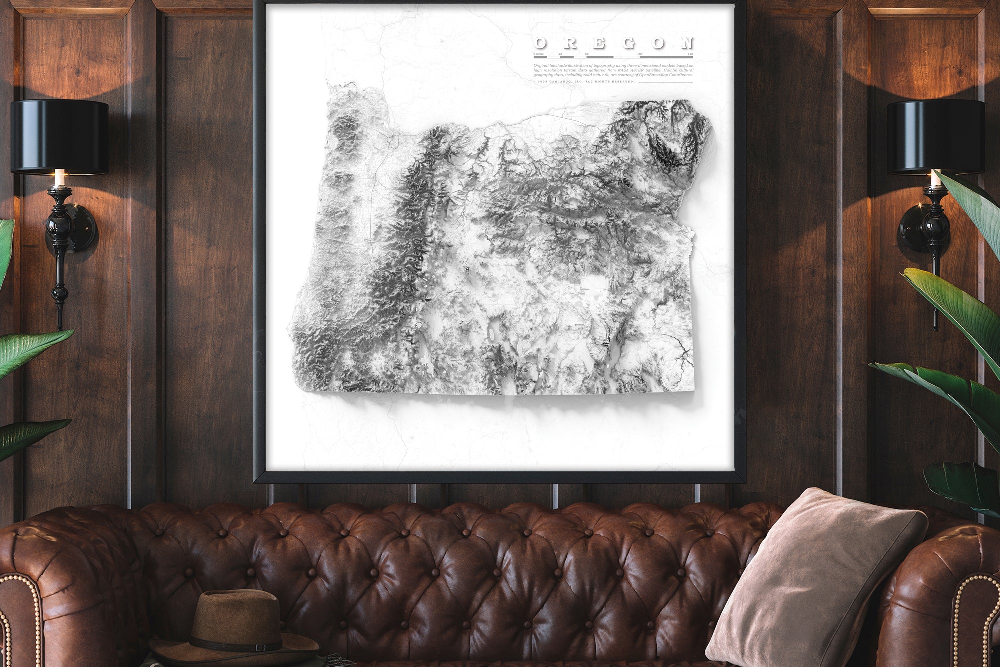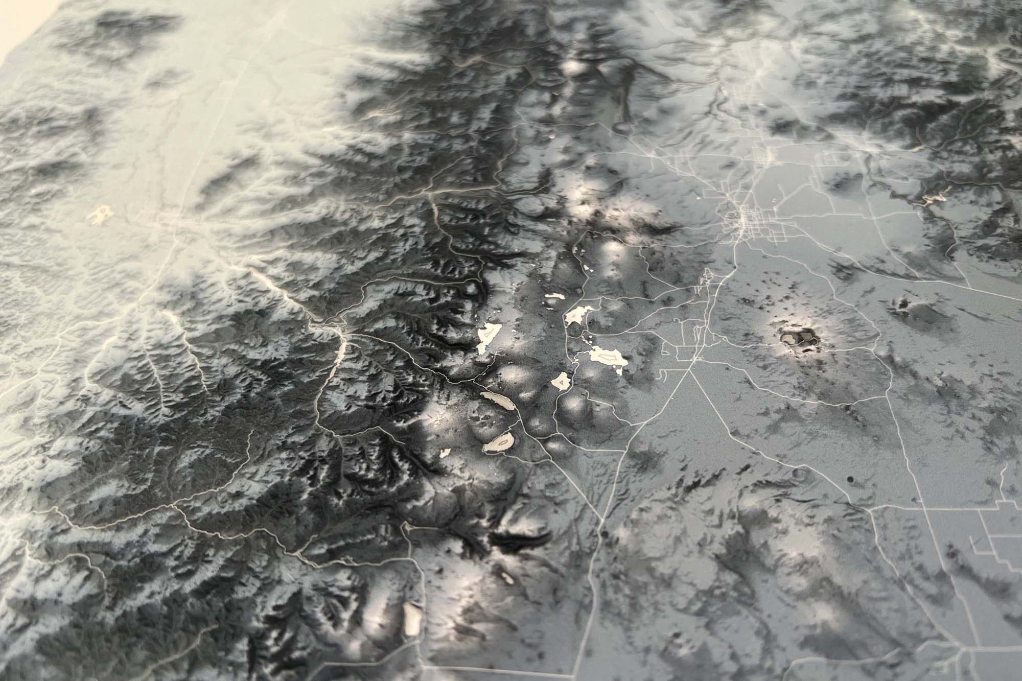
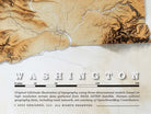


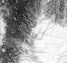


About the Map:
This impressive Washington Elevation Map stands as the ultimate tool for immersing yourself in the diverse and breathtaking terrain of this extraordinary state. Meticulously crafted using cutting-edge GIS data and technology, this topographic masterpiece presents the state of Washington with unparalleled precision and detail.
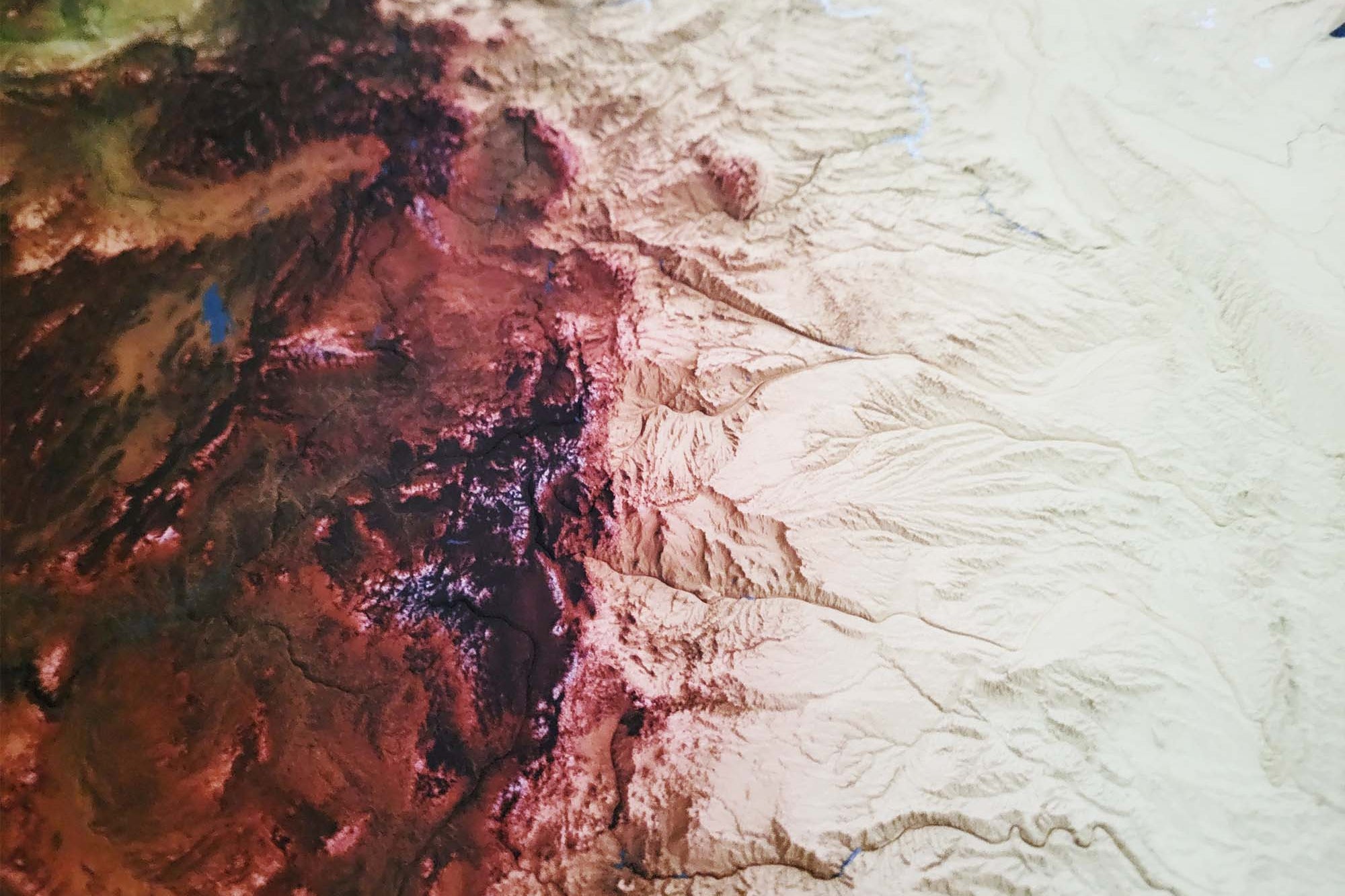
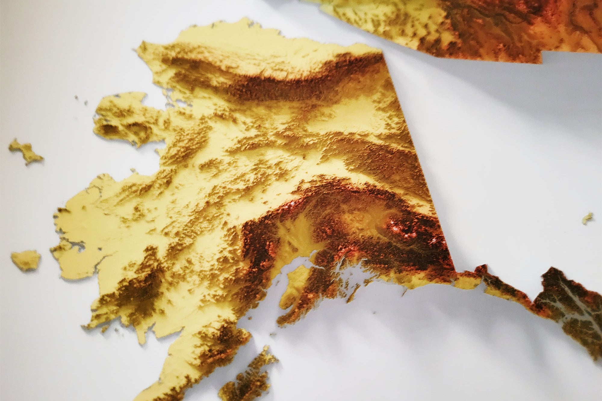
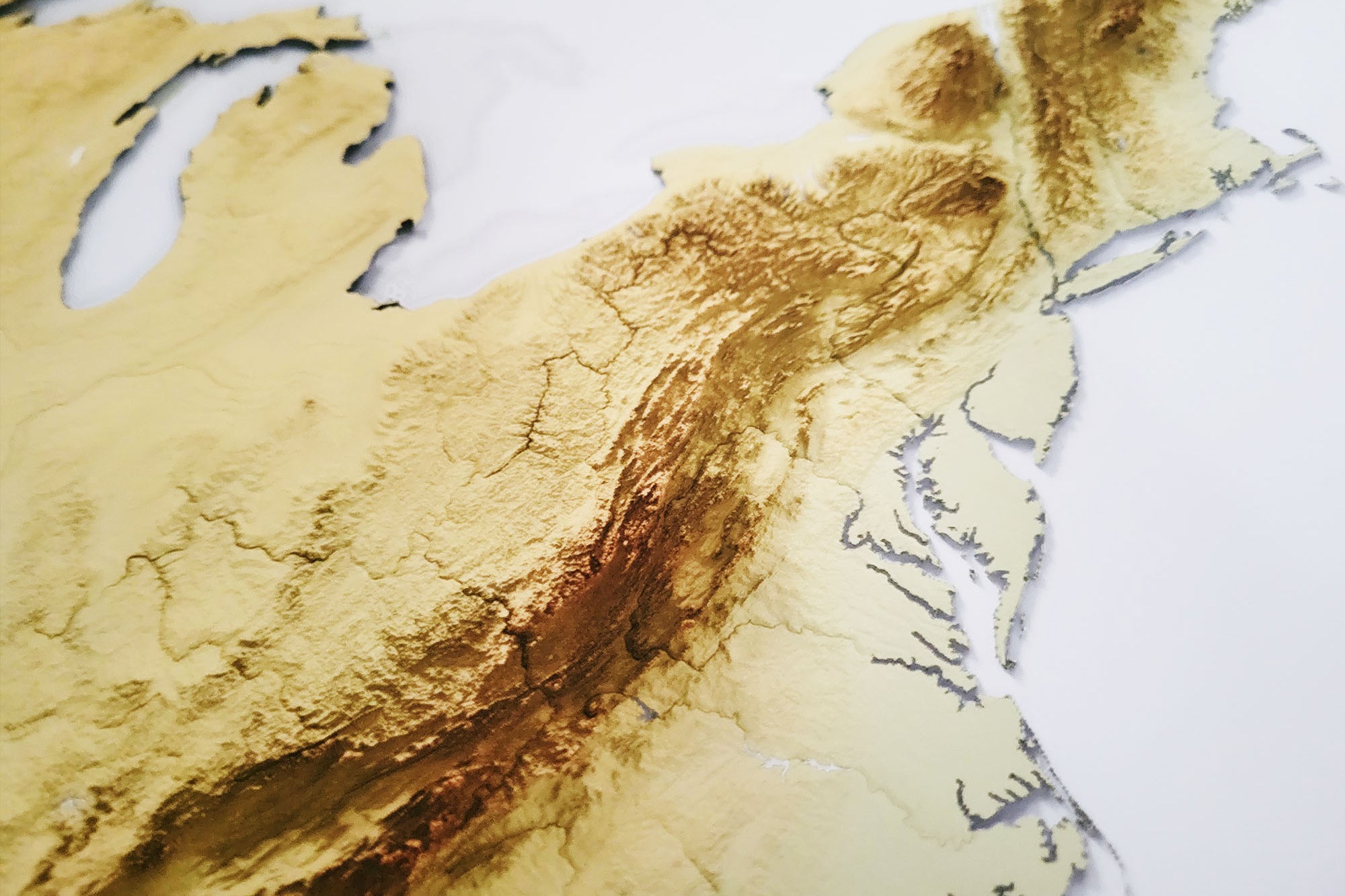
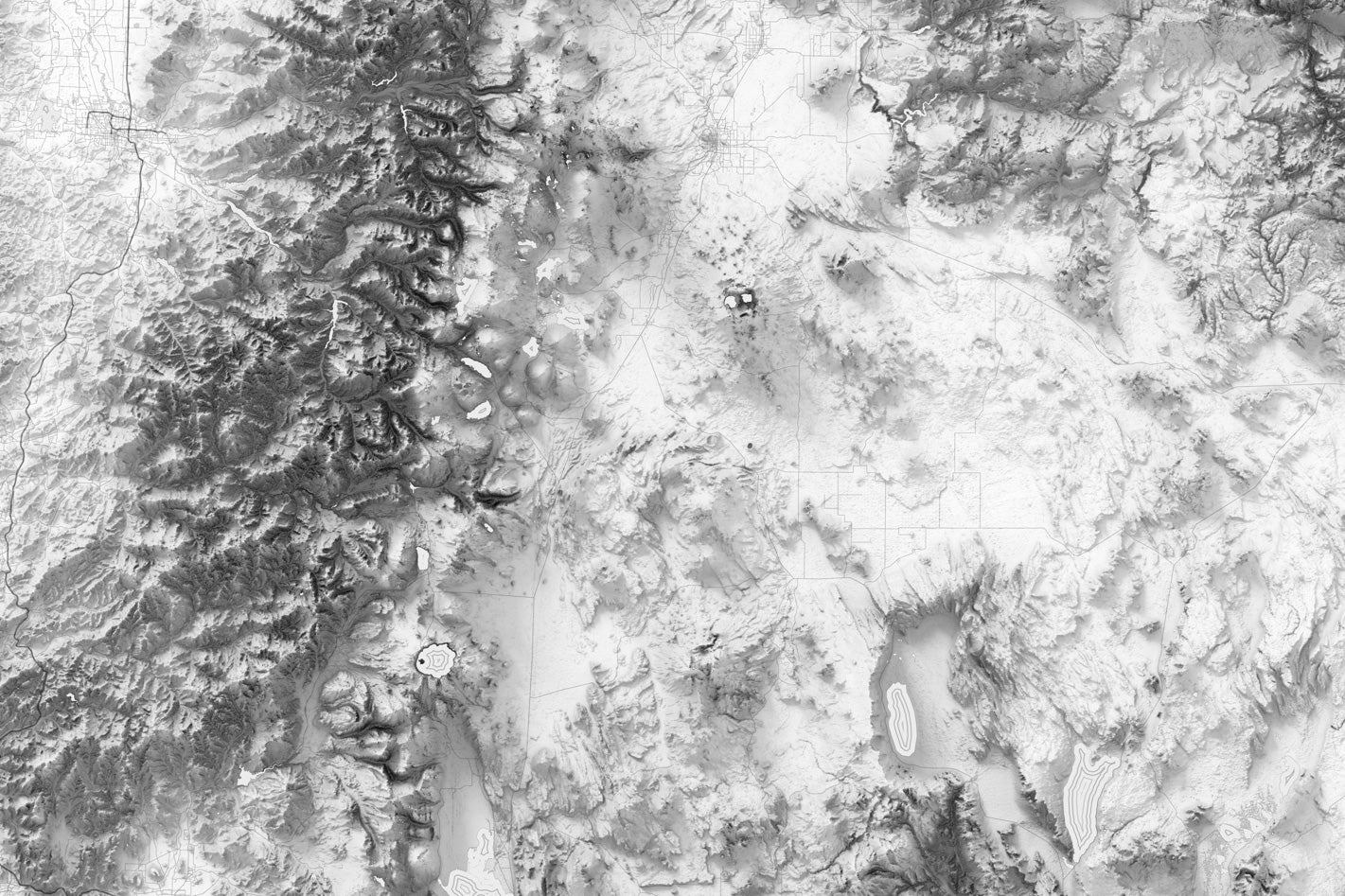
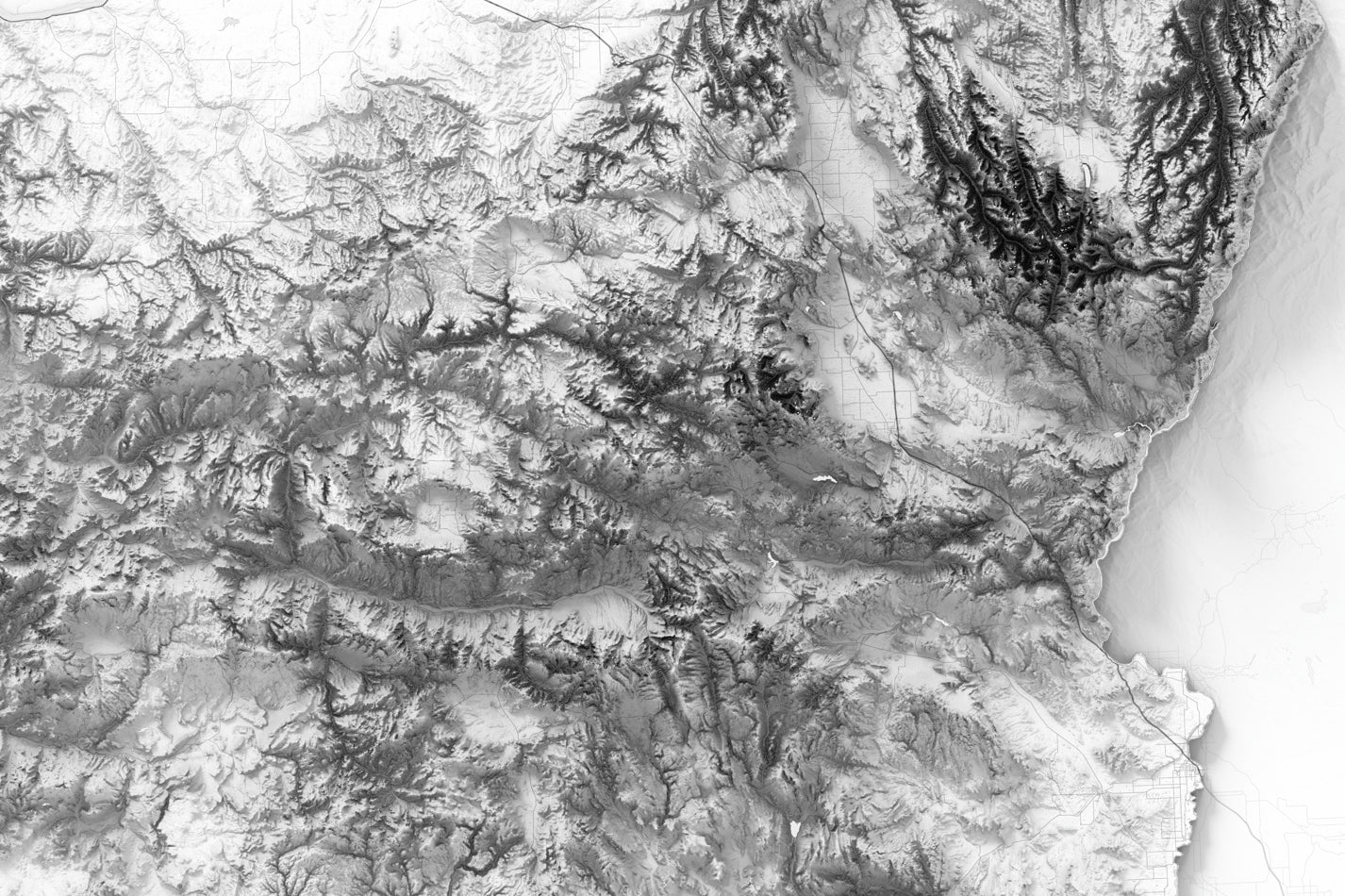
The Washington Elevation Map faithfully captures the full spectrum of the state's topographical wonders, from the rugged summits of the Cascades to the gentle undulations of the Palouse region. Its intricate depiction of the landscape allows for easy identification of major landmarks, mountain ranges, rivers, lakes, and other distinctive features that contribute to Washington's exceptional and captivating character.
A must-have for outdoor enthusiasts, cartographers, and geography aficionados, this map is a valuable resource for planning your next adventure or simply reveling in the natural splendor of this remarkable state, thanks to its comprehensive and accurate representation of Washington's diverse terrain.