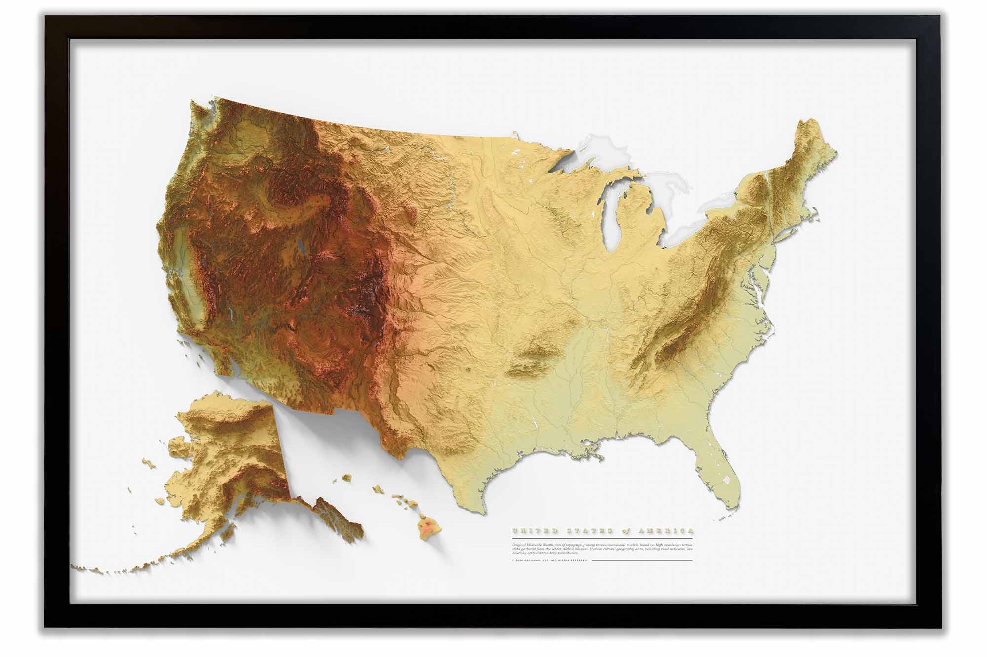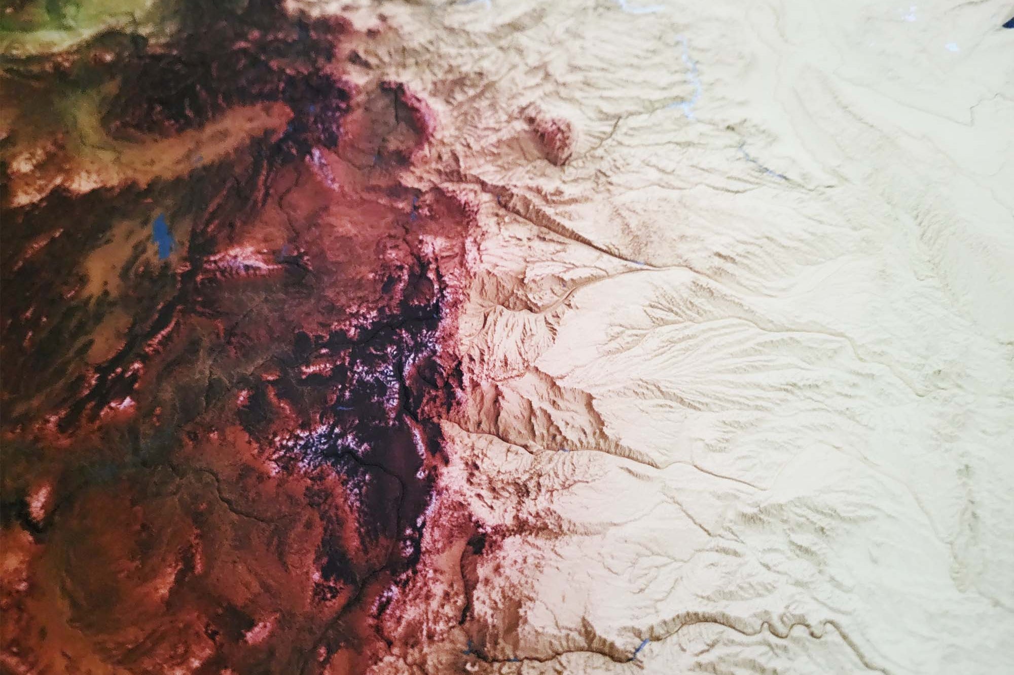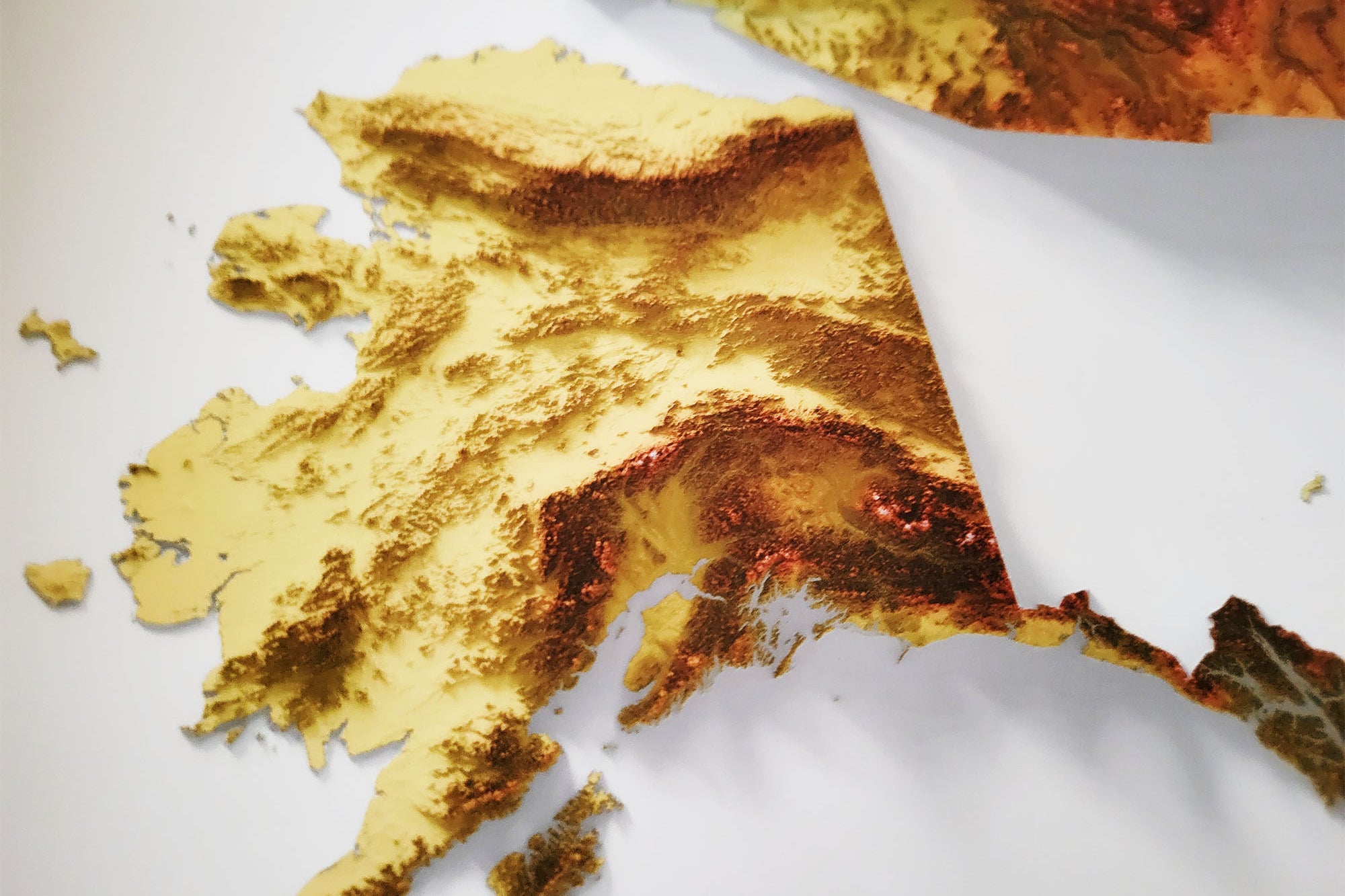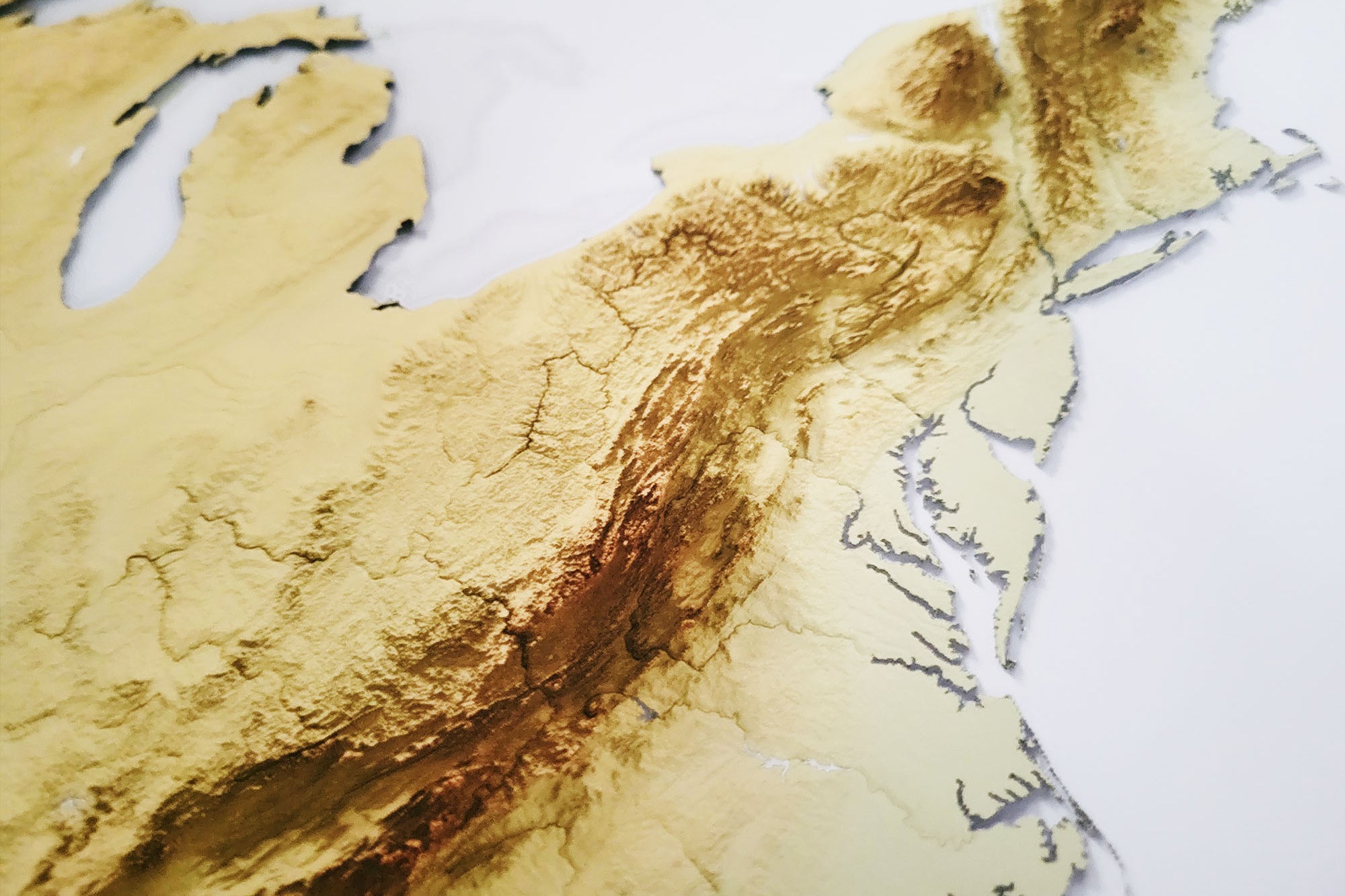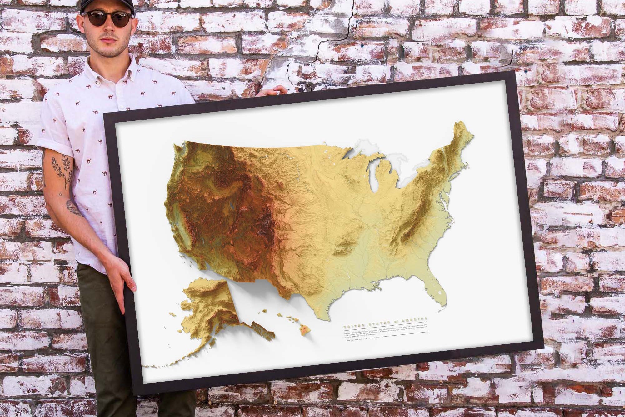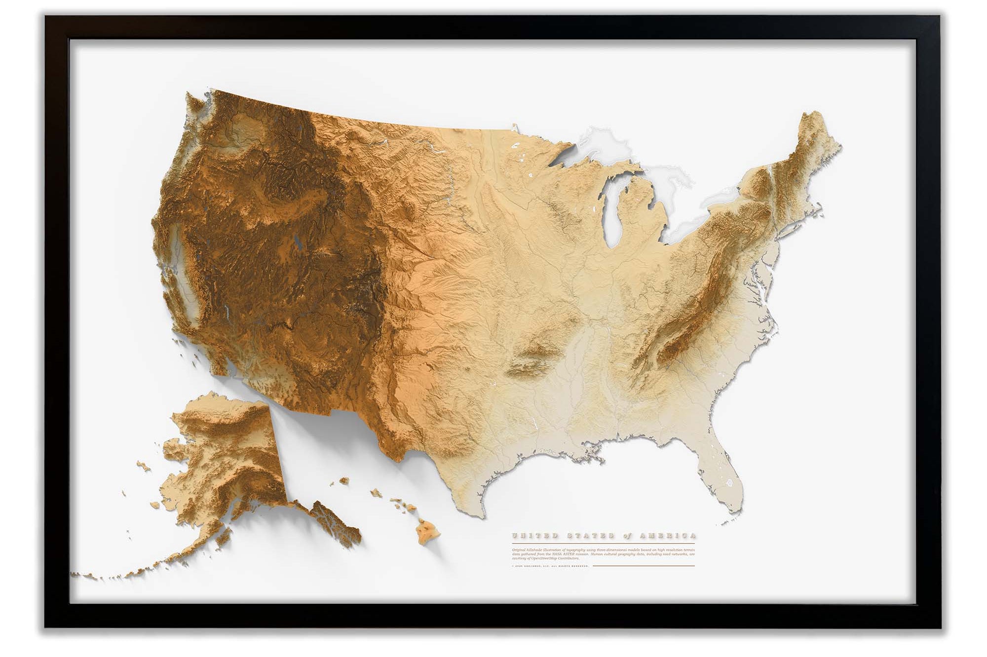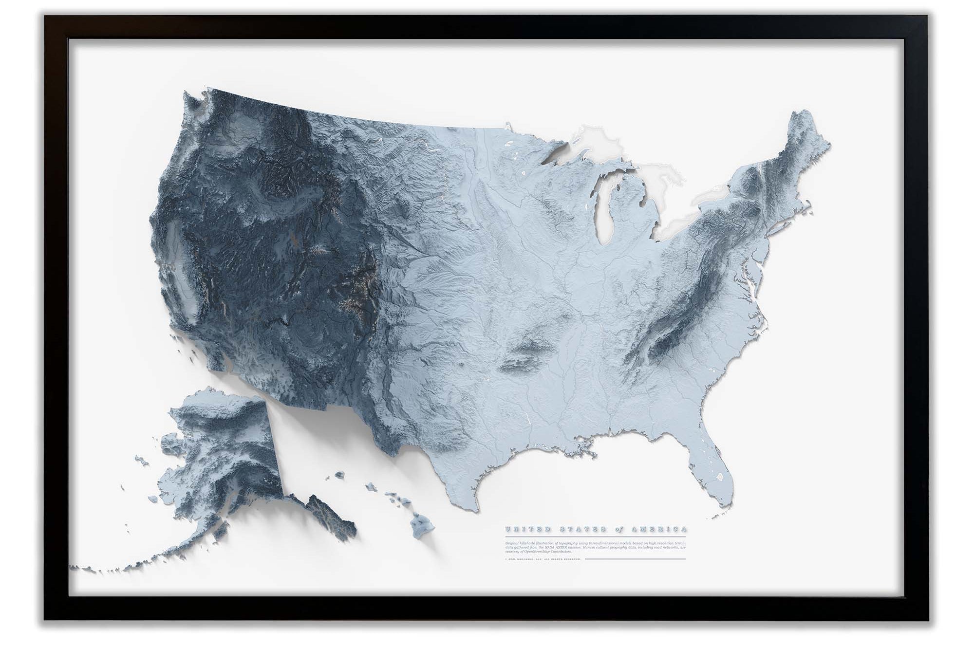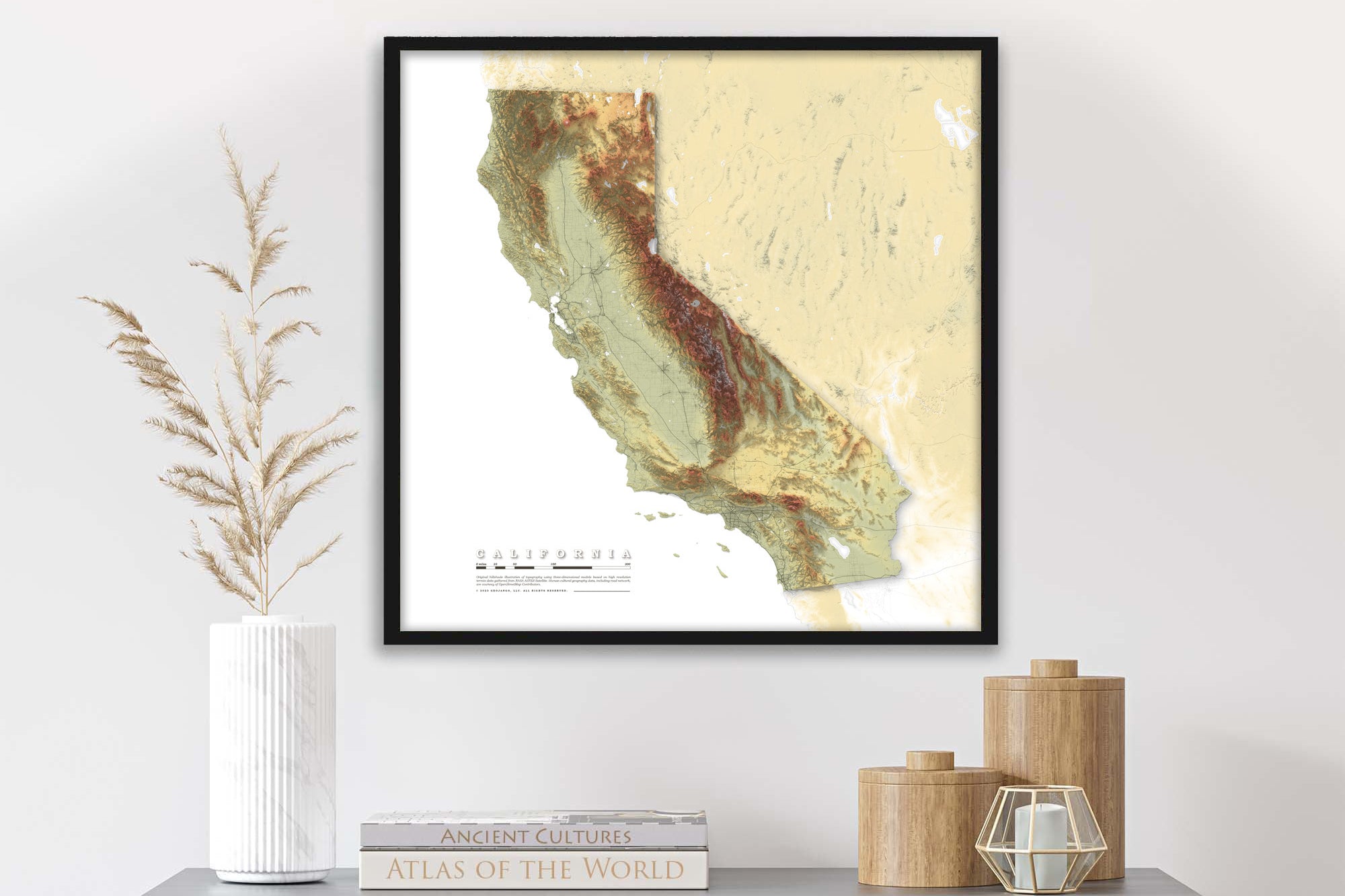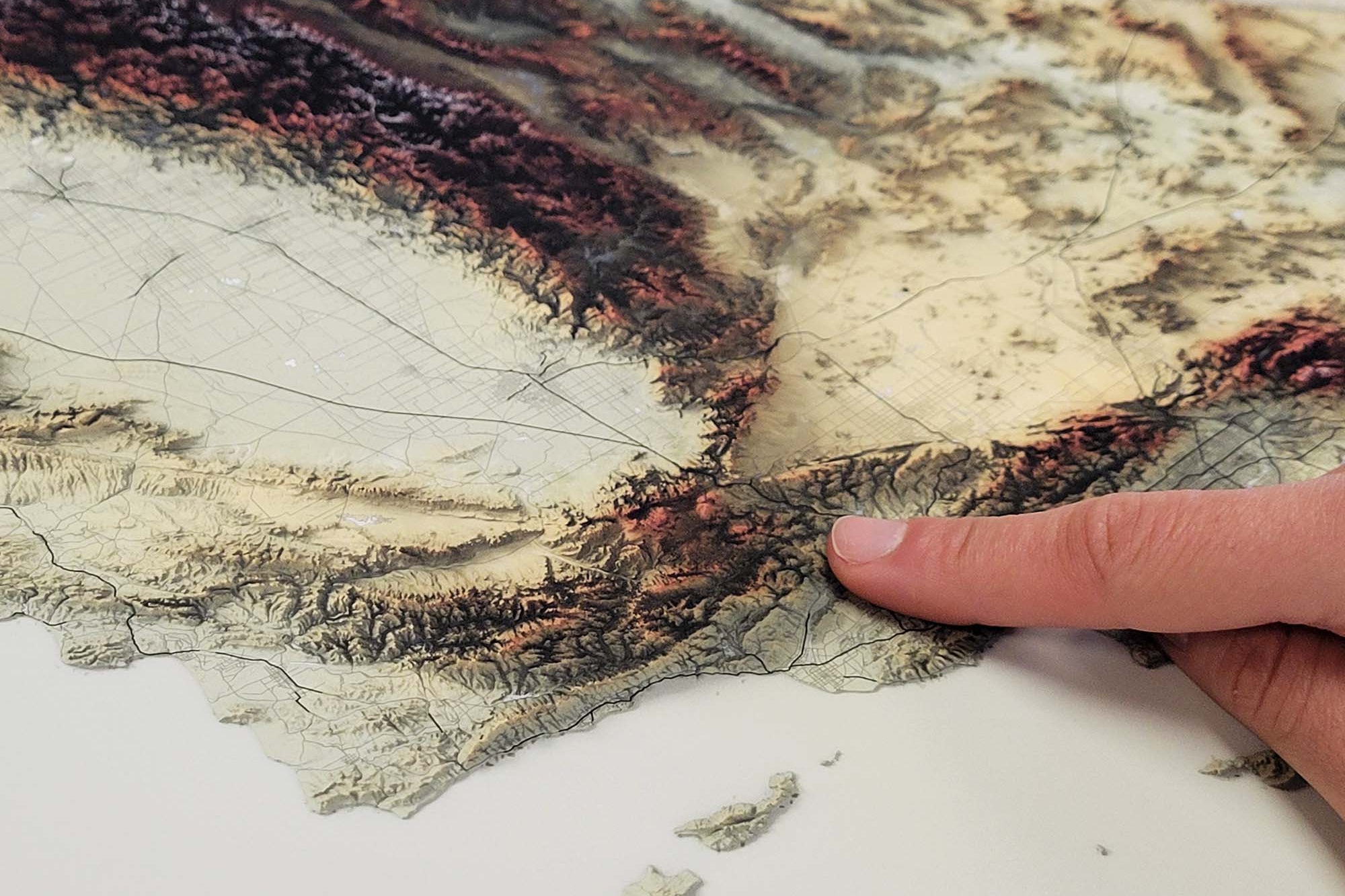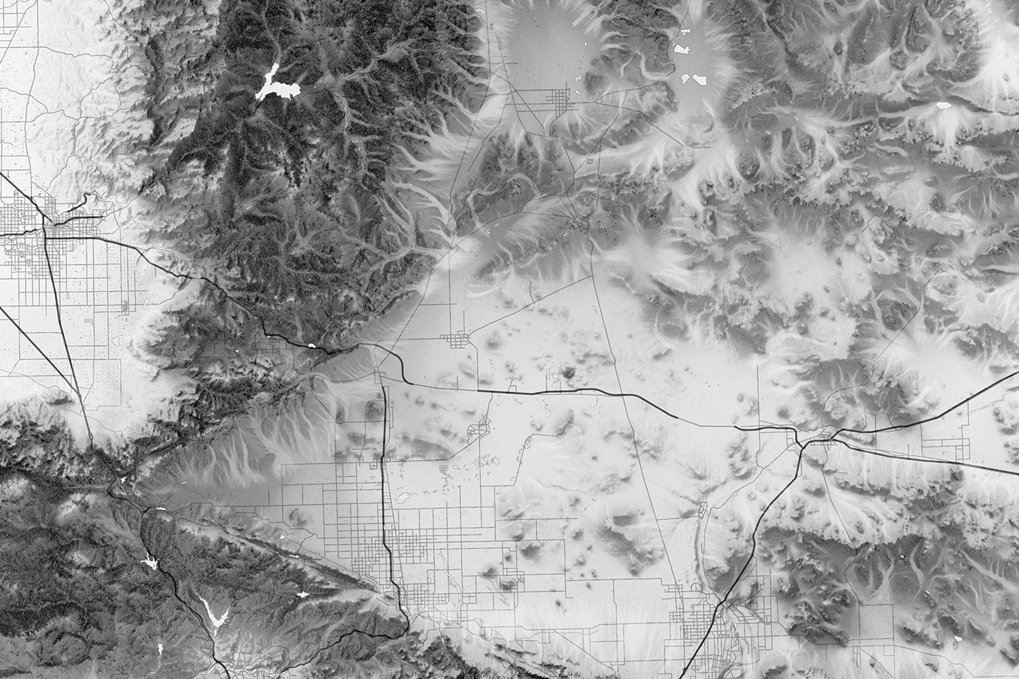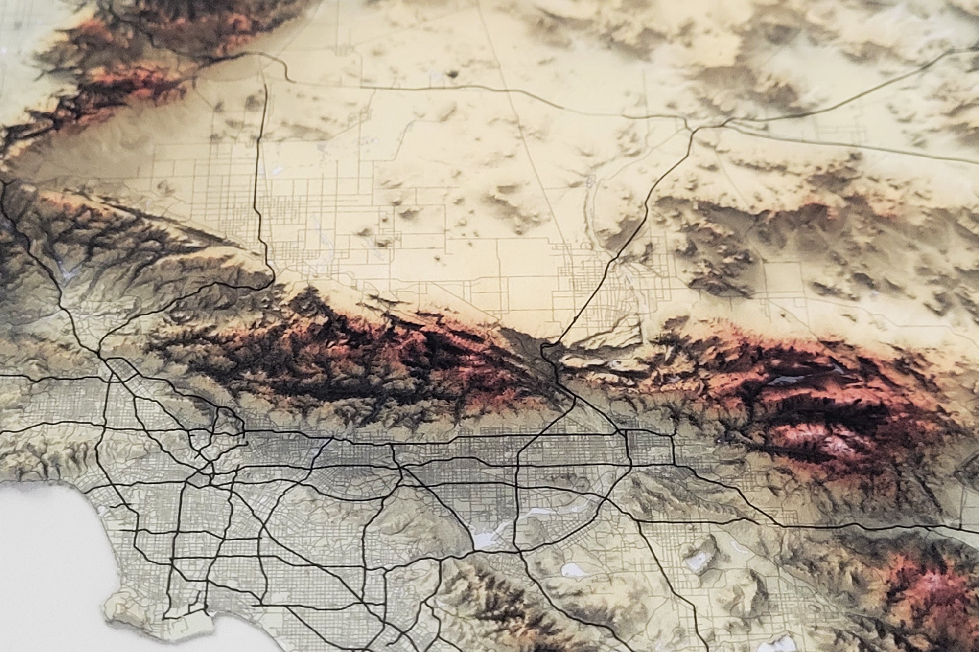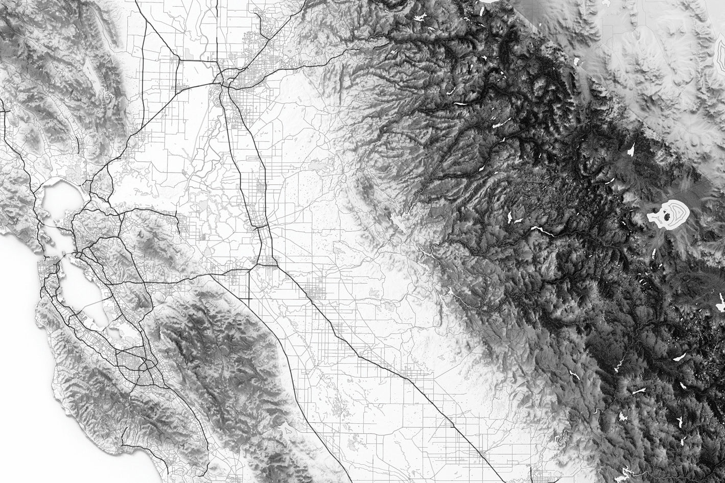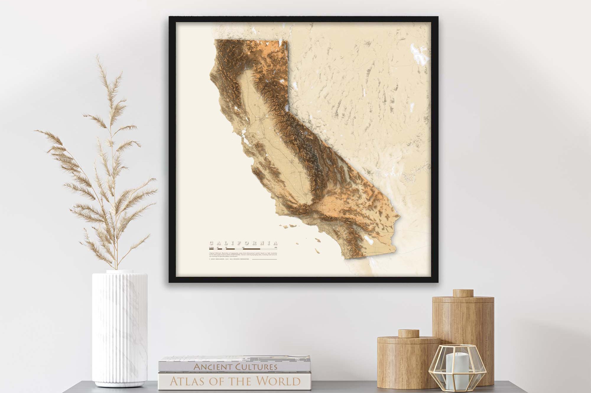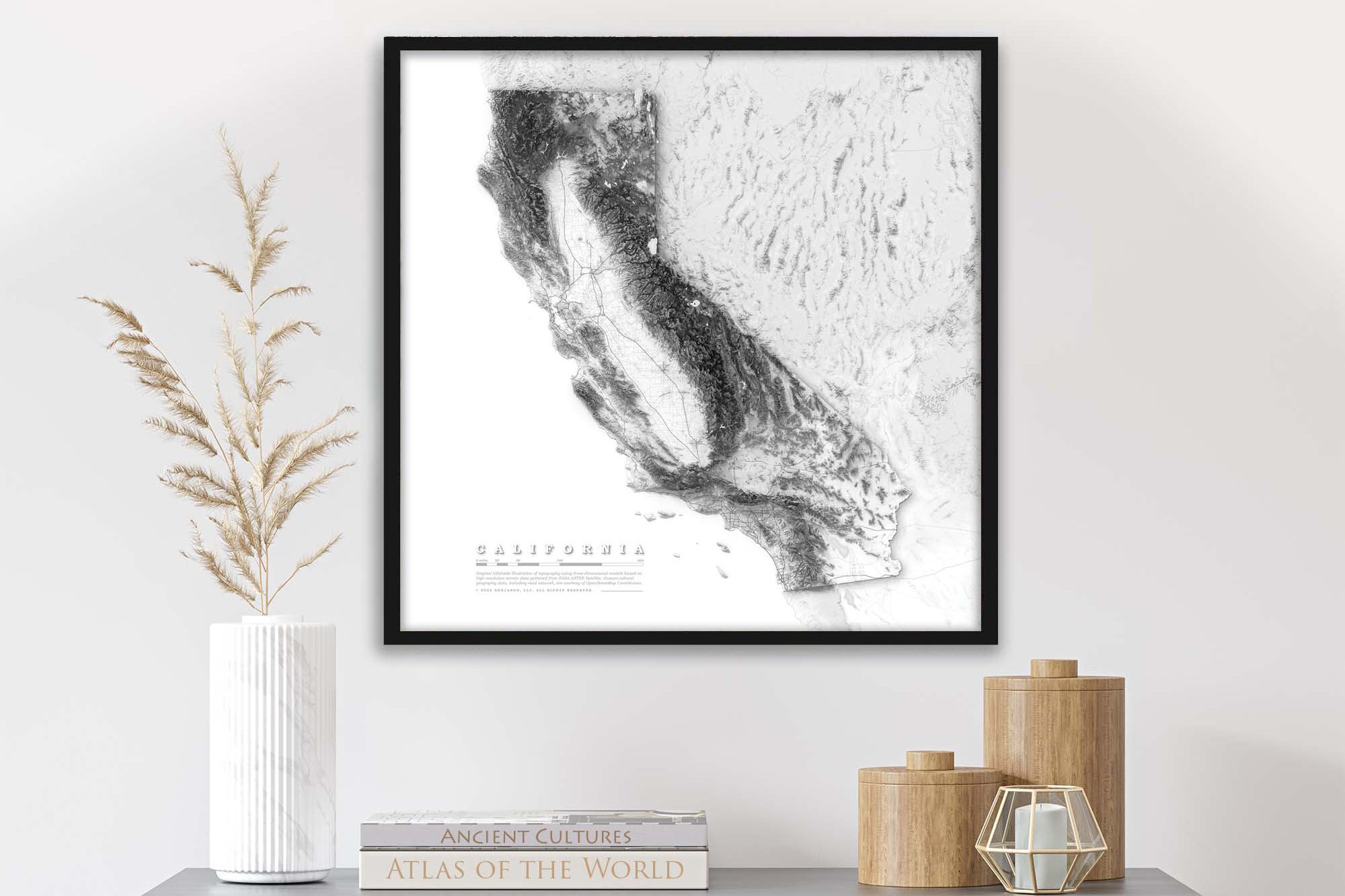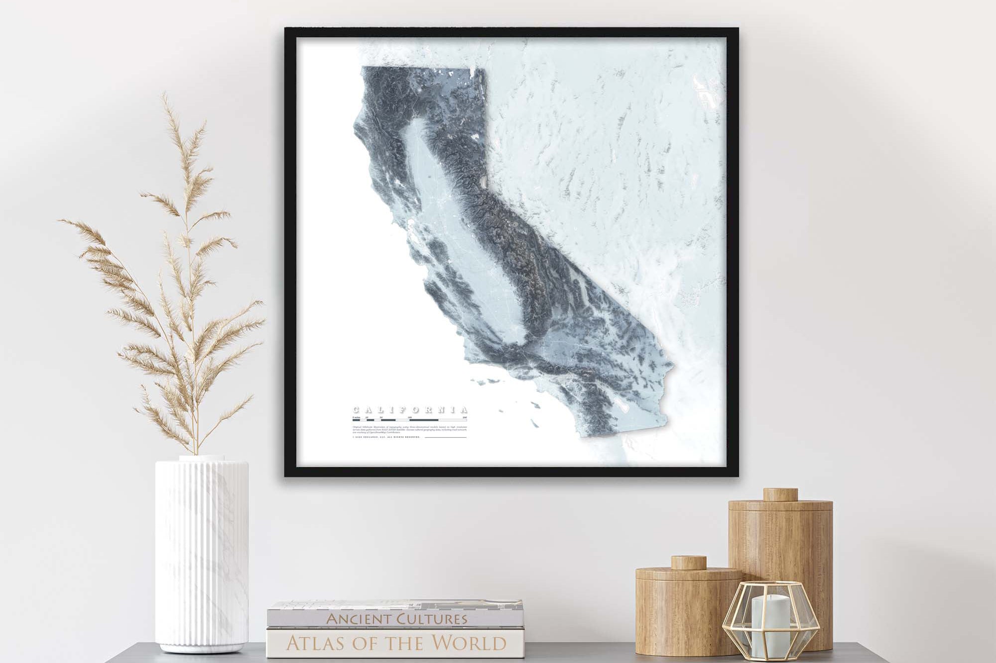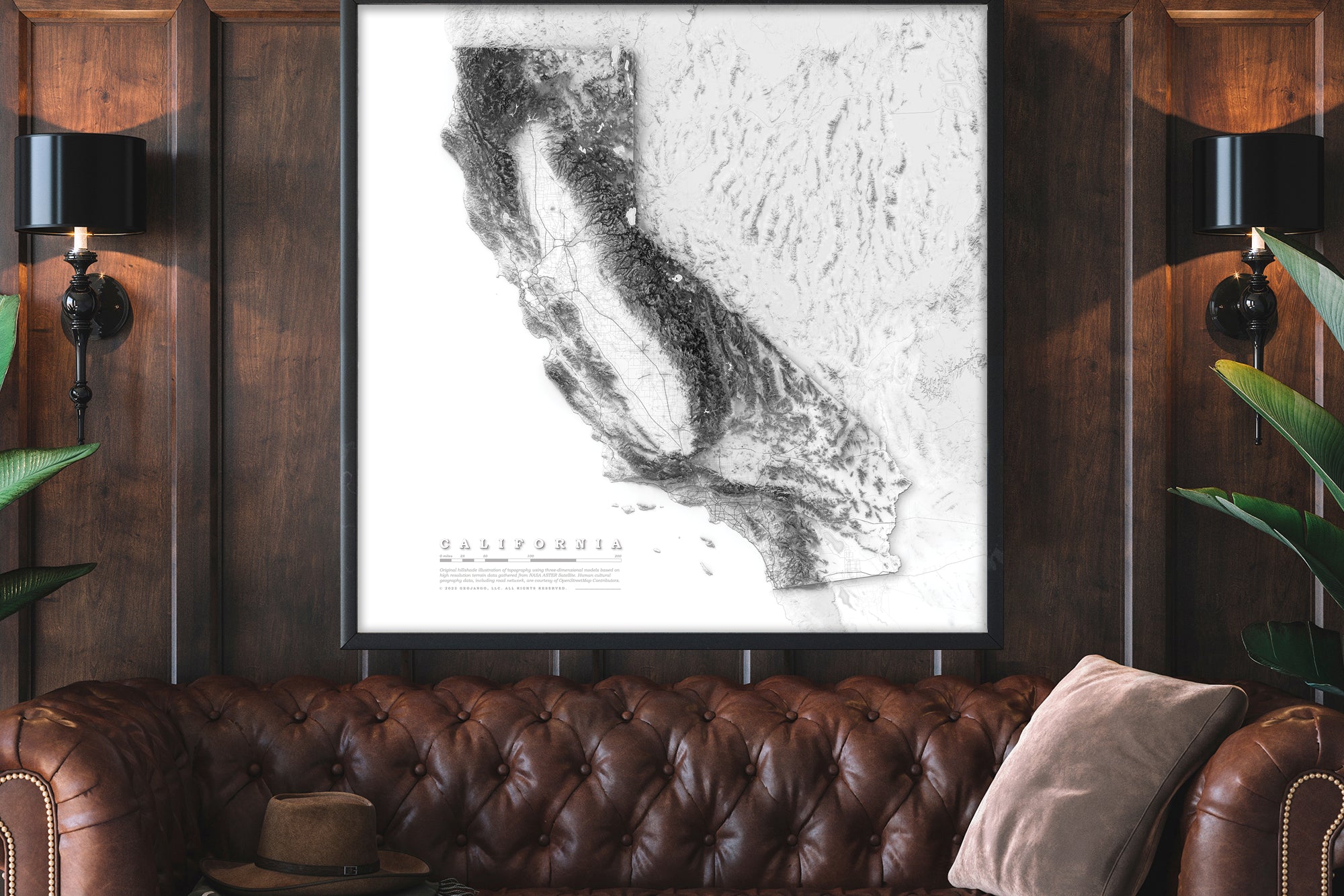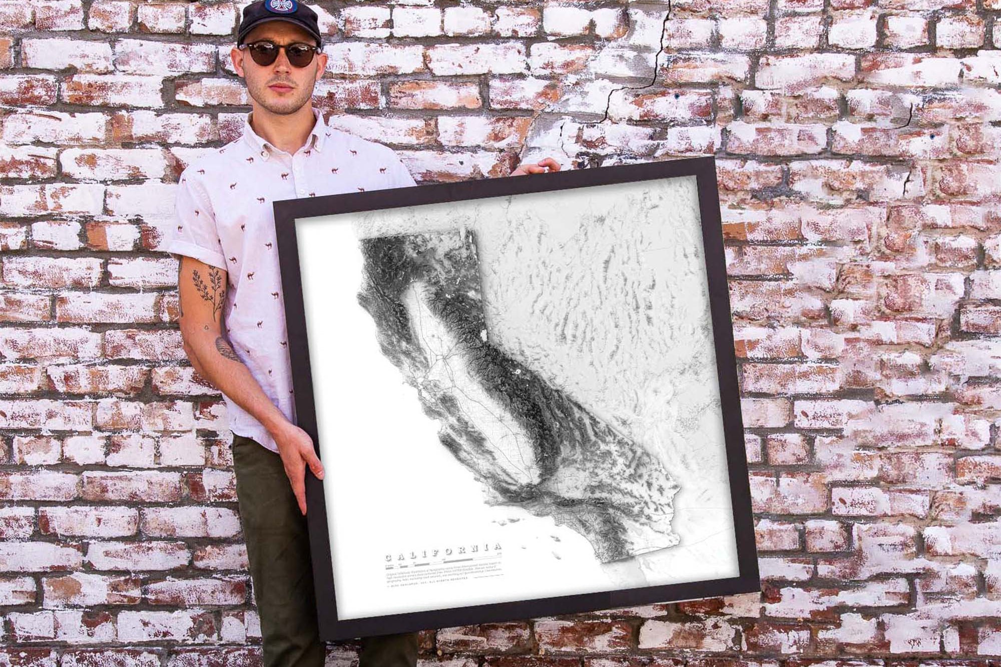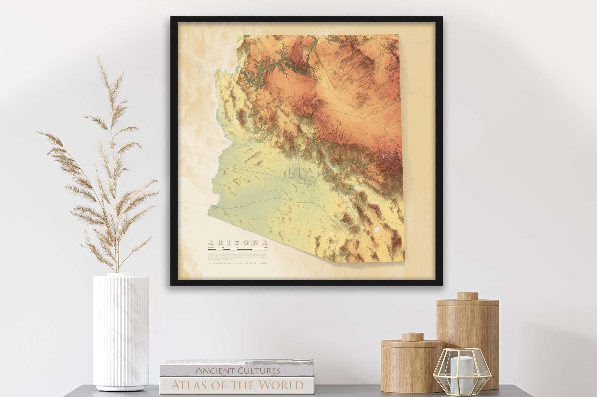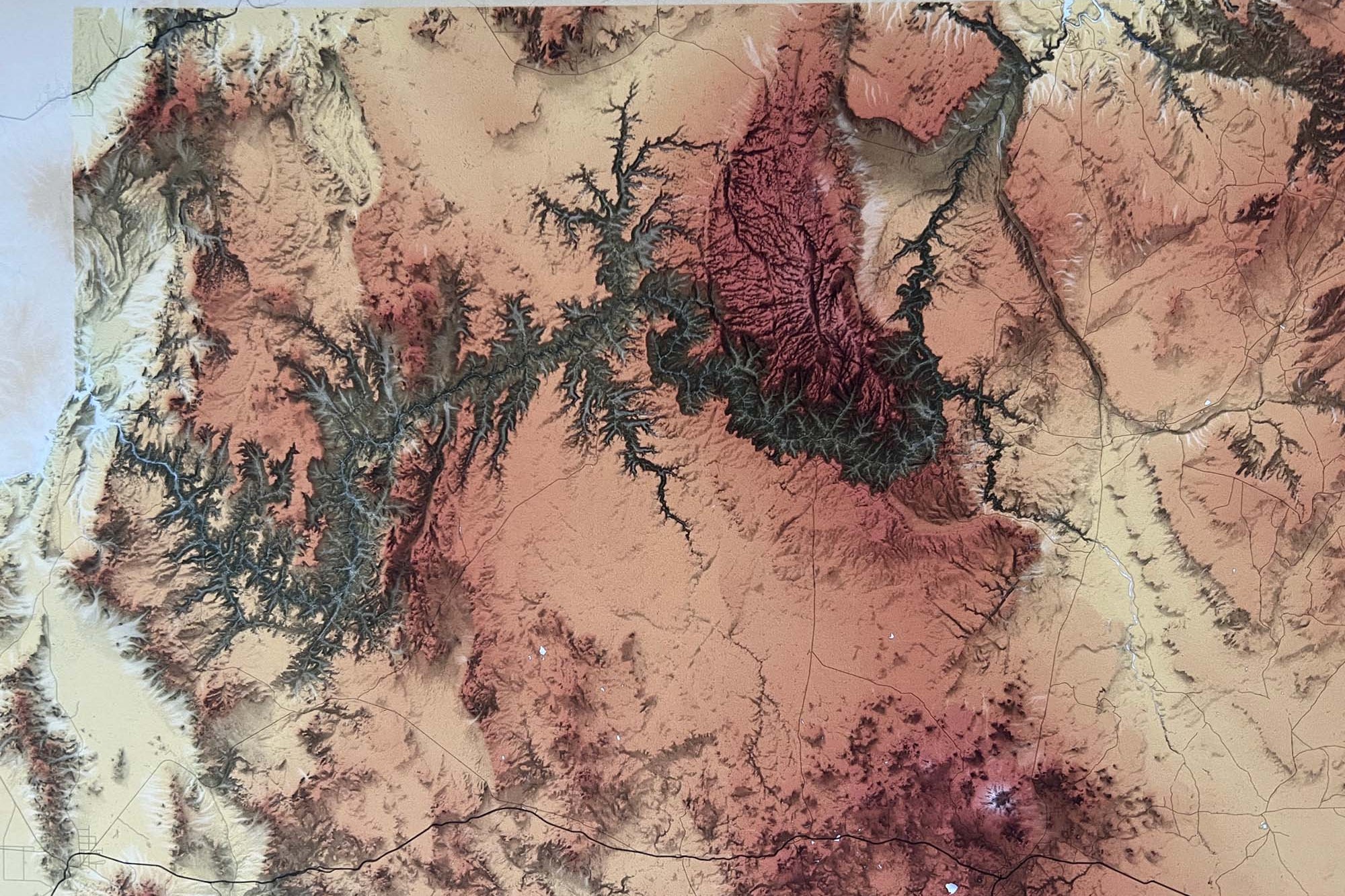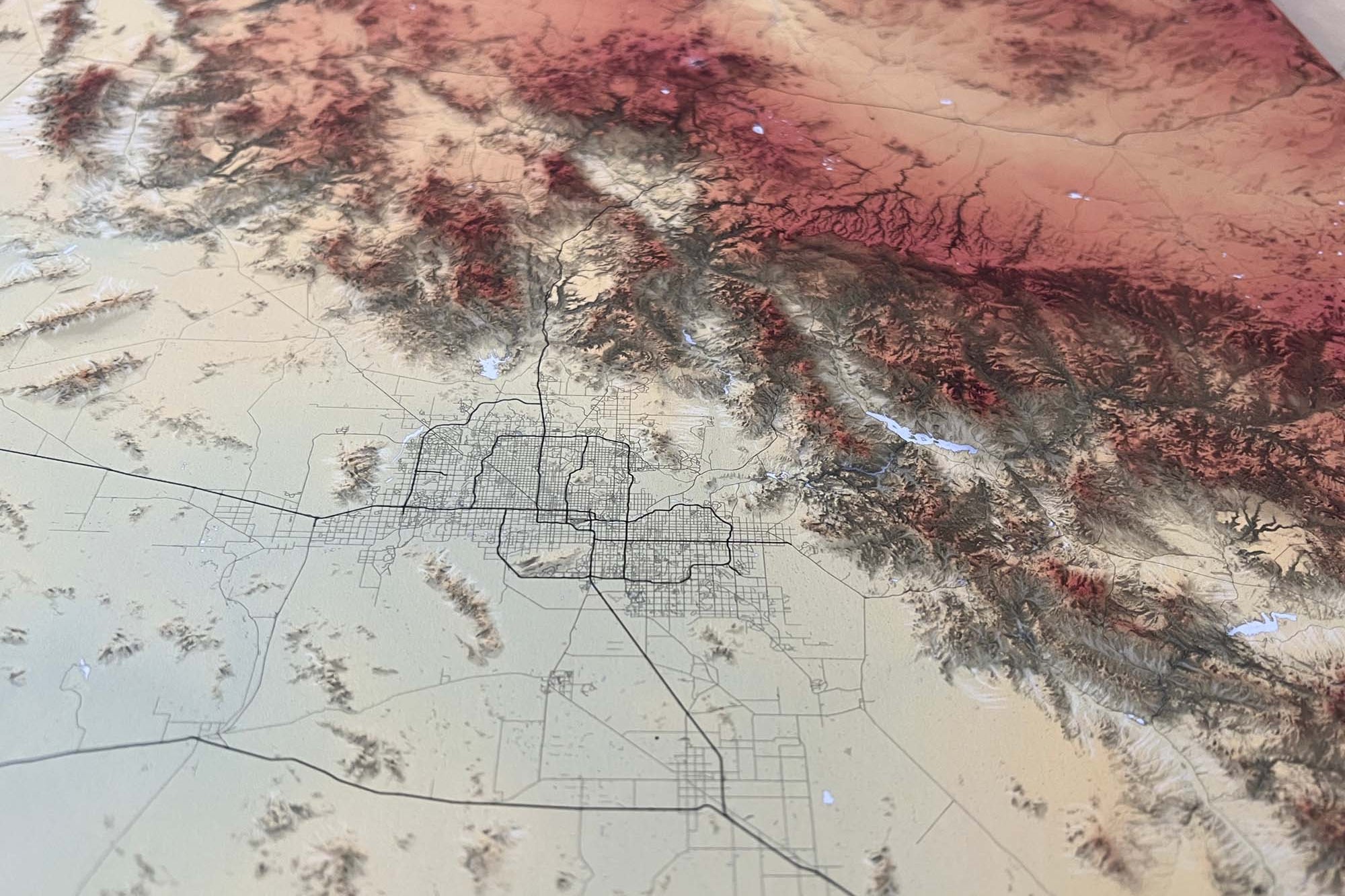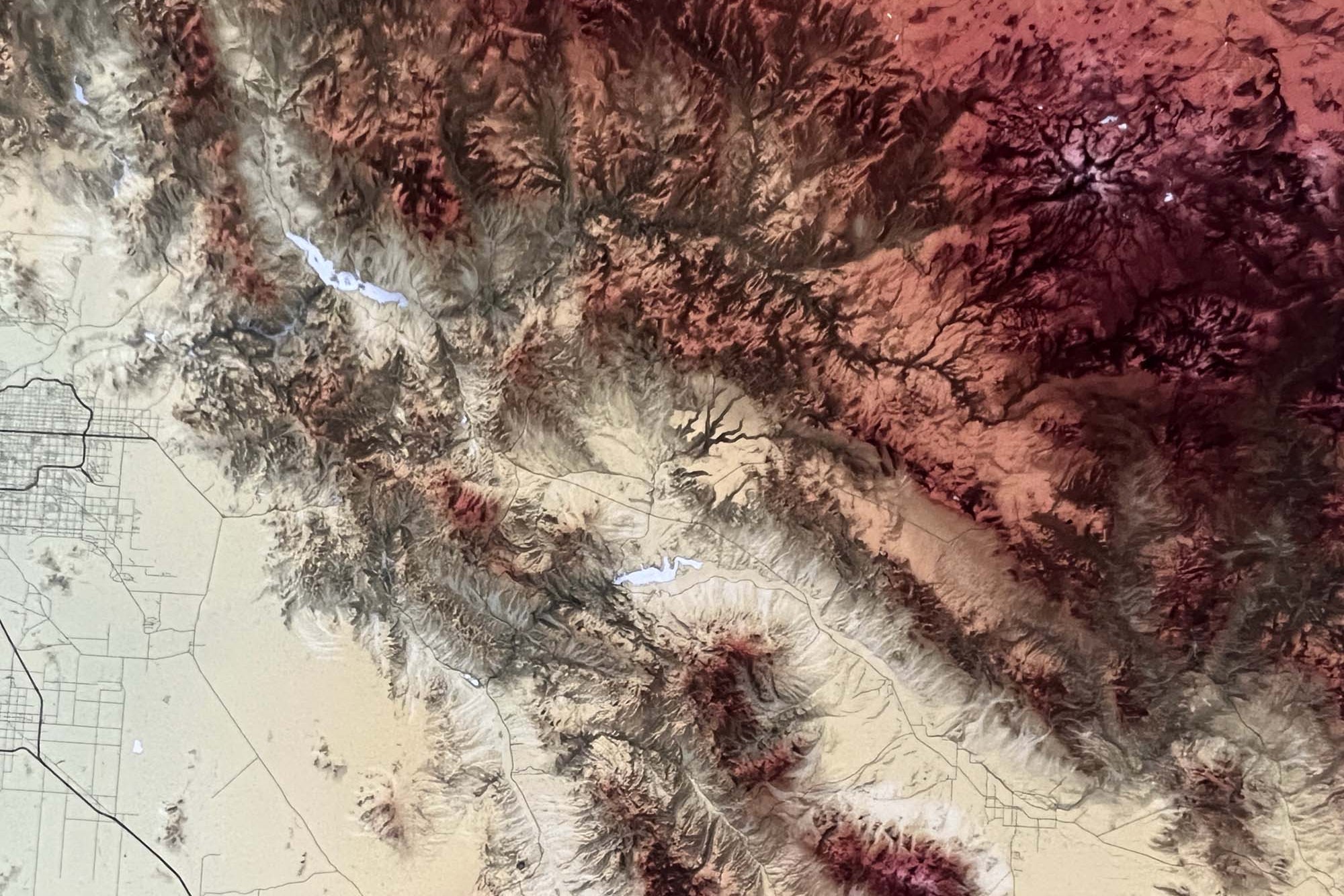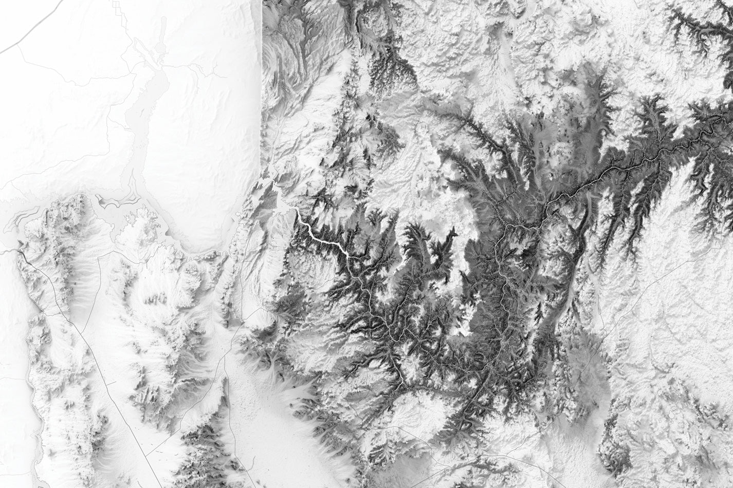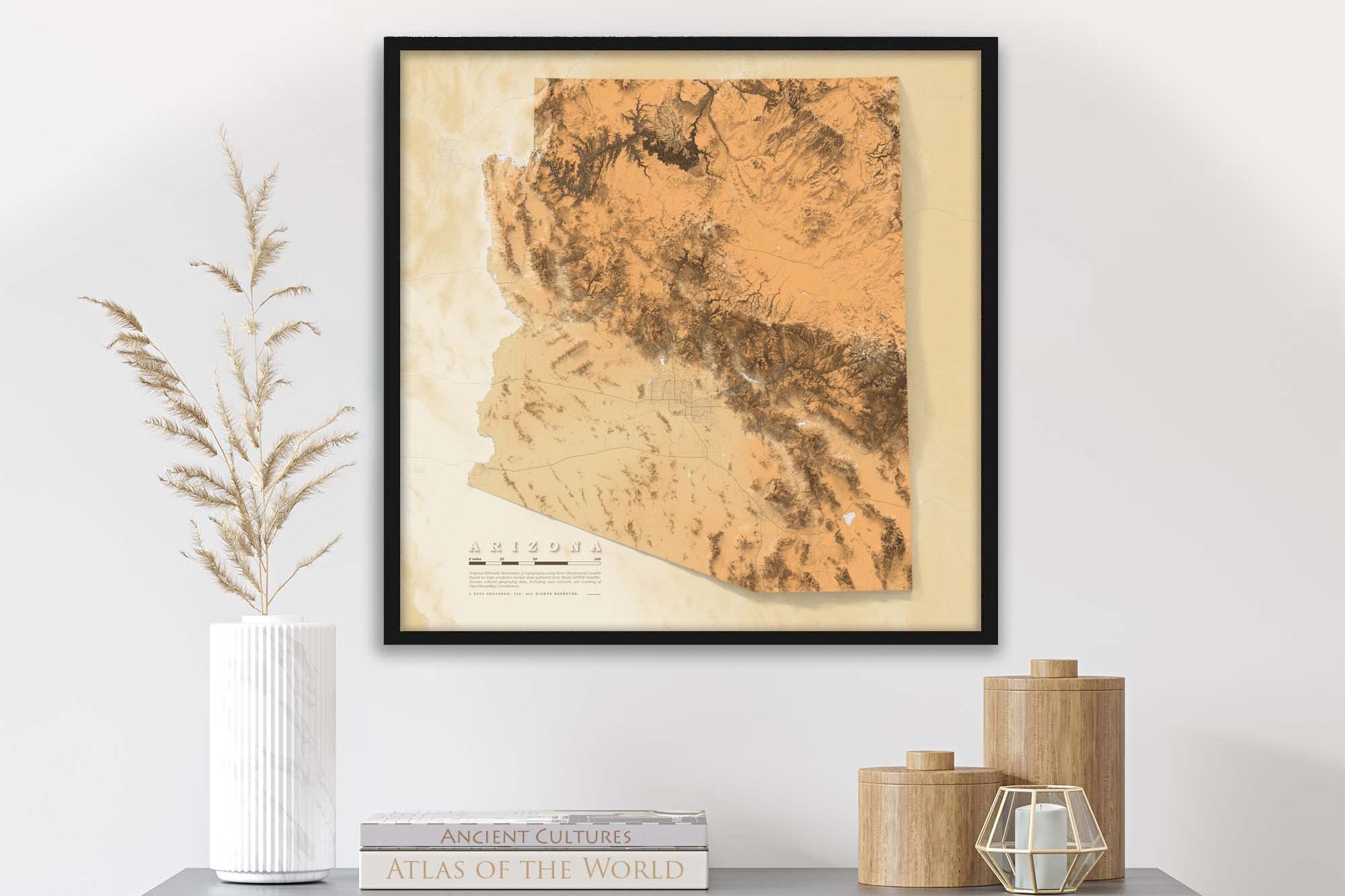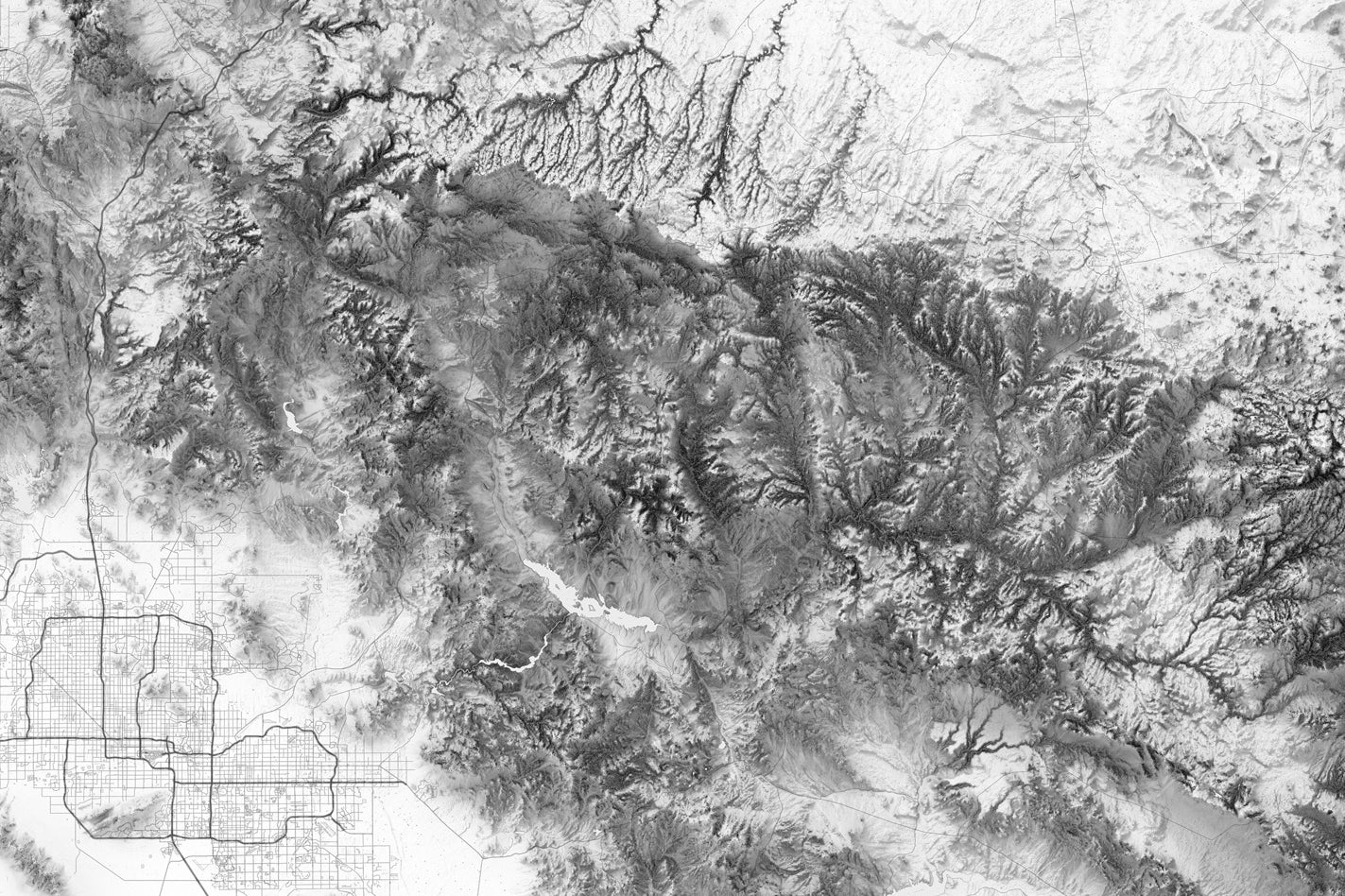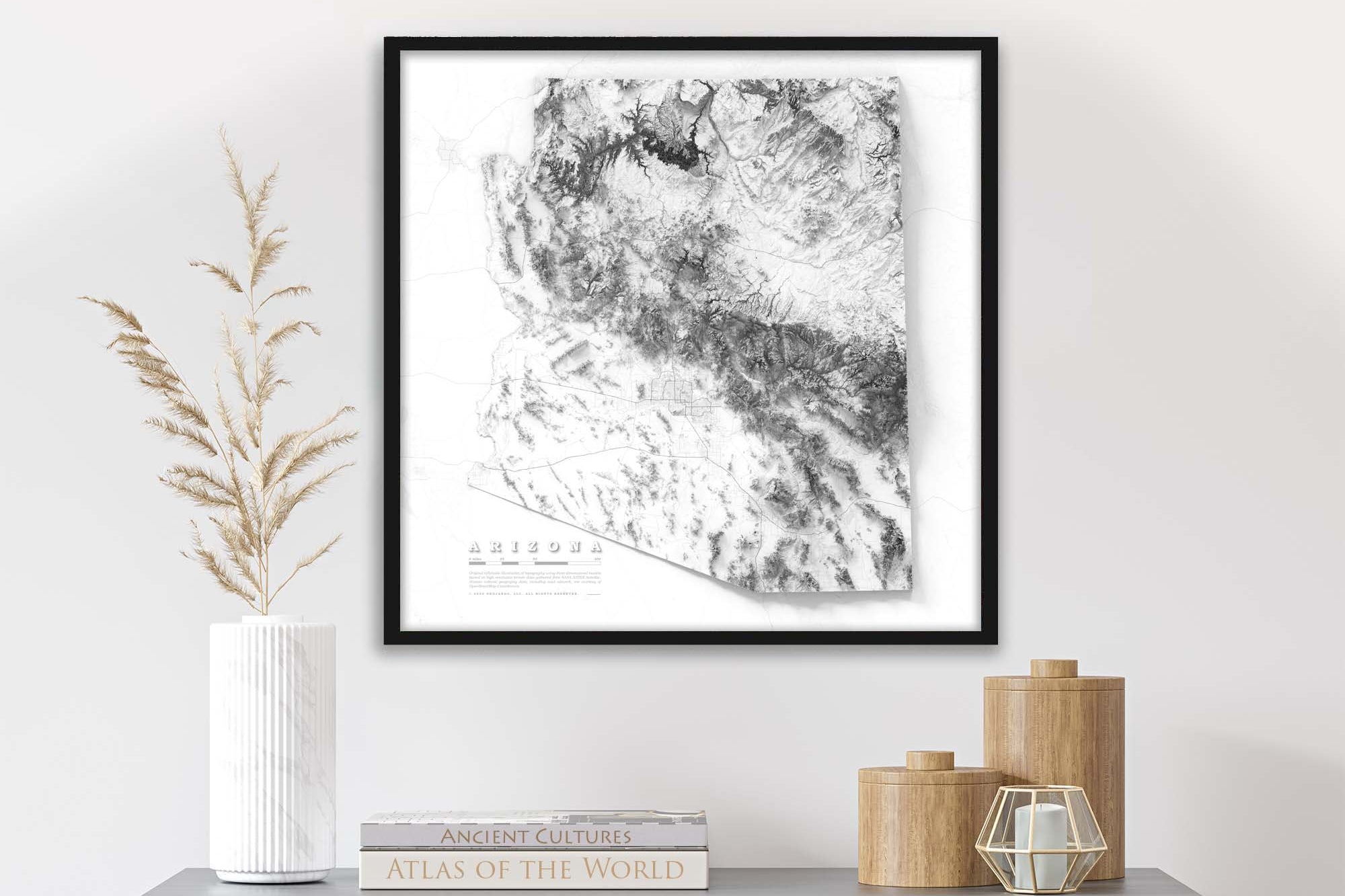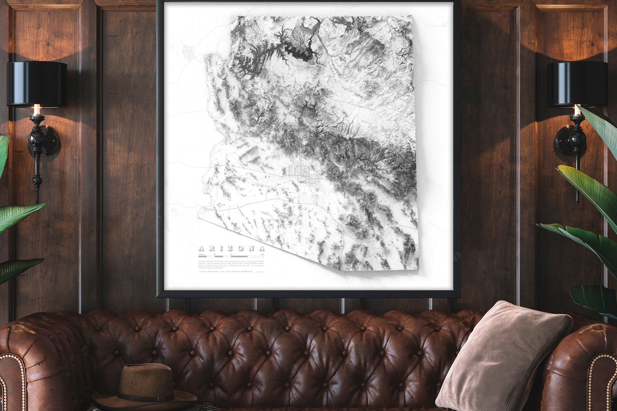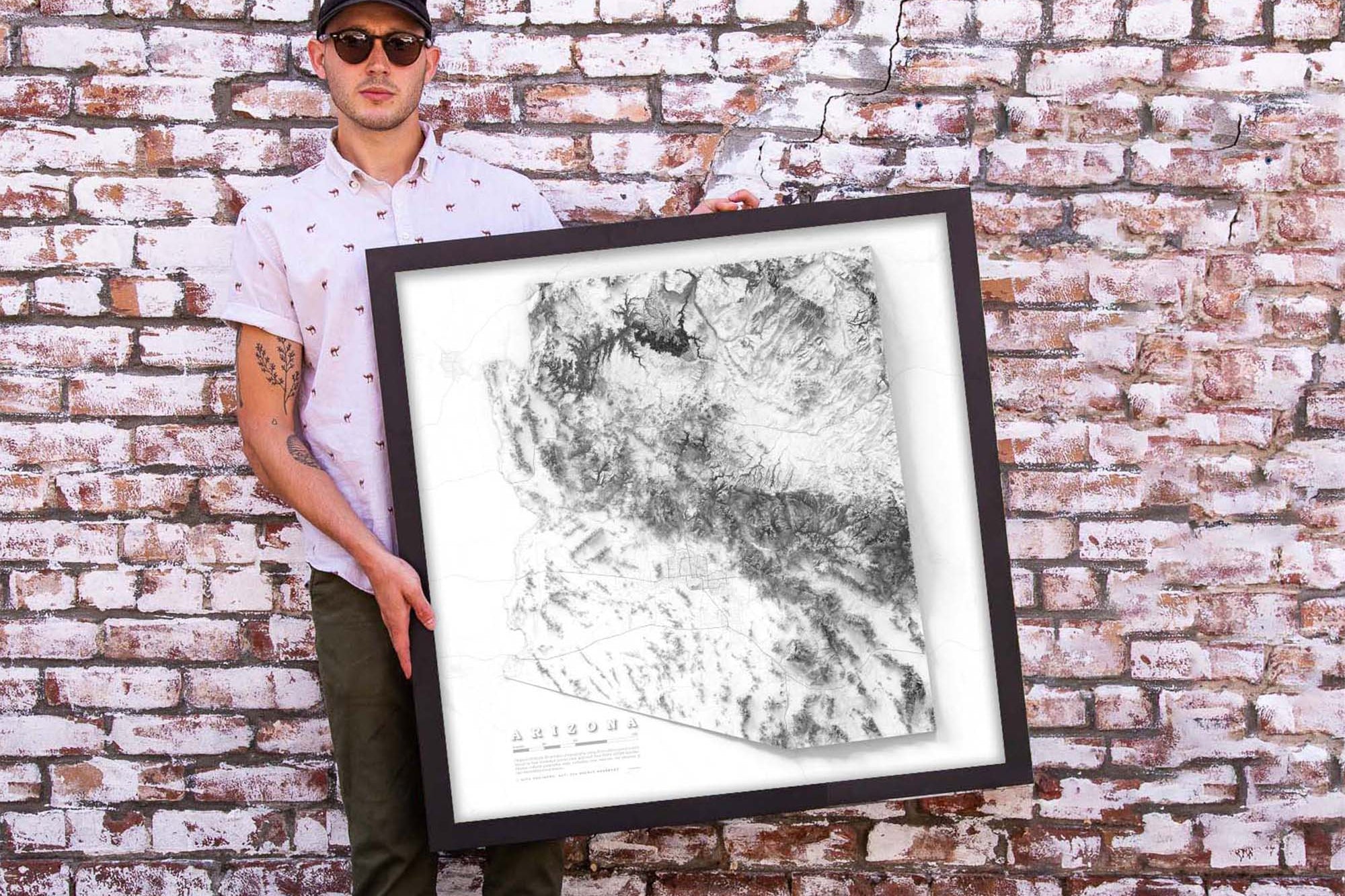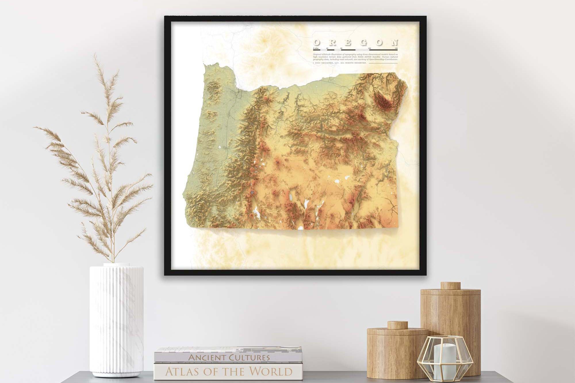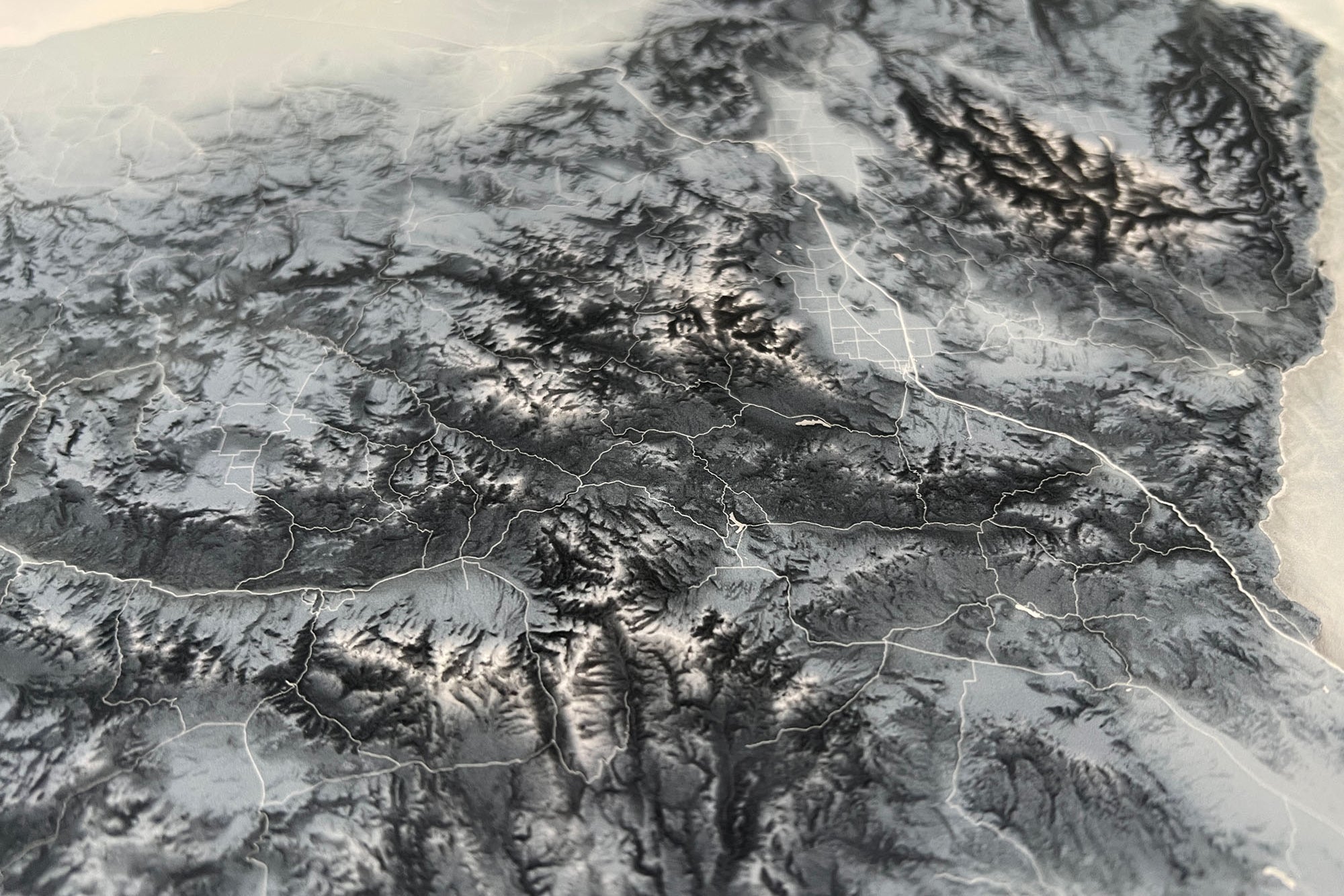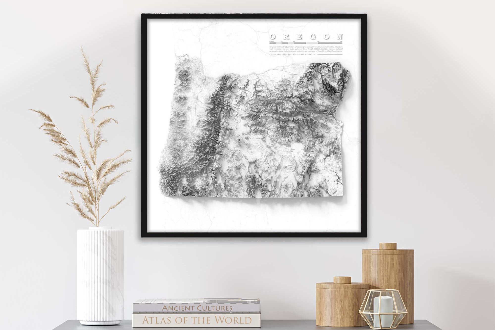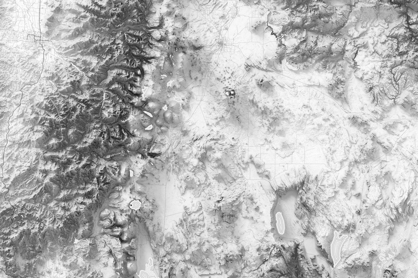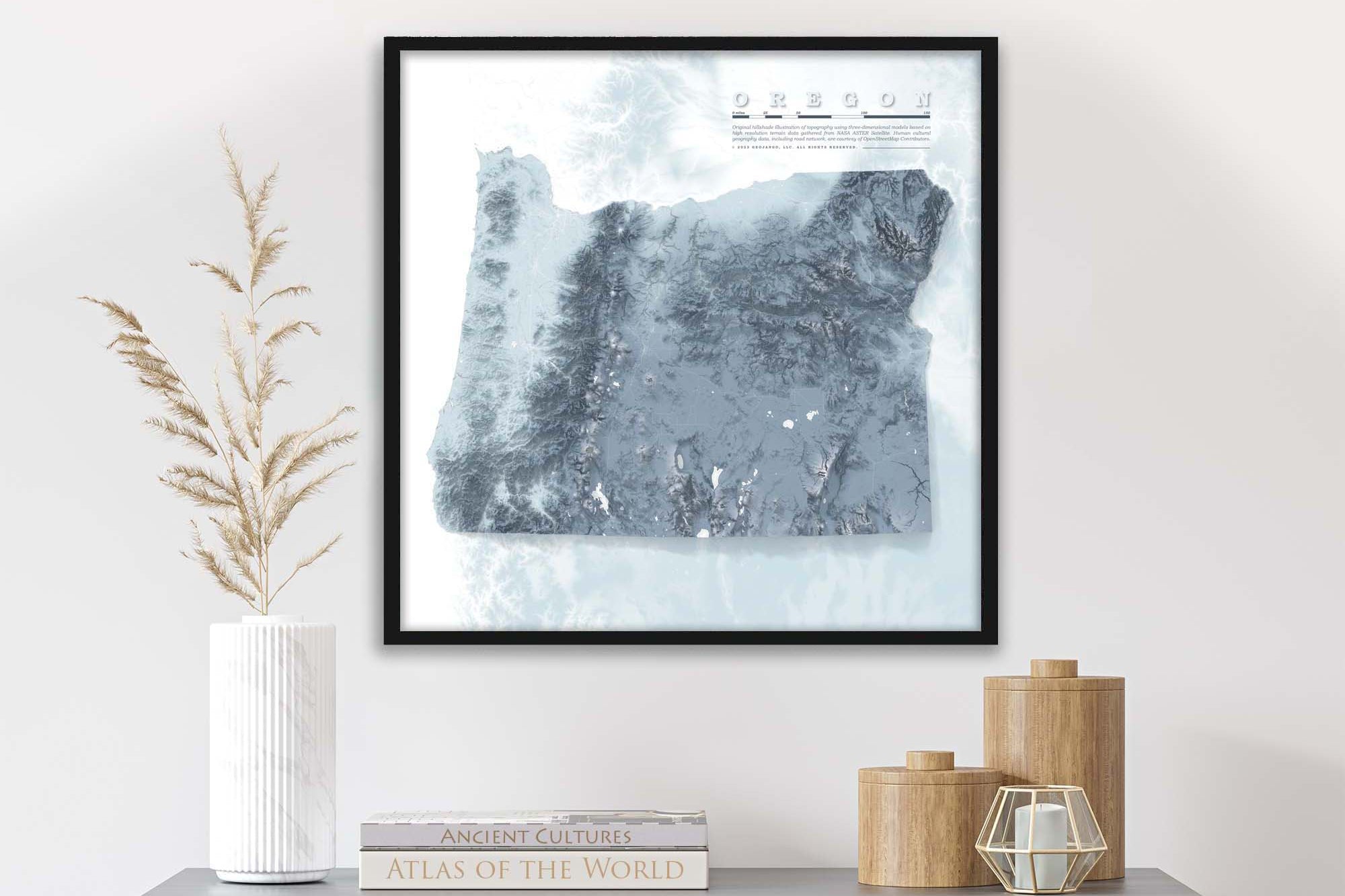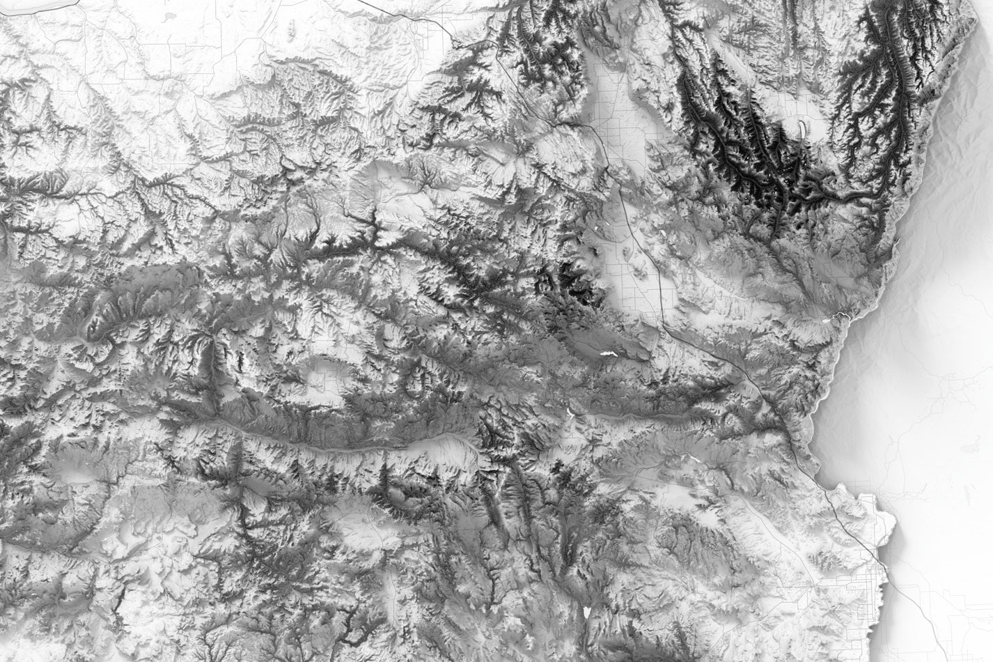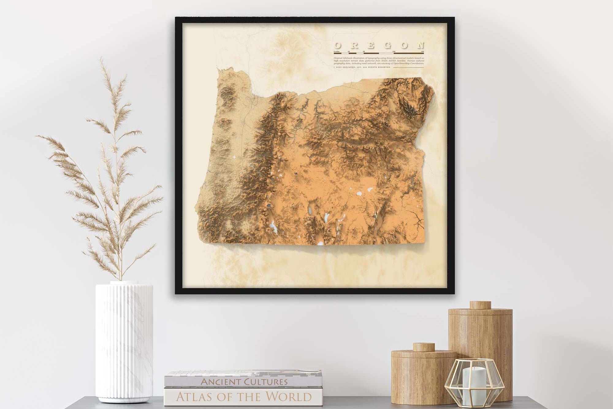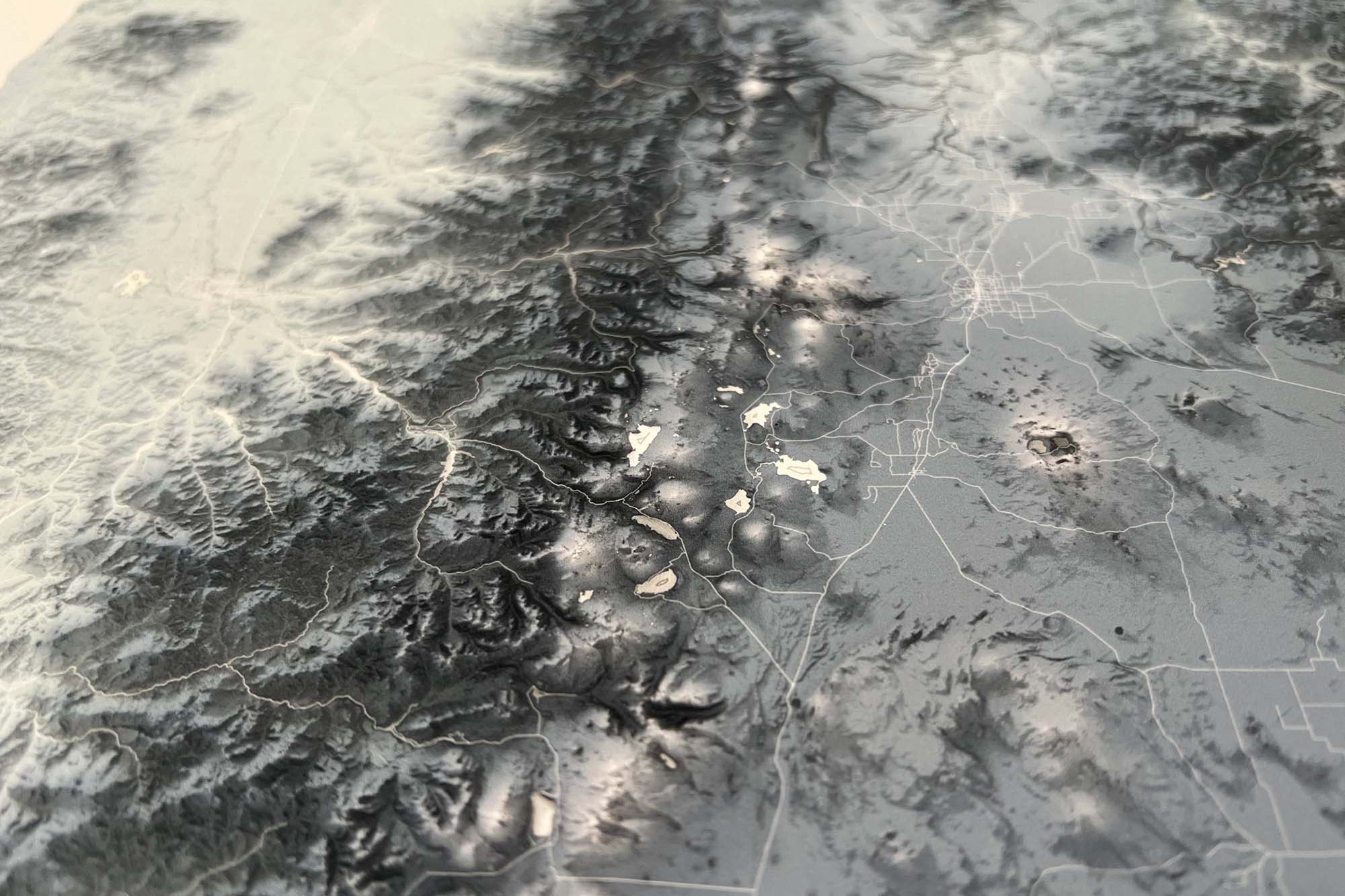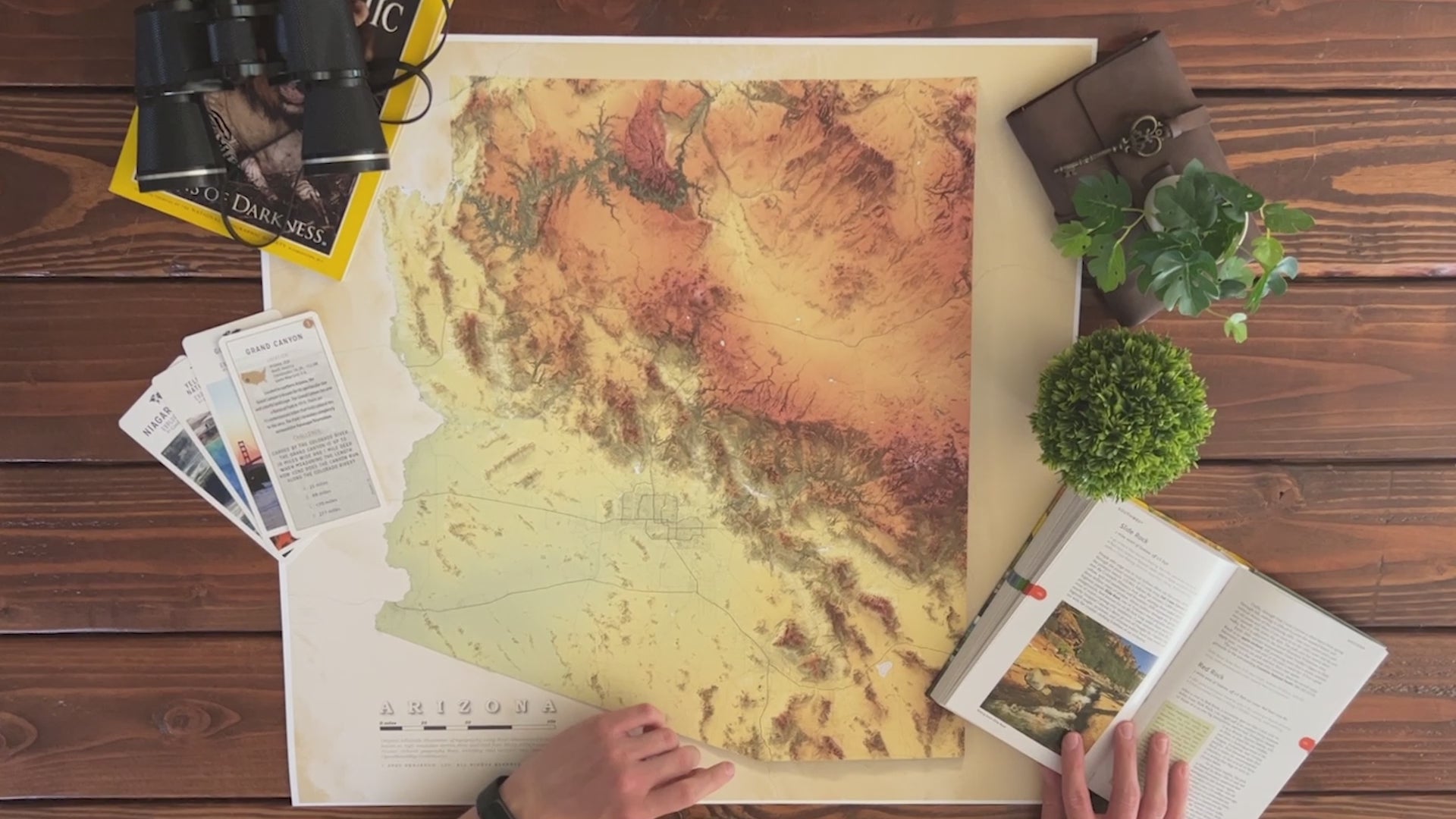


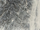
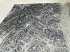

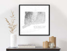


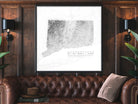

About the Map: Introducing our stunning fine art print of Connecticut's elevation map—a must-have for any geography or map enthusiast! This exquisite piece of artwork meticulously portrays Connecticut's topographical intricacies, capturing the state's highest peaks and lowest valleys with remarkable precision.
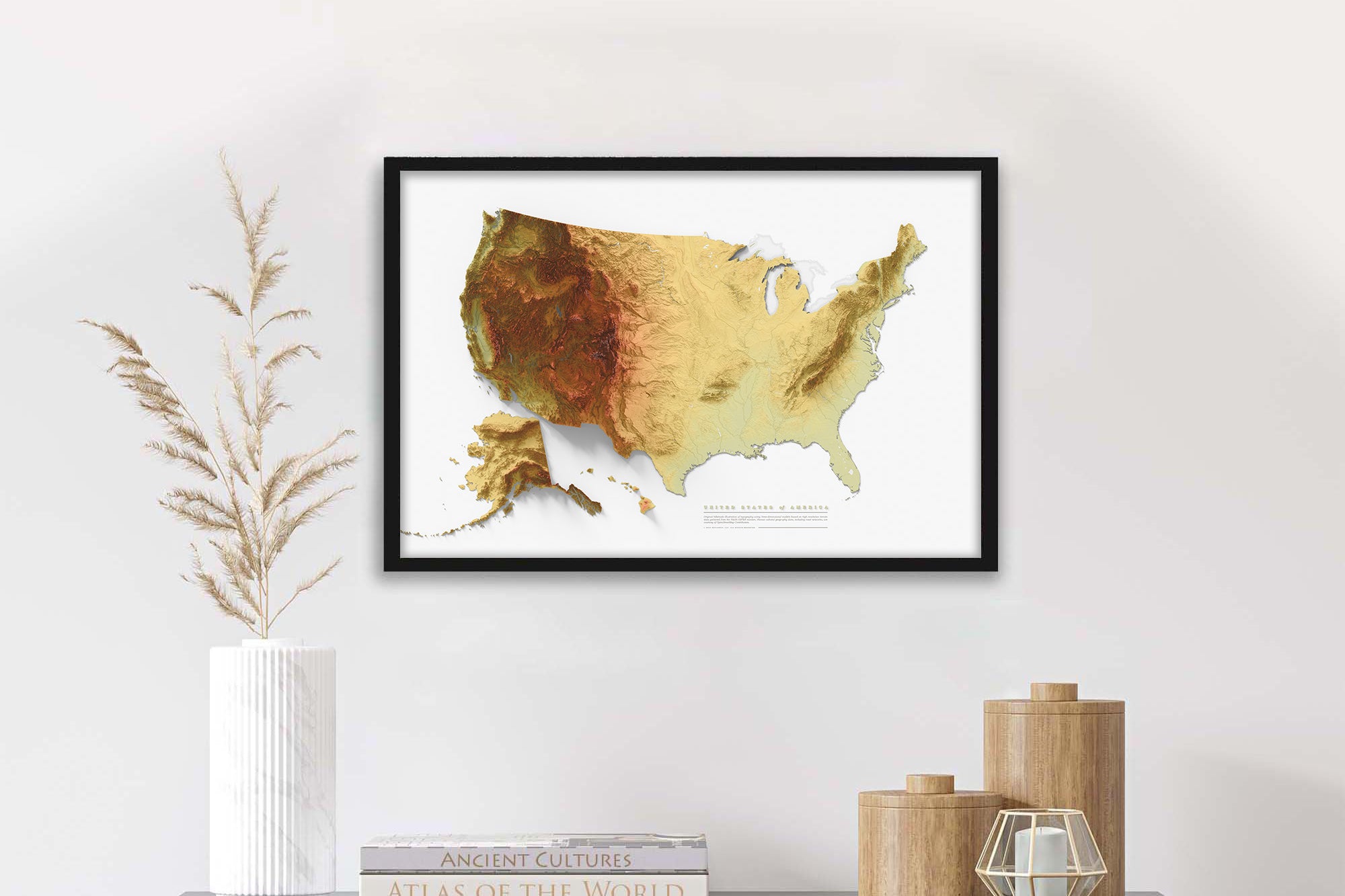
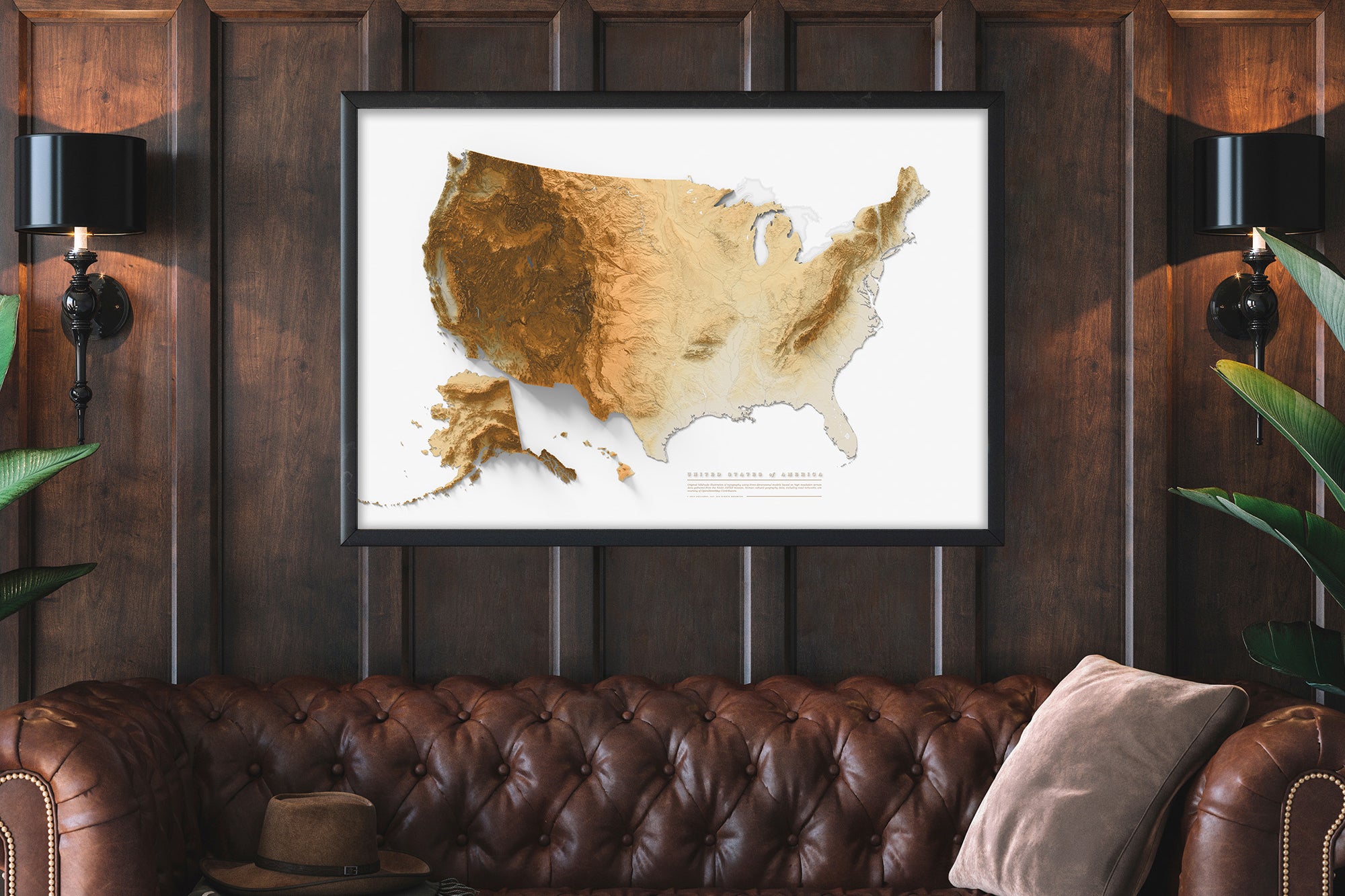
Blending both aesthetic appeal and practicality, our Connecticut elevation map is a versatile addition to various settings. Whether you're adorning your home or office, or seeking a distinctive and heartfelt gift for a dear one, this fine art print promises to leave a lasting impression.
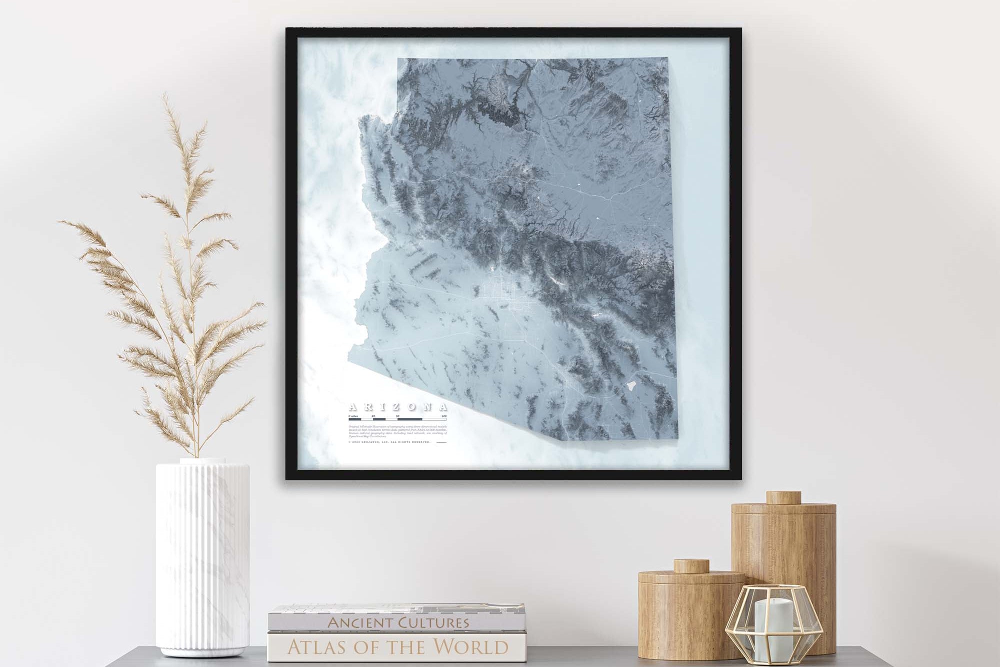
Don't wait; secure your Connecticut elevation map fine art print today and immerse yourself in the unparalleled beauty and detail of this remarkable state! Choose between a framed map or print to suit your preferences.
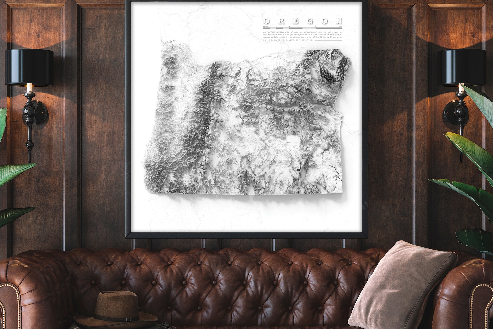
Beautiful & Informative Map Wall Art: Group your favorite states together to create a beautiful display in your office or home.
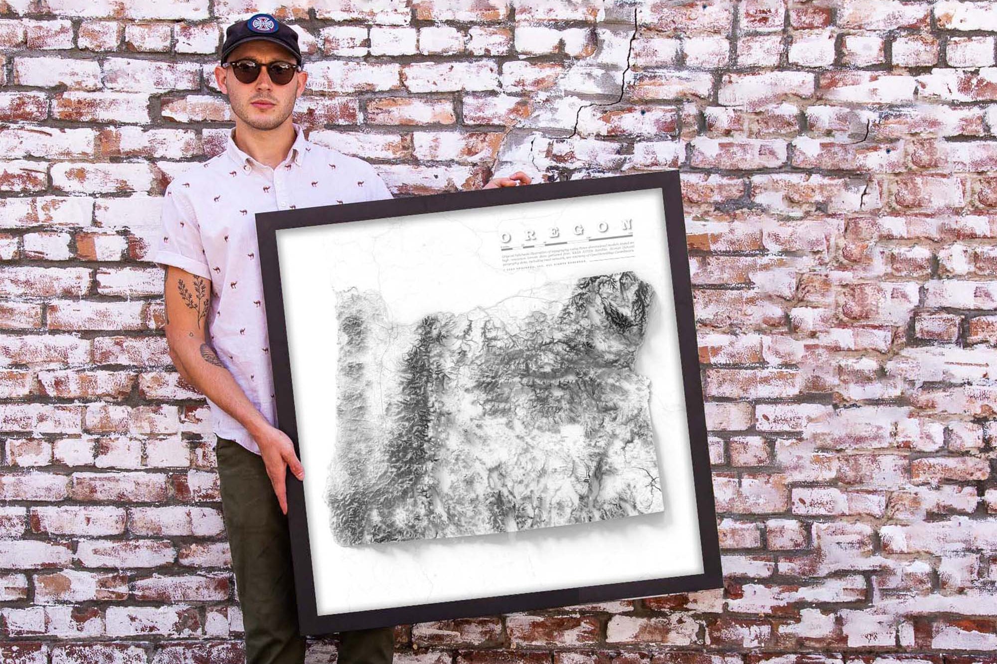
Product Format: This is a flat map with rich terrain depth to visualize the landscape. Although it looks 3-Dimensional it is produced as a flat map.
Frame Selection: Black Frame