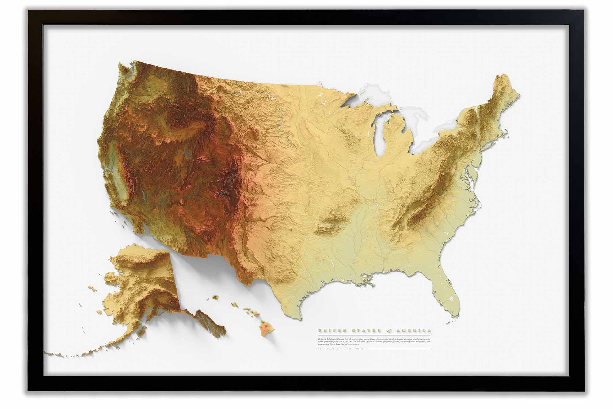
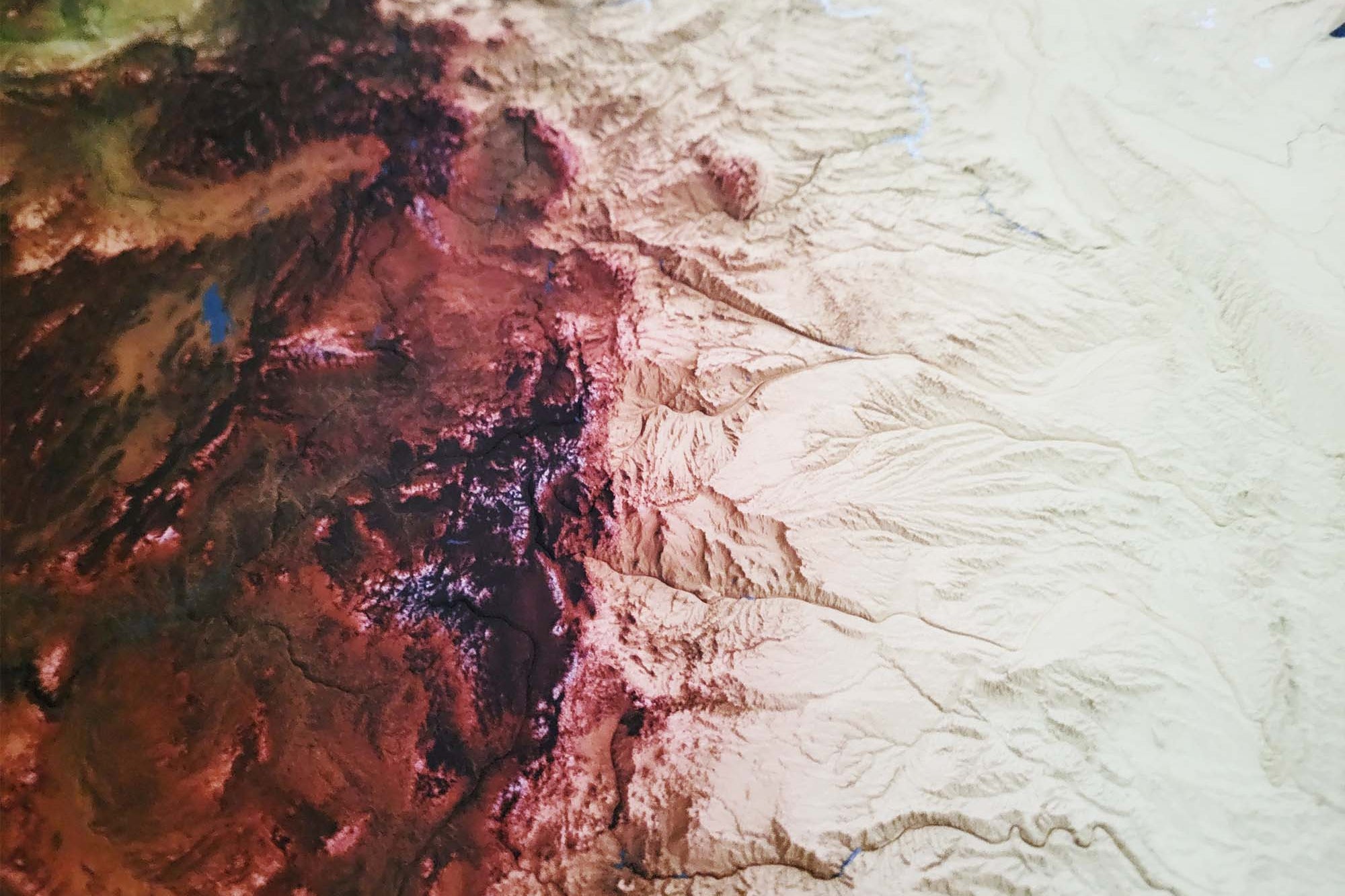
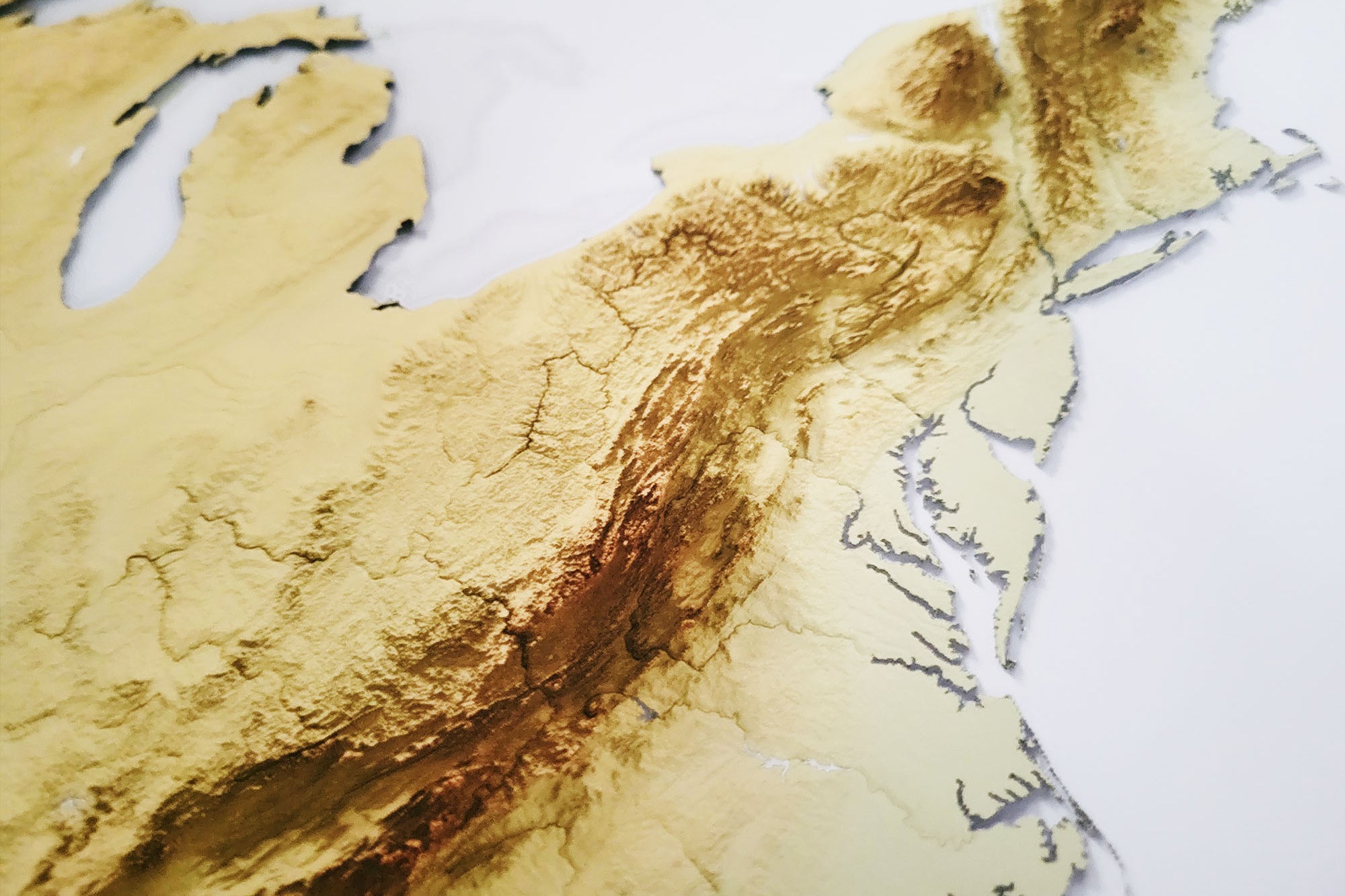
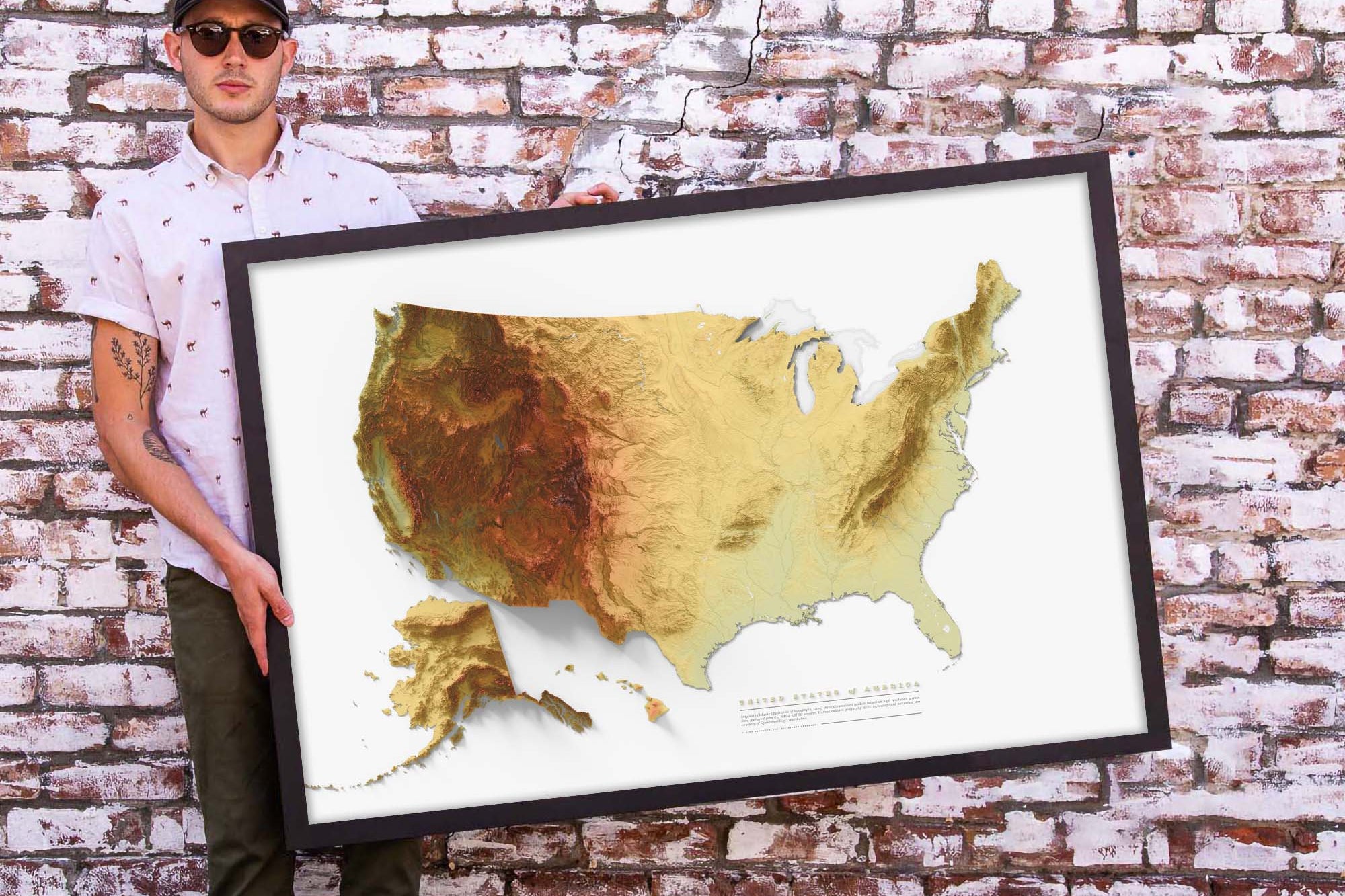
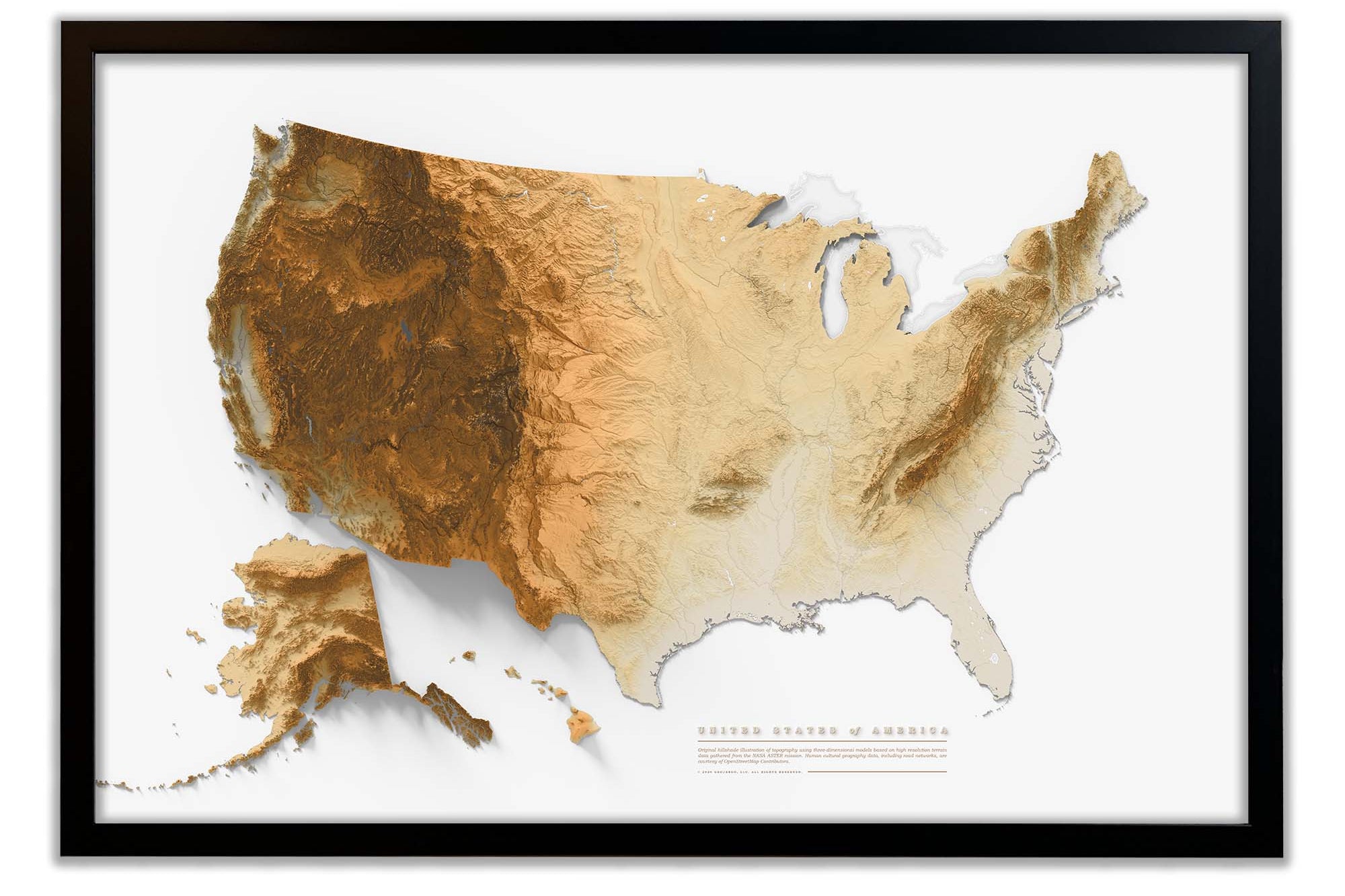
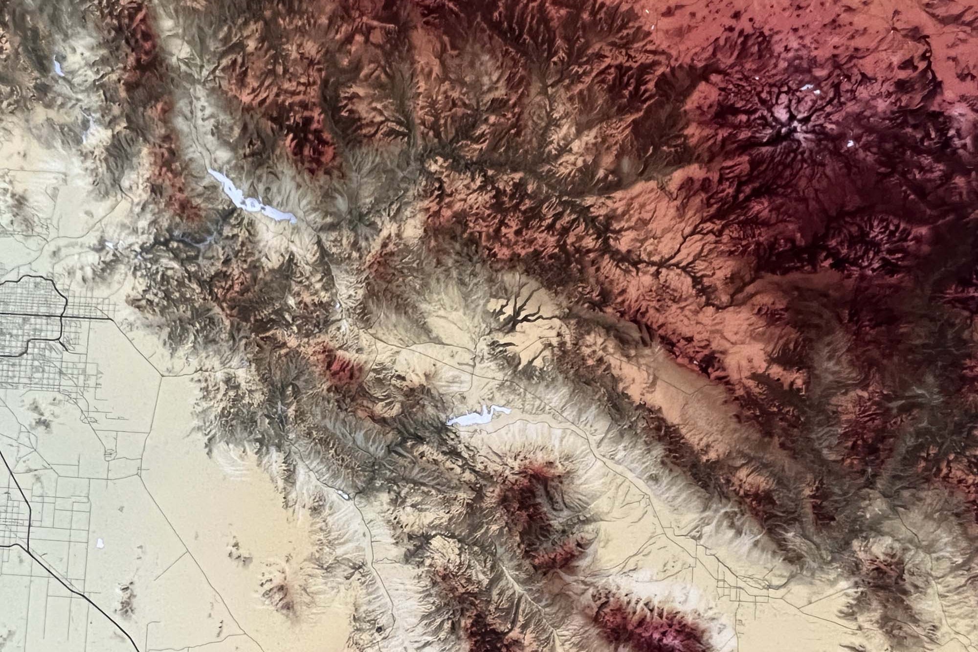
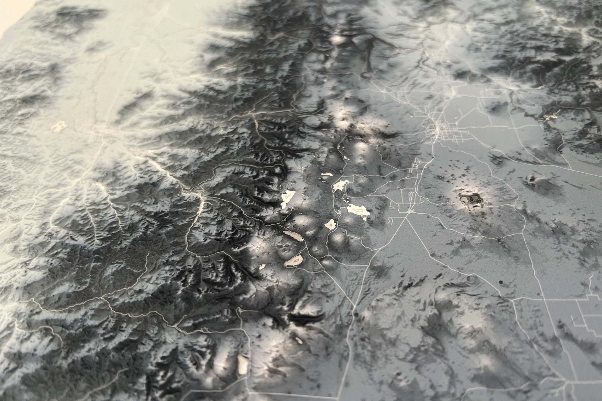
Elevation Map of New York Shaded Relief Wall Art

$69.00

Topographic Map of New York Shaded Relief Map

Explore the big apple with this impressive topographic map of New York. The map displays the eastern part of the state which is dominated by the Appalachian Mountains, including the Catskill Mountains and the Adirondack Mountains. These mountain ranges are known for their scenic beauty, with forests, lakes, and rivers dotting the landscape.

This New York beautiful elevation map showcases the state's varied topography, with the mountain ranges, lakes, rivers, and coastline all represented. It provides a visual representation of the state's elevation changes, from the high peaks of the Adirondacks to the coastal plains along the Atlantic Ocean. See how the Hudson River runs through the heart of the state, from the Adirondack Mountains to the Atlantic Ocean.

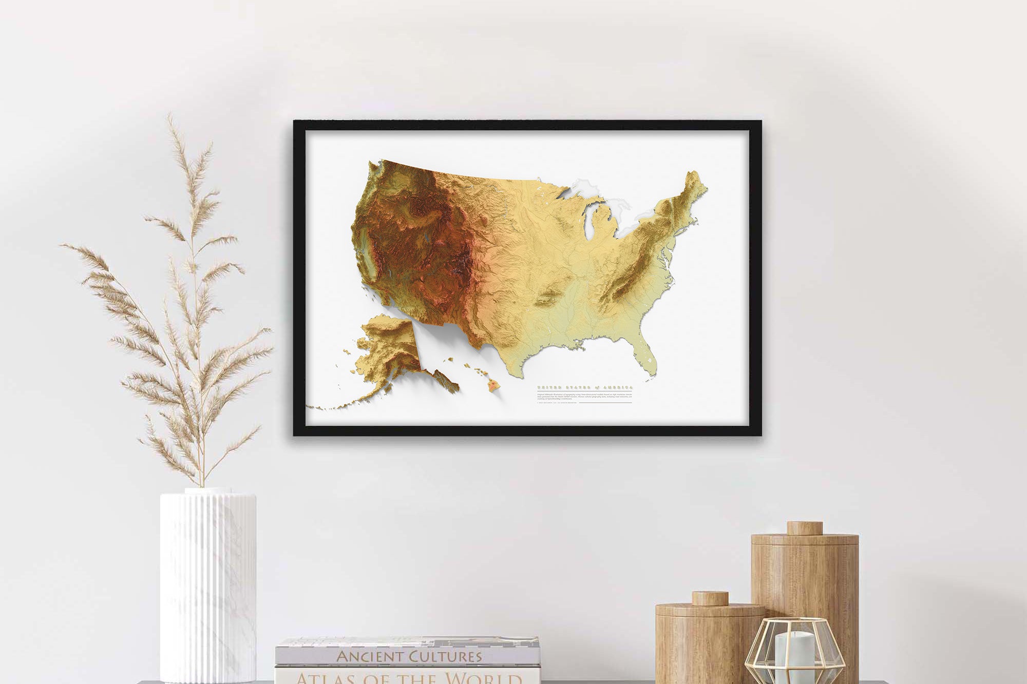
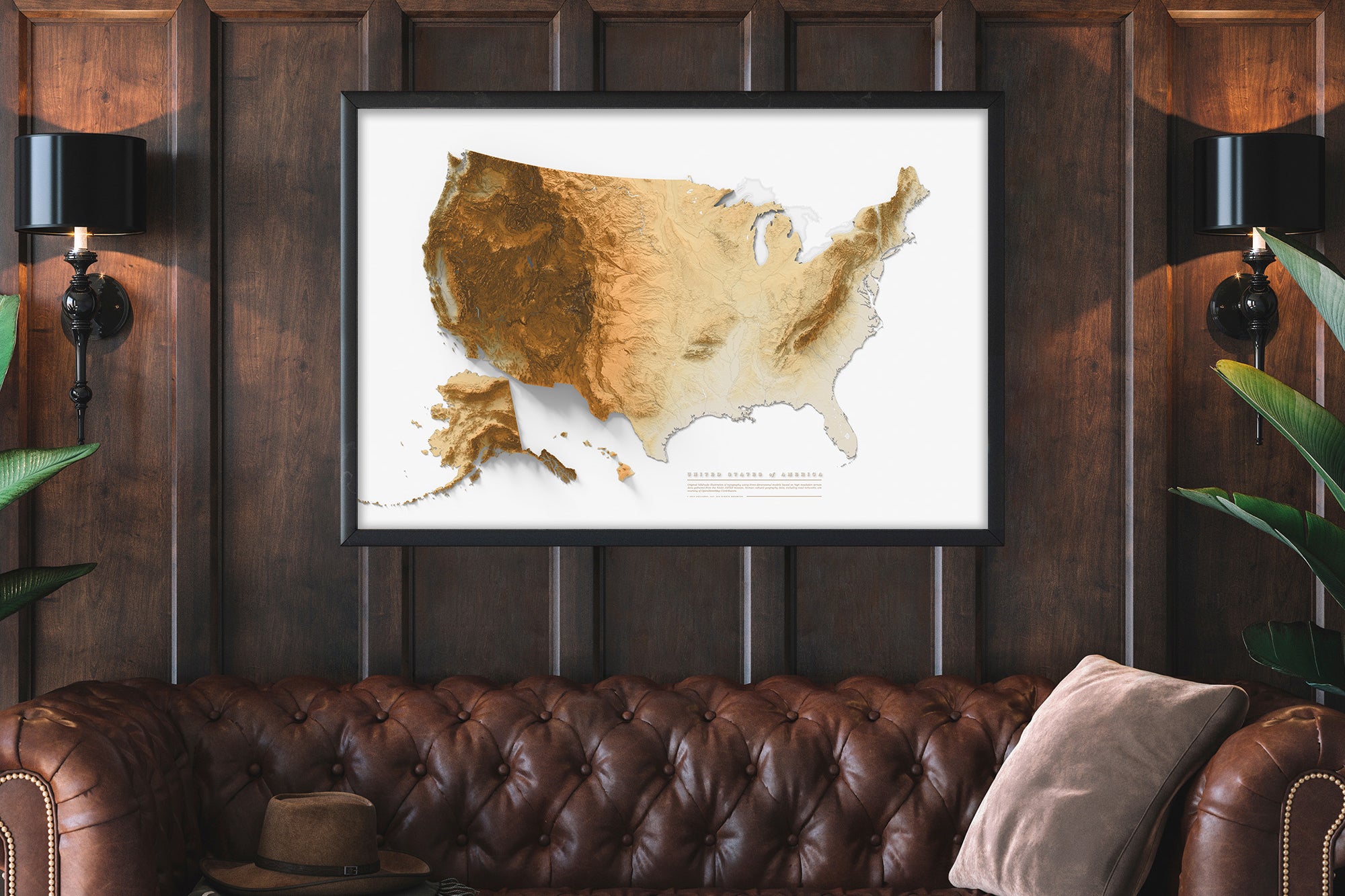
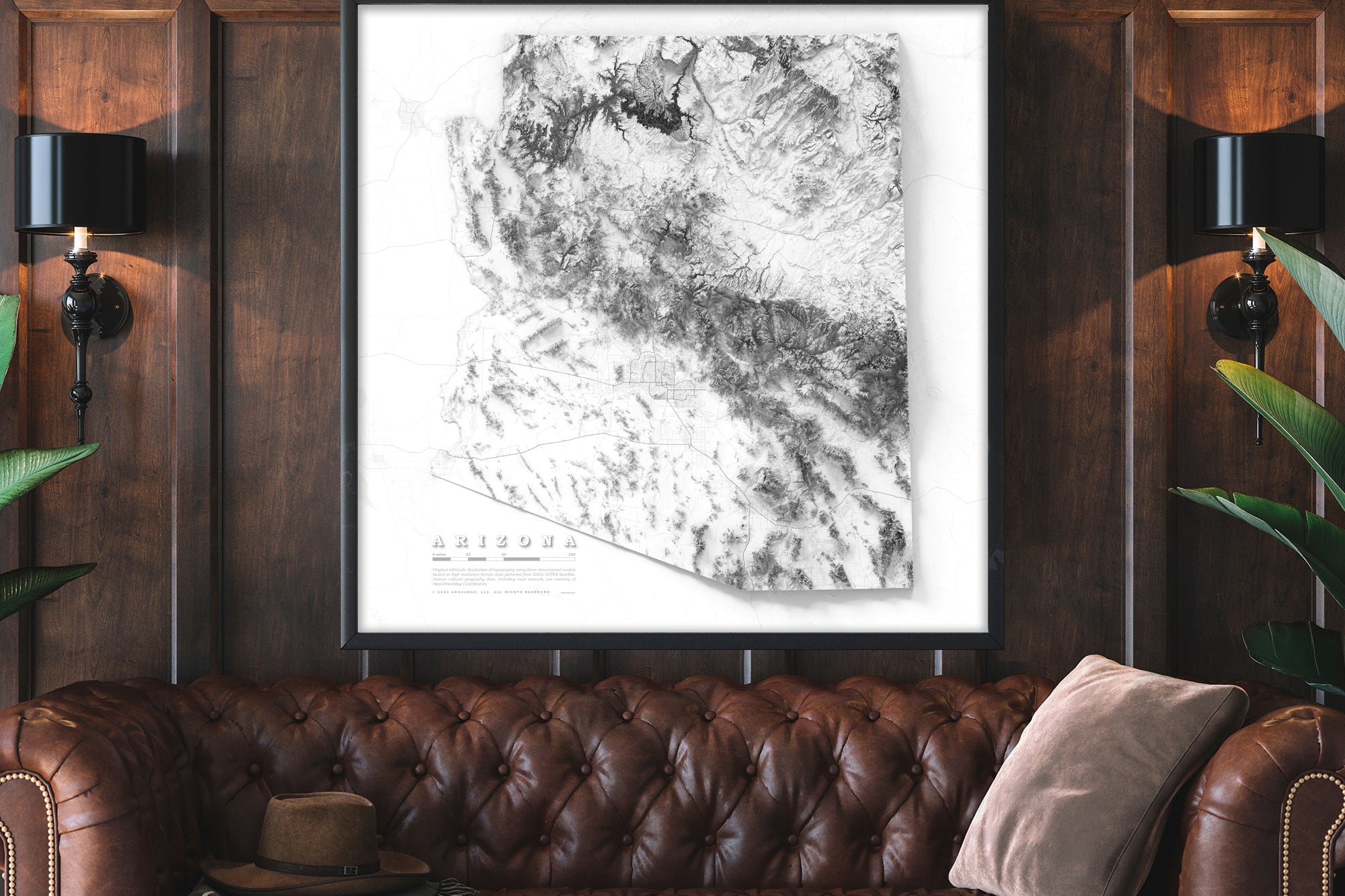
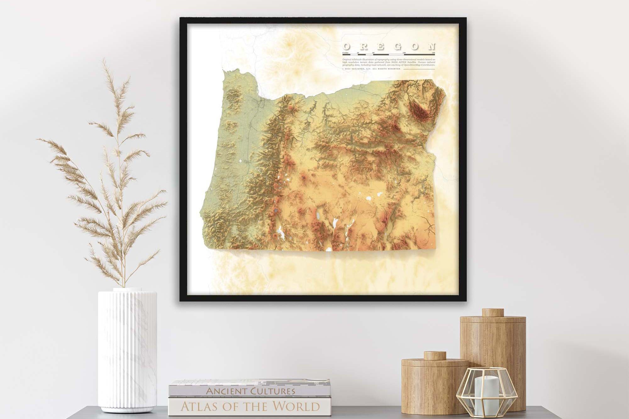
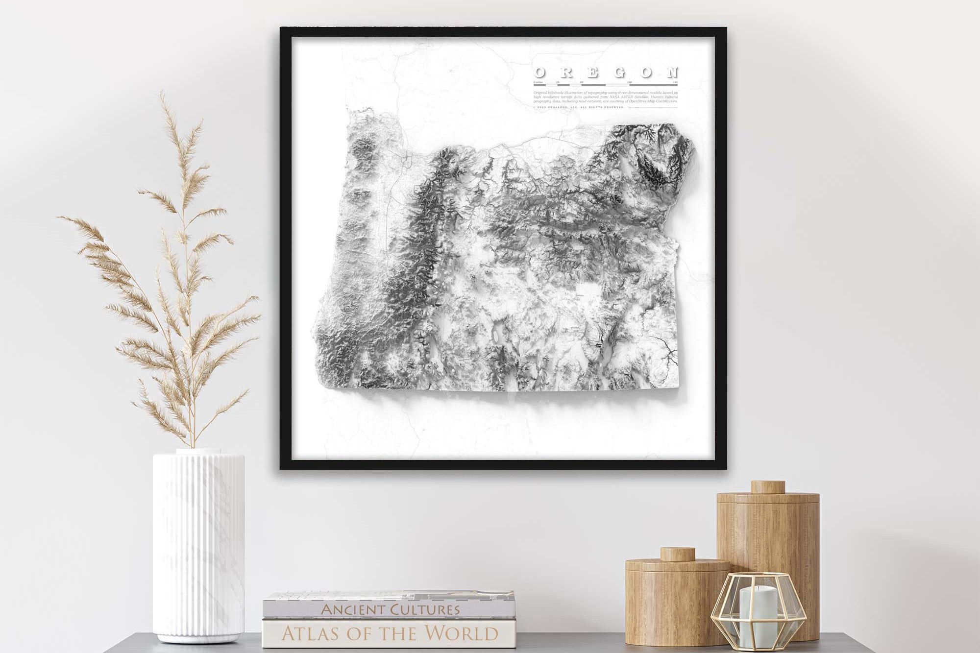
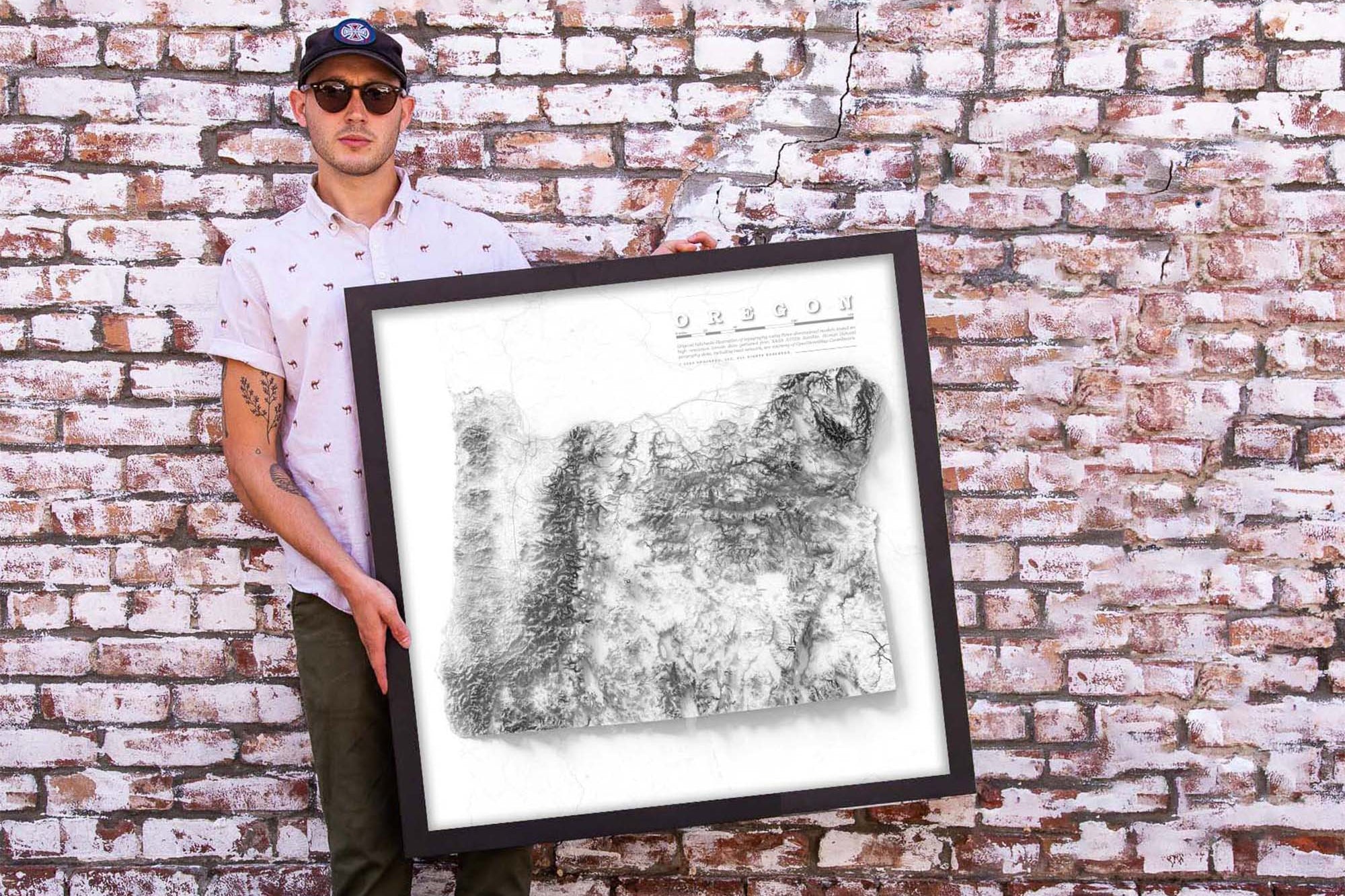
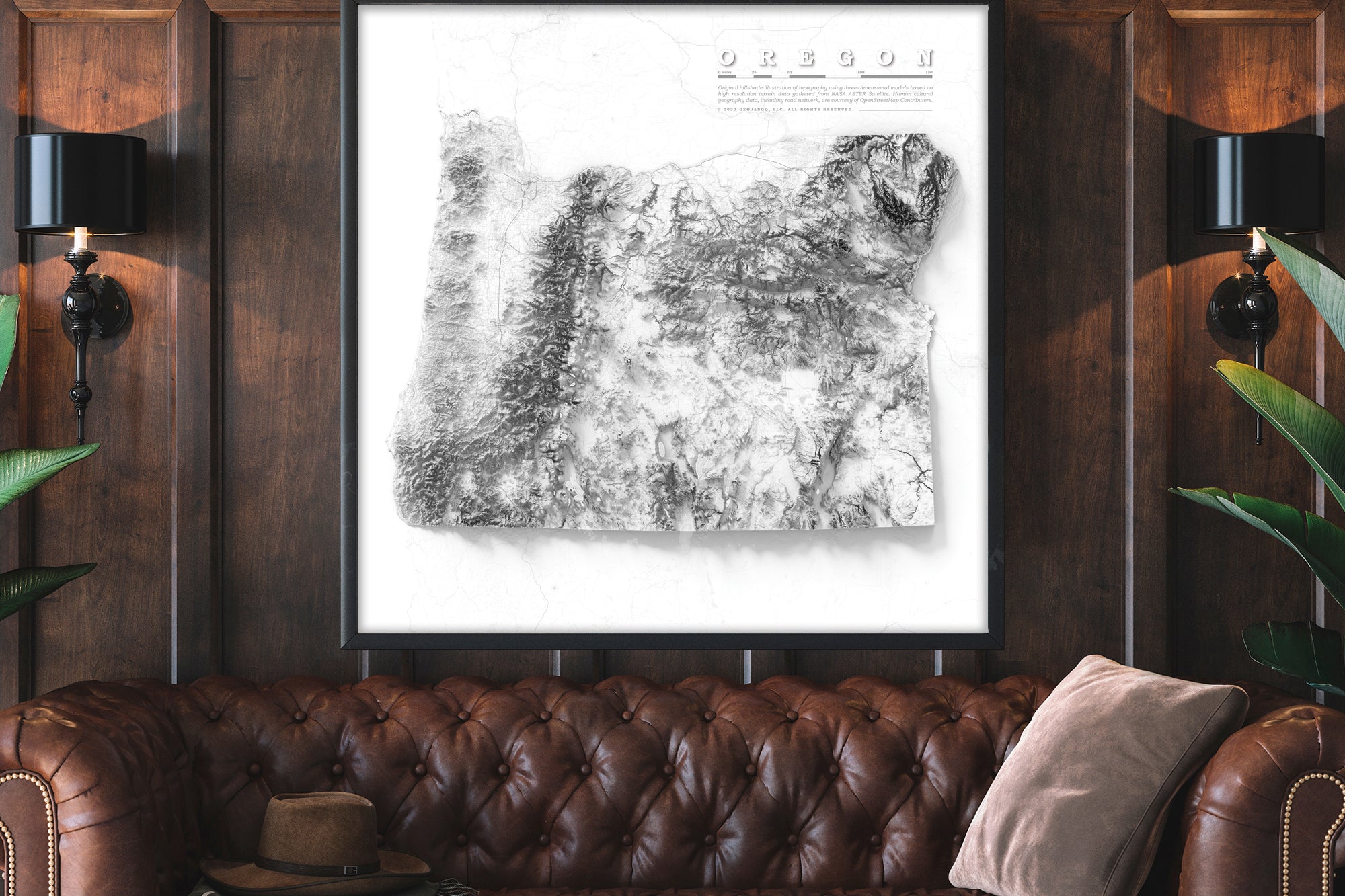
Whether you're planning your next vacation or decorating your home, this map will be a great addition to any wall space.

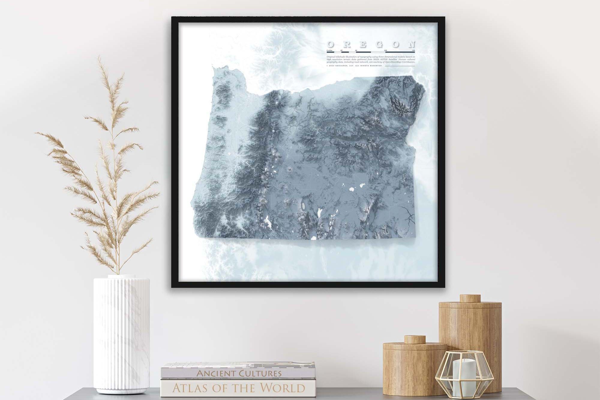
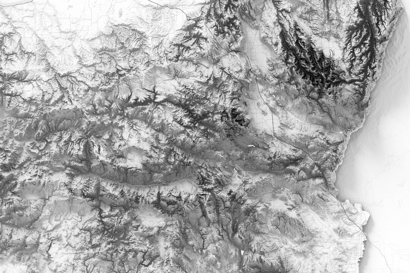
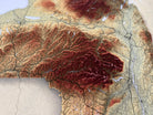
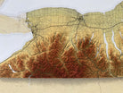
About the Map: This New York map uses detailed terrain and landscape modeling design. The detailed information throughout this map is the result of years of geographic research and created by a professional Cartographer/Geographer.
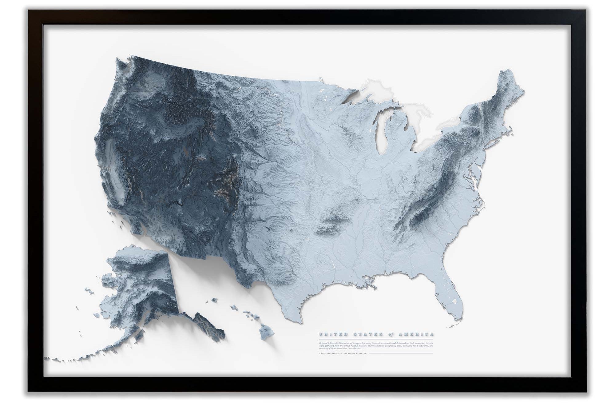
Product Format: This a flat map with rich terrain depth to visualize the landscape. Although it looks 3-Dimensional it is produced as a flat map.

Geographical Data:  Our New York wall art map was created using a combination of satellites and developed entirely using numbers, measurements, and GIS software.  

We use the USGS LandSat satellite to visualize the landscape on land and NOAA's bathymetry data to visualize the elevation and topography of the sea floor. The famous Space Shuttle Radiometric Topographic Mission, SRTM Data, is used to gather the elevation height for the land. With the data, we applied a hill shade to visualize the shading effects (at 3 p.m. every where on Earth). This is most visible in the largest mountain regions.

Beautiful & Informative Map Wall Art: Group your favorite states together to create a beautiful display in your office or home.

Learn More: Checkout our blog on Shaded Relief Maps to learn more about the art and science that goes into creating these beautiful maps.

A Great Gift for: Travelers, Adventures, and geography enthusiasts. An impressive wedding or anniversary gift for New York travel lovers. The content is recommended for adults and youth who would like to learn more about New York.

Environmental Wall Art:   Group your favorite states together to create a beautiful display in your lobby, office, or home.

Production and Shipping Times: The amount of time it takes for your map to arrive depends on where you live and how fast you approve the proof if you’ve ordered a custom map. See Production & Shipping.

Quality and Guarantee: We stand behind our work and guarantee the construction and quality. Contact us if you have any problems with your map and we will coordinate to ensure you are happy with your purchase.

Map Size vs. Outside Dimensions: Our sizing choices specify the size of the map itself. Our frame options will increase the overall size of your final product depending on your selection.

For example:

Maps sized 24 x 24 inches will total 25.75 x25.75 inches with the frame.

Maps sized 32 x 32 inches will total 33.75 x 33.75 inches with the frame.

Ready to Hang: The map is available as a canvas wrap or Framed Map with hanging hardware attached and ready to hang and enjoy right away.
We prepare the map using Fine Art Gilcee production techniques. The map is printed with archival inks on Fine Art Matte Finish paper for a museum-quality finish.

Our Special Finishing: We worked out every detail for our materials, craftsmanship and quality of our framed maps. Our frames are made nearby in Stockton, CA, by a craftsman using high-quality solid wood moldings. The finish of the framed map, from front to back, is created using with archival materials. Our premium acrylic glazing is custom fit and protects the map.  The result: the map is impressively made at every level.

Rolled Fine Art Print: We prepare the map using Fine Art Gilcee production techniques. The map is printed with archival inks on Fine Art Matte Finish paper for a museum-quality finish. We roll the map in a sturdy tube for shipping to provide a crease-less piece of art.