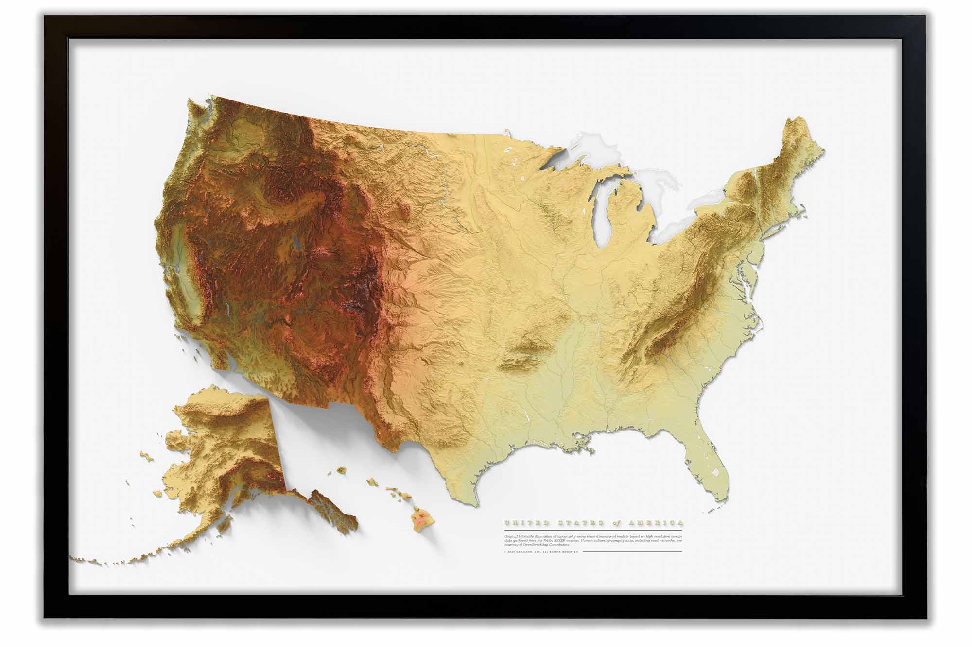
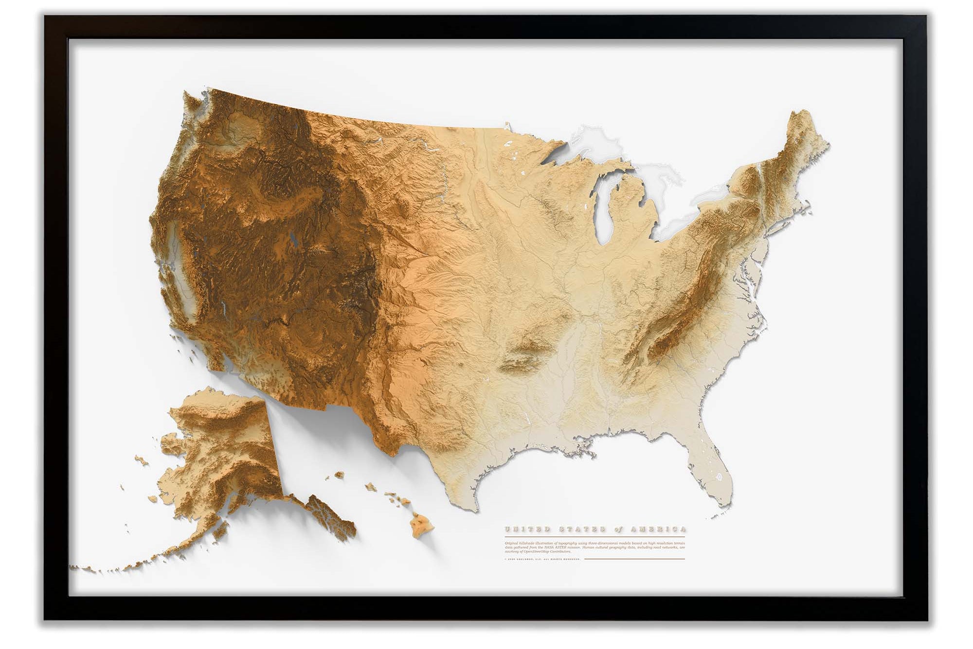
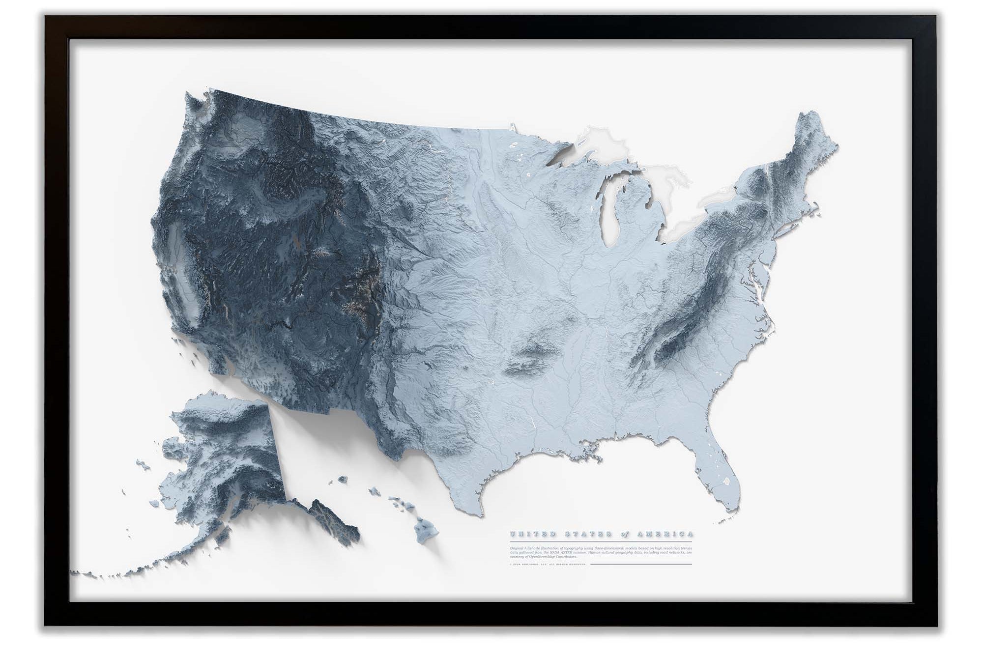
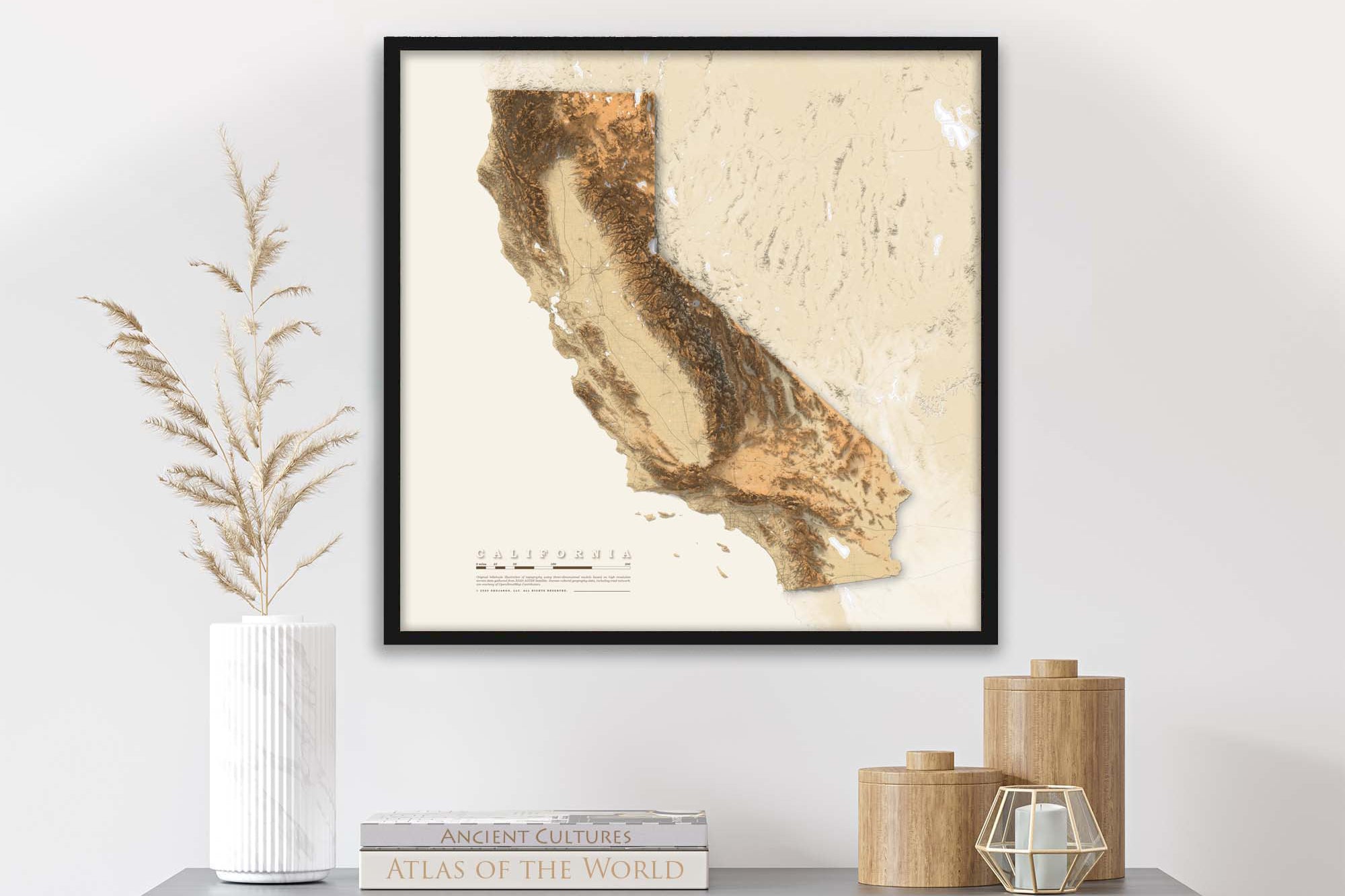
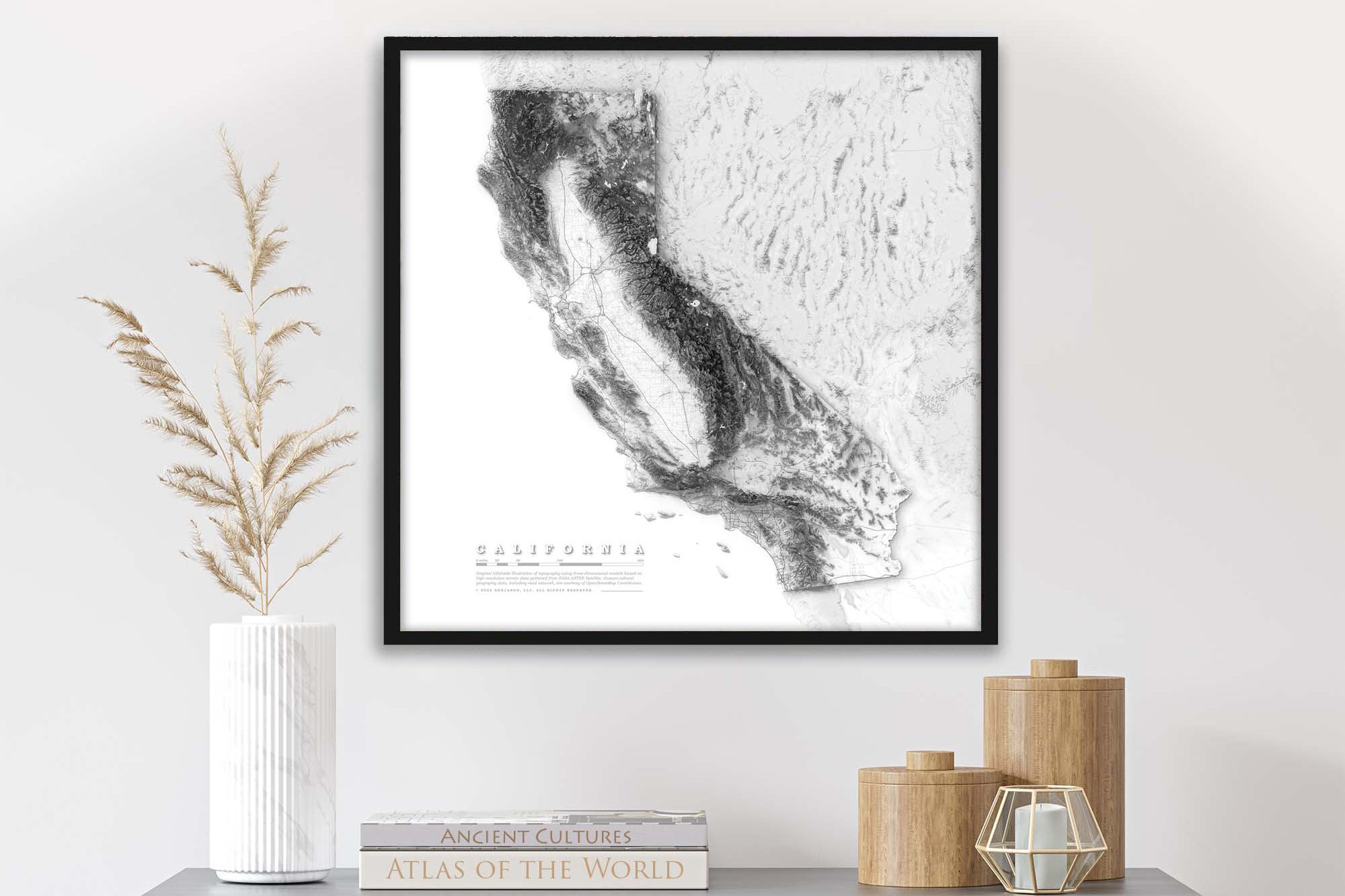
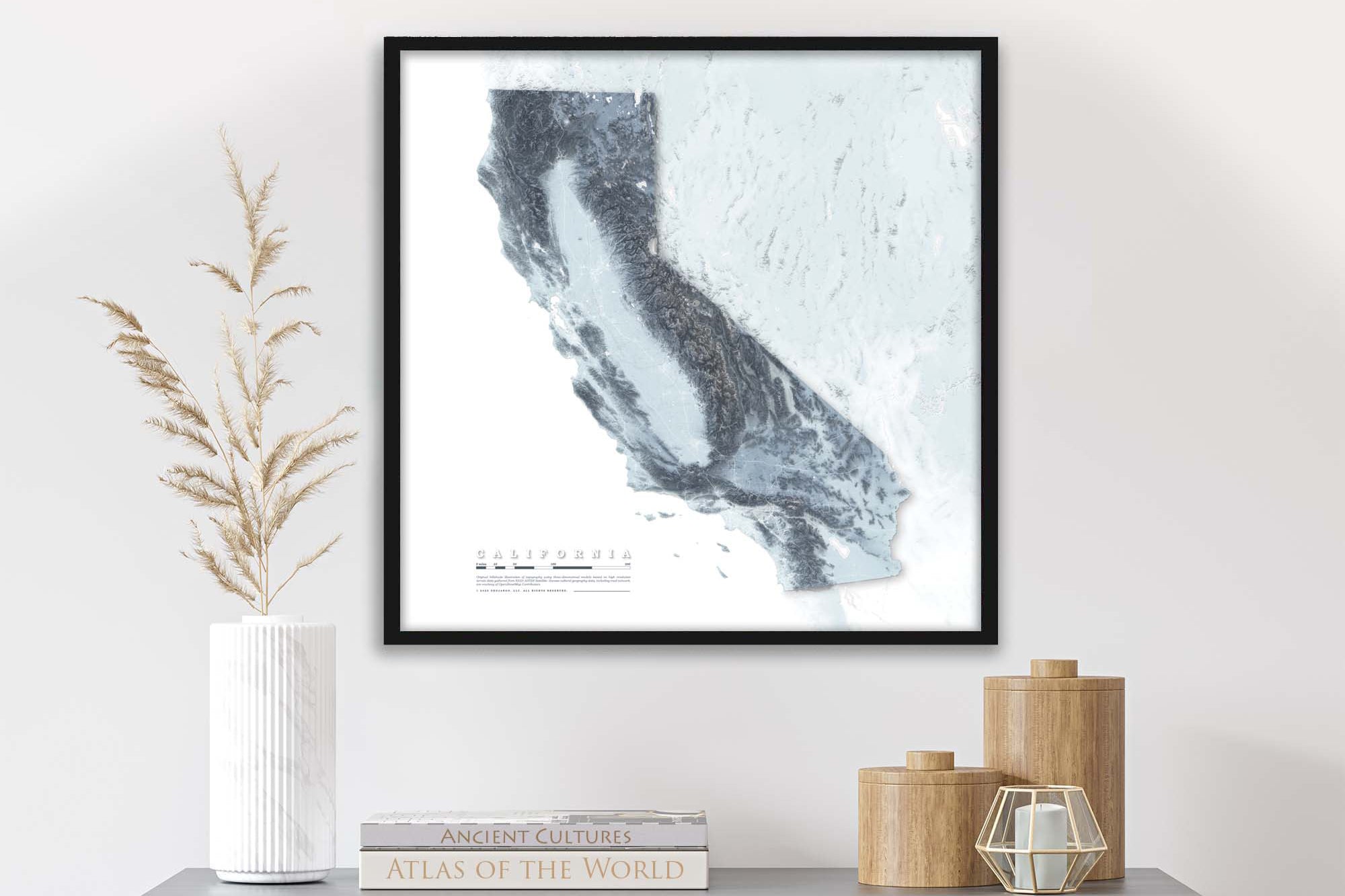
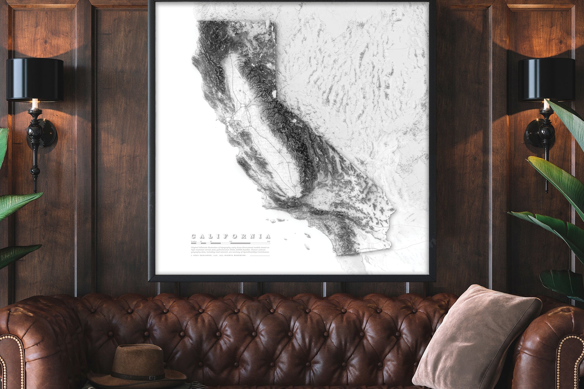
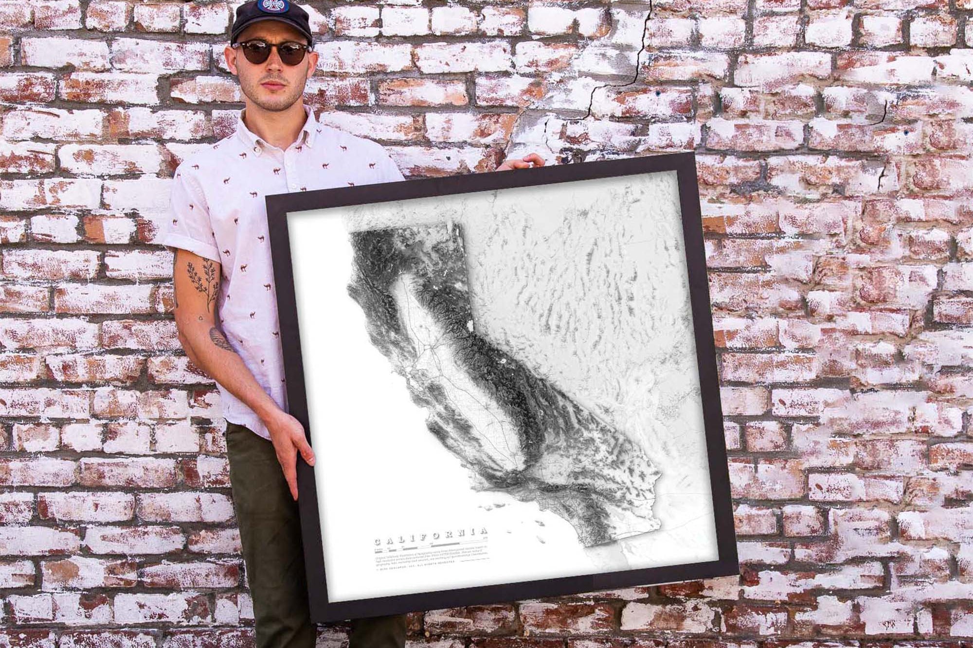
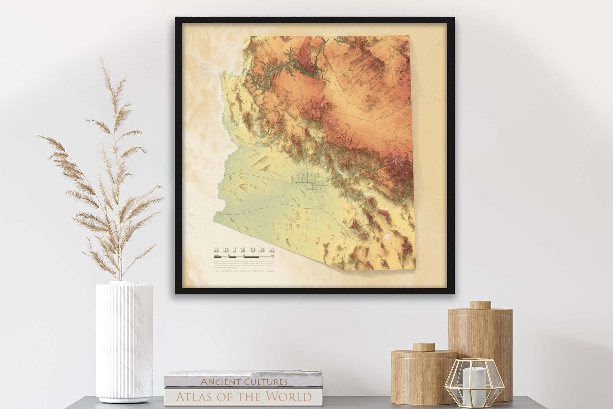
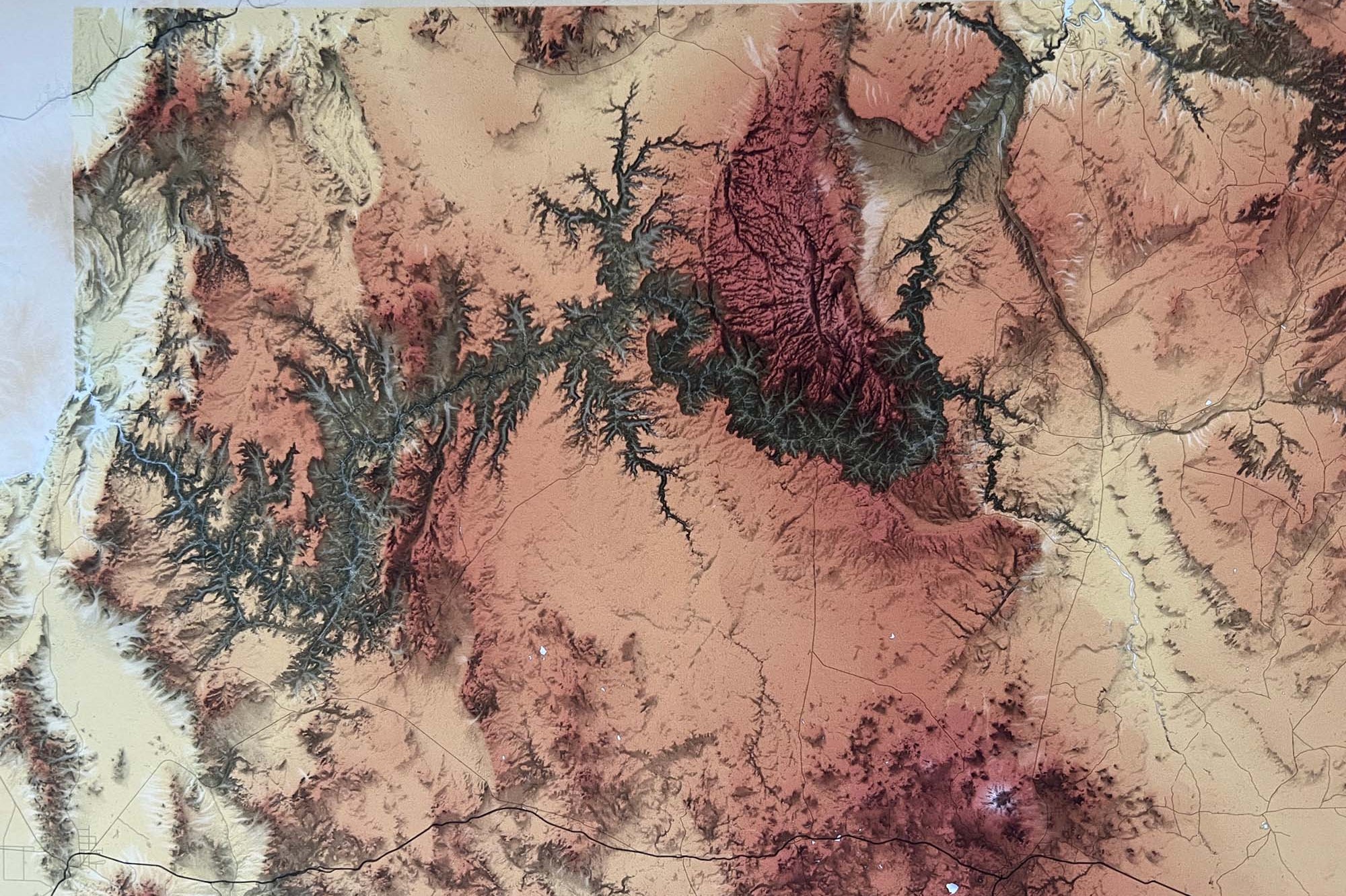
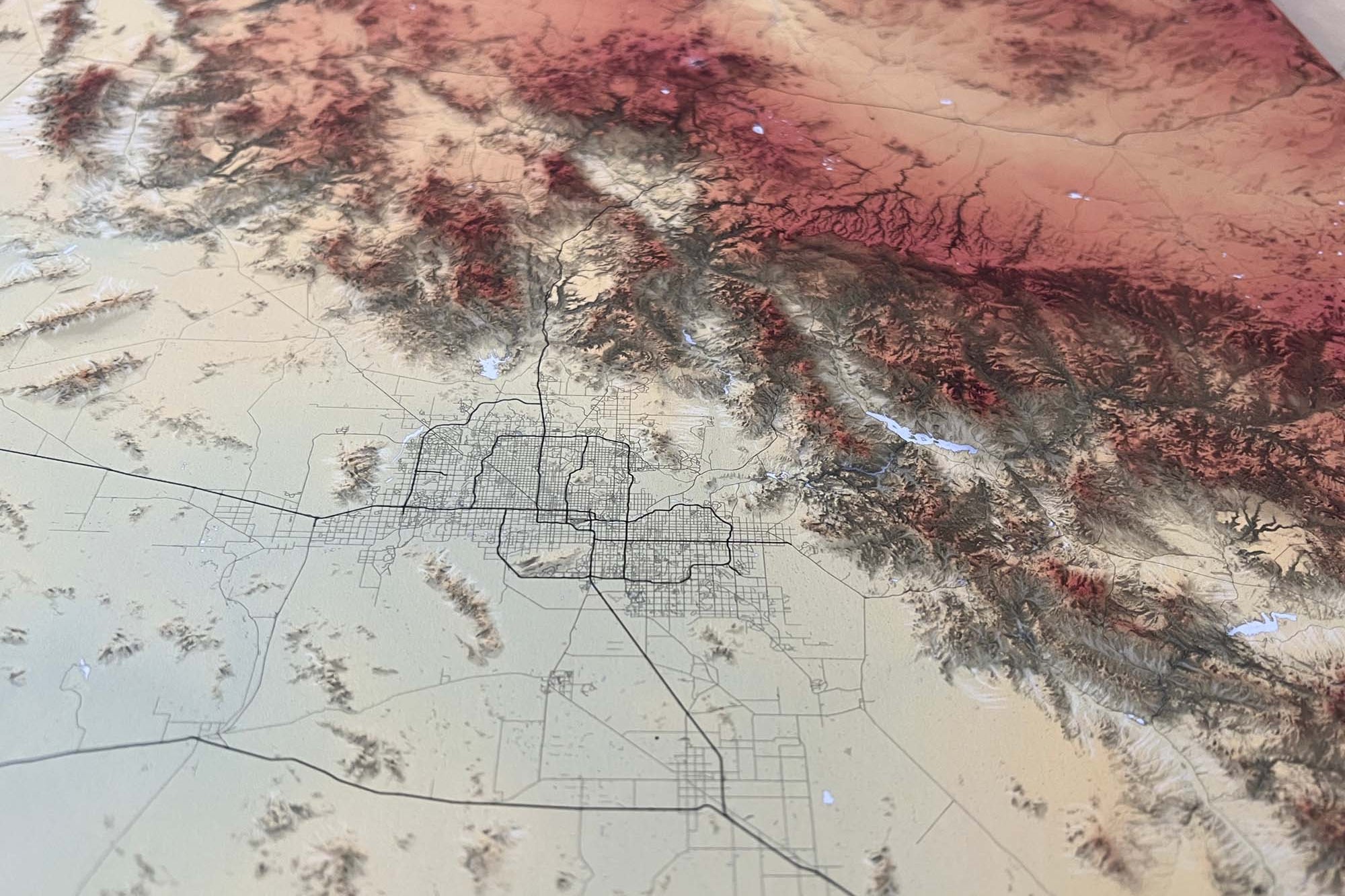
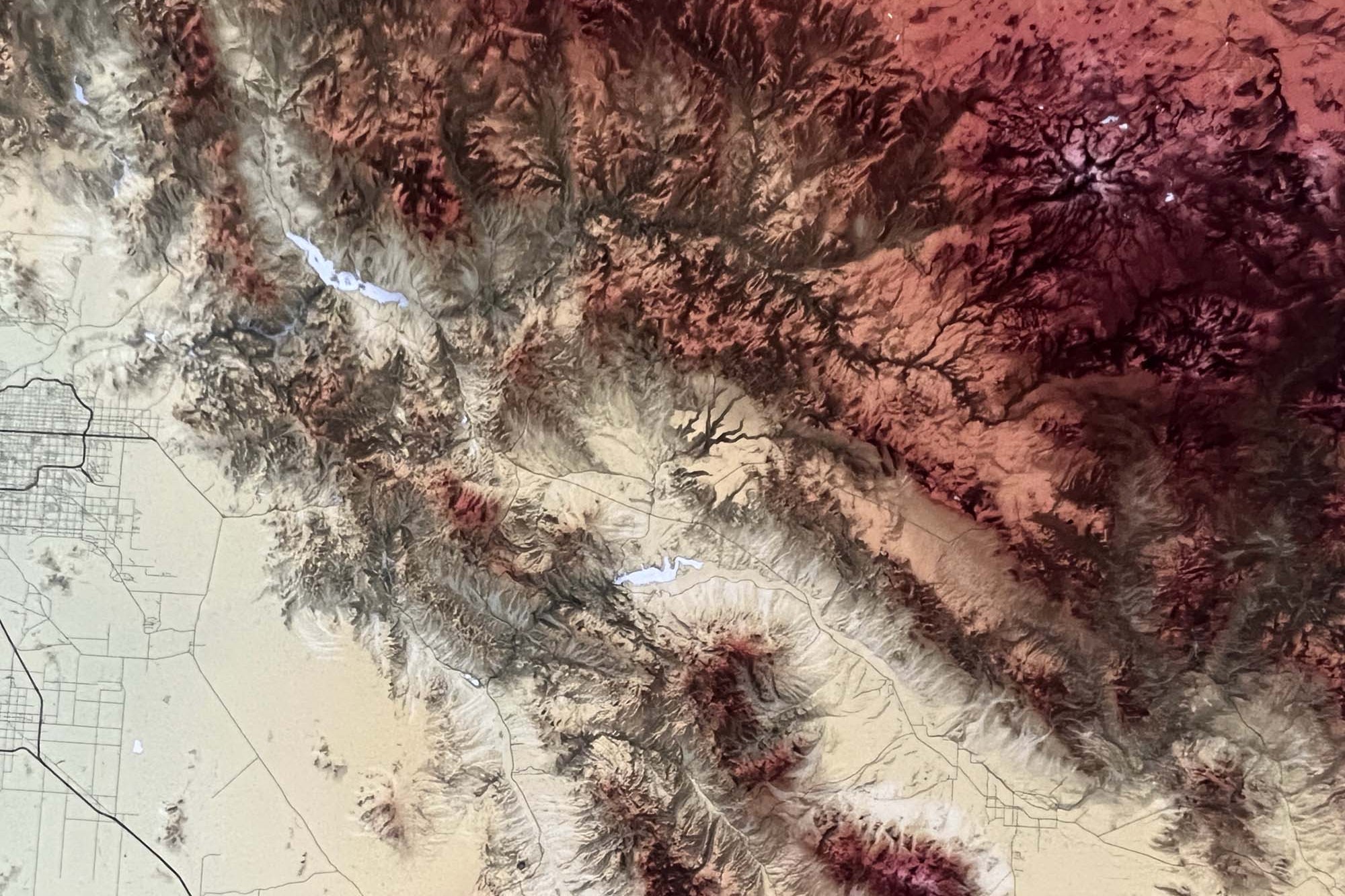
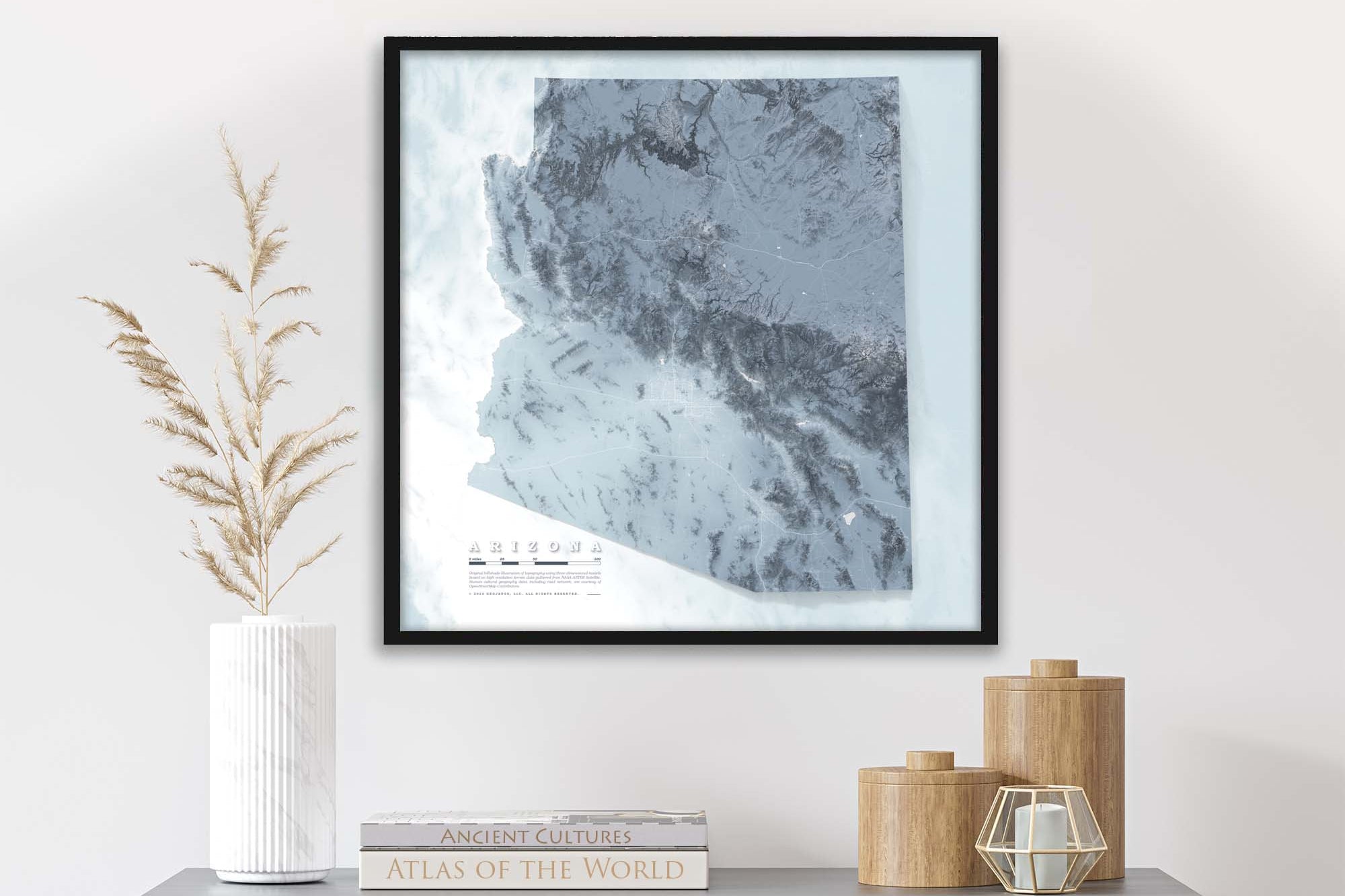
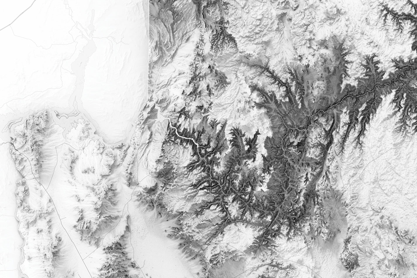
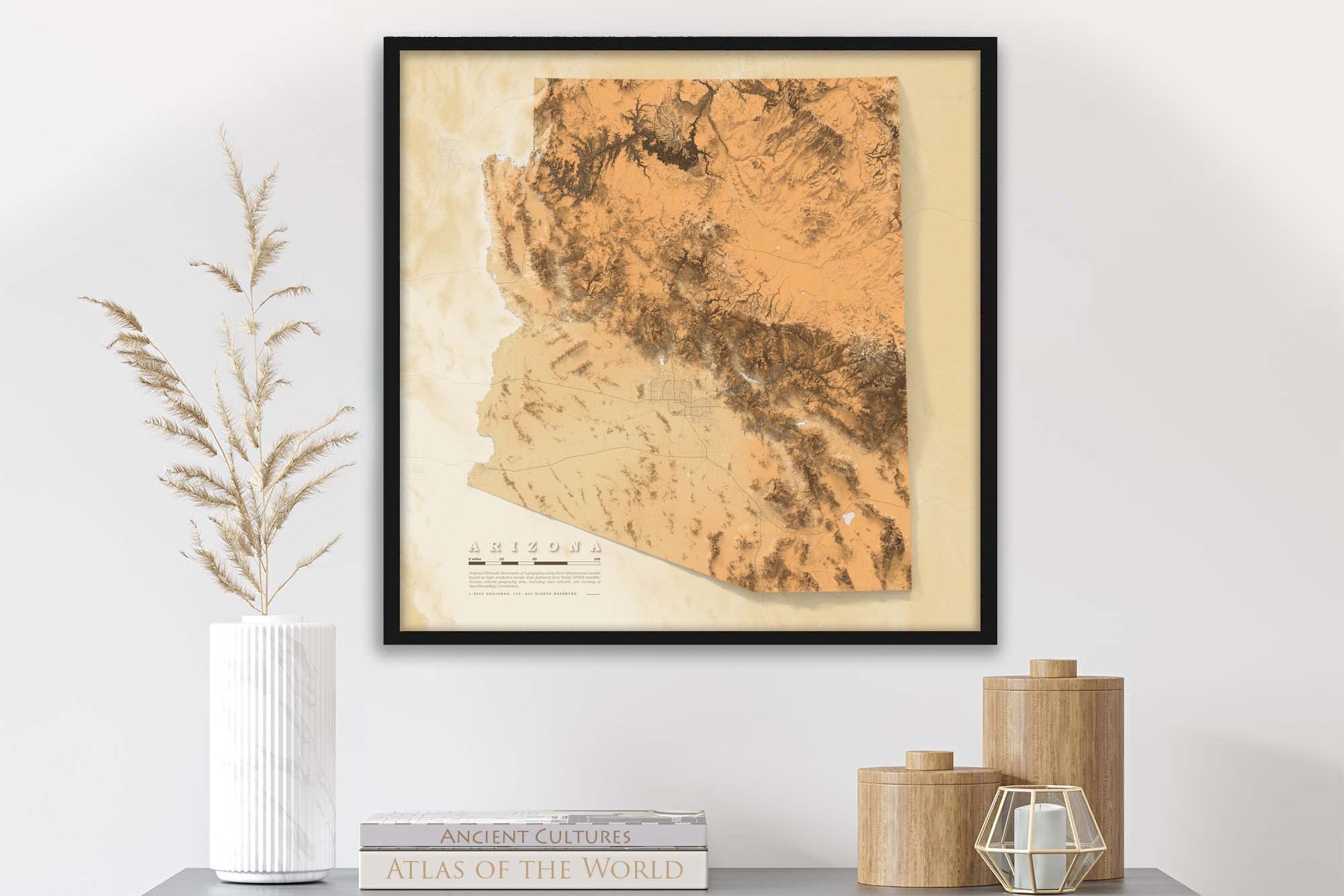
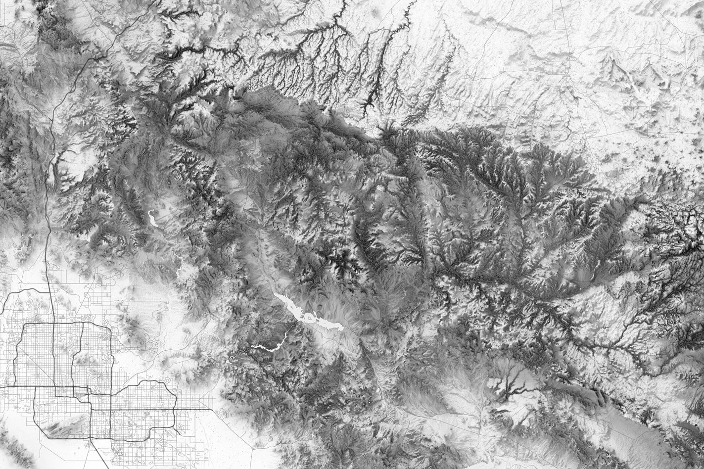
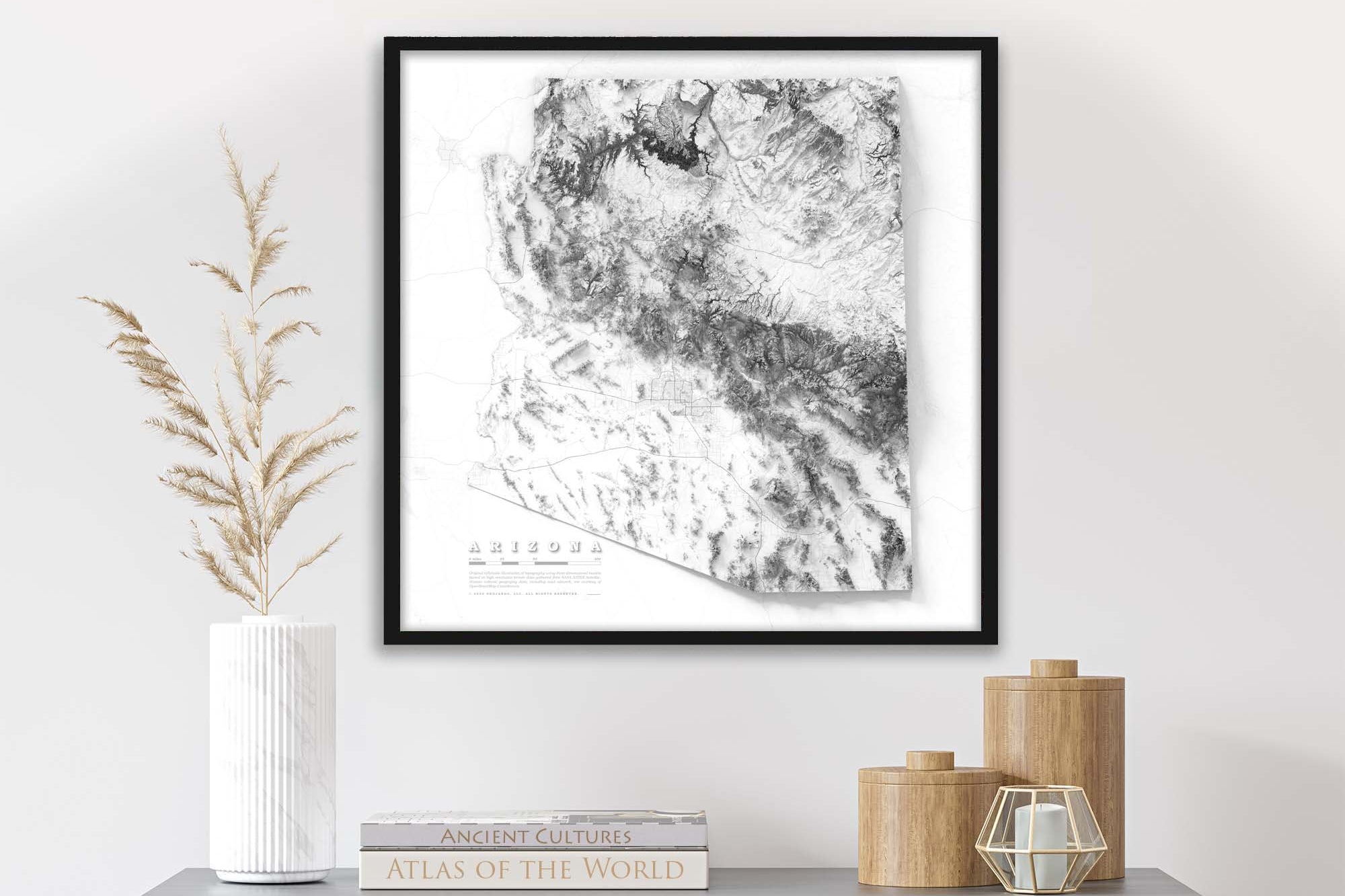
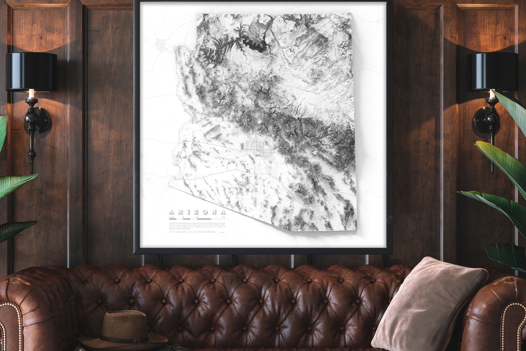
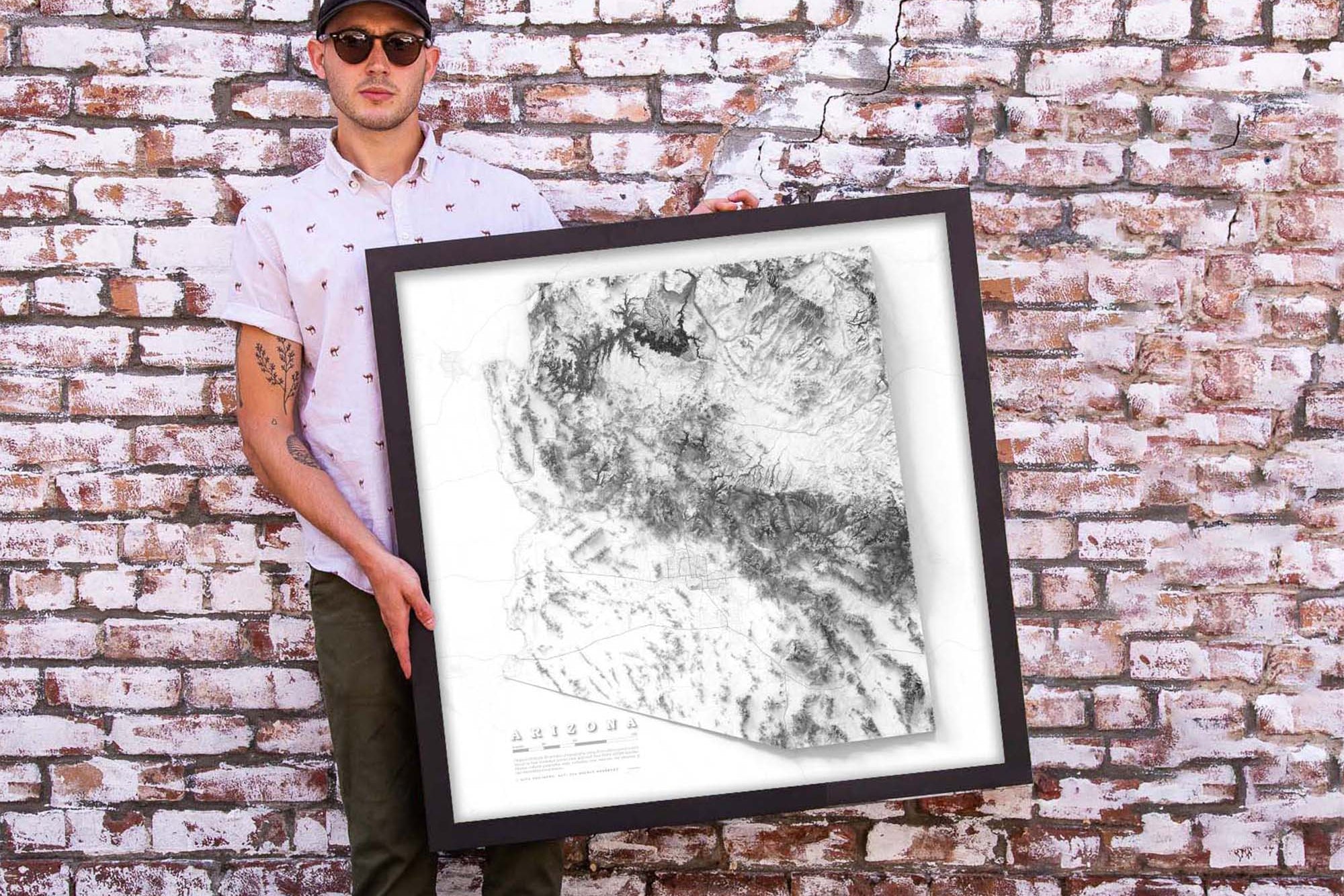
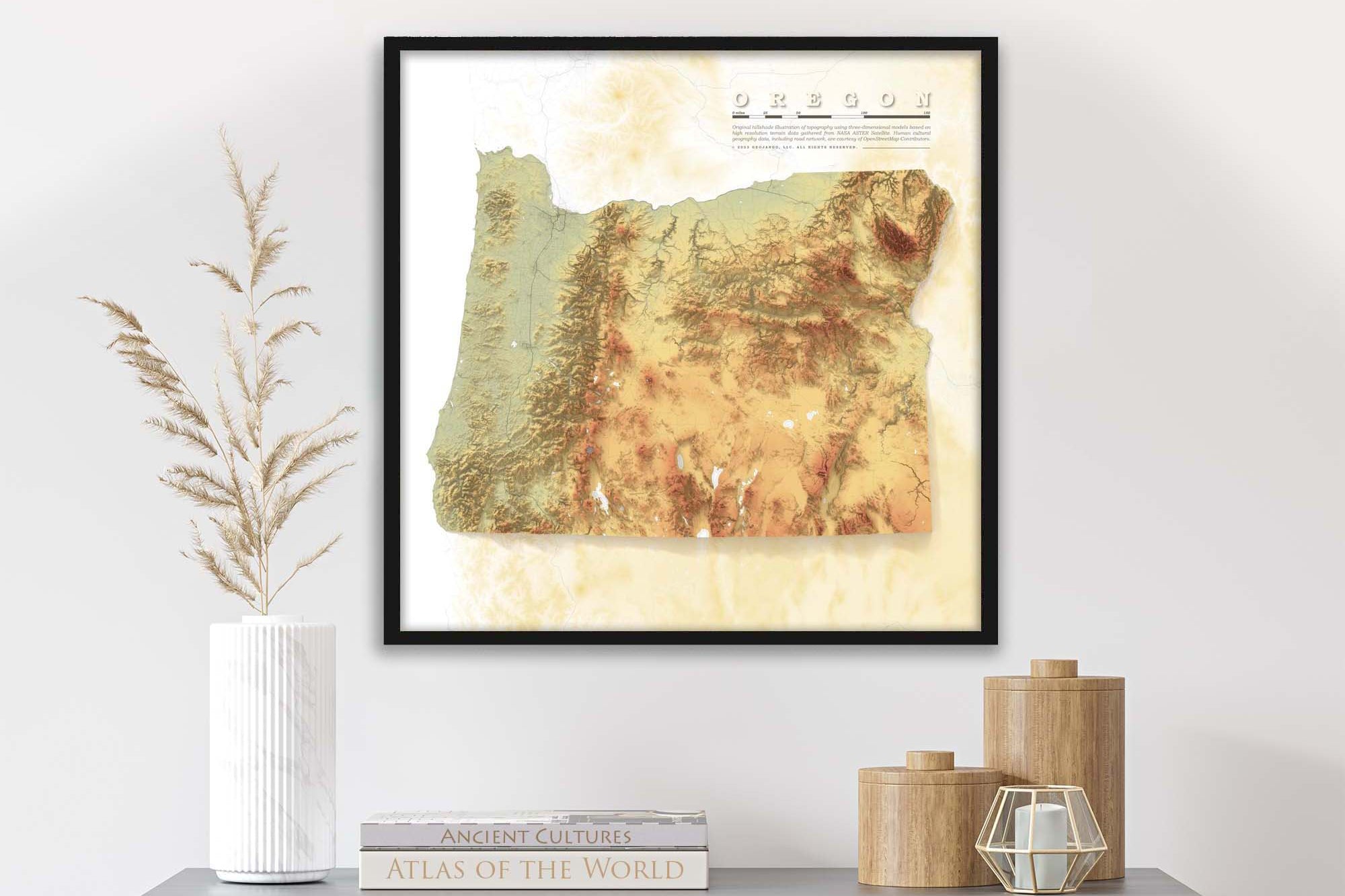
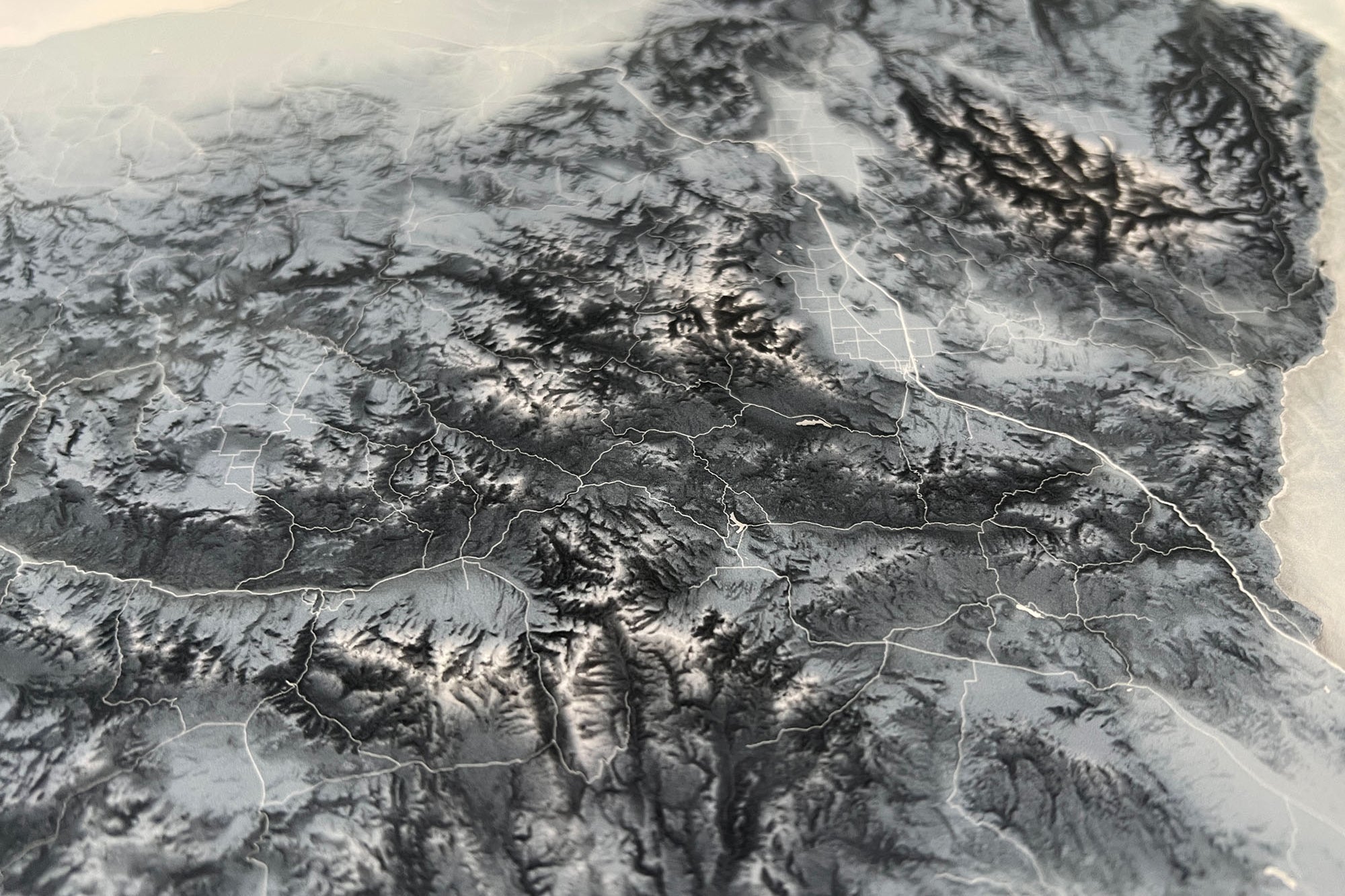
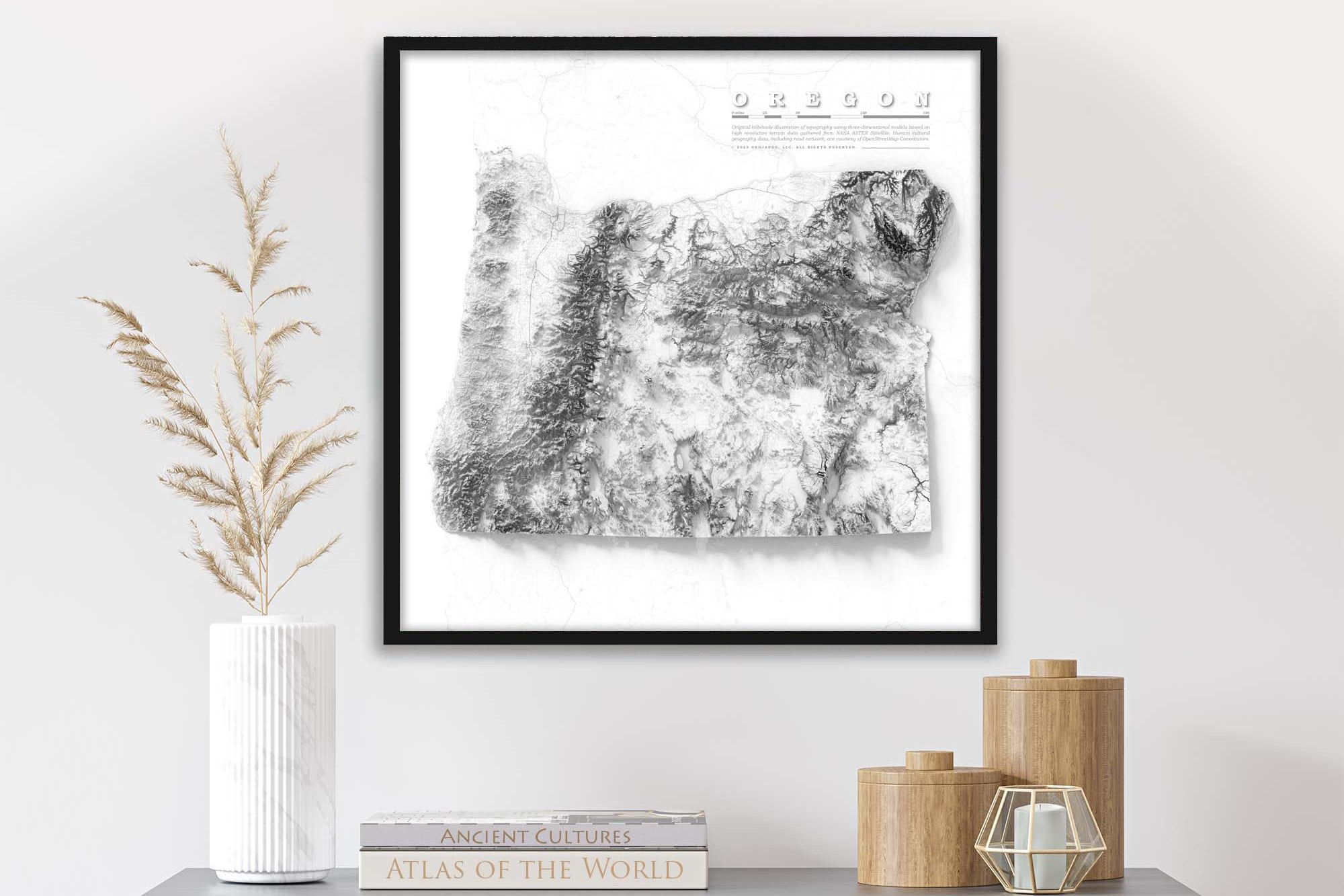
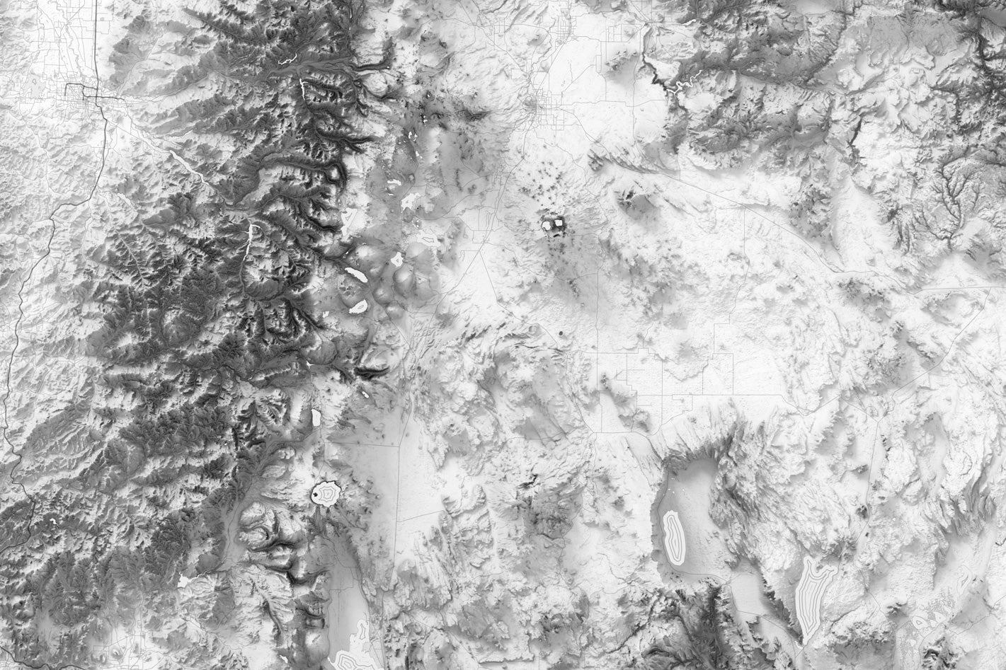
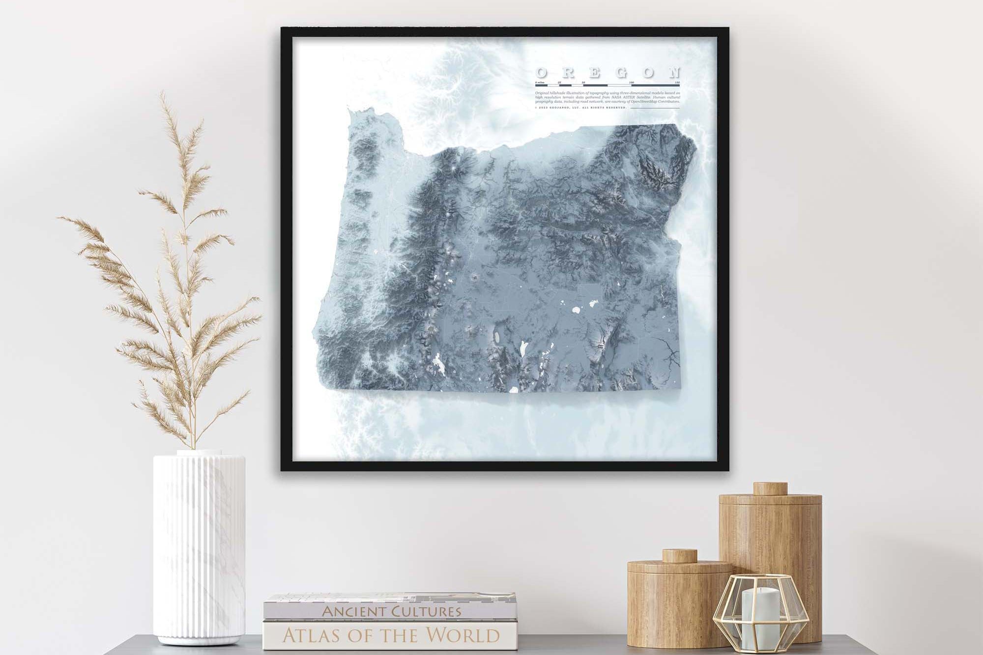
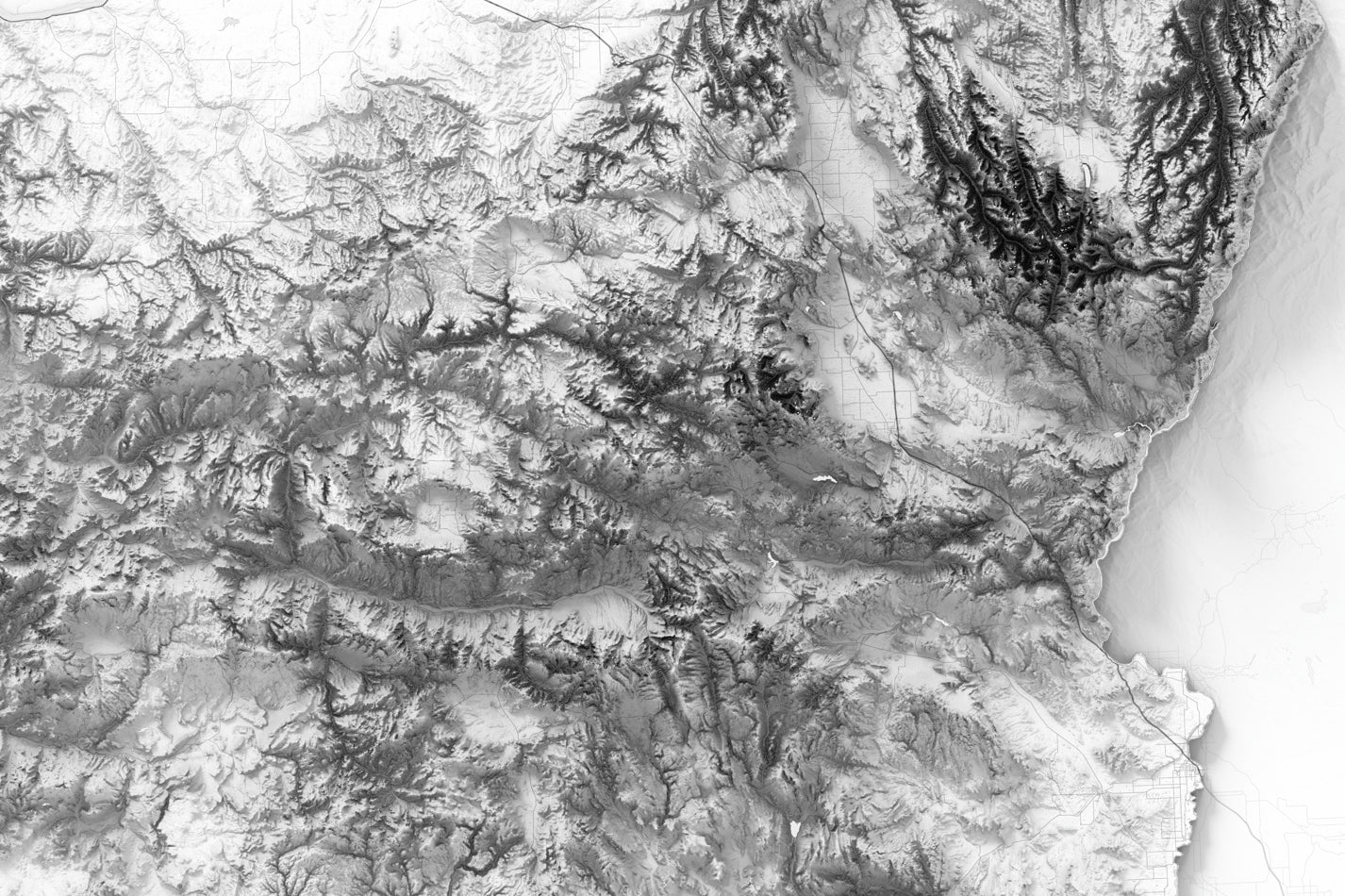
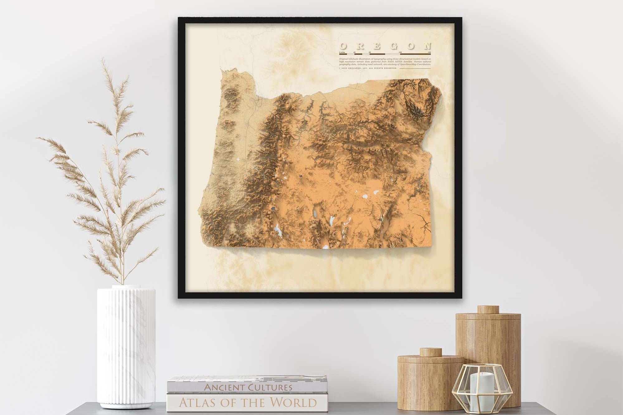
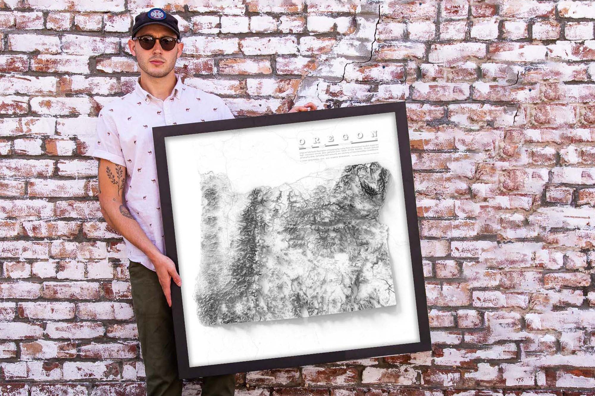
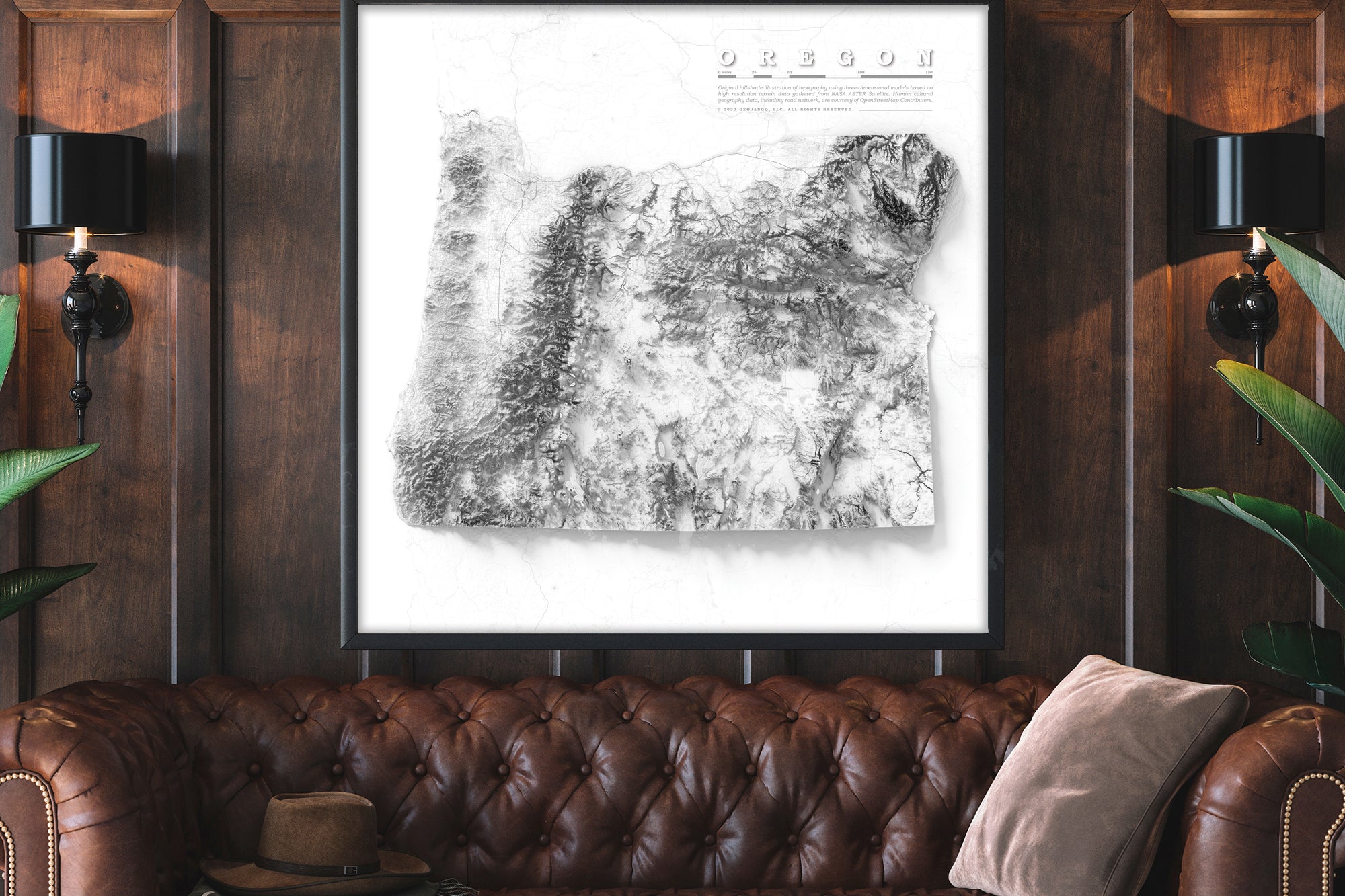
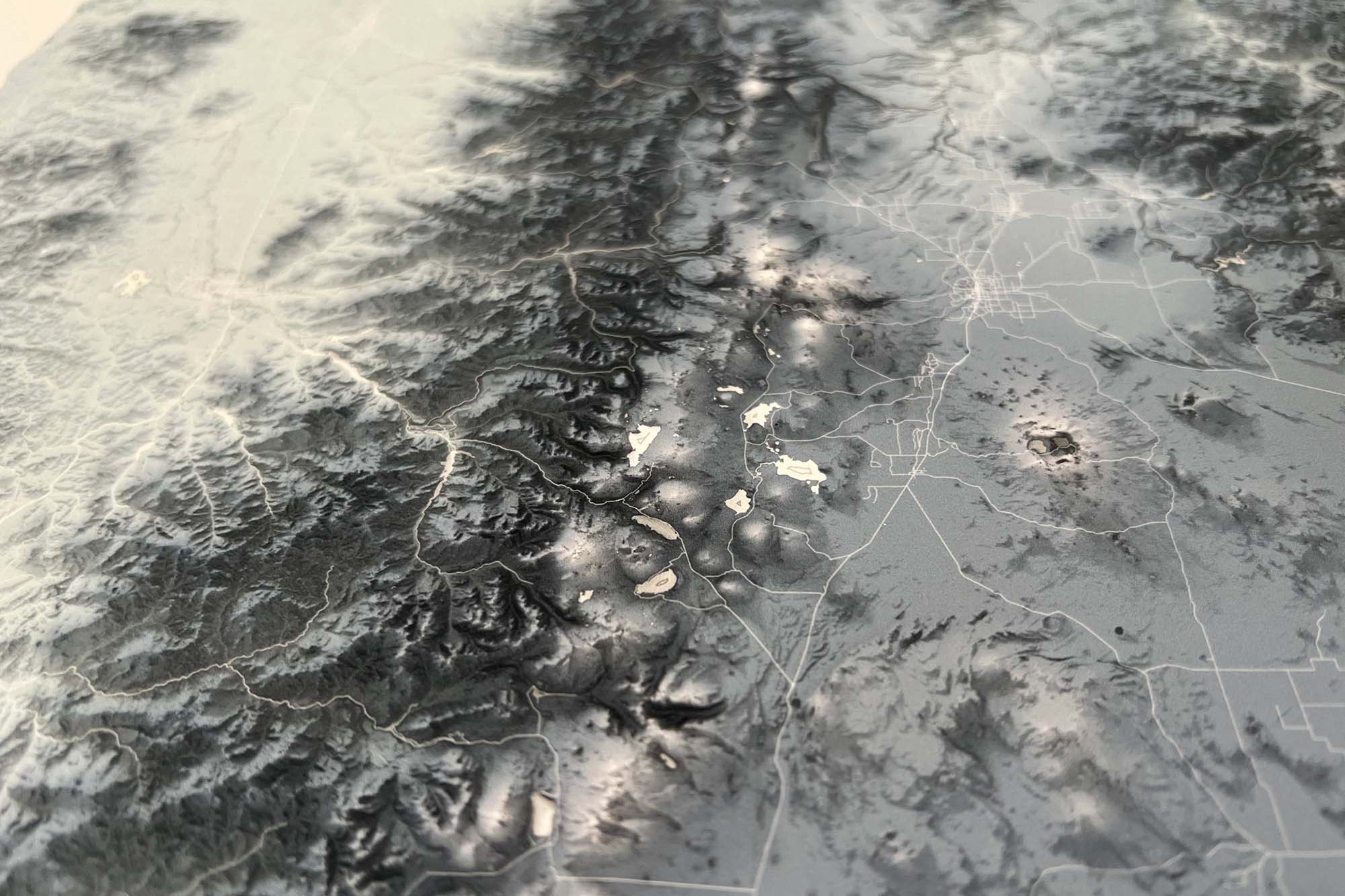
About the Map: This Georgia map uses detailed terrain and landscape modeling design. The detailed information throughout this map is the result of years of geographic research and was created by a professional Cartographer/Geographer.
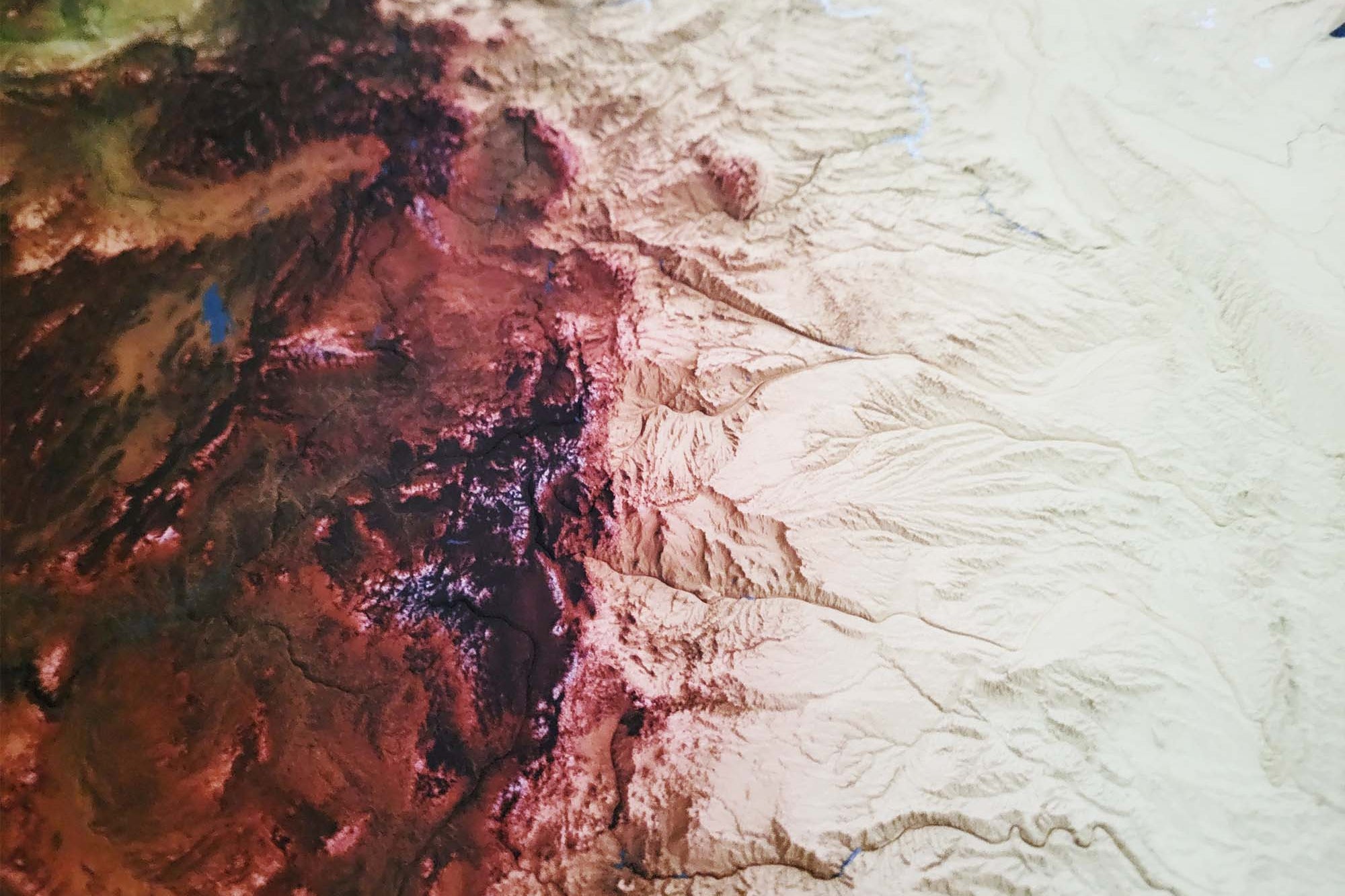
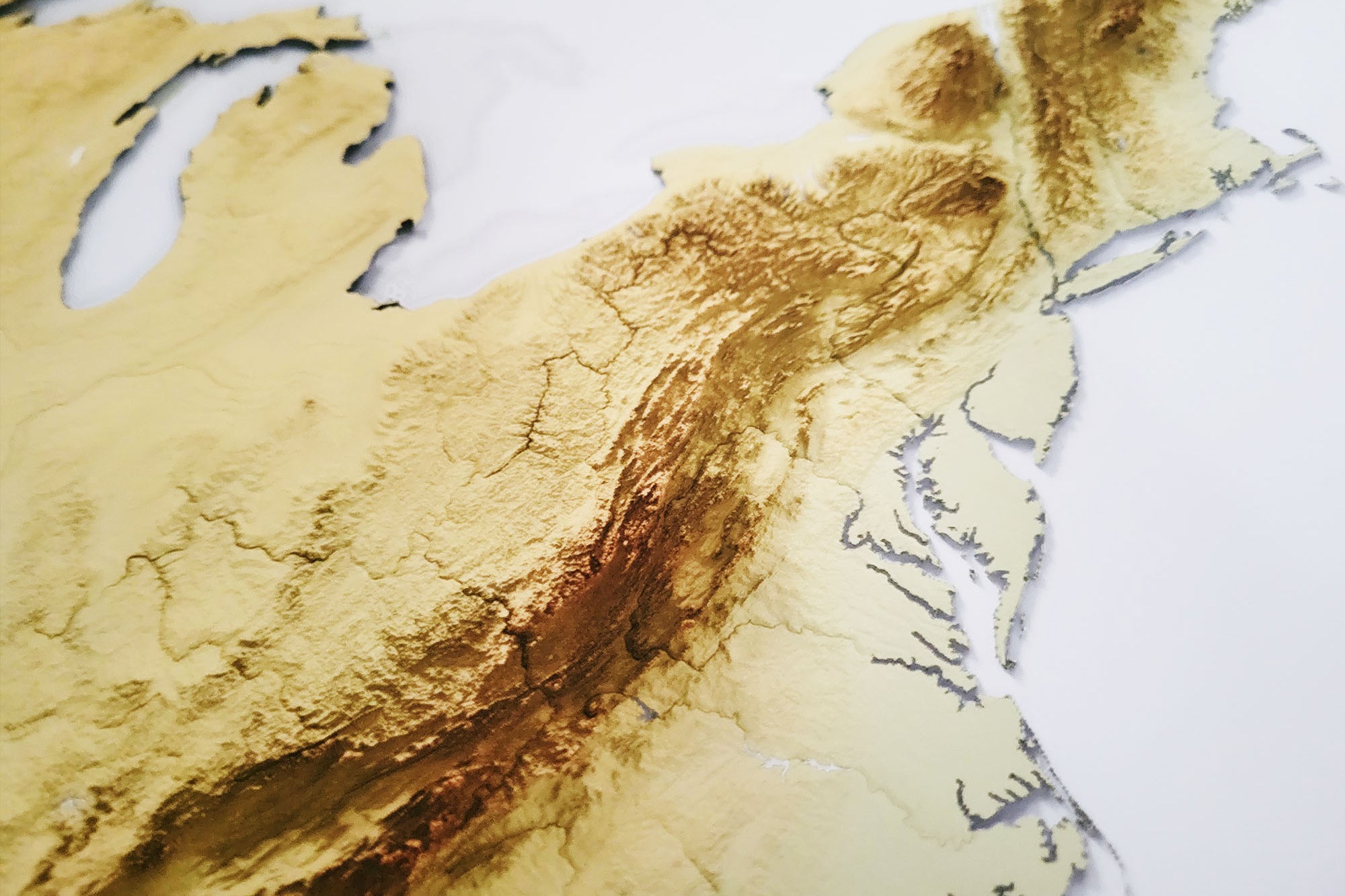
From the majestic peaks of the Appalachian Mountains to the tranquil coastal plains and everything in between, this map offers a comprehensive look at Georgia's remarkable terrain.
Whether you call Georgia home or are a fascinated visitor enchanted by its allure, this shaded relief map is an indispensable companion for uncovering the breathtaking natural marvels and diverse landscapes that define this state. Secure your copy of this impressive map today and embark on unforgettable adventures across Georgia's enchanting terrain!
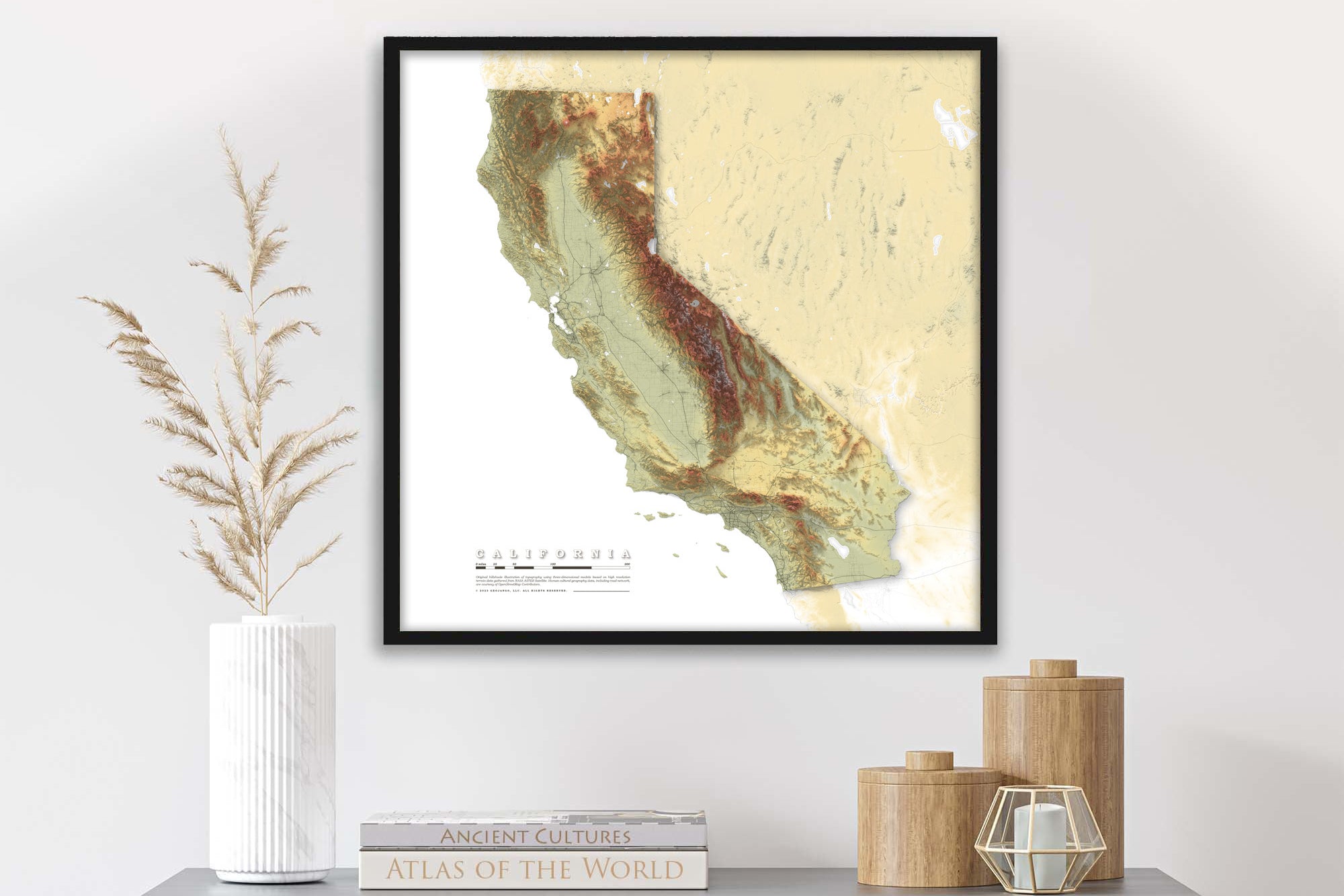
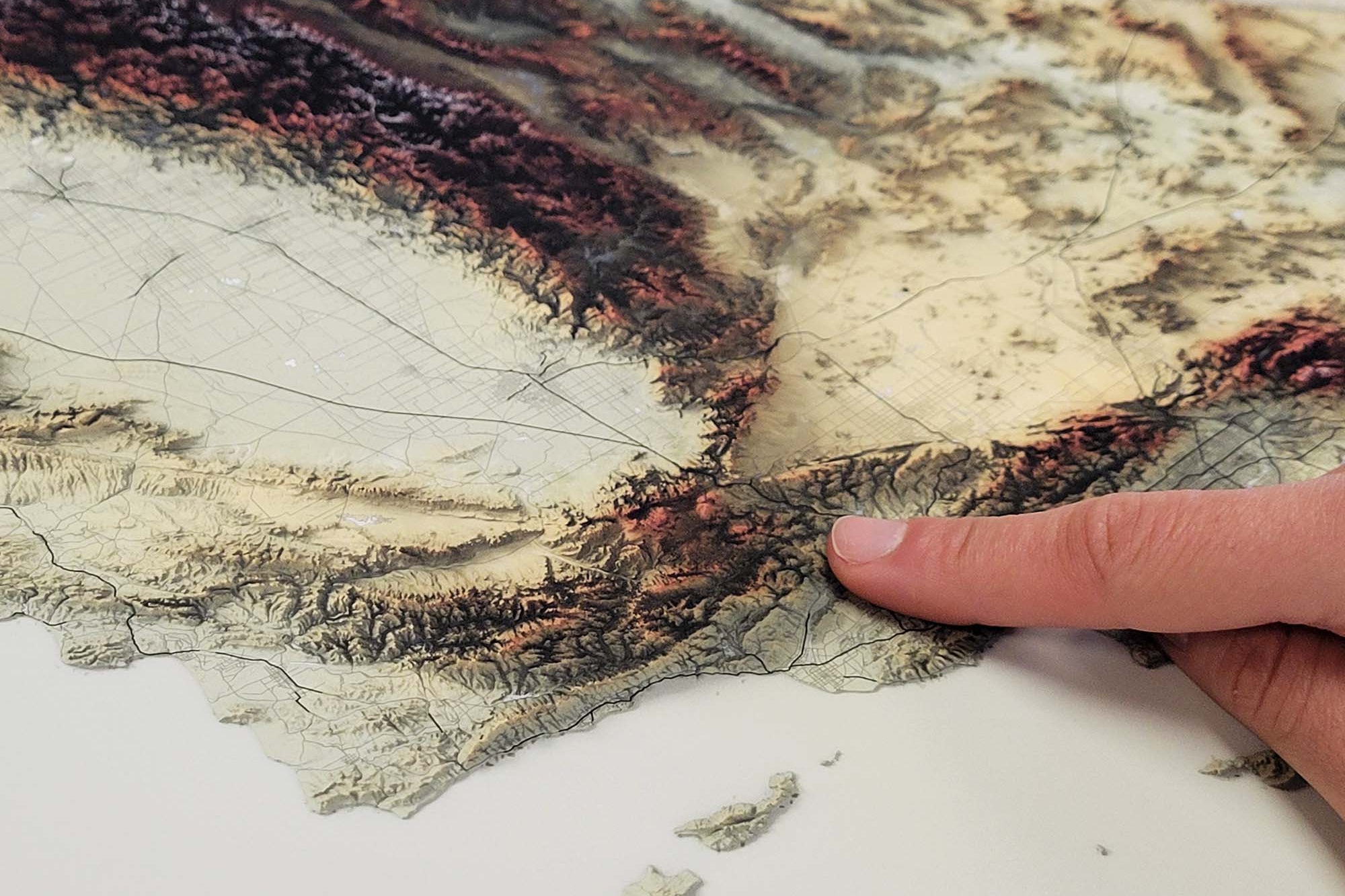
Product Format: This is a flat map with rich terrain depth to visualize the landscape. Although it looks 3-Dimensional it is produced as a flat map.
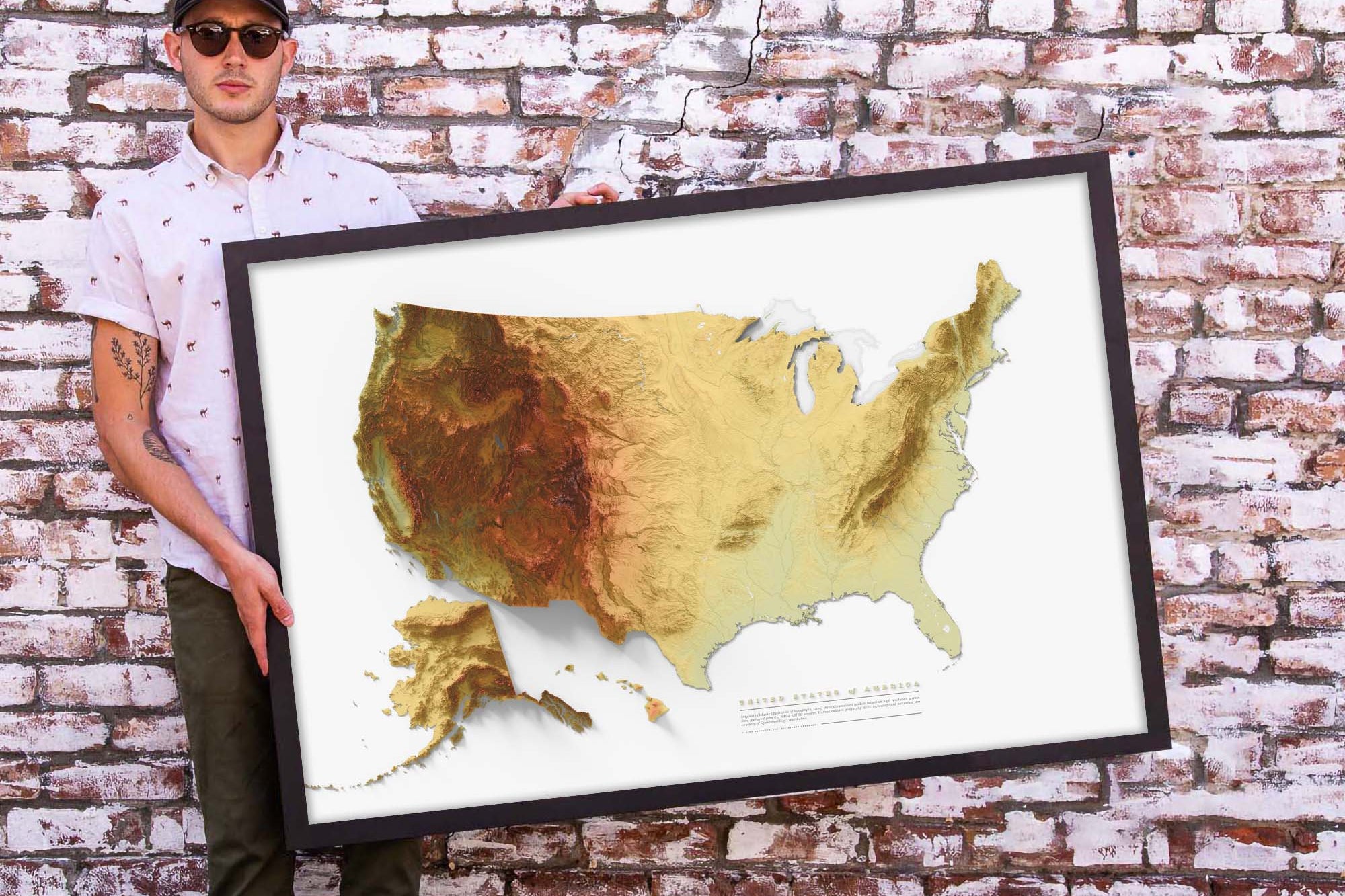
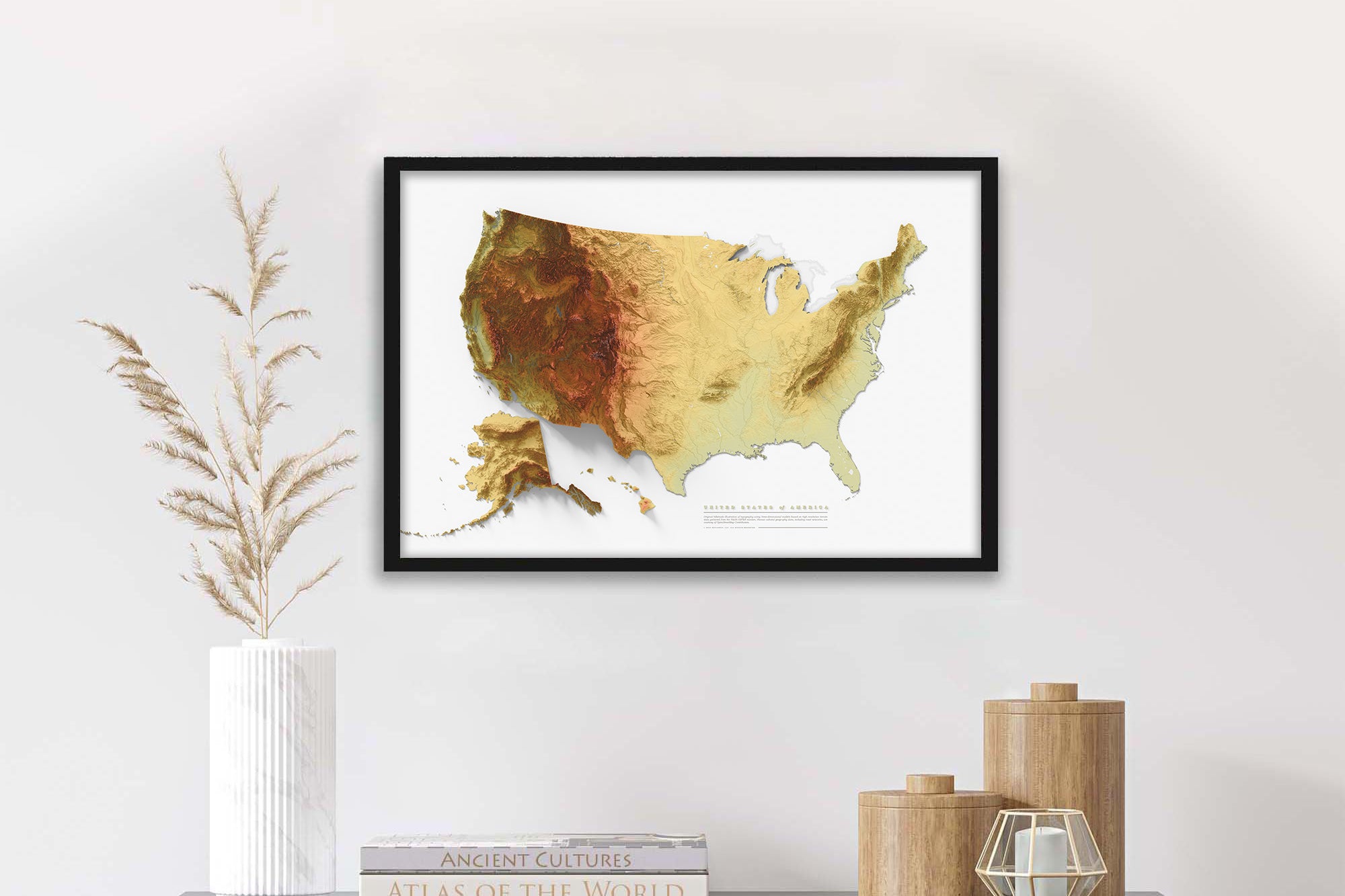
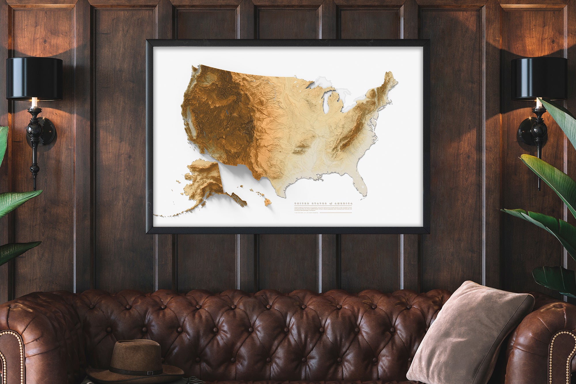
Frame Selection: Black Frame