Geography Materials to learn more about the World


geography map games

Cartography: The Art of Making Maps

Map making combines Art and Science!

GeoJango wants to help people learn more about the Earth and Geography.
Follow along as we share art, science and research techniques to help you learn about our world.
 

Subscribe to know when new maps are published!


Creating an Atlas

An Atlas is a collection of maps of the Earth or a particular region such as the United States.
The maps in an atlas show a series of geographic features that have a similar theme.
 

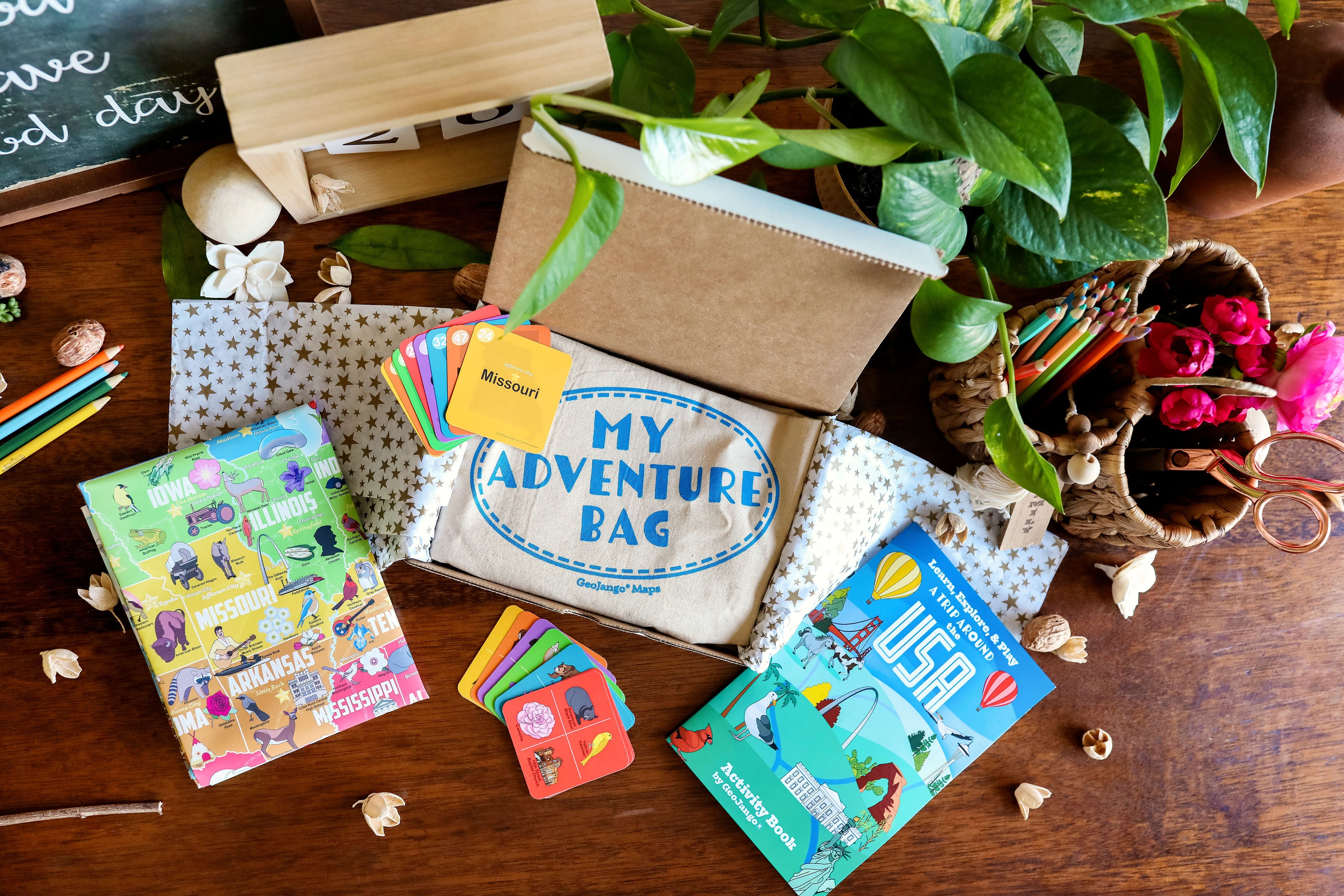
Create Your Atlas With The Themes Below:


Build Your World and USA Atlas:   A collection of  the World and USA  maps.


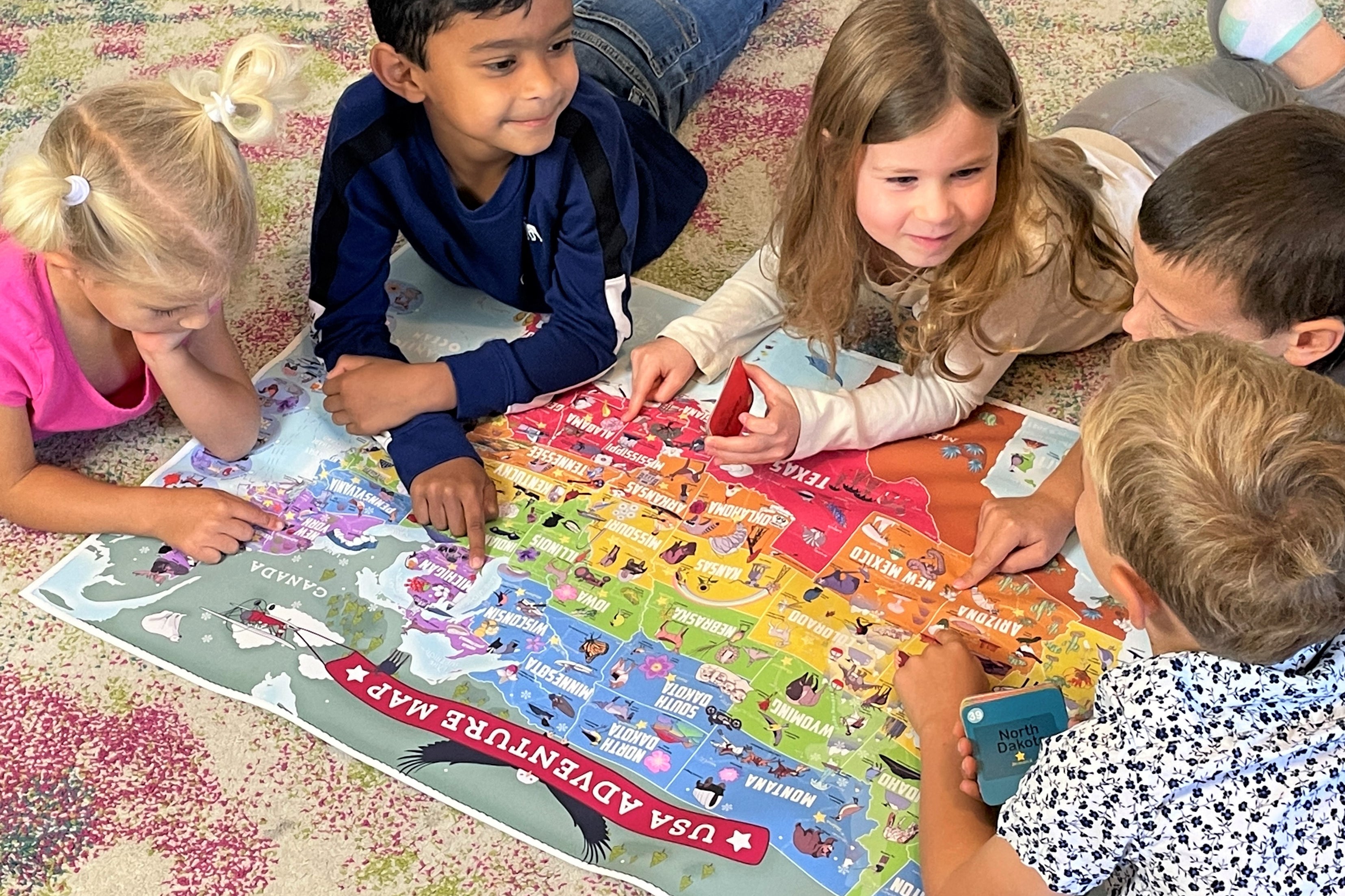
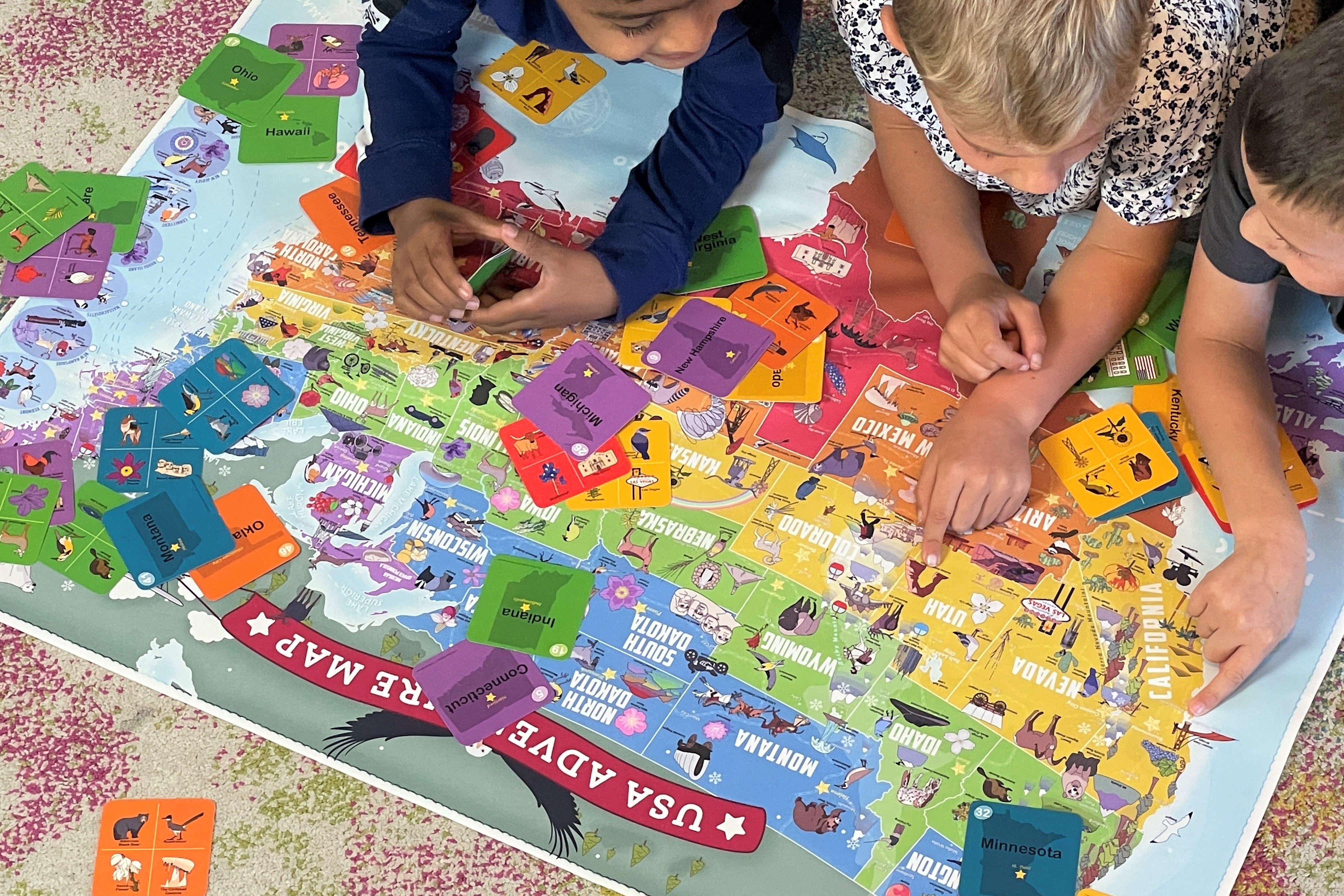
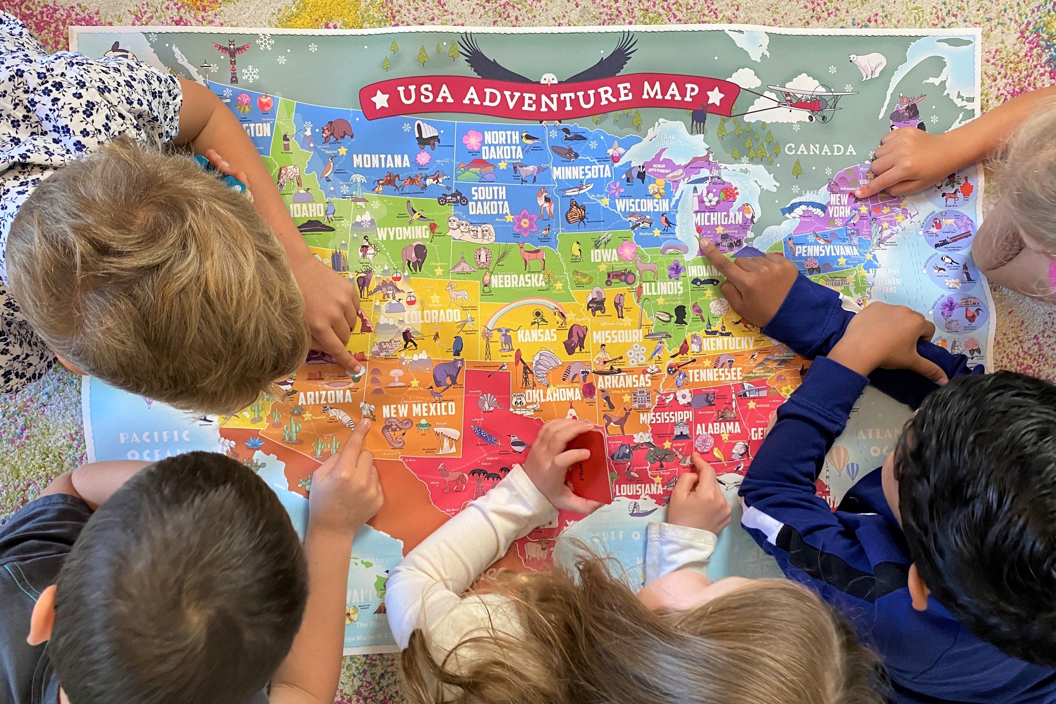
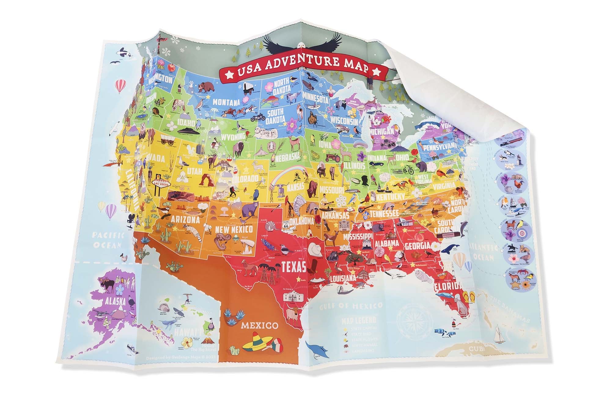
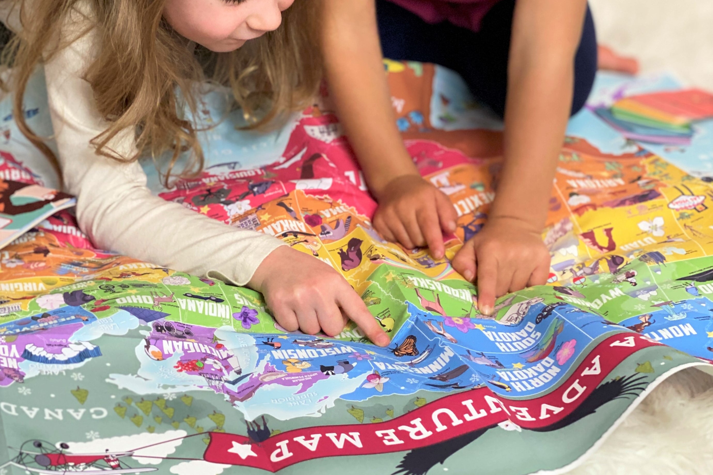
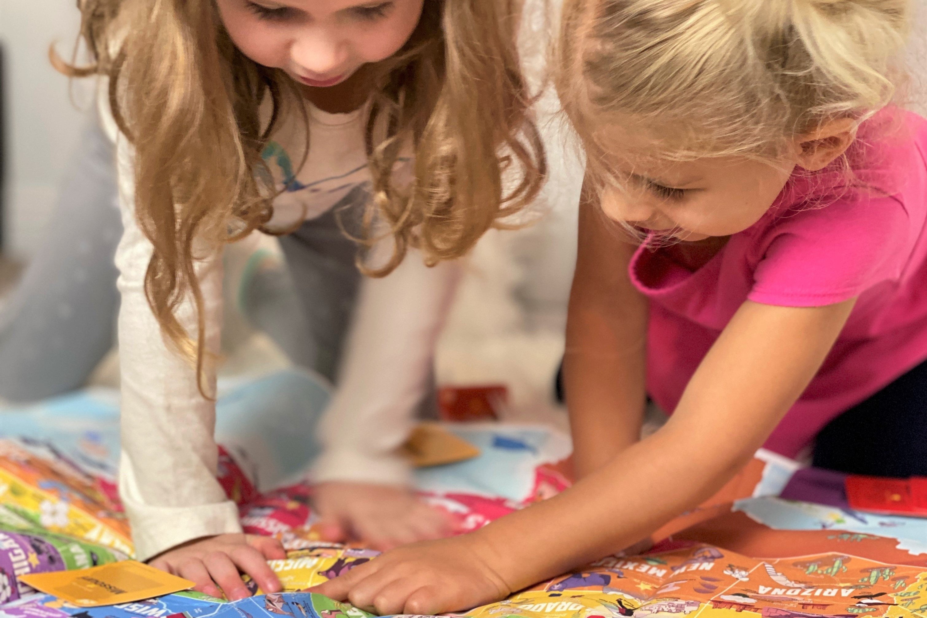
Design your own world and USA maps and show your cartography skills!  

Be creative and color each state and country differently!

Learning Goals: These maps are ideal for learning the countries of the world and the states!

Build Your USA Symbols Atlas:   This Atlas is a collection of USA state maps illustrating the symbols for every state.


Complete as many of the states as you can to create your Atlas of the USA and become a Geography Whiz!  

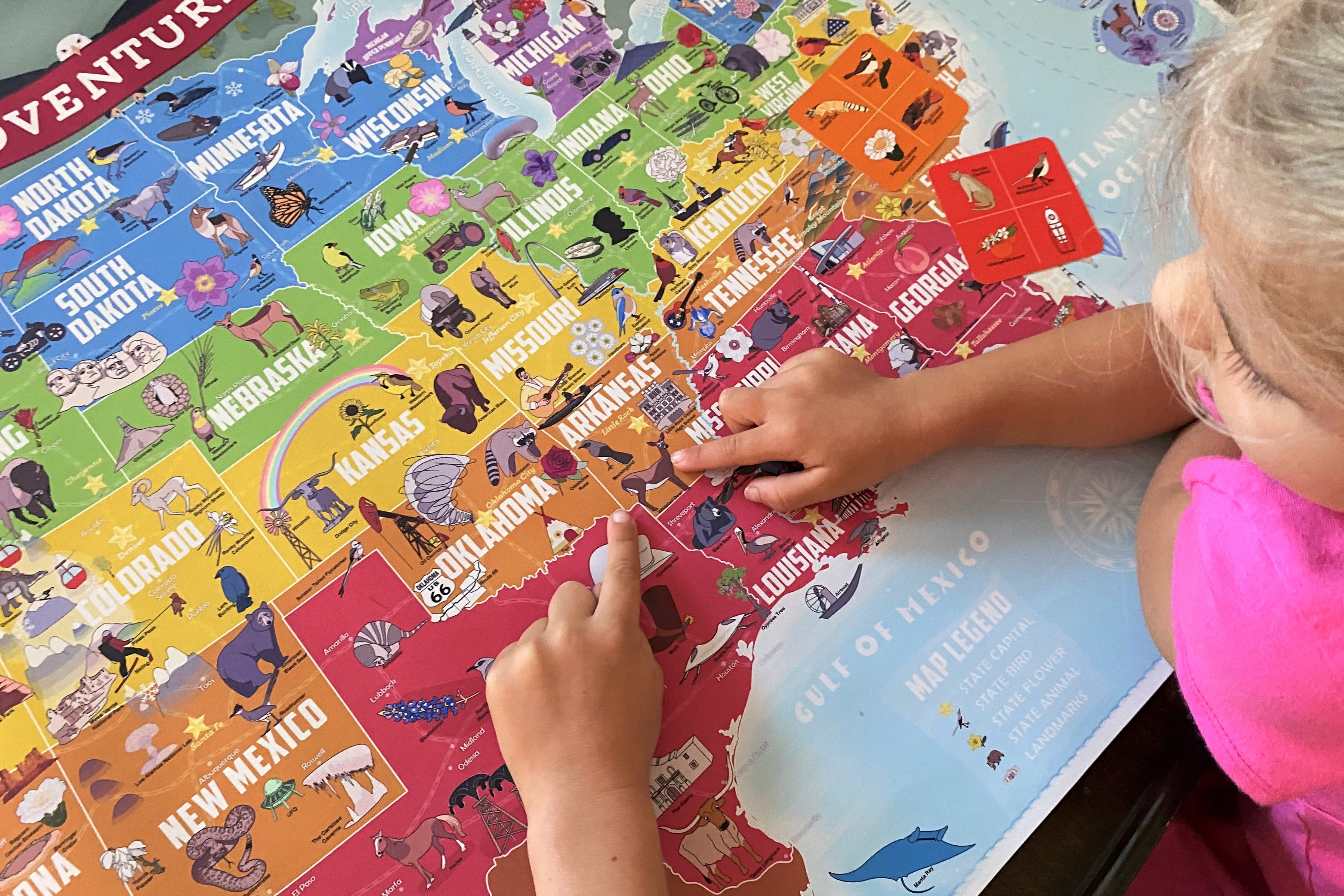
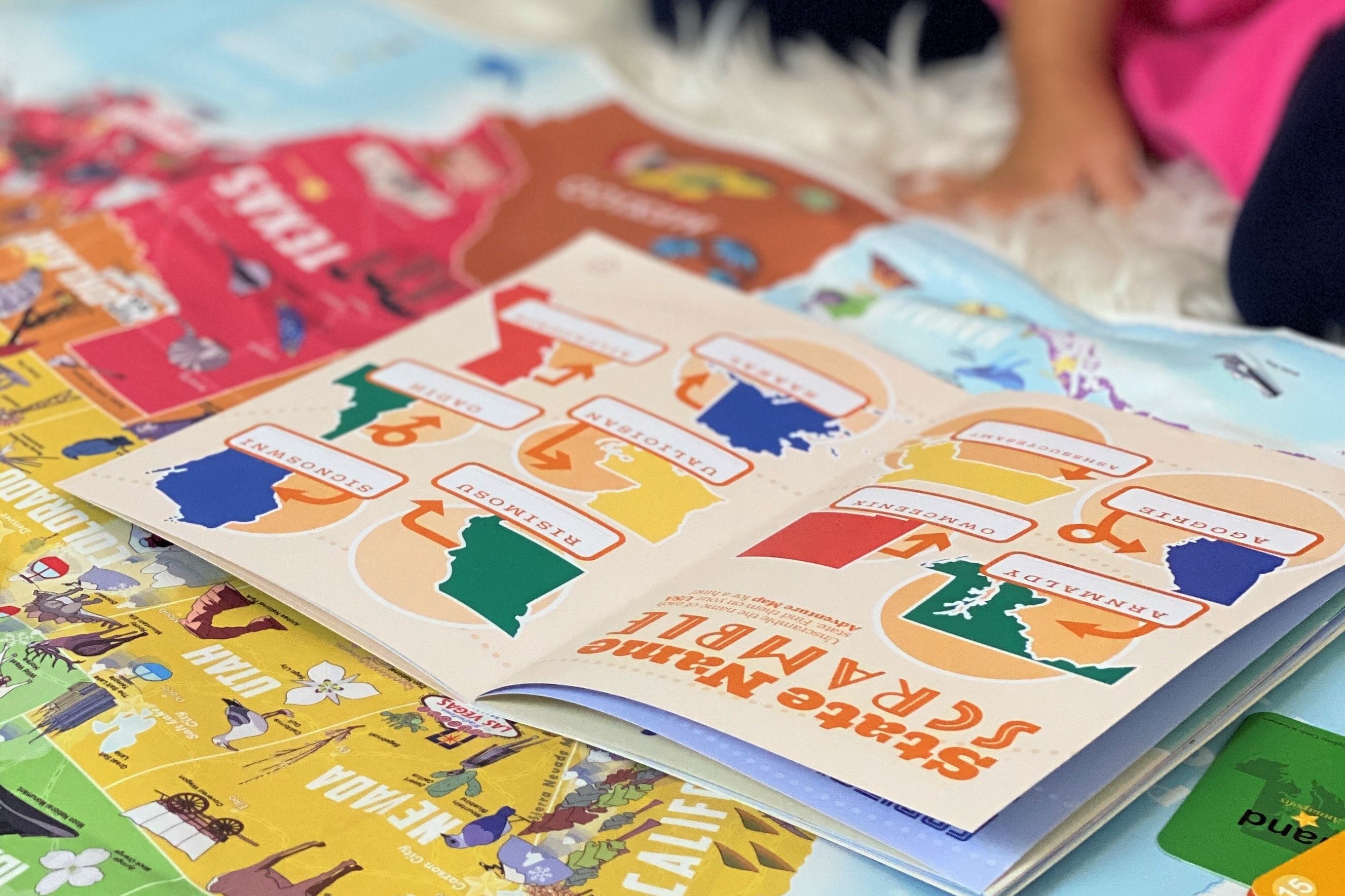
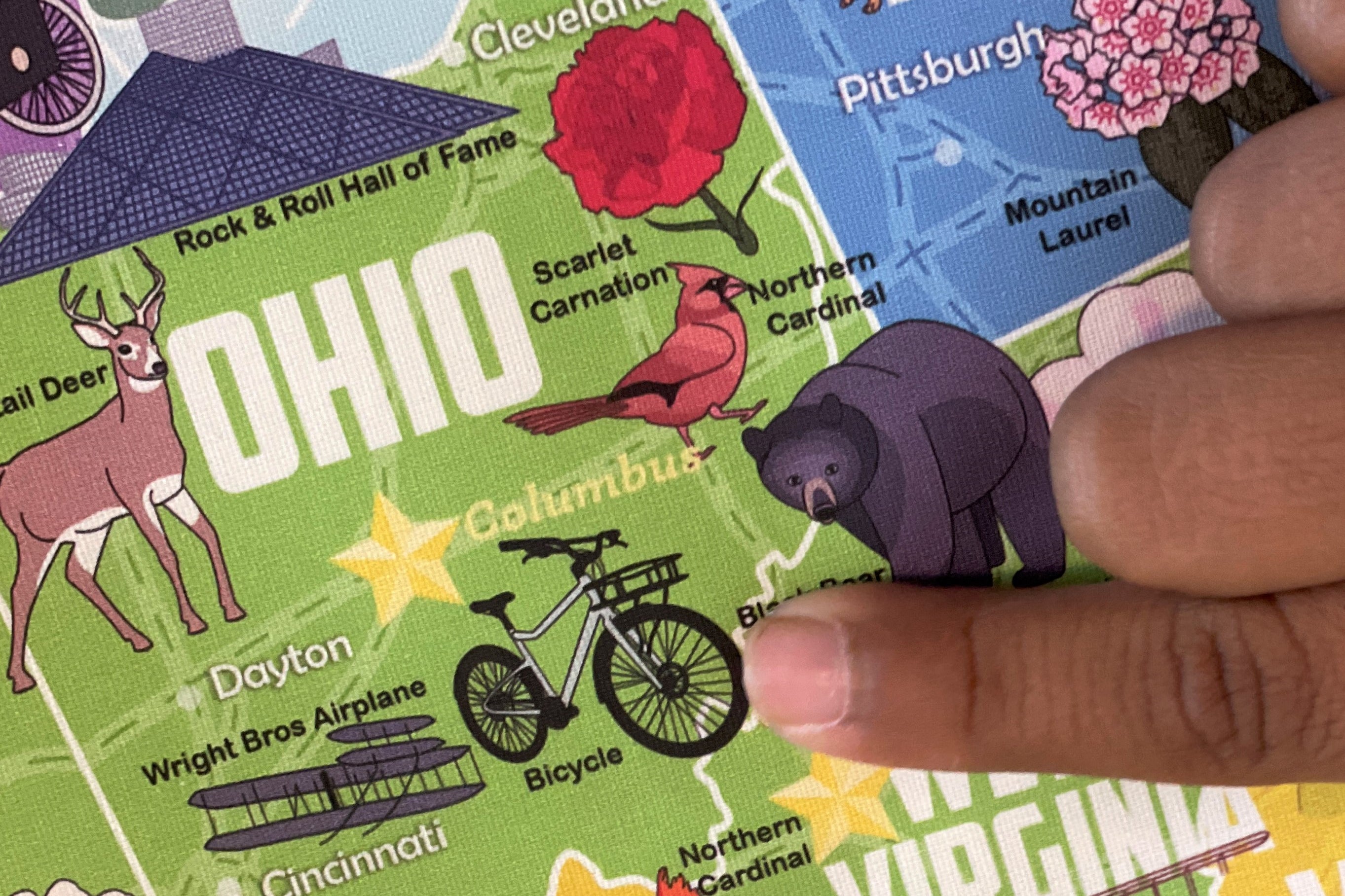
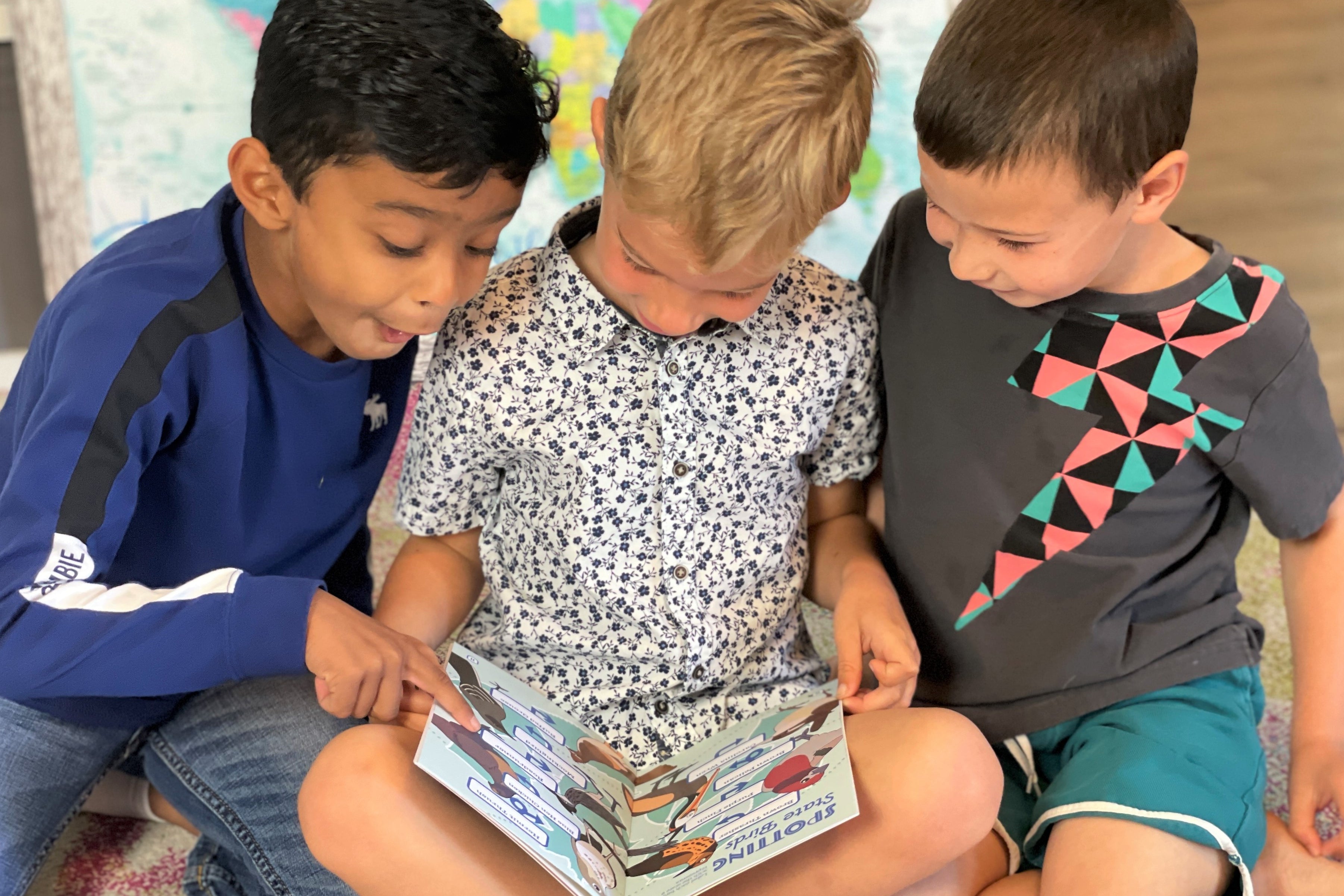
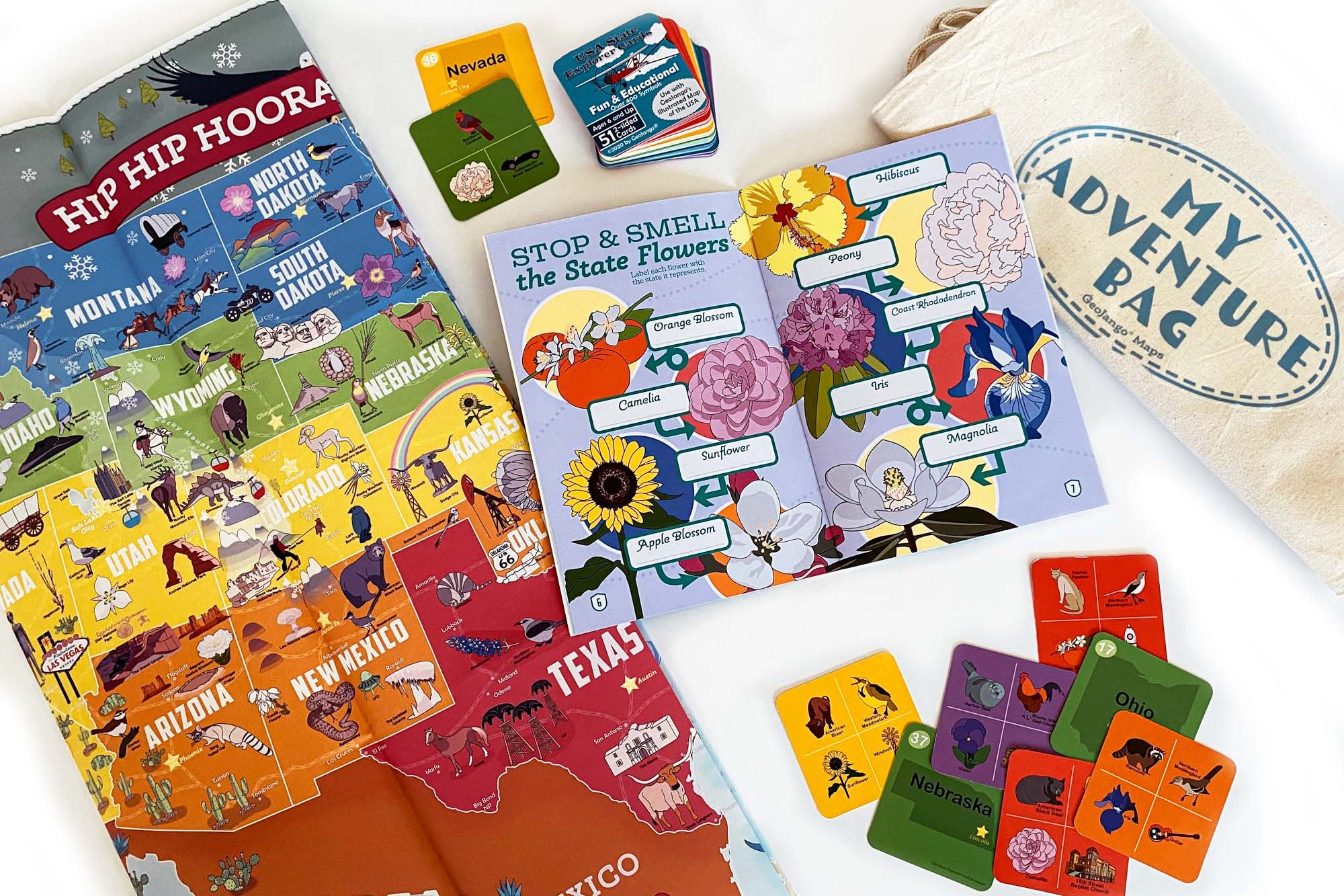
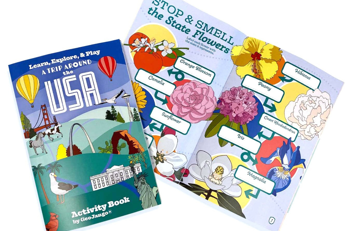
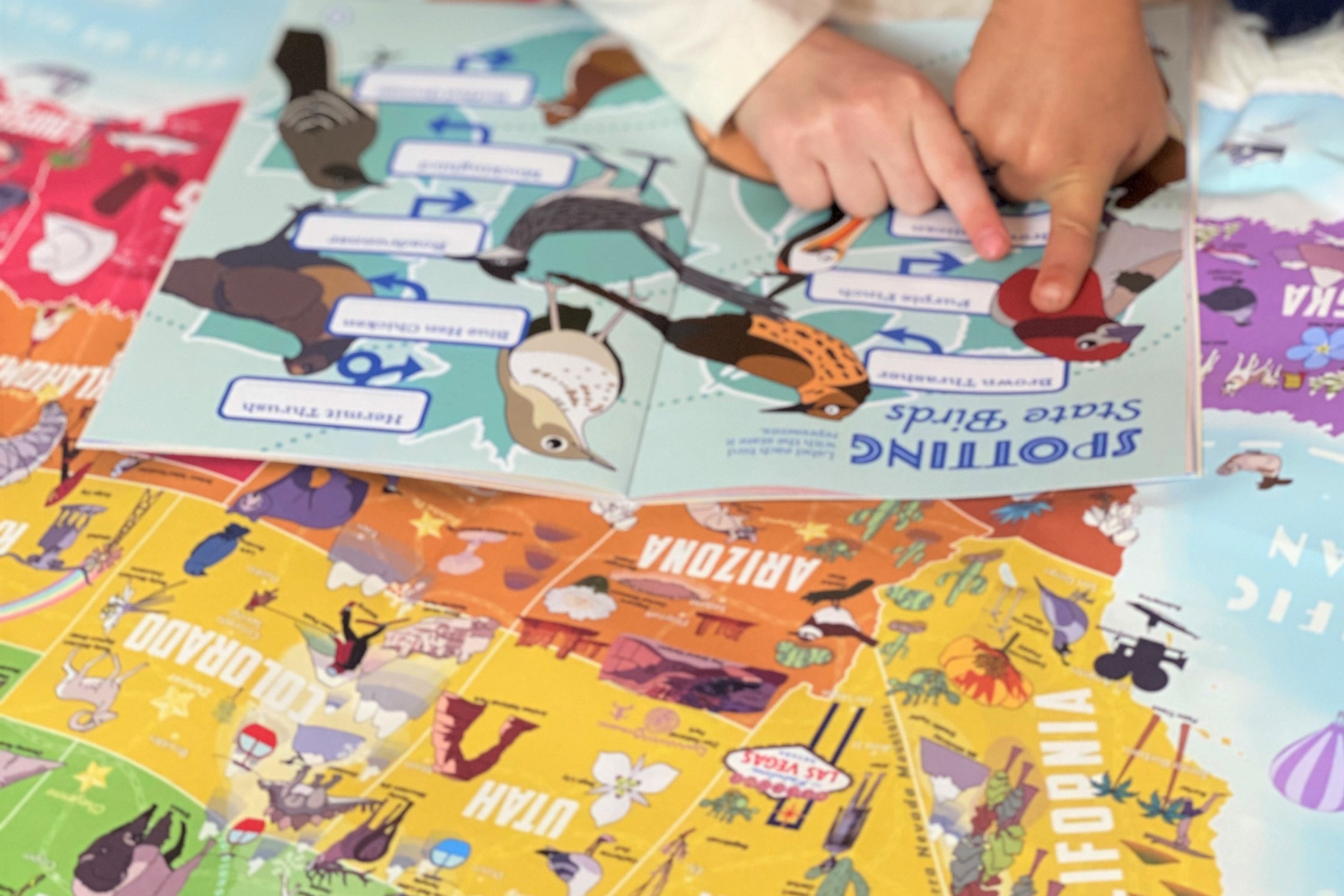
Learn the geography of each state and their symbols with our fun coloring maps.

Draw and label each state's flower, bird, and animal in the map.  Be creative! Think of a theme for your map and make it a masterpiece!

Learning Goals: These maps are ideal for learning the shape of each state and their state symbols.

Build Your USA Capitals Atlas:   This Atlas is a collection of USA state maps illustrating the capitals for every state.


Complete as many of the states as you can to create your Atlas of the USA and become a Geography Whiz!  

Learn the geography of each state and their capitals with our fun coloring maps.

Draw geographical features on your map.  Be creative! Think of a theme for your map and make it a masterpiece!

Learning Goals: These maps are ideal for learning the shape of each state and their state capitals.


We recently hosted an educational online session where we encouraged children to engage with our California State Symbols Map and learn more about the state that they live in!
world coloring map
educational games for kids

Coming Soon:


USA State Landmarks Atlas

_____________________________________________________________________________________________________________________________
This Atlas is a collection of USA state maps  illustrating the topography, major cities, national parks, historical sites,
amusement parks, and special geographic features in every state.


Share your masterpiece!
Share images of your maps with us and we will feature them in our Atlas Gallery!
email your maps to: gallery@geojango.com
 
If you are looking to purchase a map for your child, please see Maps for Kids

Name a country on the map: