Elevation Map of Utah, Topographic Wall Art

Rated 5.0 out of 5
Based on 1 review
$69.00

Most orders ship next day!

Standard maps will enter production right away, within the next business day. Larger orders may take more time.

All push pin board maps (framed or canvas wrap) include push pins, are easy to hang, and ship free in the continental US. We'll select the optimal shipping method for fast delivery.

For personalized maps we collaborate closely to guarantee satisfaction. Expect a proof to be sent to you. Your swift responses will facilitate the production and shipping process.

30 Day Returns

If there are any problems with your map we will take care of you. Returns for all maps are straightforward and hassle-free.

For personalized maps, engaging with the email proofs we send ensures that the final product meets your expectations precisely.

We have 30+ years of cartography experience, meticulously craft each order by hand to ensure excellence, and 100% guarantee your satisfaction. We produce maps that are built to last, with state of the art production and archival quality materials.

Personalize Your Map

Customize with quotes, legends, or dedications using "Personalize Map" options to craft your masterpiece map. Or reach out to us if you don't see the option you want.

We collaborate with you from design to approval of your proof so that you are 100% happy before we print and ship.

Our excellent customer service is always open to you.

Elevation Map of Utah Topography Wall Art

Description

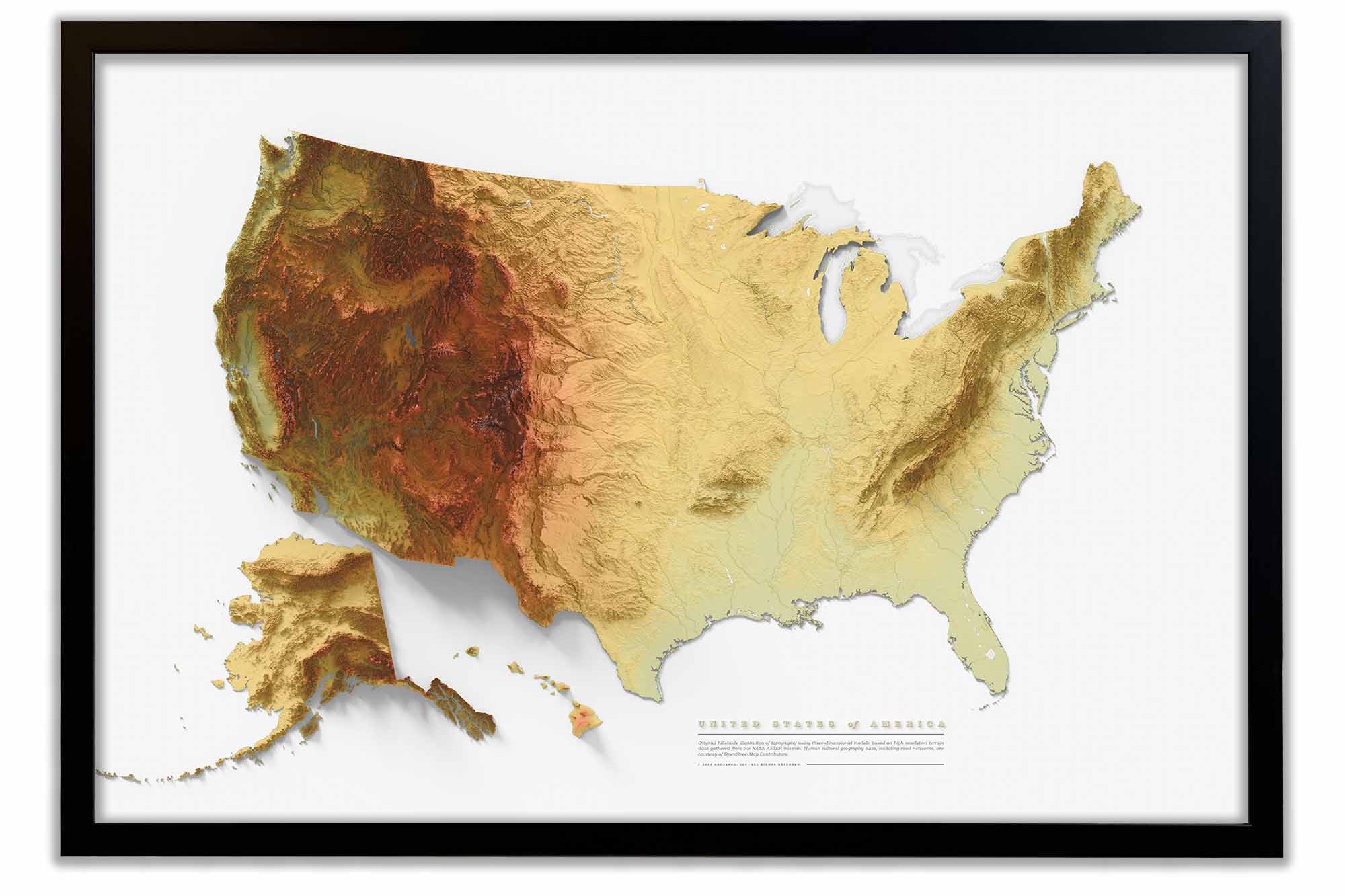
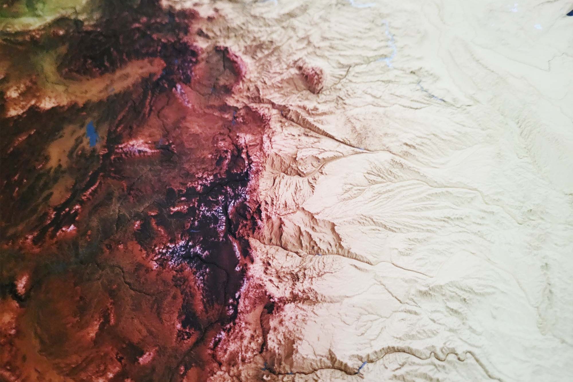
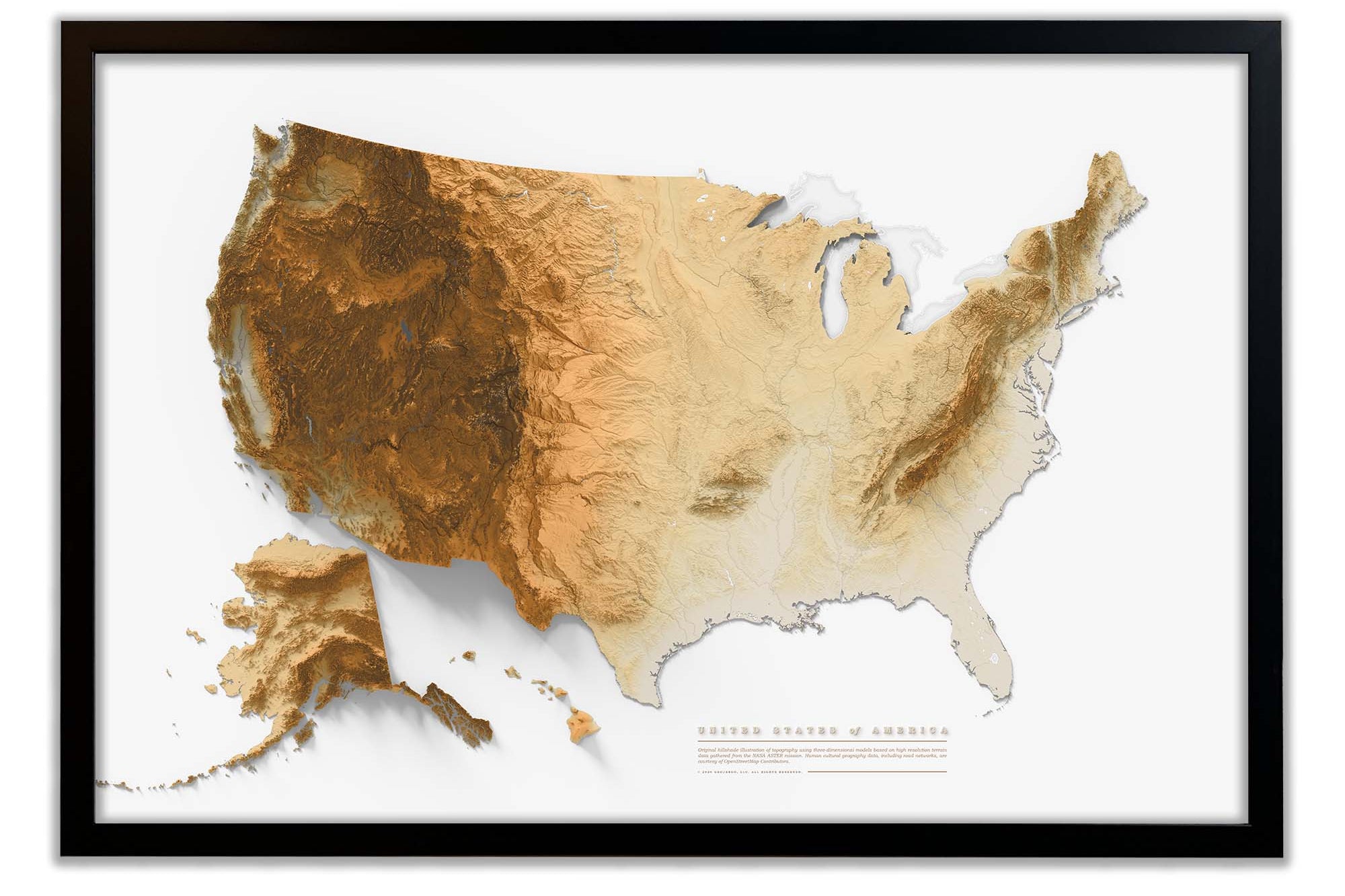
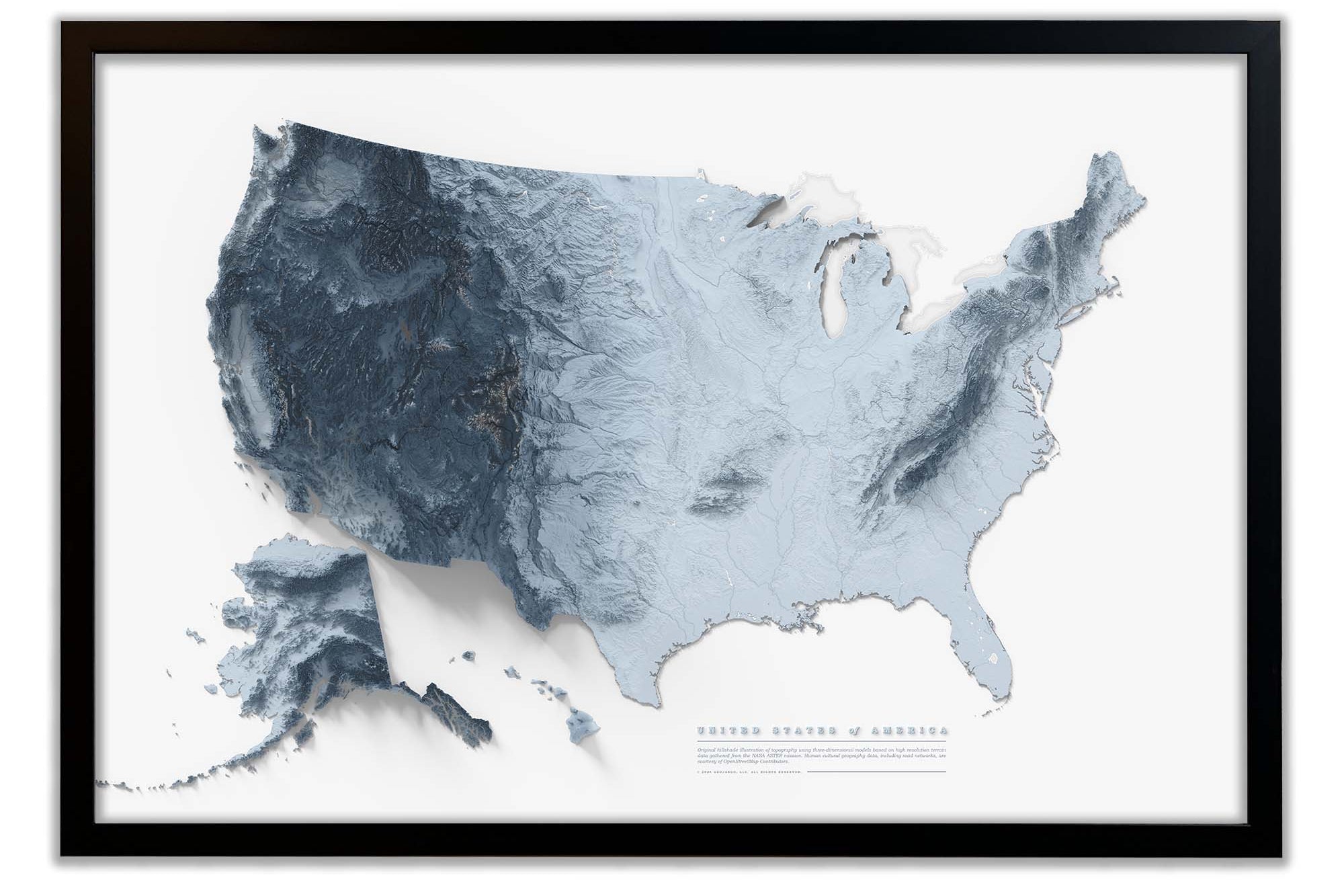
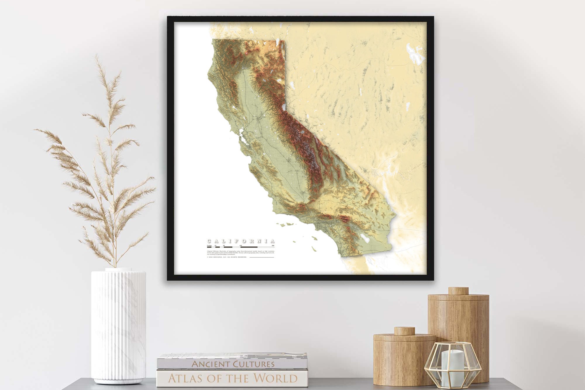
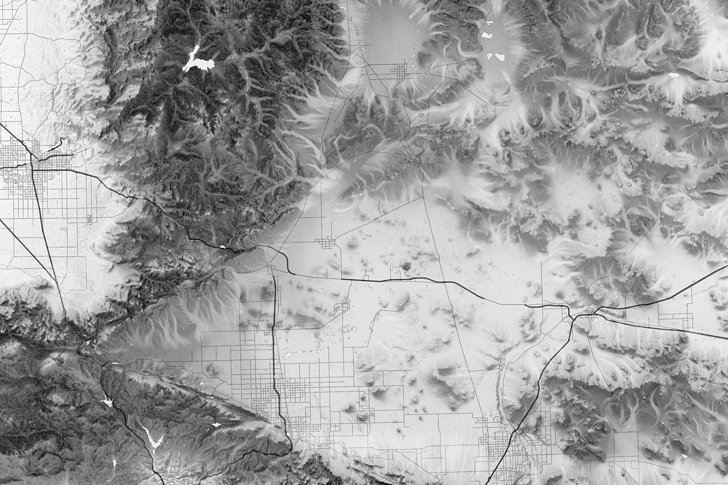
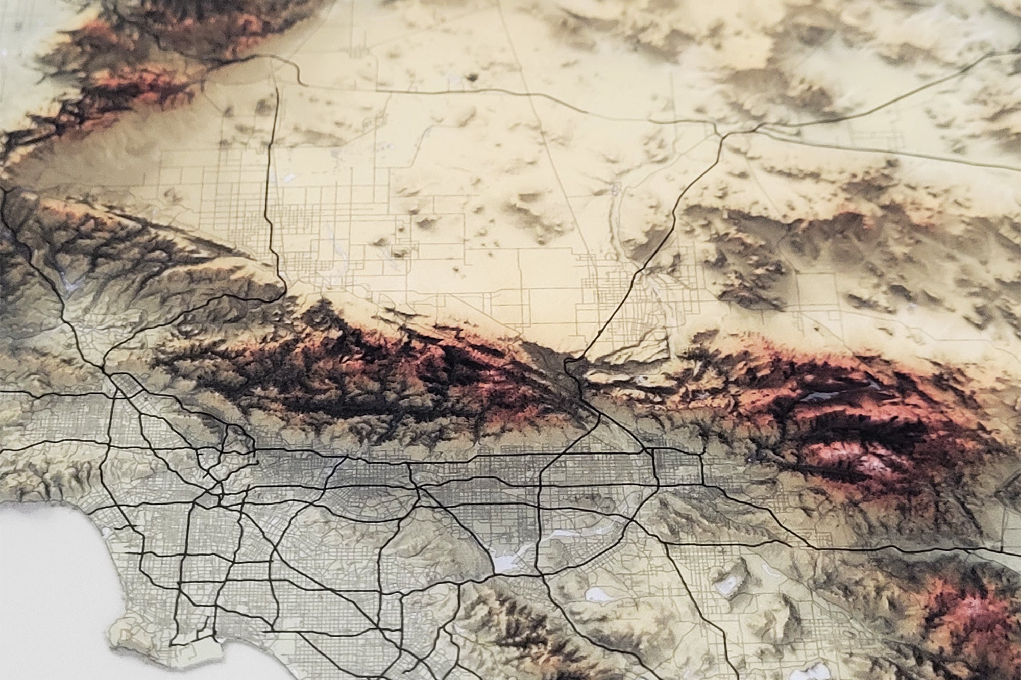
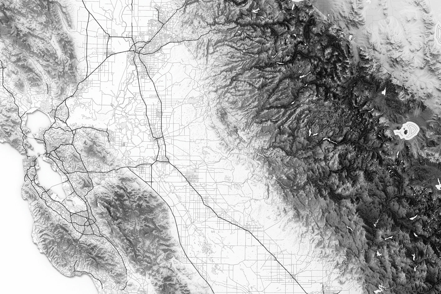
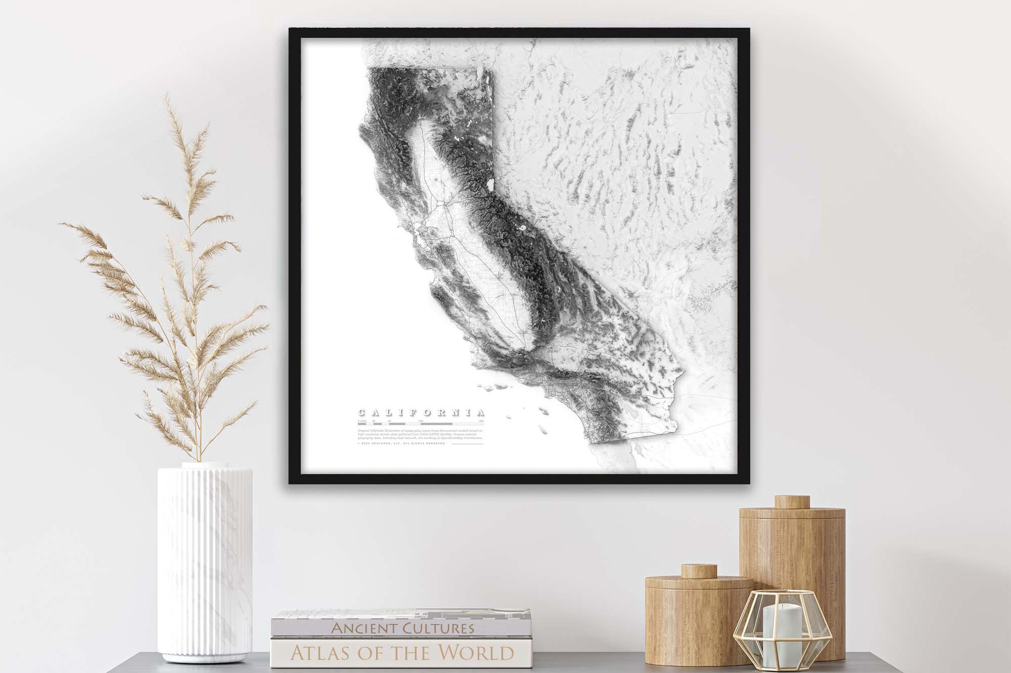
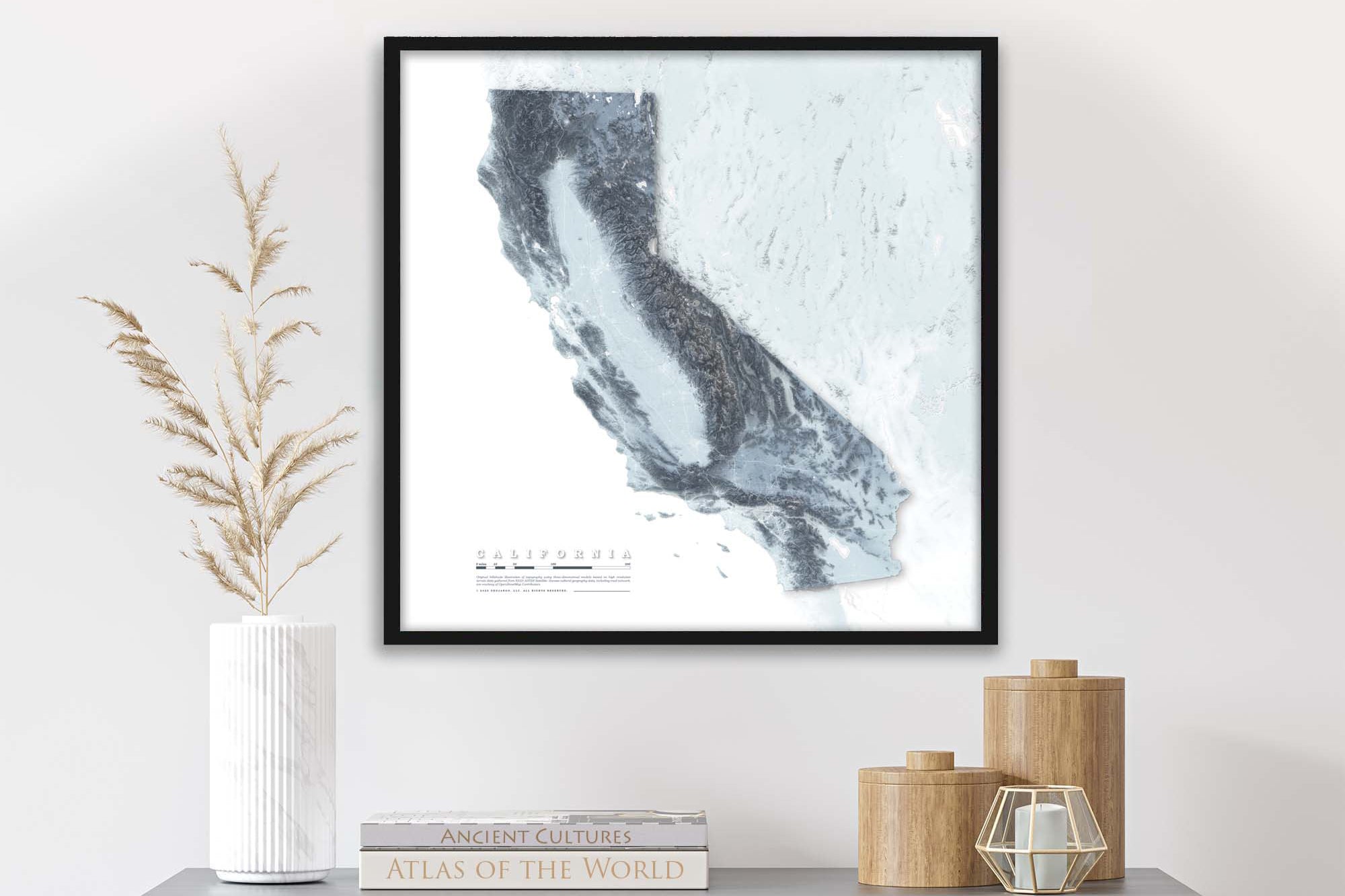
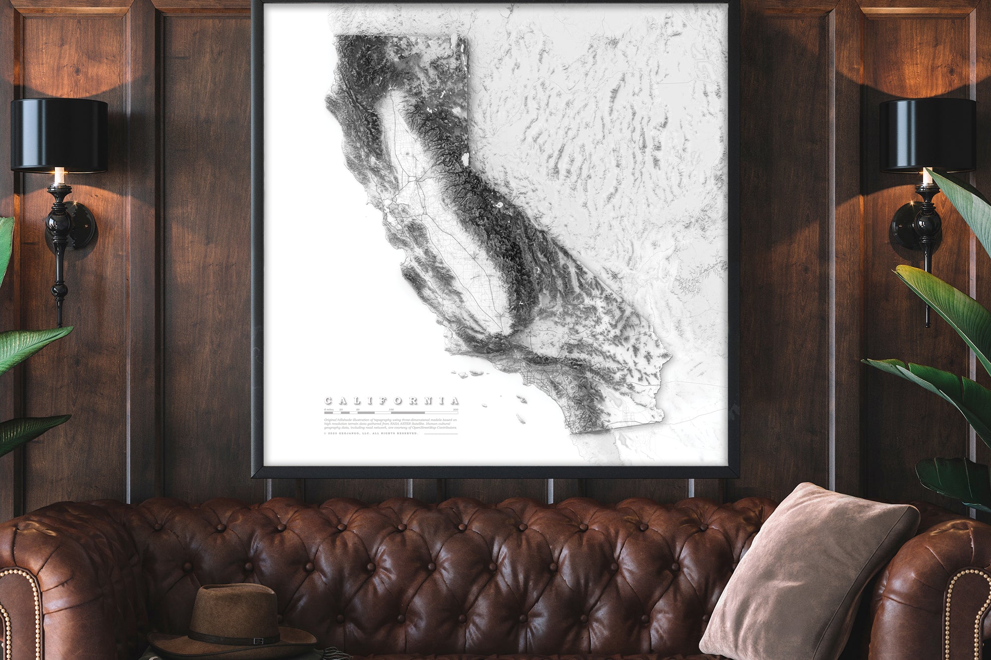
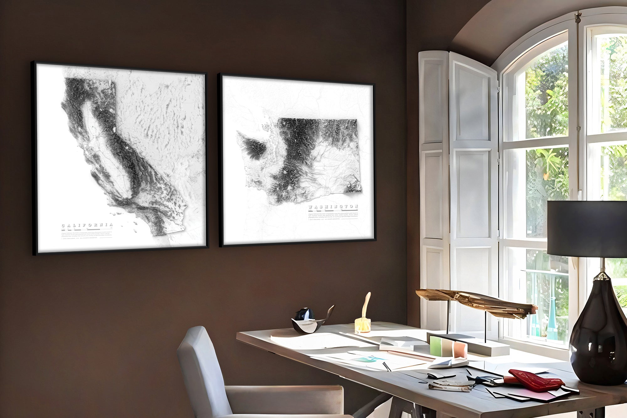
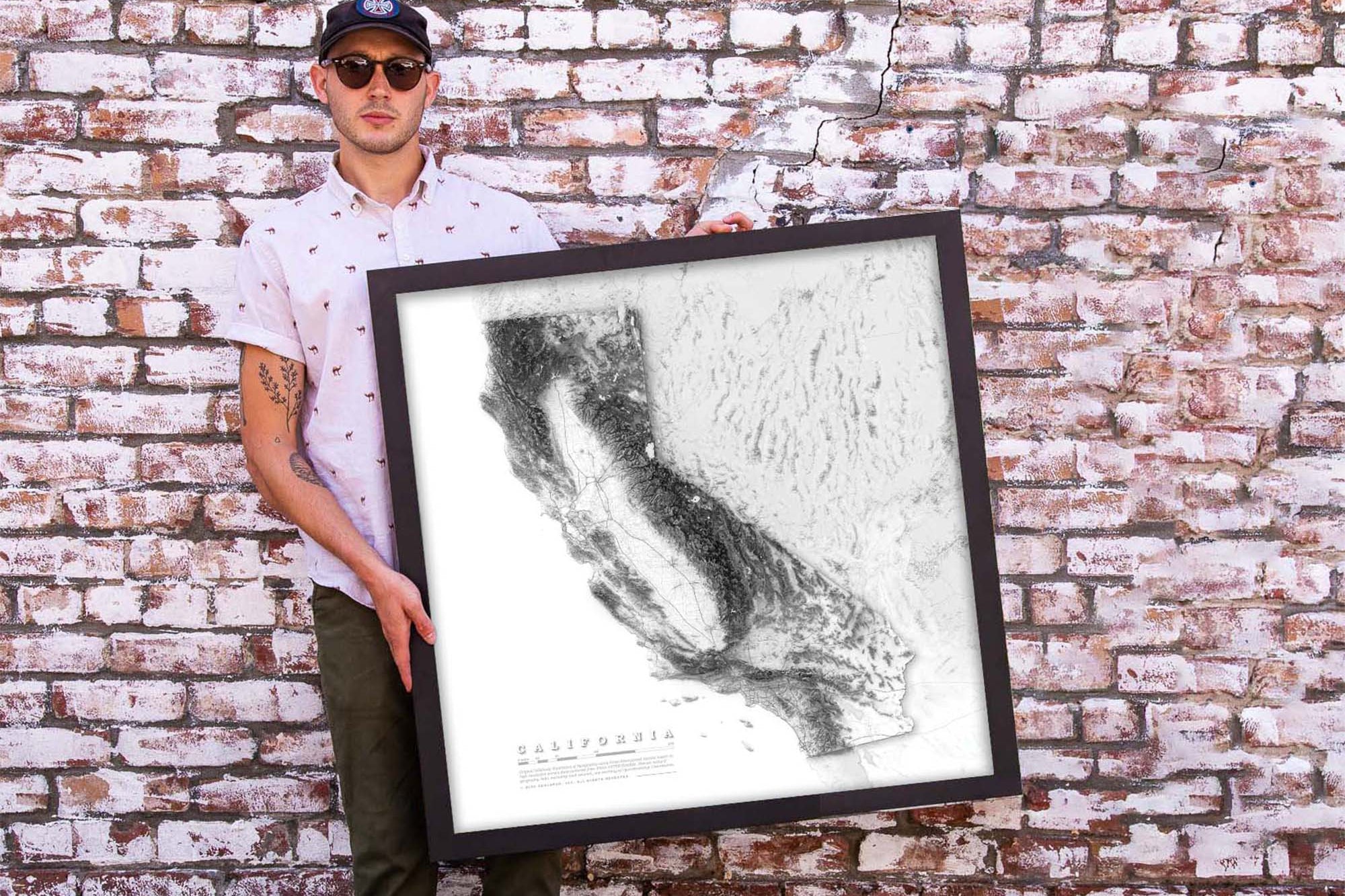
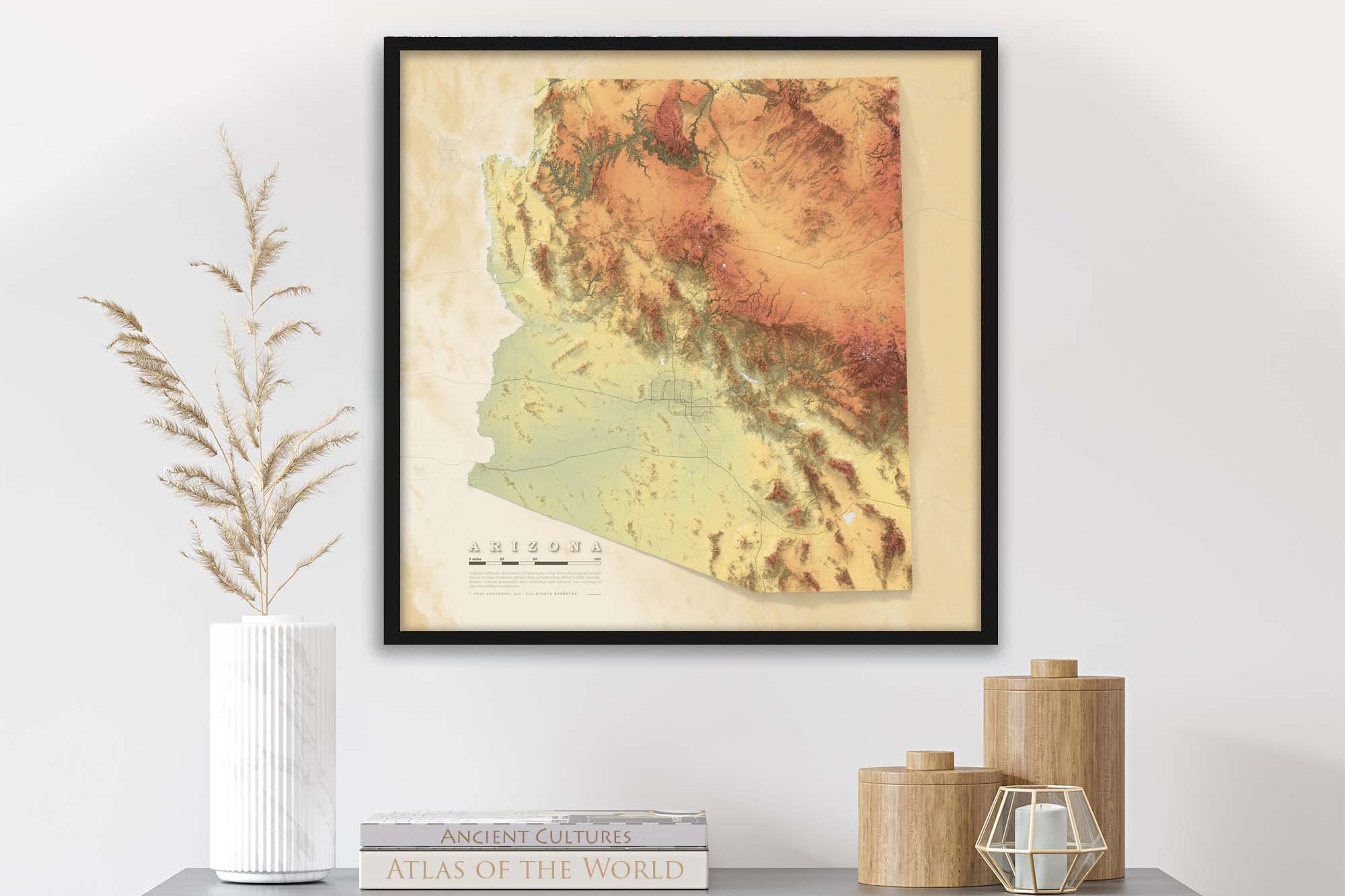
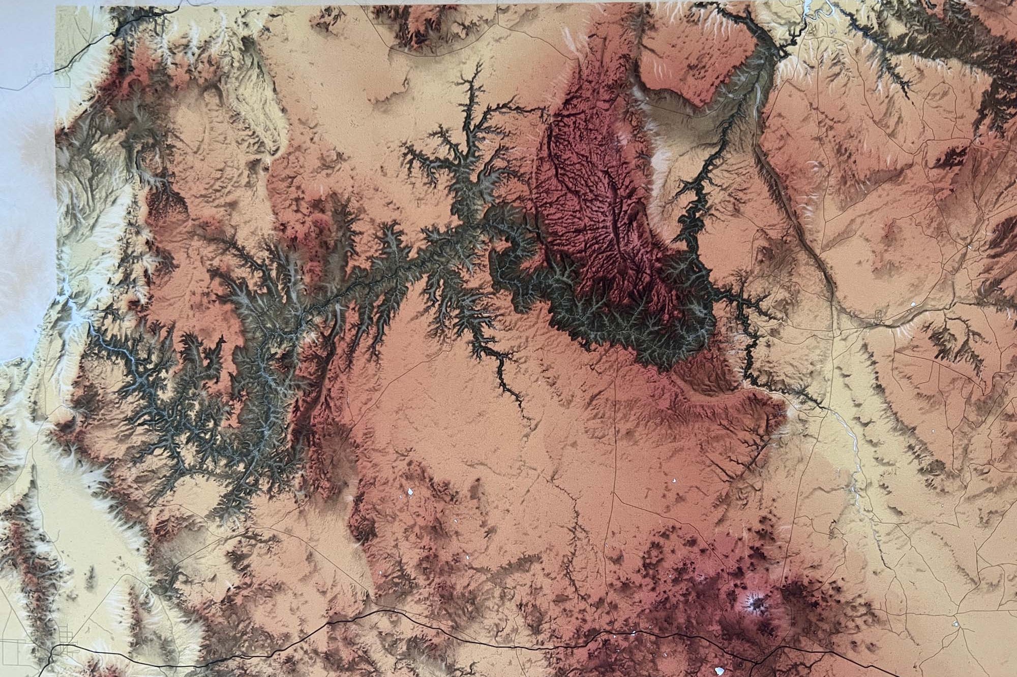
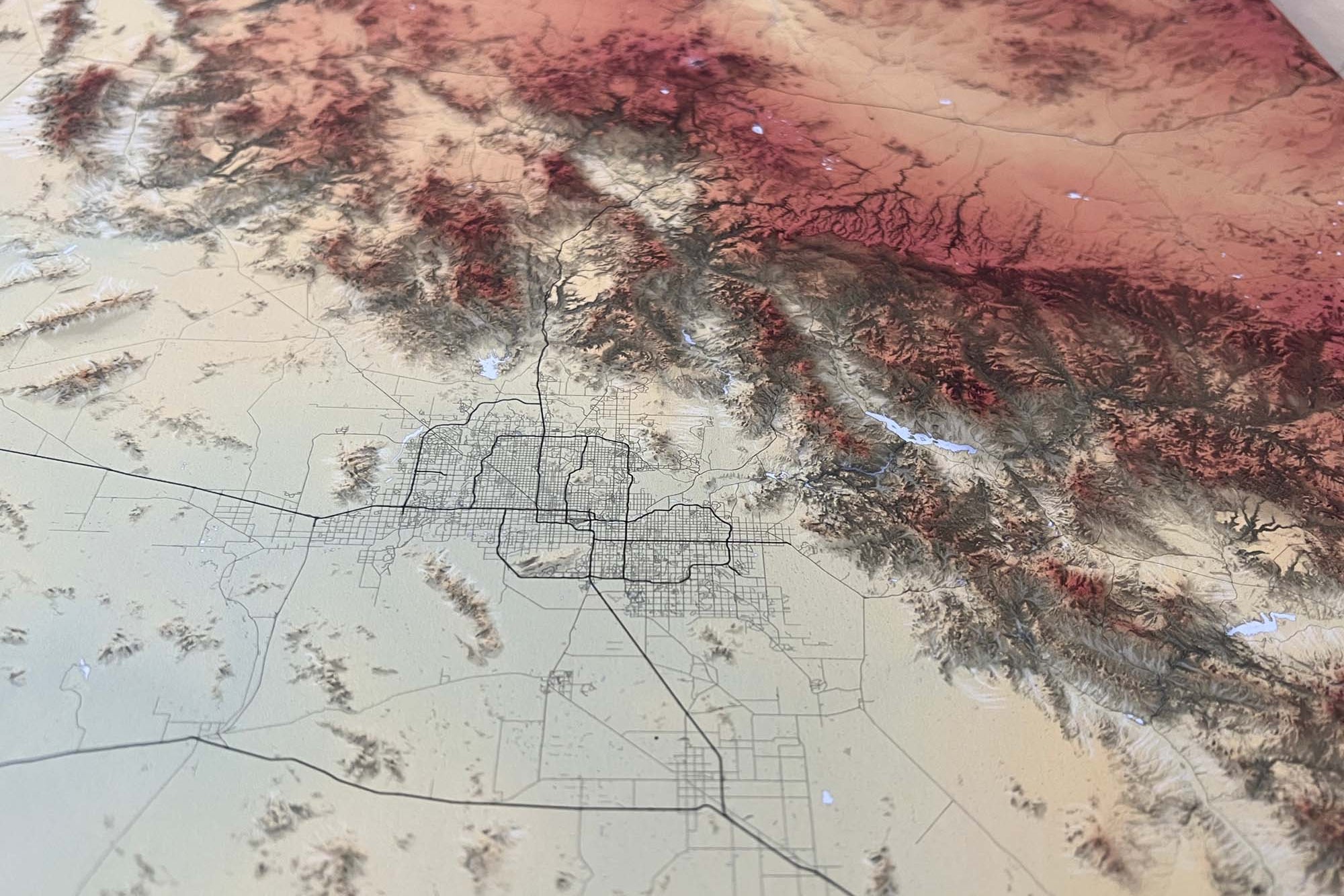
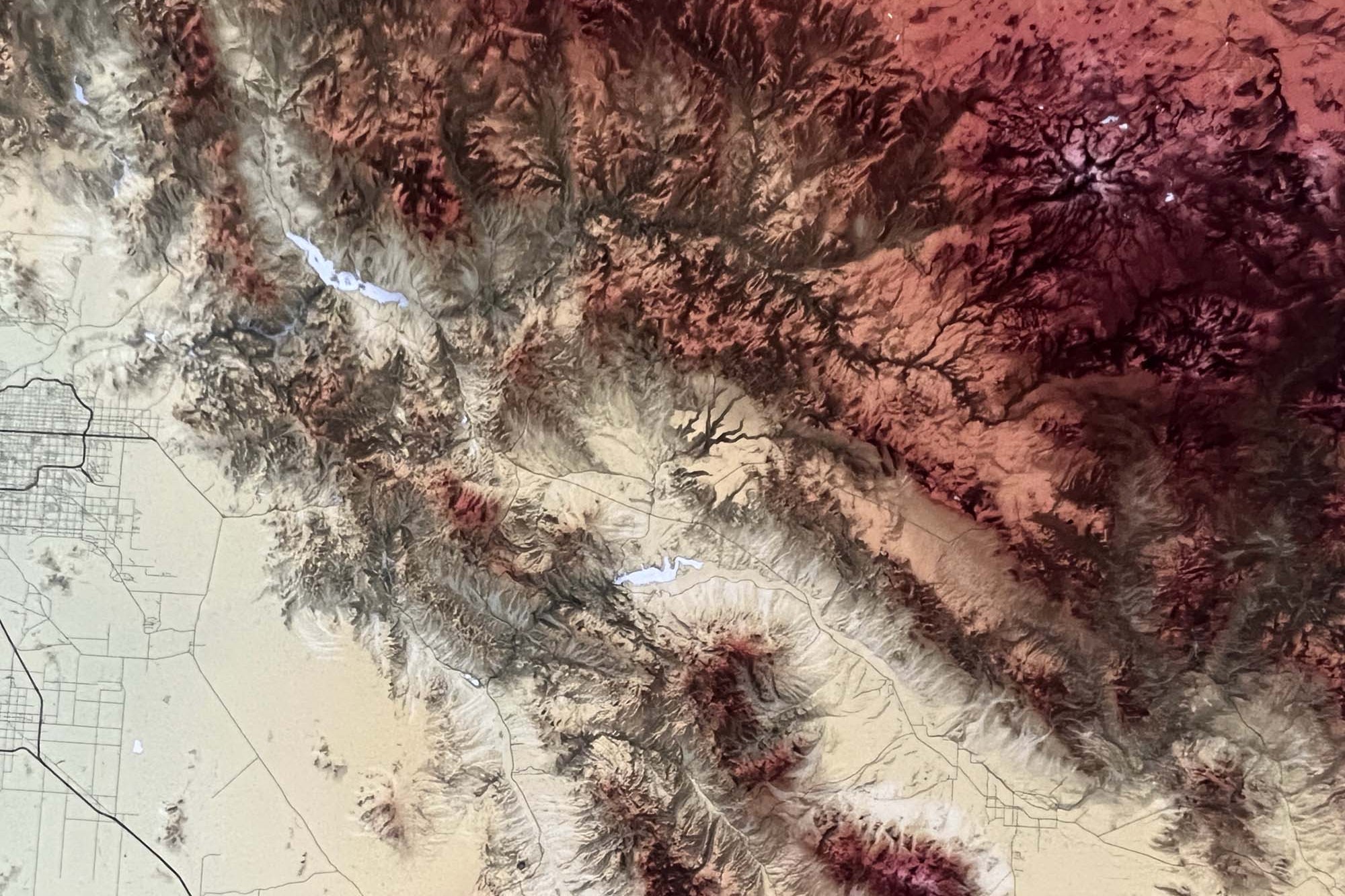
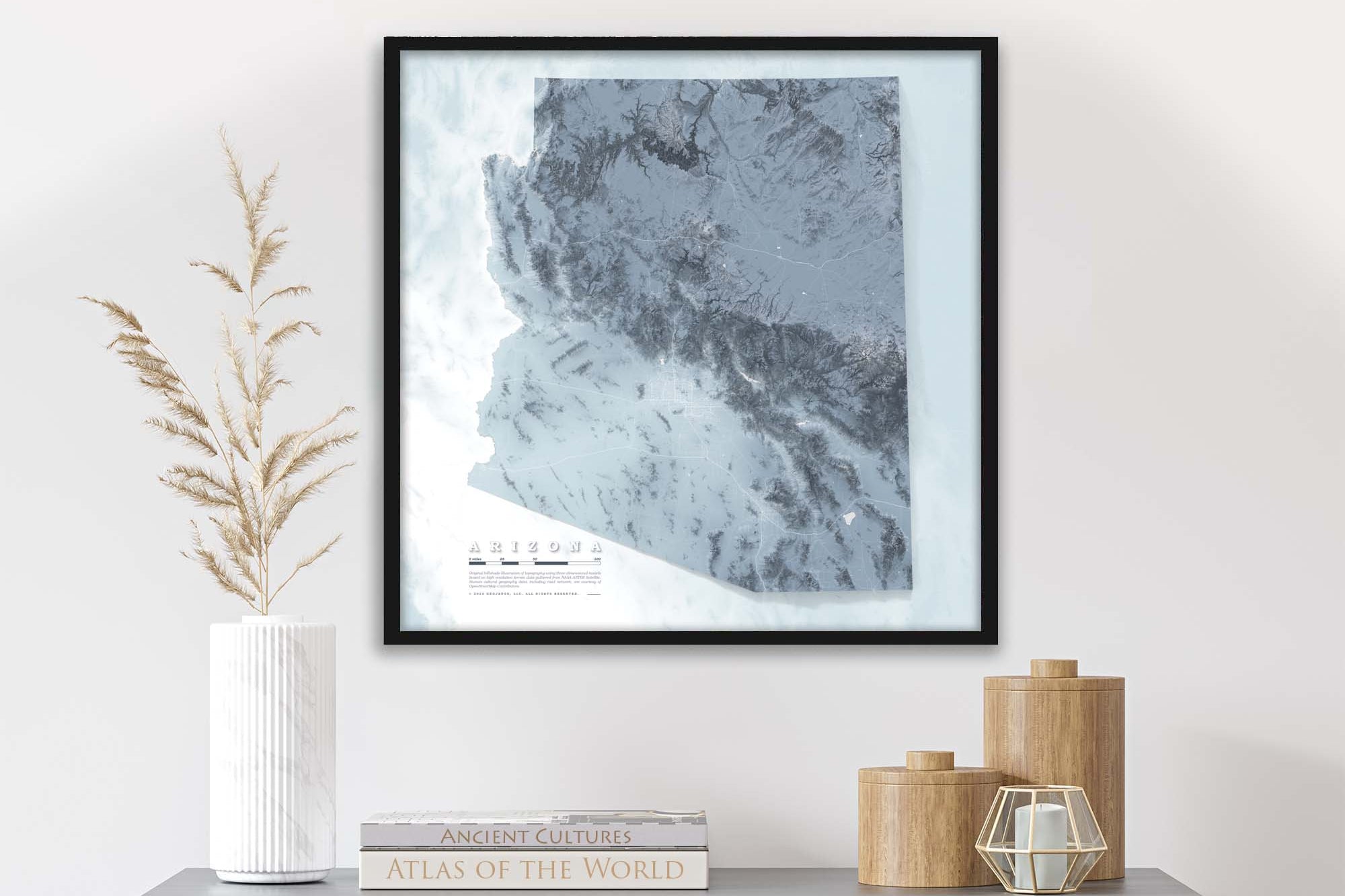
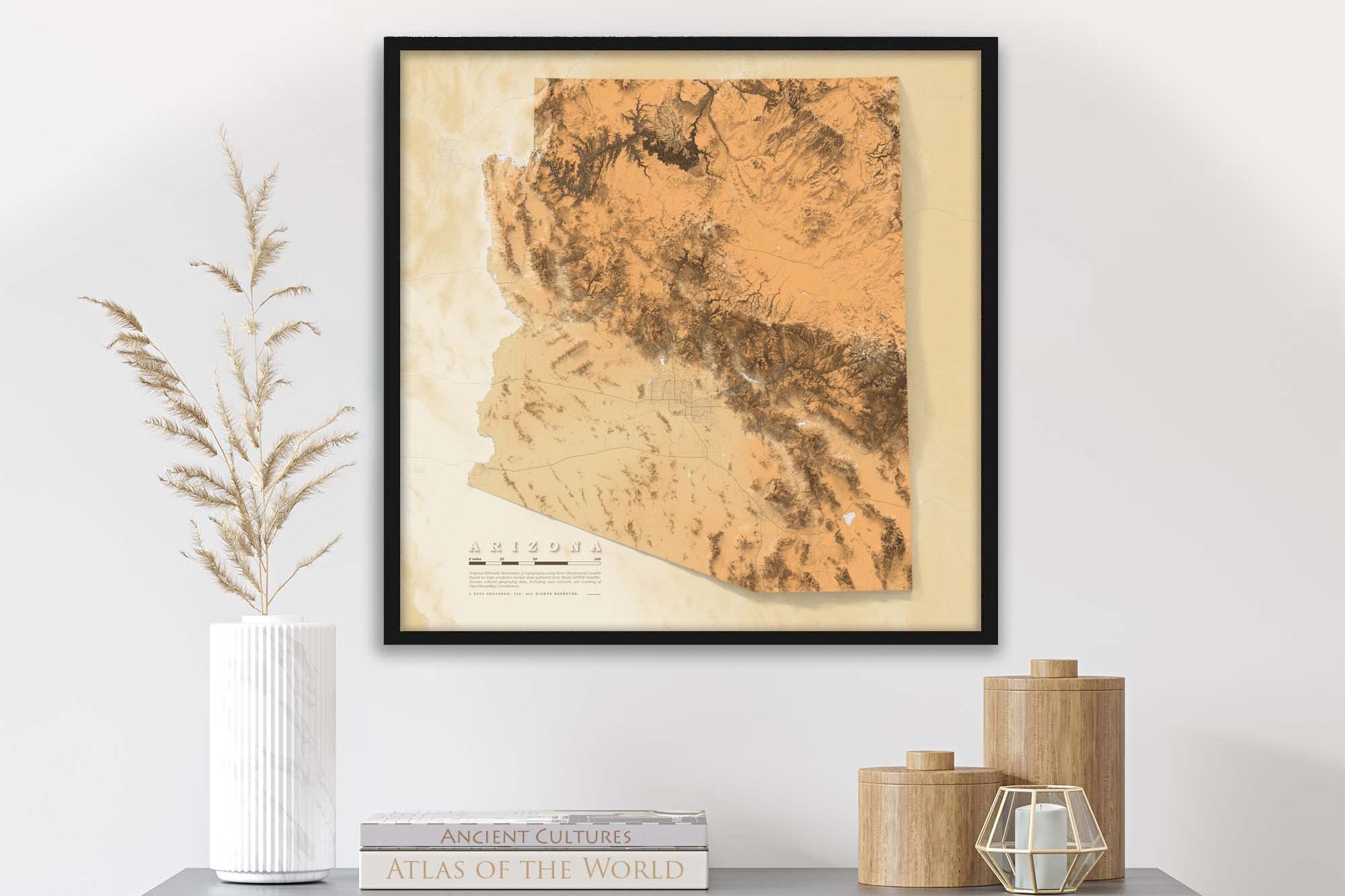
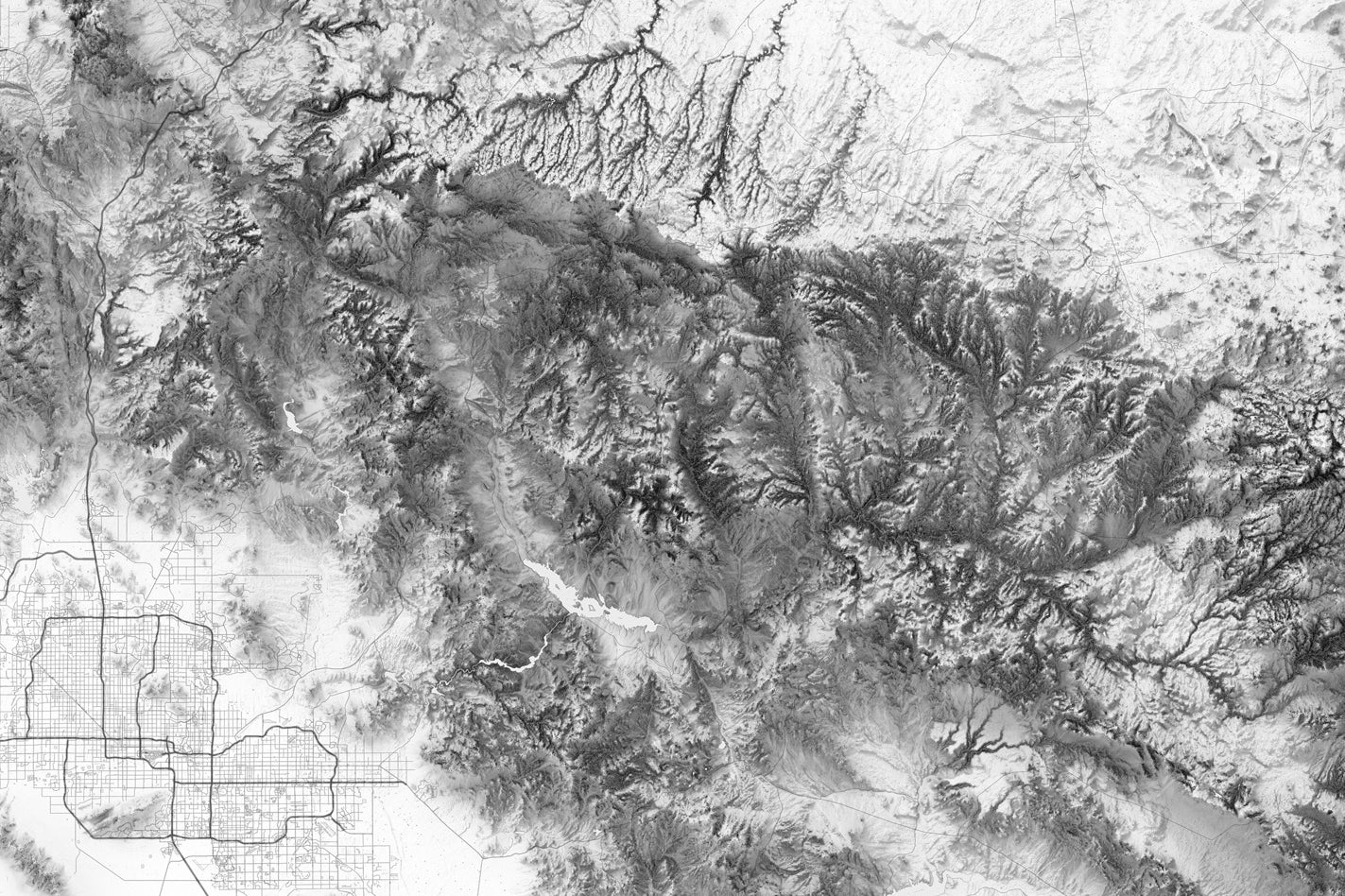
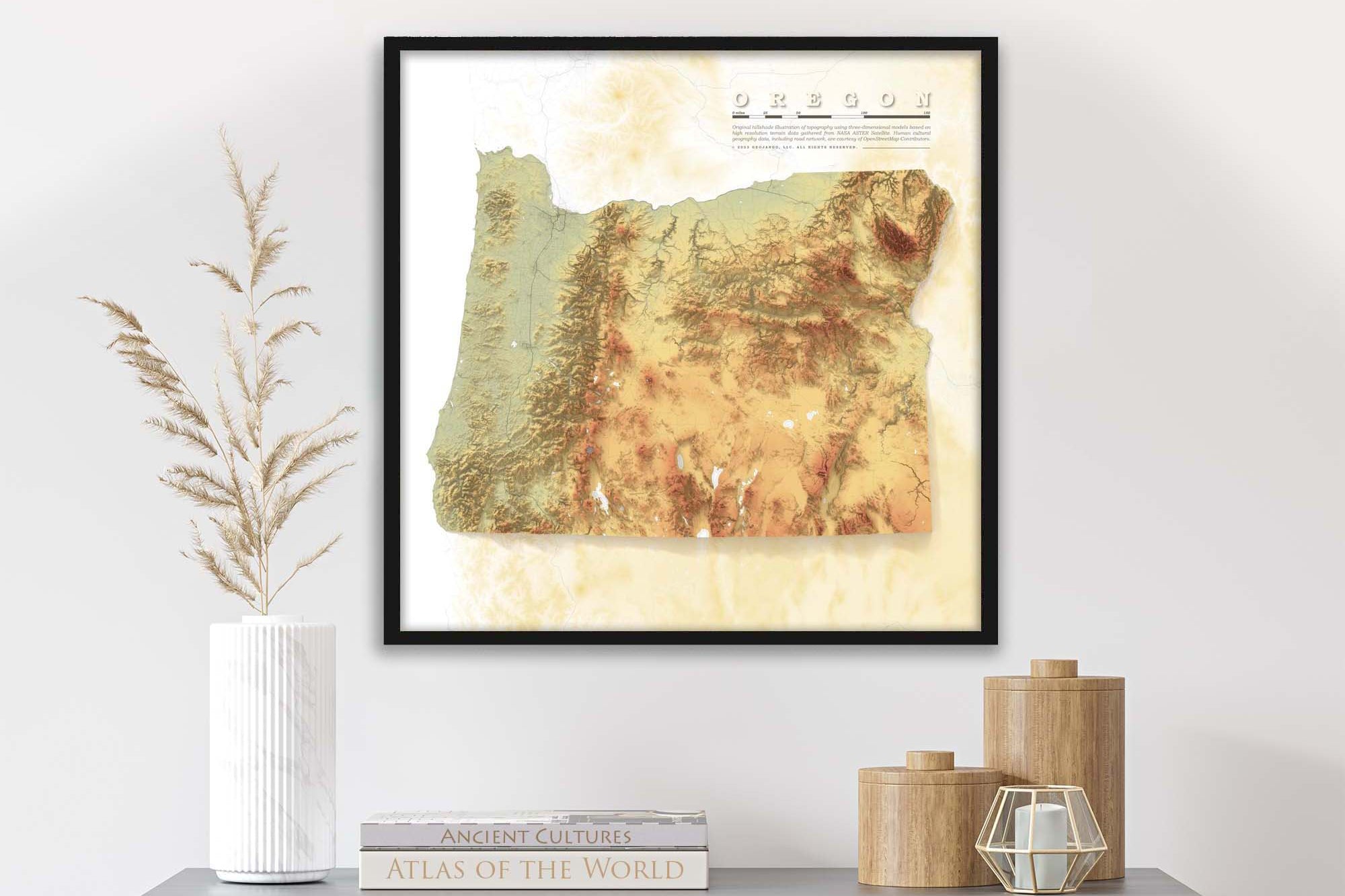
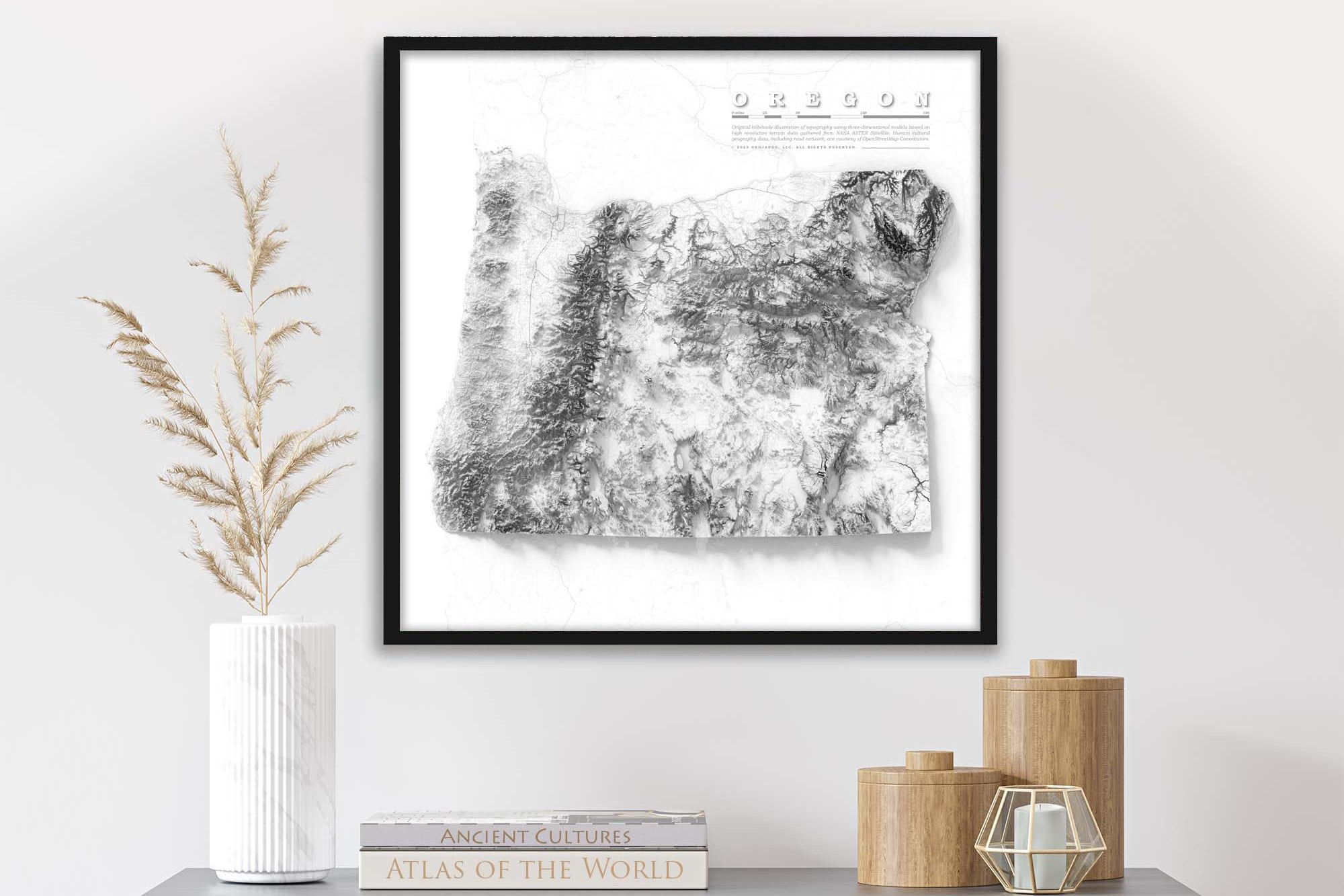
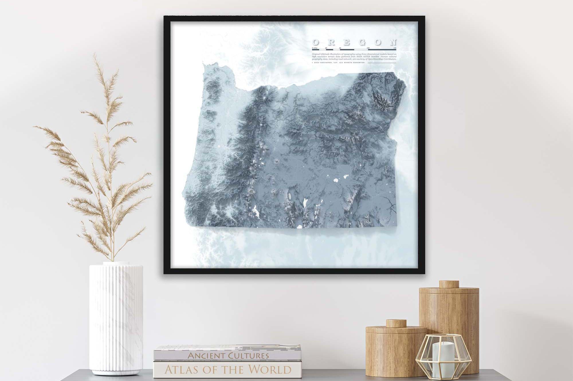
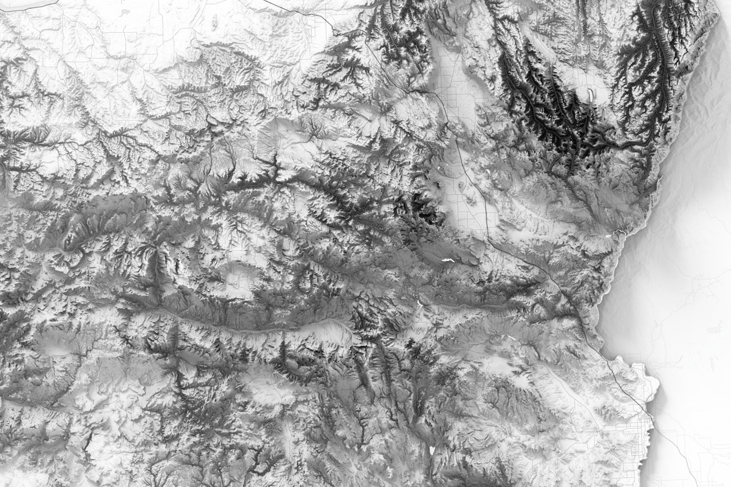
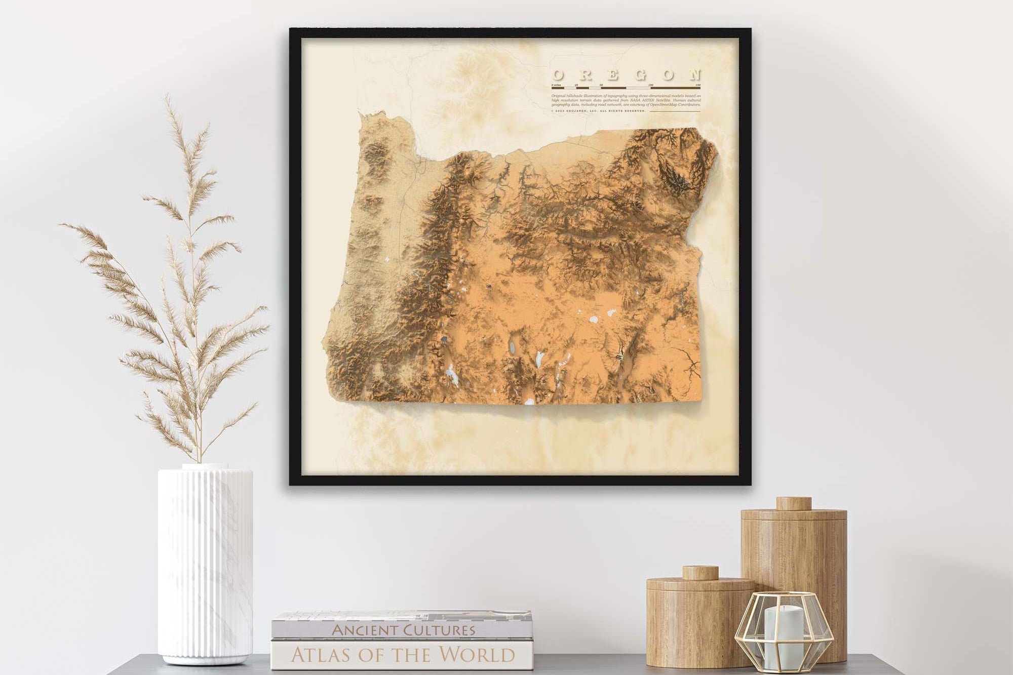
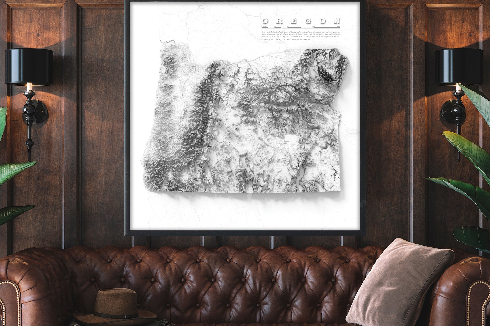
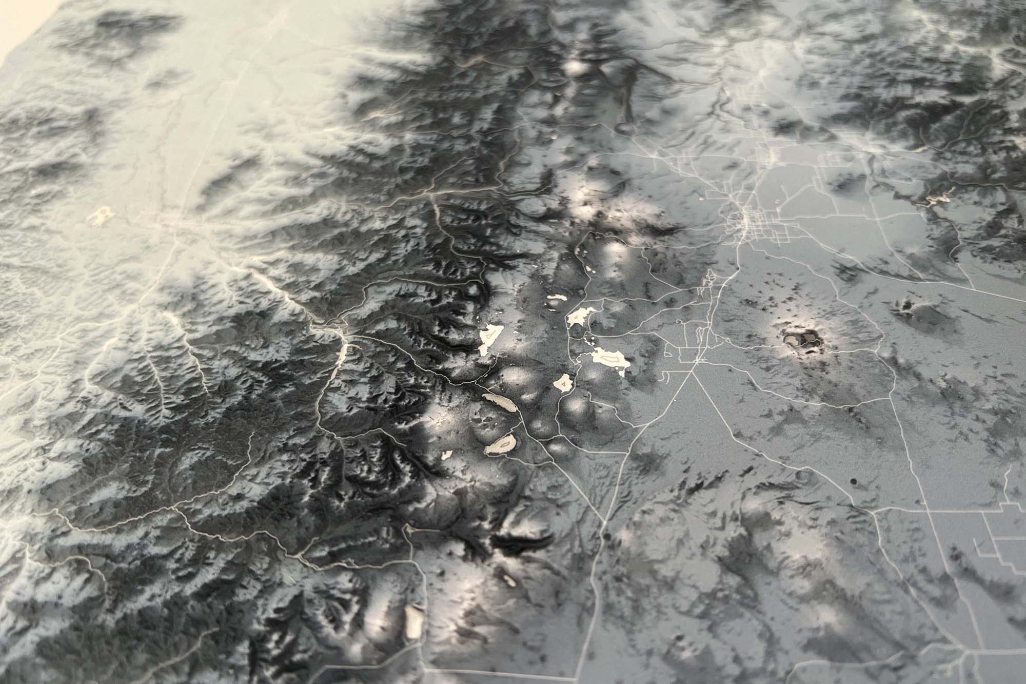
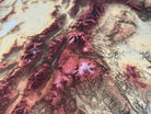
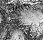
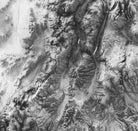
About the Map: Introducing the beautiful Elevation Map of Utah Fine Art Print, the perfect addition to any home or office space. This exquisite print features the intricate details of Utah's topography, showcasing the towering peaks of the Wasatch Mountains to the sweeping desert vistas of the Grand Staircase-Escalante National Monument.

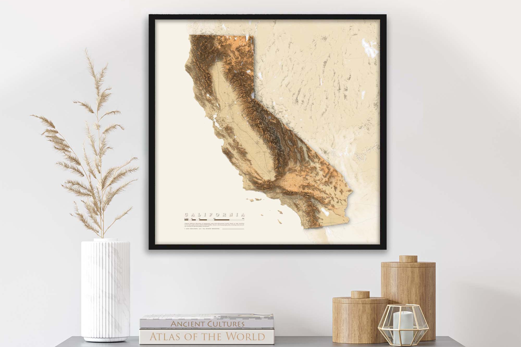
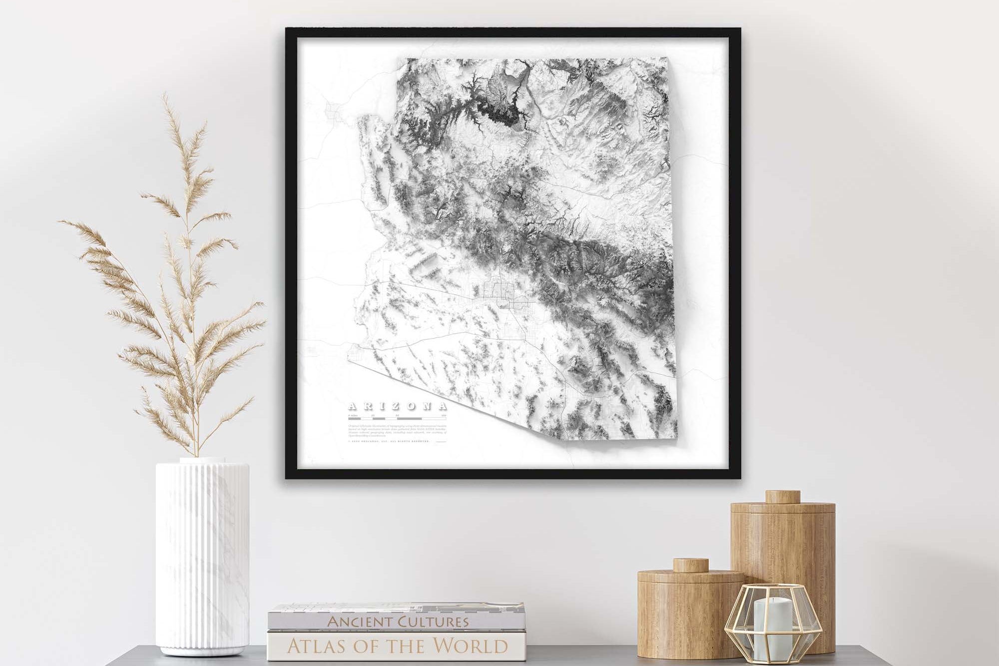
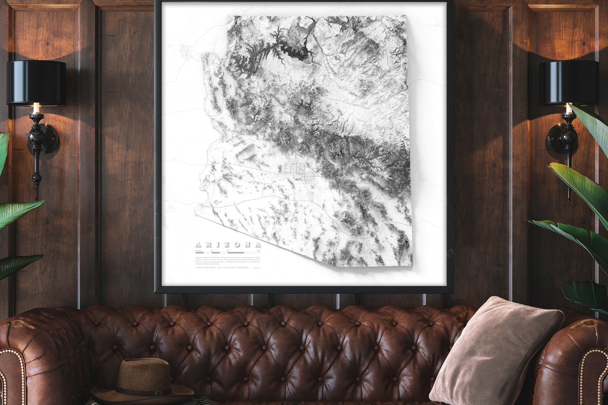
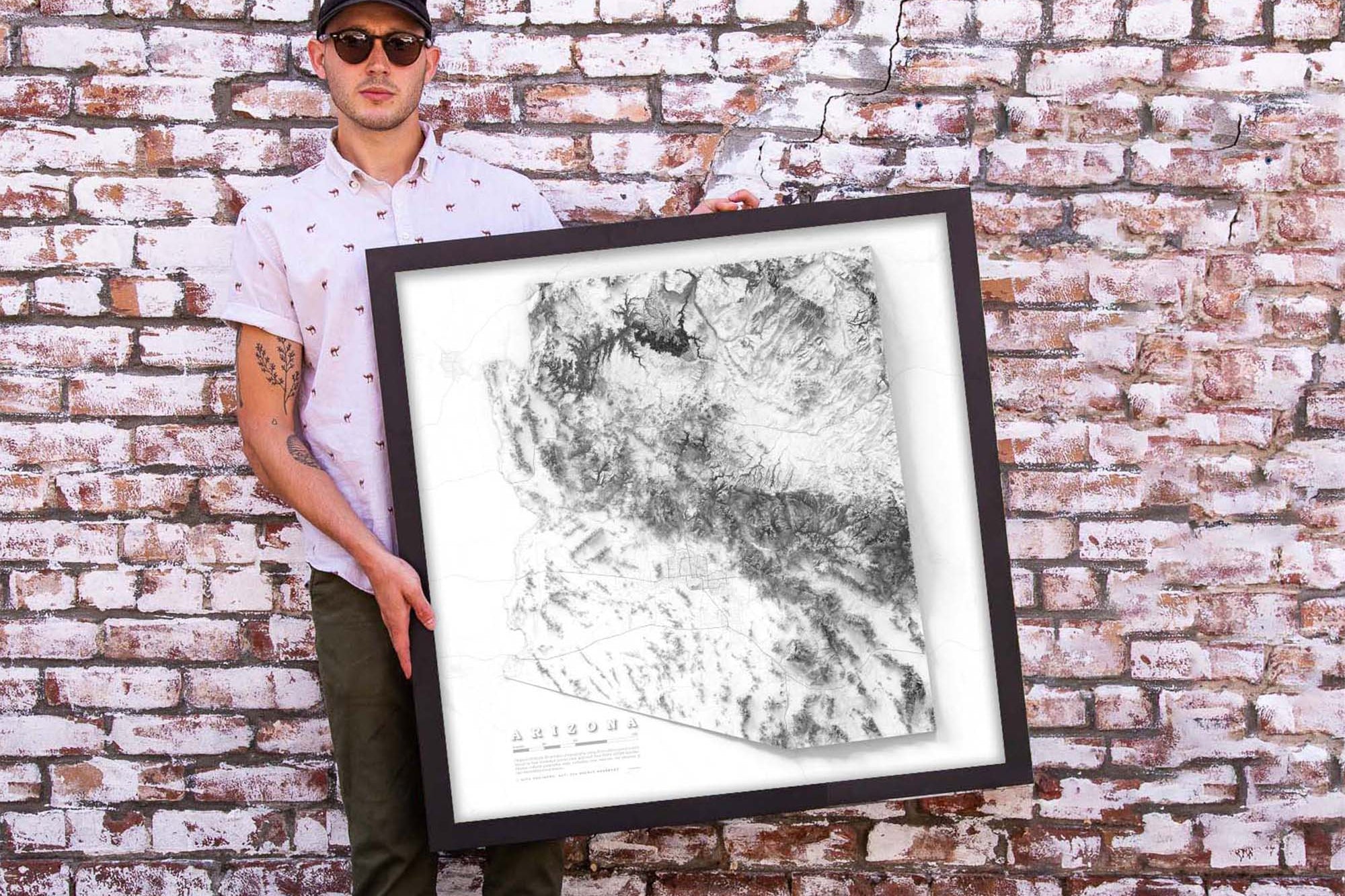
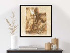
Elevate your space with the Elevation Map of Utah Fine Art Print. Order yours today and experience the breathtaking beauty of Utah's topography like never before. Order as framed map or fine art print.

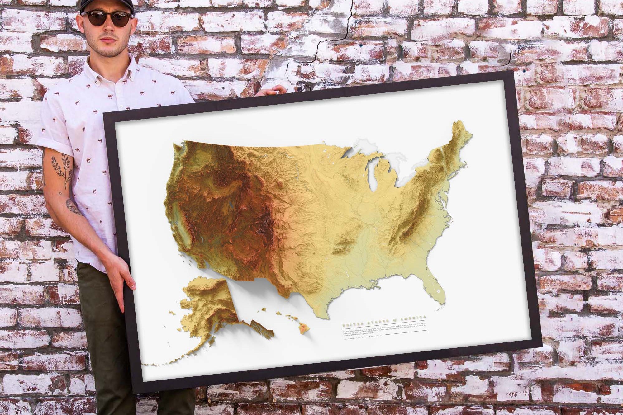
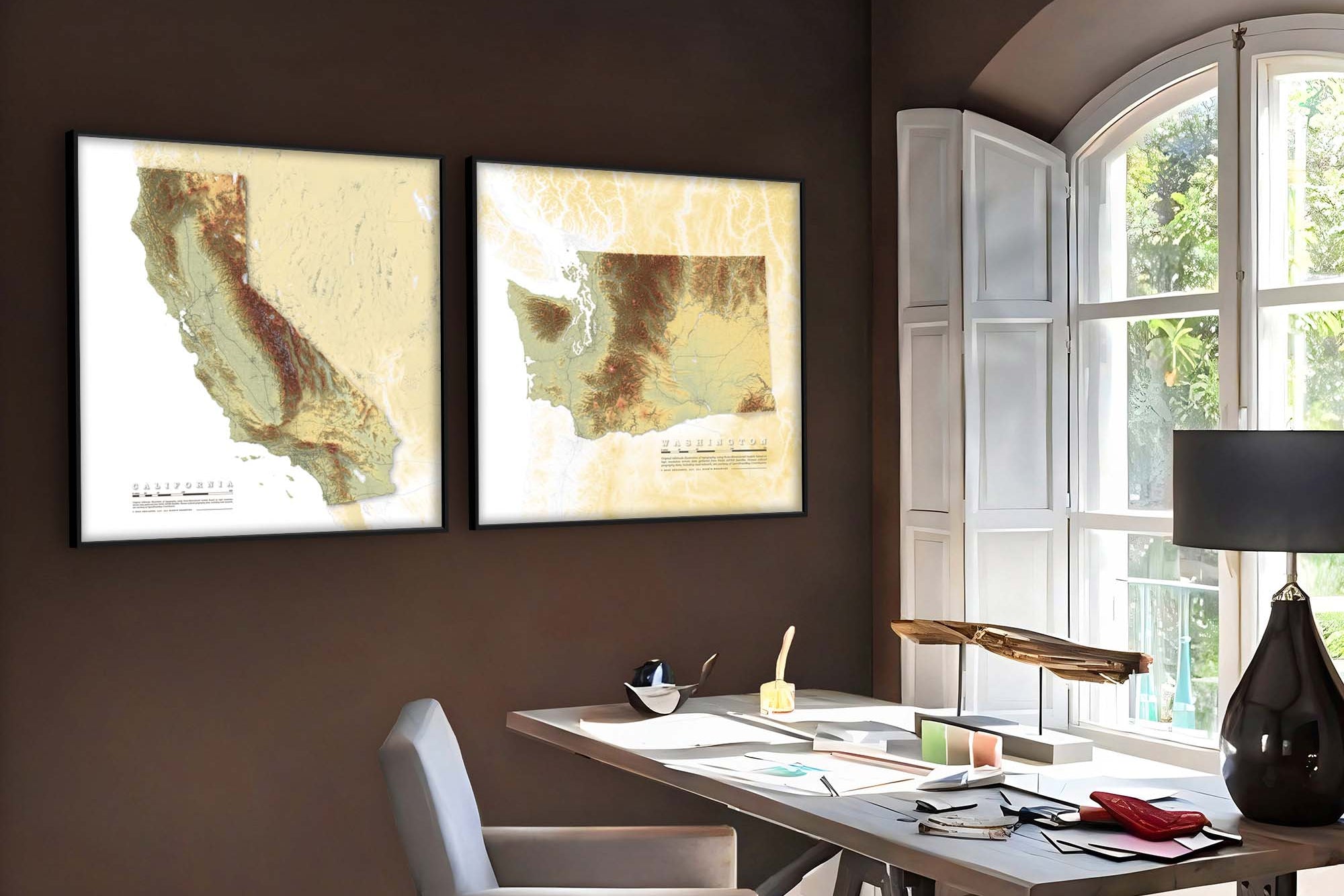
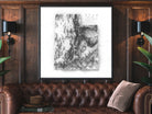
Beautiful & Informative Map Wall Art:  Group your favorite states together to create a beautiful display in your office or home.

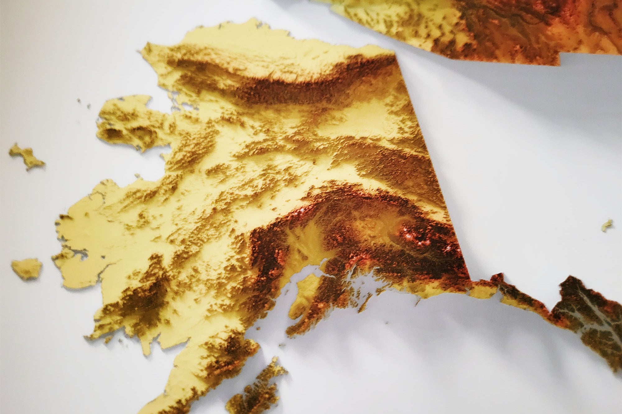
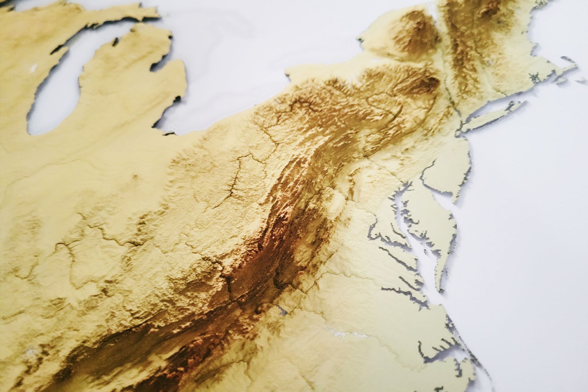
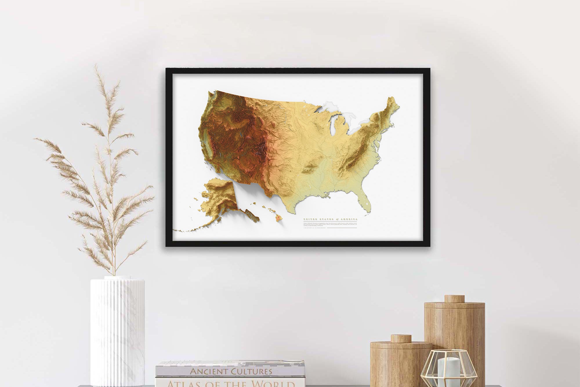
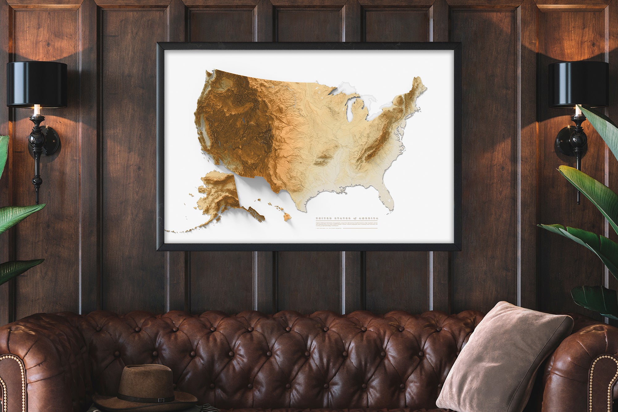
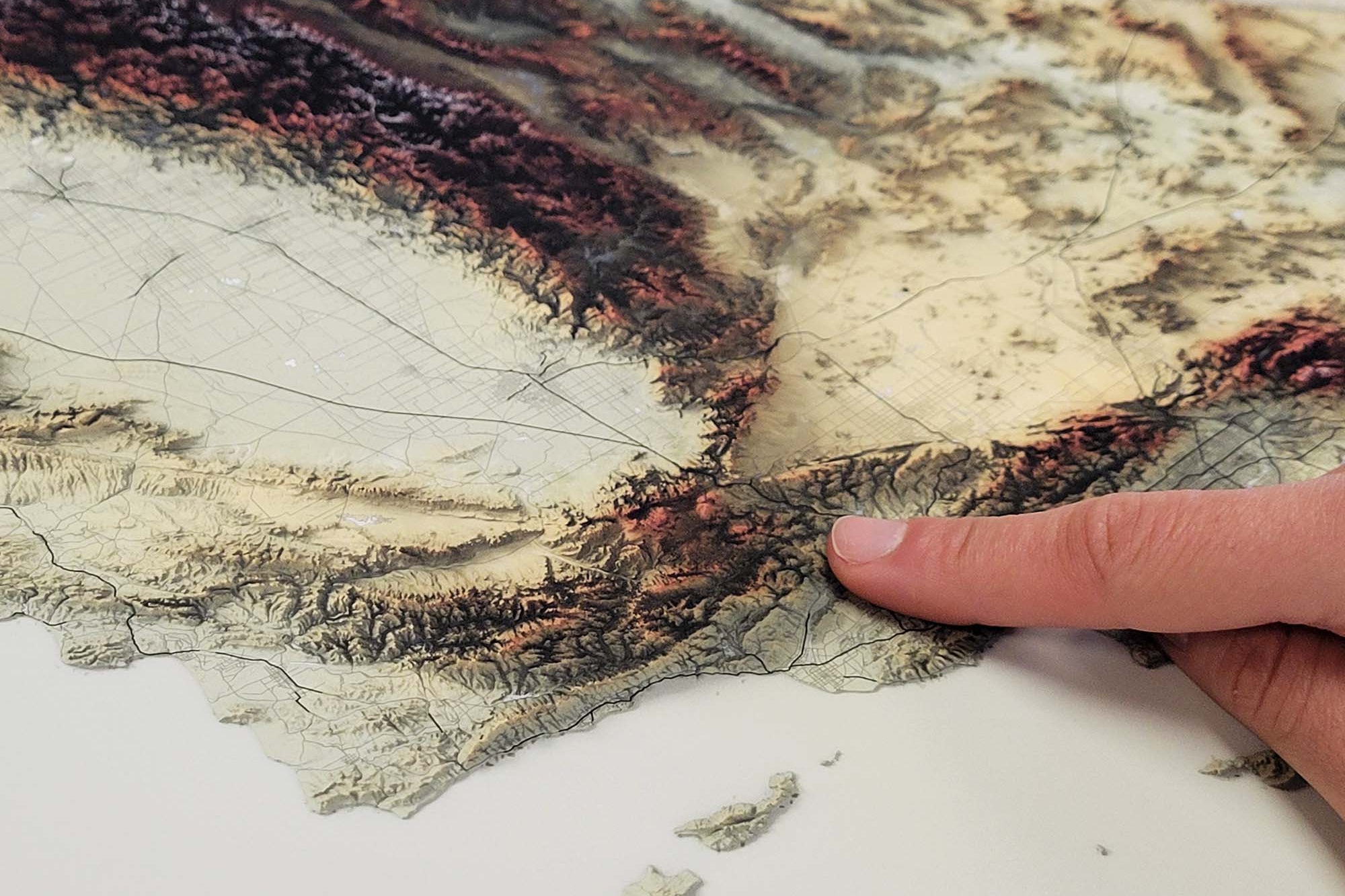
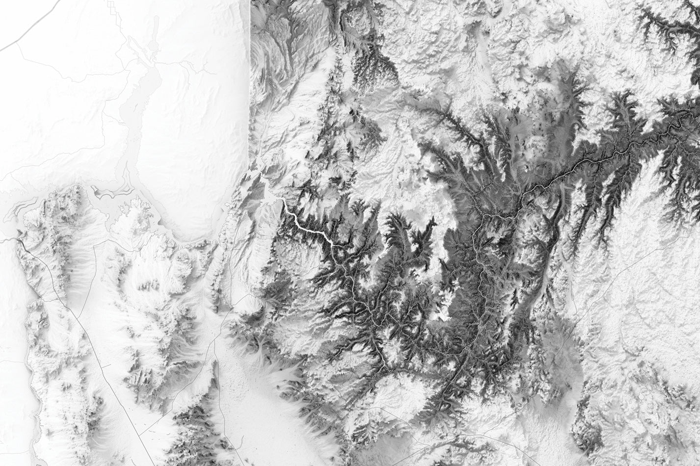
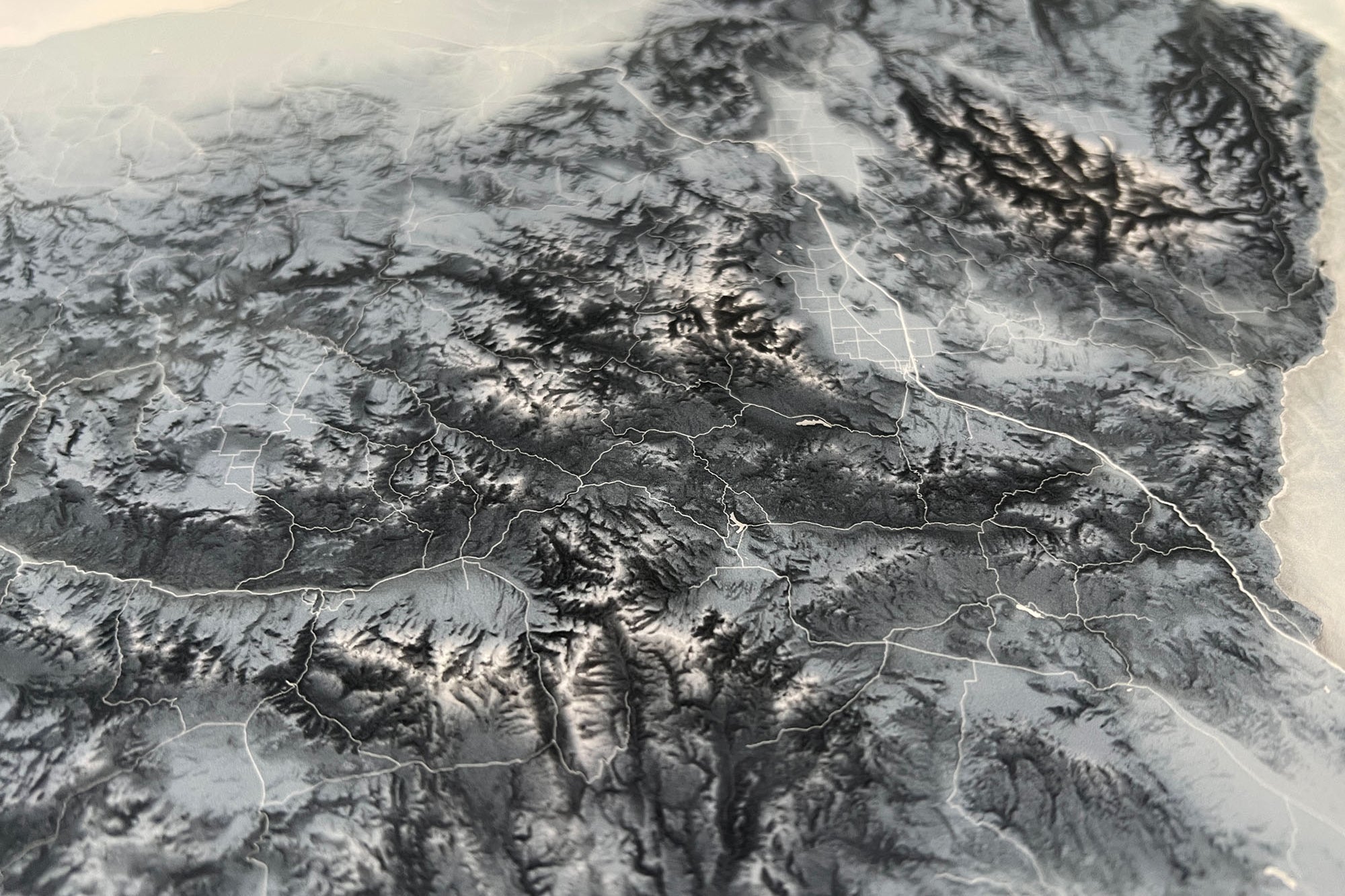
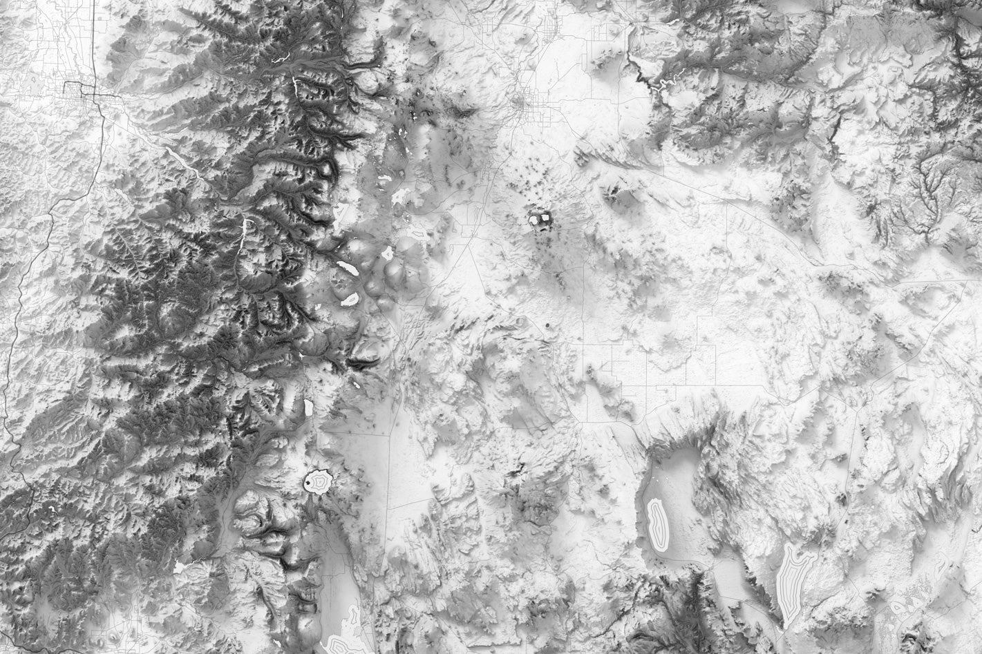
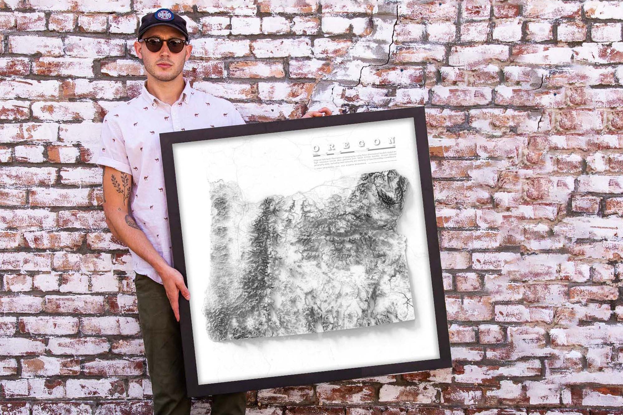
Product Format: This a flat map with rich terrain depth to visualize the landscape. Although it looks 3-Dimensional it is produced as a flat map.

Learn More: Check out our blog on Shaded Relief Maps to learn more about the art and science that goes into creating these beautiful maps.

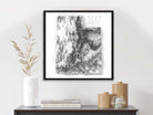
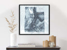
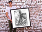
Frame Selection: Black Frame

Geographical Data:  Our Utah wall art map was created using a combination of satellites and developed entirely using numbers, measurements, and GIS software.

We use the USGS LandSat satellite to visualize the landscape on land and NOAA's bathymetry data to visualize the elevation and topography of the sea floor. The famous Space Shuttle Radiometric Topographic Mission, SRTM Data, is used to gather the elevation height for the land. With the data, we applied a hill shade to visualize the shading effects (at 3 p.m. everywhere Earth). This is most visible in the largest mountain regions.

Production and Shipping Times: The amount of time it takes for your map to arrive depends on where you live and how fast you approve the proof if you’ve ordered a custom map. See Production & Shipping.

Quality and Guarantee: We stand behind our work and guarantee the construction and quality. Contact us if you have any problems with your map and we will coordinate to ensure you are happy.

Specs & Construction

Customizable Options: Personalize your map with optional features like markers for tracking your travels, flags to mark your favorite destinations, or a custom title to make it uniquely yours.

Perfect Gift: Looking for a thoughtful gift for a friend, family member, or colleague who loves Europe? This map is an ideal present for any occasion, from birthdays to housewarmings.

Sizes available: 24x24 inches (square)

100% Made in the USA by a Small Women-Owned Business.  What sets our business apart from most map companies: we are a team of professional Geographers, Cartographers, and Environmental Scientists. We have a passion for making maps and take the profession seriously - to produce beautiful and accurate maps. We apply thousands of layers using GIS and use optimal projections that reduce distortions. Special cartographic features are intricately made on the map and carefully labeled. We include special details that most of our competitors miss - such as real oceanography, accurate projections, and comprehensive labeling and referencing. Our skills and craftsmanship make our makes stand out.

Museum Quality Fine Art Production: We have one of the nation's finest Fine Art Production Studios in the USA! Given all of the intricate work of our maps, we outfitted our studio with an array of Conservation Artwork products. We use archival material for all of our maps, from the print production - we use specialized printing equipment that produces the finest quality work to display vivid labeling, geography, and oceanography. If you are in the area, come visit us in Pleasanton, California!

Rolled Prints:  The map can be produced as Fine Artwork using Photo Satin Paper (for rich color depth and a modern smooth surface) or on Canvas (for texture). The Rolled prints / canvas is rolled in a tube for safe shipping. The map is not mounted to a pinboard as that requires a frame and large shipping containers. Map pins are not priced to include map pins. Please add them if you would like them.  

Framed maps are mounted and embedded in a pin board using heavy machinery for a lasting bond. The map is professionally framed (made in the USA) and carefully packaged with extra protection for safe delivery. All framed maps and canvas wraps are Ready to Hang with easy hanging instructions.

Canvas Wraps include a solid wood frame and pin board under the map. The map is hand crafted by a master craftsman (made in the USA) and carefully packaged with extra protection for safe delivery. All framed maps and canvas wraps are Ready to Hang with easy hanging instructions.

Hillshade Applied

ASTER satellite data uses a technique called stereoscopy. The system collects data from two overlapping and opposing angles. This creates a 3D model of the Earth's surface.

Fine Art Quality

Impressively produced with Archival Inks, Rich Color Depth, and clear and vivid labels. We use premium satin paper and canvas.

Satellite Data

We use a combination of satellites including LandSat (for positional accuracy), ASTER, and SRTM to model the elevation and landscape of USA.

Durable Construction

Built to last for decades, with a premium acrylic facing, Beautiful solid wood frames built in the USA. Ready to hang with hardware.

What Puts Our Maps Over the Top

  • We include cultural data including urban areas, major roads, lakes, rivers, and intensive geographic modeling of the state's terrain - not found elsewhere.
  • We add special cartographic and artistic effects to visualize important features in the landscape that are fun to explore.
  • These extraordinary details in the geography provide important context for learning about the physical geography of the state.

Group Maps Together for an Impressive Display!

  • Perfect for creating an impressive wall display and interior design for law offices, architects, engineering offices and more!
  • Impress your clients and staff with this beautiful and accurate environmental art.

Group Maps Together for an Impressive Display!

  • Perfect for creating an impressive wall display and interior design for law offices, architects, engineering offices and more!
  • Impress your clients and staff with this beautiful and accurate environmental art.
Made in the usa

Support USA Small Business

  • All of our products are made entirely in the USA! The maps are printed in our production studio in Pleasanton, California and then shipped directly to the customer.
  • GeoJango is a woman-owned small business with expertise in GIS, Geography, Remote Sensing, Cartography, and Graphic Design. We blend science with art to visualize our beautiful planet. Our maps are designed to inspire people to learn more about the world.
average rating 5.0 out of 5
Based on 1 review
  • 5 Stars
    1 Review
  • 4 Stars
    0 Reviews
  • 3 Stars
    0 Reviews
  • 2 Stars
    0 Reviews
  • 1 Star
    0 Reviews
100% of reviewers would recommend this product to a friend
1 Review
Reviewed by Jordan M.
Verified Buyer
I recommend this product
Rated 5 out of 5
Review posted

Beatiful Utah!! 💕

We made a beautiful map wall showing our favorite states: California, Utah, Arizona. Just love exploring the details in the map. Bravo on the materials. Truly museum quality work.

Loading...
Was this helpful?