Kids Maps and Geography Games


world map for kids

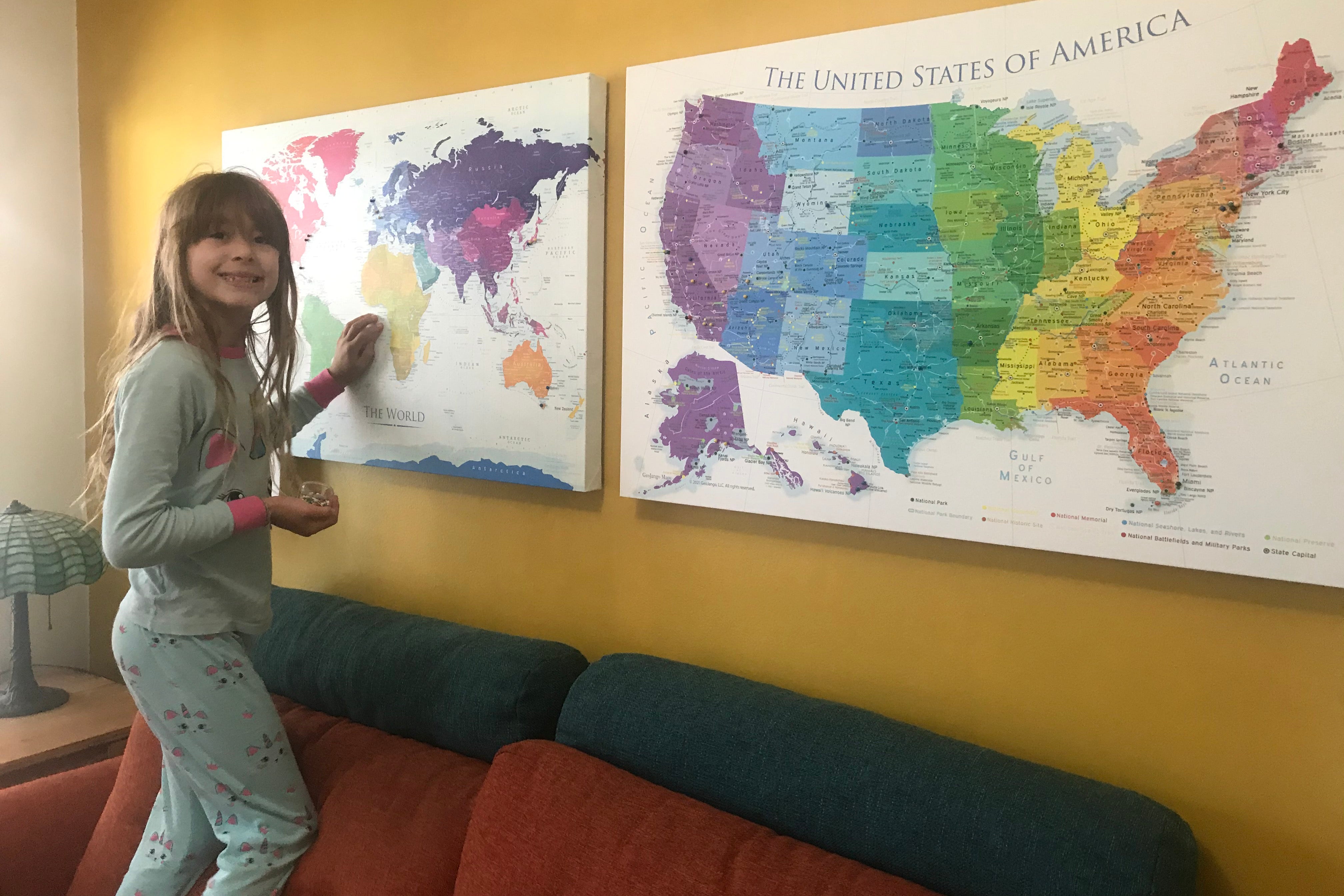
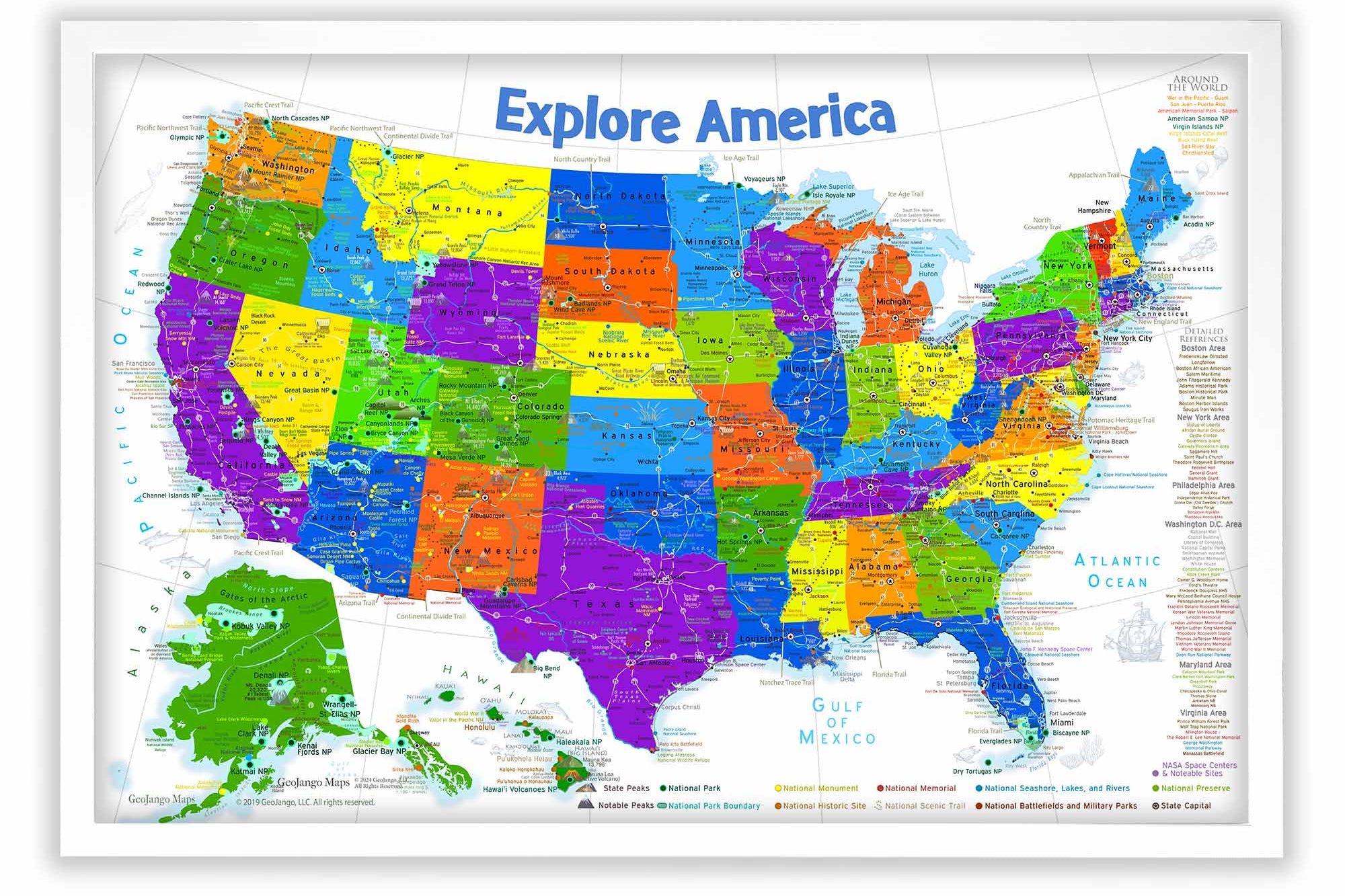
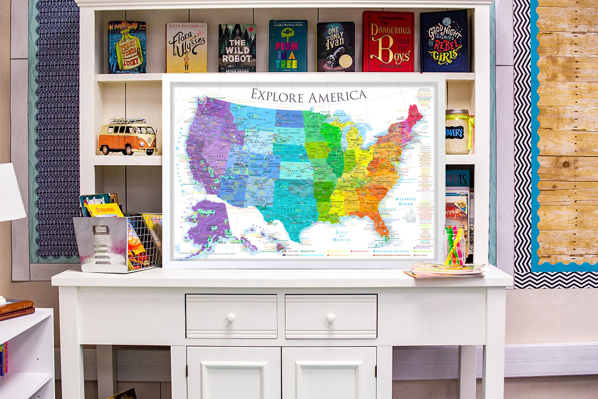
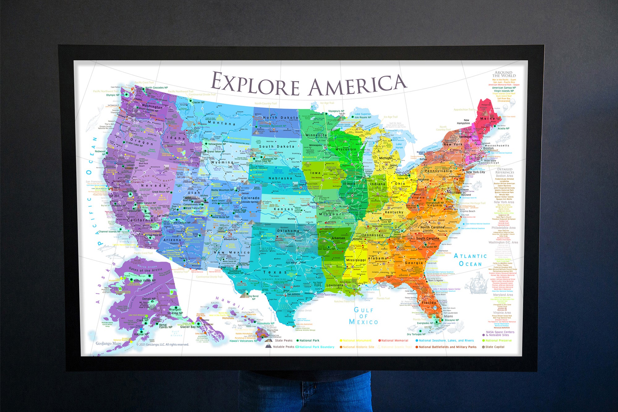
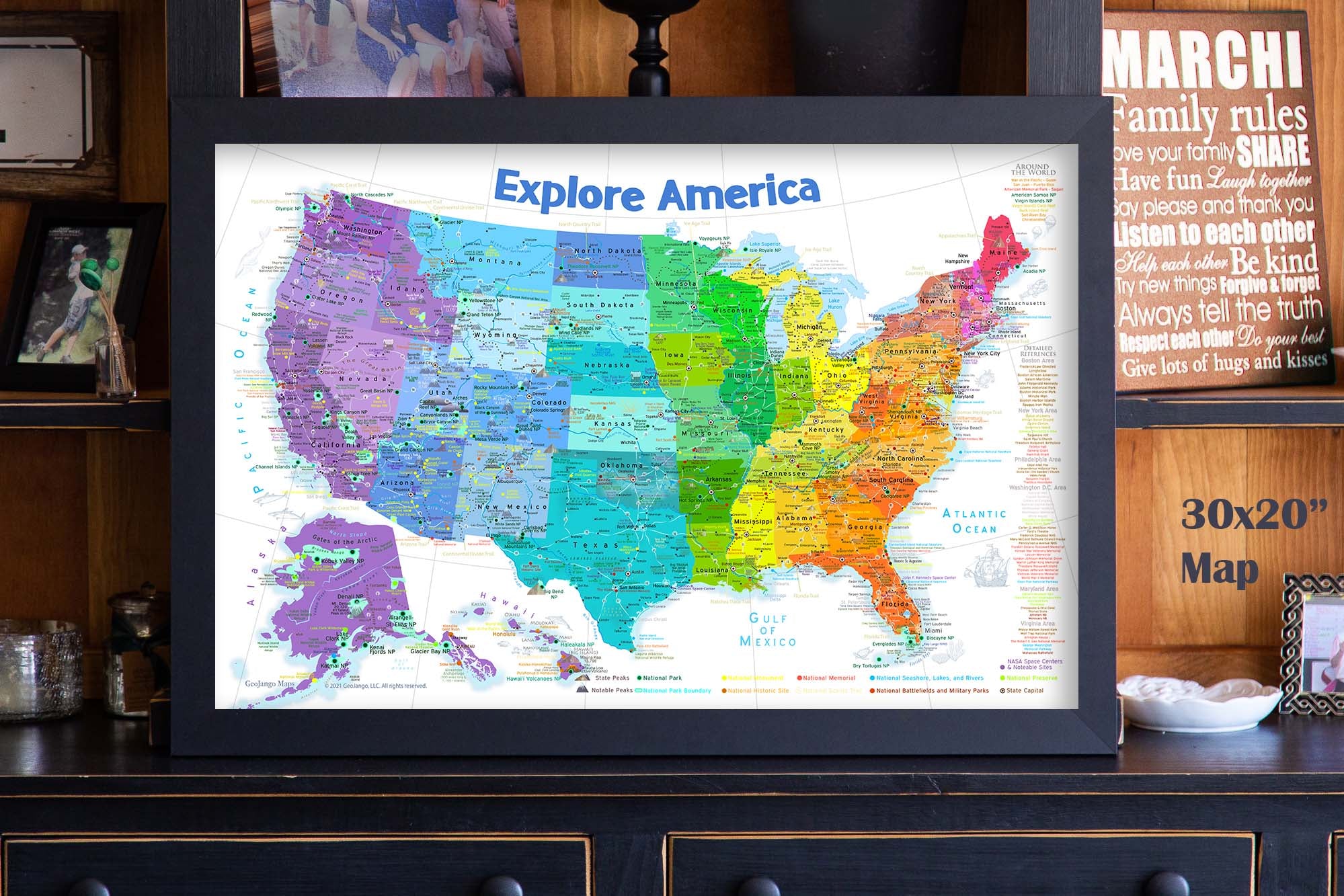
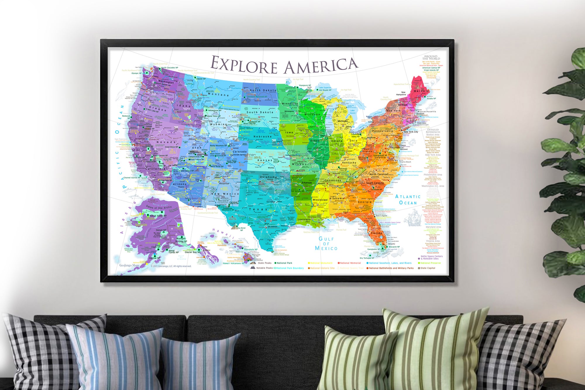
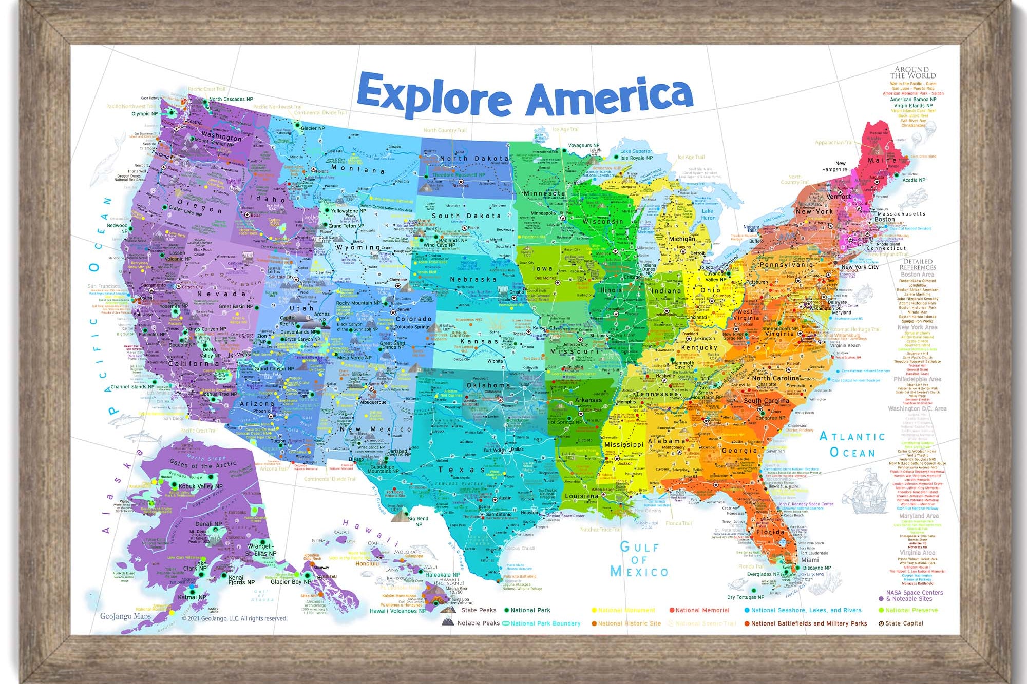
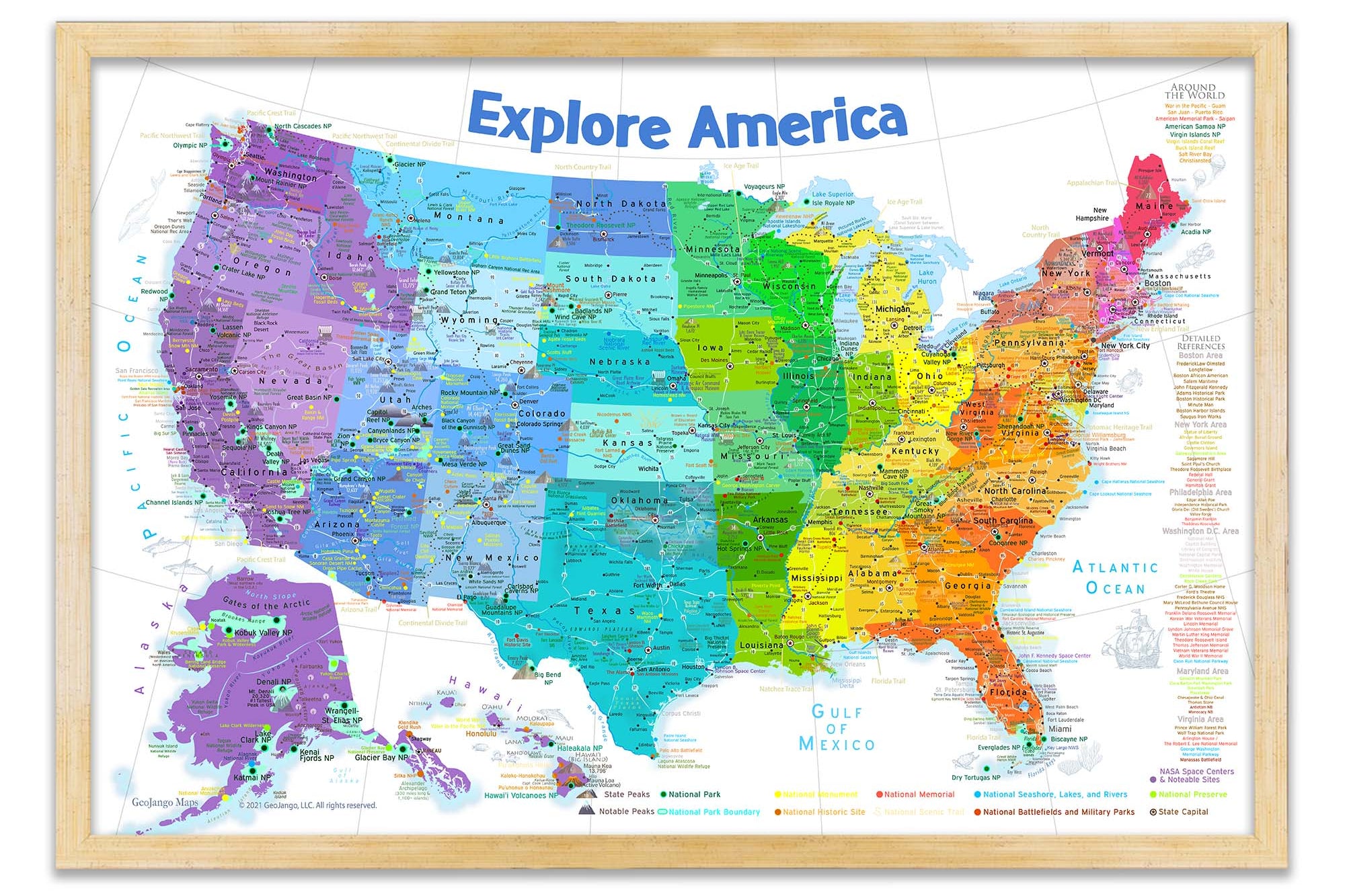
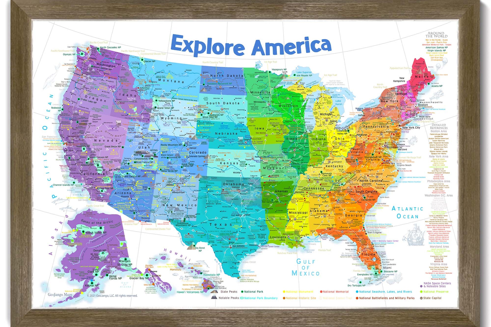
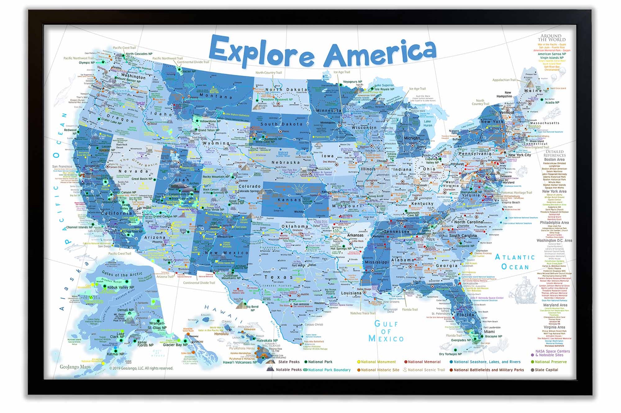
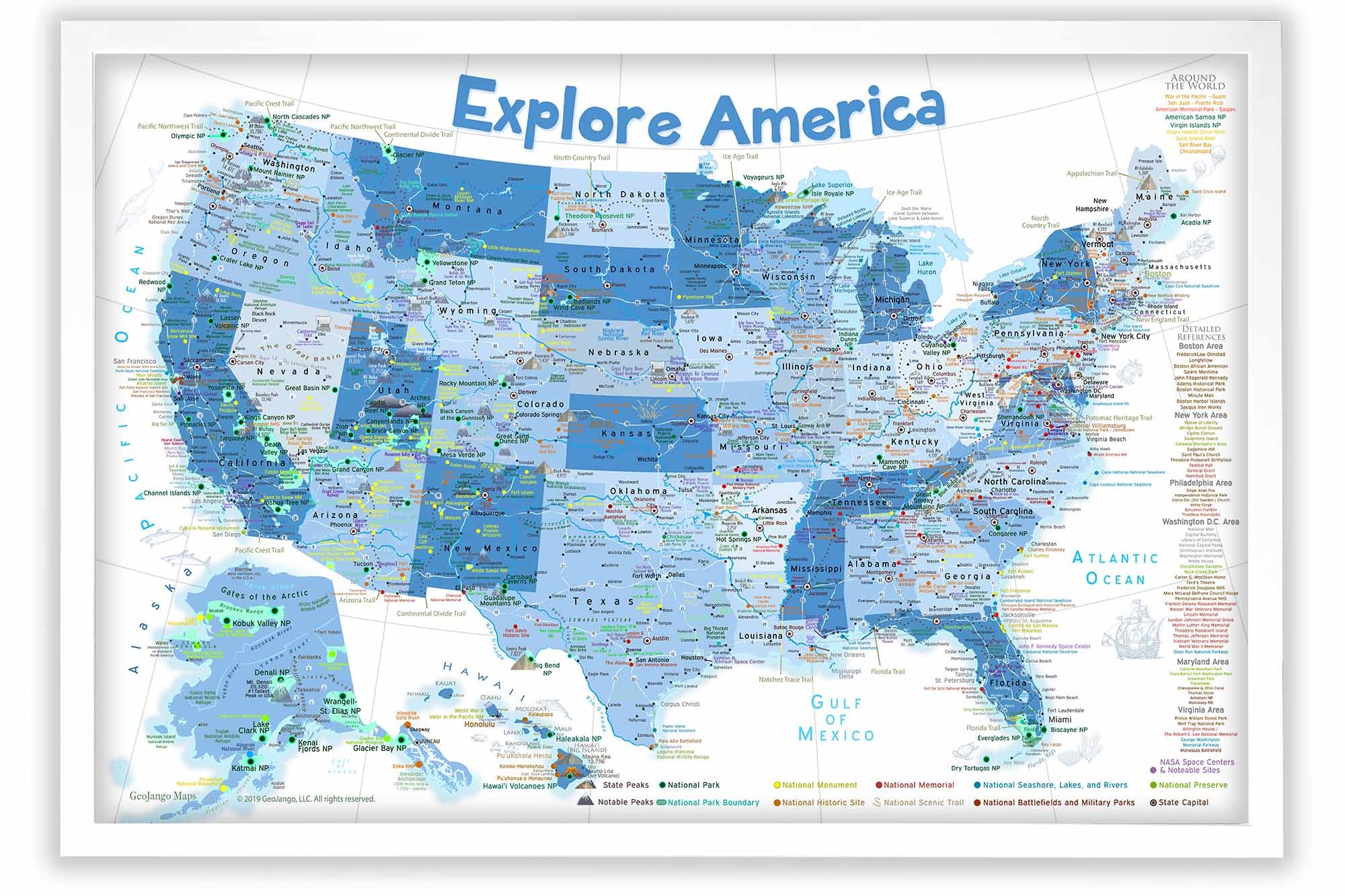
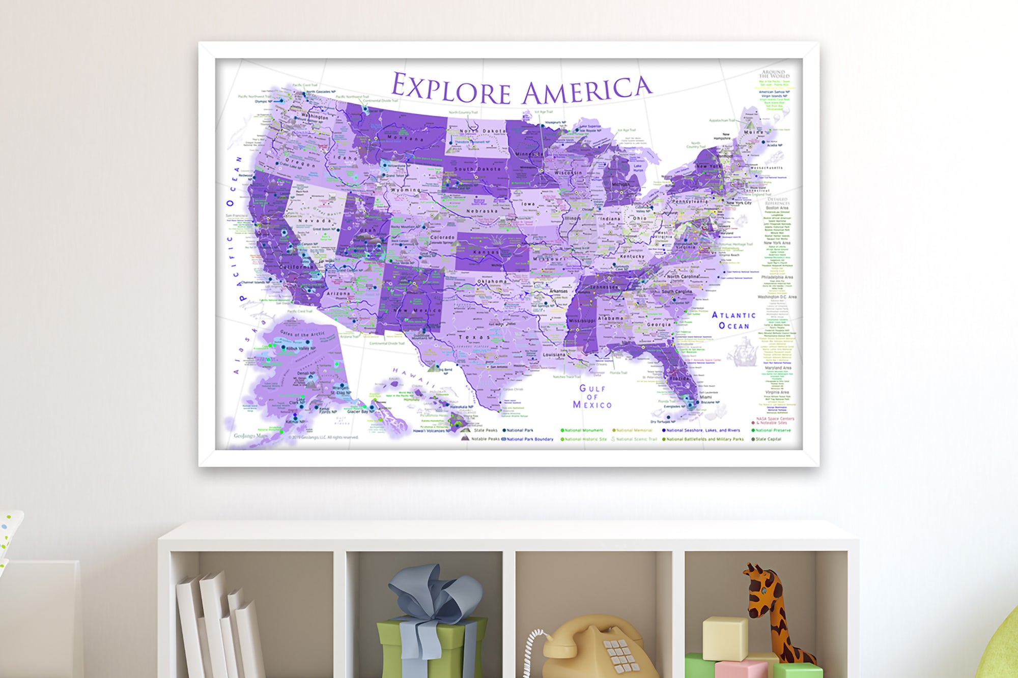
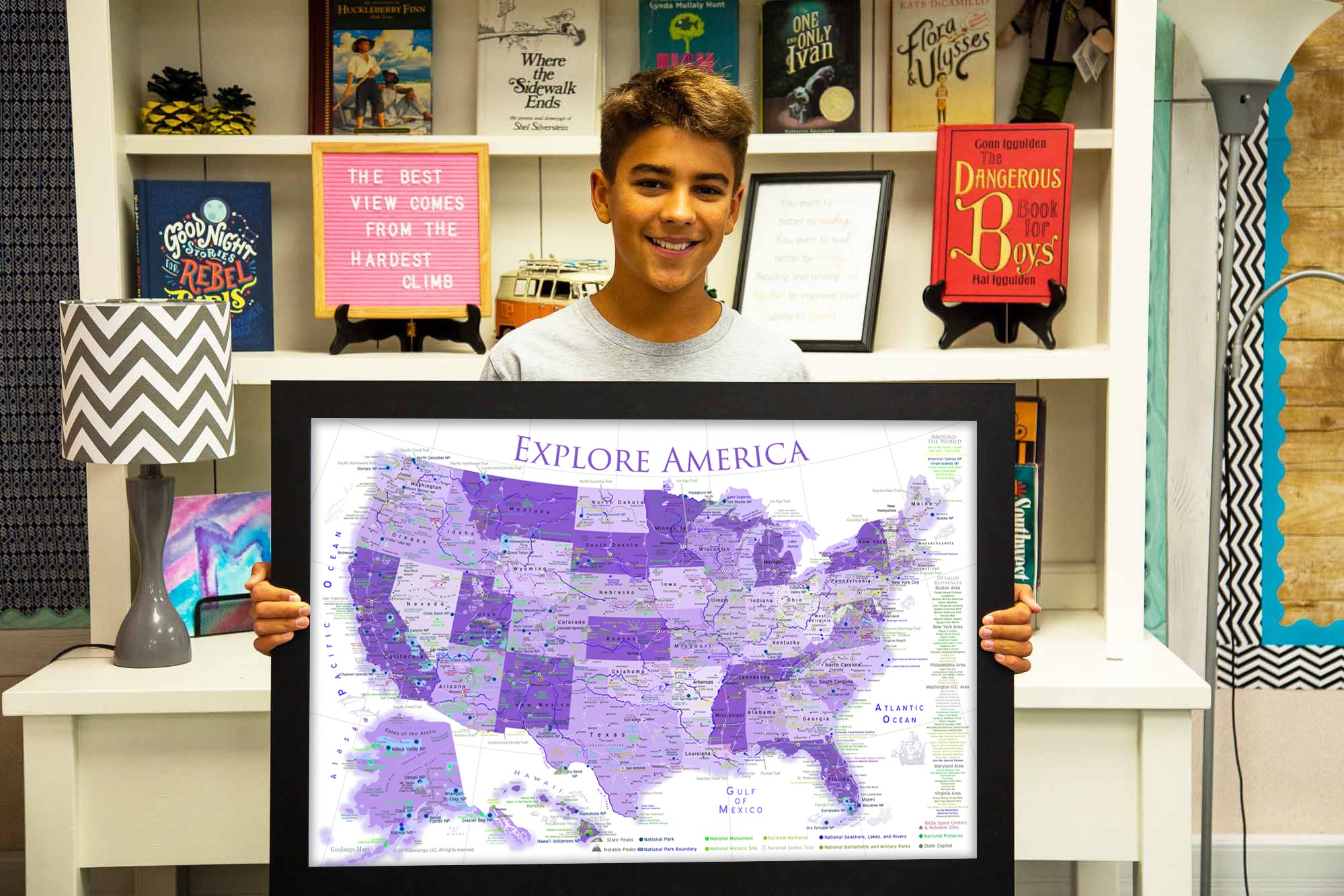
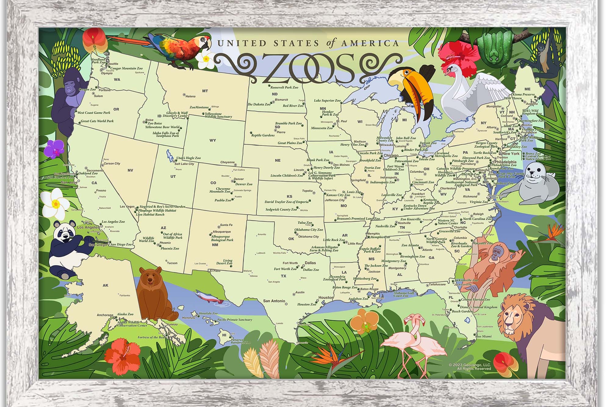
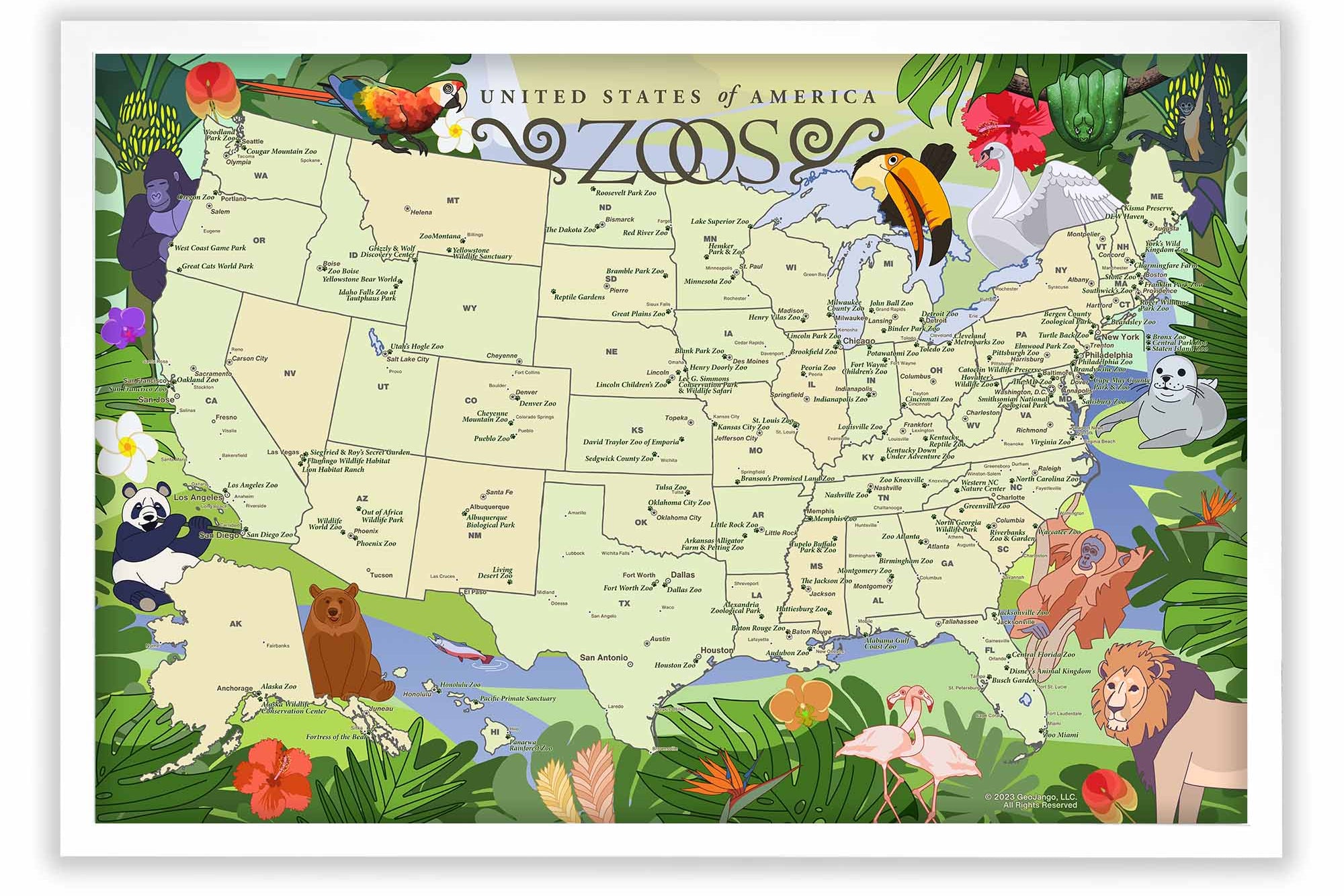
Our interactive maps and geography games made especially for kids are packed with fun activities! Kids will have fun exploring the world, USA, and countries around the world! These fun Kid's maps and games are the ideal for school material, Montessori educational games, homeschooling, and family fun! The educational maps and games teach children about geography and the wonders of our world.

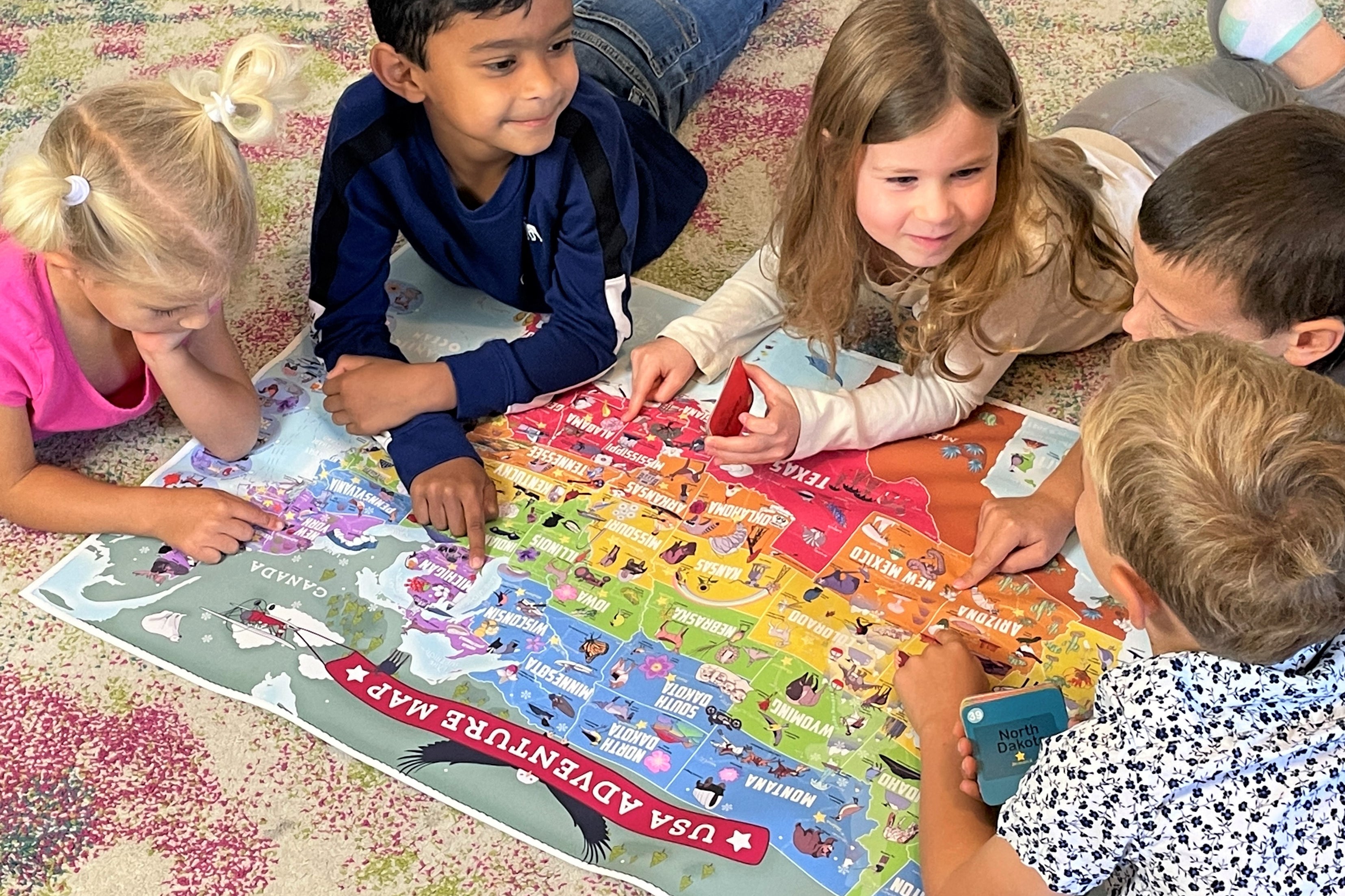
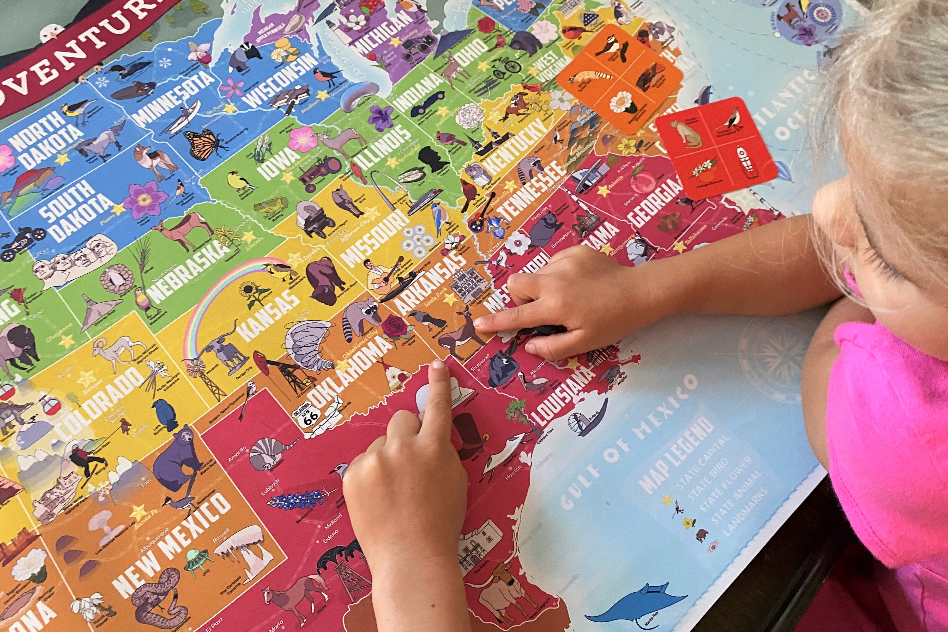
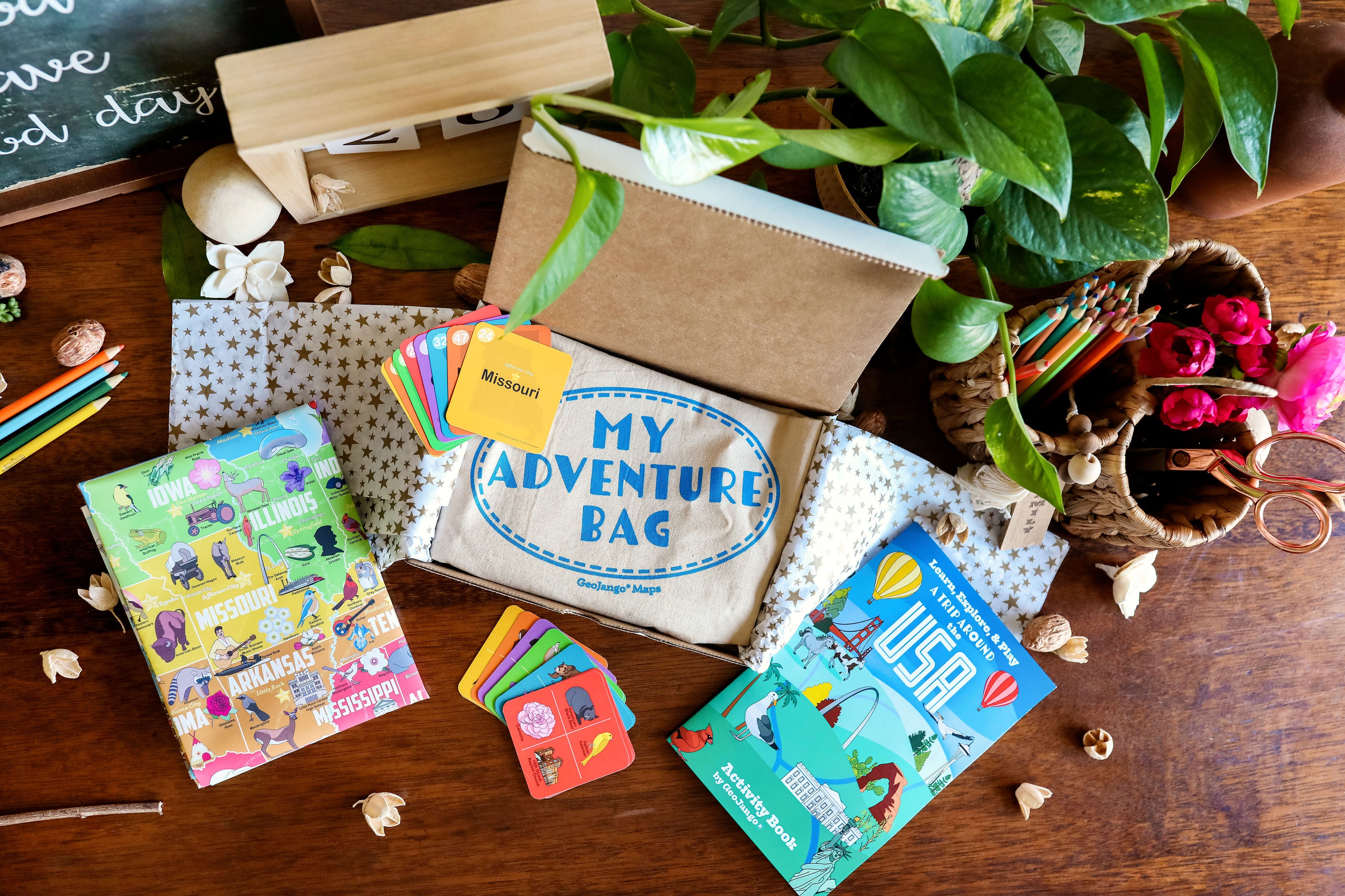
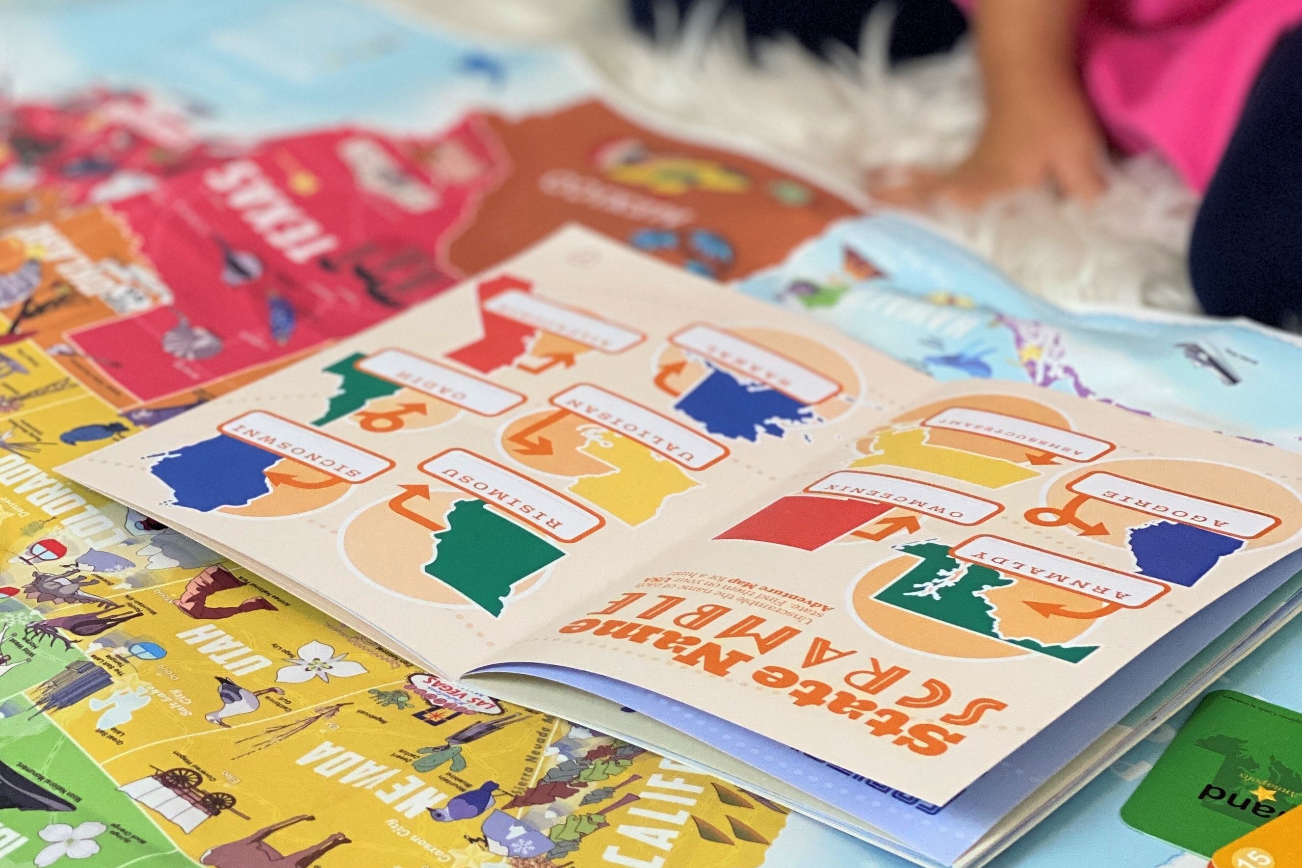
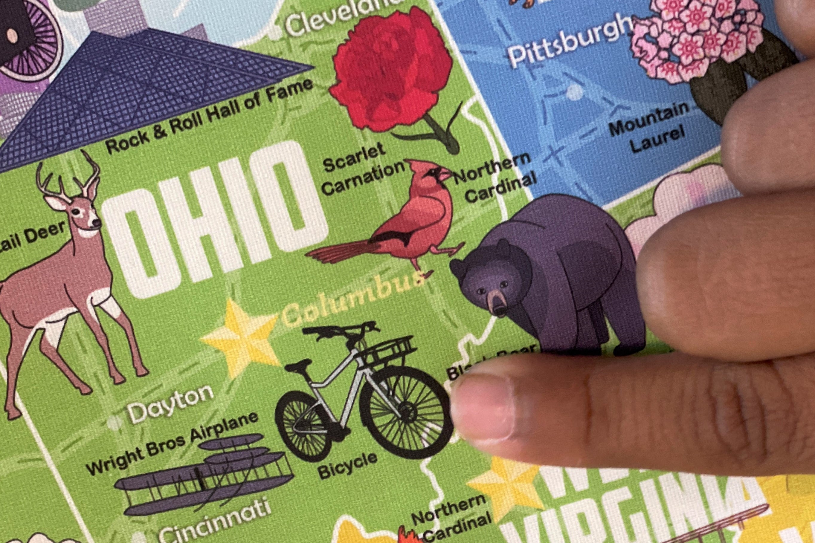
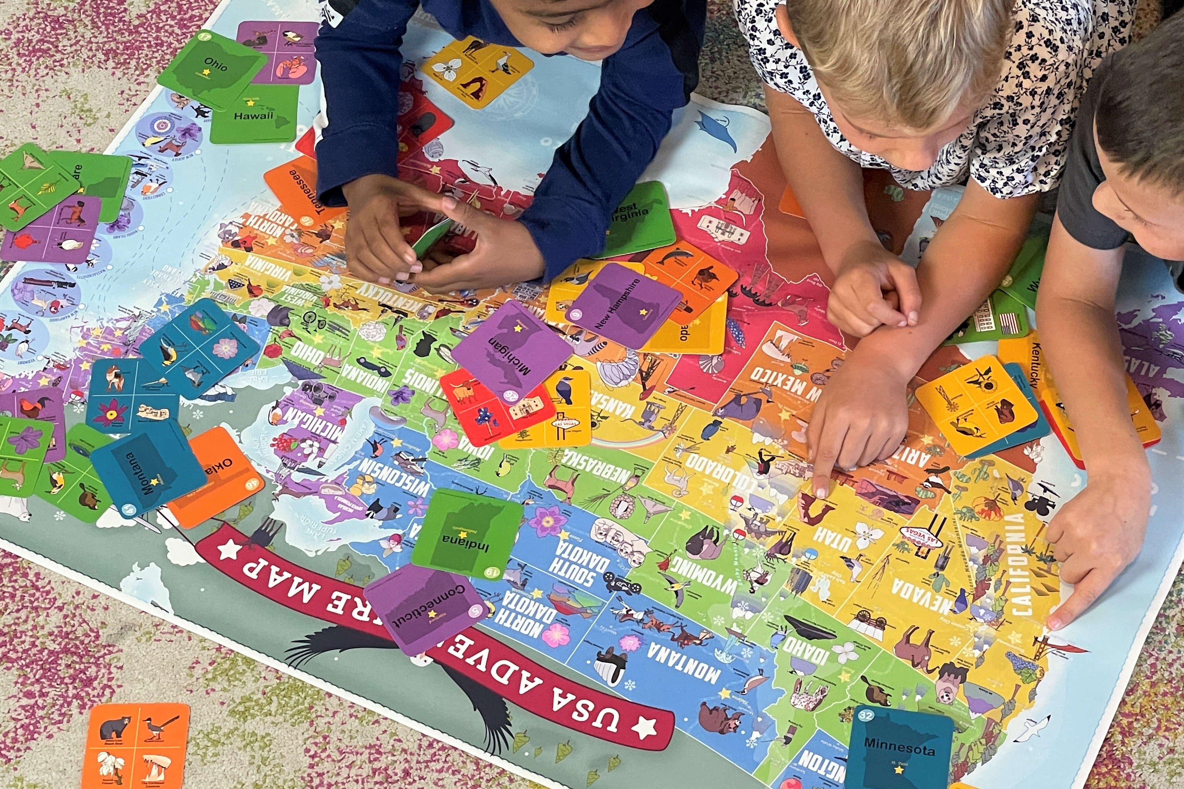
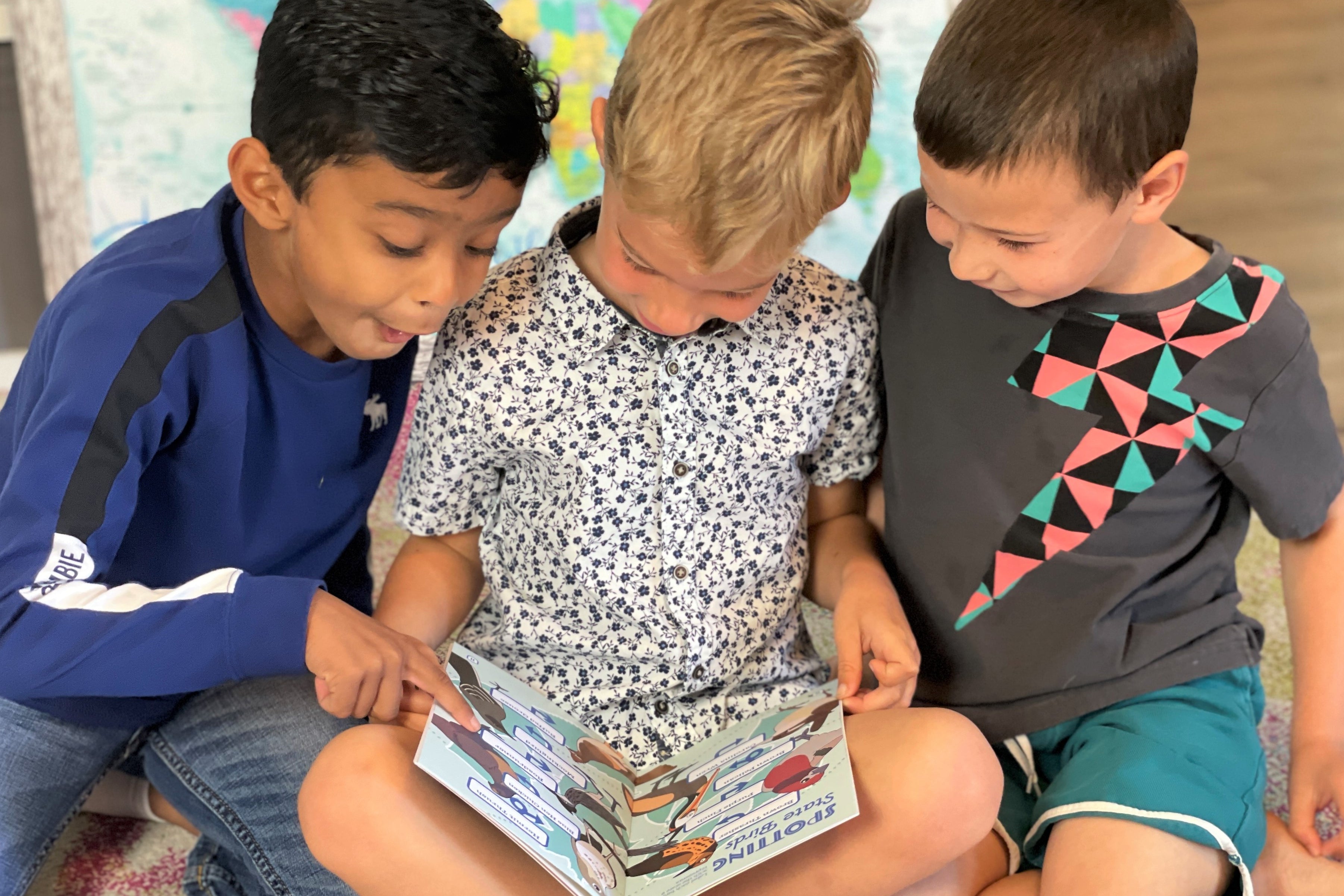
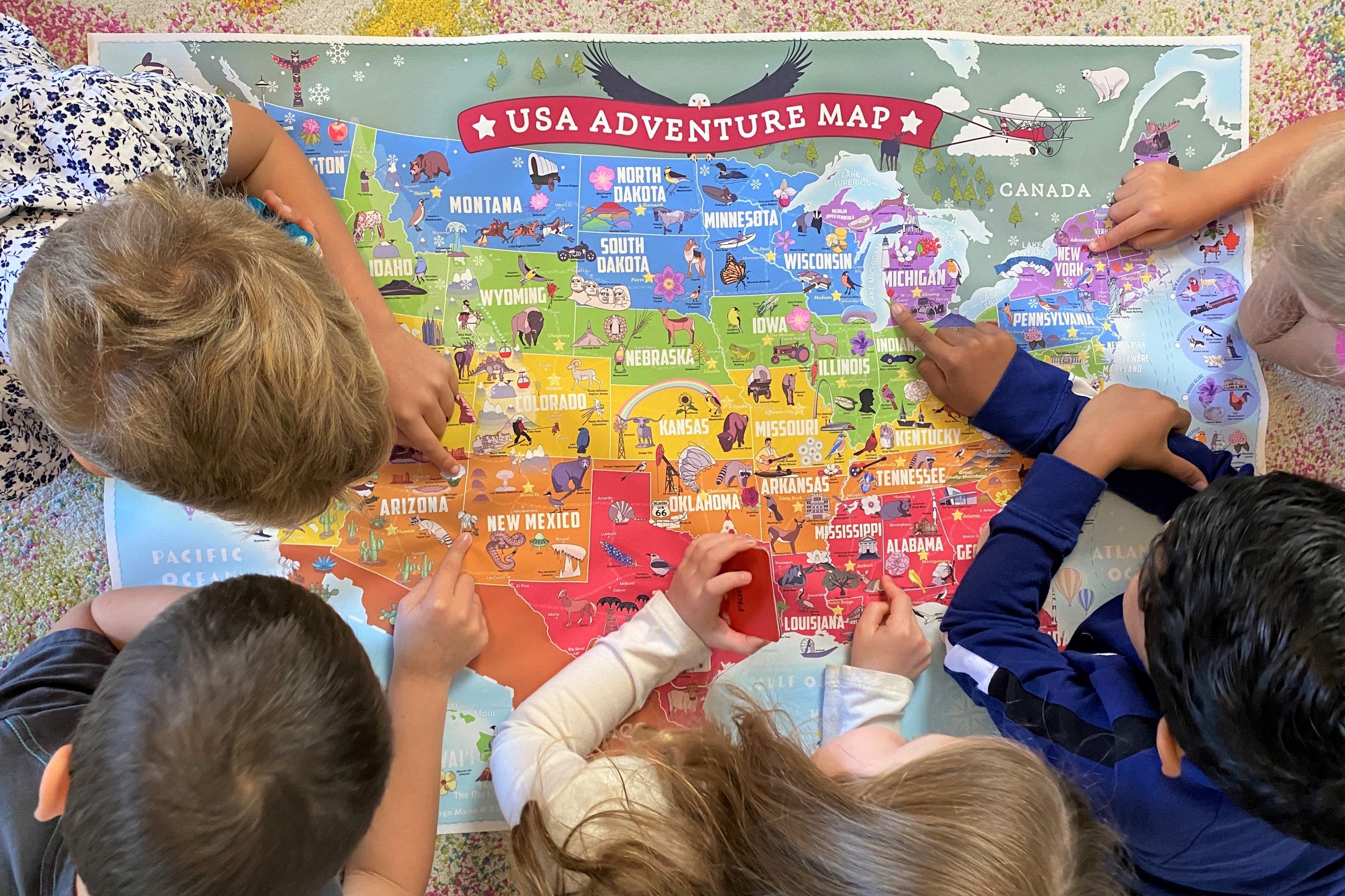
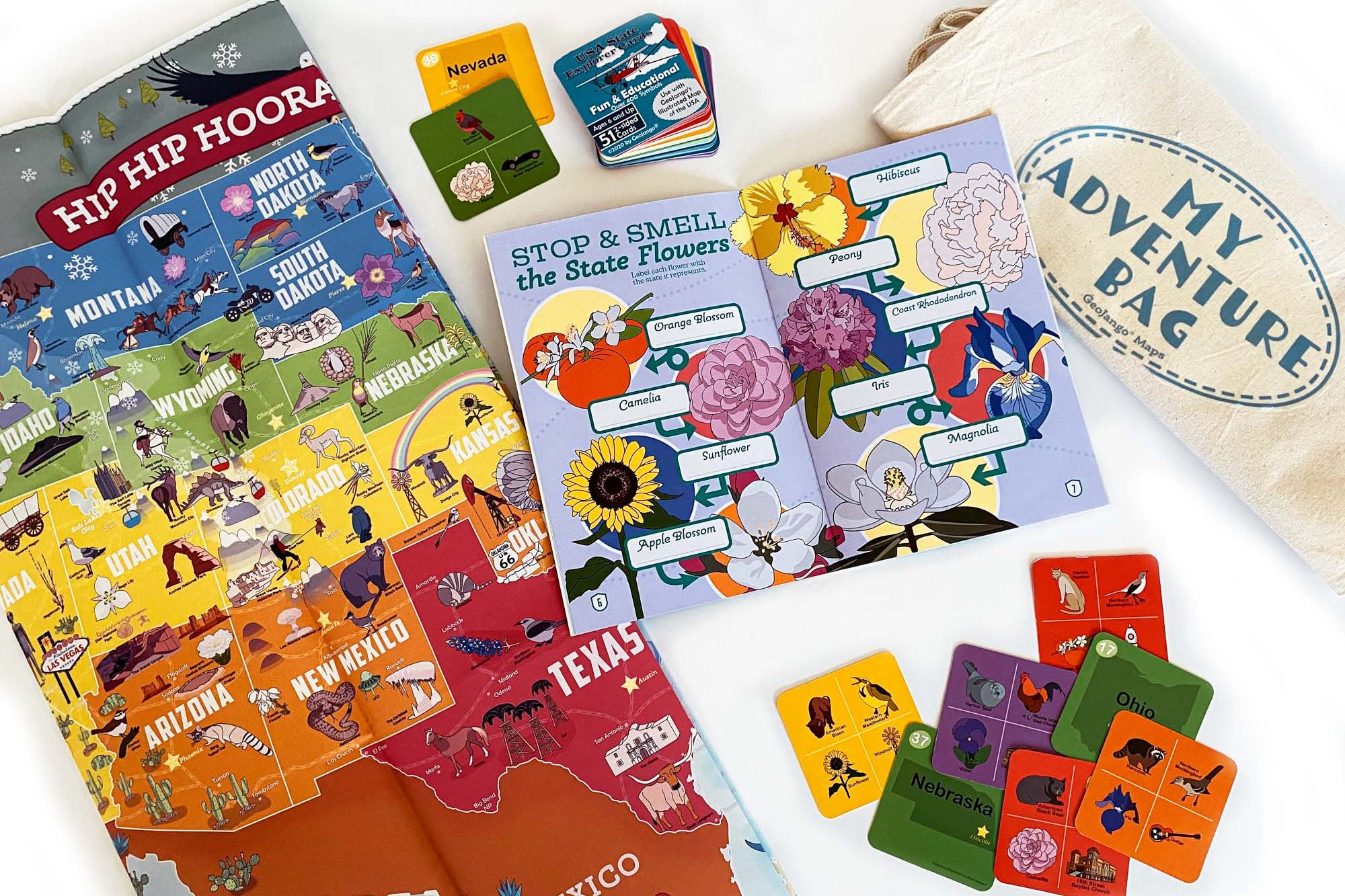
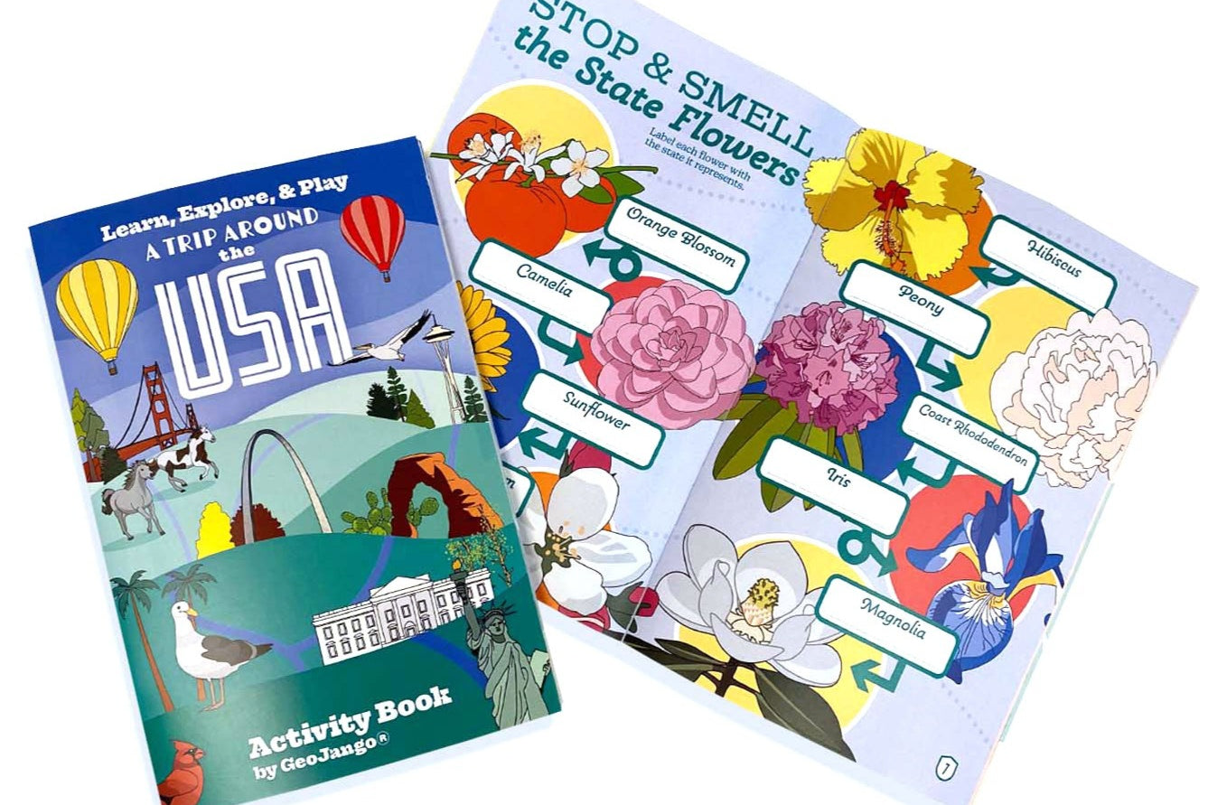
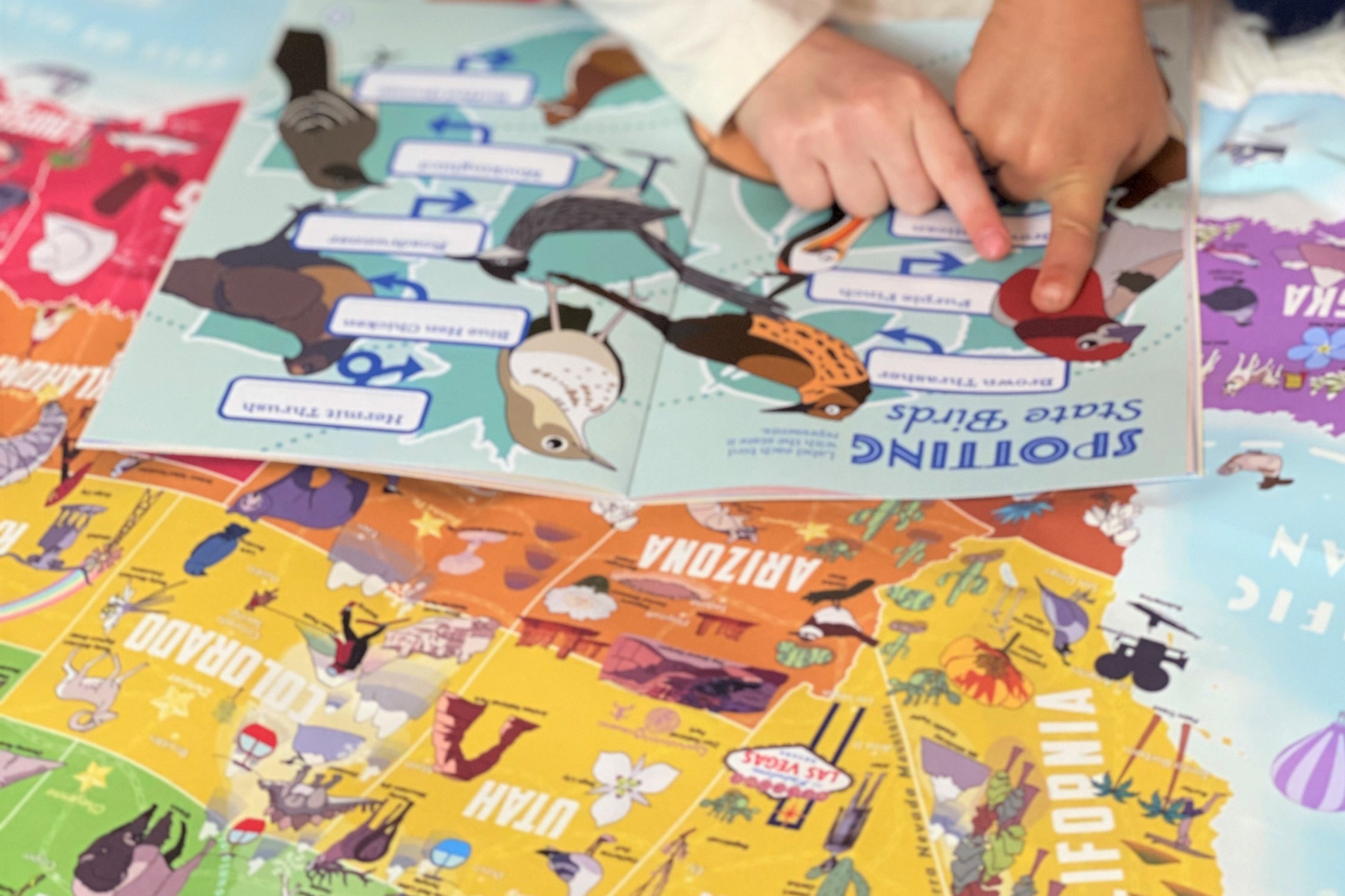
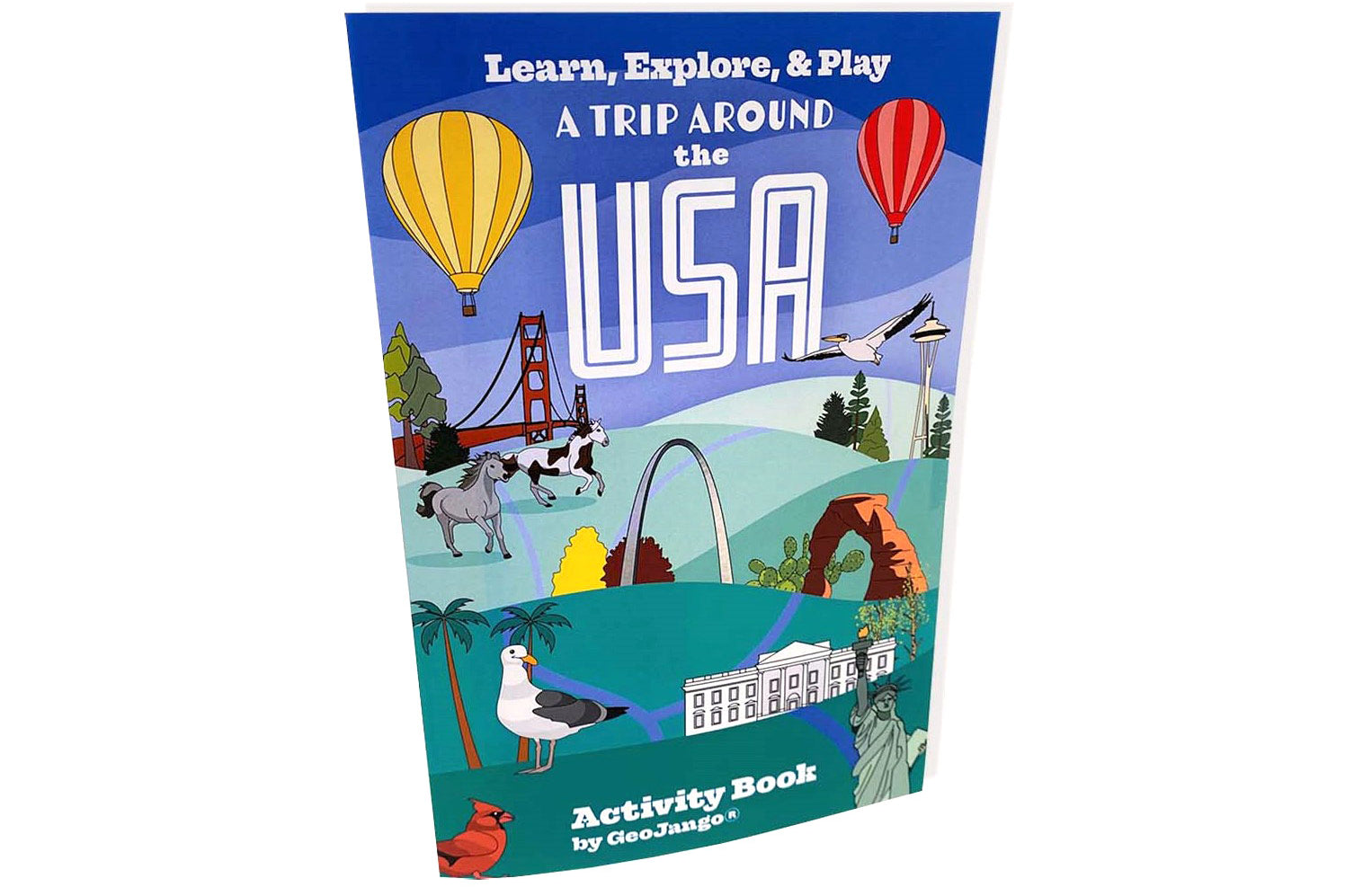
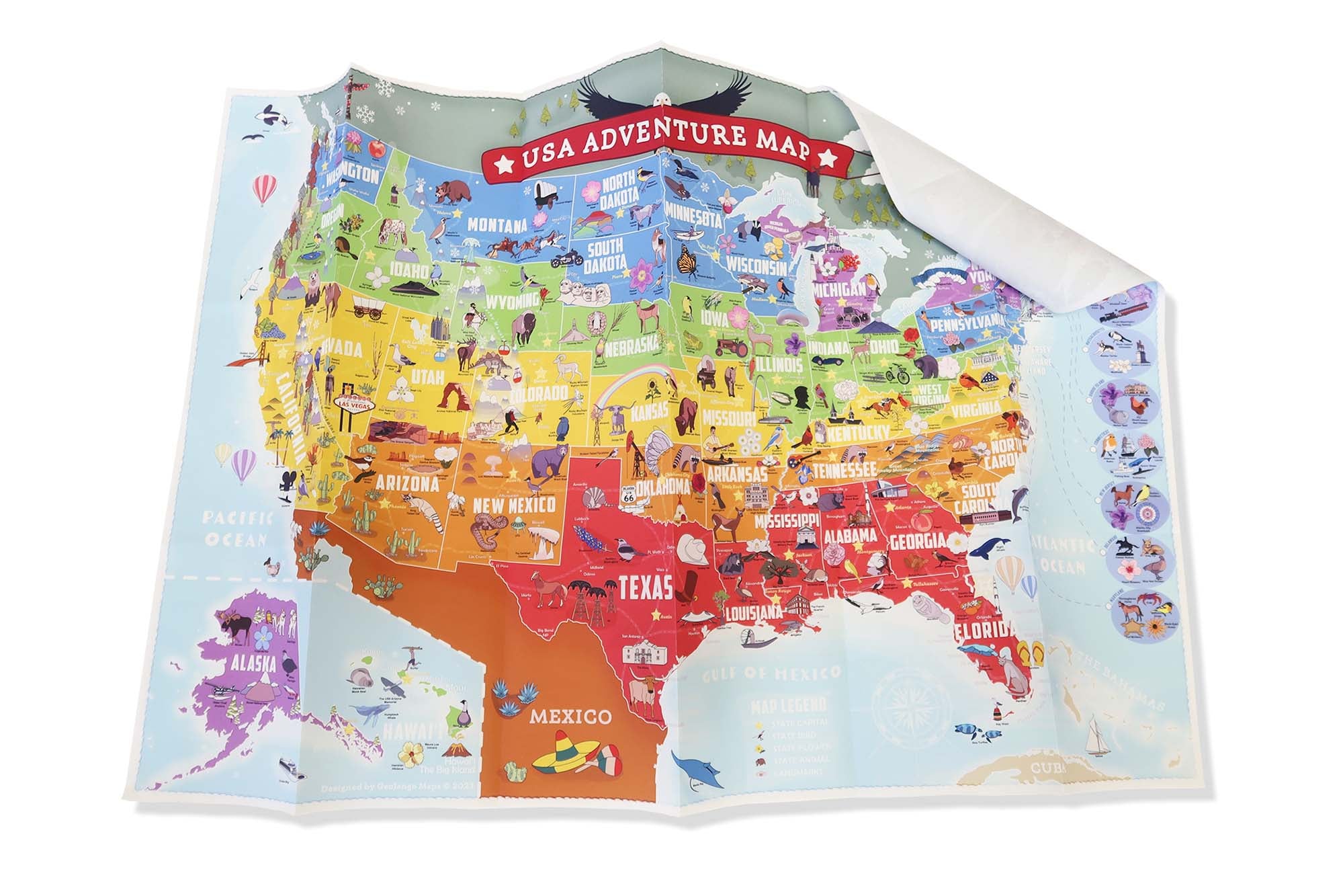
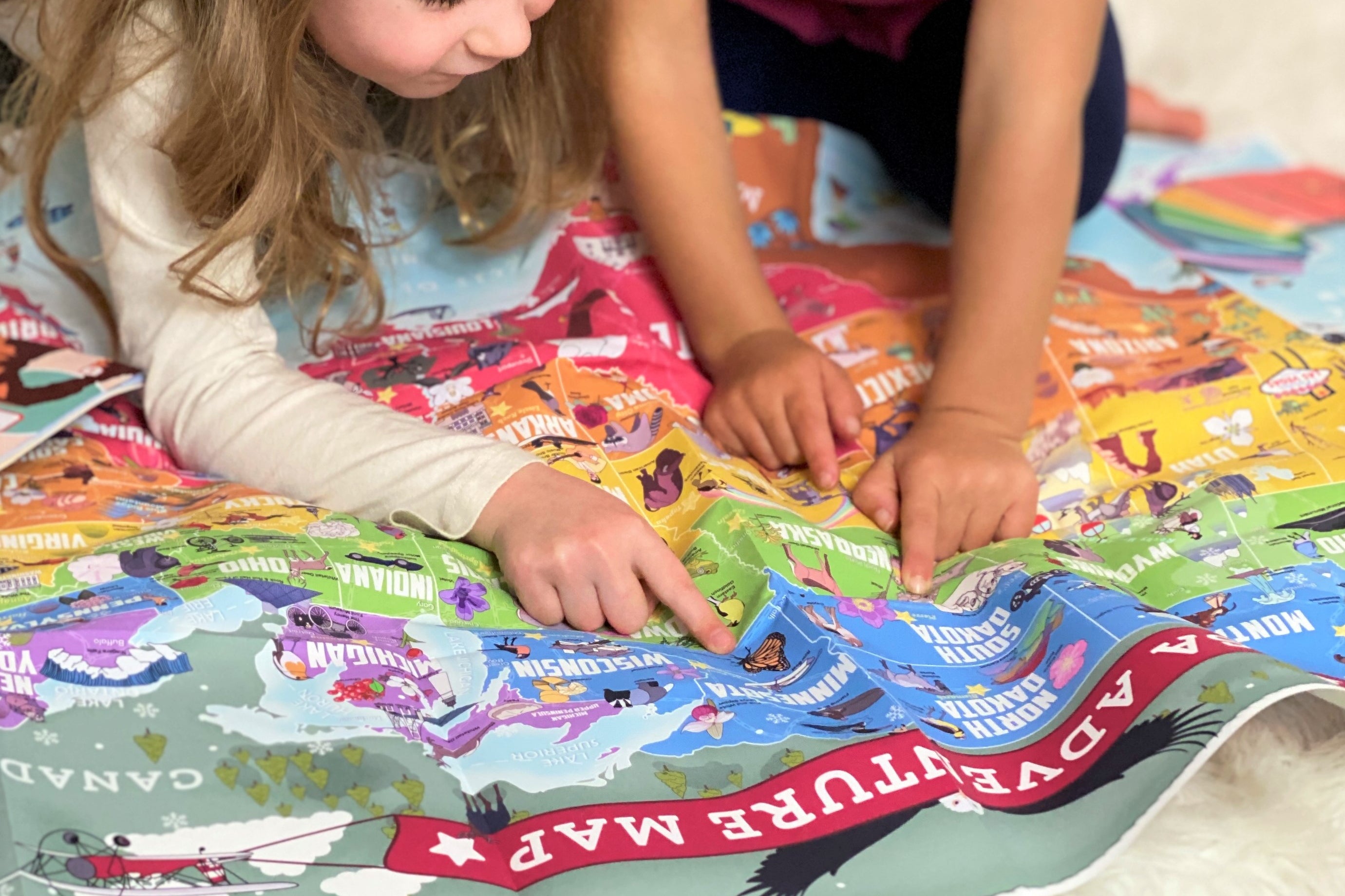
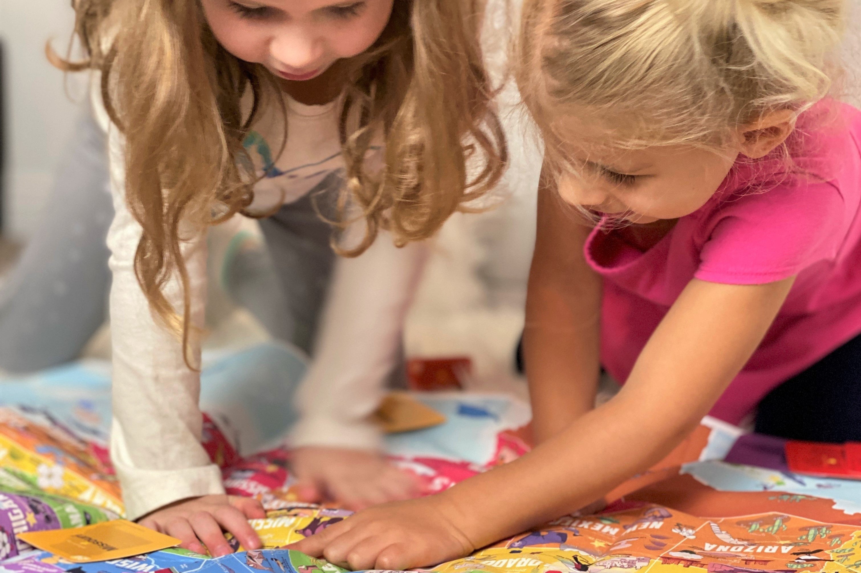
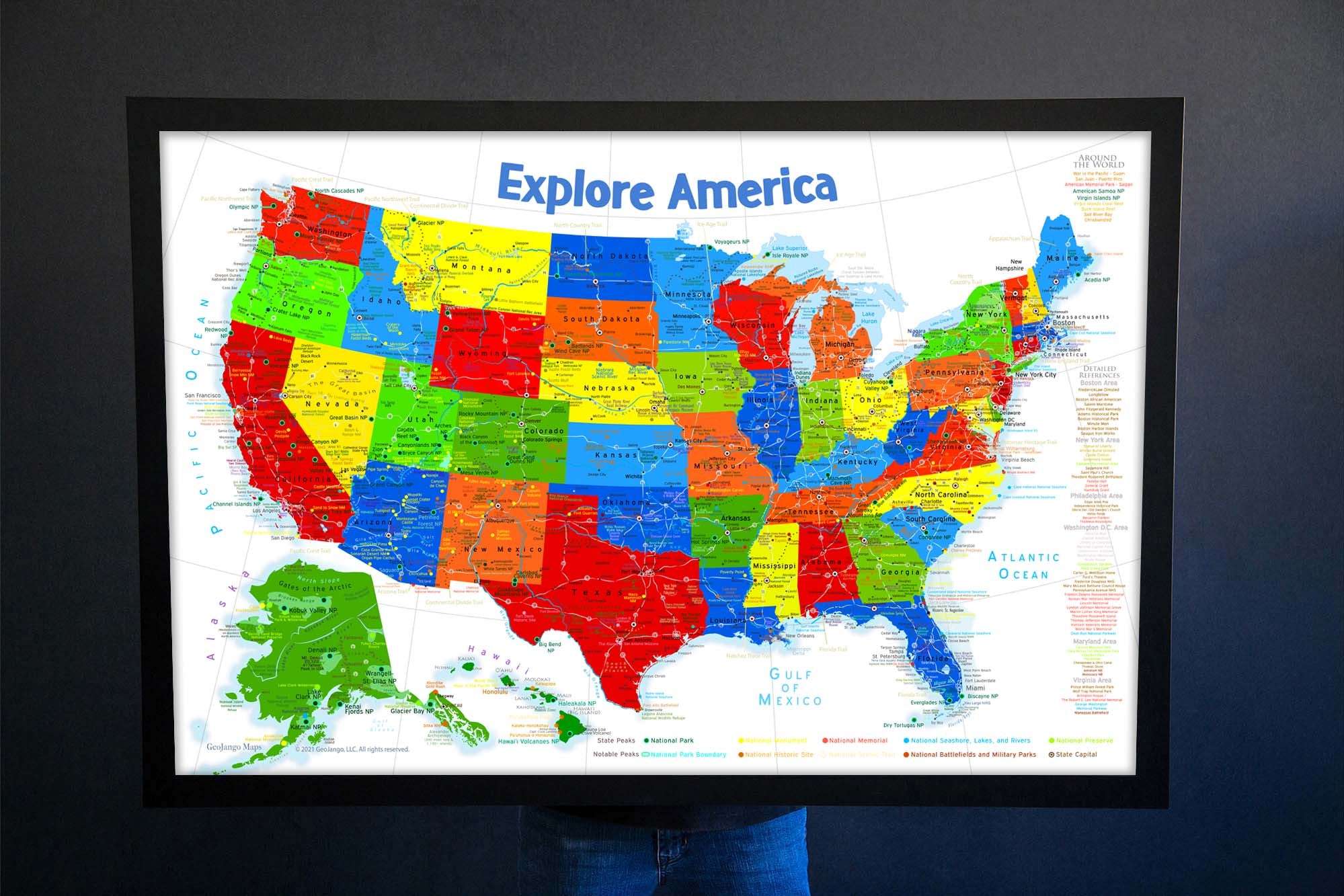
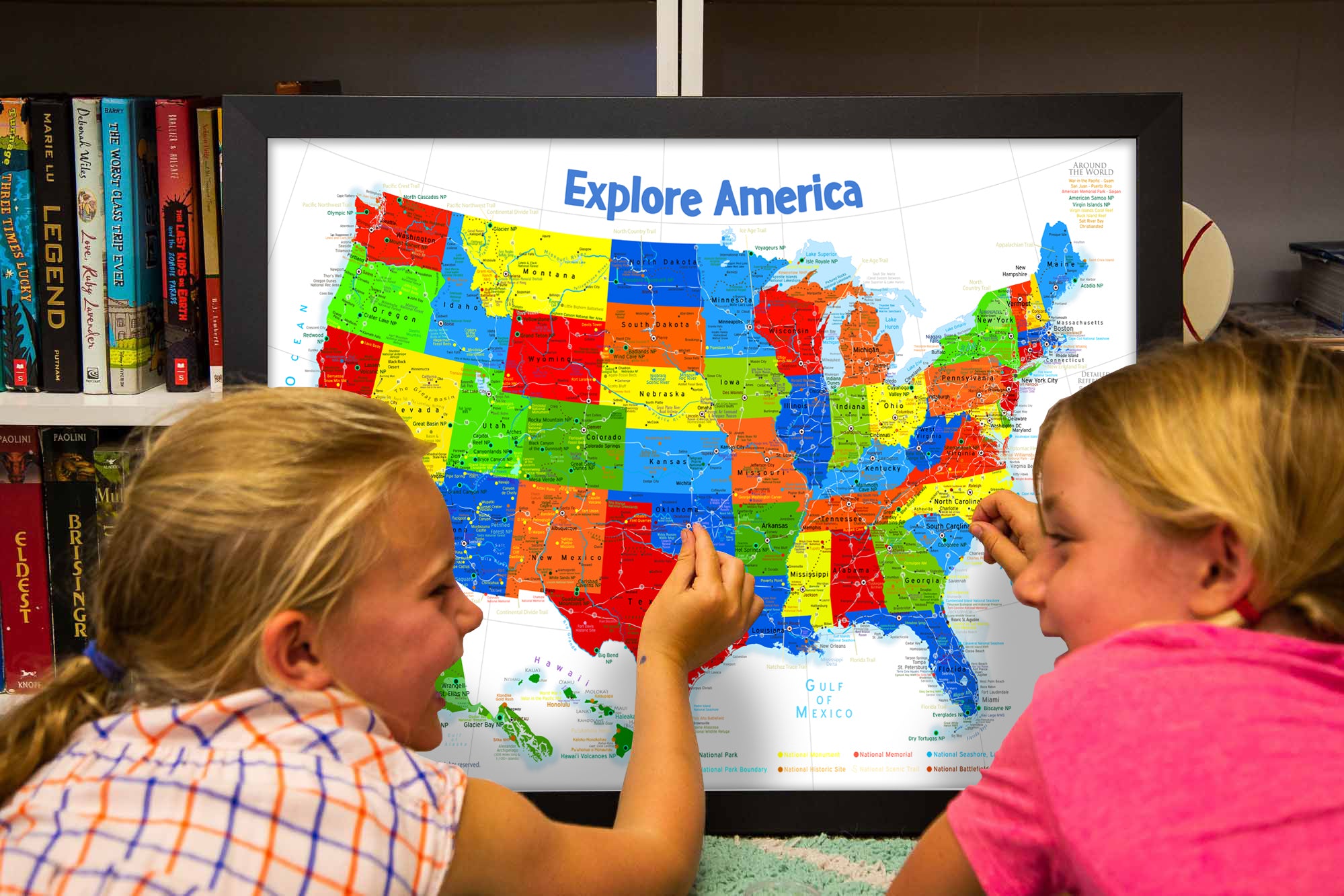
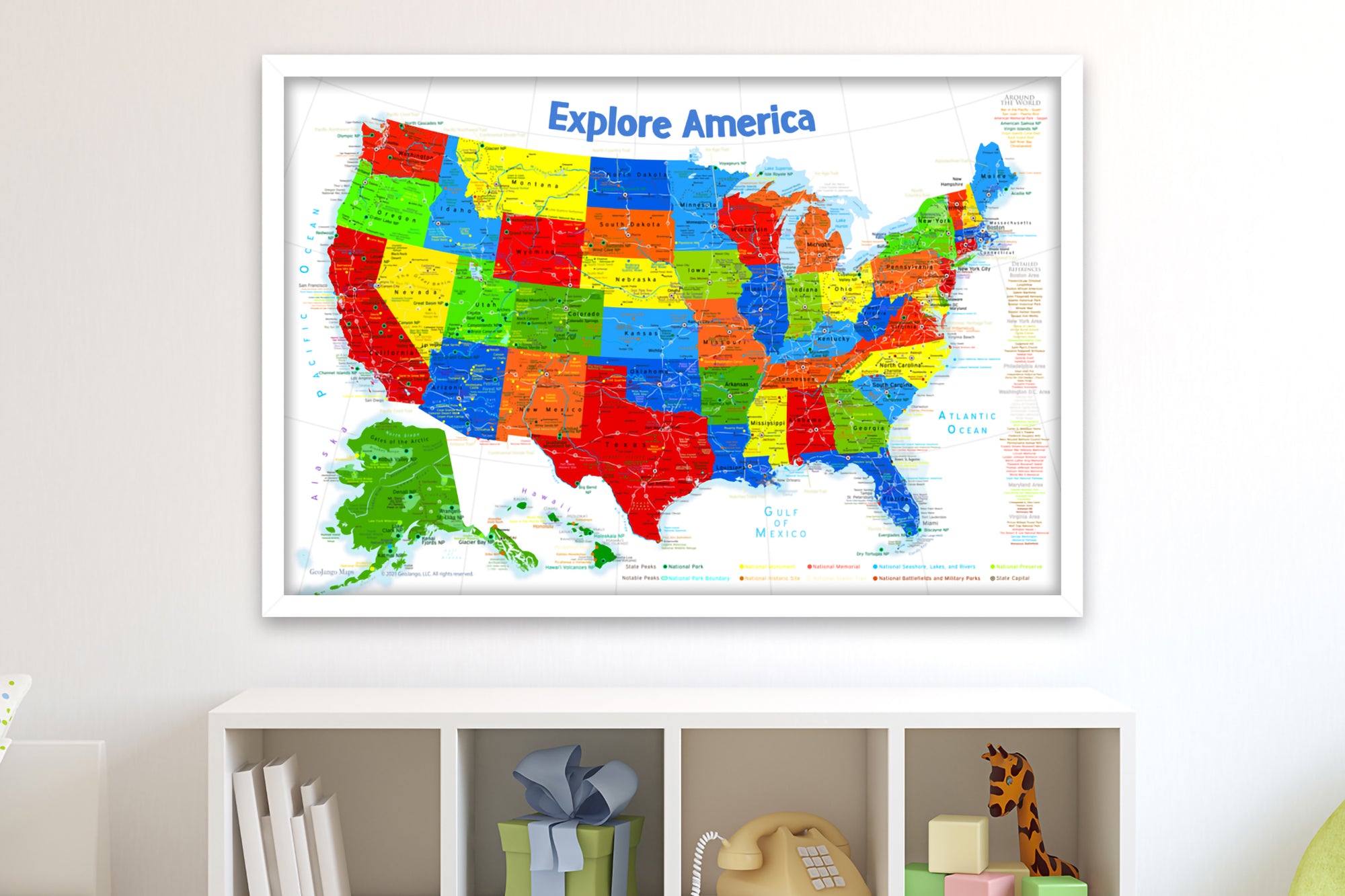
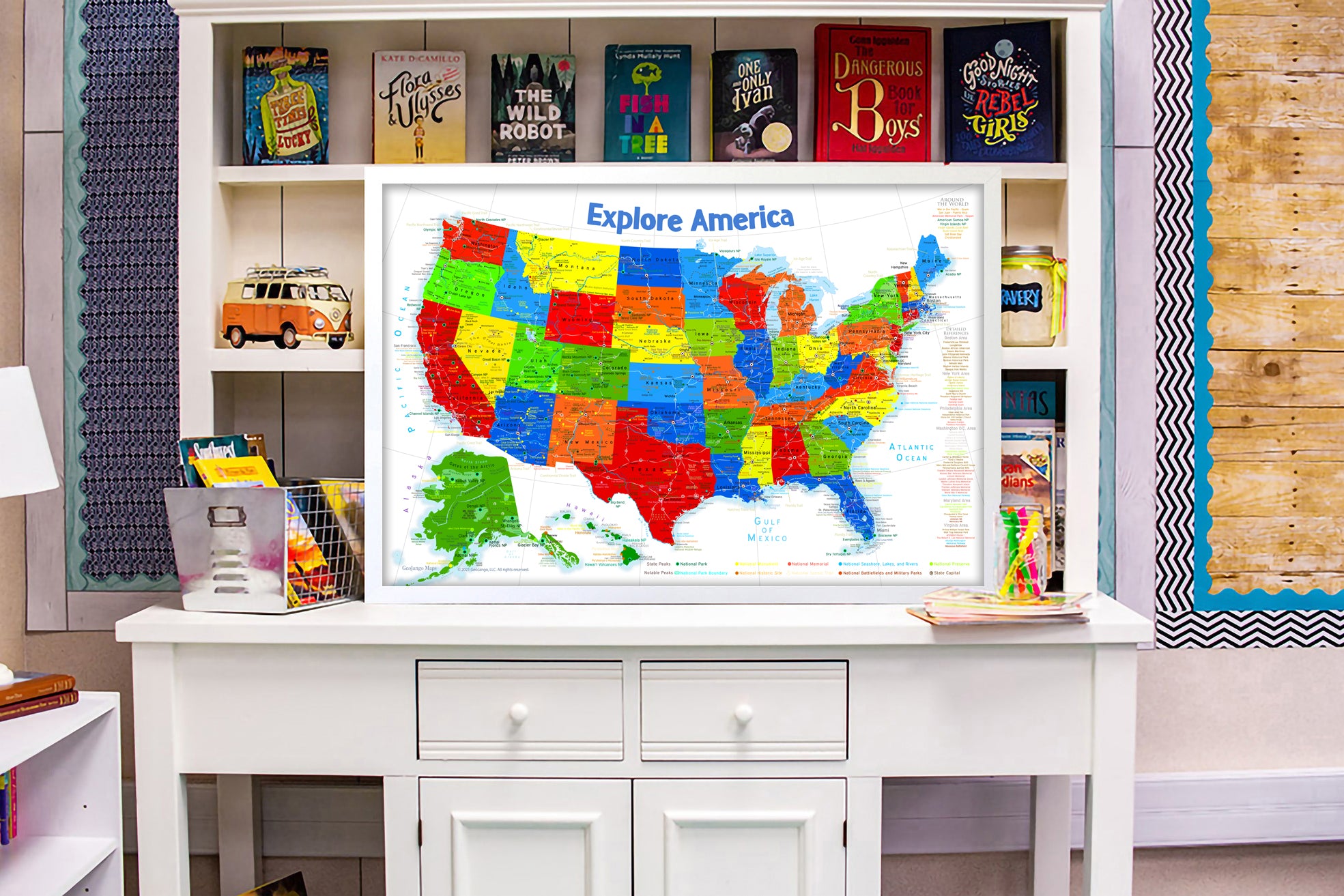
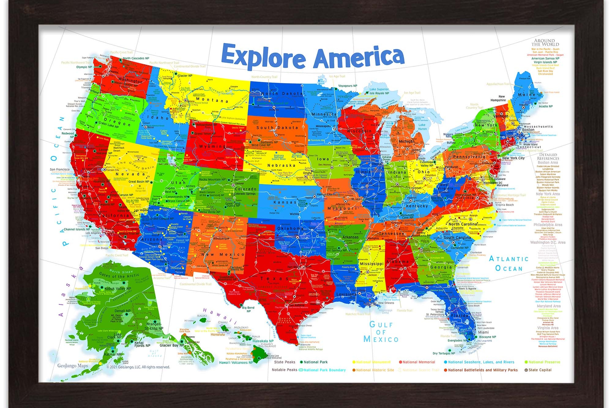
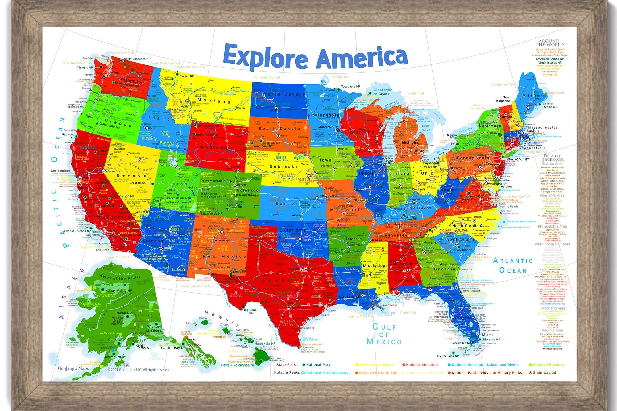
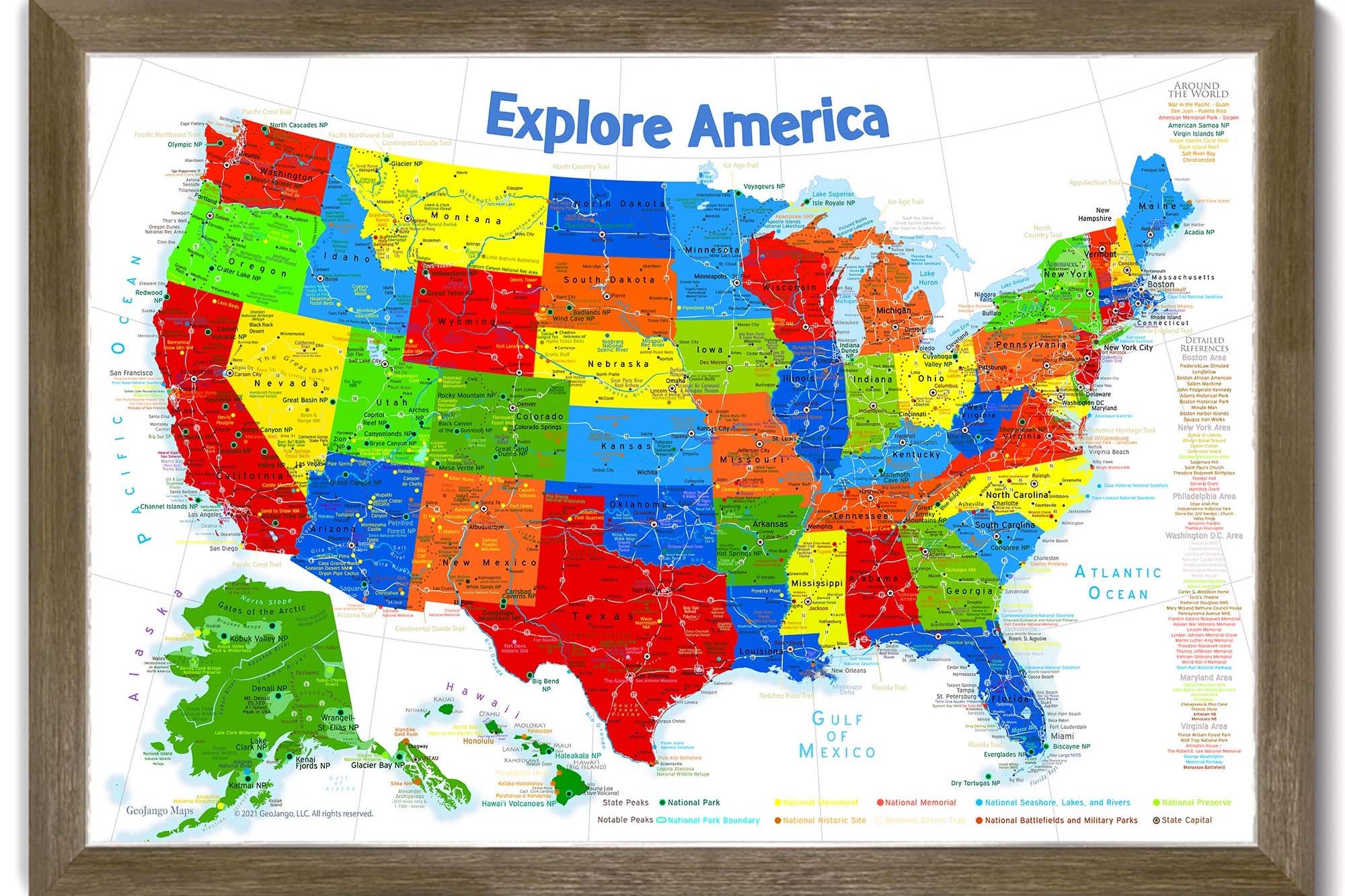
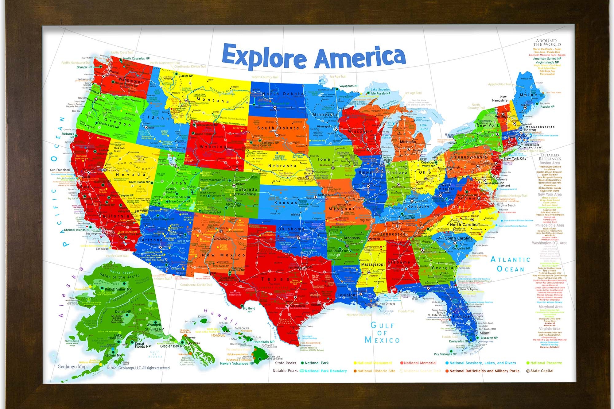
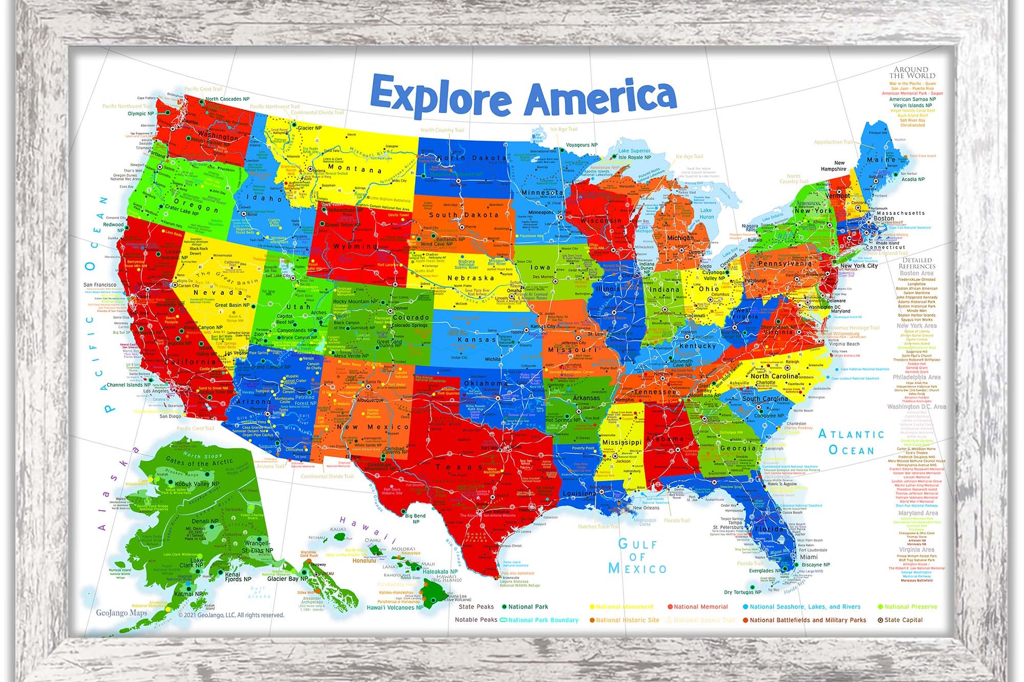
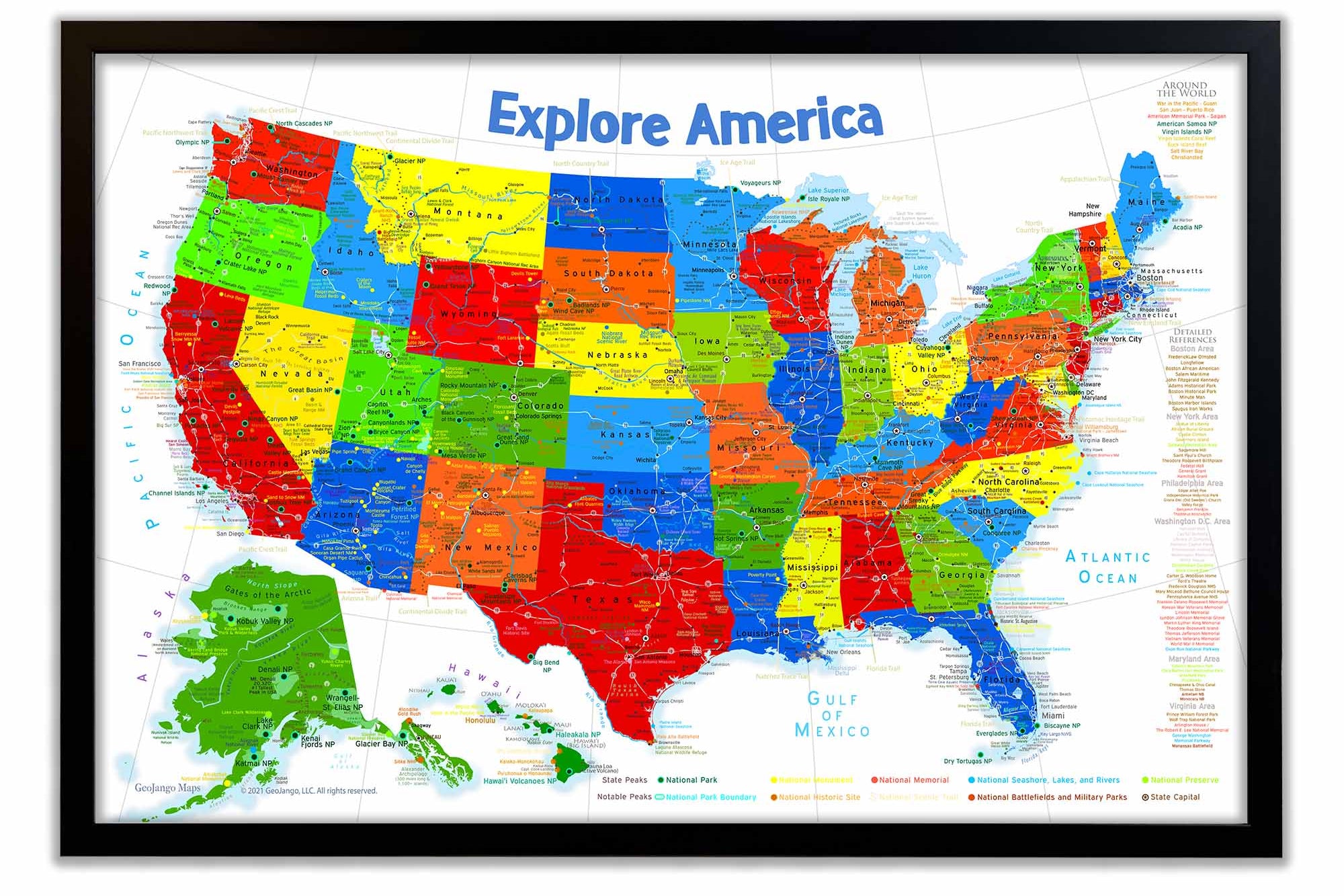
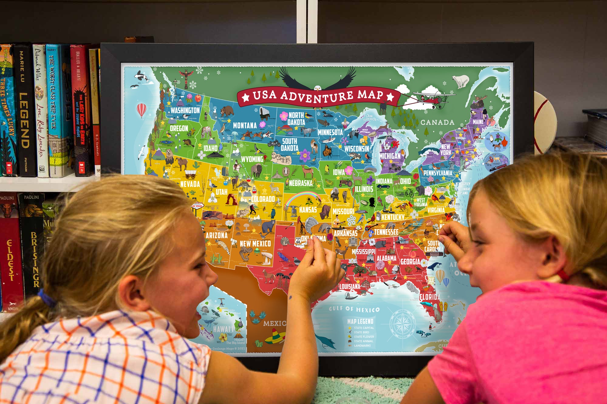
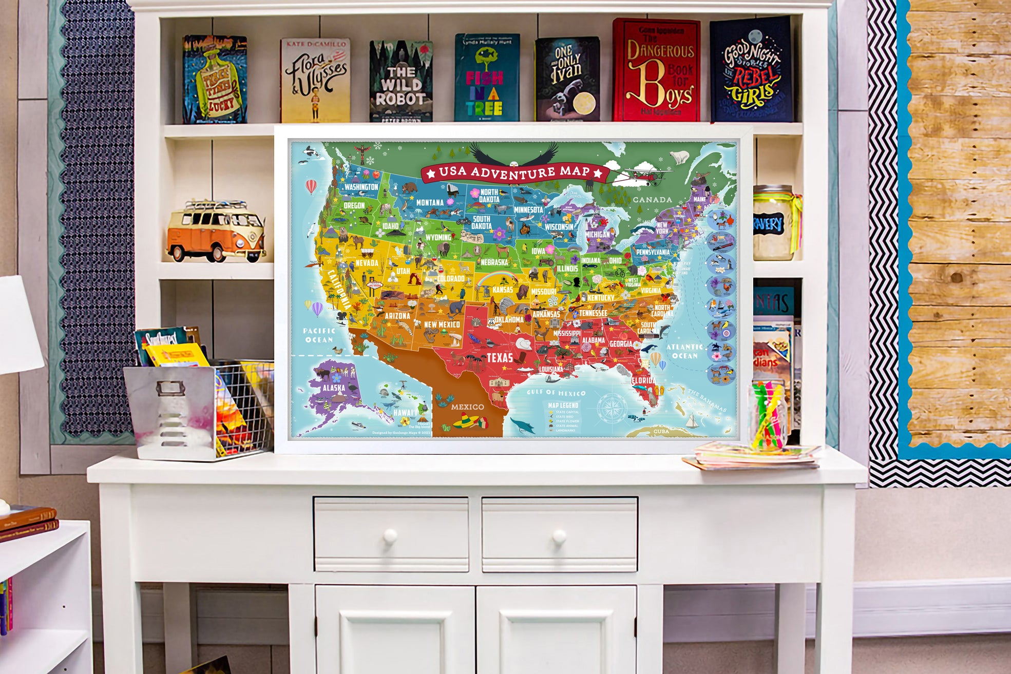
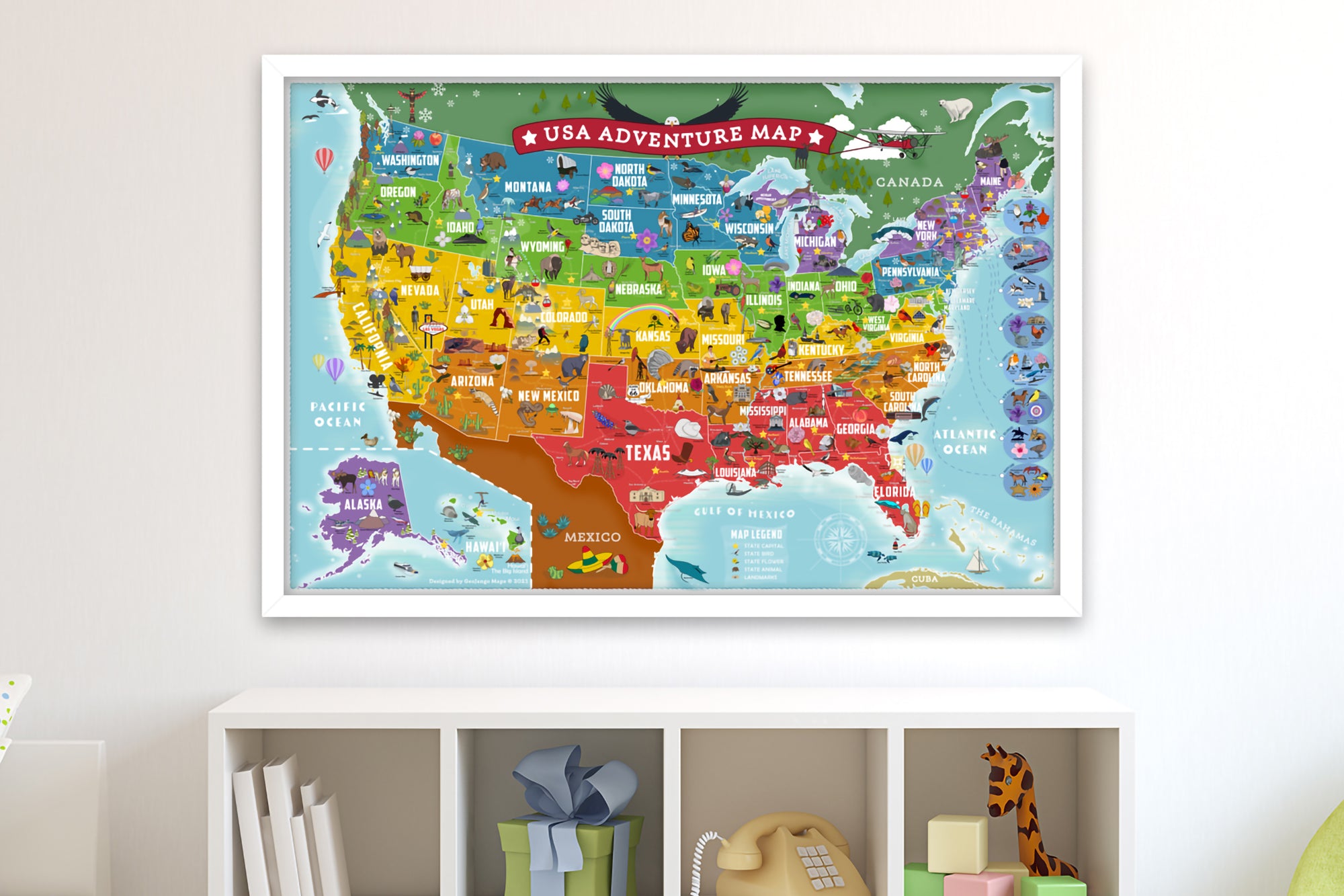
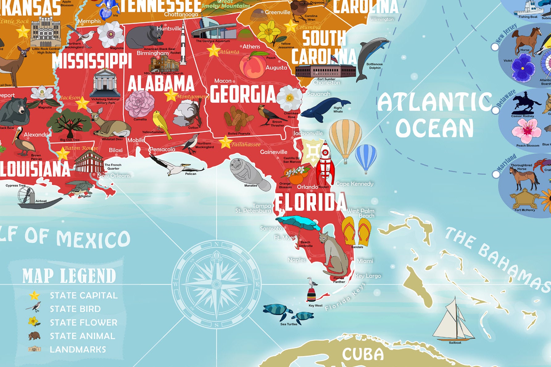
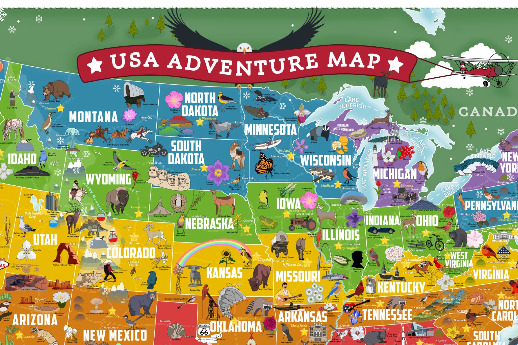
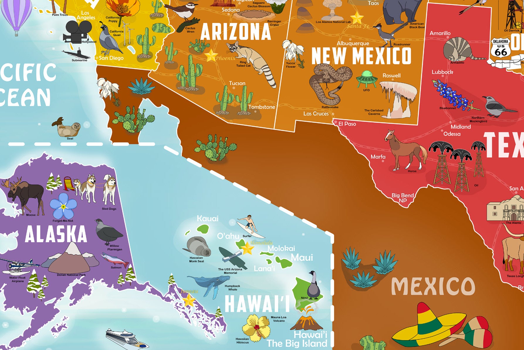
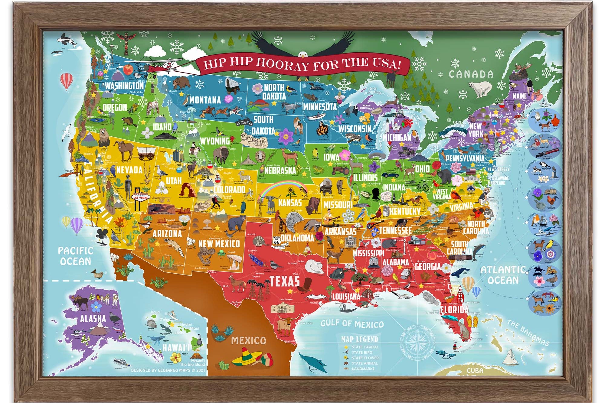
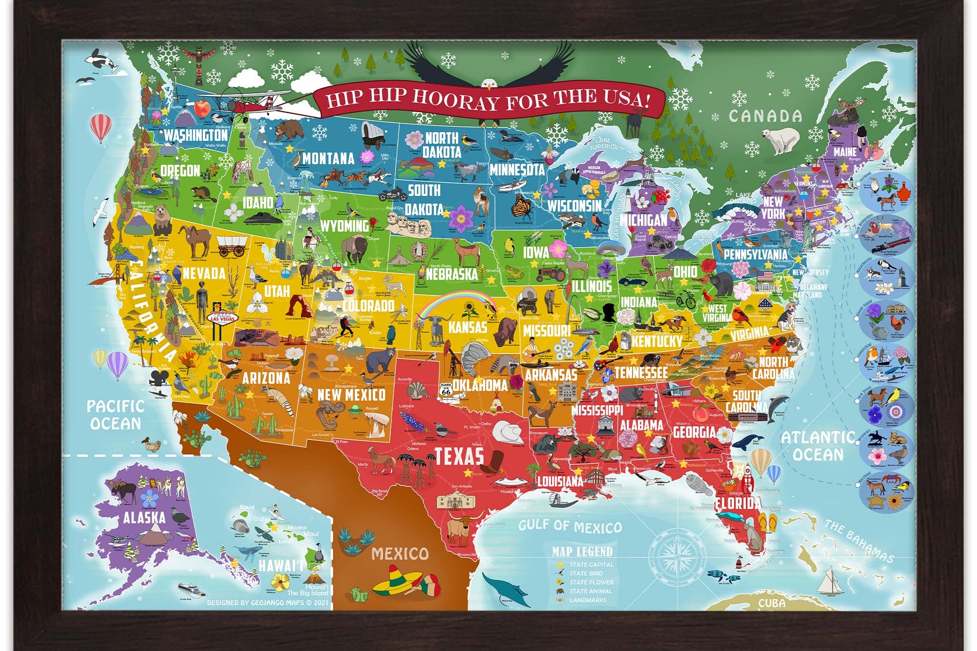
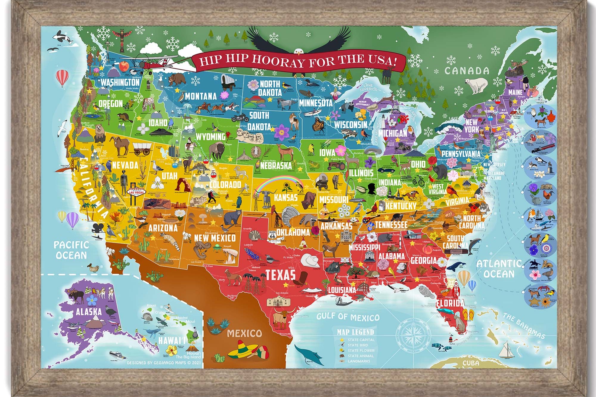
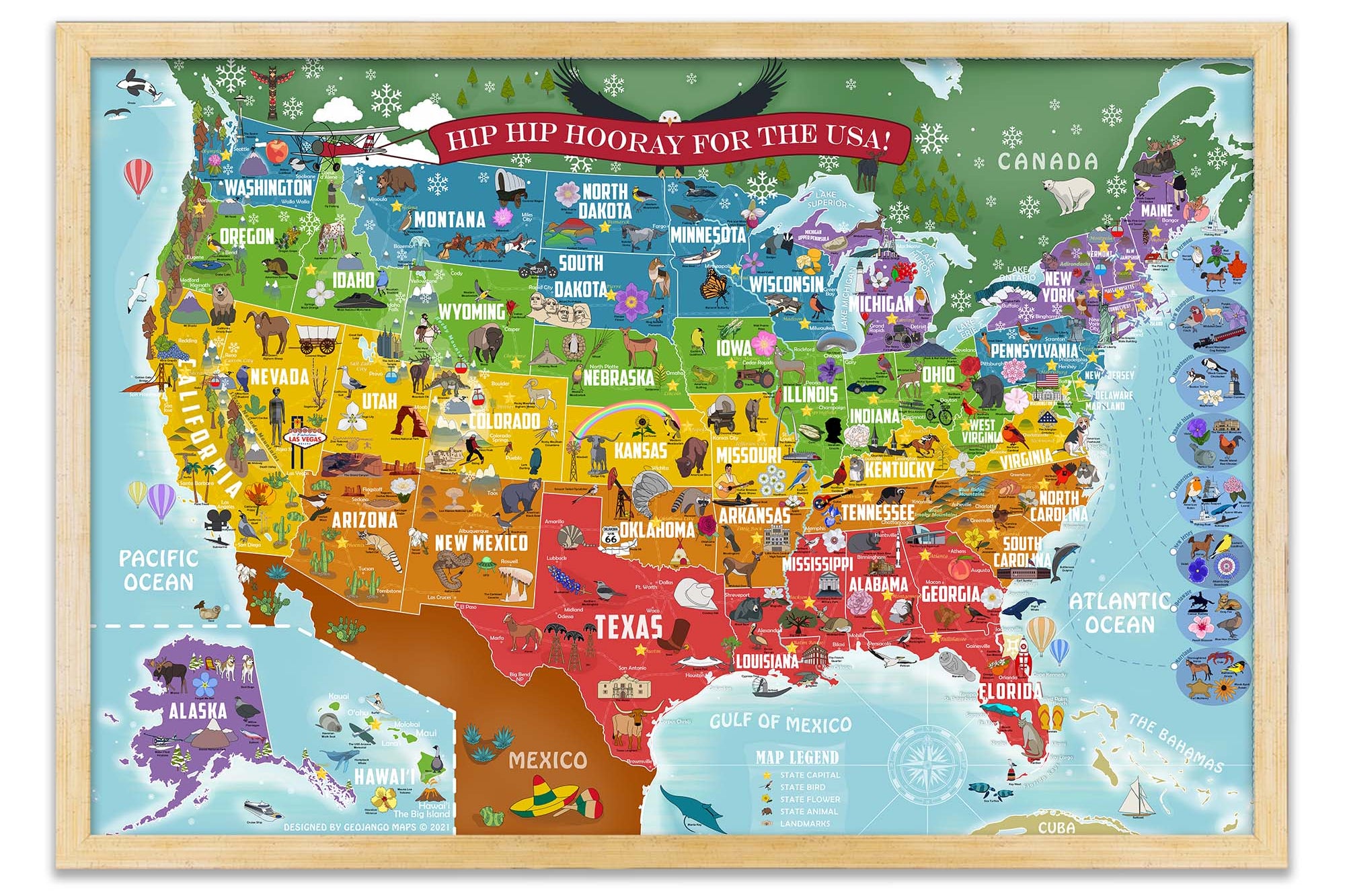
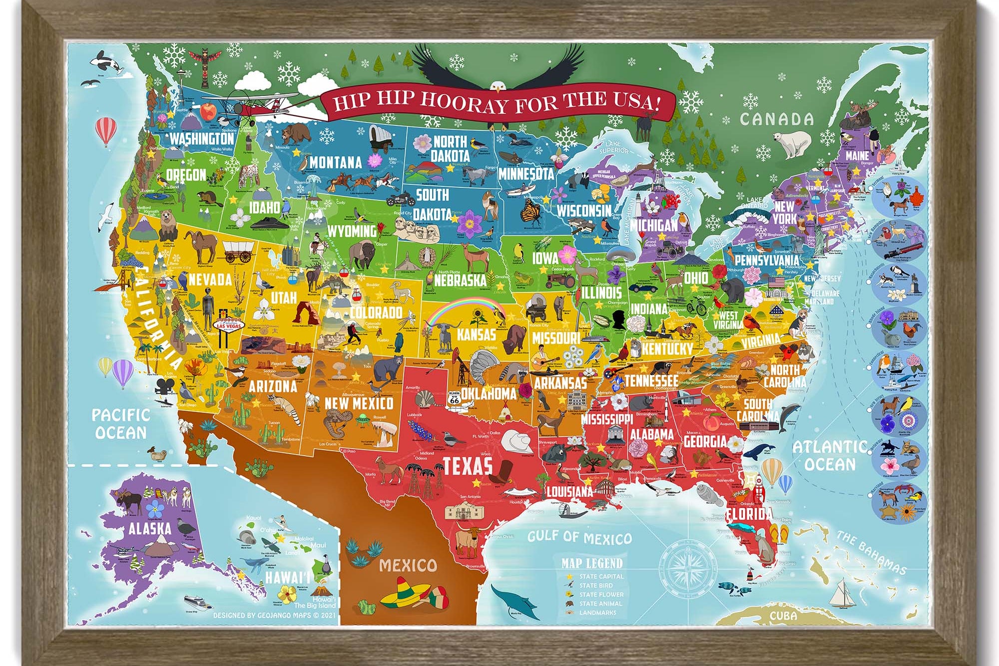
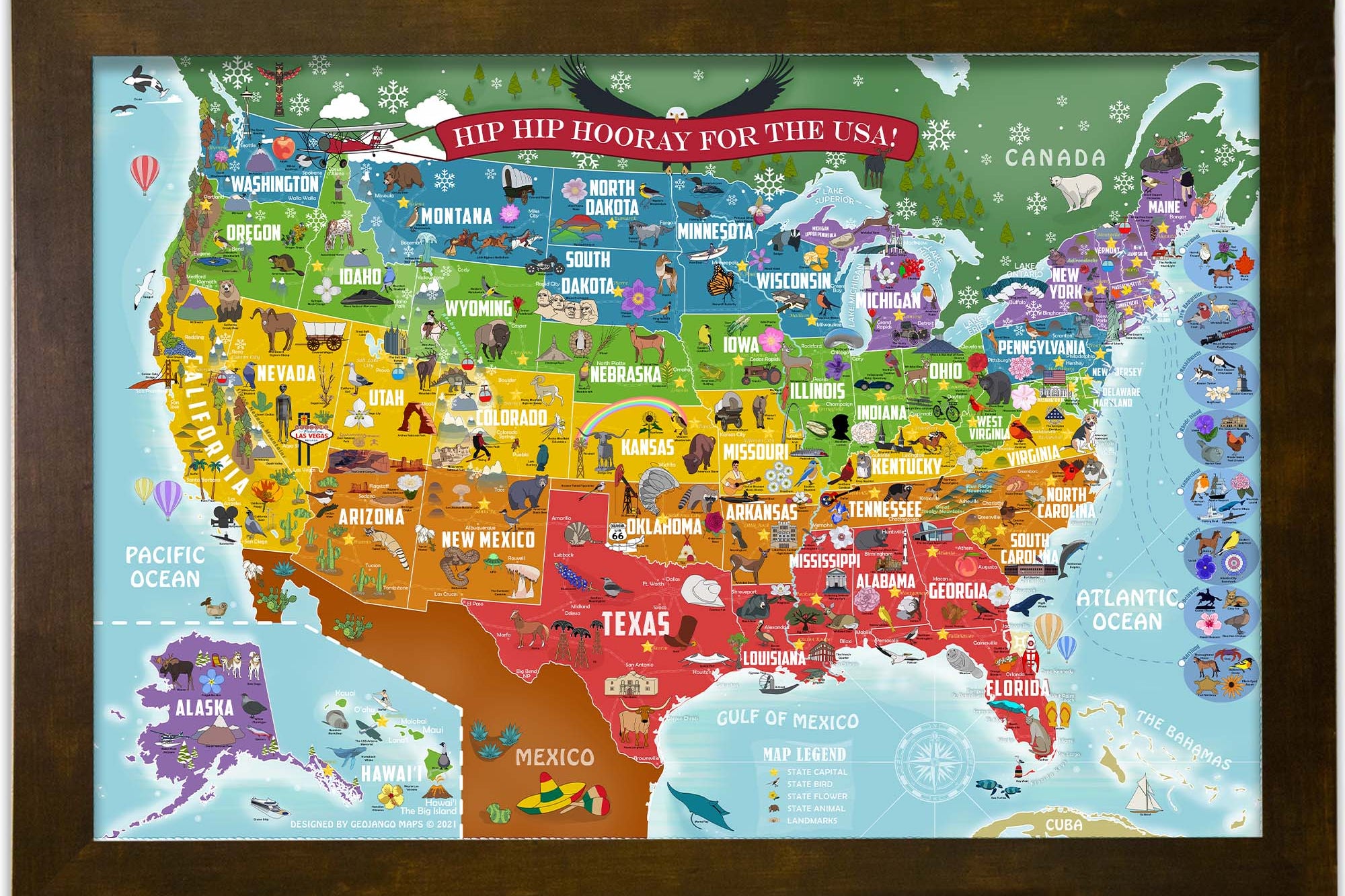
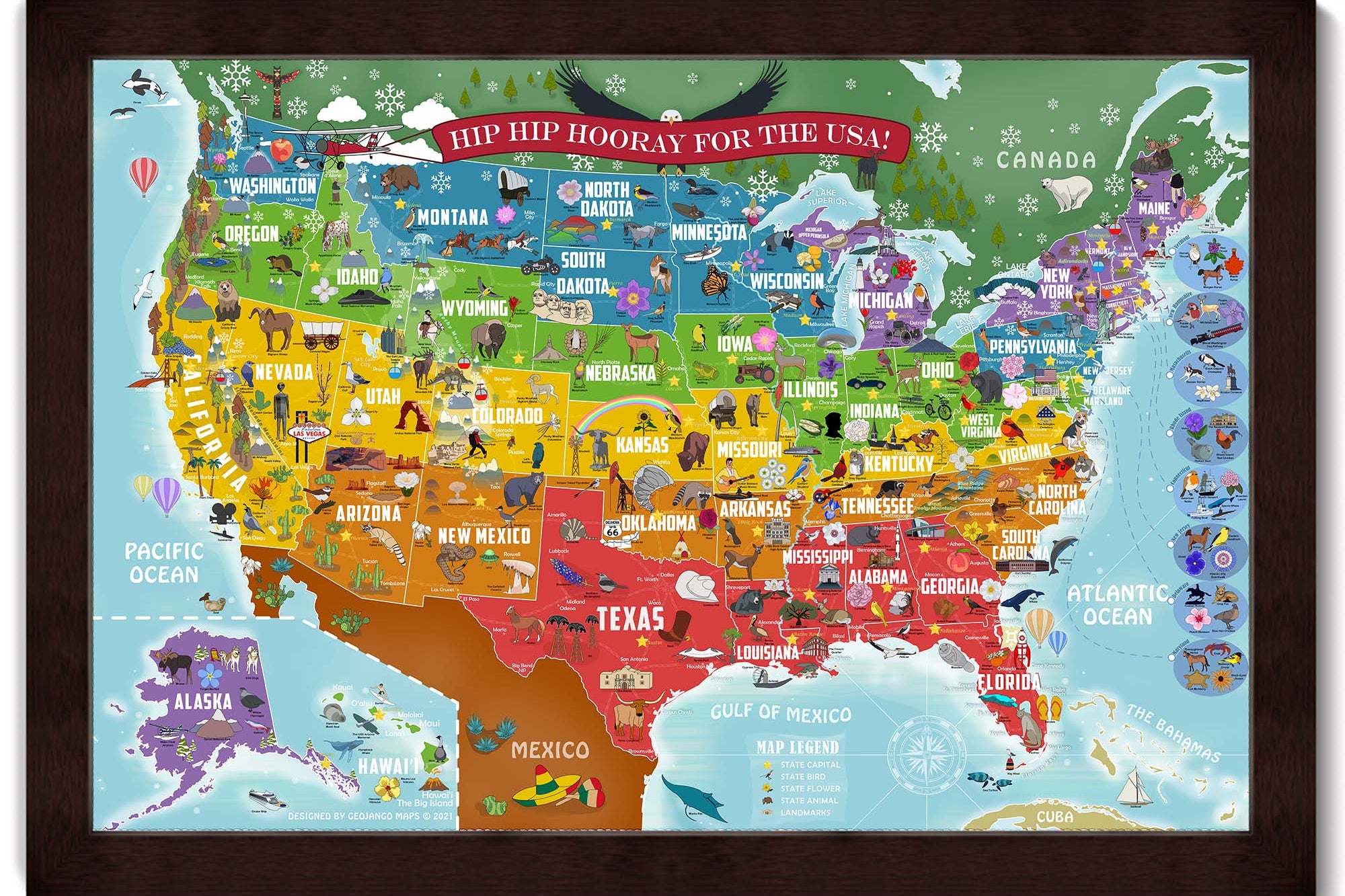
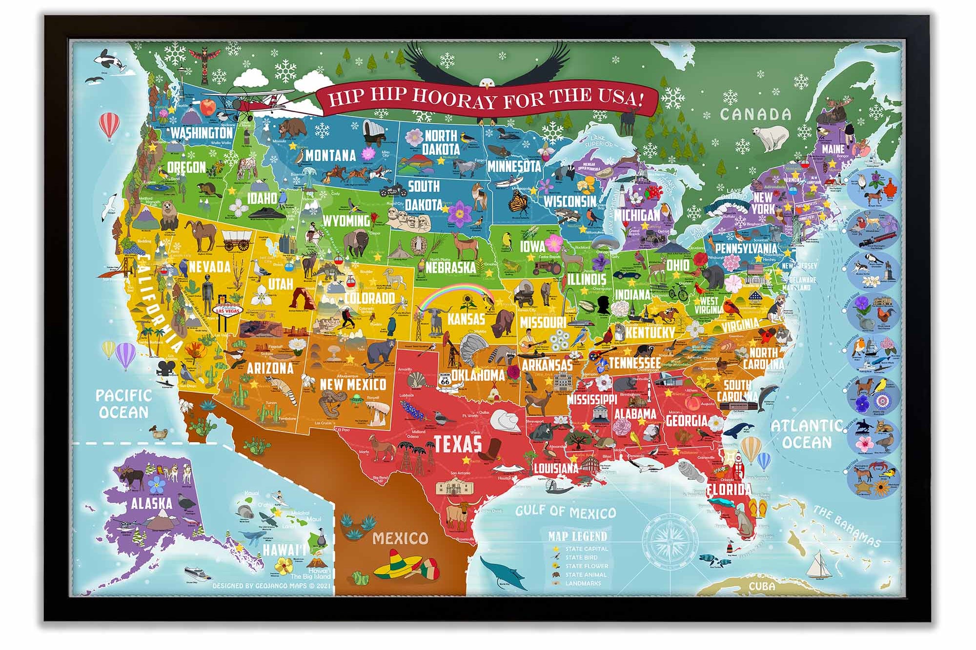
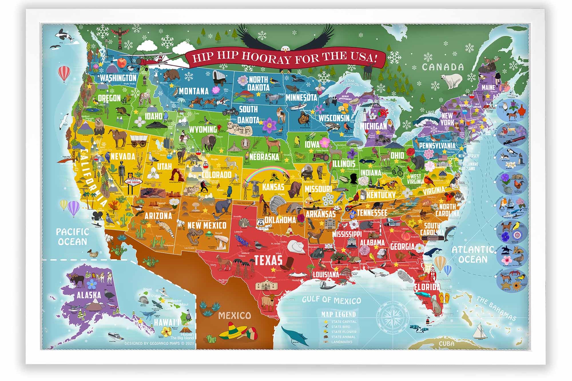
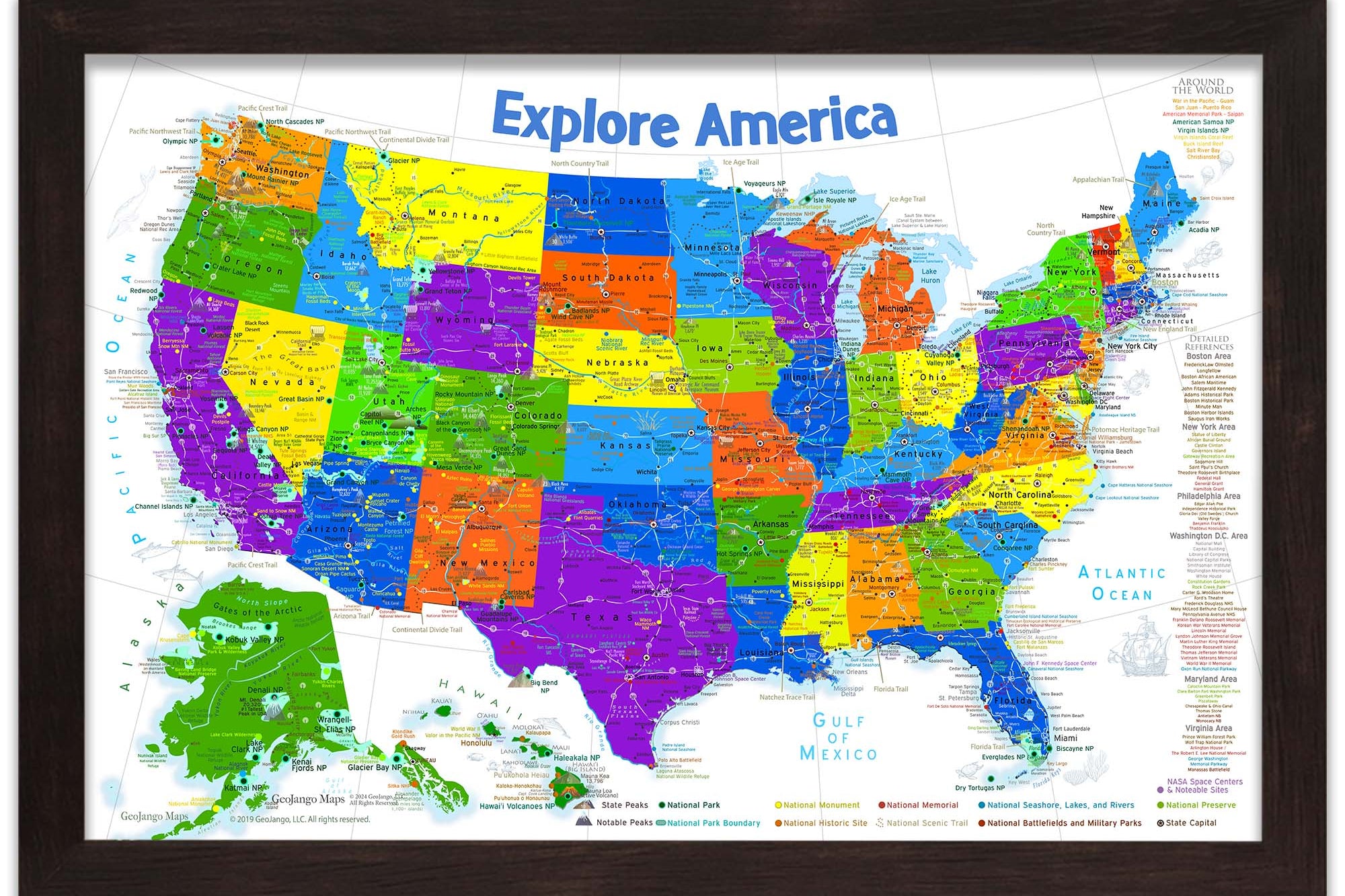
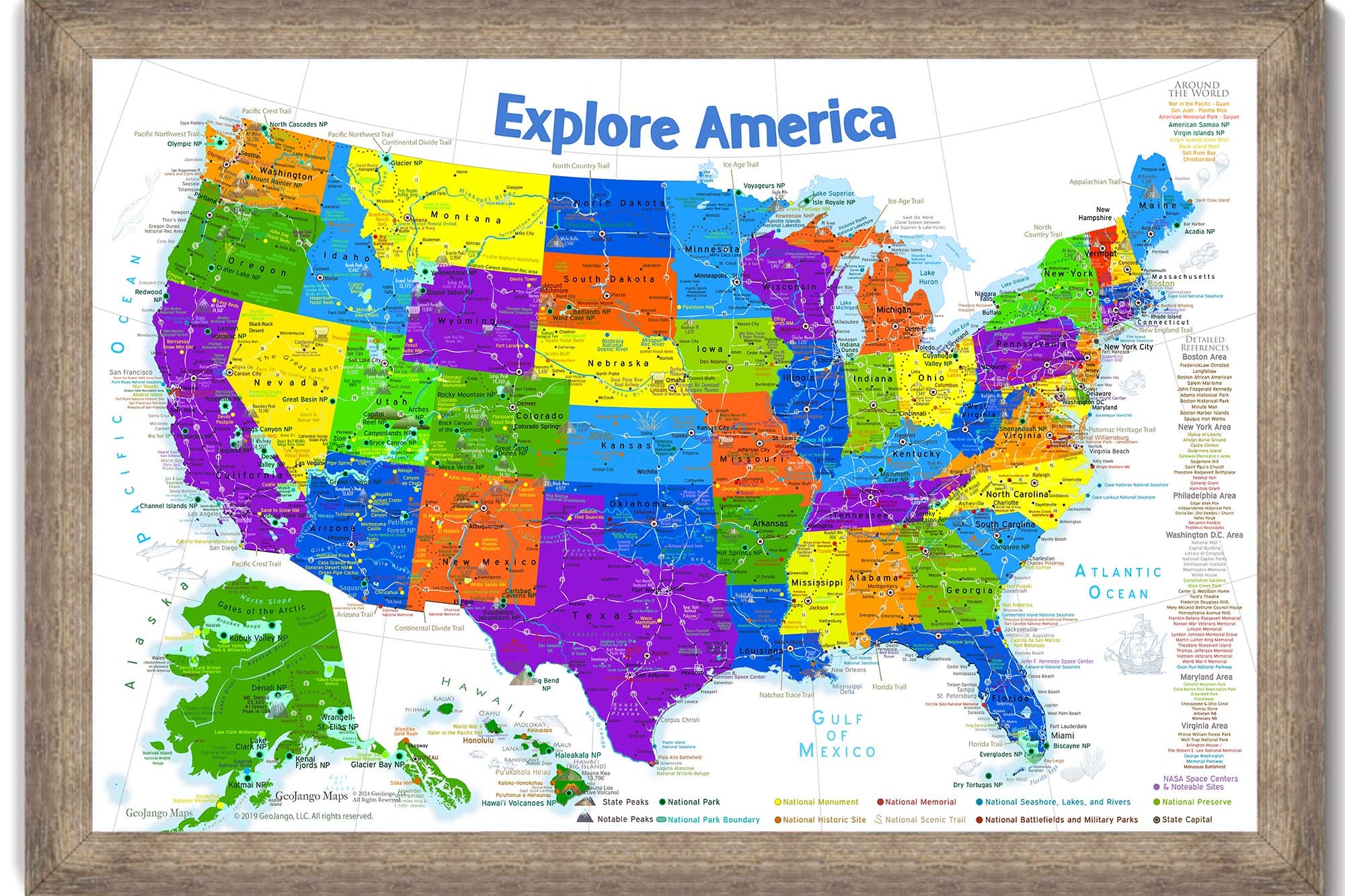
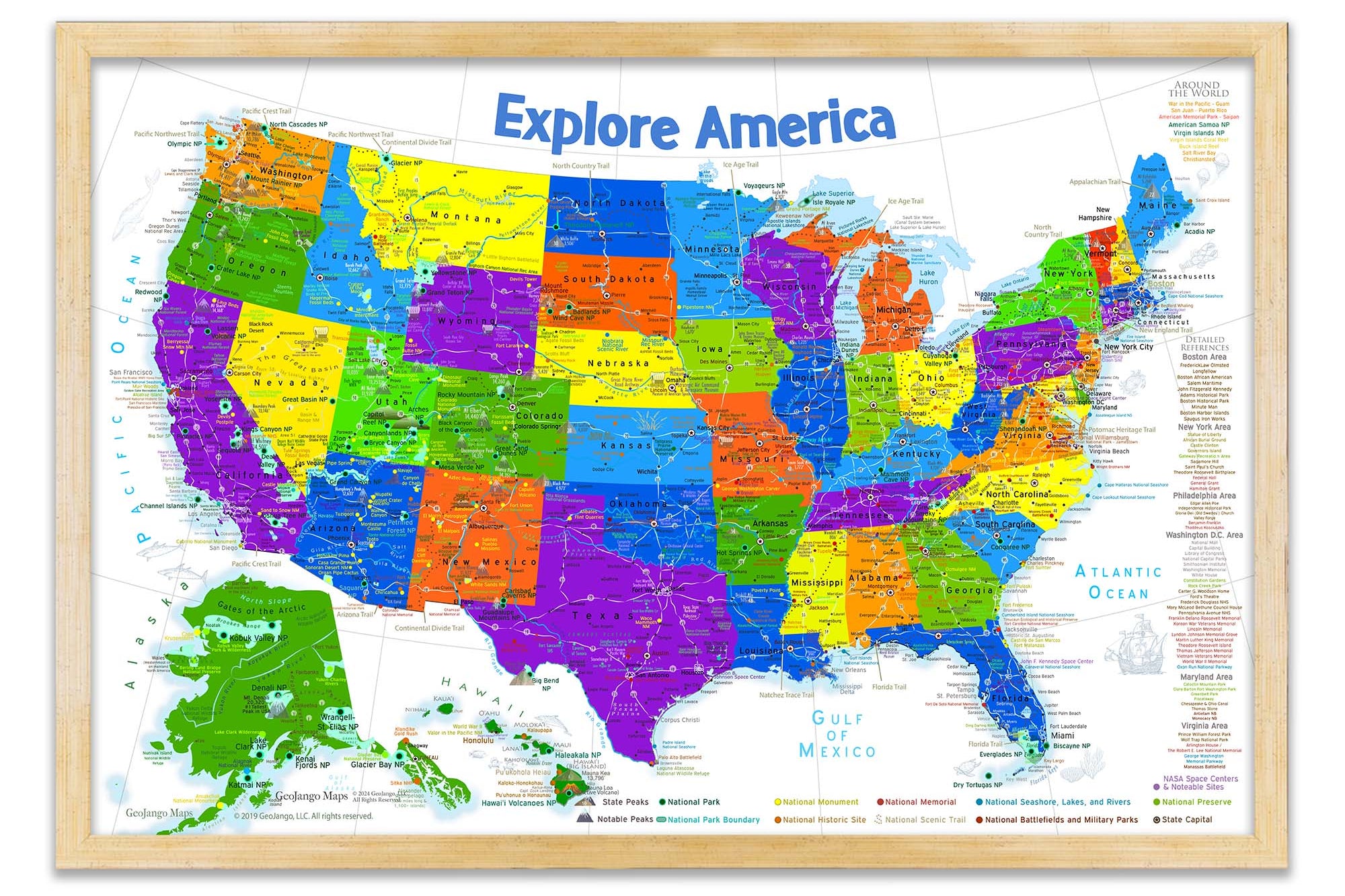
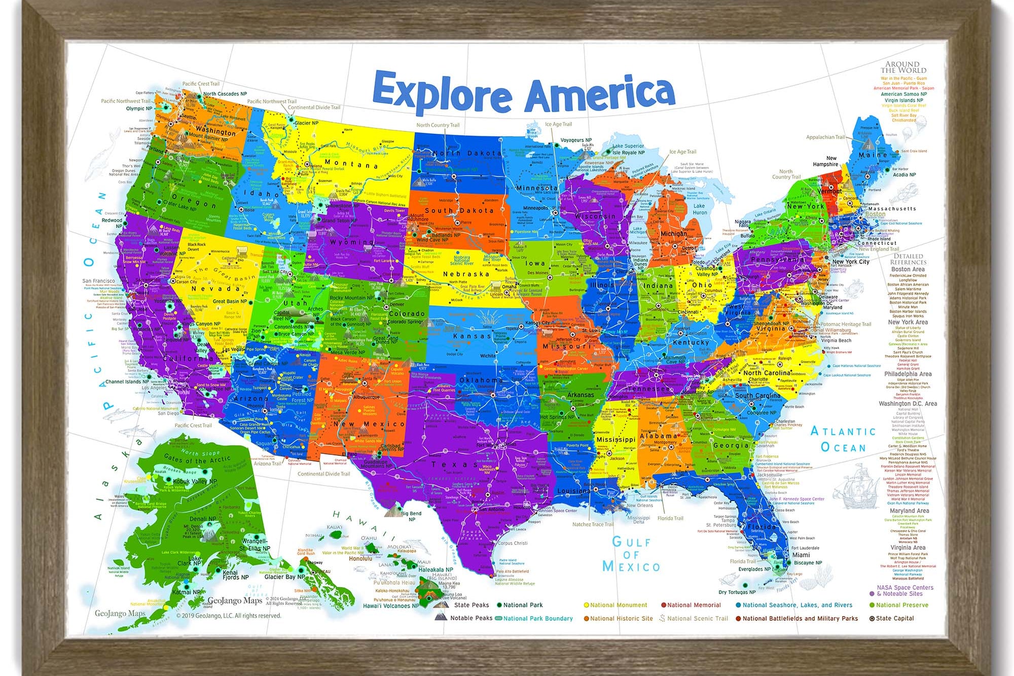
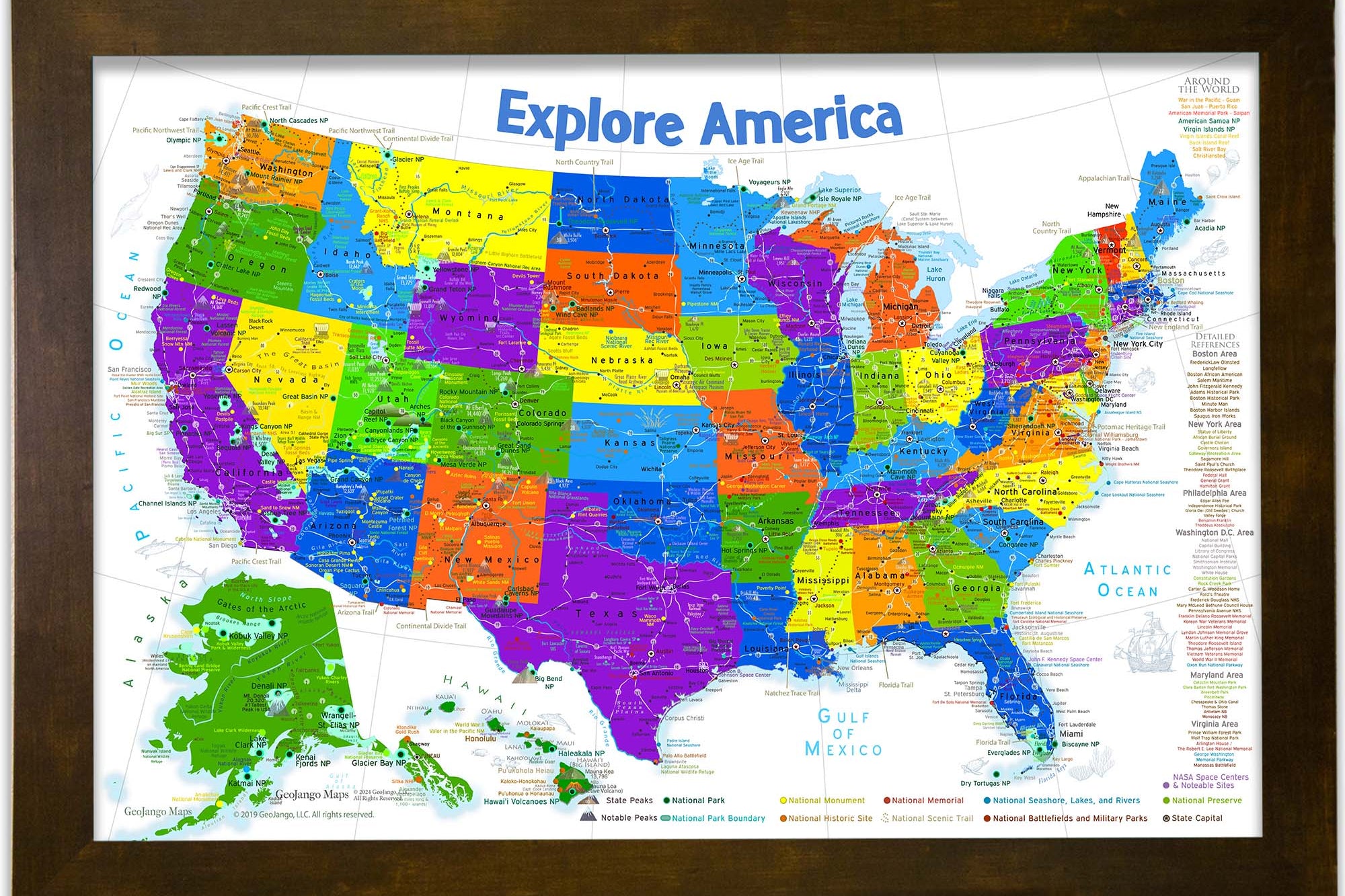
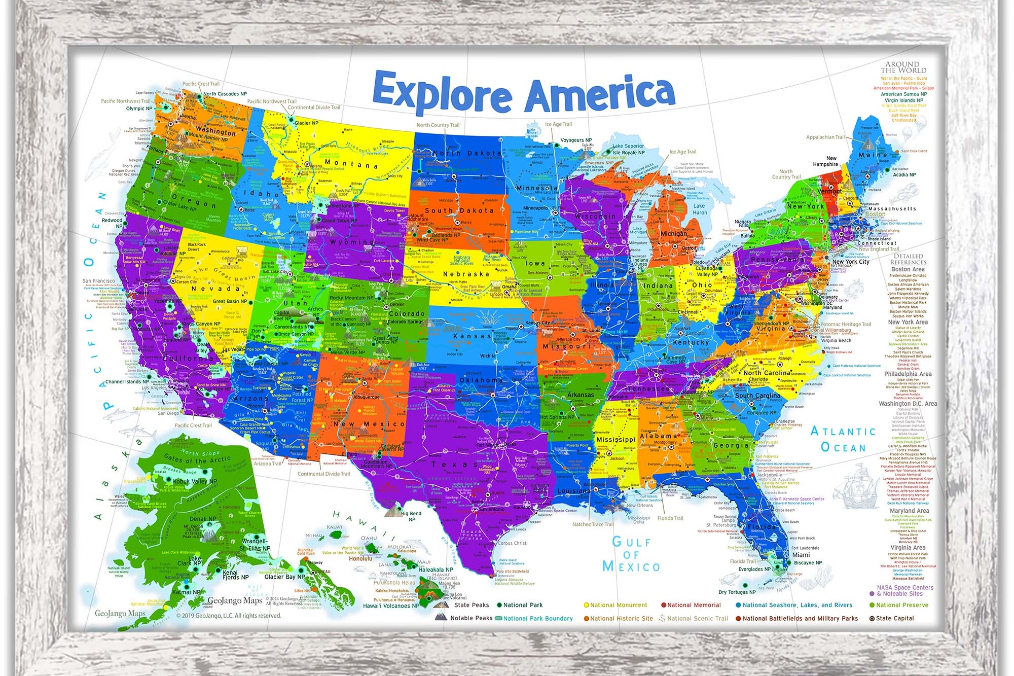
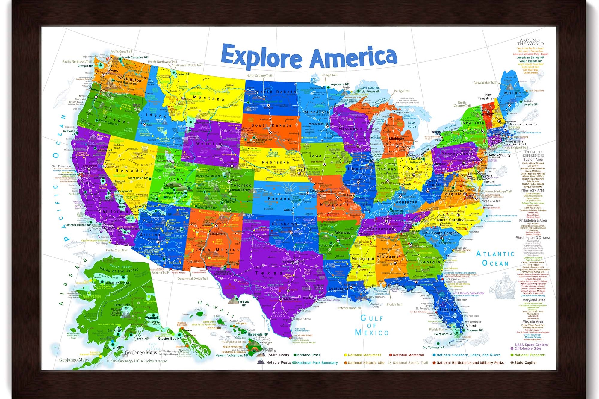
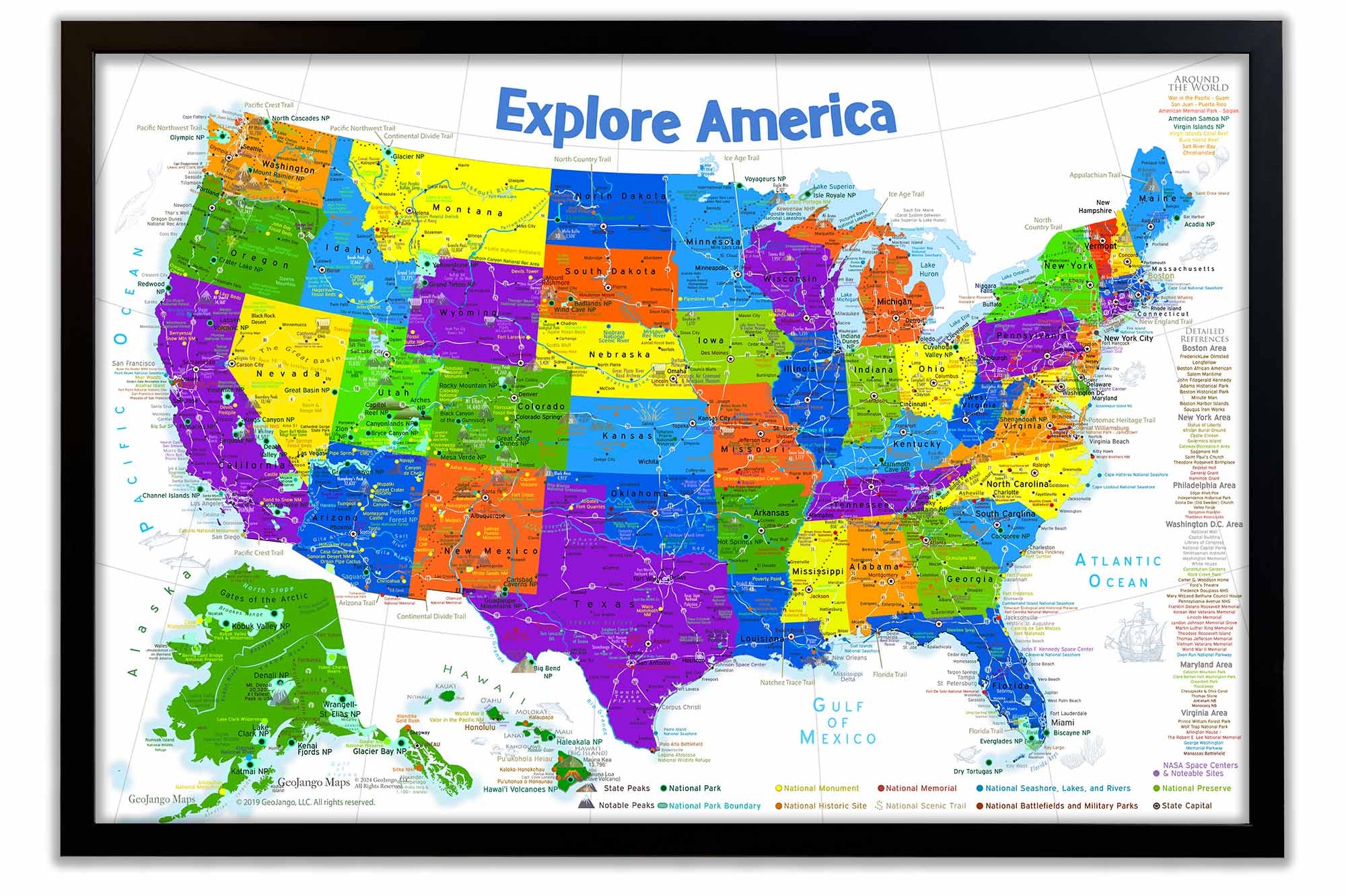
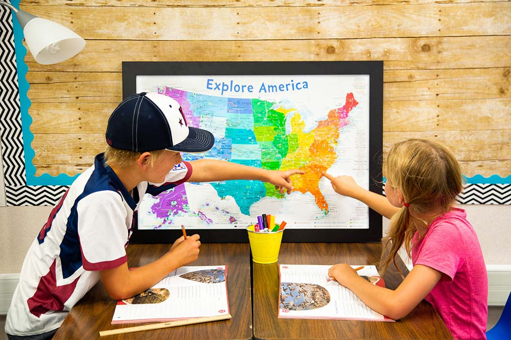
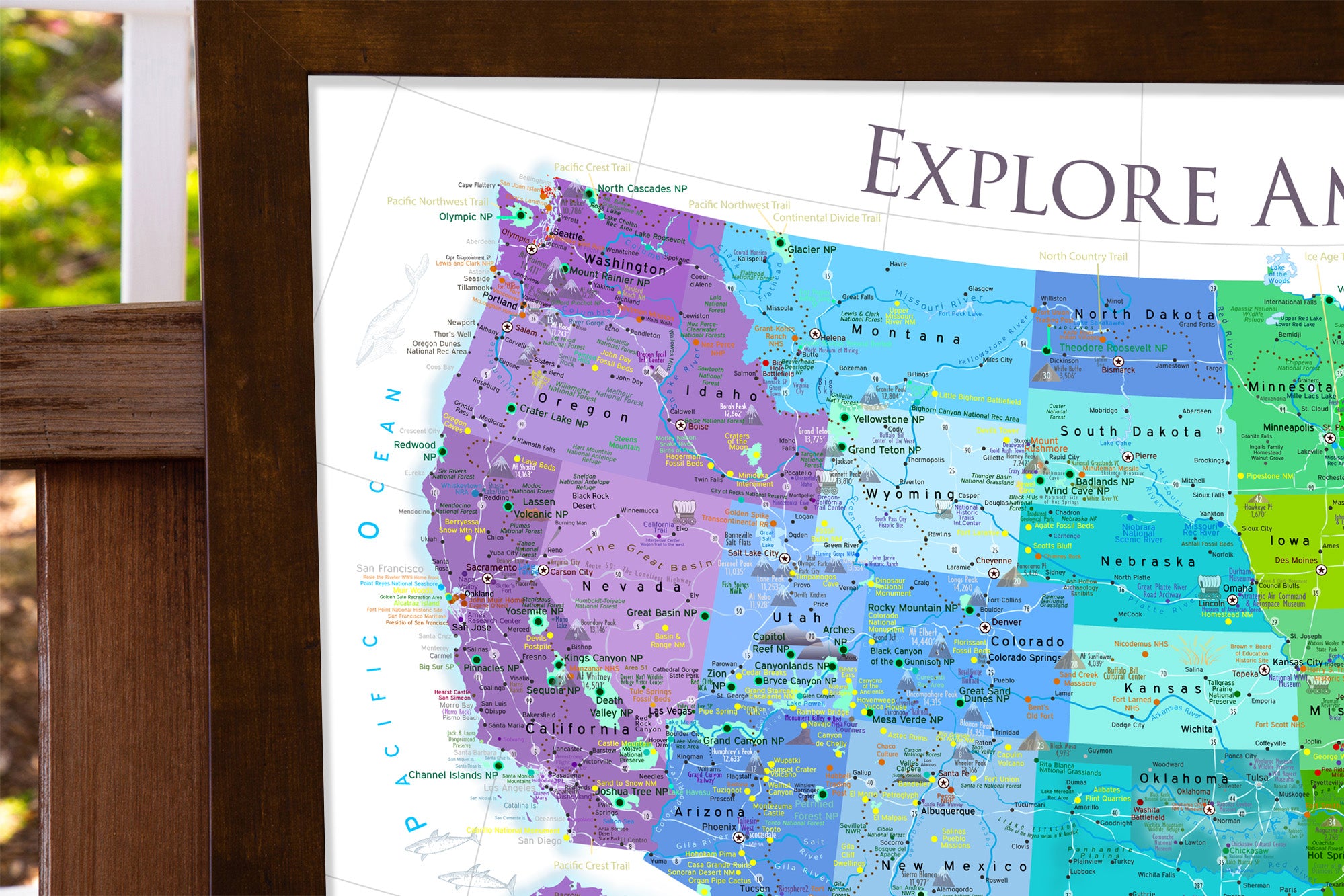
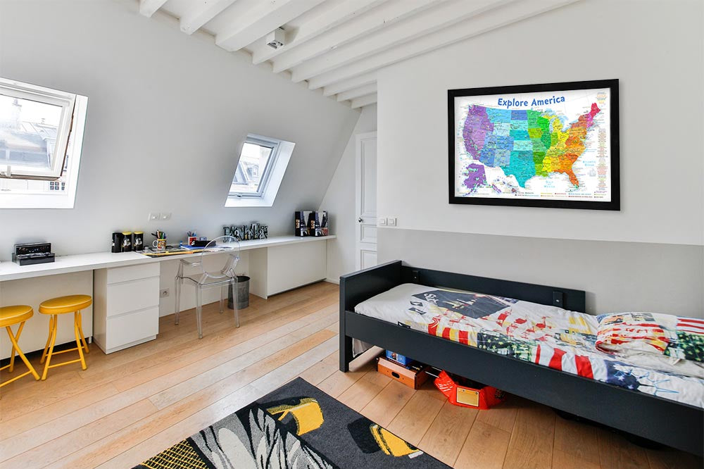
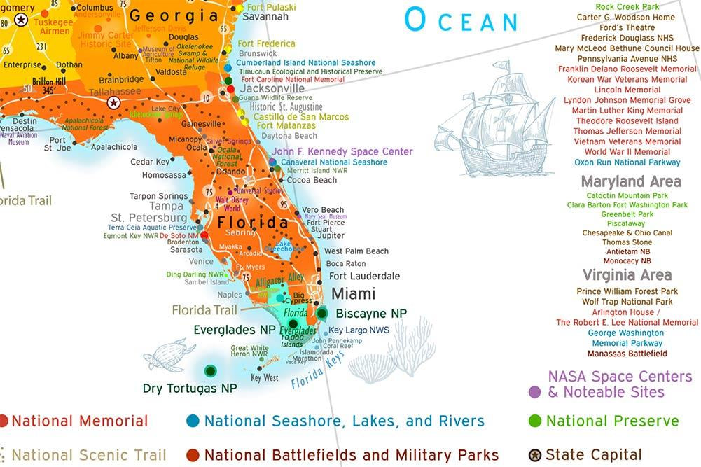
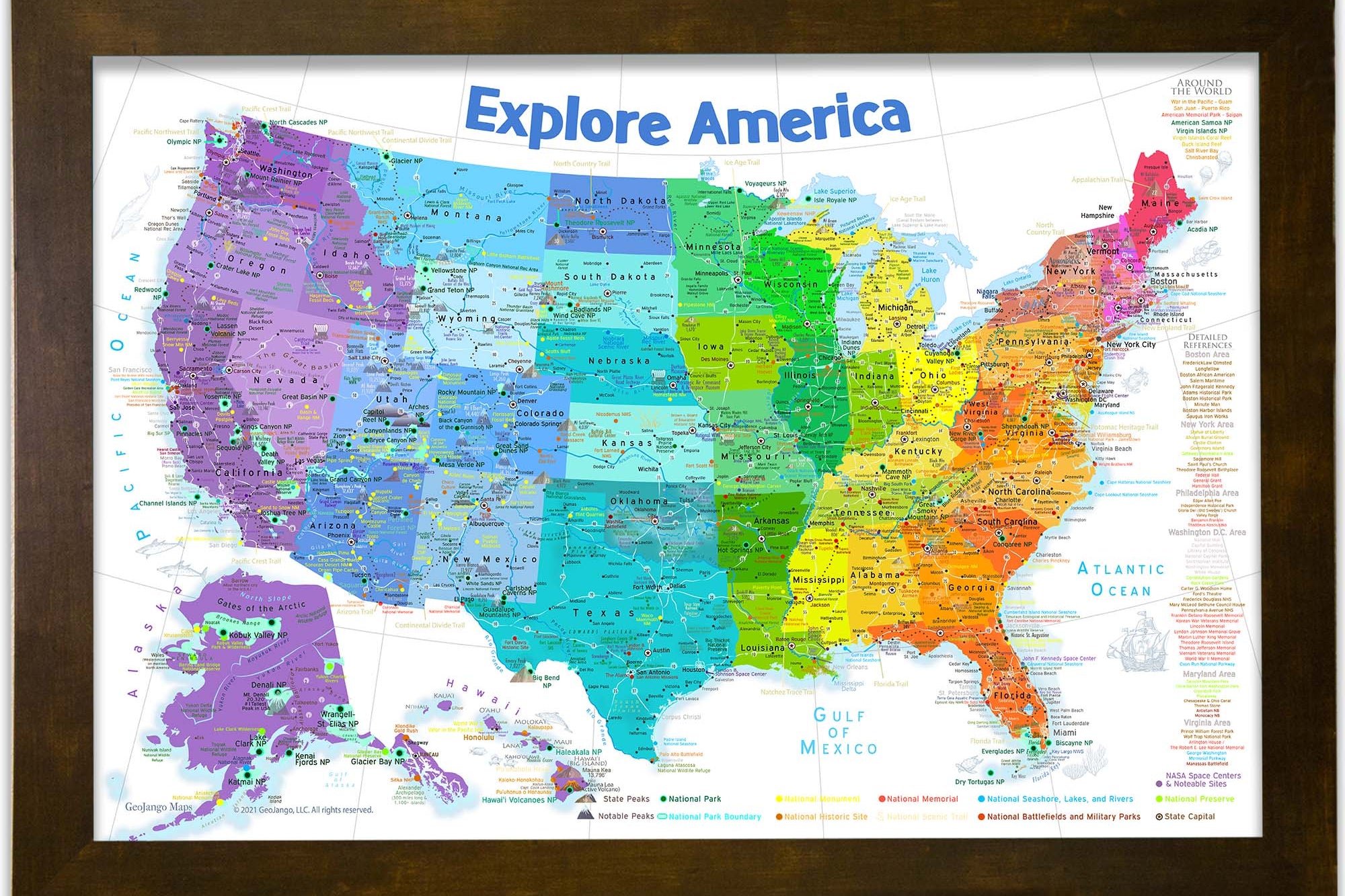
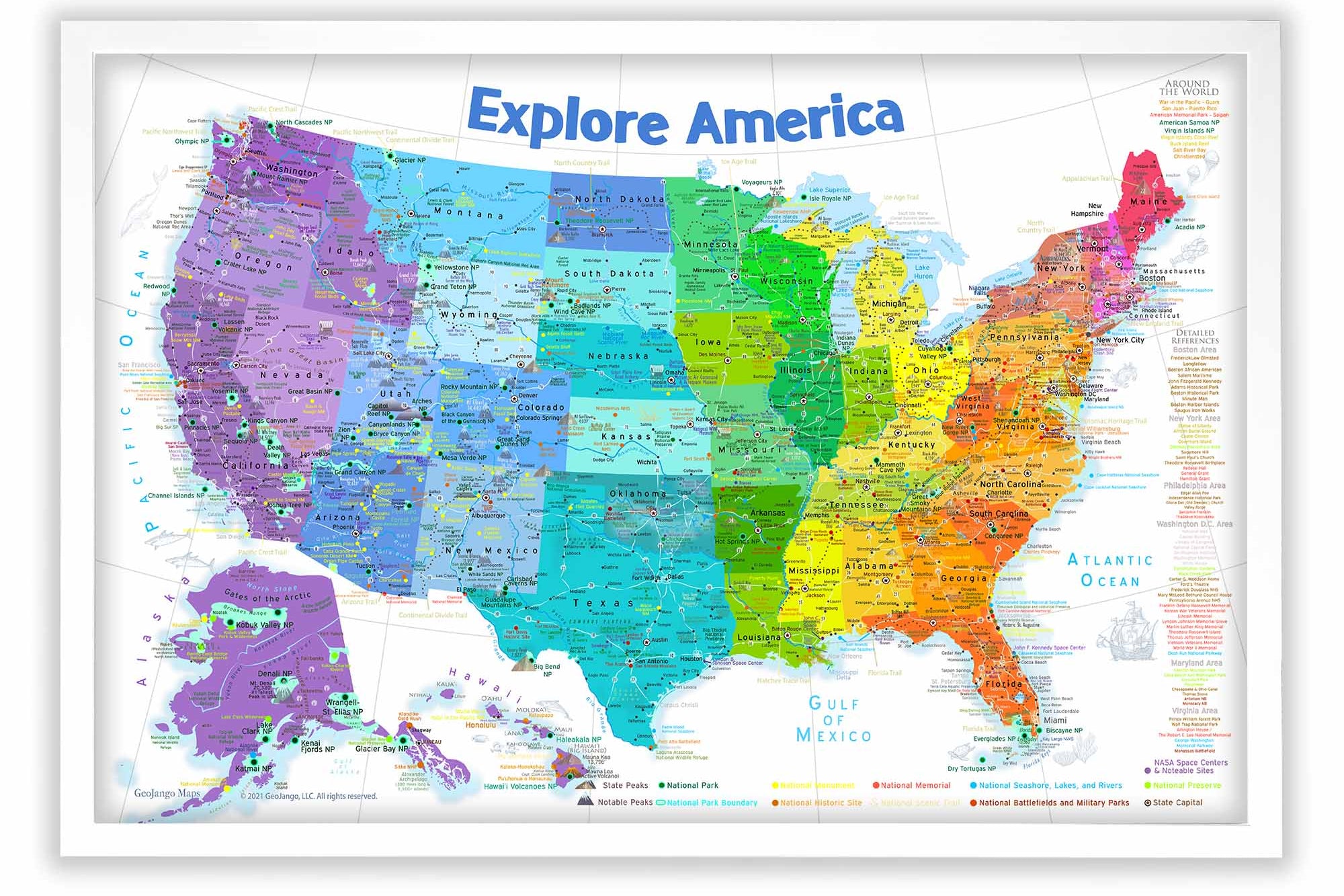
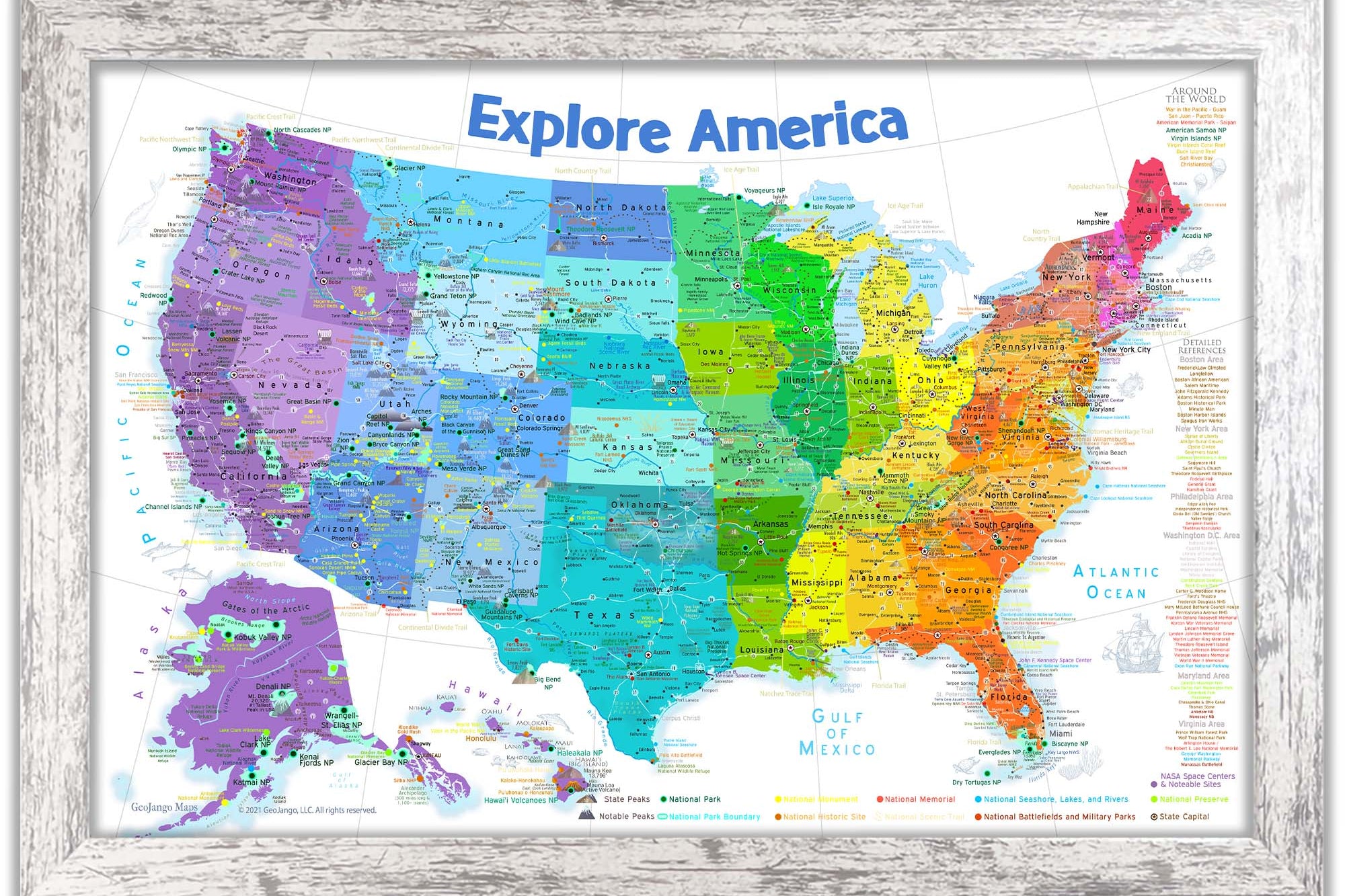
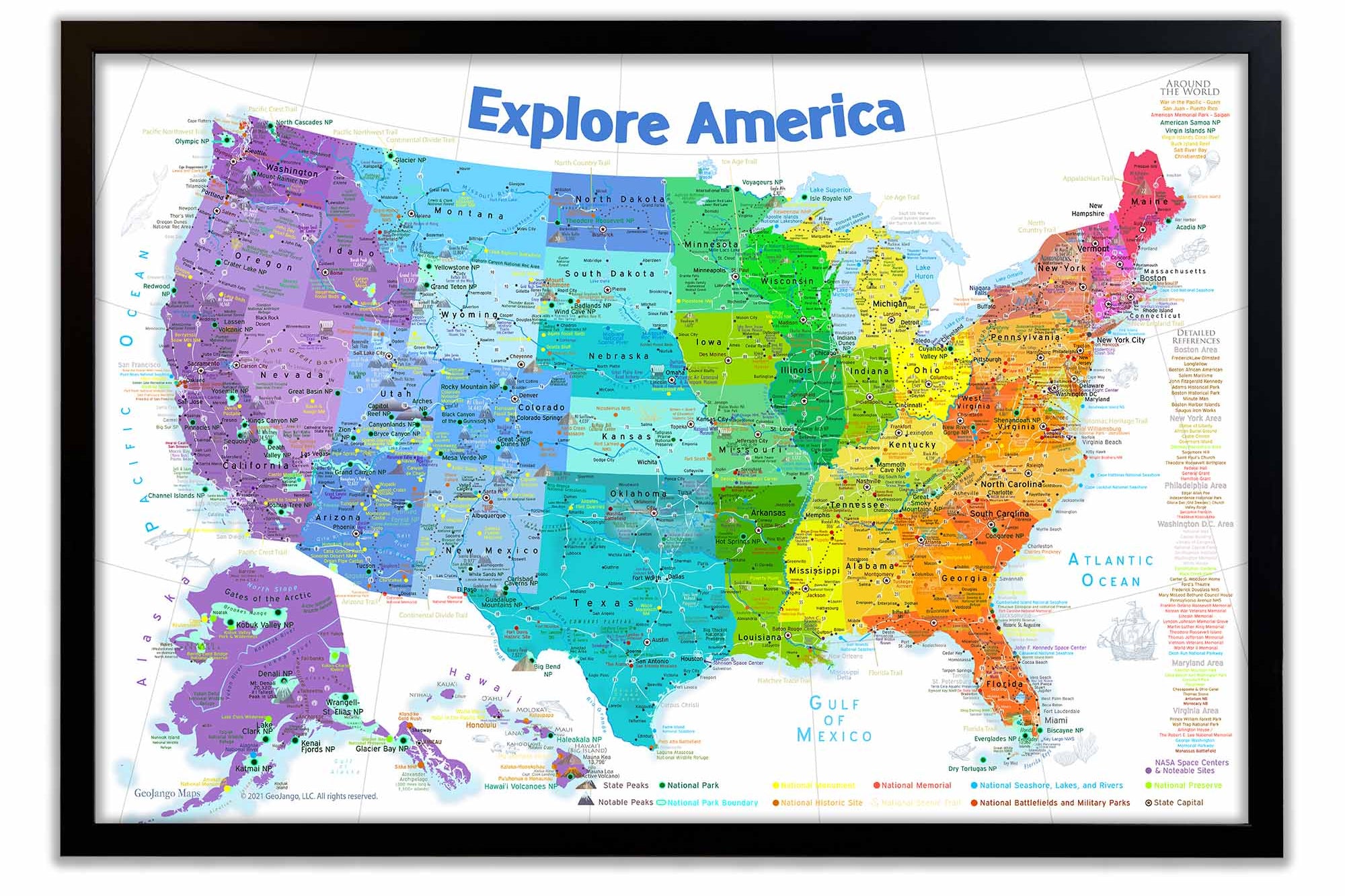
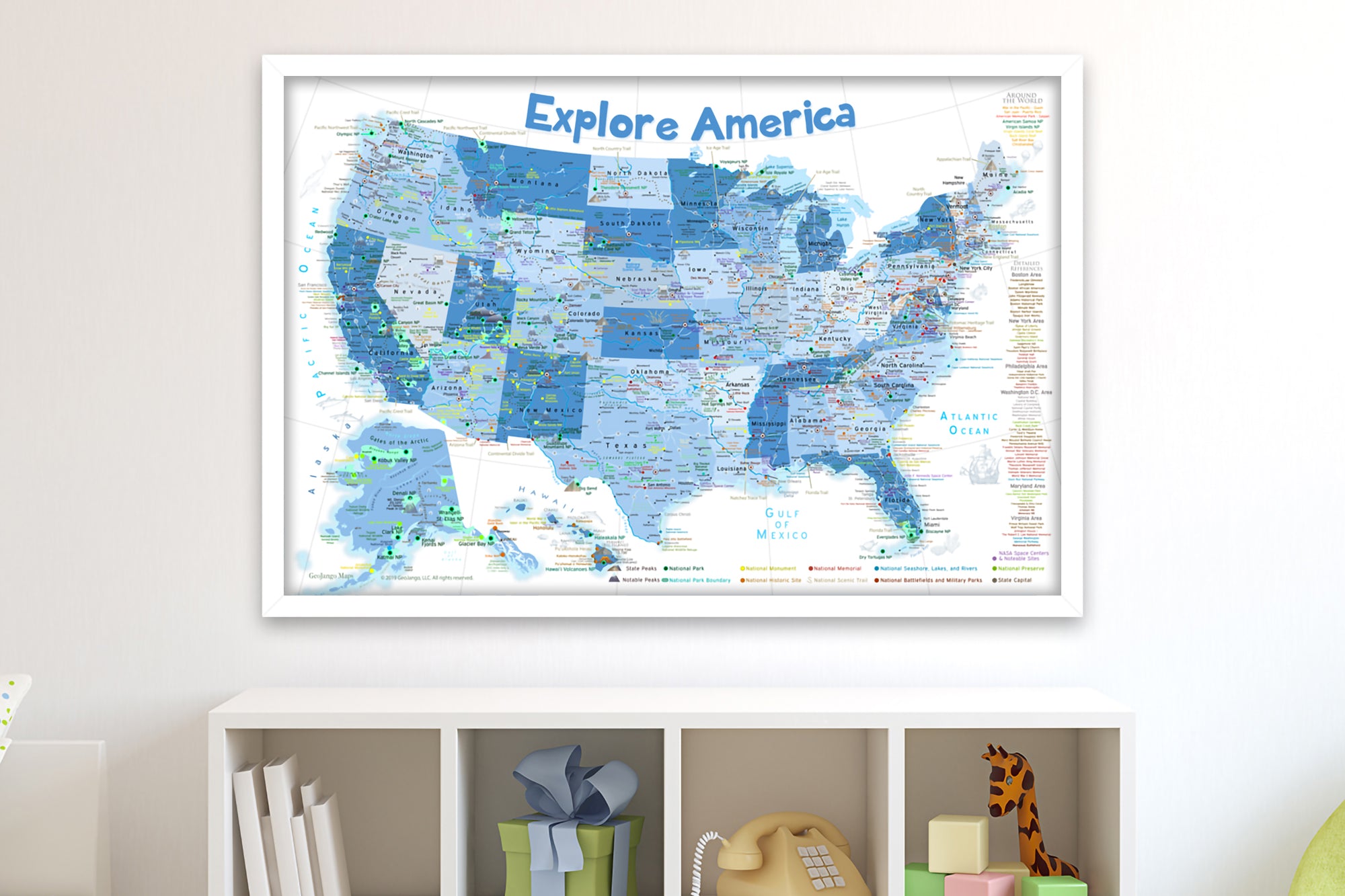
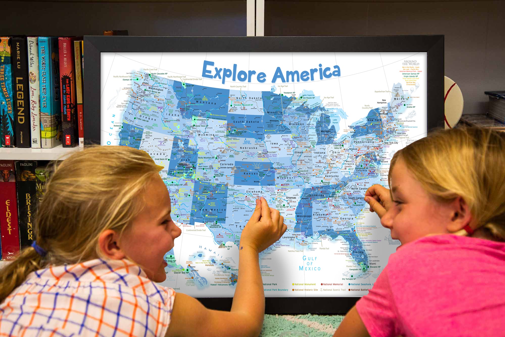
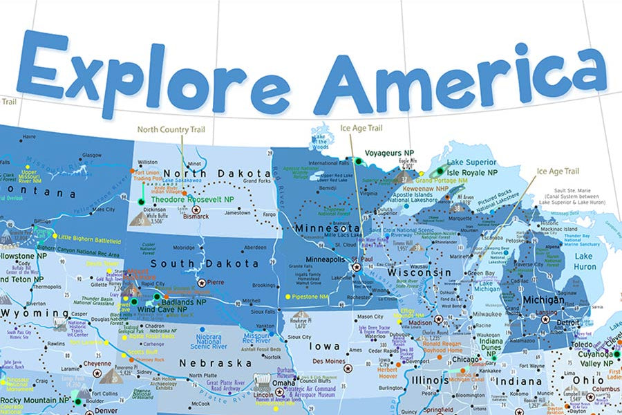
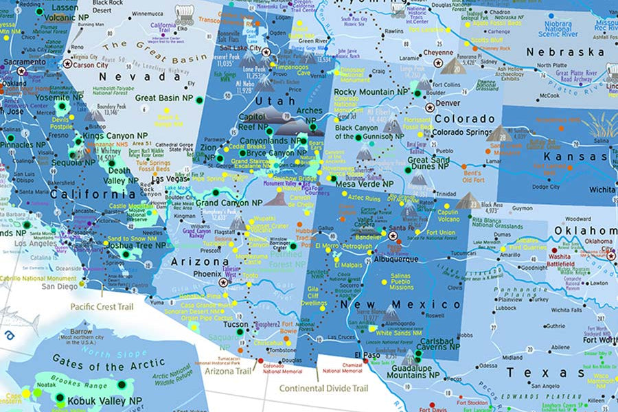
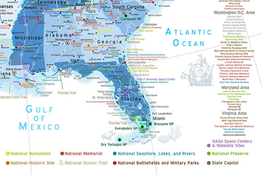
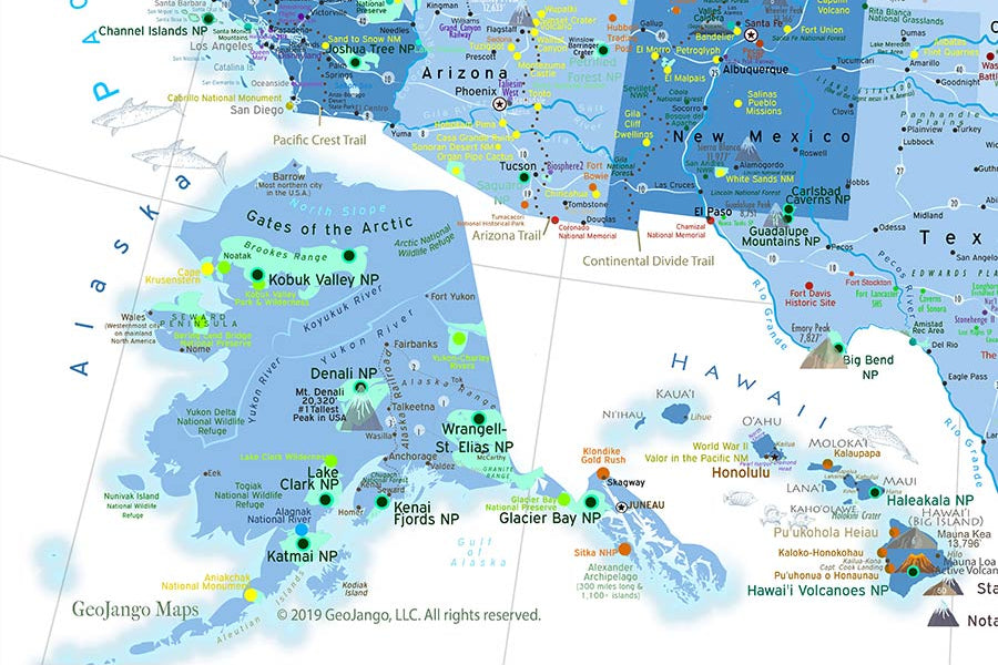
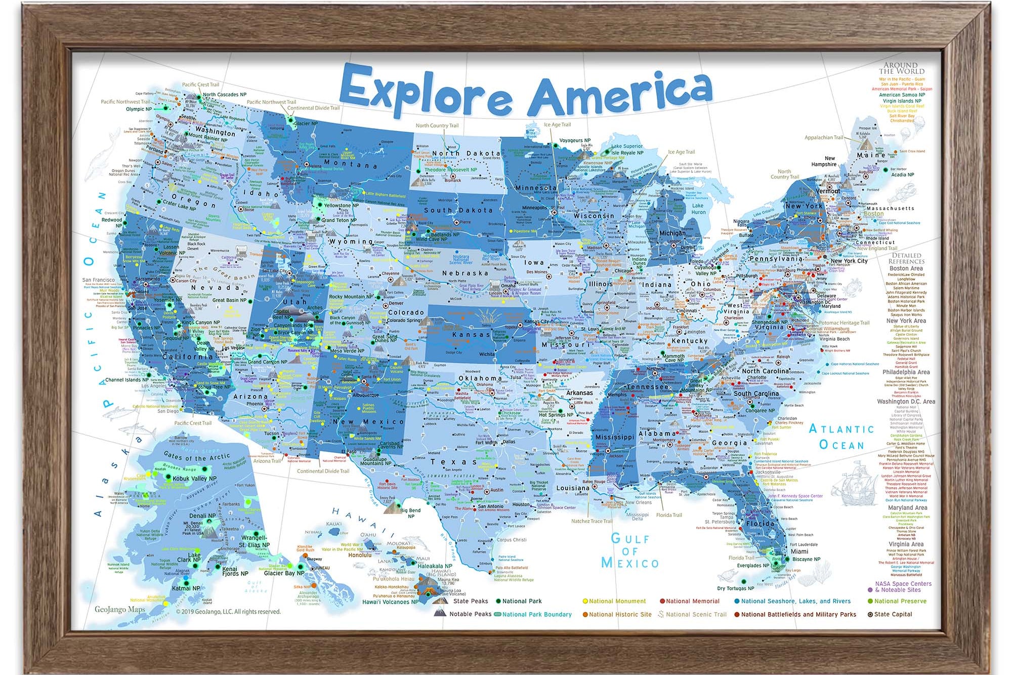
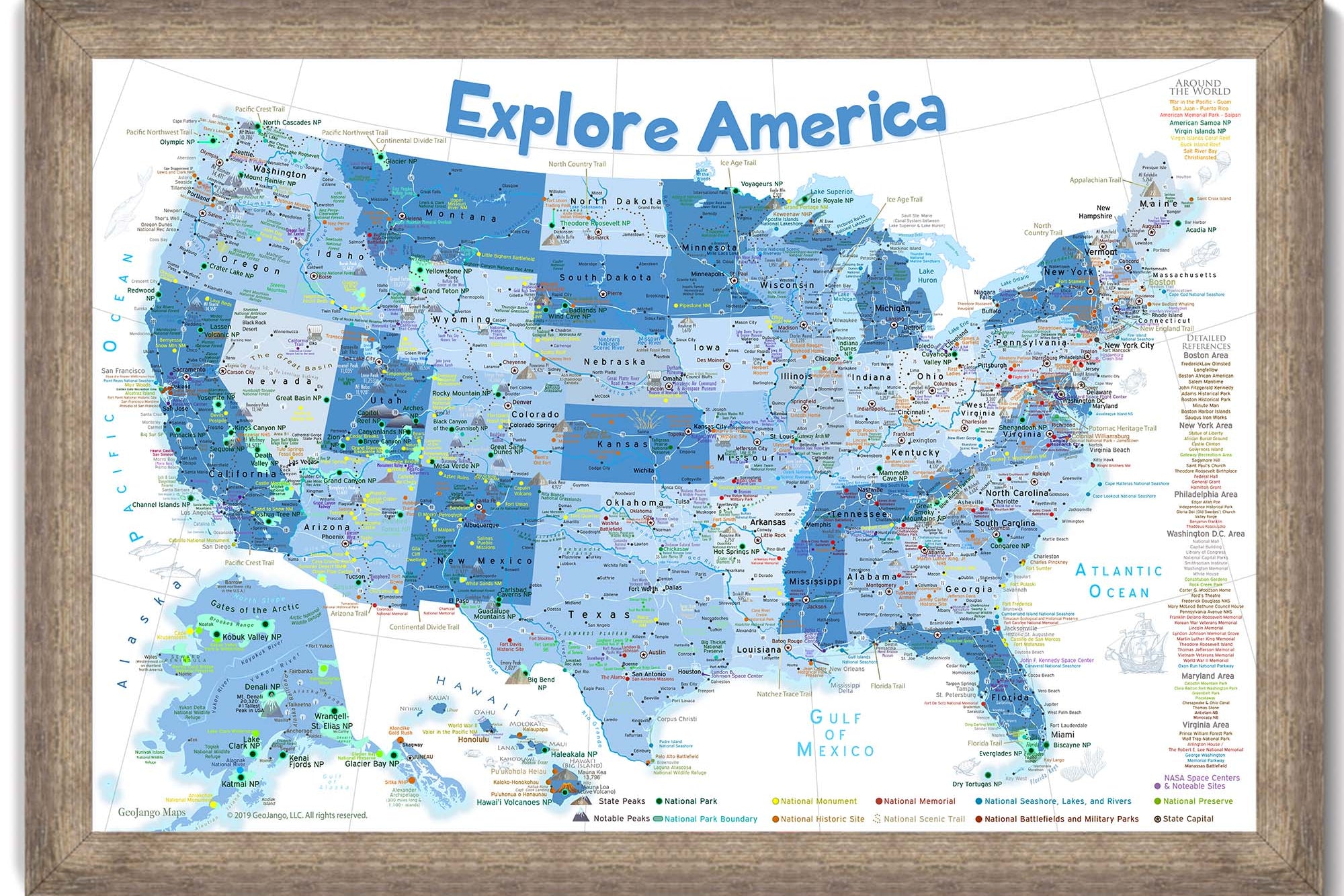
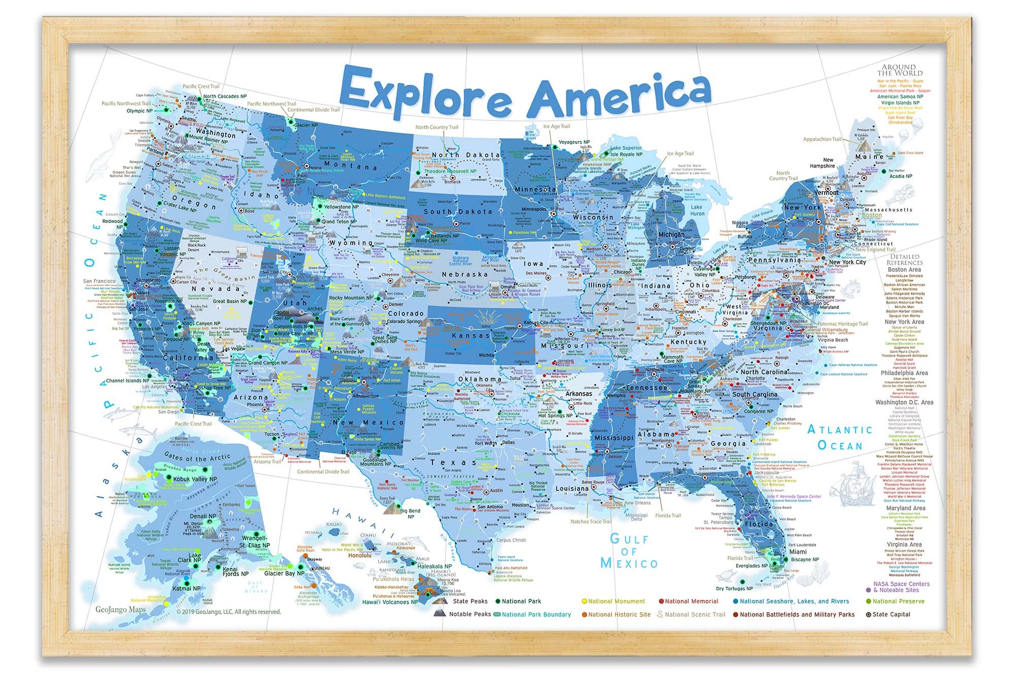
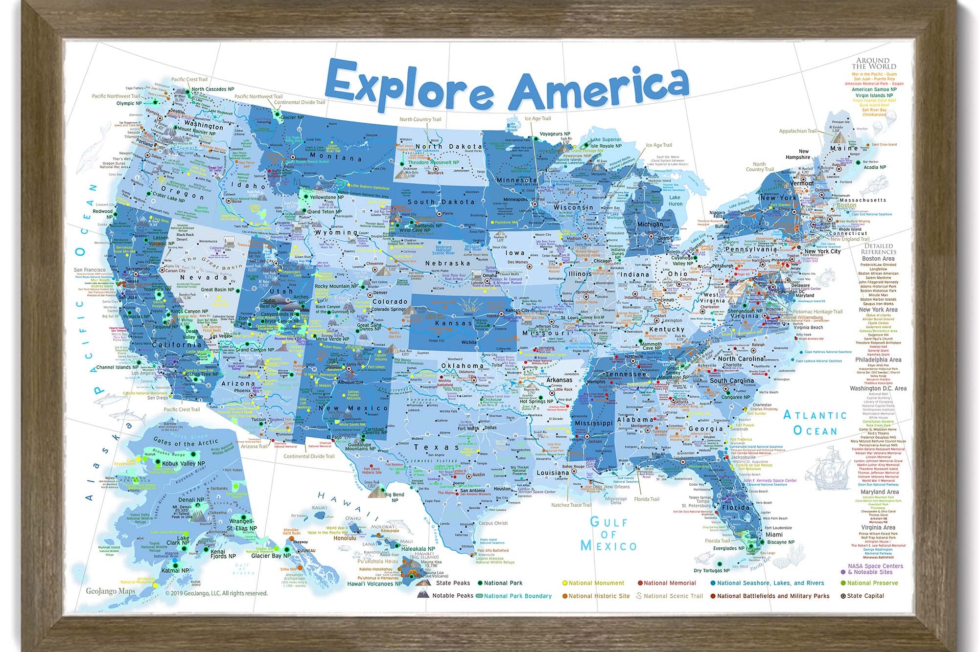
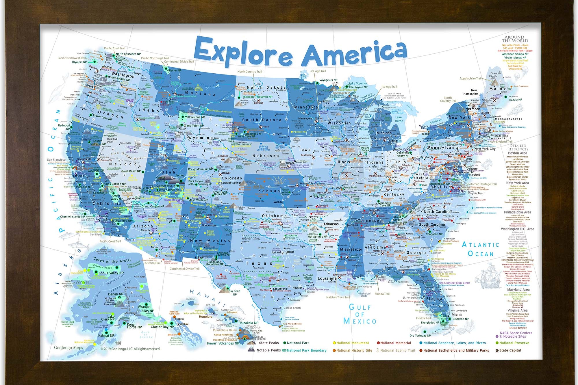
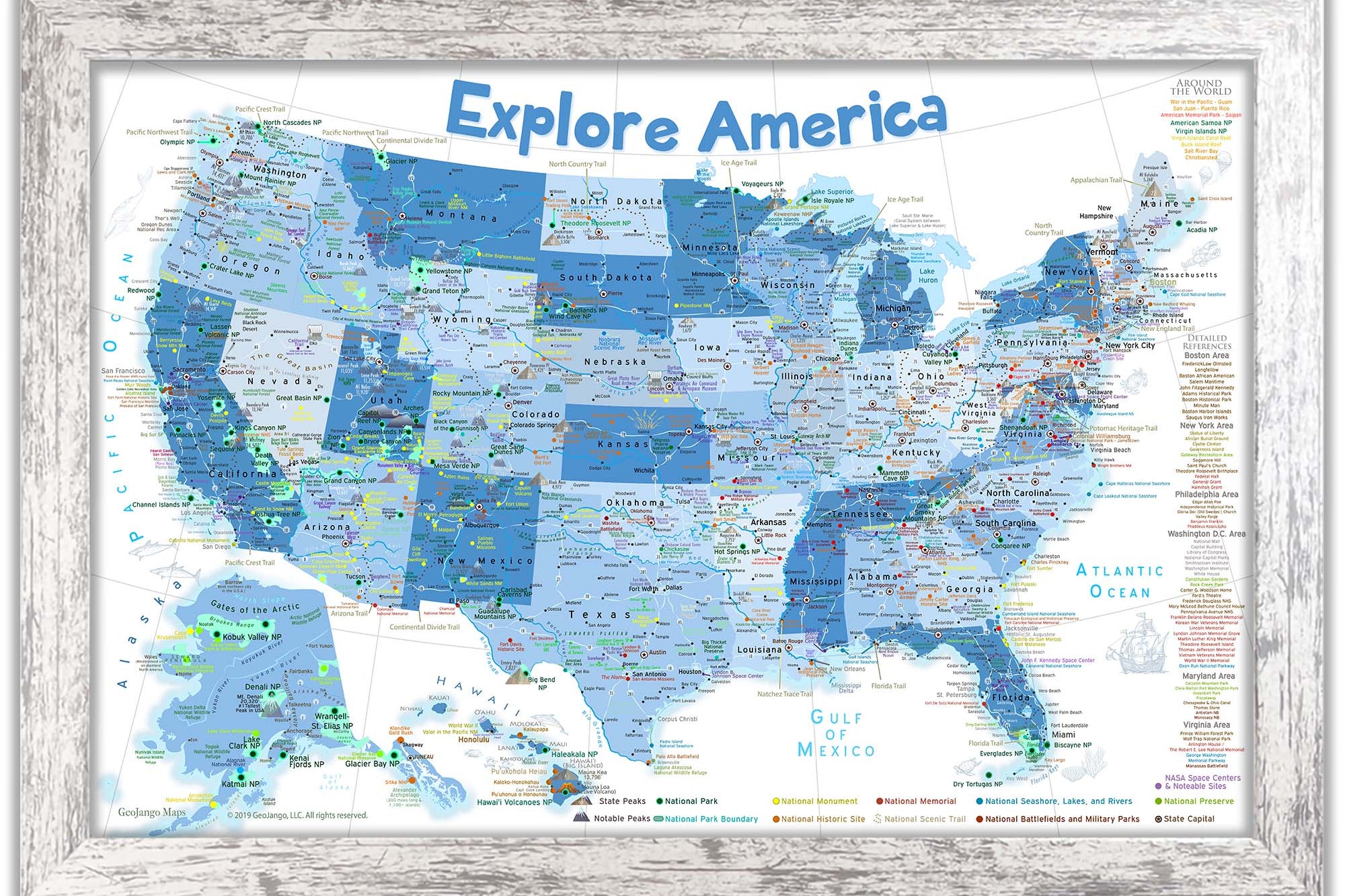
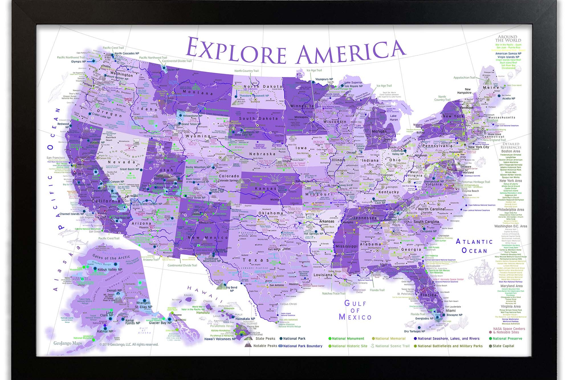
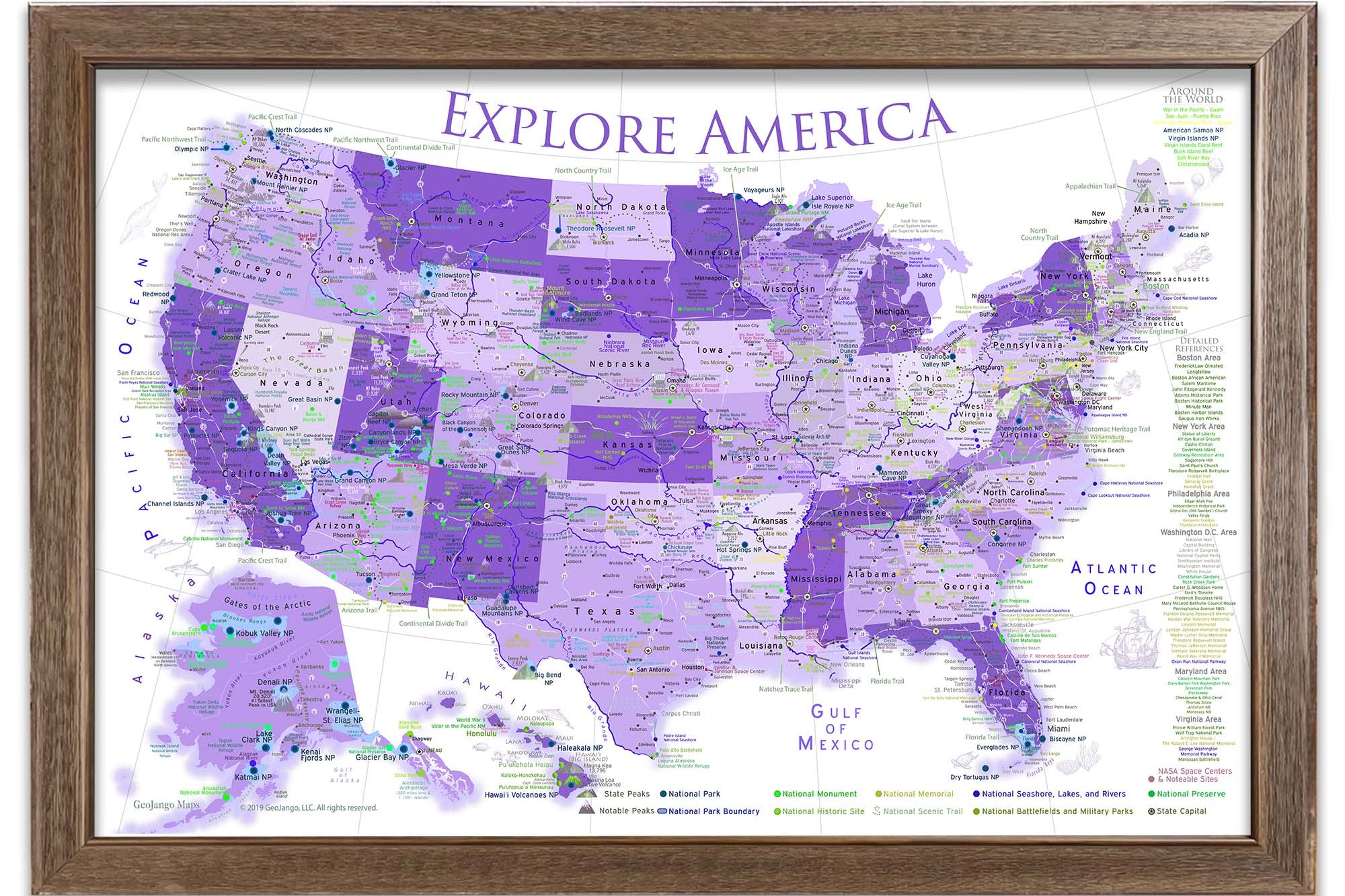
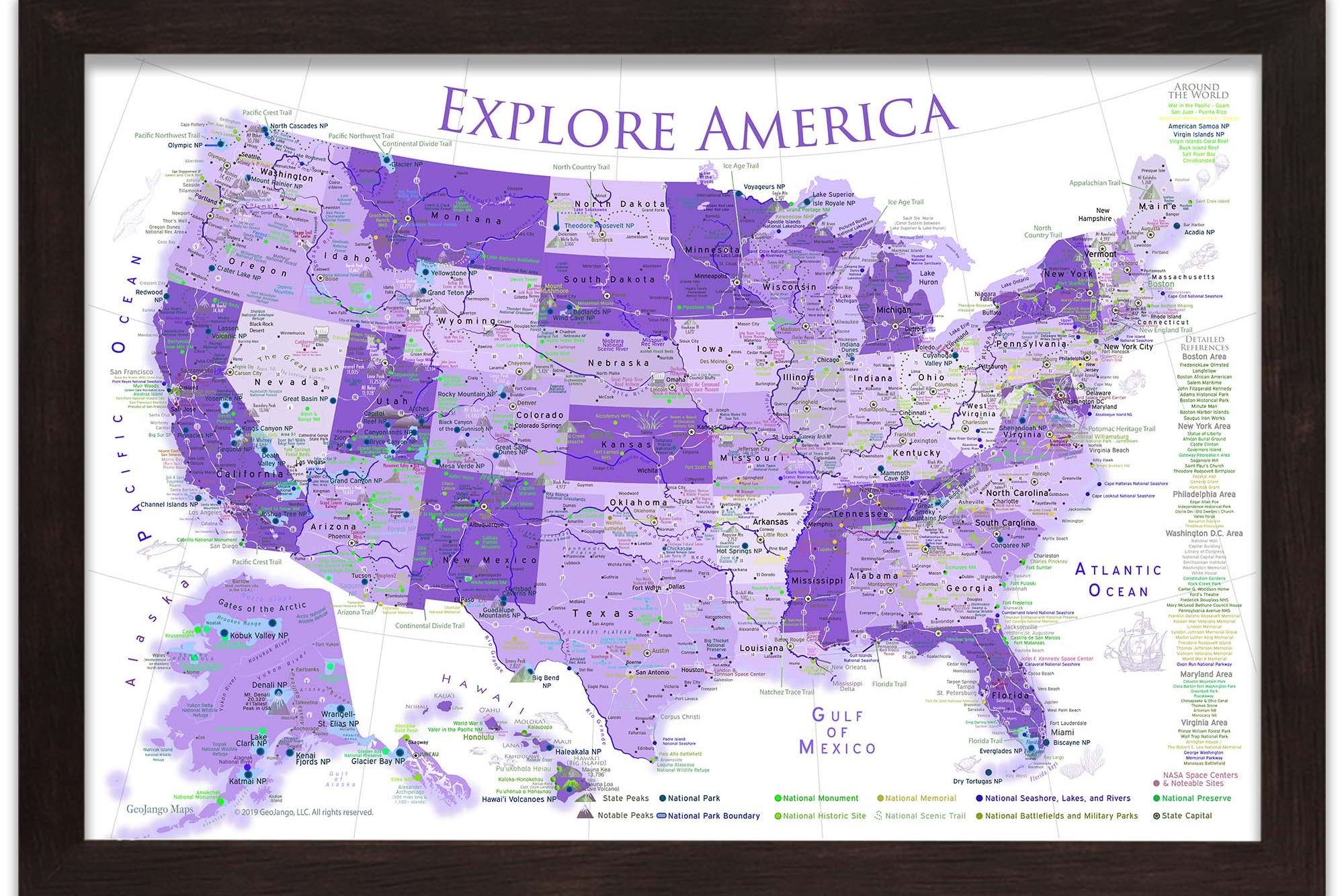
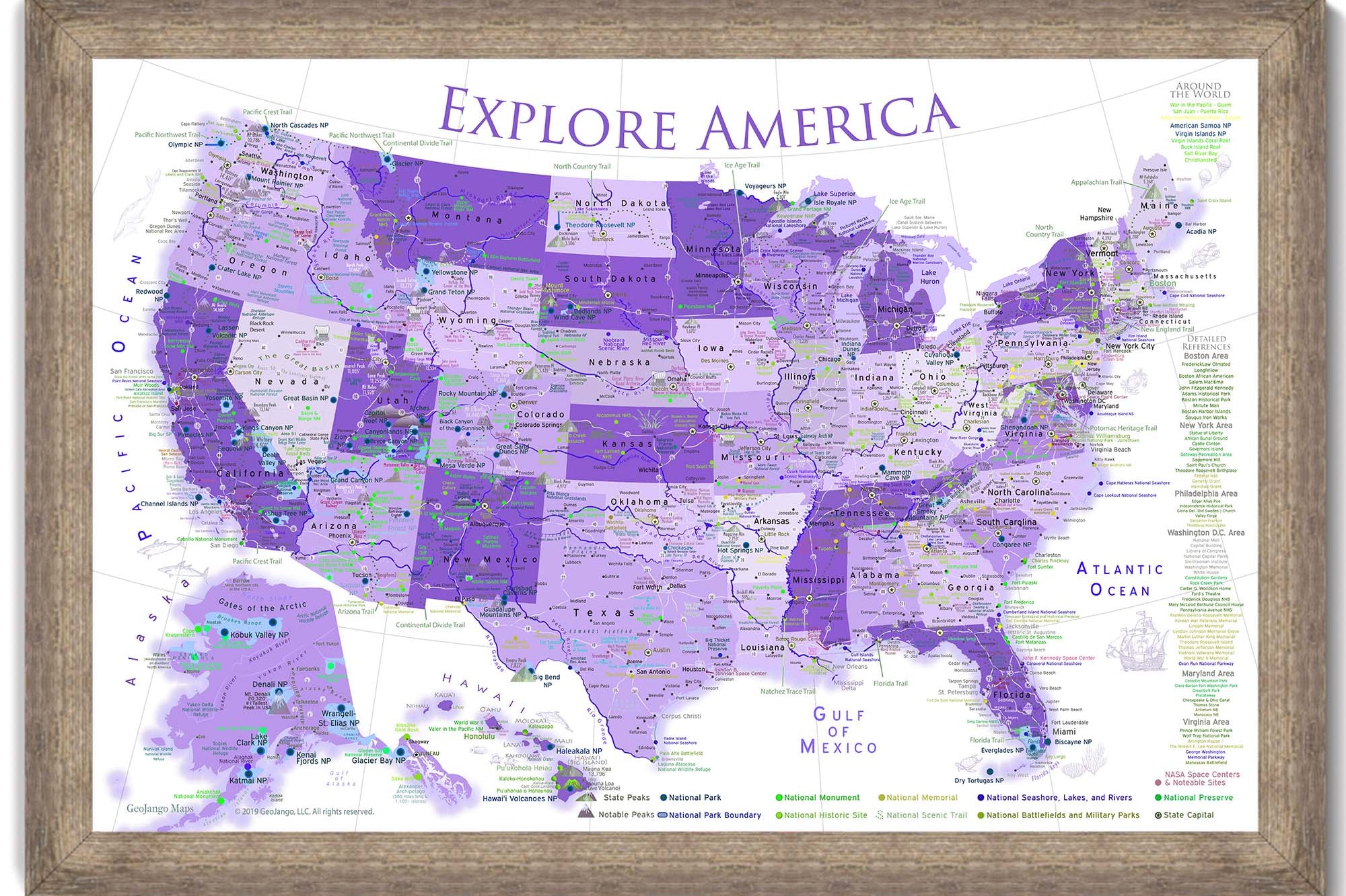
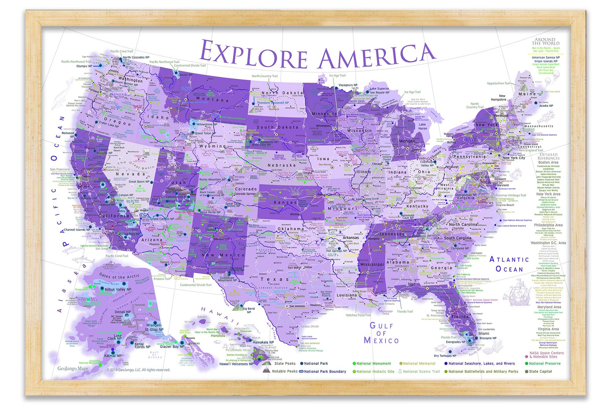
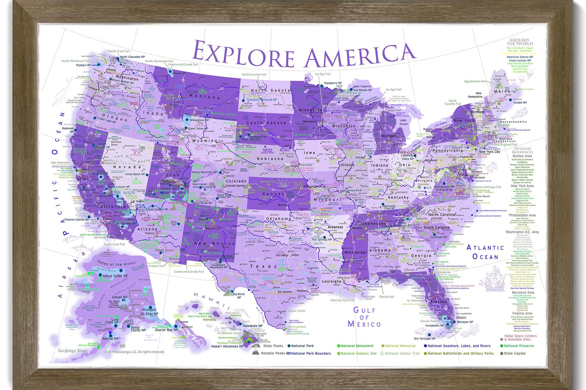
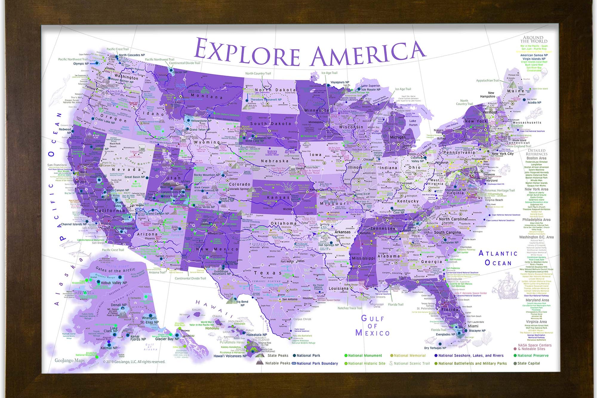
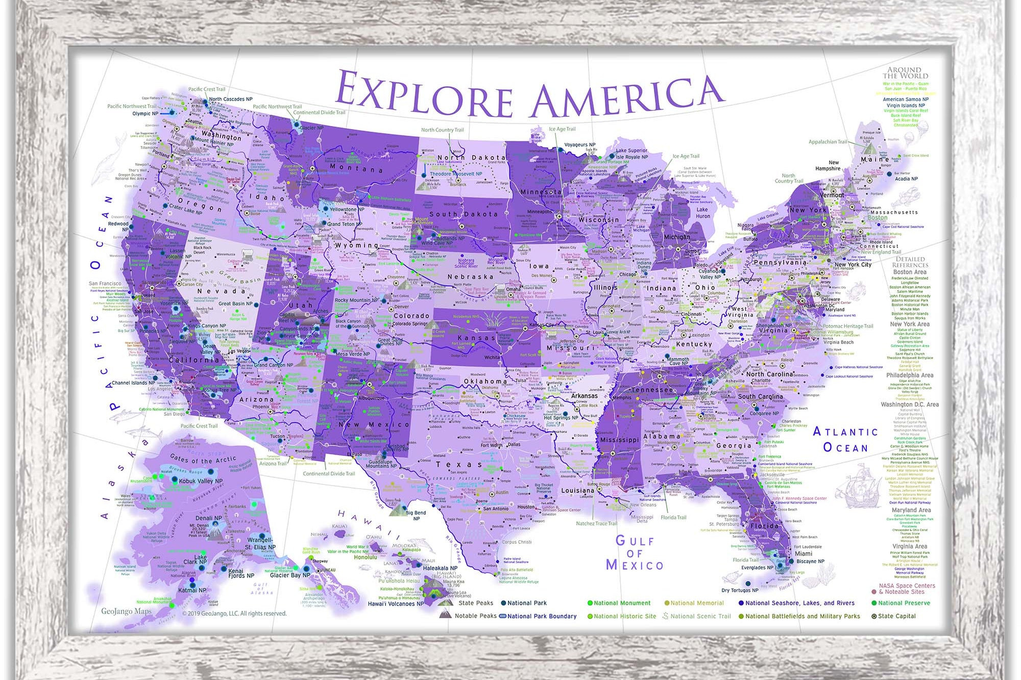
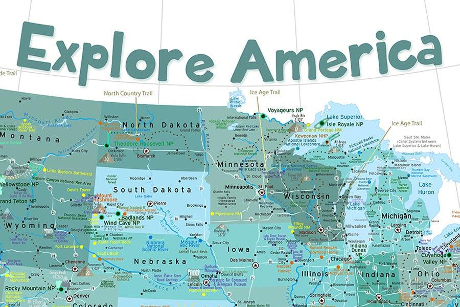
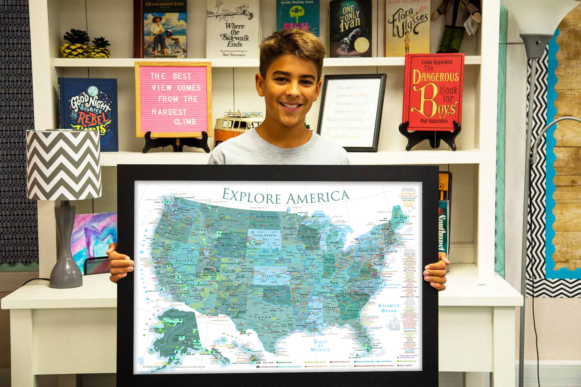
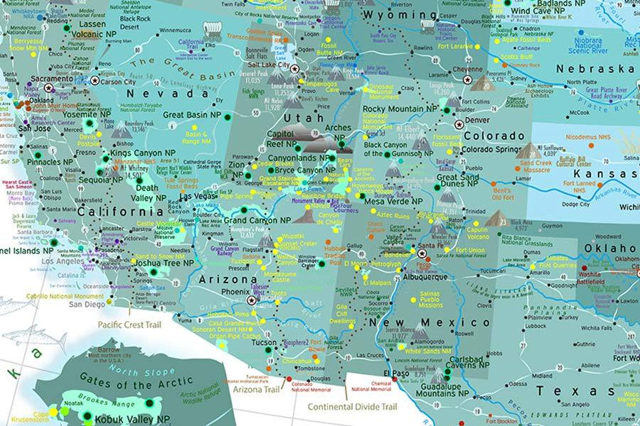
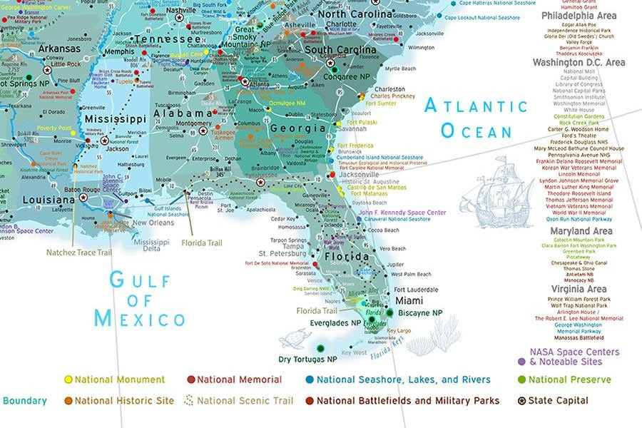
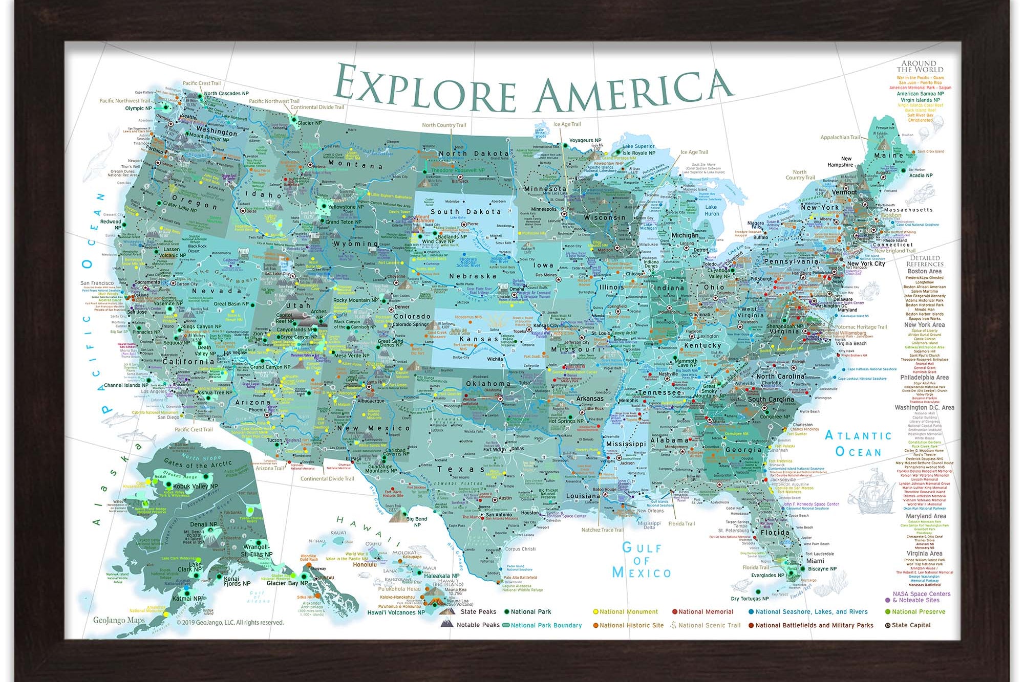
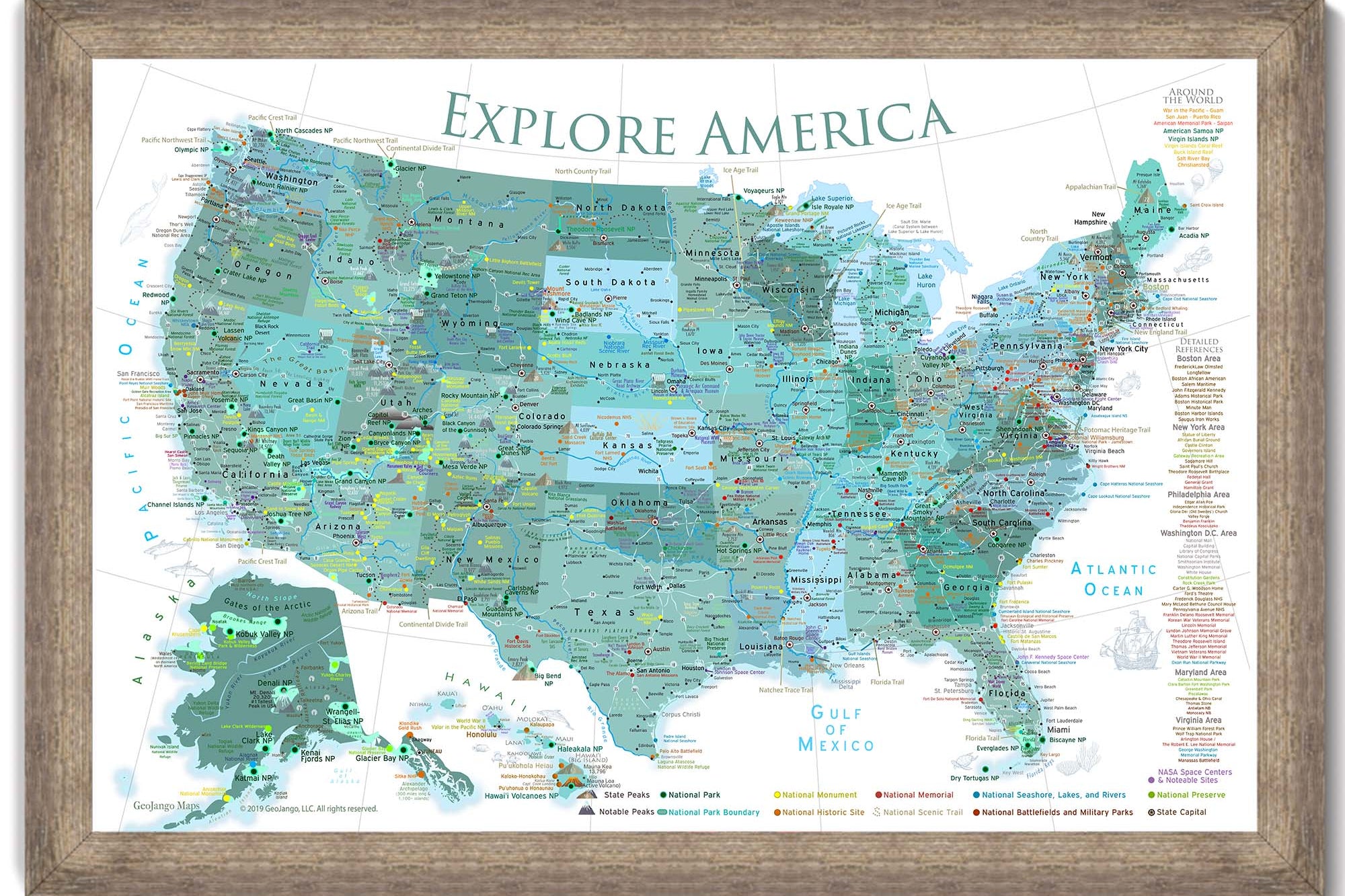
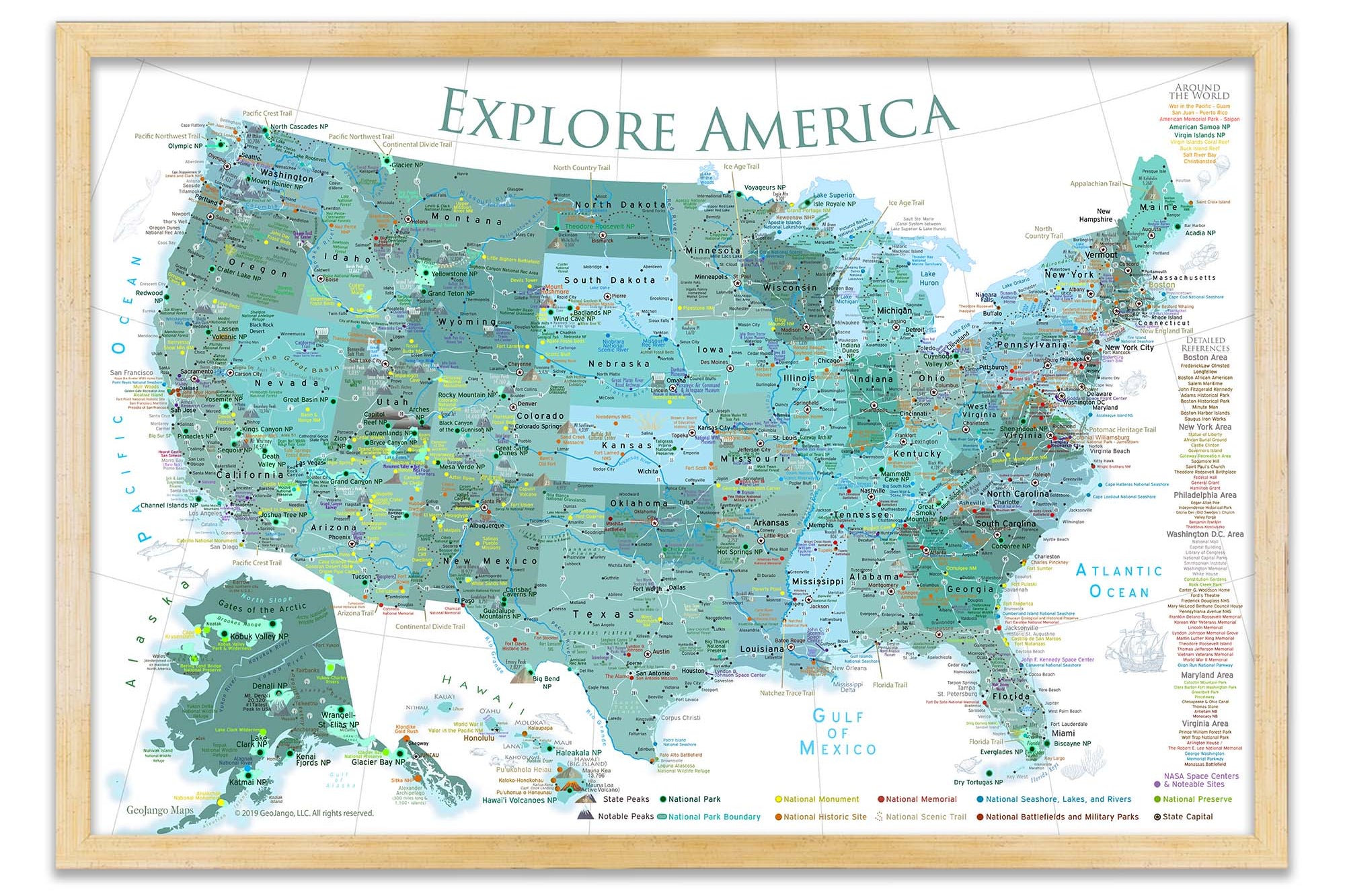
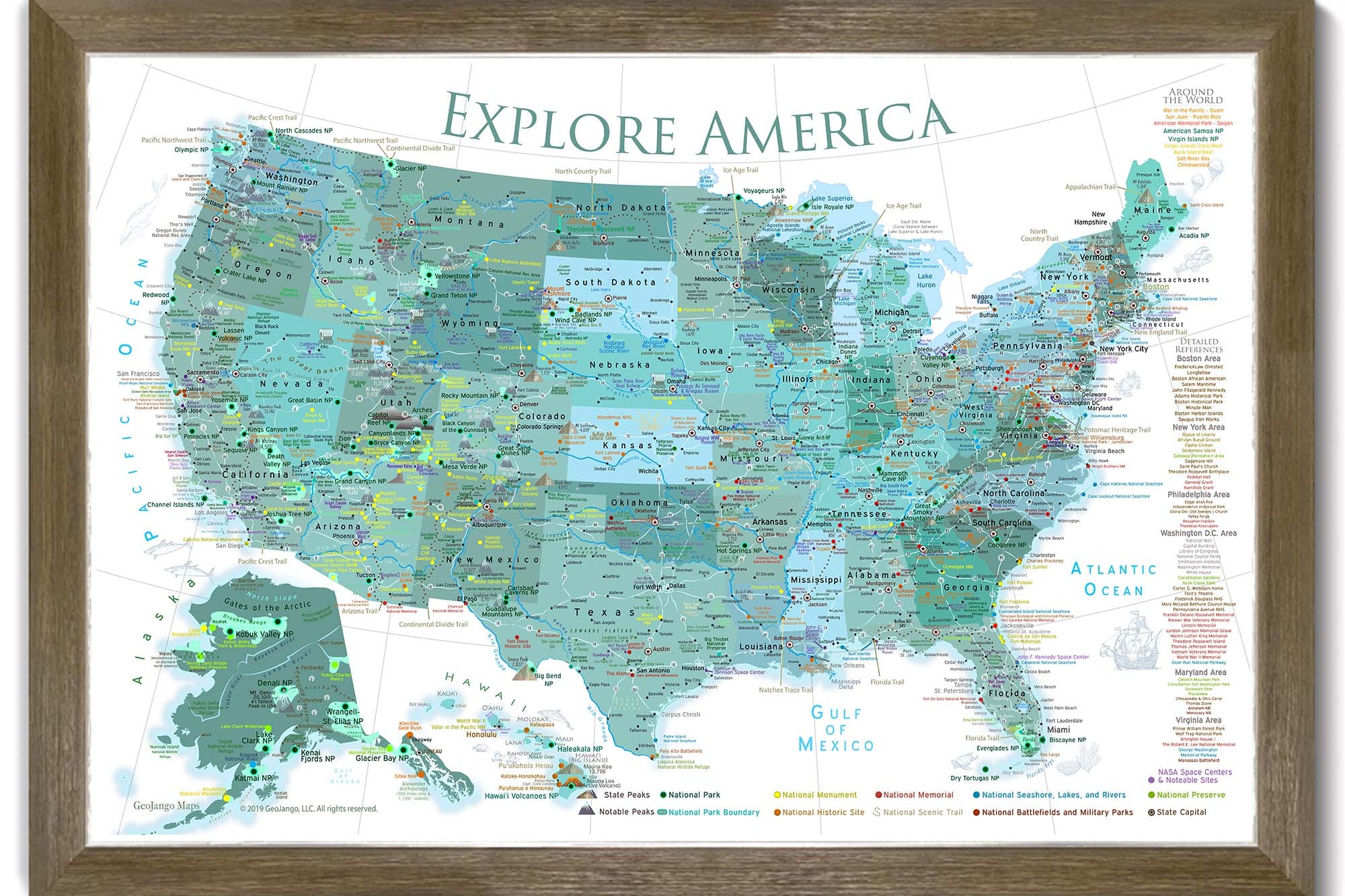
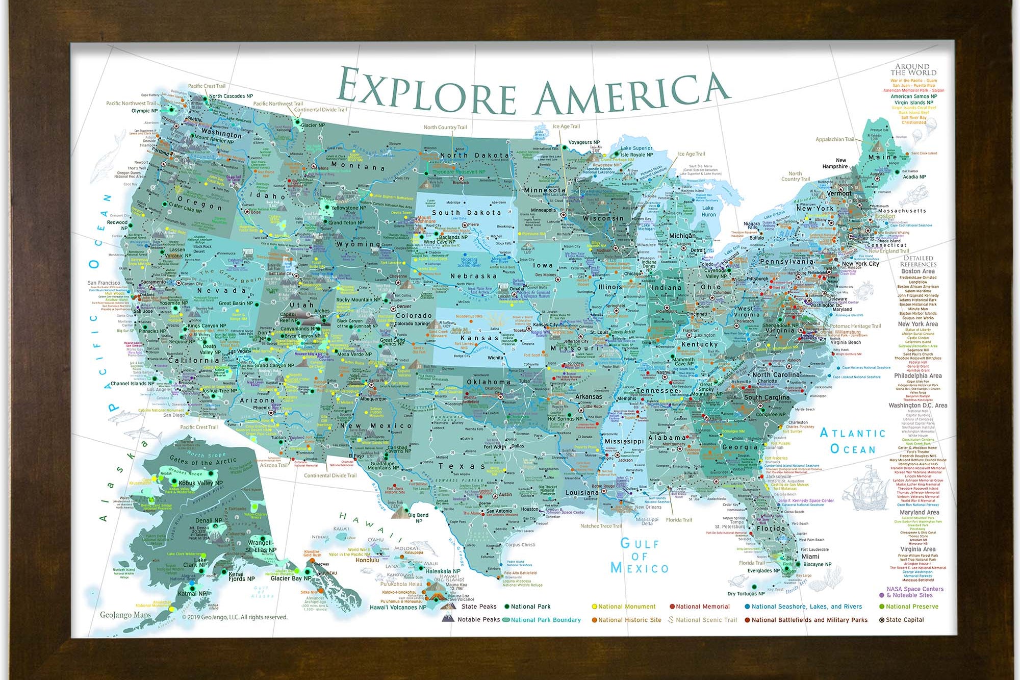
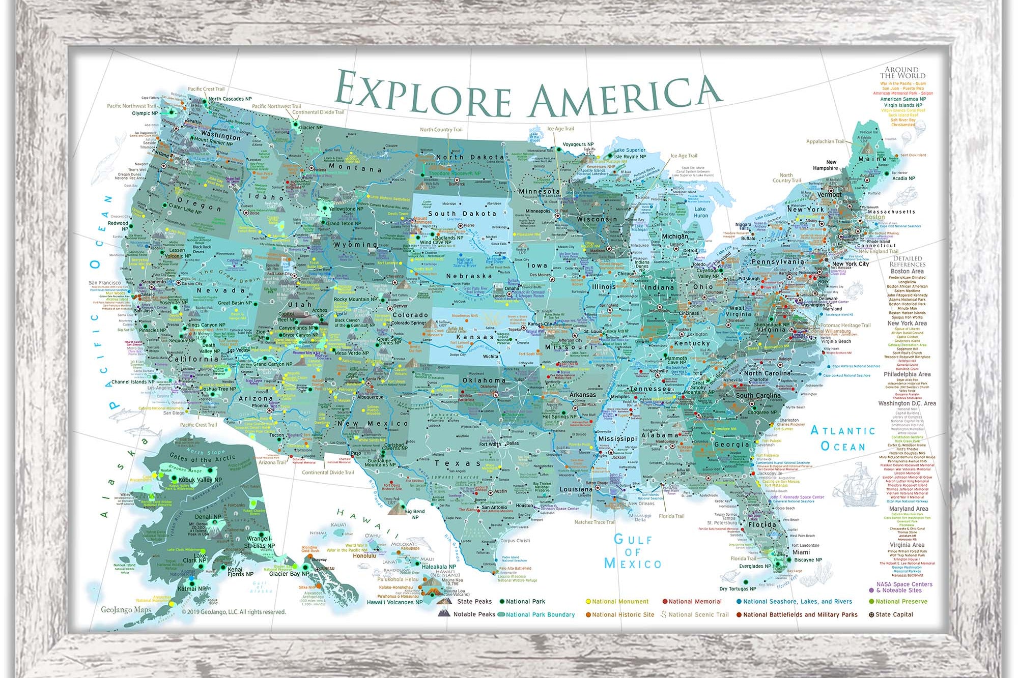
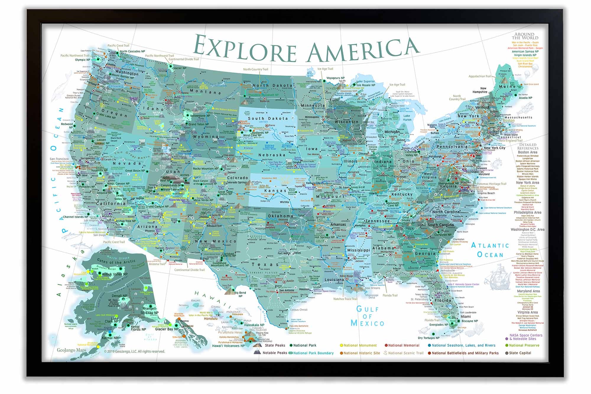
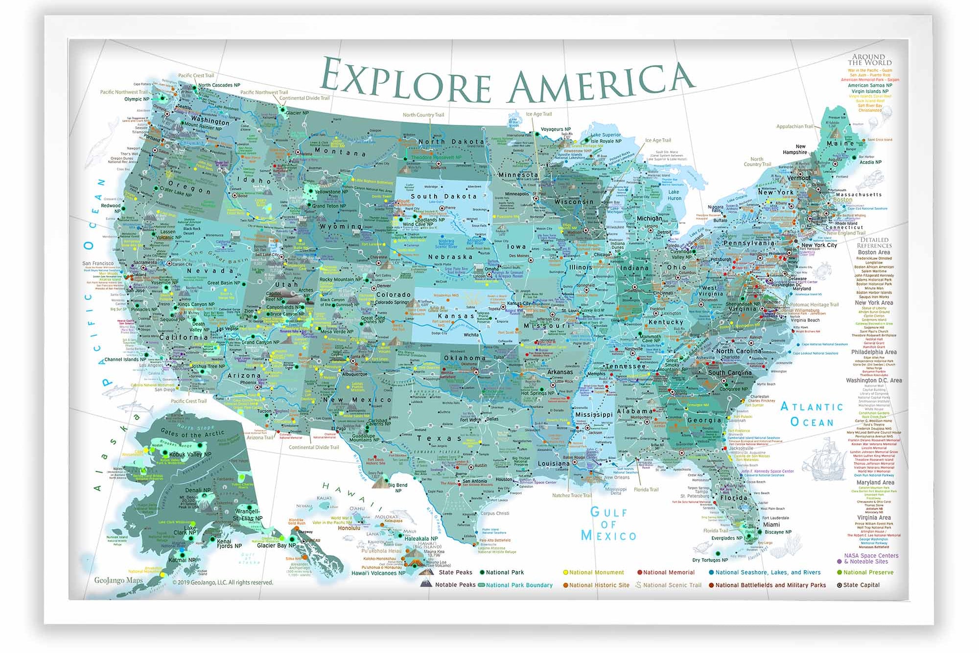
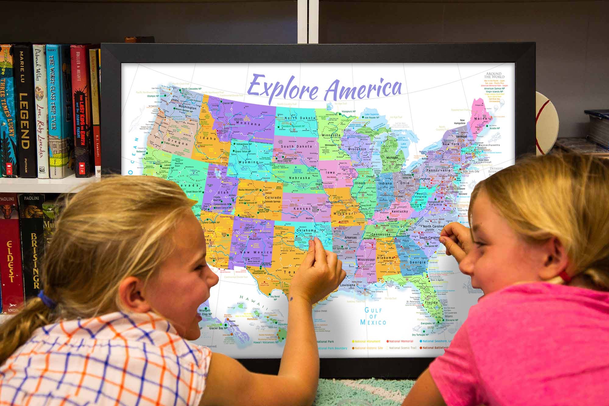
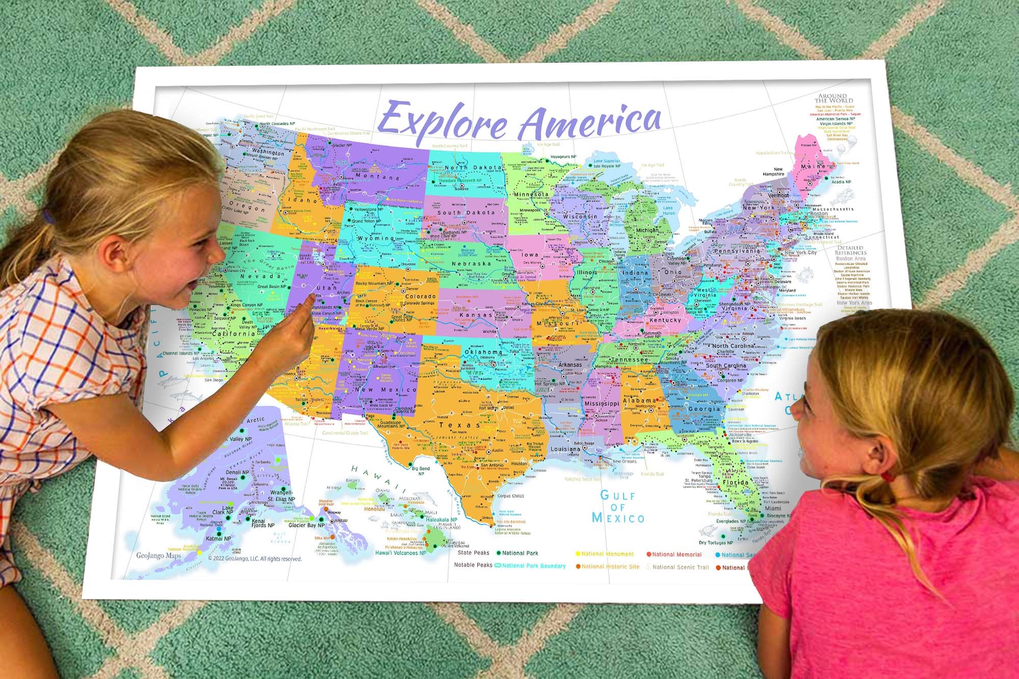
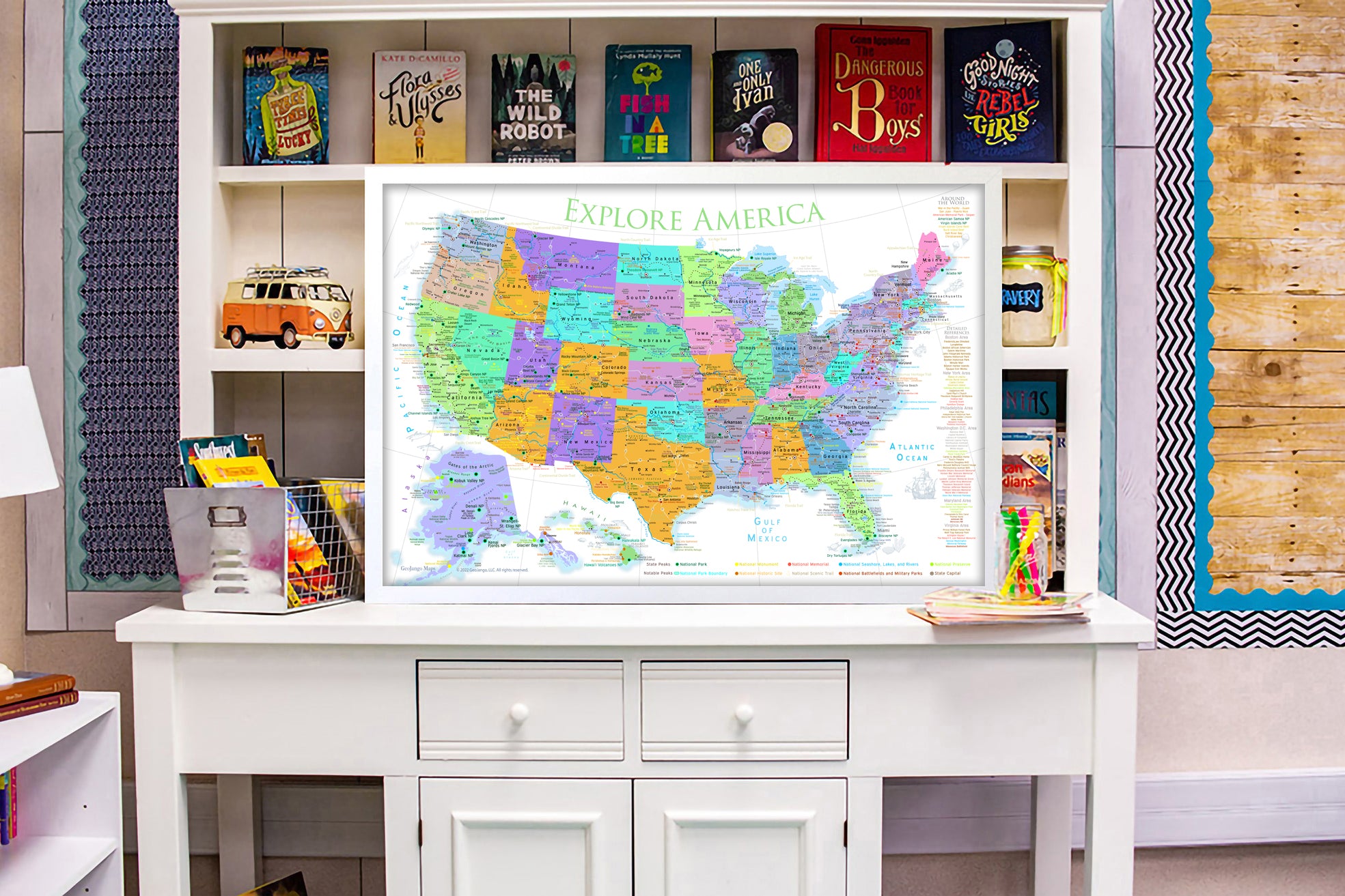
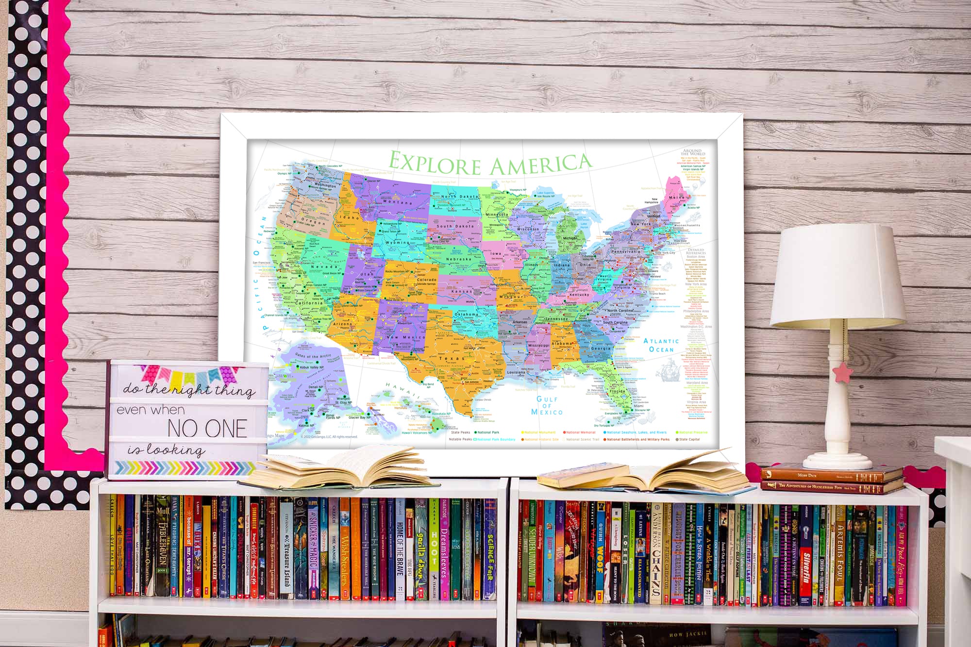
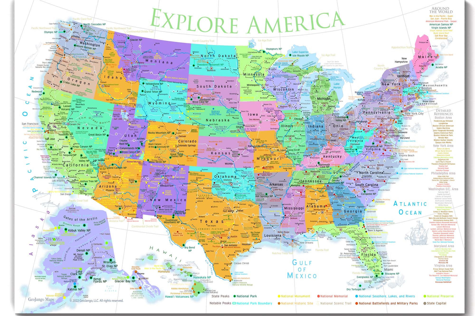
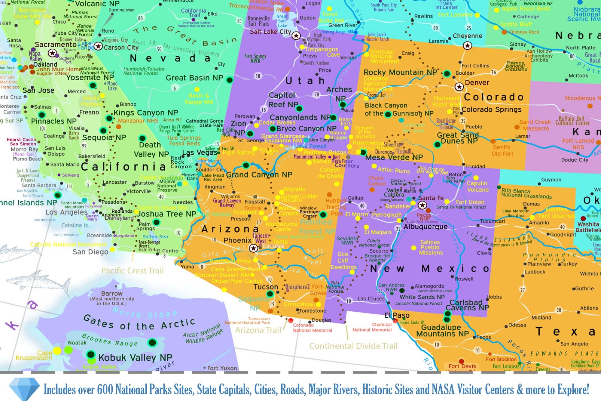
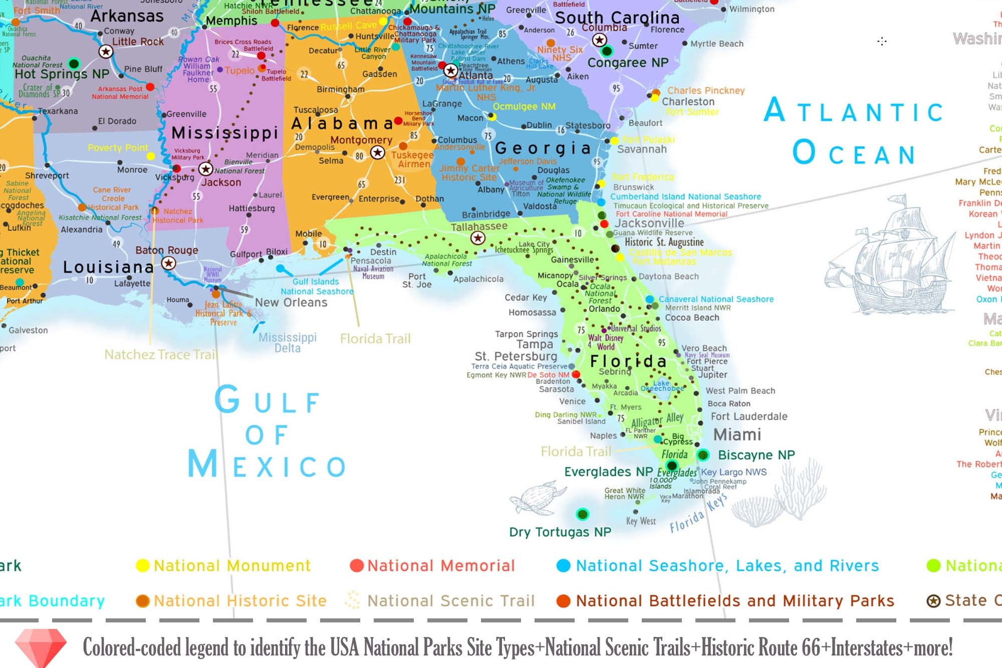
Our USA Adventure Map Bundle features a large USA map made of durable fabric, a fun activity book, and 51 activity cards along with game instructions. Children can seek and find historical landmarks and state symbols in the map while learning about geography, USA states, and more!

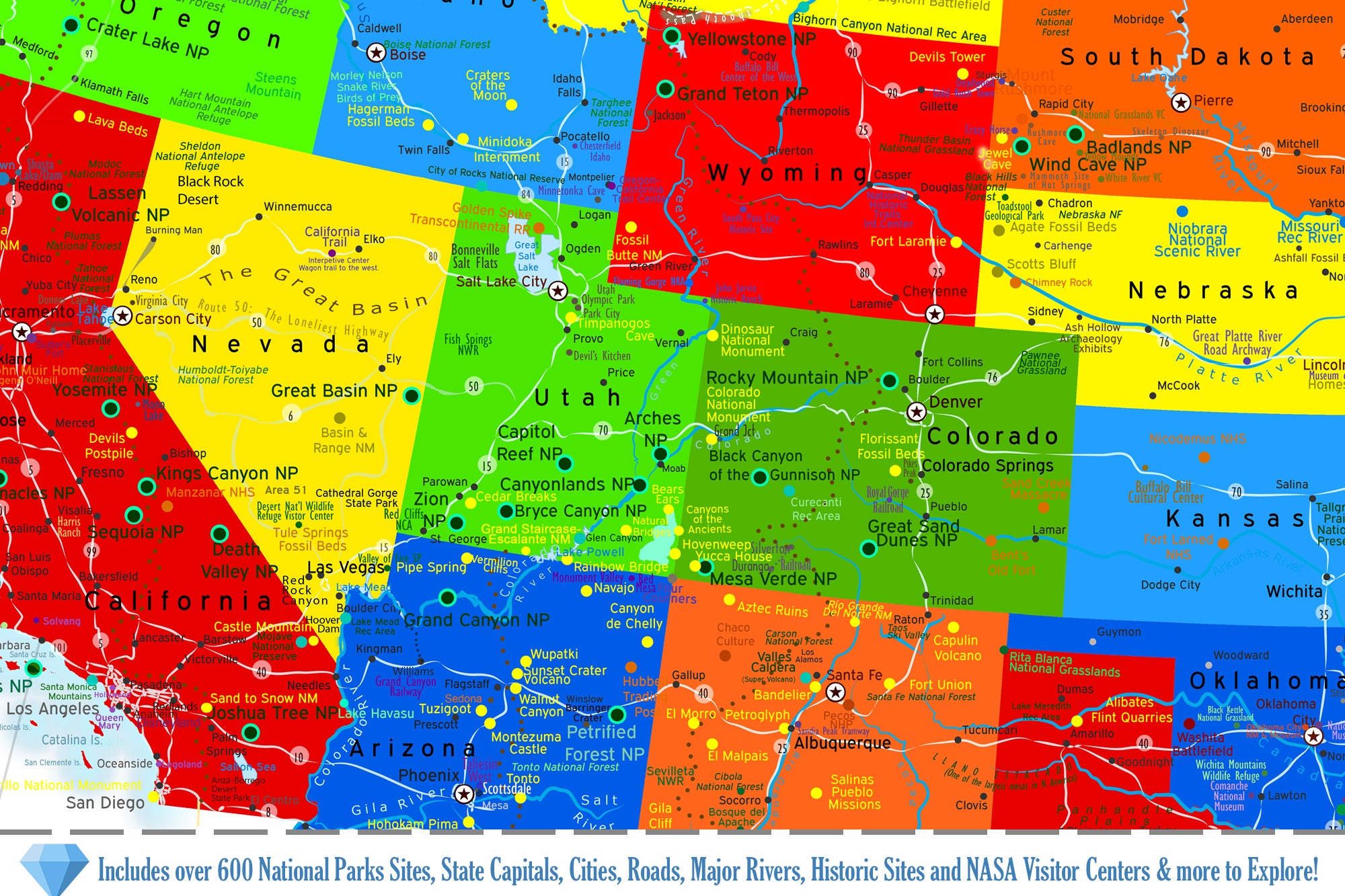
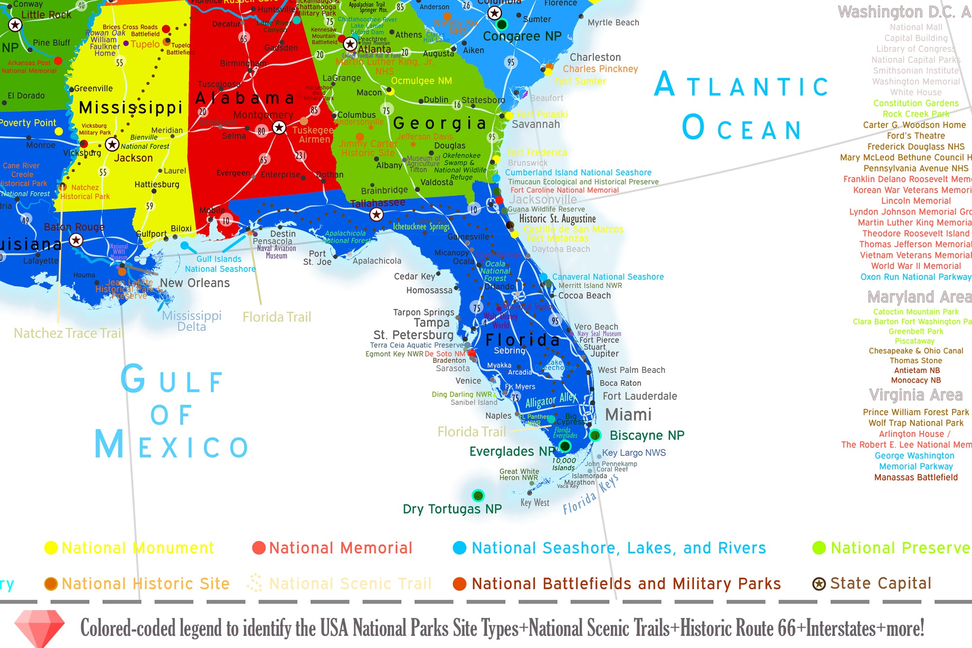
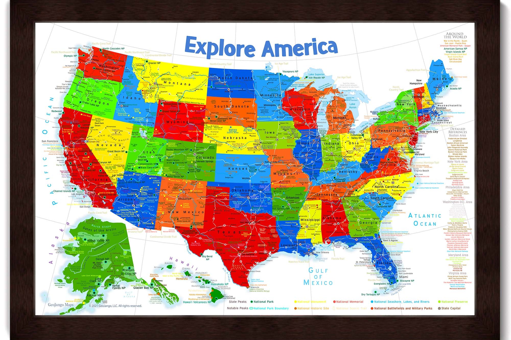
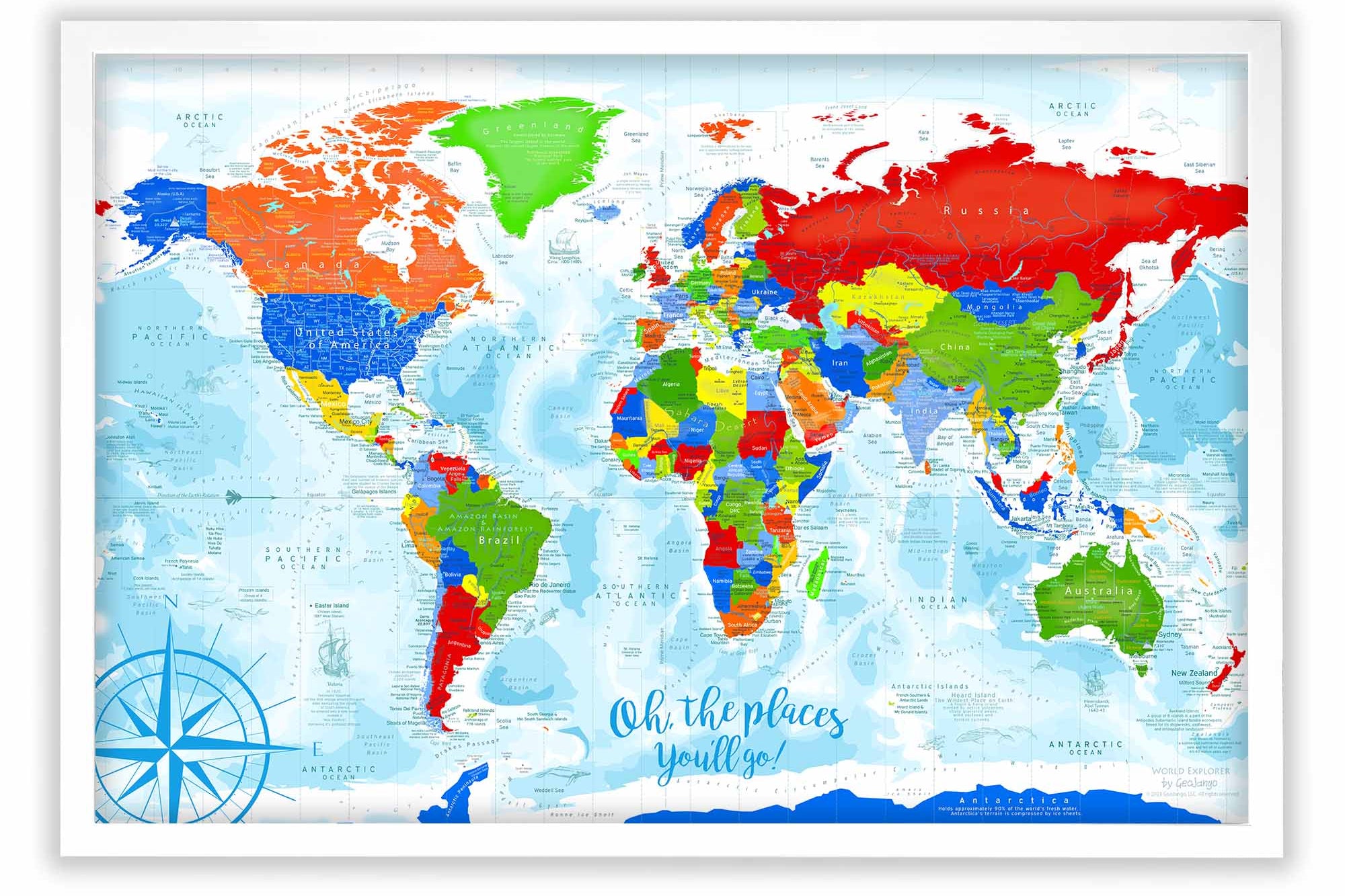
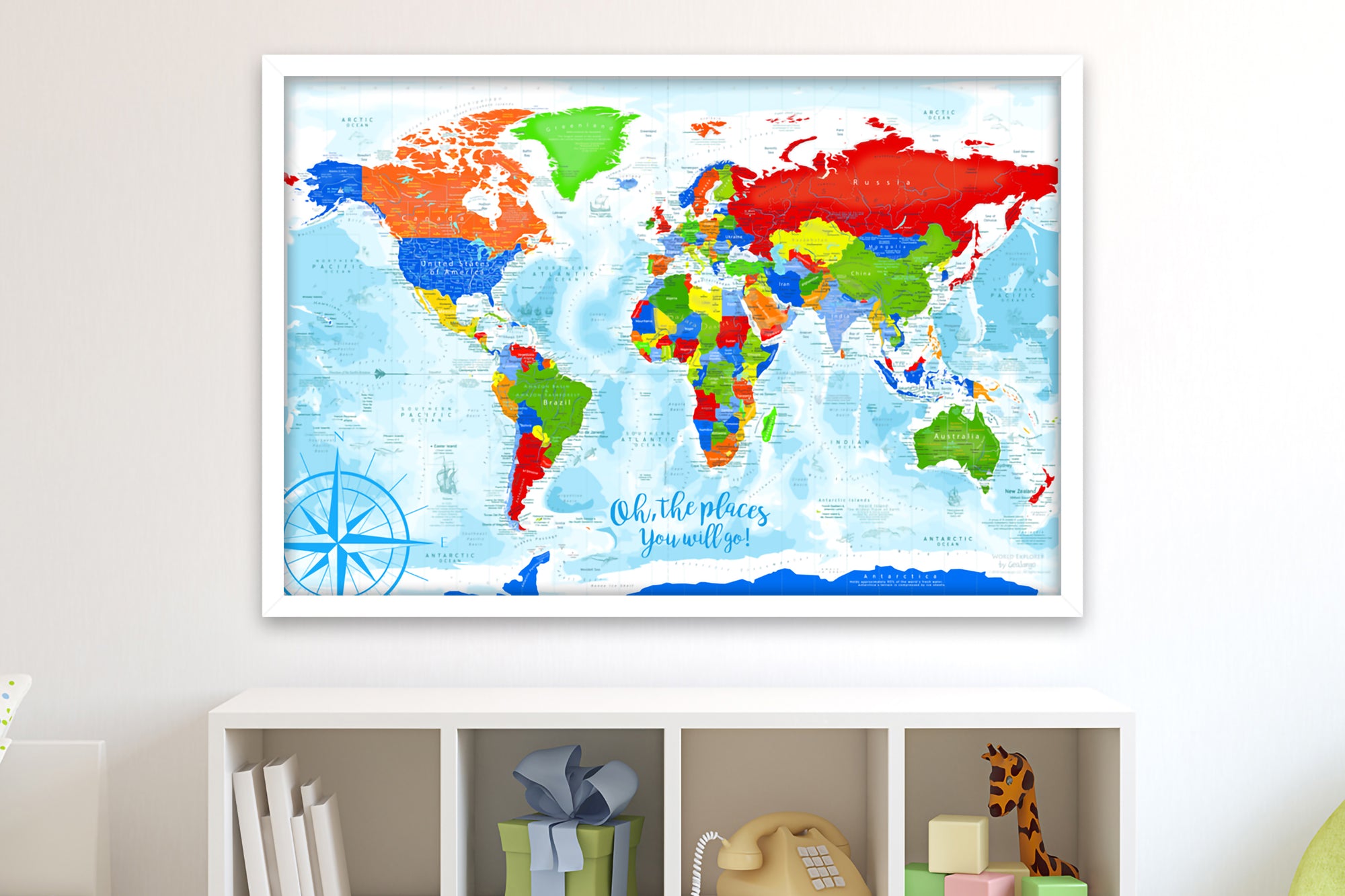
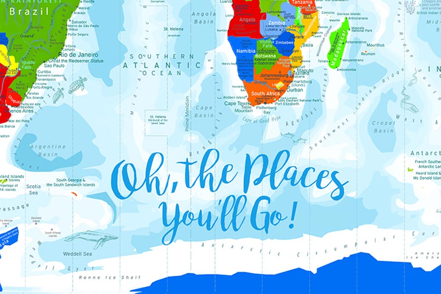
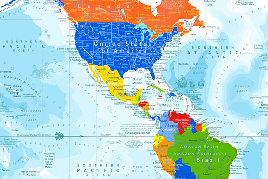
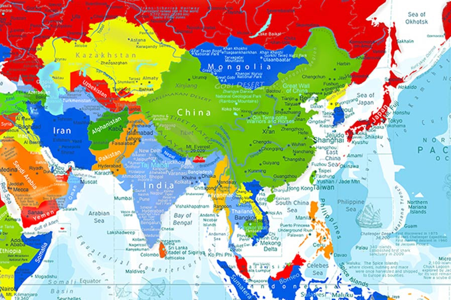
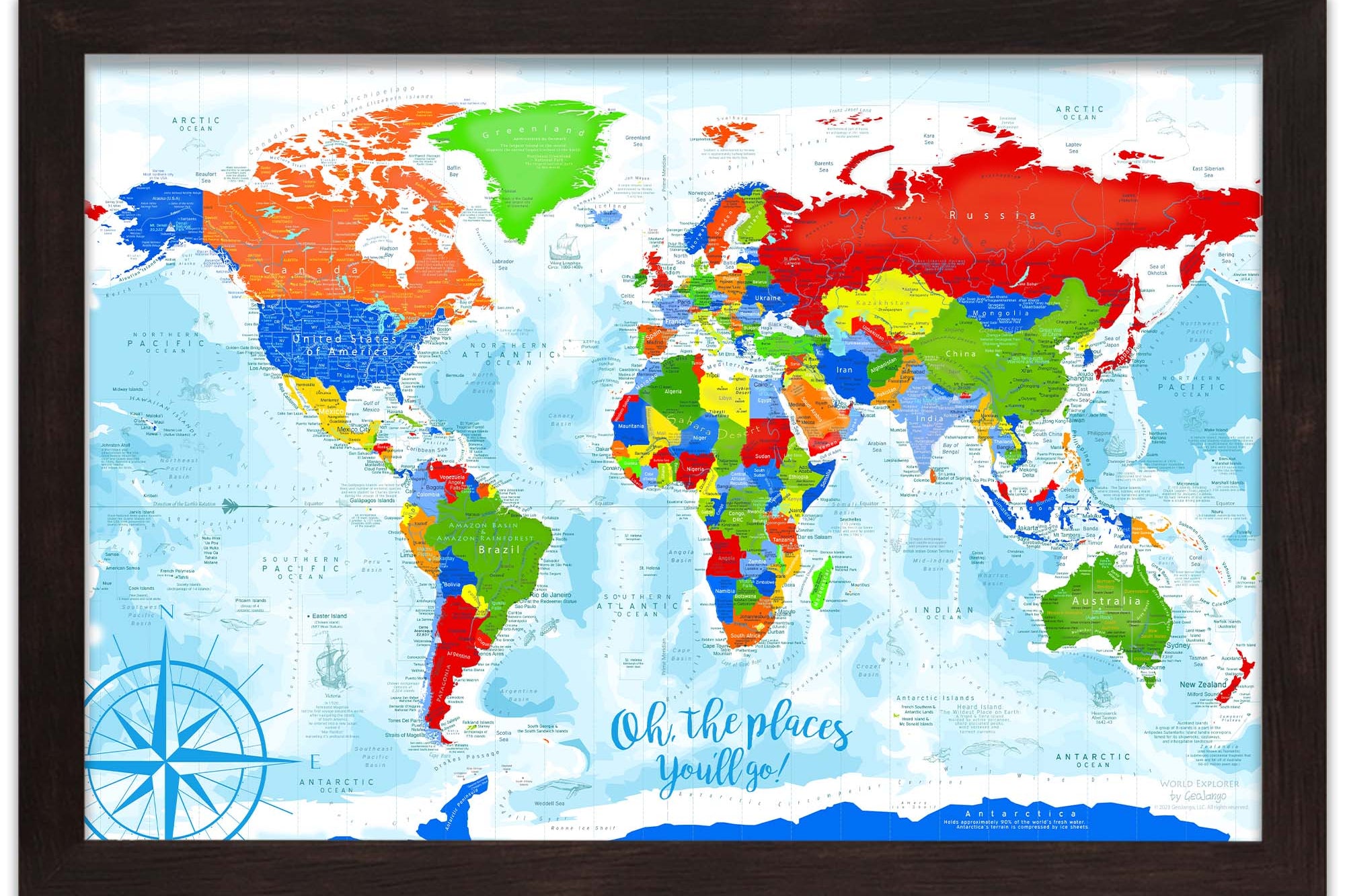
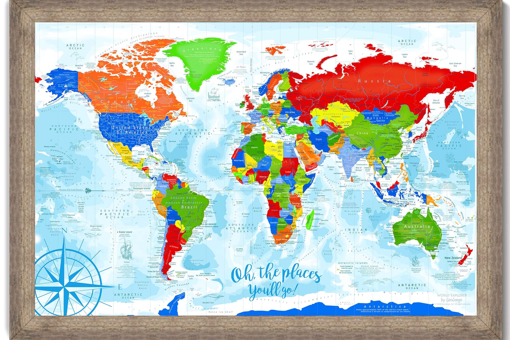
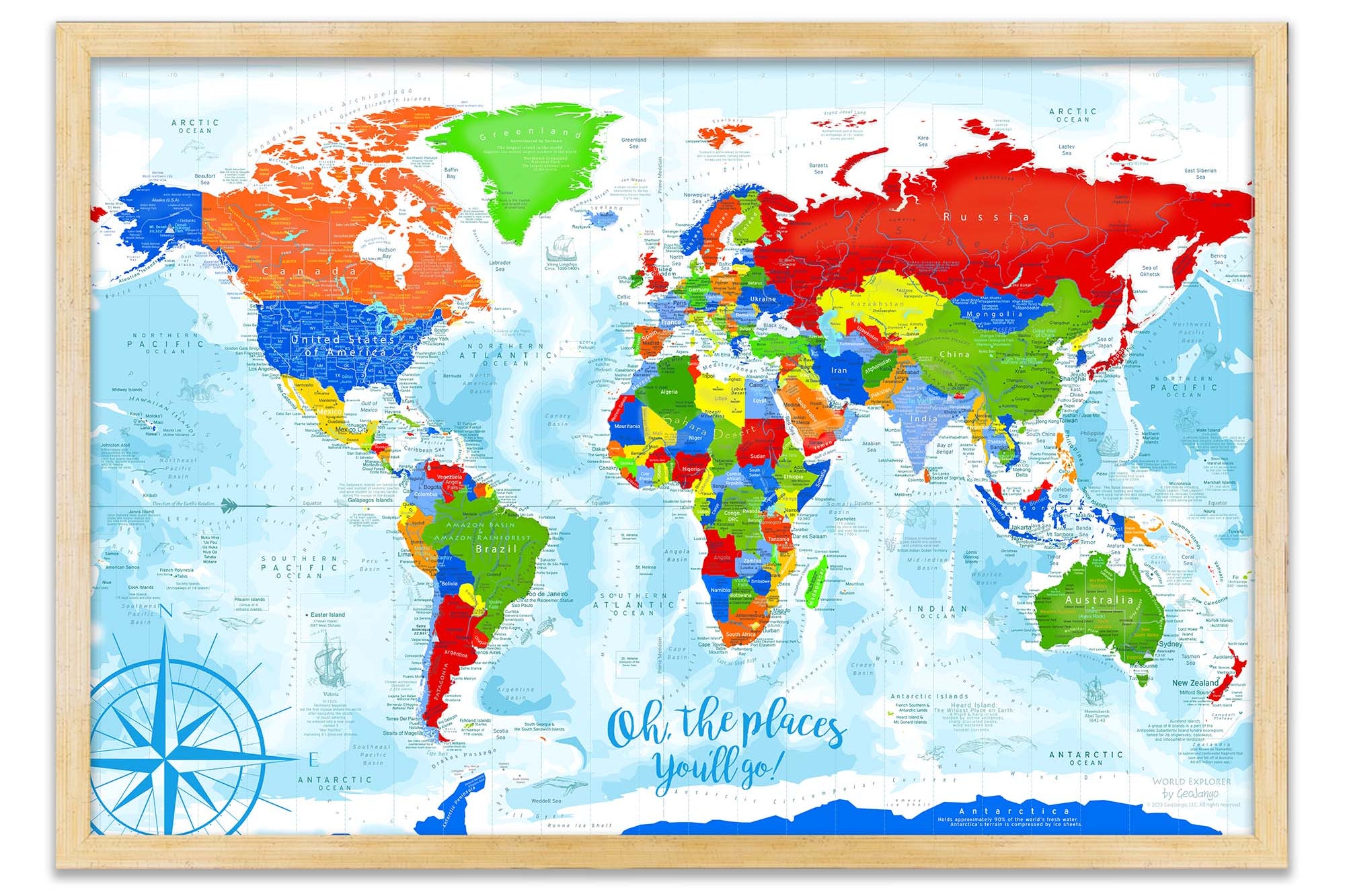
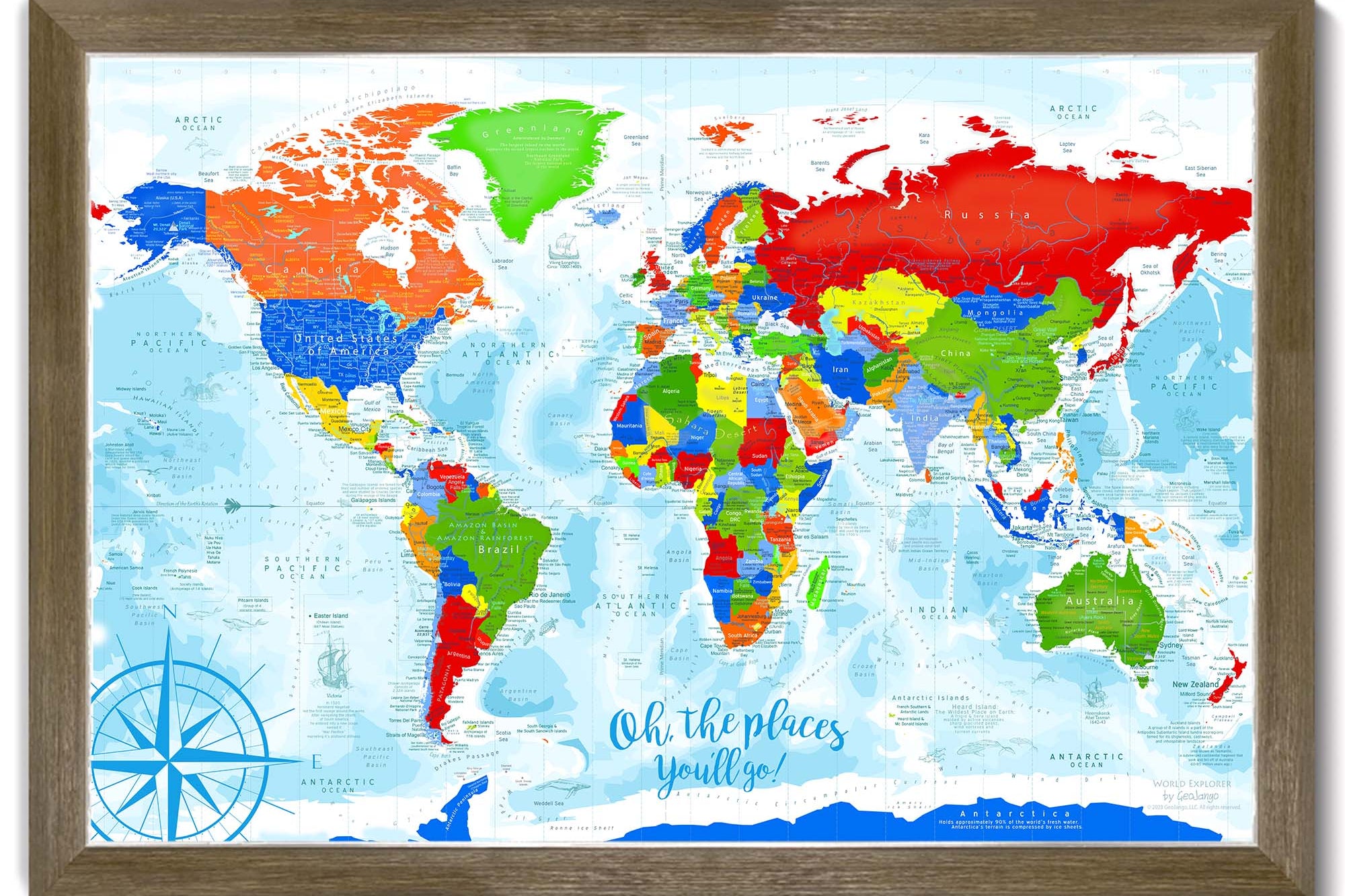
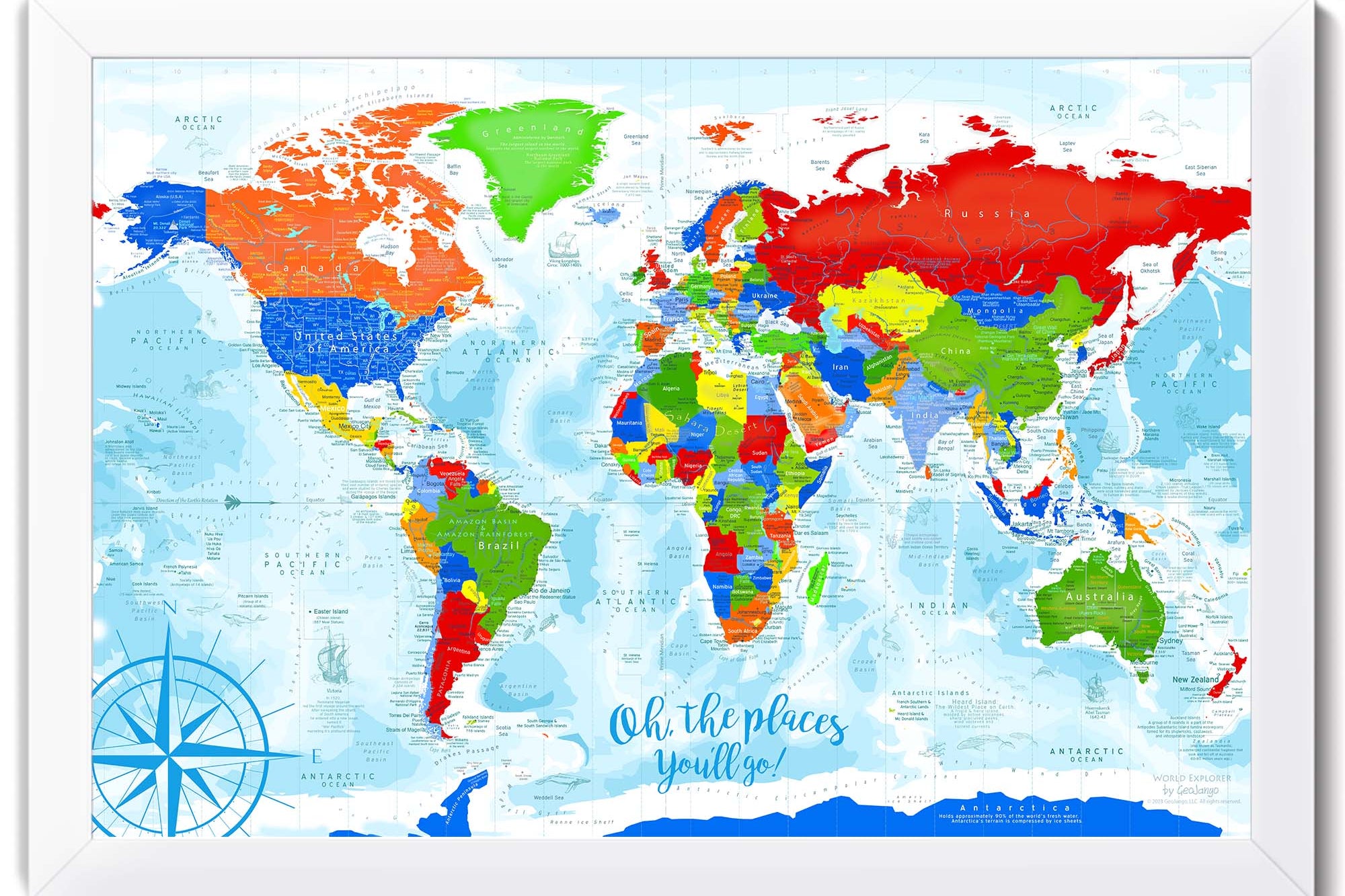
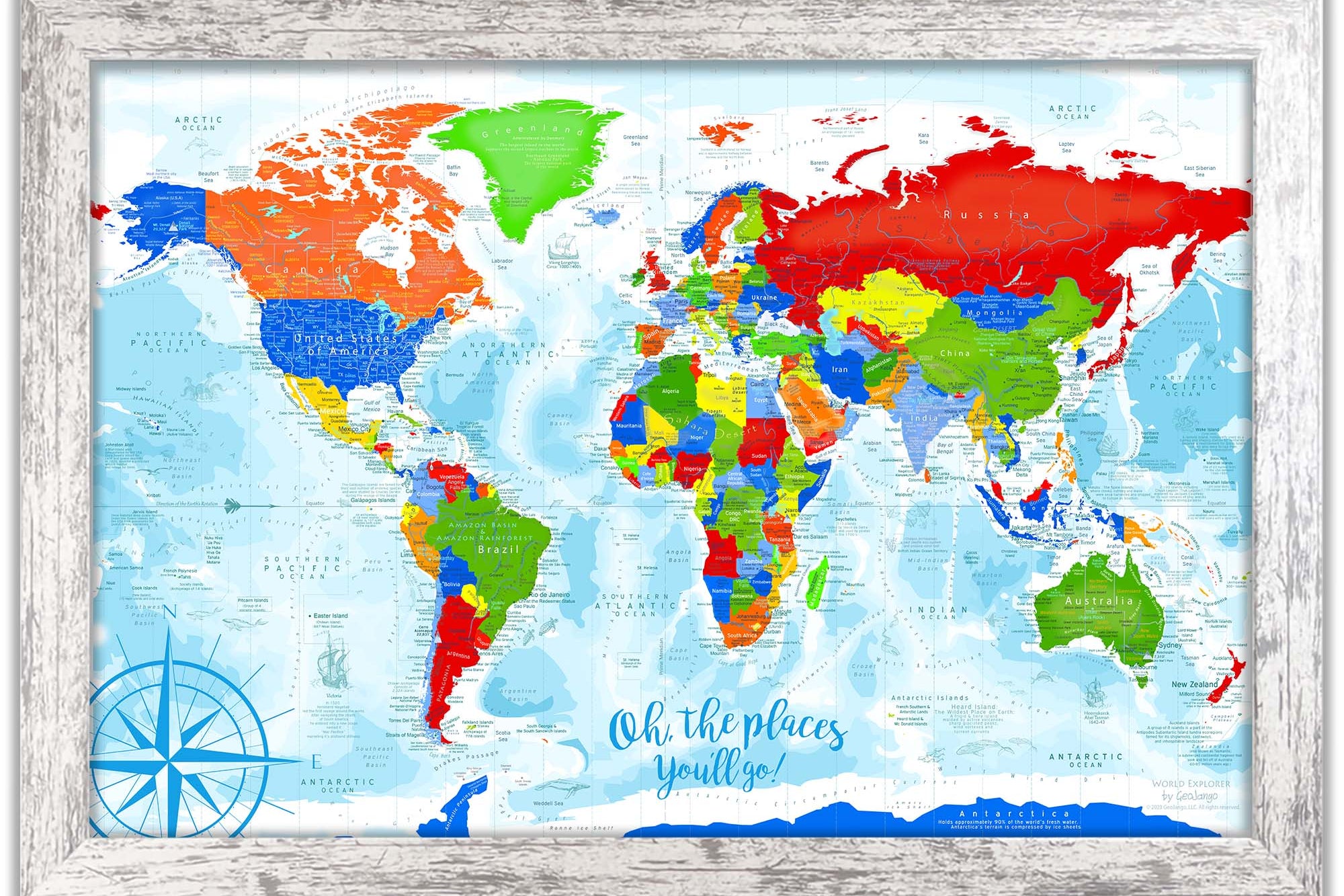
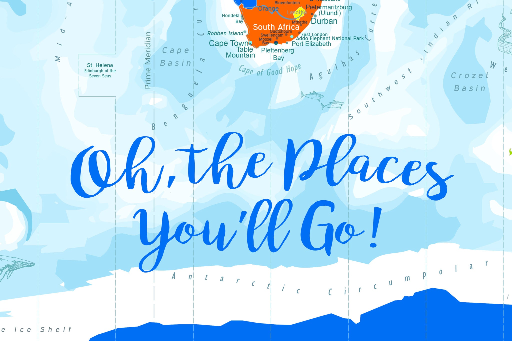
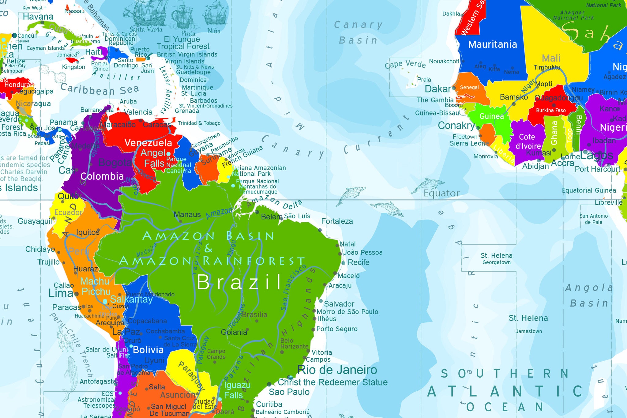
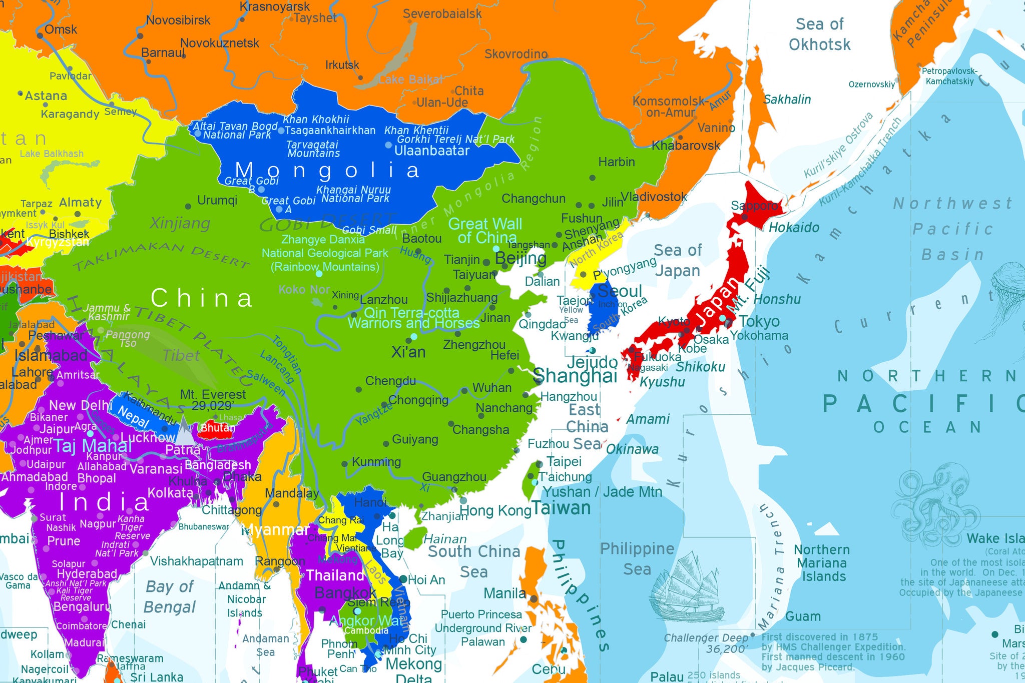
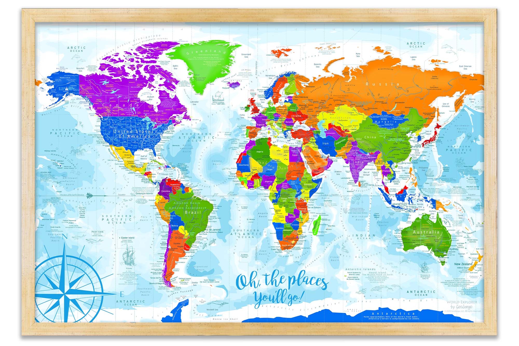
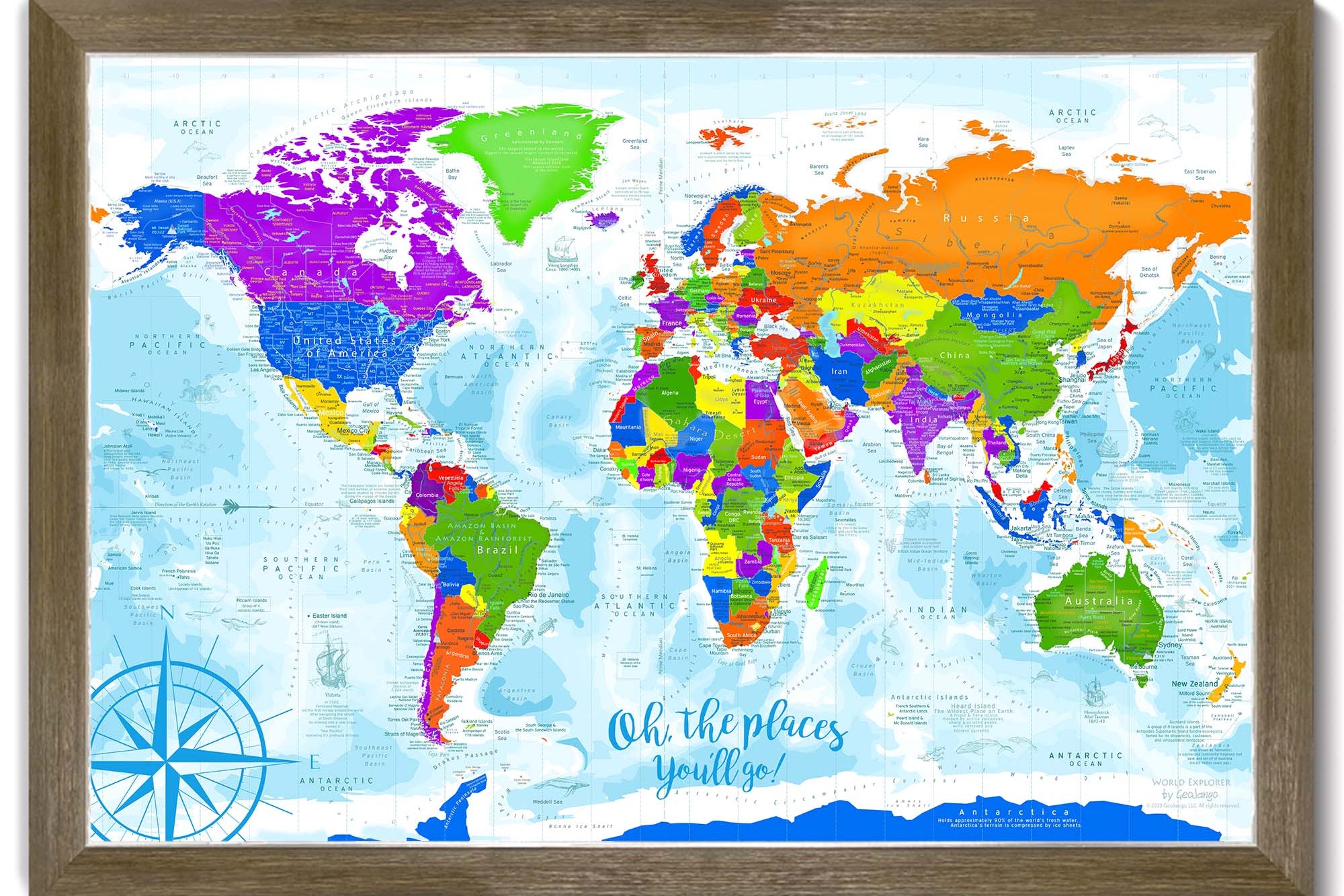
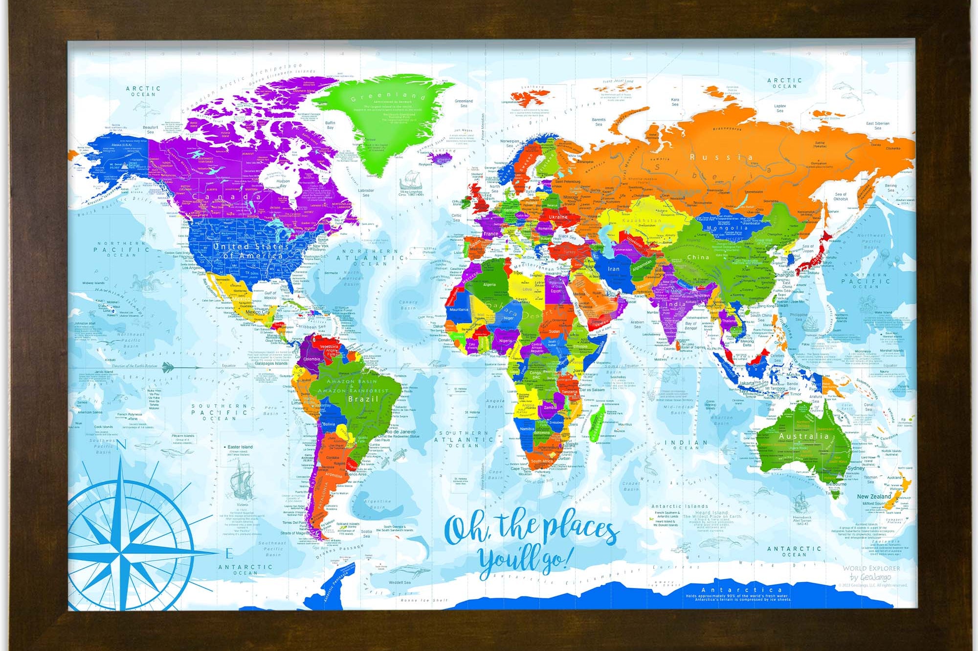
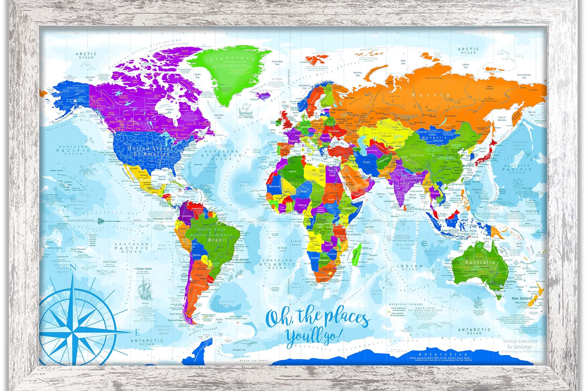
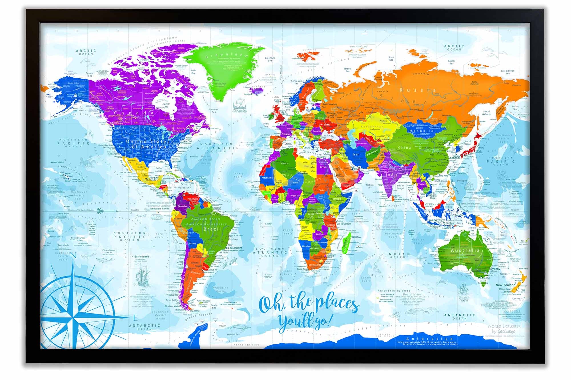
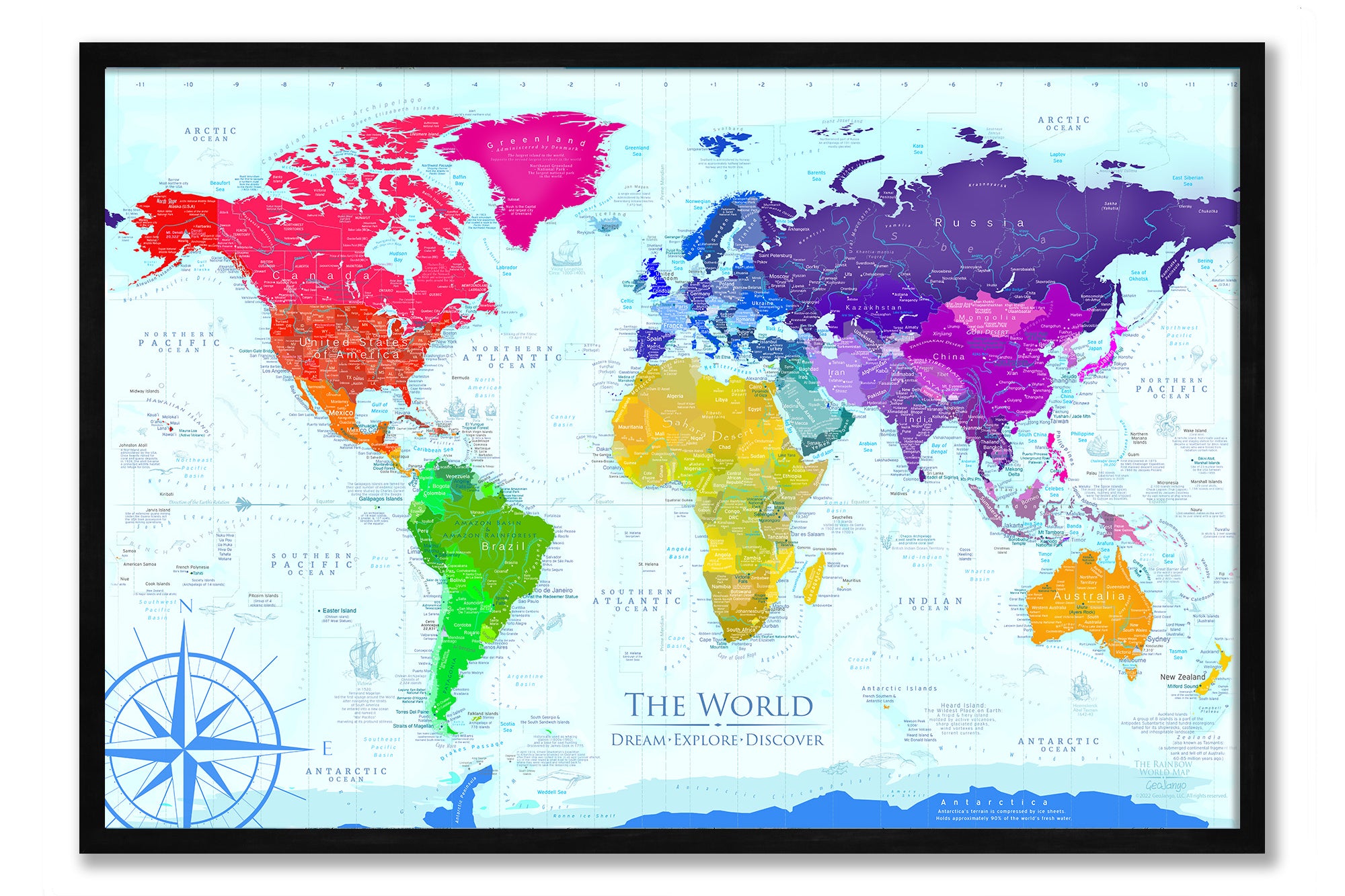
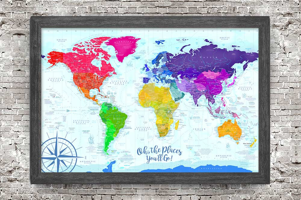
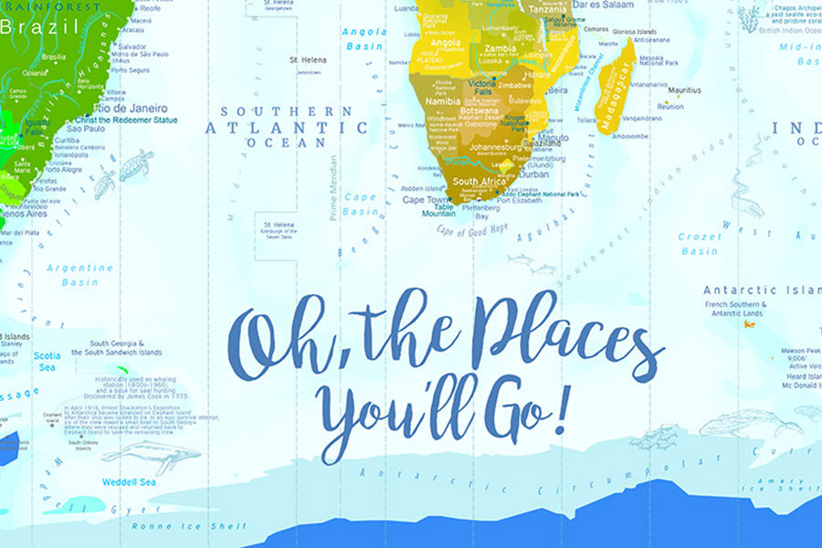
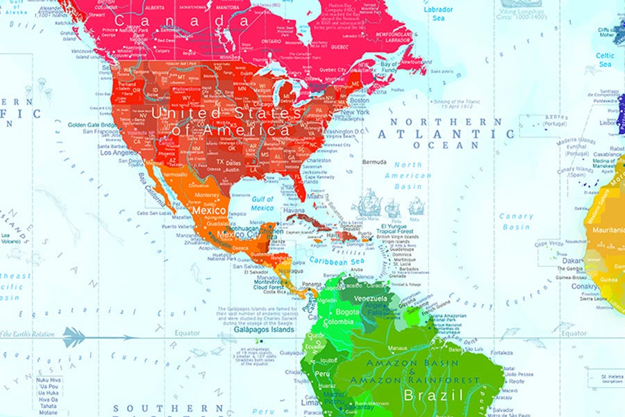
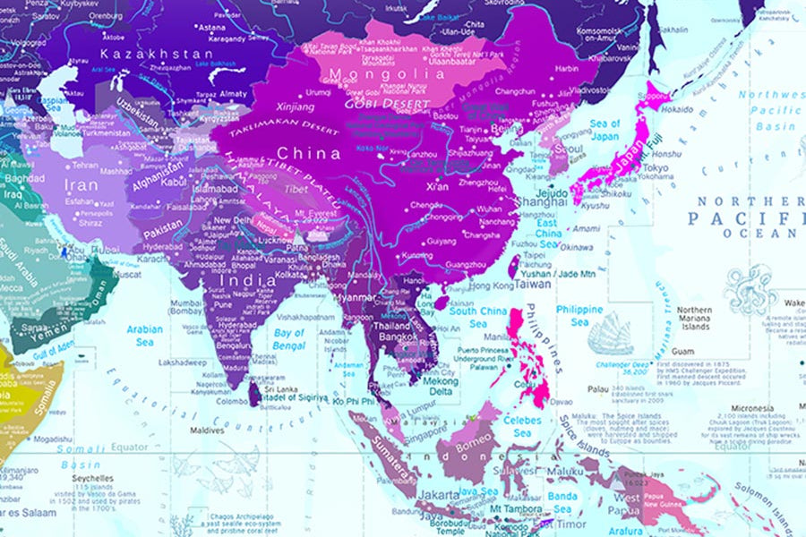
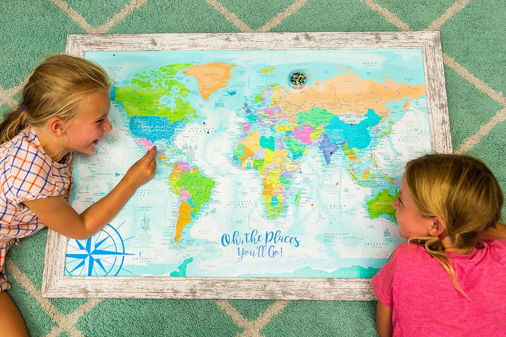
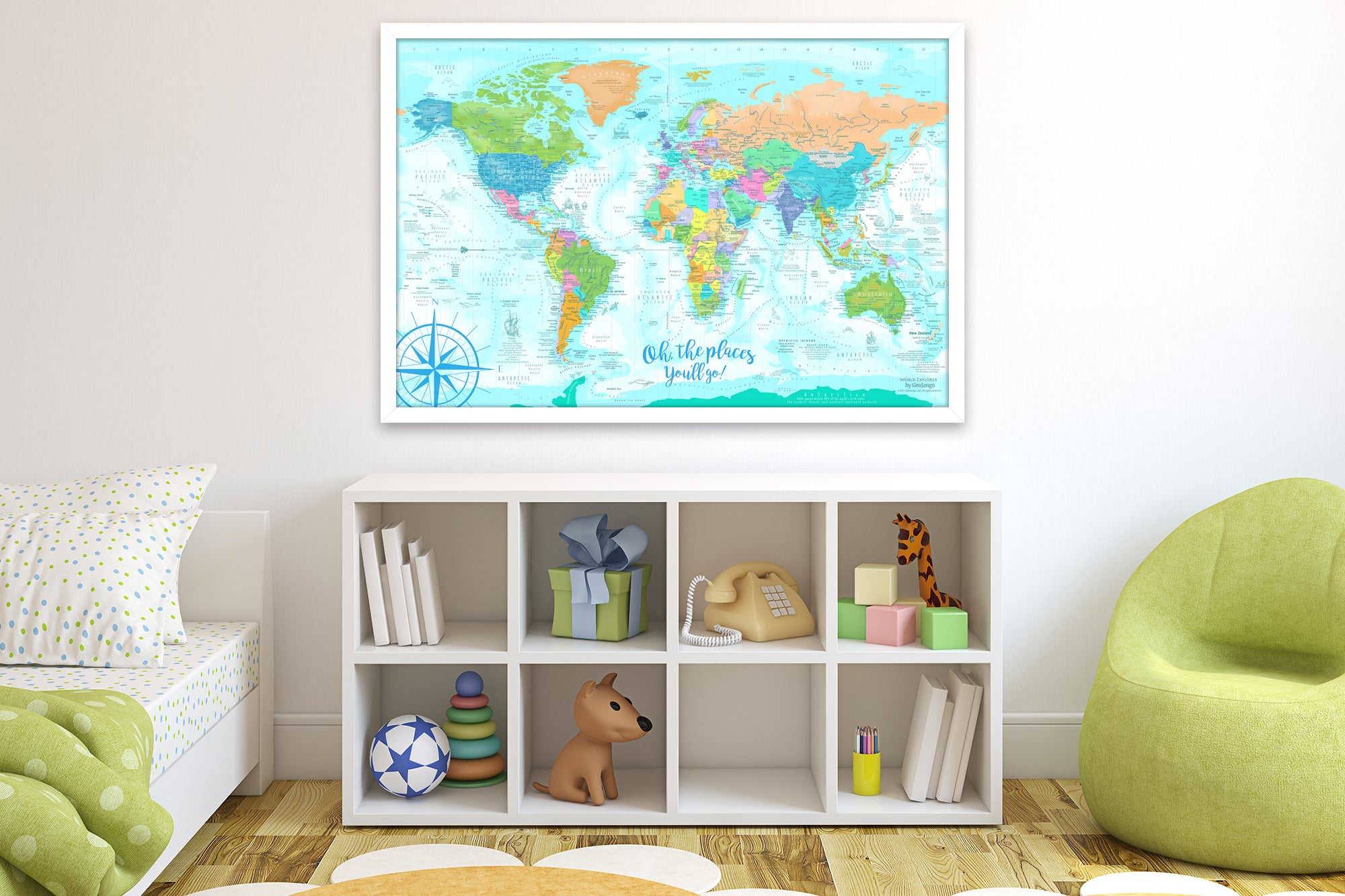
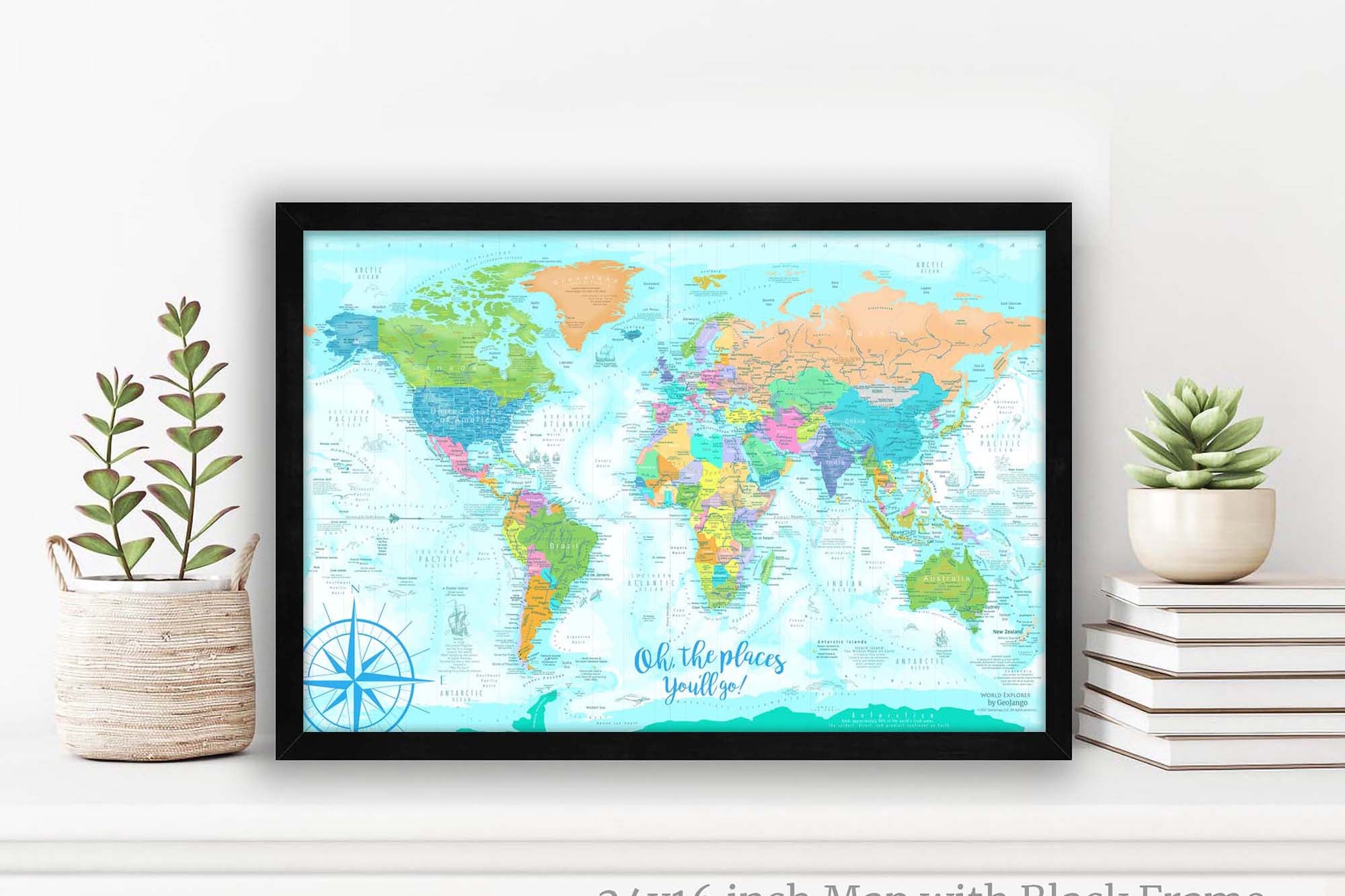
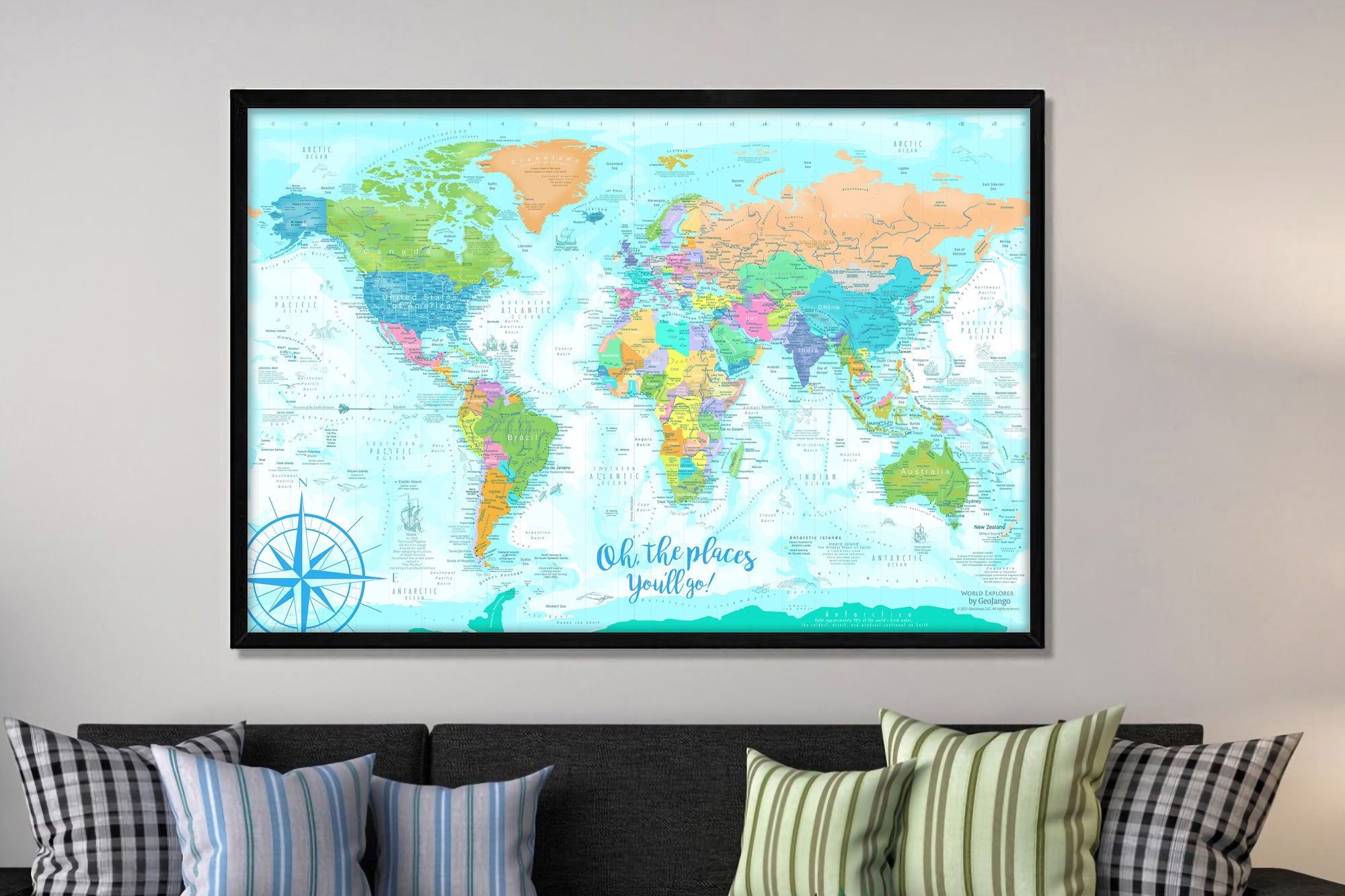
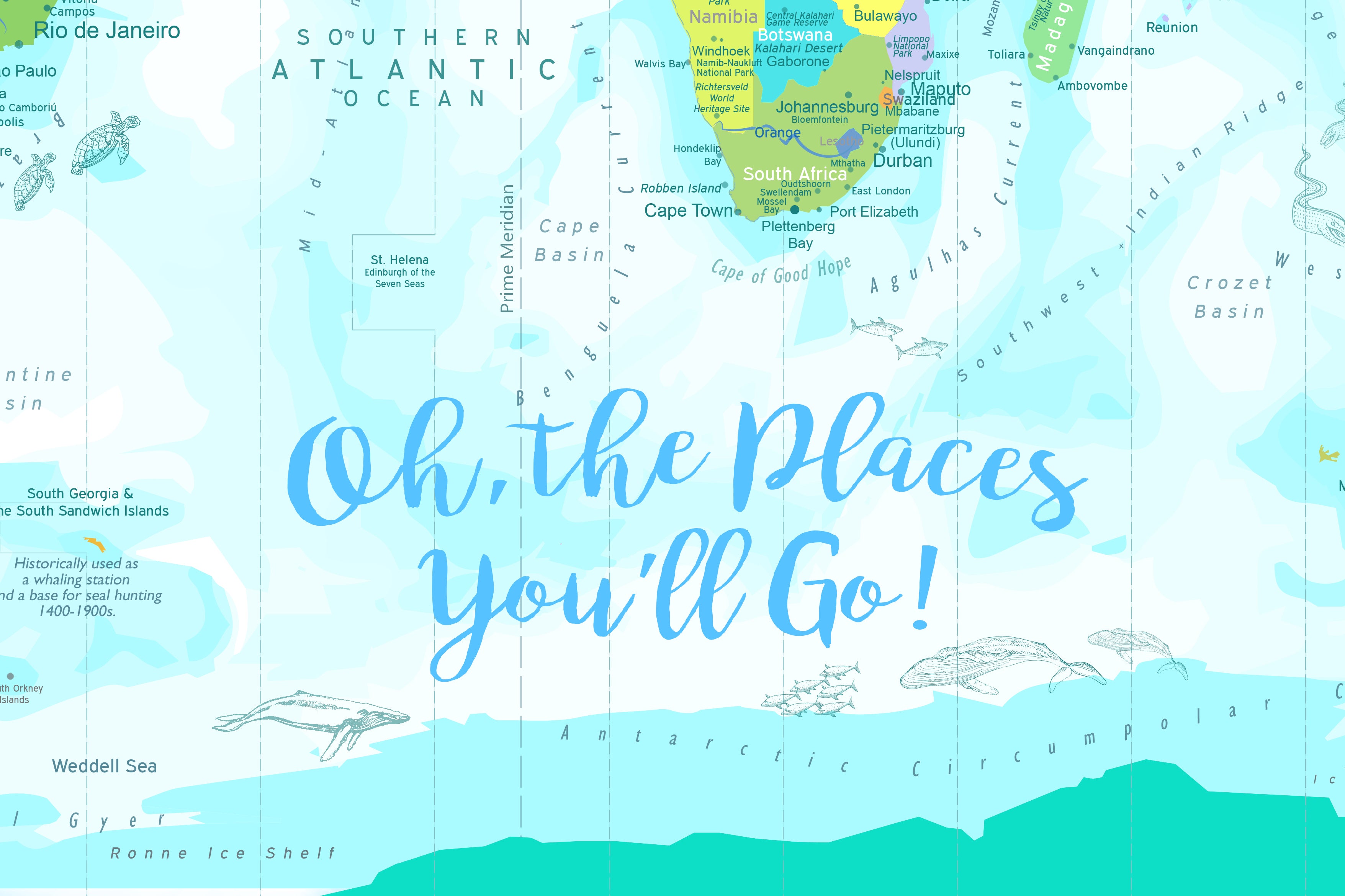
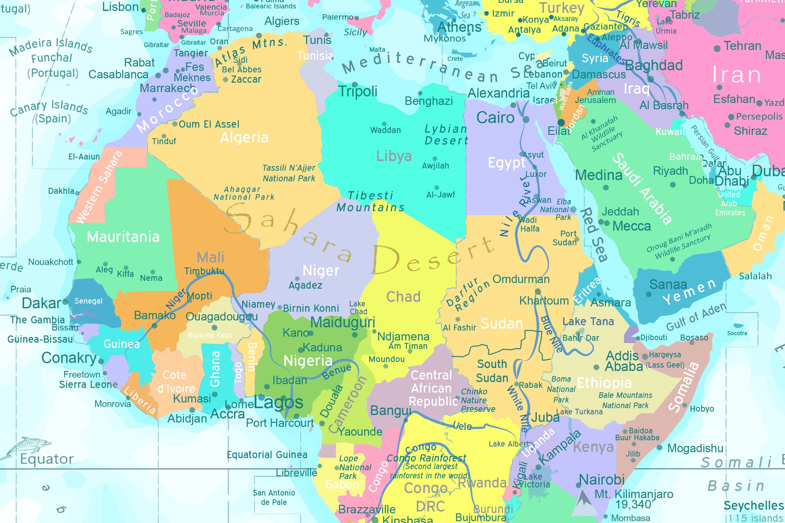
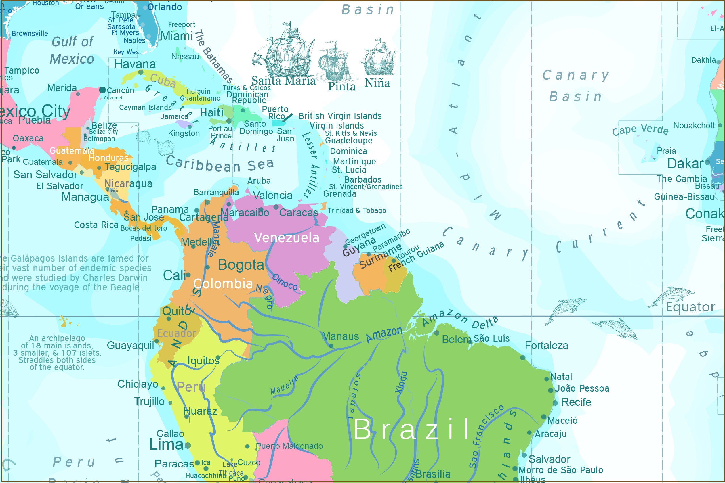
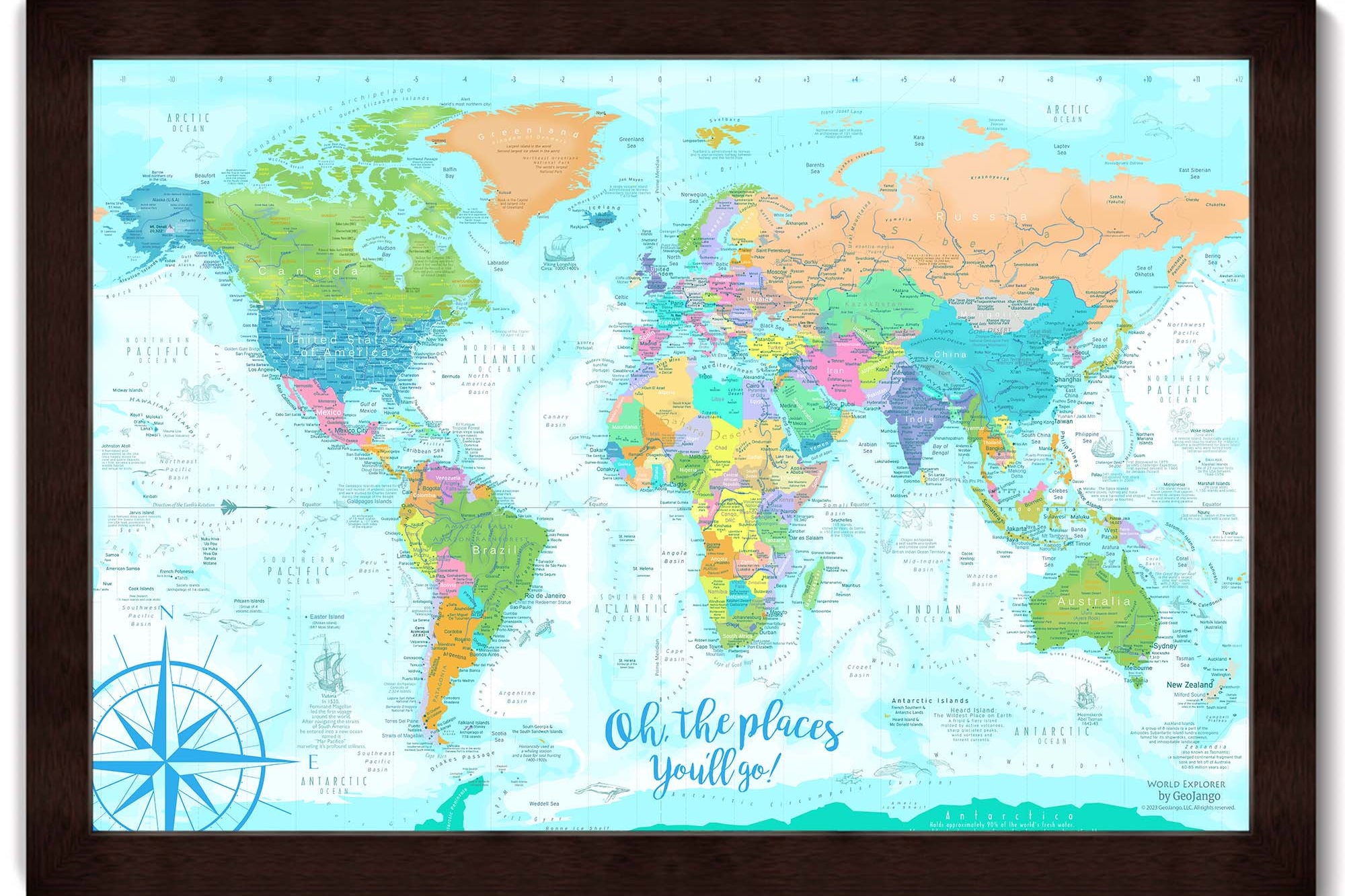
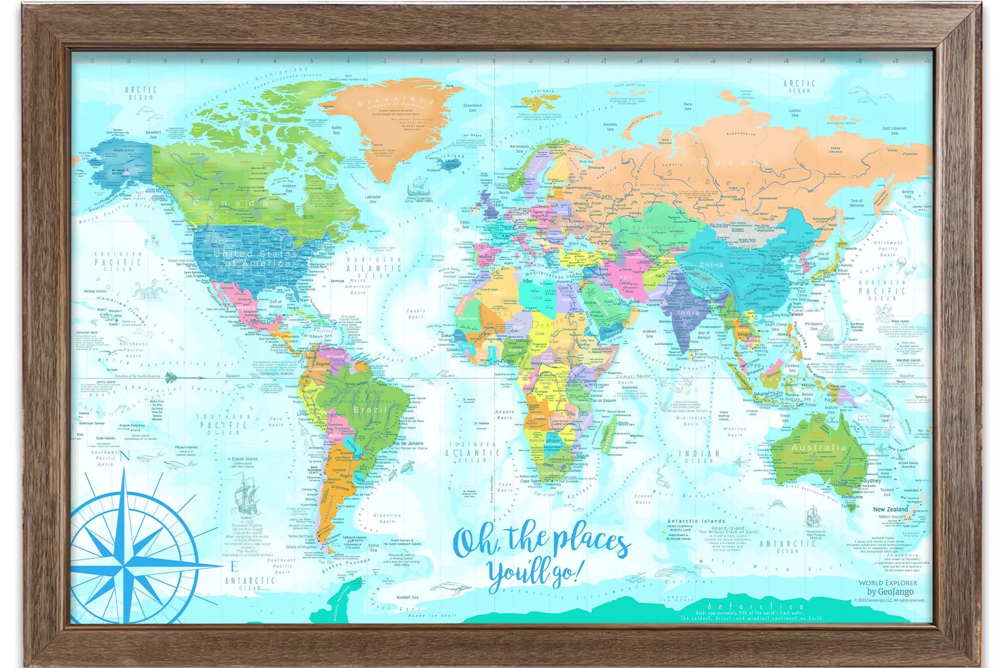
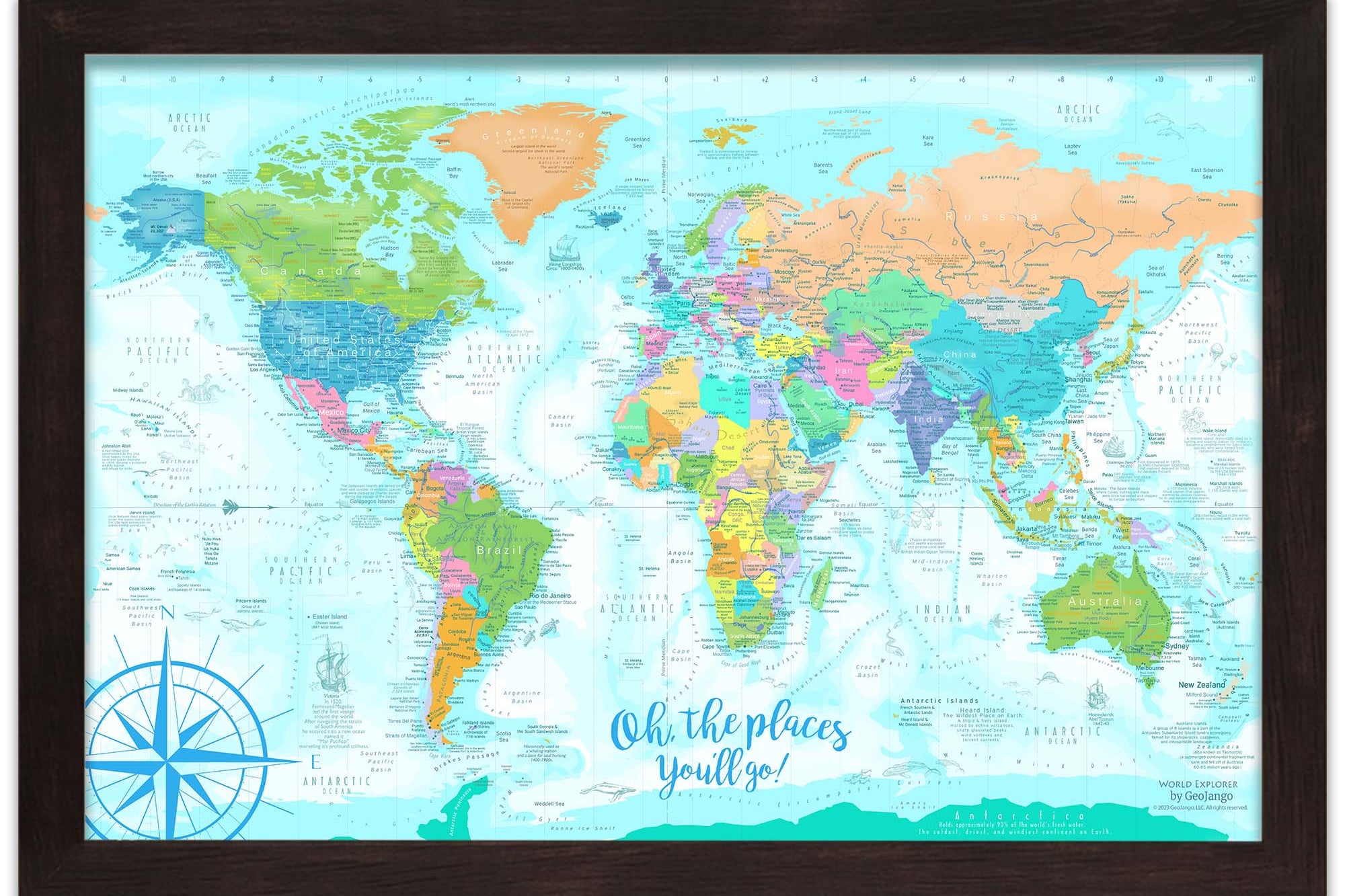
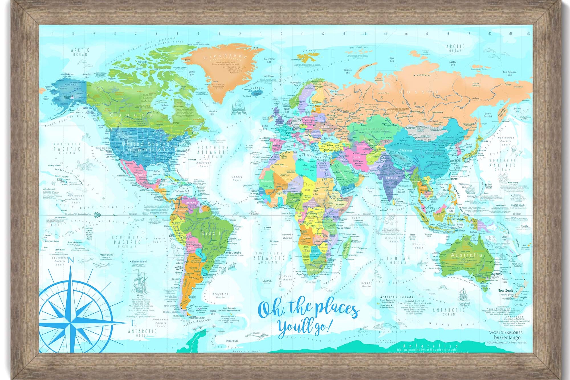
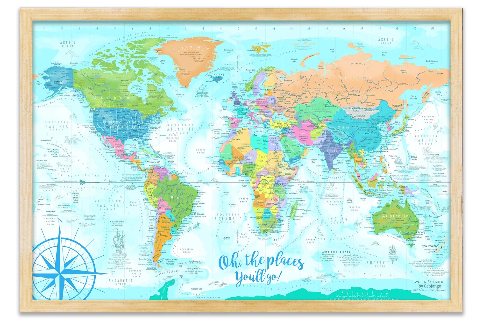
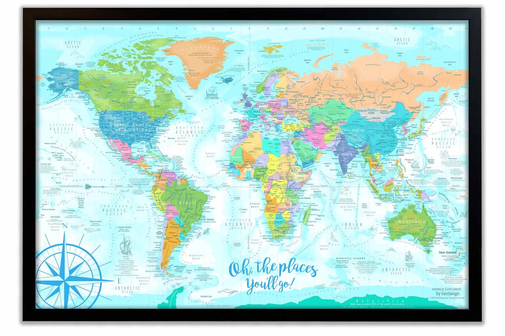
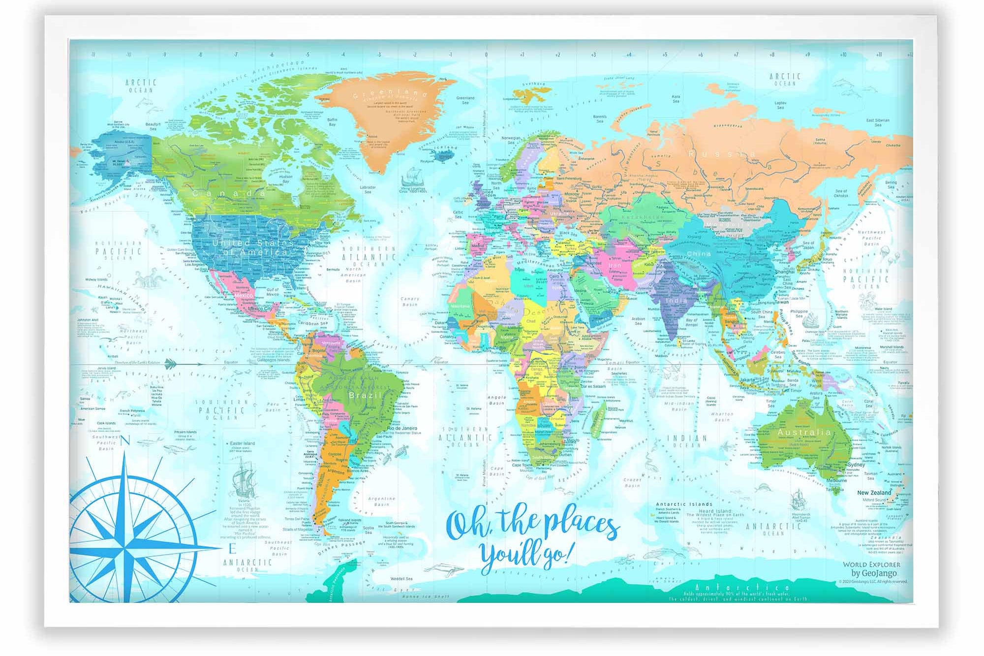
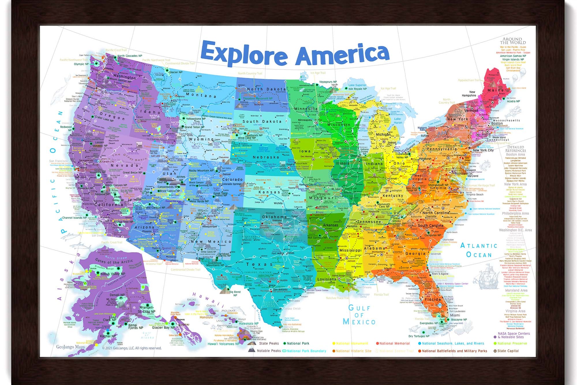
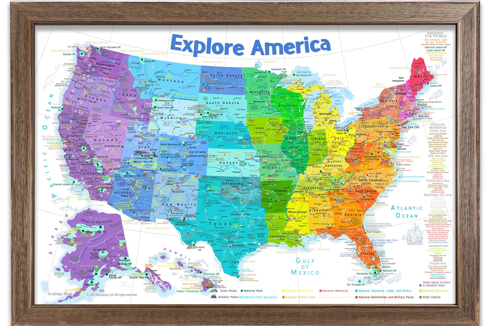
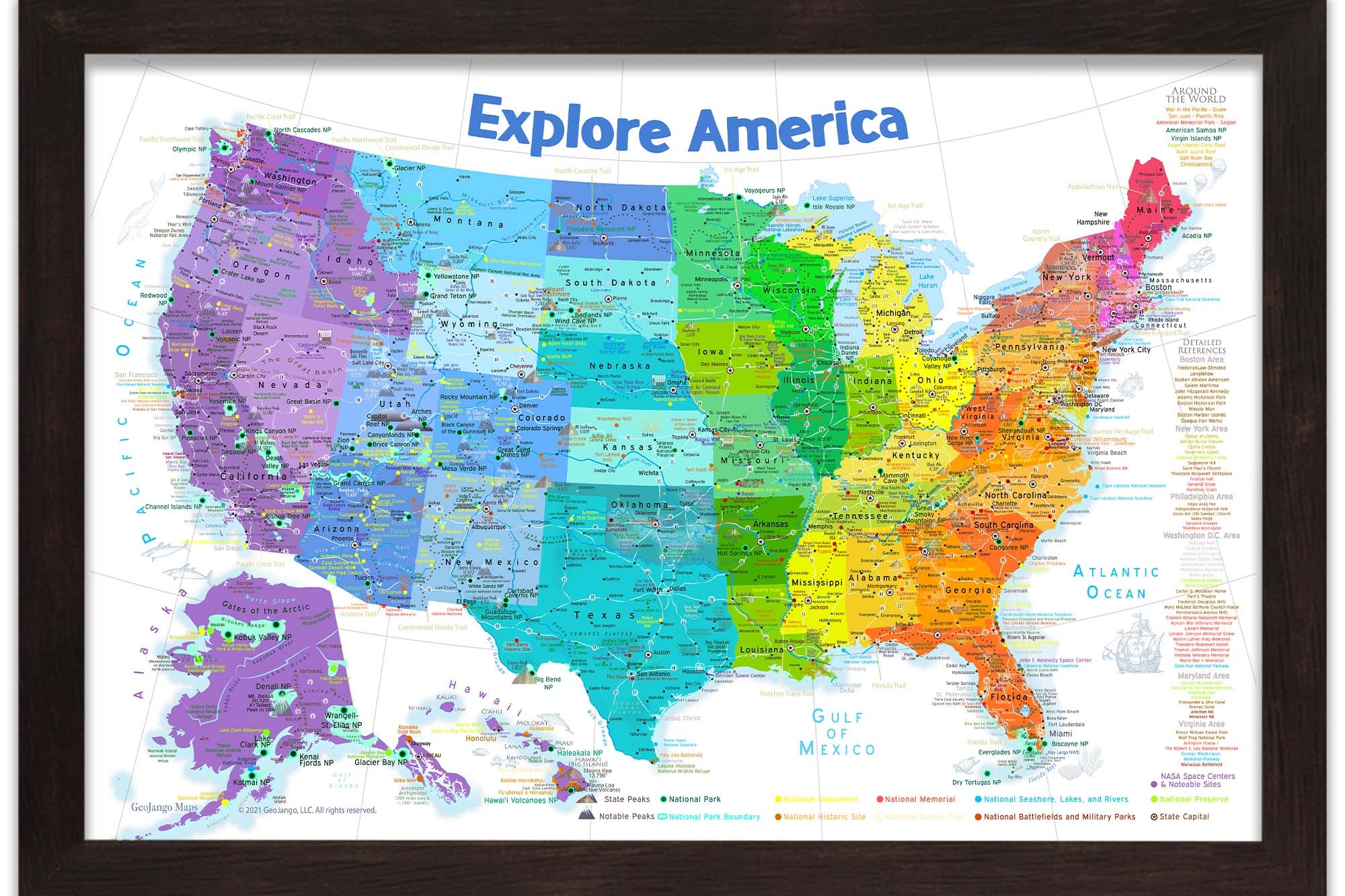
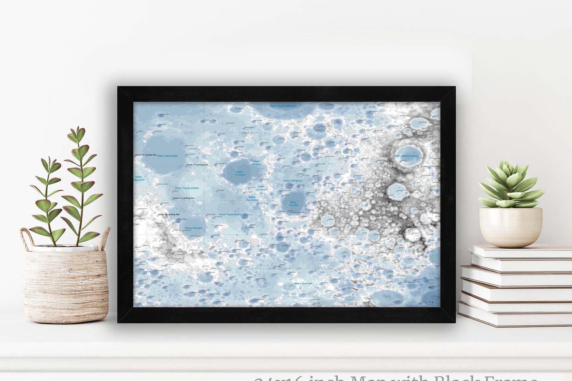
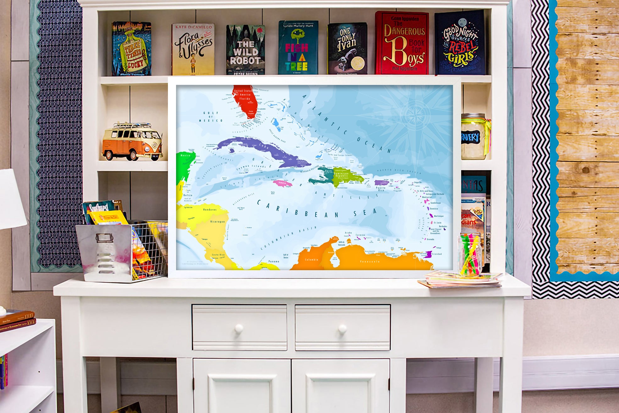
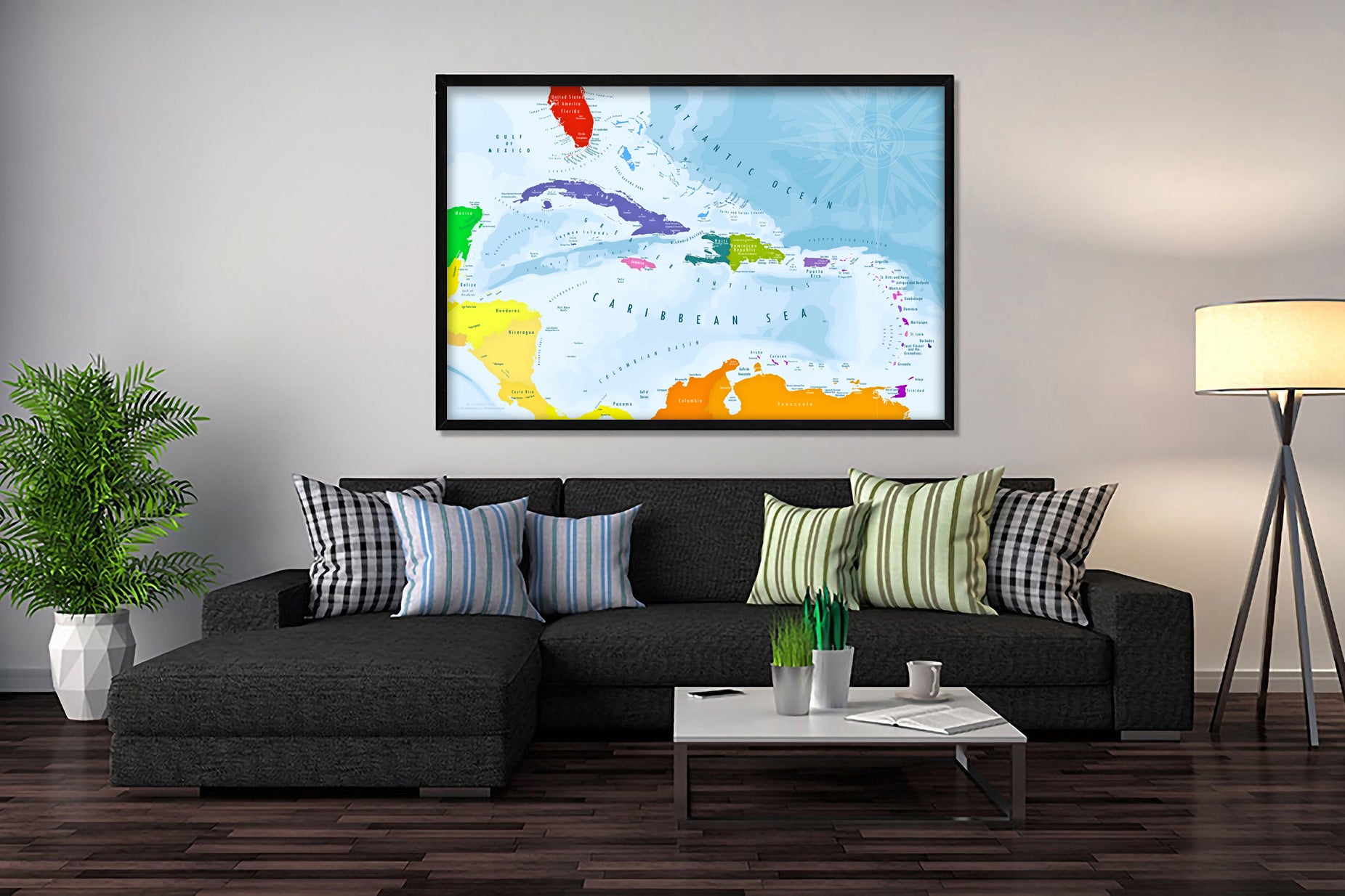
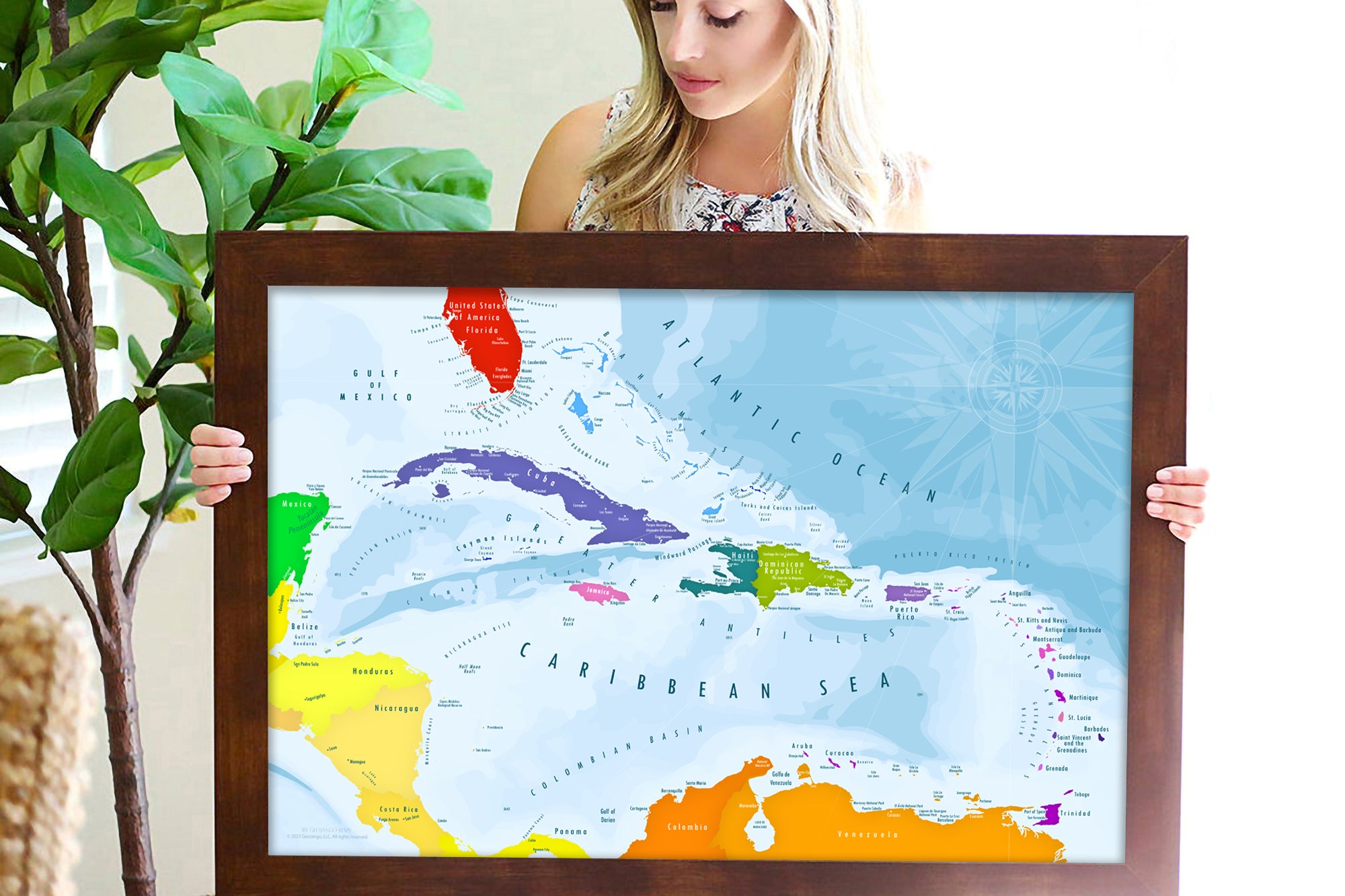
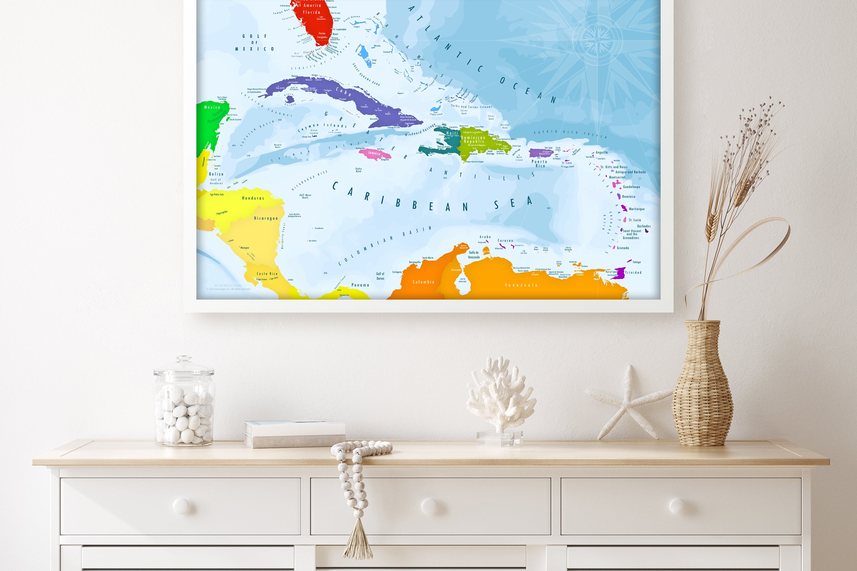
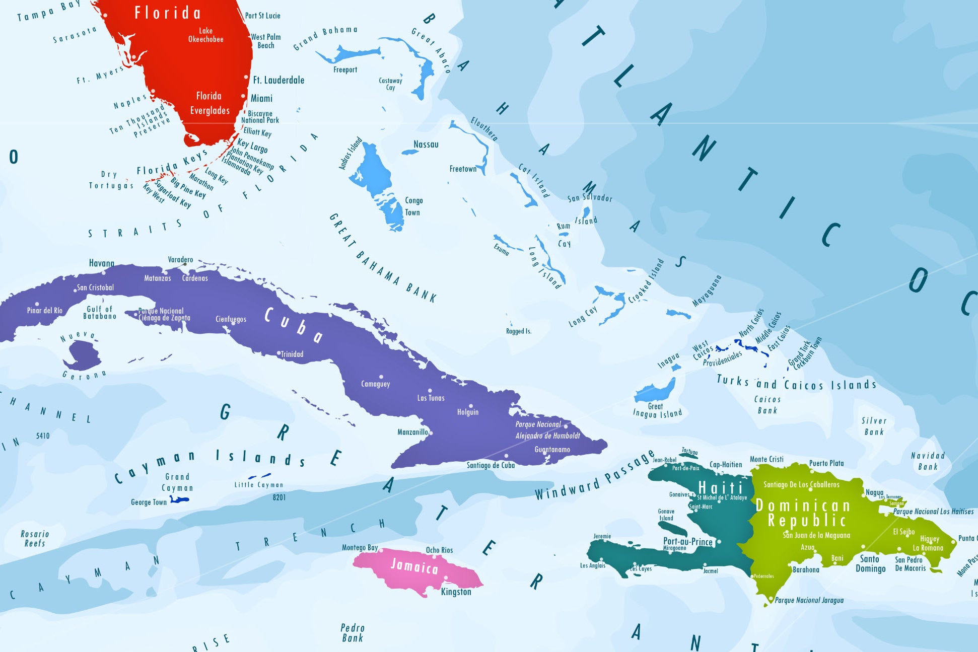
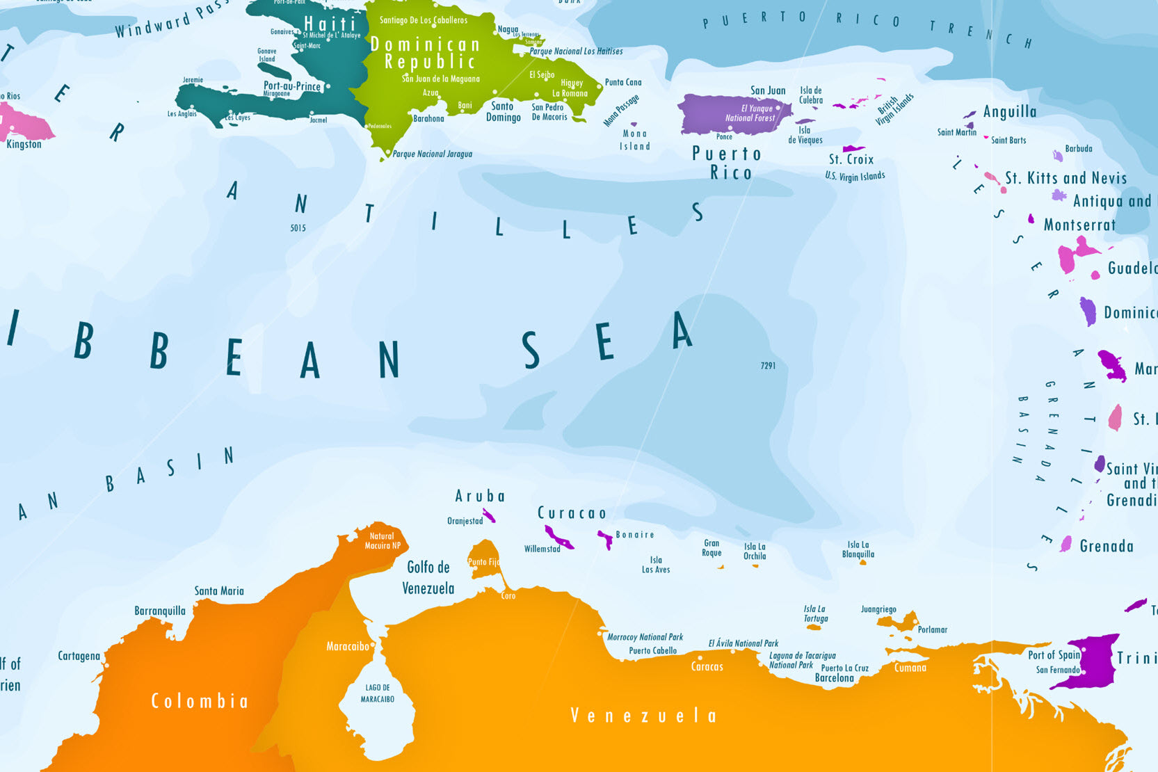
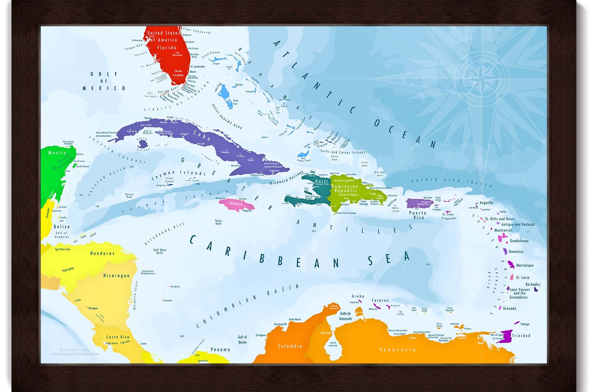
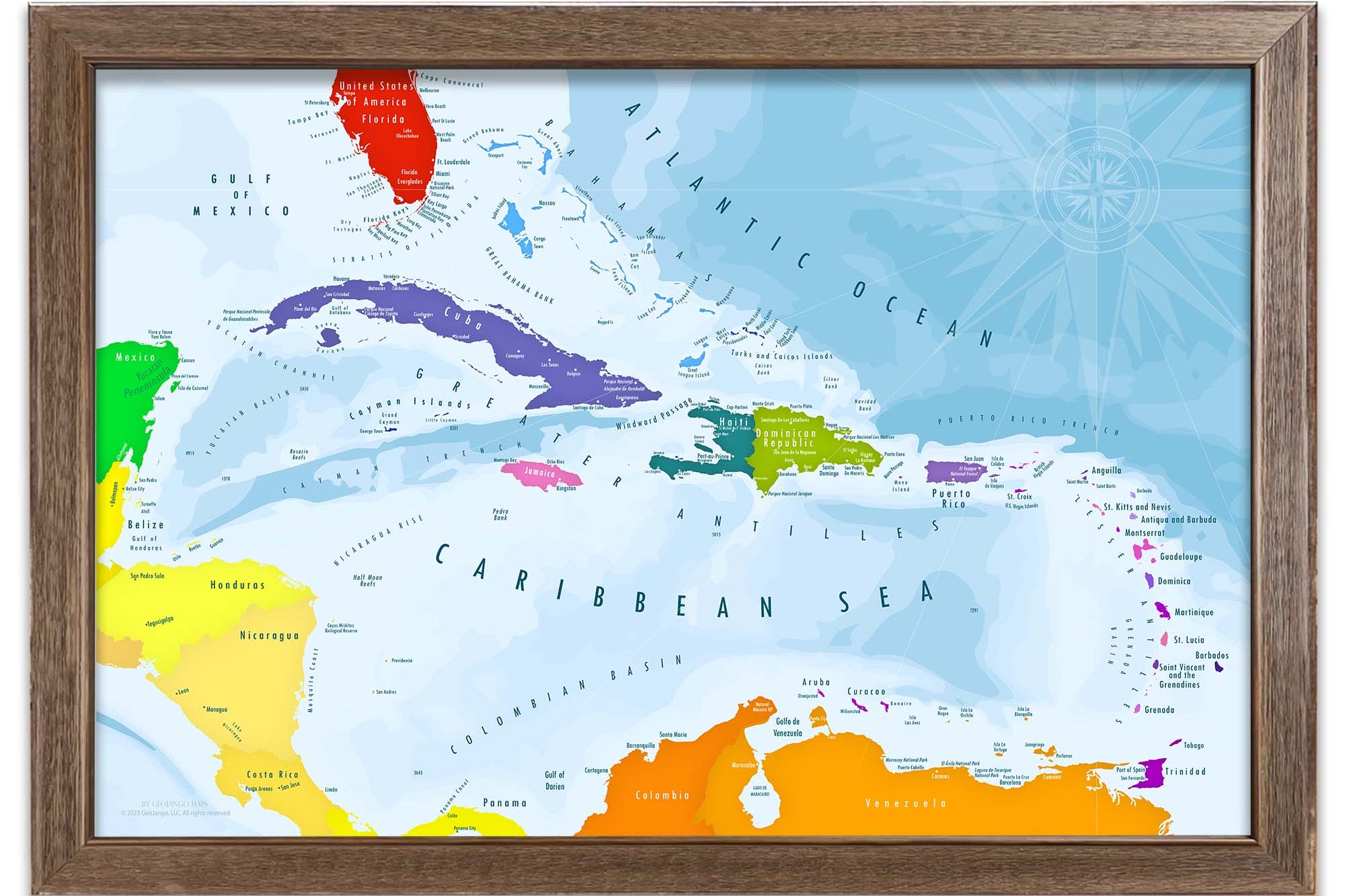
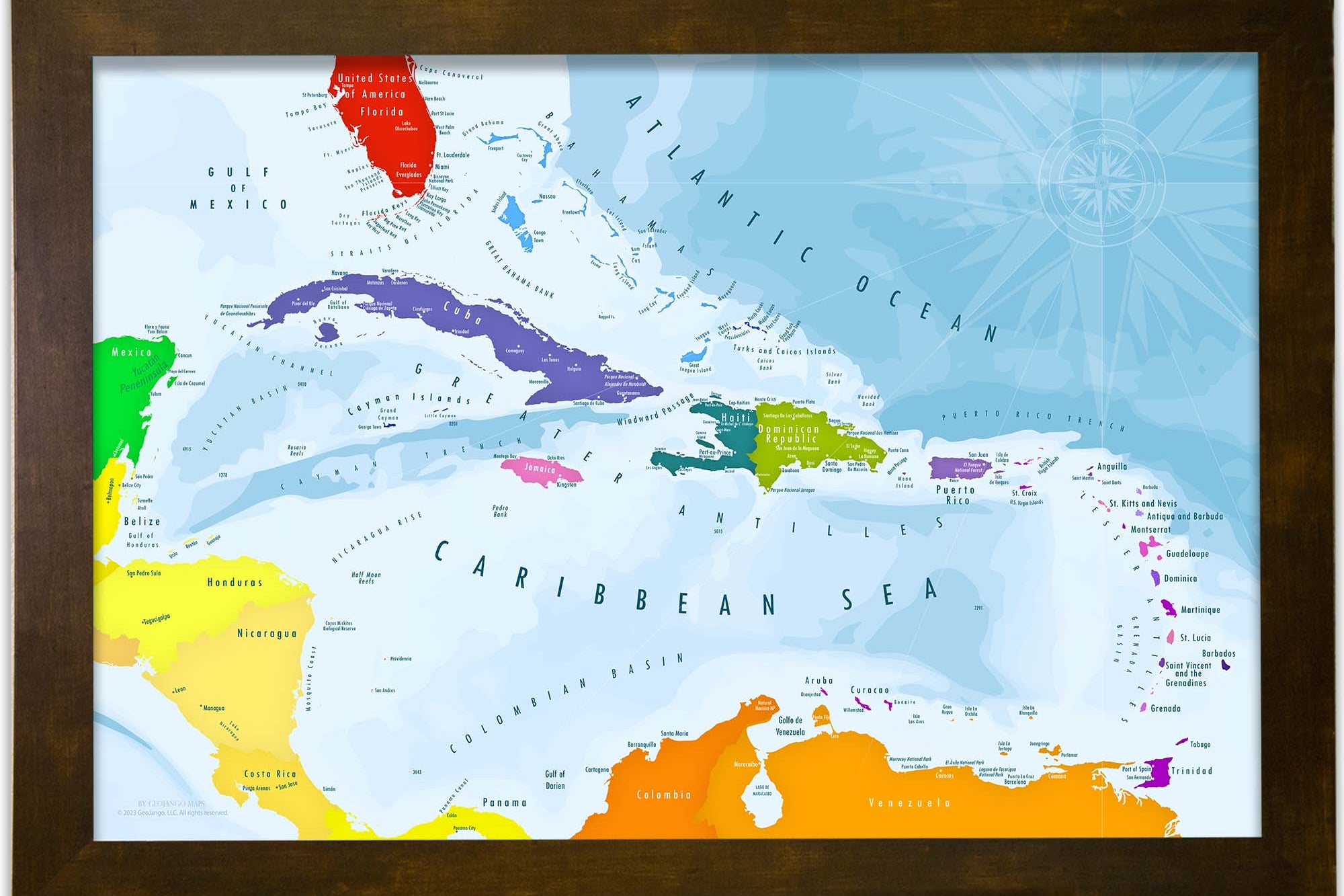
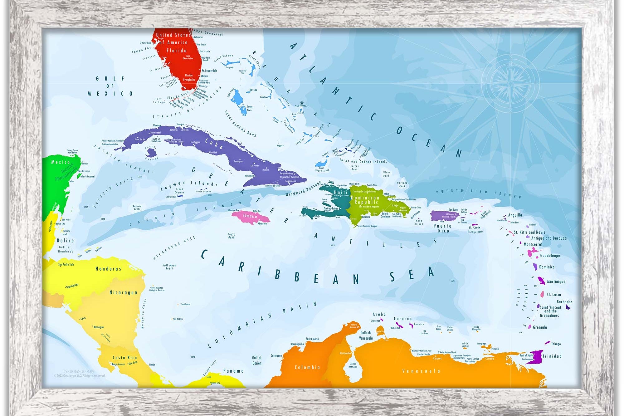
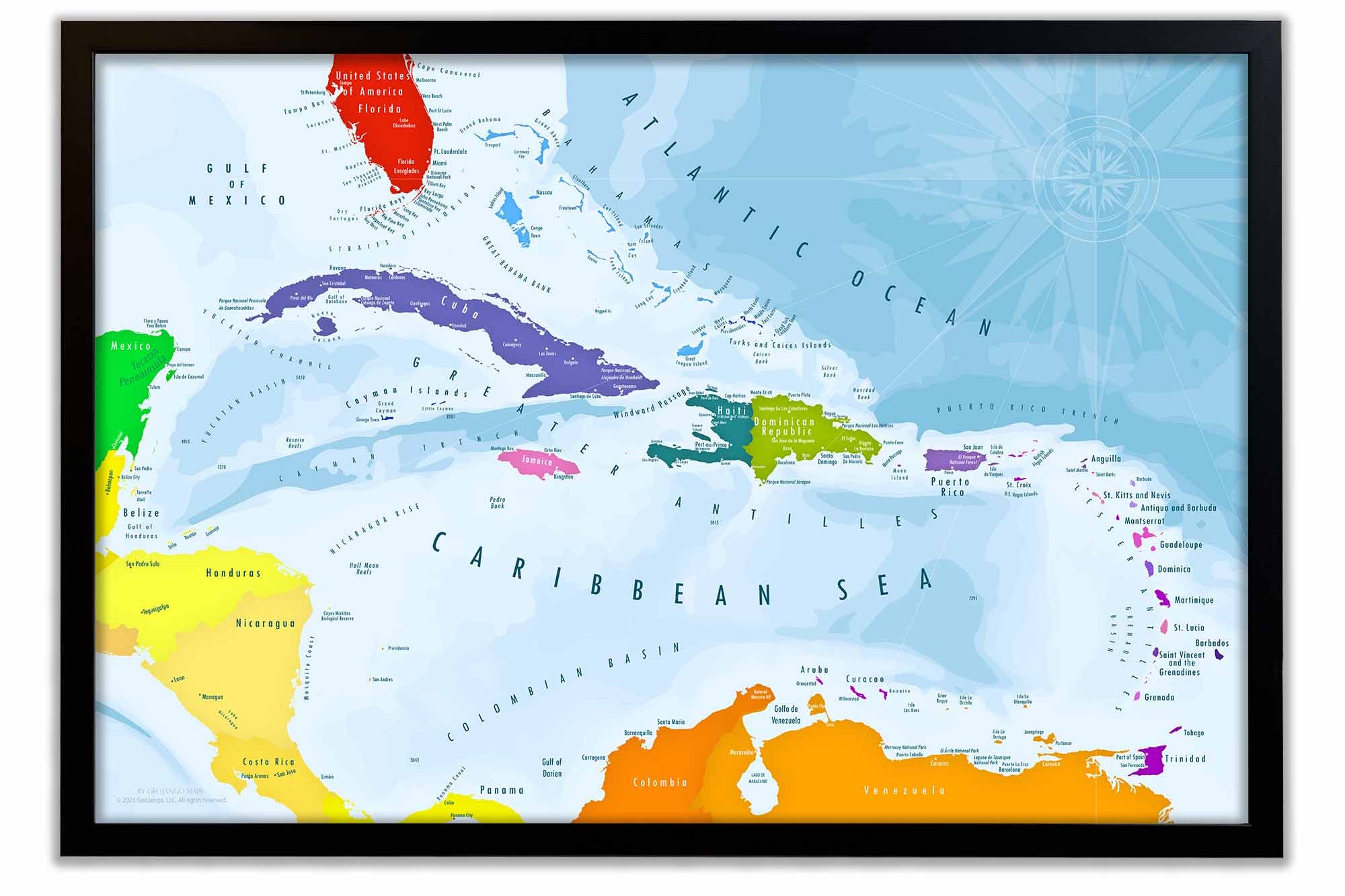
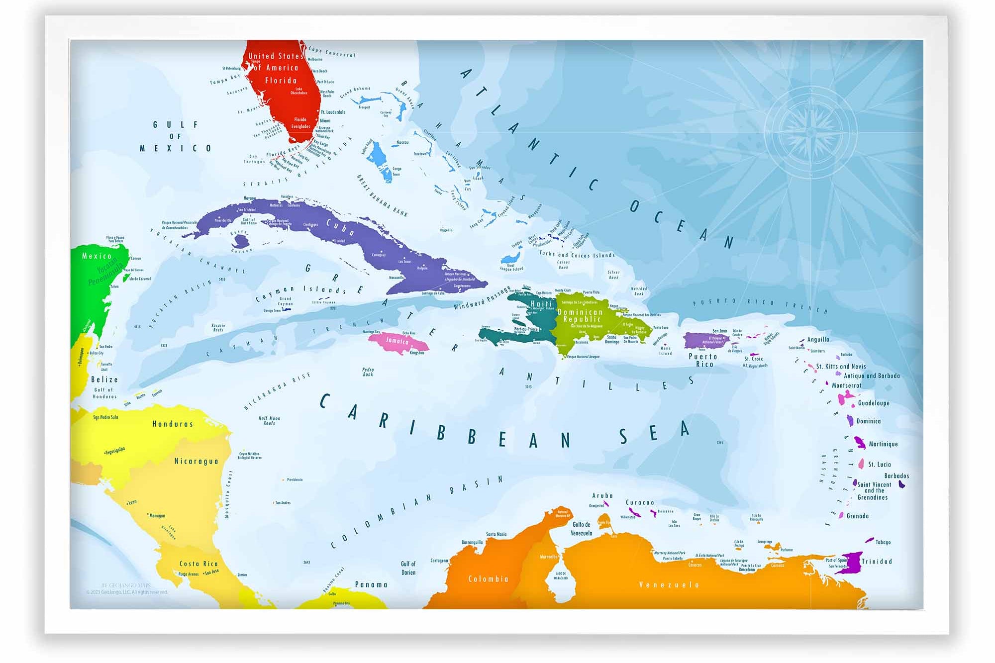
In our World Maps, kids and find the tallest peak in every continent, the deepest spot in each ocean, the largest islands in the world, and much more with a vibrant & educational map for kids!

Educational kids map
map for kids

Filter

Sort by
Down

world map for kids

Kids Map Description


Our kids maps were designed to encourage awareness about geography and historical events around the world. These maps contain vivid colors that will capture a child's imagination and can help to brighten up any living space.

Our educational maps feature ocean terrain depicting the elevation of the sea floor and illustrations of sea life. Historical commentary is also provided throughout each map, including but not limited to famous voyages and discoveries. In our World maps, we feature interesting topics such as the Ancient Trading Route to Timbuktu, the location of the sinking of the Titanic, the deepest spot in the ocean, the northernmost city in the world, and much more. In our USA maps for kids, we feature US National Parks, historic cities, tallest peaks in every state, NASA launch sites, National Monuments, and many other fascinating destinations that are fun to explore.

Browse our catalog above to find the perfect educational map for your child!

Now Available: Free Coloring Maps For Learning Geography


We recently launched a page filled with free geography materials to help educate children from home! On this page you'll find World & USA coloring maps, USA state symbols maps, and USA state capitals maps. All of these educational maps can be downloaded as a PDF for free and used to encourage an early interest in geography.


Sizes & Finish Types


Our kids maps can be ordered in a variety of sizes and will accommodate any space within your home. Take a look at the video below to see a side by side comparison of our map sizes.


We offer maps in three finish types: framed satin paper, framed canvas, and canvas wrapped maps. See the video below for a side by side comparison of our finish types.


Map Specifications


Every component of our products are made in the USA!

Our maps for kids are produced from the highest quality printer, paper, and archival inks for rich color depth. We mount all of our framed maps to gatorboard, a strong material that's designed to last for a lifetime.

Every kids map comes ready to hang with 100 multi-colored push pins included. You'll also receive a fun guide that shows you how to get started with your new map.


map of the world for kids

The Perfect Educational Gift


Kids maps make the perfect gift for all genders and occasions! Give your child the gift of a map for their birthday or for a special holiday.

Your child will not only love the colors in the map but, more importantly, they'll grow up with a better understanding of geography and how it relates to the world around them. It's important for children to develop this awareness at an early age and our maps are the perfect tools to accomplish this.