This is the second part in a multi-part blog series about my hike along the Pacific Crest Trail, a 2,650 mile hike from Mexico to Canada that passes through California, Oregon, and Washington. In this second blog, I will focus on the most beautiful section of the trail: the Sierra Nevada Mountains.

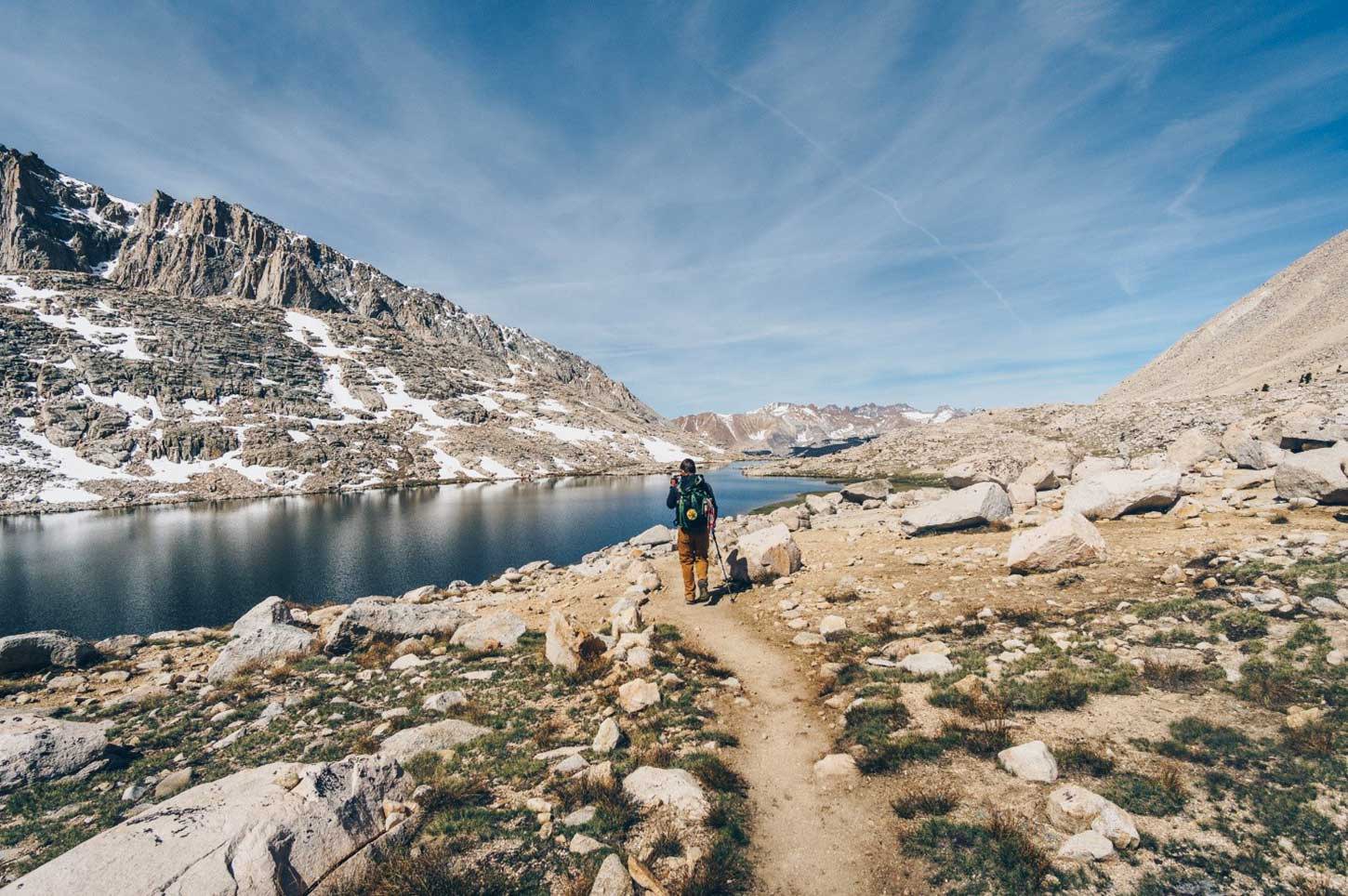
After walking through the desert for 702 miles, getting to the Sierra is a huge milestone in any northbound hiker’s journey. The massive peaks and deep blue lakes look even better after seeing such dry terrain for so long. The Sierra section of the trail is also at a higher elevation, ranging from 7,000 to 13,200 feet. Temperatures are much cooler, another welcome change from the desert.

Pacific Crest Trail

Sierra Nevada Mountains

About 50 miles into the Sierra section there is a side trail that departs the PCT and climbs up eight miles to Mt. Whitney, the tallest mountain in the United States outside of Alaska. Almost every hiker takes this detour and I was no different. I had climbed Mt. Whitney a few times before but I couldn’t resist the opportunity to watch the sunrise from 14,505 feet.

We started the hike at 2:30AM to reach the top for sunrise. It was well worth it and this was one of my favorite days on the trail.

Pacific Crest Trail Sunrise

Sierra Nevada Hiking

After climbing Mt. Whitney, the next challenge that awaits a northbound hiker is Forester Pass. Forester Pass stands at 13,200 feet elevation and is the highest point on the whole trail. Just before the top there is a notorious chute that every hiker must cross. Luckily there were a lot of footprints in the chute which helped me cross it safely and without too much sweat. The view from the other side was spectacular.

Pacific Crest Trail Hike

Mount Whitney

I continued north and every view seemed more impressive than the last. The terrain in the Sierra is very steep and rocky and it slows some hikers down. However, I was enjoying the scenery so much that I hiked all day because I was so excited to see what was around every turn. It is easy to see how the Sierra inspired countless writers and artists like John Muir and Ansel Adams. This section of the Sierra is also quite far from roads so it is much less crowded then famous areas such as Yosemite Valley. Yosemite Valley is beautiful in its own way but to me, the High Sierra Wilderness is much more enjoyable.

Snow is something on every thru-hiker’s mind when walking in the Sierra as this beautiful landscape is covered in snow most of the year. Enter too early in April or May and travel will be very difficult. Luckily, I entered the Sierra in mid-June and there was only a few miles of snow on the highest passes, so snow did not slow me down much.

Snow Hiking

Sierra Nevada Mountains

Unfortunately, about half way through the Sierra I began to feel quite weak and I could not hold down most food. I attempted to hike on anyways, but I lost 30 pounds. Since I was unsure what was wrong, I exited the Pacific Crest Trail and hiked 16 miles down to Bishop, California. I stayed in the Hostel there for a few days and when I was not improving, I went to the doctor. The doctor told me that I had contracted Giardia, an intestinal infection. Luckily, she gave me the antibiotics and I soon felt strong enough to return to the trail.

Many hikers contract Giardia from a water source along the trail. At the time I was using chlorine dioxide to filter my water, but after doing more research I would recommend using a physical filter in order to be sure that the water is safe to drink.

It takes a few weeks from drinking the water until the symptoms start to materialize, so although I did not feel sick until the Sierra, I definitely picked up Giardia in the desert. Water is clean and plentiful in the Sierra and many times you can see the snow that it is melting from not that far away.

Pacific Crest Trail Sierras

Sierra Water


The night skies in the Sierra are some of the best in the entire United States. I was lucky enough to go through the Sierra around the time of the new moon, so the moon did not dim the stars at all. On a few nights, I set up my camera to take some night time photography. The interesting thing about modern cameras is that they can actually let in more light then the human eye. I set my camera to keep the shutter open for 15-20 seconds to let in a lot of light. Unfortunately, you cannot see quite as much definition and color in the milky way in person, but it is still a spectacular sight.

Milky Way

North of Yosemite National Park, the Pacific Crest Trail begins to gradually descend to lower elevation. The lakes become less pristine and there are a lot more trees. The bright side is that the trail becomes much flatter and easier. Unfortunately the trail takes a rather dull route through Yosemite. Yosemite is famous for Yosemite Valley, the massive glacially carved granite valley, and the high country. The PCT threads a route between both of these scenic areas in the park and you do not see either of them.

Sierras

Sierra Nevada Pacific Crest Trail

There is much debate as to where this section of the trail ends and the next section, the Northern California section starts. I personally consider the Sierra to end in Desolation Wilderness, pictured above. This is the last high alpine section that the PCT passes for quite some time.


Anthony Ottati

Leave a comment

Please note: comments must be approved before they are published.