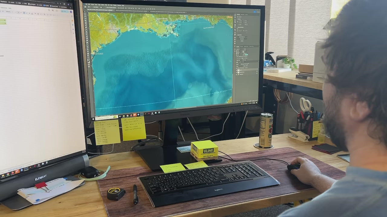
Our most popular world map! The Voyager 2 is a stunning world map that features a collection of satellite imagery and terrain modeling with 3D shading affects. This map of the world is named after the first spacecraft to reach interstellar space.
The vivid oceanography and terrain details make the map come to life. The map features traditional geographical references plus fascinating details of historical events and special points of interests around the world.
About the Map: Our Voyager 2 World Map is a view of the natural Earth. It is created using a combination of satellites and developed entirely using numbers, measurements, and GIS software.
We use the USGS LandSat satellite to visualize the landscape on land and NOAA's bathymetry data to visualize the elevation and topography of the sea floor. The famous Space Shuttle Radiometric Topographic Mission, SRTM Data, is used to gather the elevation height for the land. With the data, we applied a hill shade to visualize the shading effects (at 3 p.m. every where on Earth). This is most visible in the largest mountain regions around the world.


