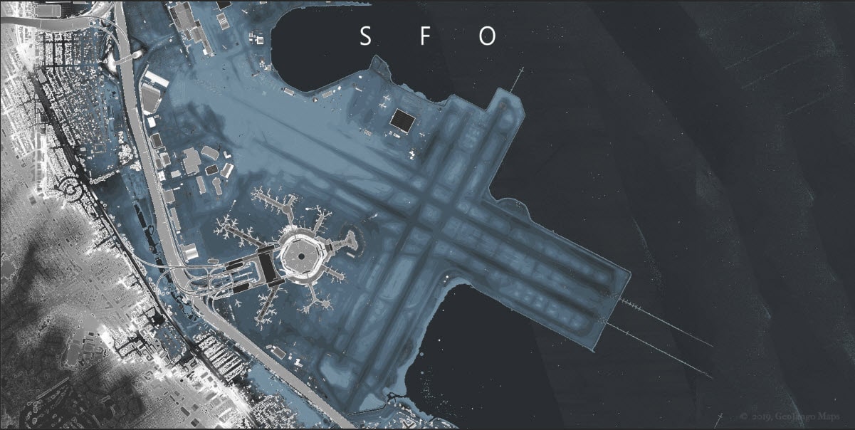
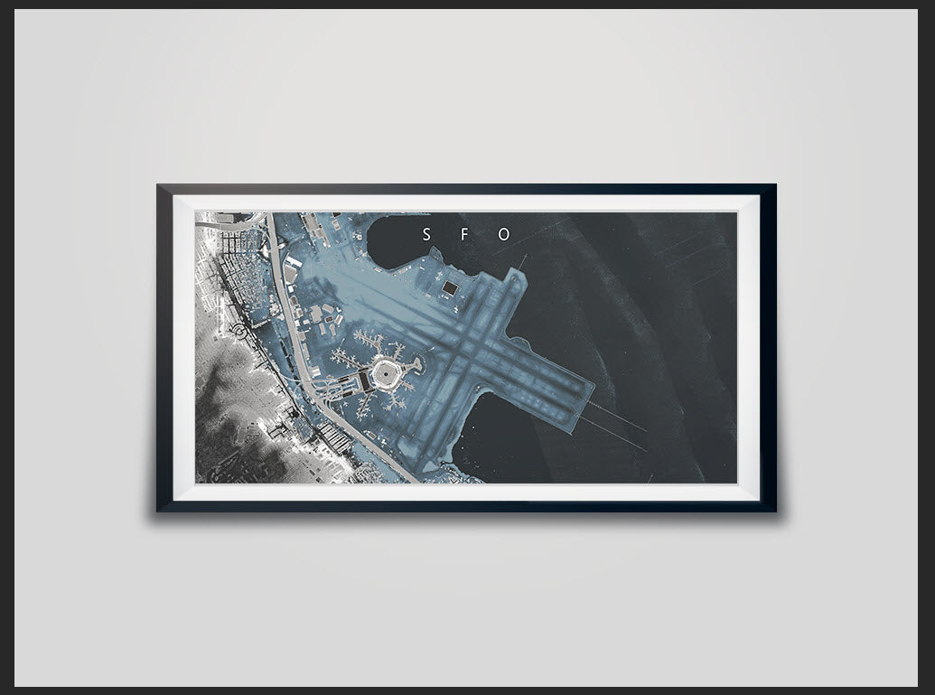
Wholesale SFO Airport Runway Diagram Map Print - Fine Artwork
Standard maps will enter production right away, within the next business day. Larger orders may take more time.
All push pin board maps (framed or canvas wrap) include push pins, are easy to hang, and ship free in the continental US. We'll select the optimal shipping method for fast delivery.
For personalized maps we collaborate closely to guarantee satisfaction. Expect a proof to be sent to you. Your swift responses will facilitate the production and shipping process.
If there are any problems with your map we will take care of you. Returns for all maps are straightforward and hassle-free.
For personalized maps, engaging with the email proofs we send ensures that the final product meets your expectations precisely.
We have 30+ years of cartography experience, meticulously craft each order by hand to ensure excellence, and 100% guarantee your satisfaction. We produce maps that are built to last, with state of the art production and archival quality materials.
Customize with quotes, legends, or dedications using "Personalize Map" options to craft your masterpiece map. Or reach out to us if you don't see the option you want.
We collaborate with you from design to approval of your proof so that you are 100% happy before we print and ship.
Our excellent customer service is always open to you.
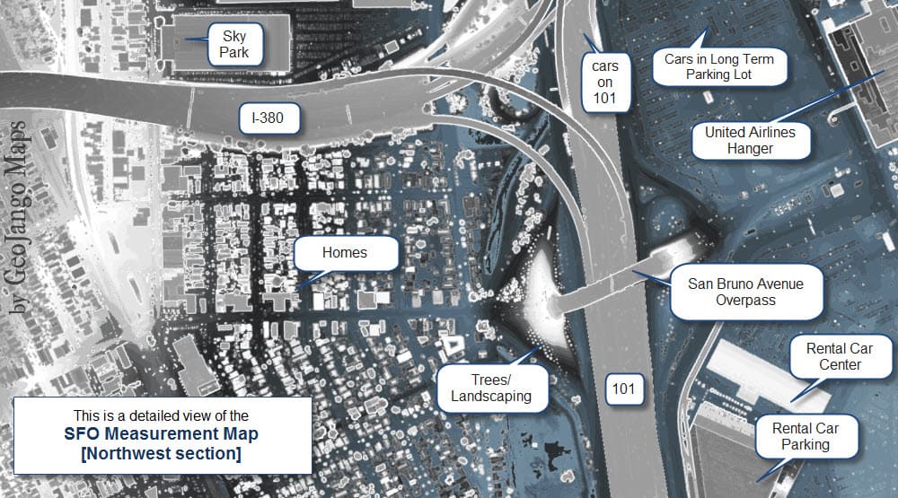
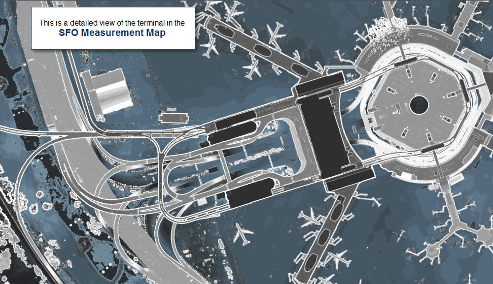
This San Francisco SFO Airport Map was uniquely created from millions of data points.
About LiDAR: Light Detection and Ranging (LiDAR) data provides information on the height of objects and pass through certain objects to object subsequent measurement points.
About the creation: GIS software was used to process the volumes of Big Data in a series of conversions, merging, categorizing, smoothing, and symbolizing.
Why choose GeoJango Maps
- We have a lifelong passion for maps, backed by 30+ years of cartography experience and Master's Degrees in Geographic Information Systems (GIS) from Penn State University and Environmental Science from the University of South Florida.
- Our incredible investment into the design of our maps results in unparalleled detail that matters: they will educate you, and grow with you as you travel the world and track your travels—where other maps miss the mark.
- We’ve built the leading map production studio in the USA and use exclusively USA-made materials. Each pin map is proudly crafted by hand, printed by us on the finest materials, mounted on museum-quality Gatorfoam, and carefully framed just for you.


