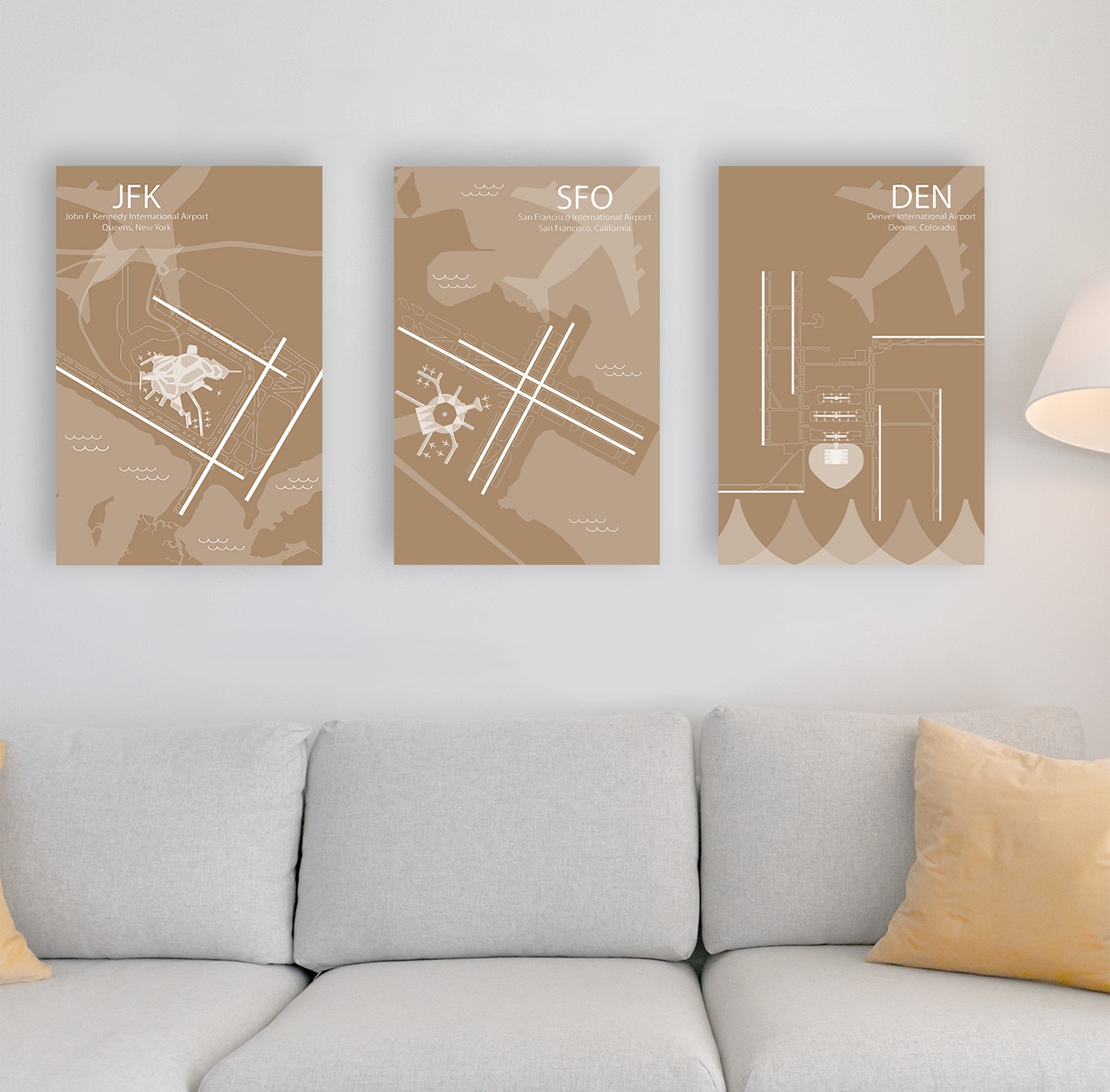
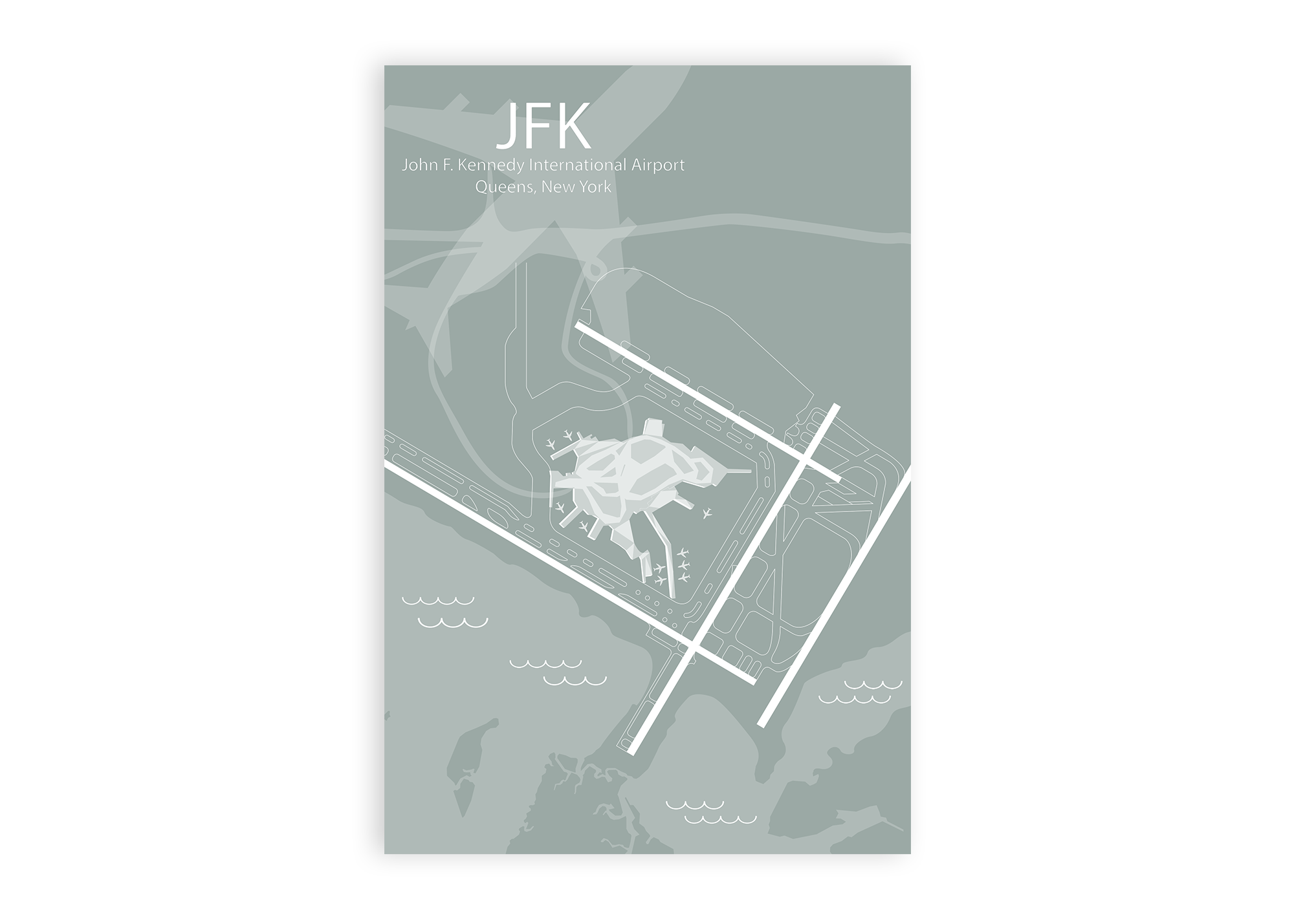
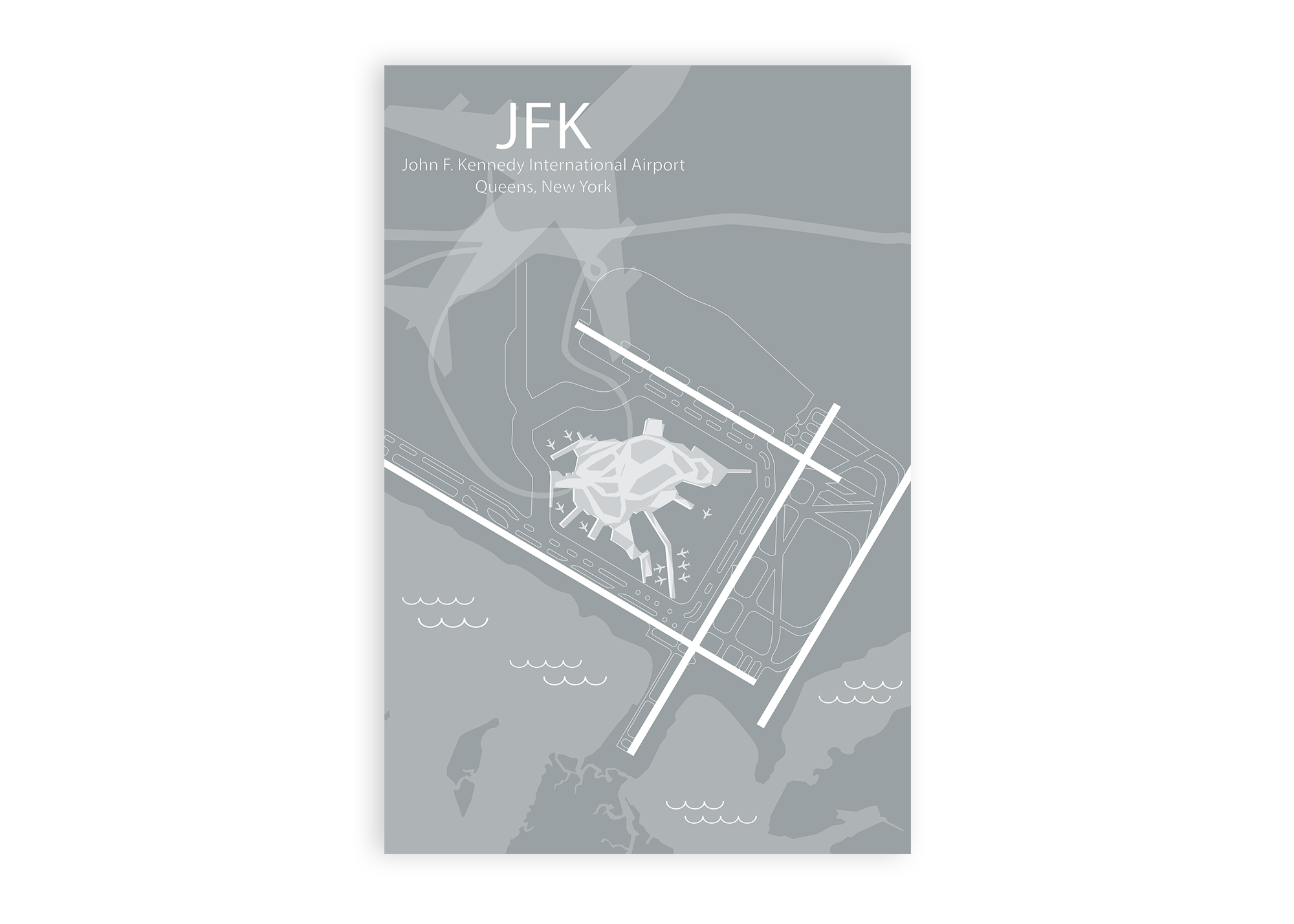
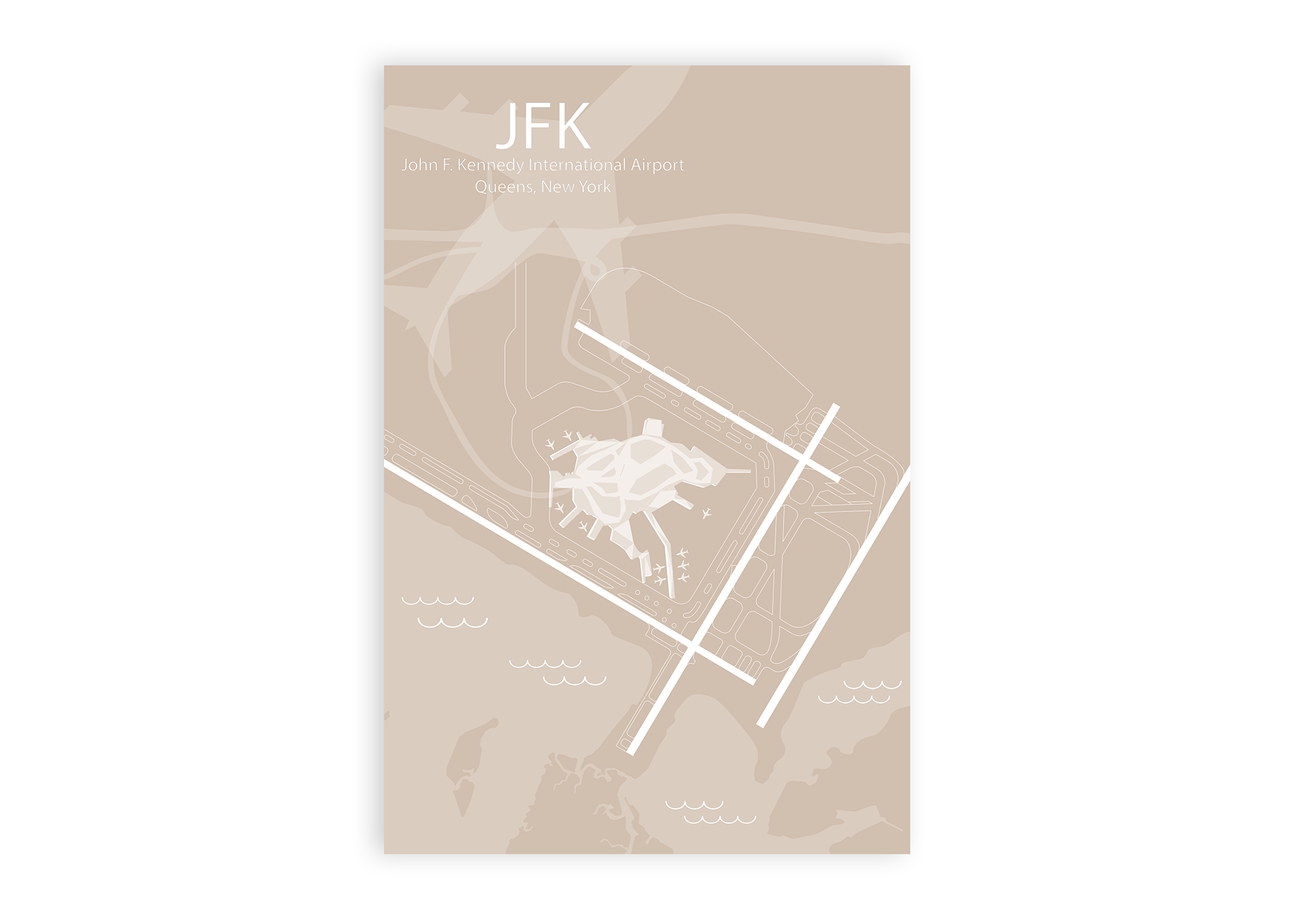
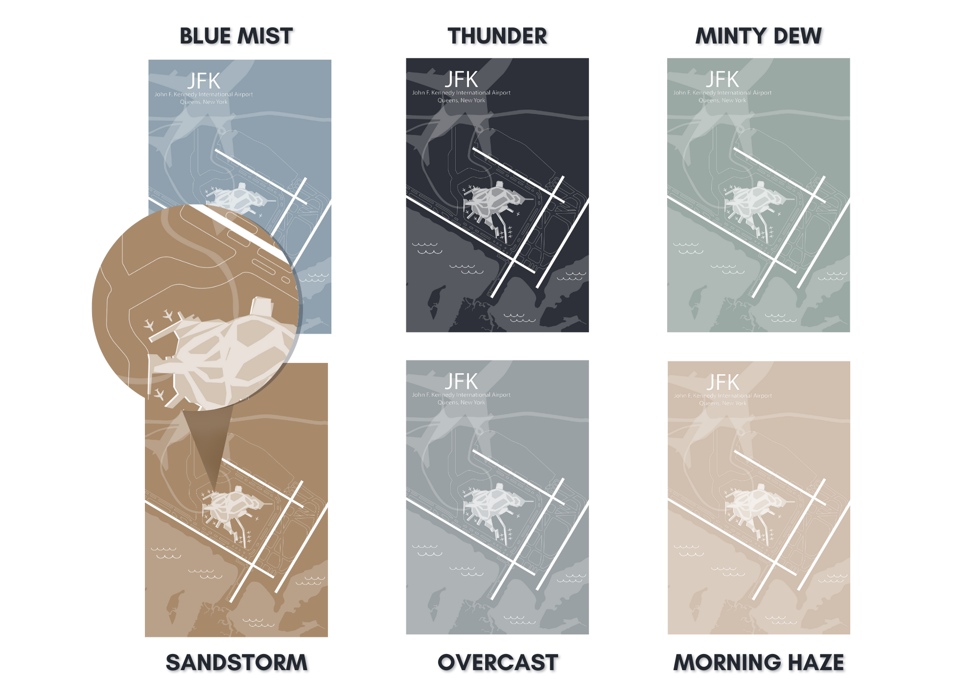
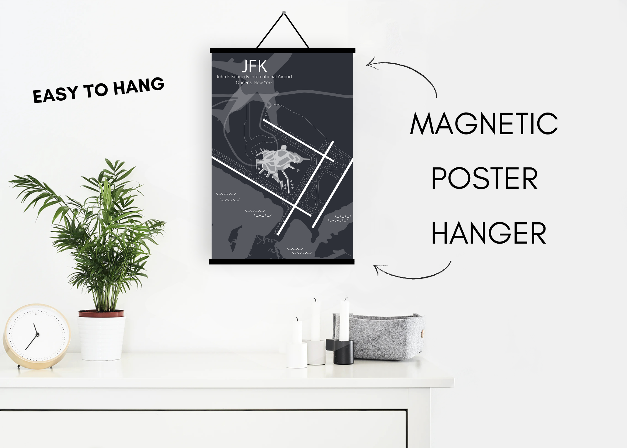
Fun airport and travel decor. Travelers can celebrate their travel adventures with a unique airport map. Perfect for airline employees, pilots, airport staff, travels, corporate gift and gift shops.
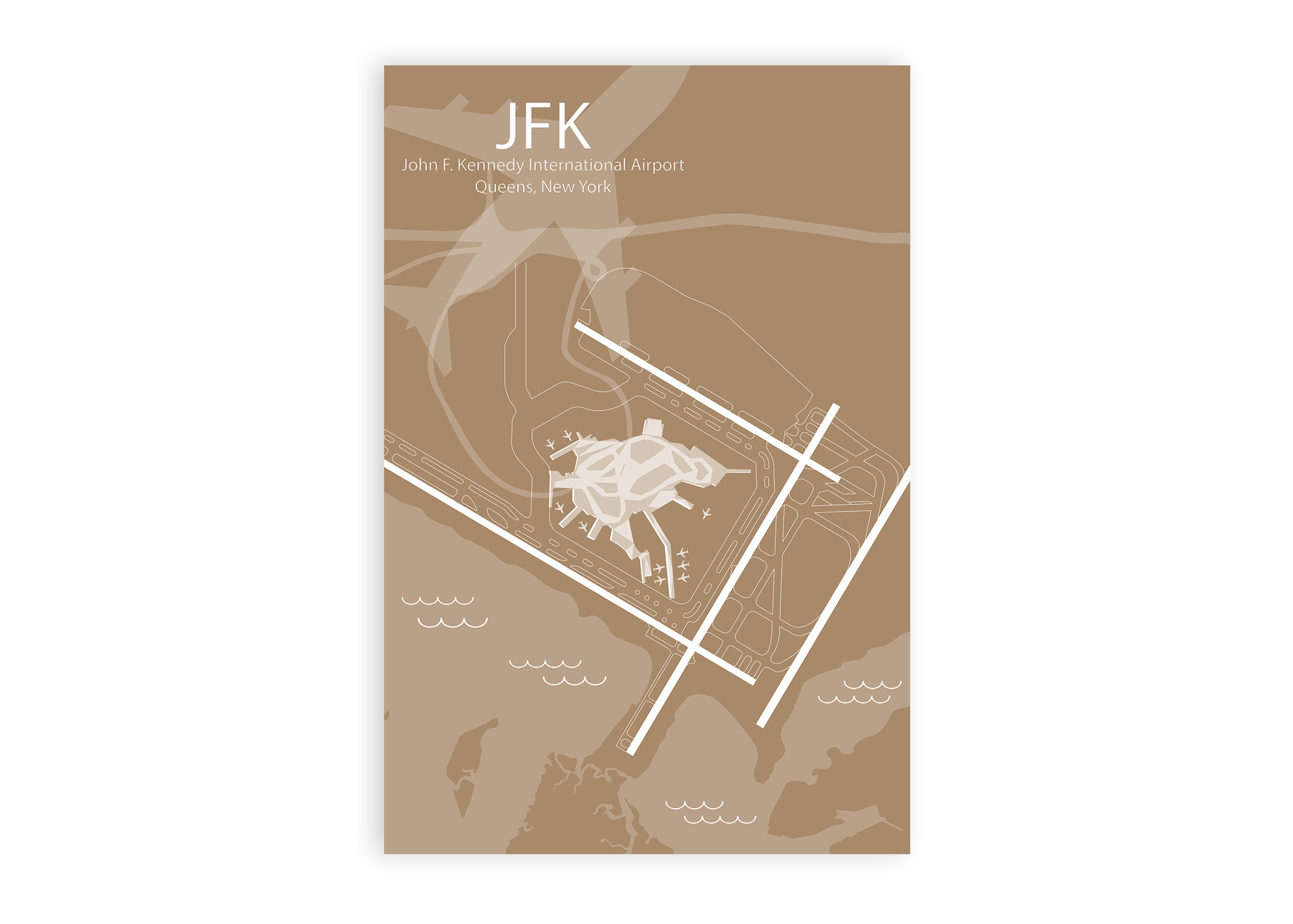
When flying in and out of JFK, passengers can get a bird’s eye view of Ellis Island, the Statue of Liberty, Manhattan’s tall buildings, Long Island, the waterways around New York Harbor and the long span of New York boroughs including Queens (location of JFK), Brooklyn, Staten Island, Manhattan, and the Bronx.
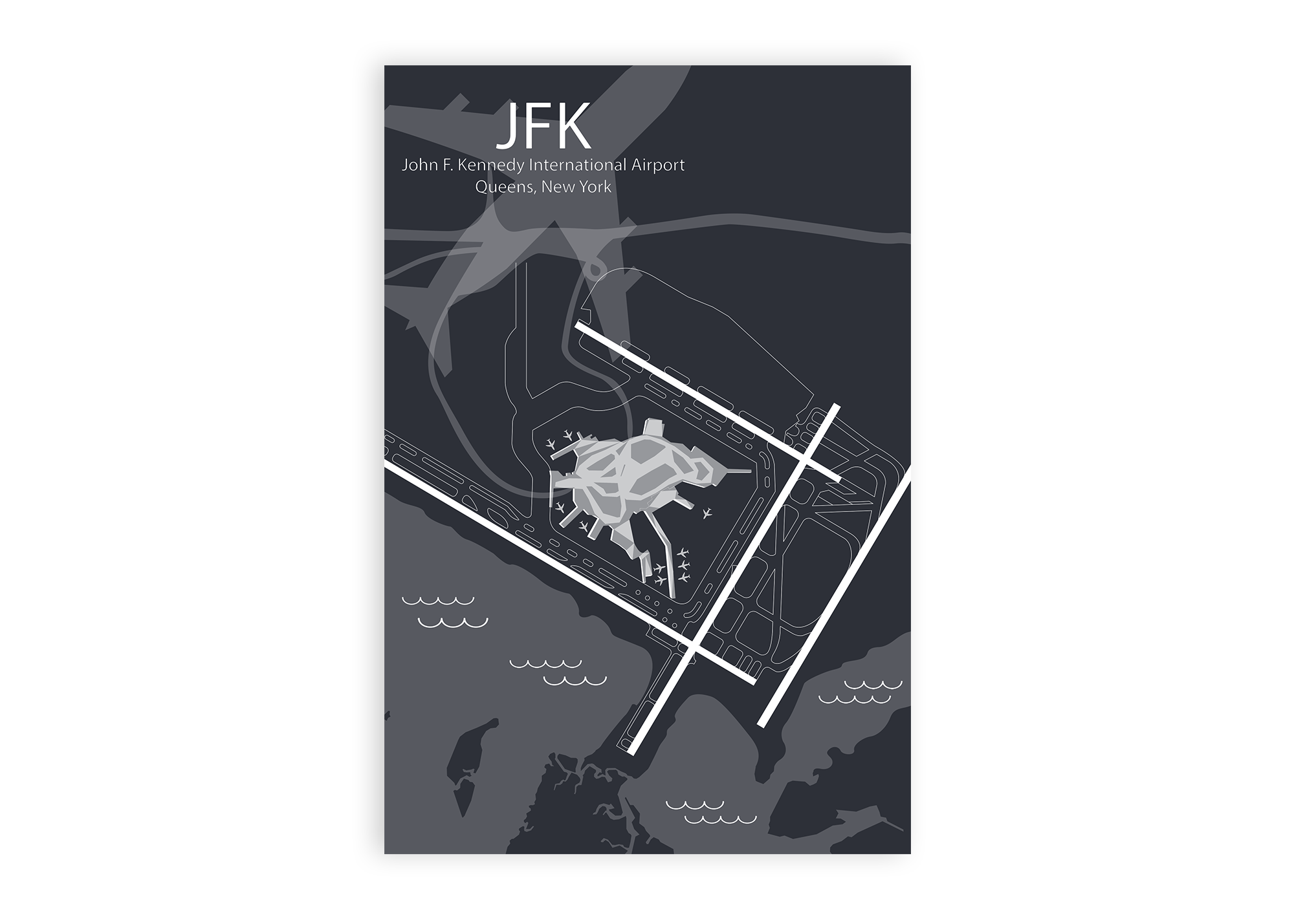
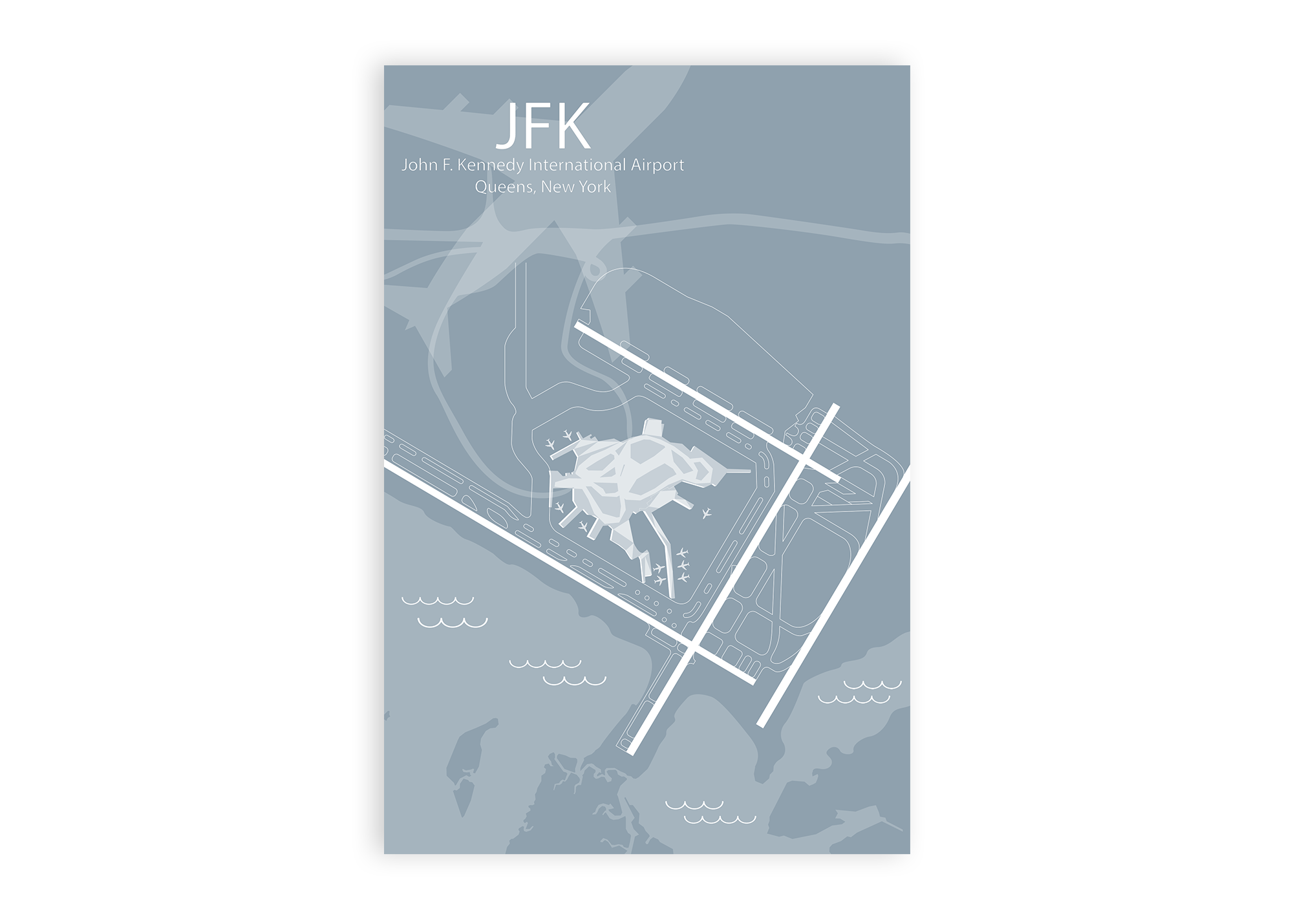
Our JFK Airport Runway Diagram Wall Art features accurate GIS mapping technology, unique artist effects, terminals, and impressive details that are fun to explore. This airport map will delight you and your walls with happy memories of your travels and adventures.
About The Map: At GeoJango, we are experts in GIS and developing accurate maps. We use satellite imagery and GIS modeling techniques to accurately model the layout and composition of each airport. We take great care in modeling the airport runways, infrastructure, terminals, and surrounding landscape. We capture accurate runway orientations, lengths, and landscape features to scale - however the maps are not intended for navigation purposes. For a unique touch, we combine professional GIS, cartography, 3D illustration, and artistry to highlight the features of each airport. The result: impressive illustrations of each airport that is fun to explore and beautiful to display!
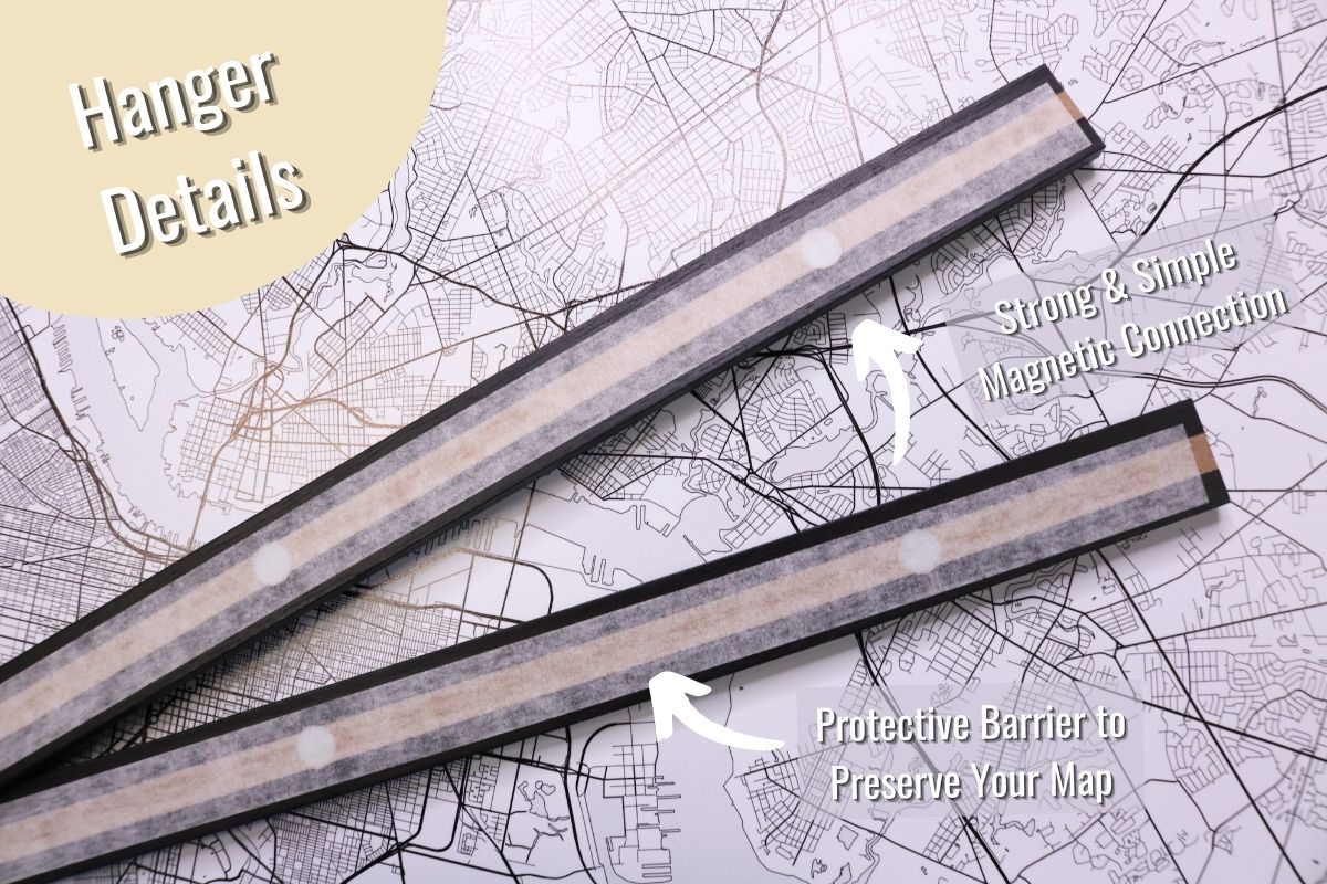
Unframed print and fits in standard frames. Includes clear sturdy tube for each map, a $4 value that is included in the wholesale price. This map is very light-weight, will not crush, and fits in a suitcase for easy travel.
Initial Orders Only: One Free Mounted Display Map & About the Map Sign with orders over $500.
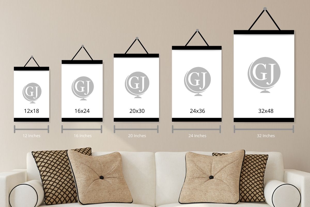
24x16" Map (Case of 12)
Single Value: $15 WSP / $38 MSRP
Case Value: $180 WSP / $1,200 MSRP
Individual Tube size: 2" x 20", weight: 8 oz


