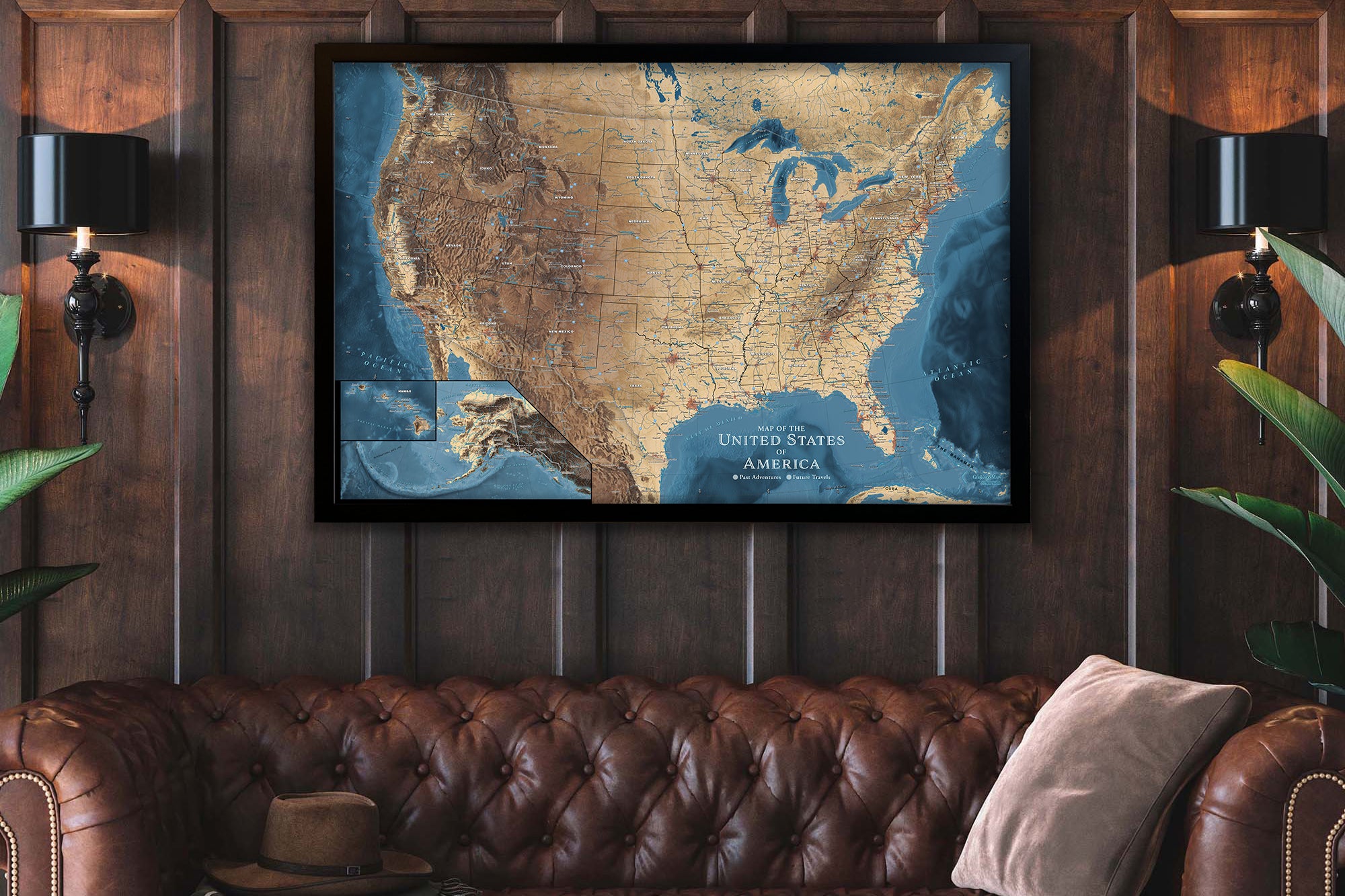
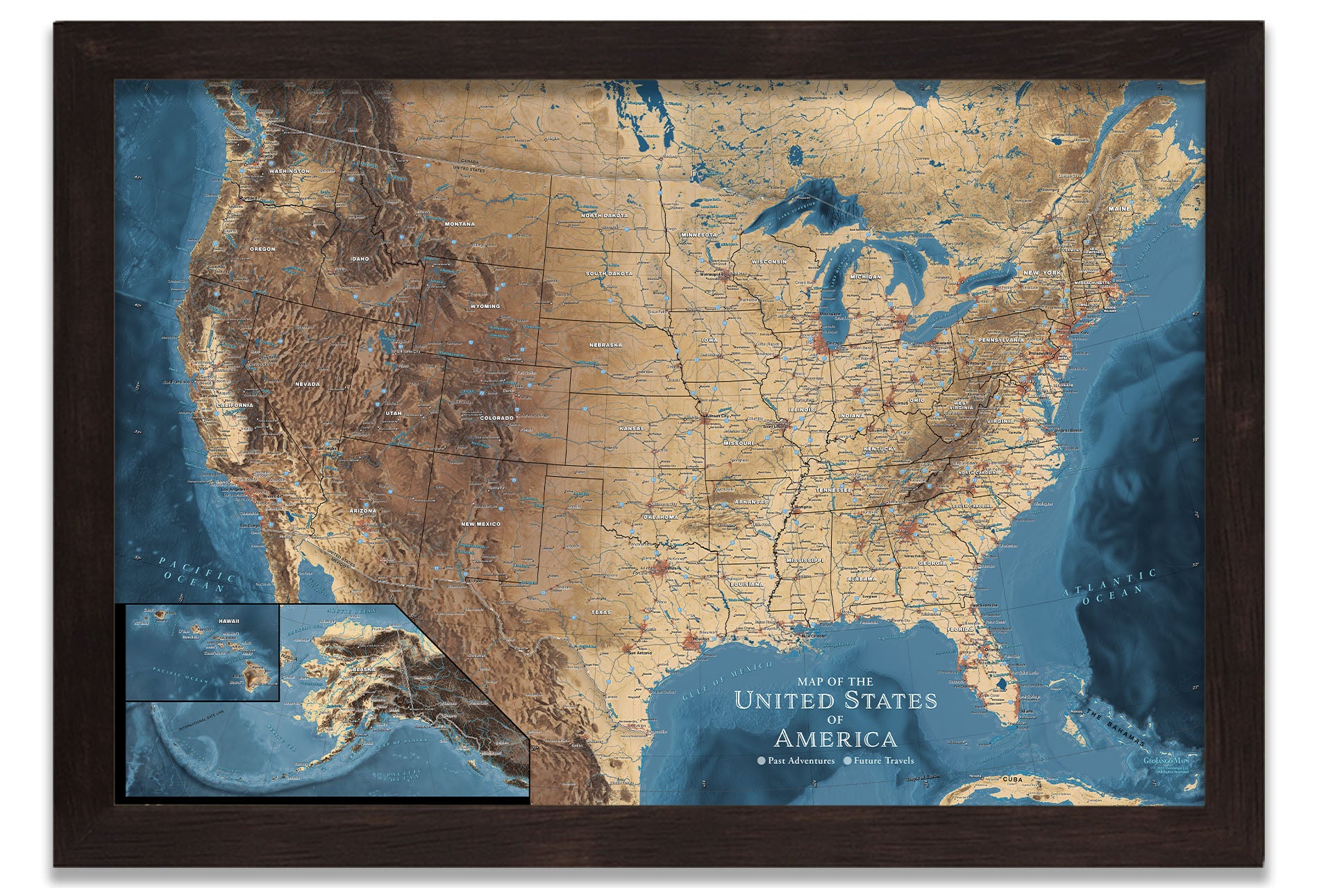
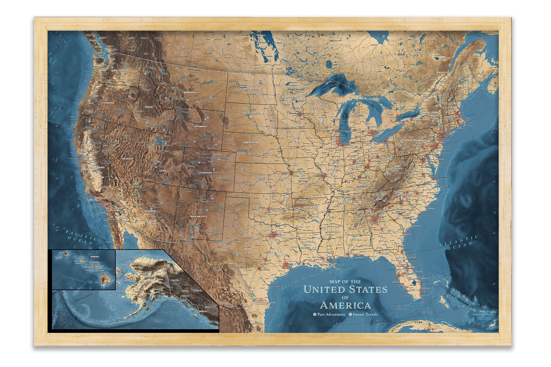
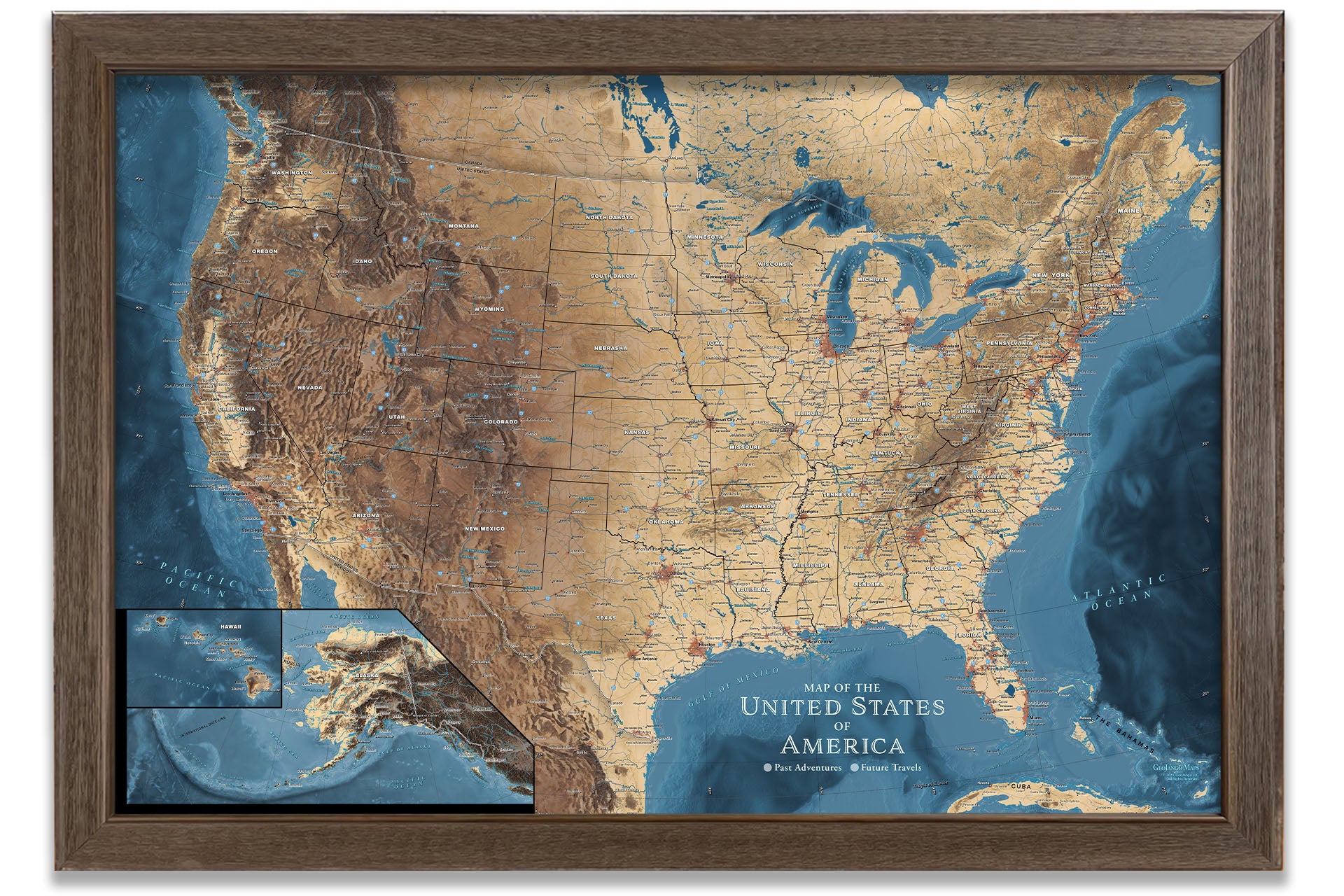
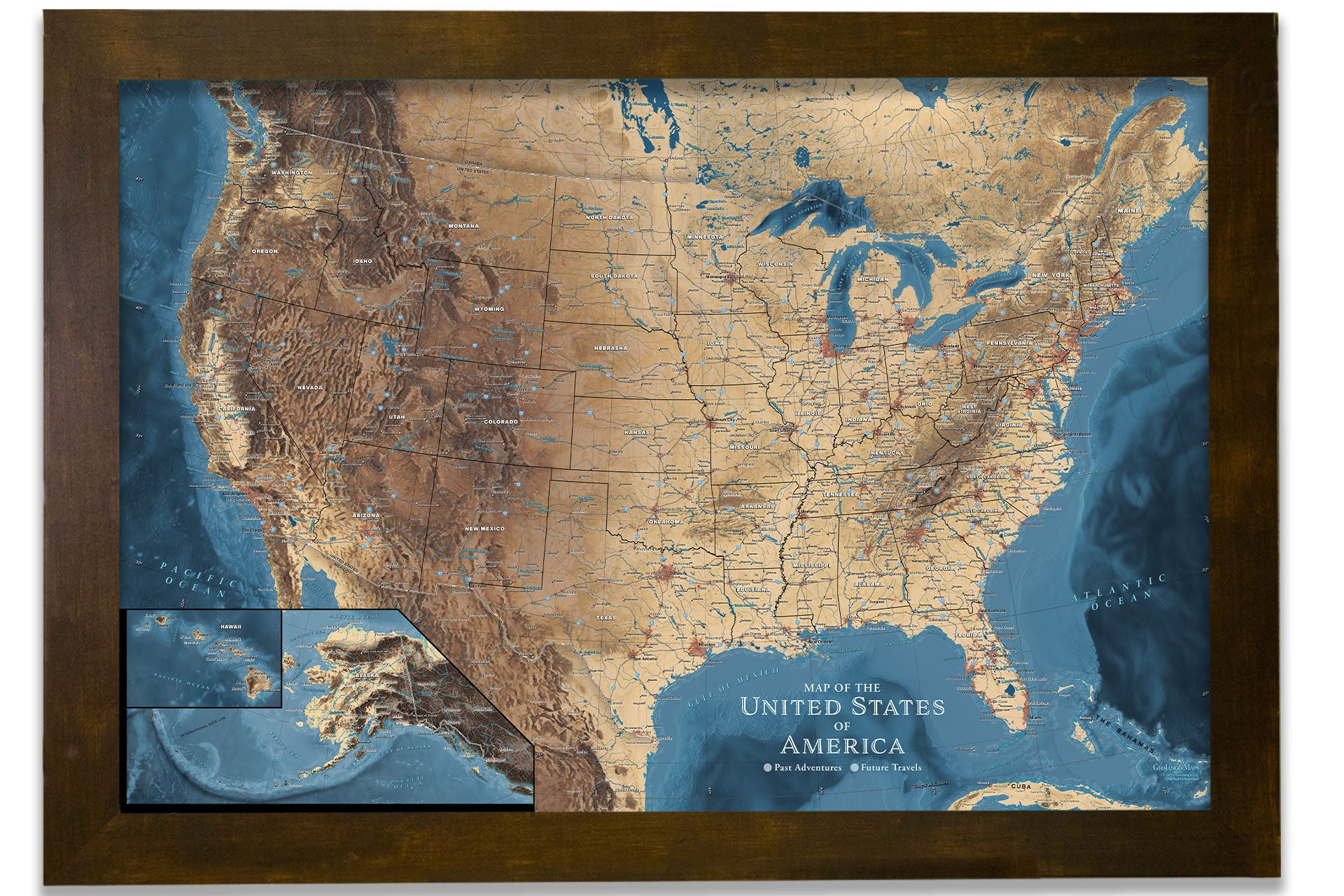
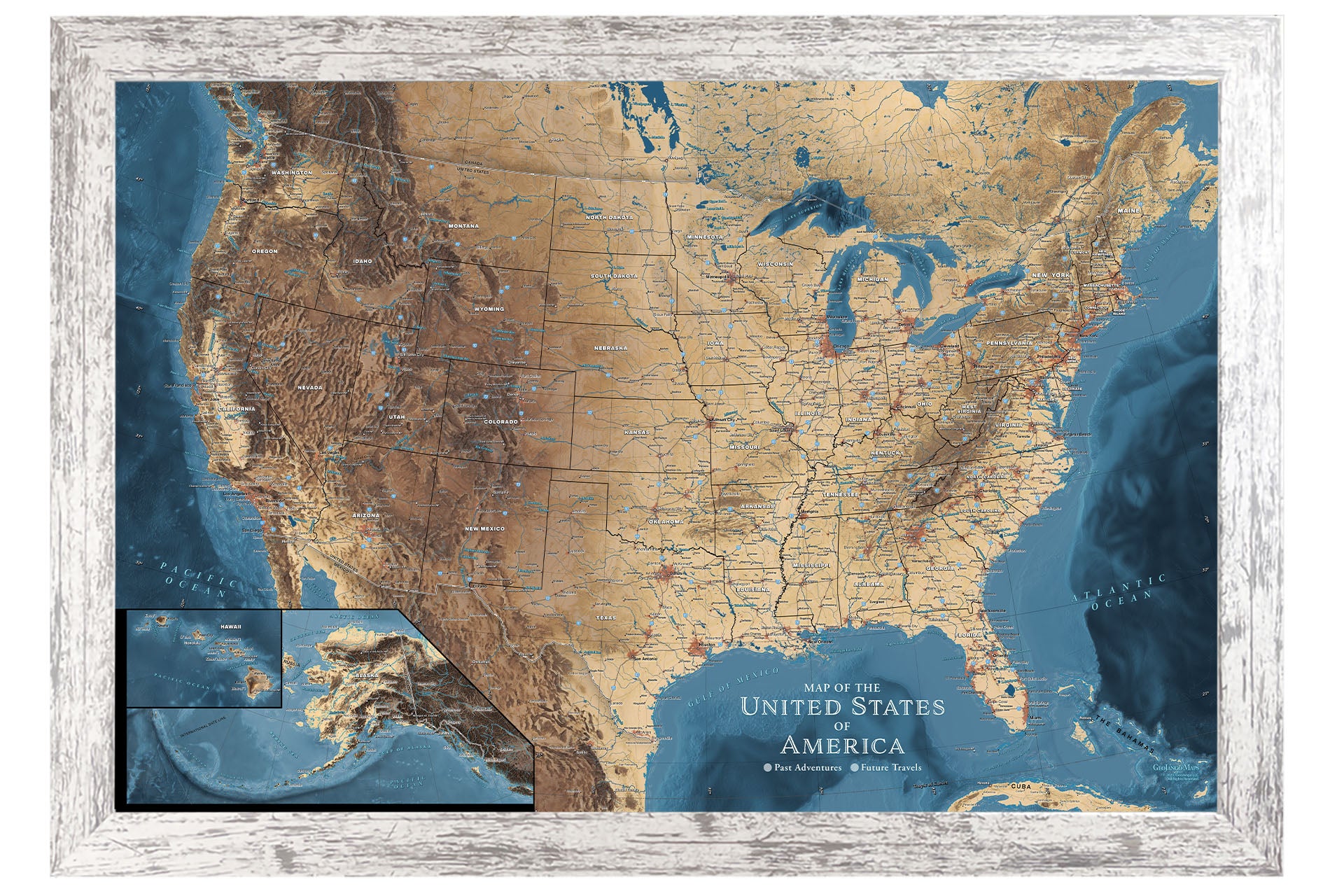
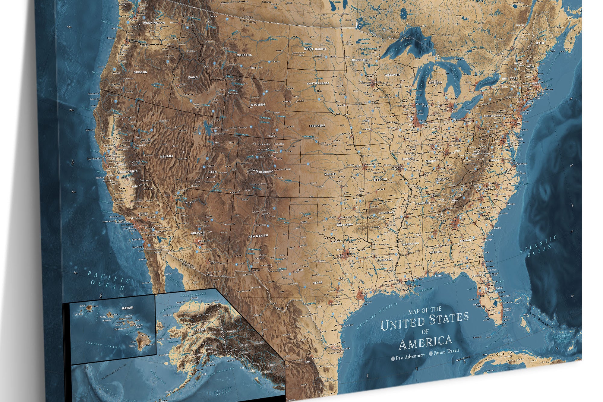
National Parks Checklist Map- White Push Pin USA Map

Rated 5.0 out of 5
Based on 9 reviews
$49.00

Complimentary U.S Shipping

Quality & Happiness Guarantee

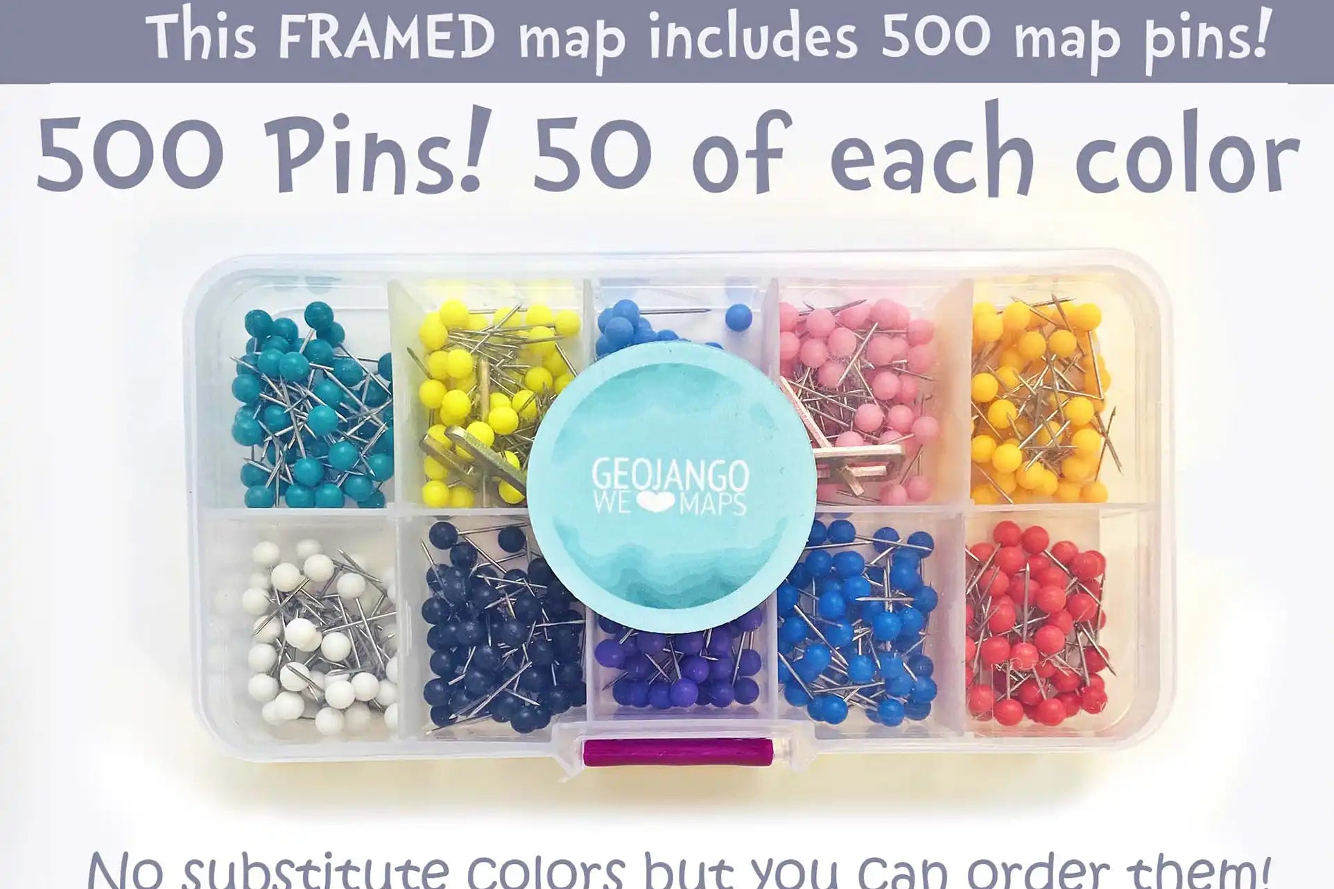
500 Pins Included With Framed Maps

Made In USA (Pleasanton, CA)

National Parks Checklist Map

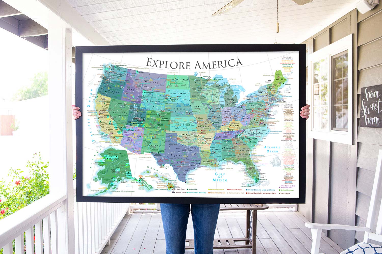
Introducing our National Parks Checklist Map – the perfect way to discover the natural treasures in the United States!

Whether you're an outdoor enthusiast, RV traveler or camper, history and geography lover, or want to explore the rich history and culture of America, this map will be a delight to explore.

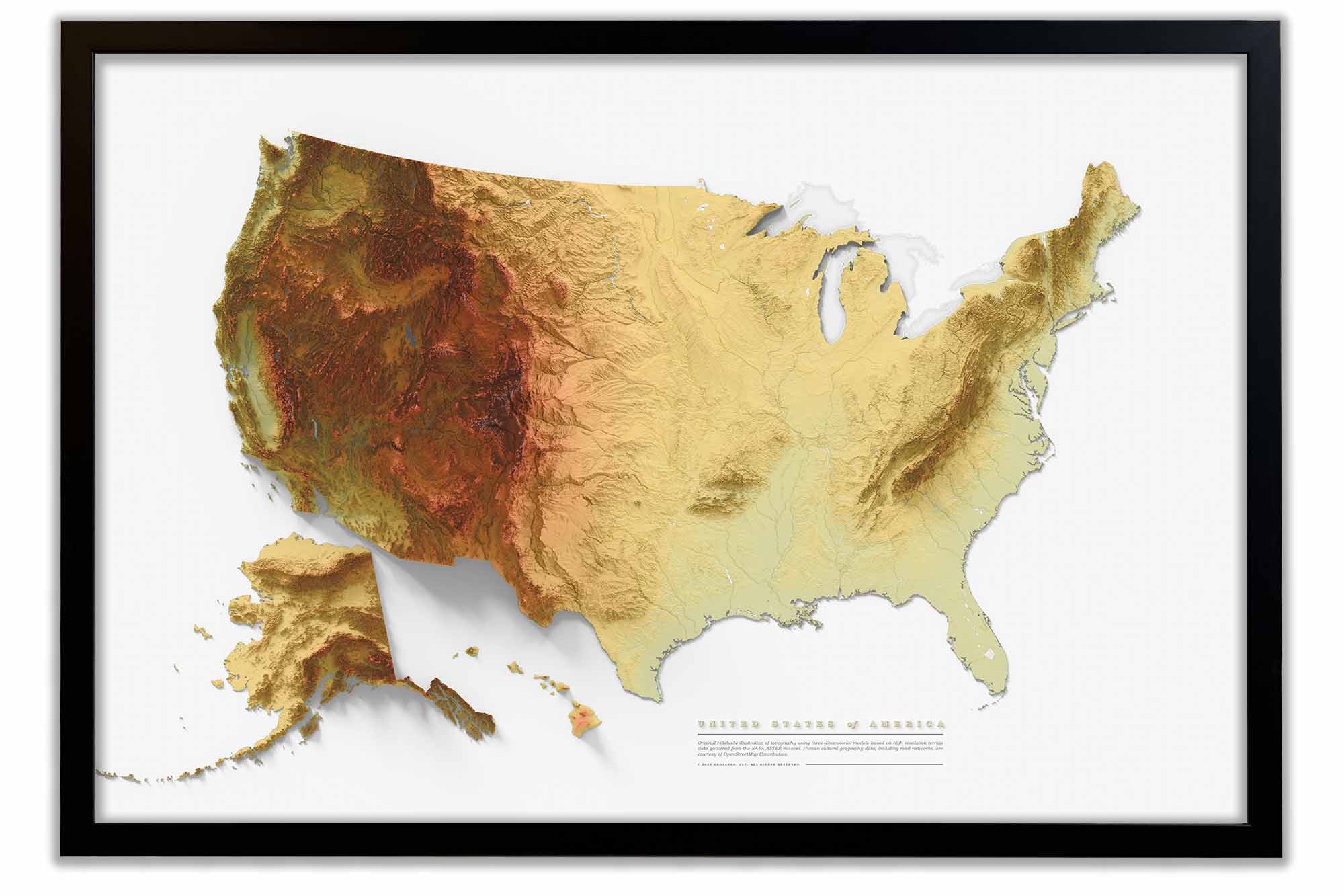
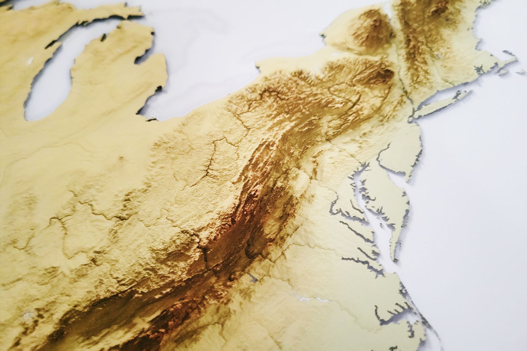
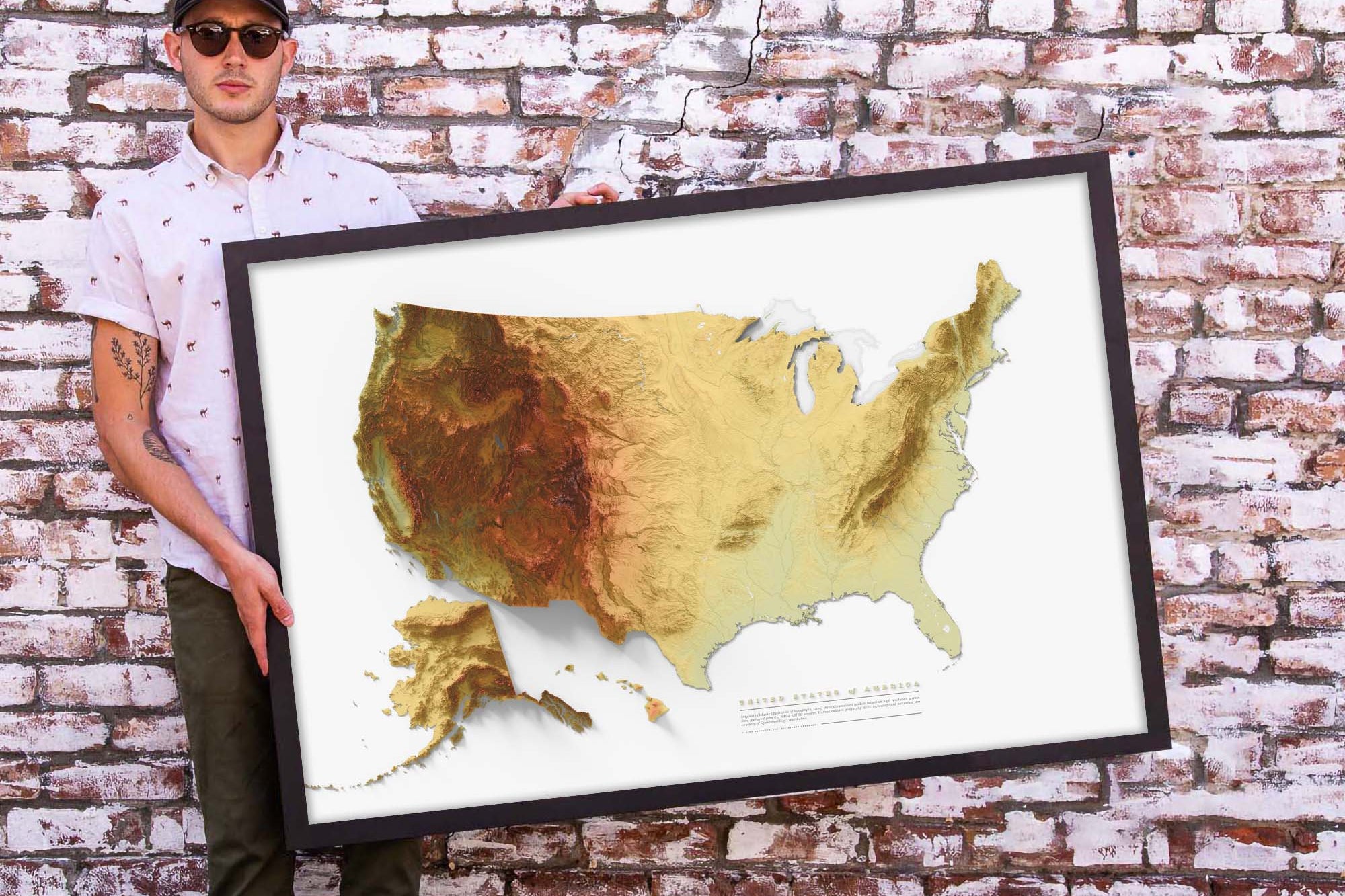
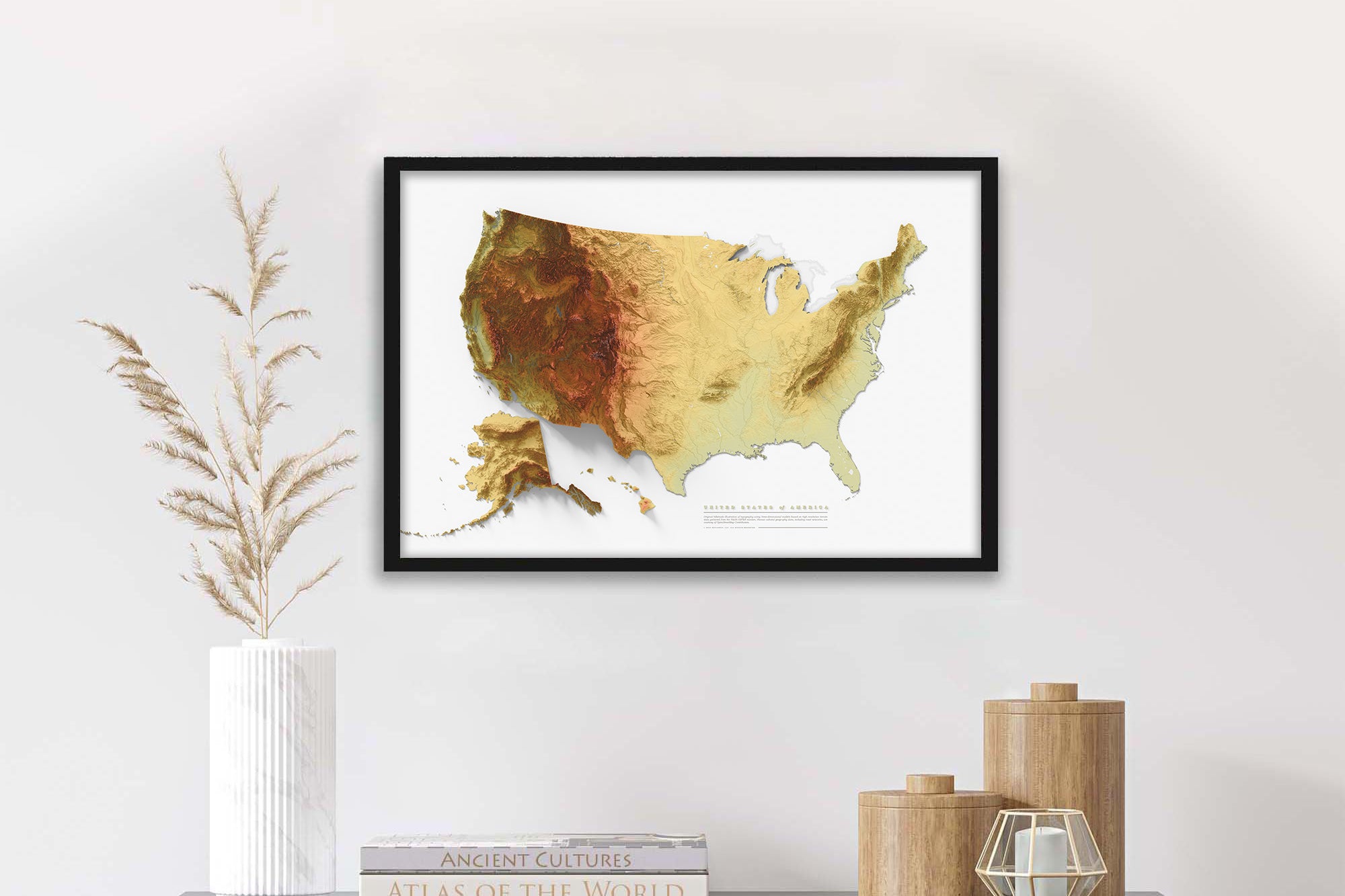
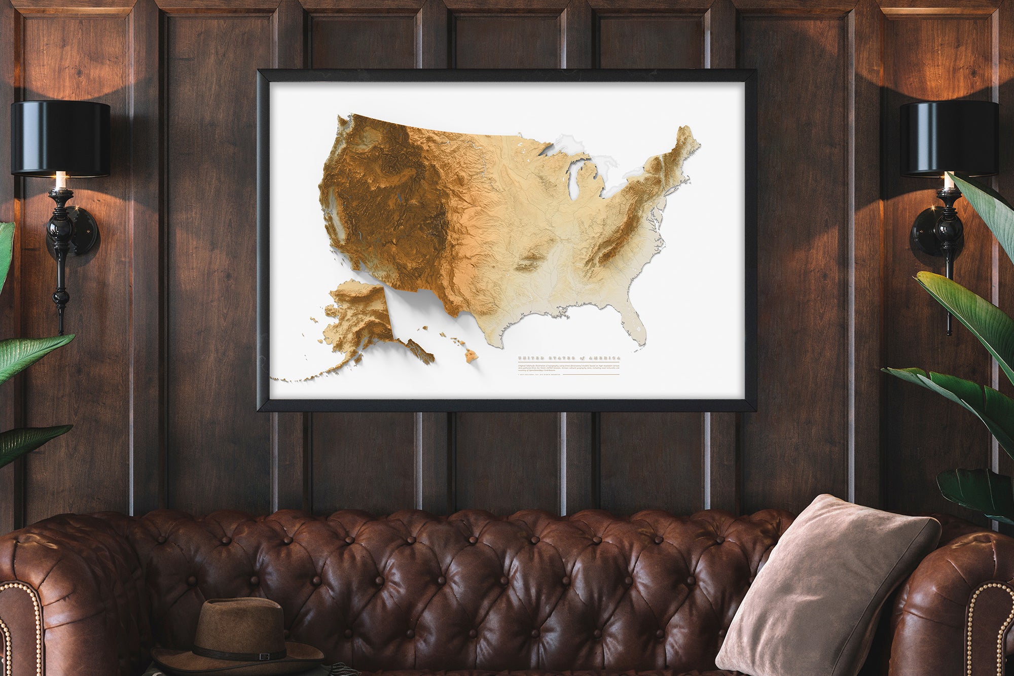
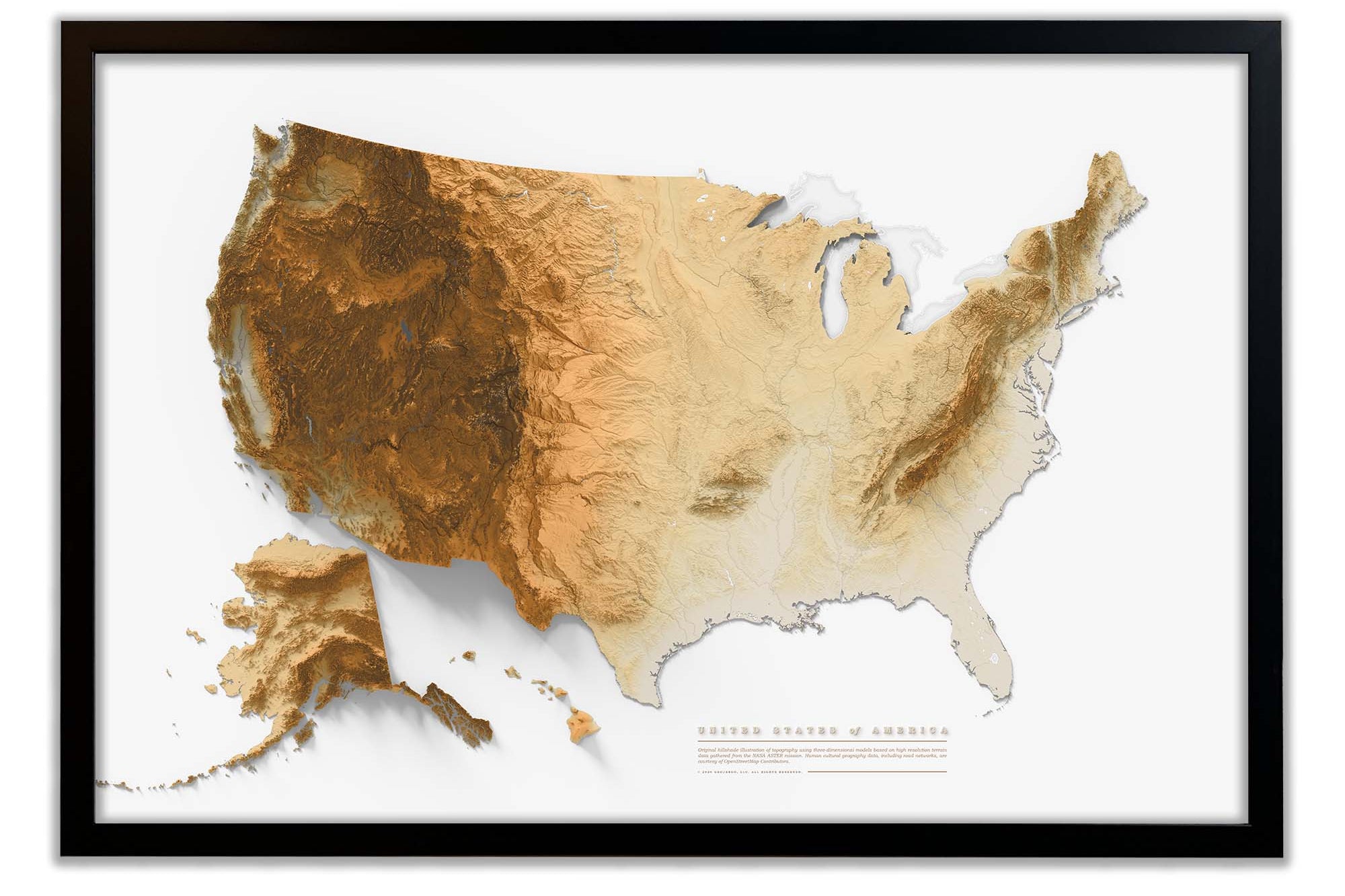
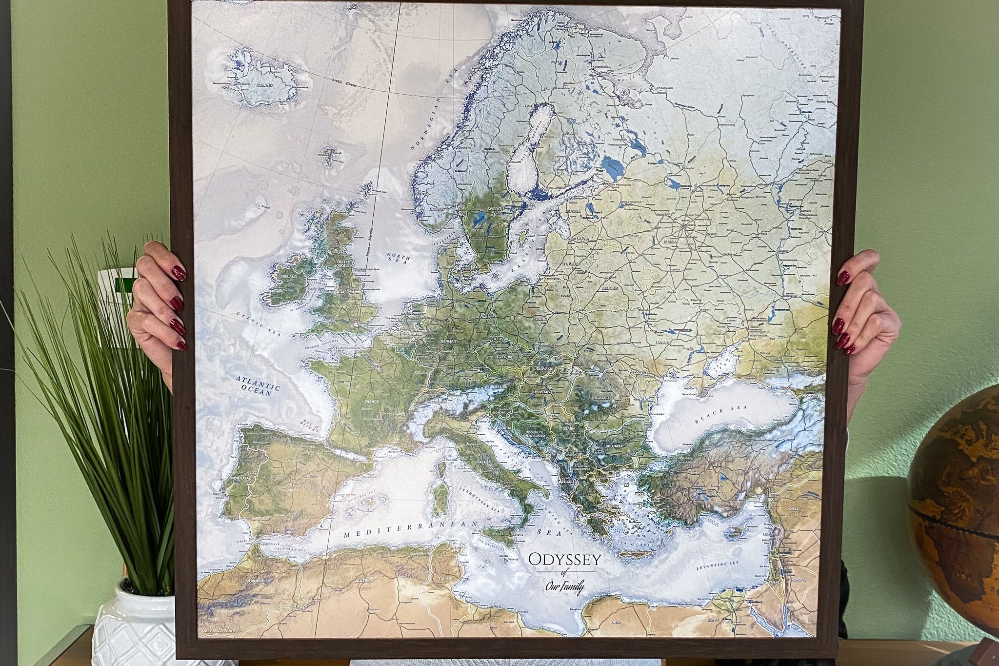
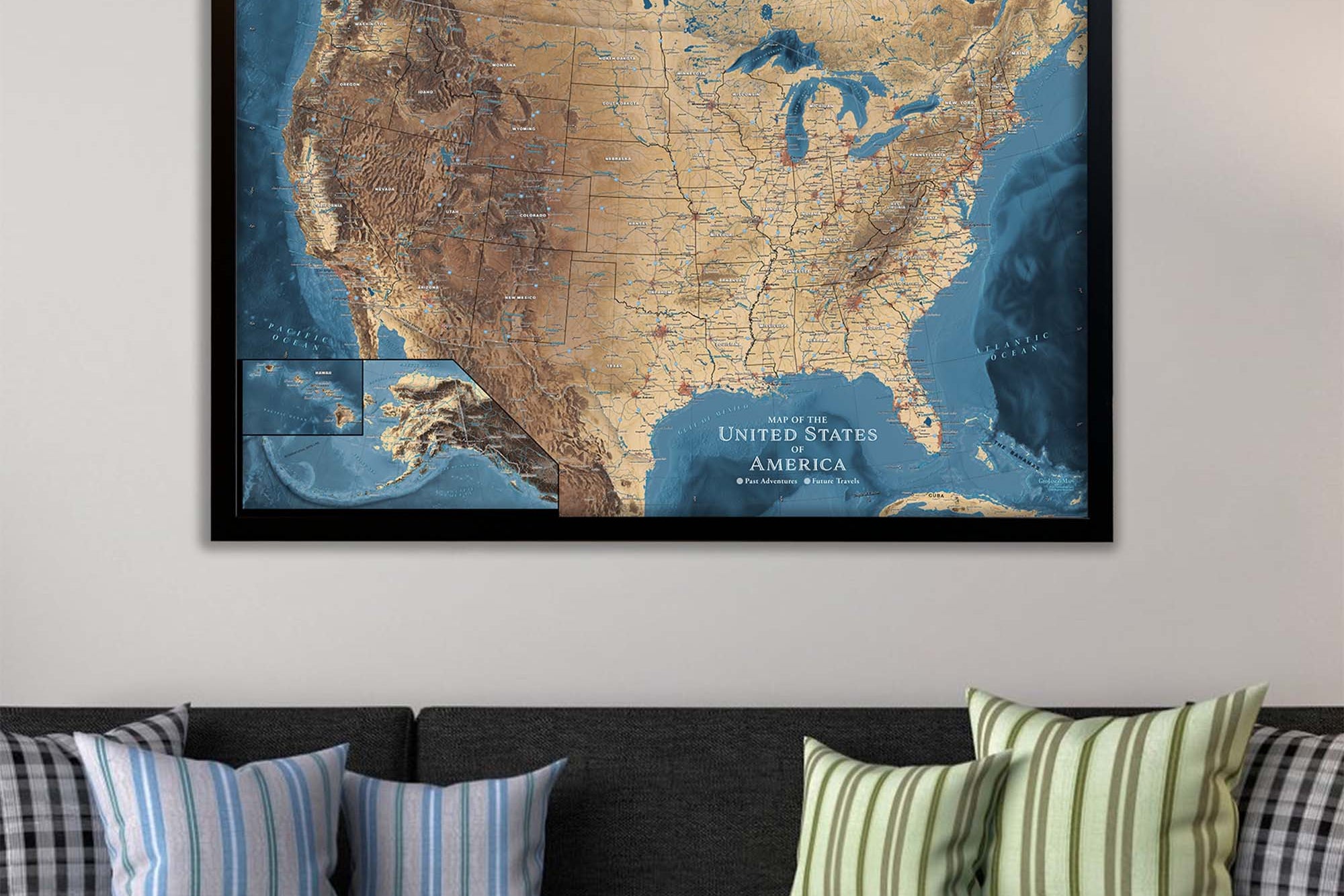
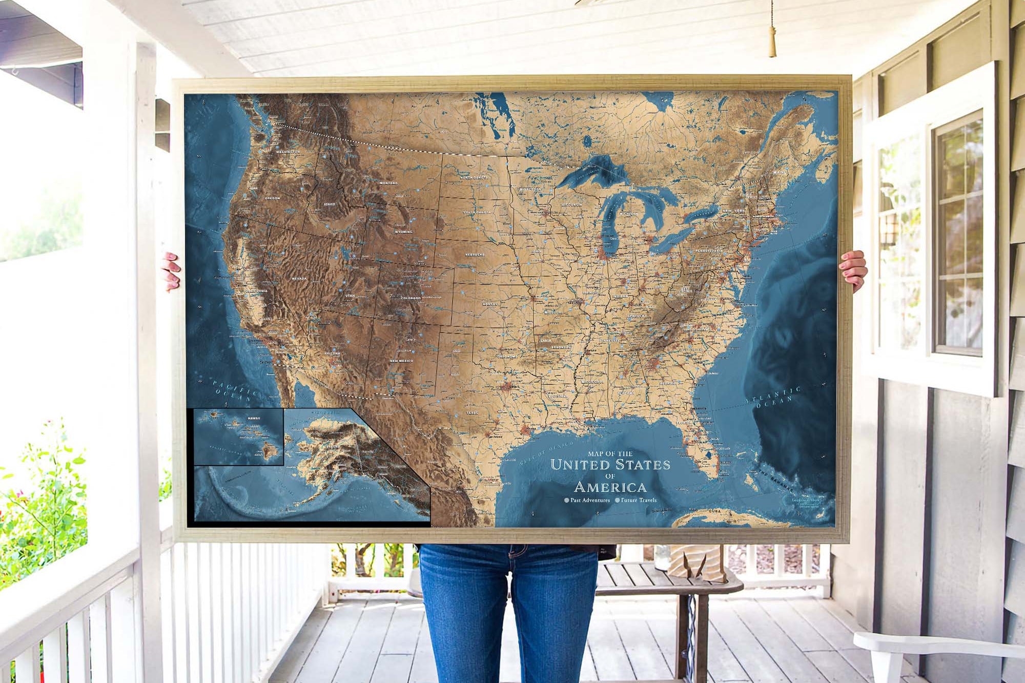
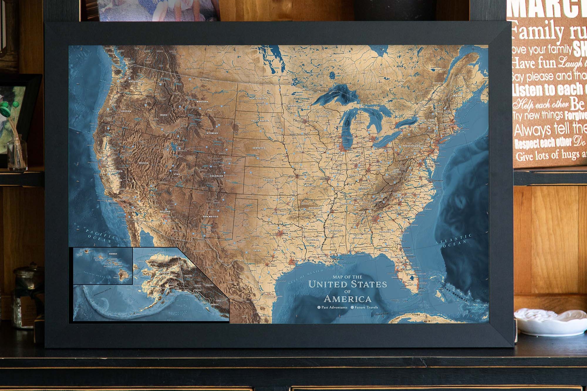
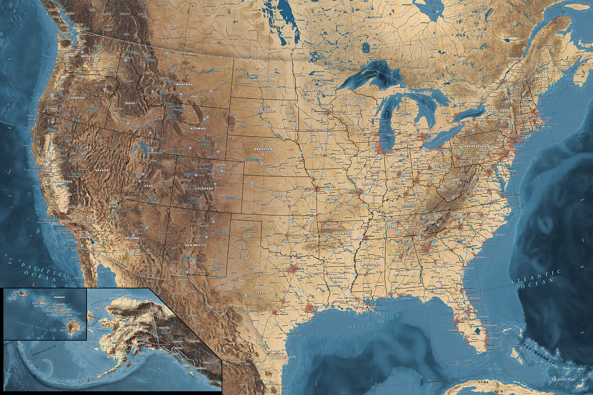
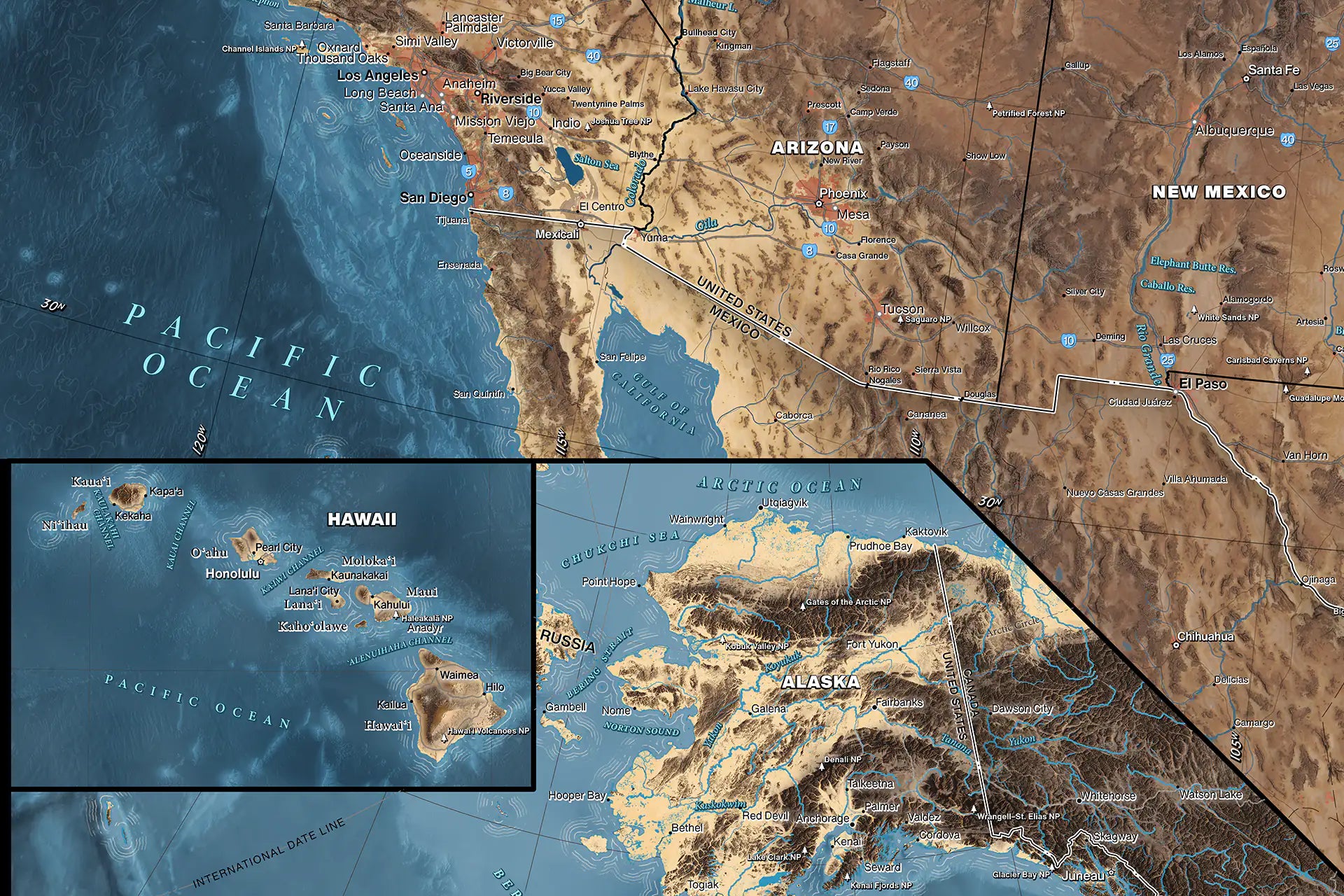
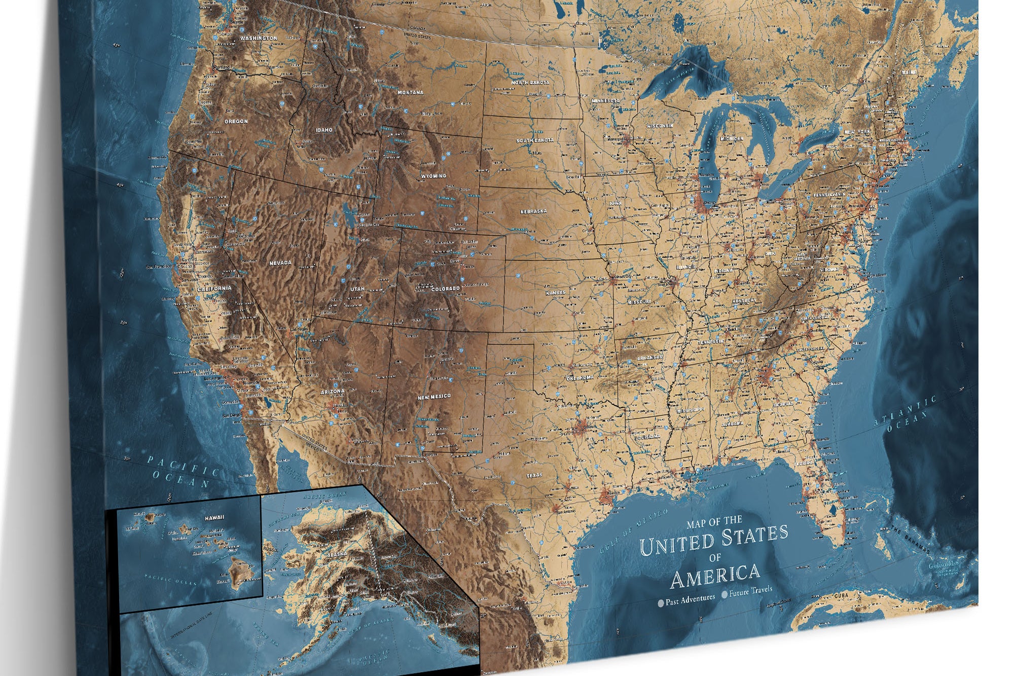
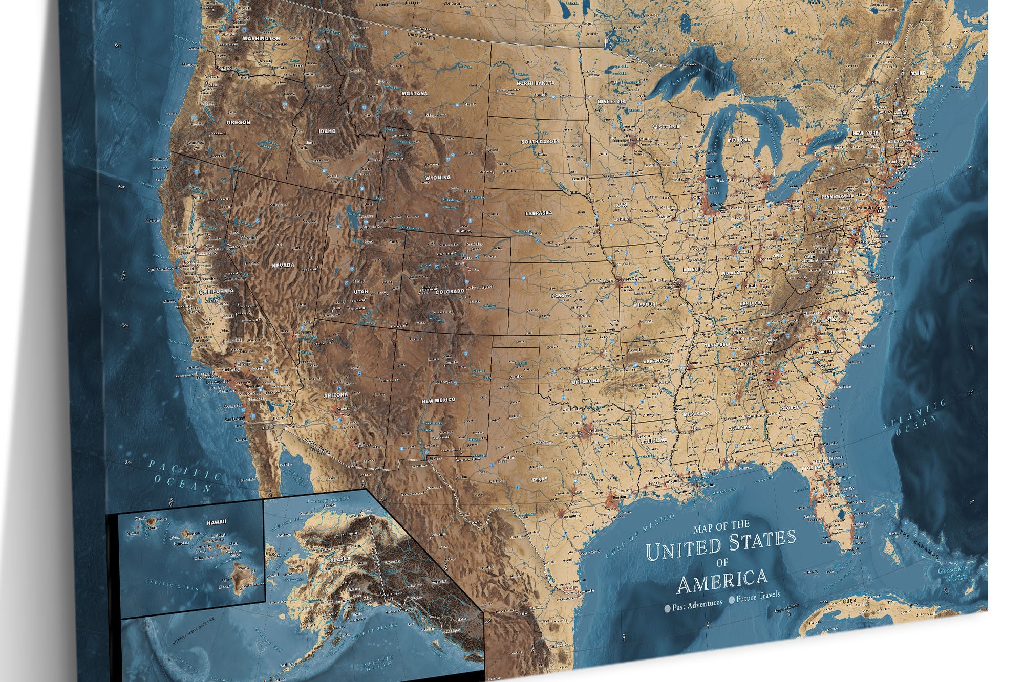
About The Map:  Our Explore America USA Push Pin Map White Edition is THE most detailed USA National Parks List Map available anywhere! This unique USA Travel Map features all of the National Park Service (NPS) Parks, Historical Parks, National Monuments, Battlefields, Lake shores, Preserves, and other fascinating destination spots preserved for our nation. Embark on a captivating journey across the United States with our USA Push Pin Map — a fusion of artistic elegance and geographic functionality. Explore the unique features that make this map an essential companion for your travel and exploration

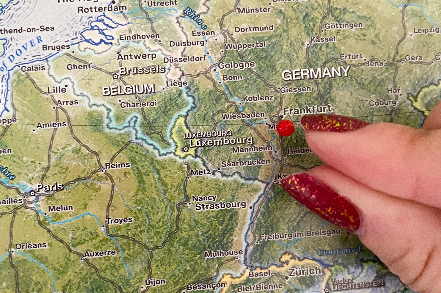
Created by a professional geographer/cartographer, the research and design for this USA Travel Map took over a year. We worked with official National Park Service data to uniquely display and reference ALL of the 600+ sites in the USA. Every reference has been thoroughly researched, symbolized, and carefully labeled on the map. A unique referencing system has been developed for areas that have many NPS sites and a unique colored coded label system has been created on the side.

Our USA Pin Maps are truly one of a kind. Each map includes fascinating details that encourage exploration and self-discovery.

Map Features:

Detailed Cities & Significant Locations: Immerse yourself in the intricacies of American cities and discover noteworthy locations that define the nation's diverse landscape.

USA Highways and Major Rivers: Navigate the vast network of USA highways and follow the meandering paths of major rivers, revealing the intricate connectivity of the country.

USA State Capitals: Pinpoint the political and cultural hubs of each state, adding a layer of depth to your exploration.

Over 600 National Park Service Sites: Explore the natural wonders of the USA with over 600 National Park Service Sites, including all 63 National Parks operational as of 2023.

National Forests: Uncover the expansive beauty of national forests, showcasing the country's rich biodiversity.

Historical Cities: Dive into the historical richness of American cities, tracing the footsteps of the past.

NASA Visitor Centers: Connect with the marvels of space exploration by marking NASA Visitor Centers across the country.

Extraordinary Places: Highlight iconic landmarks such as the Golden Gate Bridge, Hoover Dam, Niagara Falls, and more, celebrating the extraordinary diversity of the USA.

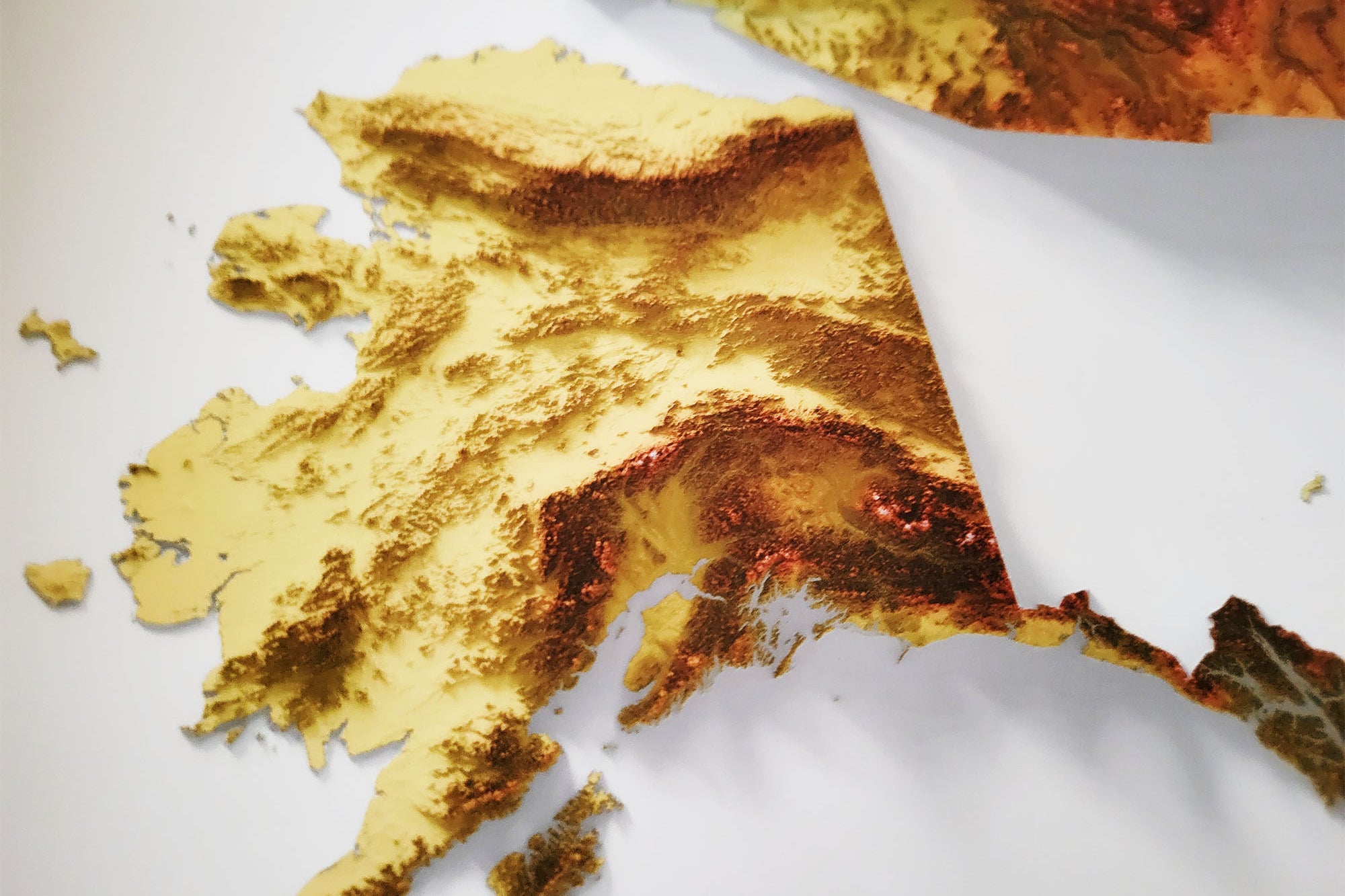
Tallest Elevation in Every State: Ascend to new heights as you explore the tallest elevation in each state, numbered from the towering peak in Alaska to the subtle elevation in Florida.

10 Most Climbed Peaks: Challenge your adventurous spirit by exploring the ten most climbed peaks in the U.S.A., complete with peak names and elevations in feet.

●●● National Scenic Trails: For hiking enthusiasts, scout out the National Scenic Trails that crisscross the U.S.A., promising unforgettable journeys through breathtaking landscapes.

This USA Push Pin Map is not just a decorative piece; it's a dynamic canvas that invites you to chart your adventures, commemorate your travels, and celebrate the diverse tapestry of the United States. Elevate your space with a map that captures the essence of exploration and the beauty of the American landscape.

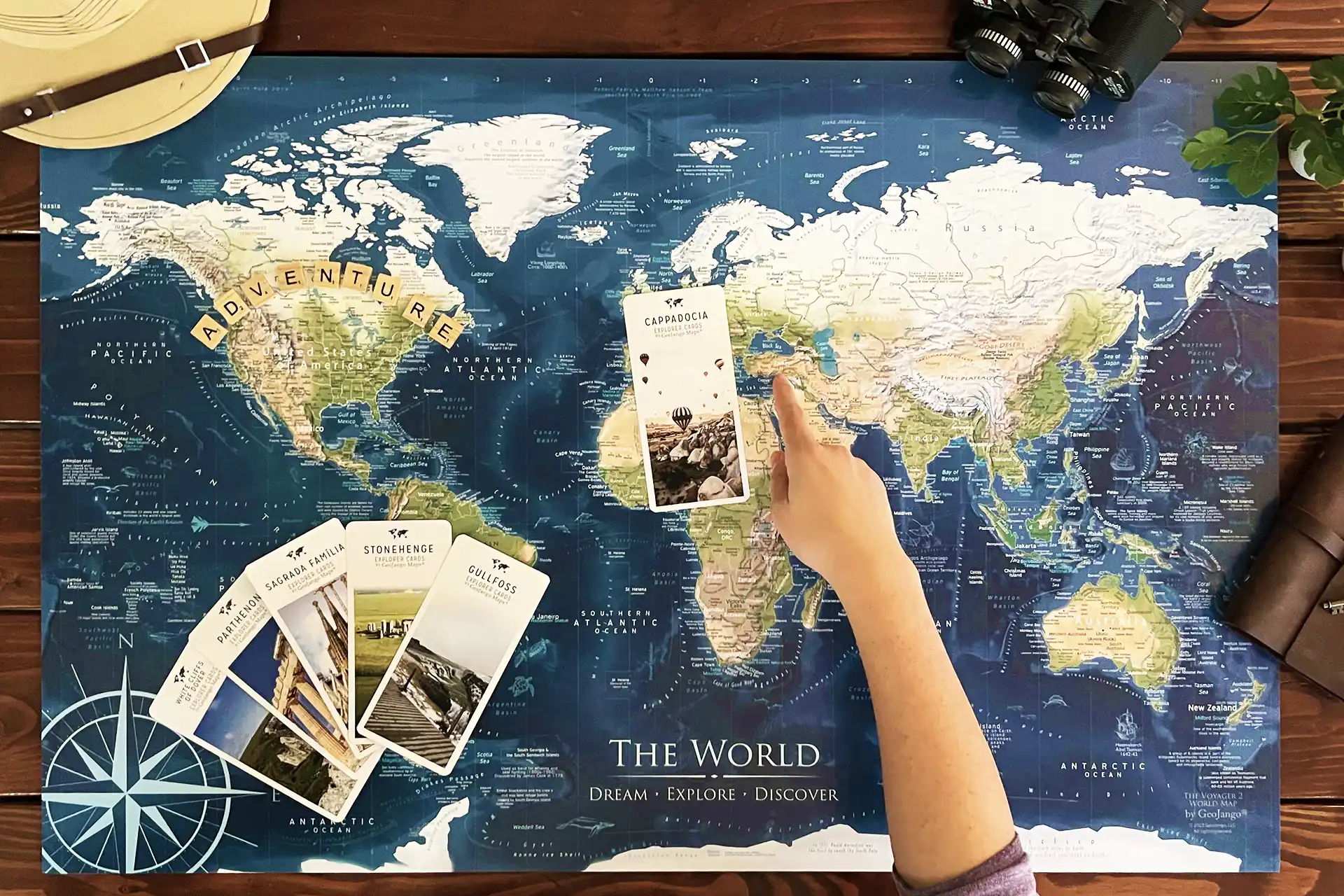
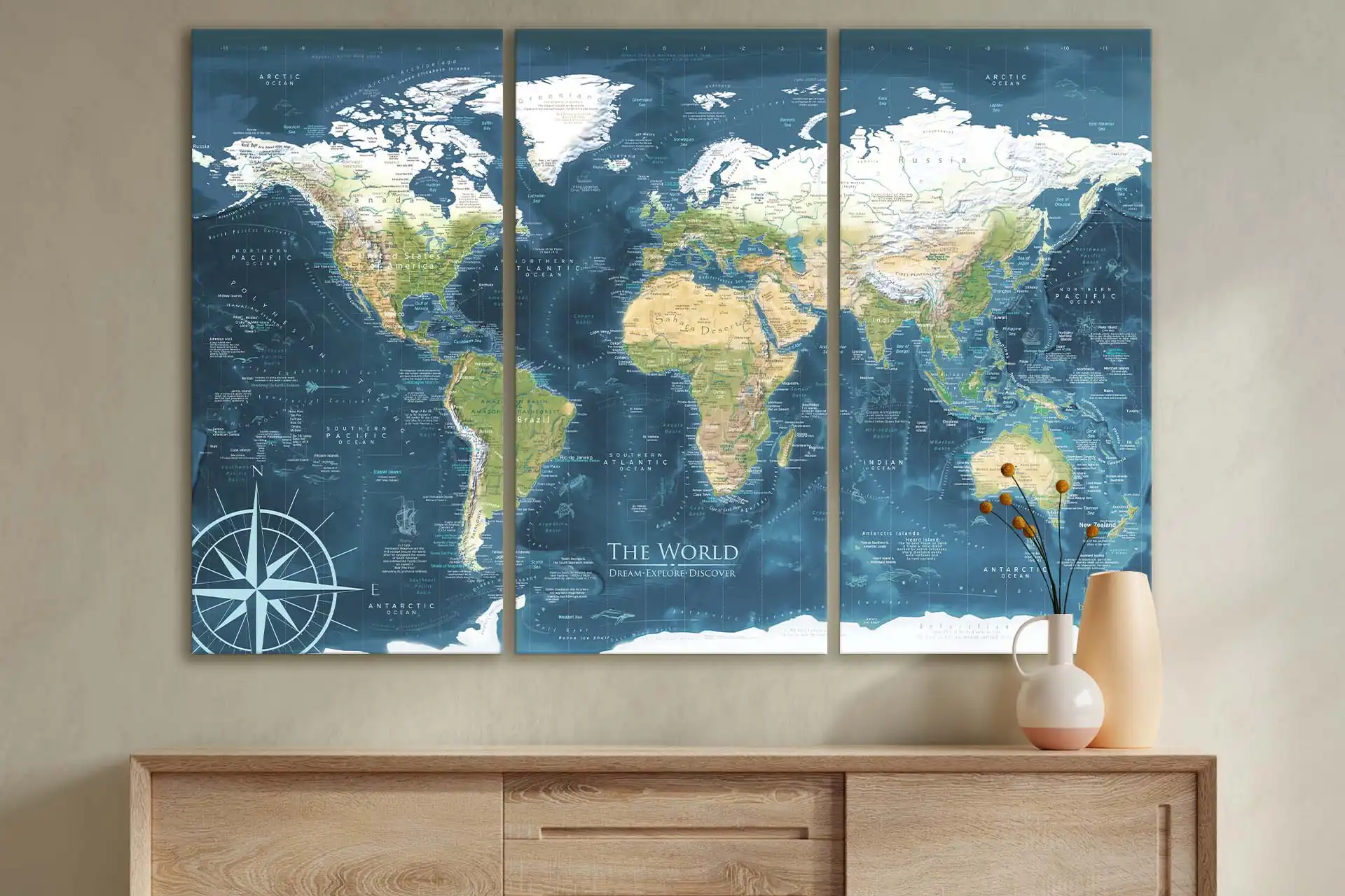
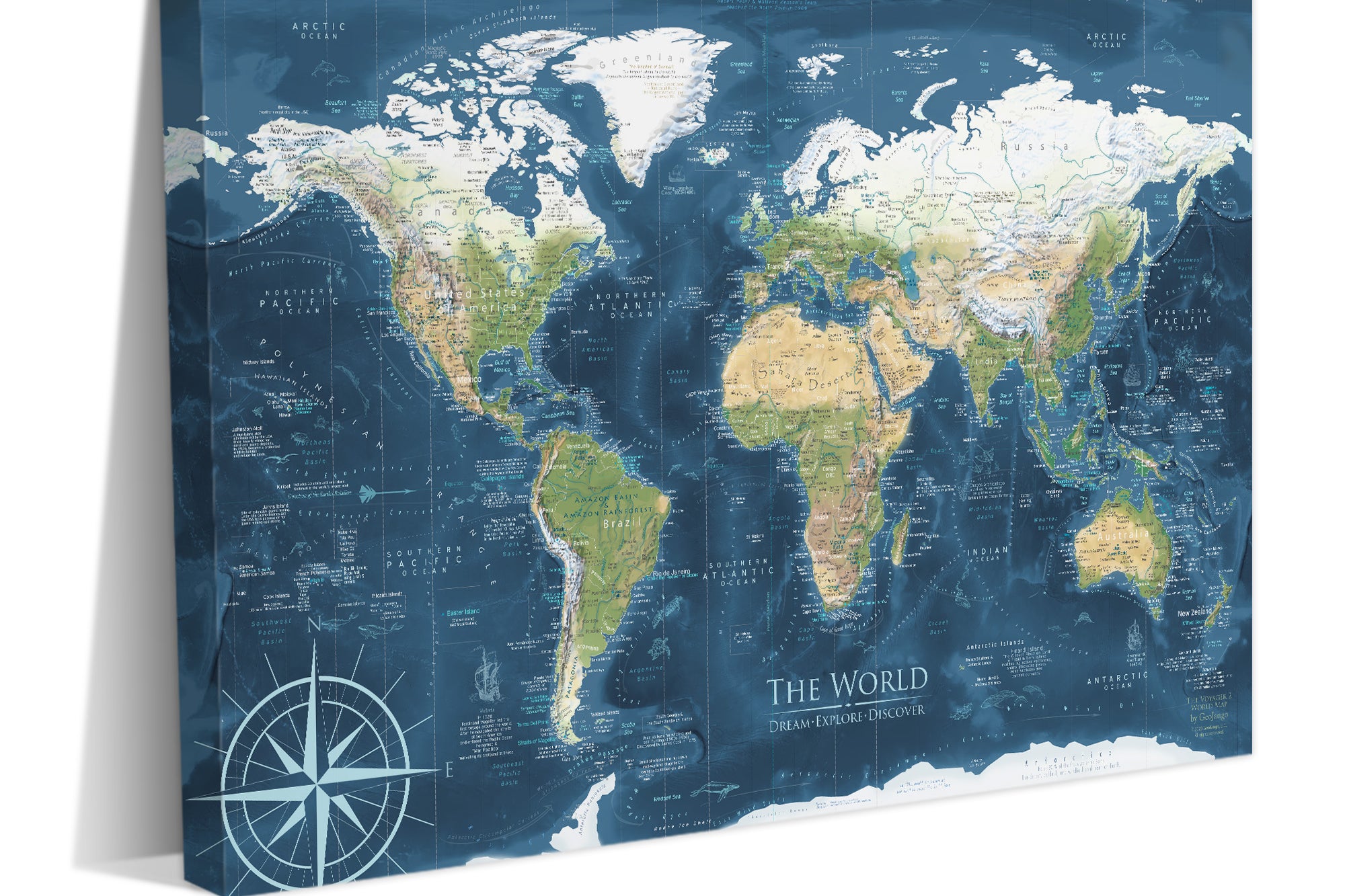
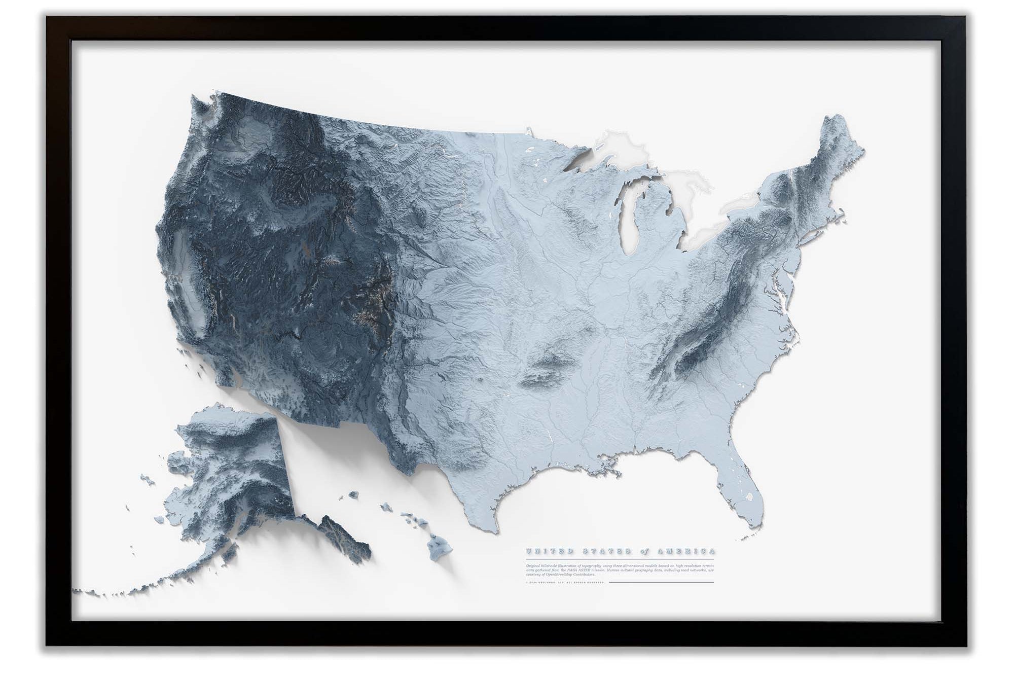
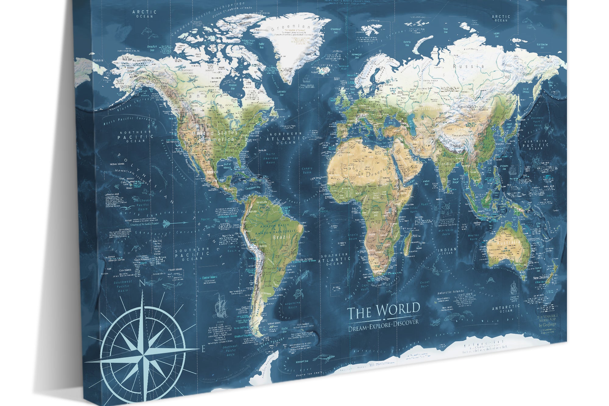
Coordinating World Map:  Pair this stunning USA Map with our Humboldt World Map. The two maps feature the same colors and will look great in the same room. You can find all of our World Maps within the Maps drop down menu at the top of our website.  

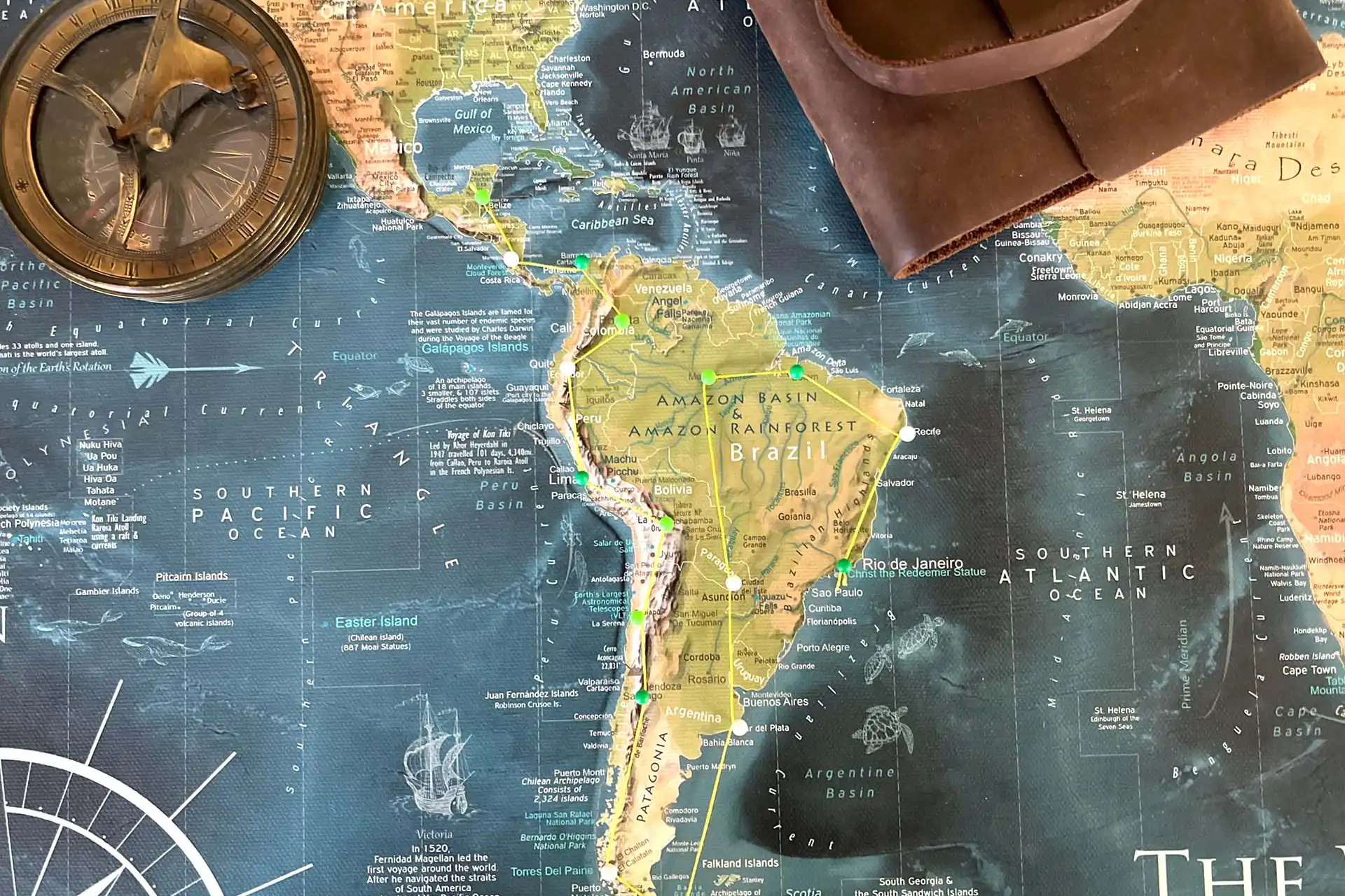
Applications: This USA Map is ideal for home and office decor as well as for tracking past travels with push pins and planning for future adventures.

A Great Gift for: Travelers, Adventures, and geography enthusiasts. An impressive wedding or anniversary gift for travel lovers. The content is recommended for adults and youth who would like to learn more about the world.

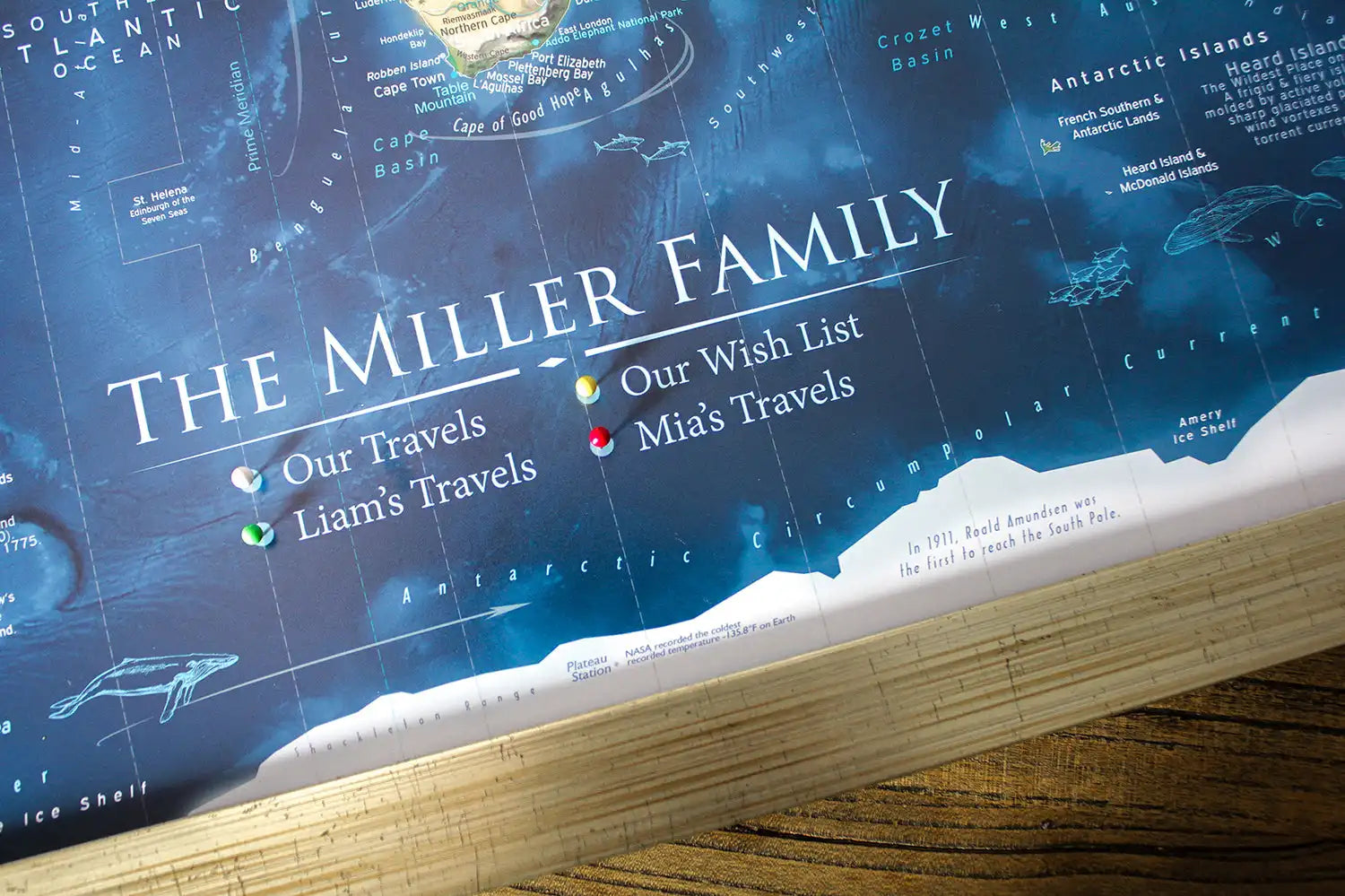
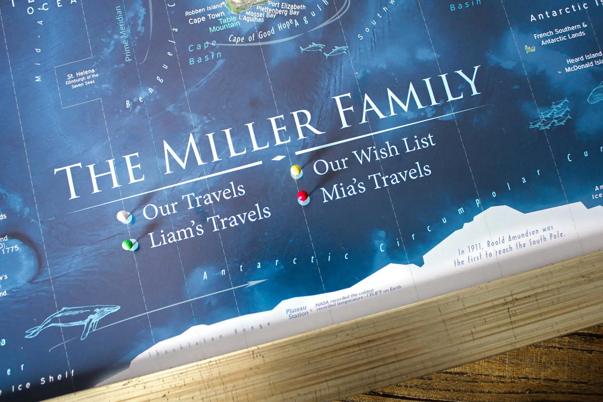
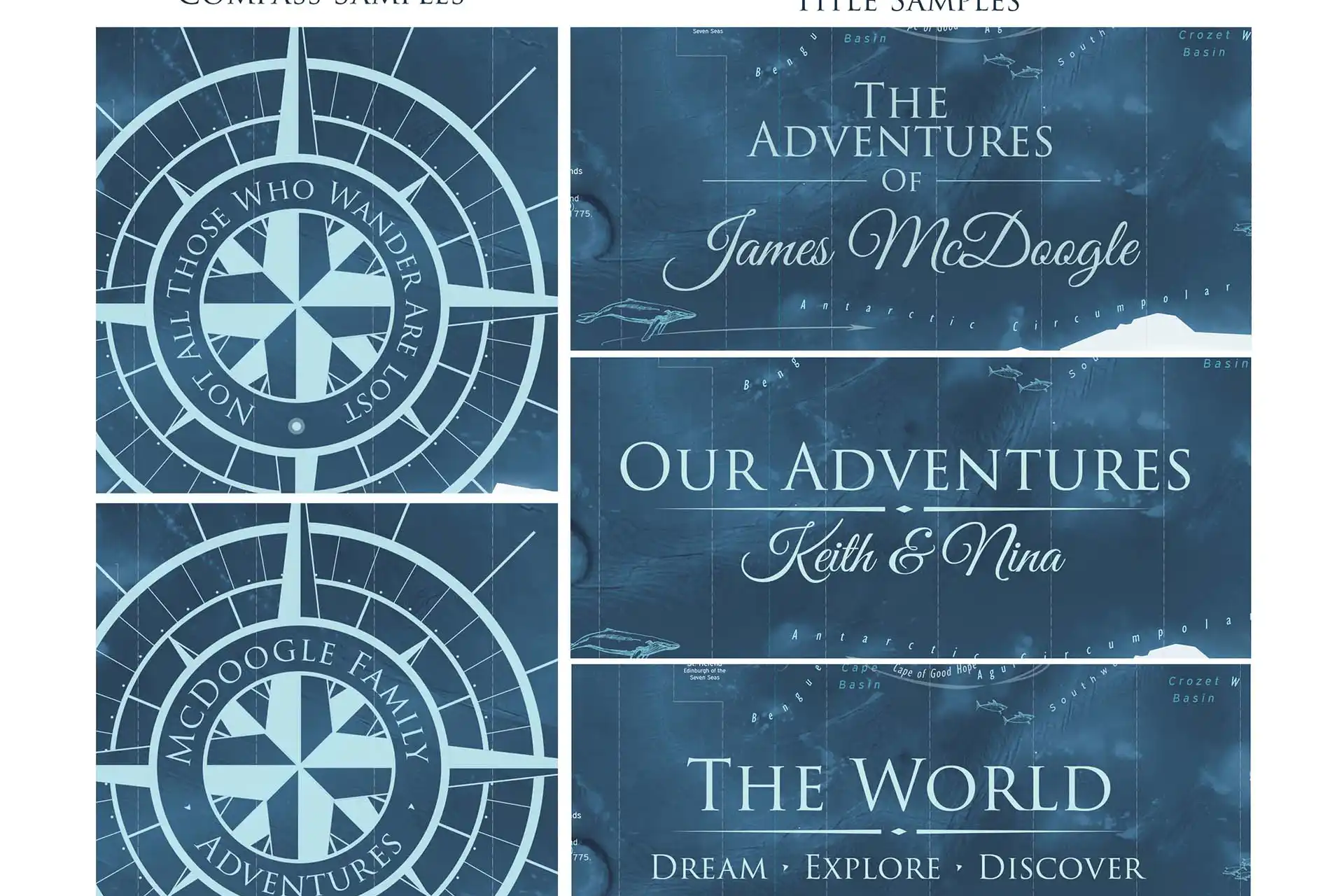
Optionally Personalize your map: You can make it your own by adding a custom title or quote. For ideas on custom titles, see the "Travel Quotes" section to the right on desktop or below on mobile.

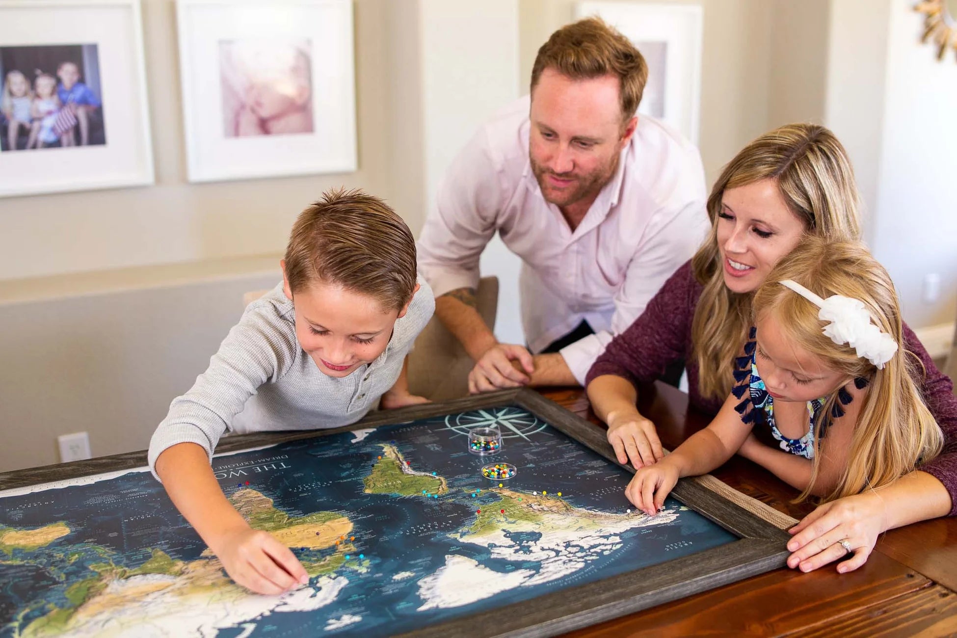
Framed Push Pin Map: All framed maps and canvas wrap maps are designed to be used with push pins.

Giant Map Bonus:  All 48x32 inch, 60x40 inch and 72x48 inch framed maps include 500 map pins; a special pin case; and fun goodies that make the map extra special. Each GIANT map order receives special attention and our individual oversight.  

Primary Colors: Purple, green, blue, white

Production and Shipping Times: The amount of time it takes for your map to arrive depends on where you live and how fast you approve the proof if you’ve ordered a custom map. See Production & Shipping.

Quality and Guarantee: We stand behind our work and guarantee the construction and quality. Contact us if you have any problems with your map and we will coordinate to ensure you are very happy with your purchase.

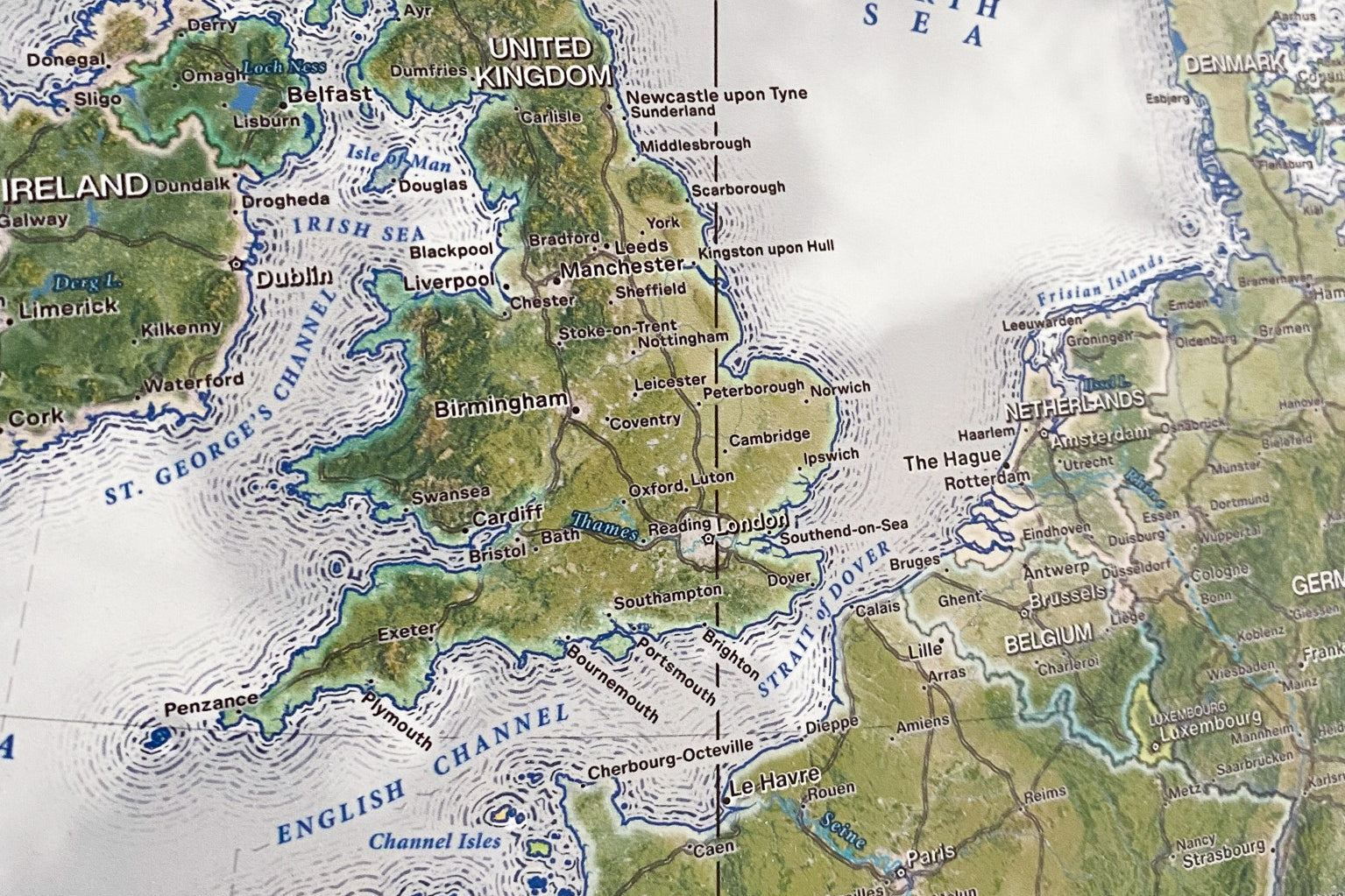
100% Made in the USA by a Small Women-Owned Business.  What sets our business apart from most map companies: we are a team of professional Geographers, Cartographers, and Environmental Scientsts. We have a passion for making maps and take the profession seriously - to produce beautiful and accurate maps. We apply thousands of layers using GIS and use optimal projections that reduce distortions. Special cartographic features are intricatly made in the map and carefully labeled. We include special details that most of our competitors miss - such as real oceanography, accurate projections, and comprehensive labeling and referencing. Our skills and craftsmanship make our makes stand out.

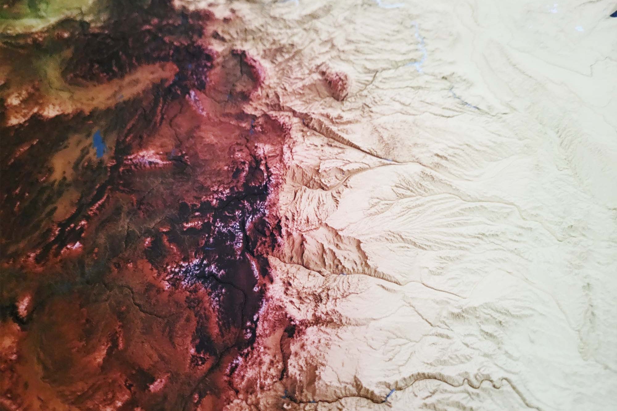
Museum Quality Fine Art Production: We created one of the nation's finest Fine Art Production Studios in the USA! Given all of the intricate work of our maps, we outfitted our studio with an array of Conservation Artwork Production. We use archival material for all of our maps, from the print production - we use specialized printing equipment that produces the finest quality work to display vivid labeling, geography, and oceanography. If you are in the area, come visit us in Pleasanton, California!  


Map Size Selection:  The biggest factor in displaying a detailed map is the size. We can produce this map in these sizes: 24x16", 30x20", 36x24", 48x32", 60x40", and 72x48".  

The 60x40" and 72x48" sizes are available as Rolled Prints or as a 3-Panel Canvas Wrap (premium and highest-quality craftsmanship).

The larger the size, the more impressive the display and view of the details in the map.

Need a small USA map that will fit in a limited space, the 24x16" and 30x20" inch size is so charming.

Map Size vs. Outside Dimensions: Our sizing choices specify the size of the map itself. Our frame options will increase the overall size of your final product depending on your selection.

For example:

Maps sized 24 x 16 inches will total 26.5 x 18.5 inches with the frame

Maps sized 30 x 20 inches will total 34 x 24 inches with the frame

Maps sized 36 x 24 inches will total 40 x 28 inches with selection of a 2 inch frame

Maps sized 48 x 32 inches will total 52 x 36 inches with selection of a 2 inch frame

For specific dimensions, see our page on Map Finish Options

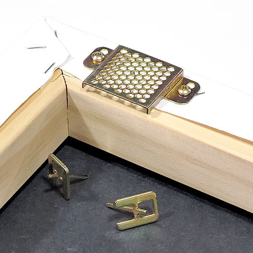
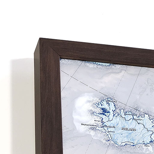
What's Included: For Framed Maps we include 500 Map pins and pin case; Each pushpin map is individually made to order. We mount the map on a high-quality pin board that embeds the map and is designed to last for decades. We use USA Made Frames made in California and Alabama. We assemble the hanging hardware so it's ready to use and enjoy. The map is nicely packaged and shipped in a large box.

Construction: The map is constructed as a high quality push pin map. Choose either Photo Satin Paper or Canvas. For additional comparisons, check out our video shown in the "Map Finish Options" section to the right on desktop or below on mobile.

The Satin Photo Paper Finish offers a modern and smooth surface for pinning. We mount the map on a high quality pin board using heavy machinery for a lasting bound.

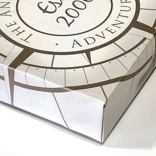
For our Canvas Finish, we use premium cotton blend canvas, using archival inks, and finish the map with a protective coating that provides a satin sheen. We mount the map on a high quality pin board for a lasting bound.

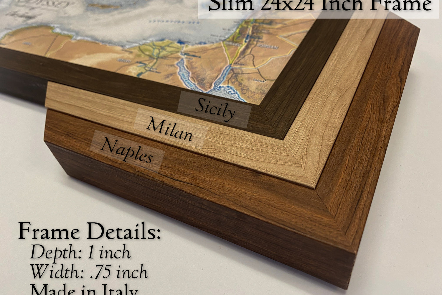
Our frames are Made in the USA and produced exclusively for our maps.

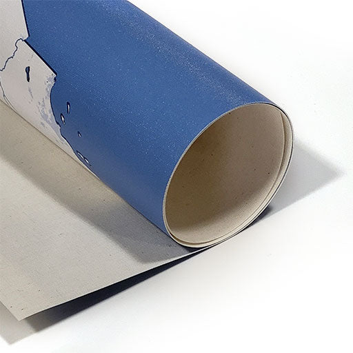
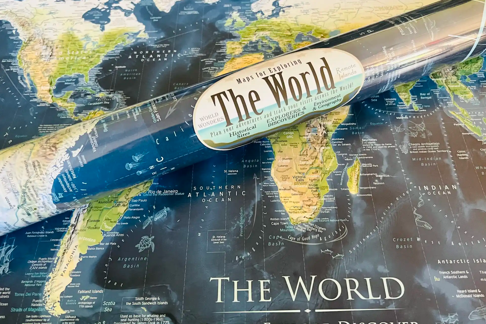
Poster Prints: Each map is meticulously crafted individually, setting it apart from mass-produced, lower-quality alternatives, ensuring Fine Artwork and Museum Quality Display. Available in various sizes tailored to fit standard frames, we include an additional margin in the print to prevent coverage by the frame's lip. The map is carefully rolled in a sturdy tube, eliminating any folds or creases during transportation. Please note that map pins are not included; you can add them to your order if desired.

USA Push Pin Travel Map

Track and plan your adventures with our National Parks Push Pin Maps!

USA Push Pin Travel Map

Track and plan your adventures with our National Parks Push Pin Maps!

Personalize your map!

  • Create a unique piece of wall art that shares the stories of your travels and adventures.
  • You can personalize your map with custom titles, fonts, legends, and framing options.
  • Use your first names, family name or favorite quote to make your map extra special for your family!

Find Fascinating Travel Destinations

  • Our USA maps include more than the 63 National Parks! The map features over 600 NPS Historical Sites, National Monuments, NPS Wildlife Preserves, Historical Battlefields, and you can trace the path of the National Scenic Trails such as the Appalachian Trail and more!
  • Our detailed geography also includes state capitals, major cities, rivers, mountains, the U.S. interstate system, historical cities, NASA Space Centers, and much more. Explore fascinating travel destinations and find ideas for your next USA road trip!

Support USA Small Business

  • All of our products are made entirely in the USA! The maps are printed in our production studio in Pleasanton, California and then shipped directly to the customer.
  • GeoJango is a woman-owned small business with expertise in GIS, Geography, Remote Sensing, Cartography, and Graphic Design. We blend science with art to visualize our beautiful planet. Our maps are designed to inspire people to learn more about the world.
Made in the usa

Support USA Small Business

  • All of our products are made entirely in the USA! The maps are printed in our production studio in Pleasanton, California and then shipped directly to the customer.
  • GeoJango is a woman-owned small business with expertise in GIS, Geography, Remote Sensing, Cartography, and Graphic Design. We blend science with art to visualize our beautiful planet. Our maps are designed to inspire people to learn more about the world.
Frequently Asked Questions

Canvas & Satin Paper Comparison

Satin Paper Best Use:

  • Modern Museum display, that features an ultra-smooth display surface with our impressive mounting.
  • Beautiful fine art finish that is designed to visualize rich color depth.
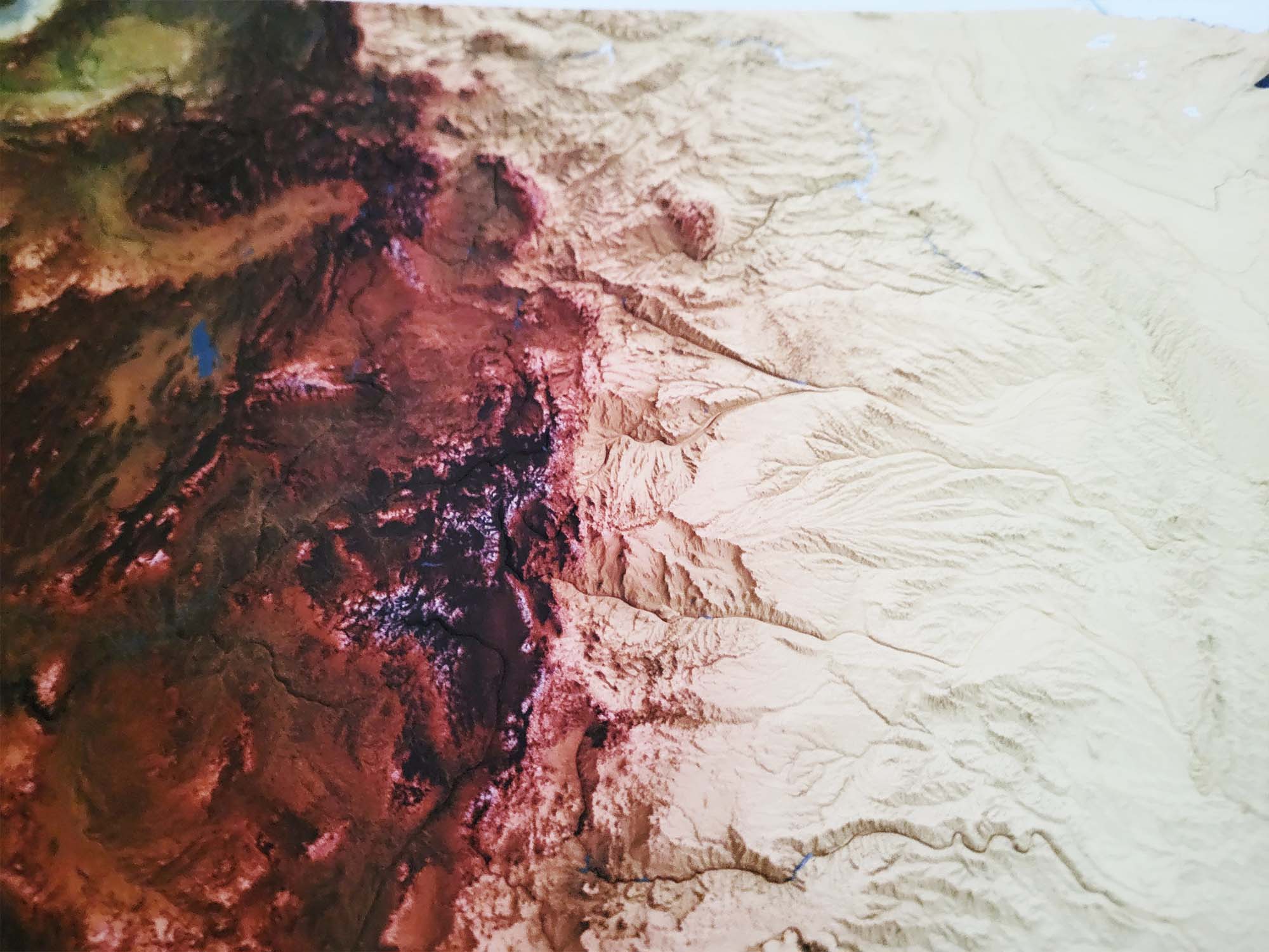
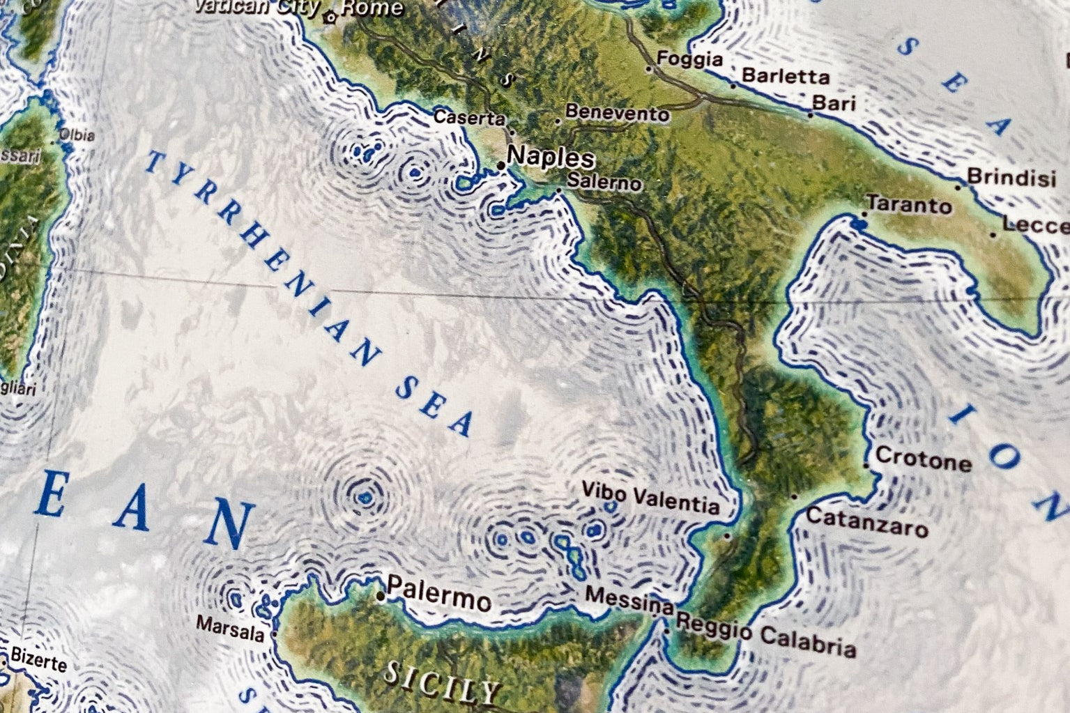
  • Good for compressive the comprehensive fine details in the ocean bathymetry.

When compared to the canvas, the satin paper has a very smooth surface, rather than the texture of the canvas.

Canvas Best Use:

  • The texture and feel of the canvas are attractive and offerappearance a more historical appearancehas.
  • Our premium canvas have fine-art giclee satin gloss, which can be touched and resists fingerprints.
  • We use archival HP inks to preserve the details for years to come

.The canas can compete with the labeling in some of the complete areas of the map. All of the labels can read. The smooth surface of the Photo Satin paper would be the preferredthe choice for distinct readability of the labels.


When will my map arrive?

The amount of time it takes for your map to arrive depends on where you live and how fast you approve the proof if you’ve ordered a custom map.

General Shipping Times:

East Coast - 5 days after your map has shipped

Central - 4 days after your map has shipped

West Coast - 3 days after your map has shipped

Will there be a hole in my map if I remove a pin?

Removing a pin has little effect on the map. You would need to be right up close and know exactly where to look to spot the tiny hole. This effect would be unoticed, unless you are really trying to find it. This is truly not a concern. In fact, it is great for children to work with the map as an interactive activity. Maps are interactive and made to be used, referenced, and explored!

average rating 5.0 out of 5
Based on 9 reviews
  • 5 Stars
    9 Reviews
  • 4 Stars
    0 Reviews
  • 3 Stars
    0 Reviews
  • 2 Stars
    0 Reviews
  • 1 Star
    0 Reviews
100% of reviewers would recommend this product to a friend
Customer photos and videos
9 Reviews
Reviewed by Miranda P.
Verified Buyer
I recommend this product
Rated 5 out of 5
Review posted

Absolutely perfect!

We love the map!! Excellent customer service! I would absolutely recommend them!!

Loading...
Was this helpful?
Reviewed by Laurie K.
Verified Buyer
I recommend this product
Bought For
Gift
Pros
  • Quick Shipping
  • Great Gift
  • Great Customer Service
  • High Detail
  • High Quality
Rated 5 out of 5
Review posted

Exceptional

Debbie was wonderful. She rushed my order and it arrived on time for me to give it to my son as a graduation gift. I can't say enough about the exceptional customer service I received. I would recommend GeoJango Maps to everyone.

Thanks again for making my son's graduation extra special.

Loading...
Was this helpful?
Reviewed by Jan S.
Verified Buyer
I recommend this product
Bought For
Gift
Pros
  • Great Gift
  • Unique
  • High Detail
  • High Quality
  • Beautiful Décor
Rated 5 out of 5
Review posted

Amazed

I got this for an anniversary gift for my husband. I absolutely LOVE it! I really hope he does too! Thank you!

Loading...
Was this helpful?
Reviewed by Karen J.
Verified Buyer
I recommend this product
Bought For
Personal Use
Pros
  • Quick Shipping
  • Great Customer Service
  • High Detail
  • High Quality
  • Unique
Rated 5 out of 5
Review posted

Explore America White Edition with White Frame

We are very pleased with our impressive Explore America framed map. The White Edition map's color scheme looks very attractive on the wall. The hanging mechanism is a very ingenious design and the hanging instructions are easy to follow. The framed map was very well packaged and arrived without damage. We appreciated the email notifications about the production, shipping and delivery dates. The push pins are easily inserted and stay firmly in place. The map came with 8 different colored push pins in a handy plastic case that firmly closes. There were enough push pins of a single color to mark all the national parks we have visited. We were also able to mark on birthplaces, cities where we had lived as well as the cities were relatives reside. In the future, we hope to purchase the Humboldt World Map that matches the color scheme of the Explore America White Edition. The online support was wonderful in answering all my questions and concerns so I felt confident the options selected. I have searched for several years for a USA National Parks Map and so happy with my purchase. Thank you kindly, GeoJango staff!!

Loading...
Was this helpful?
Reviewed by Amy T.
Verified Buyer
I recommend this product
Rated 5 out of 5
Review posted

Great experience!

Owner was great to work with. Customized map looks great. My husband loved it. I spent a significant time searching for the right product and company and this is definitely it!

Loading...
Was this helpful?