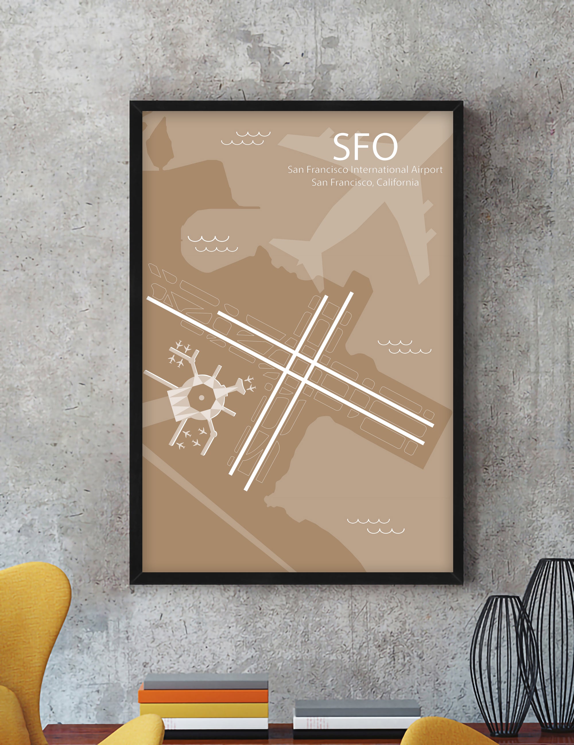
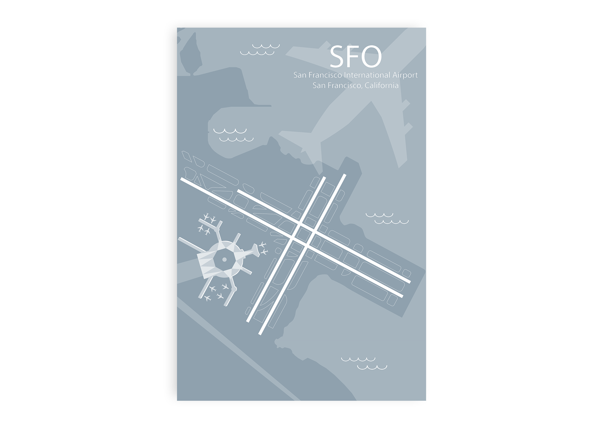
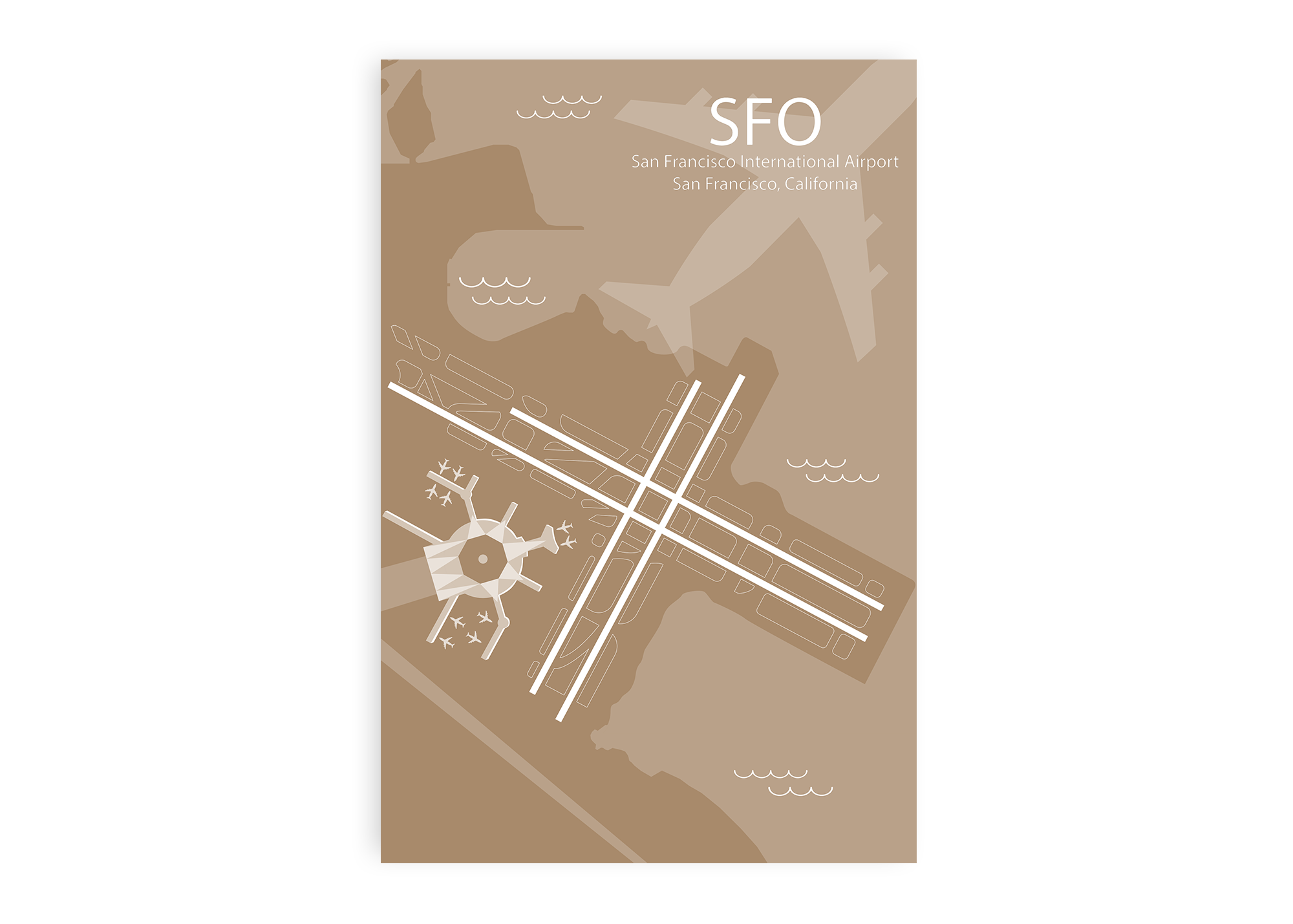
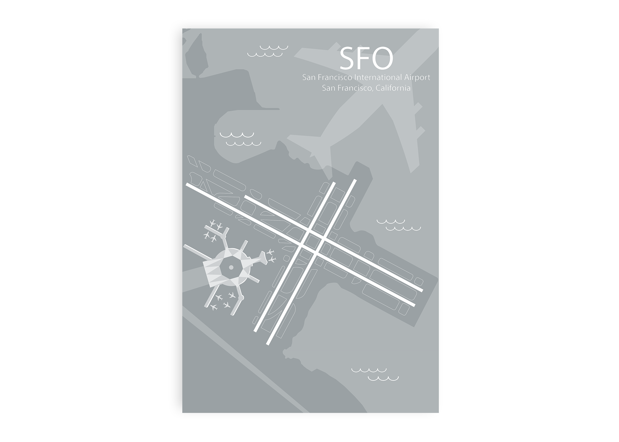
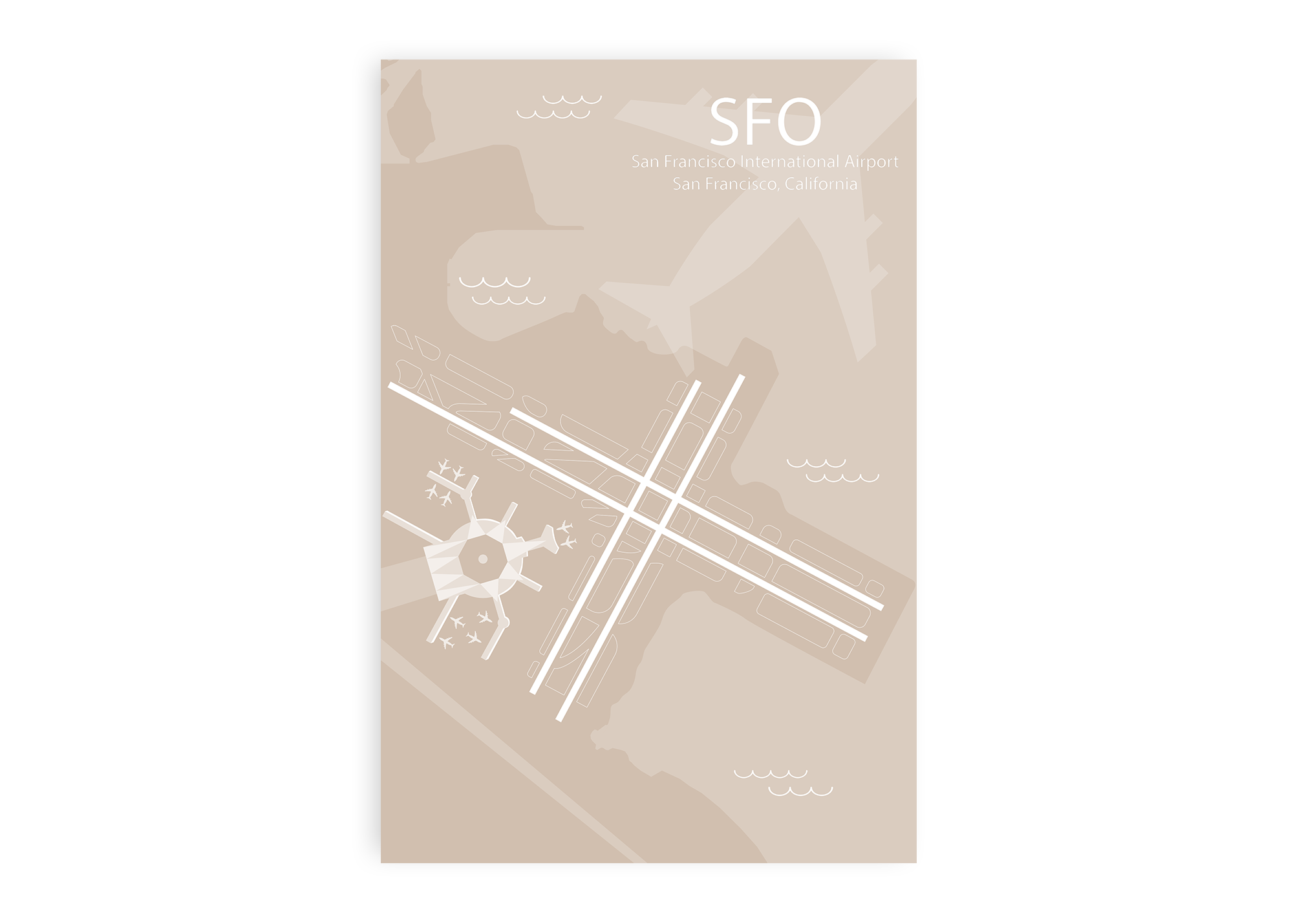
Being the largest airport in the San Francisco Bay Area, SFO is a major gateway to both Europe and Asia. It is one of the busiest airports in the country and is a hub for multiple airlines. With limited runways, the airport is known for landing planes in short relays and in spectacular parallel landings where two airplanes are synchronized to land simultaneously.
SFO’s beautiful International Terminal is created with grand spaces and modern decor. It features an Aviation Museum Library, SFO Museum, lounges, restaurants, and shops. SFO offers direct access to mass-transit: BART (Bay Area Rapid Transit) from terminals 1 and 3.
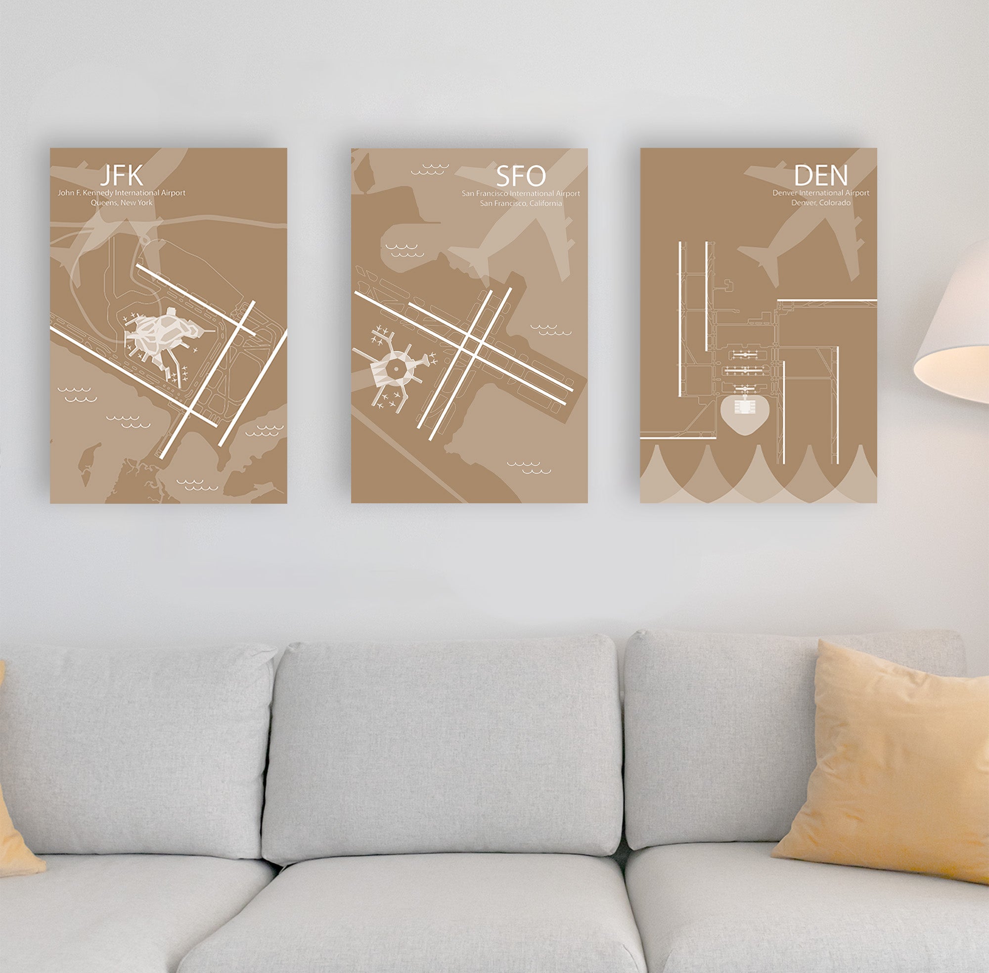
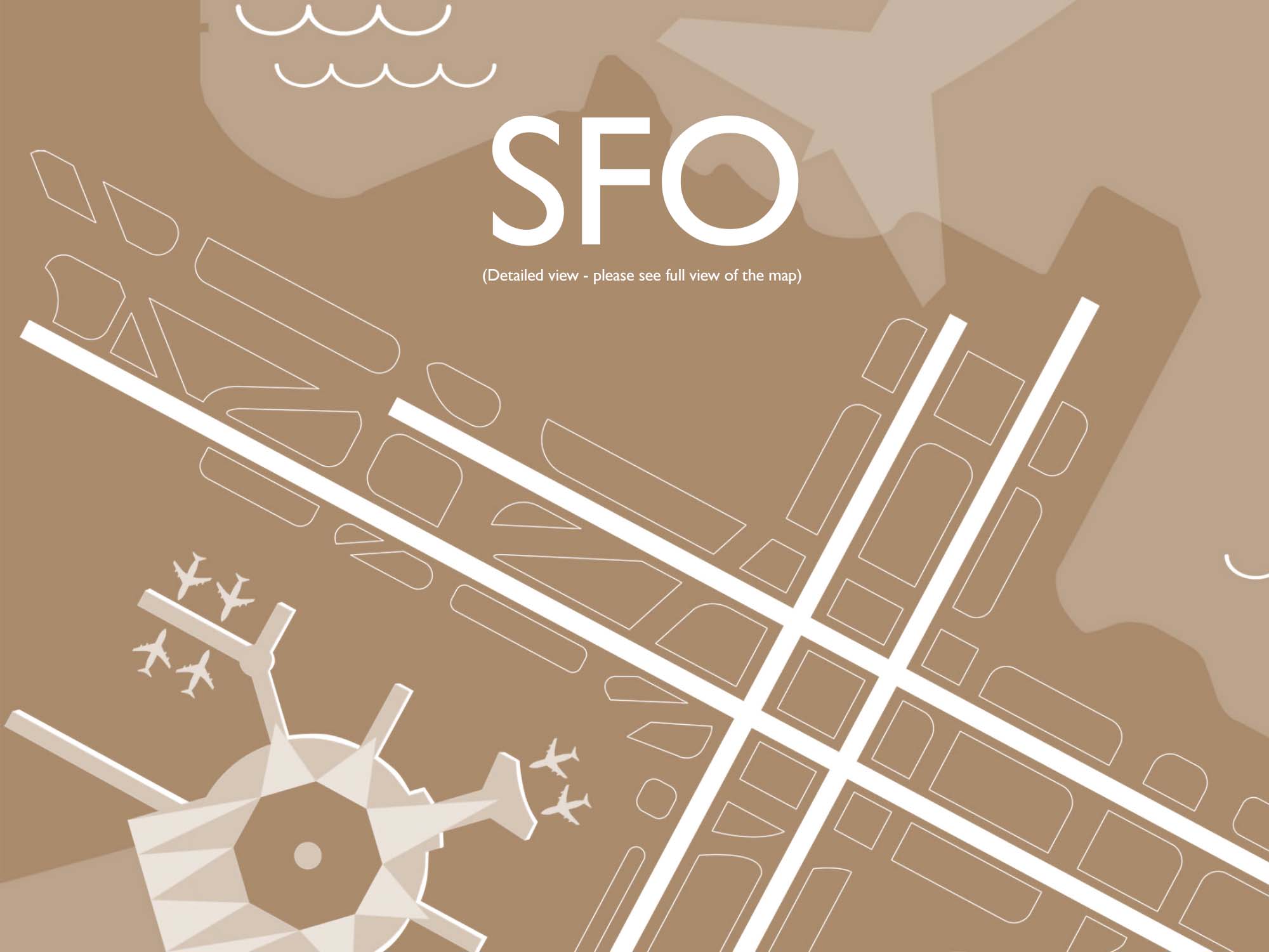
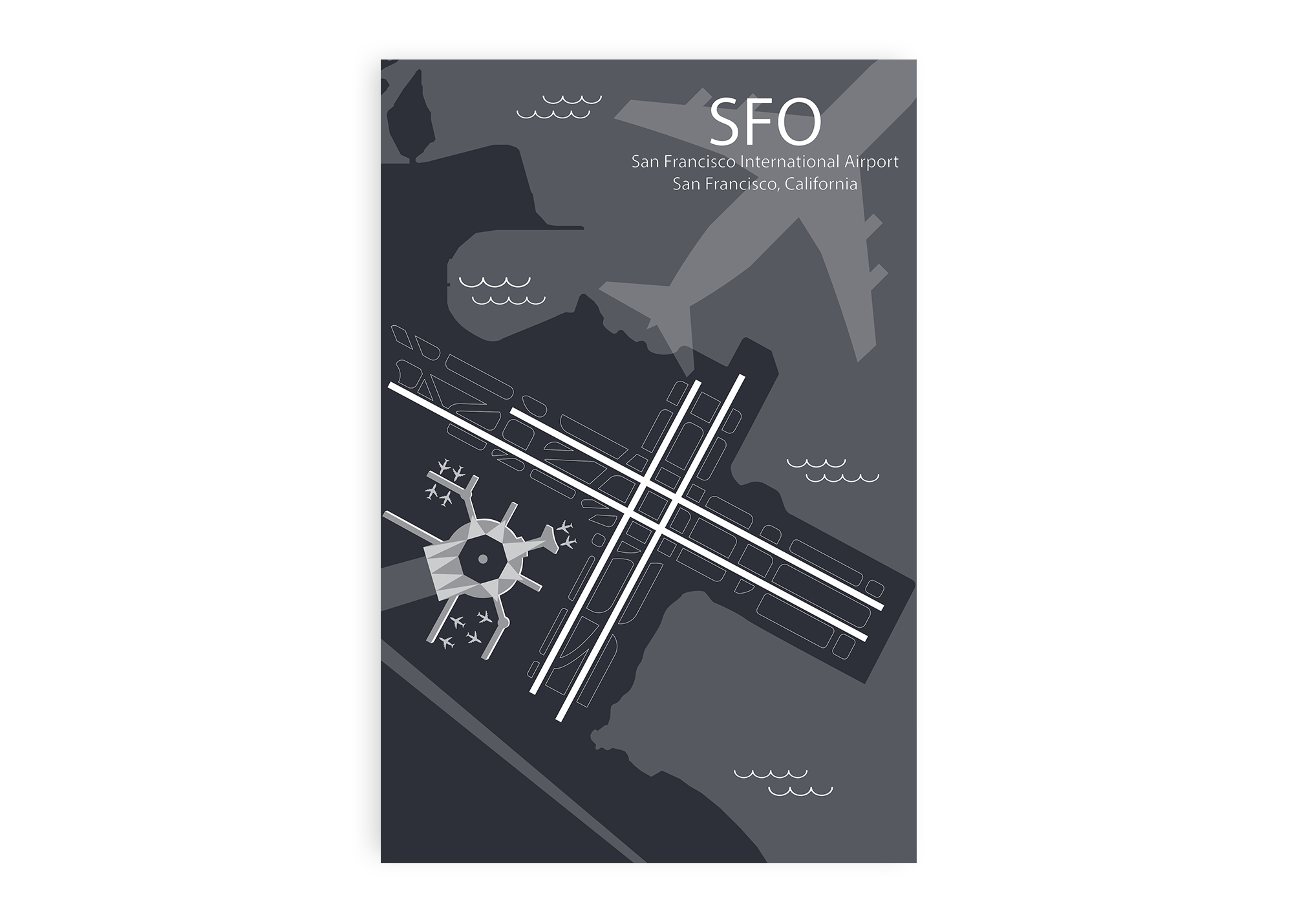
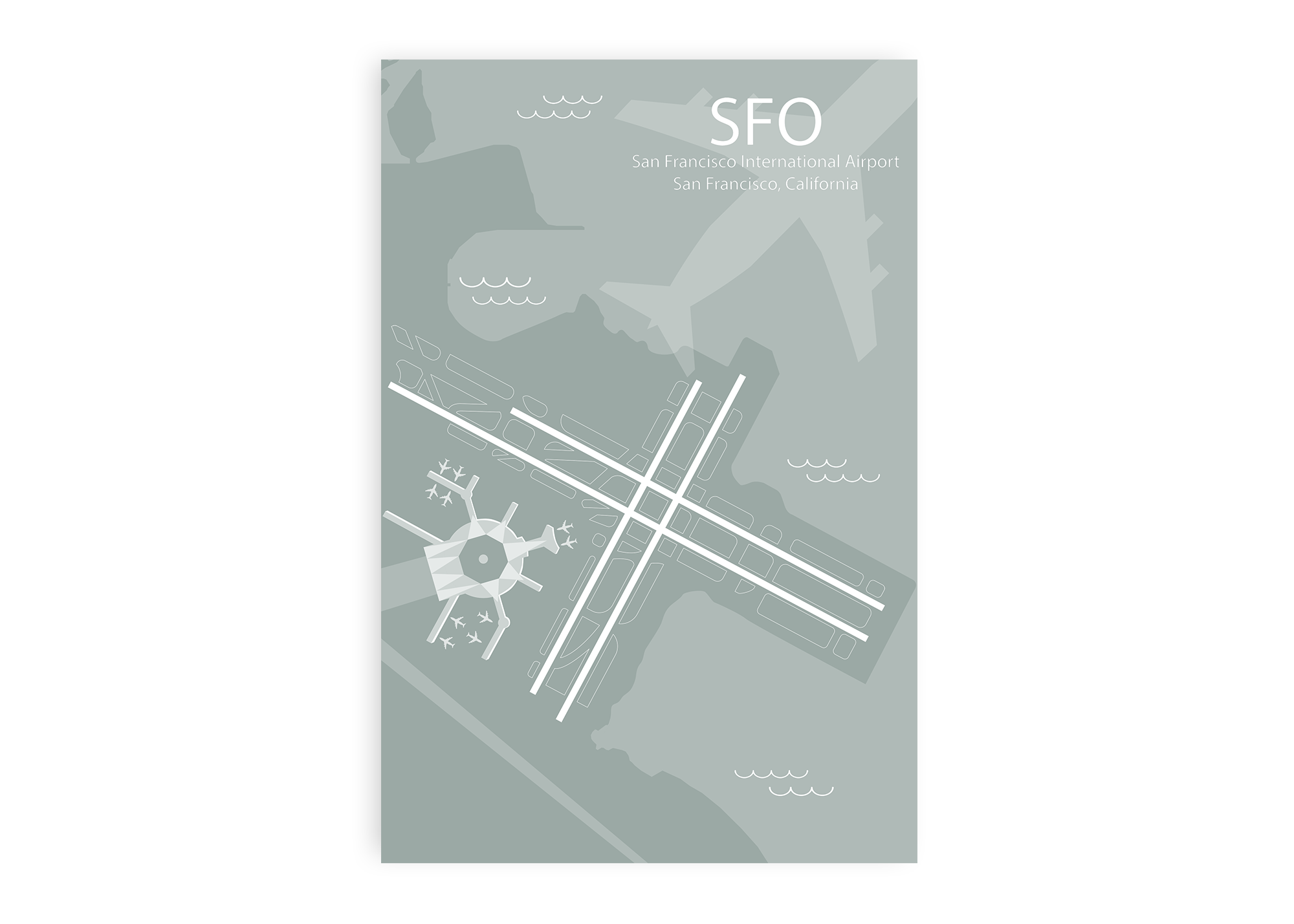
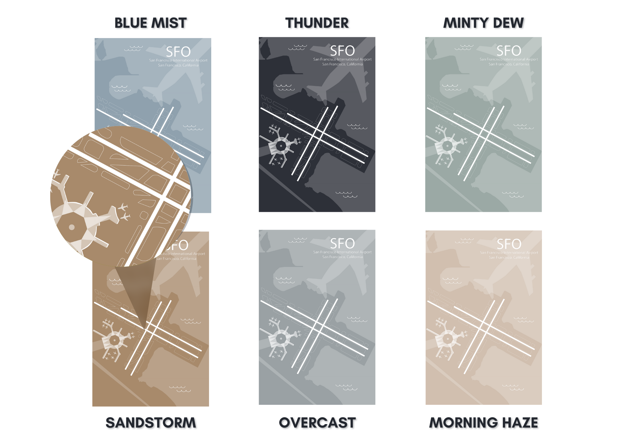
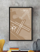
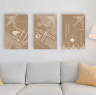
When flying into and out of SFO, passengers can get a bird’s eye view of the Pacific Ocean, San Francisco, Silicon Valley, Stanford University, and San Francisco Bay. Our SFO Airport Runway Diagram Wall Art features accurate GIS mapping technology, unique artist effects, terminals, and impressive details that are fun to explore. This airport map will delight you and your walls with happy memories of your travels and adventures.
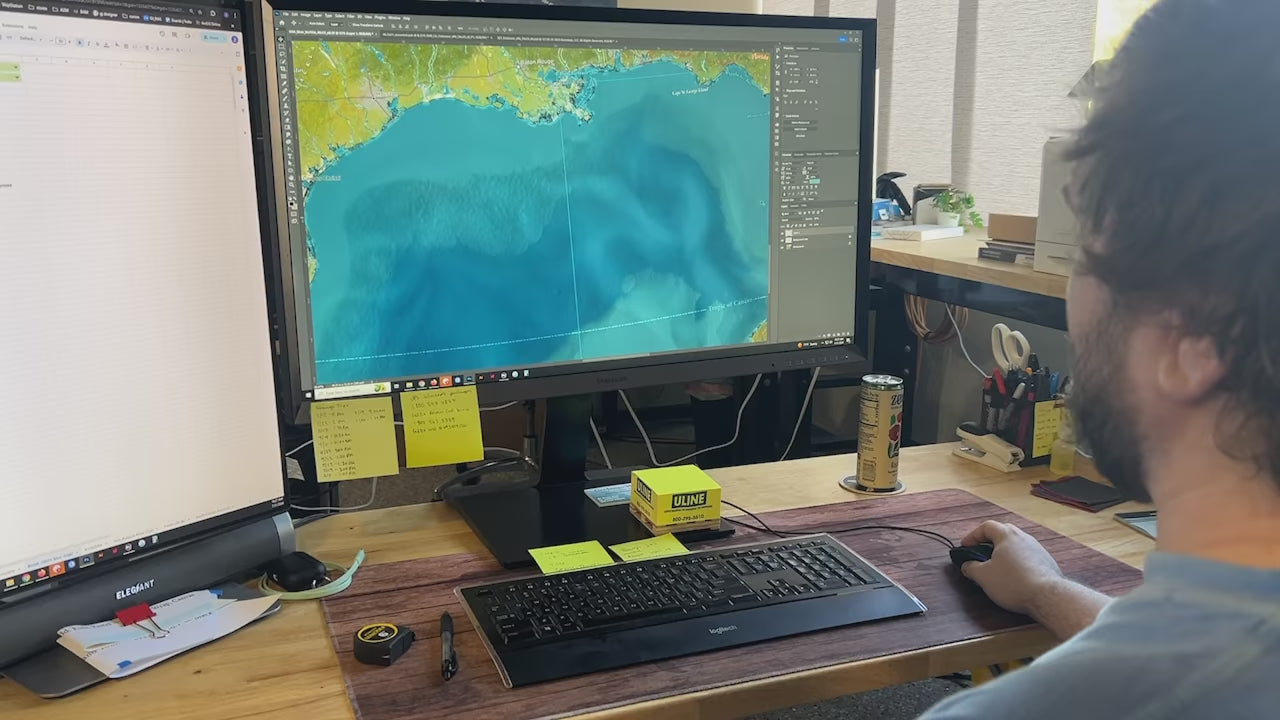
About The Map: At GeoJango, we are experts in GIS and developing accurate maps. We use satellite imagery and GIS modeling techniques to accurately model the layout and composition of each airport. We take great care in modeling the airport runways, infrastructure, terminals, and surrounding landscape. We capture accurate runway orientations, lengths, and landscape features to scale - however the maps are not intended for navigation purposes. For a unique touch, we combine professional GIS, cartography, 3D illustration, and artistry to highlight the features of each airport. The result: impressive illustrations of each airport that is fun to explore and beautiful to display!


