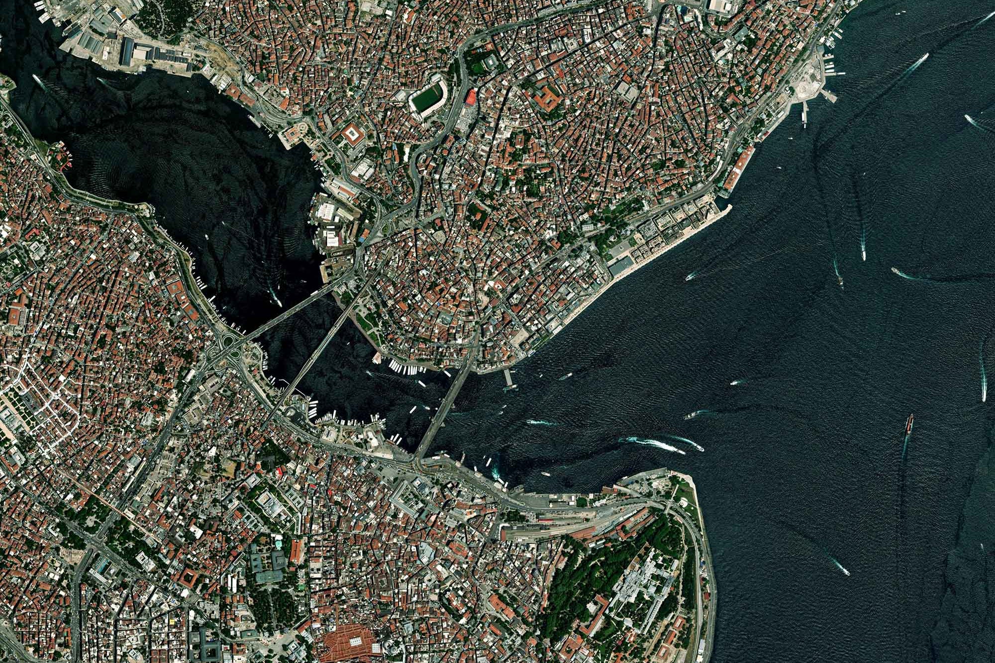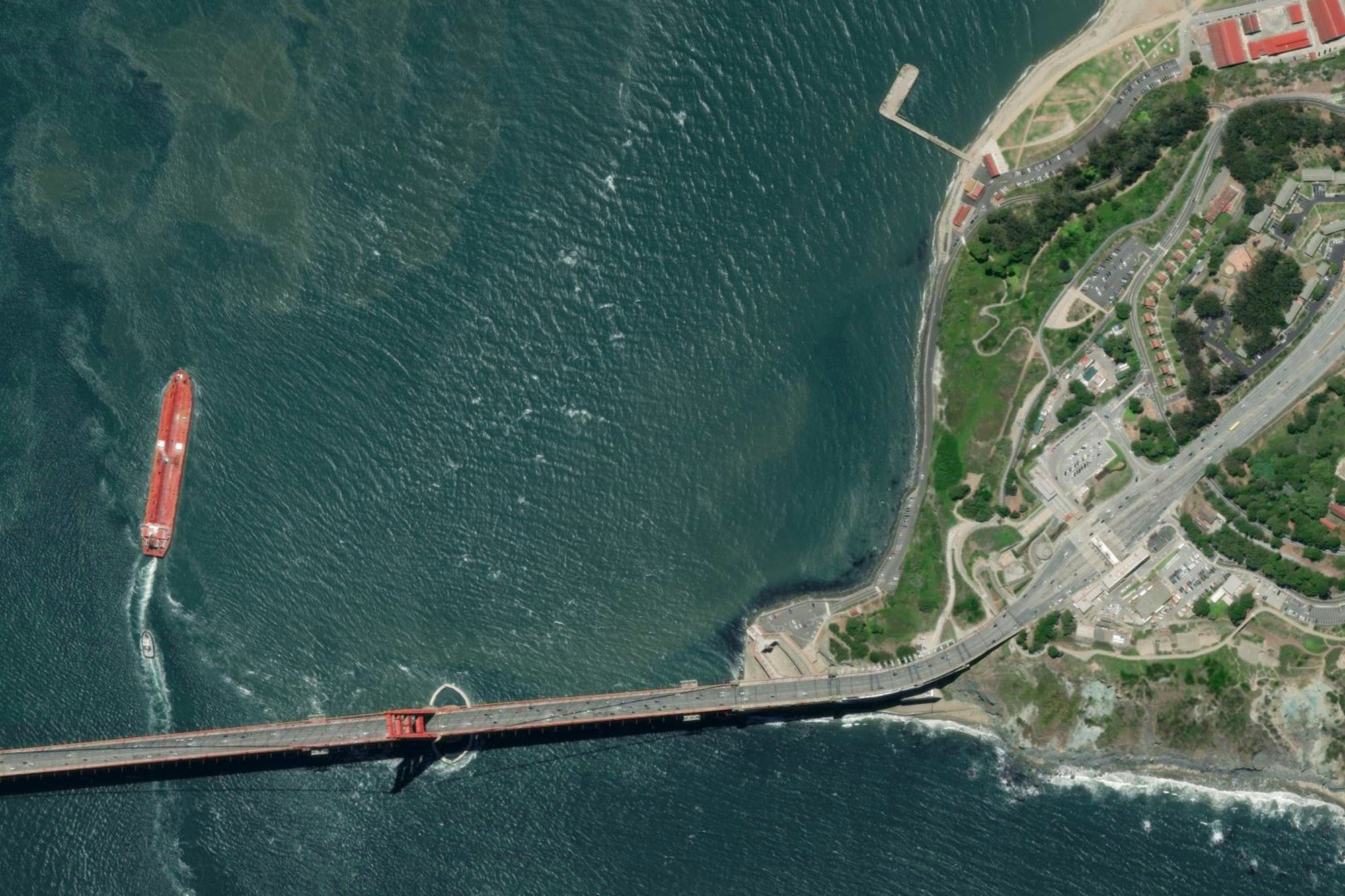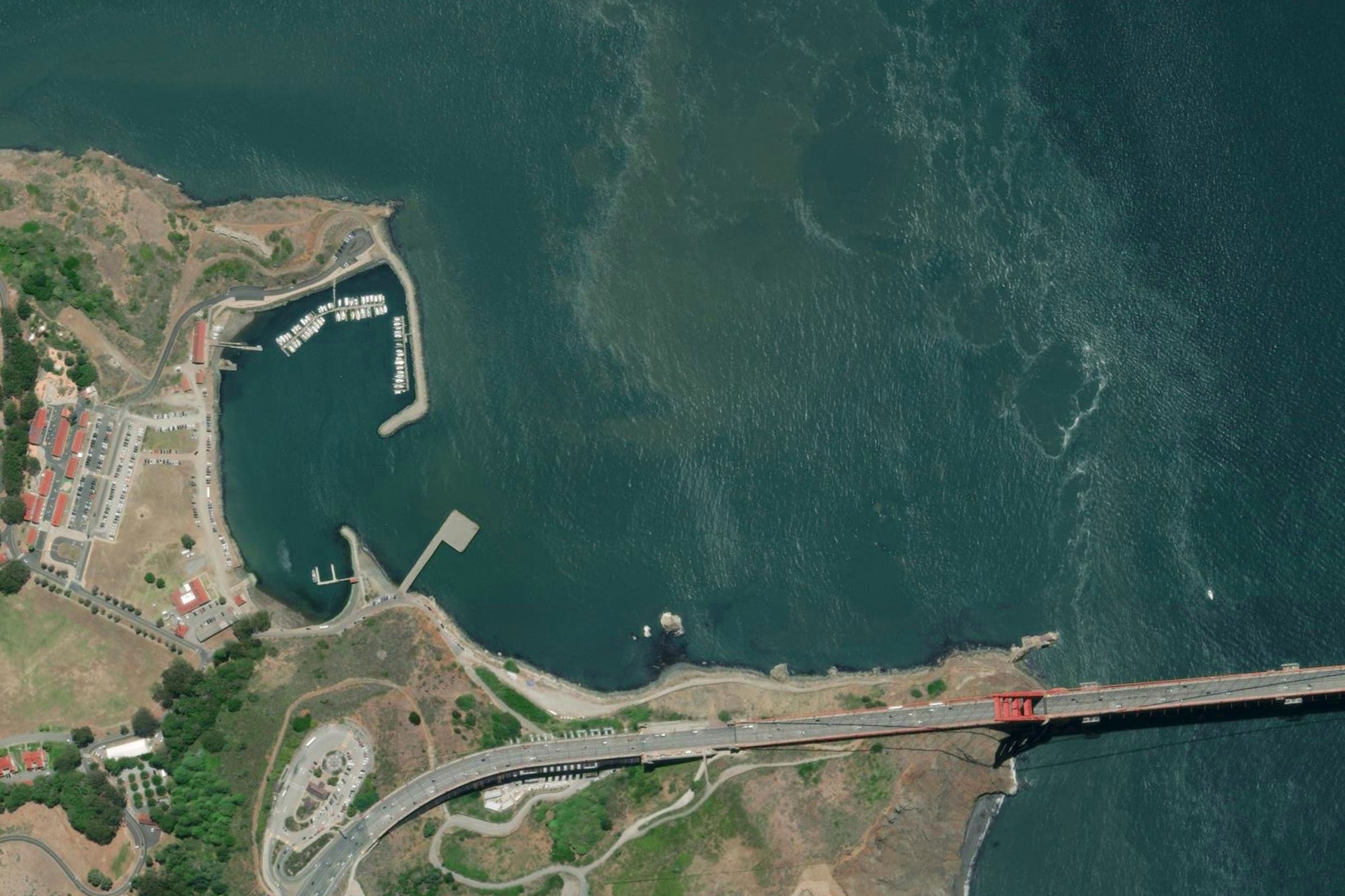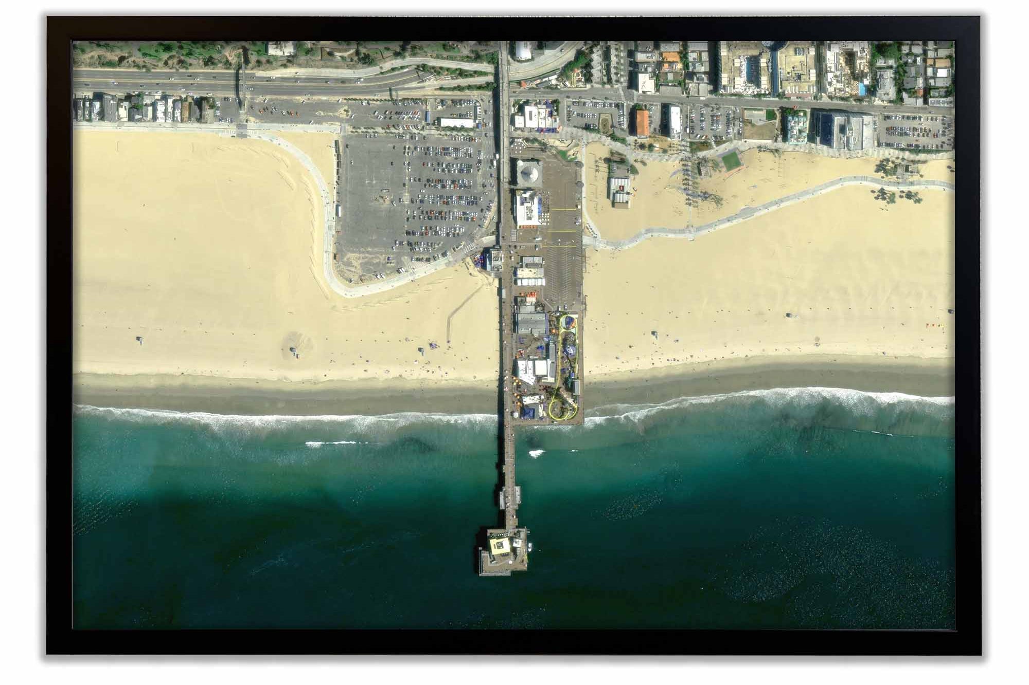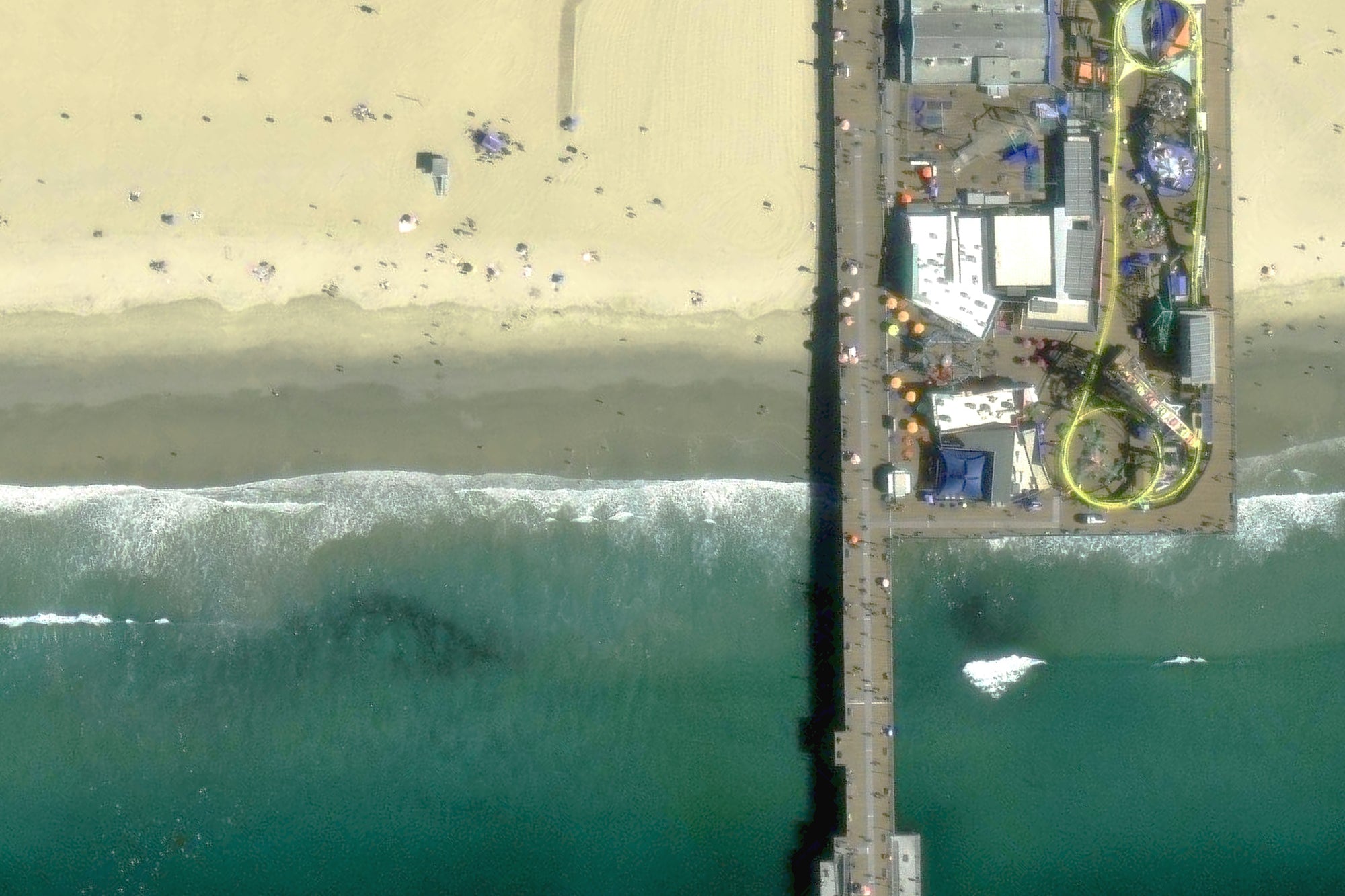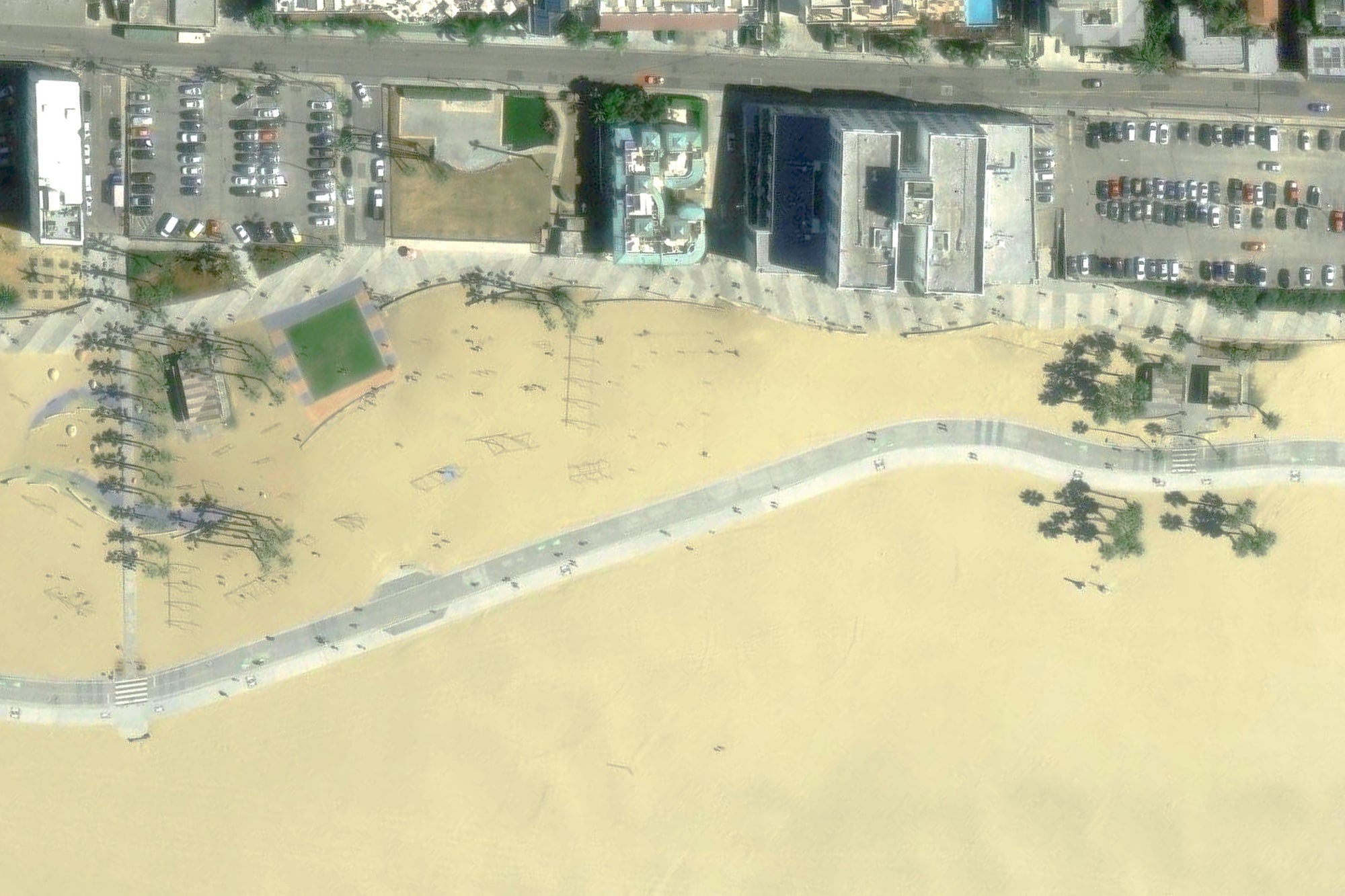


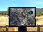


This impressive satellite map of Yosemite national park displays the city and its surrounding areas from an aerial perspective, captured by satellite imagery. The map displays the rugged terrain, including the iconic granite cliffs, the alpine meadows, and the rivers and lakes that make up the park's ecosystem.
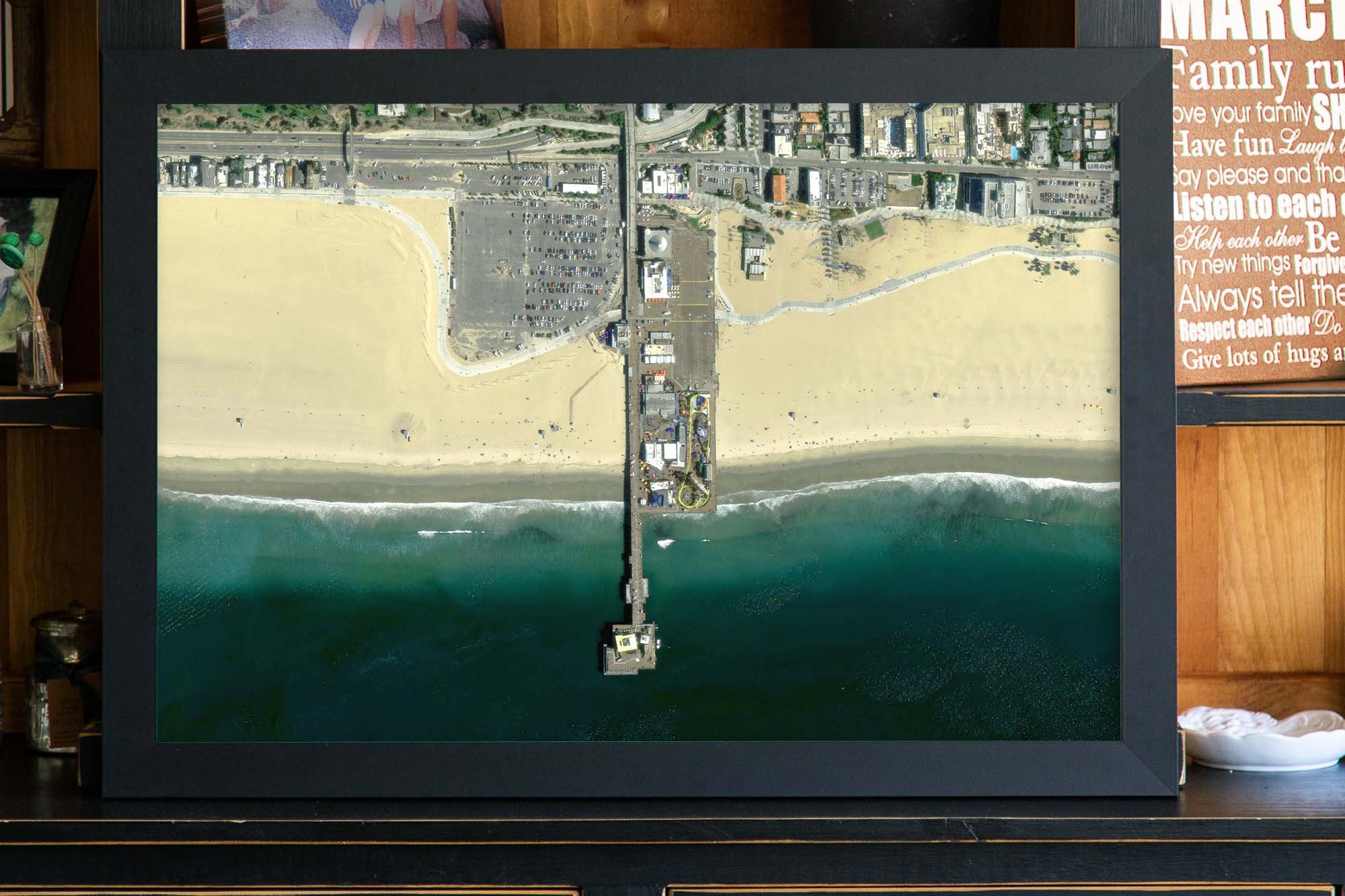
Map Size vs. Outside Dimensions: Our sizing choices specify the size of the map itself. Our frame options will increase the overall size of your final product depending on your selection.
For example:
Maps sized 24 x 16 inches will total 26.5 x 18.5 inches with the frame
Maps sized 30 x 20 inches will total 34 x 24 inches with the frame
Maps sized 36 x 24 inches will total 40 x 28 inches with selection of a 2 inch frame
Maps sized 48 x 32 inches will total 52 x 36 inches with selection of a 2 inch frame
For specific dimensions, see our page on Map Finish Options
Giant Map Bonus: All 48x32 inch, 60x40 inch and 72x48 inch framed maps include 500 map pins, a special pin case, and some fun goodies to make the map even more special. Each GIANT map receives our special attention and individual oversight.
Production and Shipping Times: The amount of time it takes for your map to arrive depends on where you live and how fast you approve the proof if you’ve ordered a custom map. See Production & Shipping.
Quality and Guarantee: We stand behind our work and guarantee the construction and quality. Contact us if you have any problems with your map and we will coordinate to ensure you are very happy with your purchase.