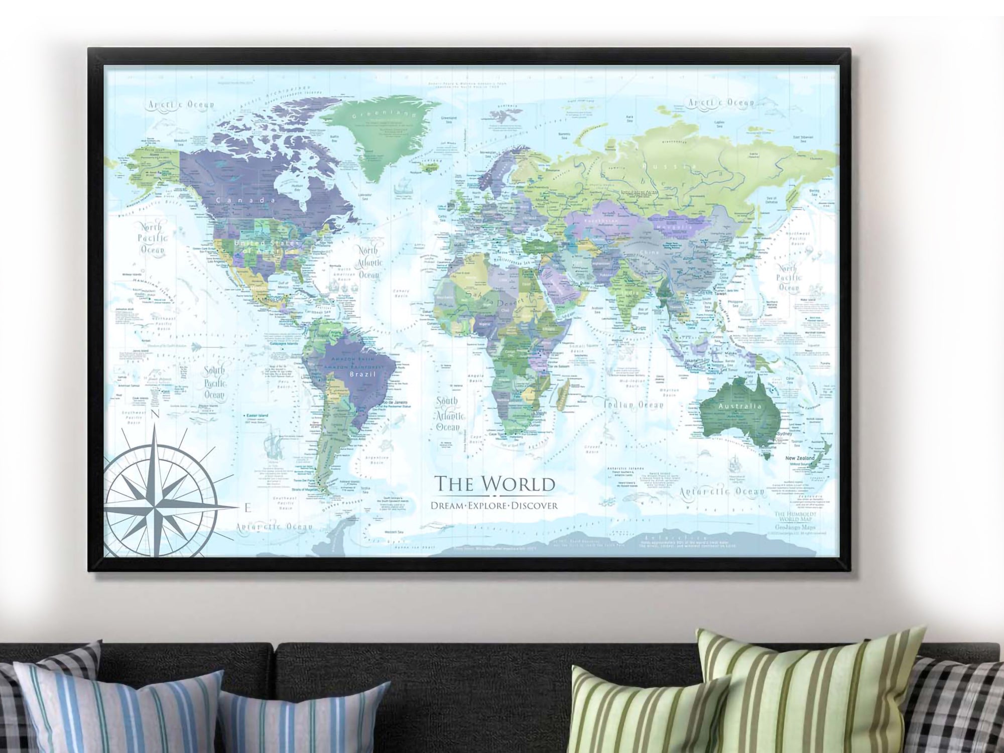
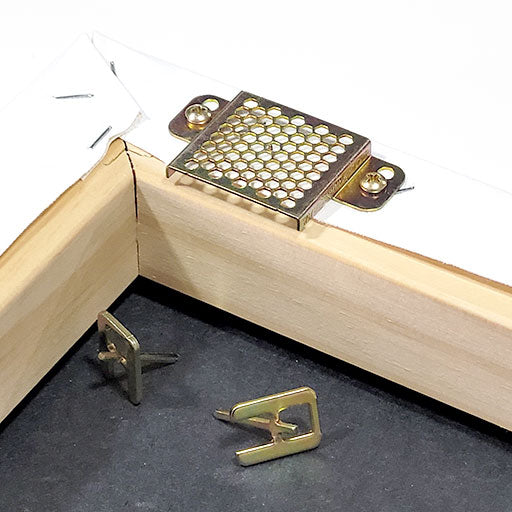
What's Included with a Framed Map: For Framed Maps we include 500 Map pins and pin case; Each push pin map is individually made to order. We prepare the map with hanging hardware so it's ready to use and enjoy. The map is nicely packaged and shipped in a large box.
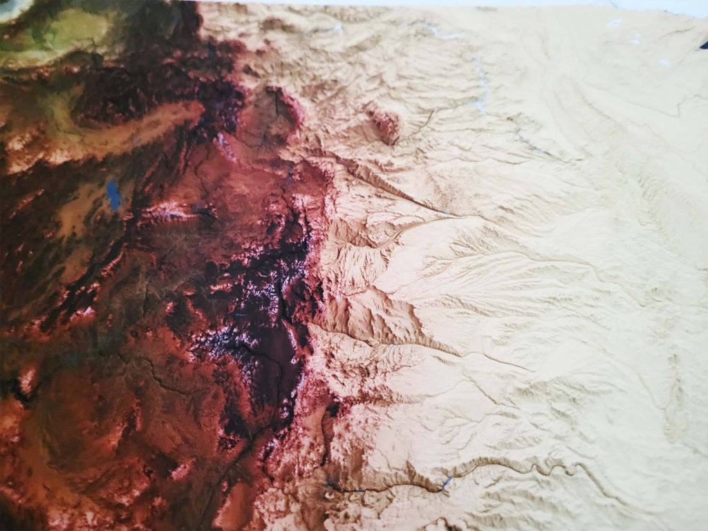
Museum Quality Fine Art Production: We have one of the nation's finest Fine Art Production Studios in the USA! Given all of the intricate work of our maps, we outfitted our studio with an array of Conservation Artwork products. We use archival material for all of our maps, from the print production - we use specialized printing equipment that produces the finest quality work to display vivid labeling, geography, and oceanography. If you are in the area, come visit us in Pleasanton, California!
Finish Types for Pin Maps: Choose either Photo Satin Paper or Canvas framed maps. Both finishes are made as Fine Artwork. Both finishes are equally good for map pins.
The Satin Photo Paper Finish offers a modern and smooth surface for pinning. We mount the map on a high quality pin board using heavy machinery for a lasting bond.
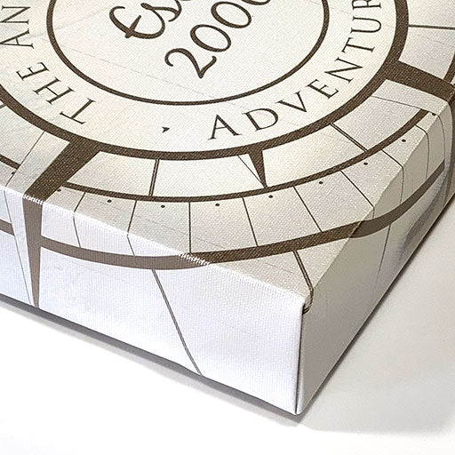
For our Canvas Finish, we use premium cotton blend canvas, using archival inks, and finish the map with a protective coating that provides a satin sheen. We mount the map on a high quality pin board for a lasting bond.
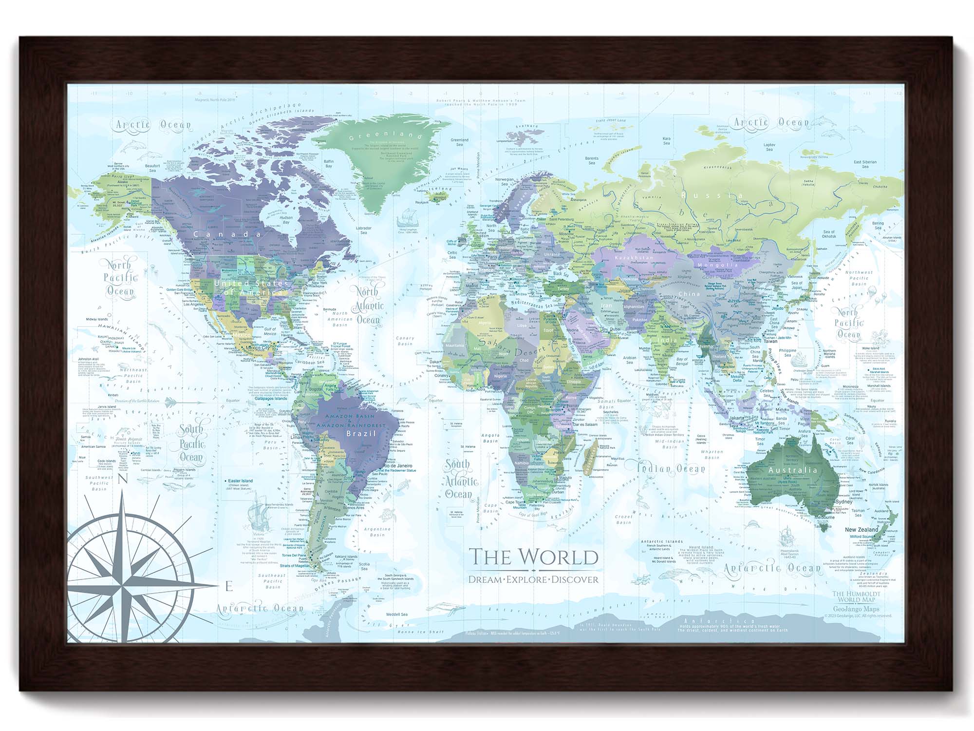
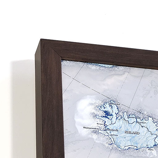
Our frames are Made in the USA and produced exclusively for our maps.
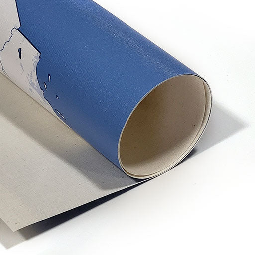
What's Included with a Rolled Poster Map: For Poster Maps, we include 100 Map pins or gem stickers upon request; Each map is individually made to order. We roll the map in a sturdy tube for shipping to provide a crease-less piece of art.
Poster Prints: Each one of our maps is crafted individually, unlike mass-produced, lower-quality alternatives.
Our posters are available in various sizes, all tailored to fit standard frames, we include an additional margin in the print to prevent coverage by the frame's lip. To maintain the map's impeccable condition, it is carefully rolled with a robust tube, eliminating any possibility of folds or creases during transportation.