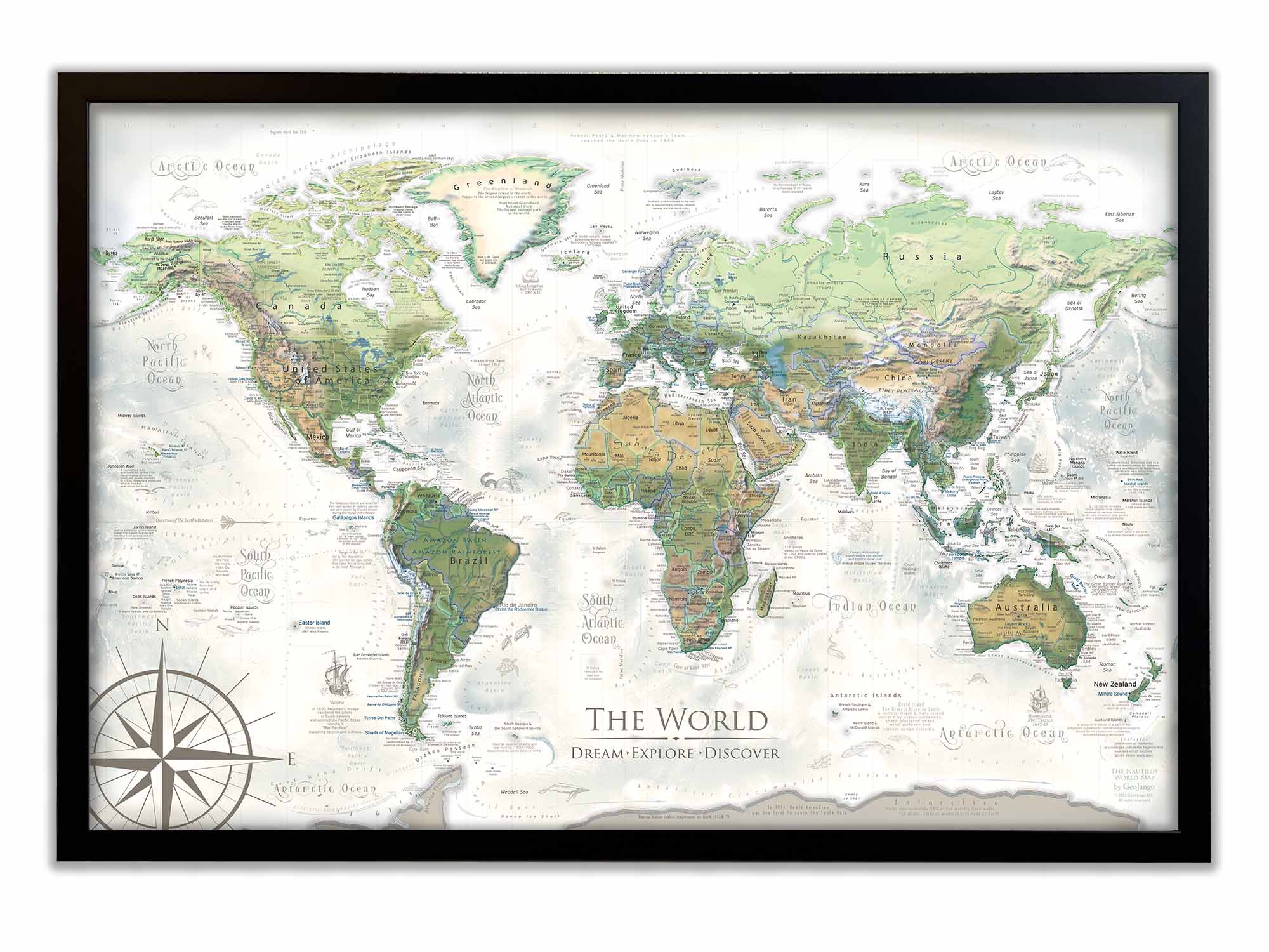
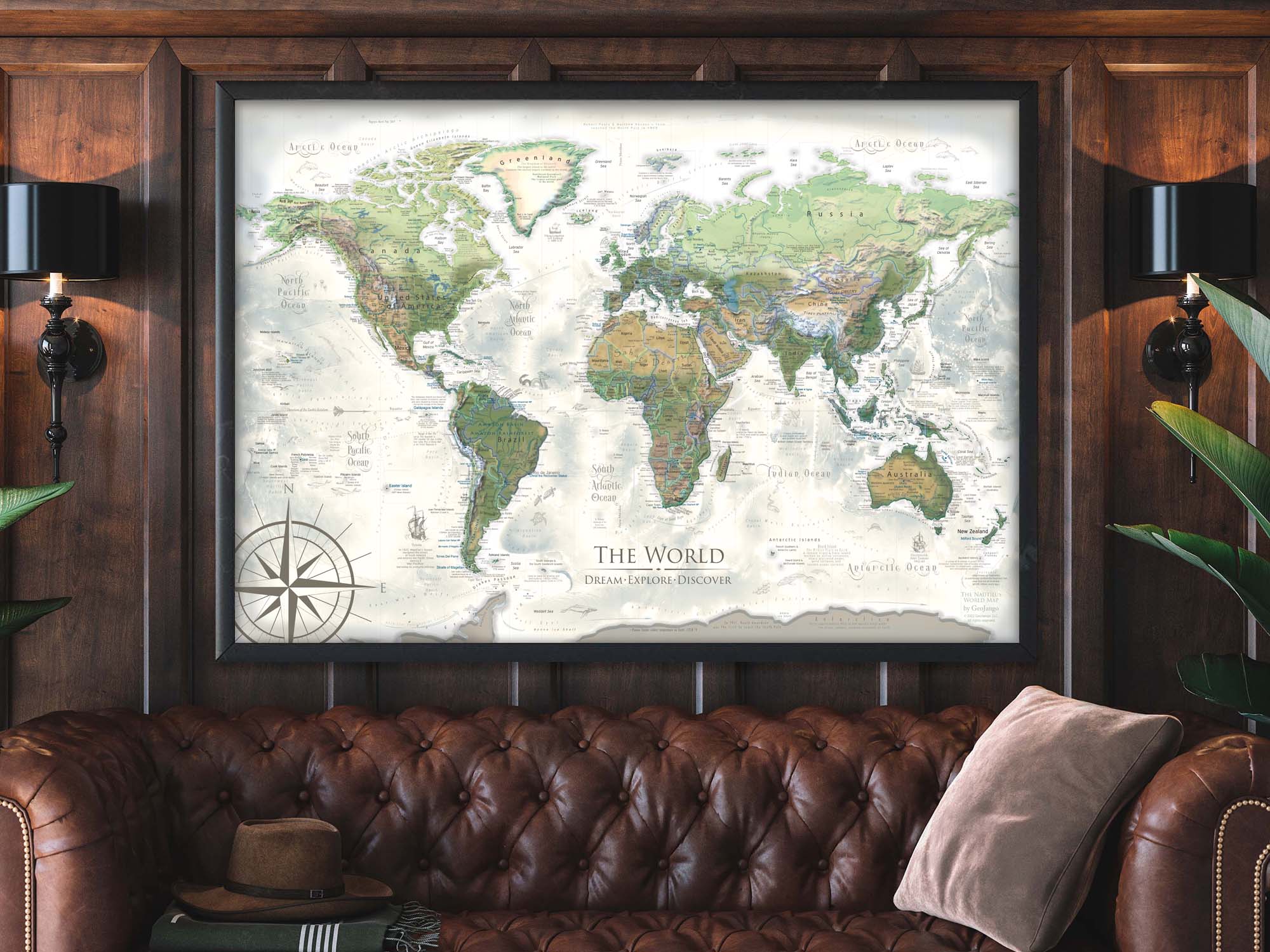
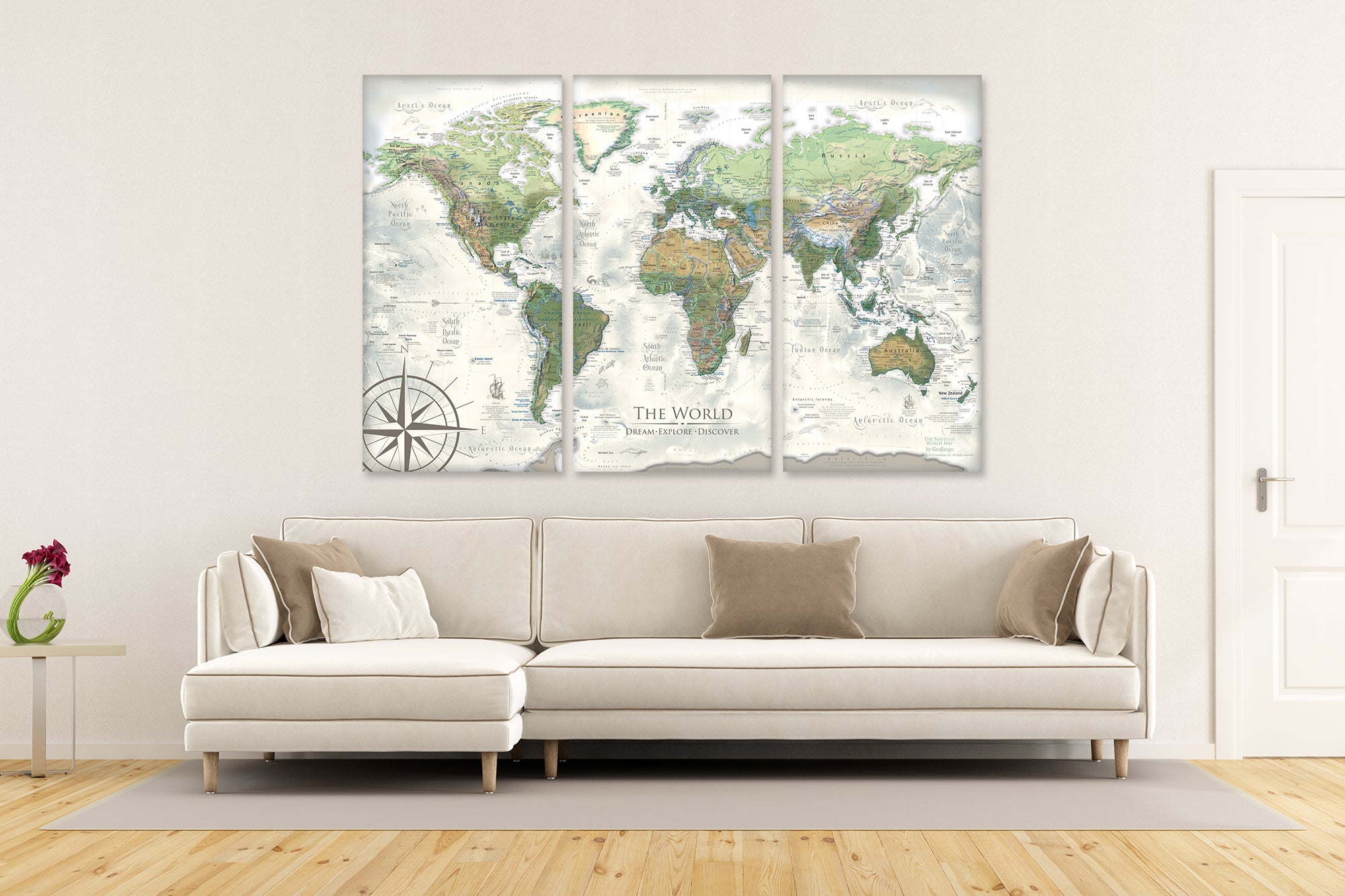
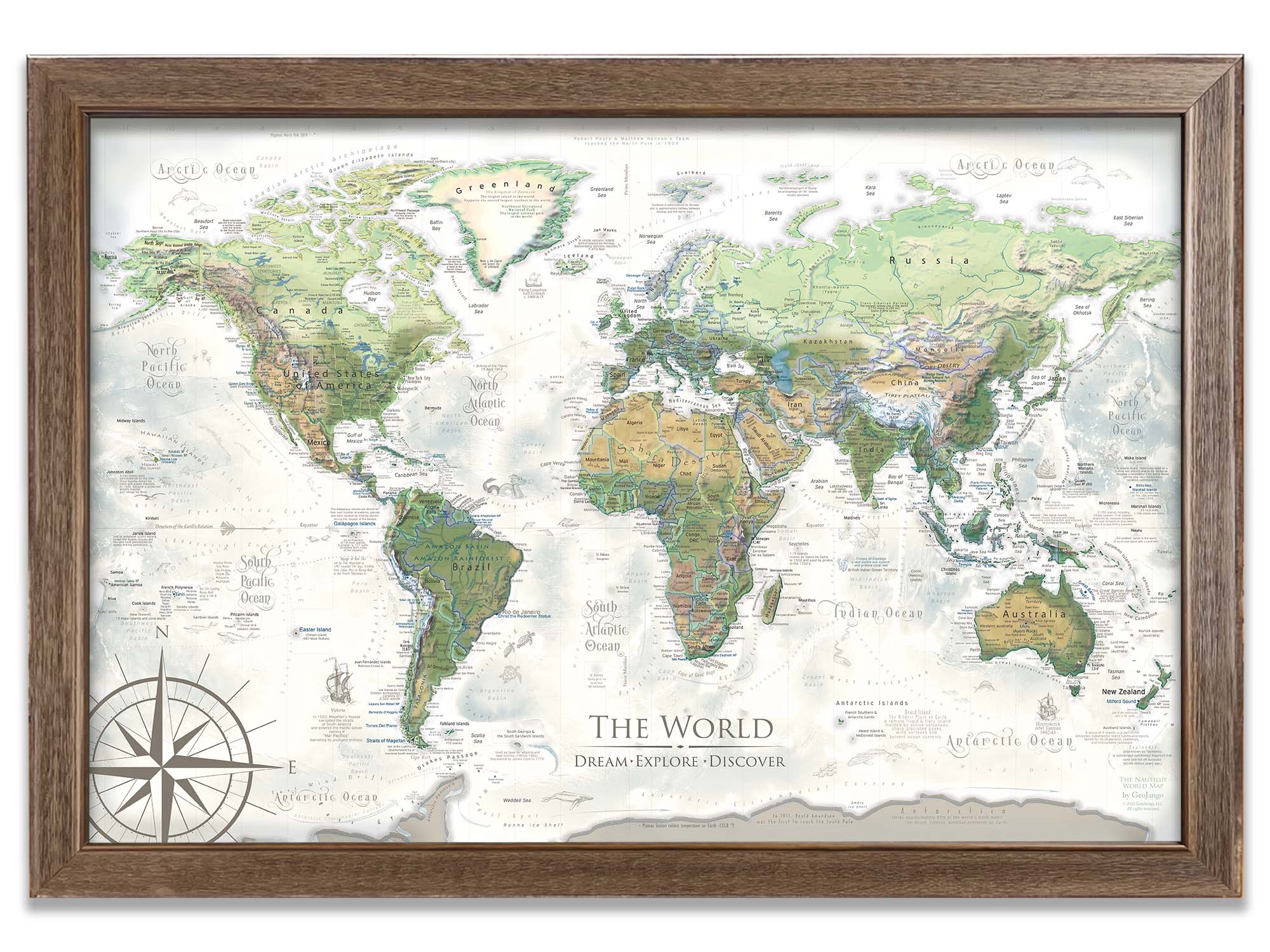
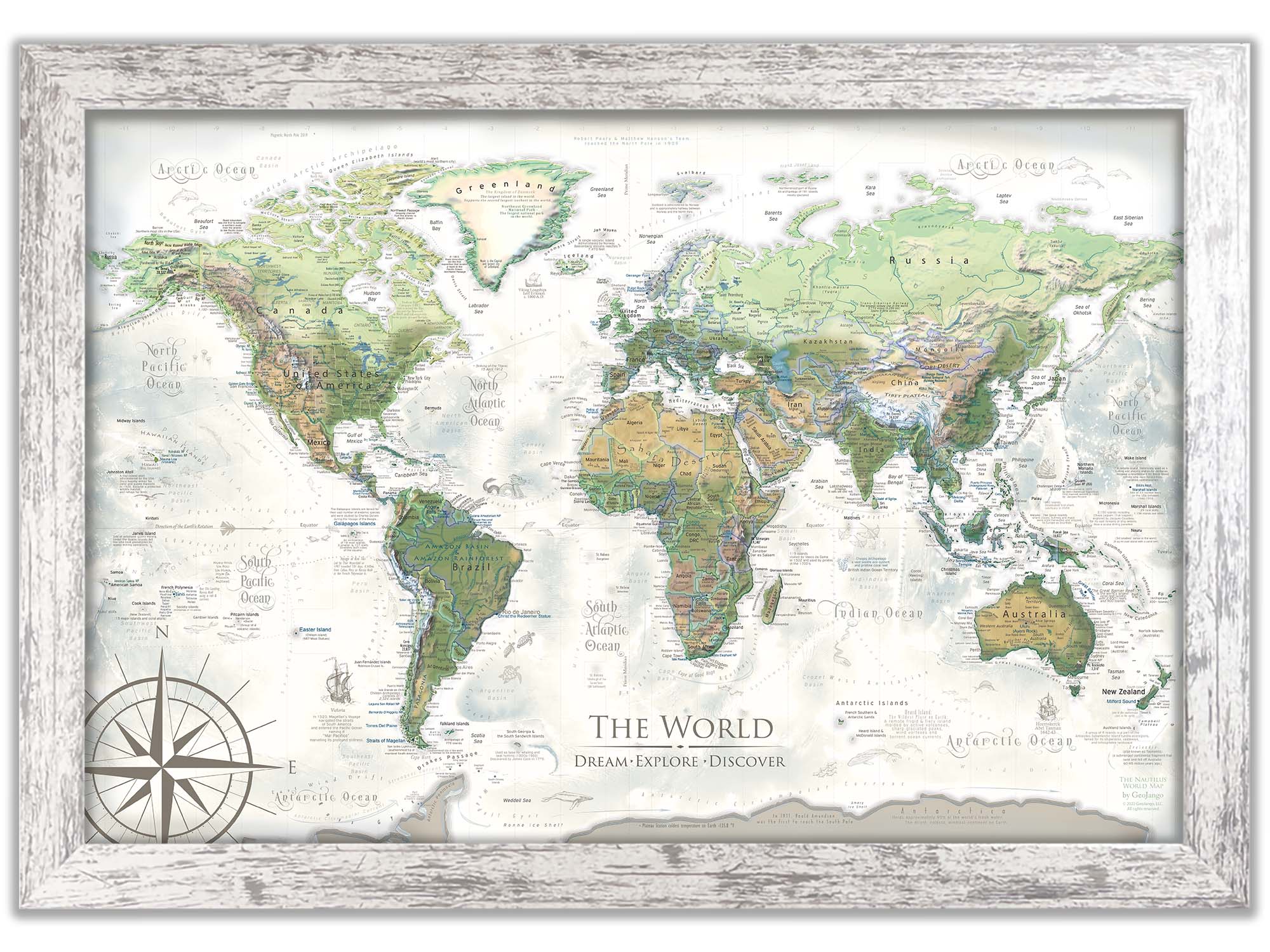
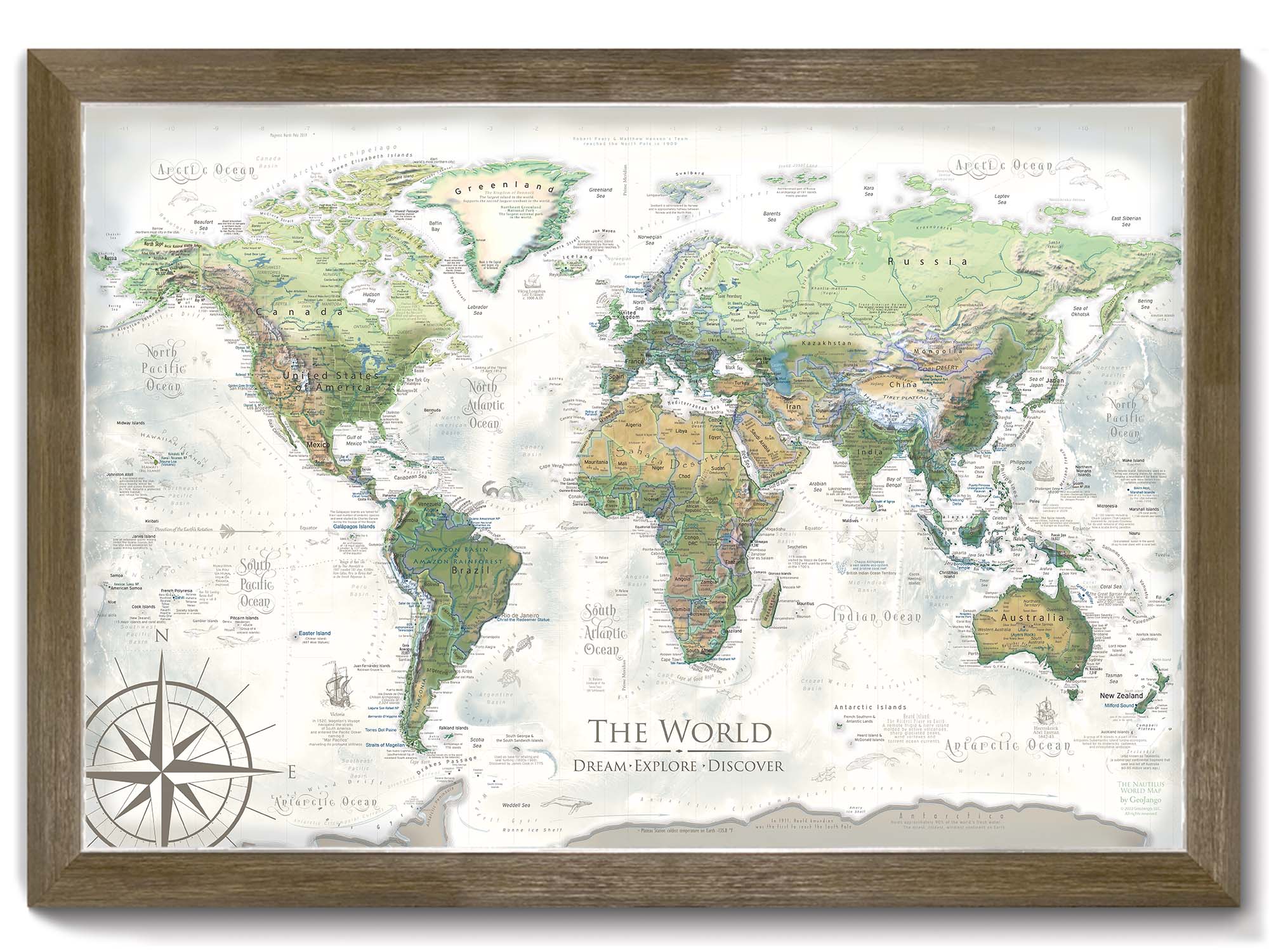
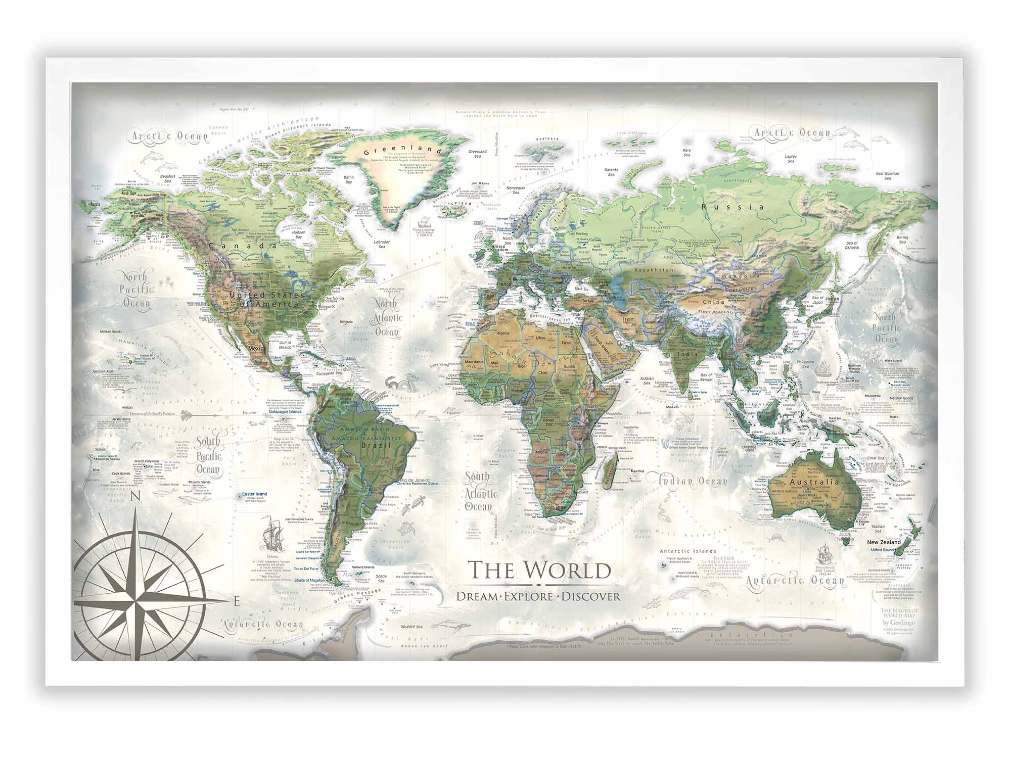
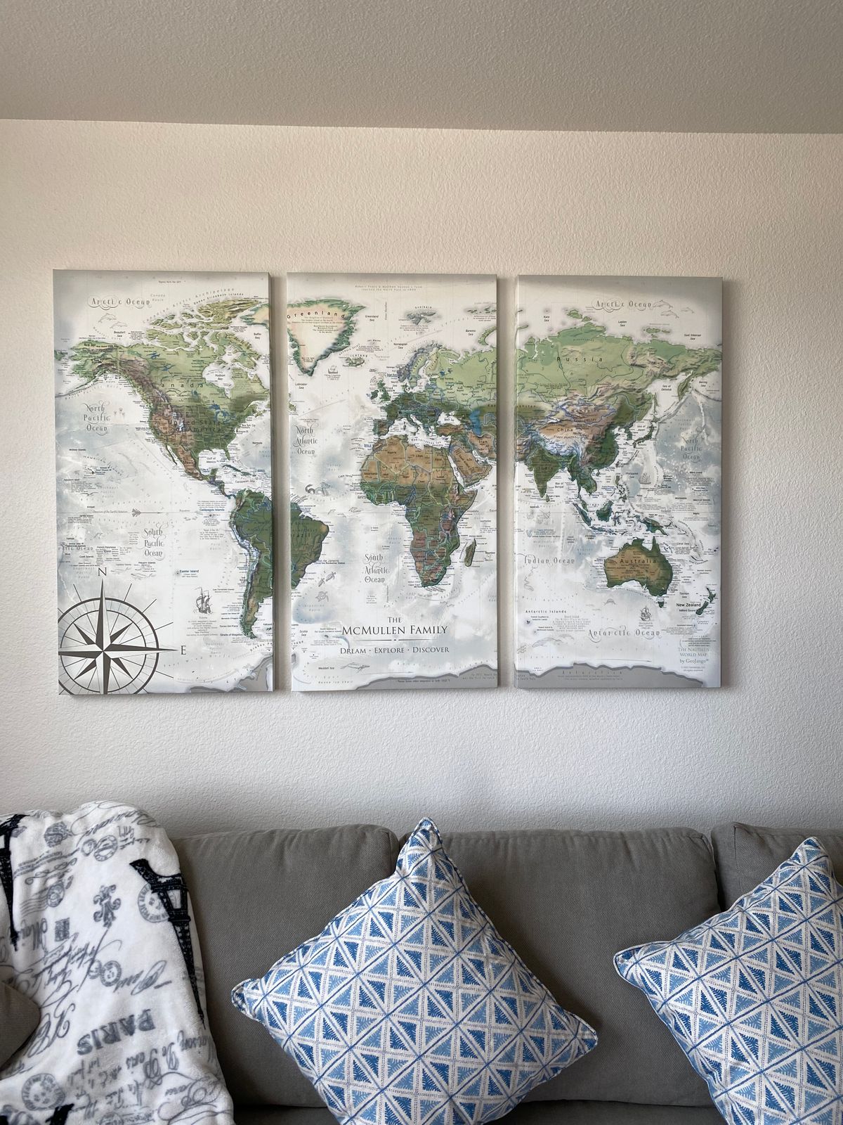
Nautilus World Map: A Masterpiece of Cartography
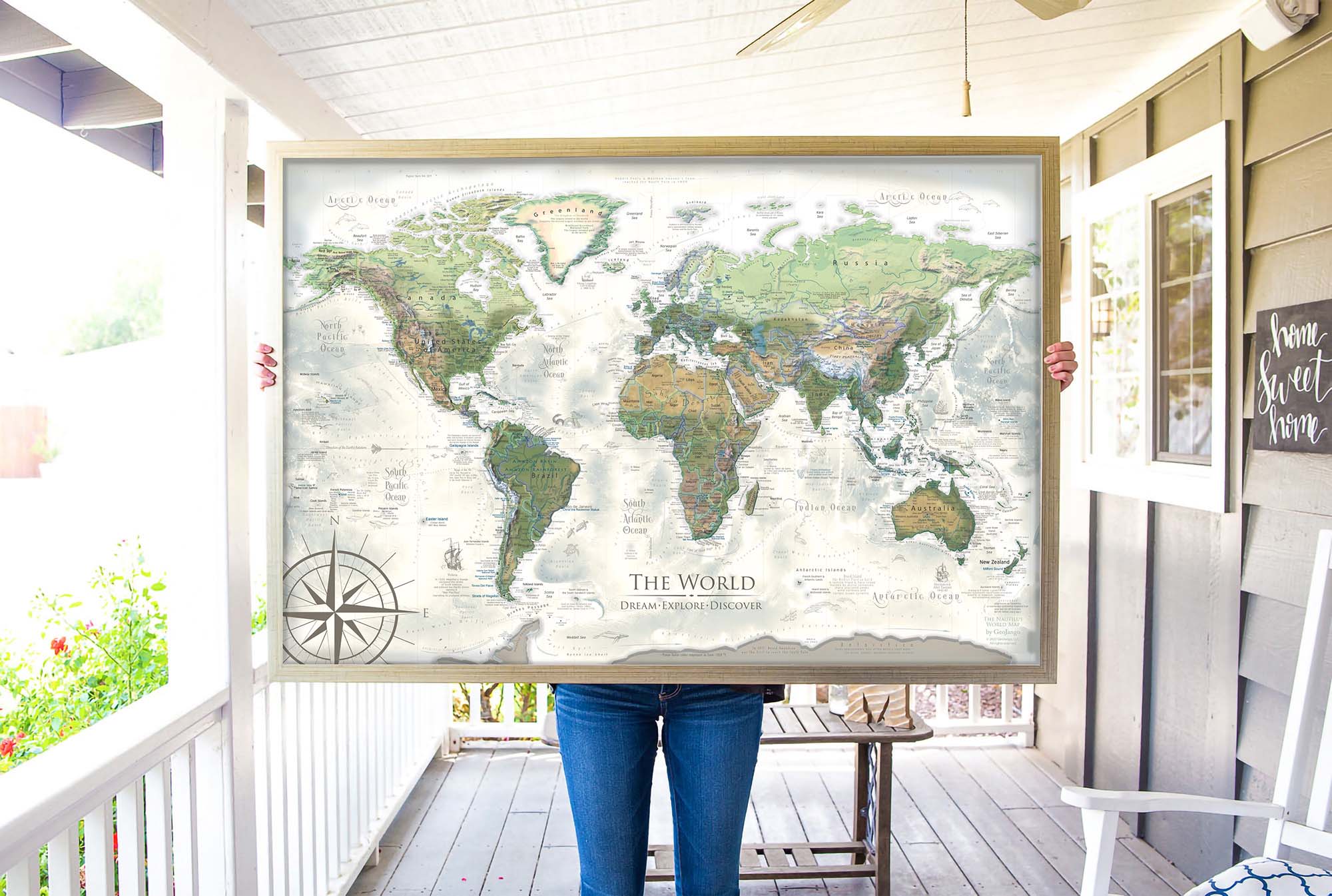
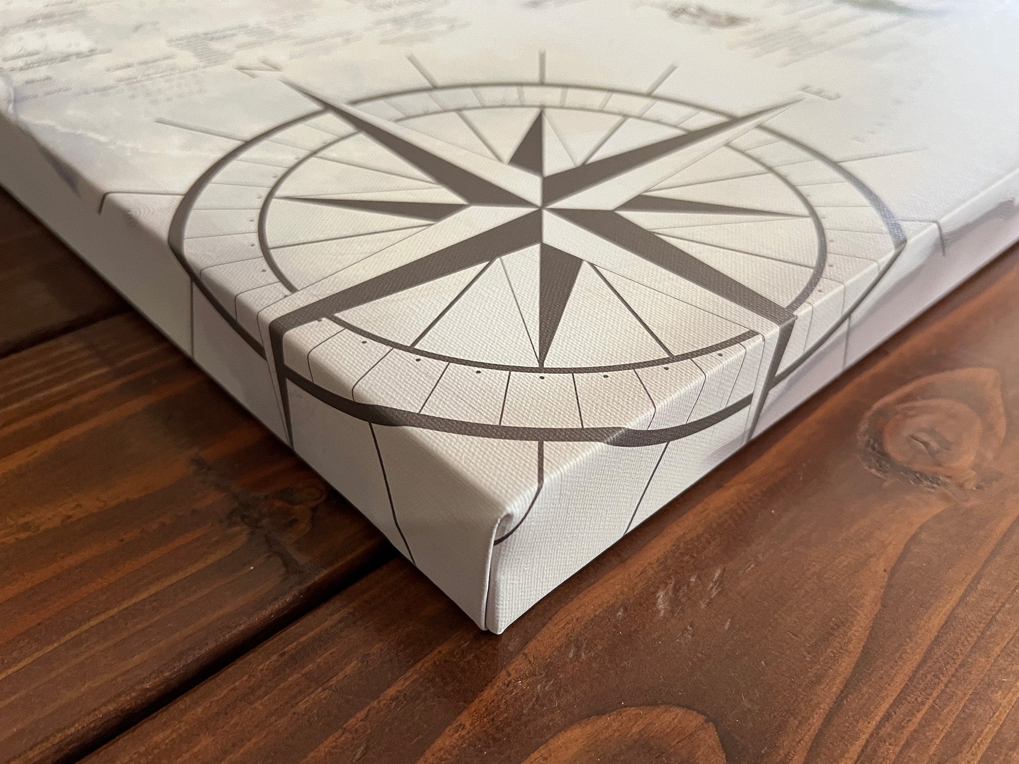
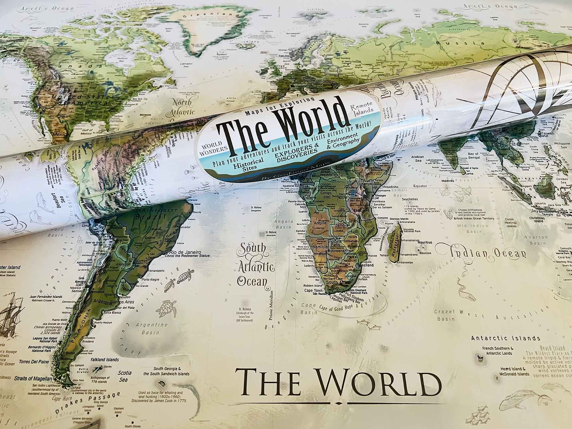
Discover the Nautilus Push Pin World Map, a magnificent blend of art and scientific exploration of our Earth. Crafted with fine art materials, this map serves as both a functional push-pin travel tracker and a stunning piece of wall art. It is meticulously created by skilled cartographers and geographers, encapsulating years of geographic study.
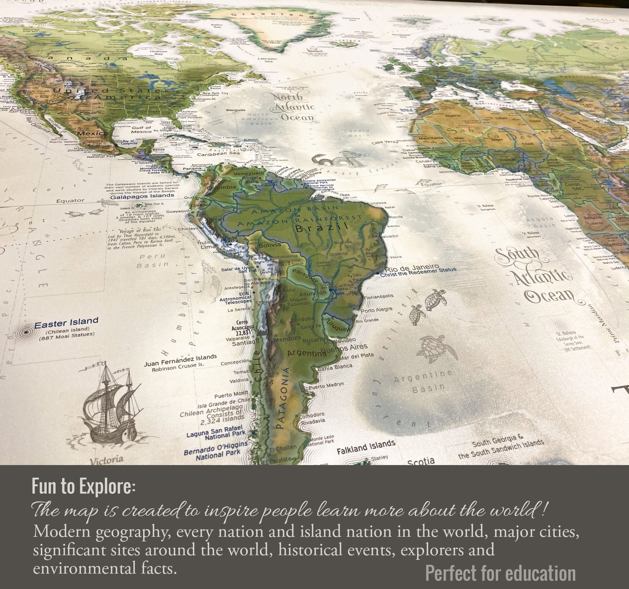
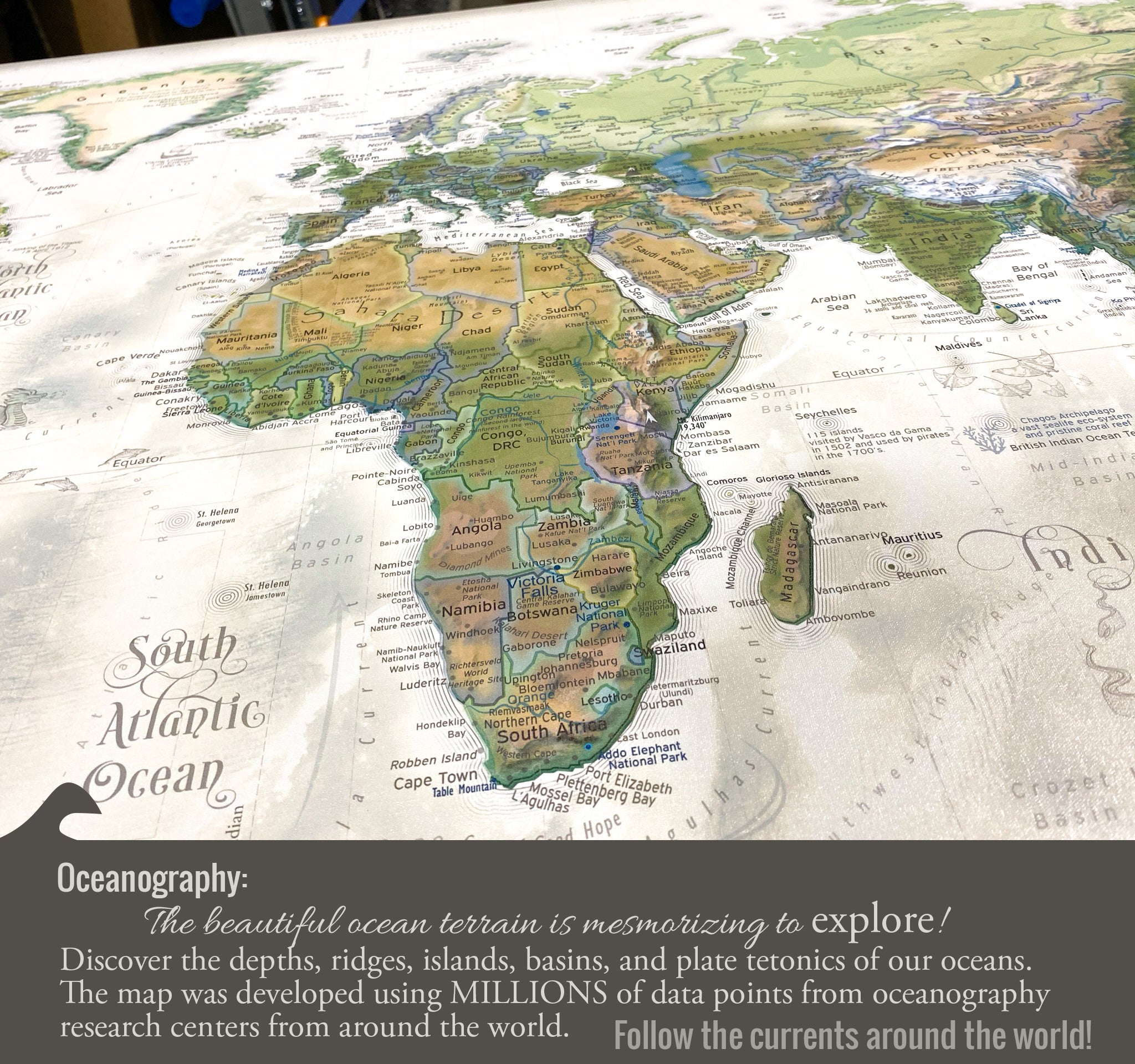
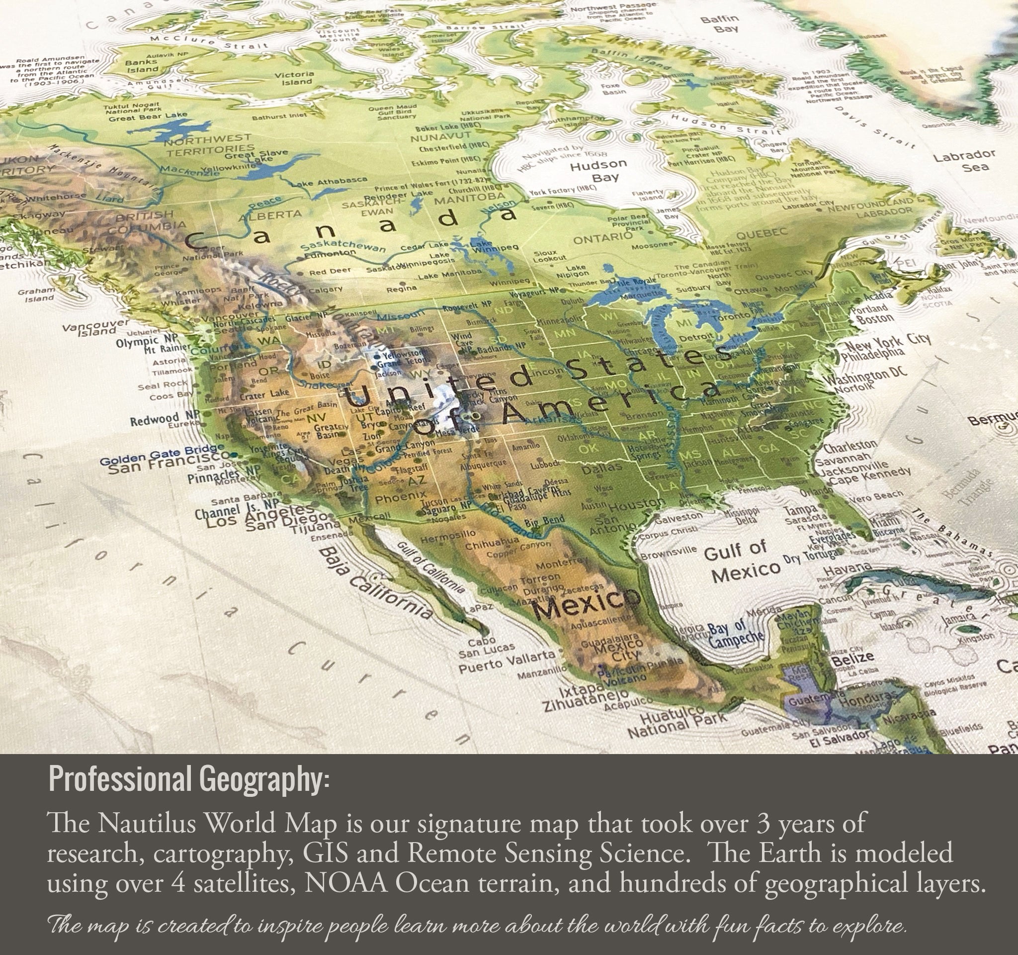
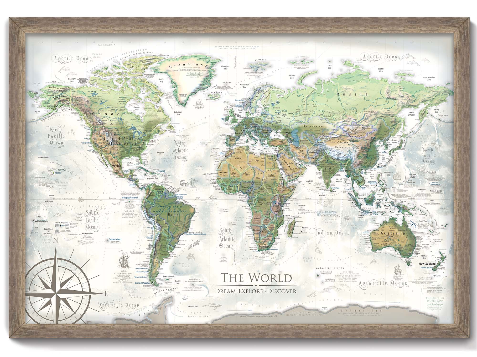
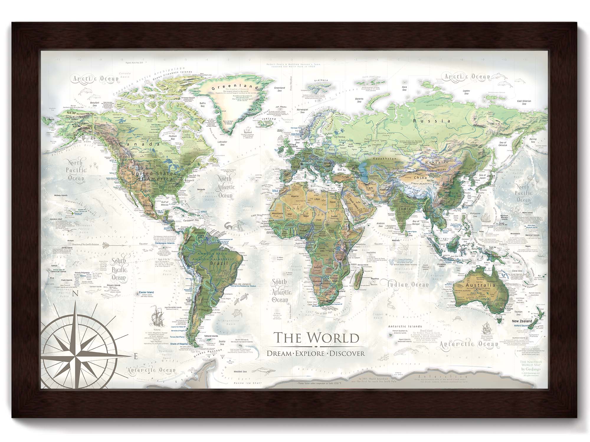
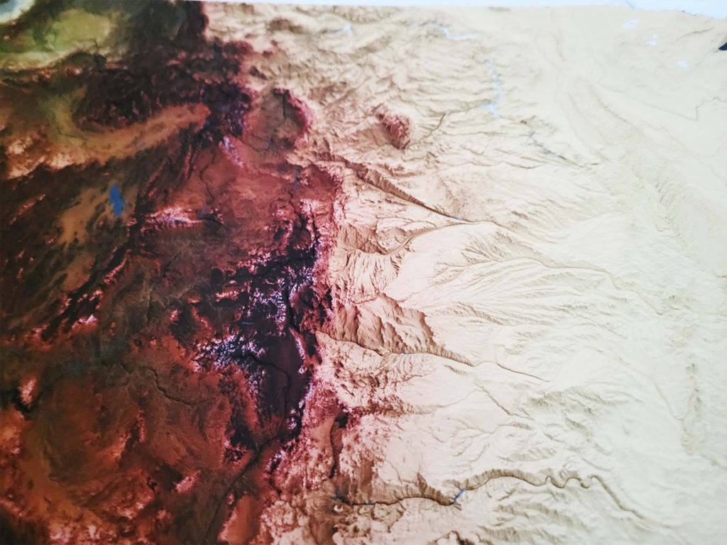
Experience the richness of the world's landscapes with our advanced terrain modeling, which illustrates variations in elevation, and our landscape modeling that differentiates regions such as rainforests, deserts, tundras, mountain ranges, and more. The map provides an extensive array of details, from the deepest ocean trenches to the highest mountain peaks, the courses of ocean currents, to the realms of ancient civilizations.
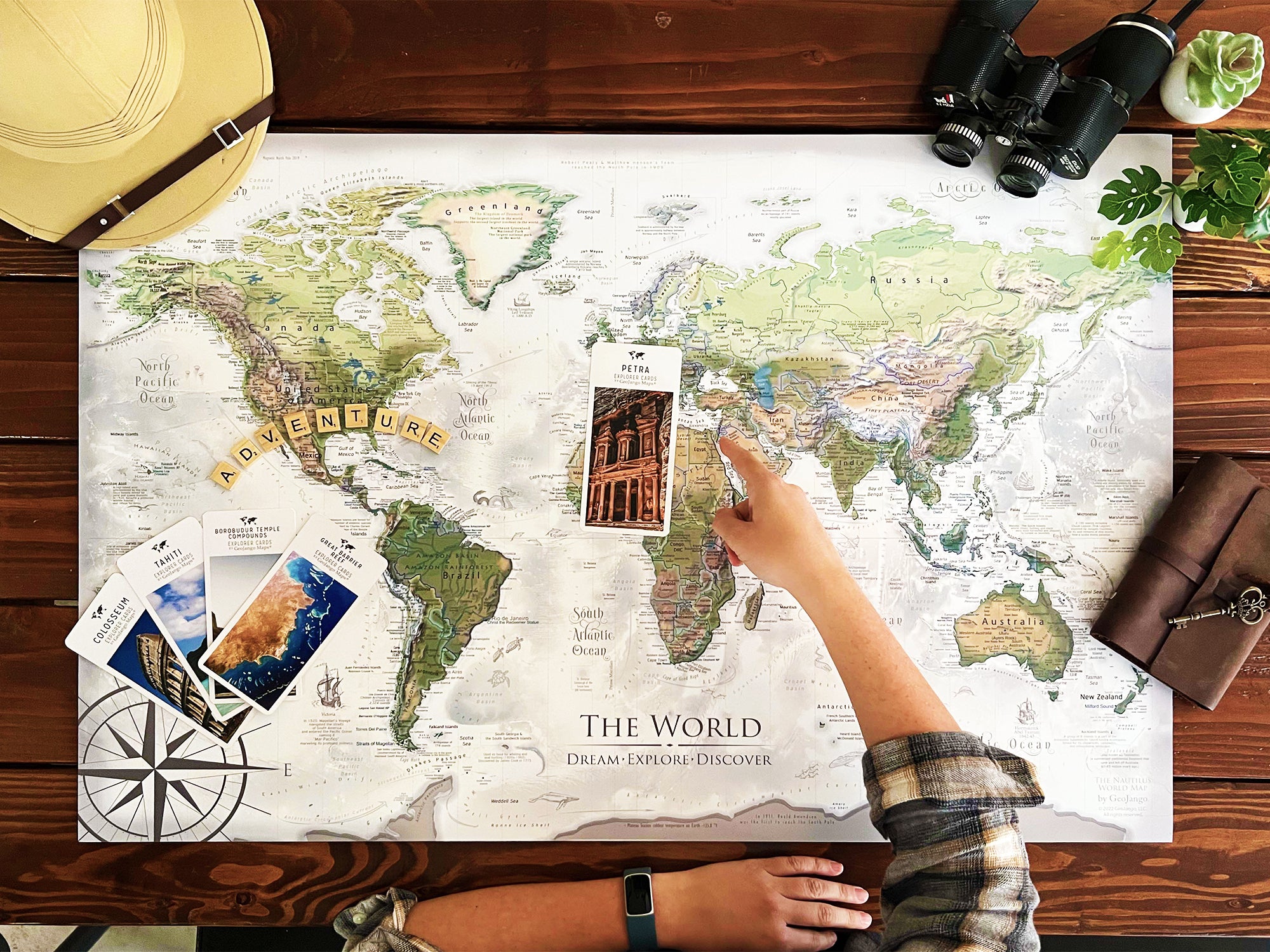
Enhance your understanding of Earth’s physical and oceanographic features through this map. It not only visualizes the planet's natural beauty but also serves as a comprehensive educational tool. The Nautilus map highlights historical routes and noteworthy explorations that shaped the world as we know it today. Use the map as a guide to learn about significant sites on our planet.
Perfect for educators, travelers, and geography enthusiasts, this world map invites you to explore both celebrated and lesser-known significant sites across the globe, making it an invaluable addition to any space.
What is the difference between the maps?: Check out this outline of our world Map Comparisons.
Geographical Data: The map is created using a combination of satellites and developed entirely using numbers, measurements, and GIS software.
We use the USGS LandSat satellite to visualize the landscape on land and NOAA's bathymetry data to visualize the elevation and topography of the sea floor. The famous Space Shuttle Radiometric Topographic Mission, SRTM Data, is used to gather the elevation height for the land. With the data, we applied a hill shade to visualize the shading effects (at 3 p.m. every where on Earth). This is most visible in the largest mountain regions around the world.
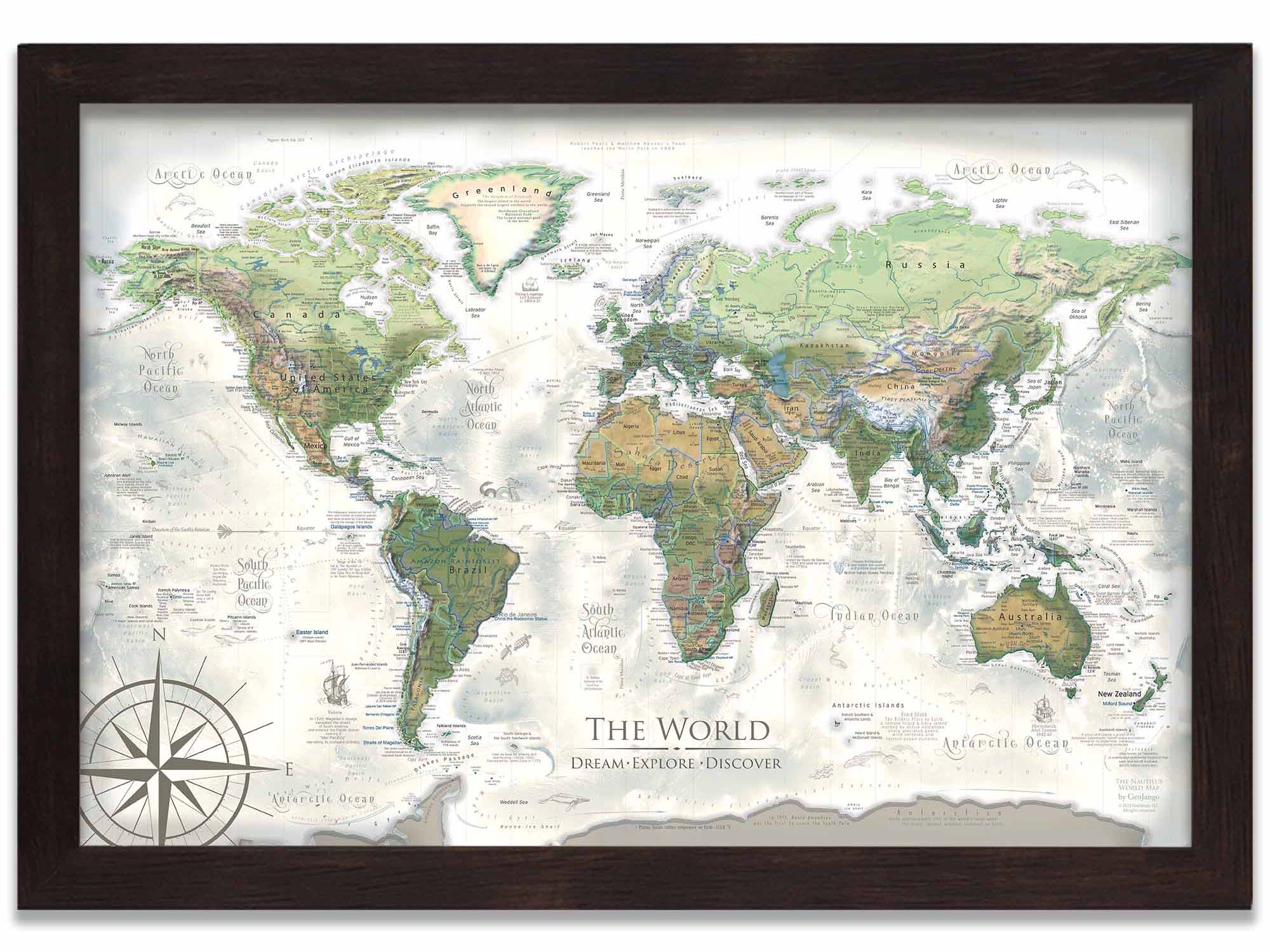
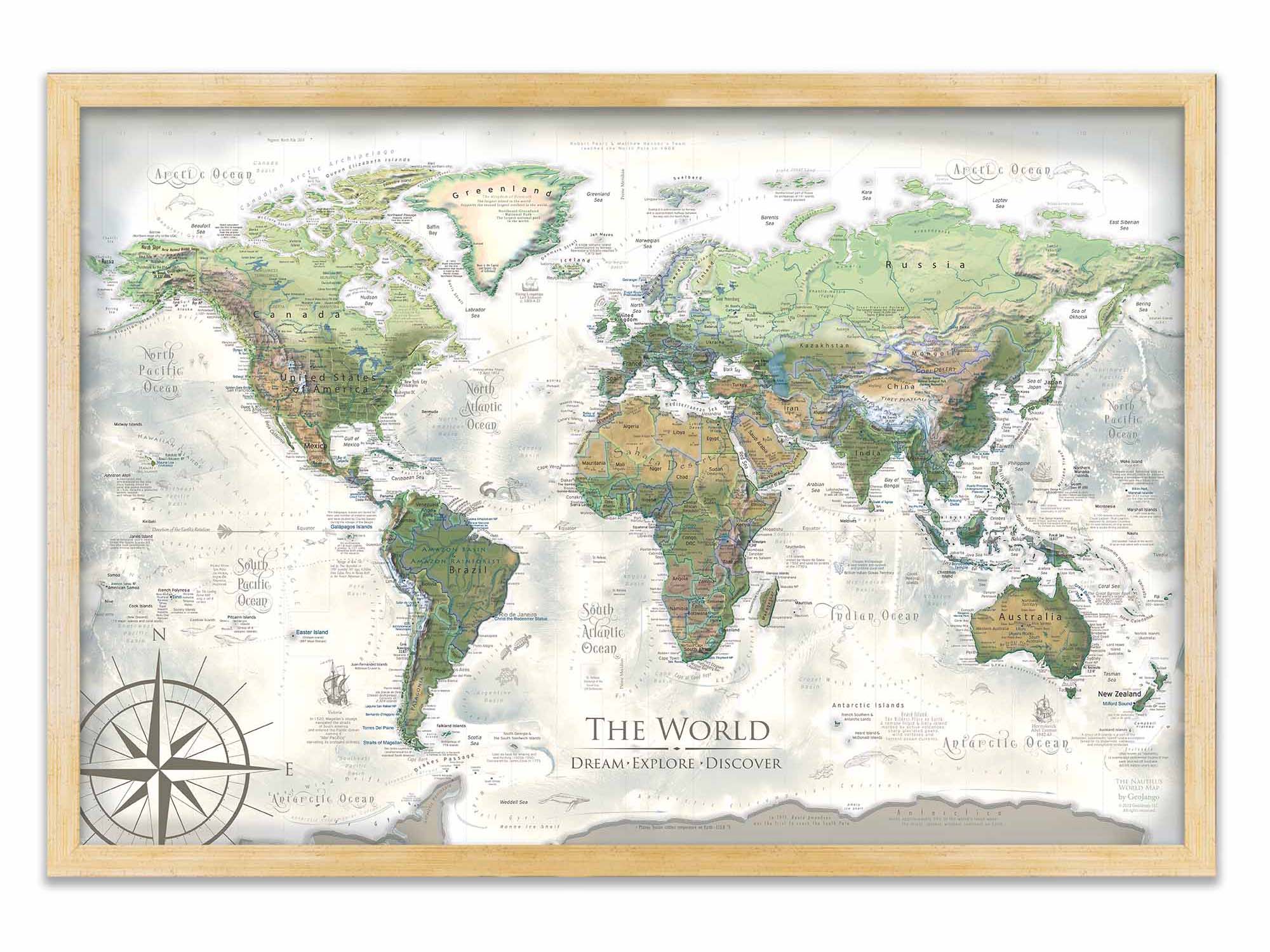
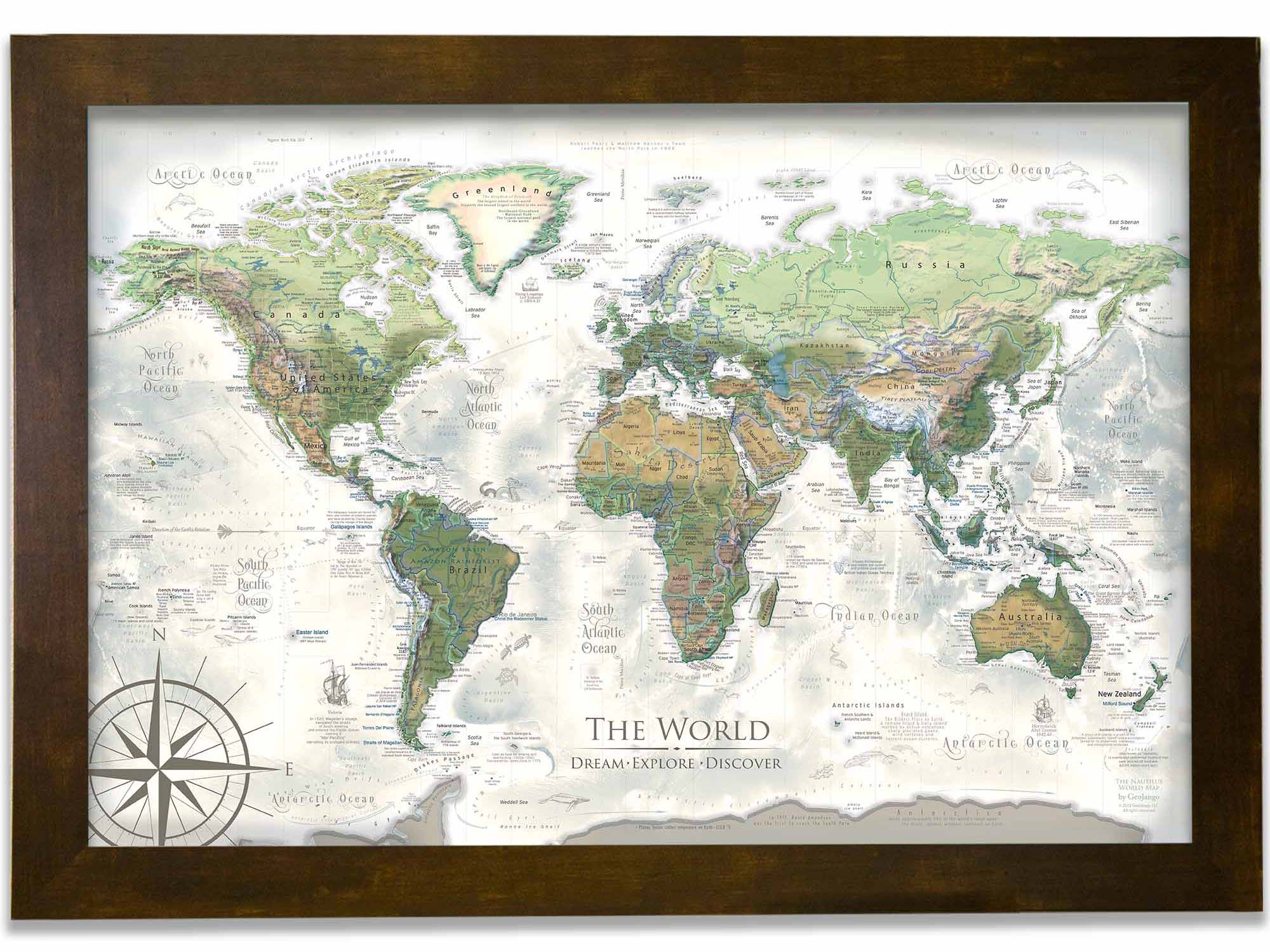
What's the difference between the Nautilus and Voyager World Maps? The Voyager World Maps feature blue oceans and the Nautilus World Map features the ocean in a spectacular spectrum of colors that enhance the visualization of the ocean sea floor.
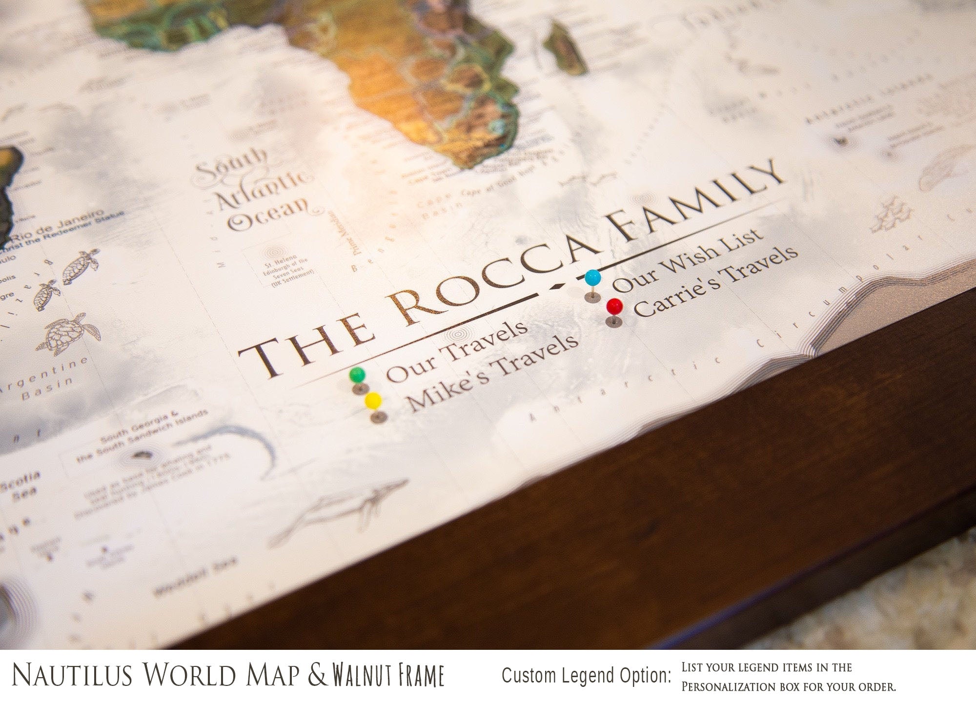
Coordinating USA Map: The Nautilus World Map pairs with our Nautilus USA Map. The two maps feature the same colors and will look great in the same room. You can find all of our USA Maps within the Maps drop down menu at the top of our website.
Primary Colors: Greens, browns, tans, creams, whites, grays
Detailed Map Features:
✪ Geographically accurate and up-to-date referencing
✪ References all countries and nation-states (as recognized by the United Nations)
✪ Labeled World Cities
✪ Labeled USA States and Major Cities
✪ All 63 US National Parks
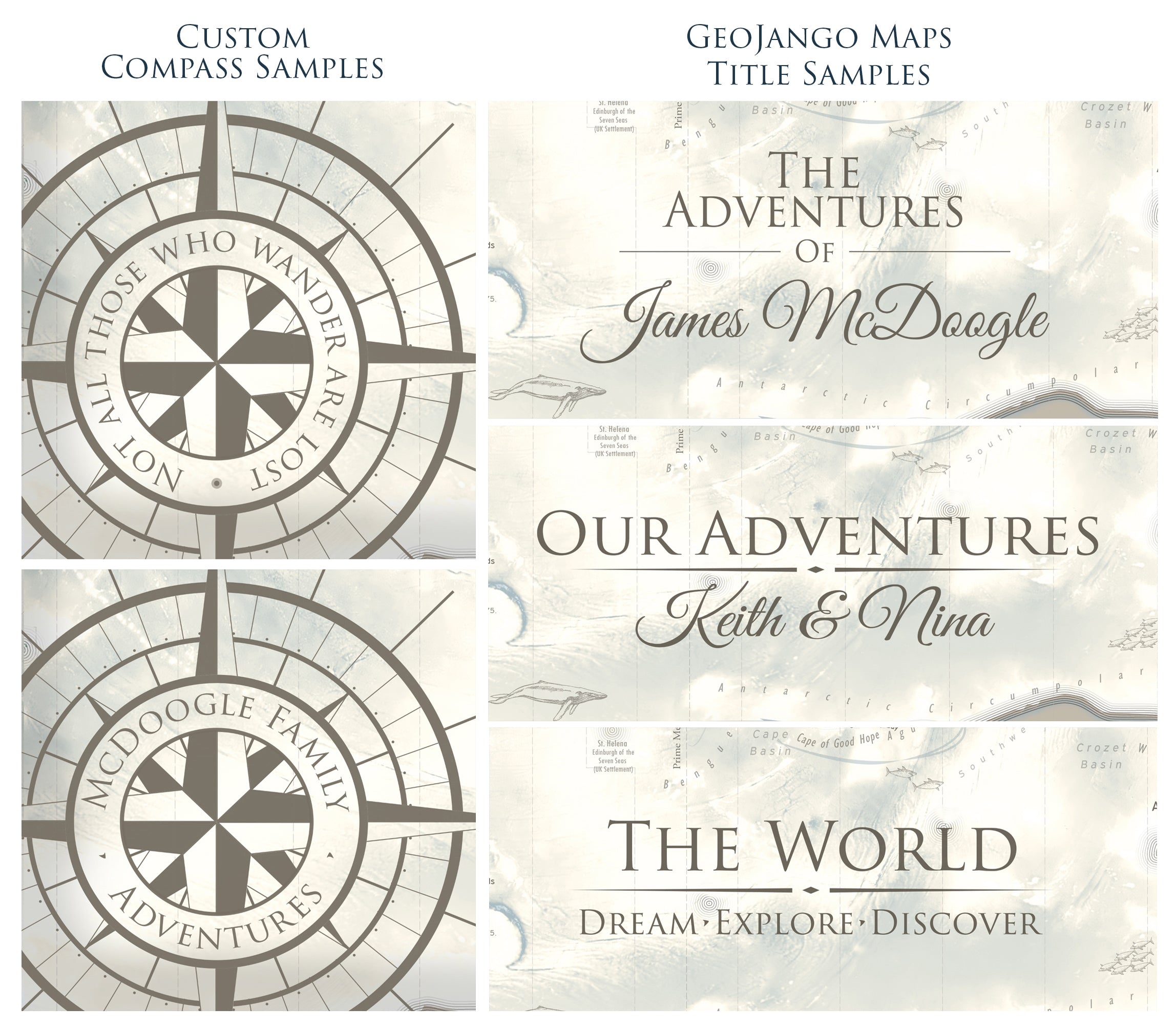
✪ Cartographic illustrations and historic commentary
✪ Current Wonders of the World
✪ Over 100 fascinating places on Earth
▲ Detailed Terrains for Mountains
✪ Elevation, Topography, and Landscape Modeling
▲Tallest Peaks on every continent
✪ Ocean elevation and sea floor modeling
✪ Labeled Oceanic Tectonic Ridges and Basins
✪ Labeled Major Ocean Currents and Trade Winds
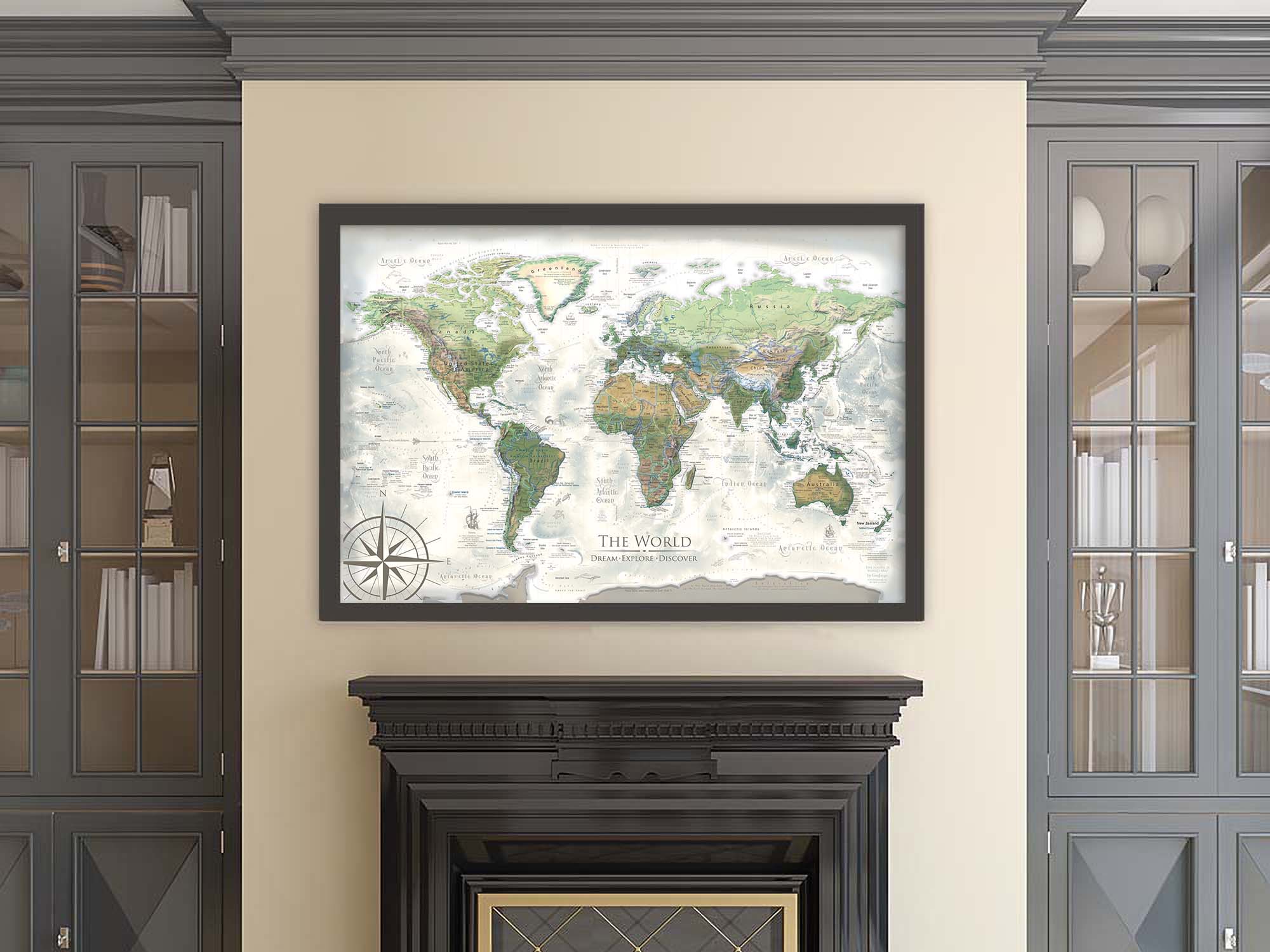
Applications: This World Map is ideal for business, home and offices.
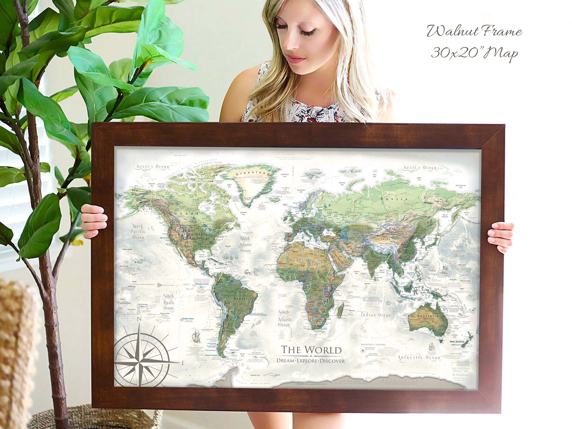
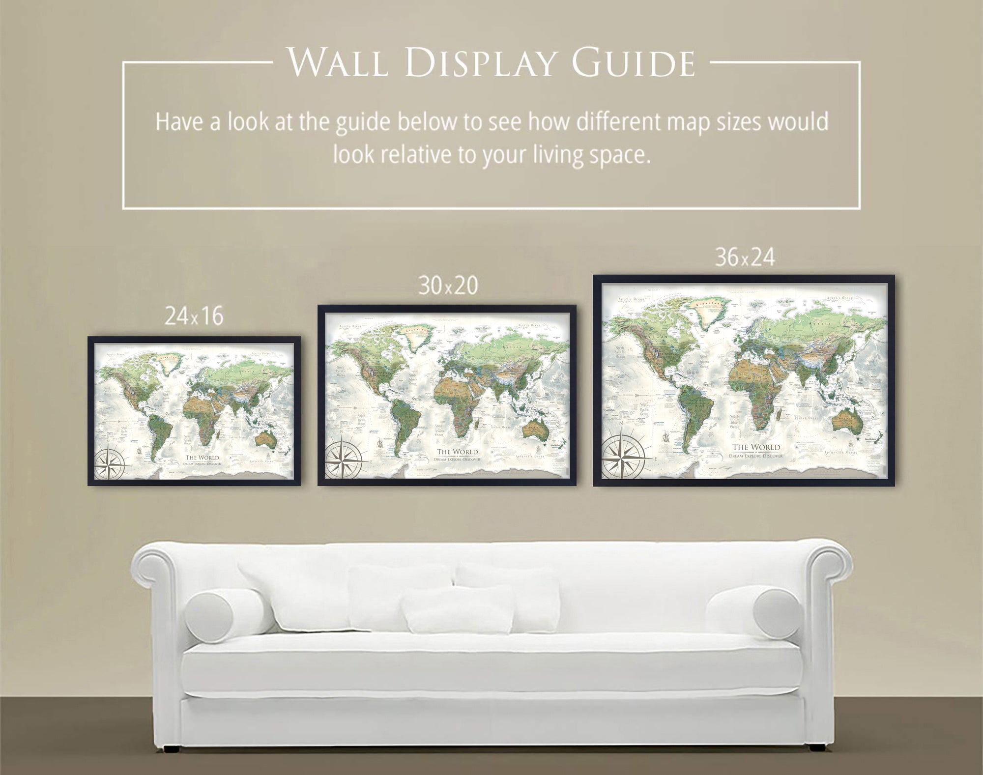
Perspective on Map Size: The map will create a beautiful impression and statement in your space. The larger the map, the more impressive the display. If you love maps, as we do, consider the largest map possible for your space. As a professional geographer, I think displaying a representation of Earth and locations on our planet connects us more with our world and opens up opportunities!