


Reviewed by Gilberto L.
Verified Buyer
I recommend this product
Bought For
Personal Use
Pros
- Beautiful Décor
- High Quality
- Worth the Price
- High Detail
- Unique
Great Nap!
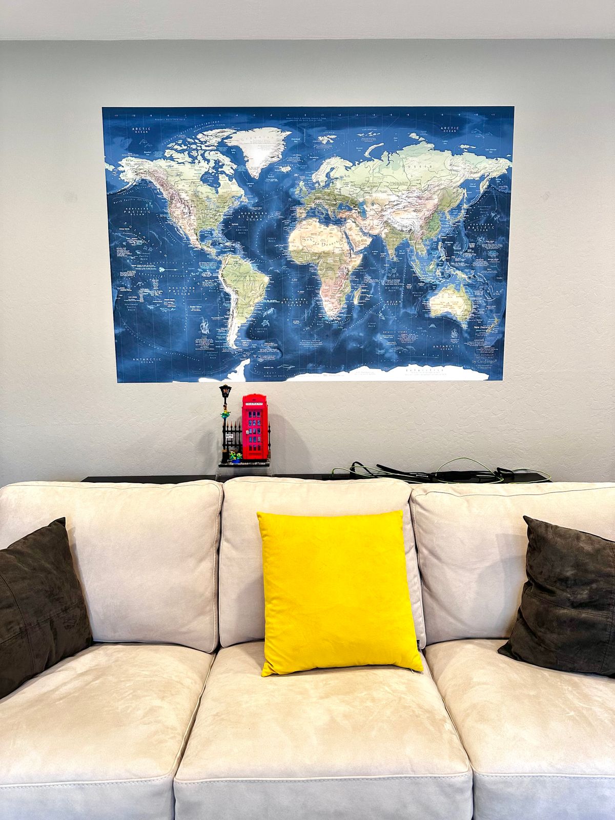
Looks great, easy to apply, arrived on time. Thank you!
Loading...
Was this helpful?
