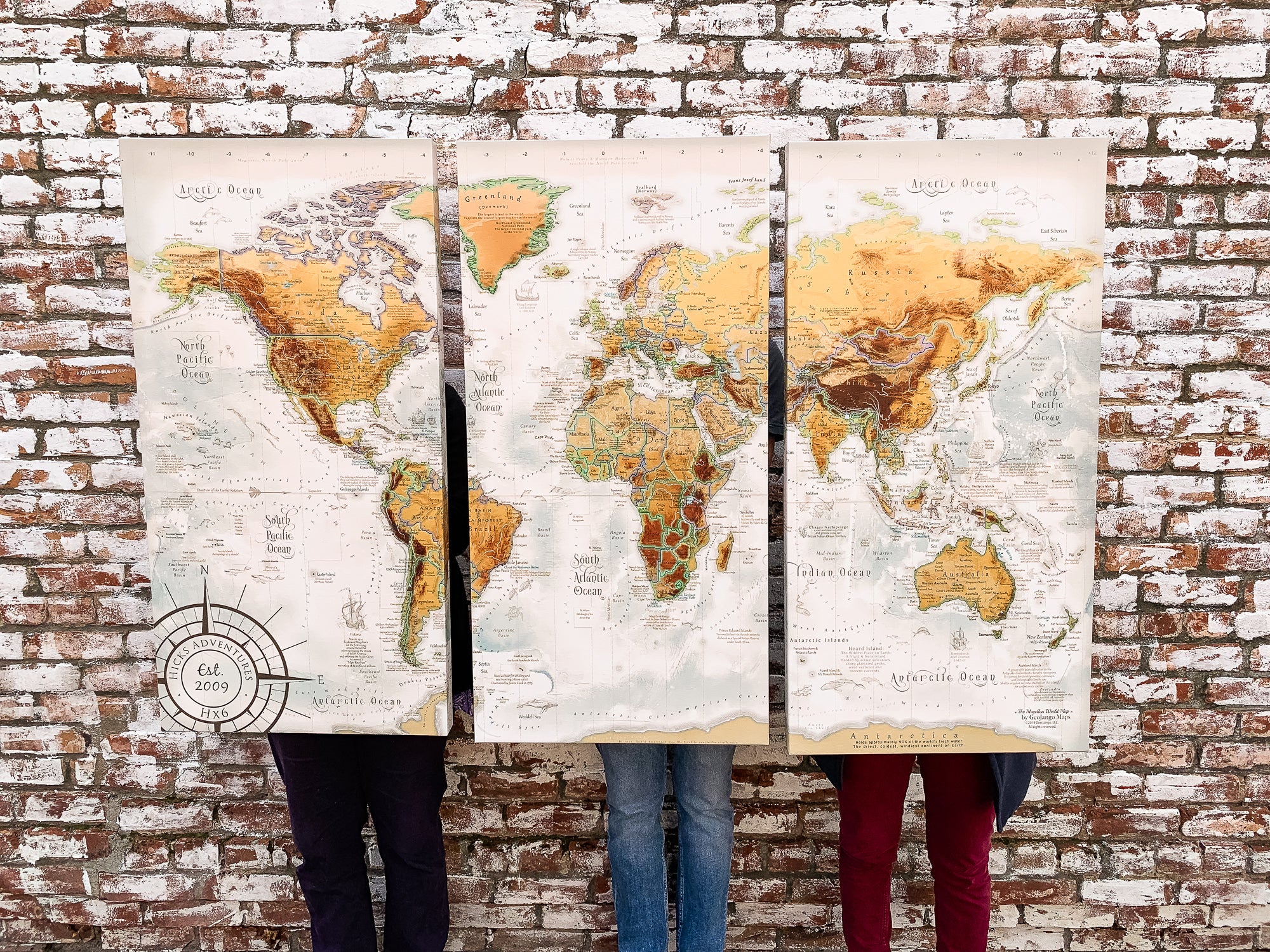
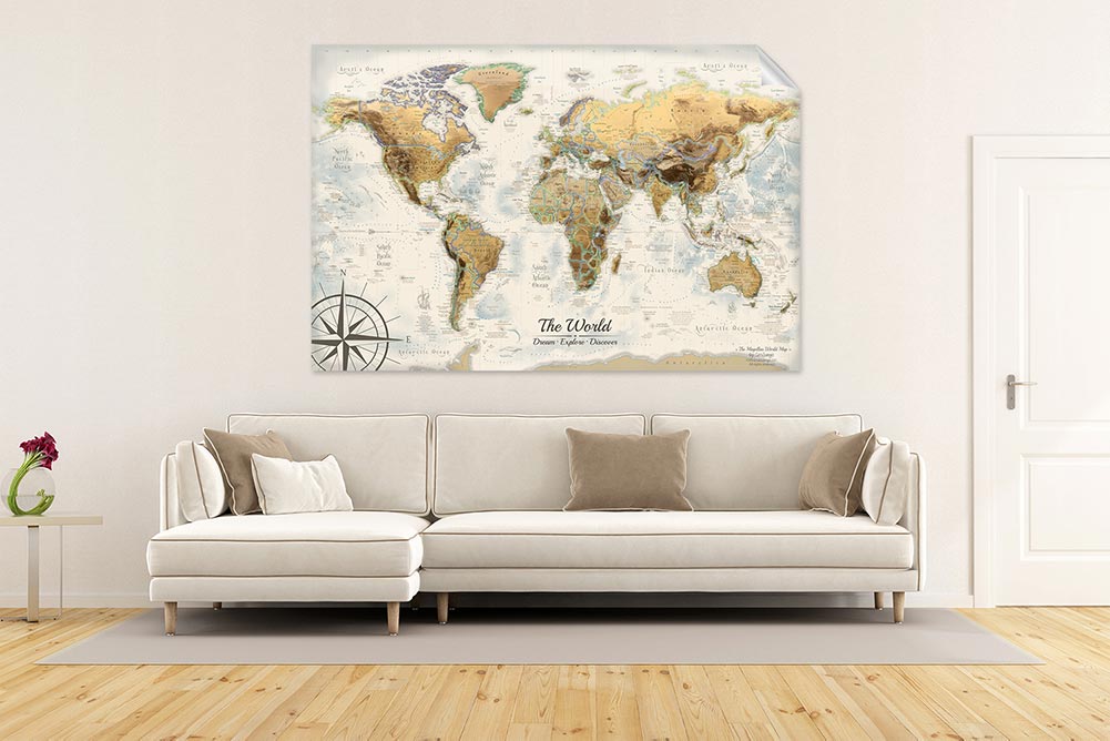
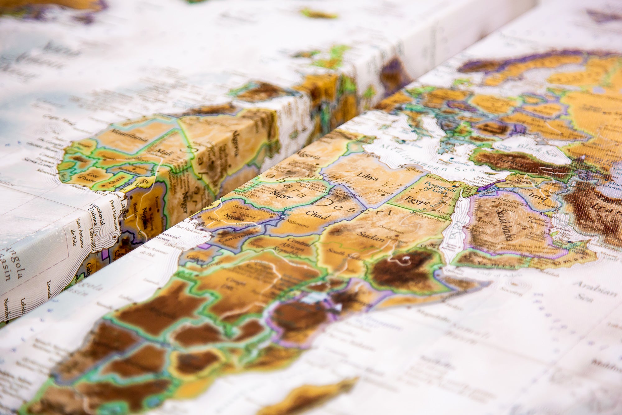
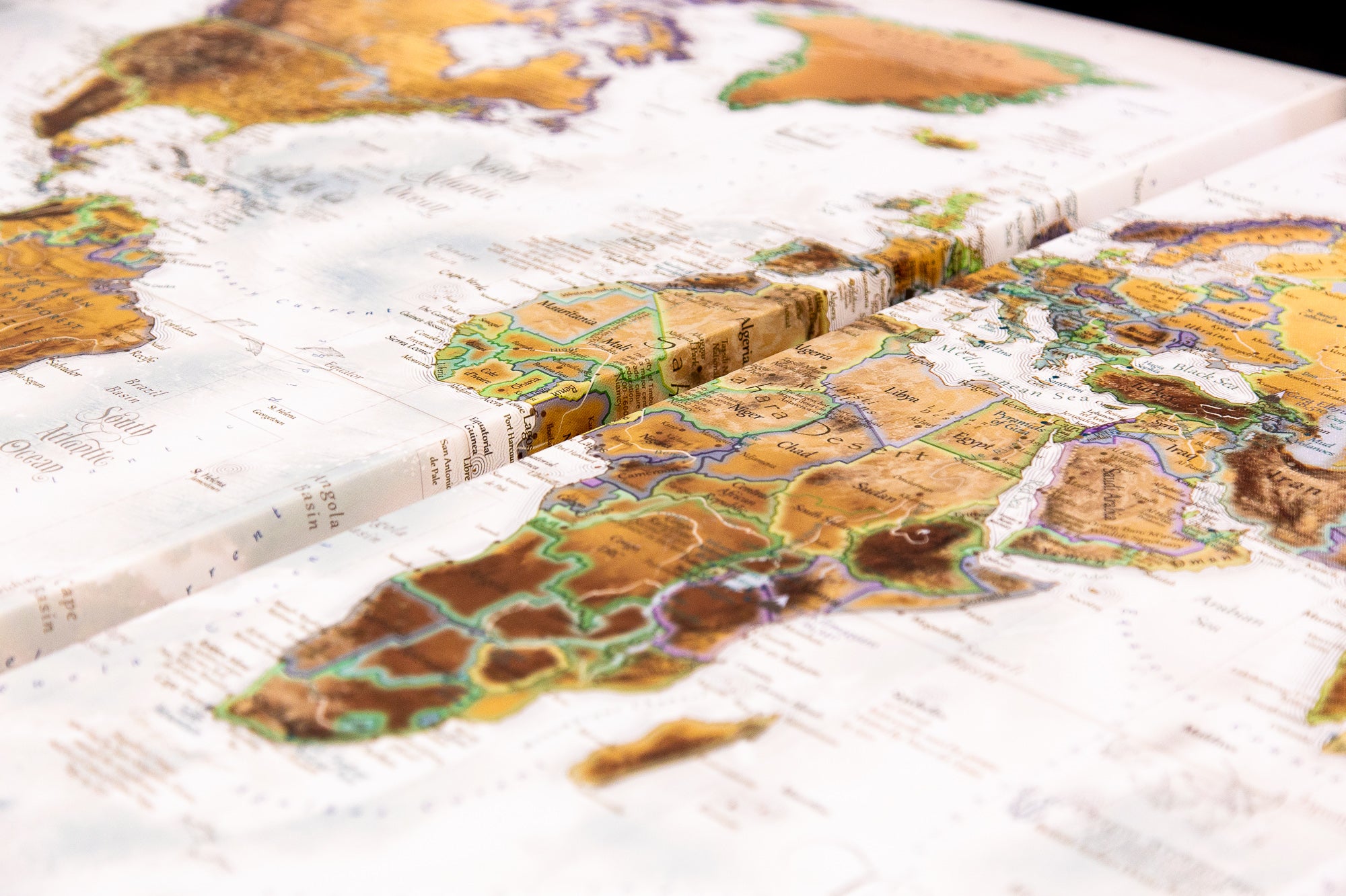
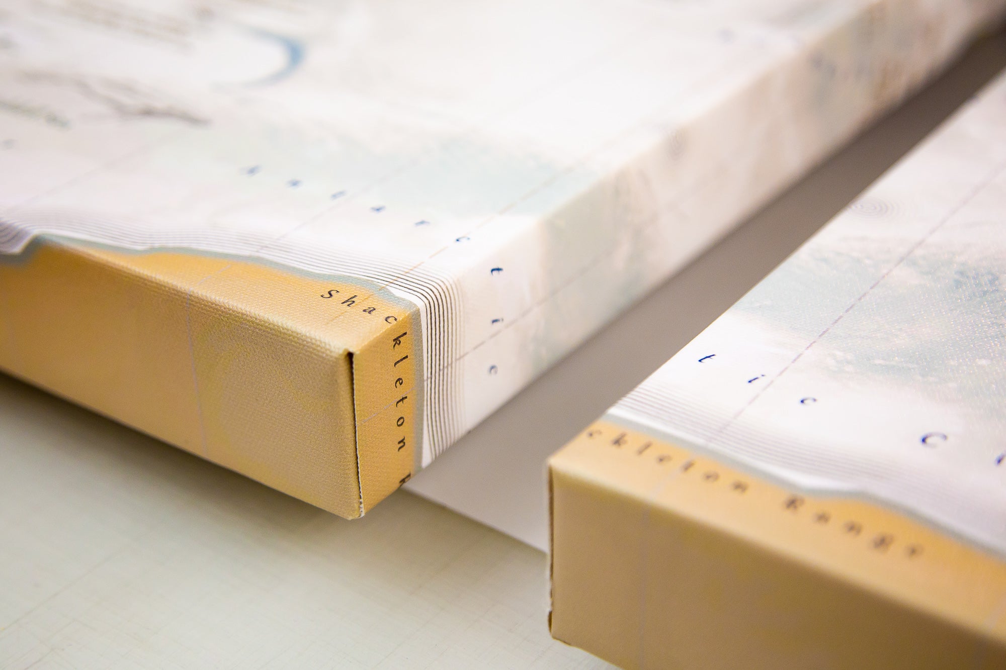
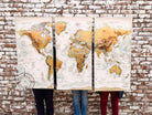
Our Magellan World Map 3 Panel Map is an impressive old-world map style. The 3 panel map is created by expert Geographers, produced as fine artwork and hand-crafted by a professional craftsman. The material includes 3 solid wood interior framed for stretching the premium canvas material. We use the highest quality 2" wood and a tight weaved canvas that is ideal to display the details in our maps. The maps can be touched and push pins can be placed on the map. The map is impressive and a statement piece. It can be used all wall art, reference material, and push pins can be used on the map. The pin holes would be too small to see if any were removed. The quality of the pin backing board is outstanding and built to last of decades. The structure is stronger than traditional foam core pin maps, we use the highest grade of materials for our cartographic work.
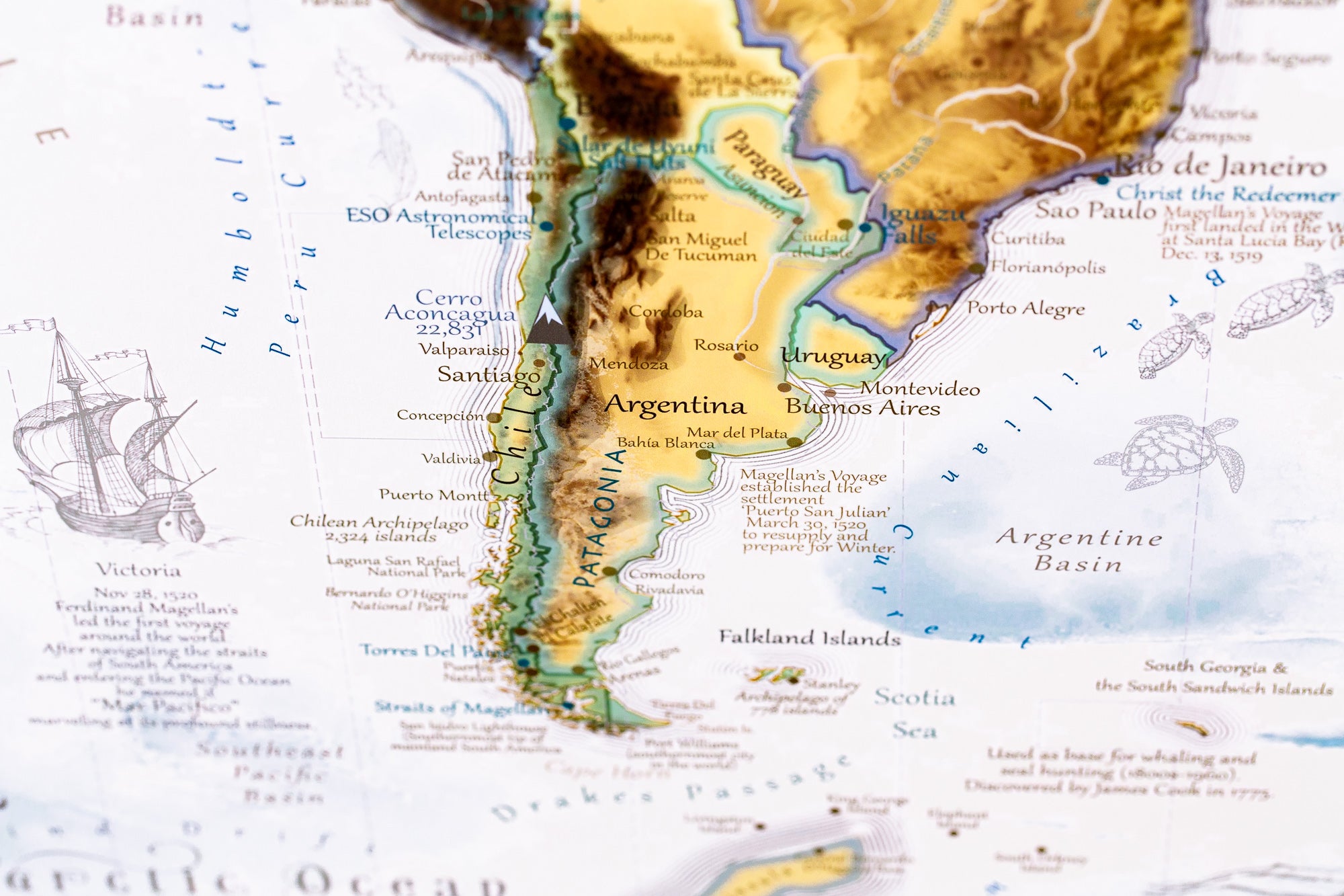
About the Map: The Magellan Vintage World Map features special ocean terrain modeling and is named after the famous explorer Ferdinand Magellan, who pioneered the first ship that circumnavigated the world in the 16th century. The map includes historical details about Magellan's famous voyage.
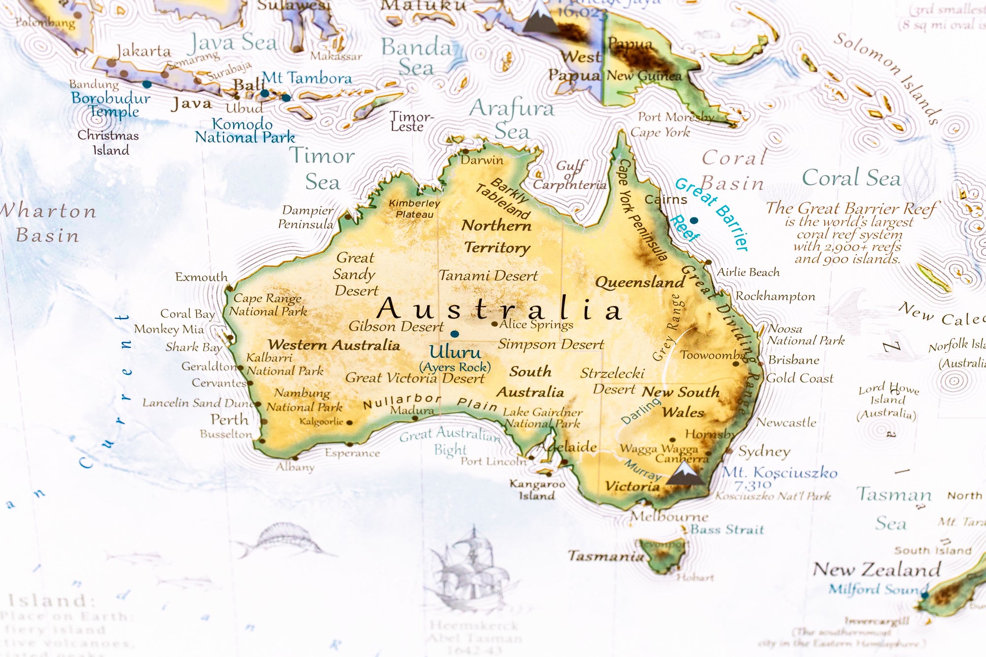
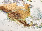
Within this topographical map, you'll find Wonders of the World, UNESCO World Heritage Sites, the tallest peaks on every continent, the flows of ocean currents, and historical commentary. The amount of detail in our maps is truly impressive!
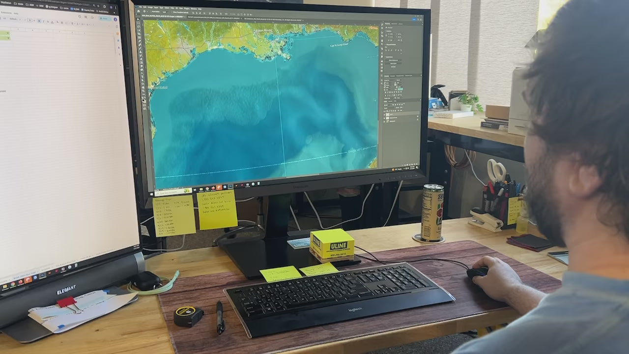
Geographic Data: The map is created using a combination of satellites and developed entirely using numbers, measurements, and GIS software.
We use the USGS LandSat satellite to visualize the landscape on land and NOAA's bathymetry data to visualize the elevation and topography of the sea floor. The famous Space Shuttle Radiometric Topographic Mission, SRTM Data, is used to gather the elevation height for the land. With the data, we applied a hill shade to visualize the shading effects (at 3 p.m. everywhere on Earth). This is most visible in the largest mountain regions around the world.


