


This map is a faithful reproduction of the original 1850 map restored to its former glory using the latest digital imaging technology.


Vintage State of Missouri Map
$39.00
Unit price
/
Unavailable
Standard maps will enter production right away, within the next business day. Larger orders may take more time.
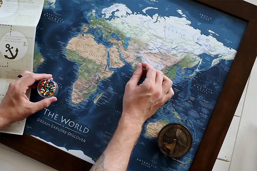
All push pin board maps (framed or canvas wrap) include push pins, are easy to hang, and ship free in the continental US. We'll select the optimal shipping method for fast delivery.
For personalized maps we collaborate closely to guarantee satisfaction. Expect a proof to be sent to you. Your swift responses will facilitate the production and shipping process.
If there are any problems with your map we will take care of you. Returns for all maps are straightforward and hassle-free.
For personalized maps, engaging with the email proofs we send ensures that the final product meets your expectations precisely.
We have 30+ years of cartography experience, meticulously craft each order by hand to ensure excellence, and 100% guarantee your satisfaction. We produce maps that are built to last, with state of the art production and archival quality materials.
Customize with quotes, legends, or dedications using "Personalize Map" options to craft your masterpiece map. Or reach out to us if you don't see the option you want.
We collaborate with you from design to approval of your proof so that you are 100% happy before we print and ship.
Our excellent customer service is always open to you.
Restored 1850's Map
Fine Art Quality
Impressively produced with Archival Inks, Rich Color Depth, and clear and vivid labels. We use premium matte paper.
Expert Craftsmanship
We prepare the map using Fine Art Giclee production techniques. We roll the map in a sturdy tube for shipping to provide a crease-less piece of art.
Vintage State of Missouri Map
- Description
- Specs & Construction
About the Map: Explore the geographic history of the state of Missouri in this historic map. This map is part of our vintage USA State Map Collection showing the geography of the states in the 1850-1860s and the time of the Civil War.
Restoration: The map is a reproduction of the original map meticulously restored to its former glory using the latest digital imaging technology. Using this technology, we carefully restored the colors, torn edges, creases, smeared writings and more. We enhanced features while keeping the original character and design of the map.
This map is unframed, sold as an art print. Frames are shown for illustration ONLY.
Geographic Details: This historic map shows many details of towns, roads, railroads, and waterways in the 19th century of the United States.
Shows historic cities such as St. Louis, Kansas City, Springfield and more!
Explore the historic boundaries of the cities, counties, and states that have changed over the years. Discover physical changes in the geography - such as former lakes and canals used for transportation and agriculture.
Available Sizes: For an impressive display and maximum readability, choose the largest size available.
Smaller size prints make excellent wall art in groups. Please note that there is no guarantee that small text will be legible in print.
Great Gift For: Interior Designs, Teachers, History Buffs, Anniversaries, Birthdays, Friends, Family, and many more!
Production and Shipping Times: The amount of time it takes for your map to arrive depends on where you live and how fast you approve the proof if you’ve ordered a custom map. See Production & Shipping.
Quality and Guarantee: We stand behind our work and guarantee the construction and quality. Contact us if you have any problems with your map and we will coordinate to ensure you are very happy with your purchase.
Materials and Production: This reproduction is printed on Fine Art Museum Quality Paper with giclée inks. The thick paper is archival quality and acid-free with vivid color definition.
Paper details:
- 10 mil thick
- 230 gsm weight
- Museum Quality Matte finish
Made in the USA by a USA Small Business and Professional Geographer & Cartographer.
Shipped in a tube and rolled to eliminate creases.
History of the Time
The 1850s were a dynamic and eventful period in the history of Missouri, marked by economic development, political shifts, and the state's role in the national debates over slavery and its expansion.
Economically, the 1850s brought growth and diversification to Missouri. The state's economy was a blend of agriculture, manufacturing, and commerce. Agriculture was a major component, with crops like tobacco, hemp, and corn playing significant roles. The state's location along the Mississippi River and its well-developed transportation networks, including steamboats and railroads, facilitated trade and connectivity to regional and national markets.
The issue of slavery loomed large in Missouri's history during the 1850s. The state's geographical location, with part of it lying north of the Mason-Dixon Line and part of it south, contributed to divided sentiments on slavery. While some parts of the state were more aligned with the institution, others were more sympathetic to antislavery views. The passage of the Fugitive Slave Act of 1850 heightened tensions and intensified the debates over slavery.
Missouri's political landscape was shaped by the ongoing debates over slavery and the nation's sectional divisions. The state's commitment to states' rights positioned it as a stronghold for the Democratic Party, which faced internal divisions over the issue of slavery. The formation of the Republican Party, which opposed the expansion of slavery into new territories, reflected the broader national divisions and political realignments.
Cultural and social developments were also prominent during the 1850s. Education was a priority for the state, with institutions like the University of Missouri contributing to the state's intellectual growth. The state's diverse population, including both enslaved individuals and free people, contributed to its cultural fabric.
As the 1850s came to a close, Missouri found itself on the brink of significant change. The election of Abraham Lincoln as the 16th President of the United States in 1860 set off a chain of events that would lead to the secession of southern states and the outbreak of the Civil War. Missouri's position as a border state placed it in a unique situation, as it remained part of the Union but was deeply divided over the issues of slavery and secession.
In conclusion, the 1850s were a transformative period for Missouri, marked by economic development, political divisions, and the state's role in the debates over slavery and its expansion. Missouri's alignment with states' rights, its diverse population, and its complex position as a border state showcased its evolving identity and influence within the broader narrative of American history.
