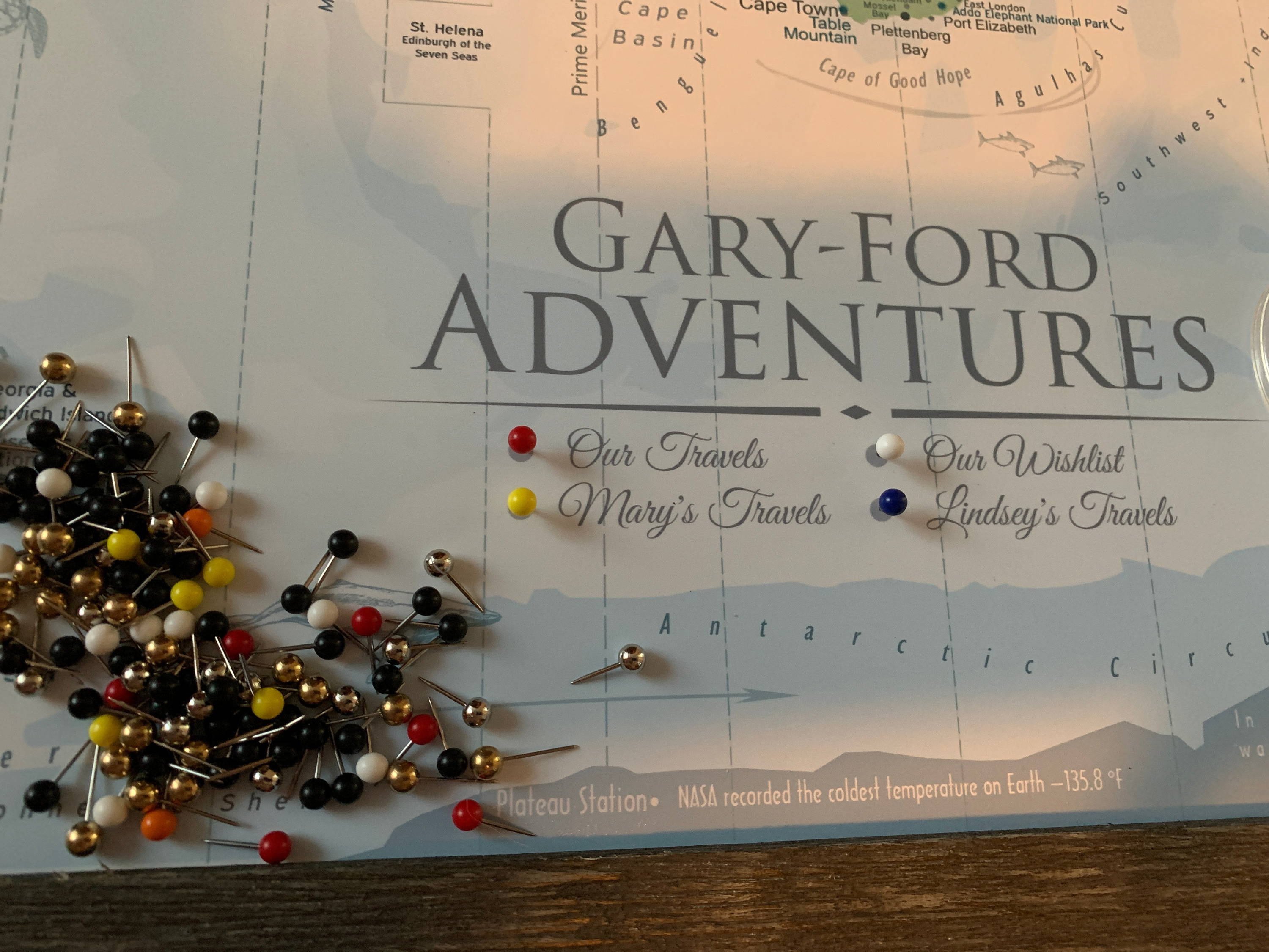
Maps can be inspirational and educational. When they are skillfully created, they are a worthy investment. The true value of the map is appreciated over time. The depth of information, illustrations, and references should support exploration and inspiration to learn more about the world.
1. Who made the map?
Check out the author's credentials. Experience and education in Geography and GIS (modern mapping) shows how serious the author is about creating maps. Watch out if the map maker made the map because they "like to travel" or because they "couldn't find a map that they liked" so they made their own. Mapping is a science and is taken seriously by professionals. The world is a big place and experienced cartographers reveal fascinating information.
2. Is the map comprehensive?
Chances are, the push pin travel map that you select will need to be well-made to last a lifetime and inspire you to learn more about the world.
Professional Geography is essential. Be aware that most push pin map companies have no background in Geography or Geographical Information Systems. Just because a map may appear nice at first glance, the depth of geographic information is important, especially as your travels expand.
When evaluating a map:
Look for layers of information in the map: topography, oceanography, terrain landscapes, climatology, ocean currents, geographical references, and comprehensive labeling. Be aware if the ocean area is filled out with simple blotching (otherwise known as faux ocean effects). Illustrations of true details of the ocean are far more interesting to explore. The ocean should provide it's own natural artistic effects. Look in the Atlantic Ocean for the North American Ocean Ridge. Notice is the ocean colors illustrate the depth of the ocean. You should be able to see the shallow sea elevation near the North Pole and the deep basins in the Pacific Oceans. On land, look for detailed cities, major rivers (Nile), and major lakes (USA Great Lakes). Notice if the map references important landscapes including the Sahara and Gobi Deserts, Amazon and Congo Rain Forests and major mountain ranges like the Andes, Himalayas, and Rockies.
3. Intriguing Details
Look for layers of information in the map: topography, oceanography, terrain landscapes, climatology, ocean currents, geographical references, and comprehensive labeling. Be aware if the ocean area is filled out with simple blotching (otherwise known as aging effects). Illustrations of true details of the ocean are far more interesting to explore. The ocean should provide it's own natural artistic effects. Look in the Atlantic Ocean for the North American Ocean Ridge. Notice is the ocean colors illustrate the depth of the ocean. You should be able to see the shallow sea elevation near the North Pole and the deep basins in the Pacific Oceans. On land, look for detailed cities, major rivers (Nile), and major lakes (USA Great Lakes). Notice if the map references important landscapes including the Sahara and Gobi Deserts, Amazon and Congo Rain Forests and major mountain ranges like the Andes, Himalayas, and Rockies.
For World Maps look for:
-
Look for special elements and attractive features in the map. Special touches like these will keep you interested in the map for years.
- Landmarks that highlight significant geological and cultural locations
-
Historical events which help tell important details in history
-
Oceanic terrain details which help illustrate the physical rise to islands along the many of the oceanic ridges
4. Accuracy
Mapping is a science. Modern maps are created using Geographical Information Systems (GIS) software that accurately references Earth and displays the map in special projections to minimize distortions. Watch out for maps that are simple colored countries. Maps like these won't get you very far. They give rise to poor referencing information that lack depth and expertise in comprehensive geography. You can spot some of these by their spare labeling and flat colored terrain. Look at Greenland. Does the map illustrate the country as a large elongated shape? Greenland has a rounded-rectangular shape and is approximately the same size as the Saudi Arabia Peninsula.
5. Overall Design of the Map
Earth's natural beauty can be displayed in many ways and the best maps supports informative perspectives of our world. The design of the map should inspire people to look deeper into the details, and explore the physical shapes on Earth.
GeoJango
GeoJango maps are created to inspire you to explore our world and broaden your horizons. We make custom push pin maps to track where you've been and where you want to go. Our maps are designed by a professional cartographer and backed by credentials.


