


Reviewed by Lisa G.
Verified Buyer
I recommend this product
World adventures
Beautiful map, great quality! So excited to add our pins & remember all our fun trips.
Loading...
Was this helpful?


Couldn't load pickup availability
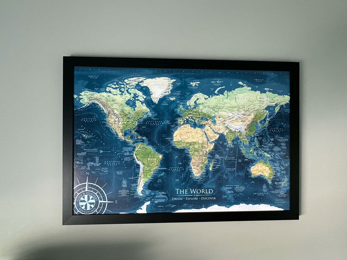
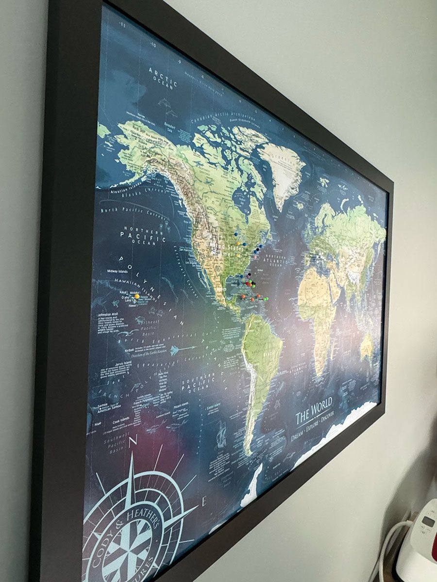
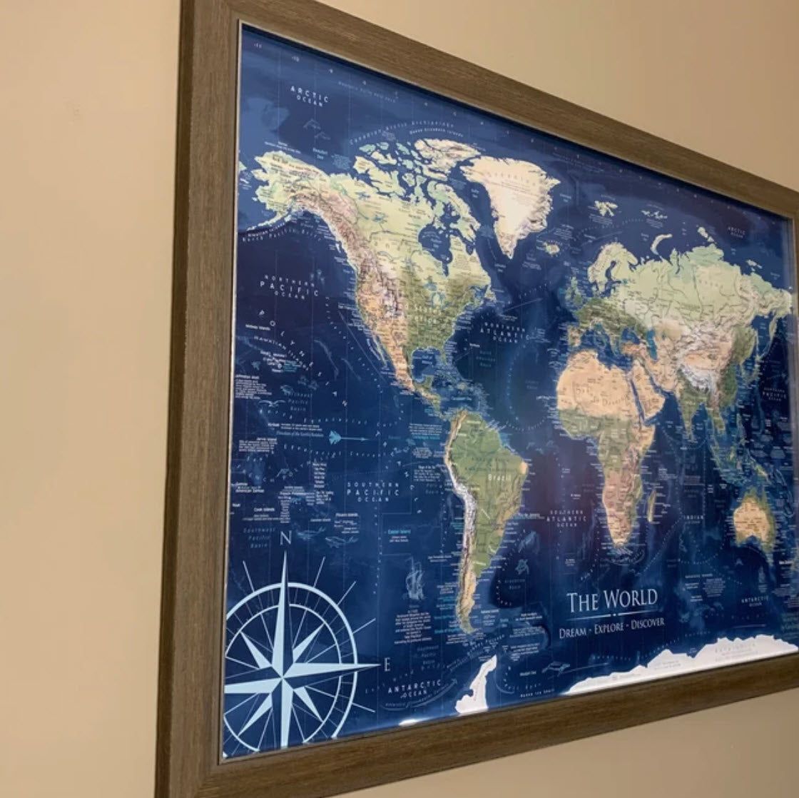
Plan and track your adventures with a masterpiece of the world. This Push Pin World Map is a fusion of modern geography, educational insights, and stunning artwork of Earth. Reference historical and cultural sites around the world as this map charts not only detailed cities and labeled countries, you can explore the natural landscapes, and historic trade routes, and follow the path of trade winds and currents with the detailed oceanography. The result is an impressive wall art showcasing Earth's natural beauty and complexity.
Key Features:
Comprehensive Geography: Features up-to-date political boundaries, labeled countries, U.S. states, major cities, and all 63 U.S. National Parks.
Rich Cartographic Detail: Beautiful cartographic illustrations and historical details. Reference the current Wonders of the World, including several UNESCO World Heritage Sites, and over 100 fascinating places on Earth that are fun to discover.
Advanced Terrain Visualization: Explore the formations of coastlines, mountain ranges, and deserts. The map blends informative elevation and landforms derived from satellites, NOAA oceanography data, and GIS technology.
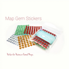
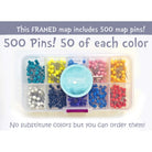
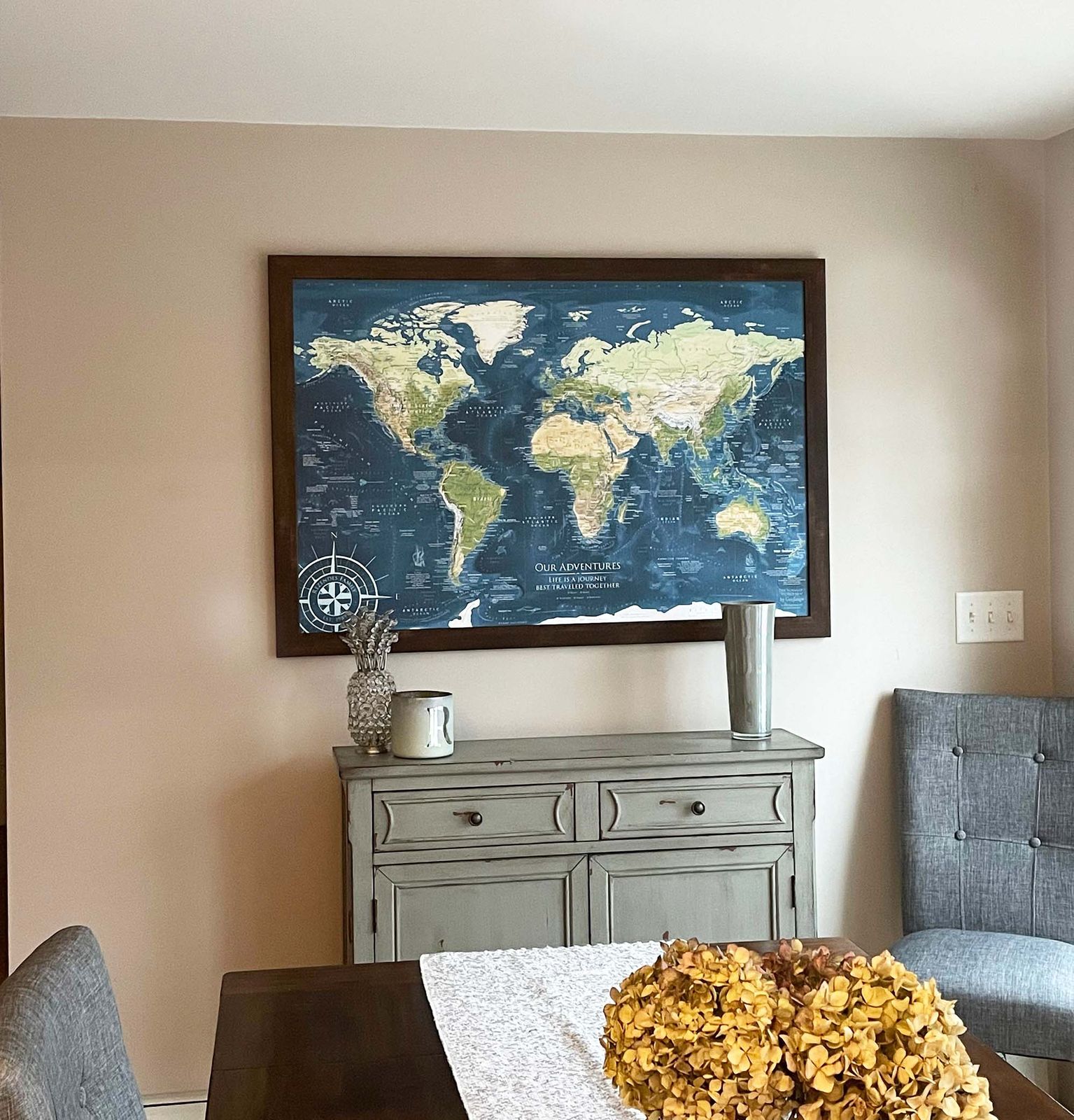
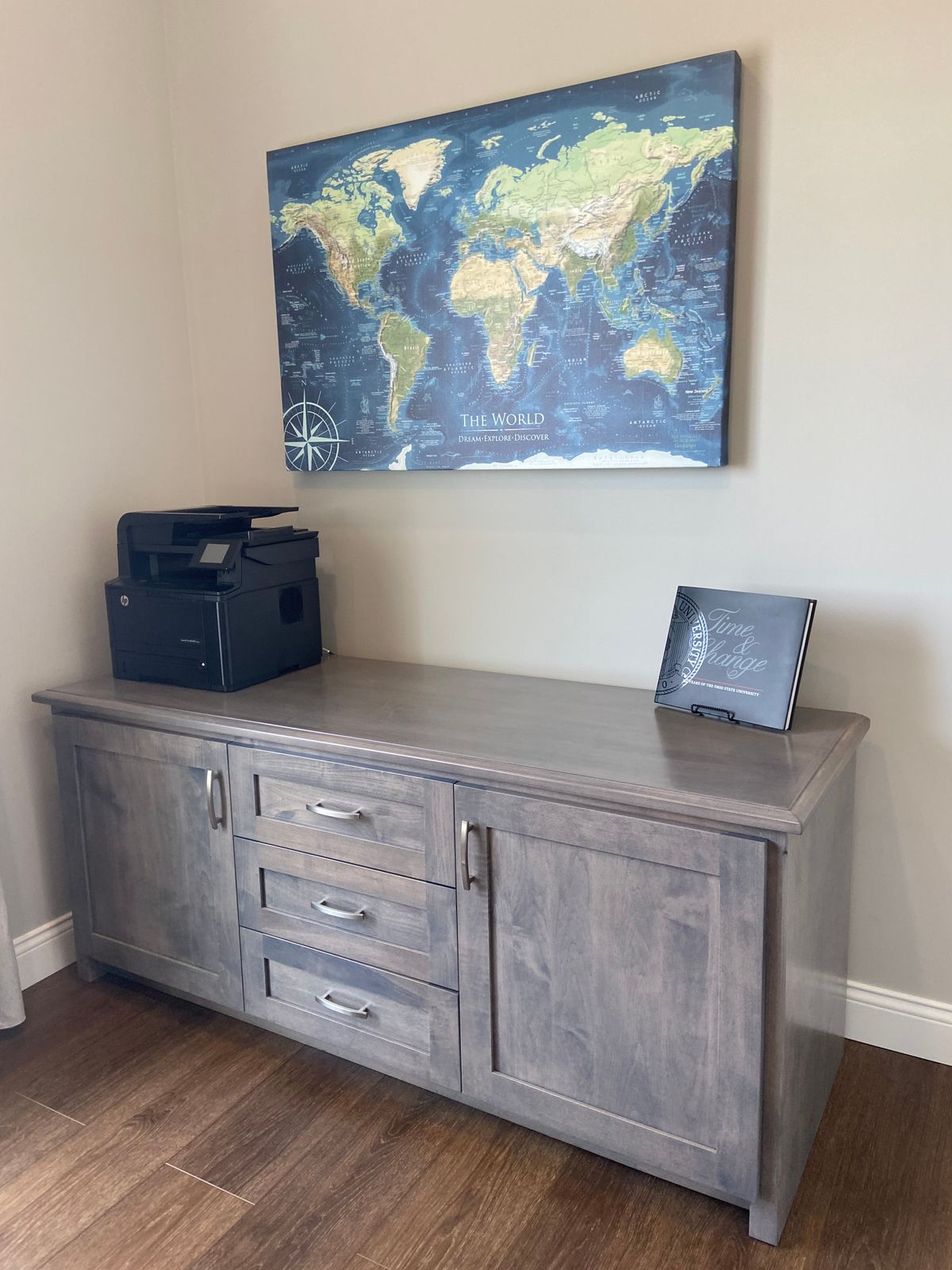
Push Pin Travel Map Options: Choose from our framed or canvas wrap options, each mounted on a durable pinboard specifically designed for use as a push pin map. These versions are perfect for pinning and tracking your travels or planning future adventures, transforming this map into a personalized world travel map pinboard. Each pinnable map includes a case of 500 map pins for marking your journeys.
Please note: Our rolled canvas and rolled prints are not suitable for use with push pins and do not include map pins.
Educational and Decorative: This map serves as a push pin travel map and a luxurious piece of art, offering more than just aesthetic appeal—it's a gateway to understanding the world’s geography, cultural sites, and the dynamic formations of the land and oceans on Earth.
What is the difference between Voyager 1 and Voyager 2: Voyager 2 includes snow and ice modeling using the MODIS satellite in the month of February (winter in the northern hemisphere). The Voyager 1 shows the elevation of the land under the snow and ice.
Coordinating USA Map: The Voyager 1 World Map Pairs with our Voyager USA Map. The two maps feature the same colors and will look great in the same room.
Custom Options: Personalize the map by adding a custom title, subtitle, or legend, or add a quote or phrase in our unique map compass. Proofs are provided for your review within 24 hours of your order (weekdays).
What makes our map different: Our maps offer tremendous value due to our commitment to excellence in professional cartography. Each piece is crafted using the latest GIS technology and high-resolution satellite imagery, sourced from authoritative agencies like the USGS and NOAA. This meticulous approach ensures that every map we produce is not only accurate but also rich in detail, offering more than just geographical information—it offers a deeper understanding of the world.
The value of owning a professional map extends beyond its aesthetic appeal. These maps are practical tools for education, travel planning, and exploration, providing precise topographical details and up-to-date political boundaries. For our customers, this means an investment in a functional piece of art that enhances learning, inspires adventure, and enriches any space it adorns, making every interaction an opportunity for discovery and inspiration.
Large World Maps: The larger the map, the more impressive the display and interaction. Consider our giant-sized maps. Whether featured in a business, office, classroom, or a feature in a home, a large map serves multiple purposes: it's a focal point for appreciation of our world, a practical tool for geographic exploration, and a source of inspiration for travel enthusiasts. With ample space to pinpoint locations, plot travels, and display geographical information, these large maps provide exceptional value, combining functionality with a stunning visualization of Earth.
Quality and Guarantee: We stand behind our work and guarantee the construction and quality.
Beautiful map, great quality! So excited to add our pins & remember all our fun trips.
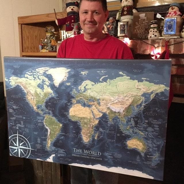
We absolutely loved this map - and my husband was so happy to get it for his birthday! I forgot to order with the frame and they were so helpful in getting my order updated. They made every step easy and quick- and the custom map came well-packed and earlier than expected.
We absolutely love our world map. It's beautiful and we are having so much fun plotting all our previous travels along with our bucket list.
It is beautifully made, the colors are so nice, the pins come in a convenient little case, and the options of frames, size and personalization are terrific.
The Voyager 1 by GeoJango Maps is an excellent way for us to display and track all of our adventures. The framed map was easy to install and makes a statement in the room it is hanging. We were pleased with the quality and how quickly it arrived. Having the ability to personalized the map with our names made it even more special to us. We've enjoyed going through our past adventures and adding them to the map. Having an overall picture of where we've been makes us feel blessed and we look forward to adding more pins!
